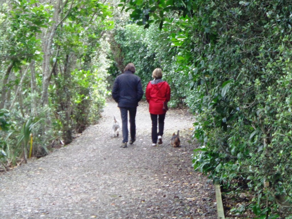
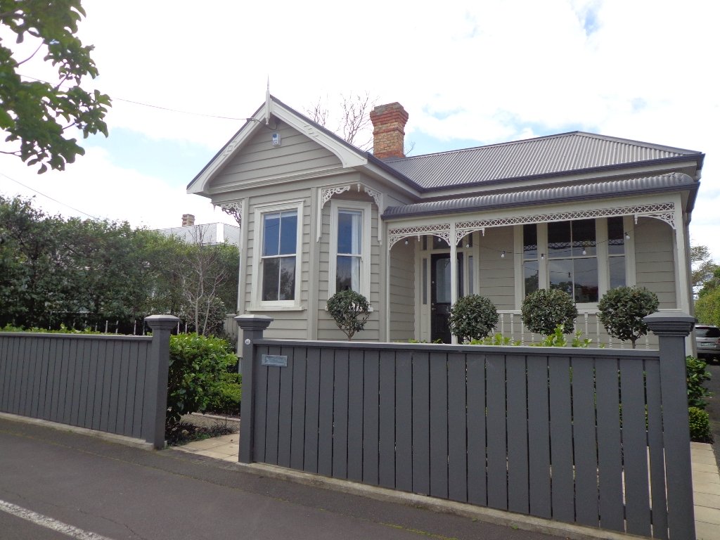
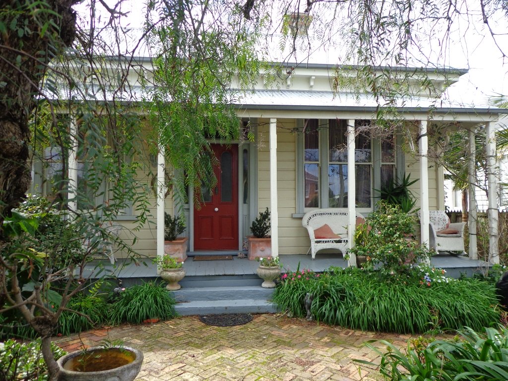
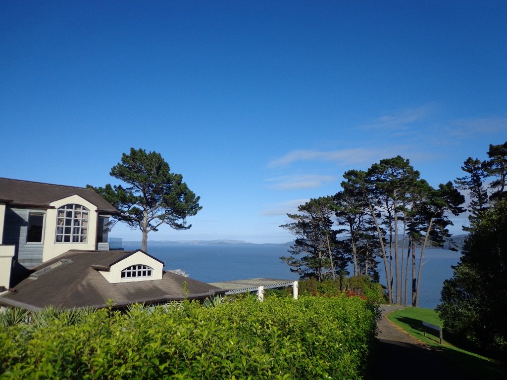
Devonport is one of our favourite places to walks in Auckland. The combination of harbour and city views, Victorian style homes and fabulous cafes makes it an enjoyable place to visit.
We have put together three one hour loop walks starting from the Devonport ferry terminal.
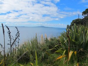
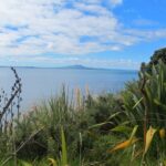
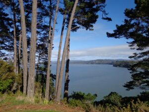
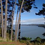
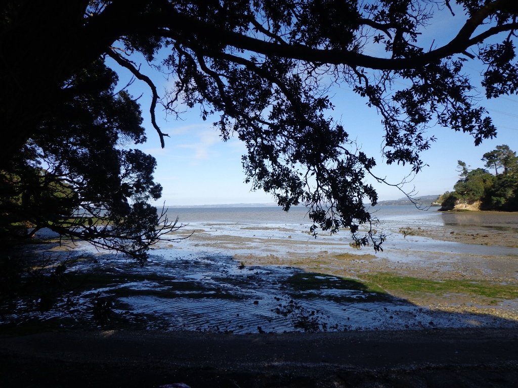
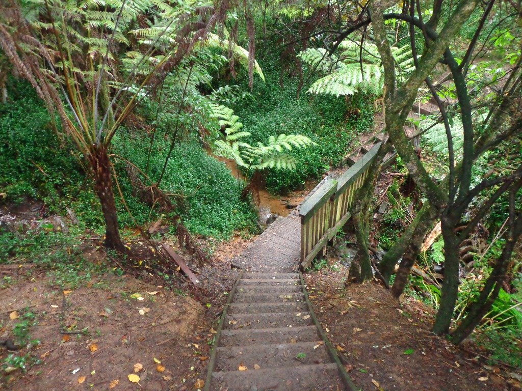
Devonport to North Head. Take your torch for the tunnels and your camera to capture the views across the Gulf!
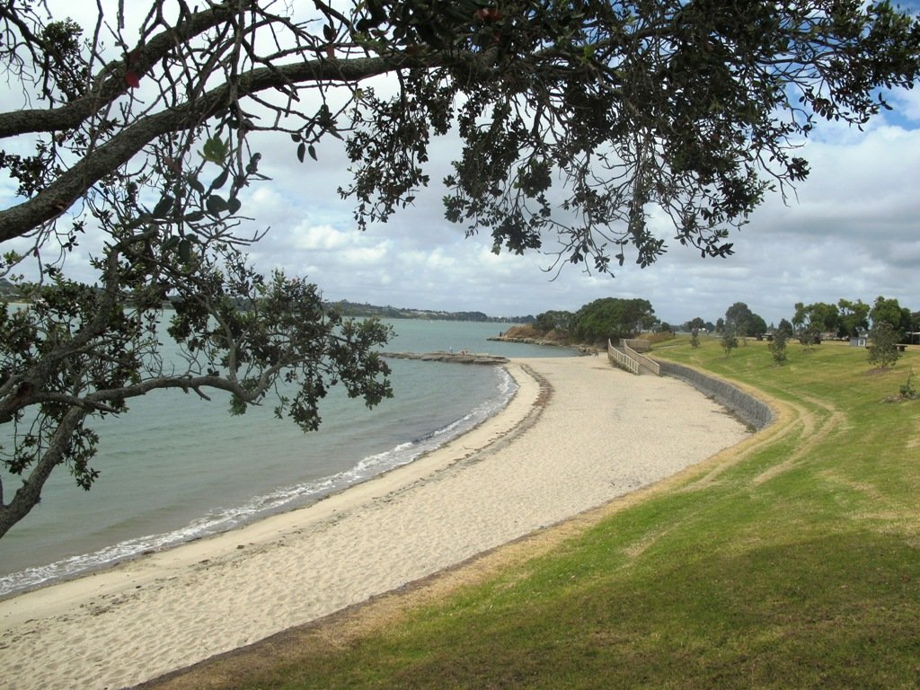
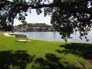
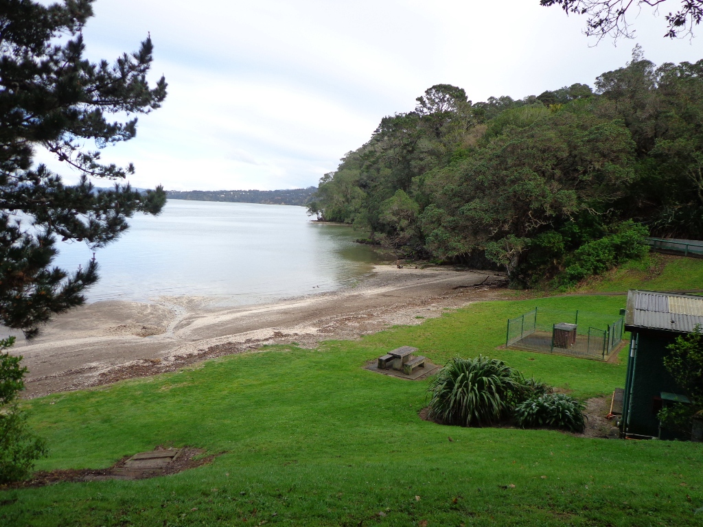
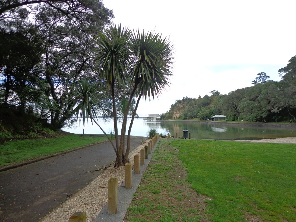
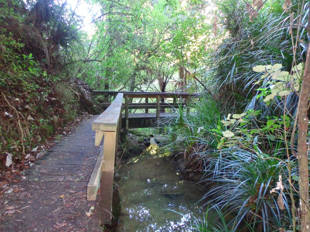
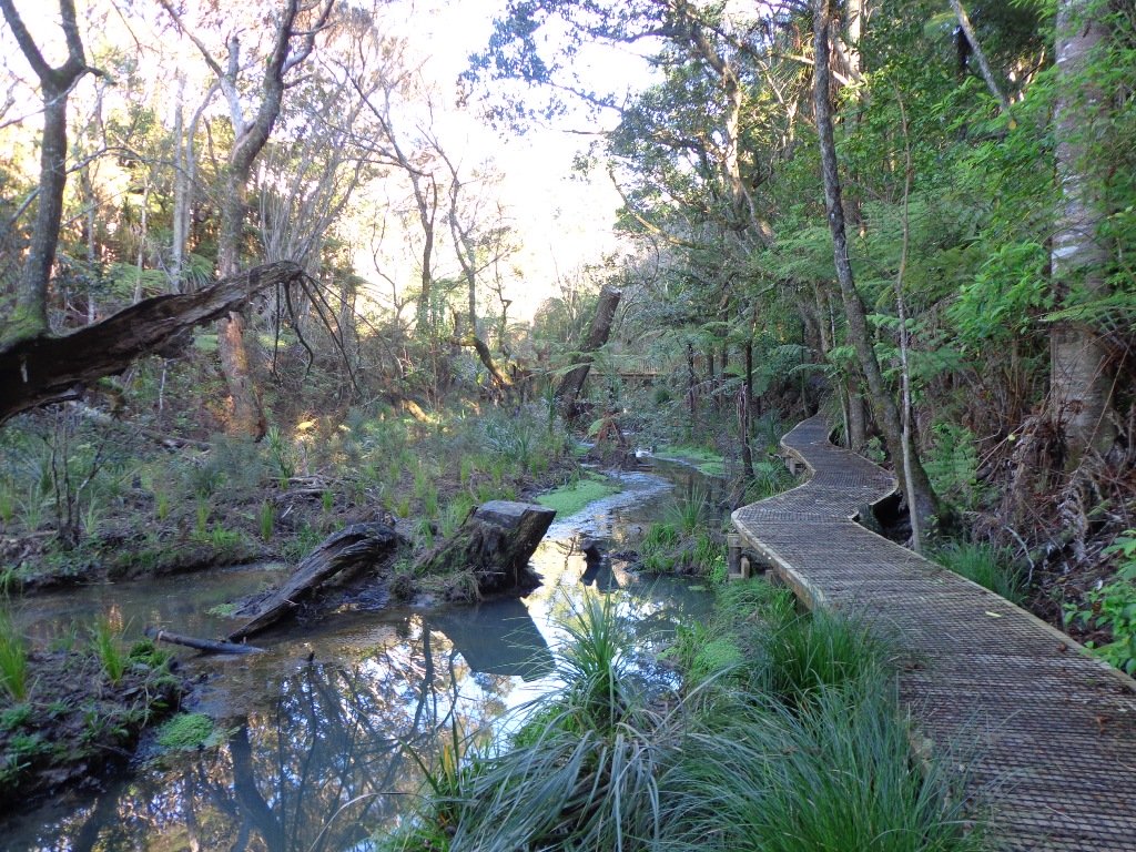
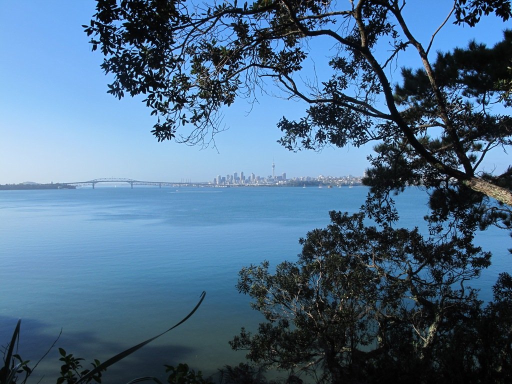
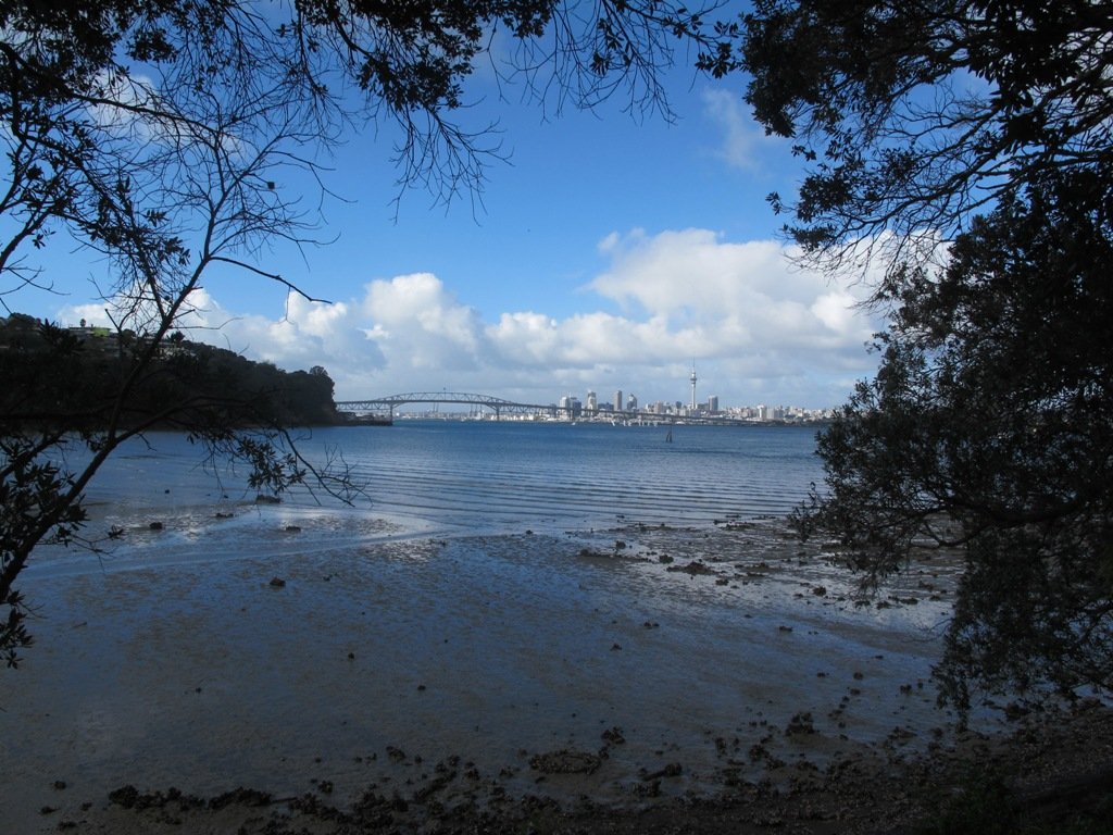
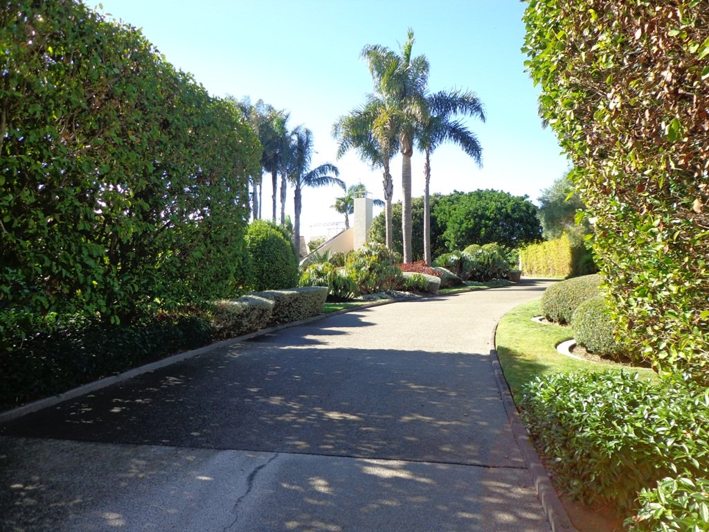
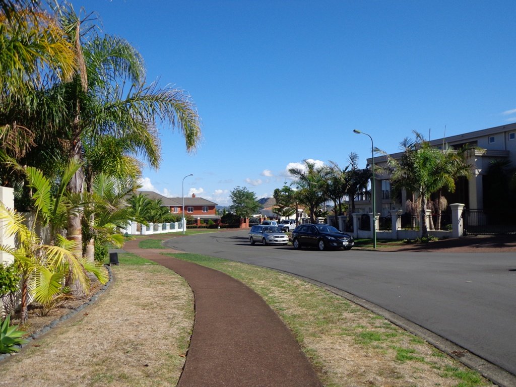
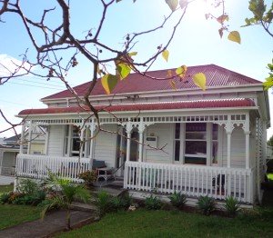
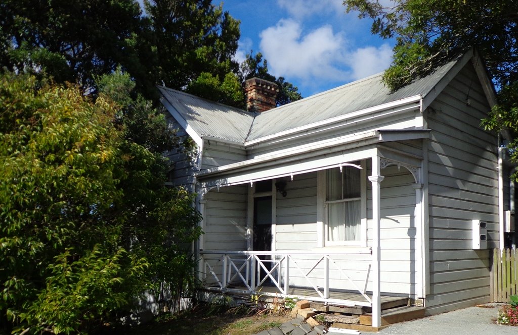
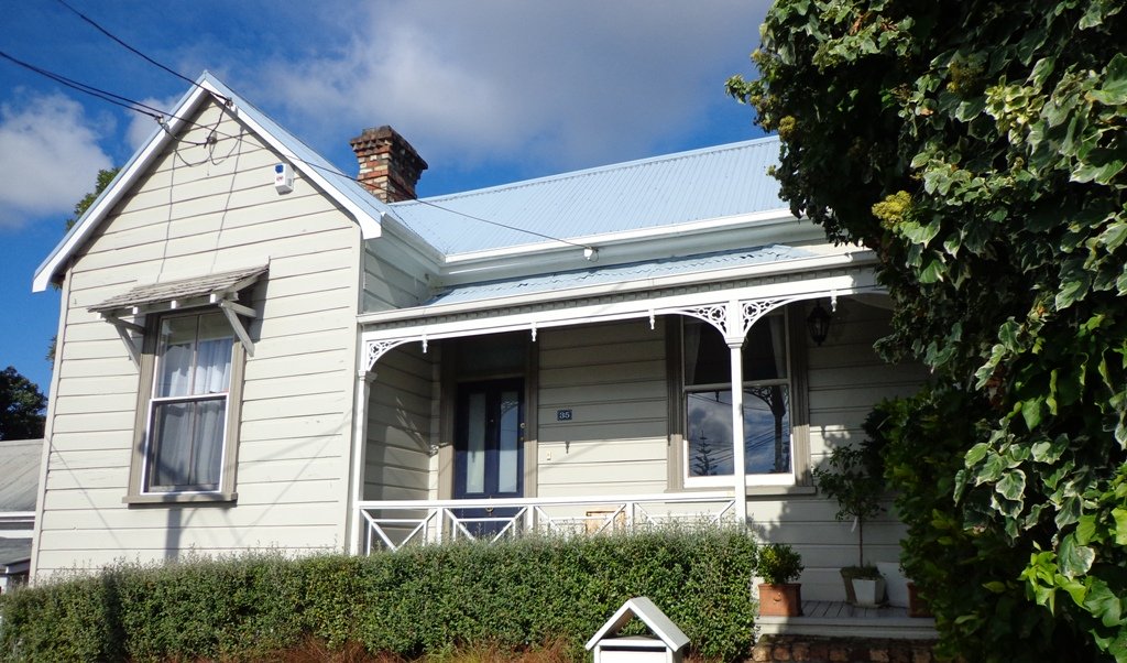
Devonport to Ngataringa. Walk along the esplanades and parades of Devonport with the view across the Gulf and to the skyline of the city and beyond. Take the time to admire the beautifully kept Victorian style homes. Followed by the sounds of birds as you walk alongside Ngataringa Park. Read more :Devonport Ngataringa Loop
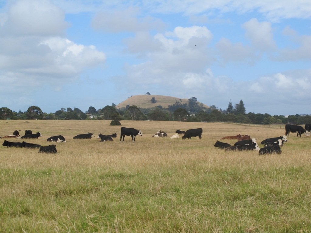
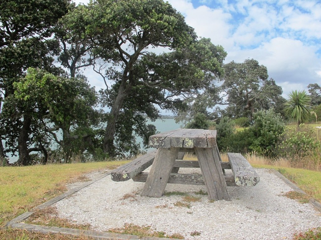
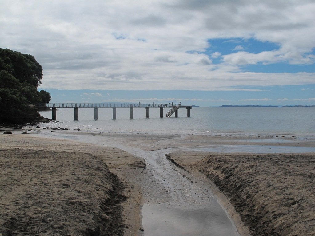
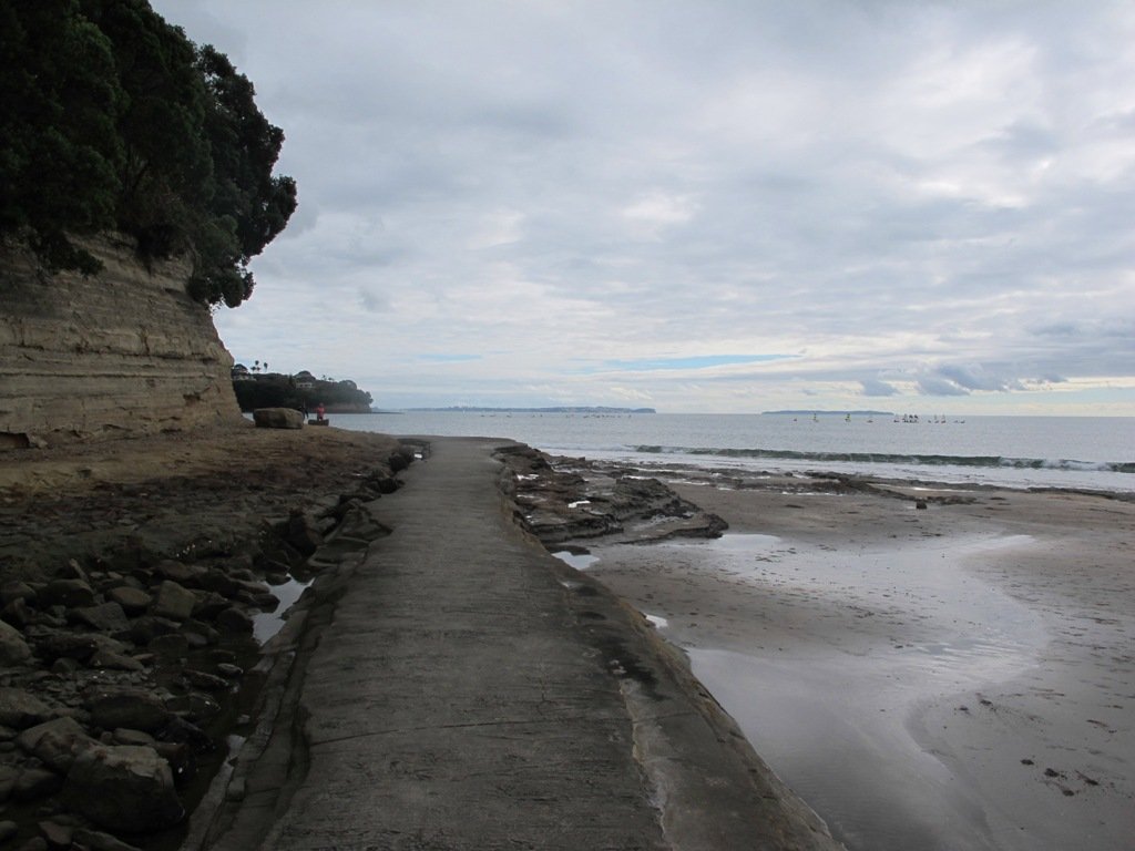
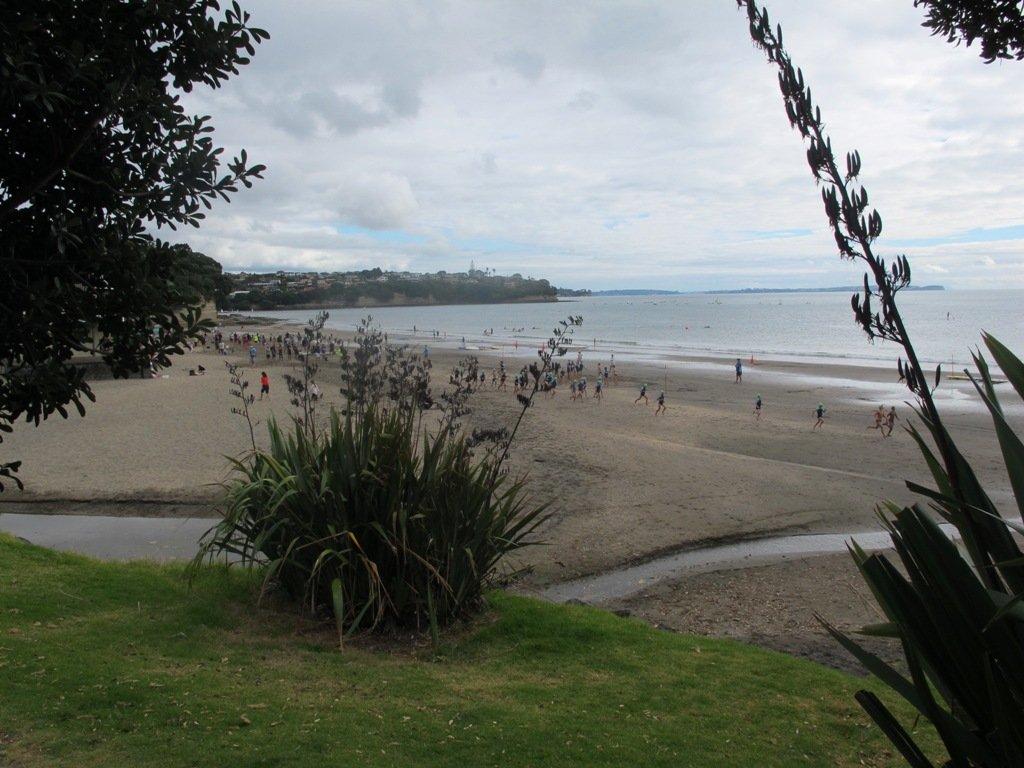
The clifftop and beach loop walks starting at Campbells Bay and taking in Mairangi Bay, and Murrays Bay and part of Rothesay Bay on Auckland’s North Shore provide stunning views over the Hauraki Gulf and Islands.
The beach walkway is dependent on weather and tides (check tides here).
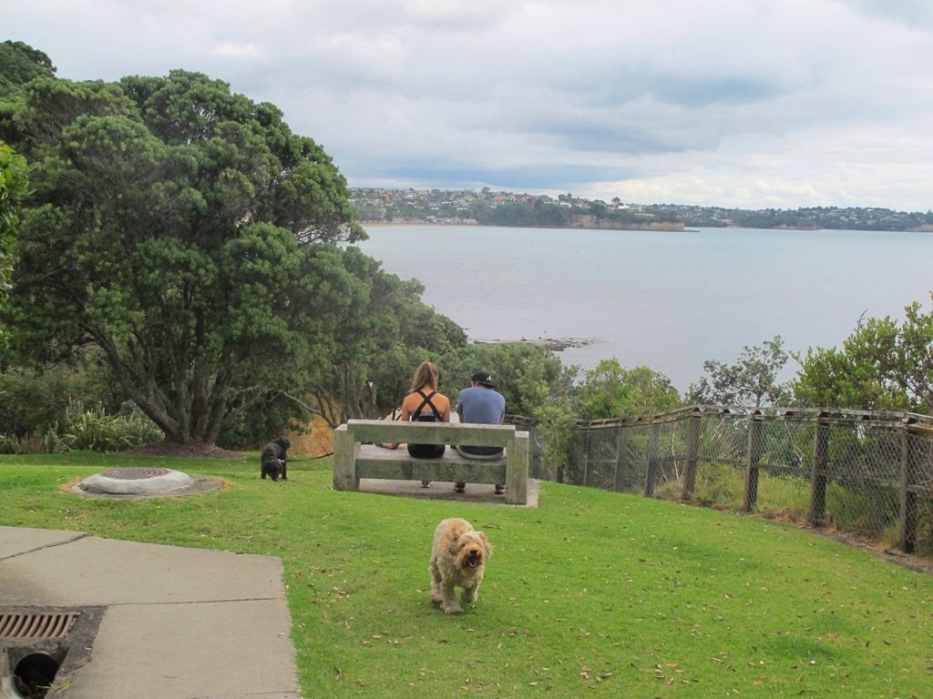
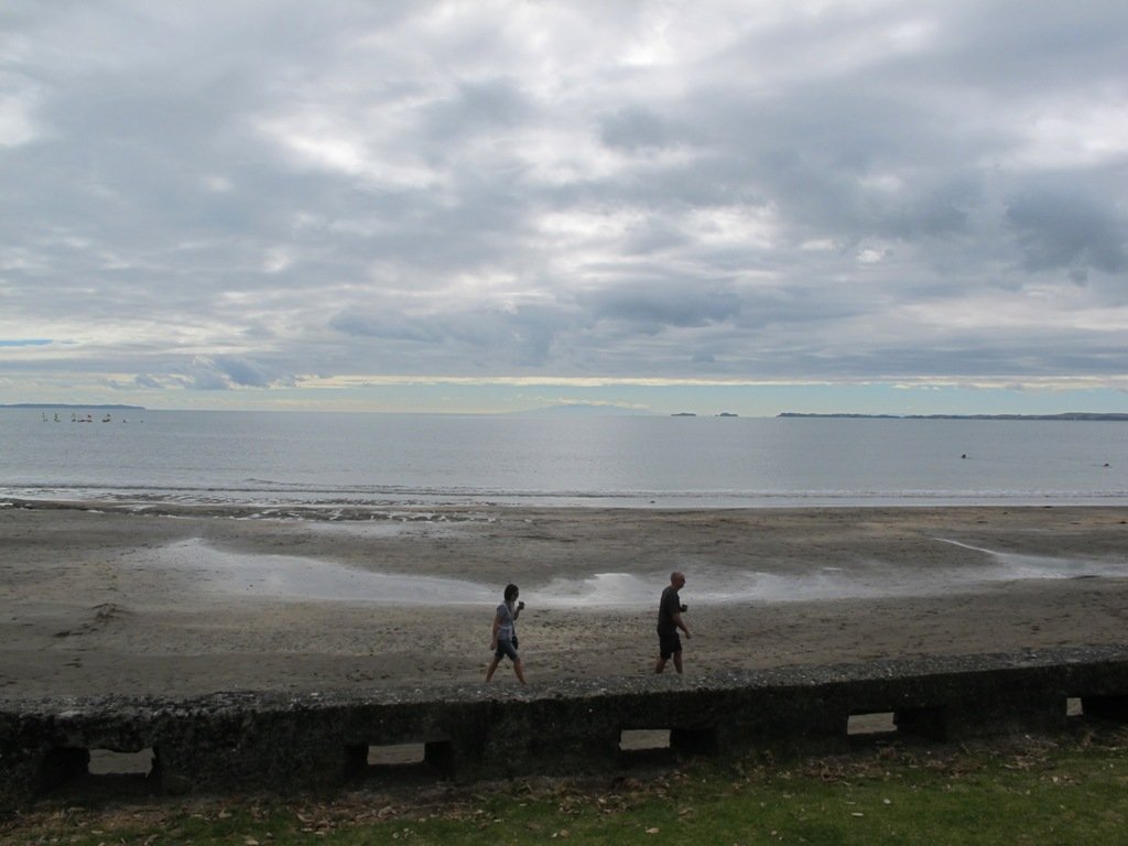
Today the beach at Maurangi Bay was busy with sailors, surf lifesavers, swimmers and paddle boarders.
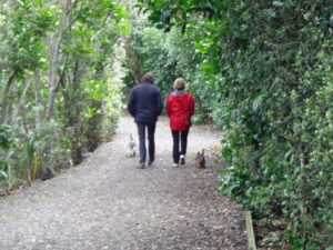
People were out walking their dogs – and the dogs looked very happy racing around off the leash along the cliff paths. Be sure to check out the Auckland Council dog rules for the North Shore beaches here.
Dogs are allowed under control off-leash at any time at Churchill Reserve Beach (Rothesay Bay).
The walkways do have steps so a good level of fitness is needed.
Description: Mostly level paths with some steps and one steep climb. Suitable for most ages and levels of fitness and mobility, designed with flat shoes or running shoes in mind. Not suitable for pushchairs. Not recommended at high tide. To see: Coastal views. Time: approx. 80 minutes (about 6.65 kms). Parking: View Road, Campbells Bay. MAP
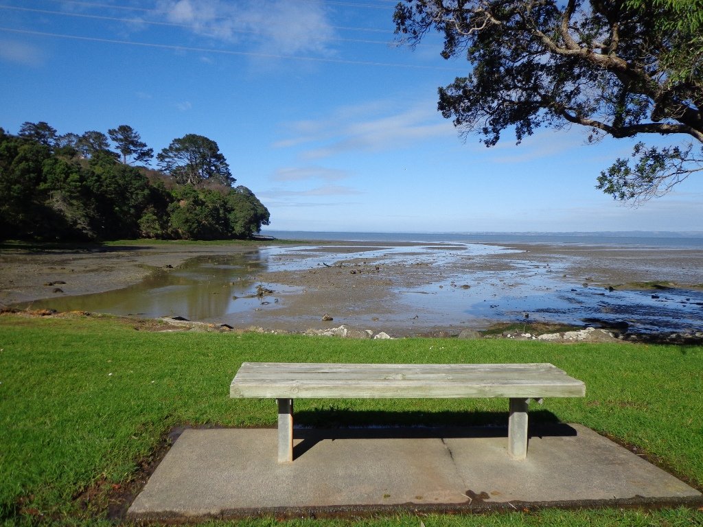
With the weather looking uncertain and the wish to keep our shoes out of the mud, today we headed over to one of our favourite places to walk in Auckland – Devonport. We were uncertain of where we were headed, and as it turned out, we were very pleasantly surprised at how well our circular route revealed itself.
As always, it is uplifting to walk along the esplanades and parades of Devonport with the view across the Gulf and to the skyline of the city and beyond. And then the joy of looking at the beautifully kept Victorian style homes. Followed by the sounds of birds as we walked alongside Ngataringa Park.
Dogs – off leash exercise area in Ngataringa Reserve.
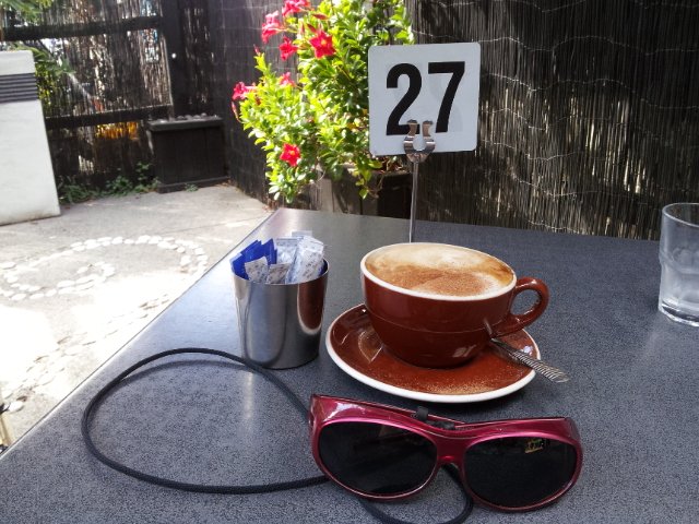
We are then spoilt for choice as to where to stop for refreshments, and choosing from the many cafes can take time!
Description: A mix of level paths, steep paths and steps. Suitable for most ages and levels of fitness and mobility, designed with flat shoes or running shoes in mind. Not suitable for wheelchairs and pushchairs. To see: Hauraki Gulf and Auckland City views, historical buildings, Victorian style homes. Time: approx. 60 minutes (about 5.5 kms). Parking: In Devonport Village near ferry terminal or along King Edward Parade. MAP
The Blockhouse Bay Tiriwa walk in Auckland follows the high cliff edge alongside Manukau Harbour to Green Bay Beach and then continues inland to Craigavon Park.
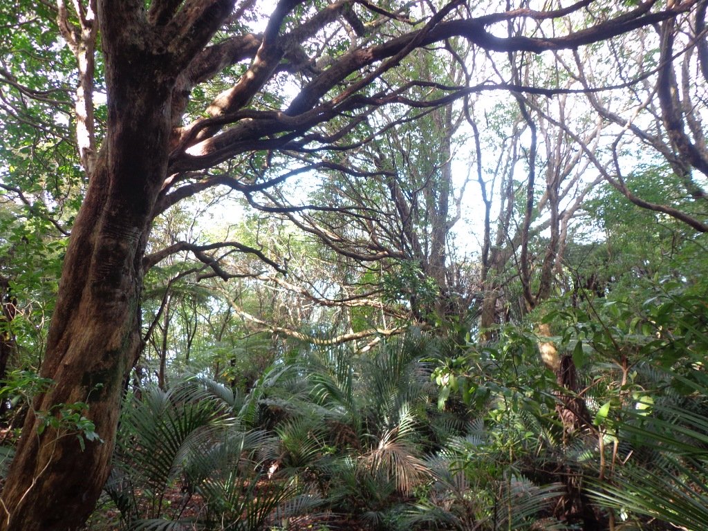
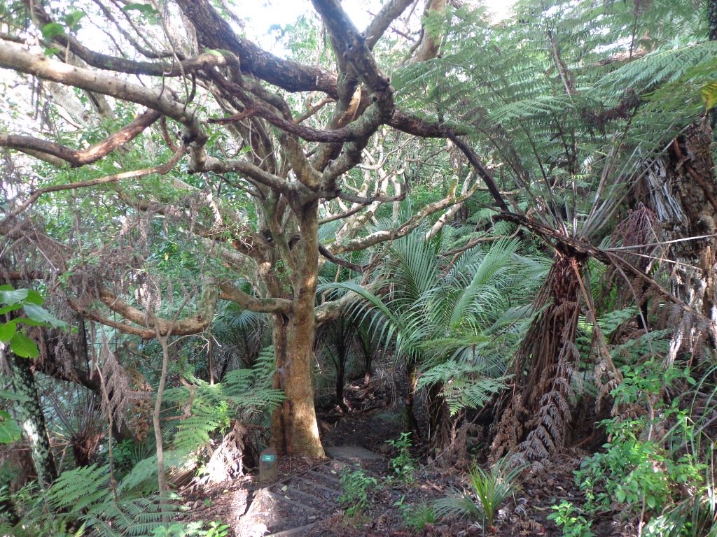
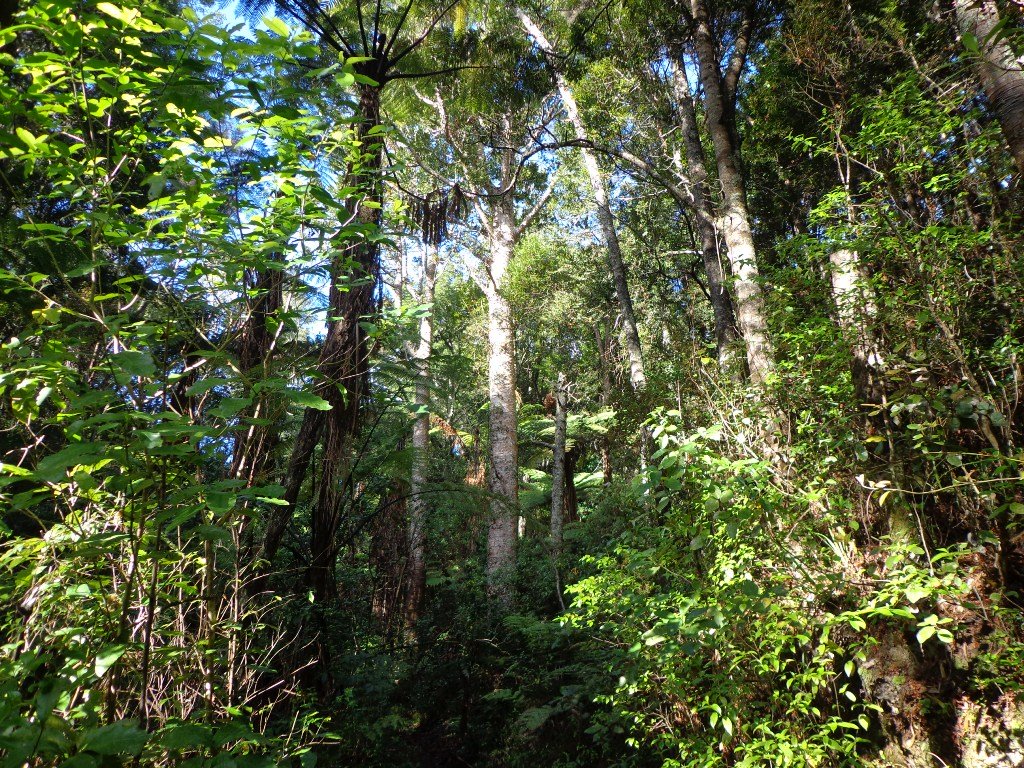
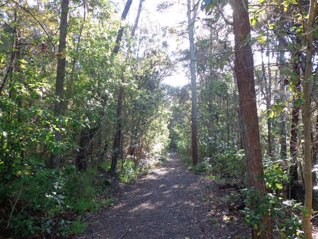
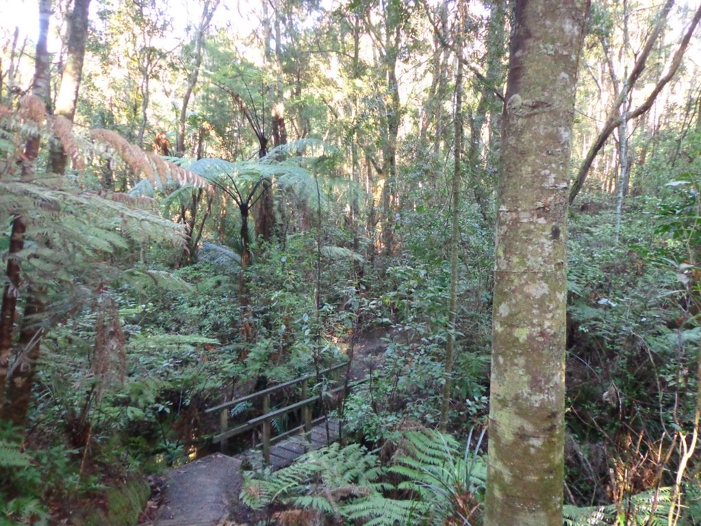
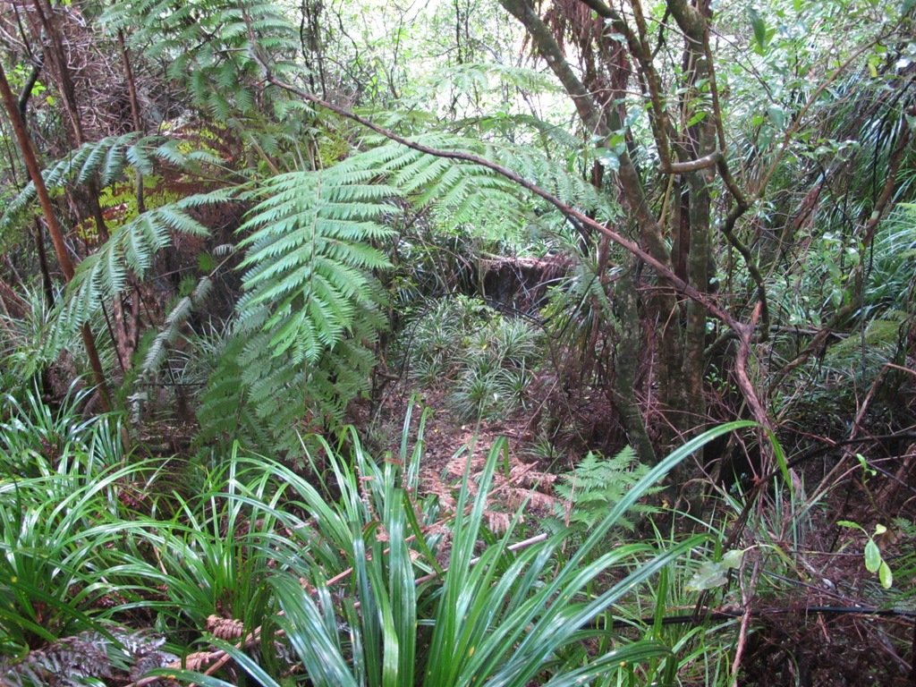
This is another newly discovered gem for us. The Pathway of Tiriwa (Te Ara O Tiriwa) is named after a Maori chief who lived in the area pre-canoe days. The pathway takes you through Punga ferns and mature Puriri trees. Native pigeons feed here in summer months.
There are steep steps down and up the small gullies along the pathway, and the track was muddy today but not too bad (best to walk in dry weather).
We stopped for refreshments at the newly opened The Block cafe in the main street of Blockhouse Bay. What a wonderful “buzzy” community friendly place – and the menu looked mouth watering. The brunch plates that were being served looked generous.
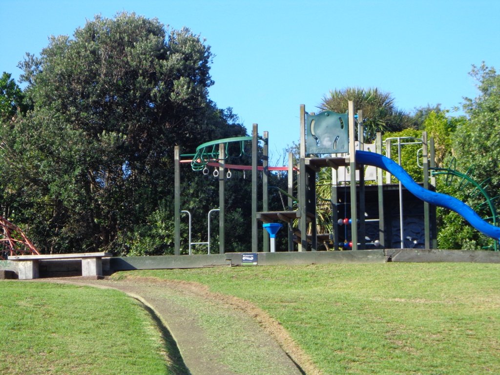
This walk also includes children’s playgrounds, picnic spots with BBQ’s, a fitness trail, public toilets – and hungry ducks to feed.
Description: Bush track, steps, inclines. Muddy in places when wet. Suitable for users of average fitness and mobility. To see: Native bush, views across Manukau Harbour, native birds Time: approx. 60 minutes. (about 5.0 kms). Parking: Blockhouse Bay Reserve Buses: Blockhouse Bay Road MAP
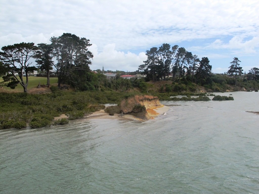
The views across to Blockhouse Bay and Manukau Heads in the far distance along the Lynfield coastal walk this morning, were spectacular! The sun was shining, the sky was clear and the tide (check here for tide times) was almost full.
This was an explore walk for us – trying to work out the best circular route without too much street walking. The route has a few steep ups and downs, which makes it a good workout. We met some people who were walking their dog off leash along the reserve.
Description: Bush track, steps, inclines. Muddy in places when wet. Suitable for users of average fitness and mobility. To see: Native bush, views across Manukau Harbour, native birds. Time: approx. 45 minutes. (about 3.75 kms). One small children’s playground. Dog friendly off-leash in Manukau Domain (alongside the Lynfield Cove Walkway). Parking: Himalaya Crescent, Lynfield. Buses: Halsey Drive, Lynfield MAP
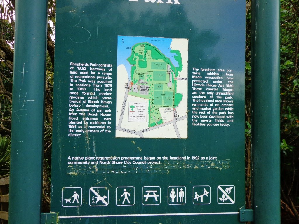
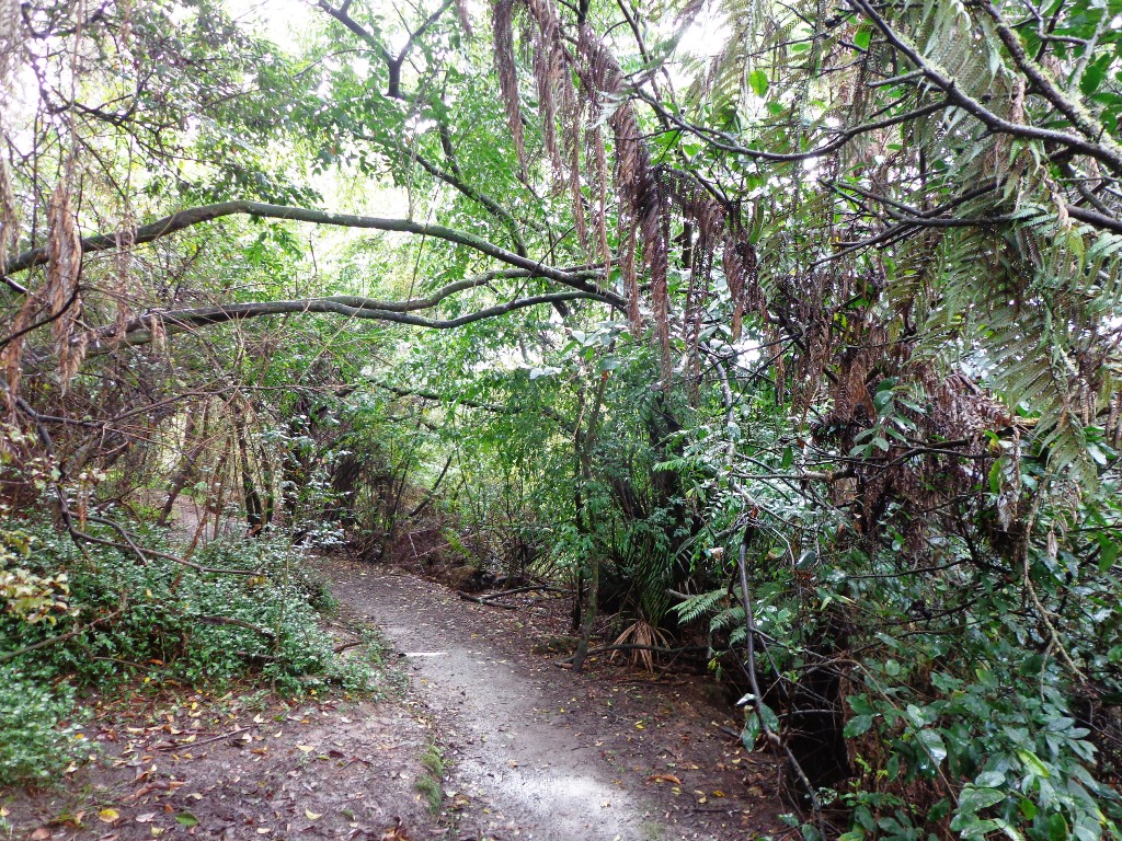
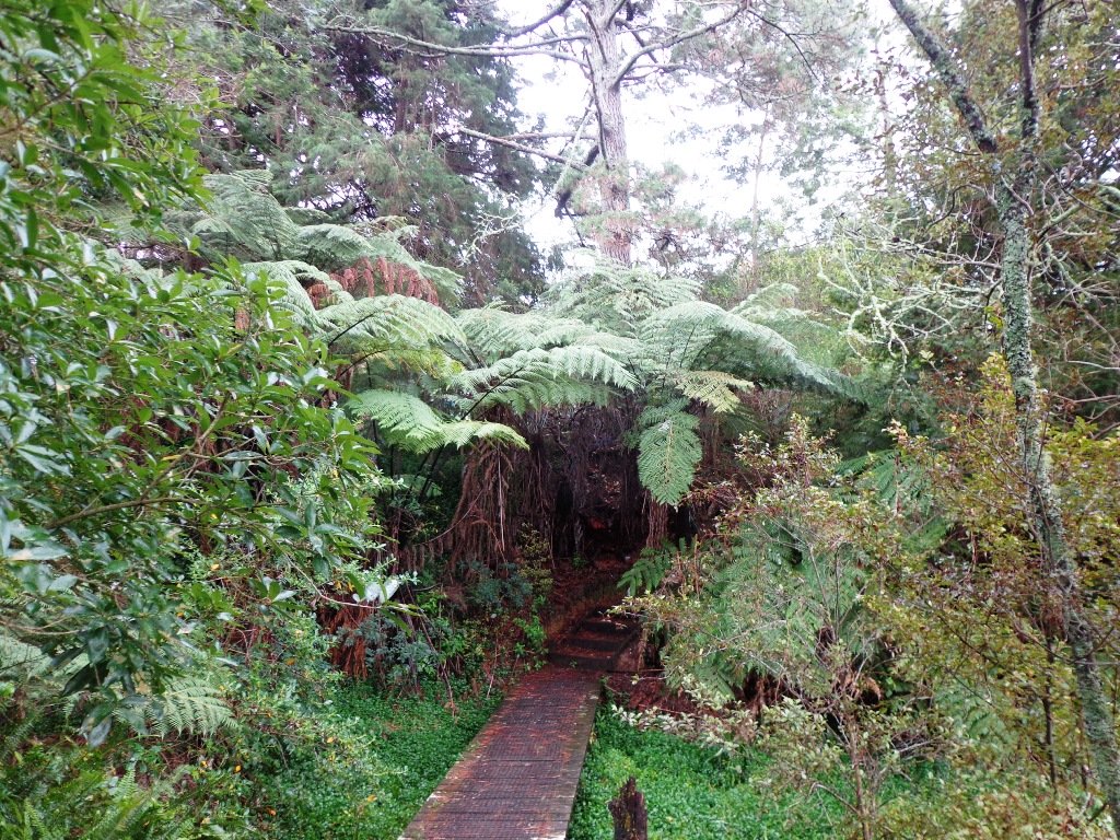
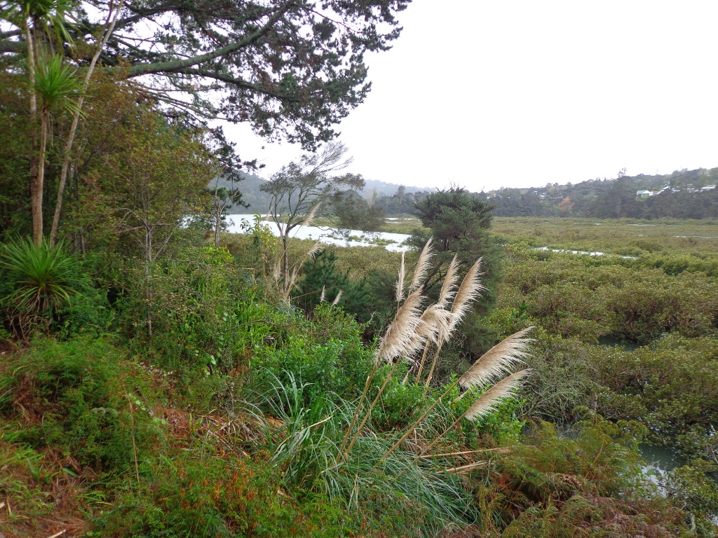
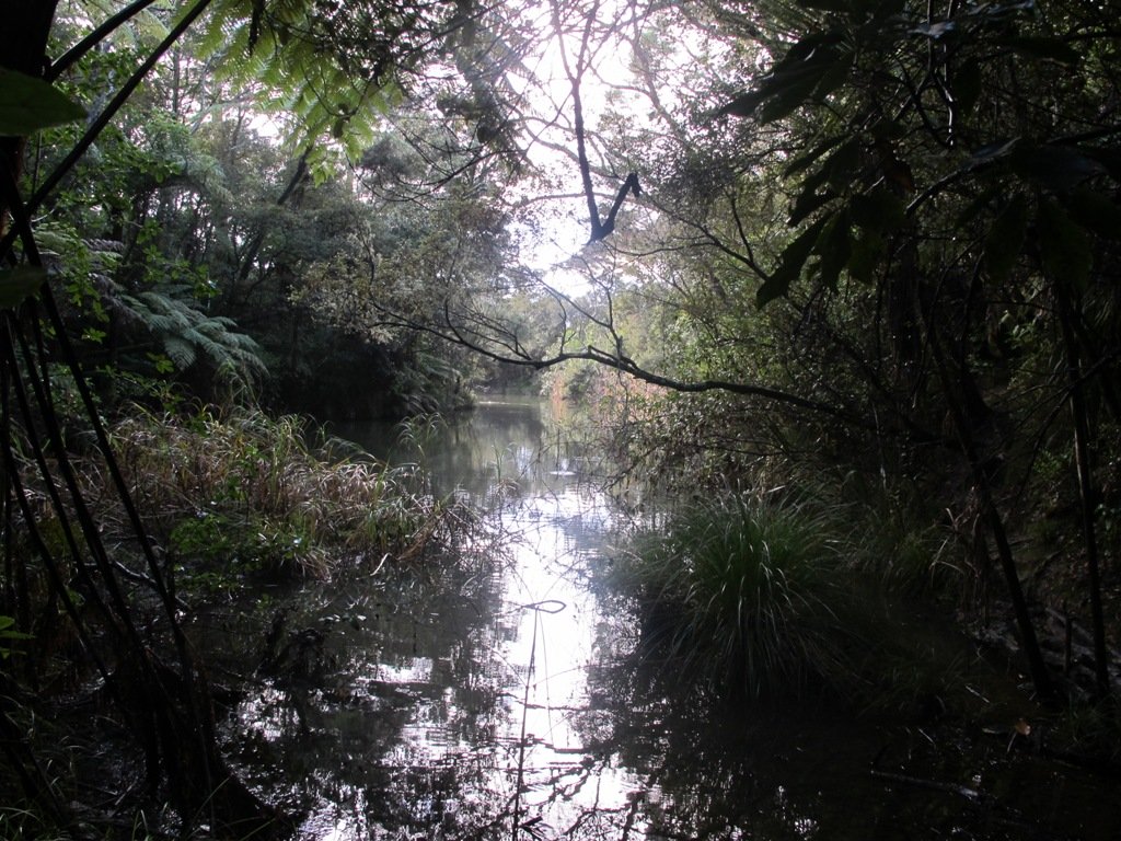
The Beach Haven coastal walk on Auckland’s North Shore hugs to the coastline with views to Bayview, Hobsonville Point and the bush that runs alongside the Upper Harbour Highway. The route follows Hellyers Creek, then all the twists and turns of the small mangrove-filled inlets, and through trees filled with birdsong.
Today was rainy and windy – the yachts sailing out from Hobsonville Point were making the most of the winds. But we were sheltered by the trees and small gullies.
This walk begins at the Community Creche entrance to Shepherd’s Park, where there is a children’s playground a cyclists learning track and a fitness trail, as well as sports fields. The signs indicate that dogs must be kept on-leash (but we did see dogs off leash along coastal walkway).
If you wanted to make this a day outing, you could catch a ferry from Britomart to Beach Haven. Bring a picnic lunch.
Description: Bush track, steps, inclines. Muddy in places when wet. Suitable for users of average fitness and mobility. To see: Native bush, views across Auckland Harbour, native birds. Time: approx. 60 minutes. (about 5.0 kms) Parking: Beach Haven Community Creche carpark. Buses: Tramway Road stop on Beach Haven Road. Ferry: to Beach Haven MAP
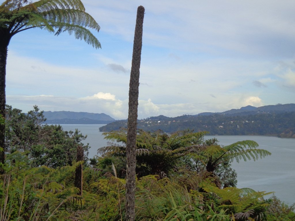
Today we set out to explore the Bayview area near Glenfield on Auckland’s North Shore. What a wonderful surprise to find a beautiful bush walk, alongside the Upper Harbour reaches, all part of the Glenfield Coastal Walkway.
The walk takes in Manuka Reserve with views of the upper harbour, Hobsonville Point and native bush. Not only are there stands of manuka trees (tea trees) beside the estuary, but inland within Leigh Scenic Reserve, there are kauri trees and palms.
This circular walk is mostly bush with only a small section of street footpaths. It is suitable for families, with two places to stop at playgrounds. Dogs must be kept on leash.
Description: Bush track, steps, inclines and board walks. Muddy in places when wet. Suitable for users of average fitness and mobility. To see: Native bush, small waterfalls, views across Auckland Harbour to Hobsonville Point, native birds. Time: approx. 60 minutes. (about 5.0 kms). Dogs on leash. Two childrens playgrounds. Start: Lynn Road, Bayview near Glenfield. MAP
***Please note: September 2018 This track has been temporarily closed due to Kauri Dieback
Stay on track…get your detailed guide and map (AN-080 Bayview Bush Walk)over at our Walks Store and our Book Store (one of 12 walks featured in our books “Urban Bush” and “Dog Friendly Walks part two”).
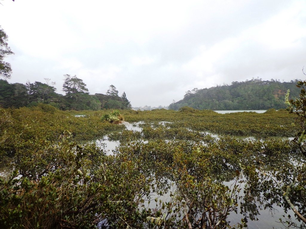
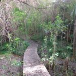
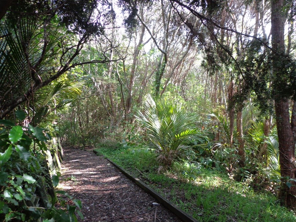
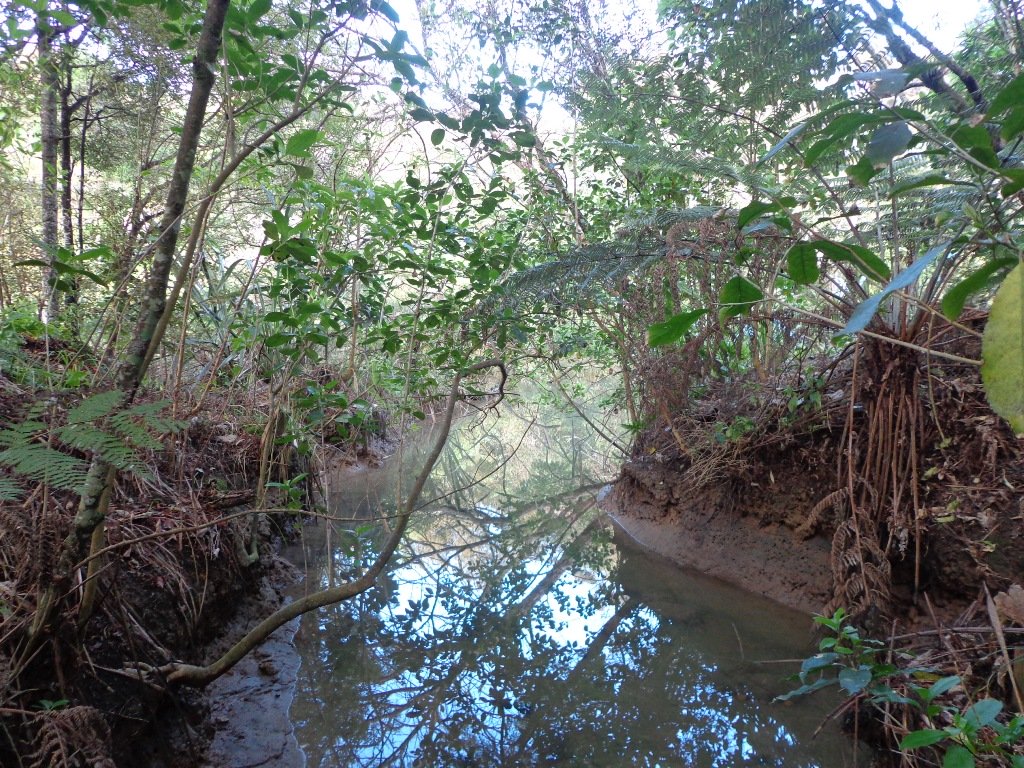
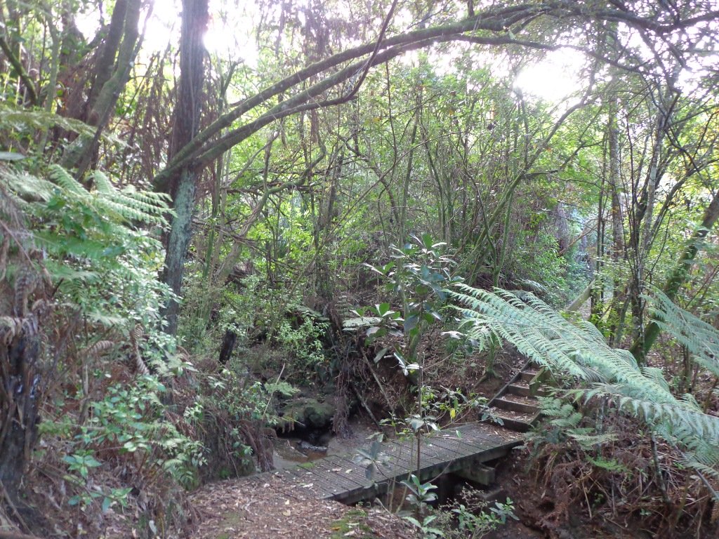
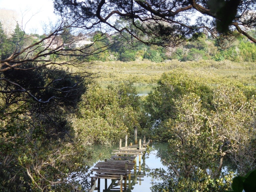
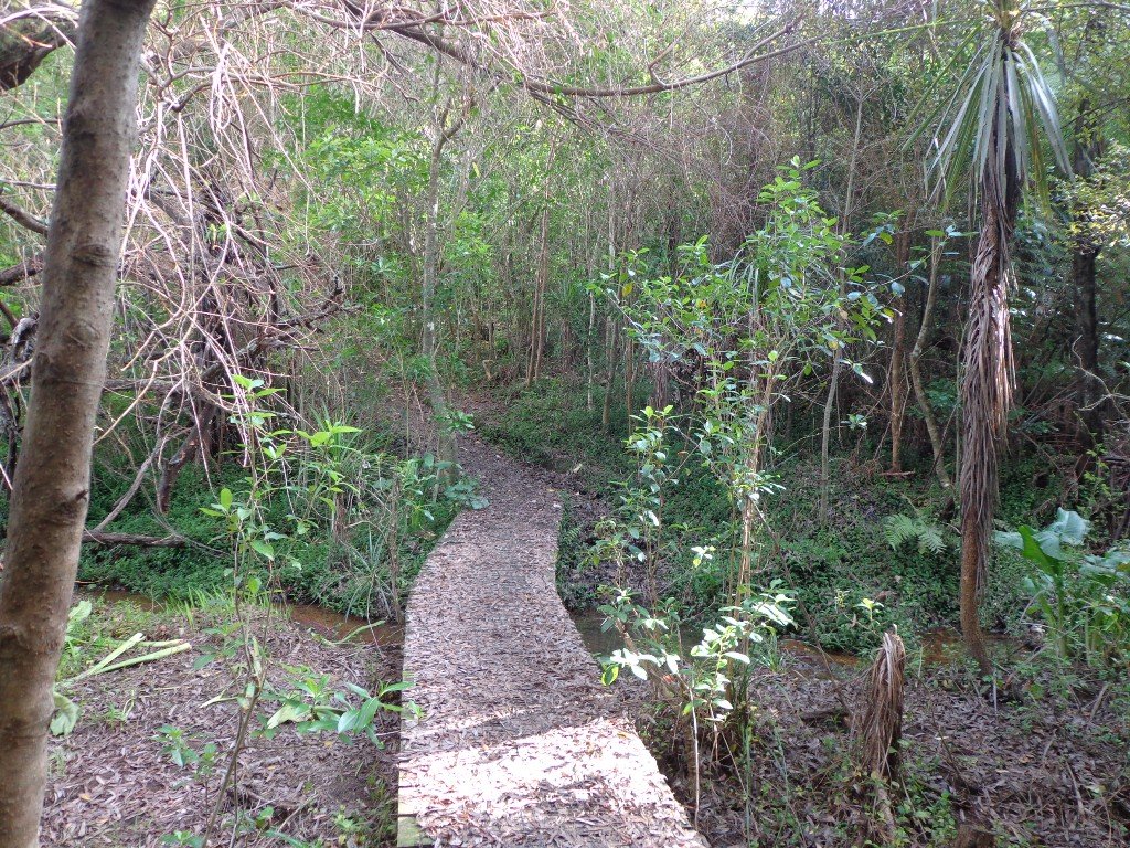
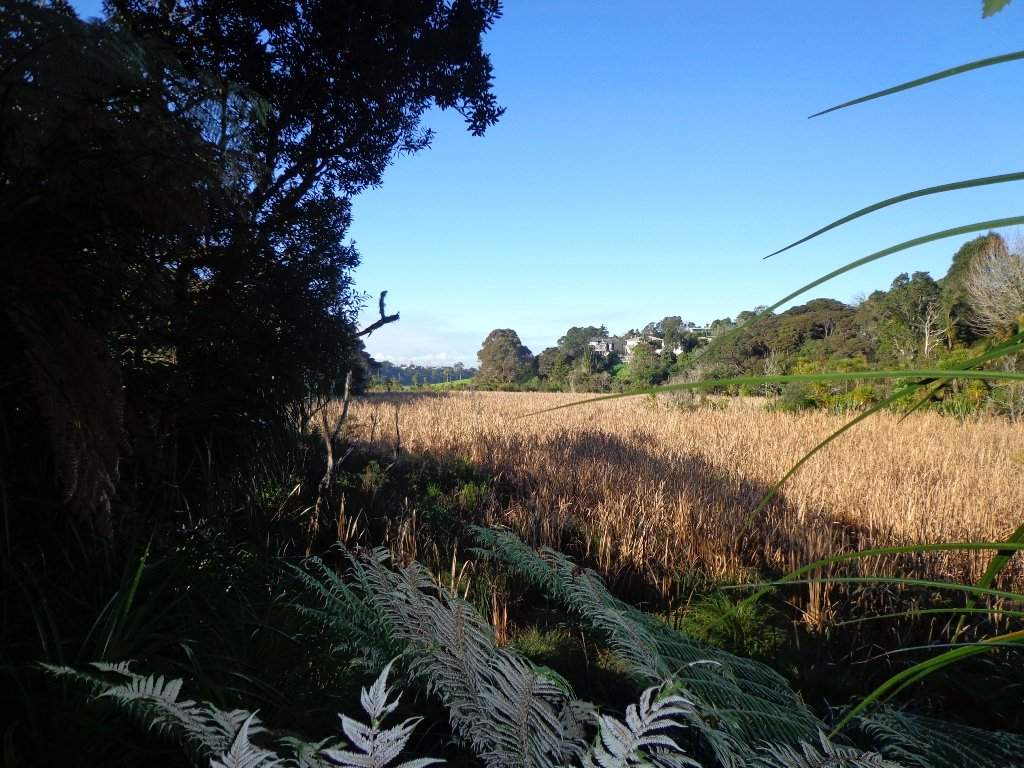
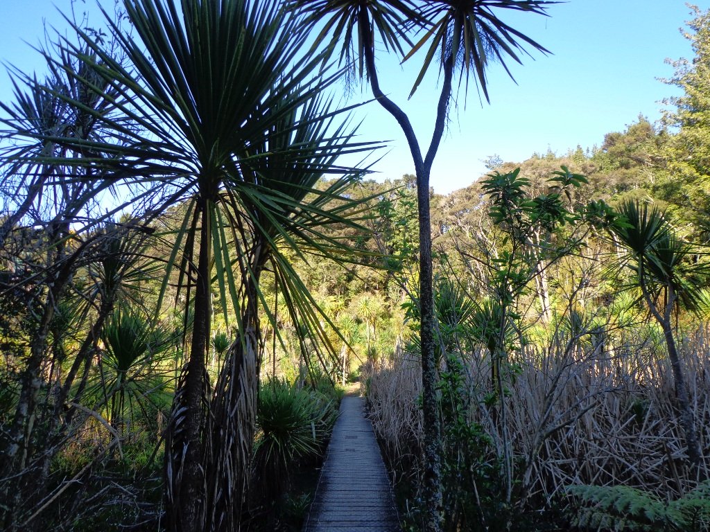
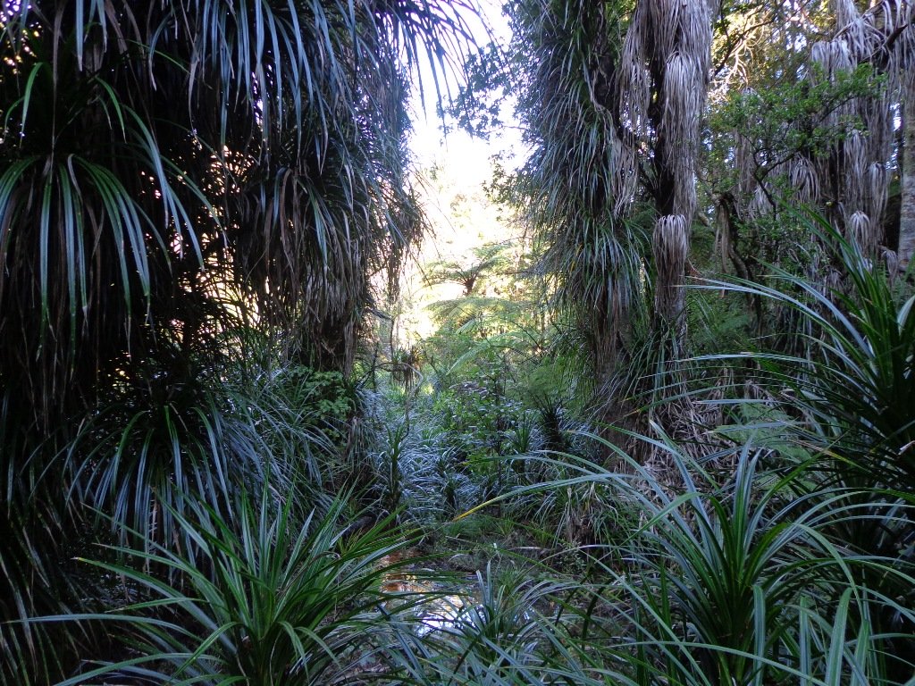
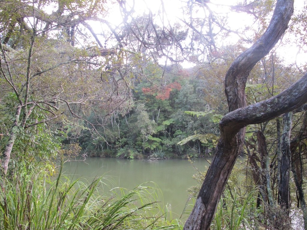
Saying that you are going for a walk in the bush in urban Auckland, may sound like an oxymoron…however, that is one of the many wonderful aspects of walking in Auckland – you never have to go far to find native bush. Kauri Glen Reserve lives up to it’s name and Le Roys Bush follows a stream downhill to the restored wetlands of Little Shoal Bay, Northcote (which was once a tidal estuary filled with mangroves).
This morning the sun was out (as well as the tide!), which made it a very pleasant and warm winter’s day. Some of the smaller tracks are wet, muddy and slippery so if that doesn’t fit with you, then I suggest that you save them for a summer walk. The loop walk we have documented keeps you on the drier paths and boardwalks.
We were rewarded with sunlight filtering through the native trees, the sound of the bubbling stream and the songs of the native birds – we could have been deep in the bush instead of in the middle of urban residences!
Free Map for your smartphone – go to the new prototype site: Le Roys Bush Walks[22Nov2015]
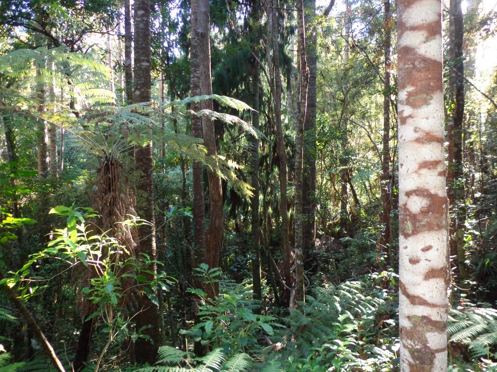
Kauri Glen is one of the oldest bush reserves on the Shore (measures about 25 acres and first sizeable pieces of land that was placed under public management) which includes trees such as taraire, totara, kauri, tawa, rewarewa and maire. Kiekie and nikau are abundant in this sub-tropical rainforest. Smaller species of note are pate and karapapa. The area is alive with the likes of tui, fantails and moreporks.
Little Shoal Bay Reserve is a great place to start and finish at – with plenty of parking and a fun looking children’s playground. Dogs must be kept on leash to protect the flora and fauna.
Alternatively you could begin your walk at Birkenhead. A new track has been constructed (September 2016) from 31-45 Birkenhead Avenue. Called the Maori Pipi Walk.
You could pop into the Northcote Tavern for lunch, coffee or a beer afterwards – full of character and nice ambience. Or stop at Sausalito Cafe.
**************************************************************** Please protect our Kauri. Clean ALL dirt off your shoes and dogs feet BEFORE you arrive. Spray feet on entering and leaving. Dogs on leash at all times. Keep to the tracks. Enjoy your walk. Join Le Roys Bush on Facebook.
***Please note: September 2018 This track has been temporarily closed due to Kauri Dieback **************************************************************** Description: Bush track and board walks. Slippery when wet. Suitable for users of average fitness and mobility. To see: Native bush, waterfall, wetlands, views across Auckland Harbour, native birds. Time: approx. 60 minutes. (about 5.0 kms) Parking: Little Shoal Bay Reserve Buses/Ferries: Queen Street, Onewa Road, Northcote MAP
Stay on track…get your detailed guide and map (AN-079 Le Roys Bush Loop) over at our Walks Store and our Book Store (one of 12 walks featured in our books “Urban Bush” and “Dog Friendly Walks part 2”).
Winter is perhaps not the best time to do this bush walk starting at the Chelsea Estate Heritage Park – the track was very muddy and slippery – but we survived, and it was fun!
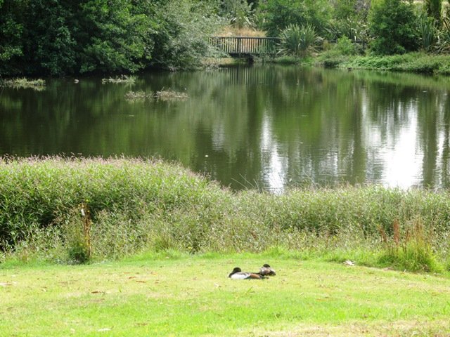
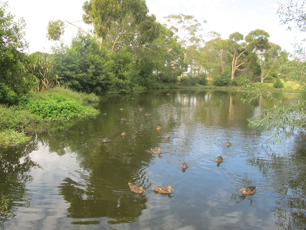
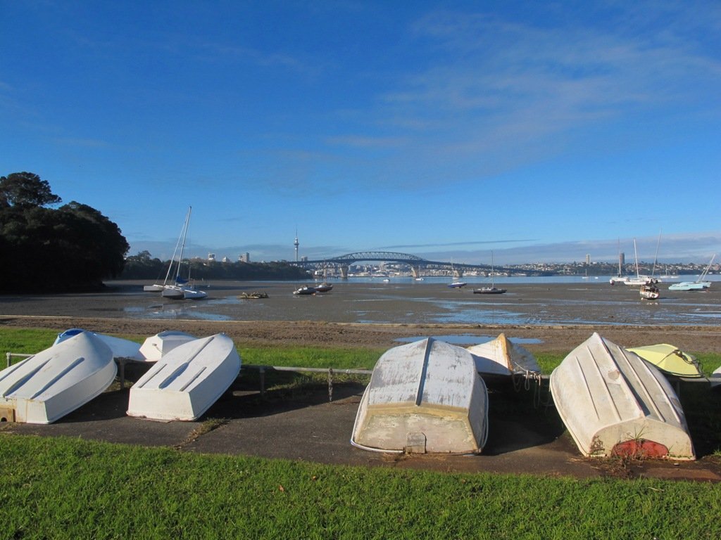
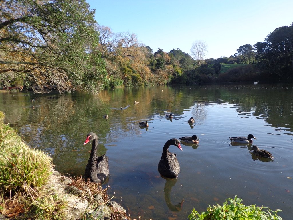
The pink Chelsea Sugar Refinery sits on the edge of Auckland Harbour. From the shore there is a wonderful view across to the Harbour Bridge and City. Swan and ducks greeted us at the dam, expecting to be fed.
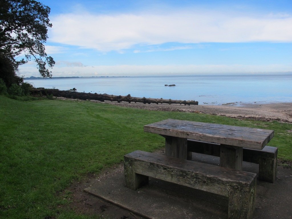
You can walk the beaches, feed the ducks, picnic by the ponds or go exploring around the 45 hectares of bush land at the Chelsea Sugar Refinery.
Our walk takes us from the dam at the Chelsea Sugar Refinery through native bush along the cliff edge to Kauri Point Centennial Park and then inland to Chatswood Reserve.
There are a myriad of walking tracks and some are difficult to find after the recent rain and the dropped leaves from the trees covering the ground. Luckily we had our map, so we did not get lost! There’s plenty of native bush and birdlife to enjoy – the birds were singing loudly today.
Update October 2015: The track from Chelsea Estate Heritage Park to Chelsea Bay/Telephone Road Reserve is currently being repaired and made accessible for pushchairs. Possible locations for a gate to separate the on-leash track from the off-leash grass and beach area are being decided as required by the Local Board after the Dog Access Hearings last year. The track has had broken concrete removed, ruts smoothed out and drainage channels created. It has been resurfaced and compacted to give it the natural-looking surface that is used on DOC tracks. The Chelsea bridge will be completely replaced next year.
Update August 2016 From the Kaipatiki Local Board: The new Chelsea Estate bridge project is now completed and ready to be walked, cycled and enjoyed. The new bridge is 2.7 metres wide and cost $287,000 to consent, design and build. Old piles from the old bridge were recycled at the new Island Bay Playspace and some went to a local resident keen to create a unique element within his new house build project.
Description: Part bush track. Very slippery when wet. Suitable for users of above average fitness and mobility. To see: Chelsea Sugar Refinery, views across Auckland Harbour, native bush, ducks, swan. Time: approx. 60 minutes. (about 5.0 kms) Parking: Chelsea Sugar Refinery car park, bottom of Colonial Road Buses: Mokoia Road, Highbury MAP
***Please note: September 2018 This track has been temporarily closed due to Kauri Dieback
Stay on track…find this walk’s map and directions guide (AN-078 Chelsea Bush Walk) and other walk self-guides at our Walk Store.
Today we set out to explore another part of the Pakuranga Rotary Walkway, this time taking a loop behind Saint Kentigern College and through Manor Park.
This mainly flat 4km walk would suit workers at Pakuranga Plaza as well as residents. Views of Mount Wellington and water craft. Great for cyclists (cycle the full length of the walkway to Pigeon Mountain) and dog walkers (on leash – please refer to comments below), andfor prams/buggies .
The day was calm and the skies blue – perfect for a walk!
Description: Mainly level paths. Suitable for users of average fitness and mobility. To see: Views of Mount Wellington, water craft, residential homes Time: approx. 45 minutes. (about 4.0 kms) Start: Pakuranga Plaza MAP
This Auckland walk takes you from Kingsland Train Station (with views of Mt Albert), touches the city end of Dominion Road, Eden Quarter, and through the suburban streets of Mt Eden, to Mt Eden Village and return.
You can enjoy the tree lined footpaths and beautiful old homes. And this walk makes it very apparent that Eden Park is really in Kingsland.
You can choose to take your time and stop at various shopping precints along the route or do the 90 minute walk in one gulp!
Description: Mainly level paths and steps. Suitable for users of average fitness and mobility. To see: Kingsland, Dominion Road, Mt Eden Shops; residential homes Time: approx. 90 minutes. (about 7.0 kms). Dogs on-leash. One small children’s playground. Start: Kingsland Train Station MAP
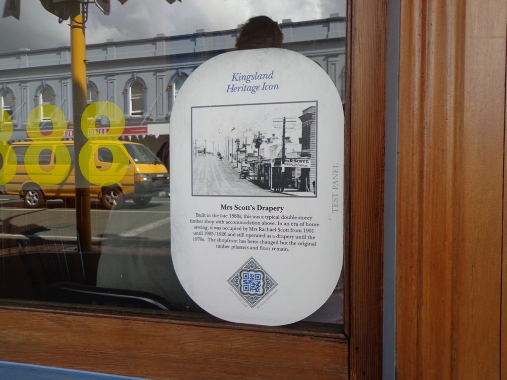
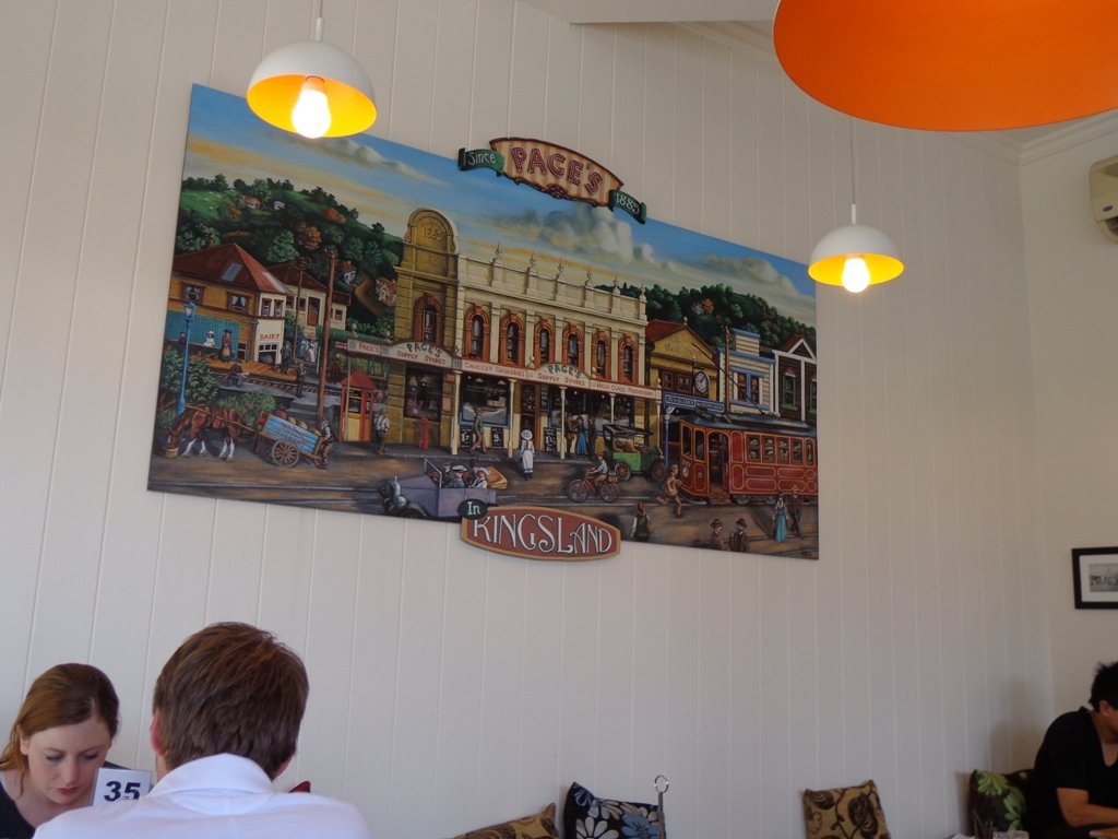
Today we explored a walk that we have driven past many times on the North Western Motorway. This short walk in central Auckland starts off at Kingsland Railway Station, and explores the shops, residential streets, reserve and park in the local area (and like all of our circular Auckland walks – you may choose to start from other places along the route).
Kingsland is full of character with interesting olde worlde shops, cafes, bars and pubs which were a great feature for the 2011 Rugby Word Cup. Sitting in the cafe, you could imagine that you had gone back in time. Our retail discovery was a Made in New Zealand shop called Mixt Art & Design which has some very unique products.
Description: A mix of level and steep paths. Suitable for users of average fitness and mobility. To see: Kingsland Shops, cottage style homes, bush track Time: approx. 60 minutes. (about 5.0 kms) Parking: Off new North Road Start: Kingsland Railway Station MAP
Stage Four of the University of Aucklandshort walks project, with five walking circuits starting and ending from the Tamaki campus in Morrin Road.
If you would like free copies of these PDF brochures, please leave your request in the comment box below.
Stay on track…get other detailed guides with maps from our Walks Store
Point England Loop
This walk takes you through Glen Innes and Maybury Reserve (and its rows of feijoa trees) to the edge of Point England Reserve returning through a character-filled Glen Innes residential street.
Time: approx. 40 minutes. (about 3.75 kms)
Stonefields Loop
This walk winds through Stonefields to Maungarei Springs Wetlands.
Time: approx. 40 minutes. (about 3.6 kms)
Apirana Reserve Loop
This walk takes you off the suburban streets into the countryside and horse paddocks, with views from the top of the hill of Eastern Beach and the Coromandel on a clear day, and Mount Wellington close by.
Time: approx. 45 minutes. (about 4.2 kms)
Eastview Reserve Loop
Refresh and revive amongst the trees in Taniwha and Eastview (mature oak trees) Reserves.
Time: approx. 45 minutes. (about 4.0 kms)
The Goldsbury Track Loops
Take in a Reserve before winding through Stonefields to the Gollan Road Pedestrian Trail. Snatch views of Mt Wellington, Mt Eden, Mt St John, Mt Hobson, One Tree Hill and the top of the Sky Tower.
Time: approx. 45 minutes. (about 4.19 kms)
We are not familiar with the Tamaki and Glen Innes area, so today was our first walk and explore. And we discovered beautiful Point England Reserve. What a gem! We had no idea that there was a sandy beach here.
This walk offers great views of East Auckland and the Waitemata harbour and as the walkway passes through bush, mangroves and farmland. This route is a part of the 7.5km Point to Point Walkway.
The walking route is also great for prams/buggies and dog walkers (on leash only).
The lack of rainfall has made the Omaru River smelly, so we do hope that will improve when it next rains. Part of the path is in great need of maintenance. We wonder if the local schools could adopt part of the walkway and learn how to maintain and enhance the bush and stream??? (The Omaru River is an outlet of Orakei Basin and runs underneath Meadowbank to Apirana Ave, through Maybury Reserve and out to Wai O Taiki Bay). Update: a project was kicked off in June 2013. Read: Youth keen to save river
Description: Mostly level paths. Suitable for users of average fitness and mobility. (Take bread to feed the ducks) To see: Estuary views, boats, wetlands, mangroves, residential housing, view of two volcanoes – Mt Wellington and One Tree Hill, Point England Reserve, Maybury Reserve feijoa trees Time approx. 80 minutes. (about 7.0 kms) Start: Glen Innes Train Station (or Point England Road Reserve at end of Point England Road) MAP Nearby Walks: Tahuna Torea, Waiaturua Reserve
Stay on track…get your detailed guide and map over at our Walks Store (AE-059 Point England Walk) and our Book Store (one of 12 walks featured in our books “Coastal part 2” and “Best of the East”).
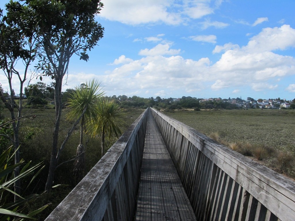
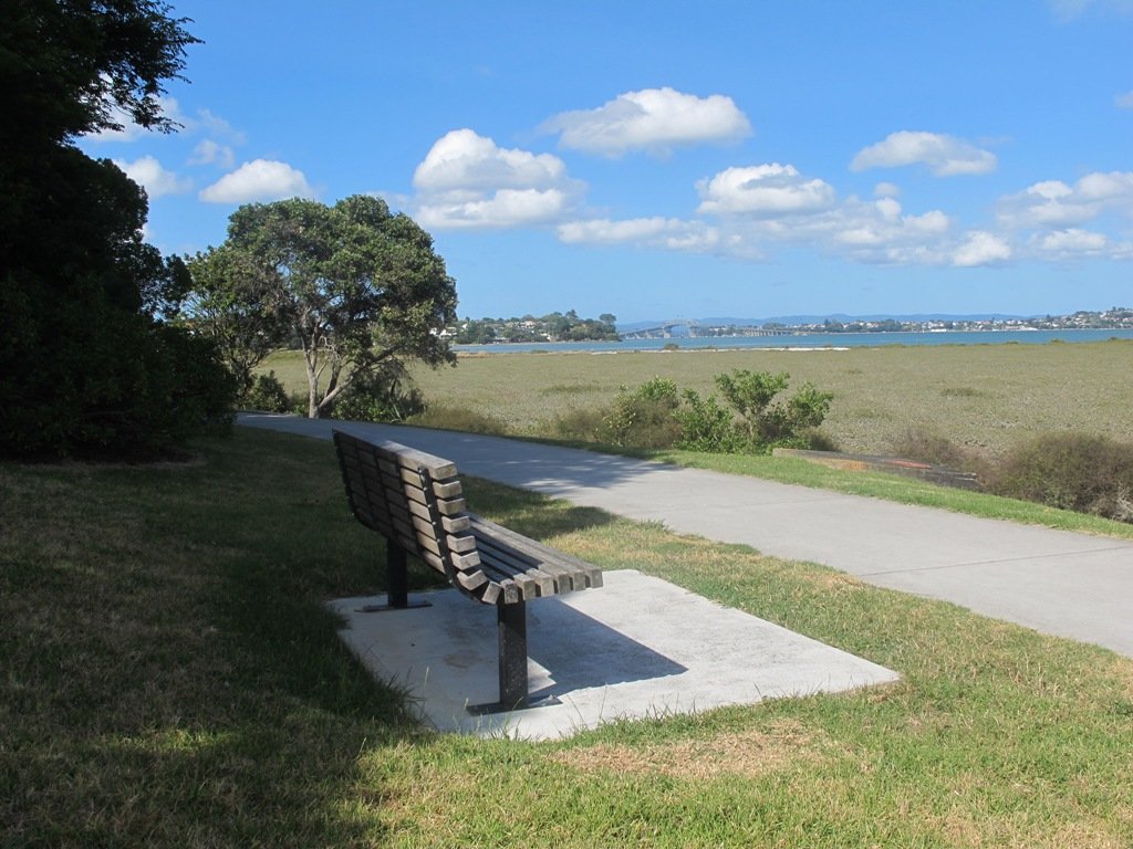
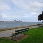
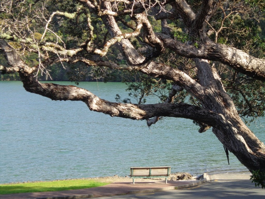
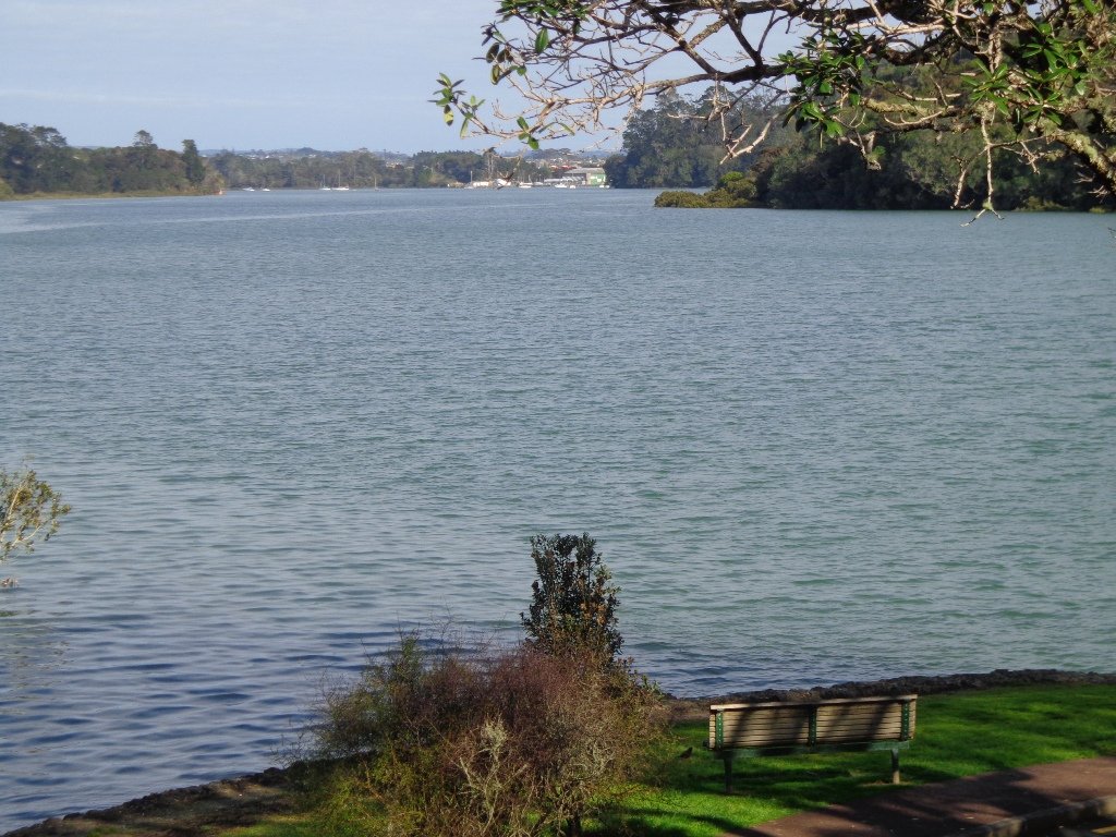
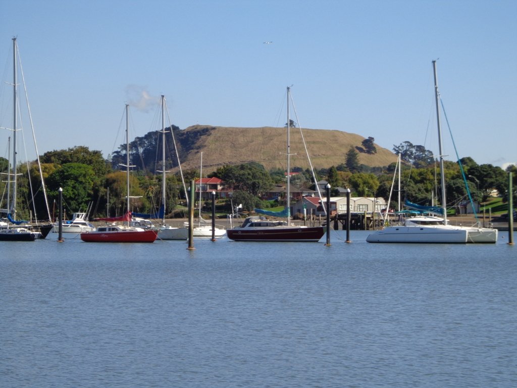
This Belmont Bay walk on Auckland’s North Shore, was chosen by my friend after she read an inspiring article about the founder of the Belmont cafe “Little & Friday“.
View of Auckland Harbour Bridge from Belmont
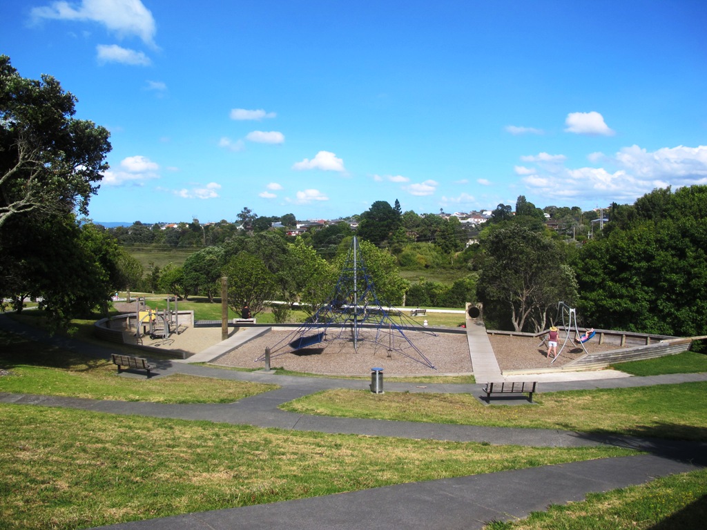
This was my first explore around the Belmont and Bayswater area and was delighted to find reserves, cycleways, playgrounds and views of the Harbour Bridge with the Waitakere Ranges as a back drop.
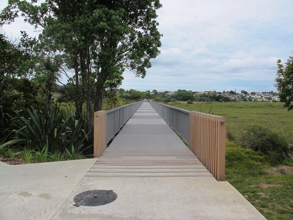
The walk itself takes under an hour, and is mostly flat. One of the highlights is crossing the Bayswater Bridge (the new cycle/pedestrian bridge completed September 2013 – officially opened 5th October 2013, made with recycled totara timber balustrades).
Dogs – On-leash but lots of opens spaces.
Description: A mix of level paths and slightly inclined paths. Suitable for users of average fitness and mobility. To see: Estuary views, wetlands, residential housing, Auckland Harbour Bridge
Stay on track…get your detailed guide and map (AN-058 Belmont Bay Walk) over at our Walks Store and our Book Store (one of 12 walks featured in our books “Coastal part 2” and “Dog Friendly part 1”).
Self guided short circular walks in Auckland for health, fitness and fun

 Devonport to North Head. Take your torch for the tunnels and your camera to capture the views across the Gulf!
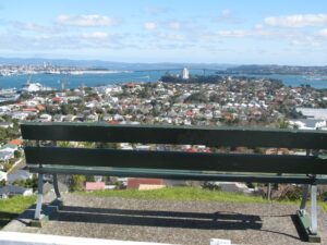


 Point England Loop
 Stonefields Loop
 Apirana Reserve Loop
 Eastview Reserve Loop
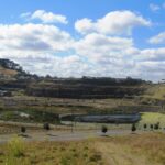 The Goldsbury Track Loops