Tag Archives: Torea

Half Moon Bay West

Half Moon Bay. Copyright 2013 Unleashed Ventures Limited

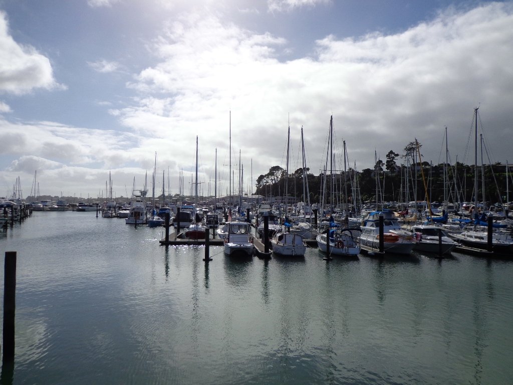
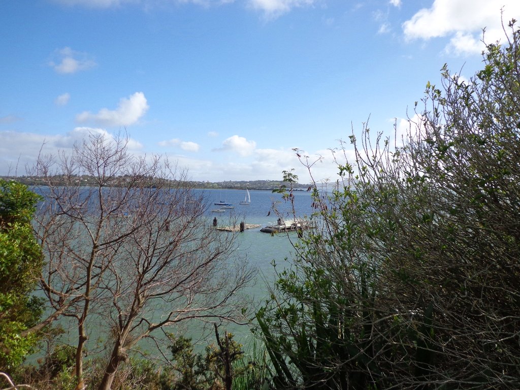
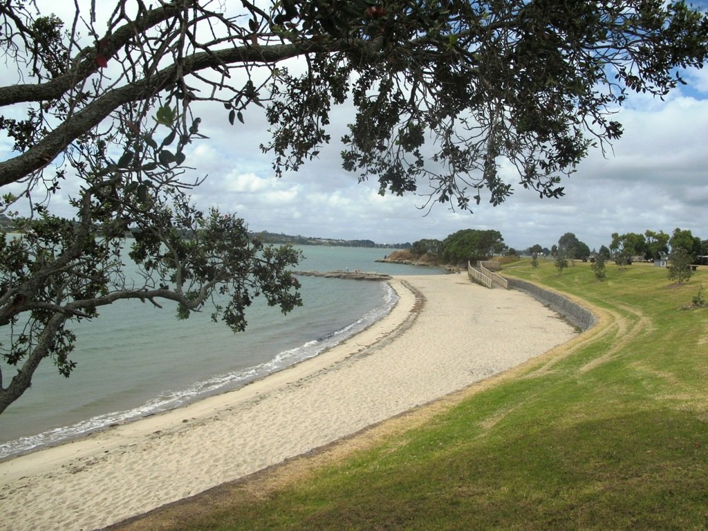
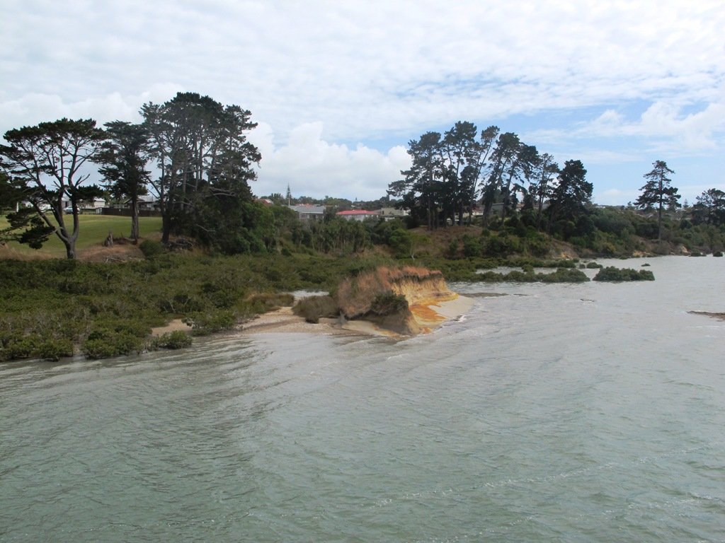
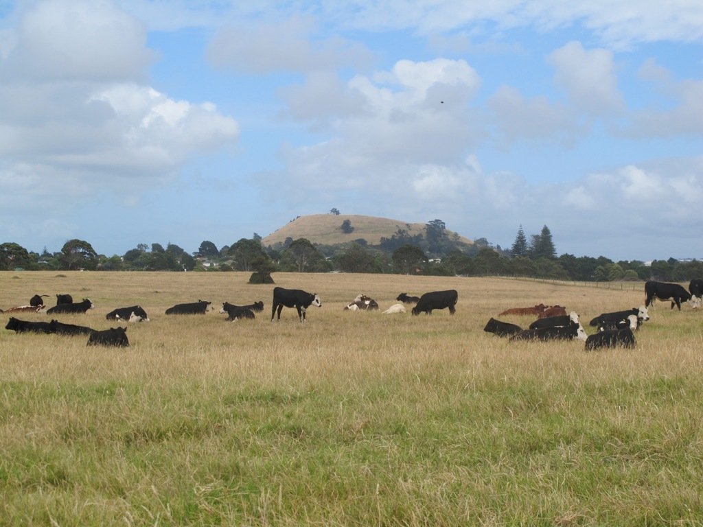
Half Moon Bay was bathed in sunshine this morning – very welcome after a week of rain.  The walk west follows the cliff tops with fantastic views of Point England Reserve, Tahuna Torea, Rangitoto and Mount Wellington.

It’s been a while since we had visited Half Moon Bay; the last time there was a lot of building work going on.

We were prompted by Brett to return – this is his suggestion “A great one to commute to by ferry, go for a walk & check out the cafes, restaurants & bar at Half Moon Bay Marina, even a supermarket now at the marina. Best kept secret, free push bikes available from Grangers Restaurant & Bar!” Thanks for the tip, Brett!

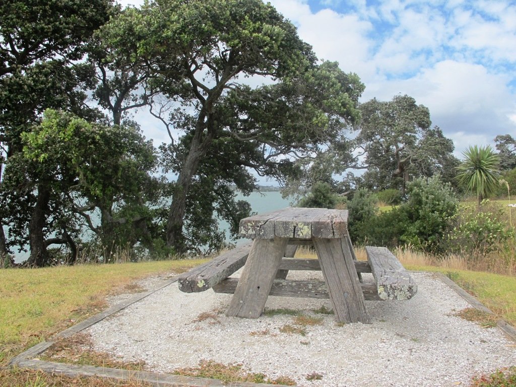
Description: Mainly level paths, some steps and steep slopes. Suitable for users of average fitness and mobility.
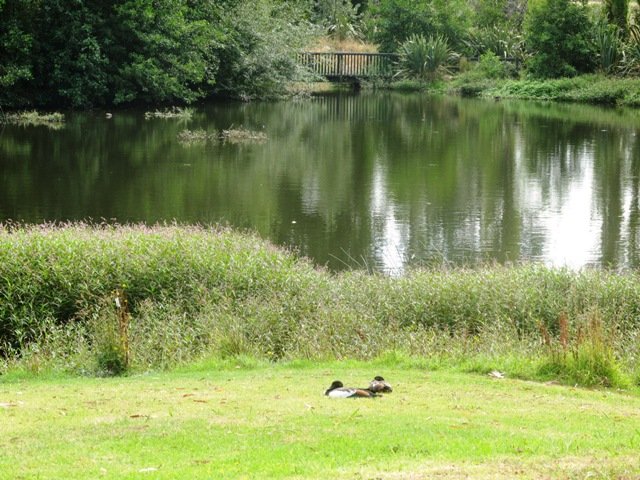
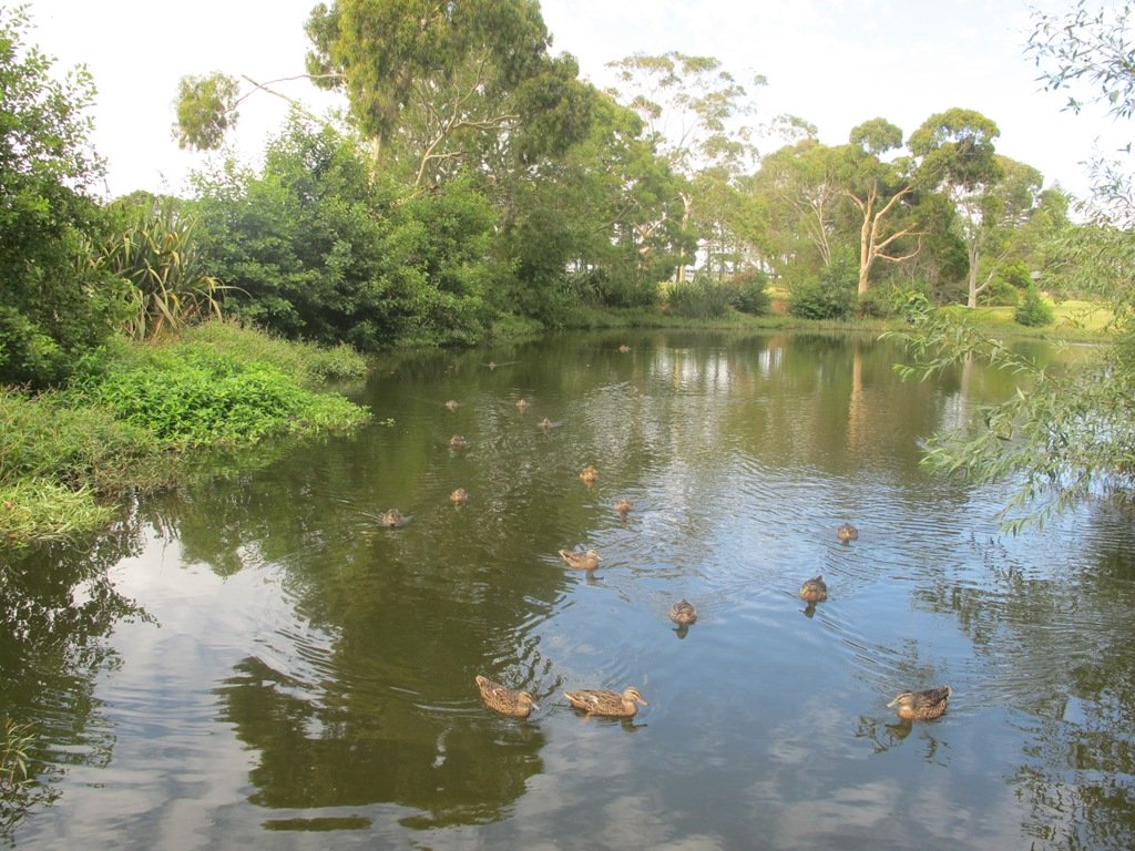
To see:Views of Tamaki Estuary, Point England Reserve, Tahuna Torea, Rangitoto, Mt Wellington.  Wetlands, Pukeko birds habitat.
Time:approx. 60 minutes. (about 4.7 kms)
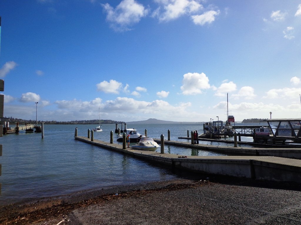
Start from: Half Moon Bay Marina off Ara-Tai Road MAP

Stay on track…find this walk’s map and directions guide (AE-070 Half Moon Bay west) and other walk self-guides at our Walk Store

Check it out: the Half Moon Bay ferry service

Point England Walk

Point England Reserve

We are not familiar with the Tamaki and Glen Innes area, so today was our first walk and explore. And we discovered beautiful Point England Reserve.  What a gem! We had no idea that there was a sandy beach here.

This walk offers great views of East Auckland and the Waitemata harbour and as the walkway passes through bush, mangroves and farmland. This route is a part of the 7.5km  Point to Point Walkway.

The walking route is also great for prams/buggies and dog walkers (on leash only).

The lack of rainfall has made the Omaru River smelly, so we do hope that will improve when it next rains.  Part of the path is in great need of maintenance.  We wonder if the local schools could adopt part of the walkway and learn how to maintain and enhance the bush and stream??? (The Omaru River is an outlet of Orakei Basin and runs underneath Meadowbank to Apirana Ave, through Maybury Reserve and out to Wai O Taiki Bay).
Update: a project was kicked off in June 2013. Read: Youth keen to save river

Description: Mostly level paths. Suitable for users of average fitness and mobility. (Take bread to feed the ducks)
To see: Estuary views, boats, wetlands, mangroves, residential housing, view of two volcanoes – Mt Wellington and One Tree Hill, Point England Reserve, Maybury Reserve feijoa trees
Time approx. 80 minutes. (about 7.0 kms)
Start: Glen Innes Train Station (or Point England Road Reserve at end of Point England Road)  MAP
Nearby Walks: Tahuna Torea, Waiaturua Reserve

Stay on track…get your detailed guide and map over at our Walks Store  (AE-059 Point England Walk) and our Book Store (one of 12 walks featured in our books “Coastal part 2” and “Best of the East”).