Tag Archives: Coastline

Maraetai and Omana loop walk

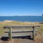
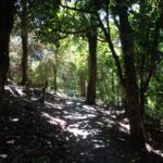
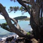
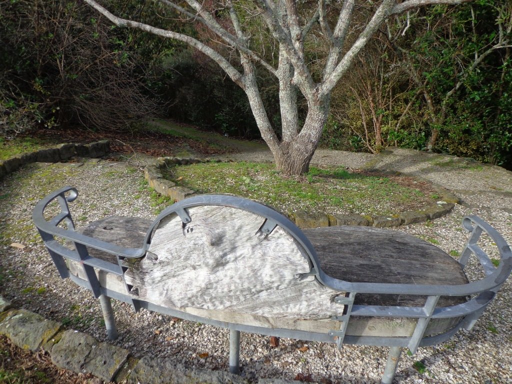
Today was our first walk around the 3 km perimeter of Omana Regional Park near Maraetai (pronounced my-right-eye). The walk itself was pretty uninteresting apart from the view looking back to Auckland City. However, the walk along the coastline from Omana Beach to Maraetai Beach was much more interesting.

Maraetai and Omana loop walk © 2011-2014 Unleashed Ventures Limited All Rights Reserved

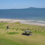
The weather was brilliant and it was fabulous to see so many people out enjoying themselves in and on the beautiful blue clear water, as well as picnicking on the grassy shore in the shade of the pohutukawa trees. The tide was high (actually a “king” tide) which added to the beauty.

The shared pathway/cycleway between Maraetai and  Beachlands is very scenic, and suitable for family cycle rides.

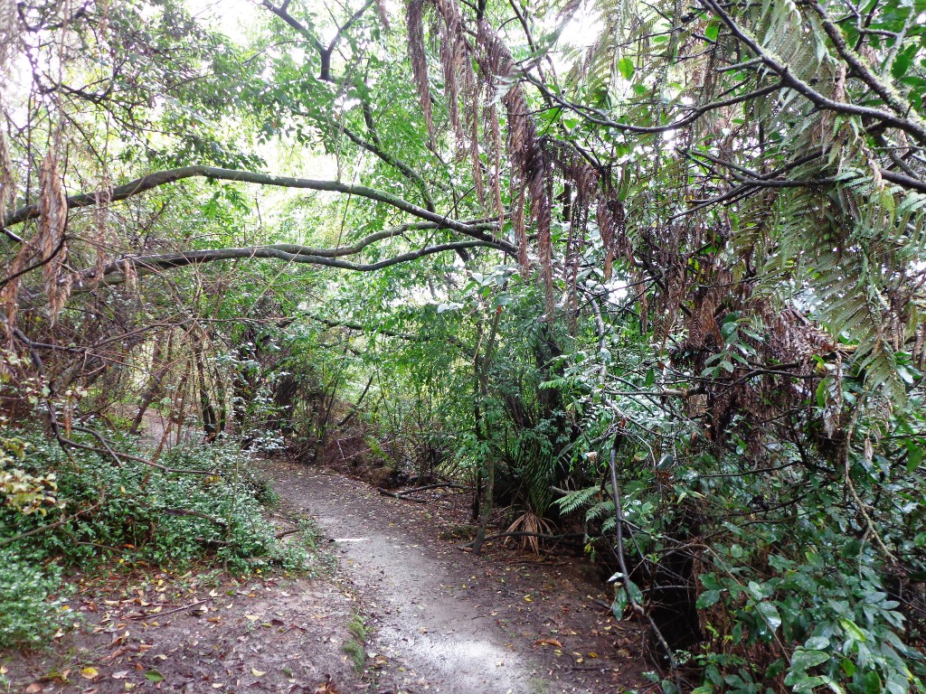
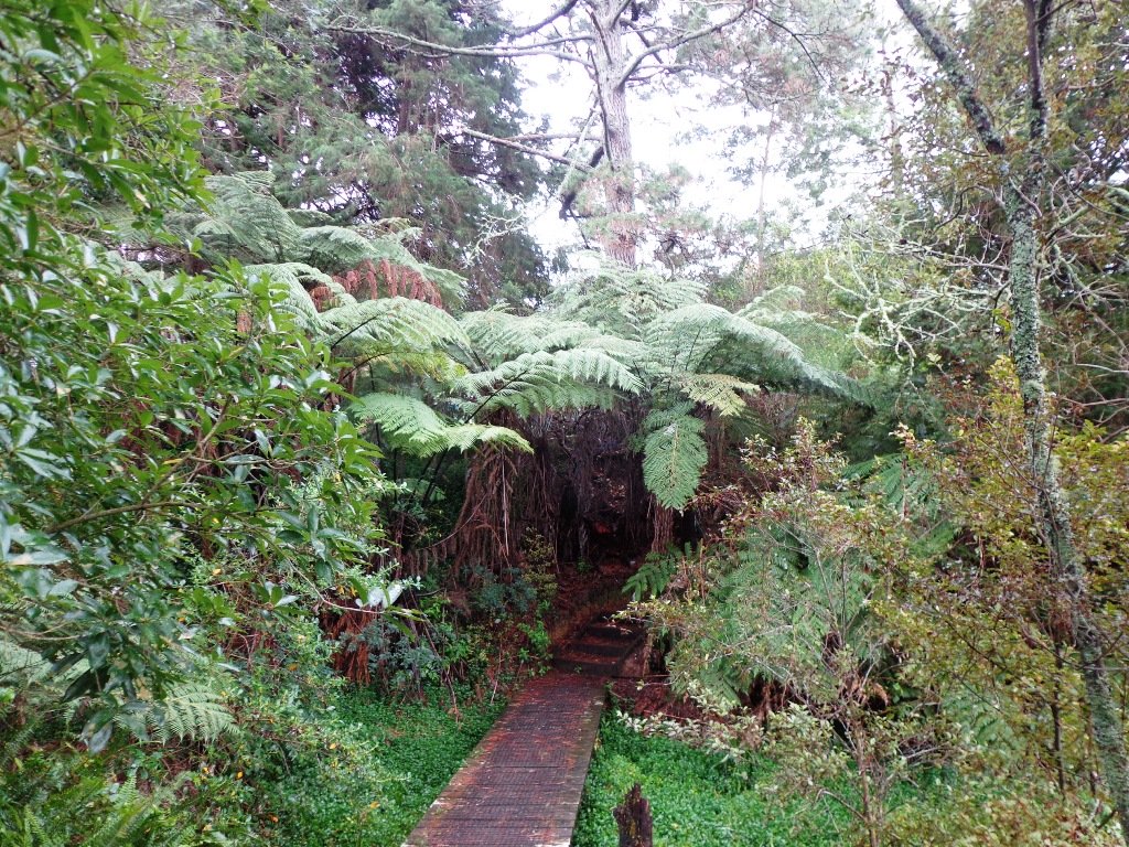
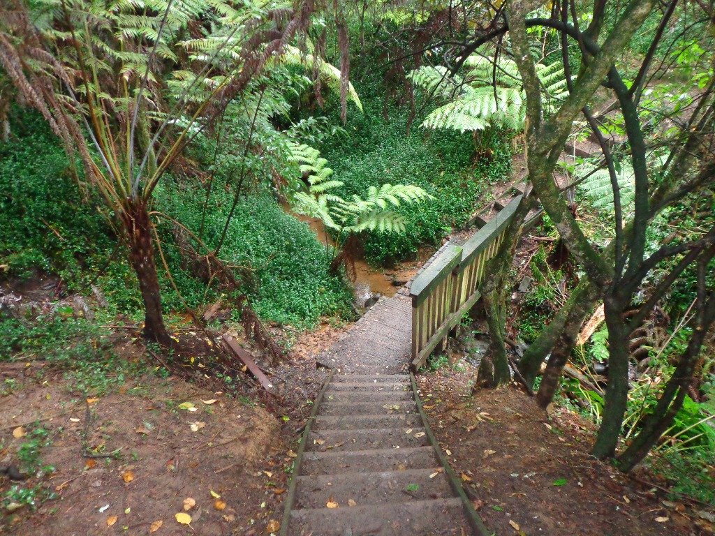
Description: Mostly level paths, with a few short steep bits. Gravel and sealed track/paths.  Sturdy footwear recommended for Omana loop.
Suitable for most ages and levels of fitness and mobility, designed with flat shoes or running shoes in mind.
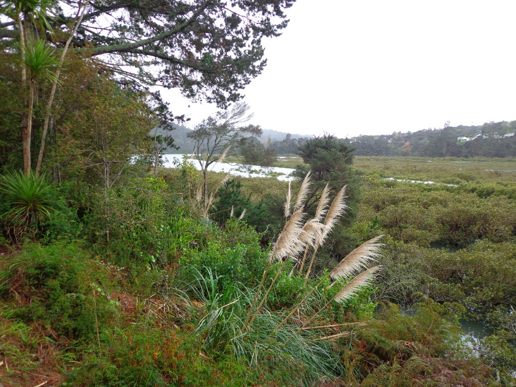
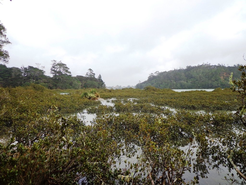
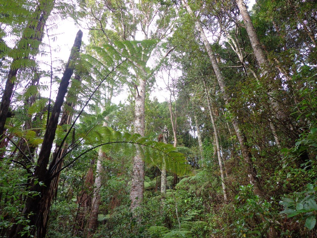
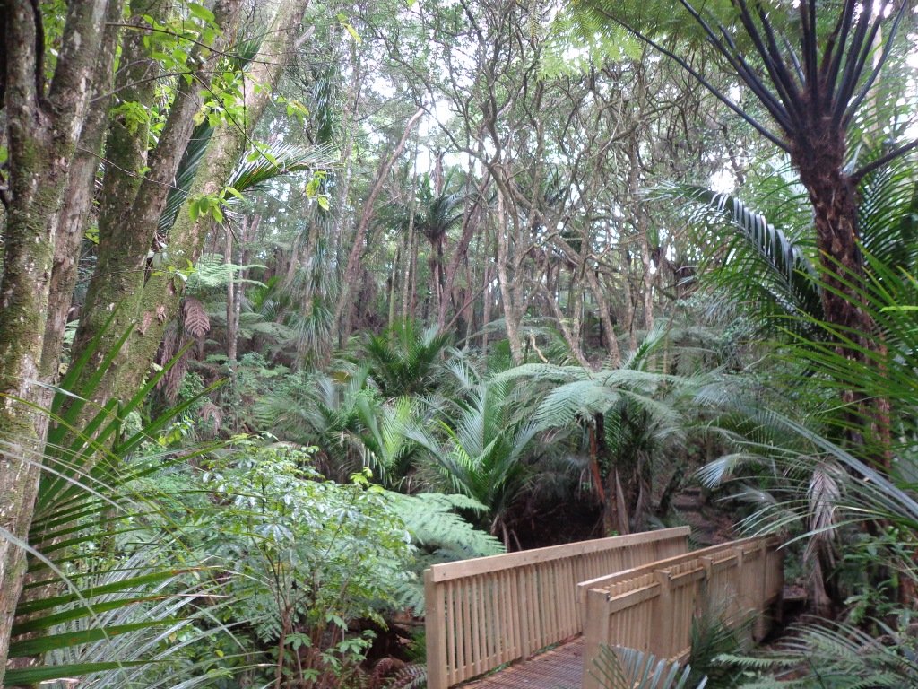
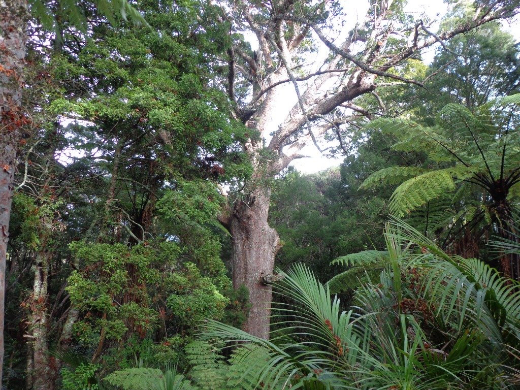
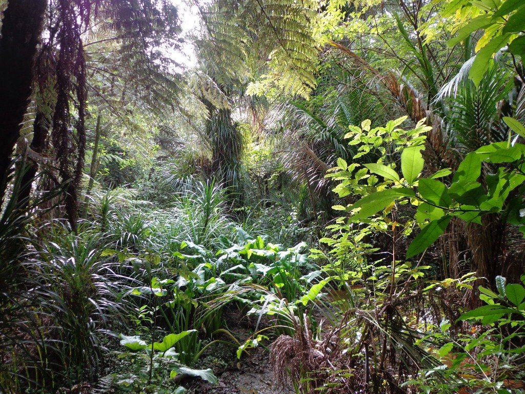
To see: Farmland, bush, coast, boats.
Time: We did the Omana perimeter loop (3kms) and walked to Maraetai return (5kms).
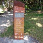
Start:  Either from Maraetai or Omana Beach Road. Map

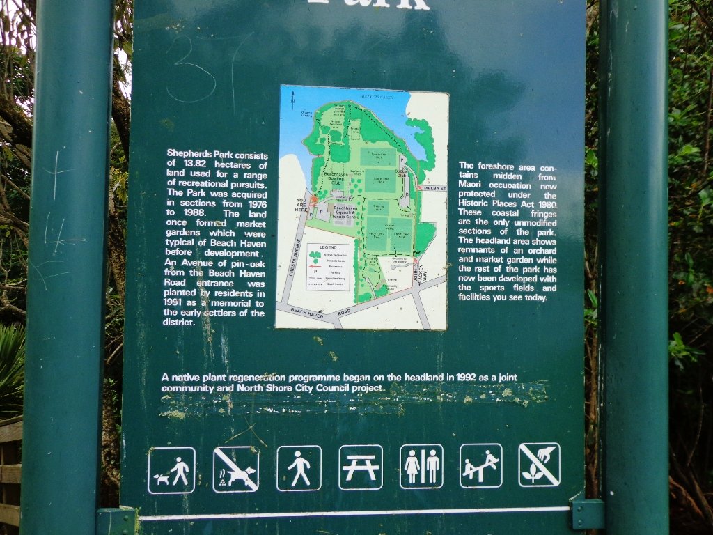
Click here for  Omana Regional Park map.

The combined walks of Maraetai and Omana lived up to our expectations of a diverse walk – farmland, bush, coast, boats and village.
Click on photo to enlarge.

Beach Haven Coastal Walk

The Beach Haven coastal walk on Auckland’s North Shore hugs to the coastline with views to Bayview, Hobsonville Point and the bush that runs alongside the Upper Harbour Highway. The route follows Hellyers Creek, then all the twists and turns of the small mangrove-filled inlets, and through trees filled with birdsong.

Beachaven Coastal walk © 2011-2013 Unleashed Ventures Limited

Today was rainy and windy – the yachts sailing out from Hobsonville Point were making the most of the winds.  But we were sheltered by the trees and small gullies.

This walk begins at the Community Creche entrance to Shepherd’s Park, where there is a children’s playground  a cyclists learning track and a fitness trail, as well as sports fields. The signs indicate that dogs must be kept on-leash (but we did see dogs off leash along coastal walkway).

If you wanted to make this a day outing, you could catch a ferry from Britomart to Beach Haven.  Bring a picnic lunch.

Description: Bush track, steps, inclines. Muddy in places when wet. Suitable for users of average fitness and mobility.
To see: Native bush, views across Auckland Harbour, native birds.
Time: approx. 60 minutes. (about 5.0 kms)
Parking: Beach Haven Community Creche carpark.
Buses: Tramway Road stop on Beach Haven Road.
Ferry: to Beach Haven MAP

Cafe suggestion: CAFE AU BON COIN CAFE PATISSERIE

Stay on track…find this walk’s map and directions guide (AN-084 Beach Haven Coastal Walk) and other walk self-guides at our Walk Store.

Bayview Giant Kauri Walk

***** ATTENTION Kauri Dieback has been identified on Auckland’s North Shore. Auckland Council will look to close tracks soon. As this Kauri tree in Lynn Reserve is the largest Kauri on the North Shore, and of significance to our community, you are asked to not visit this track. When walking near any Kauri, your shoes must be so clean you could ‘kiss’ them. Please protect our Kauri. The best way to help is to not walk near them.
Danielle Grant – Deputy Chair Kaipatiki Local Board ****

Bayview Giant Kauri tree © 2011-2013 Unleashed Ventures Limited

We returned to Bayview on the North Shore to complete a circular walk in a different direction to our previous Bayview Coast and Bush Walk.

Today’s walk starts off in Lynn Reserve, and heads up a bush filled gully with a small stream, to a giant Kauri tree (over 2 metres in diameter and is said to be about 800 years old) among a grove of smaller kauri trees which are growing in Leigh Scenic Reserve.  It is awesome!

The route joins up with the Glenfield Coastal Walkway and heads around to the boat ramp and Manuka Reserve at the bottom of Manuka Road.  Hearing the song of the tui birds as we slowly walked up the incline of Manuka Road gave us great encouragement.

This walk through the bush and along the Upper Harbour coastline is not only beautiful, it provides a great workout if you are into fitness. It is also a fun family walk that includes two children’s playgrounds, plus dog off leash exercise areas.

The new playground at Lynn Reserve looks great, and in the week since we last visited, a children’s ‘learn to cycle track‘ has been installed.

***Please note: September 2018 This track has been temporarily closed due to Kauri Dieback

Description: Bush track, steps, inclines and board walks. Muddy in places when wet. Suitable for users of average fitness and mobility.
To see: Native bush, including Giant Kauri, small waterfalls, views across Auckland Harbour to Hobsonville Point, native birds.
Time: approx. 75 minutes. (about 5.8 kms). Dog off leash areas. Three children’s playgrounds.
Parking: Lynn Road, Bayview near Glenfield.
Buses: 111 Lynn Road, Bayview MAP