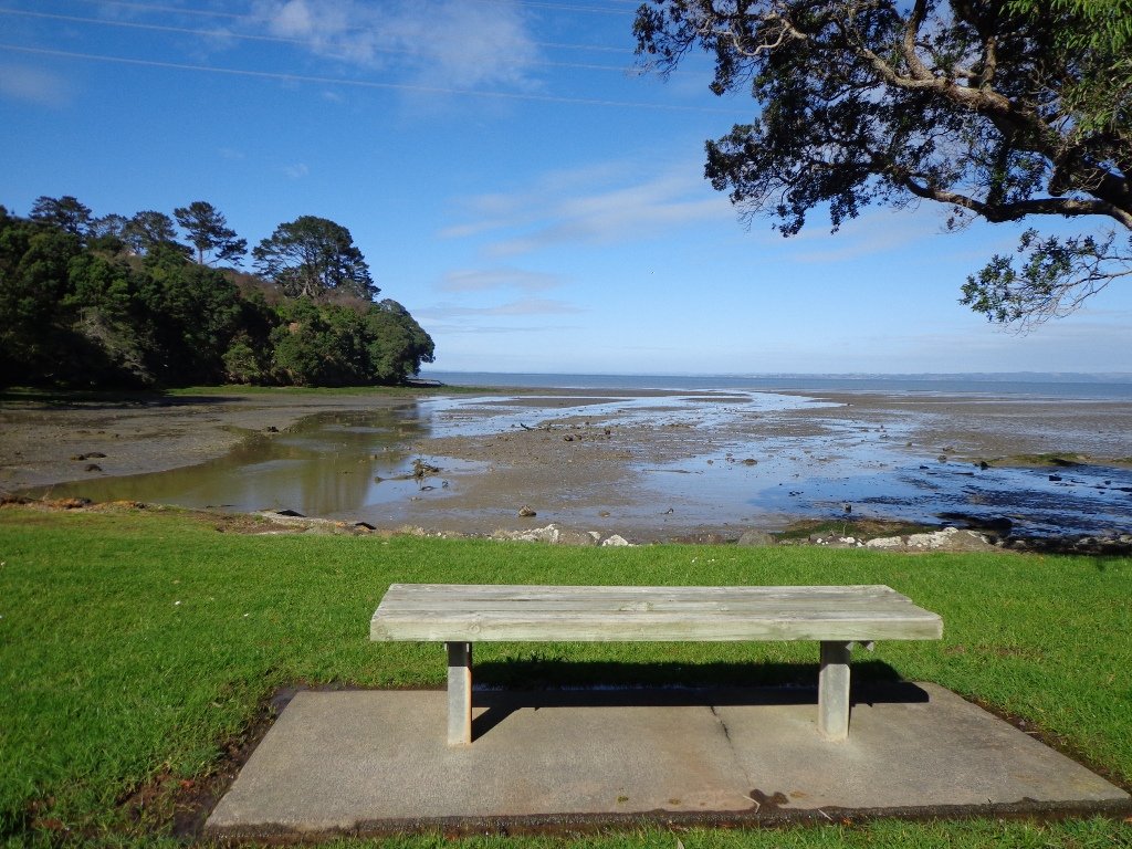
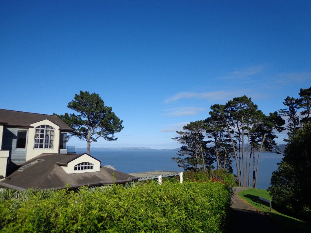
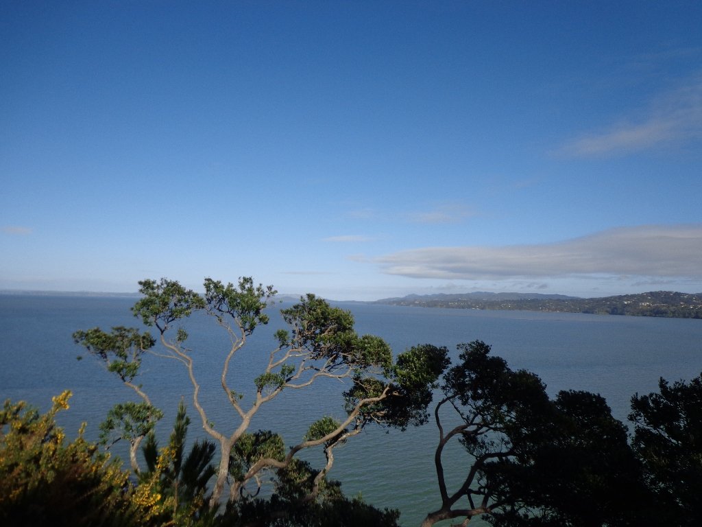
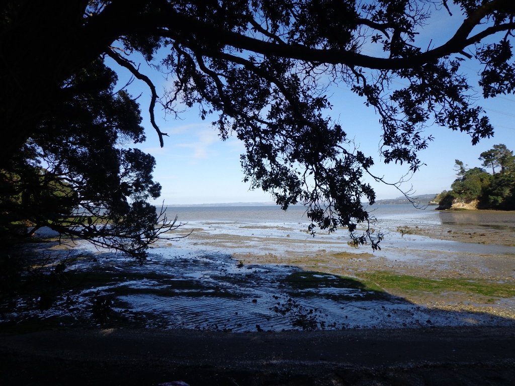
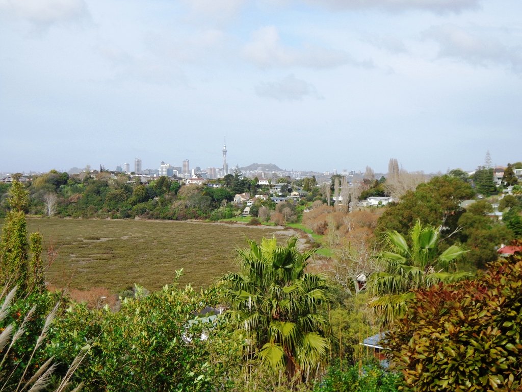
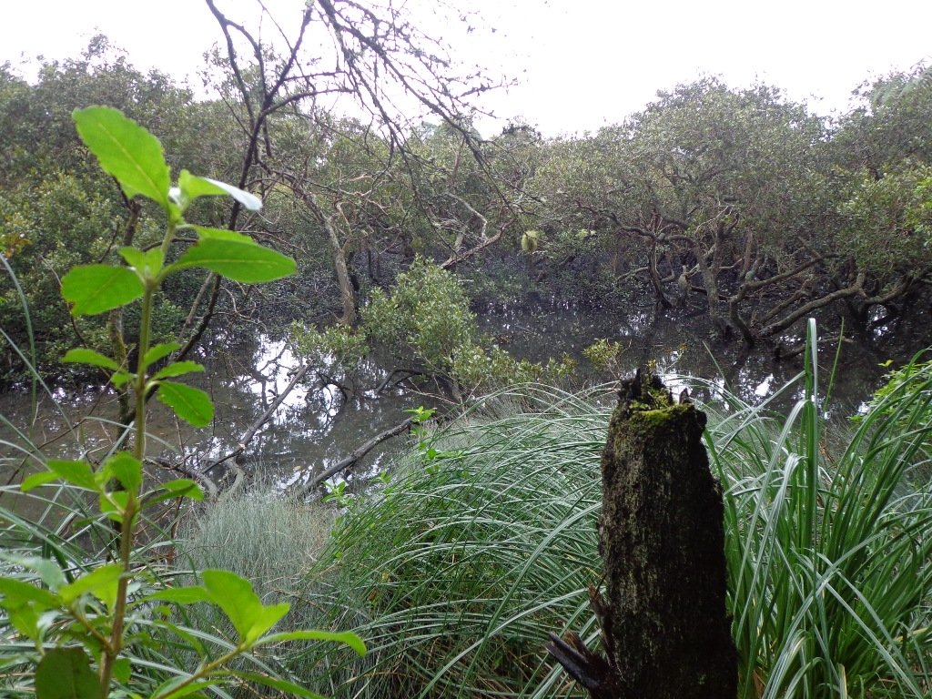
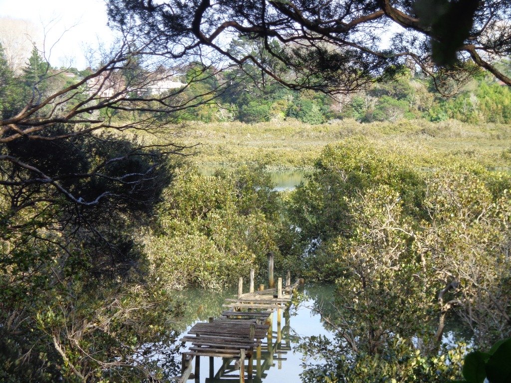
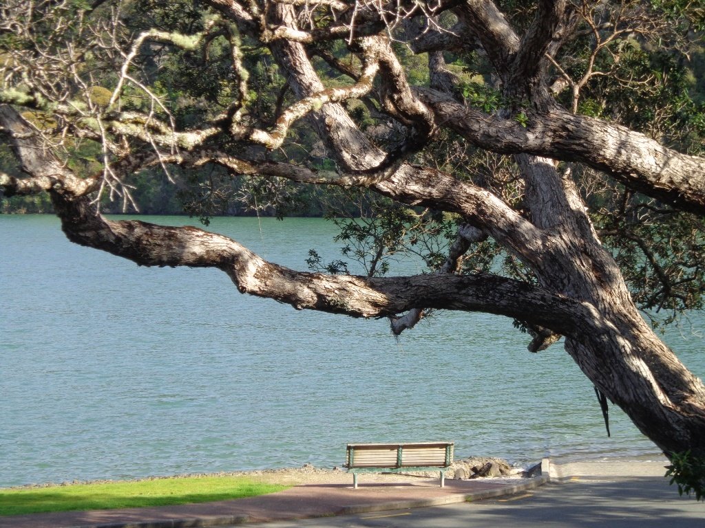
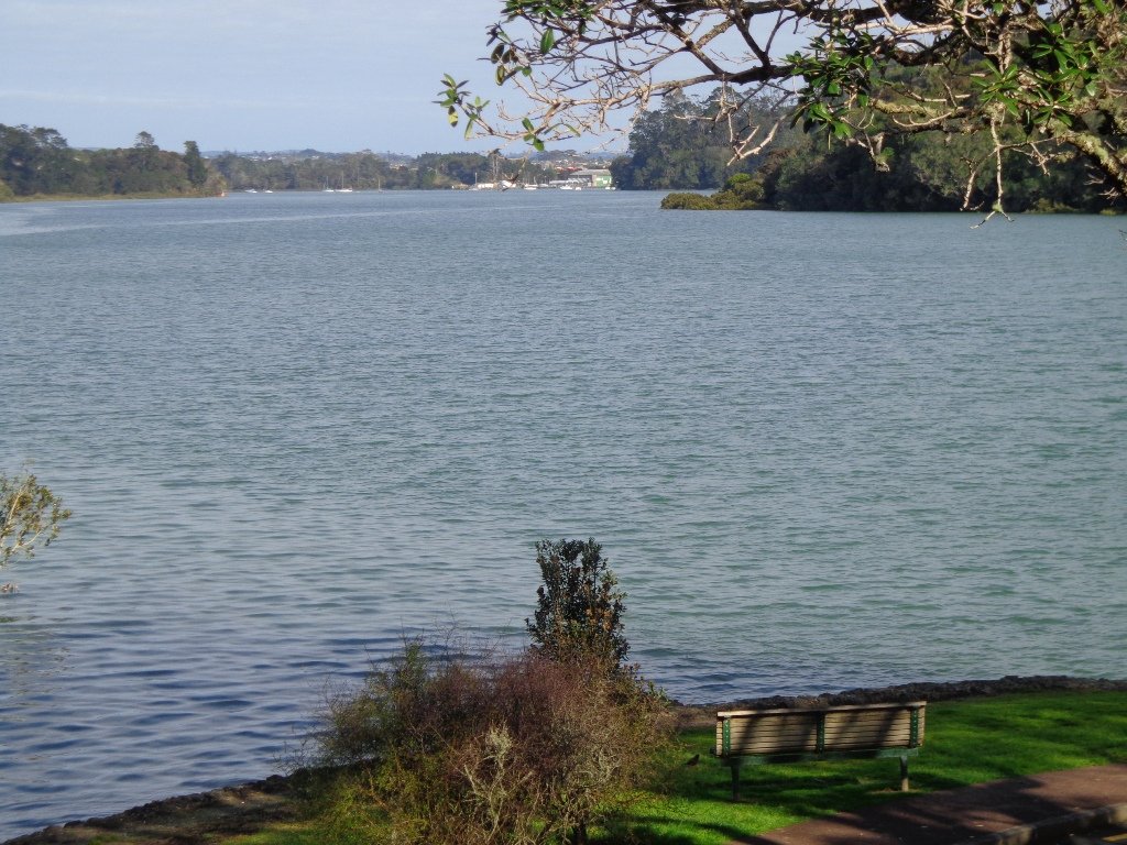
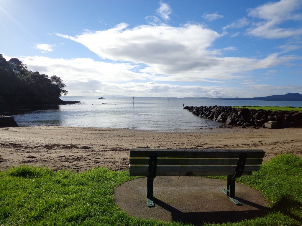
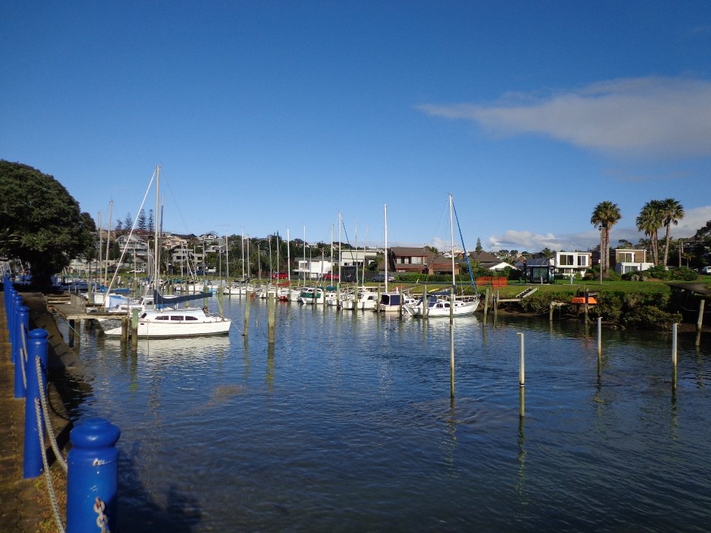
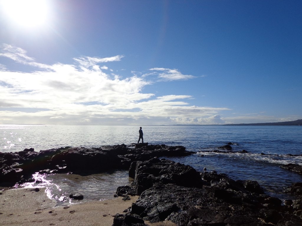
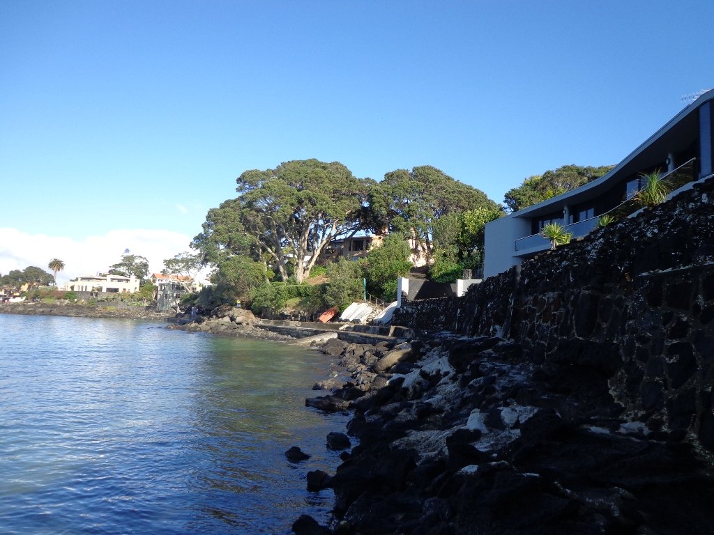
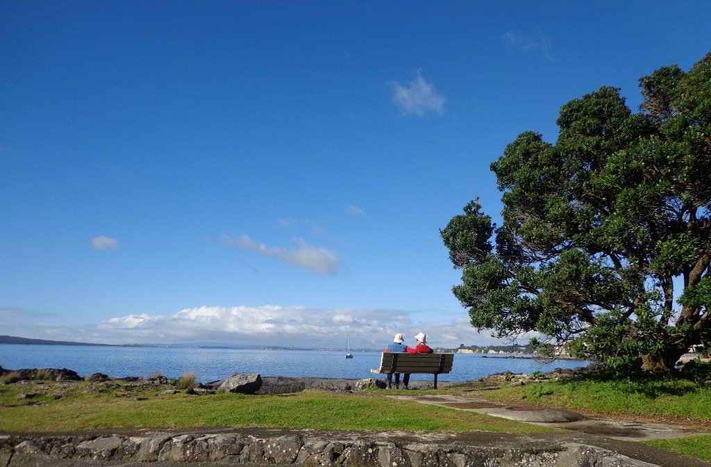
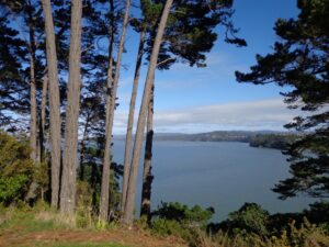
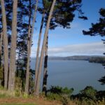
The views across to Blockhouse Bay and Manukau Heads in the far distance along the Lynfield coastal walk this morning, were spectacular! The sun was shining, the sky was clear and the tide (check here for tide times) was almost full.
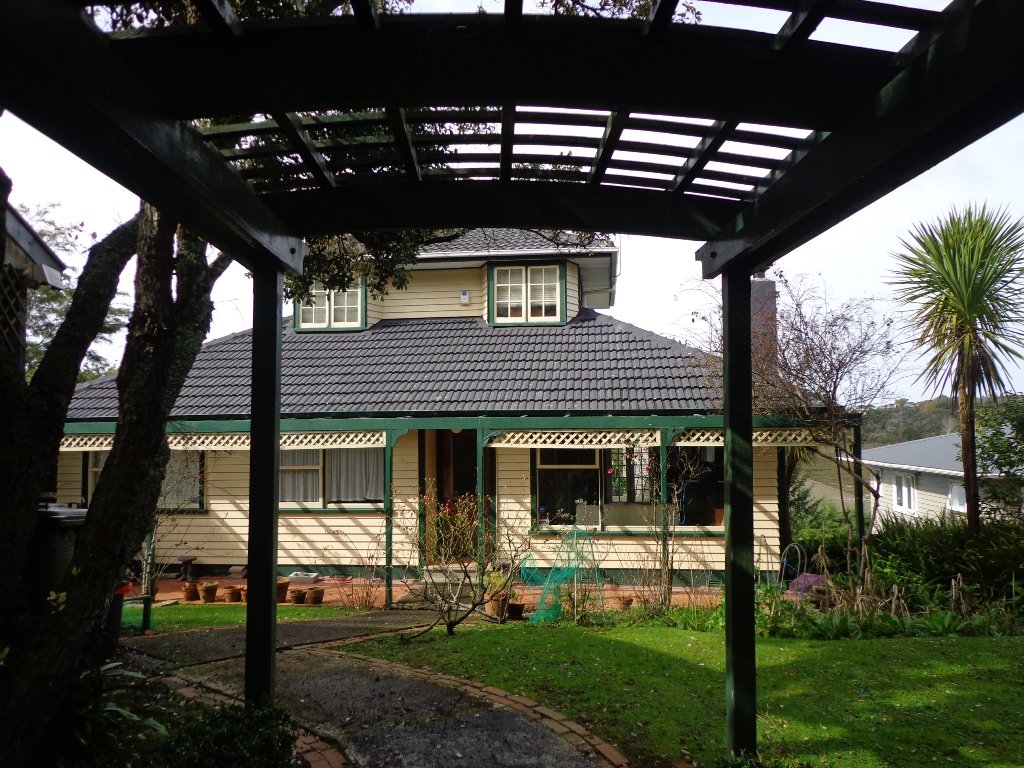
This was an explore walk for us – trying to work out the best circular route without too much street walking. The route has a few steep ups and downs, which makes it a good workout. We met some people who were walking their dog off leash along the reserve.
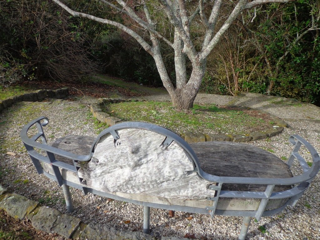
July 2016 Update: The sculpture “Open Stone” by late Japanese sculptor Hiroaki Ueda is now on view in the Manukau Domain, Lynfield.
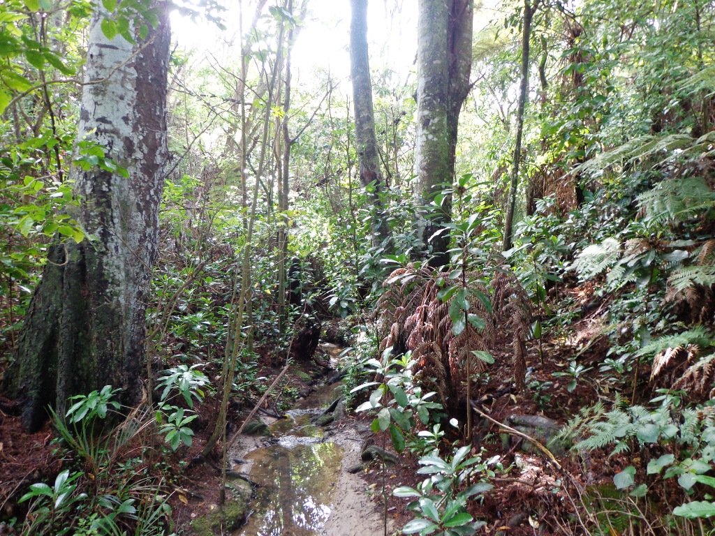
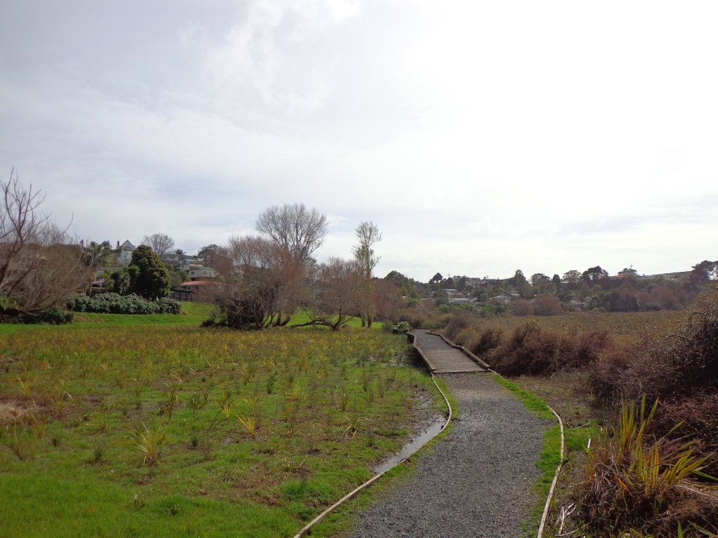
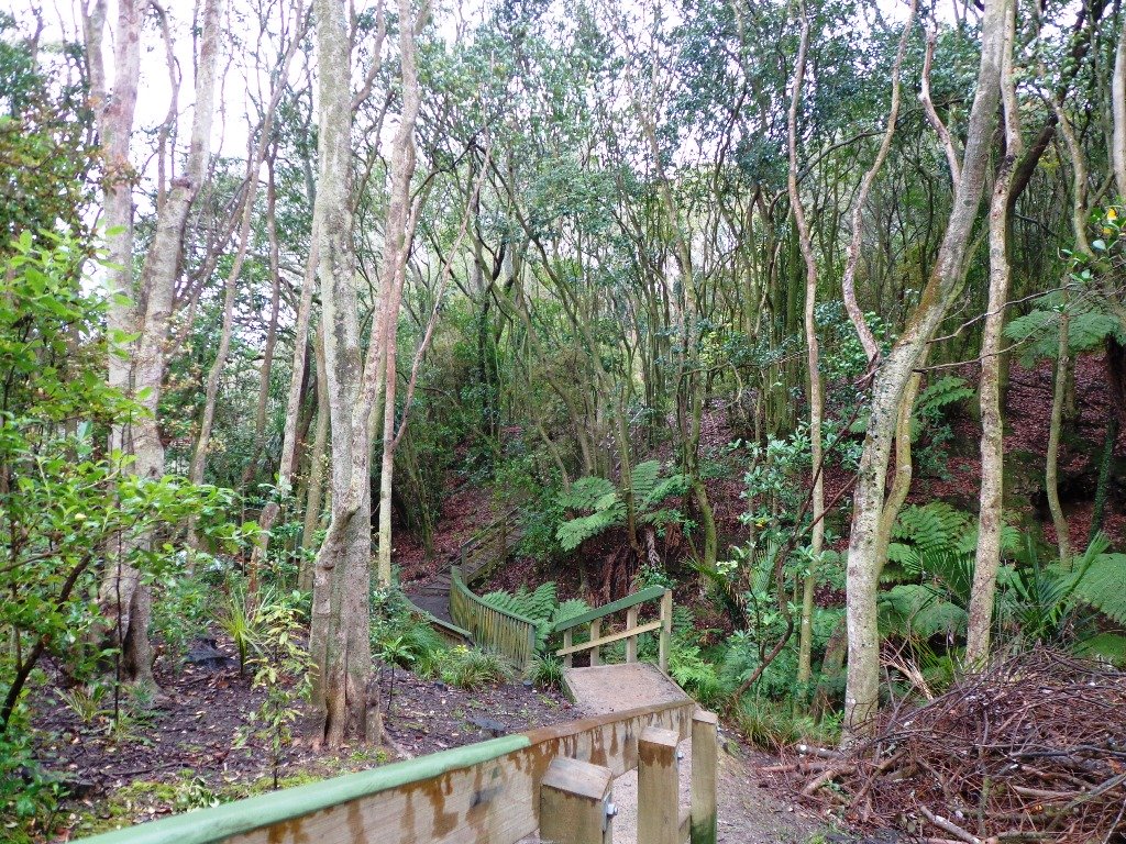
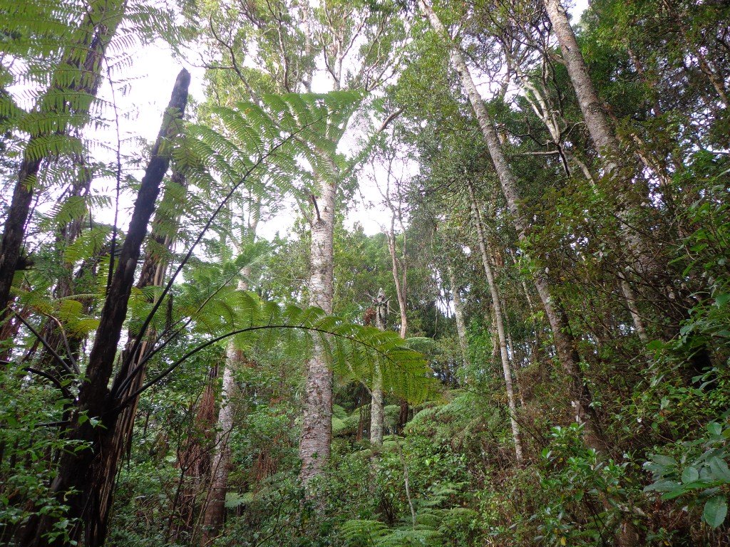
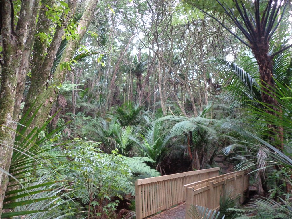
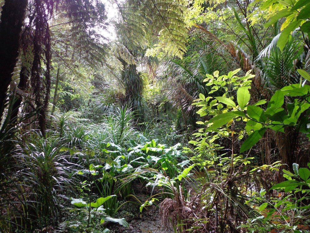
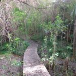
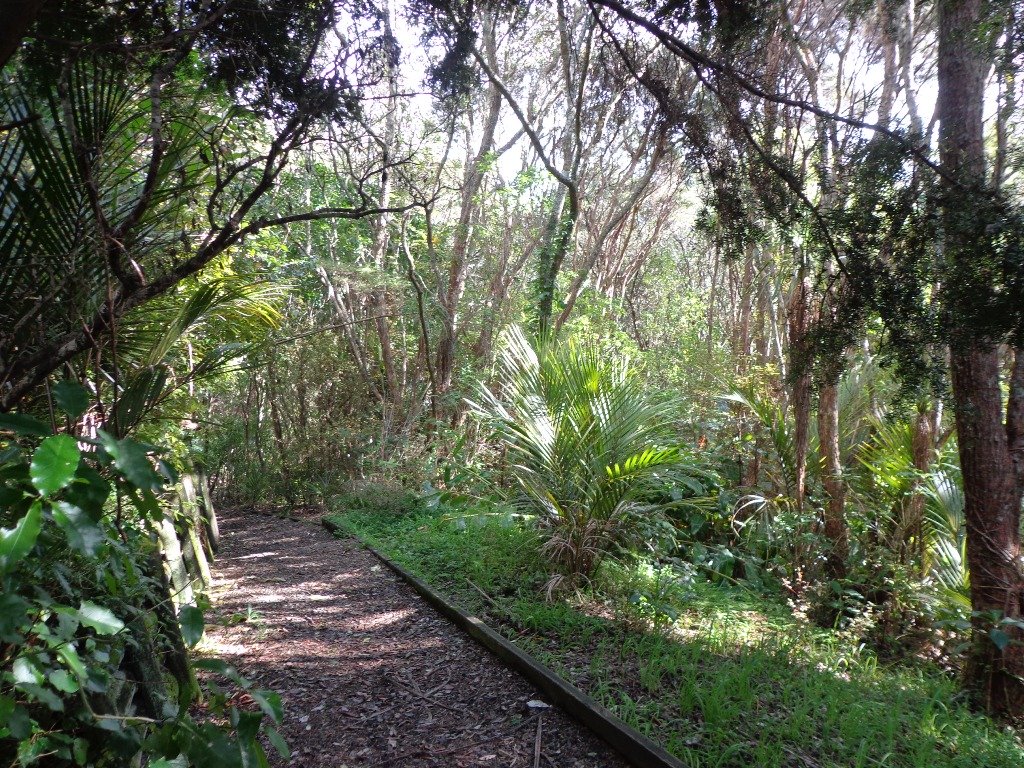
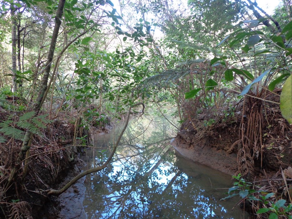
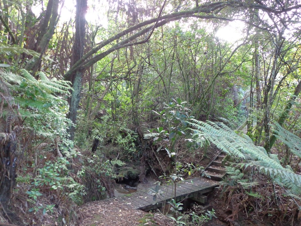
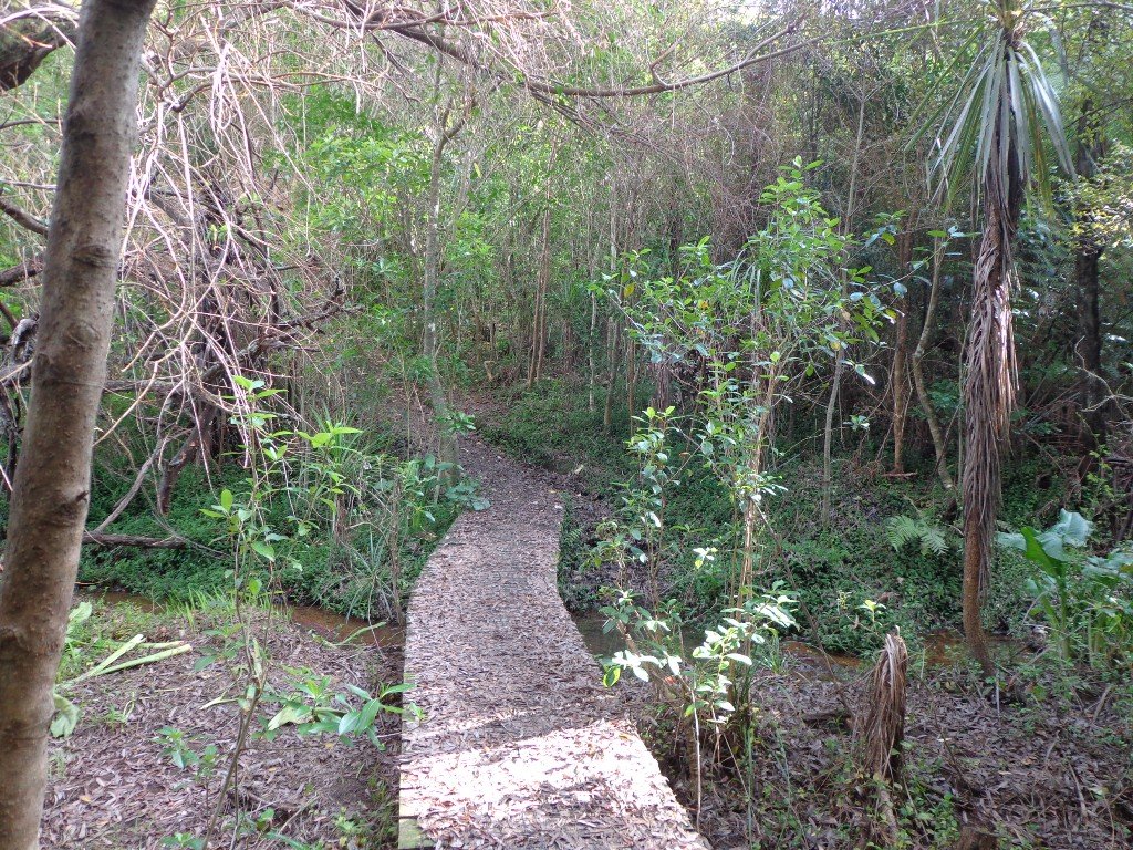
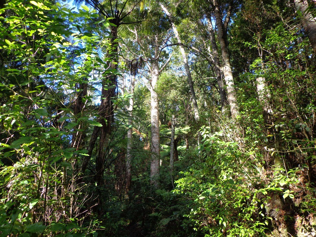
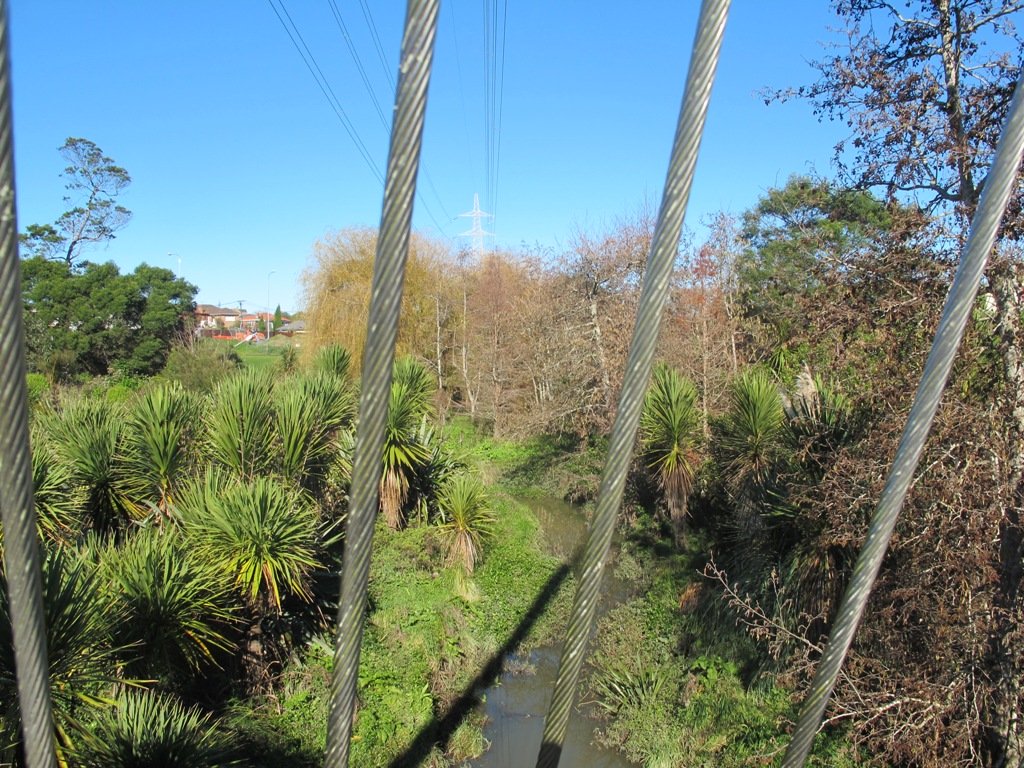
Description: Bush track, steps, inclines. Muddy in places when wet. Suitable for users of average fitness and mobility.
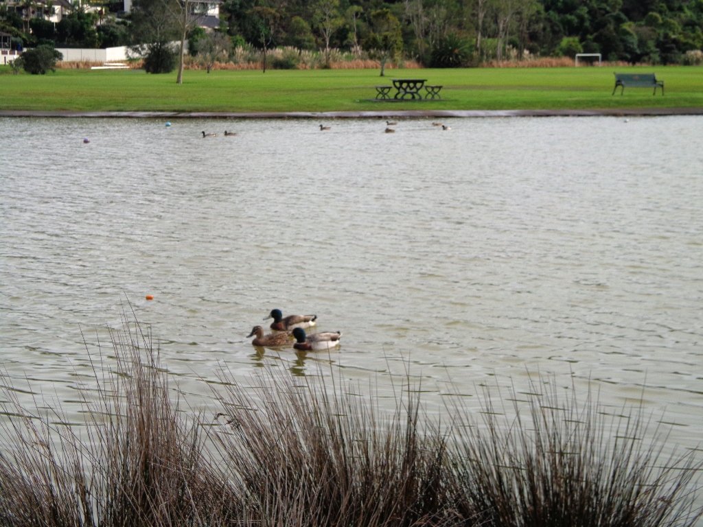
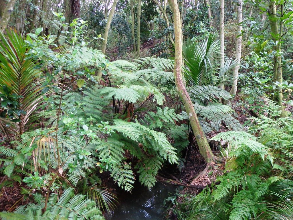
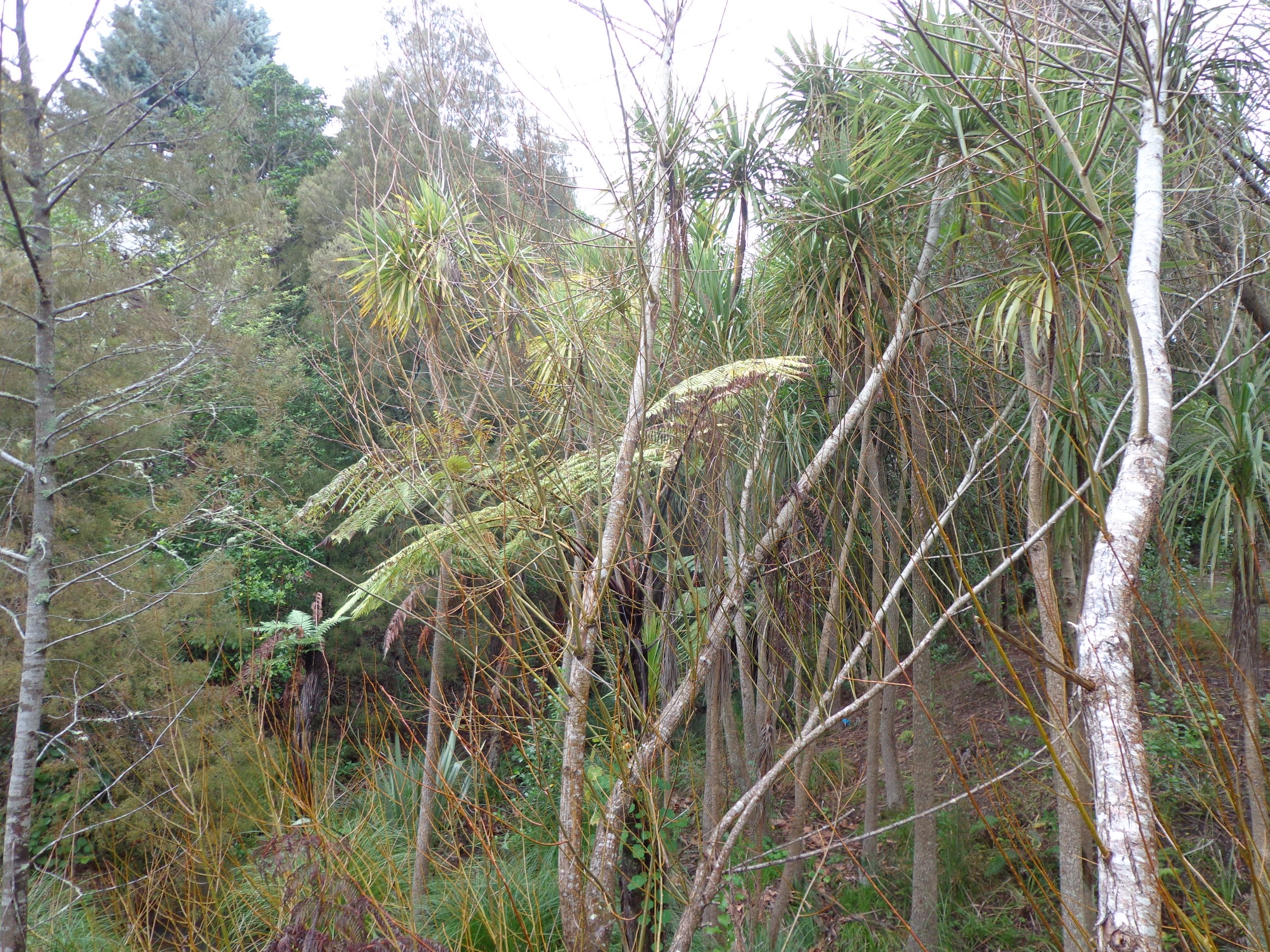
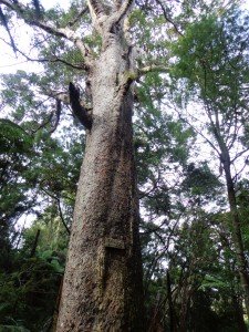
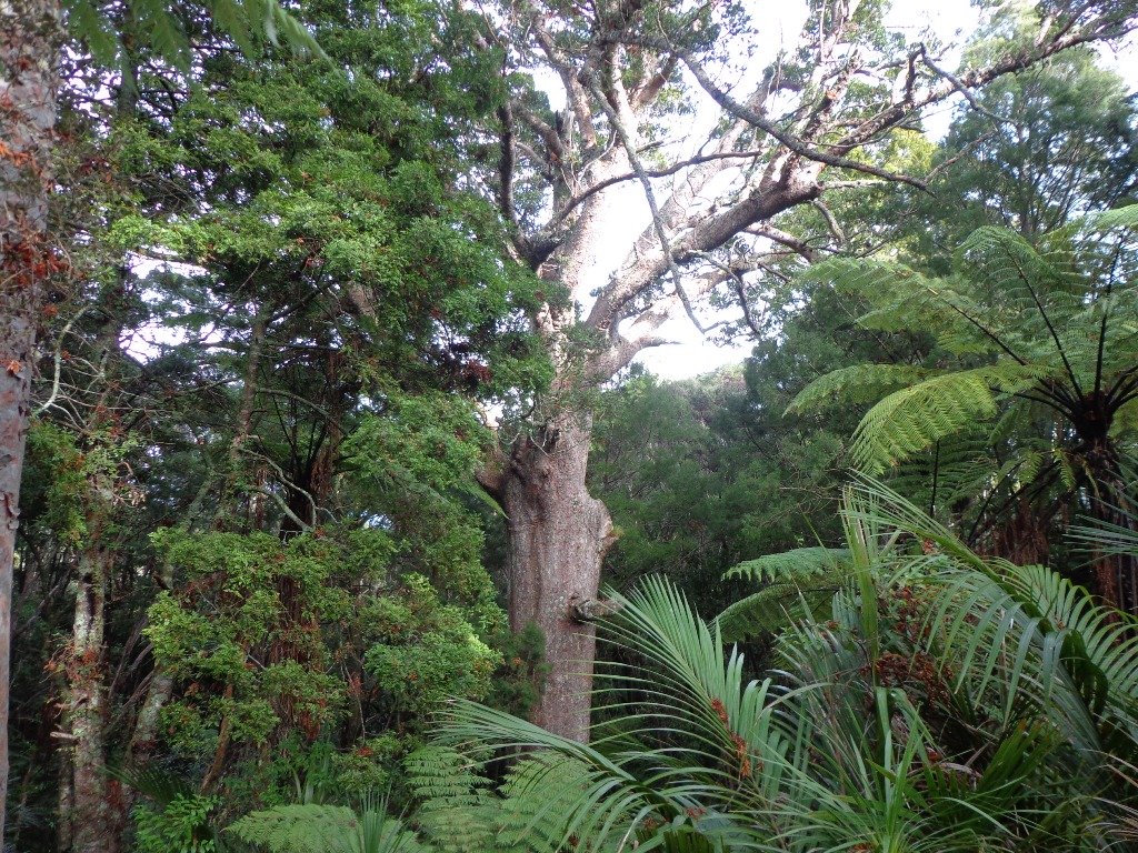
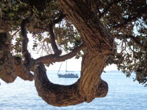
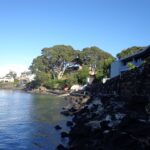
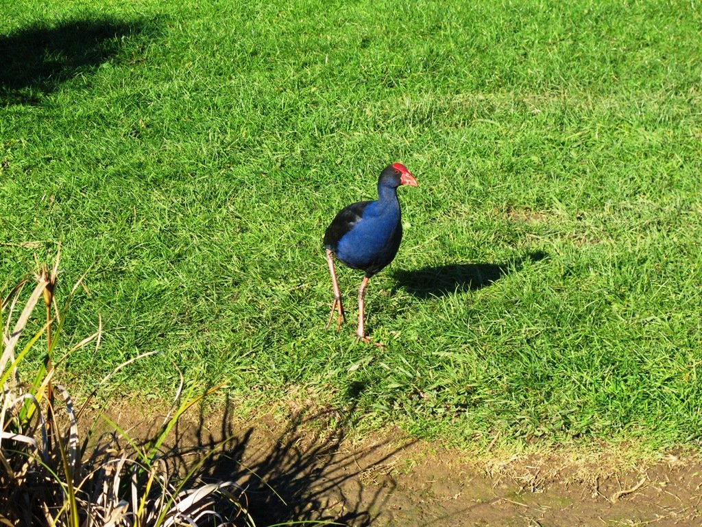
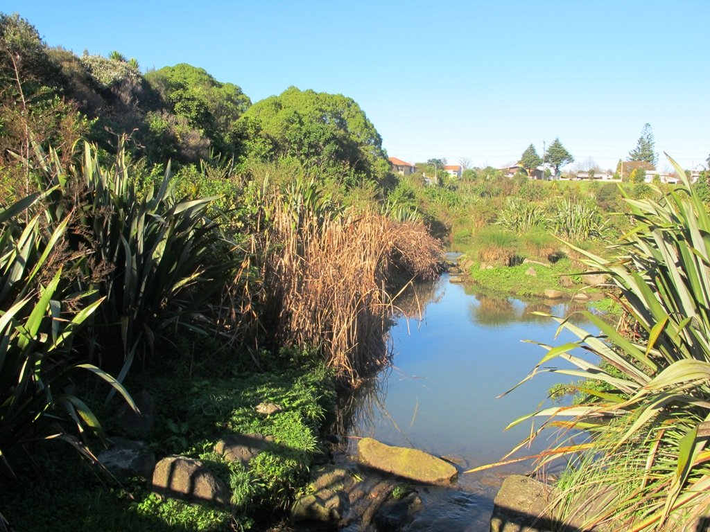
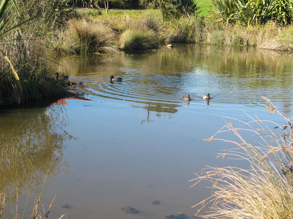
To see: Native bush, views across Manukau Harbour, native birds.
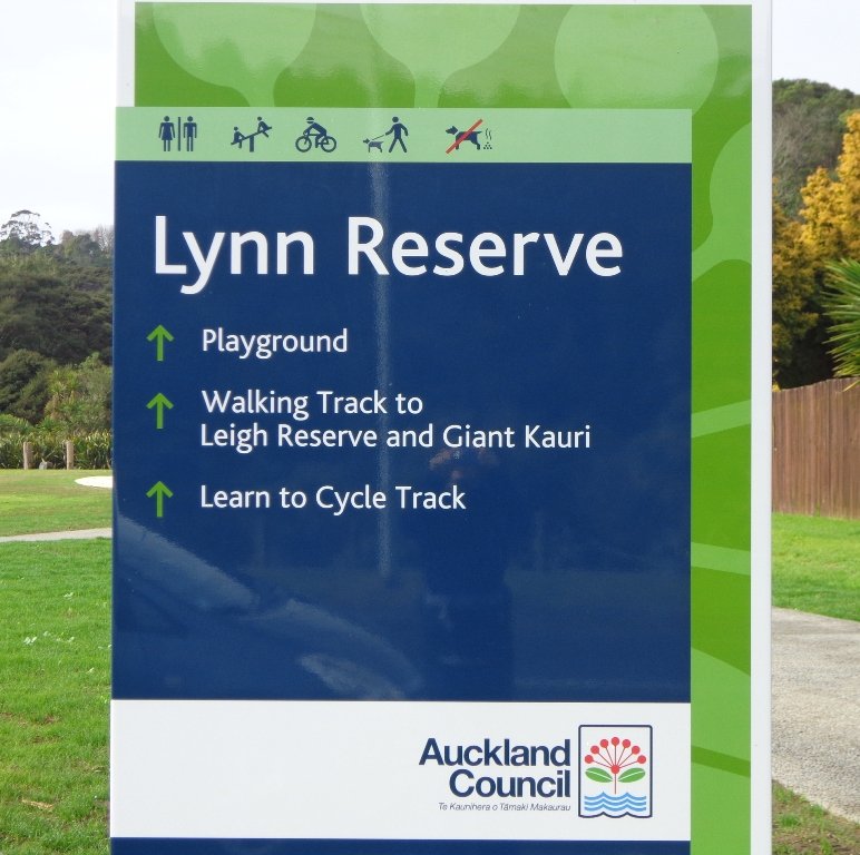
Time: approx. 45 minutes. (about 3.75 kms). One small children’s playground. Dog friendly off-leash in Manukau Domain (alongside the Lynfield Cove Walkway).
Parking: Himalaya Crescent, Lynfield.
Buses: Halsey Drive, Lynfield MAP
Stay on track…find this walk’s map and directions guide (AC-086 Lynfield Coast & Bush Walk) and other walk self-guides at our Walk Store.