Long Bay Regional Park is situated on the northeast coast of Auckland and is one of the cities most popular recreation destinations. The long sandy beach, extensive park facilities and range of walking tracks make it a great place to walk. Enjoy the open fields or native bush. Be refreshed by the ocean air and the stunning views of the Hauraki Gulf and its many islands.

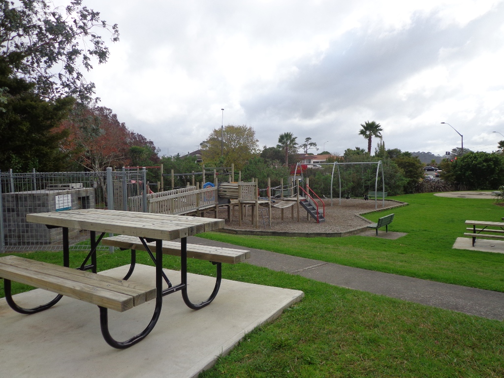
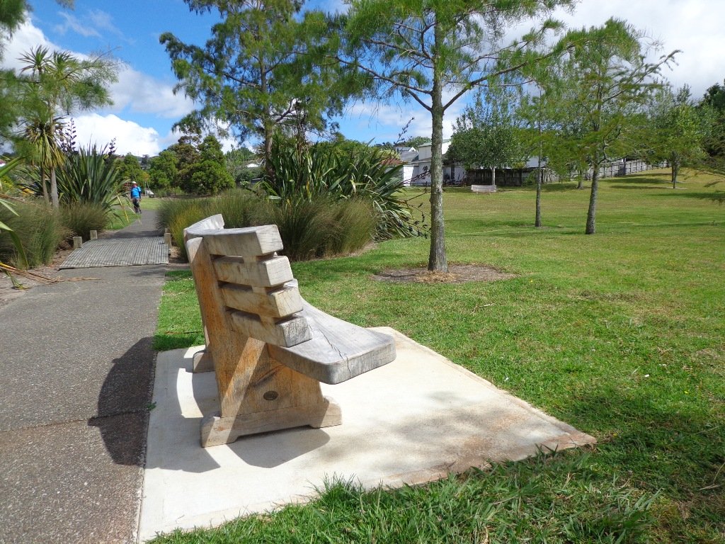
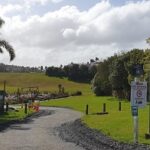
Parking is plentiful at Long Bay and there are toilets, water fountains, children’s playground and BBQ’s within the park area behind the beach. Take in some history with the Vaughan Homestead or a walk to the military pillbox.
Long Bay Regional Park offers explorers a range of walks from 15 – 20 minutes up to 3 – 4 hours, all of which are highly rated. There is more detail on each of the walks provided below, but here is a brief overview:
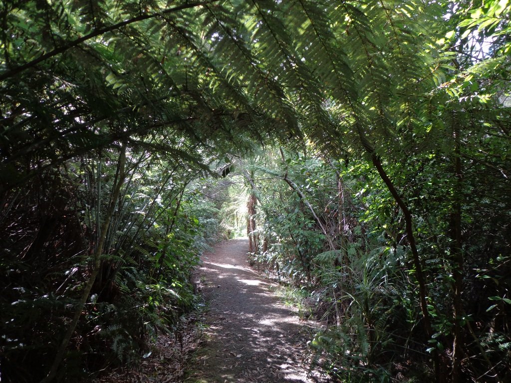
Nature Walk: this is a short loop walk through native bush of about 15 – 20 minutes.
Granny’s Bay Walk: this loop takes you through the wetlands and bush to the ridge, detour to the pillbox and then to Granny’s Bay. Return via the rocks if the tide is low enough. Time approx 45 – 60 minutes.
100 Acre Walk: add this detour to the Granny’s Bay walk and enjoy a kilometre walk through the regenerating native bush. Time is approx 15 mins from the Granny’s Bay walk.
Okura River Walk: this is a good half-day trek and extends beyond Granny’s Bay to the Okura River mouth. At lower tides, you can return along the rocks and beaches.
| Walk Time | 15 – 20 minutes, 1.1km (Nature Trail loop) 45 – 75 minutes, 3.8km (yellow) 2.5 – 4 hours, 9km (yellow & red) |
| Surface | Gravel or Grass Tracks |
| Difficulty | 2/5 – some steep sections |
| Buggies/Wheelchairs | 3/5 – the initial track to Granny’s Bay is fine, although some parts are steep. There are stairs beyond Granny’s Bay. |
| Facilities | |
| Highlights | Views, Swimming & Water Sports, Array of tracks |
Click here to open the Google Map in a separate tab or tap the icon in the top right of this map.
Download a pdf version of the Long Bay Reserve Walks Printable Map
Long Bay Reserve Walking Tracks Description
Select from short walks of just 15-20 minutes up to a full half-day adventure. Enjoy the sea, the views, the bush and birdlife – Long Bay is simply a wonderful place to explore and enjoy.

The Vaughan Homestead is worth a detour and is a little beyond the entry to the main track. This historic home is situated at the northern end of the beach. More historic information can be found here.
Nature Walk: 15 – 20 minutes, 1.1km
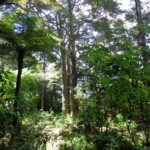
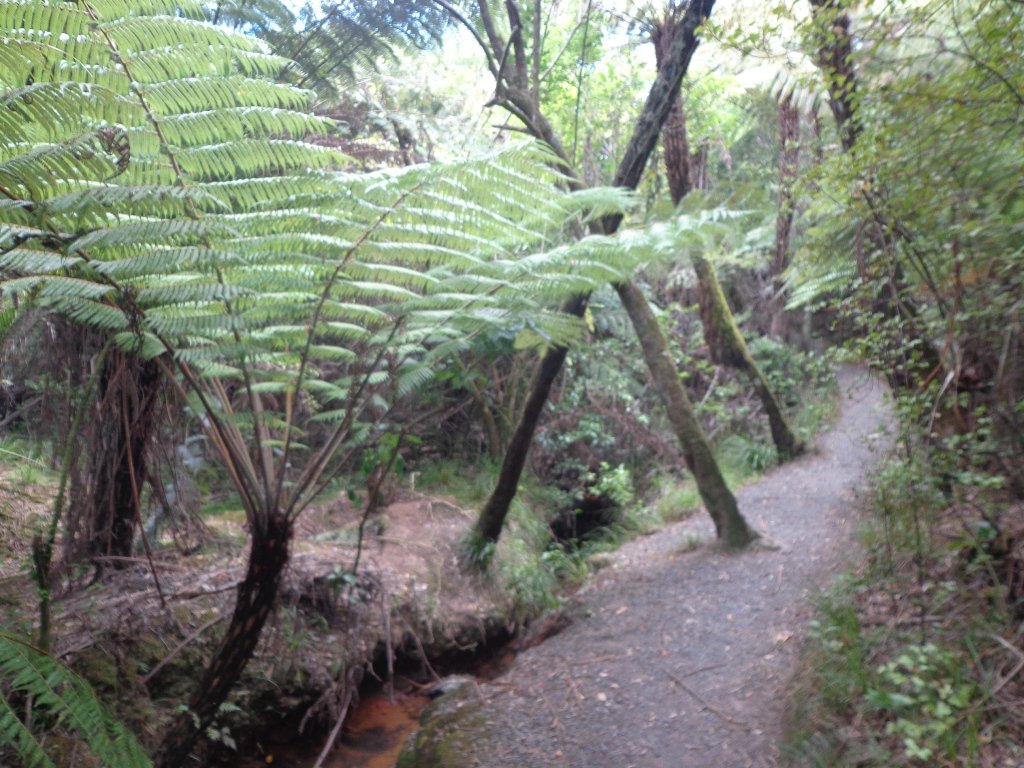
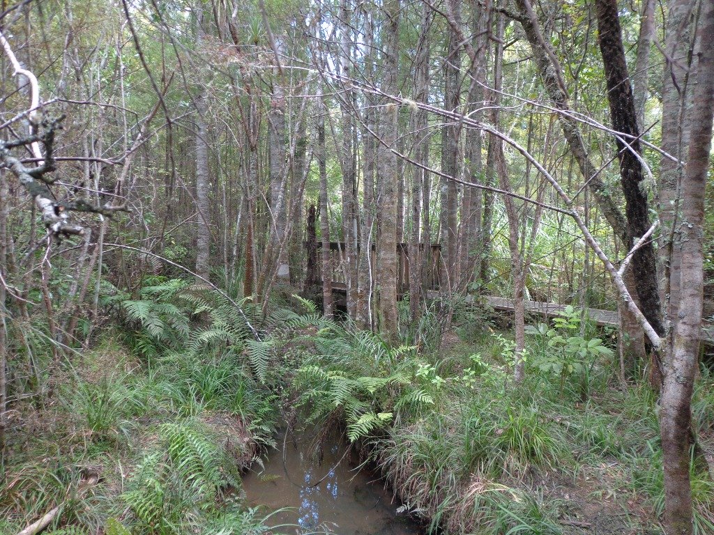
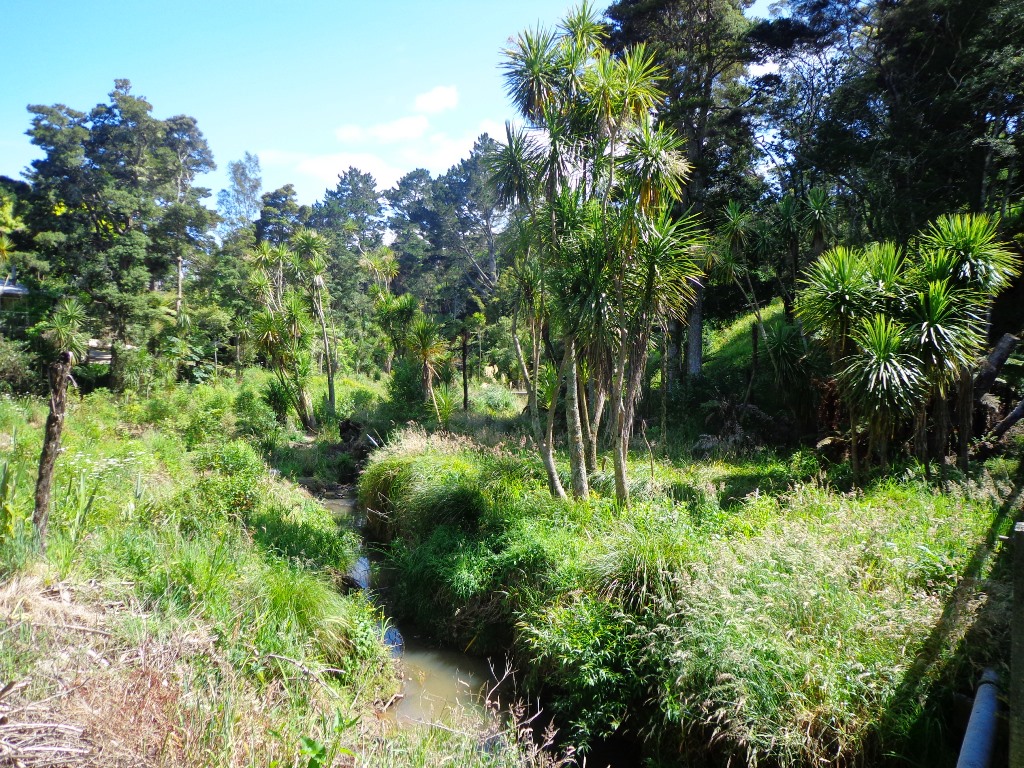
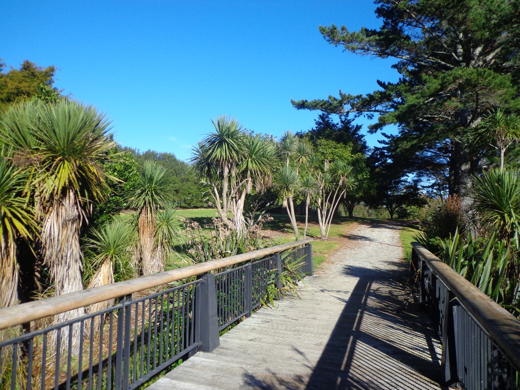
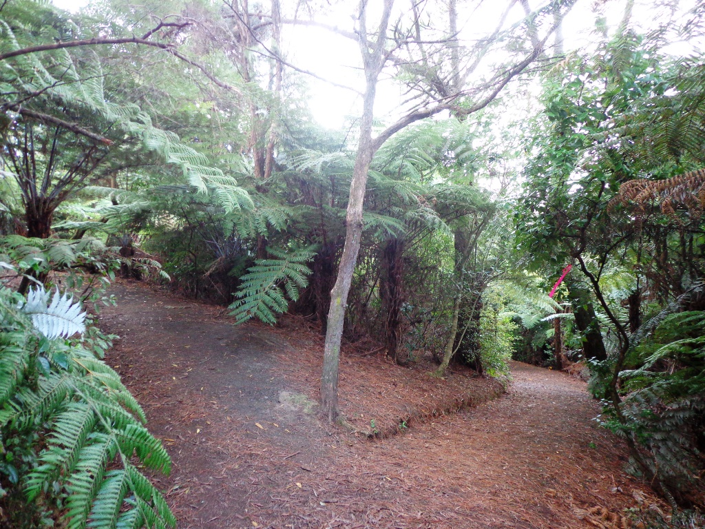
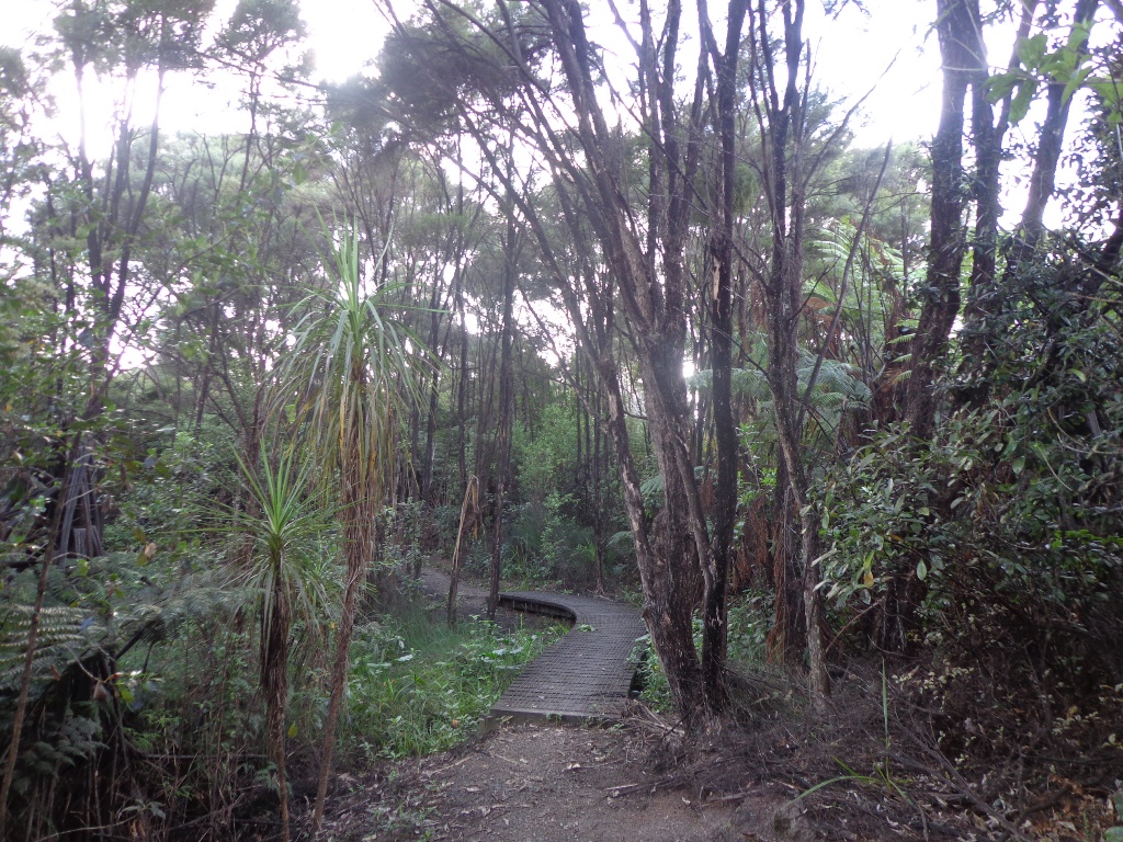
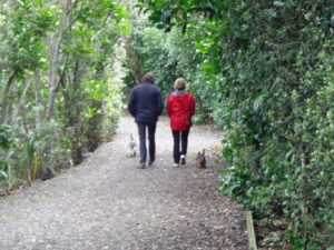
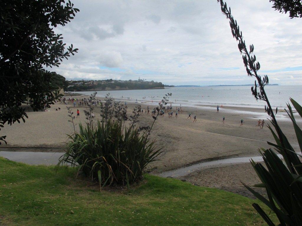
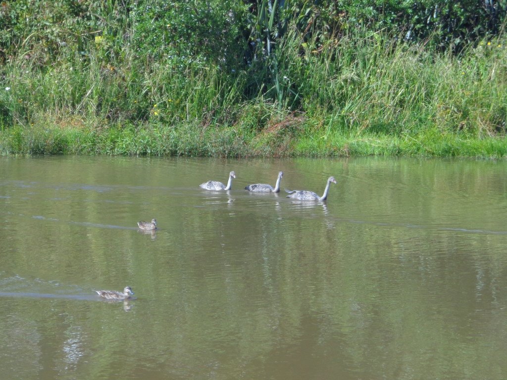
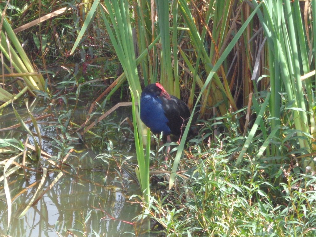
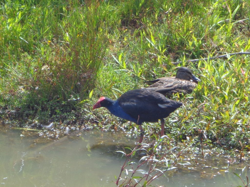
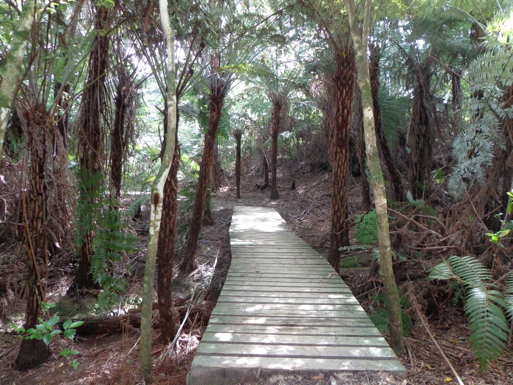
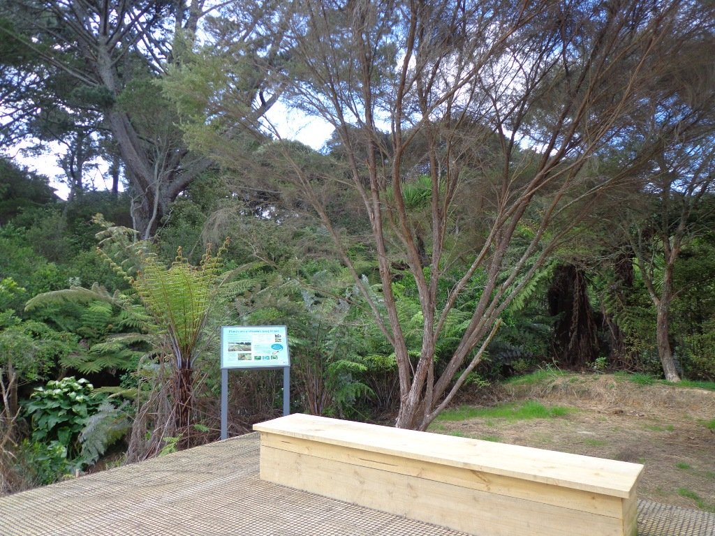
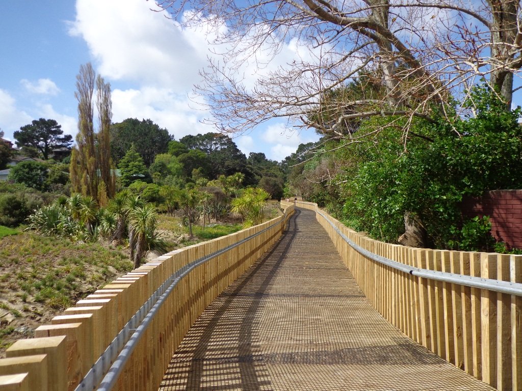
This short walk is a loop that commences from the end carpark of the Long Bay and takes in the Wetland and Nature Trail tracks. Once at the far carpark, walk northwards through the chain across the driveway. About 100m from the start, turn left at the coastal track sign and head into the flat wetland area. Follow the pathway for a further 300m until you reach the bridge where you will cross the stream that heads to Long Bay Beach. Keep a lookout for a variety of swamp birds.

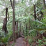
Head across the bridge and up the hill. 100m on the right is the Nature Trail which follows the stream for about 250m before existing just below the historic Vaughan Homestead. The Nature Trail tracks through attractive NZ native bush. Turn left to view the Vaughan Homestead or right to head back to the start.
Granny’s Bay Walk: 45 – 60 minutes, 3.8km

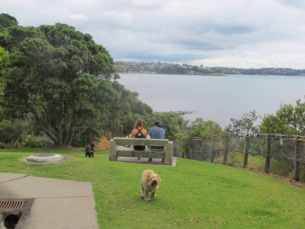
This is the most popular walk at Long Bay Reserve as it provides stunning views across the Hauraki Gulf and access to the less busy and beautiful Granny’s Bay.

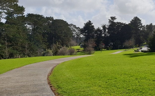
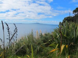
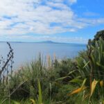
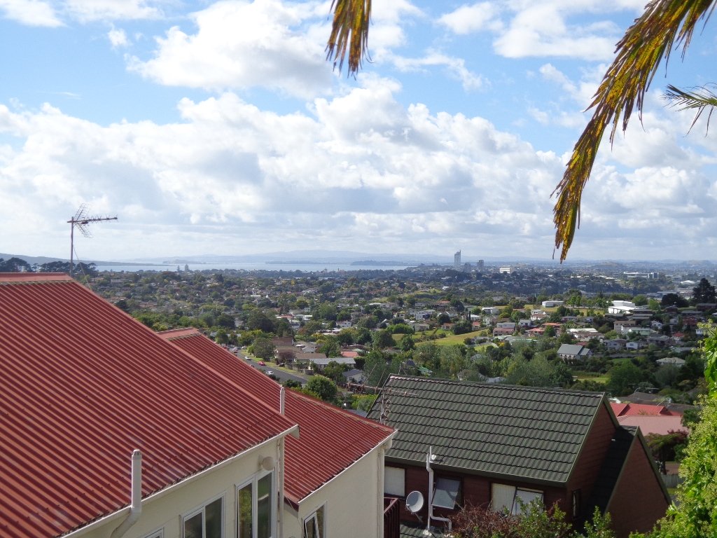
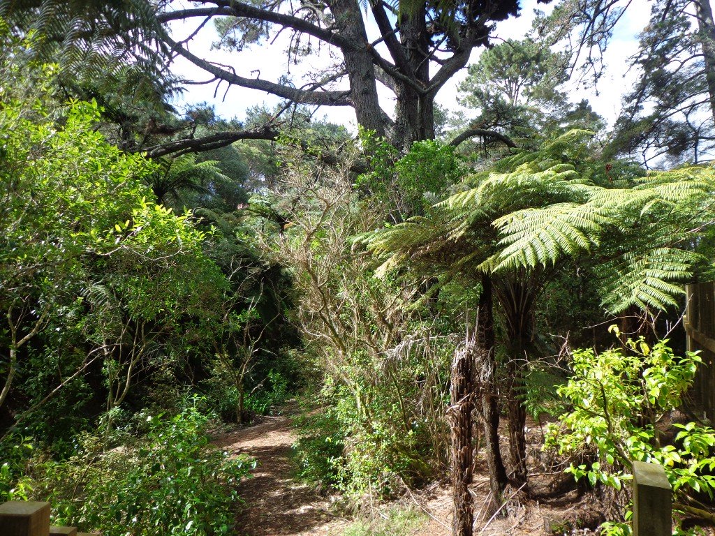
Take the same route as described above for the Nature Trail, however, continue to climb the hill track until you reach grass fields. Once at the top of the hill, walk through the grasslands towards the clifftop. This is where you get your best views across the water and all the way to Auckland.

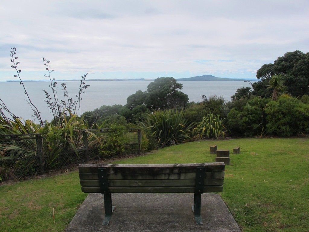
A small detour on a bush track, through the fence line, near the cliff takes you to a historic pillbox. There are glimpses of views back down Long Bay Beach from here. The track at times is closed due to slips, so be mindful of its condition.
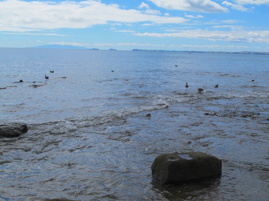
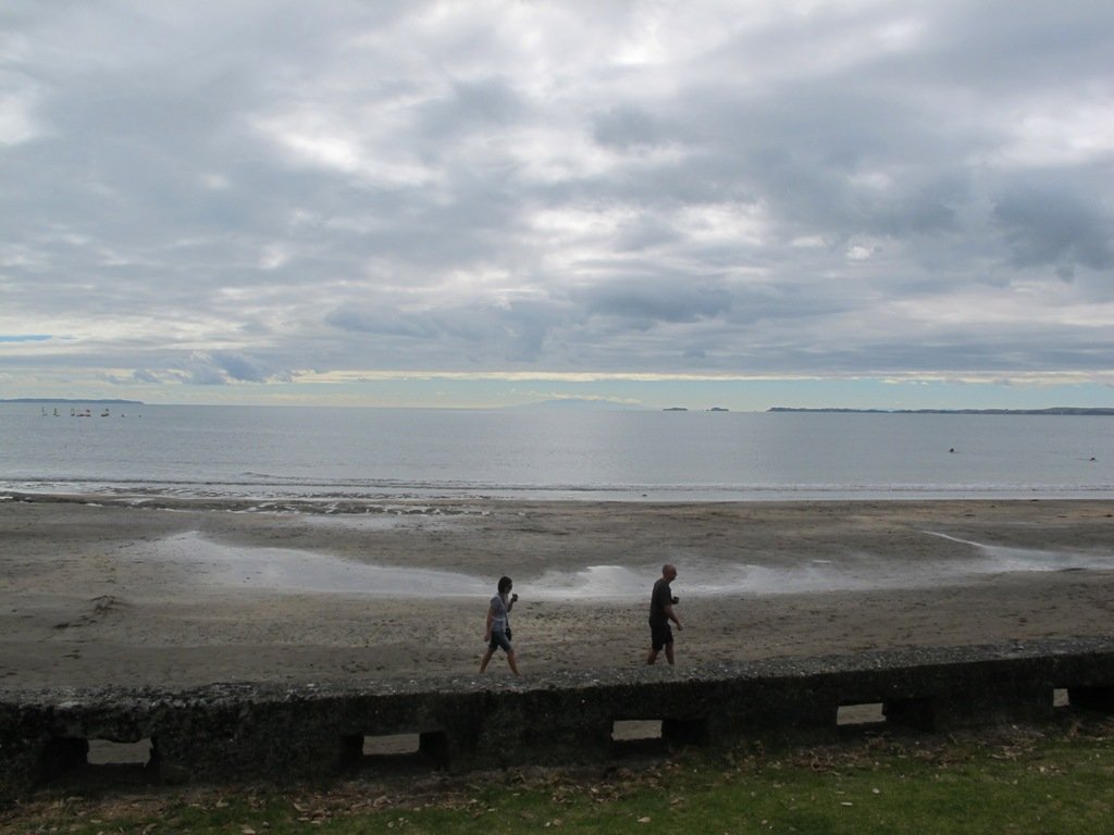
At the fence, take a left and continue to follow the track down the hill to the Beach. At high tide, it is a beautiful swimming beach and very private. As the tide recedes, it becomes part of the ongoing coastline and not so attractive for swimming.
There is a second Bay over the next hill that is also pretty but be aware that clothing is optional here and so most may not want to stop here for the swim and picnic!

The return to Long Bay can be achieved by walking around the rocks if half-tide or lower, or by retracing your steps up and over the hill. Take care though as it can be slippery when wet.
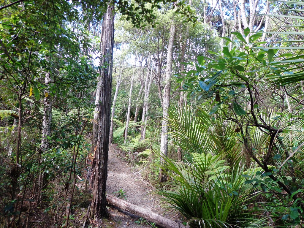
100 Acre Walk: 15 – 20 minutes, 1.6km

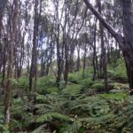
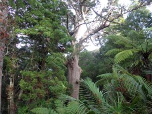
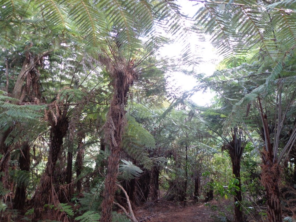
Enjoy a tranquil stroll through native bush on the 100 Acre Track. This is a regenerated area of native bush and enjoys great birdlife. The track is wide and grassy, a little muddy in the wet. The flowering Tea Tree and birdsong are highlights.

Access the 100 Acre track from the walkway to Granny’s Bay or from directly adjacent to Granny’s Bay.
Okura River Walk: 2.5 – 4 hours, 9km
Make a day of your time at Long Bay Reserve and complete the Okura River Walk. This is pleasant and spectacular. The track these days is pretty good, although still has some muddy patches in the wet towards Okura River.
This walkway can be completed as an out and back walk or using the track one way and the coast the other. The coastal return should only be attempted when it can be completed within 2 hours of low tide for the entire trip. It can also be very rocky and slippery but is a great option for more confident walkers. I have completed this one many times when it was a route I ran a lot and it is amazing but requires care.

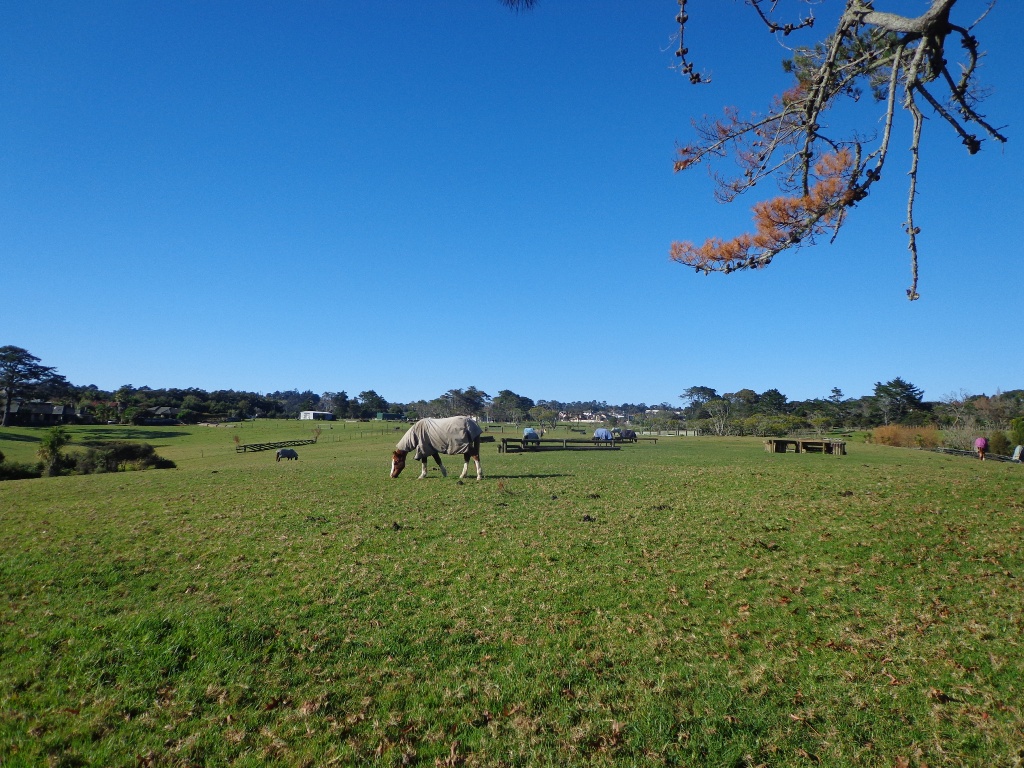
Take the track to Grannys Bay and then continue over the next hill to Pohutukawa Bay. The track then climbs again upwards adjacent to farmland on the left and clifftop bush on the right. The walk is grassy and undulating, with views along the way. As you get closer to the Okura River Mouth, the track heads more westerly until you drop to the Okura River.
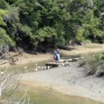
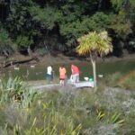
If the tide is low enter the ‘beach’ and then turn right to return via the coast to Long Bay. If the tide is not low, retrace your steps to return to Long Bay.
Buggies and Wheelchairs
Many of the Long Bay tracks can be accessed by buggies and wheelchairs. The constraint is more the hills as some are steep.
Other useful Links:

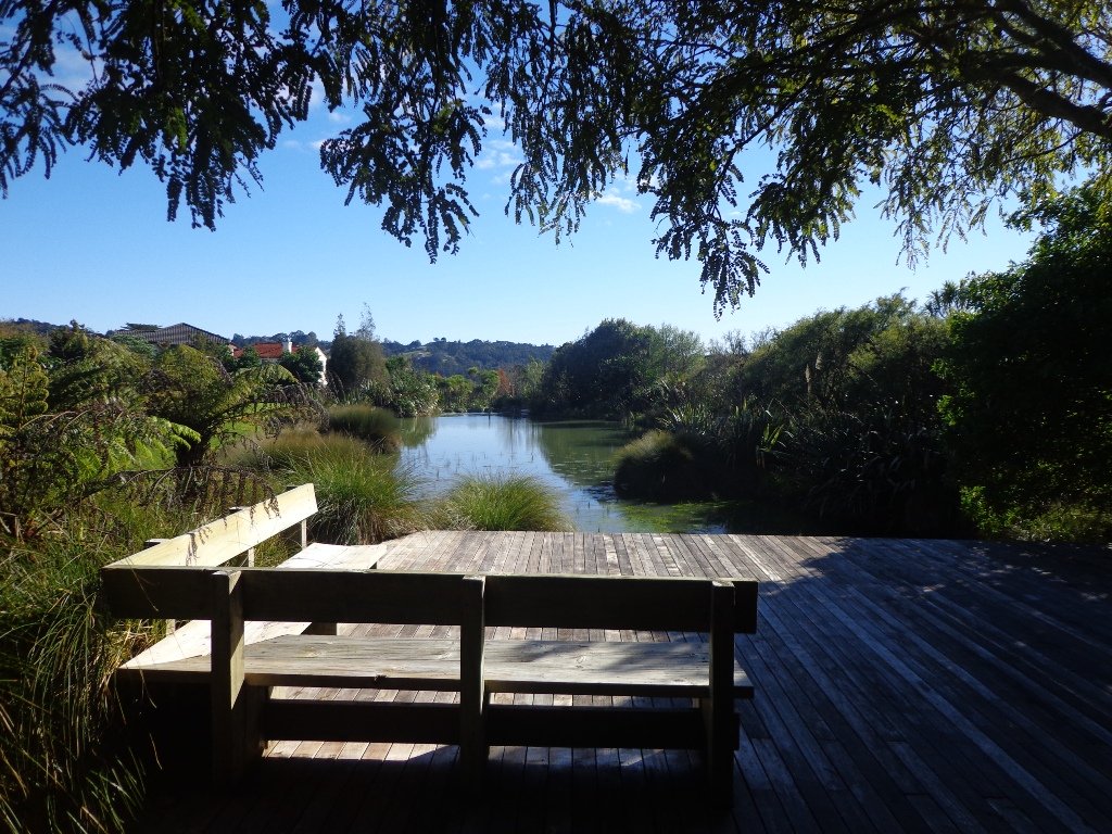
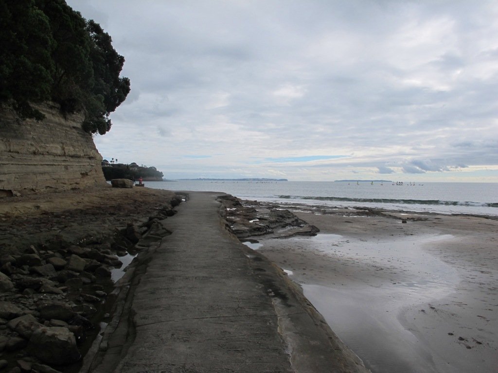
Return to Long Bay via the coast 
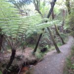
Track through 100 Acre 
View to Rangitoto Island 
Northern end of Long Bay Beach 
Track to Nature Trail 
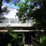
Vaughan Homestead 
Return to Long Bay via the coast 
Gun Emplacement Detour The coastal return 
Beautiful Grannys Bay


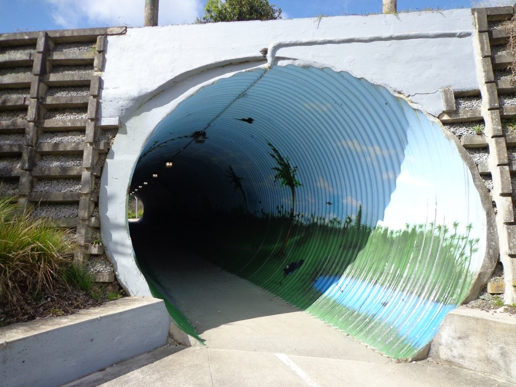
 Devonport to North Head. Take your torch for the tunnels and your camera to capture the views across the Gulf!
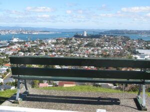
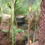


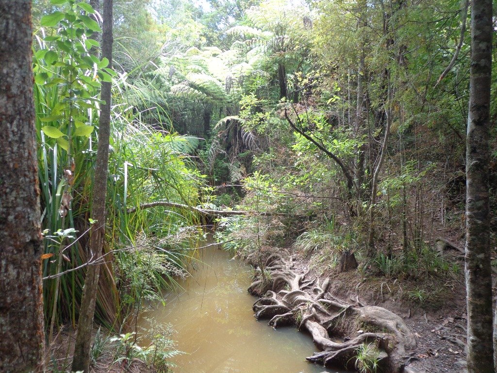
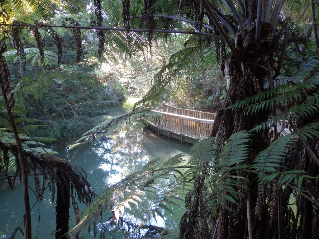
 As usual we were surprised at what we uncovered – a beautiful bush walk along a stream. The previous night had been very stormy (the news reported that there were over 1000 lightening strikes) and the stream was very full and flowing very fast! The well formed track following the stream however was not muddy as we would have expected.