Tag Archives: Tamaki

Point England Walk

Point England Reserve

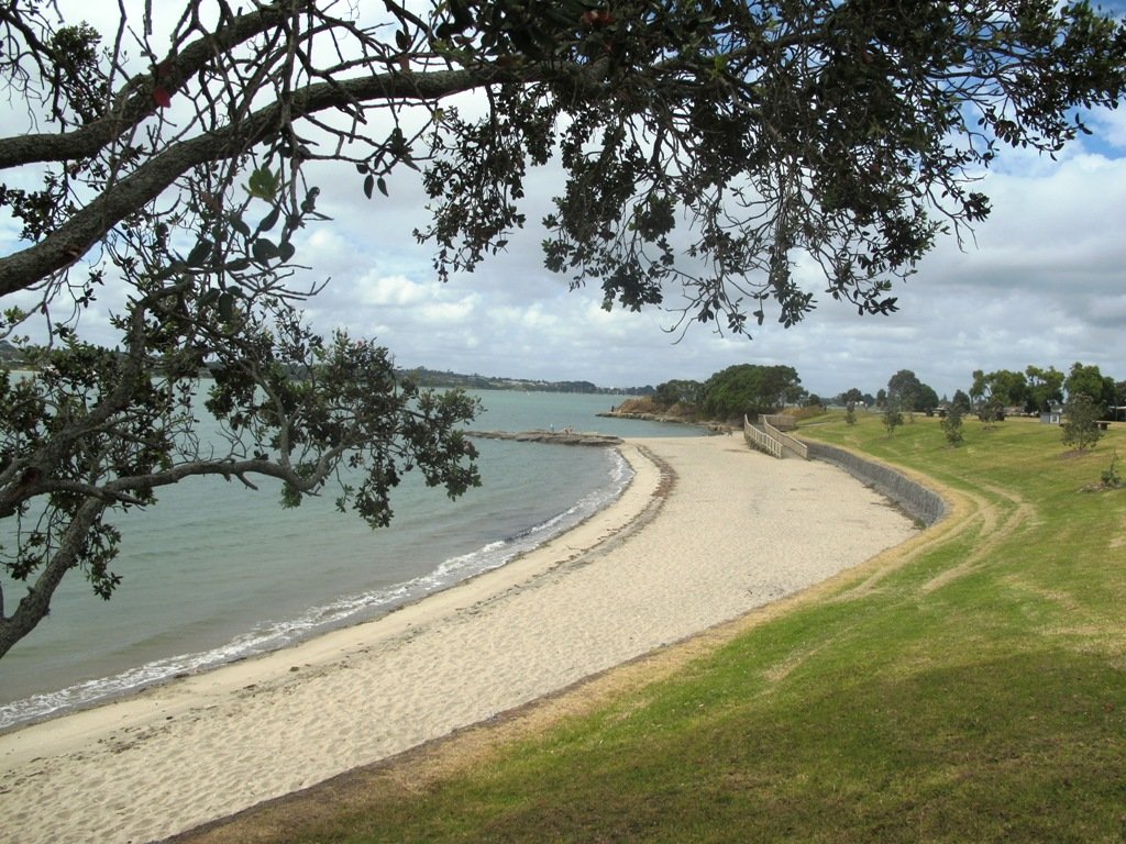
We are not familiar with the Tamaki and Glen Innes area, so today was our first walk and explore. And we discovered beautiful Point England Reserve.  What a gem! We had no idea that there was a sandy beach here.

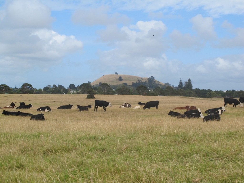
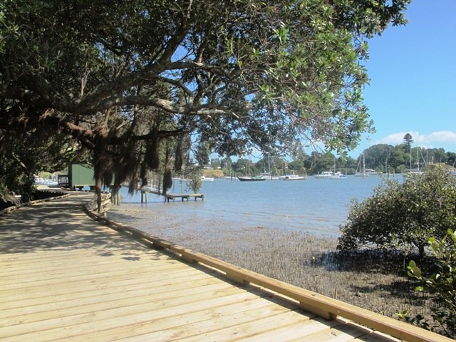
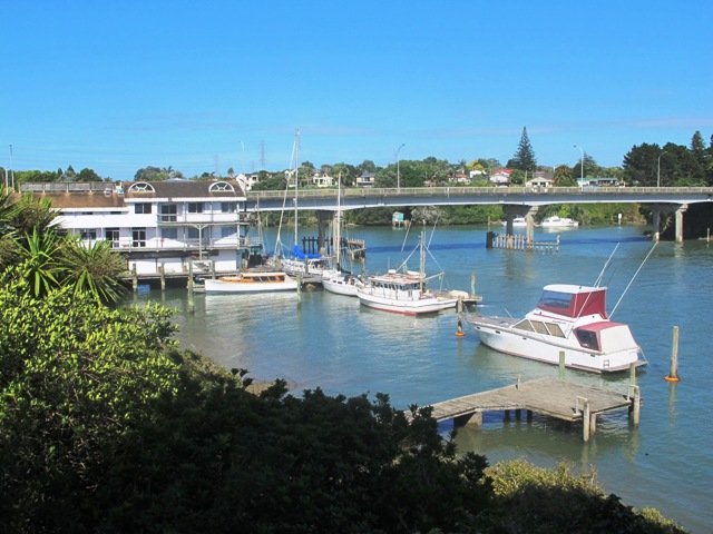
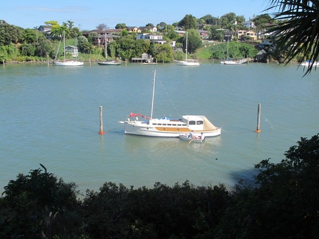
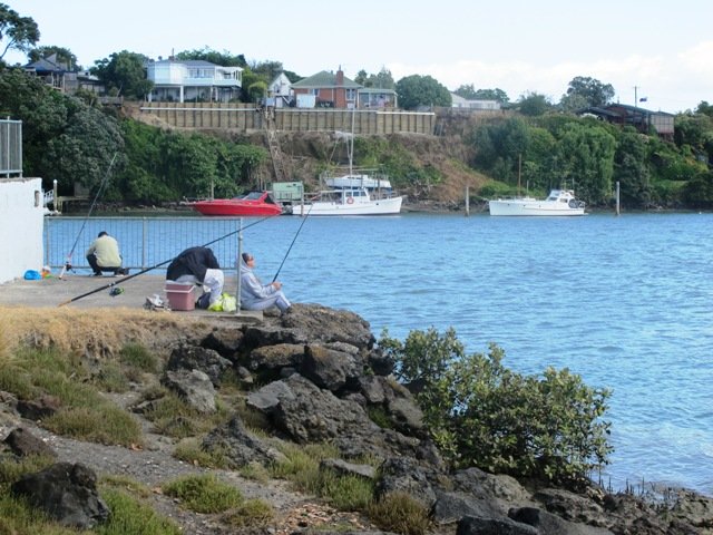
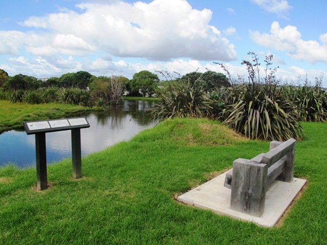
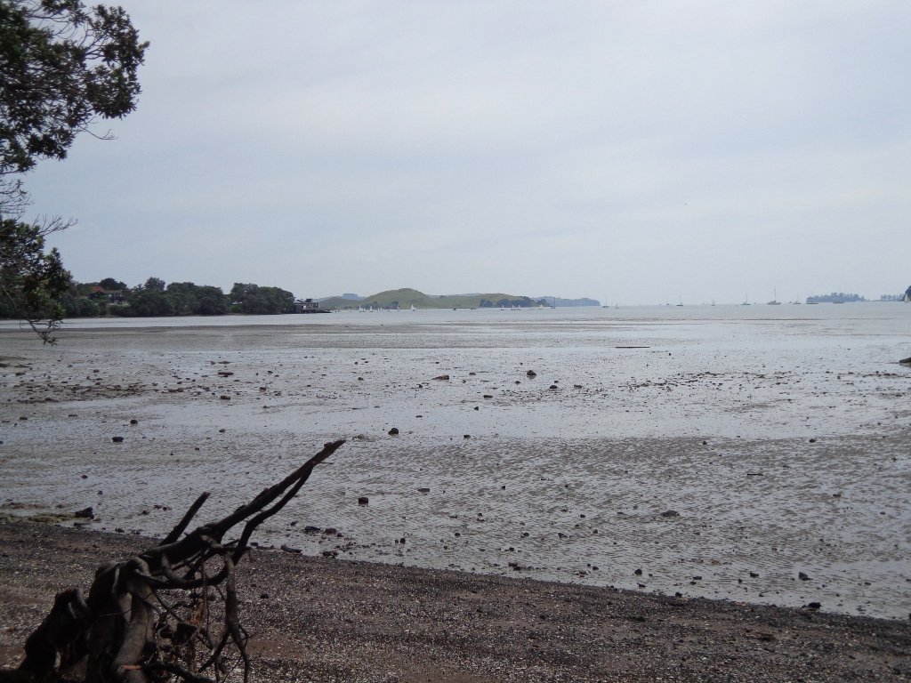
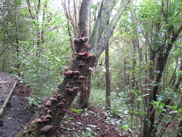
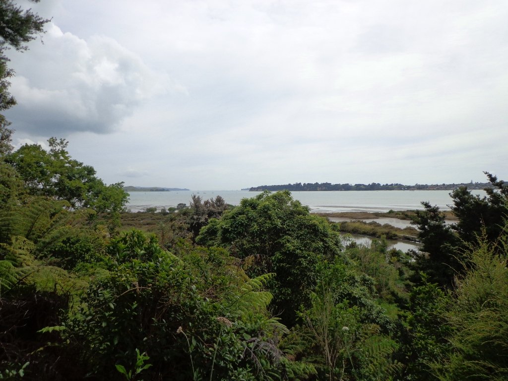
This walk offers great views of East Auckland and the Waitemata harbour and as the walkway passes through bush, mangroves and farmland. This route is a part of the 7.5km  Point to Point Walkway.

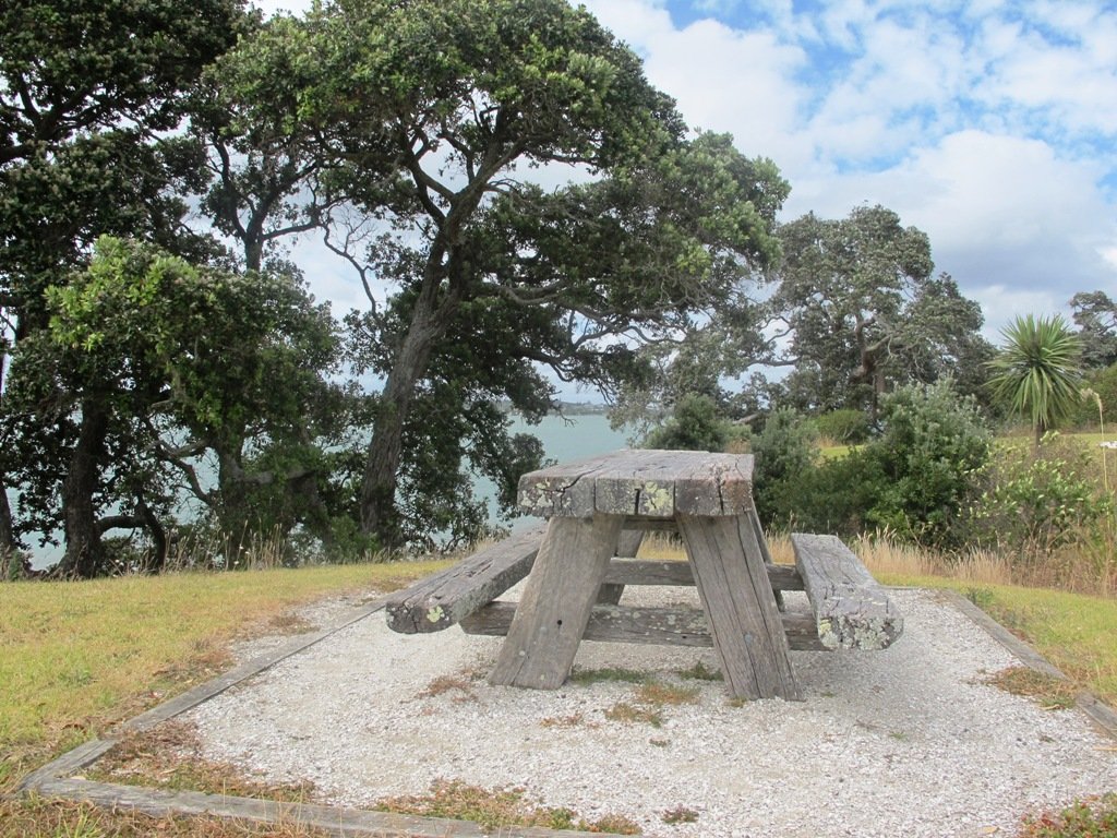
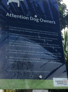
The walking route is also great for prams/buggies and dog walkers (on leash only).

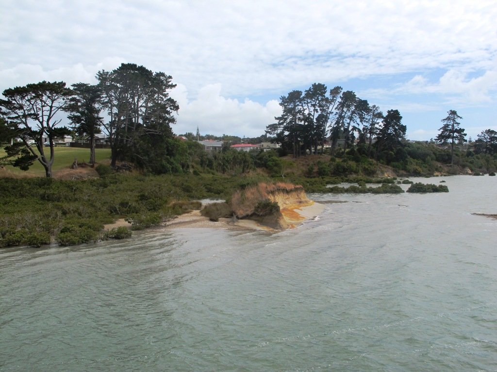
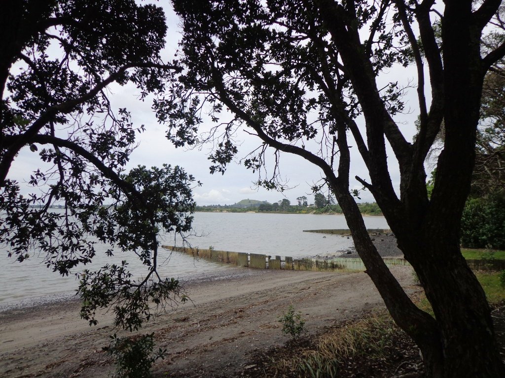
The lack of rainfall has made the Omaru River smelly, so we do hope that will improve when it next rains.  Part of the path is in great need of maintenance.  We wonder if the local schools could adopt part of the walkway and learn how to maintain and enhance the bush and stream??? (The Omaru River is an outlet of Orakei Basin and runs underneath Meadowbank to Apirana Ave, through Maybury Reserve and out to Wai O Taiki Bay).
Update: a project was kicked off in June 2013. Read: Youth keen to save river

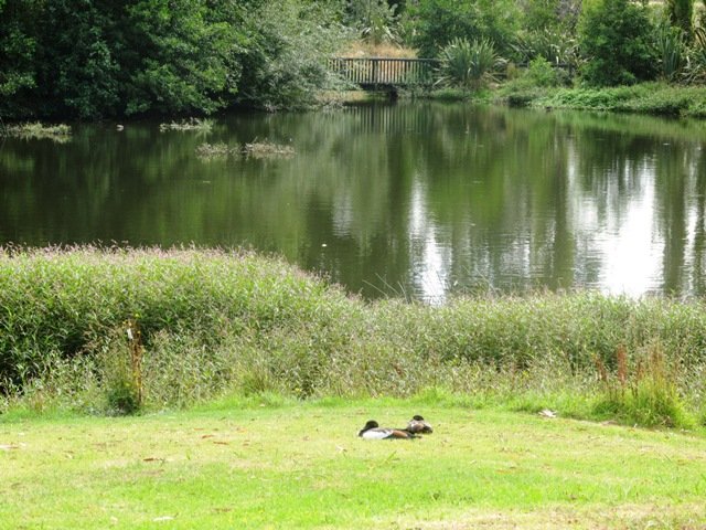
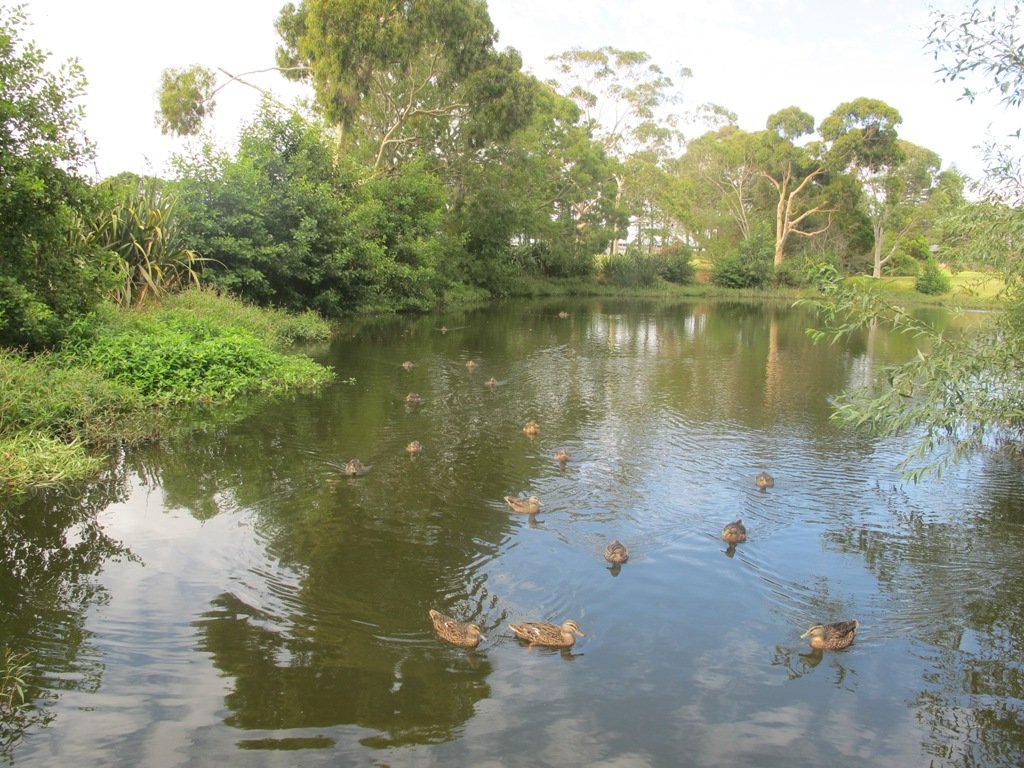
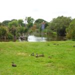
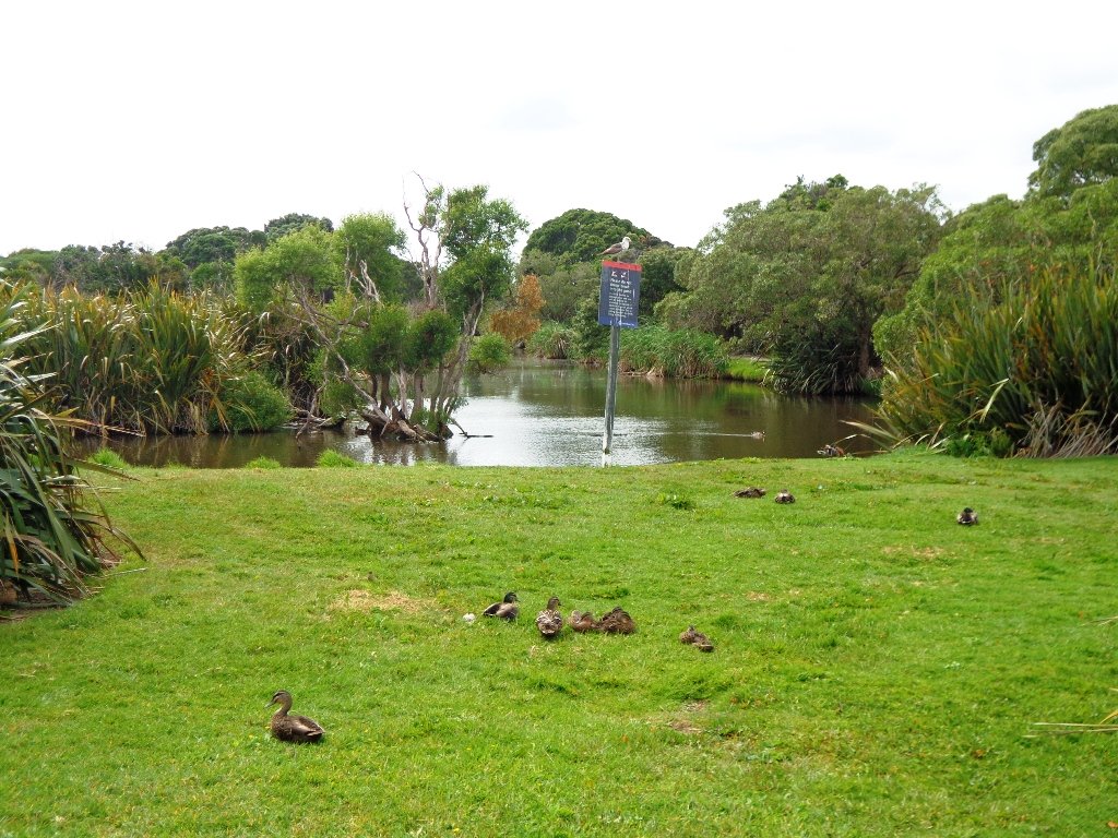
Description: Mostly level paths. Suitable for users of average fitness and mobility. (Take bread to feed the ducks)
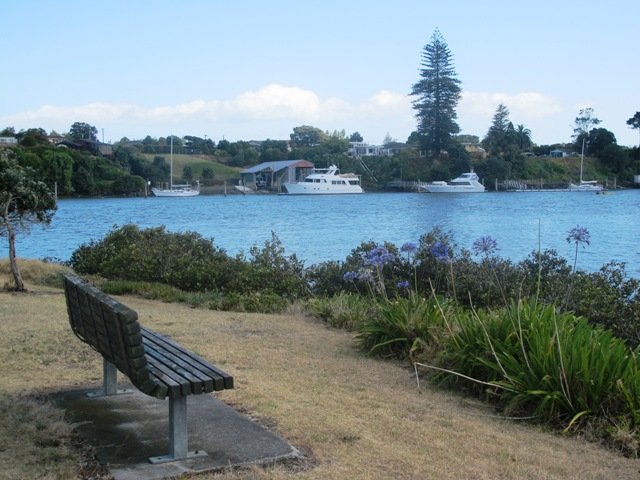
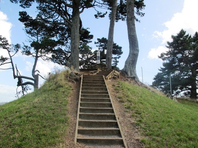
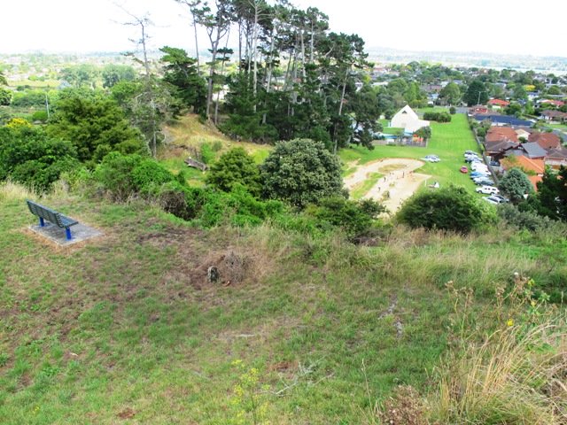
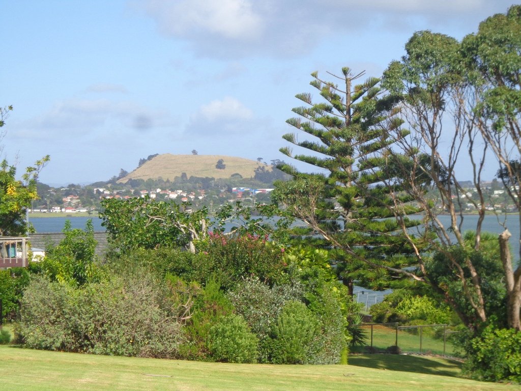
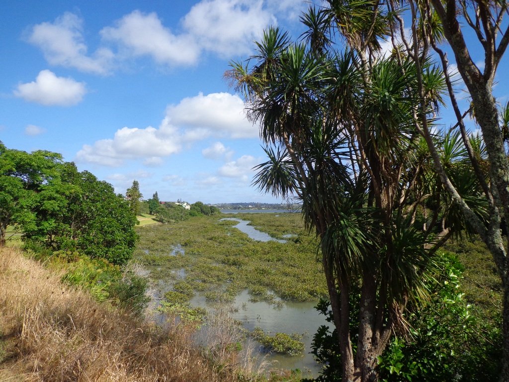
To see: Estuary views, boats, wetlands, mangroves, residential housing, view of two volcanoes – Mt Wellington and One Tree Hill, Point England Reserve, Maybury Reserve feijoa trees
Time approx. 80 minutes. (about 7.0 kms)
Start: Glen Innes Train Station (or Point England Road Reserve at end of Point England Road)  MAP
Nearby Walks: Tahuna Torea, Waiaturua Reserve

Stay on track…get your detailed guide and map over at our Walks Store  (AE-059 Point England Walk) and our Book Store (one of 12 walks featured in our books “Coastal part 2” and “Best of the East”).

Pakuranga Loop walk

Part of our Pakuranga Loop Walk is along the  Pakuranga Rotary Walkway which currently extends to Pigeon Mountain, along the Tamaki Estuary and Whakaaranga Creek. 

Pakuranga walkway

It is a safe cycling, jogging and walking route. The walkway is paved and relatively flat, making it suitable for wheelchairs, pushchairs and a range of fitness levels. The walkway along the estuary is safe for family cycling.

dog off leash sign - Copy

The walking route is also great for prams/buggies and dog walkers (on leash). There is an off leash dog exercise area
along the Pakuranga Rotary Walkway between the Panmure Bridge and Waakaranga Reserve which permits dogs off-leash under the owners control. This is a huge off leash walk but most people do not know about. This sign can be found at the entrance to the walkway at Kerswill Place. See Auckland Council dog rules.

These flat river plains were used to grow oats, hay and wheat up until the 1950’s.   Pakuranga was then known as “the granary of Auckland”.

This walk section looks into the mouth of the Panmure Lagoon from the opposite bank.

Description: A mix of level paths and slightly inclined paths. Suitable for users of average fitness and mobility.
To see:  Estuary views, boats, wetlands, residential housing,  Mt Wellington, Pakuranga Mall
Time: approx. 40 minutes. (about 3.75 kms)
Start: Pakuranga Mall  Map

Stay on track…find this walk’s map and directions guide (AE-057 Pakuranga Loop) and other walk self-guides at our Walk Store

Click on the photos below to view in full screen.

Pigeon Mountain and the Wetlands Loop Walk

Pigeon Mountain in the suburb of Half Moon Bay is another of Auckland’s volcanoes.  The mountain was originally three times its present size but its two craters have been quarried away to provide scoria. It is called Pigeon Mountain because in early European times, native pigeons called ‘kereru‘ used to live here.

Walks in Auckland
View from Pigeon Mountain

You can walk to the top of Pigeon Mountain and from the summit there are great views of Tamaki Estuary and Wakaaranga Creek Reserve mangroves, whilst below are boardwalks that cross over wetlands that house nests for the pukeko bird.

Follow the link to the Google Map of Pigeon Mountain and the associated  Wetlands walk.  We also have a second walk option for these areas here. 

Follow this link for the Short walks In Auckland alternate Pigeon Mountain Walk.

walks in Auckland

The nearby mangrove edged Wakaaranga Creek has good paths for wheels.  And there is a cool long slide in a playground that is worth checking out. Because most of this walk is in a bird reserve, dogs must be kept on-leash. However if you choose to follow the 5km Pakuranga Rotary walkway, there are several areas for off-leash exercise between the Pakuranga Sailing Club and Wakaaranga Reserve. This is a mostly flat walk if the walk to the summit of Pigeon Mountain is omitted.

Be aware that some pathways between houses and roads are iron bar chicanes that make it more difficult for wheelchairs, prams and cycles using the path.

Description: A mix of level paths, steps and slightly inclined paths. Suitable for users of average fitness and mobility. May require boots in wet weather, running shoes suitable in dry weather.
To see: Auckland City views, Rangitoto Island views, Volcano summit, wetlands, Pukeko birds habitat.
Time: approx. 75 minutes. (about 6 kms). Allow extra time to walk to the summit of Pigeon Mountain.
Start from: Gills Road just off Pigeon Mountain Road MAP

Stay on track…get your detailed guide and map over at our Walks Store  (AE-033 Pigeon Mountain and the wetlands) and our Book Store ( one of 12 walks featured in our books “Volcanoes” and “Best of the East”).

Tahuna Torea nature walk

Tahuna Torea is a beautiful nature reserve and wetland (salt marsh and freshwater habitat) in Glendowie, East Auckland. This nature walk follows the estuary edge and through native bush. I was hoping to head there yesterday but the rain was too heavy. Today the skies cleared to reveal a warm autumn day perfect for another walk in Auckland.

The starting point is at Roberta Reserve – it is a space that children can enjoy with a playground in the corner. Roberta Reserve is an off leash dog exercise area, but no dogs are allowed within Tahuna Torea itself because of the shore and wading birds that wander freely in this conservation area.

Tahuna Torea introduces you to 25 hectares of unique wildlife sited on a long sand bank extending out into the Tamaki Estuary. It is rich in Maori history as well as native birds and vegetation. Native trees are well sign-posted and there are fabulous views of the sandspit and estuary. There are three main walking trails around the reserve and you can walk them separately or together. It is a fun bush and shore family friendly walk.

Check out the tides before you head out – at low tide you can explore the Sandspit Beach Walks and at high tide you can enjoy the beauty of the water.

Description: : A mix of level path and a steps. Suitable in dry weather. Suitable for most ages and levels of fitness and mobility, designed with flat shoes or running shoes in mind. Not suitable for wheelchairs and pushchairs.
To see: Wilderness Nature Reserve. Estuary views, sand spit, mangrove lagoon, freshwater pond, native birdlife, and native trees, Hauraki Gulf views. Bring binoculars to view birdlife.
Time: approx. 45 minutes. Allow extra time to explore.
Start: On corner of Robert Ave and Riddell Road. MAP

Suggested Café:
Ronnies, Corner of Riddell Road and Roberta Avenue (they do great iced coffees!)

Stay on track…get your detailed guide and map over at our Walks Store  (AE-010 Tahuna Torea) and our Book Store (one of 12 walks featured in our books “Urban Bush”,  “Coastal part one” and “Best of the East”).