Tag Archives: Estuary

Bayview Coast and Bush Walk

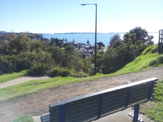
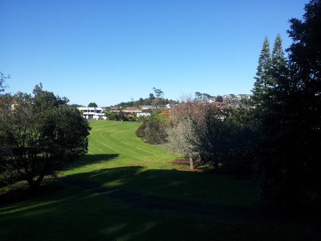
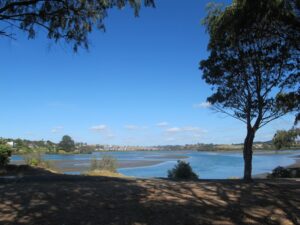
Today we set out to explore the Bayview area near Glenfield on Auckland’s North Shore. What a wonderful surprise to find a beautiful bush walk, alongside the Upper Harbour reaches, all part of the Glenfield Coastal Walkway.

Manuka Reserve © 2011-2013 Unleashed Ventures Limited

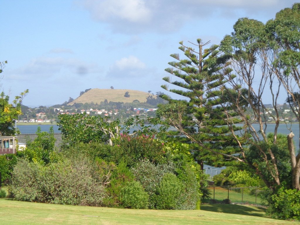
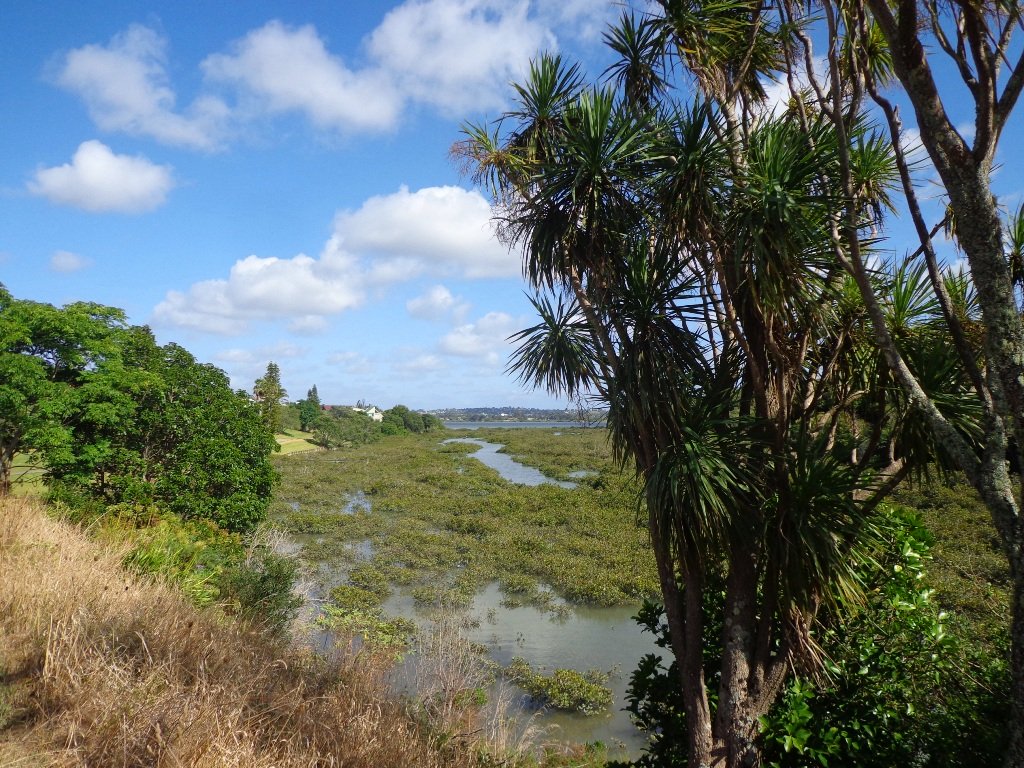
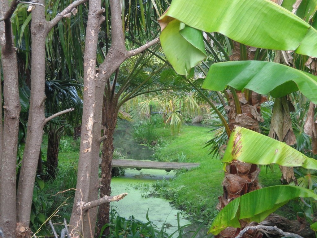
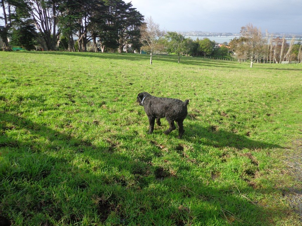
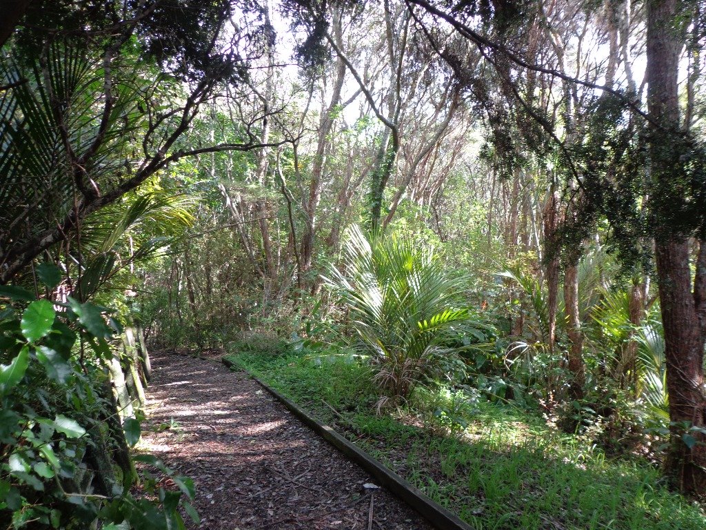
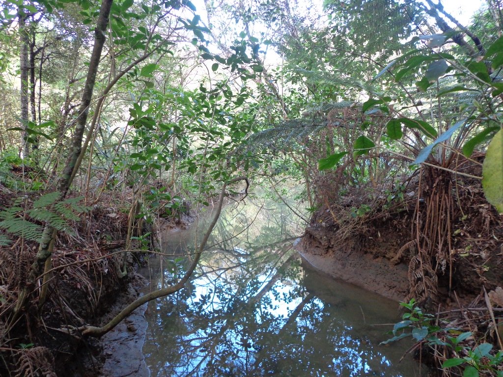
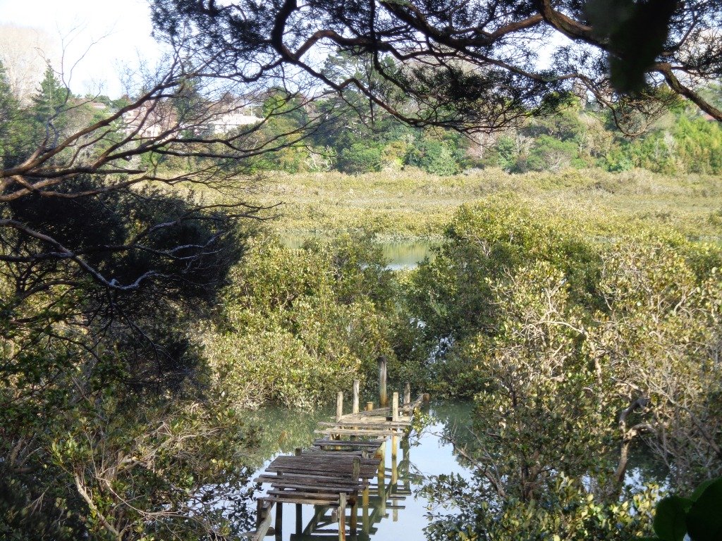
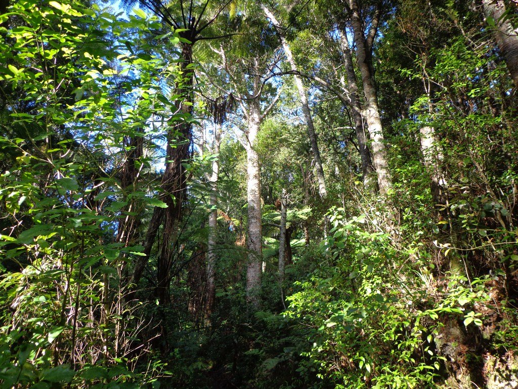
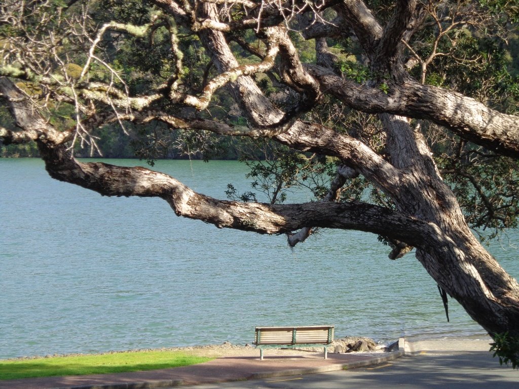
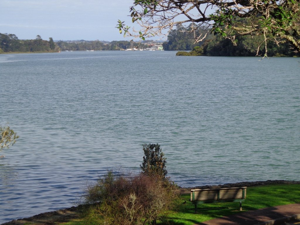
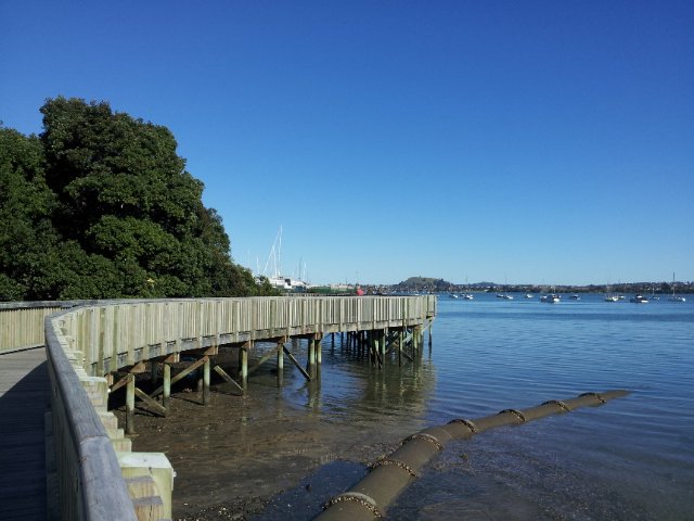
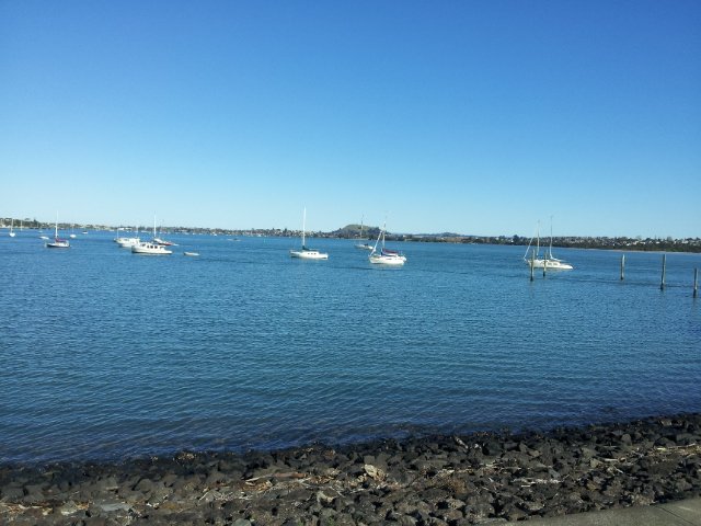
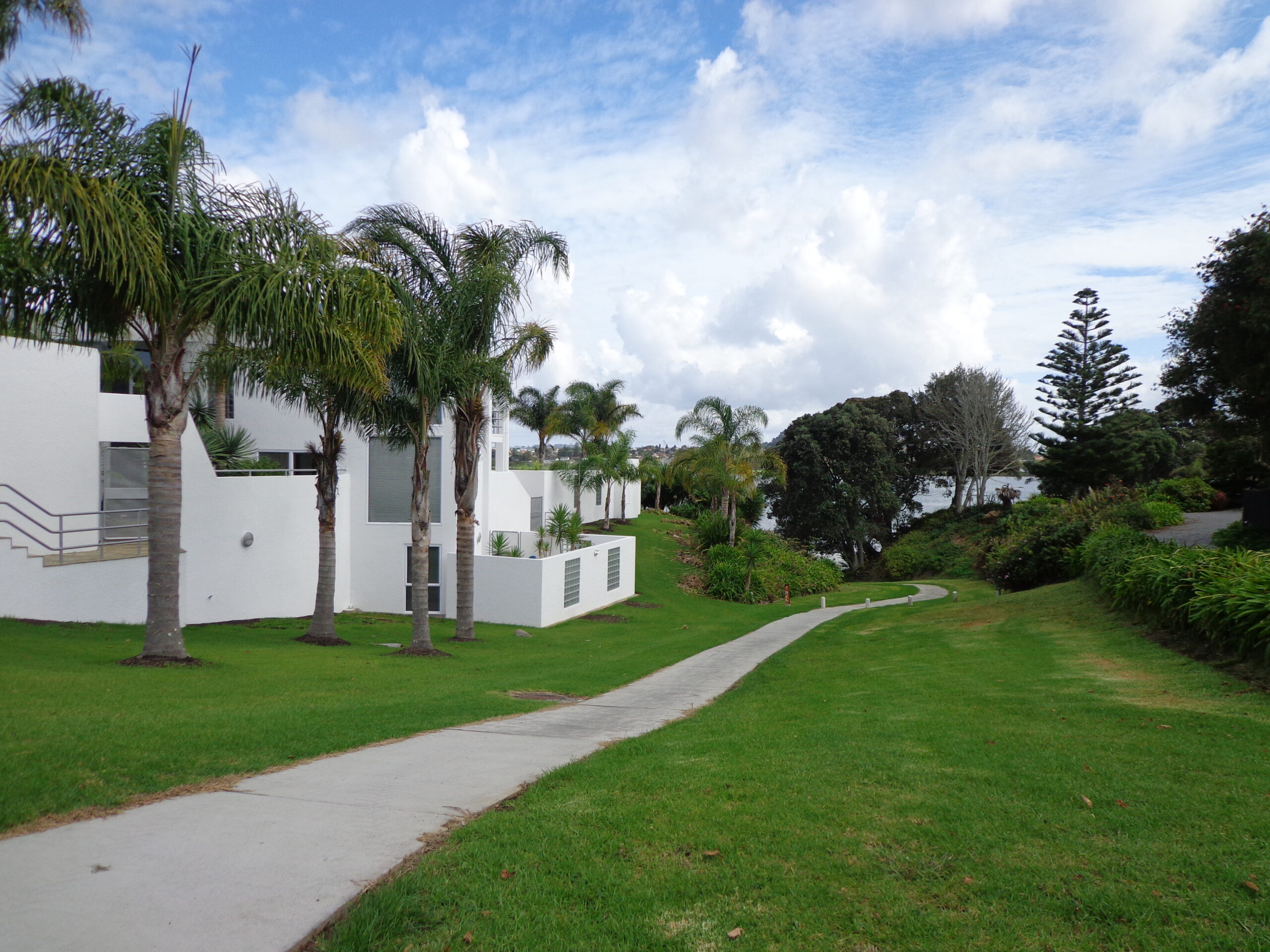
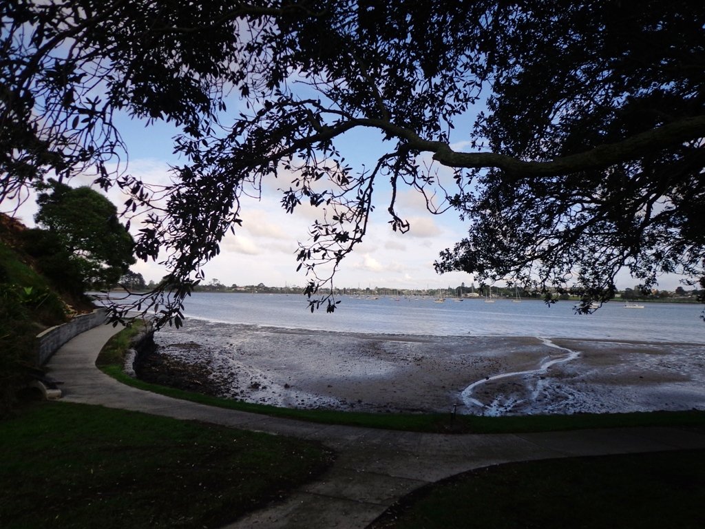
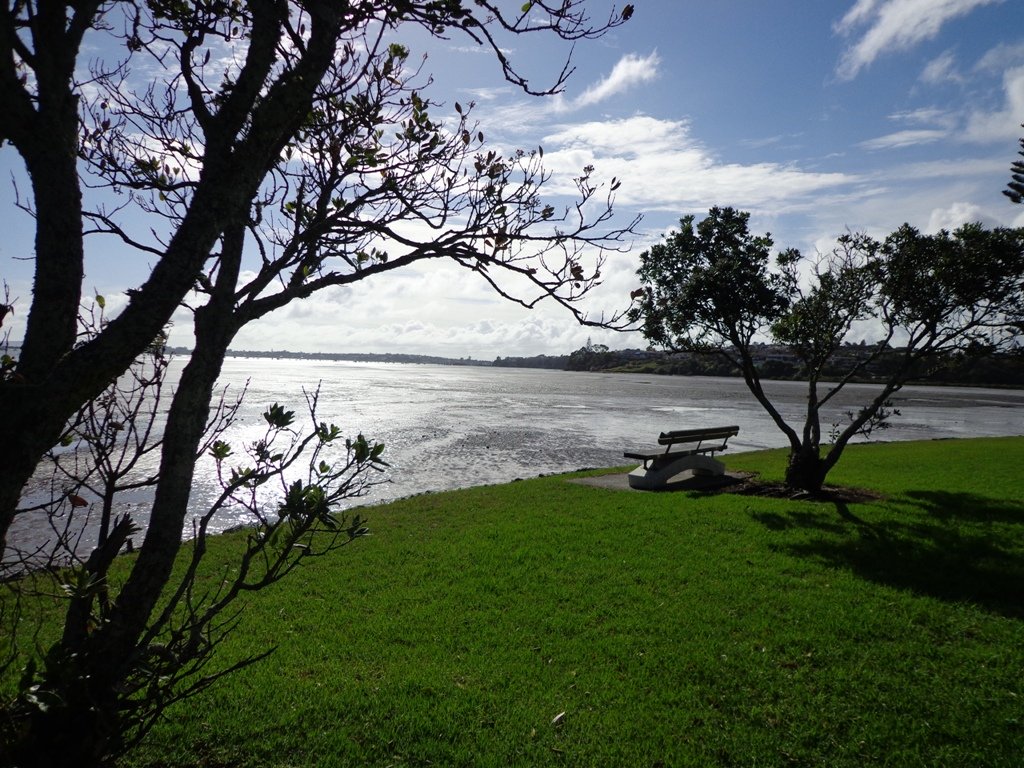
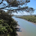
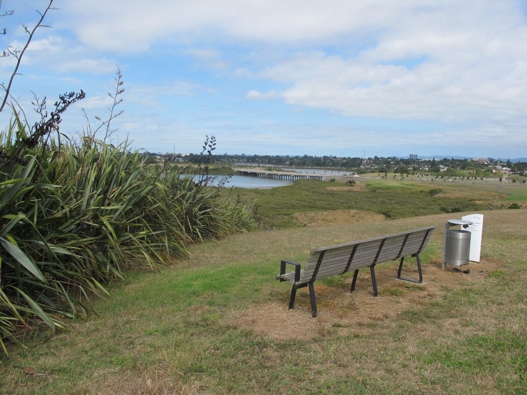
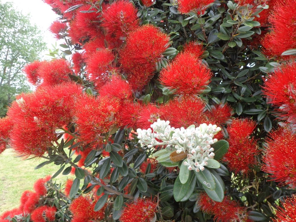
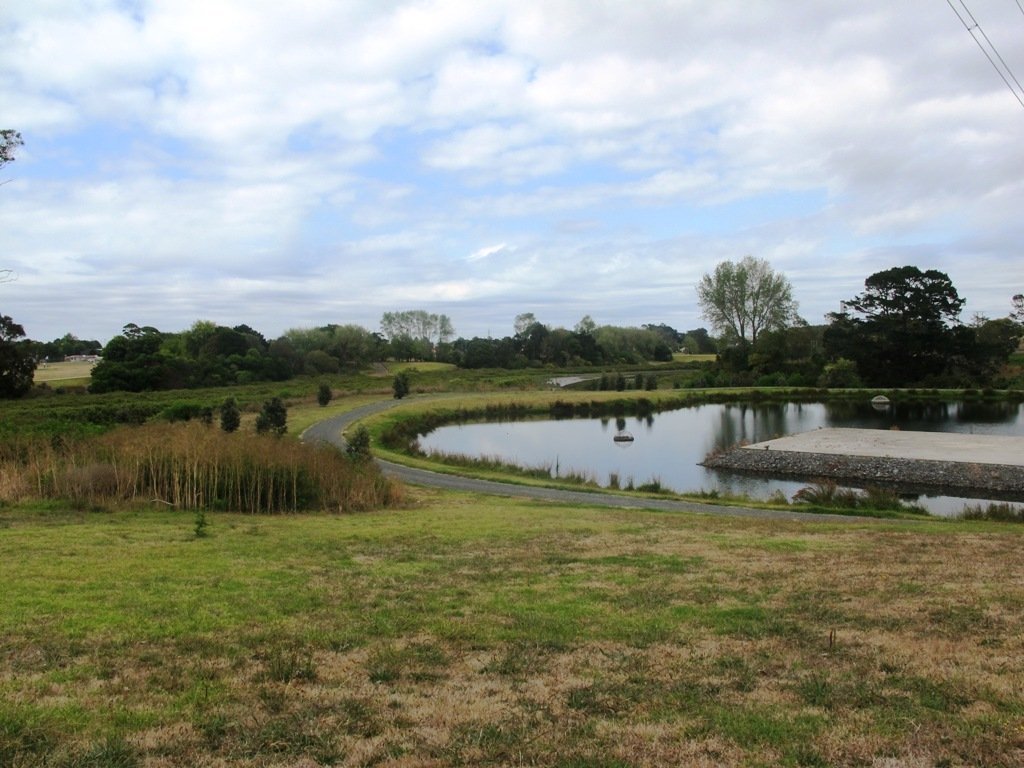
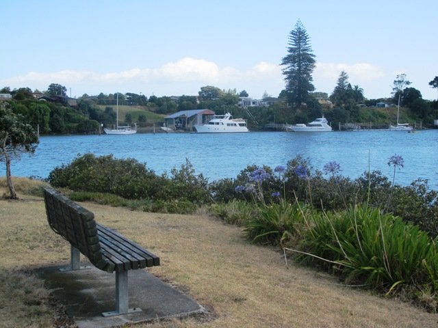
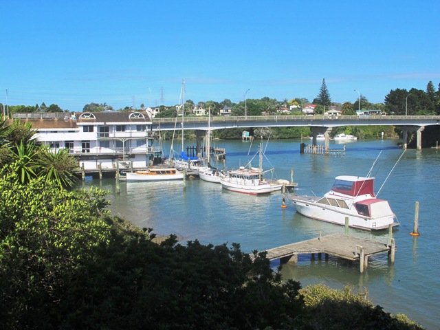
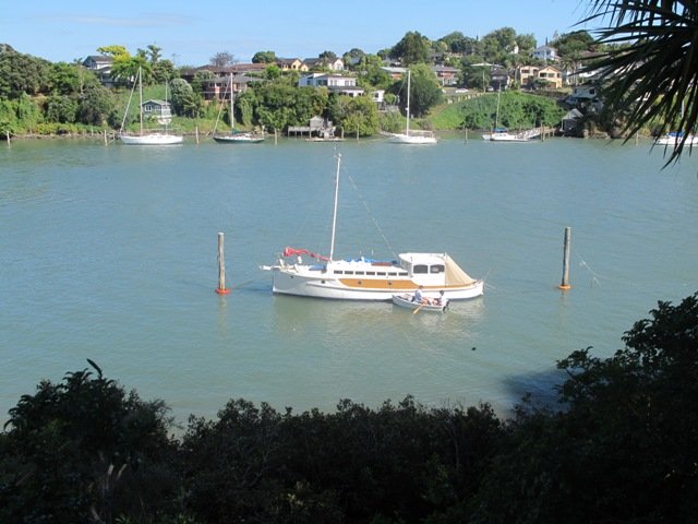
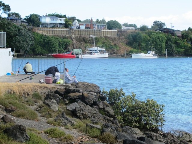
The walk takes in Manuka Reserve with views of the upper harbour, Hobsonville Point and native bush. Not only are there stands of manuka trees (tea trees) beside the estuary, but inland within Leigh Scenic Reserve, there are kauri trees and palms.

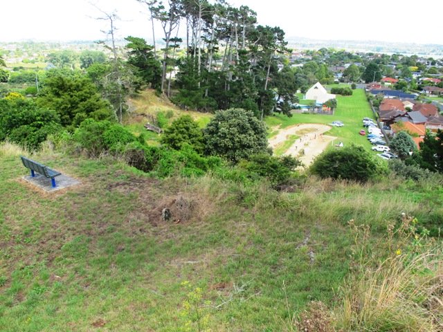
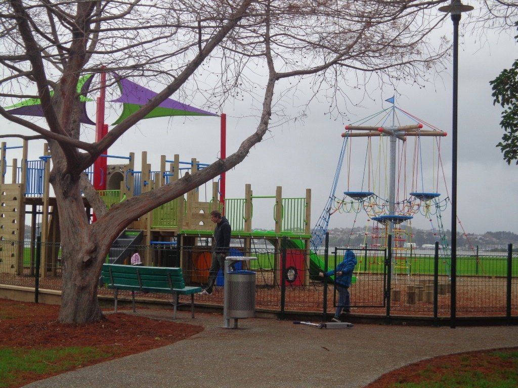
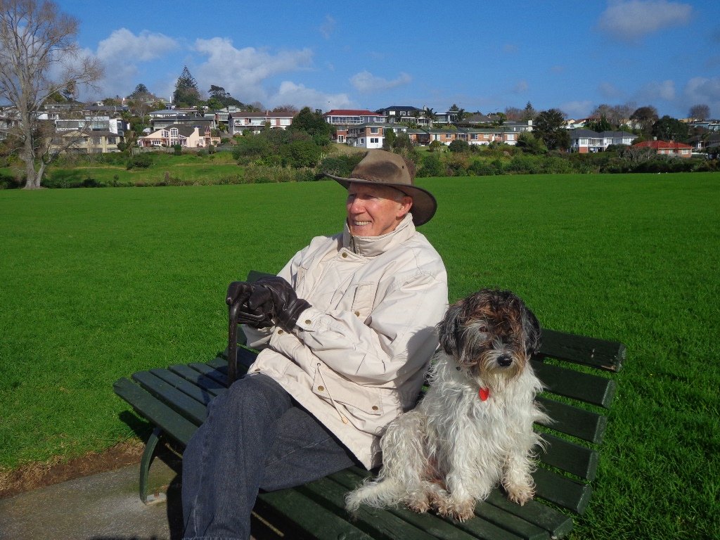
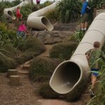
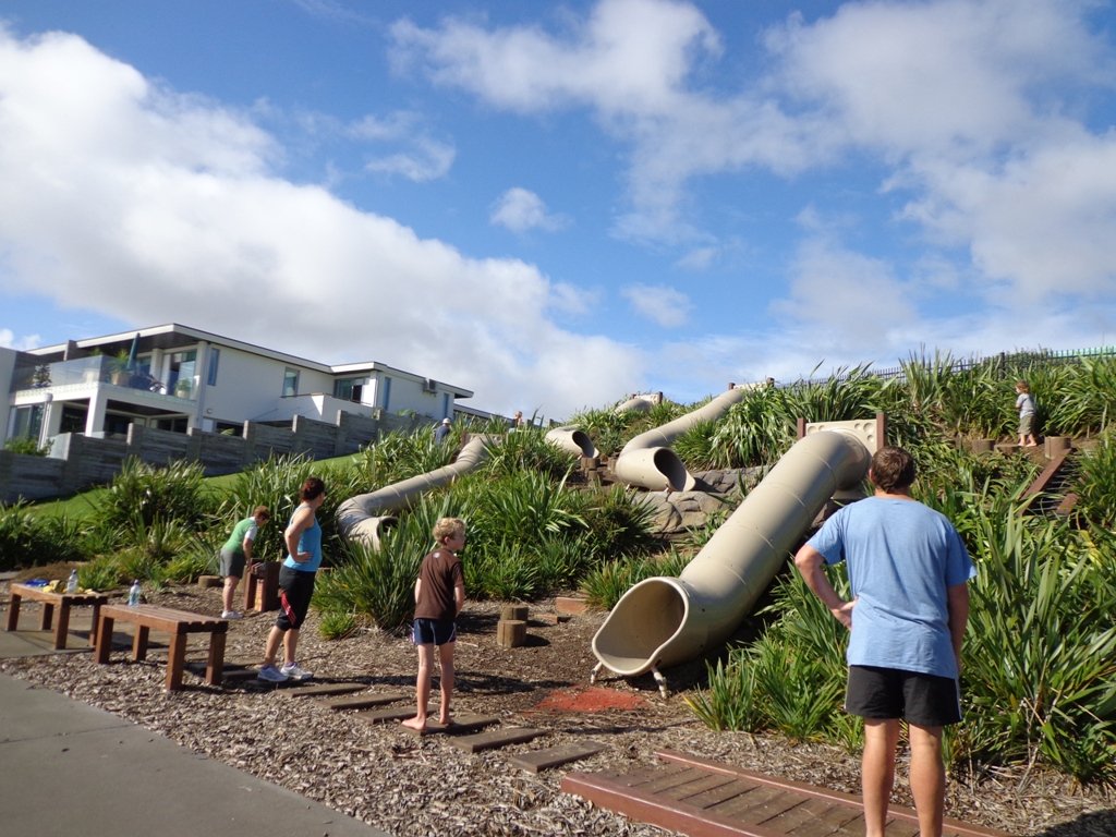
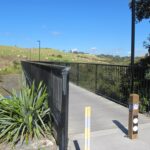
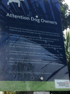
This circular walk is mostly bush with only a small section of street footpaths.  It is suitable for families, with two places to stop at playgrounds. Dogs must be kept on leash.

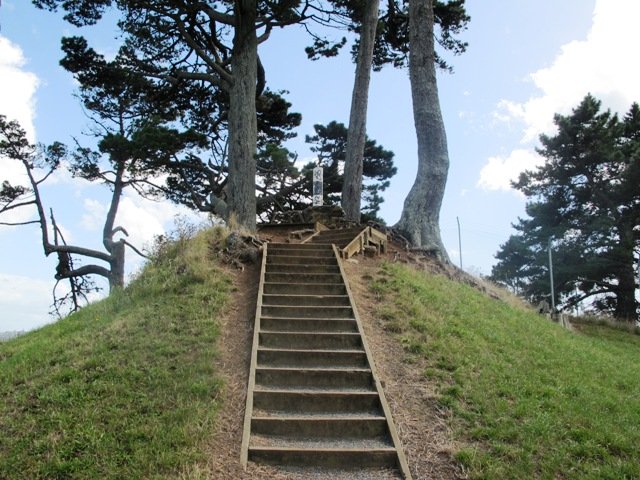
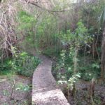
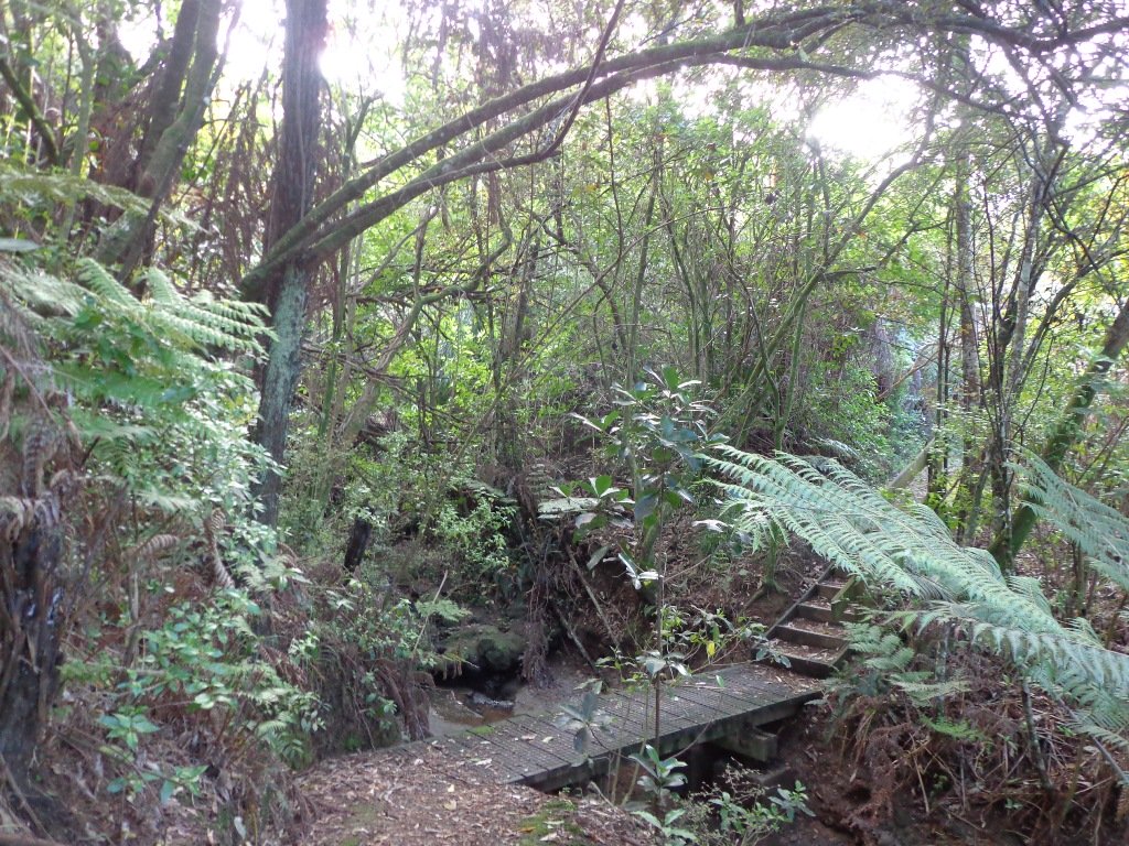
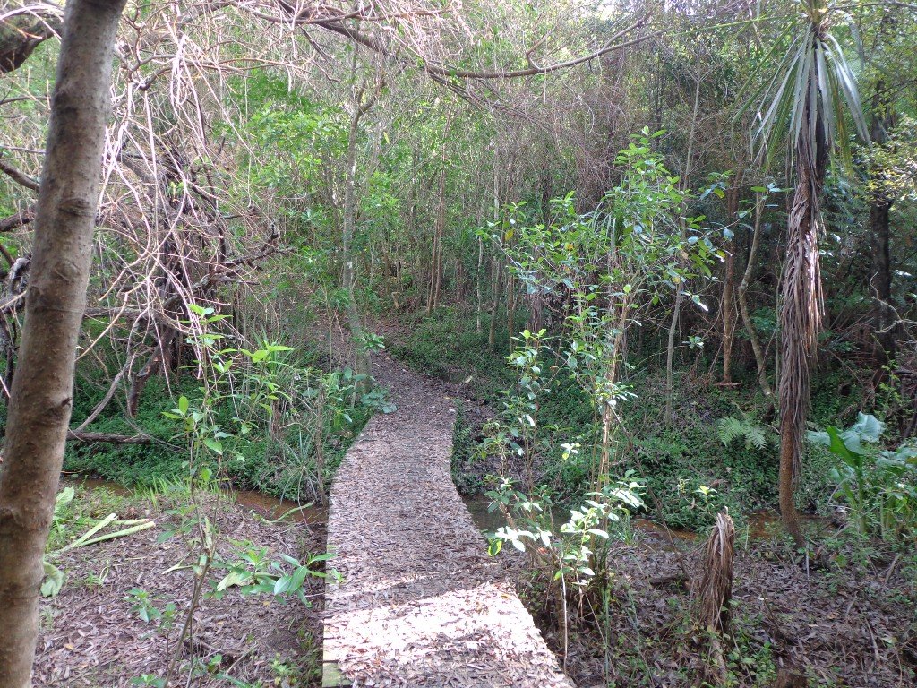
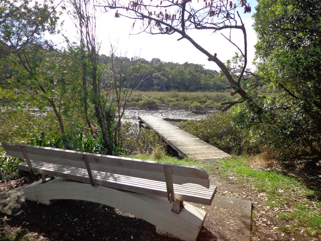
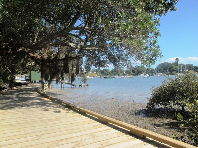
Description: Bush track, steps, inclines and board walks. Muddy in places when wet. Suitable for users of average fitness and mobility.
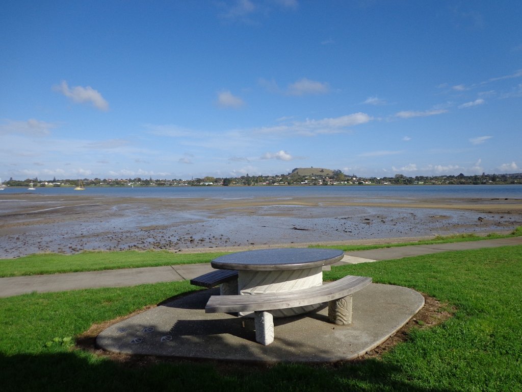
To see: Native bush, small waterfalls, views across Auckland Harbour to Hobsonville Point, native birds.
Time: approx. 60 minutes. (about 5.0 kms). Dogs on leash. Two childrens playgrounds.
Start: Lynn Road, Bayview near Glenfield. MAP

***Please note: September 2018 This track has been temporarily closed due to Kauri Dieback

Stay on track…get your detailed guide and map (AN-080 Bayview Bush Walk)over at our Walks Store  and our Book Store (one of 12 walks featured in our books “Urban Bush” and “Dog Friendly Walks part two”).

Half Moon Bay East

Half Moon Bay marina - ©2013 walksinauckland.com

This walk at Half Moon Bay explores the parks and reserves to the east, and then heads down to Eastern Beach. On a sunny day at high tide it is quite beautiful! The new-ish boardwalk, is a great finishing touch as you return to Half Moon Bay.

It was very busy at the Half Moon Bay cafes today – with many people out making the most of the sunny, warm weather and Mothers Day.

Description: Mainly level paths, steep steps and steep slopes. Suitable for users of average fitness and mobility.
To see: Views of Tamaki Estuary, marina, Eastern Beach Esplanade; views of Rangitoto, Mount Wellington and One Tree Hill
Time: approx. 75 minutes. (about 6.0 kms)
Start from: Half Moon Bay Marina  MAP

Stay on track…get your detailed guide and map (AE-072 Half Moon Bay East) over at our Walks Store  and our Book Store (one of 12 walks featured in our books “Coastal part 2” and “Best of the East”).


Pakuranga Farm Cove Loop

We have now added a fourth loop walk taking in the wonderful Pakuranga Rotary walkway. This 5kms loop walk follows the Tamaki Estuary through Farm Cove and explores the Sunny Hills suburban streets, with views of Mount Wellington and One Tree Hill.

You may wish to cycle the whole 5 kms of the Pakuranga Rotary walkway, or just stop and watch the tide on one of the many seats along the walkway.  Families may like to take a fun break on the snakes and ladders playground near the Bramley Drive entrance.

The walking route is also great for prams/buggies and dog walkers (on leash only).

Mon Bichon Cafe

We stopped for coffee at the French inspired deli/cafe Mon Bichon, a delightful surprise in the Farm Cove village shops. You could buy your pastries from here to take and eat beside the walkway…(update: sadly it is no longer there).

Description: Mainly level paths (with one small incline).  Suitable for users of average fitness and mobility. Suitable for cycling and push-chairs.
To see: Tamaki Estuary, Mangroves, white volcanic pumice deposits, views of Mount Wellington and One Tree Hill, residential homes
Time: approx. 60 minutes. (about 5 kms)
Start: Fisher Parade, Farm Cove Village  MAP

Stay on track…find this walk’s map and directions guide (AE-068 Pakuranga Farm Cove Loop) and other walk self-guides at our Walk Store and our Book Store (“Best of the East”)

Orewa Te Ara Tahuna shared path

Today we headed north out of Auckland to Orewa to walk around the Te Ara Tahuna shared path.  This cycleway/walkway encircles the Orewa Estuary for a distance of 7.58km.  It took us 1 hour and 45 minutes to walk it at a leisurely pace.

The tide was going out as we walked around anti-clockwise.  It is a diverse walk, starting from the car park by the Estuary Arts CentreMAP

Orewa Estuary

We walked past beautiful houses and gardens set along the path, crossed bridges, walked on the edge of farmland with picturesque bales of hay and past mangroves – arriving back to the view of the ocean along the Hibiscus Coast Highway.

Look out for all the different wetland birdlife. You will also see kauri trees, pohutukawa trees, cabbage trees and flax. There are picnic tables available at the Orewa end, as well as a skate park.  Benches provide views of the estuary and take the time to admire the beautifully carved wooden seats (six in total as of today’s date).

The cycleway is ideal for families with children who are competent cyclists.  The pathway is a mix of concrete, bitumen and loose gravel.  Be sure to have snacks and drinks with you to keep up the energy levels. And if the weather is appropriate, take beach gear for a refreshing swim afterwards.

There are now public toilets at MetroPark in Millwater (about halfway round) and a coffee lounge,dairy and other shops at the Millwater Parkway shops.

We stopped off at Olivers for a delicious lunch accompanied by a wonderful musician.

Download the Auckland Transport Te Ara Tahuna Estuary Map or pick up a free map from the Orewa Citizens Advice Bureau.

Highbrook Park Loop

If you have been out to Highbrook Business Park in South Auckland, you may have noticed a walkway along the waters edge to the north.  This has intrigued my friend and I for some time, so today we set out to explore and work out a way to include it an interesting circular walk.

Mission accomplished and rewarded with a delicious iced coffee at Highbrook Park’s Sierra Cafe! **Update December 2014** There is now a further selection of cafes and eateries at The Crossing (we had coffee at The Light Horse).

IMG_4918

According to “Volcanoes of Auckland, the Essential Guide” Highbrook was developed as a racehorse stud farm before it was converted to a business park. The explosion crater’s proper name is Pukewairiki which means “the hill with the associated small lagoon”. The crater floor is now salt marsh and mangrove forest.

The pathway along Highbrook Park is safe for family cycling. This walk does not include a playground and would be suited for older children.  Look out for the pohutukawa blossoms early summer. There is an off-leash dog exercise area on the Otara Creek (south) side of this walk.

Description: A mix of level and slightly hilly paths. Suitable for users of average fitness and mobility.  Suitable for mountain bikes.
To see:  Pukekiwiriki Crater, wetlands, views of Tamaki Estuary, Otara Creek, Pakuranga Creek, Mount Wellington and other volcanoes,  Highbrook Model Airpark.
Time: approx. 75 minutes. (about 5.8 kms)
Start: Business Parade North, Highbrook  MAP

Stay on track…get your detailed guide and map (AS-063 Highbrook Park Loop) over at our Walks Store  and our Book Store (one of 12 walks featured in our books “Dog Friendly Walks part 1” and “Best of the South”).

Pakuranga Loop walk

Part of our Pakuranga Loop Walk is along the  Pakuranga Rotary Walkway which currently extends to Pigeon Mountain, along the Tamaki Estuary and Whakaaranga Creek. 

Pakuranga walkway

It is a safe cycling, jogging and walking route. The walkway is paved and relatively flat, making it suitable for wheelchairs, pushchairs and a range of fitness levels. The walkway along the estuary is safe for family cycling.

dog off leash sign - Copy

The walking route is also great for prams/buggies and dog walkers (on leash). There is an off leash dog exercise area
along the Pakuranga Rotary Walkway between the Panmure Bridge and Waakaranga Reserve which permits dogs off-leash under the owners control. This is a huge off leash walk but most people do not know about. This sign can be found at the entrance to the walkway at Kerswill Place. See Auckland Council dog rules.

These flat river plains were used to grow oats, hay and wheat up until the 1950’s.   Pakuranga was then known as “the granary of Auckland”.

This walk section looks into the mouth of the Panmure Lagoon from the opposite bank.

Description: A mix of level paths and slightly inclined paths. Suitable for users of average fitness and mobility.
To see:  Estuary views, boats, wetlands, residential housing,  Mt Wellington, Pakuranga Mall
Time: approx. 40 minutes. (about 3.75 kms)
Start: Pakuranga Mall  Map

Stay on track…find this walk’s map and directions guide (AE-057 Pakuranga Loop) and other walk self-guides at our Walk Store

Click on the photos below to view in full screen.

Mangemangeroa Reserve walking track

walks in AucklandThe Mangemangeroa Reserve track was a totally new discovery for us today. I was  aware of it’s existence (and my awareness was raised further by my friend Isabel).

Today this coastal bush walk was an initial explore.  We concluded that it cannot be made into a circular walk however it is a beautiful magical place to walk, so we will be returning to document it fully. Yet again we hit the familiar snags, lack of sign posting – so we shall endeavor to keep fellow walkers on track with clear directions.

Today we met a couple at Shelly Park Beach who had walked from Howick Beach to Hayley Lane and were on their return journey. They had been walking for 31/2 hours to that point.

The views from the top of the ridge down the valley to the estuary were stunning, the bush was peaceful, and it was still and beautiful down by the water’s edge at Shelly Park Beach and the yacht club.

Download the Auckland Council brochure here.

I also suggest if you have the time that you pop into Howick Village markets which are held every Saturday morning. There is also a Sunday craft marketat All Saints Community Centre in Cook St check here for details.

walks in Auckland

How to get there: Southern Motorway to South Eastern exit. Follow Route 10 to Ti Rakau Drive, turn right and keep going past Botany Town Centre to its end. Turn left onto Chapel Rd, right onto Whitford Rd then hard left onto Somerville Rd. (MAP)

A walkway runs through native bush, past mudflats stretching along the estuary to Cockle Bay. Or walk through paddocks dotted with cows. Ferries used to manoeuvre through the creek but now it’s home to mangroves, crabs and hosts of birds. Beautiful lookouts and picnic spots. Dogs are allowed on a leash, except on the shoreline during bird breeding season, where they’re banned.

Pigeon Mountain and the Wetlands Loop Walk

Pigeon Mountain in the suburb of Half Moon Bay is another of Auckland’s volcanoes.  The mountain was originally three times its present size but its two craters have been quarried away to provide scoria. It is called Pigeon Mountain because in early European times, native pigeons called ‘kereru‘ used to live here.

Walks in Auckland
View from Pigeon Mountain

You can walk to the top of Pigeon Mountain and from the summit there are great views of Tamaki Estuary and Wakaaranga Creek Reserve mangroves, whilst below are boardwalks that cross over wetlands that house nests for the pukeko bird.

Follow the link to the Google Map of Pigeon Mountain and the associated  Wetlands walk.  We also have a second walk option for these areas here. 

Follow this link for the Short walks In Auckland alternate Pigeon Mountain Walk.

walks in Auckland

The nearby mangrove edged Wakaaranga Creek has good paths for wheels.  And there is a cool long slide in a playground that is worth checking out. Because most of this walk is in a bird reserve, dogs must be kept on-leash. However if you choose to follow the 5km Pakuranga Rotary walkway, there are several areas for off-leash exercise between the Pakuranga Sailing Club and Wakaaranga Reserve. This is a mostly flat walk if the walk to the summit of Pigeon Mountain is omitted.

Be aware that some pathways between houses and roads are iron bar chicanes that make it more difficult for wheelchairs, prams and cycles using the path.

Description: A mix of level paths, steps and slightly inclined paths. Suitable for users of average fitness and mobility. May require boots in wet weather, running shoes suitable in dry weather.
To see: Auckland City views, Rangitoto Island views, Volcano summit, wetlands, Pukeko birds habitat.
Time: approx. 75 minutes. (about 6 kms). Allow extra time to walk to the summit of Pigeon Mountain.
Start from: Gills Road just off Pigeon Mountain Road MAP

Stay on track…get your detailed guide and map over at our Walks Store  (AE-033 Pigeon Mountain and the wetlands) and our Book Store ( one of 12 walks featured in our books “Volcanoes” and “Best of the East”).

Churchill Park Loop

Churchill Park is one of a few walks in Auckland that does not have much shelter, so it was a great day to get into the park, with a pleasantly  warm sun and no rain.

The walk starts off going uphill and there are further gentle undulations – it fits the ‘fitness’ criteria! There is some variety – big pine tress, distant city skyline views, a path following a stream (where the Nikau Palms were showing off their red berries), a few cattle taking up what shade they could find and then once out of the park the fabulous views over the harbour and estuary.

Churchill Park, Glendowie Park and Roberta Reserve all have an off-leash dog exercise area and today there were dog owners taking advantage of the weather.

For children, there is an attractive playground area at the walk start and end point. Update June 2014: A recent redesign and reconstruction has transformed Roberta Reserve playground into a series of exciting, safe play spaces
for kids of all ages. For more adventurous youngsters, the park’s large colourful rope fort, eagle’s nest and swing basket are a real highlight.

Description:A mix of level paths, and a few steep paths. Suitable in dry weather. Suitable for users of all ages and abilities, suitable for normal footwear and for wheelchairs and pushchairs. May be muddy in places during the winter months.
To see: Sea views, city views, stream, private gardens, farm animals
Time: About 5kms (approx. 60 minutes).
Start: On corner of Robert Ave and Riddell Road. MAP
Playground: Corner of Riddell Road & Roberta Ave

Suggested Café: Ronnies Café, Corner of Riddell Road and Roberta Avenue (they do great iced coffees and date scones!)

Stay on track…get your detailed guide and map over at our Walks Store  (AE-007 Churchill Park) and our Book Store (one of 12 walks featured in our books “Coastal part 1”, “Dog Friendly Walks part 1” and “Best of the East”).