Tag Archives: Wheelchairs

Coastal Rotary Walkway Pakuranga

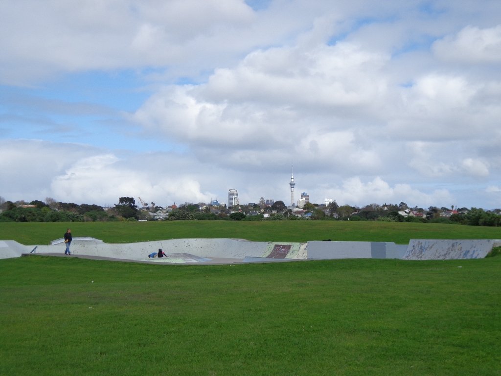
One of East Auckland’s most scenic and popular walkways, the coastal Rotary Walkway in Pakuranga is a most do! It winds its way along the verge of the Tamaki River from Panmure Bridge, eventually finishing at Halfmoon Bay (via a few extra streets and paths).

The distance is 10.5km one way, so a significant walk if you are to do the return trip, but well worth it! There are plenty of options to complete portions of the walkway also and our Google Map will display all the possible entrances/exits along the Rotary Walkway. You will also find the Map will assist you greatly in navigating the Halfmoon Bay section of the walk.

Rotary Walkway
Rotary Walkway: photo from Auckland City Council

This walk is suitable for bikes, buggies and wheelchairs, so great for any person/family, although at the halfmoon Bay end of the adventure there are a couple of flights of pretty steep stairs.

Walk Time1 – 5 hours (10.5km one way)
SurfacePaved and Boardwalk
Difficulty1 – 2 – the first 8.5km is mostly flat and on the Rotary Walkway. The final 2km has hills and stairs as it traverses through various streets and walkways to Halfmoon Bay.
Buggies/WheelchairsExcellent walkway for buggies & wheelchairs. The final 2km towards Halfmoon Bay will present some challenges, especially the stairs at the far end of Eclipse Place.
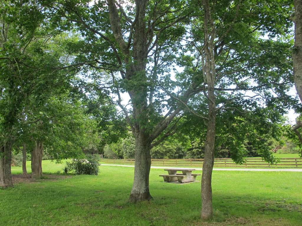
FacilitiesPlayground, Fishing, Swimming, Toilets, Water, Seats, Picnic Tables
HighlightsCoastal, Views, Great track, Boardwalks over the water and through mangroves.

Click to open the Google Map in a separate tab or tap on the icon in the top right of the map.

Rotary Walkway Description

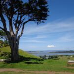
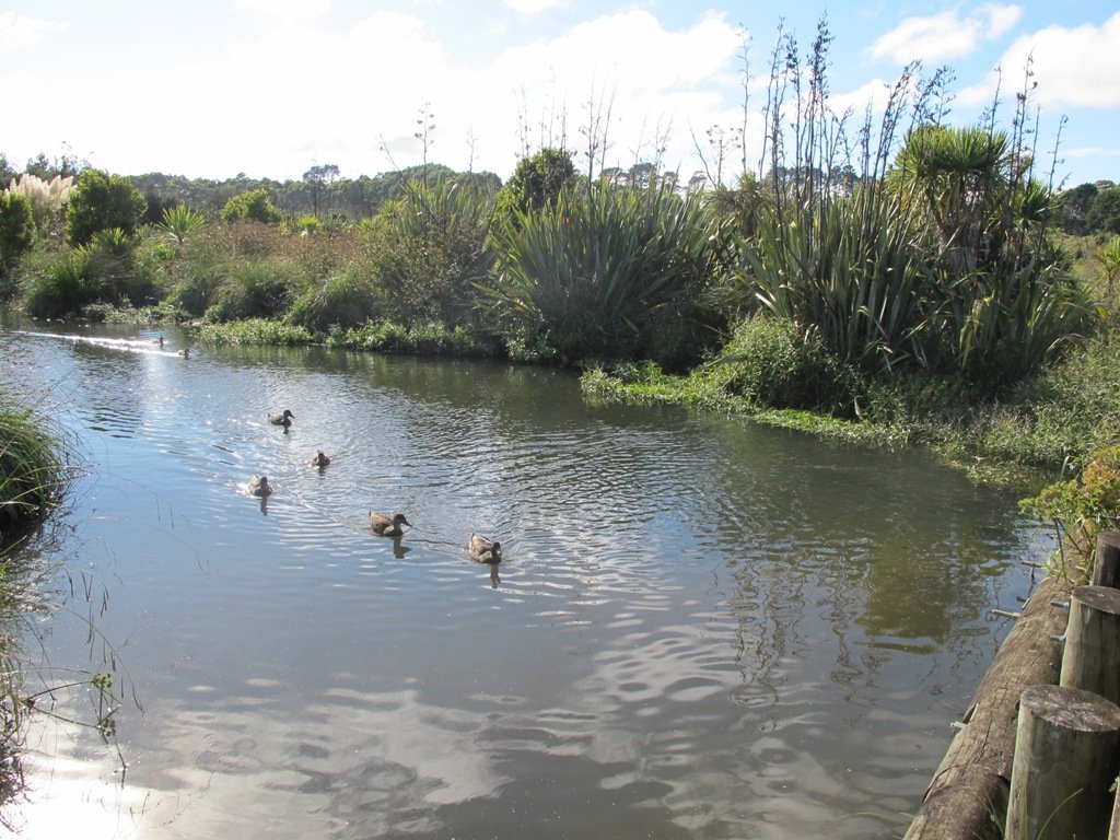
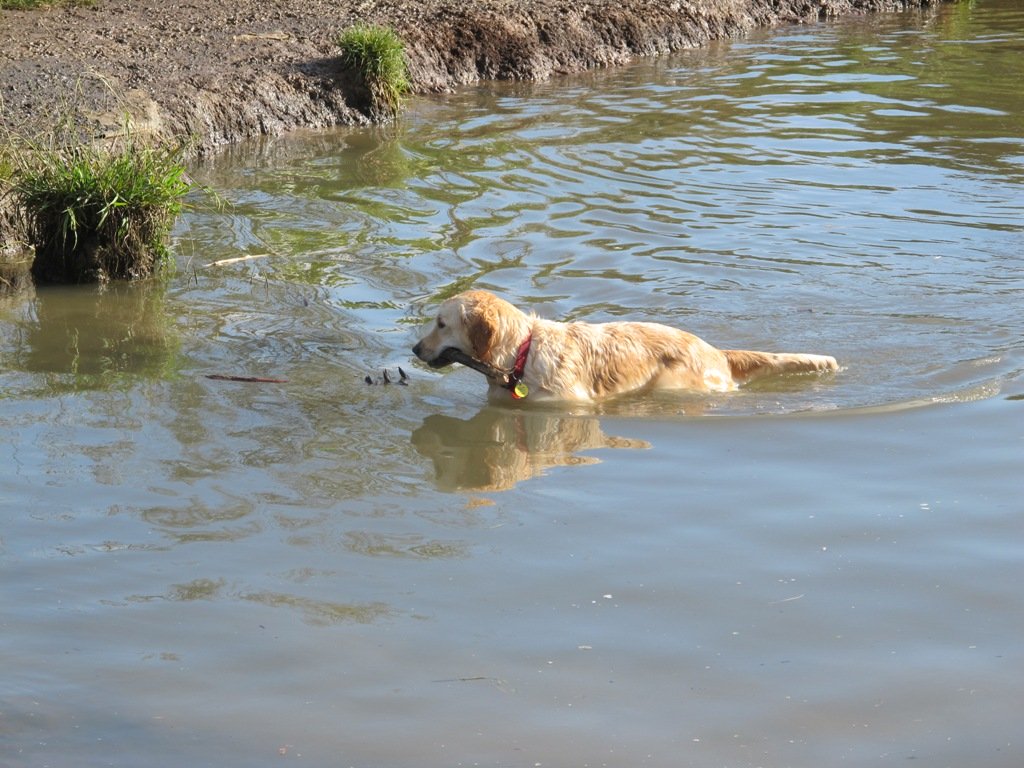
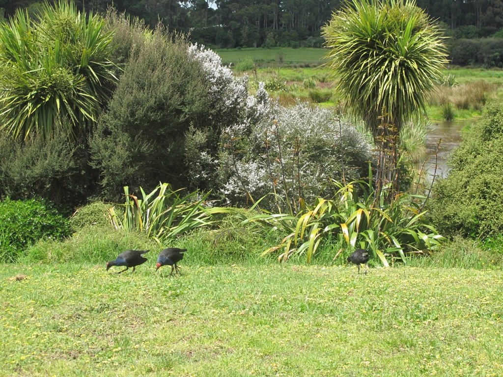
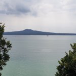
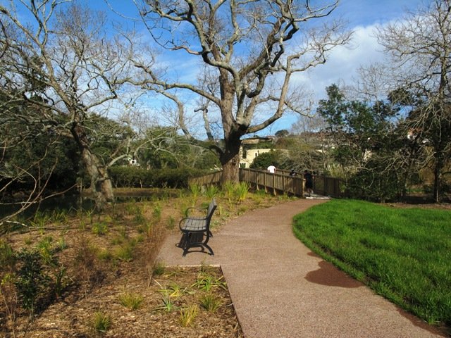
One of Auckland’s great walkways, this purpose built coastal path hugs the east-side of the Tamaki River from Panmure Bridge to Halfmoon Bay. The track winds its way in and out of pretty inlets, with boardwalks traversing through bush and mangroves. Enjoy the sea-breeze, water views, bird life and opportunities presented by the famous ‘snakes & ladders’ playground or some land-based fishing.

Pakuranga Rotary Walkway
Paved Rotary walkway Track

There are many places you can commence this track and a lot of options for varying length walks. The Google Map clearly shows the various entrances to the path if you want to create your own loop walk. However, the complete 10.5km walk is full of highlights and worth the effort, even if it means completing it return for a 21km half marathon! The alternative is to drop a vehicle at each end of the walkway.

We have walked, run and biked this track on a many occasions – it is definitely a favourite. We normally commence at the Panmure Bridge end, especially as the first few kilometres contain so much variety, interest and beautiful coastal scenery.

Please note: Currently there are extensive roadworks around Panmure Bridge for the new busway and so parking by the bridge is closed. The best access will be via Kerswill Place or further along via Riverlea Ave.

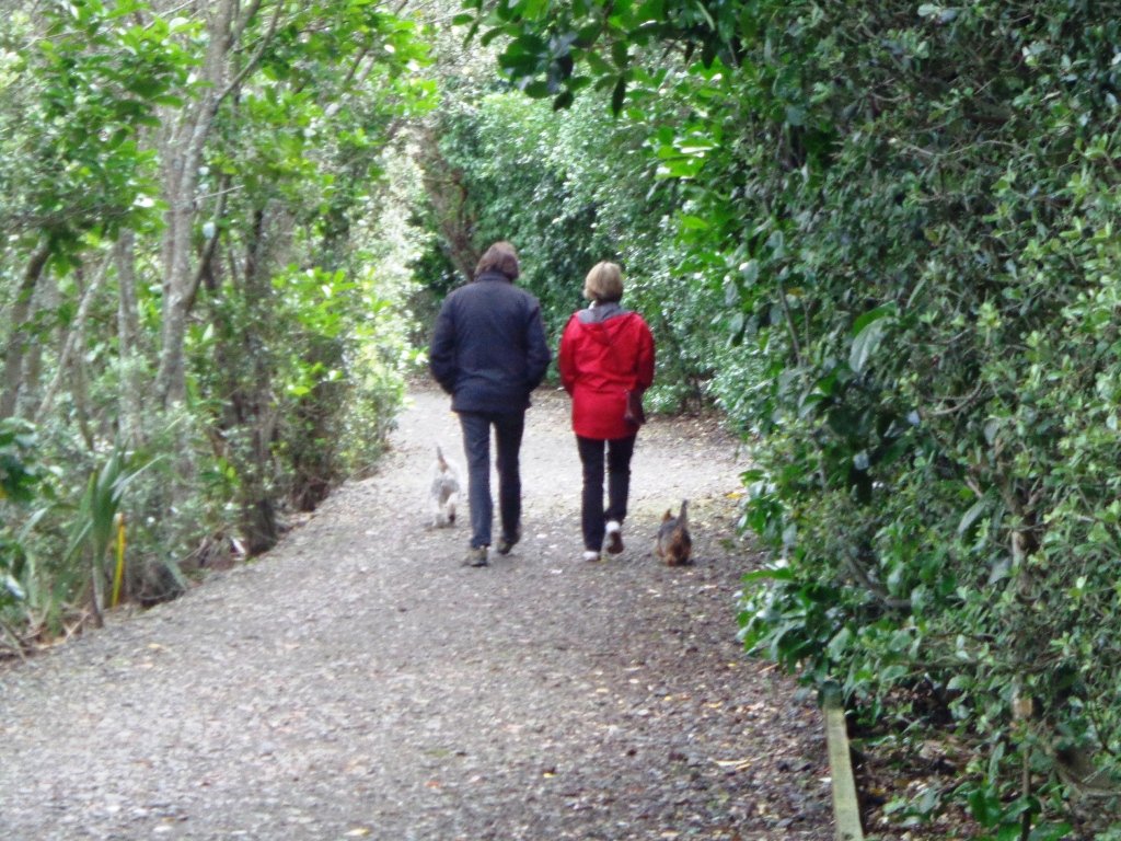
Once strolling along the walkway, you will wind your way along the foreshore, mostly on paved undulating track. This paved track is interspersed with boardwalks that venture over the water and through the mangroves, at high tide you are walking just a little above the lapping water. The hills on this section of track are small but add interest to the first 2-3 km The middle section of the track is almost completely flat as it circumvents the coastline.

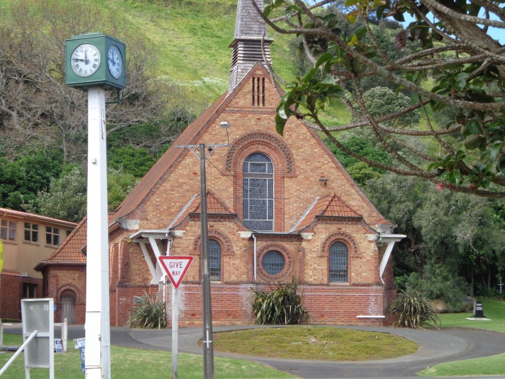
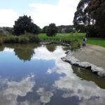
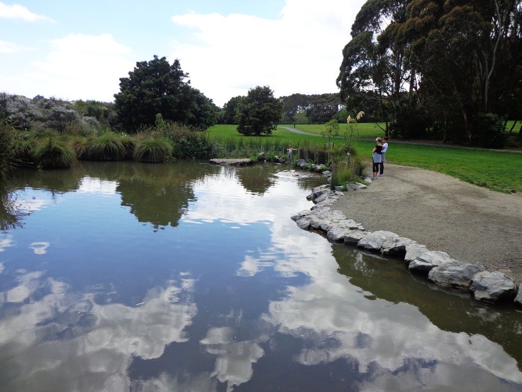
After passing your way around the second significant inlet, the impressive St Kentigern College campus will be on your right and you pass their rowing jetty on the left. The next significant landmark is the Farm Cover Reserve where you will find toilets and water. 150m past the reserve is the famous ‘Snakes & Ladders Playground’ – worth a visit even if you don’t have kids with you!

Farm Cover Snakes & Ladders Playground
Farm Cove Snakes & Ladders Playground

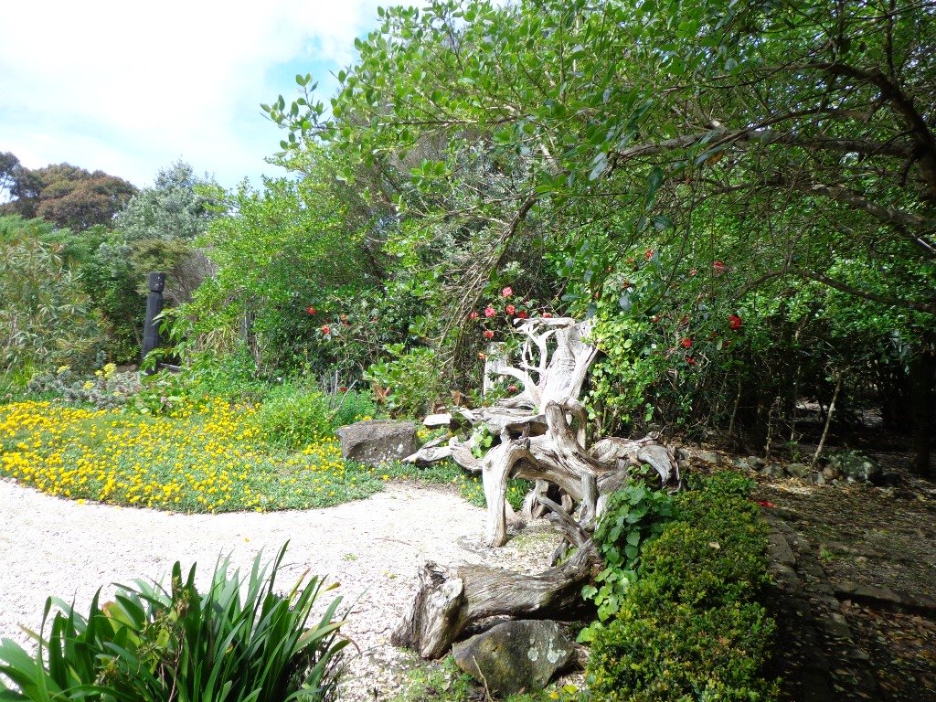
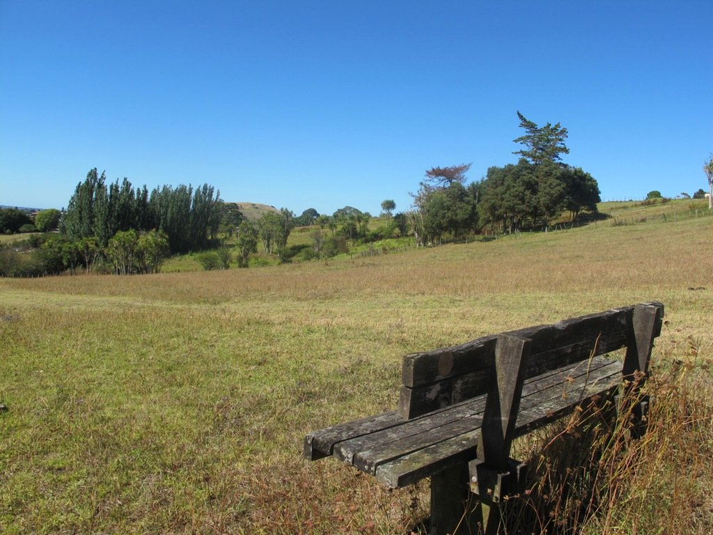
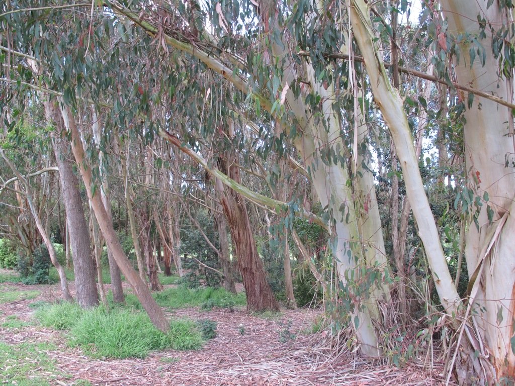
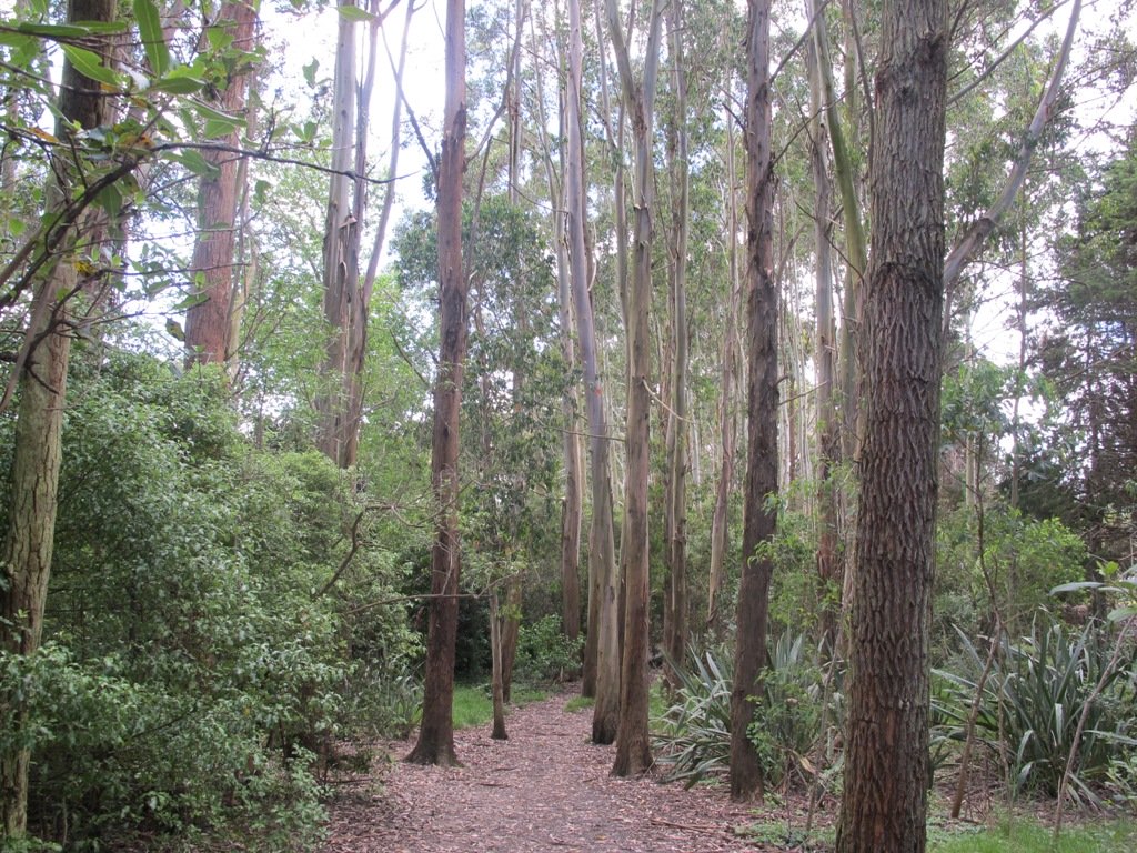
Another significant inlet follows the playground as you wind your way towards Wakaranga Creek Reserve. This is another beautiful section with lovely houses, mangroves, pockets of bush and eventually opening to the green spaces of the Reserve.

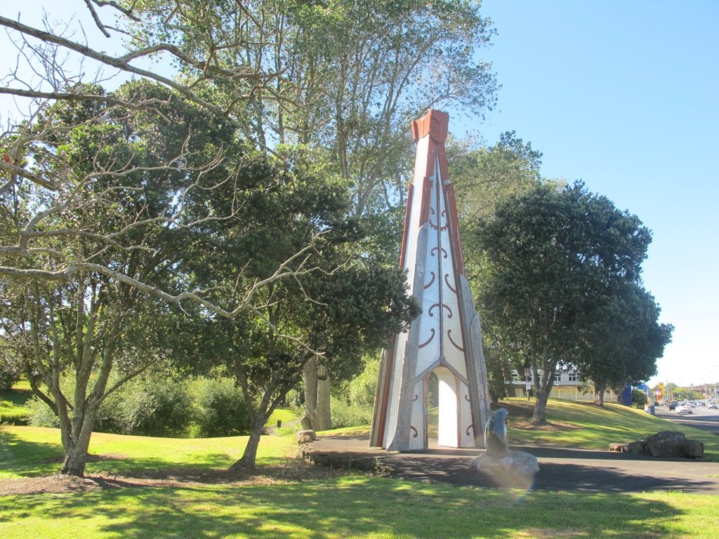
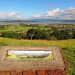
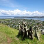
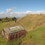
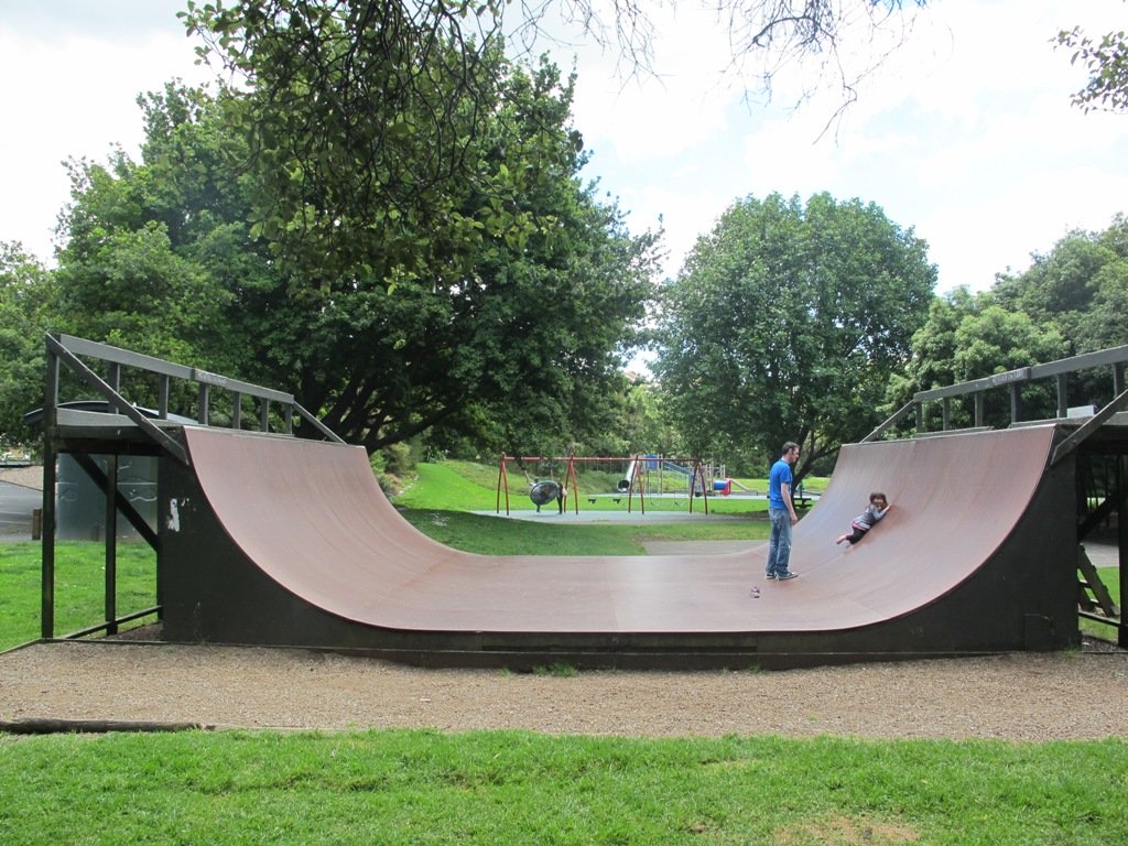
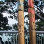
A short detour from the Rotary Walkway takes you to the Prince Regent Playground, best known for its long tube slide. Another 250m – 300m through Pigeon Mountain Wetlands and you can visit Pigeon Mountain for a spectacular view of the local area and Auckland isthmus!

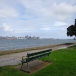
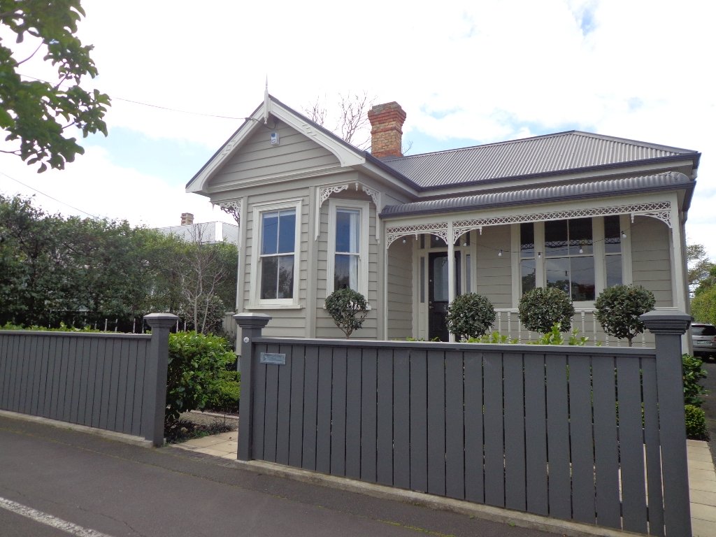
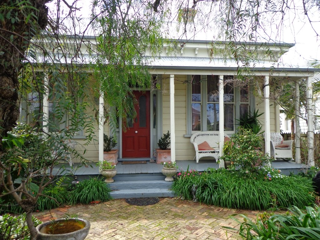
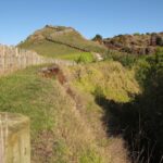
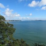
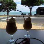
Pass through Wakaaranga Creek Reserve and take the western exit to Curacao Place. The trek now leaves the Rotary Walkway and traverses a series of quiet streets and walkways across the clifftop of the Halfmoon Bay suburb. Enjoy the varied views across the city and Waitemata Harbour, as well as many beautiful homes. This approximately 2km section takes you to the Halfmoon Bay marina, shopping centre and wharf. Enjoy a refreshing ice cream at Delishimo. There are also a range of restaurants at Halfmoon Bay if you want to stop for lunch before starting a return journey!

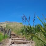
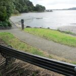
The track across the last 2km to Halfmoon Bay has a lot of variety. Once completing the various streets, a flight of stairs takes you back to a track that hugs the coastline and clifftop. There are stairs heading down form the end of Clyside Ave, with a semi-accessible small beach just off the track. Another set of stairs climbs back up to the clifftop track – continue along here until you reach the stairs down to Halfmoon Bay.

You are here! Enjoy the ice cream, restaurants and other services. This is also where you catch the ferry to Auckland City or Waiheke Island.

Rotary walkway Elevation Map

Rotary Walkway Elevation:
Panmure to Halfmoon Bay

Additional Links:

Rotary Walkway Google Map

Snakes & Ladders Playground

Delishimo Ice Cream Shop

Restaurants in Halfmoon Bay

Busway Construction Updates

Waiheke Island Ferry

Ferry to Auckland City

Devonport Ngataringa Loop

Devonport © 2011-2013 Unleashed Ventures Limited

With the weather looking uncertain and the wish to keep our shoes out of the mud, today we headed over to one of our favourite places to walk in Auckland – Devonport. We were uncertain of where we were headed, and as it turned out, we were very pleasantly surprised at how well our circular route revealed itself.

As always, it is uplifting to walk along the esplanades and parades of Devonport with the view across the Gulf and to the skyline of the city and beyond. And then the joy of looking at the beautifully kept Victorian style homes.  Followed by the sounds of birds as we walked alongside Ngataringa Park.

Dogs – off leash exercise area in Ngataringa Reserve.

We are then spoilt for choice as to where to stop for refreshments, and choosing from the many cafes can take time!

Description: A mix of level paths, steep paths and steps. Suitable for most ages and levels of fitness and mobility, designed with flat shoes or running shoes in mind. Not suitable for wheelchairs and pushchairs.
To see:  Hauraki Gulf and Auckland City views, historical buildings, Victorian style homes.
Time: approx. 60 minutes (about 5.5 kms).
Parking:  In Devonport Village near ferry terminal or along King Edward Parade. MAP

Stay on track…find this walk’s map and directions guide (AN-089 Devonport Ngataringa Loop) and other walk self-guides at our Walk Store

Apirana St Johns Loop

This walk makes use of the reserves within walking distance of Glen Innes Train Station. We visit the horse paddocks of Apirana Reserve with views of Mount Wellington, Eastern Beach and on a clear day, the Coromandel (this is part of the 7.5km  Point to Point Walkway) and then walk through the native bush within St Johns Bush.

Apirana Reserve is part of the Point to Point Walkway

St Johns Bush is a green corridor for birds flying across Auckland.  There is a wetland area with native fish.  This area is home to over 165 different species of plants.  The kauri tree is over 150 years old.

Joining up reserves to minimise street walking is a challenge, but we are very fortunate to have so many green spaces in Auckland. Our dream is that some time in the future, the reserves will be linked together to help us commute safely by bicycle or on foot (and hopefully wheelchairs), from one area to another, minimising road use.

Dogs- off leash exercise area in Merton Reserve.

Description: A mix of level and hilly paths. Suitable for users of average fitness and mobility.
To see: St Johns Bush native trees and ferns, residential housing, reserves, horse paddocks,views of Eastern Beach and the Coromandel, city skyline view
Time: approx. 60 minutes. (about 4.5 kms)
Start: Glen Innes Train Station  MAP

Stay on track…get your detailed guide and map over at our Walks Store  (AE-061 Apirana Saint Johns Loop) and our Book Store (one of 12 walks featured in our books “Dog Friendly Walks part 3” and “Best of the East”).

Mangere Mountain Walk

walks in auckland

I have driven past Mangere Mountain many times without realising where it was. I knew of it, but hadn’t seen it. I discovered it last year and found that it’s a huge and unspoiled volcano with fabulous views across the Manukau Harbour. Mangere Mountain has little exposure from the motorway to the airport, but on it’s western side it looms high (106 metres above sea level), from the Harbour shores. This volcano does not have paved paths and roads like Mt Eden or One Tree Hill. It erupted about 18,000 years ago and is in the most original condition.

Dogs – on leash.

Other Mangere WalksMangere Bridge to Onehunga LoopAmbury Park Farm WalkMangere Esplanade Loop

Nearby places to visit: Watercare Coastal walkway, Ambury Regional Park, Villa Maria Winery and cafe, Butterfly Creek,  Otuataua Stonefields historic reserve , Mangere Strawberry and Vegetable Farm @ 127 Kirkbride Road.

Description: A mix of level paths and steep paths. Caution: Muddy and slippery when wet. Suitable in dry weather. Suitable for most ages and levels of fitness and mobility, designed with flat shoes or running shoes in mind. Not suitable for wheelchairs and pushchairs.
To see: Volcano crater and rim, Manukau Harbour views, views of other volcanoes.
Time: approx. 45 minutes (3.69kms)
Start: Coronation Road, Mangere Bridge Village There is a children’s playground and an off-leash dog area.  (See other Dog Friendly Walks) Mangere Village has several cafes.

Find this walk and other walks over at our Walks Store  (GS006 Mangere Mountain) and our Book Store (“Volcanoes”  and “Best of the South”).

12 Volcano Walks
12 Volcano Walks

Mangere Mountain is featured in our book “Volcanoes”. Available from AmazonShort Walks in Auckland: Volcanoes (and on Kindle)

Waiatarua Reserve – fun for all

Walks in Auckland

Waiatarua Reserve has something for everyone. The reserve is a large wetland (see the pukeko and other water birds) with paths suitable for walking, jogging, wheelchairs  (not electric wheelchairs) and cycling (paths not suitable for small wheels like scooters).

The walking route is also suitable for prams/buggies with large wheels.

It  has a children’s playground, picnic tables, viewing platforms, a Basketball half court, a Skate park.

This is a dog friendly, mostly flat walk  (watch out for puddles after rain) with an off-leash exercise area. It has been called “Auckland’s best dog park” (See other Dog Friendly Walks).

In some places, you could imagine that you are a long way from civilization, because all you can hear are the birds and all you can see are trees.

The walk is signposted to be 60 minutes long, we walked just over 3 kms, which makes it a short family friendly walk.

Description: Mostly level paths with very slight inclines. Suitable for users of average fitness and mobility. May require boots in wet weather, running shoes suitable in dry weather.
To see: Wetlands, Ducks and Pukeko birds habitat.
Time: approx. 30-60 minutes depending on what you decide (about 3.3 kms)
Start: Car park off Grand Drive MAP
Suggested Cafe: Hollywood Bakery in Lunn Avenue

Dog friendly walks in Auckland - part one


Stay on track…get your detailed guide and map over at our Walks Store  (AC-035 Waiatarua Reserve) and our Book Store (one of 12 walks featured in our book “Dog Friendly Walks part 1”).

Pram, mountain buggy and wheelchair friendly walks

Auckland is a hilly city and not very wheel friendly to prams, mountain buggies, wheelchairs and people recovering from an accident or operation.  However there are some flat walks in Auckland that do avoid the steep bits.

You can find a list of wheel-friendly walks at Auckland Regional Council.

Check out Pram and buggy friendly walks in Auckland for more ideas.

If you know of any other flat walks, please leave your suggestion in the comment box below.

walks in Auckland with pram


St Heliers and the Hauraki Gulf

Walks in Auckland

What a fabulous day for a walk in Auckland – warm, sunny, no wind….and there were so many people out and about taking advantage of the great weather!

St Heliers is a buzzy little place on Tamaki Drive with a small selection of cafes and restaurants to choose from for refreshments.

Todays walk provides spectacular views looking over the Hauraki Gulf to the small islands and the impressive Rangitoto volcano. And then onto Glover Park another of Auckland’s volcano remains – this one is an ‘explosion crater’.

This is a dog friendly walk with an off-leash exercise area.

Description: A mix of level and steep paths. Suitable for most ages and levels of fitness and mobility, designed with flat shoes or running shoes in mind. Not suitable for wheelchairs and pushchairs.
To see: Wonderful views of Rangitoto, Hauraki Gulf and Auckland City.
Time: approx. 60 minutes. (about 4.5kms) Map

Find this walk over at our Walks Store (AE-016 St Heliers and Glover Park) and our Book Store (Volcanoes, Dog Friendly part 2, Best of the East)

12 Volcano Walks
12 Volcano Walks

Glover Park is featured in our book “Volcanoes”. Available from AmazonShort Walks in Auckland: Volcanoes (and on Kindle)

Remuera and Hobson Bay Walkway Circuit

Walks in Auckland

I really enjoy the diversity of Auckland at large and it is also a pleasure to find a walk that contains diversity within a small area. This walk in Auckland, takes us from the ridge of Remuera Village,  down to the edge of Hobson Bay walkway, onto a boardwalk amongst the mangroves via reserves and the Remuera mansions. You really get to know a city when you walk – we miss so much when we travel by car. This walk reveals some hidden Auckland gems.

Waiata Reserve is tucked in between Victoria Avenue and Orakei Road – a beautiful large space –  this is a dog friendly walk with an off-leash area.

Walks in Auckland

Cafe Greenfingers at Palmers Garden Centre on Shore Road is a great little cafe – the coffee is very good and so is the food.

This walk is one to do if fitness is a criteria – there is a decent uphill.   It can also be done in all weathers as all the paths are paved.

Description:A mix of level and steep paths. Suitable in all weather. Suitable for most ages and levels of fitness and mobility, designed with flat shoes or running shoes in mind. Not suitable for wheelchairs.
To see: Remuera mansions, park with mature trees, character shopping street with cafes and restaurants, mangrove trees, water views, ducks.
Time: approx. 60-90 minutes depending on pace.
Start: Waiata Avenue off Victoria Avenue. MAP

Stay on track…get your detailed guide and map brochure (AC-015  Remuera to Hobson Bay) over at our Walks Store and our Book Store (one of 12 walks featured in our books “Coastal part 1” and “Dog Friendly Walks part 2”).