Tag Archives: One Tree Hill

Mangere Bridge Walks

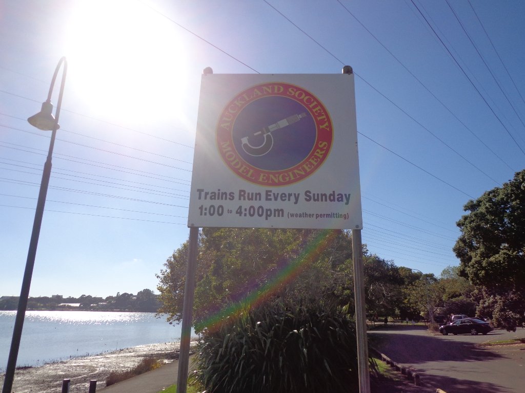
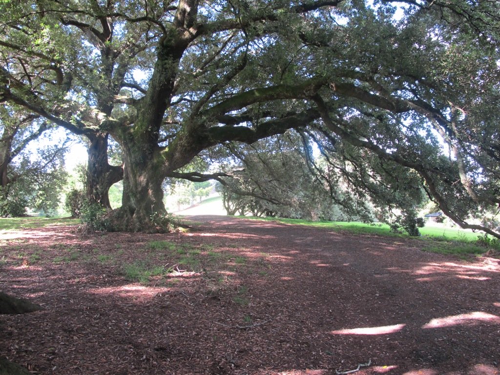
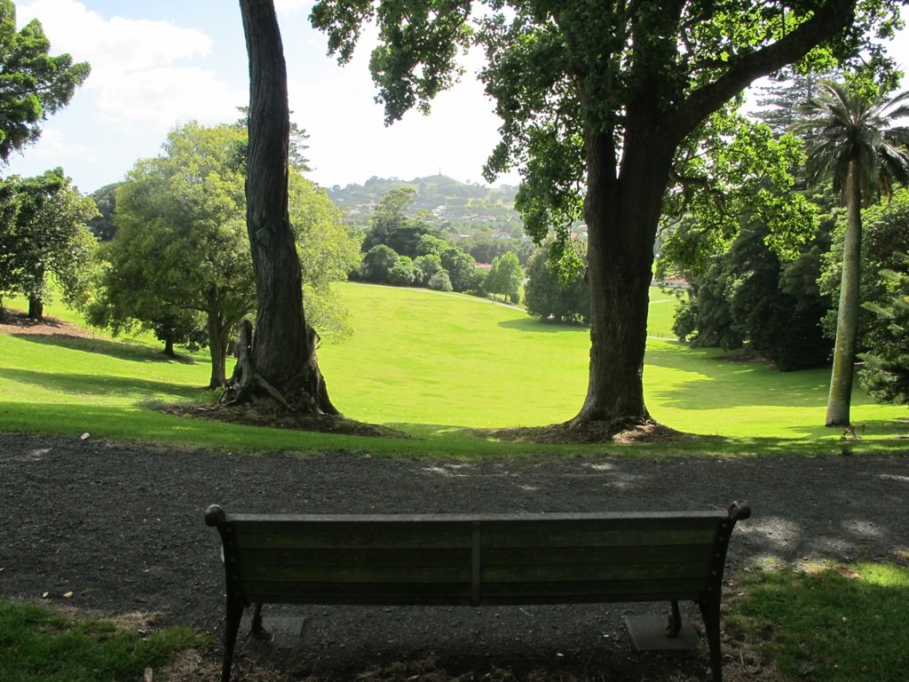
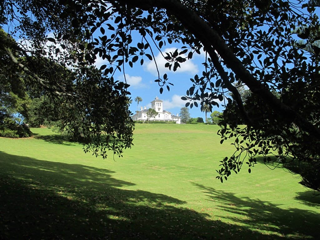
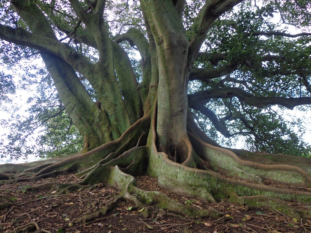
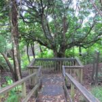
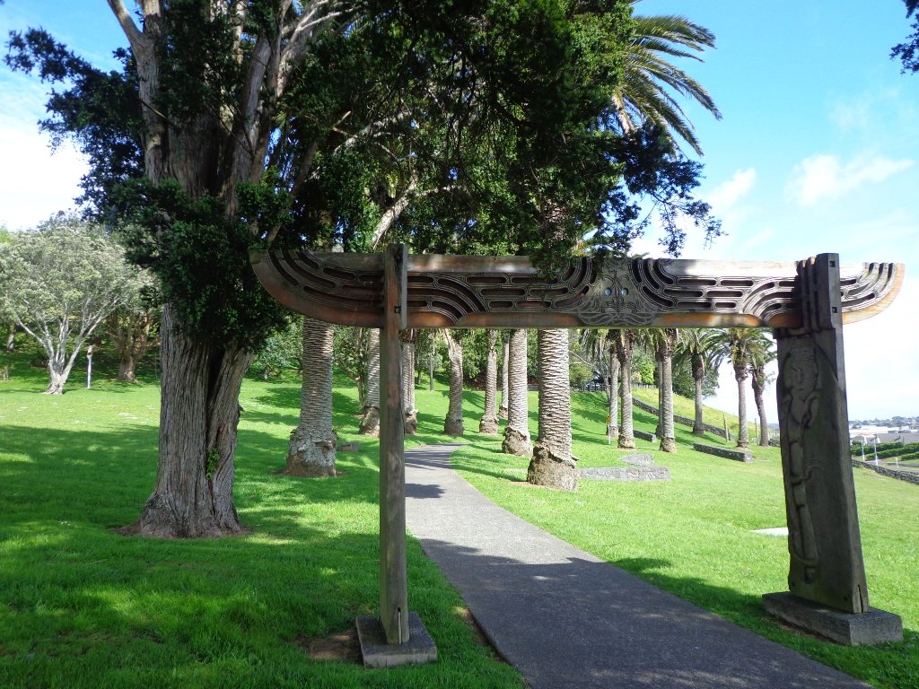
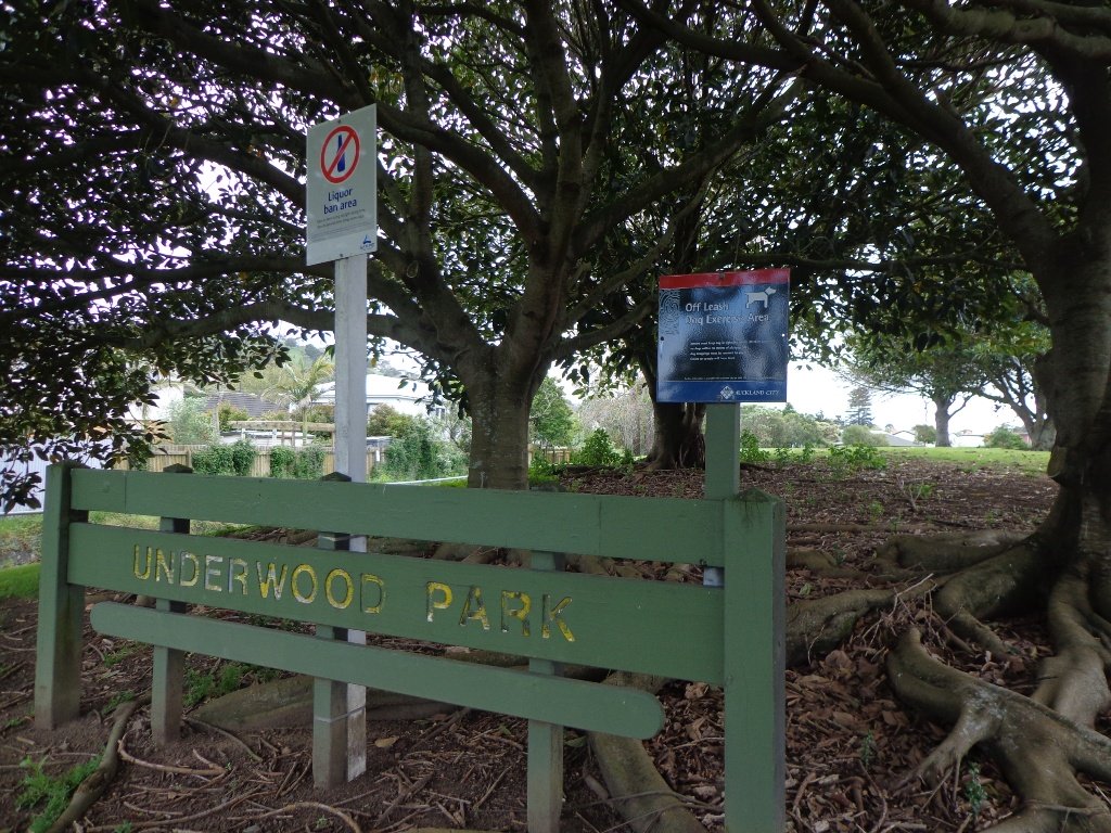
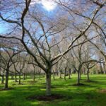
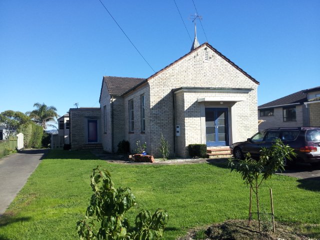
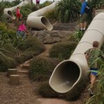
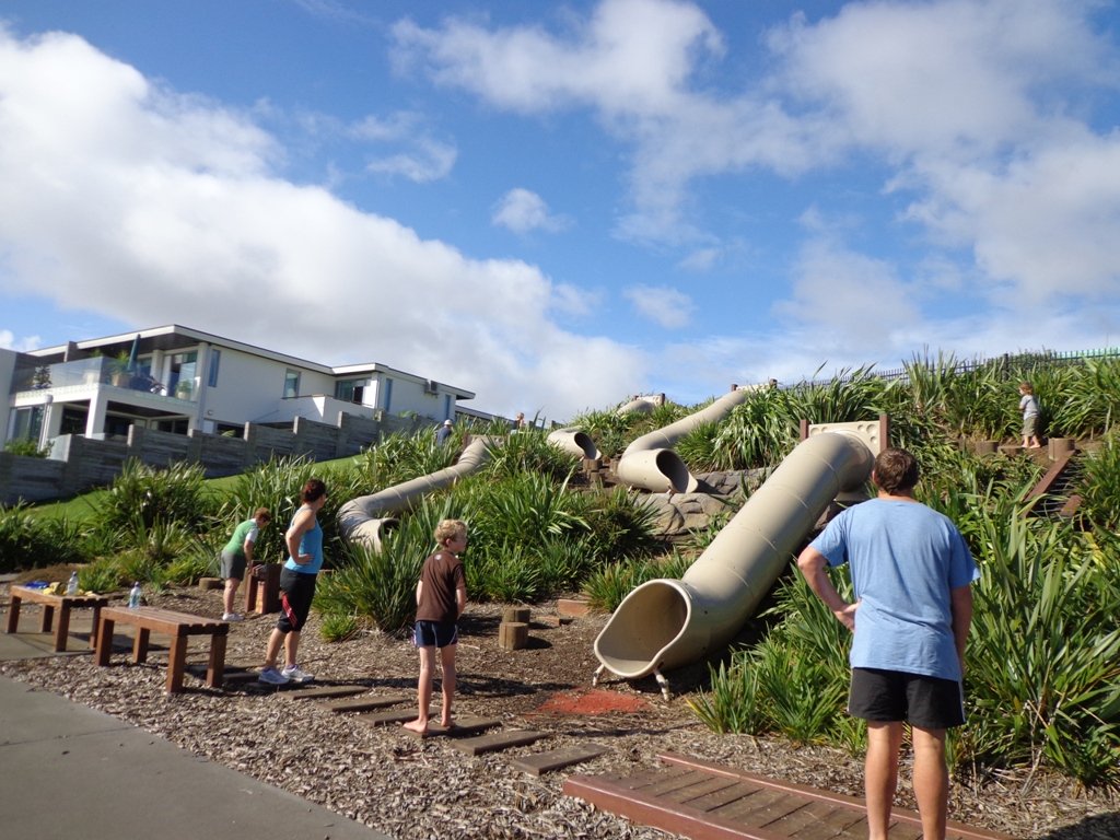
Mangere Bridge Village is a great little spot to start exploring Auckland’s Manukau Harbour area  on our loop walks. There is a rich variety of things to see – with over 10 volcanic craters and cones, as well as Ambury Park Farm, shore birds and the esplanade.

walks in auckland

You may wish to connect two or more of these four walks and make it a half day and/or full day walking experience. Or just do one walk at a time – it’s up to you.


Mangere Bridge loop walk in Auckland
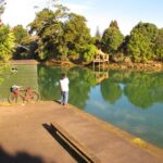
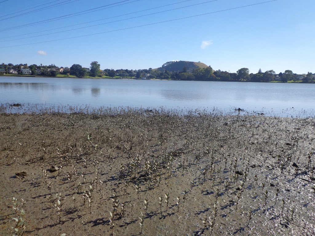
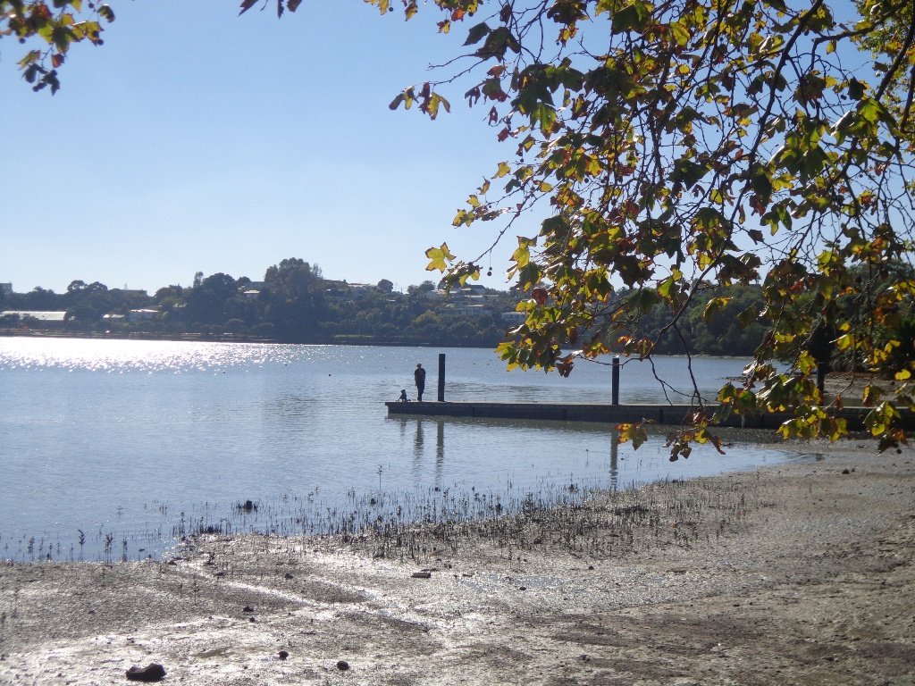
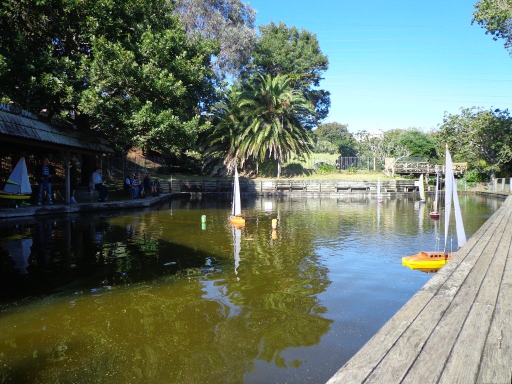
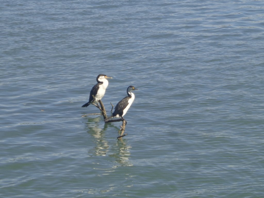
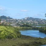
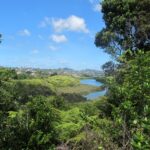
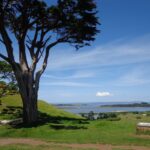
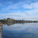
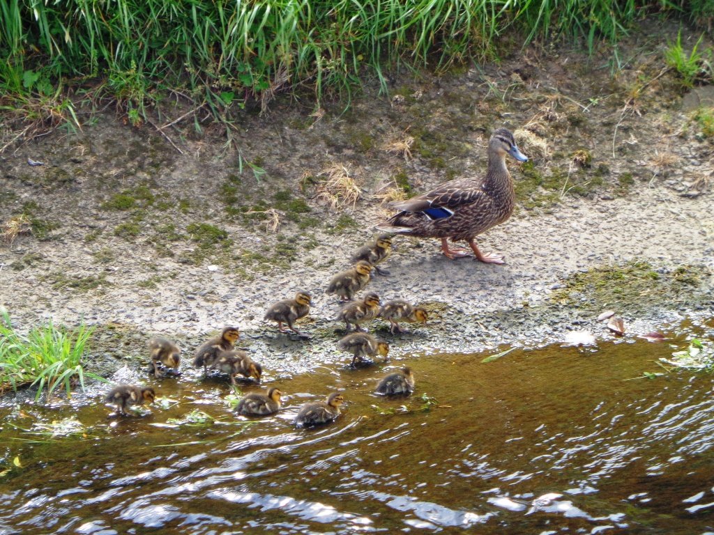
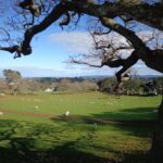
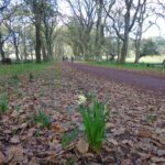
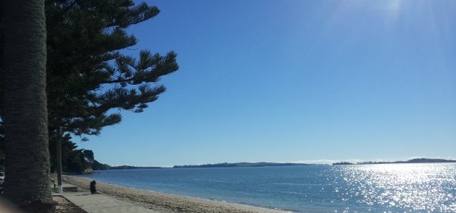
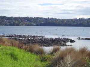
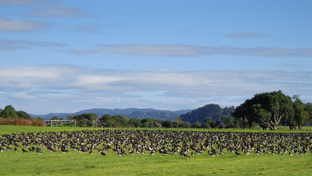
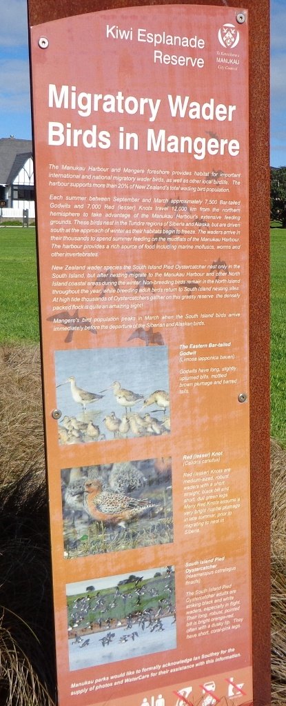
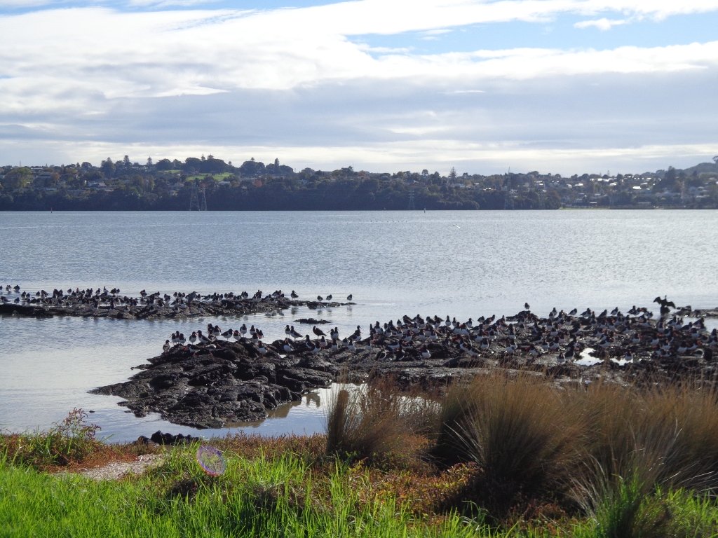
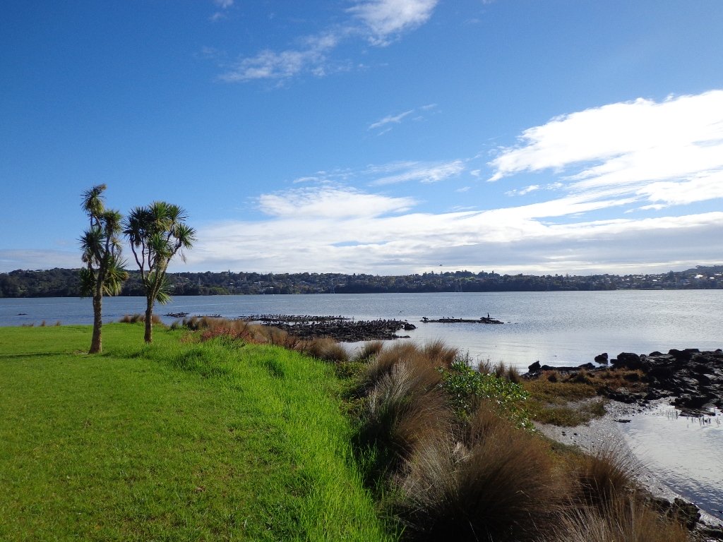
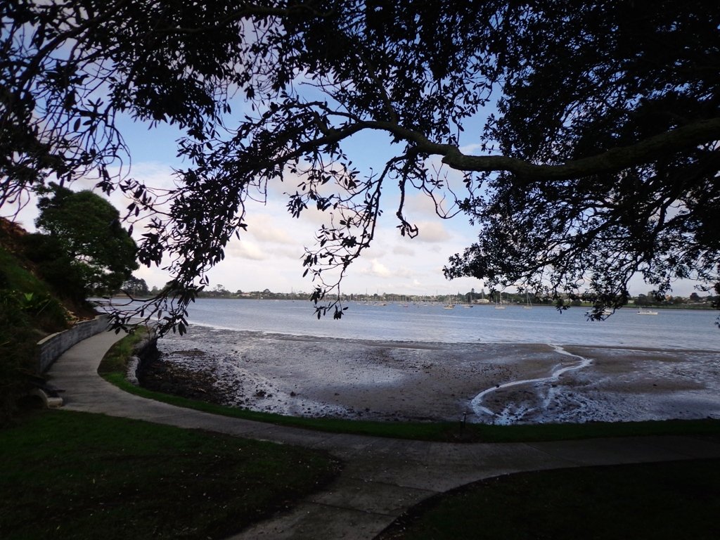
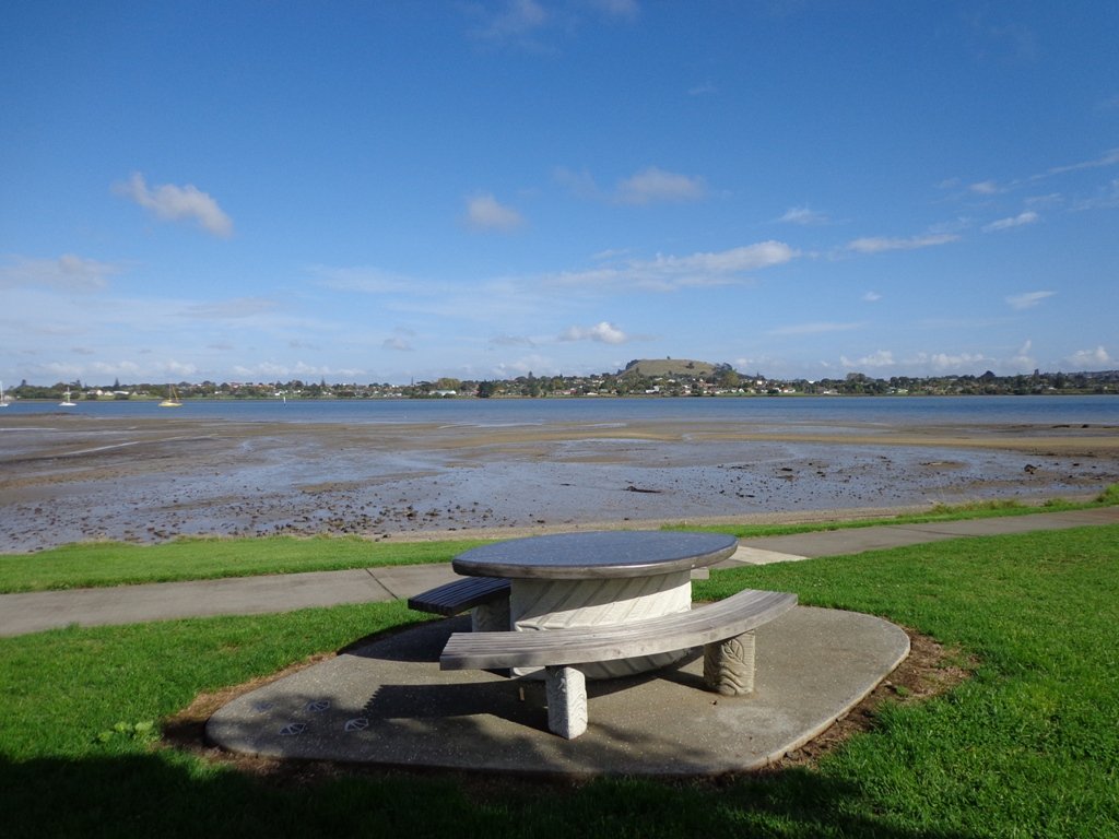
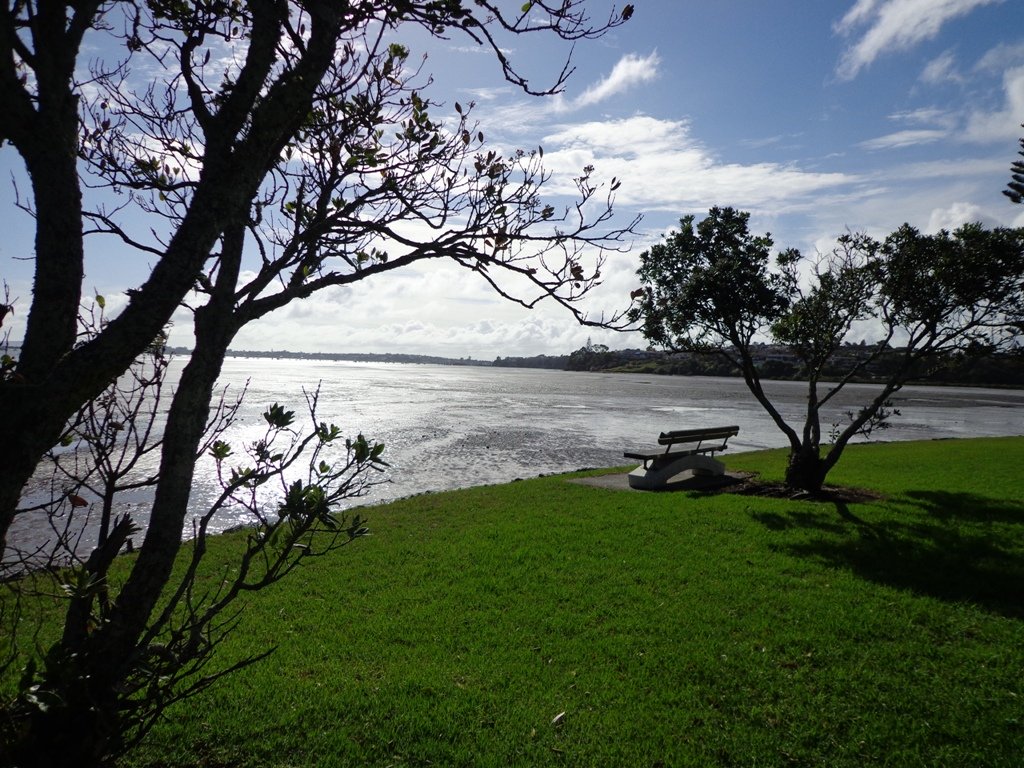
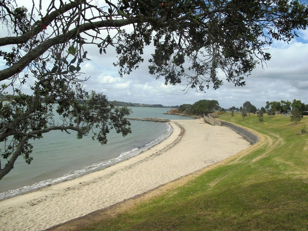
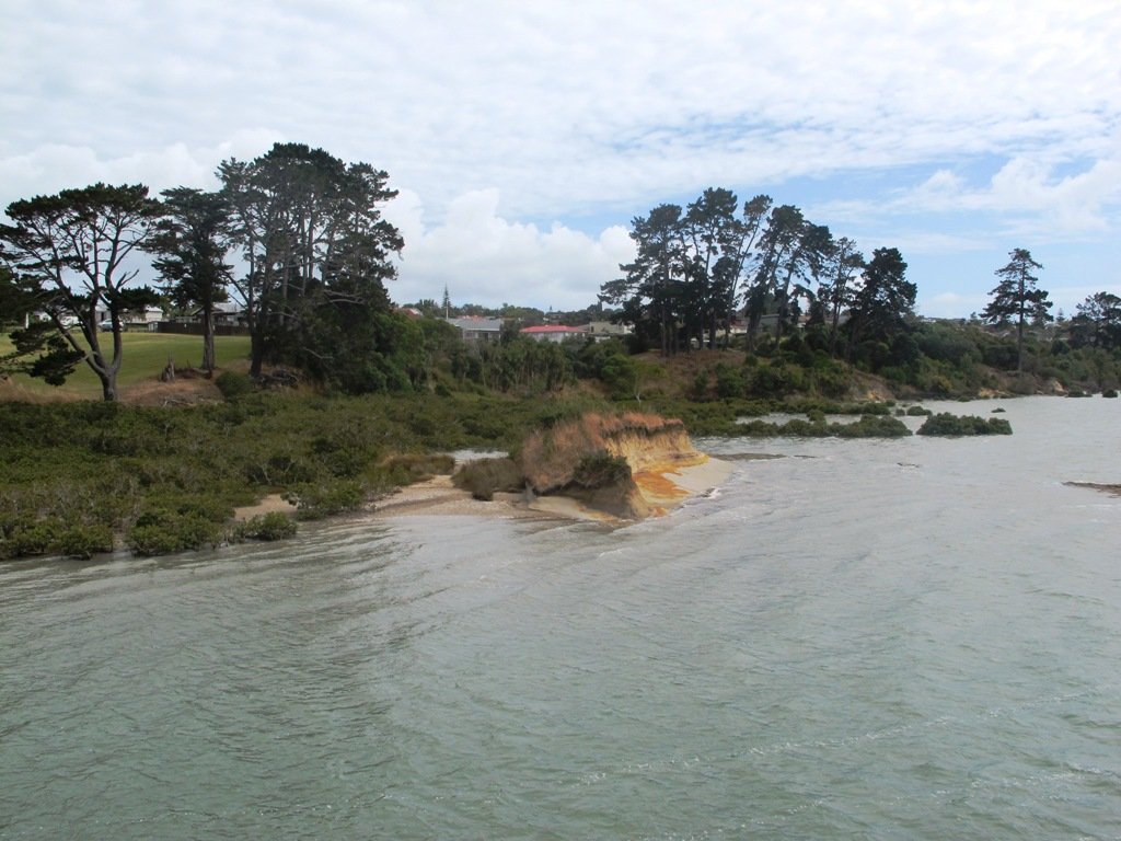
The Mangere Esplanade Loop Walk follows the Manukau Harbour shore line where during the summer months you will be able to see the migratory birds.


Mangere Bridge to Onehunga Copyright 2014 Unleashed Ventures Limited
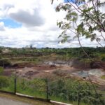
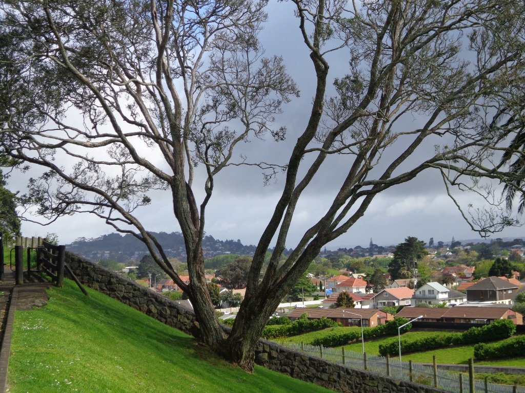
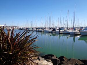
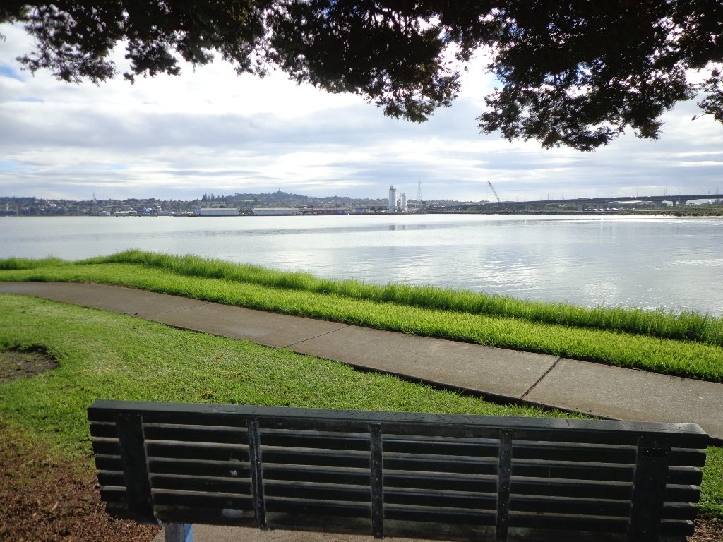
The Mangere Bridge to Onehunga Loop Walk explores the historical parts of Onehunga. And you will be able to see the reclaimed beach “Onehunga Taumanu” and the progress being made of the old bridge replacement.


Ambury Park Farm
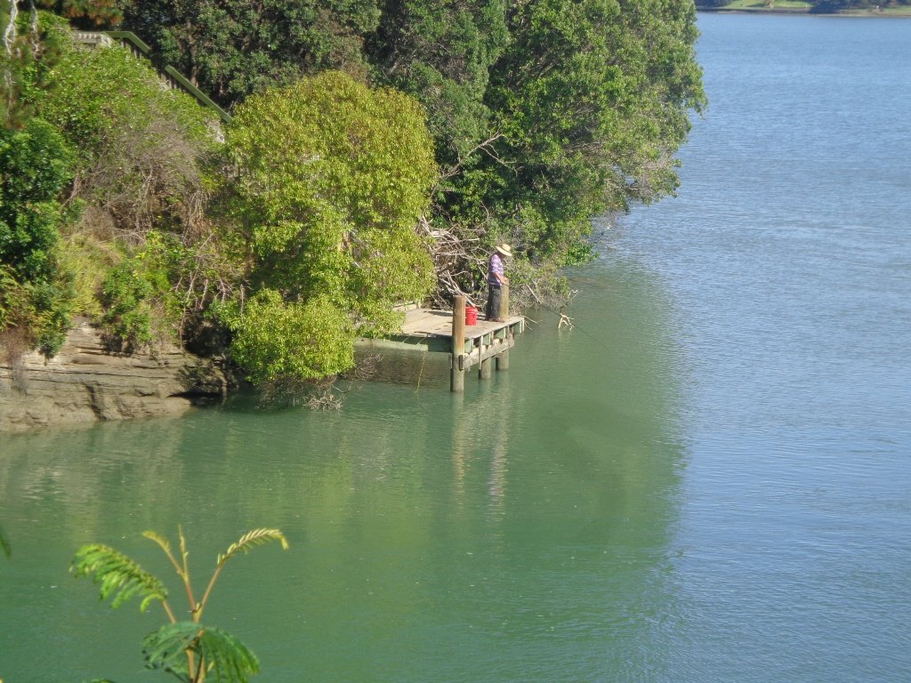
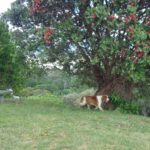
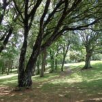
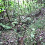
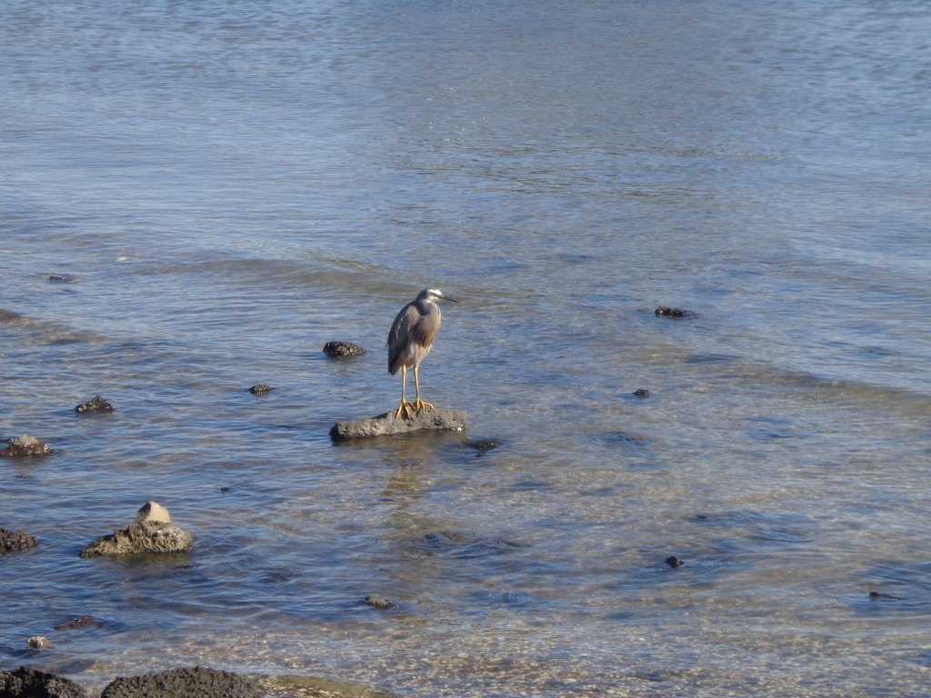
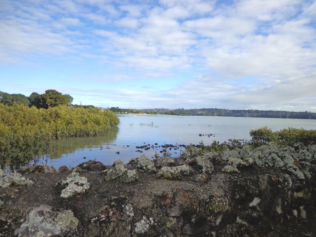
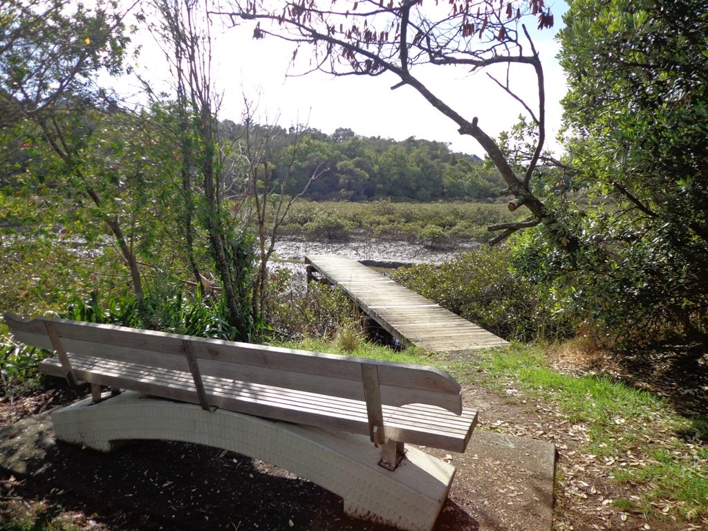
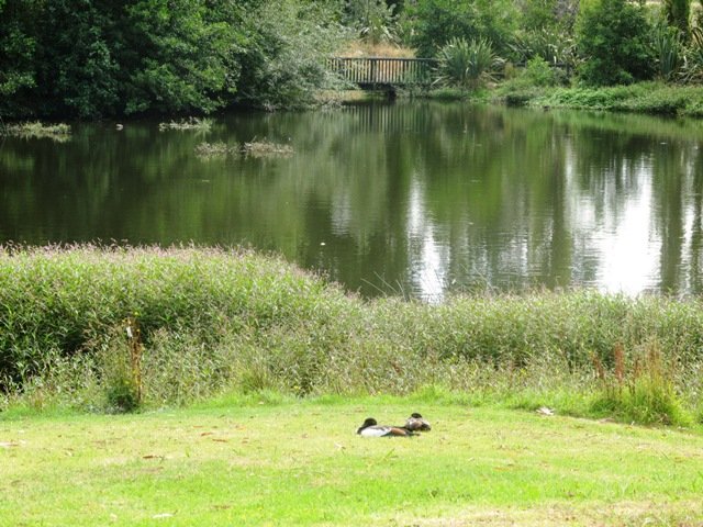
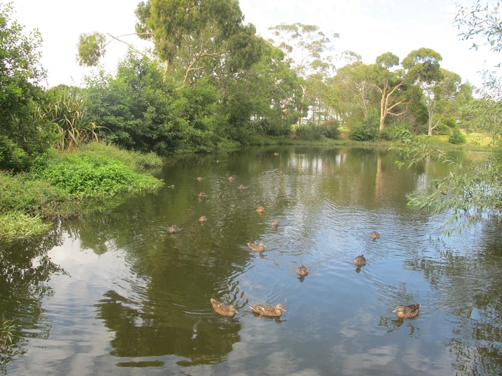
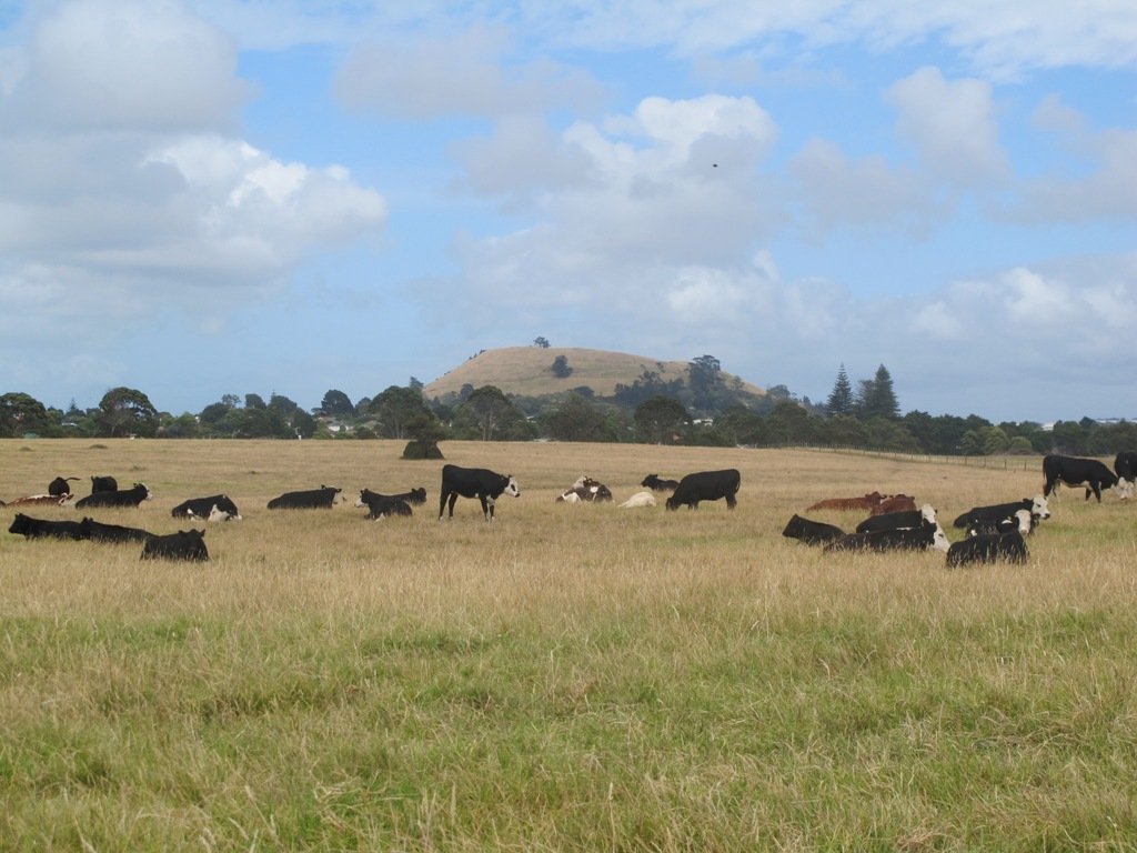
Ambury Park Farm walks takes you through the farm paddocks and out to the wetlands and the harbour shore for bird sightings, and views looking up to Mangere Mountain.


Mangere Mountain © 2011-2013 Unleashed Ventures Limited All Rights Reserved
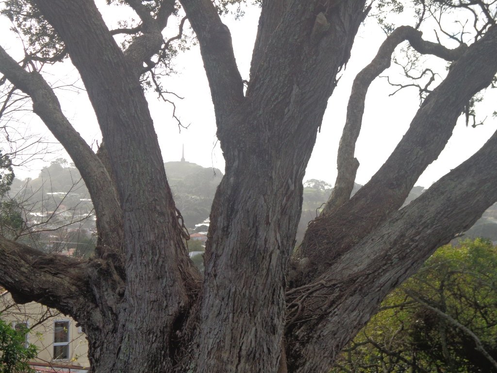
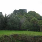
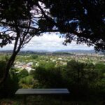
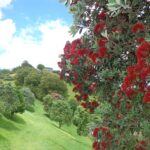
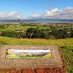
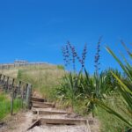
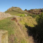
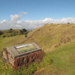
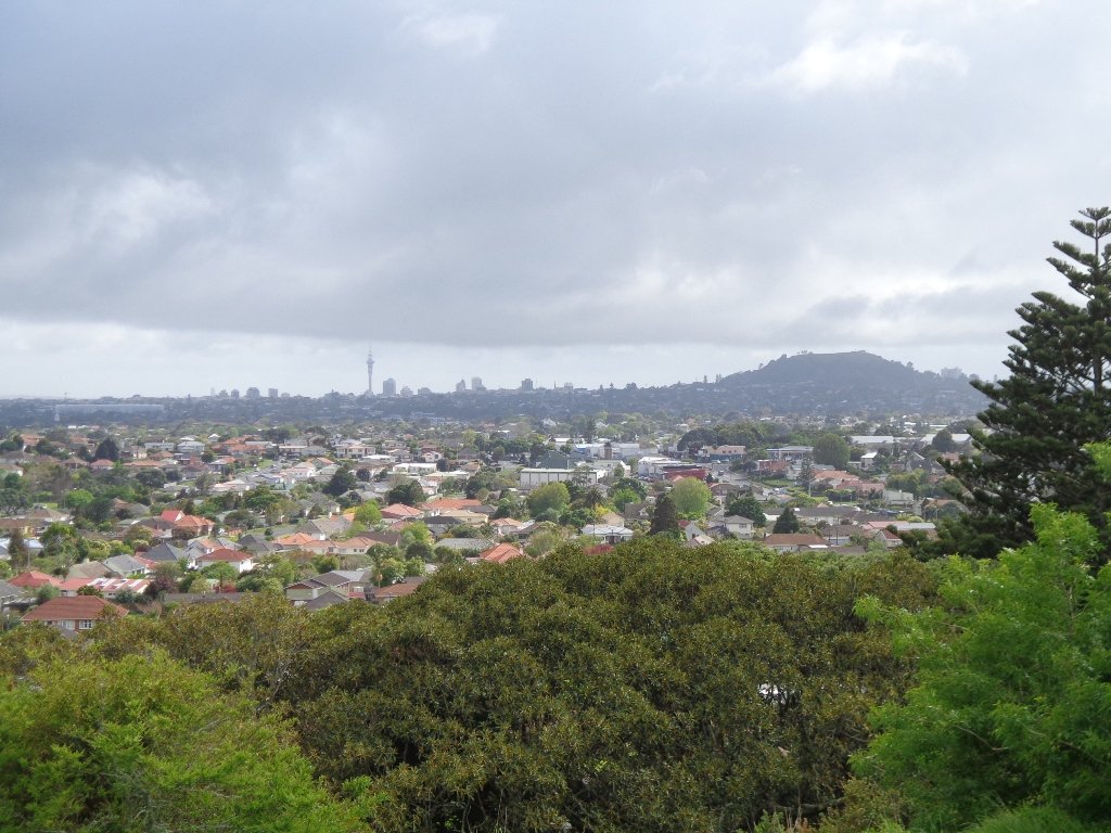
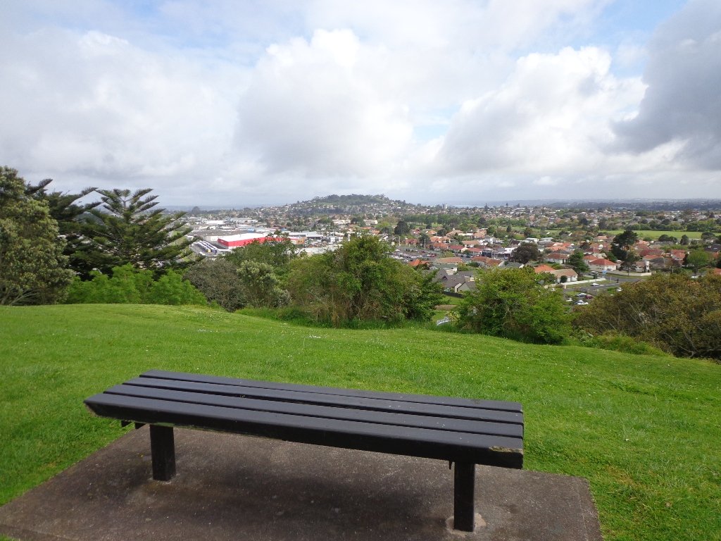
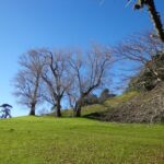
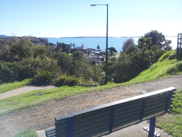
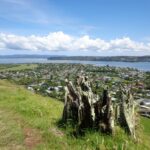
The Mangere Mountain Volcano Walk provides a birds eye view of the Manukau Harbour and the surrounding area, with views across to One Tree Hill and the Sky Tower, looking down on the explosion crater of Mangere Lagoon, and over to Ambury Park Farm.

Mangere Bridge ©2013 walksinauckland.com
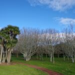
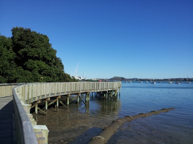
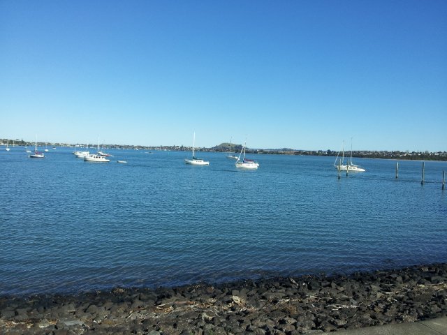
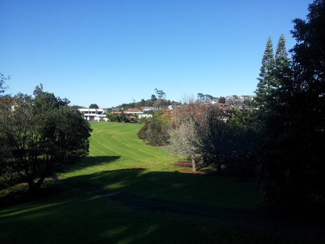
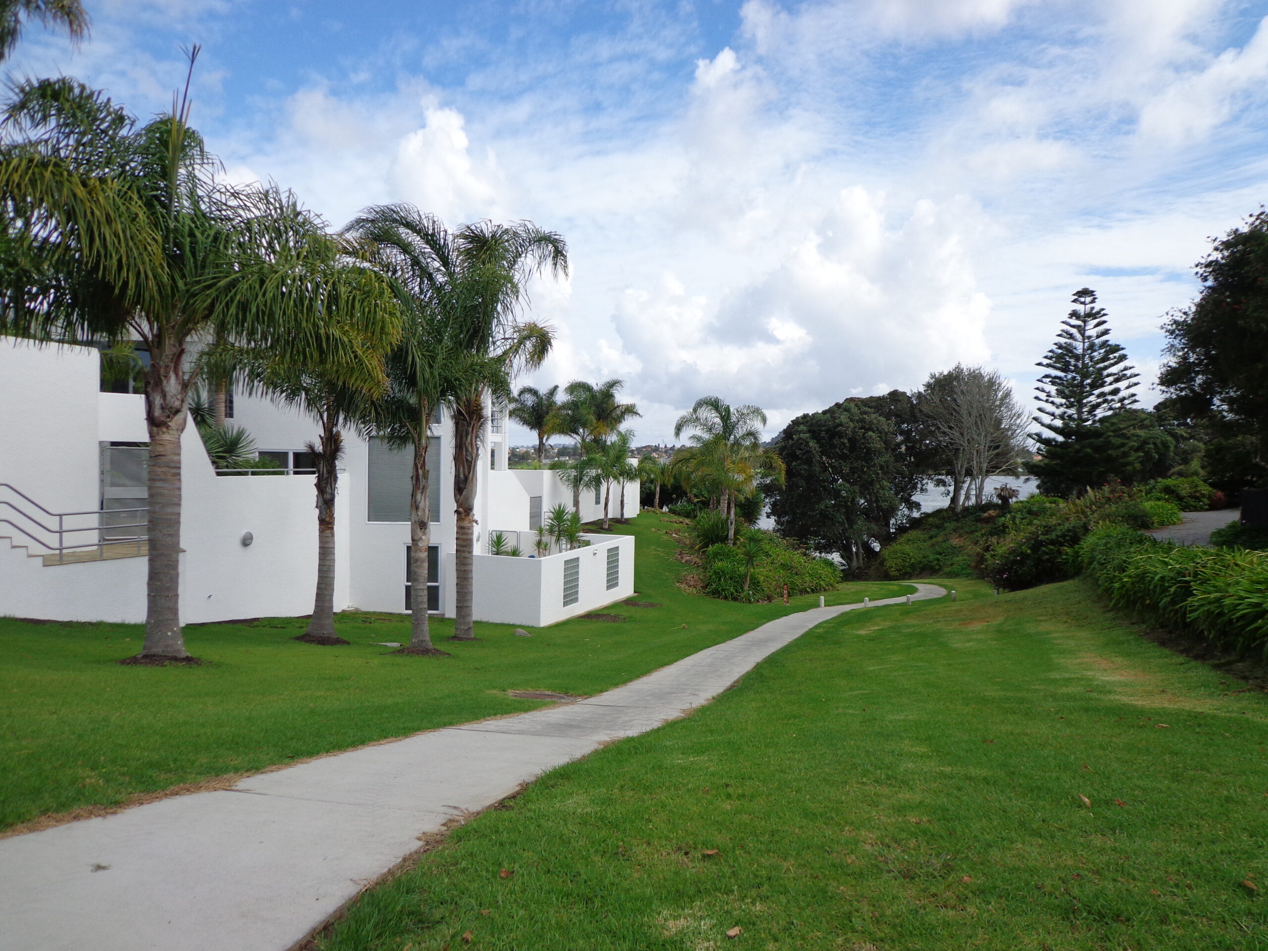
If you are looking for a walk that is buggy friendly, then the Mangere Bridge Village loop walk  that starts (and ends, of course) at Mangere Bridge Village, and heads around the harbour edge, under the motorway bridge, partly through the industrial area, along the base of Mangere Mountain and returns along the Kiwi Esplanade will tick the box.

Nearby places to visit: Watercare Coastal walkwayAmbury Regional ParkVilla Maria Winery and cafeButterfly Creek,  Otuataua Stonefields historic reserve , Mangere Strawberry and Vegetable Farm @ 127 Kirkbride Road.


Mt Roskill Explorer

We had overlooked Mt Roskill as a place to walk and explore… until today.  The volcano double cone and twin craters of Mt Roskill have been destroyed through the installation of a water reservoir, but from the top it is easy to view Mt Albert, Mt Eden, Big King and One Tree Hill.

Mt Roskill © 2011-2013 Unleashed Ventures Limited

Our flat walk (if you choose not to walk up to the summit of Mt Roskill) links up three reserves – War Memorial Park,  Walmsley Park and Underwood Park. Take some bread to feed the ducks in Oakley Creek. The final part of the walk is at the colourful shops of Stoddard Road.

The walking route is also great for cyclists, prams/buggies and dog walkers (on leash and off  leash dog exercise areas in Walmsley Park and Underwood Park.).

We stopped for a very good coffee at an almost hidden Ethiopean cafe in the Tulja Centre called Cafe Abyssinia.

9th December 2013 – a new cafe has opened at 740 Sandringham Road Extension. Give your support to a community project – the Roskill Coffee Project.

Please note: An upgrade of Oakley Creek storm-water project has been proposed by the Local Board. If it goes ahead, there will be some disruption along this route within Walmsley and Underwood Parks from 2016.
Read about it here.

Description: Mostly level paths, steep paths ascent to summit of Mt Roskill. Suitable for most ages and levels of fitness and mobility, designed with flat shoes or running shoes in mind. Suitable for wheelchairs and pushchairs if Mt Roskill summit is avoided.

To see: Views of Auckland City skyline, Mt Albert, Mt Eden, Three Kings, One Tree Hill. Oakley Creek and ducks.
Time: approx. 90 minutes (about 7.5 kms).
Start: Corner of Sandringham Road extension/Stoddard Road.
MAP

Stay on track…find this walk’s map and directions guide (AC-093 Mt Roskill Loop) and other walk self-guides at our Walk Store

(Click on the photos to see an enlarged view.)

Winter walks in Auckland

Grab your rain jacket, hat and gloves and head outside to warm up with a winter walk!  Even though the weather may not appeal, walking will awaken your senses.

Cornwall Park © 2011-2013 Unleashed Ventures Limited

Go tree spotting in Cornwall Park, Mt Eden and Monte Cecilia Park; and enjoy the benefits of taking a walk on a crisp winter day.

Another place to walk in winter and enjoy the trees is Waiata Reserve which you can walk through on the Remerua to Hobson Bay Circuit.

We cover Cornwall Park and Mt Eden in our new book “Short walks in Auckland:Volcanoes“.

When the deciduous trees have dropped their leaves, more views are revealed, and on those beautiful, clear, dry winter days, the sun is great for warming up our bodies!

Click on the photos below to enlarge.

Half Moon Bay East

Half Moon Bay marina - ©2013 walksinauckland.com

This walk at Half Moon Bay explores the parks and reserves to the east, and then heads down to Eastern Beach. On a sunny day at high tide it is quite beautiful! The new-ish boardwalk, is a great finishing touch as you return to Half Moon Bay.

It was very busy at the Half Moon Bay cafes today – with many people out making the most of the sunny, warm weather and Mothers Day.

Description: Mainly level paths, steep steps and steep slopes. Suitable for users of average fitness and mobility.
To see: Views of Tamaki Estuary, marina, Eastern Beach Esplanade; views of Rangitoto, Mount Wellington and One Tree Hill
Time: approx. 75 minutes. (about 6.0 kms)
Start from: Half Moon Bay Marina  MAP

Stay on track…get your detailed guide and map (AE-072 Half Moon Bay East) over at our Walks Store  and our Book Store (one of 12 walks featured in our books “Coastal part 2” and “Best of the East”).


Mangere Esplanade Loop Walk

Mangere Bridge - Kiwi Esplanade copyright 2013 Unleashed Ventures Limited

It was a treat to walk along Kiwi Esplanade (Mangere Bridge) at high tide in the sunshine this morning. We had clear views to One Tree Hill and nearby Mangere Mountain, and sighted the migratory South Island Pied Oyster Catchers sitting on the rocks and reserves.

It’s always a pleasure to visit Mangere Bridge Village, with it’s parade of cafes and interesting folk. The area was busy today with walkers and cyclists. 

The walking route is also great for prams/buggies and dog walkers (on leash only).

Nearby places to visit: Watercare Coastal walkwayAmbury Regional ParkVilla Maria Winery and cafeButterfly Creek,  Otuataua Stonefields historic reserve , Mangere Strawberry and Vegetable Farm @ 127 Kirkbride Road.

Other Mangere WalksMangere Bridge to Onehunga LoopAmbury Park Farm WalkMangere Mountain

Description: Mainly level paths, with just one gentle downhill slope. Suitable for users of average fitness and mobility.
To see: Views of Manukau Harbour, One Tree Hill, Mangere Mountain, Pukeko and shore birds habitat.
Time: approx. 75 minutes. (about 6.23 kms)
Start: Coronation Road, Mangere Bridge Village  MAP

Stay on track…get your detailed guide and map (AS-071 Mangere Esplanade Loop) over at our Walks Store  and our Book Store (one of 12 walks featured in our books “Coastal part 2” and “Best of the South”).


Pakuranga Farm Cove Loop

We have now added a fourth loop walk taking in the wonderful Pakuranga Rotary walkway. This 5kms loop walk follows the Tamaki Estuary through Farm Cove and explores the Sunny Hills suburban streets, with views of Mount Wellington and One Tree Hill.

You may wish to cycle the whole 5 kms of the Pakuranga Rotary walkway, or just stop and watch the tide on one of the many seats along the walkway.  Families may like to take a fun break on the snakes and ladders playground near the Bramley Drive entrance.

The walking route is also great for prams/buggies and dog walkers (on leash only).

Mon Bichon Cafe

We stopped for coffee at the French inspired deli/cafe Mon Bichon, a delightful surprise in the Farm Cove village shops. You could buy your pastries from here to take and eat beside the walkway…(update: sadly it is no longer there).

Description: Mainly level paths (with one small incline).  Suitable for users of average fitness and mobility. Suitable for cycling and push-chairs.
To see: Tamaki Estuary, Mangroves, white volcanic pumice deposits, views of Mount Wellington and One Tree Hill, residential homes
Time: approx. 60 minutes. (about 5 kms)
Start: Fisher Parade, Farm Cove Village  MAP

Stay on track…find this walk’s map and directions guide (AE-068 Pakuranga Farm Cove Loop) and other walk self-guides at our Walk Store and our Book Store (“Best of the East”)

University of Auckland Walks – Tamaki Campus

Stage Four of the University of Auckland short walks project, with five walking circuits starting and ending from the Tamaki campus in Morrin Road.

If you would like free copies of these PDF brochures, please leave your request in the comment box below.

Stay on track…get other detailed guides with maps from our Walks Store

Maybury ReservePoint England Loop
This walk takes you through Glen Innes and Maybury Reserve (and its rows of feijoa trees) to the edge of Point England Reserve returning through a character-filled Glen Innes residential street.
Time: approx. 40 minutes. (about 3.75 kms)

Maungarei Springs Wetlands Stonefields Loop
This walk winds through Stonefields to Maungarei Springs Wetlands.
Time: approx. 40 minutes. (about 3.6 kms)


Apirana Reserve and view of Mount WellingtonApirana Reserve Loop
This walk takes you off the suburban streets into the countryside and horse paddocks, with views from the top of the hill of Eastern Beach and the Coromandel on a clear day, and Mount Wellington close by.
Time: approx. 45 minutes. (about 4.2 kms)


Eastview Reserve, Glen innes Eastview Reserve Loop
Refresh and revive amongst the trees in Taniwha and Eastview (mature oak trees) Reserves.
Time: approx. 45 minutes. (about 4.0 kms)


Stonefields, St Johns
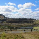
The Goldsbury Track Loops
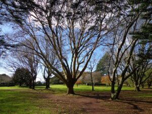
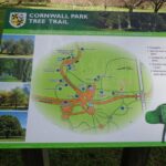
Take in a Reserve before winding through Stonefields to the Gollan Road Pedestrian Trail. Snatch views of Mt Wellington, Mt Eden, Mt St John, Mt Hobson, One Tree Hill and the top of the Sky Tower.
Time: approx. 45 minutes. (about 4.19 kms)

Point England Walk

Point England Reserve

We are not familiar with the Tamaki and Glen Innes area, so today was our first walk and explore. And we discovered beautiful Point England Reserve.  What a gem! We had no idea that there was a sandy beach here.

This walk offers great views of East Auckland and the Waitemata harbour and as the walkway passes through bush, mangroves and farmland. This route is a part of the 7.5km  Point to Point Walkway.

The walking route is also great for prams/buggies and dog walkers (on leash only).

The lack of rainfall has made the Omaru River smelly, so we do hope that will improve when it next rains.  Part of the path is in great need of maintenance.  We wonder if the local schools could adopt part of the walkway and learn how to maintain and enhance the bush and stream??? (The Omaru River is an outlet of Orakei Basin and runs underneath Meadowbank to Apirana Ave, through Maybury Reserve and out to Wai O Taiki Bay).
Update: a project was kicked off in June 2013. Read: Youth keen to save river

Description: Mostly level paths. Suitable for users of average fitness and mobility. (Take bread to feed the ducks)
To see: Estuary views, boats, wetlands, mangroves, residential housing, view of two volcanoes – Mt Wellington and One Tree Hill, Point England Reserve, Maybury Reserve feijoa trees
Time approx. 80 minutes. (about 7.0 kms)
Start: Glen Innes Train Station (or Point England Road Reserve at end of Point England Road)  MAP
Nearby Walks: Tahuna Torea, Waiaturua Reserve

Stay on track…get your detailed guide and map over at our Walks Store  (AE-059 Point England Walk) and our Book Store (one of 12 walks featured in our books “Coastal part 2” and “Best of the East”).

University of Auckland walks – Epsom Campus

Stage Three of the University of Auckland short walks project, with five walking circuits starting and ending from the Epsom campus in Epsom Avenue.

If you would like free copies of these PDF brochures, please leave your request in the comment box below.

Stay on track…get other detailed guides with maps from our Walks Store

Volcano crater, Mount Saint John

Mount Saint John Loop
This walk takes you around Melville Park and up to the Mount Saint John volcano rim with views of One Tree Hill, Mount Eden and the Waitakere Ranges before dropping back down to the streets of Epsom.
Time: approx. 40 minutes. (about 3.5 kms)


Entrance to “Rannoch”

Newmarket Loop
This walk starts off along the residential Epsom streets and winds into Newmarket. From Newmarket, it is a straight run back to the start.
Time: approx. 45 minutes. (about 4.24 kms)


Cornwall Park Loop
A flat walk that takes you to the Puriri Drive entrance to Cornwall Park, past the memorial fountain and statue of Sir John Logan Campbell.
Time: approx. 45 minutes. (about 4.05 kms)


Streets of Epsom Loop
This flat walk is mostly along quiet tree-lined suburban streets.  Enjoy the original houses and well-tended gardens.
Time: approx. 40 minutes. (about 3.5 kms)


Mount Eden Loop
A walk through Mount Eden Village and a climb up to the summit of Mount Eden to take in the views of volcanoes and the city. Why visit Mount Eden?
Time: approx. 50 minutes. (about 4.5 kms) for full loop.  Optional shorter loop approx. 40 minutes

If you would like free copies of these PDF brochures, please leave your request in the comment box below.

Stay on track…get other detailed guides with maps from our Walks Store

Greenwoods Corner walks

These Auckland walks start from Greenwoods Corner.
Greenwoods Corner is a small village in the Auckland suburb of Epsom, nestled under One Tree Hill. It is named after William Greenwood whose homestead was on the site of the current ASB Bank. The village has a selection of small businesses; a great butcher, good cafes, restaurants, clothing and gift shops, and friendly people. Buses come and go regularly.

At Greenwoods Corner you could purchase picnic food, and then head out to visit  One Tree Hill/Cornwall Park to see the lambs, or visit the Stardome Observatory, then take a walk around the retail area, see heritage buildings, homes built in the early 1900’s with well-kept gardens, and local parks.

Greenwoods Corner Village, Auckland

View of Pah Homestead

Pah Homestead Loop
This central Auckland walk starts from Greenwoods Corner, takes you through the streets of Epsom to the beautiful big park of Monte Cecilia where you can walk around and view the extraordinary TSB Bank Wallace Arts Centre within the wonderfully restored Pah Homestead.

Description: A mix of level paths, steps and slightly inclined paths. Suitable for users of average fitness and mobility. May require boots in wet weather, running shoes suitable in dry weather.
To see: Suburban streets, Monte Cecilia Park, Pah Homestead, TSB Bank Wallace Arts Centre, old trees – native and exotic, views of One Tree Hill and Mangere Mountain
Time: approx. 60 minutes. (about 5 kms)

Walks in Auckland
One Tree Hill

Cornwall park/One Tree Hill Loop
Description: A mix of mainly level paths, and a few steep paths. Suitable for users of all ages and abilities, suitable for normal footwear and for wheelchairs and pushchairs.
To see: City views, harbour views, trees, Volcano, farm animals, observatory. The Park is home to many birds ranging from Native Pigeon, Fantail to California Quail, White-faced Heron and Paradise Shelduck.
Time: approx. 60 minutes (about 5.3kms)

You can download these free walks when you enter your contact details here

Family walk around Panmure Basin

It takes only 30 minutes to walk around the Panmure Basin – another Auckland volcanic crater, but if you take young children with you then it may take longer.  Take the tricycles and scooters – this is a mostly flat walk, as there are only two steep bits.

Panmure Basin is a fun family walk in Auckland with several distractions – there is access to 3 playgrounds, and on weekends there is a mini-train ride (runs on Sundays from 1pm to 4pm) and you can stop and watch people controlling their boats on the pond. Keep an eye on the tide chart – it does look prettier at high tide.

You can see the nearby volcano cone of Mt Wellington from the lagoon and if you look carefully from the Jubilee Bridge, One Tree Hill in the far distance.

Nearby is a skate park and the Lagoon Leisure and Fitness Centre, Lagoon Dr, Panmure – Here you’ll find outdoor pools, a hydroslide, diving boards, and an adventure playground – all kid magnets in the summer. The outdoor area and gardens with barbecues and shaded picnic tables are great for family picnics and functions (source NZ Herald).

The walking route is also suitable for prams/buggies and dog walkers (on leash only). This walk has a fitness trail.

Also nearby is Mount Wellington Domain which is fun to explore and has great views of Auckland.

This area does lack nearby cafes but if you have a car you may want to venture to Pakuranga Plaza or Sylvia Park.

Description: Mostly level path, only 2 slight inclines. Suitable for users of average fitness and mobility. Running shoes suitable in dry weather.
To see: Mt Wellington, boats, water birds
Time: approx. 45 minutes. (about 4 kms)
Start: Panmure Train Station MAP

Stay on track… download this walk (AC-045 Panmure Basin) for free

Click to open the Google Map in a separate tab or tap on the icon in the top right of the map.

Onehunga to Pah Homestead

Another fine autumn day. And a wonderful walk in Auckland up through Onehunga Mall and across to the Pah Homestead in Monte Cecilia Park.  This walk is certainly diverse! The Onehunga Railway station is a great spot to arrive in Onehunga at the southern end of the mall.   From here you can either amble slowly and enjoy the curious collection of shops, seek out some of Onehunga’s landmarks or just push on up the hill. Once you reach Monte Cecilia Park you can enjoy the magnificent old trees and the views across to One Tree Hill and Mangere Mountain, before heading down to Onehunga Bay Reserve. Or you can linger longer and walk around Pah Homestead and view the art collection at the TSB Bank Wallace Arts Centre.

Tree lovers may like to read this NZ Herald article: Growing our heritage

This walk takes in 3 children’s playgrounds and numerous cafes.

** Catch the train to Onehunga and consider making this into a day outing by taking the time to discover the places of interest along the way.  Onehunga Heritage Walks.  Dressmart Outlet Shopping offers a large range of products.  Sunday indoor markets  **

Description: A mix of level paths, steps and slightly inclined paths. Suitable for users of average fitness and mobility. May require boots in wet weather, running shoes suitable in dry weather.
To see: Historic cottages, Views of One Tree Hill and Mangere Mountain, Historic Homestead and parkland
Time: approx. 90 minutes. (about 7.5 kms)
Parking: Princes Street Onehunga MAP Buses: Onehunga (Municipal Place)

Recommended cafes: The Library Cafe and Columbus Coffee

Stay on track…get your detailed guide and map (AC-038 Onehunga to Pah Homestead) at our  Walks Store or walk from Greenwoods Corner in Epsom

Three Kings | walks in Auckland

Walks in Auckland

Big King is all that remains of the Three Kings volcano cones after the others were quarried away. 15,000 years ago there used to be three scoria mounds; the result of Auckland’s largest explosion crater measuring 800 metres across and 200 metres deep.

The lava flow from this volcanic center overflowed into a 10 kilometer ‘river’ that terminated at Meola Reef at the Waitemata Harbour.

This circular walk in Auckland takes us to the top of what remains of the  volcano, parks and playgrounds  with views of Mount Eden, One Tree Hill, Rangitoto, Manukau Harbour and the City skyline.

Big King Reserve is a favourite place for dog lovers as this is a dog friendly walk with an off-leash exercise area.

Description: A mix of level paths, steep paths and steps. Not wheel-friendly. Moderate fitness. Caution: muddy and slippery paths when wet. Sturdy shoes recommended.
To see: Volcanoes, gravel pit, parks and playgrounds, 1960’s state housing. Wonderful views of Manukau Harbour, South Head and the Waitakere Hills. Count the number of volcanoes you can see.
Time: approx. 45 minutes. (about 3.45 kms)
Start: Main carpark off Duke Street (off Mt Eden Road) MAP

12 Volcano Walks

Suggested cafes:
1) Orvieto, (dog friendly) Mt Eden Road
2) The Eiffel Cafe (further south down Mt Eden Road towards Mt Albert Road)
Both cafes serve great coffee and tasty food.

Stay on track find this walk and other walks over at our Walks Store (AC-002 Big King) and our Book Store (Volcanoes, Dog friendly part one).

.

12 Volcano Walks
12 Volcano Walks

Three Kings is featured in our book “Volcanoes”. Available from AmazonShort Walks in Auckland: Volcanoes (and on Kindle)

Kepa Bush

Walks in AucklandKepa Bush is another short walk in Auckland treasure that contains bush trails and native trees, flora and fauna that is easy to get to.

The circuit takes about 30 minutes, and it provides views of the bush, 3 volcanoes (One Tree Hill, Mt Hobson and Mt Eden) and Orakei Basin, which all happen to be walks that we have documented.   Kepa Bush Reserve is a cool shady walk for hot summer days.  It is quiet and peaceful – and still in the city! The track is not well maintained, so be sure to wear sturdy footwear.

The grass reserve has picnic tables, and space to kick a ball around.

Kepa Bush Reserve is beside Eastridge Shopping Centre, where you can leave your car and stop for a coffee afterwards.

Download the FREE Kepa Bush Reserve guide and map here

Mangere Mountain Walk

walks in auckland

I have driven past Mangere Mountain many times without realising where it was. I knew of it, but hadn’t seen it. I discovered it last year and found that it’s a huge and unspoiled volcano with fabulous views across the Manukau Harbour. Mangere Mountain has little exposure from the motorway to the airport, but on it’s western side it looms high (106 metres above sea level), from the Harbour shores. This volcano does not have paved paths and roads like Mt Eden or One Tree Hill. It erupted about 18,000 years ago and is in the most original condition.

Dogs – on leash.

Other Mangere WalksMangere Bridge to Onehunga LoopAmbury Park Farm WalkMangere Esplanade Loop

Nearby places to visit: Watercare Coastal walkway, Ambury Regional Park, Villa Maria Winery and cafe, Butterfly Creek,  Otuataua Stonefields historic reserve , Mangere Strawberry and Vegetable Farm @ 127 Kirkbride Road.

Description: A mix of level paths and steep paths. Caution: Muddy and slippery when wet. Suitable in dry weather. Suitable for most ages and levels of fitness and mobility, designed with flat shoes or running shoes in mind. Not suitable for wheelchairs and pushchairs.
To see: Volcano crater and rim, Manukau Harbour views, views of other volcanoes.
Time: approx. 45 minutes (3.69kms)
Start: Coronation Road, Mangere Bridge Village There is a children’s playground and an off-leash dog area.  (See other Dog Friendly Walks) Mangere Village has several cafes.

Find this walk and other walks over at our Walks Store  (GS006 Mangere Mountain) and our Book Store (“Volcanoes”  and “Best of the South”).

12 Volcano Walks
12 Volcano Walks

Mangere Mountain is featured in our book “Volcanoes”. Available from AmazonShort Walks in Auckland: Volcanoes (and on Kindle)