

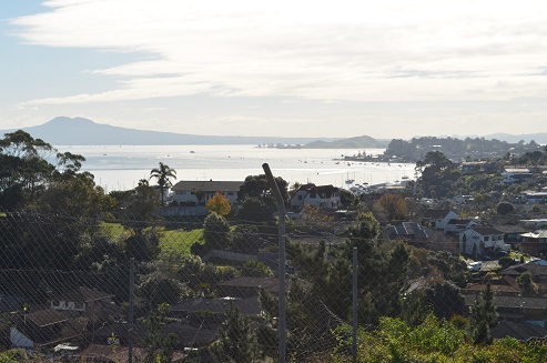
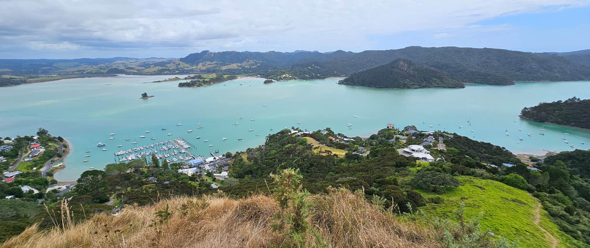
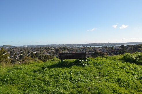
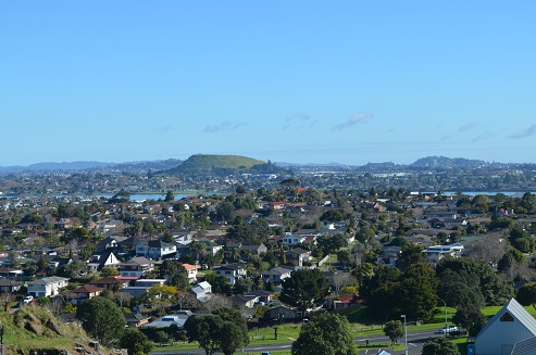
This is Auckland’s easternmost volcanic cone and offers fantastic views of the Hauraki Gulf and back across Auckland City. It provides a very unique perspective of Auckland’s geography and at only 55m in height is not a daunting climb.
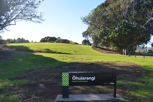
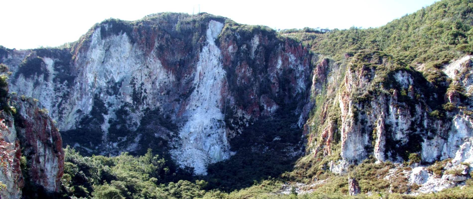
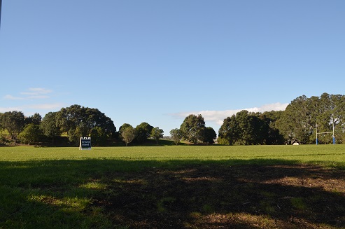
Pigeon Mountain contains sports fields, a Scout Hall, a kindergarten and plenty of opportunities to climb and explore. The northern side was quarried from 1847 by the early Fencibles Settlers and this increased through the 1950’s-1970’s. Today, the northern part of Pigeon Mountain is no more and there are protective fences to stop visitors from falling up to 30m. The southern side of the mountain contains grassy slopes and sports fields.
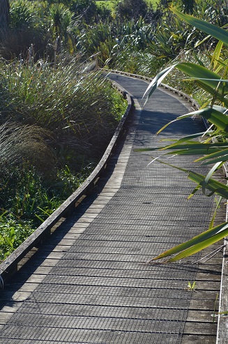
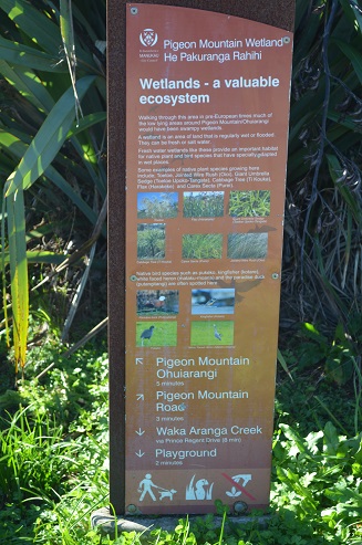
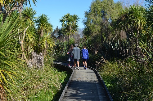
The detour to the Wetlands across Pigeon Mountain Rd is a pleasant boardwalk through growing native bush.
Quick facts about this walk
| Walk time: | 45 – 90 minutes |
| Surface: | Grass tracks and some rocks near quarry |
| Difficulty: | 2 |
| Buggies/Wheelchairs: | Offroad buggies could be pushed up the grass slopes if fit & strong. Wetlands section is wheel friendly. |
| Facilities: | Toilets, Carparking |
| Highlights: | Views of Auckland City and Hauraki Gulf |

The Hobbiton Movie Set Day Tour - From Auckland
Map location and how to find Pigeon Mountain Volcanic Cone
Click to open the Google Map is a separate tab or tap on the icon in the top right of the map.
Pigeon Mountain and Wetland Walk Descriptions
The walk to the summit can be commenced via Gills Rd or from the carpark on Pigeon Mountain Rd. If commencing from the carpark head to the south and start your climb up through the remains of the quarrying.
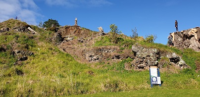
There are a lot of interesting rock formations and outcrops that make it an interesting place to explore. Be aware that much of this terrain is very uneven. After climbing up the edge of the old quarry, you intersect with a track that will take you to the summit.

If you choose to walk from Gills Rd, just head your way across the sports field and towards the summit. There are a few grass tracks that eventually lead towards some stairs that take you to the top!
Once at the summit, you’ll enjoy some great views back over Auckland City and towards Browns Island and Rangitoto Island. On your decent, try going down the way you did not come up so you appreciate both sides of the mountain.
A couple of other interesting facts:
- Pigeon Mountain was a Maori Pa and so you will see historic terraces on the mountain.
- A group of Pakuranga College students found some artefacts and skulls in the 1960’s
Buggies/Wheelchairs
This walk is not suitable for buggies or wheelchairs unless off-road capable. They can be used to access the summit from Gills Rd side but there is no way you can take a buggy up the northern track.
Dog Friendly
The Pigeon Mountain Walkway allows dogs on a leash.
Other useful Links:
Comments on Pigeon Mountain Volcanic Cone
Pete Smith
Annoyingly the track was closed after an hours drive
Richard Wagener
That is really unfortunate indeed – sorry about that inconvenience. I hope you were able to find another track closeby.

