Tag Archives: Cyclists

Unsworth Reserve Loop

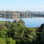
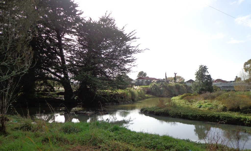
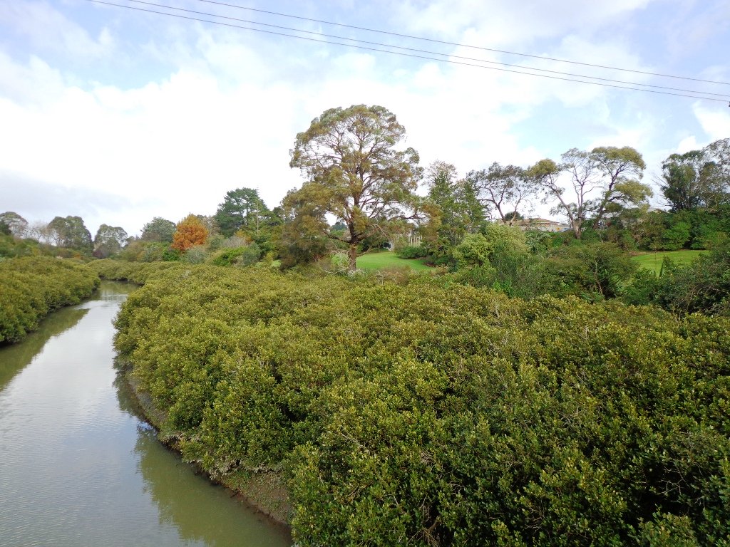
Over the years, we have made many visits to Paul Matthews Road off the Upper Harbour Highway in Albany totally unaware that nearby is the huge Unsworth Reserve with the Alexandra Stream flowing through.

The Alexandra Stream is thought to be named after Princess Alexandra who married the Prince of Wales in 1863.

Unsworth Reserve Boardwalk and cycle way © 2011-2013 Unleashed Ventures Limited

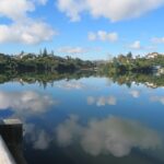
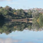
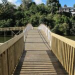
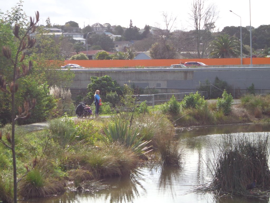
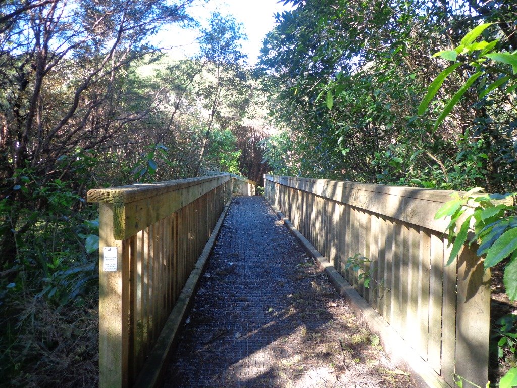
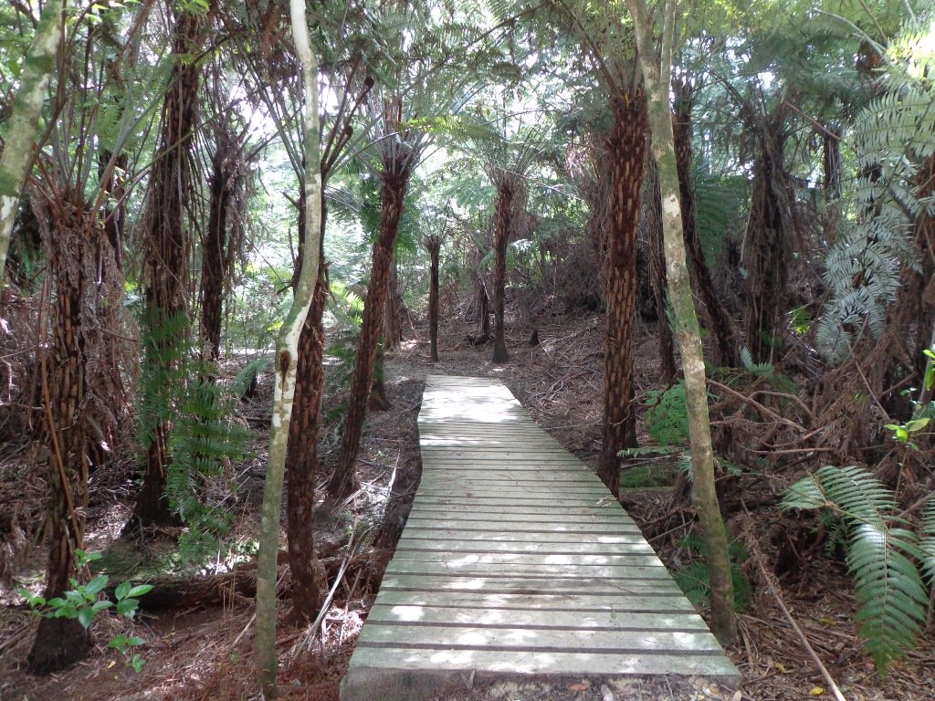
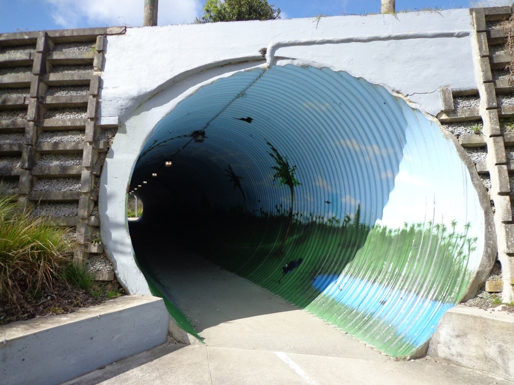
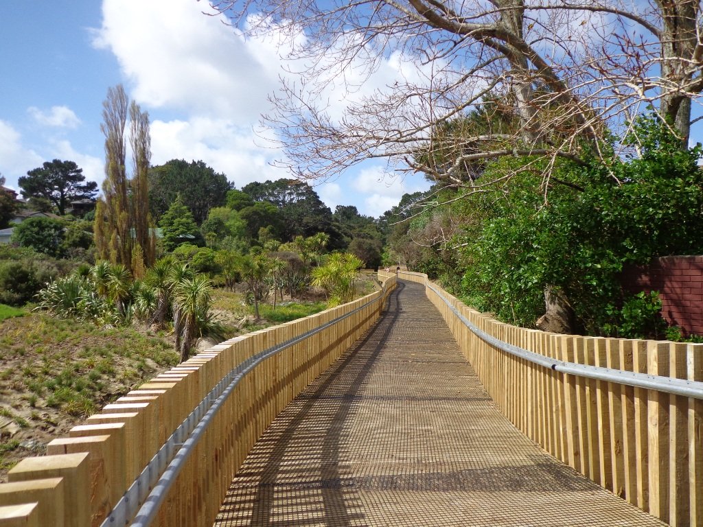
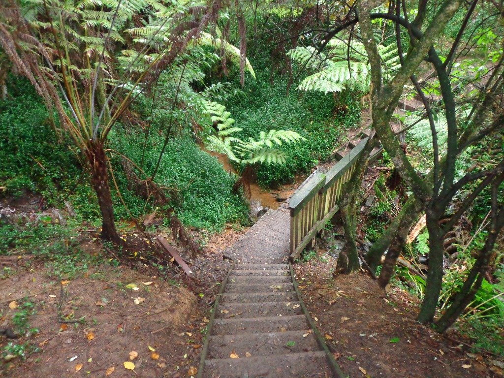
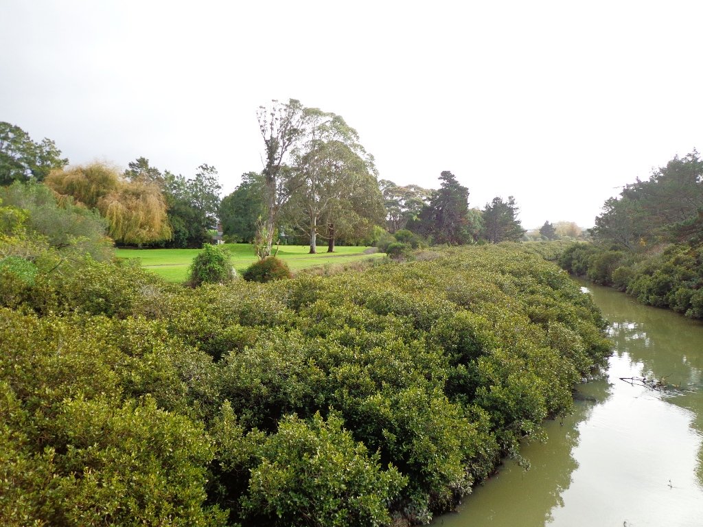
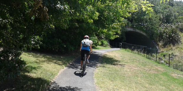
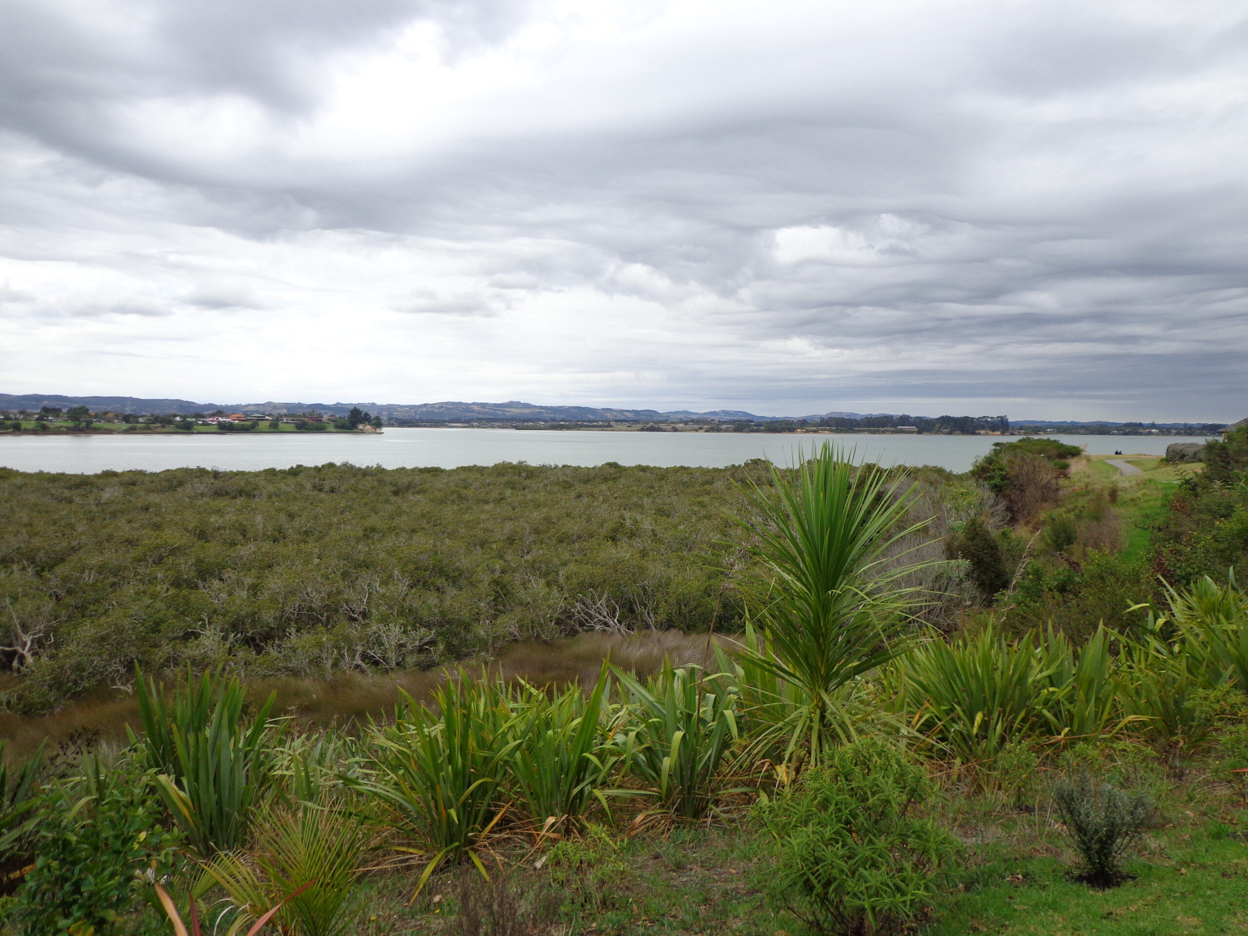
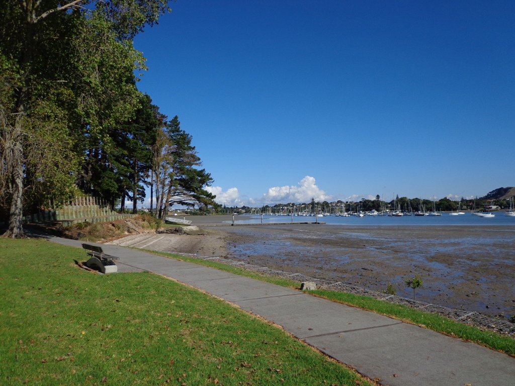
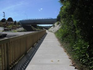
Recently a new board walk/ cycle way has been completed.  Obviously we have no idea what was here previously, and can’t imagine how much the project would have cost, but it certainly looks impressive. We hope that it will get a lot of use by recreational and commuting cyclists, pedestrians and joggers. As the many plants and trees grow, it will become a beautiful oasis in the middle of suburban housing.

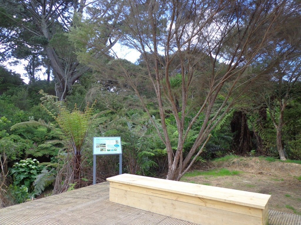
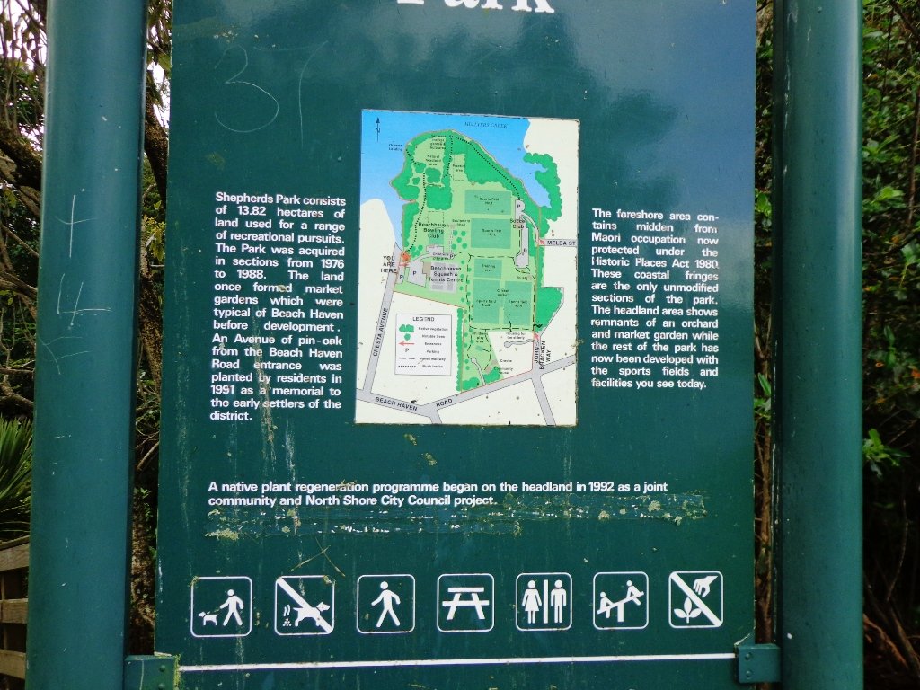
Along the boardwalk are boards – informing us of ways that water quality is being improved, the past fruit cultivation, ways to reduce erosion and plants – the weeds and natives. And we are impressed with the sign posting.

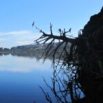
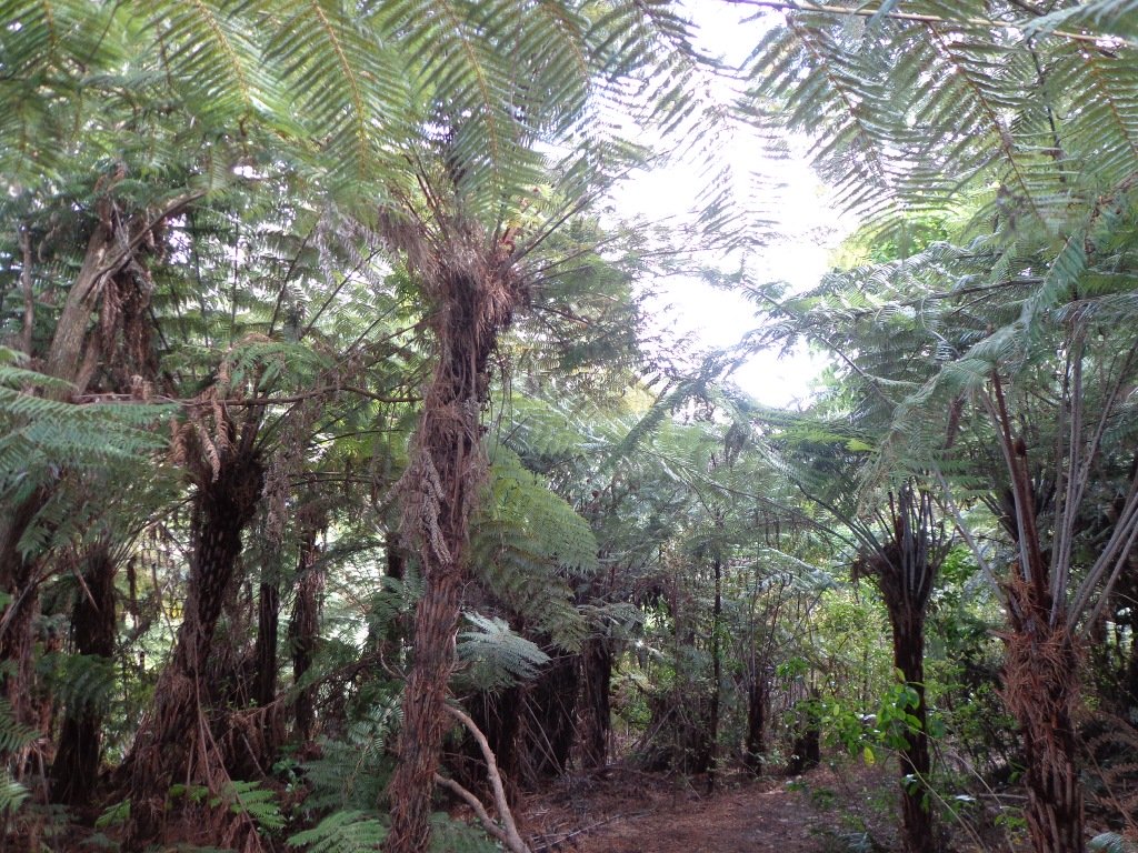
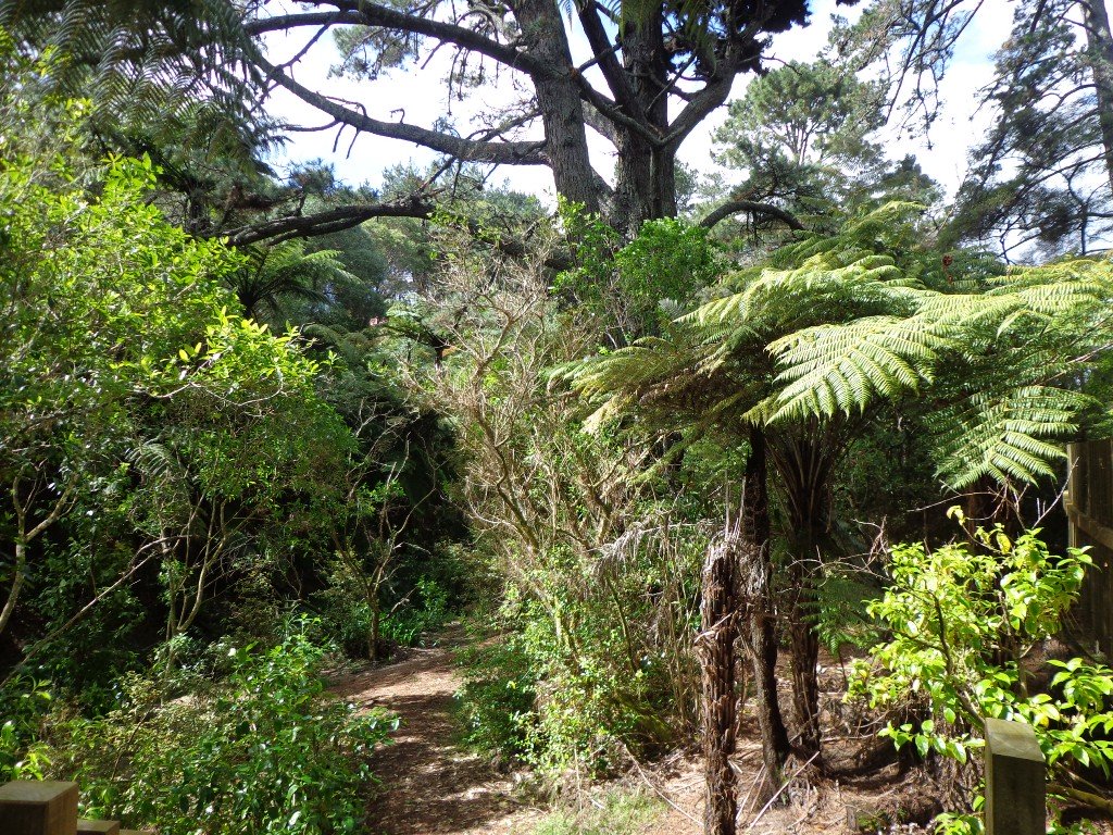
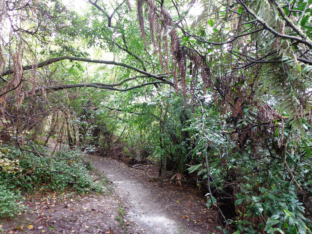
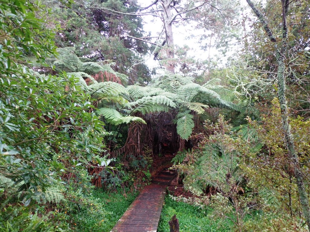
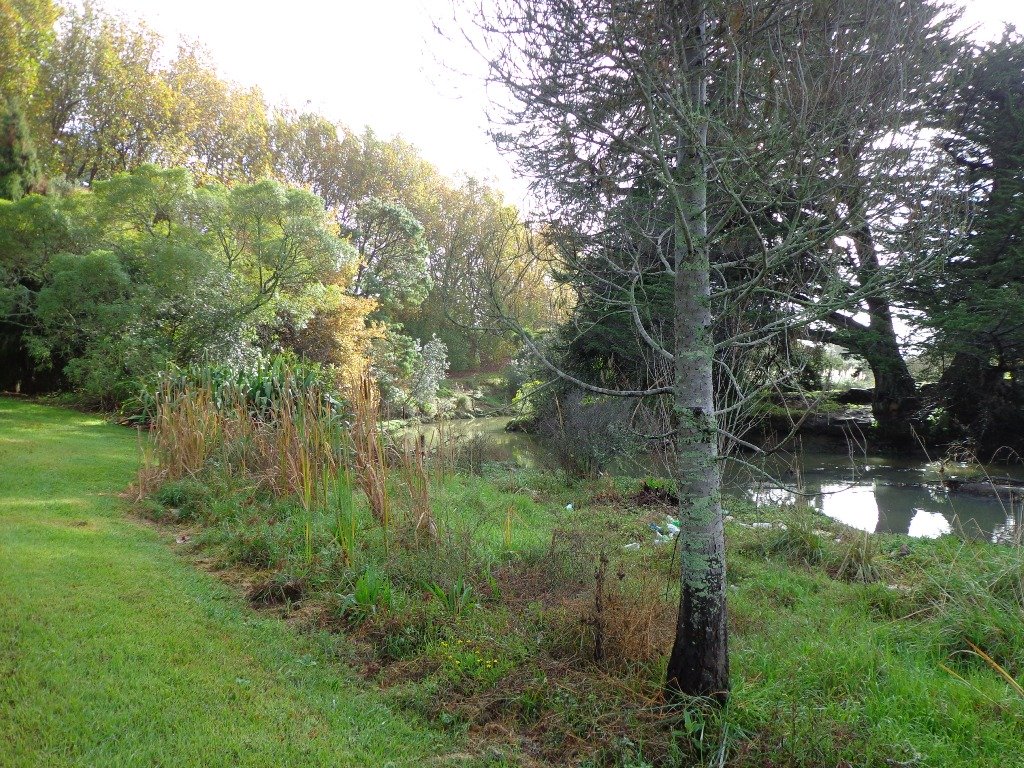
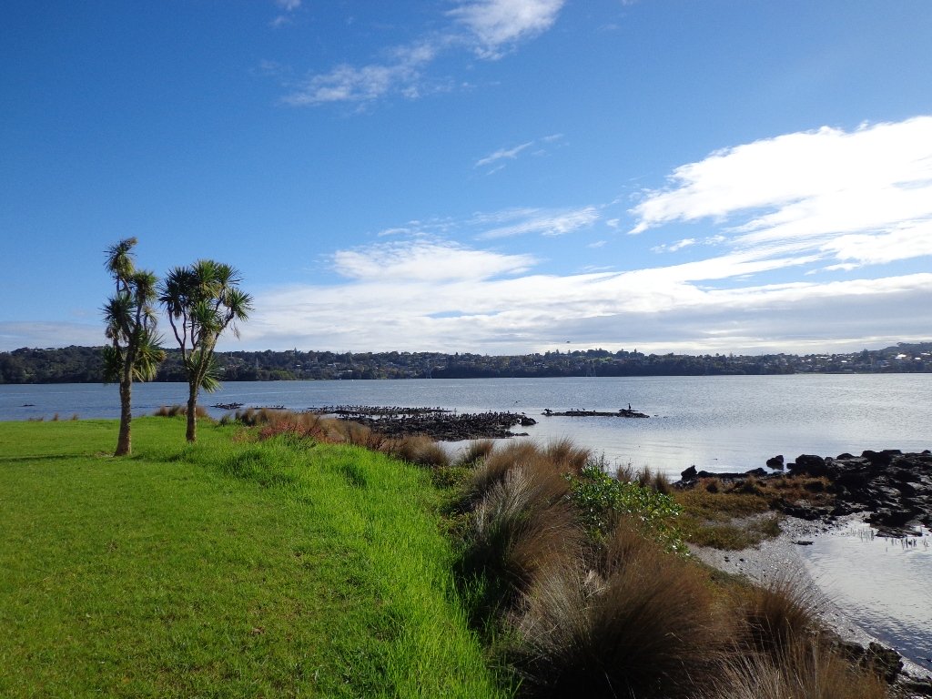
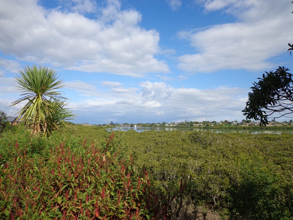
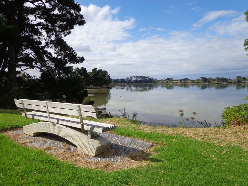
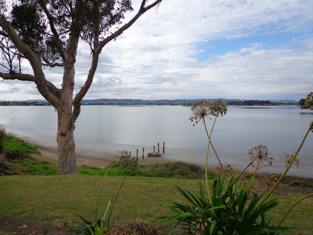
It was fabulous to walk among many silver ferns, ponga ferns and manuka trees beside the untouched paths along the edge of the reserve.

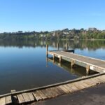
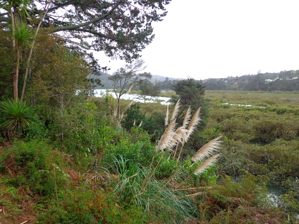
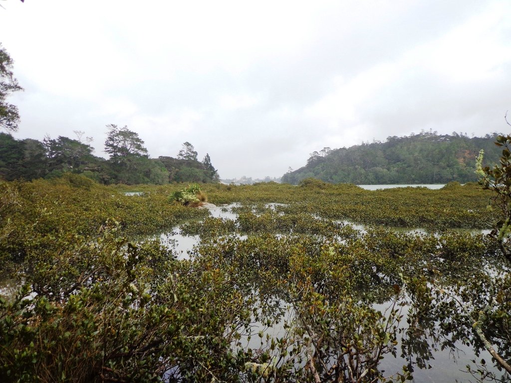
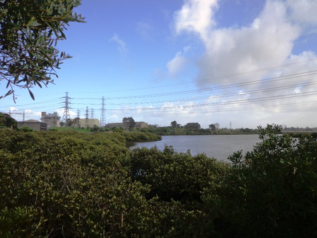
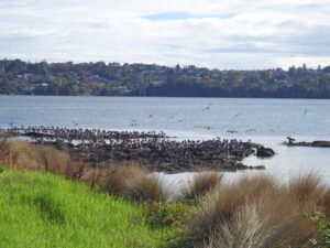
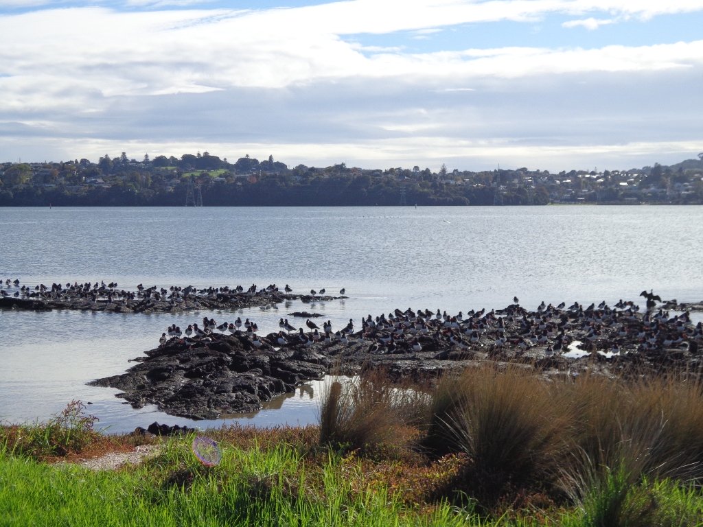
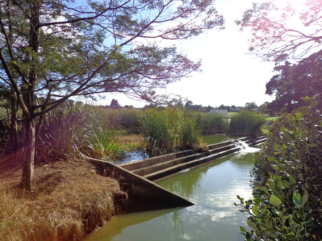
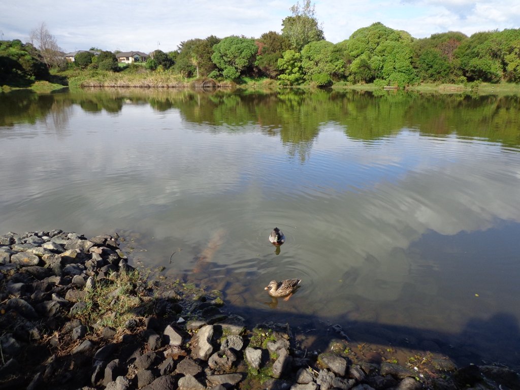
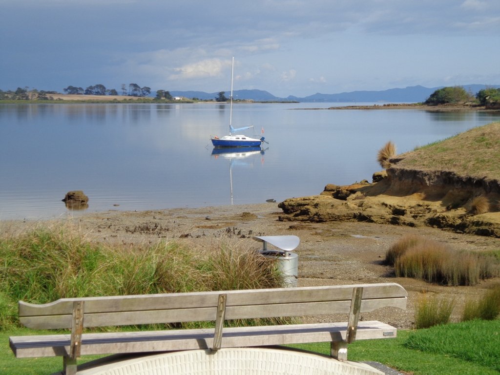
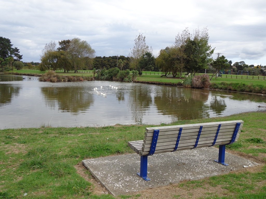
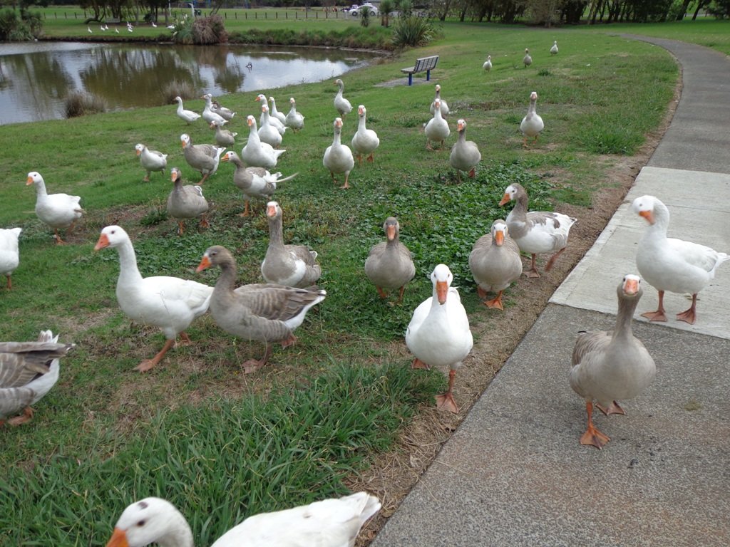
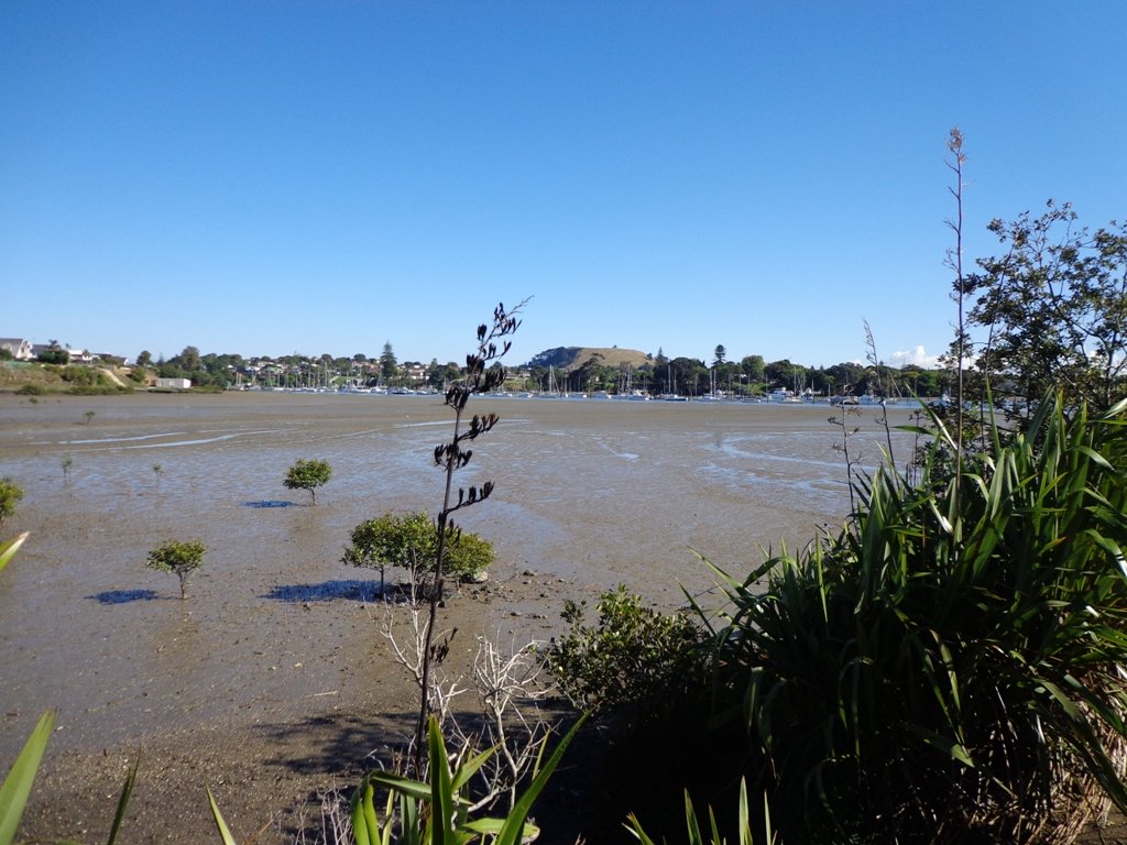
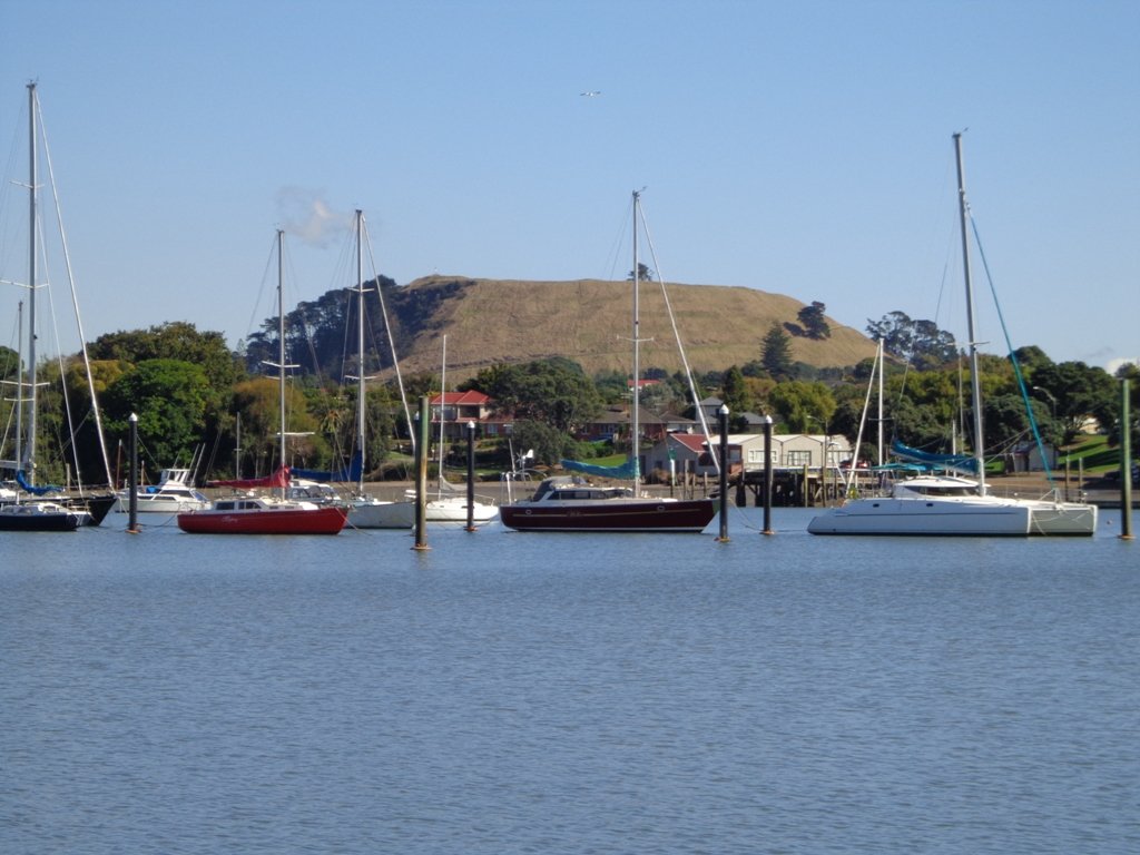
As we were about to return to the industrial edge of the reserve, we were delighted to spot a pair of adult ducks with about 10 to 12 ducklings swimming and feeding among the reeds in the wetlands of the storm water catchment Omega Pond.

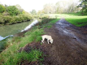
Dogs – off leash exercise areas along route.

Updated Walk Description with Google Map

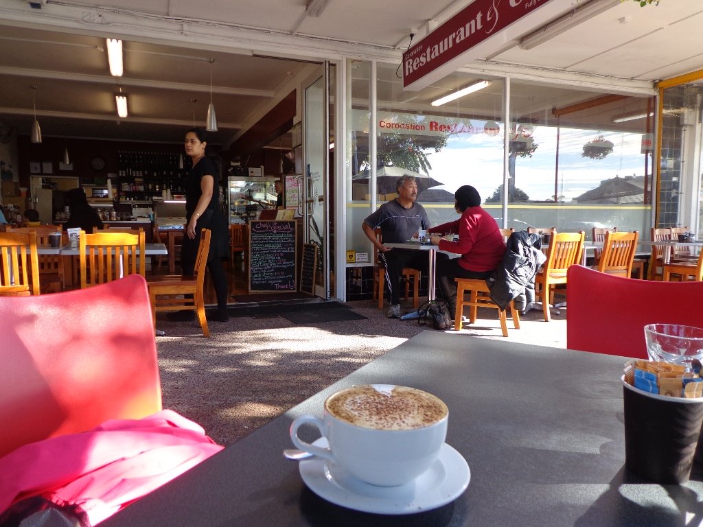
Suggested cafe: Cafe Drina

Description: Mostly level paths.
Suitable for most ages and levels of fitness and mobility, designed with flat shoes or running shoes in mind.
Suitable for wheelchairs and pushchairs/prams/buggies.
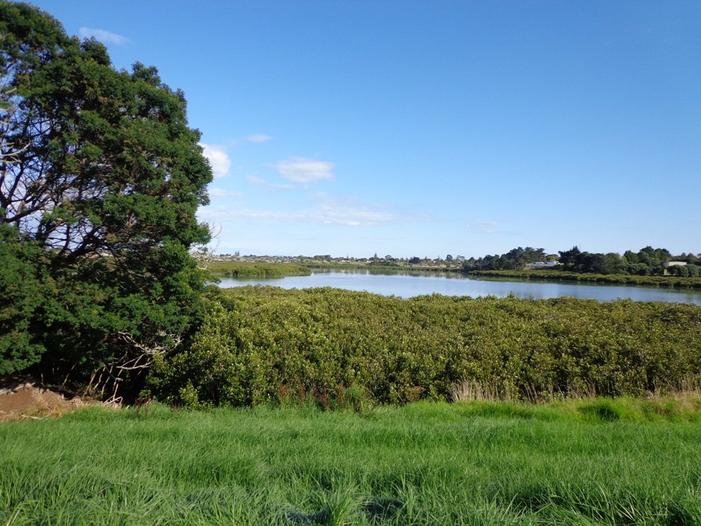
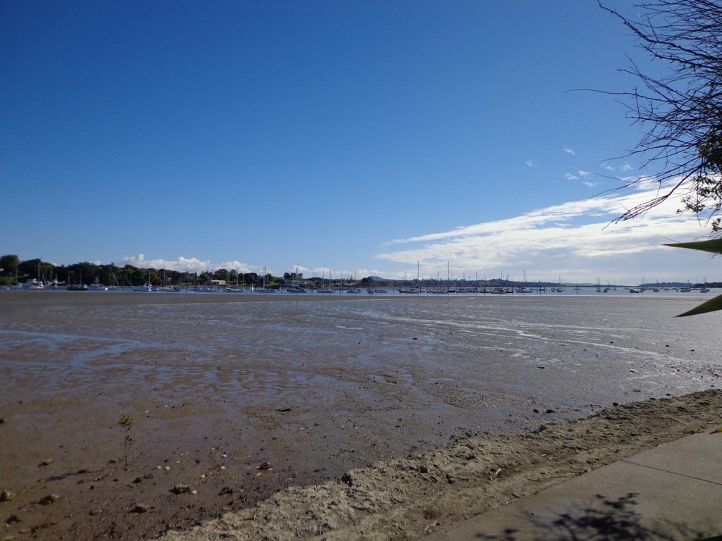
To see: Wetlands, park land, ponds.
Time: approx. 60 minutes (about 5.0 kms).
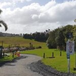
Start:  Rosedale Park. MAP

FEEDBACK April 2018:  “Having (attempted to) walk the Unsworth loop (North shore) today with baby and pram I can strongly recommend DO NOT do so. Overtime the path has been worn down and it’s almost impossible to do the loop because of the thousands of tree roots.” Please take photos and report to Auckland Council.

P3 Dog friendly walks in Auckland

Stay on track…get your detailed guide and map (AN-092 Unsworth Reserve Loop) over at our Walks Store  and our Book Store (one of 12 walks featured in our book “Dog Friendly Walks part 3”).

Beach Haven Coastal Walk

The Beach Haven coastal walk on Auckland’s North Shore hugs to the coastline with views to Bayview, Hobsonville Point and the bush that runs alongside the Upper Harbour Highway. The route follows Hellyers Creek, then all the twists and turns of the small mangrove-filled inlets, and through trees filled with birdsong.

Beachaven Coastal walk © 2011-2013 Unleashed Ventures Limited

Today was rainy and windy – the yachts sailing out from Hobsonville Point were making the most of the winds.  But we were sheltered by the trees and small gullies.

This walk begins at the Community Creche entrance to Shepherd’s Park, where there is a children’s playground  a cyclists learning track and a fitness trail, as well as sports fields. The signs indicate that dogs must be kept on-leash (but we did see dogs off leash along coastal walkway).

If you wanted to make this a day outing, you could catch a ferry from Britomart to Beach Haven.  Bring a picnic lunch.

Description: Bush track, steps, inclines. Muddy in places when wet. Suitable for users of average fitness and mobility.
To see: Native bush, views across Auckland Harbour, native birds.
Time: approx. 60 minutes. (about 5.0 kms)
Parking: Beach Haven Community Creche carpark.
Buses: Tramway Road stop on Beach Haven Road.
Ferry: to Beach Haven MAP

Cafe suggestion: CAFE AU BON COIN CAFE PATISSERIE

Stay on track…find this walk’s map and directions guide (AN-084 Beach Haven Coastal Walk) and other walk self-guides at our Walk Store.

Otara Creek Walkway

The Otara Creek Walkway in South Auckland, passes through some 220 hectares of waterway/tidal mudflats and forms a green corridor within Otara township.

Otara Creek Walkway

This huge reserve was almost empty today; we saw two cyclists and one stray dog.

This walkway is ideal for family cycling and for taking your dog for an off-leash walk. (Dogs are welcome along the walkway provided they are kept under control and do not disturb wildlife or other park users. Dogs are not permitted on sport fields or near children’s playgrounds.)

The creek has mangrove mud flats and is sadly polluted – the locals seems to take delight in dropping shopping trolleys into the creek. However, if you can overlook the neglect, you may find enjoyment in the bigger view: the sounds of the birds and the trees and the native plants within the Otara Creek Reserve.

When I got home the thought came to me what it was that was missing here.  Other walks along waterways in Auckland like Wattle Downs and Conifer Grove have homes facing the waterway, but here alongside Otara Creek, there are only fenced off back yards.  Would people feel a sense of ownership, if another row of houses inside the reserve faced the creek?

History: An Otara timeline from 1955 to 2010

Description: Mainly level paths. Suitable for users of average fitness and mobility. Dog friendly.
To see: Otara Creek and estuary, mangrove mud flats
Time: approx. 75 minutes. (about 5.75 kms)
Start from: Fair Mall, Bairds Road, East Tamaki  MAP

Stay on track…get your detailed guide and map (AS-073 Otara Creek Walkway) over at our Walks Store  and our Book Store (one of 12 walks featured in our books “Dog Friendly Walks part 3” and “Best of the South”).

Mangere Esplanade Loop Walk

Mangere Bridge - Kiwi Esplanade copyright 2013 Unleashed Ventures Limited

It was a treat to walk along Kiwi Esplanade (Mangere Bridge) at high tide in the sunshine this morning. We had clear views to One Tree Hill and nearby Mangere Mountain, and sighted the migratory South Island Pied Oyster Catchers sitting on the rocks and reserves.

It’s always a pleasure to visit Mangere Bridge Village, with it’s parade of cafes and interesting folk. The area was busy today with walkers and cyclists. 

The walking route is also great for prams/buggies and dog walkers (on leash only).

Nearby places to visit: Watercare Coastal walkwayAmbury Regional ParkVilla Maria Winery and cafeButterfly Creek,  Otuataua Stonefields historic reserve , Mangere Strawberry and Vegetable Farm @ 127 Kirkbride Road.

Other Mangere WalksMangere Bridge to Onehunga LoopAmbury Park Farm WalkMangere Mountain

Description: Mainly level paths, with just one gentle downhill slope. Suitable for users of average fitness and mobility.
To see: Views of Manukau Harbour, One Tree Hill, Mangere Mountain, Pukeko and shore birds habitat.
Time: approx. 75 minutes. (about 6.23 kms)
Start: Coronation Road, Mangere Bridge Village  MAP

Stay on track…get your detailed guide and map (AS-071 Mangere Esplanade Loop) over at our Walks Store  and our Book Store (one of 12 walks featured in our books “Coastal part 2” and “Best of the South”).


Wattle Downs Walkway

Wattle Downs in South Auckland was another new area for us to explore. The Wattle Downs Walkway goes around the edge of the peninsula that extends into Manukau Harbour, at one spot there are views through to Manukau Heads.
The day was very calm – the water was like a mirror, and there were also threatening grey clouds hanging overhead.
The walking route is also great for cyclists, prams/buggies and dog walkers (on leash and off  leash dog exercise areas).

Wattle Downs walkway © 2013 Unleashed Ventures Limited

There are many points of interest along the way, and friendly people to say hello to. We stopped and spoke to a resident whose house looked out towards Manukau Heads – he told us that they get to view amazing sunsets over the harbour.

There are wetlands and ponds active with shore birds – if you are a keen bird watcher be sure to take your binoculars.

The only thing missing in the area is a cafe.

UPDATE March 2015 ** The shared walkway/cycleway has been extended from Hadley Wood Drive to Aberdeen Crescent.


Suitable for Family cycling: Frangipani Ave to Bluewater place, 10km each way.

Wattle Downs Public Toilets

Description: Mainly level paths, one set of steps (which can be avoided). Suitable for users of average fitness and mobility. Suitable for cyclists.
To see: Manukau Heads, Manukau Harbour, Wattle Farm Wetland Reserve, shore birds
Time: approx. 100 minutes (about 8.7 kms). Dog off-leash areas. Childrens playgrounds. No cafe. Public Toilets may not be open due to vandalism issues (see image below).
Start from: Wattle Farm Reserve MAP

Stay on track…get your detailed guide and map (AS-067 Wattle Downs Loop) over at our Walks Store   and our Book Store (one of 12 walks featured in our books “Coastal part 1”, “Dog Friendly Walks part 1” and “Best of the South”).

(Click on the photos to enlarge)

Pakuranga Kentigern Loop

© 2013 Unleashed Ventures Limited

Today we set out to explore another part of the Pakuranga Rotary Walkway, this time taking a loop behind Saint Kentigern College and through Manor Park.

This mainly flat 4km walk would suit workers at Pakuranga Plaza as well as residents. Views of Mount Wellington and water craft. Great for cyclists (cycle the full length of the walkway to Pigeon Mountain) and dog walkers (on leash – please refer to comments below), and for prams/buggies .

The day was calm and the skies blue – perfect for a walk!

Description: Mainly level paths. Suitable for users of average fitness and mobility.
To see:  Views of Mount Wellington, water craft, residential homes
Time: approx. 45 minutes. (about 4.0 kms)
Start: Pakuranga Plaza MAP

Stay on track…find this walk’s map and directions guide (AE-066 Pakuranga Kentigern Loop) and other walk self-guides at our Walk Store

(Click on photos to enlarge)

Orakei Basin walkway

The  Orakei Basin walkway upgrade that began in 2010 is complete. The concrete has been poured onto a new pathway on the Macpherson Track.  And it is fantastic! The bridge over the Orakei Creek is beautiful. Now Orakei and Meadowbank are connected by a boardwalk along the railway line that both pedestrians and cyclists can use.

Orakei basin walkway

There is a pathway from Orakei Railway station and under Orakei Road that leads directly onto the boardwalk that crosses Orakei Basin beside the railway line. It is now easier to catch the train to Orakei and walk around the basin, then return and stop at the Kings Plant Barn for refreshments at the cafe.
(* Teen friendly walk)

The morning was still, clear and sunny causing the reflections on the water to be almost perfect. This tidal lagoon is in a volcanic crater. It was high tide, which we were not expecting. This walk takes you through small patches of bush and up high onto the ridge for a view of the city skyline.

Description: A mix of level and steep paths, steep steps. Suitable for most ages and levels of fitness and mobility, designed with flat shoes or running shoes in mind. Not suitable for wheelchairs and pushchairs.
This is a dog friendly walk with an off-leash area.(See other Dog Friendly Walks)
To see: Wonderful views of Mt Eden and Auckland City skyline. Small areas of bush. Railway track. Birdlife. Volcano crater.
Time: approx. 45 minutes (about 4 kms).
Parking: Near Kings Plant Barn, off Orakei Road near train station.
Buses: to Orakei Train Station
(Please note: no public toilets)

12 Volcano WalksSuggested Cafés:Kings Garden Cafe does very good coffee (and lunches) as does Cafe Greenfingers at the Palmers Garden Centre

Stay on track…get your detailed guide and map over at our Walks Store  (GS-017 Orakei Basin walkway) and our Book Store ( one of 12 walks featured in our book “Volcanoes”) or…you can download this free Orakei Basin walkway map from Auckland Council.

Moire Park, Massey

Walks in Auckland This is the second time we have been to Moire Park in Massey/West Harbour West Auckland (the first time was 12 months ago).  The park has many paths of different grades to suit all kinds of walkers. The walking circuit we have documented takes in the variety of the paths and scenery – from native bush to a hill view of the City.

This is a dog friendly walk. (See other Dog Friendly Walks) And there is a variety of playgrounds for children to enjoy. There is a BBQ and picnic area available.  And a Pump Park for young cyclists.

walks in auckland

We studied the map near where we parked the car in Granville Drive (a great looking children’s playground nearby). We thought we had it sussed and set off. We had a print-out of the map with us because even though there are markers pointing out the tracks, they are not numbered or colored. This area would be enhanced with better sign-posting.

Note: this GPS Google Map is of Moire Park and does not include some of the extra walking described in the description below and brochure.

Description: A mix of level paths and steep paths. Suitable for users of average fitness and mobility. May require boots in wet weather, running shoes suitable in dry weather. Muddy tracks after rain.
To see: Auckland City views, Waitakere Hills view, native trees and fauna, urban development.
Time: approx. 75 minutes. (about 6 kms)
Start: Westgate Shopping Centre. MAP

Stay on track…get your detailed guide and map over at our Walks Store  (GS-031 Moire Park Bush Walk) and our Book Store (one of 12 walks featured in our books “Urban Bush” and “Dog Friendly Walks part 1”).

Westgate Loop walk

walks in Auckland

It has been a challenge to find an interesting walk from Westgate Shopping Centre that meets our criteria – this one is not one of the best, but it does have a small amount of bush and a few ponds (where there are ducks that would be happy to be fed) to break up the monotony of new residential and the big box shopping area. Dogs on-leash.

It is great that a bridge has been built for pedestrians/cyclists to cross the Northwestern Motorway, to and from the West Harbour side. A walk to Moire Park is now achievable, and the residents of Massey and West Harbour have easy access to the shopping area.

This short loop walk begins from the cafe (Robert Harris and Sierra) area, and leads down to the newly formed ponds. We followed our noses and were surprised to find that we had walked as far as Royal Reserve.

One gem on this walk is the view towards the city skyline – an unexpected bonus.

Best of the West - Short Walks in Auckland

Description: A mix of mostly level paths and slightly steep paths. Suitable for users of average fitness and mobility. May require boots in wet weather, running shoes suitable in dry weather.
To see: Native trees and fauna, new housing developments, City view.
Time: approx. 45 minutes. (about 3.4 kms)
Start: Westgate Shopping Centre MAP

Stay on track…get your detailed guide and map, download this walk for FREE here and from our Book Store (one of 12 walks featured in our book “Best of the West“).

Mission Bay – walking in the rain

Walks in AucklandIt was a big decision today, do we do the Mission Bay walk this morning, this afternoon, tomorrow… The weather was looking grim and the weather forecast even grimmer. We decided – this morning. It rained on and off, there was a bit of blue sky, and the coffee at De Fontein was very good!

Mission Bay buzzes on sunny summer bays with lots of activity in the water, the foreshore and the cafes. It was still busy today with people braving the rain because it was not that cold. What is there to do in Mission Bay? Click here.

This walk takes you along the short beach promenade and up on the clifftops overlooking Hauraki Gulf and the city skyline. You do have to look out for cyclists when you walk along the shared pathway.

Walks in AucklandMission Bay has a great choice of cafes, eateries (Japanese, Indian, Mexican, Italian…) and one special ice-cream parlor! Meet your friends by the fountain and enjoy the fresh salt air by the harbour.


Description: A mix of level paths, steep paths and steps. Suitable for most ages and levels of fitness and mobility, designed with flat shoes or running shoes in mind. Not suitable for wheelchairs and pushchairs.
To see: Wonderful views of Rangitoto, Hauraki Gulf and Auckland City.
Dogs: On leash only. Children’s Playground=Yes
Start Point: Tamaki Drive, Mission Bay

Stay on track…find this walk’s map and directions guide (AC-018 Mission Bay Loop) and other walk self-guides at our Walk Store

Suggested Cafés: Various along Tamaki Drive
(the coffee is very good at De Fontein – reviewed here)