Tag Archives: Cafes

Downtown and pink pathway loop

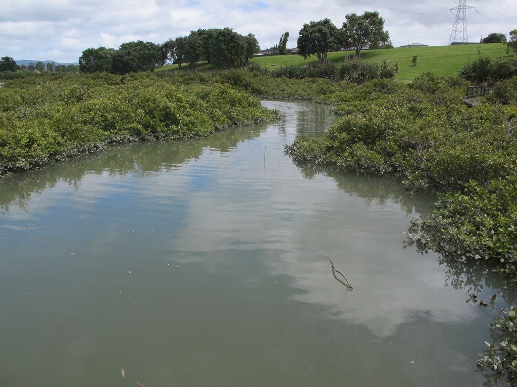
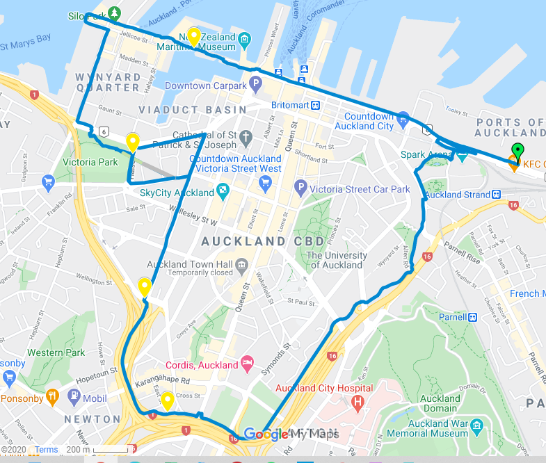
Enjoy a circular 8.5km central Auckland walk that takes in some of our cities great sites, including the historic Downtown Ferry Building, buzzing Wynyard Quarter, Victoria Park, eye-catching Pink Pathway and Auckland University. This adventure provides stunning views across Auckland, plenty of opportunities for cafe’s & ice creams and essentially circumnavigates the central city.

Auckland Pink Bike Path
The iconic Auckland Pink Pathway for walking and biking

We completed the route by starting by the Spark Indoor Arena (as more parking opportunities) and venturing in an anti-clockwise direction. Catching a bus or train to Britomart and walking to the Ferry Terminal and commencing from there would make a great starting point if you were making use of public transport.

Walk Time 2 – 2.5 hours (approx 8.5km)
SurfacePaved
Difficulty2 – hills from downtown to the pink pathway
Buggies/WheelchairsSuitable
FacilitiesToilets, Cafe’s, Drinking Fountains, Dedicated cycleway/walkways
HighlightsWaterfront, Pink Pathway, City Sites

Link to open Google Map in a separate tab or tap the icon in the top right of this map.

Download a printable version of the Downtown and Pink Pathway Loop Walkway Map.

Downtown and Pink Pathway Loop Description

Auckland Historic Ferry Building

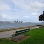
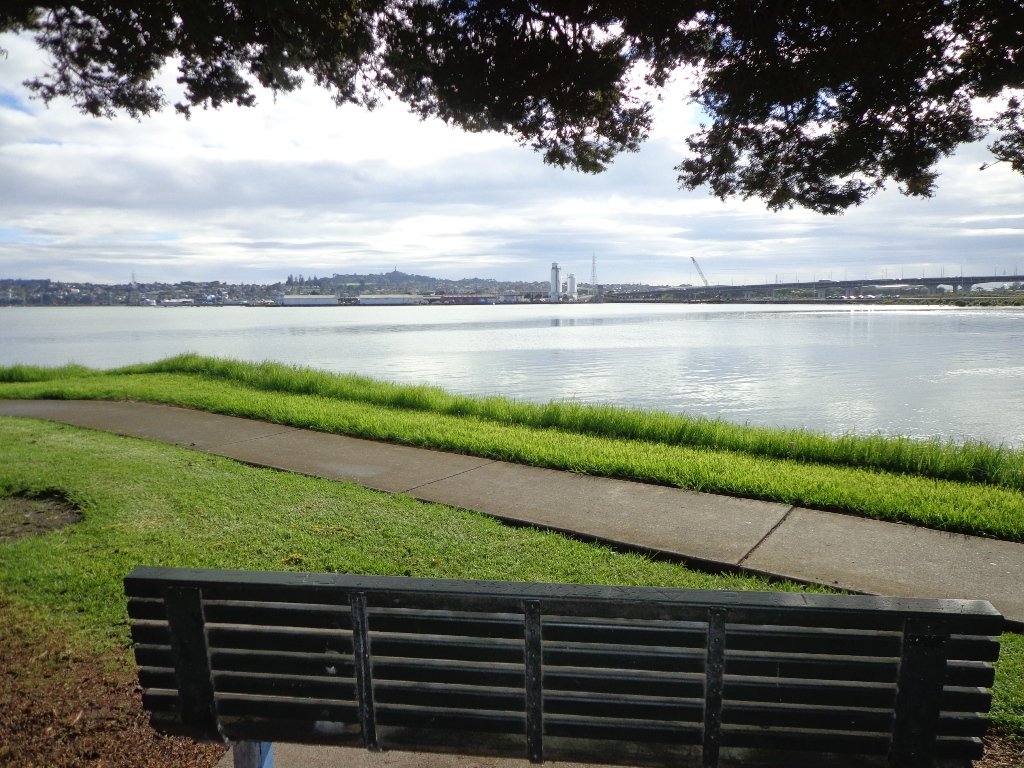
We commenced our walk by the Spark Arena due to better parking but quickly made our way past the historic Auckland Ferry Terminal as we enjoyed the views of Auckland’s waterfront and harbour.

This is always a busy and bustling part of town as people come and go from the Britomart Bus & Train Terminal and Auckland’s Ferries.

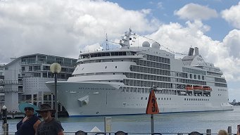
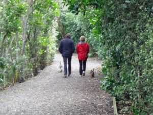
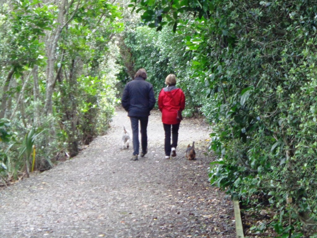
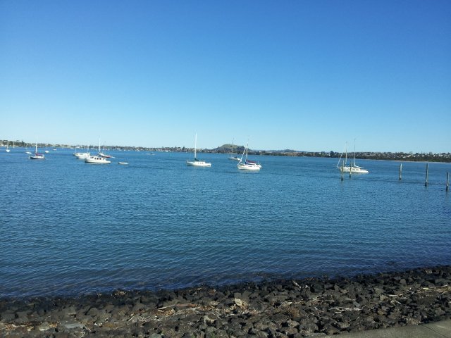
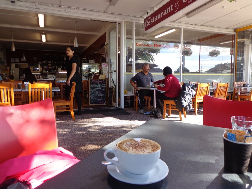
At the Ferry Terminal are a range of cafe’s and restaurants, including the Island Gilato ice cream cafe. If you want to make a whole day of it, perhaps take a trip to Devonport also on a Fullers ferry. As you pass the wharf, maybe there will be a cruise ship to admire or just enjoy the sparkling Waitemata Harbour.

Check out Devonport walks here.

Cruise Ship in Auckland

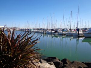
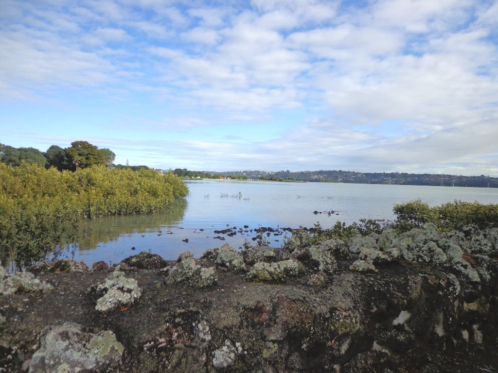
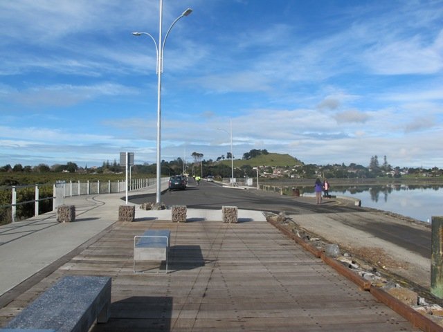
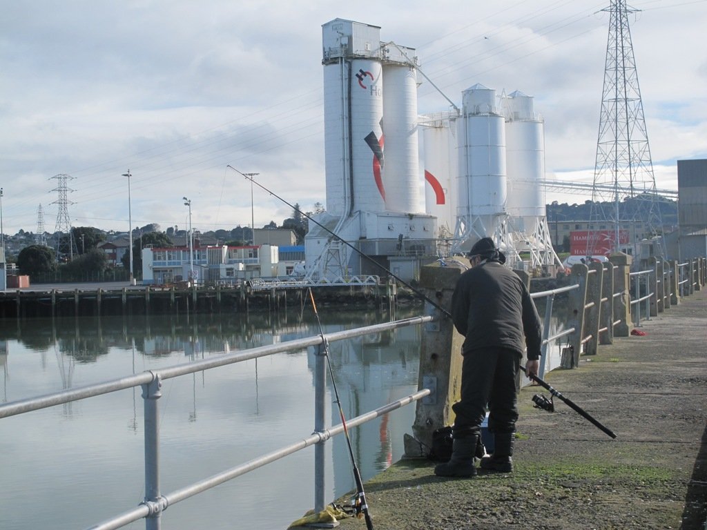
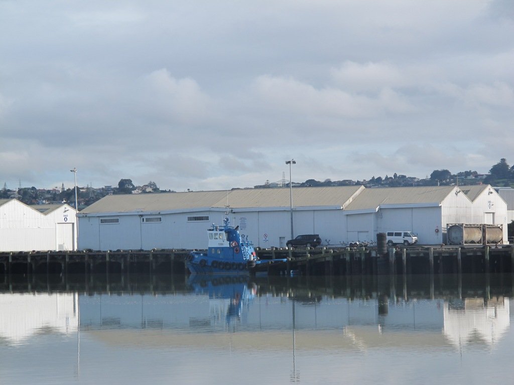
Continue your journey heading to Wynyard Quarter, including a view of the historic vehicle lighter-basin draw-bridge before crossing the newer pedestrian draw-bridge. Take in the views of the large launches and yachts moored at the wharves. Wynyard Quarter and Tank Farm have been extensively redeveloped over the past few years and often have a variety of interesting entertainment and feature events.

Downtown Drawbridge

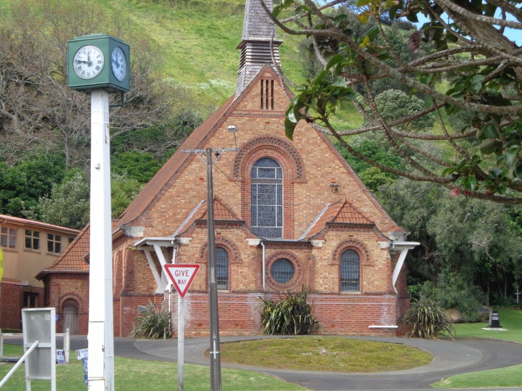
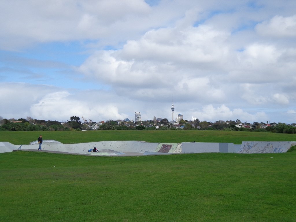
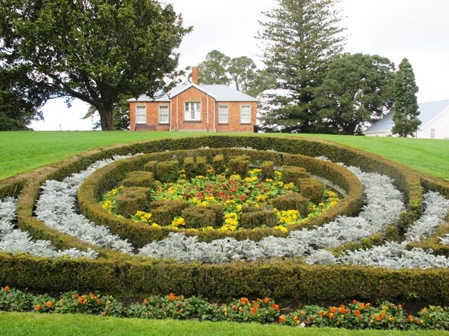
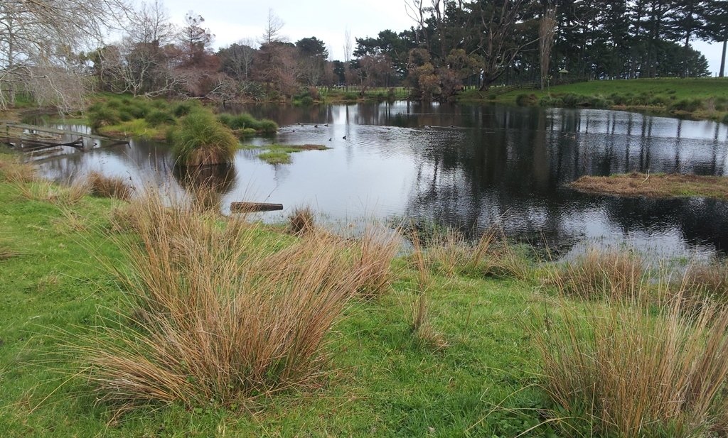
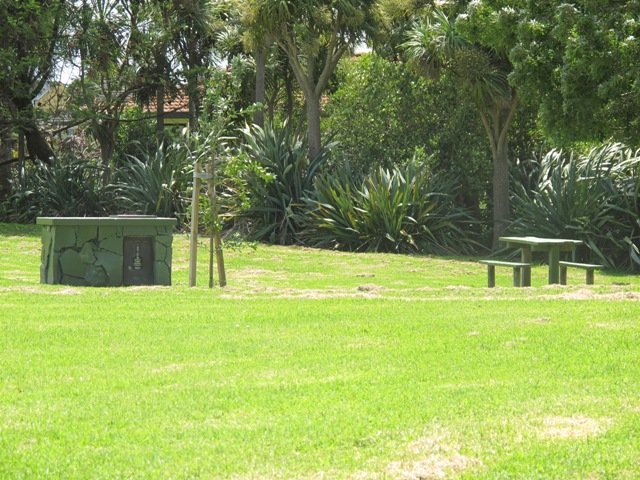
Next, head to ‘greener pastures’ as you leave the Wynyard Quarter via Beaumont St and enjoy the open spaces of Victoria Park, home of Grafton Cricket Club. There are also toilets and water, as well as playgrounds and a skate park. Enjoy the many beautiful large trees that inhabit this Downtown Auckland park. You may also want to take a small detour to Victoria Park Market, the most famous of Auckland’s markets.

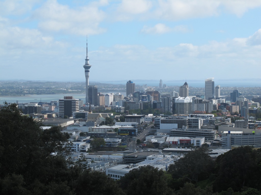
Its now time to start your ascent which will eventually get you to the famous Pink Pathway. You have a choice of walking via Fanshawe St or Victoria St, both options include a steep climb and arrive on Nelson St, just a block away from the Sky Tower. This part of the walk includes plenty of road crossing and traffic lights but is safe and easy to navigate.

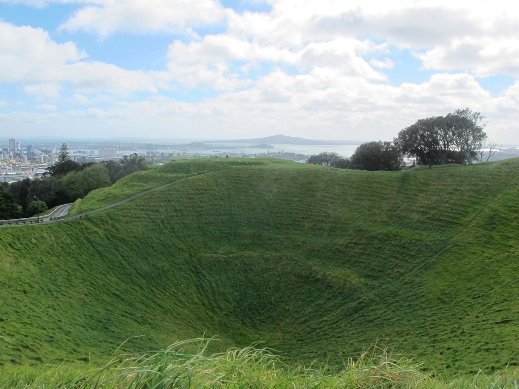
At the top of Nelson St, you are greeted with the entrance to Aucklands Pink Pathway, constructed to efficiently join the west side of the city center with the eastern side over the top of Auckland’s busy motorway spaghetti junction. It enables direct access to Grafton Gully and Auckland University, while also joining the Western bikeway. The Pink Pathway is well illuminated at night, making it a safe option even in the dark. Experience the hum of the city as you walk on top of the motorway and the views from the transparent sides.

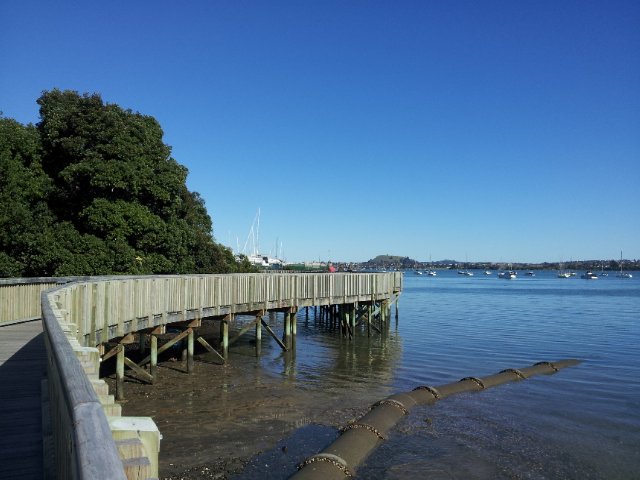
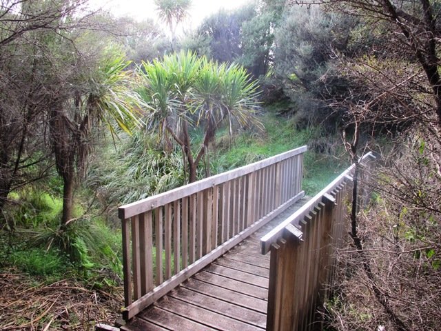
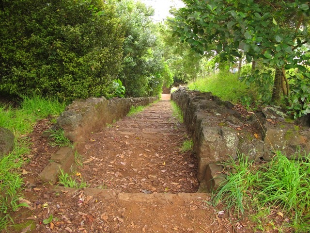
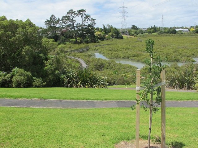
As you leave the pink walkway, you head to Upper Queen St and follow the signs to the Grafton Gully bike-path/walkway. Follow this path downhill all the way back towards the bottom of Parnell. On your left is Auckland University and on your right is the Auckland Domain, Its a beautiful walkway and all the better enjoying it heading downwards! Once you return to near sea level, the path cuts through the base of Constitution Hill and along Beach Rd until making your way back to the Spark Arena or Ferry Terminal.

Buggies and Wheelchairs

The walk is suitable for buggies and wheelchairs. Just be prepared for some effort pushing them up Victoria and Nelson Streets,

History of Aucklands Ferry Terminal

Devonport Walks

Victoria Park Market

Pink Pathway

Parnell Rose Gardens Loop With Views And Beautiful Scents


Beautiful gardens, huge Pohutukawa trees, history, sculptures, monuments, swimming and wonderful Harbour views ensure the Parnell Rose Gardens Loop is a walk for all to enjoy.  Add to this the onsite Redwall Chinese Restaurant and famous Rosie Cafe and you have the perfect experience. 

Historic St Stephens Church and Cemetary
Historic St Stephens Church and Graveyard – built 1859

Continue reading Parnell Rose Gardens Loop With Views And Beautiful Scents

Walks around Devonport Auckland

Devonport is one of our favourite places to walks in Auckland. The combination of harbour and city views, Victorian style homes and fabulous cafes makes it an enjoyable place to visit.

We have put together three one hour loop walks starting from the Devonport ferry terminal.

Walks in Auckland North Head Devonport © 2011-2013 Unleashed Ventures LimitedDevonport to North Head. Take your torch for the tunnels and your camera to capture the views across the Gulf!
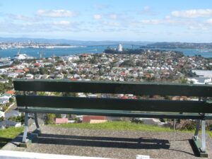
 

Read more: Devonport and North Head Loop Walk


Walks in Auckland
Mount Victoria, Devonport

Devonport to Mt Victoria. Spectacular views, historical cottages and interesting shops on this loop walk.


Read more: Spectacular views from Mt Victoria Devonport

Devonport © 2011-2013 Unleashed Ventures Limited
Devonport to Ngataringa. Walk along the esplanades and parades of Devonport with the view across the Gulf and to the skyline of the city and beyond. Take the time to admire the beautifully kept Victorian style homes. Followed by the sounds of birds as you walk alongside Ngataringa Park. Read more :Devonport Ngataringa Loop


Devonport Ngataringa Loop

Devonport © 2011-2013 Unleashed Ventures Limited

With the weather looking uncertain and the wish to keep our shoes out of the mud, today we headed over to one of our favourite places to walk in Auckland – Devonport. We were uncertain of where we were headed, and as it turned out, we were very pleasantly surprised at how well our circular route revealed itself.

As always, it is uplifting to walk along the esplanades and parades of Devonport with the view across the Gulf and to the skyline of the city and beyond. And then the joy of looking at the beautifully kept Victorian style homes.  Followed by the sounds of birds as we walked alongside Ngataringa Park.

Dogs – off leash exercise area in Ngataringa Reserve.

We are then spoilt for choice as to where to stop for refreshments, and choosing from the many cafes can take time!

Description: A mix of level paths, steep paths and steps. Suitable for most ages and levels of fitness and mobility, designed with flat shoes or running shoes in mind. Not suitable for wheelchairs and pushchairs.
To see:  Hauraki Gulf and Auckland City views, historical buildings, Victorian style homes.
Time: approx. 60 minutes (about 5.5 kms).
Parking:  In Devonport Village near ferry terminal or along King Edward Parade. MAP

Stay on track…find this walk’s map and directions guide (AN-089 Devonport Ngataringa Loop) and other walk self-guides at our Walk Store

Half Moon Bay East

Half Moon Bay marina - ©2013 walksinauckland.com

This walk at Half Moon Bay explores the parks and reserves to the east, and then heads down to Eastern Beach. On a sunny day at high tide it is quite beautiful! The new-ish boardwalk, is a great finishing touch as you return to Half Moon Bay.

It was very busy at the Half Moon Bay cafes today – with many people out making the most of the sunny, warm weather and Mothers Day.

Description: Mainly level paths, steep steps and steep slopes. Suitable for users of average fitness and mobility.
To see: Views of Tamaki Estuary, marina, Eastern Beach Esplanade; views of Rangitoto, Mount Wellington and One Tree Hill
Time: approx. 75 minutes. (about 6.0 kms)
Start from: Half Moon Bay Marina  MAP

Stay on track…get your detailed guide and map (AE-072 Half Moon Bay East) over at our Walks Store  and our Book Store (one of 12 walks featured in our books “Coastal part 2” and “Best of the East”).


Mangere Esplanade Loop Walk

Mangere Bridge - Kiwi Esplanade copyright 2013 Unleashed Ventures Limited

It was a treat to walk along Kiwi Esplanade (Mangere Bridge) at high tide in the sunshine this morning. We had clear views to One Tree Hill and nearby Mangere Mountain, and sighted the migratory South Island Pied Oyster Catchers sitting on the rocks and reserves.

It’s always a pleasure to visit Mangere Bridge Village, with it’s parade of cafes and interesting folk. The area was busy today with walkers and cyclists. 

The walking route is also great for prams/buggies and dog walkers (on leash only).

Nearby places to visit: Watercare Coastal walkwayAmbury Regional ParkVilla Maria Winery and cafeButterfly Creek,  Otuataua Stonefields historic reserve , Mangere Strawberry and Vegetable Farm @ 127 Kirkbride Road.

Other Mangere WalksMangere Bridge to Onehunga LoopAmbury Park Farm WalkMangere Mountain

Description: Mainly level paths, with just one gentle downhill slope. Suitable for users of average fitness and mobility.
To see: Views of Manukau Harbour, One Tree Hill, Mangere Mountain, Pukeko and shore birds habitat.
Time: approx. 75 minutes. (about 6.23 kms)
Start: Coronation Road, Mangere Bridge Village  MAP

Stay on track…get your detailed guide and map (AS-071 Mangere Esplanade Loop) over at our Walks Store  and our Book Store (one of 12 walks featured in our books “Coastal part 2” and “Best of the South”).


Kingsland Explorer

Today we explored a walk that we have driven past many times on the North Western Motorway.  This short walk in central Auckland starts off at Kingsland Railway Station, and explores the shops, residential streets, reserve and park in the local area (and like all of our circular Auckland walks – you may choose to start from other places along the route).

DSC00042

Kingsland is full of character with interesting olde worlde shops, cafes, bars and pubs which were a great feature for the 2011 Rugby Word Cup.  Sitting in the cafe, you could imagine that you had gone back in time. Our retail discovery was a Made in New Zealand shop called Mixt Art & Design which has some very unique products.

Description: A mix of level and steep paths. Suitable for users of average fitness and mobility.
To see:  Kingsland Shops, cottage style homes, bush track
Time: approx. 60 minutes. (about 5.0 kms)
Parking: Off new North Road
Start: Kingsland Railway Station MAP

Stay on track…find this walk’s map and directions guide (AC-064 Kingsland Explorer) and other walk self-guides at our Walk Store

Greenwoods Corner walks

These Auckland walks start from Greenwoods Corner.
Greenwoods Corner is a small village in the Auckland suburb of Epsom, nestled under One Tree Hill. It is named after William Greenwood whose homestead was on the site of the current ASB Bank. The village has a selection of small businesses; a great butcher, good cafes, restaurants, clothing and gift shops, and friendly people. Buses come and go regularly.

At Greenwoods Corner you could purchase picnic food, and then head out to visit  One Tree Hill/Cornwall Park to see the lambs, or visit the Stardome Observatory, then take a walk around the retail area, see heritage buildings, homes built in the early 1900’s with well-kept gardens, and local parks.

Greenwoods Corner Village, Auckland

View of Pah Homestead

Pah Homestead Loop
This central Auckland walk starts from Greenwoods Corner, takes you through the streets of Epsom to the beautiful big park of Monte Cecilia where you can walk around and view the extraordinary TSB Bank Wallace Arts Centre within the wonderfully restored Pah Homestead.

Description: A mix of level paths, steps and slightly inclined paths. Suitable for users of average fitness and mobility. May require boots in wet weather, running shoes suitable in dry weather.
To see: Suburban streets, Monte Cecilia Park, Pah Homestead, TSB Bank Wallace Arts Centre, old trees – native and exotic, views of One Tree Hill and Mangere Mountain
Time: approx. 60 minutes. (about 5 kms)

Walks in Auckland
One Tree Hill

Cornwall park/One Tree Hill Loop
Description: A mix of mainly level paths, and a few steep paths. Suitable for users of all ages and abilities, suitable for normal footwear and for wheelchairs and pushchairs.
To see: City views, harbour views, trees, Volcano, farm animals, observatory. The Park is home to many birds ranging from Native Pigeon, Fantail to California Quail, White-faced Heron and Paradise Shelduck.
Time: approx. 60 minutes (about 5.3kms)

You can download these free walks when you enter your contact details here

Mangere Bridge to Onehunga Loop Walk

Another sunny winter morning in Auckland and no wind – perfect for a walk in Mangere and Onehunga!  The Manukau Harbour tide was in and the water was like a mirror!

View of Mangere Mountain from the old Mangere Bridge

Many people were out walking, running, cycling and fishing.

This walk takes in views of Mangere Mountain and Manukau Harbour, the harbour shore birds, mangrove swamp area, Onehunga Wharf, Onehunga Mall, a dog off-leash area in Onehunga Bay Reserve, Jellicoe Park (with it’s historical houses, picnic tables, children’s playground and public swimming pool). With a distance of 7.5kms, it is a bit longer than our usual walks.

There are several cafes to choose from at Mangere Bridge village along Coronation Road as well as a good choice of funky cafes in Onehunga.

You could even catch the train to Onehunga and pick up the walk from the station!

The New Zealand Transport Agency is proposing to replace the old Mangere Bridge.  Stop and relax at Onehunga’s beach Taumanu. Discover more about Onehunga’s rich past, click here.

Nearby places to visit: Watercare Coastal walkwayAmbury Regional ParkVilla Maria Winery and cafeButterfly Creek,  Otuataua Stonefields historic reserve , Mangere Strawberry and Vegetable Farm @ 127 Kirkbride Road.

Other Mangere Walks:  Ambury Park Farm WalkMangere MountainMangere Esplanade Loop

Description: A mix of mainly level paths, steps and inclined paths. Suitable for users of average fitness and mobility. May require boots in wet weather, running shoes suitable in dry weather.
To see : Views of Mangere Mountain and Manukau Harbour, the harbour shore birds, mangrove swamp area, Onehunga Wharf, Onehunga Mall, a dog off-leash area in Onehunga Bay Reserve, Onehunga’s beach Taumanu, Jellicoe Park (with its historical houses, picnic tables, children’s playground and public swimming pool)
Time : approx. 90 minutes. (about 7.5 kms)
Start from: Coronation Road or Church Road

Stay on track…find this walk’s map and directions guide (AC-049 Mangere Bridge to Onehunga Loop) and other walk self-guides at our Walk Store

Family walk around Panmure Basin

It takes only 30 minutes to walk around the Panmure Basin – another Auckland volcanic crater, but if you take young children with you then it may take longer.  Take the tricycles and scooters – this is a mostly flat walk, as there are only two steep bits.

Panmure Basin is a fun family walk in Auckland with several distractions – there is access to 3 playgrounds, and on weekends there is a mini-train ride (runs on Sundays from 1pm to 4pm) and you can stop and watch people controlling their boats on the pond. Keep an eye on the tide chart – it does look prettier at high tide.

You can see the nearby volcano cone of Mt Wellington from the lagoon and if you look carefully from the Jubilee Bridge, One Tree Hill in the far distance.

Nearby is a skate park and the Lagoon Leisure and Fitness Centre, Lagoon Dr, Panmure – Here you’ll find outdoor pools, a hydroslide, diving boards, and an adventure playground – all kid magnets in the summer. The outdoor area and gardens with barbecues and shaded picnic tables are great for family picnics and functions (source NZ Herald).

The walking route is also suitable for prams/buggies and dog walkers (on leash only). This walk has a fitness trail.

Also nearby is Mount Wellington Domain which is fun to explore and has great views of Auckland.

This area does lack nearby cafes but if you have a car you may want to venture to Pakuranga Plaza or Sylvia Park.

Description: Mostly level path, only 2 slight inclines. Suitable for users of average fitness and mobility. Running shoes suitable in dry weather.
To see: Mt Wellington, boats, water birds
Time: approx. 45 minutes. (about 4 kms)
Start: Panmure Train Station MAP

Stay on track… download this walk (AC-045 Panmure Basin) for free

Click to open the Google Map in a separate tab or tap on the icon in the top right of the map.

Puhinui Reserve Walkway

Puhinui Reserve Walkway was another new discovery for us today.  It is a huge (199 hectares of rural landscape) undeveloped area out near Auckland Airport (off Price Road, off Puhiniu Road).

Puhinui Reserve Walkway will eventually link up with Te Araroa – The Long Pathway.

walks in Auckland

Puhinui Reserve forms part of the extensive Matukuturua volcanic field and is linked with pre-European settlements centred around Wiri Mountain (which has been extensively quarried) and Matukutura (McLaughlins Mountain). The area is used for a 3 day equestrian event once a year.  It is a great area for safe family cycling on mountain bikes. This is a mostly flat walk. Dogs are not permitted as it is a conservation area for birdlife (such as the rare or endangered NZ Dotterel, wrybill, fernbird, and black stilt). Take a picnic – there are no nearby cafes.

The walking route is suitable for mountain buggies. Puhiniu Reserve is a great place to visit from about the end of July to see the newborn lambs and calves.

Best of the South: Short walks in Auckland

Description: A mix of level paths and slightly inclined paths. Suitable for users of average fitness and mobility. May require boots in wet weather (mud and puddles), running shoes suitable in dry weather.
To see: Manukau Harbour conservation land, farmland and farm animals, view of McLaughlin Mountain (volcano), native bush.
Time: approx. 80 minutes. (about 6.50 kms)
Start: Price Road (off Puhinui Road, Wiri) MAP

*** Download this walk AS-039 Puhinui Reserve Loop for free when you enter your details here. *** or…

One of 12 walks available in “Short Walks in Auckland: Best of the South”. Visit our book store to get your copy.

Mt Eden Walk Circuit

Mt Eden is one of the most popular places to visit in Auckland. Today’s walk around Mt Eden in  autumn sunshine and clear skies was wonderful.  We enjoyed the fly past of the Spitfires and DC3’s at 10am to commemorate Anzac Day.

This walk around Mt Eden takes you along the road and smaller tracks up and around the summit and crater, to give you an idea of the immense size of this volcano.

walks in Auckland

View of Rangitoto Island from Mt Eden, AucklandFriends of Maungawhau have kept up with planting native trees, so that in time, the mountain will have improved heritage protection.

Since our last visit, the work undertaken on the water reservoir has been  completed, so we have added an extra optional loop to take in a bigger view of Auckland City and the harbour.

Google Map

Highlights

This very popular visitor’s site gives fine views of Eden Park (home of the All Black’s Rugby Team), the Waitakere Ranges, Rangitoto Island, Mt Victoria, North Head, Mt Hobson and more…Why visit Mount Eden?

There is a good sized childrens playground (and a flying fox).  And Mt Eden village offers a good choice of cafes.

Dogs – this walk includes an off leash dog exercise area.

Description

Description: A mix of level paths and steep paths/steps. Suitable for users of average fitness and mobility. May require boots in wet weather. Sturdy shoes required to cope with loose gravel, tree roots and small rocks. Caution: Muddy and slippery when wet.
To see: Volcano crater, Auckland City views, Waitemata Harbour views and the Waitakere Hills.
Time: approx. 60 minutes (about 4.74 kms).
Start: Owens Road (off Stokes Road/Mt Eden Road) MAP

12 Volcano Walks

Stay on track…get your detailed guide and map over at our Walks Store  (AC-004 Mt Eden Walk Circuit) and our Book Store (“Volcanoes”, “Dog Friendly Walks part 2”).

12 Volcano Walks
12 Volcano Walks

Mount Eden is featured in our book “Volcanoes”. Available from AmazonShort Walks in Auckland: Volcanoes (and on Kindle)

Onehunga to Pah Homestead

Another fine autumn day. And a wonderful walk in Auckland up through Onehunga Mall and across to the Pah Homestead in Monte Cecilia Park.  This walk is certainly diverse! The Onehunga Railway station is a great spot to arrive in Onehunga at the southern end of the mall.   From here you can either amble slowly and enjoy the curious collection of shops, seek out some of Onehunga’s landmarks or just push on up the hill. Once you reach Monte Cecilia Park you can enjoy the magnificent old trees and the views across to One Tree Hill and Mangere Mountain, before heading down to Onehunga Bay Reserve. Or you can linger longer and walk around Pah Homestead and view the art collection at the TSB Bank Wallace Arts Centre.

Tree lovers may like to read this NZ Herald article: Growing our heritage

This walk takes in 3 children’s playgrounds and numerous cafes.

** Catch the train to Onehunga and consider making this into a day outing by taking the time to discover the places of interest along the way.  Onehunga Heritage Walks.  Dressmart Outlet Shopping offers a large range of products.  Sunday indoor markets  **

Description: A mix of level paths, steps and slightly inclined paths. Suitable for users of average fitness and mobility. May require boots in wet weather, running shoes suitable in dry weather.
To see: Historic cottages, Views of One Tree Hill and Mangere Mountain, Historic Homestead and parkland
Time: approx. 90 minutes. (about 7.5 kms)
Parking: Princes Street Onehunga MAP Buses: Onehunga (Municipal Place)

Recommended cafes: The Library Cafe and Columbus Coffee

Stay on track…get your detailed guide and map (AC-038 Onehunga to Pah Homestead) at our  Walks Store or walk from Greenwoods Corner in Epsom

Avondale Whau River walk

walks in Auckland

The Avondale Whau River walkway from New Lynn, was a new discovery yesterday. The Whau River is almost full of mangroves but it does have a boardwalk going across thanks to Dawn Persson’s commitment to the Avondale Community.

This is a dog friendly walk with an off-leash exercise area and is a mostly flat walk – just one gentle rise after the boardwalk. The walking route is also suitable for prams/buggies.

You may like to pack a picnic or take advantage of the nearby New Lynn Cafes.

Description: A mix of mainly level paths and one slightly steep path. Suitable for users of average fitness and mobility. May require boots in wet weather, running shoes suitable in dry weather.
To see: Water birds, Mangroves, river views, boardwalk
Time: approx. 50 minutes. (about 6 kms)
Parking: Lynn Mall Shopping Centre Carpark

Stay on track…get your detailed guide and map (AW-030 Whau River Loop) over at our Walks Store and our Book Store (one of 12 walks featured in our books “Dog Friendly Walks part 2” and “Best of the West“).

Henderson Opanuku Stream Circuit

walks in Auckland

The Henderson Opanuku Stream walk comes under Project Twin Streams. A great deal of progress has been made. It is a very pleasant short bush walk among the native trees – two giant kauris and many macrocarpas, and the sound of birds. 
This is a dog friendly walk with an off-leash area. And a mostly flat walk.

More work needs to be done on making sign posting clear to encourage more people to get out and discover what a beautiful area it is. The area would also benefit from BBQ areas and children’s playgrounds to encourage more families to enjoy the outdoors.

The walking route is also suitable for prams/buggies and dog walkers (on leash only).

This is another walk that you can get to by rail and make it a day outing as Henderson Railway Station is close by. You may like to pack a picnic or take advantage of the Henderson Cafes.

Description: Mostly level paths. Suitable for users of average fitness and mobility. May require boots in wet weather, running shoes suitable in dry weather.
To see: Trees and fauna, stream, parks.
Time: approx. 75 minutes. (about 5.2 kms)
Start: Opanuku Reserve off Henderson Valley Road MAP

Stay on track…get your detailed guide and map (AW-029 Henderson Opanuku Stream Circuit) over at our Walks Store  and our Book Store (one of 12 walks featured in our books “Urban Bush” and “Best of the West“).