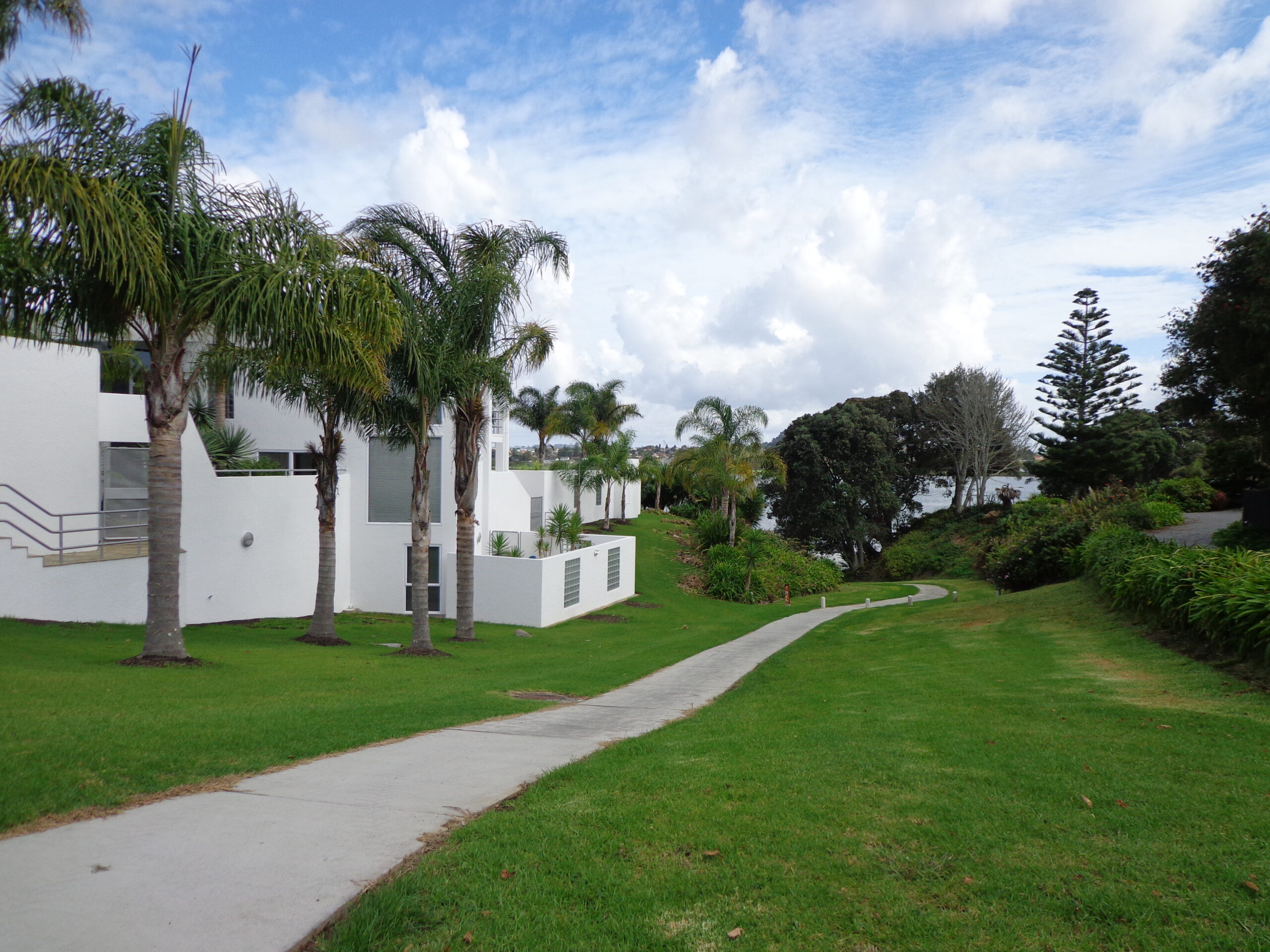
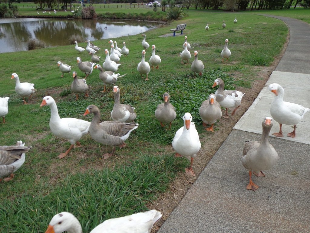
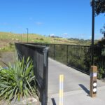
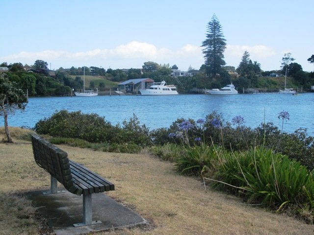
The Auckland Council is currently putting resources into cycleways. As a result, we are getting more places to cycle off-road safely. As we walk about we will highlight these resources.
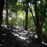
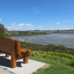
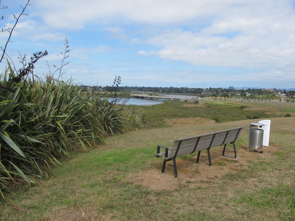
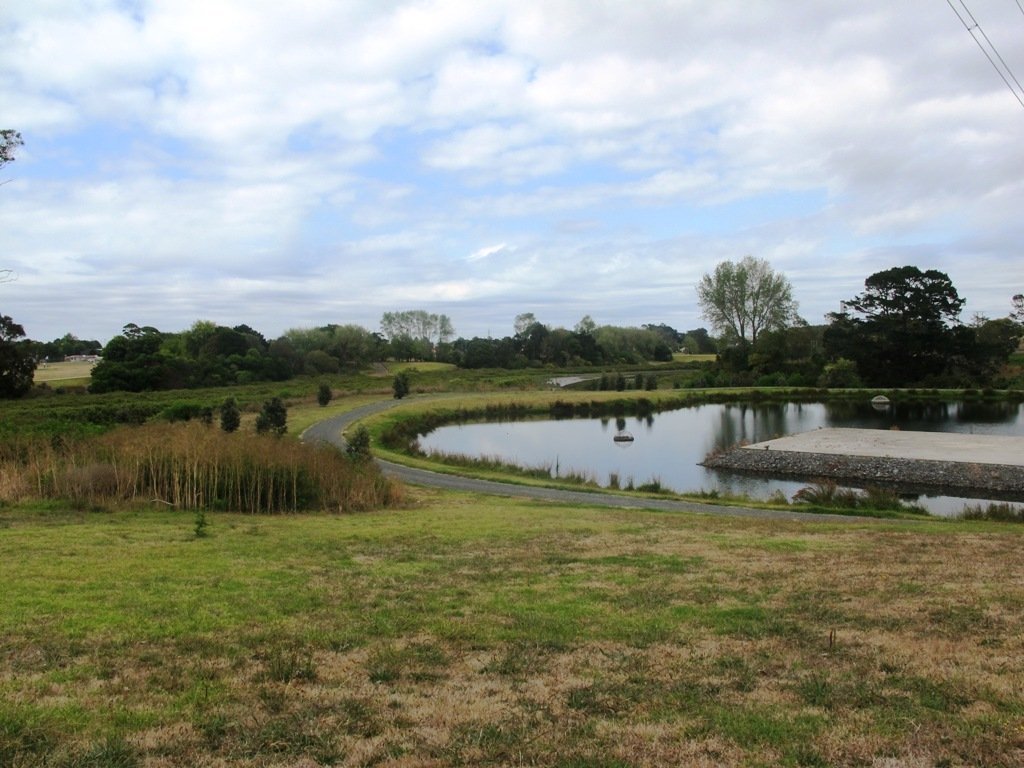
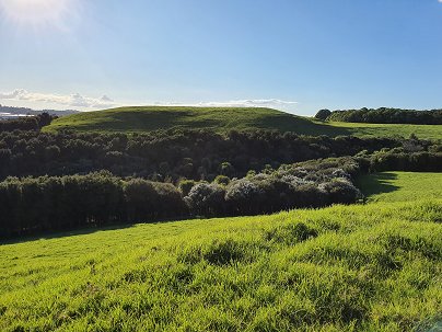
Hamlins Hill (Mutukaroa) Regional Park is a gem in the midst of Auckland City with a rich history and plenty of open space for you to unwind and enjoy. You can enjoy 360 degree views of Auckland city and explore the bush where you almost forget you are in the middle of New Zealand’s largest city. At times you are only 20m from the main Eastern Arterial route, but you feel one hundred miles away!
Amazing Hamlins Hill – serenity in the heart of Auckland
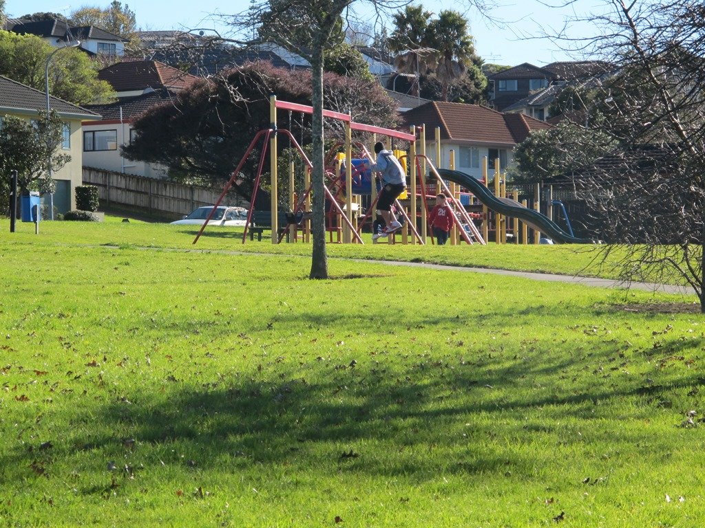
The Unsworth Heights to Rosedale Park walkway is a spectacular ‘there & back’ walk with many activities and options for variety to make it a loop. Enjoy native bush, streams, playgrounds, fields and even frisbee golf! The core tracks are paved and wide with some more adventurous options of natural bush tracks if desired. It really is a walk (or bike) for the whole family.
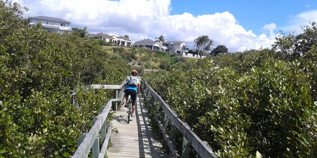
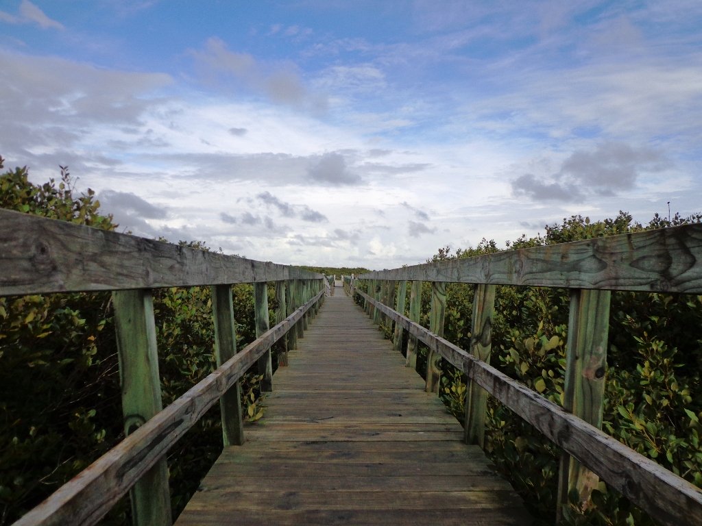
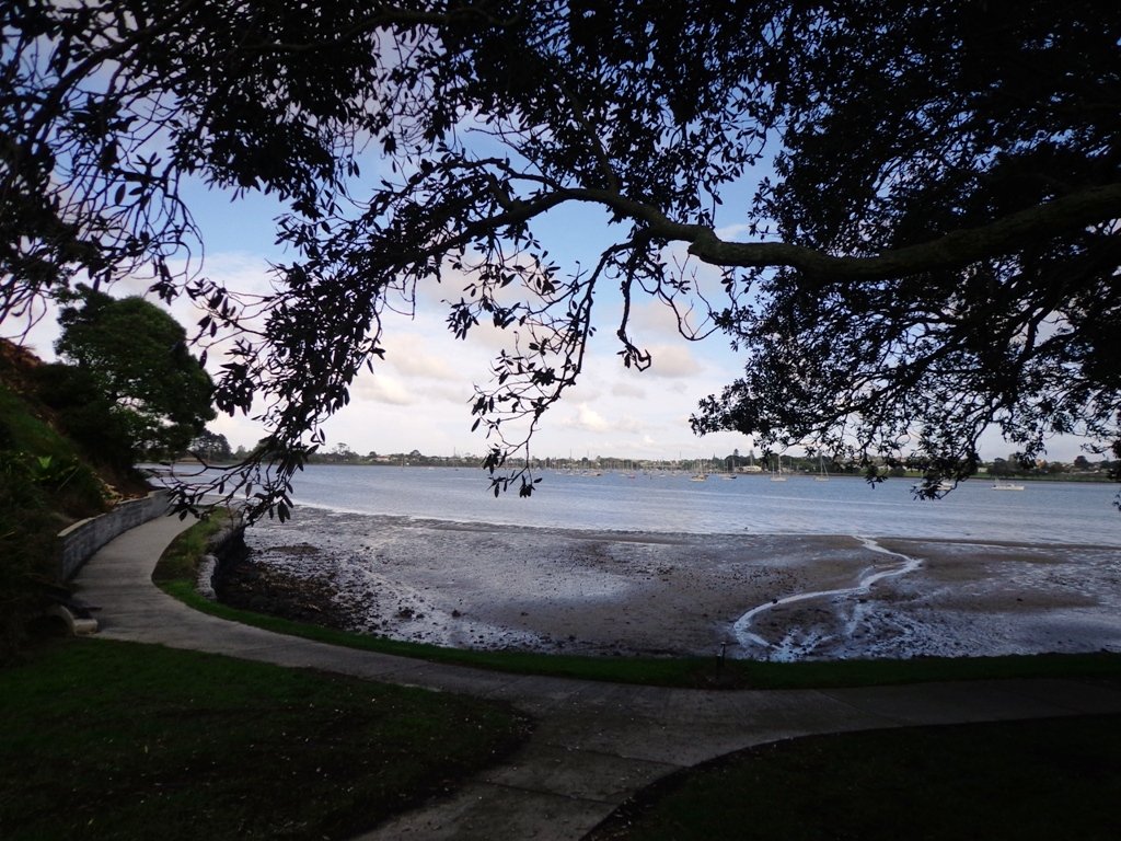
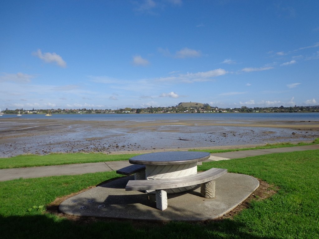
The Hobsonville Point Walkway circumnavigates a newly developed area of Auckland. Much of the walkway follows the foreshore and offers pictureque harbour views . This is a walk of variety – parks, developments, wharf and historic homes.
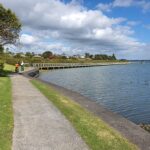
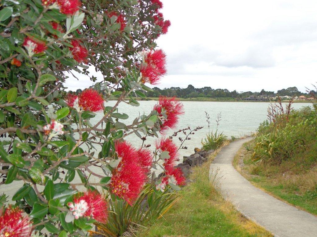
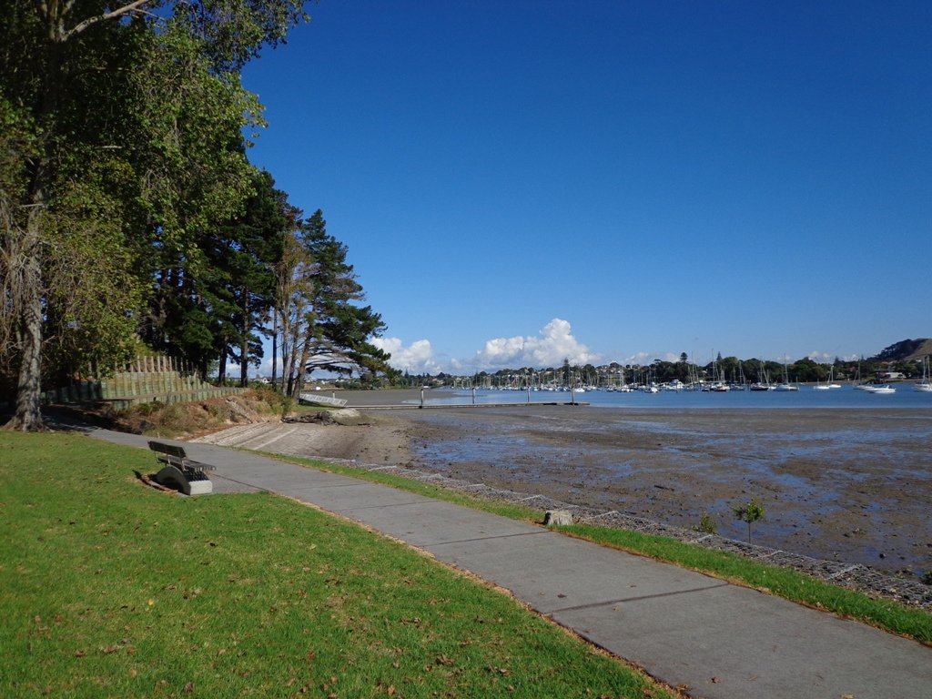
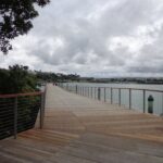
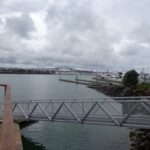
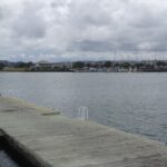
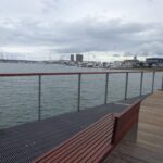
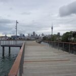
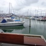
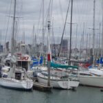
Without any obvious fanfare, the Westhaven Promenade unofficially opened yesterday (30th January 2015) for walking and cycling. And it is magnificent. Wide and spacious with wonderful views of our City of Sails. It really brings us close to the waterfront and we hope that many people will enjoy this facility. (Officially opened on the 16th February 2015).
Taking in the view along Westhaven Promenade.
We have two walks that include the Westhaven Promenade: Point Erin and Auckland Harbour and Westhaven Loop Walk. The Promenade currently links The Sitting Duck Cafe and Beaumont Street (opposite Victoria Park).
The next stage is an interim cycle path to link North Wharf to this new boardwalk, as announced by Auckland Transport. This will form part of a 20km continuous walkway and cycleway that runs from Herne Bay in the west to Tamaki Drive in the east.
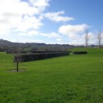
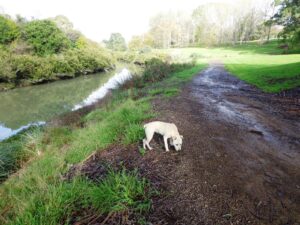
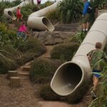
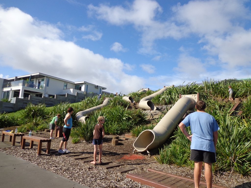
Sir Barry Curtis Park in Flatbush was opened in 2009 after previously being used for farmland (and some of the farm’s old stone walls remain). Today was our first visit. The walkways are extensive but many of them come to a sudden dead-end. Random hills with no paths. And extremely muddy after rain (today we got mud splashed to above our knees!). As it is a new park, there is a lack of mature trees.
It appears that a great deal has been spent on structures and walkways in this park, and apart from the children’s playground and skateboard park, there is nothing to attract walkers. We would have liked to have seen gardens and a cafe for starters. And an off leash dog exercise area. However it looks as though it is a fun place for children to ride bikes and scooters. The walking route is also great for prams/buggies.
Barry Curtis Park is still a “work in progress” and we hope that it will be improved upon. MAP
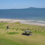
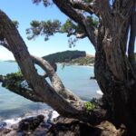
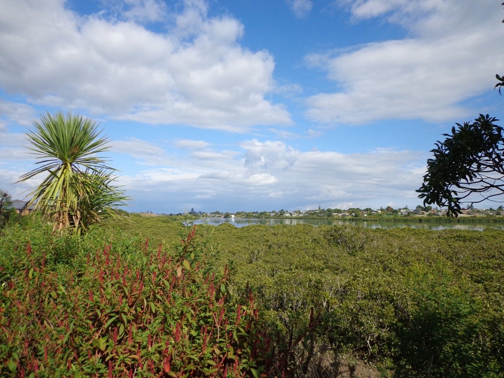
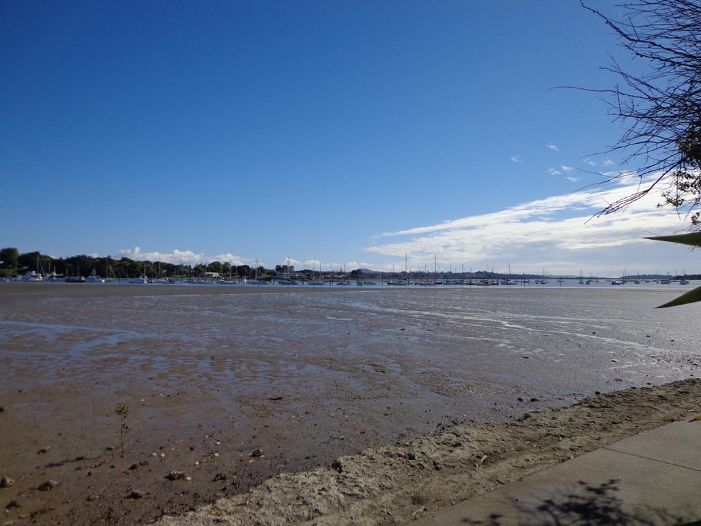
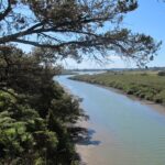
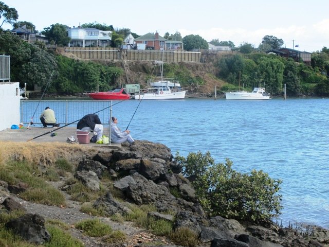
Today was our first walk around the 3 km perimeter of Omana Regional Park near Maraetai (pronounced my-right-eye). The walk itself was pretty uninteresting apart from the view looking back to Auckland City. However, the walk along the coastline from Omana Beach to Maraetai Beach was much more interesting.
The weather was brilliant and it was fabulous to see so many people out enjoying themselves in and on the beautiful blue clear water, as well as picnicking on the grassy shore in the shade of the pohutukawa trees. The tide was high (actually a “king” tide) which added to the beauty.
The shared pathway/cycleway between Maraetai and Beachlands is very scenic, and suitable for family cycle rides.
Description: Mostly level paths, with a few short steep bits. Gravel and sealed track/paths. Sturdy footwear recommended for Omana loop.
Suitable for most ages and levels of fitness and mobility, designed with flat shoes or running shoes in mind.
To see: Farmland, bush, coast, boats.
Time: We did the Omana perimeter loop (3kms) and walked to Maraetai return (5kms).
Start: Either from Maraetai or Omana Beach Road. Map
The combined walks of Maraetai and Omana lived up to our expectations of a diverse walk – farmland, bush, coast, boats and village.
Click on photo to enlarge.
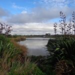
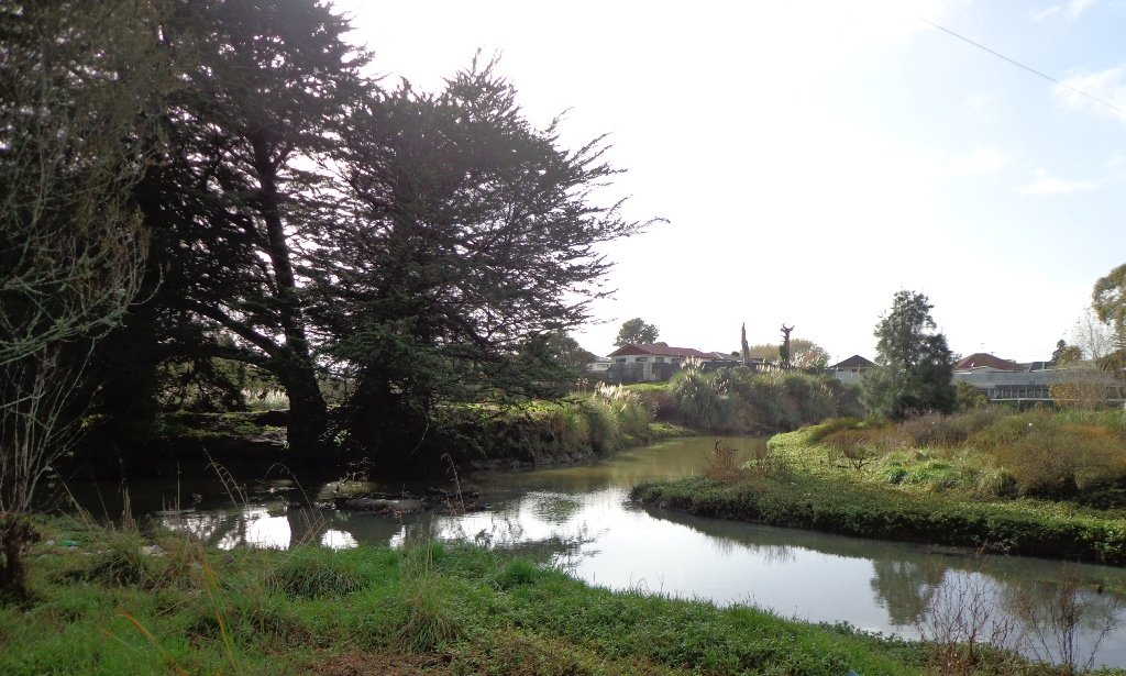
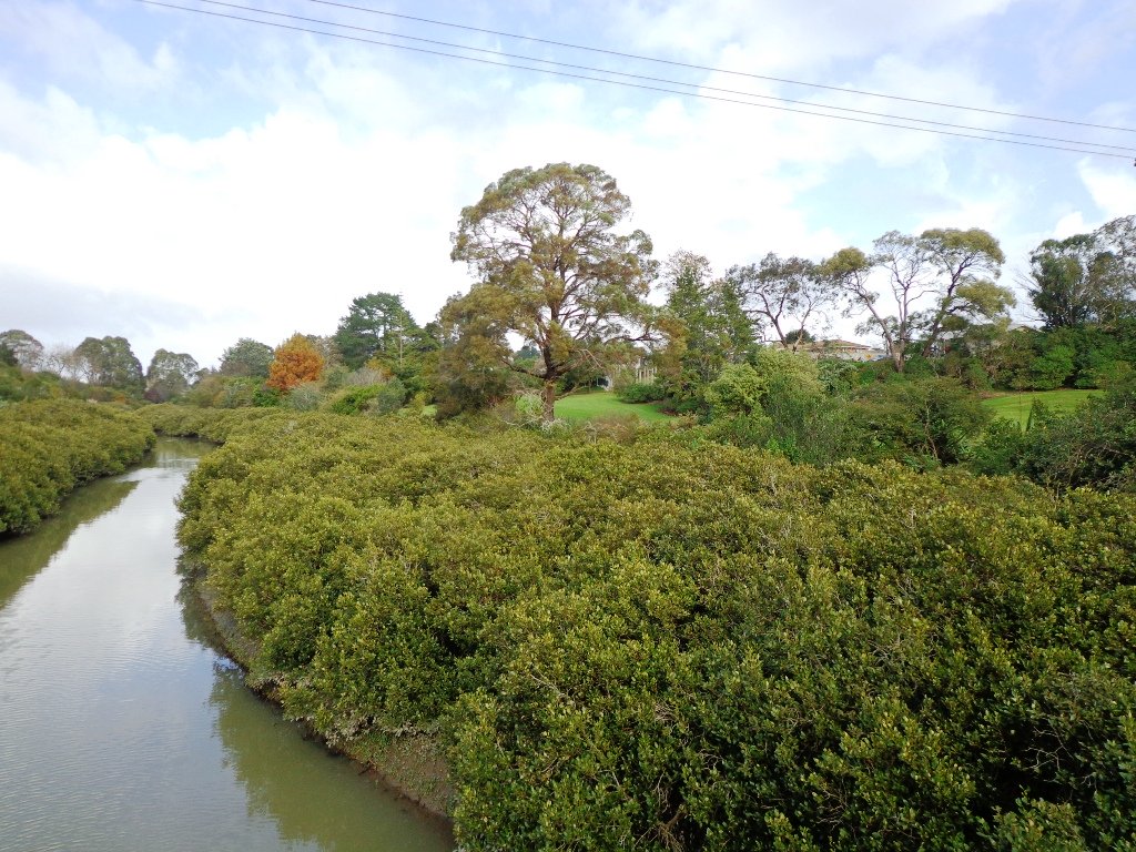
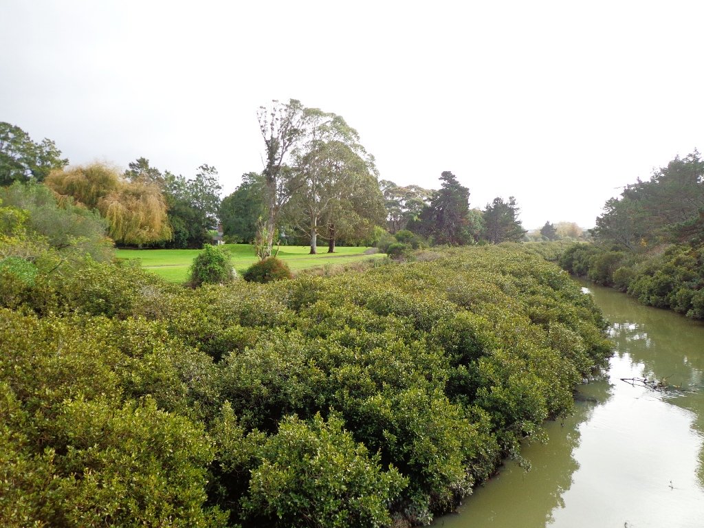
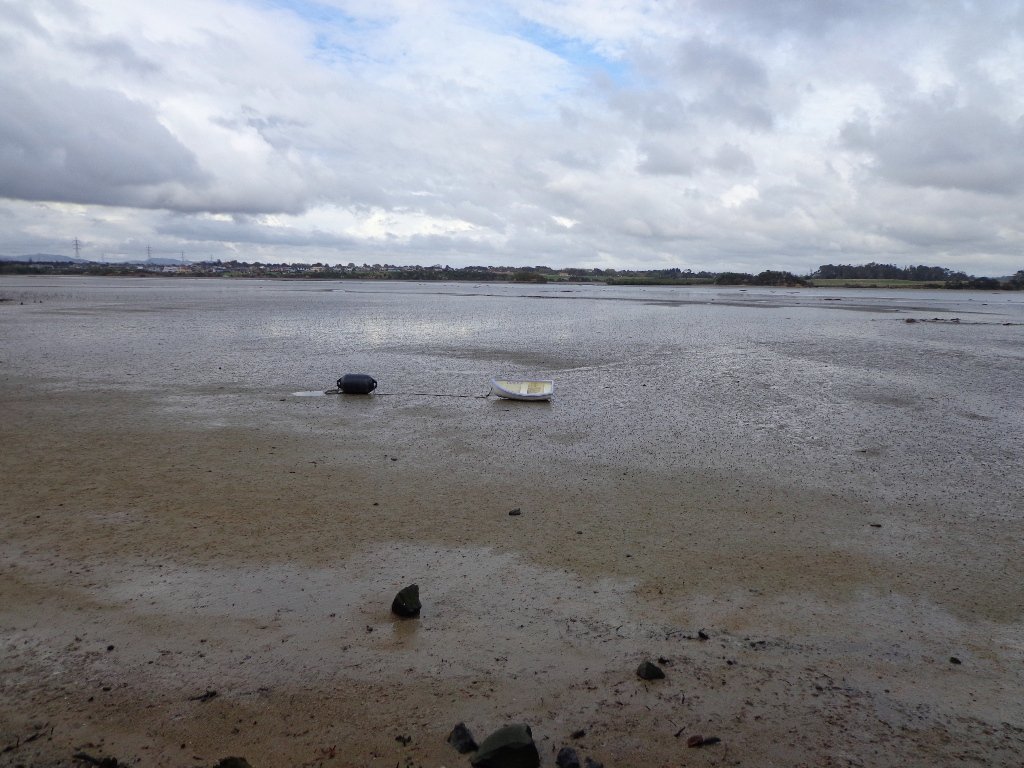
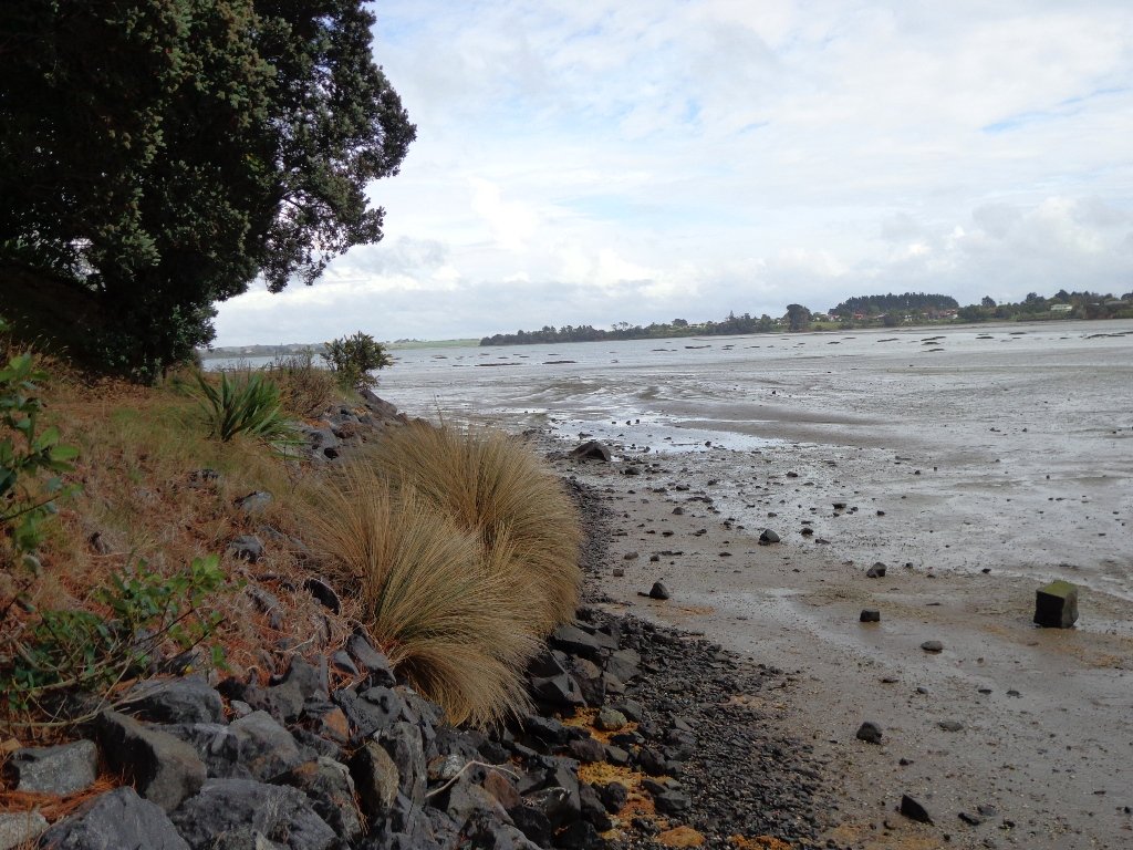
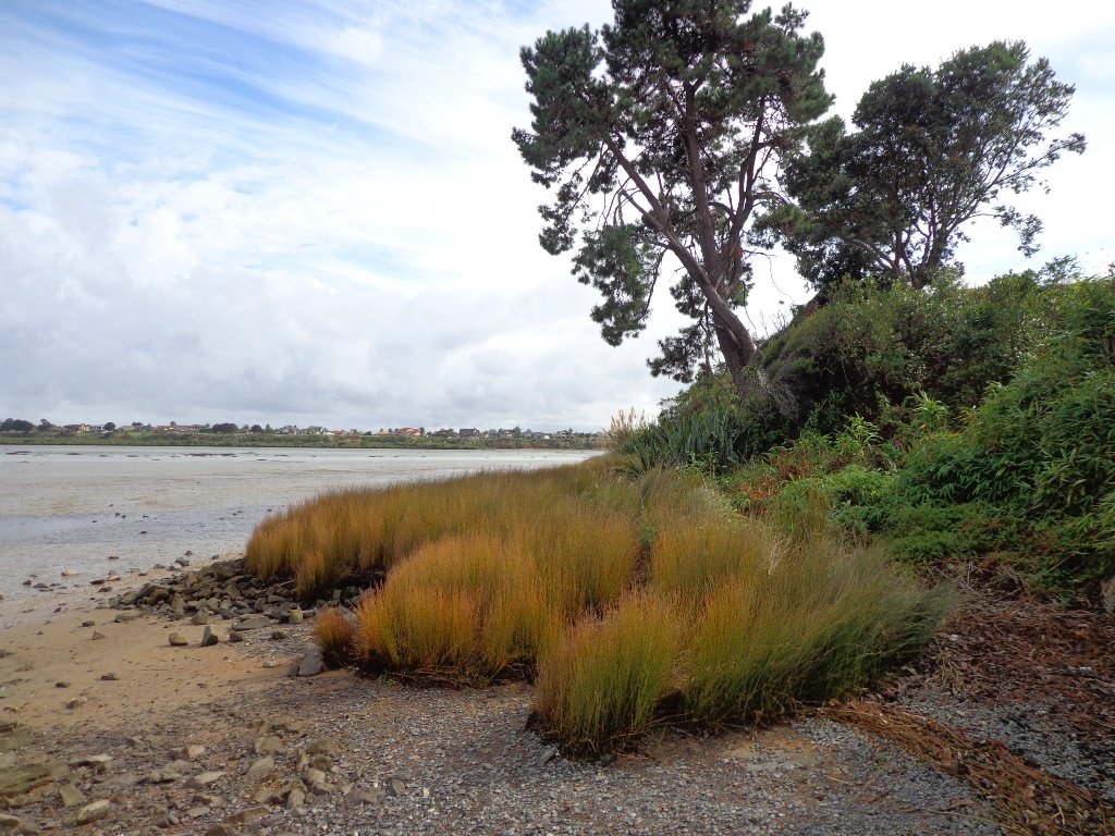
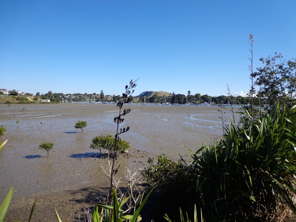
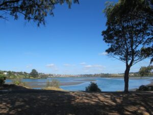
The Otara Creek Walkway in South Auckland, passes through some 220 hectares of waterway/tidal mudflats and forms a green corridor within Otara township.
This huge reserve was almost empty today; we saw two cyclists and one stray dog.
This walkway is ideal for family cycling and for taking your dog for an off-leash walk. (Dogs are welcome along the walkway provided they are kept under control and do not disturb wildlife or other park users. Dogs are not permitted on sport fields or near children’s playgrounds.)
The creek has mangrove mud flats and is sadly polluted – the locals seems to take delight in dropping shopping trolleys into the creek. However, if you can overlook the neglect, you may find enjoyment in the bigger view: the sounds of the birds and the trees and the native plants within the Otara Creek Reserve.
When I got home the thought came to me what it was that was missing here. Other walks along waterways in Auckland like Wattle Downs and Conifer Grove have homes facing the waterway, but here alongside Otara Creek, there are only fenced off back yards. Would people feel a sense of ownership, if another row of houses inside the reserve faced the creek?
Description: Mainly level paths. Suitable for users of average fitness and mobility. Dog friendly. To see: Otara Creek and estuary, mangrove mud flats Time: approx. 75 minutes. (about 5.75 kms) Start from: Fair Mall, Bairds Road, East Tamaki MAP
Stay on track…get your detailed guide and map (AS-073 Otara Creek Walkway) over at our Walks Store and our Book Store (one of 12 walks featured in our books “Dog Friendly Walks part 3” and “Best of the South”).
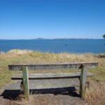
The walk along Conifer Grove Esplanade offers views across Manukau Harbour north to Wattle Downs and south to Karaka.
We met friendly chatty people along the shared walkway/cyclway, many with dogs and children in tow (there is a good selection of children’s playgrounds in the reserves).
More information: My Auckland: Conifer Grove The boardwalk through the mangroves provides a mini adventure for young children (but do keep an eye on them – one child’s scooter took a flying leap into the mud when we were there; luckily the tide was out!). Suitable for family cycling – Brylee Drive Reserve, Takinini, 6km of shared paths.
Description: Mainly level paths, some steps. Suitable for users of average fitness and mobility. To see: Manukau Harbour views, mangroves, residential homes and gardens Time: approx. 60 minutes. (about 4.55 kms) Start: Walter Strevens Drive, Conifer Grove MAP
Stay on track…get your detailed guide and map (AS-069 Conifer Grove Circuit) over at our Walks Store and our Book Store (one of 12 walks featured in our books “Coastal part 2” and “Best of the South”).
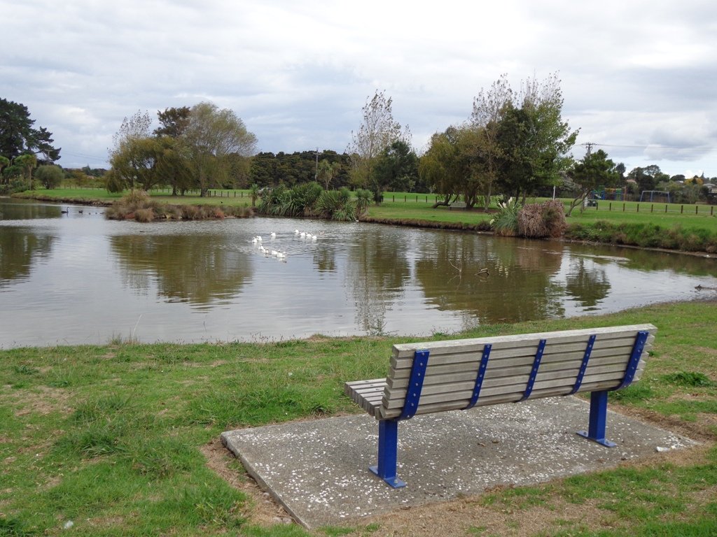
We have now added a fourth loop walk taking in the wonderful Pakuranga Rotary walkway. This 5kms loop walk follows the Tamaki Estuary through Farm Cove and explores the Sunny Hills suburban streets, with views of Mount Wellington and One Tree Hill.
You may wish to cycle the whole 5 kms of the Pakuranga Rotary walkway, or just stop and watch the tide on one of the many seats along the walkway. Families may like to take a fun break on the snakes and ladders playground near the Bramley Drive entrance.
The walking route is also great for prams/buggies and dog walkers (on leash only).
We stopped for coffee at the French inspired deli/cafe Mon Bichon, a delightful surprise in the Farm Cove village shops. You could buy your pastries from here to take and eat beside the walkway…(update: sadly it is no longer there).
Description: Mainly level paths (with one small incline). Suitable for users of average fitness and mobility. Suitable for cycling and push-chairs. To see: Tamaki Estuary, Mangroves, white volcanic pumice deposits, views of Mount Wellington and One Tree Hill, residential homes Time: approx. 60 minutes. (about 5 kms) Start: Fisher Parade, Farm Cove Village MAP
Stay on track…find this walk’s map and directions guide (AE-068 Pakuranga Farm Cove Loop) and other walk self-guides at our Walk Store and our Book Store (“Best of the East”)
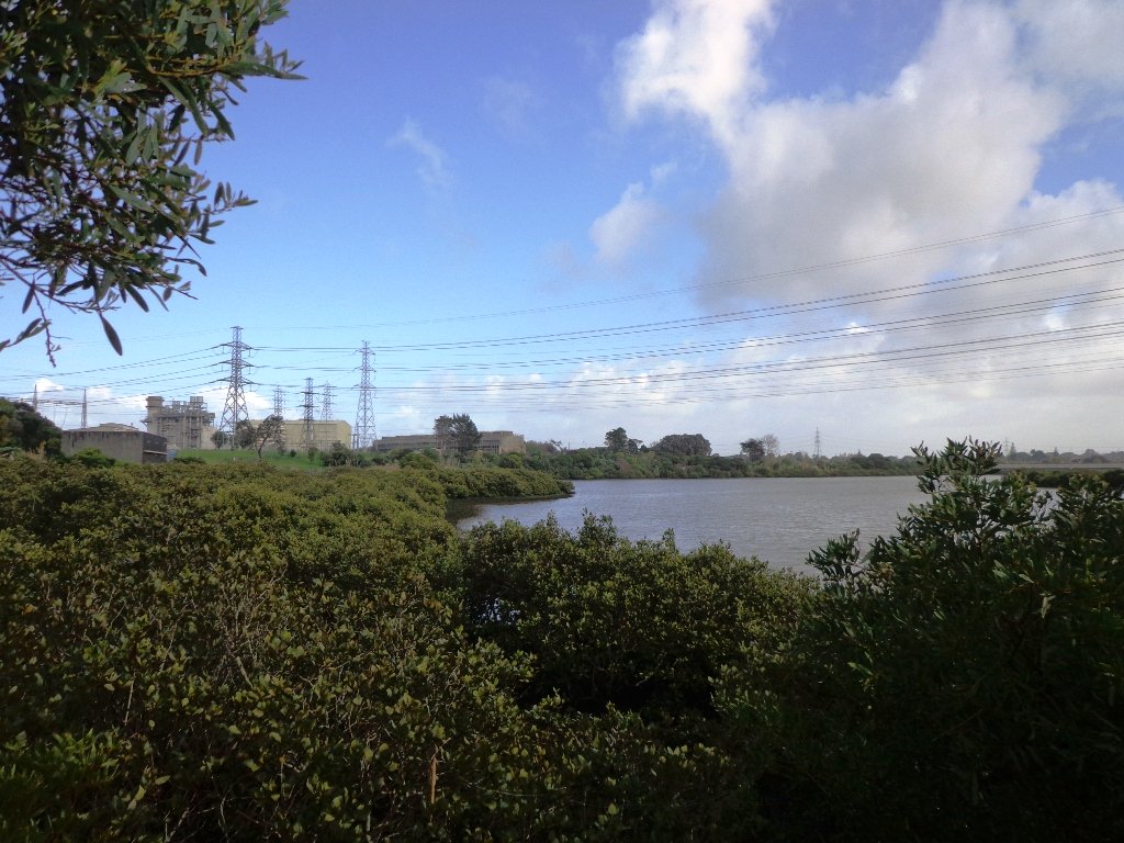
Wattle Downs in South Auckland was another new area for us to explore. The Wattle DownsWalkway goes around the edge of the peninsula that extends into Manukau Harbour, at one spot there are views through to Manukau Heads. The day was very calm – the water was like a mirror, and there were also threatening grey clouds hanging overhead. The walking route is also great for cyclists, prams/buggies and dog walkers (on leash and off leash dog exercise areas).
There are many points of interest along the way, and friendly people to say hello to. We stopped and spoke to a resident whose house looked out towards Manukau Heads – he told us that they get to view amazing sunsets over the harbour.
There are wetlands and ponds active with shore birds – if you are a keen bird watcher be sure to take your binoculars.
The only thing missing in the area is a cafe.
UPDATE March 2015 ** The shared walkway/cycleway has been extended from Hadley Wood Drive to Aberdeen Crescent.
Suitable for Family cycling: Frangipani Ave to Bluewater place, 10km each way.
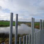
Description: Mainly level paths, one set of steps (which can be avoided). Suitable for users of average fitness and mobility. Suitable for cyclists. To see: Manukau Heads, Manukau Harbour, Wattle Farm Wetland Reserve, shore birds Time: approx. 100 minutes (about 8.7 kms). Dog off-leash areas. Childrens playgrounds. No cafe. Public Toilets may not be open due to vandalism issues (see image below). Start from: Wattle Farm Reserve MAP
Stay on track…get your detailed guide and map (AS-067 Wattle Downs Loop) over at our Walks Store and our Book Store (one of 12 walks featured in our books “Coastal part 1”, “Dog Friendly Walks part 1” and “Best of the South”).
Today we set out to explore another part of the Pakuranga Rotary Walkway, this time taking a loop behind Saint Kentigern College and through Manor Park.
This mainly flat 4km walk would suit workers at Pakuranga Plaza as well as residents. Views of Mount Wellington and water craft. Great for cyclists (cycle the full length of the walkway to Pigeon Mountain) and dog walkers (on leash – please refer to comments below), andfor prams/buggies .
The day was calm and the skies blue – perfect for a walk!
Description: Mainly level paths. Suitable for users of average fitness and mobility. To see: Views of Mount Wellington, water craft, residential homes Time: approx. 45 minutes. (about 4.0 kms) Start: Pakuranga Plaza MAP
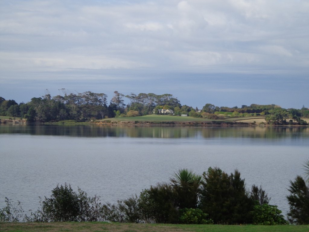
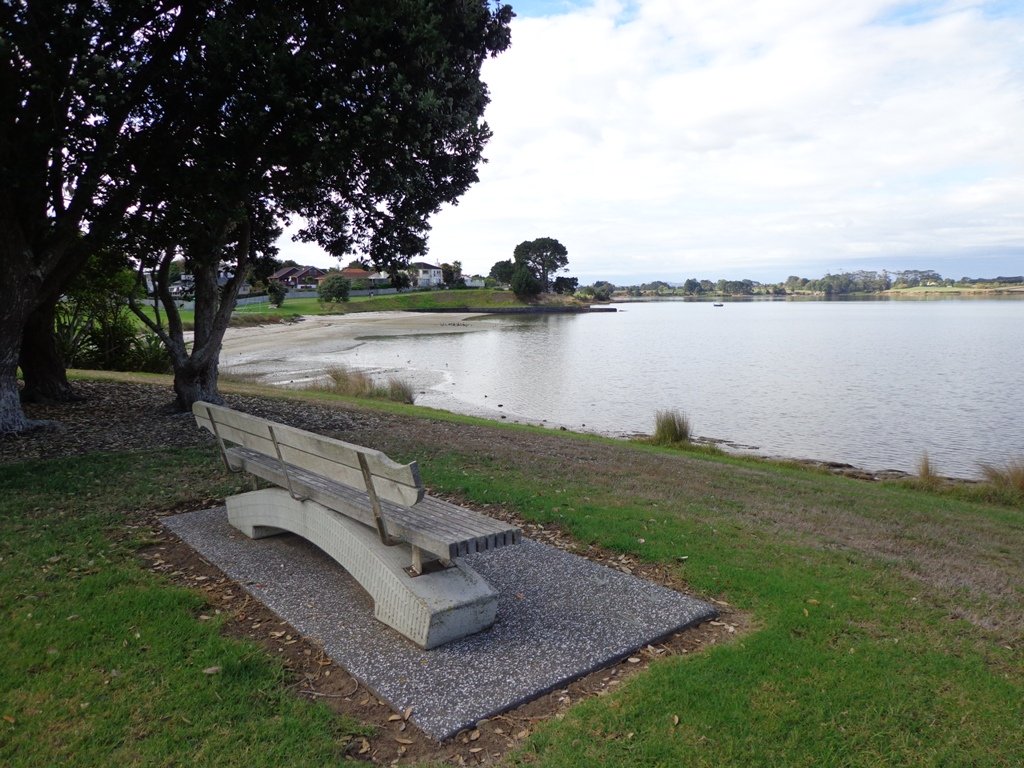
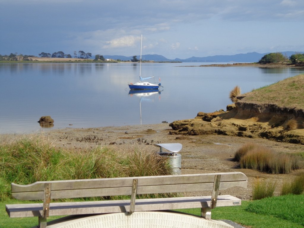
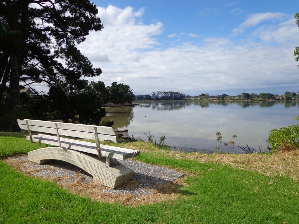
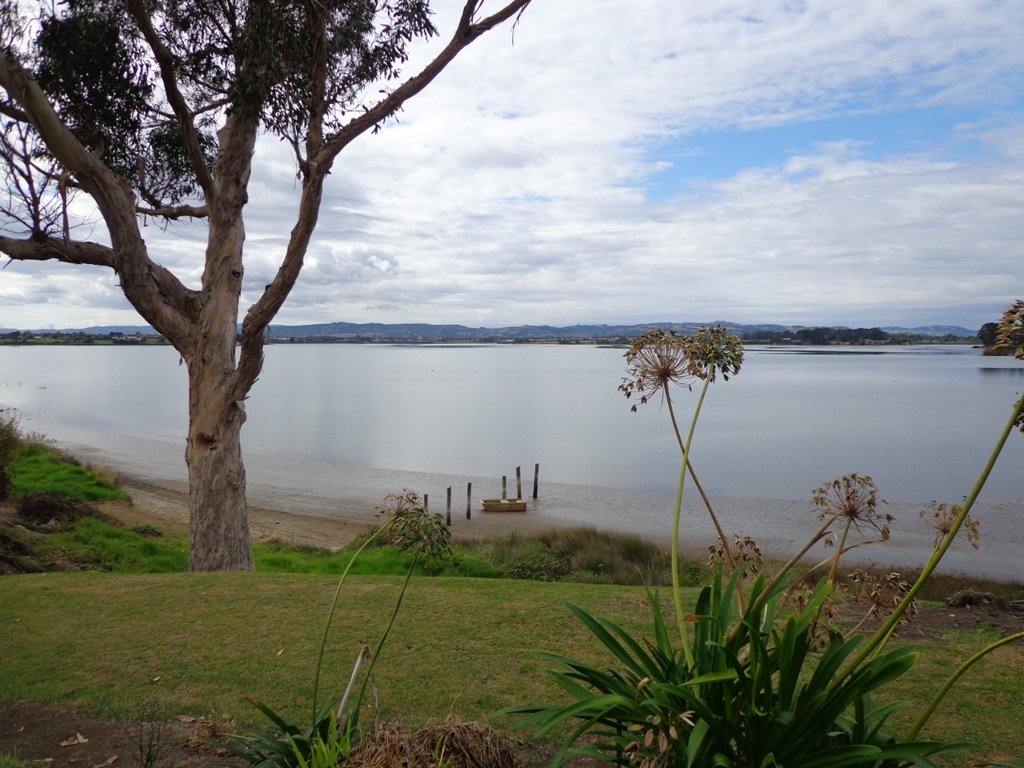
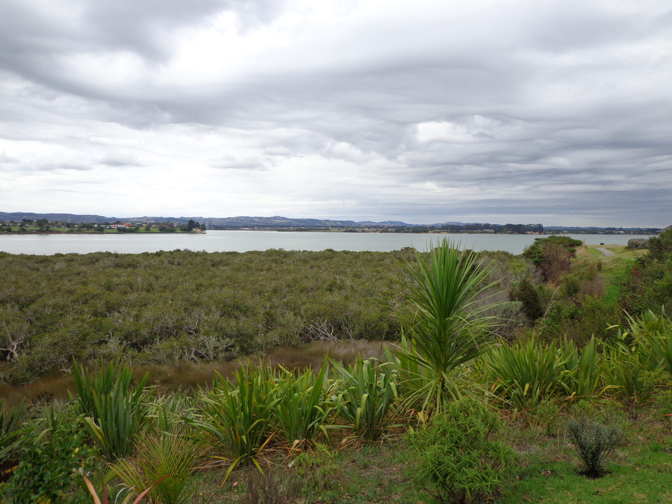
Today we headed north out of Auckland to Orewa to walk around the Te Ara Tahuna shared path. This cycleway/walkway encircles the Orewa Estuary for a distance of 7.58km. It took us 1 hour and 45 minutes to walk it at a leisurely pace.
The tide was going out as we walked around anti-clockwise. It is a diverse walk, starting from the car park by the Estuary Arts Centre. MAP
We walked past beautiful houses and gardens set along the path, crossed bridges, walked on the edge of farmland with picturesque bales of hay and past mangroves – arriving back to the view of the ocean along the Hibiscus Coast Highway.
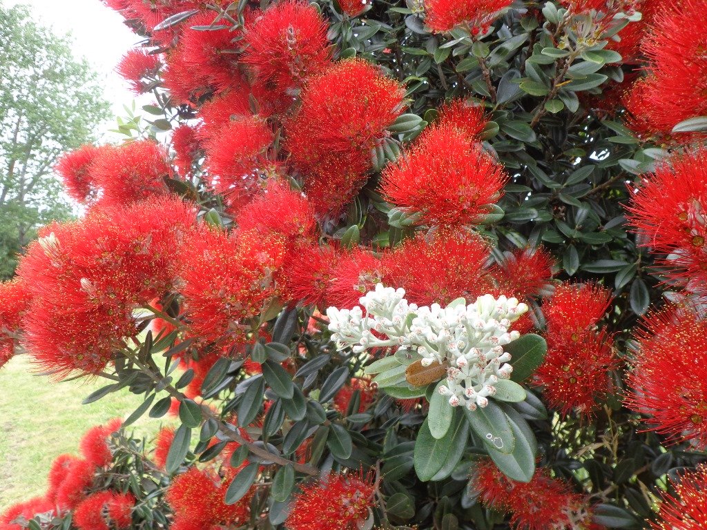
Look out for all the different wetland birdlife. You will also see kauri trees, pohutukawa trees, cabbage trees and flax. There are picnic tables available at the Orewa end, as well as a skate park. Benches provide views of the estuary and take the time to admire the beautifully carved wooden seats (six in total as of today’s date).
The cycleway is ideal for families with children who are competent cyclists. The pathway is a mix of concrete, bitumen and loose gravel. Be sure to have snacks and drinks with you to keep up the energy levels. And if the weather is appropriate, take beach gear for a refreshing swim afterwards.
There are now public toilets at MetroPark in Millwater (about halfway round) and a coffee lounge,dairy and other shops at the Millwater Parkway shops.
We stopped off at Olivers for a delicious lunch accompanied by a wonderful musician.
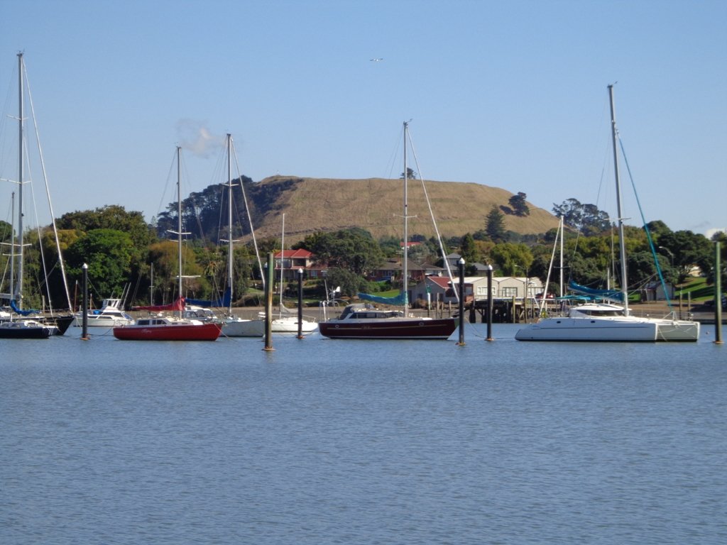
If you have been out to Highbrook Business Park in South Auckland, you may have noticed a walkway along the waters edge to the north. This has intrigued my friend and I for some time, so today we set out to explore and work out a way to include it an interesting circular walk.
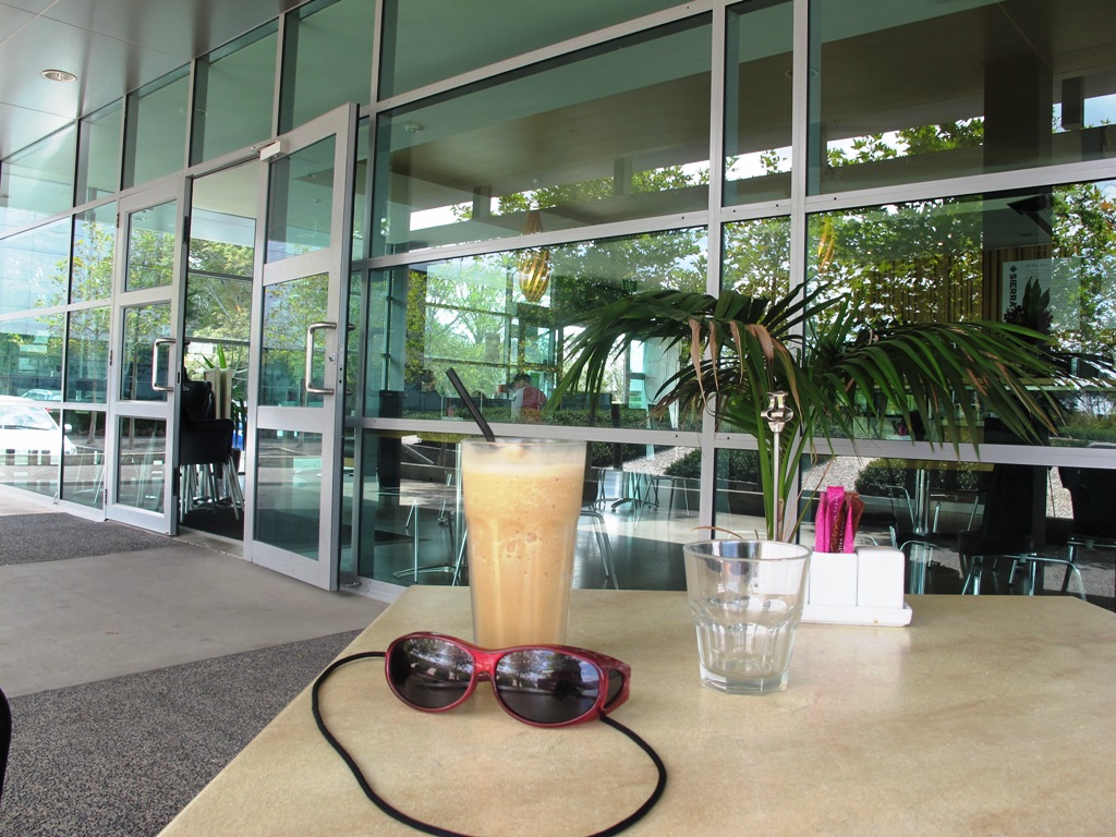
Mission accomplished and rewarded with a delicious iced coffee at Highbrook Park’s Sierra Cafe! **Update December 2014** There is now a further selection of cafes and eateries at The Crossing (we had coffee at The Light Horse).
According to “Volcanoes of Auckland, the Essential Guide” Highbrook was developed as a racehorse stud farm before it was converted to a business park. The explosion crater’s proper name is Pukewairiki which means “the hill with the associated small lagoon”. The crater floor is now salt marsh and mangrove forest.
The pathway along Highbrook Park is safe for family cycling. This walk does not include a playground and would be suited for older children. Look out for the pohutukawa blossoms early summer. There is an off-leash dog exercise area on the Otara Creek (south) side of this walk.
Description: A mix of level and slightly hilly paths. Suitable for users of average fitness and mobility. Suitable for mountain bikes. To see: Pukekiwiriki Crater, wetlands, views of Tamaki Estuary, Otara Creek, Pakuranga Creek, Mount Wellington and other volcanoes, Highbrook Model Airpark. Time: approx. 75 minutes. (about 5.8 kms) Start: Business Parade North, Highbrook MAP
Stay on track…get your detailed guide and map (AS-063 Highbrook Park Loop) over at our Walks Store and our Book Store (one of 12 walks featured in our books “Dog Friendly Walks part 1” and “Best of the South”).
Part of our Pakuranga Loop Walk is along the Pakuranga Rotary Walkway which currently extends to Pigeon Mountain, along the Tamaki Estuary and Whakaaranga Creek.
It is a safe cycling, jogging and walking route. The walkway is paved and relatively flat, making it suitable for wheelchairs, pushchairs and a range of fitness levels. The walkway along the estuary is safe for family cycling.
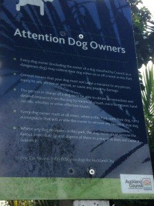
The walking route is also great for prams/buggies and dog walkers (on leash). There is an off leash dog exercise area – along the Pakuranga Rotary Walkway between the Panmure Bridge and Waakaranga Reserve which permits dogs off-leash under the owners control. This is a huge off leash walk but most people do not know about. This sign can be found at the entrance to the walkway at Kerswill Place. See Auckland Council dog rules.
These flat river plains were used to grow oats, hay and wheat up until the 1950’s. Pakuranga was then known as “the granary of Auckland”.
This walk section looks into the mouth of the Panmure Lagoon from the opposite bank.
Description: A mix of level paths and slightly inclined paths. Suitable for users of average fitness and mobility. To see: Estuary views, boats, wetlands, residential housing, Mt Wellington, Pakuranga Mall Time: approx. 40 minutes. (about 3.75 kms) Start: Pakuranga Mall Map
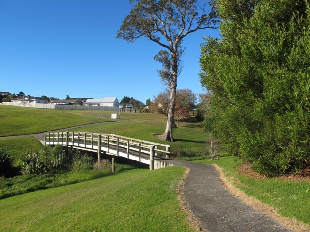
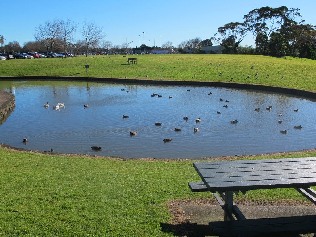
The Cascade Walkway (7.5km of shared paths between Meadowland Drive and Lloyd Elsmore Park, Pakuranga) is another area that has been on our list to explore. We set out from Howick Historical Village hoping to find well sign-posted walking paths. The best we found was a post with two arrows on it! (New signage has been installed since our first visit).
The paths are great for cycling and walking (with your dog and/or your children). There is diverse birdlife and native plants and trees. We were surprised by the lack of picnic/BBQ facilities, public toilets and children’s playgrounds within the Cascade Reserve. However, we did come across 3 children’s playgrounds in total, making this a short family friendly walk.
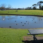
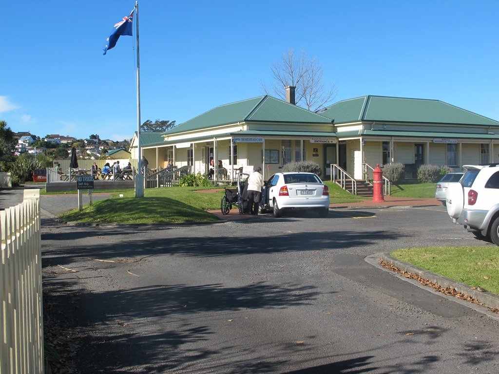
Near the Historical Village is an area to play with marbles, and another area for kids to ride their bicycles on a specially made track. There is a duck pond and some bench seats along the walkway nearby. We had lunch and coffee at the Homestead Cafe (the homemade bacon and egg quiche was very tasty).
You can find the Auckland Council’s information on the Cascade Walkway here.
Suitable for family cycling:Between Meadlowland Drive and Lloyd Elsmore Park, Pakuranga, 7.5km.
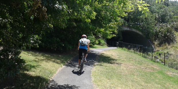
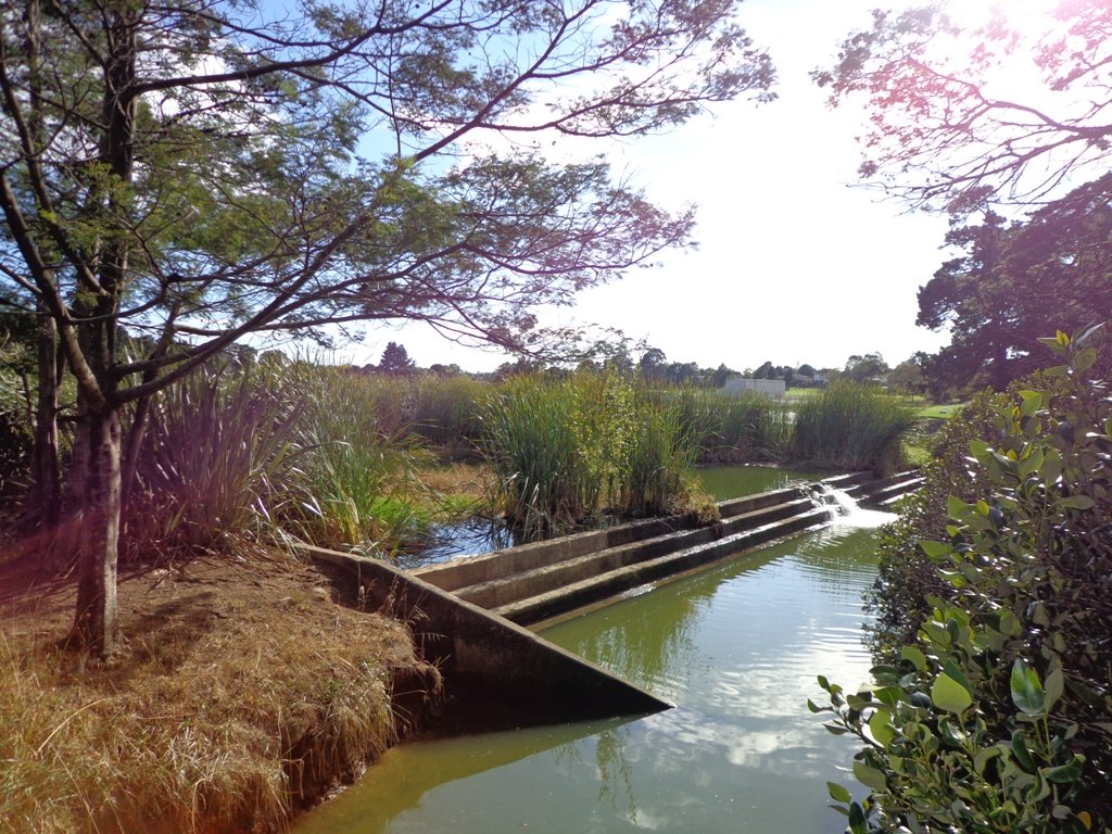
Description: Mainly level paths and a few slightly inclined paths. Suitable for users of average fitness and mobility. Mostly concrete paths with a small stretch of dirt track under trees. Buggy/pram friendly. To see: Creeks, birdlife, small waterfall, bridges, tunnel. View of Rangitoto Island, Pigeon Mountain, Mt Wellington, Waitakere Ranges and One Tree Hill Time: approx. 75 minutes. (about 6 kms) Start: Bells Road off Cascades Road/Pakuranga Road MAP
Stay on track…get your detailed guide and map of the AE-040 Cascade Walkway Loop at our Walks Store and our Book Store (“Dog Friendly part 3” and “Best of the East”).
Watch this video to get a taste of Cascades Walkway:
Self guided short circular walks in Auckland for health, fitness and fun

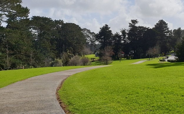


 Sir Barry Curtis Park in Flatbush was opened in 2009 after previously being used for farmland (and some of the farm’s old stone walls remain). Today was our first visit. The walkways are extensive but many of them come to a sudden dead-end. Random hills with no paths. And extremely muddy after rain (today we got mud splashed to above our knees!). As it is a new park, there is a lack of mature trees.