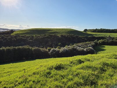
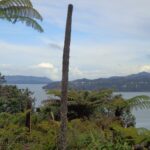
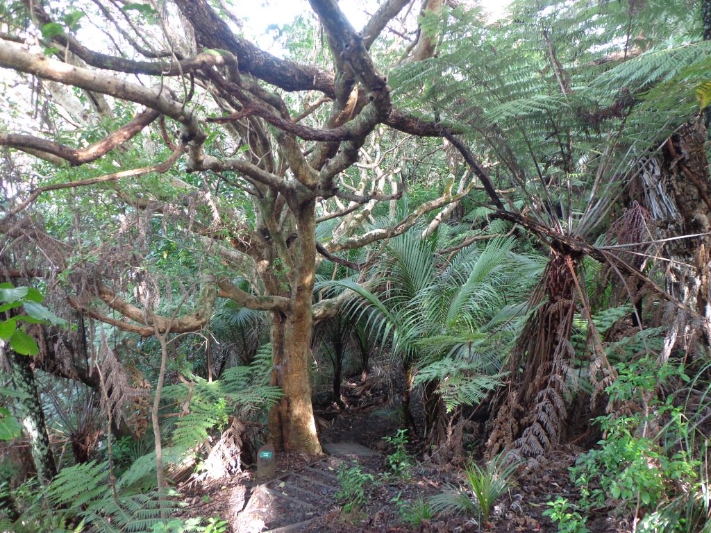
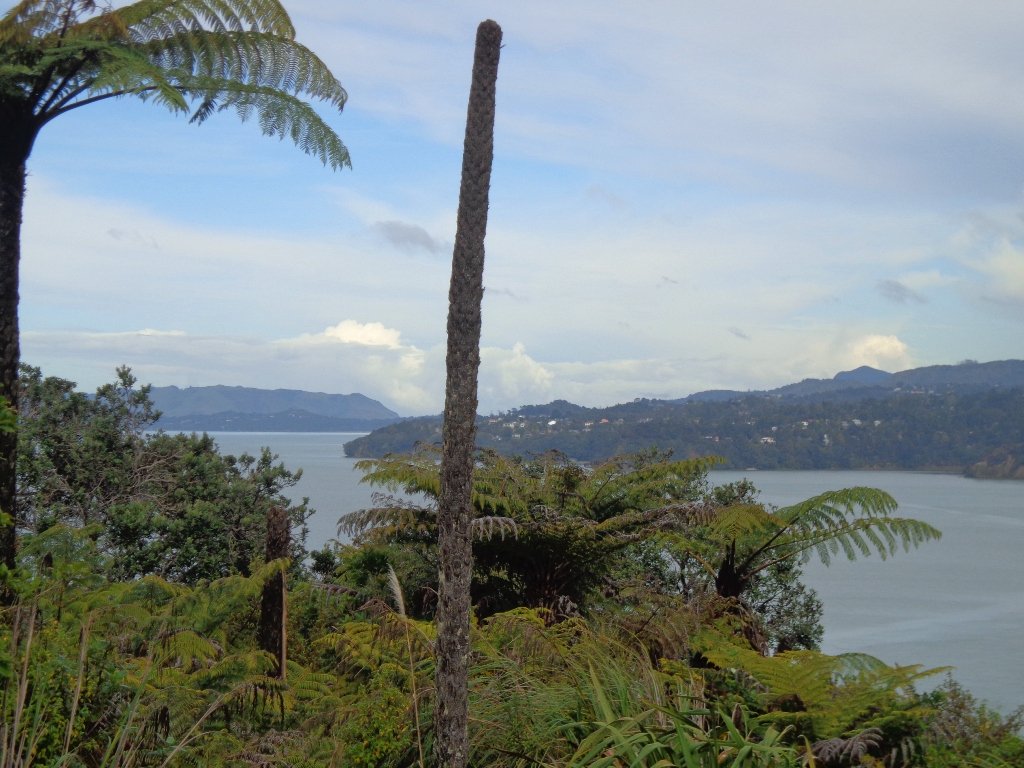
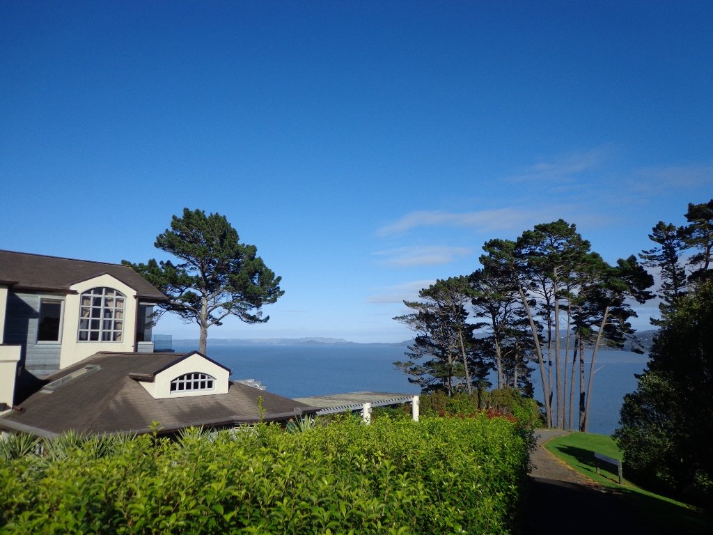
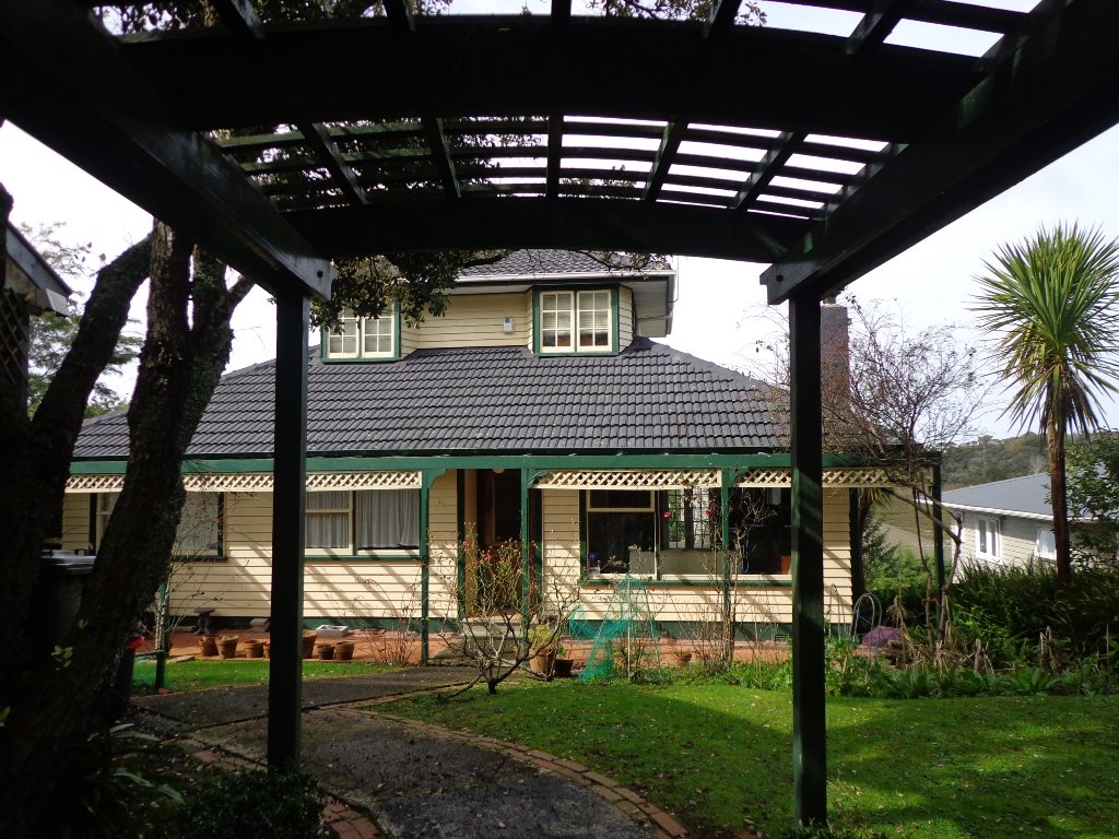
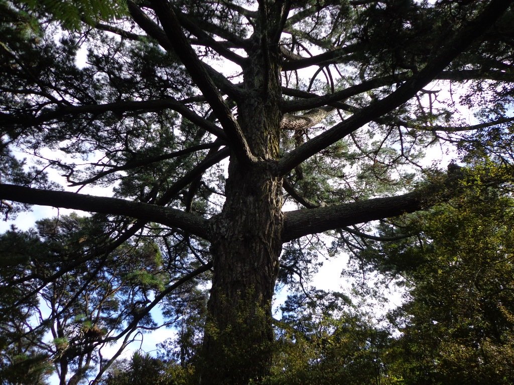
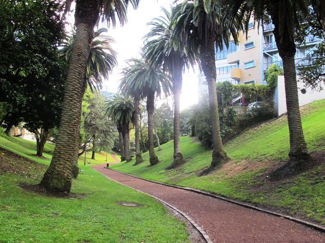
The walk to the Clevedon Reserve lookout, known as the Stairway to Heaven, was suggested to us by some of my wife’s work colleagues and what a great surprise. Large kauri, Kahikatea, Puriri and Puka trees grace the slopes and make for an impressive bush canopy. Plenty of birdlife is enjoyed, as is the view across the Auckland City in the distance and the Hunua Ranges to the East. Adding to the value of this amazing walk is exploring the quaint Clevedon Village.
Continue reading Clevedon Reserve – Stairway to HeavenTag Archives: dog friendly
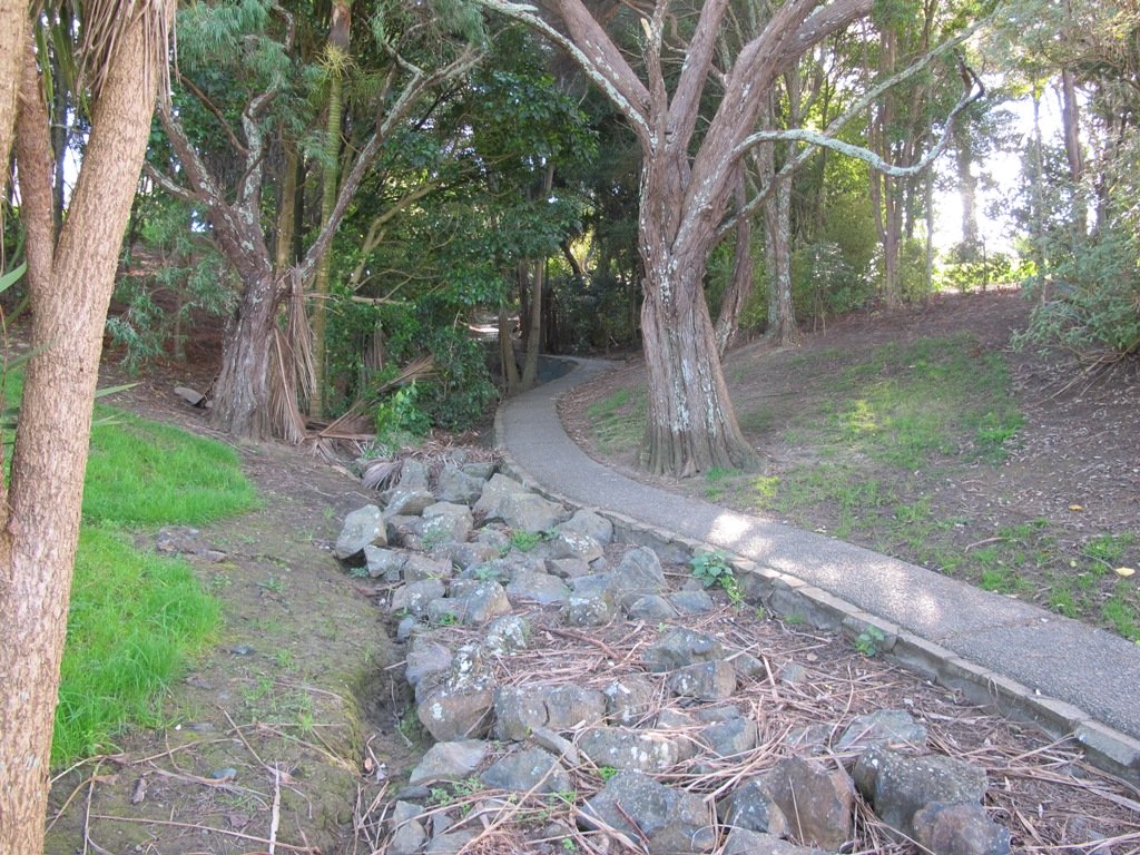
Hamlins Hill – historic gem
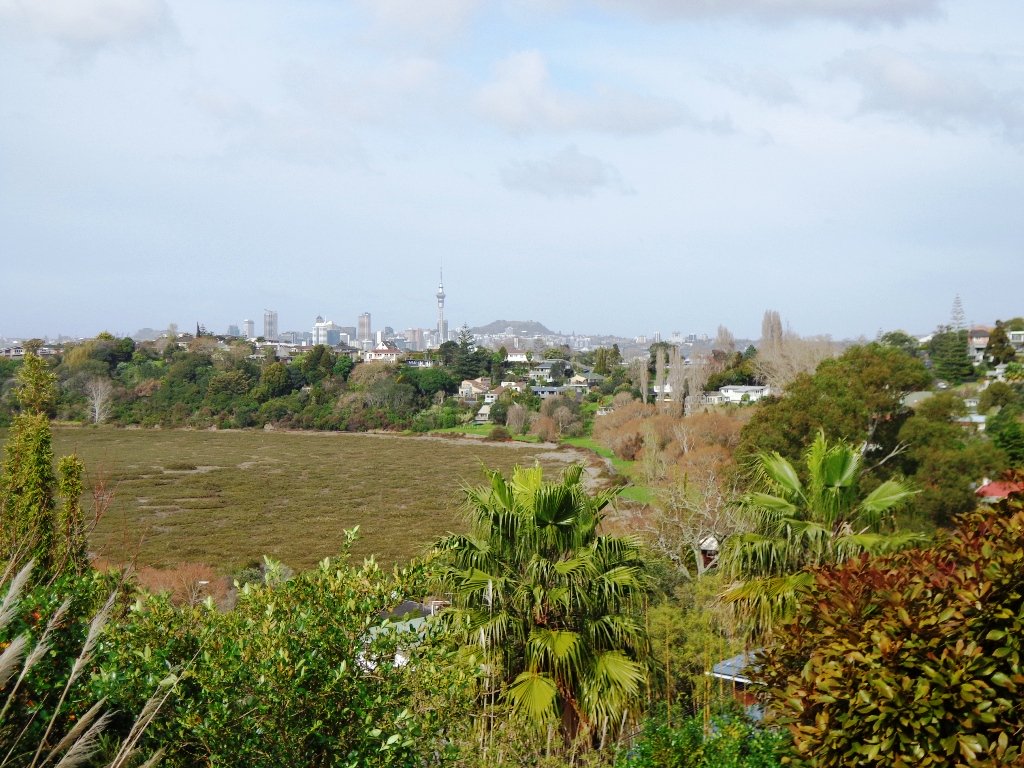
Hamlins Hill (Mutukaroa) Regional Park is a gem in the midst of Auckland City with a rich history and plenty of open space for you to unwind and enjoy. You can enjoy 360 degree views of Auckland city and explore the bush where you almost forget you are in the middle of New Zealand’s largest city. At times you are only 20m from the main Eastern Arterial route, but you feel one hundred miles away!
Parnell Rose Gardens Loop With Views And Beautiful Scents
Beautiful gardens, huge Pohutukawa trees, history, sculptures, monuments, swimming and wonderful Harbour views ensure the Parnell Rose Gardens Loop is a walk for all to enjoy. Add to this the onsite Redwall Chinese Restaurant and famous Rosie Cafe and you have the perfect experience.
Continue reading Parnell Rose Gardens Loop With Views And Beautiful Scents
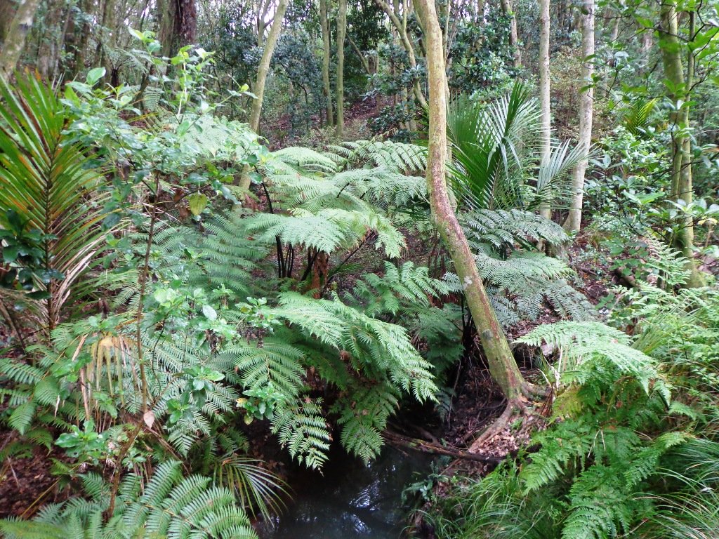
Oratia Stream Loop

At last! Beautiful blue skies and sunshine. A perfect Fathers Day. And of course, a perfect day for a walk. We decided to check out the Oratia Twin Streams walk and cycleway to see if we could include it as part of a fun circular walk. We did it!
Continue reading Oratia Stream LoopHenderson Creek Loop
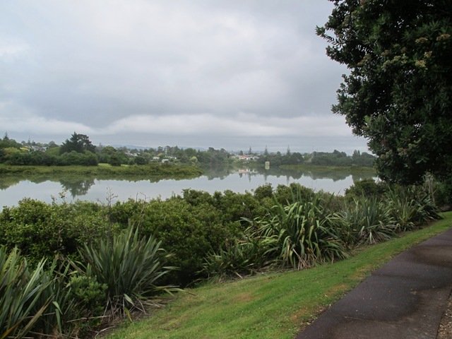
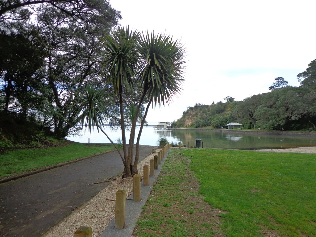
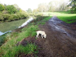
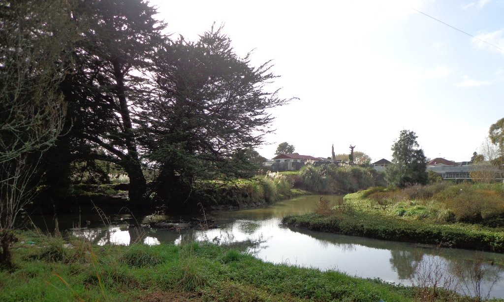
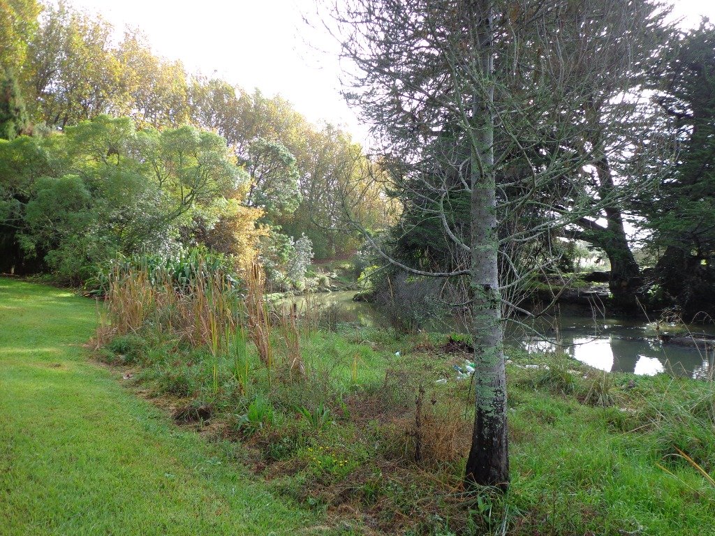
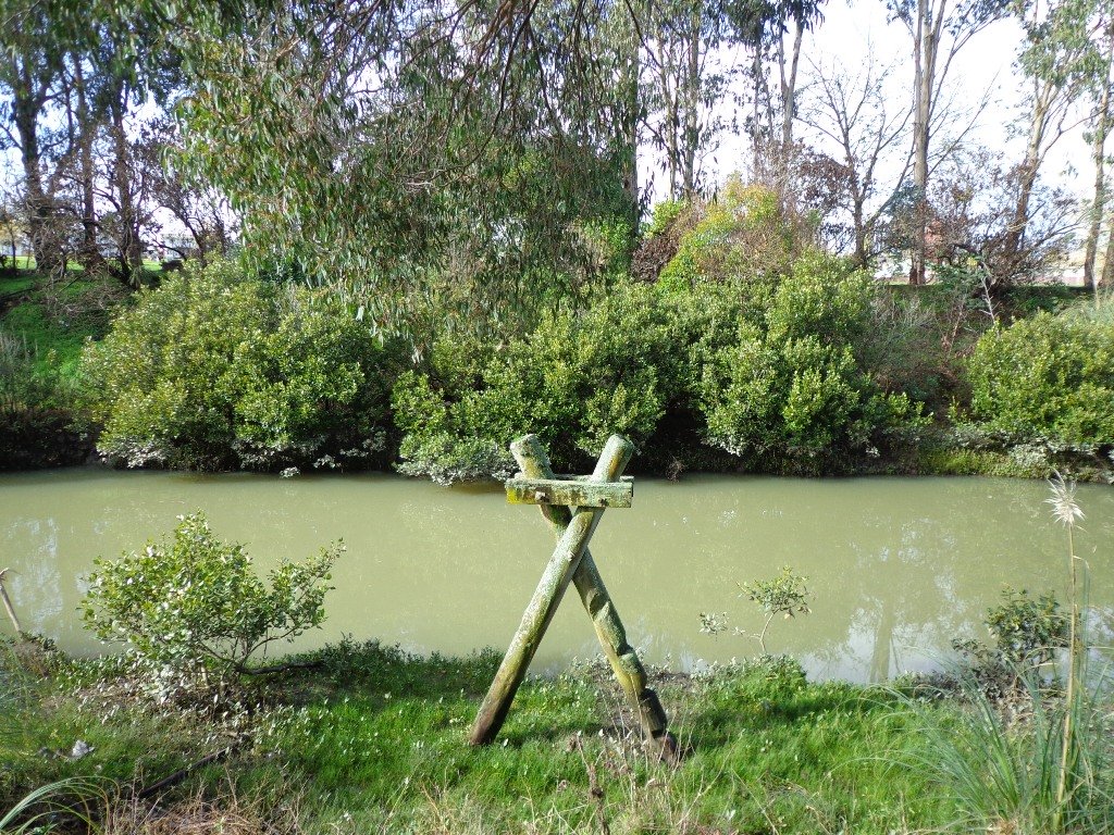
It turned out to be a wonderful warm spring day – perfect for exploring the pathways beside Henderson Creek in West Auckland. The previous Waitakere City Council has spent a great deal of ratepayers money on providing walkways and cycle-ways throughout the district. It was heartening to see people make the most of them as we walked alongside the Creek.
Hopefully the “International Walkway of Trees” section will become a wonderful legacy as many of the trees were gifted and planted for future generations by representatives of the ethnic communities living in Waitakere City as at October 2000.

What was missing though, was signposting and maps to indicate where you were and how far to go. We had printed off our own map before starting off, but for newcomers without a map, they could only venture there and back, for fear of getting lost.
Henderson Creek was once a hive of activity for traders, vintners, farmers, orchardists and families, and the area was also known for it’s timber milling industry.
We did enjoy our 4.5km walk – the sun was shining, the birds were singing, we were sheltered from the cool breeze and this was a part of Auckland that was new to us. To top it all off, we had a delicious coffee at The Falls Restaurant – sitting outside in the sunny courtyard.
Dogs – Off leash areas within reserves and parks.
Description: Mostly level paths.
Suitable for most ages and levels of fitness and mobility, designed with flat shoes or running shoes in mind. Suitable for pushchairs.
To see: Henderson Creek, historical sites.
Time: approx. 60 minutes (about 4.5kms).
Parking: Public carpark (free on Sundays).
Start: Corner Edmonton Road/Alderman Drive.
MAP
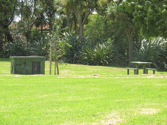
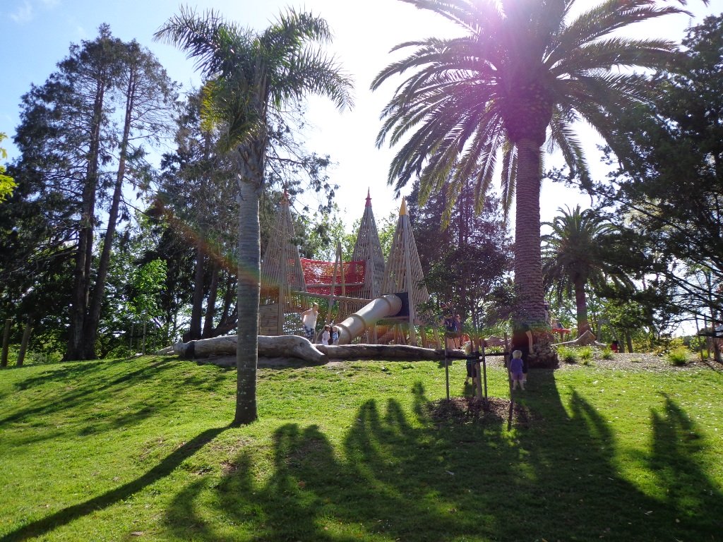
Playground: Tui Glen Reserve (includes a flying fox).

Stay on track…find this walk’s map and directions guide (AW-094 Henderson Creek Loop) and other walk self-guides at our Walk Store and our Book Store (one of 12 walks featured in our books “Dog Friendly Walks part 3” and “Best of the West”).


Blockhouse Bay Tiriwa walk
The Blockhouse Bay Tiriwa walk in Auckland follows the high cliff edge alongside Manukau Harbour to Green Bay Beach and then continues inland to Craigavon Park.
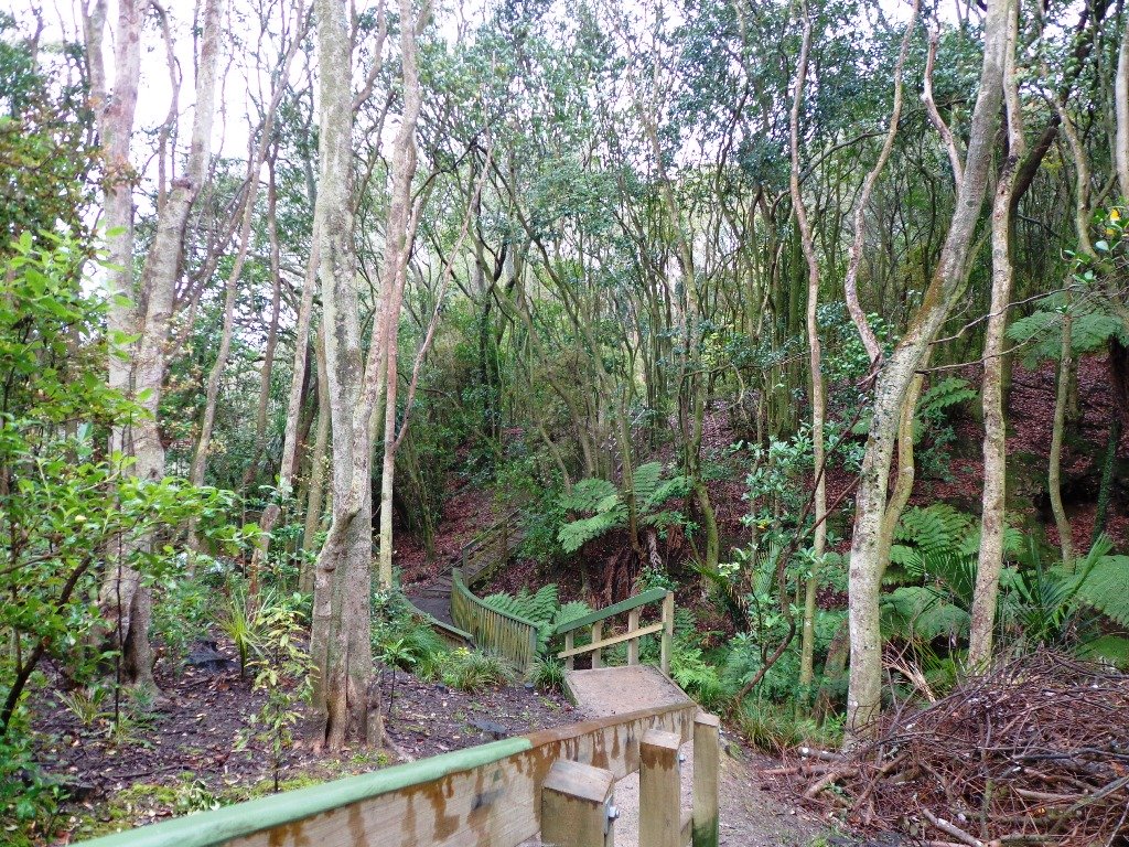
This is another newly discovered gem for us. The Pathway of Tiriwa (Te Ara O Tiriwa) is named after a Maori chief who lived in the area pre-canoe days. The pathway takes you through Punga ferns and mature Puriri trees. Native pigeons feed here in summer months.
There are steep steps down and up the small gullies along the pathway, and the track was muddy today but not too bad (best to walk in dry weather).

We stopped for refreshments at the newly opened The Block cafe in the main street of Blockhouse Bay. What a wonderful “buzzy” community friendly place – and the menu looked mouth watering. The brunch plates that were being served looked generous.
Dogs – this walk includes an off leash dog exercise area in Craigavon Park.
This walk also includes children’s playgrounds, picnic spots with BBQ’s, a fitness trail, public toilets – and hungry ducks to feed.
Description: Bush track, steps, inclines. Muddy in places when wet. Suitable for users of average fitness and mobility.
To see: Native bush, views across Manukau Harbour, native birds
Time: approx. 60 minutes. (about 5.0 kms).
Parking: Blockhouse Bay Reserve
Buses: Blockhouse Bay Road MAP
Stay on track…get your detailed guide and map over at our Walks Store (AC-087 Blockhouse Bay Tiriwa Walk) and from our …
Book Store (one of 12 walks featured in our books “Dog Friendly Walks part 2″ and “Best of the West“).

Click photos to enlarge.
Lynfield Coastal Walk
The views across to Blockhouse Bay and Manukau Heads in the far distance along the Lynfield coastal walk this morning, were spectacular! The sun was shining, the sky was clear and the tide (check here for tide times) was almost full.
This was an explore walk for us – trying to work out the best circular route without too much street walking. The route has a few steep ups and downs, which makes it a good workout. We met some people who were walking their dog off leash along the reserve.
July 2016 Update: The sculpture “Open Stone” by late Japanese sculptor Hiroaki Ueda is now on view in the Manukau Domain, Lynfield.
Description: Bush track, steps, inclines. Muddy in places when wet. Suitable for users of average fitness and mobility.
To see: Native bush, views across Manukau Harbour, native birds.
Time: approx. 45 minutes. (about 3.75 kms). One small children’s playground. Dog friendly off-leash in Manukau Domain (alongside the Lynfield Cove Walkway).
Parking: Himalaya Crescent, Lynfield.
Buses: Halsey Drive, Lynfield MAP
Stay on track…find this walk’s map and directions guide (AC-086 Lynfield Coast & Bush Walk) and other walk self-guides at our Walk Store.
Northcote Tuff Crater Loop
This loop walk that takes in Northcote’s volcanic Tuff Crater and Onepoto Domain is based on one from Margaret Scrymgeour’s booklet “Explore the Shore”.

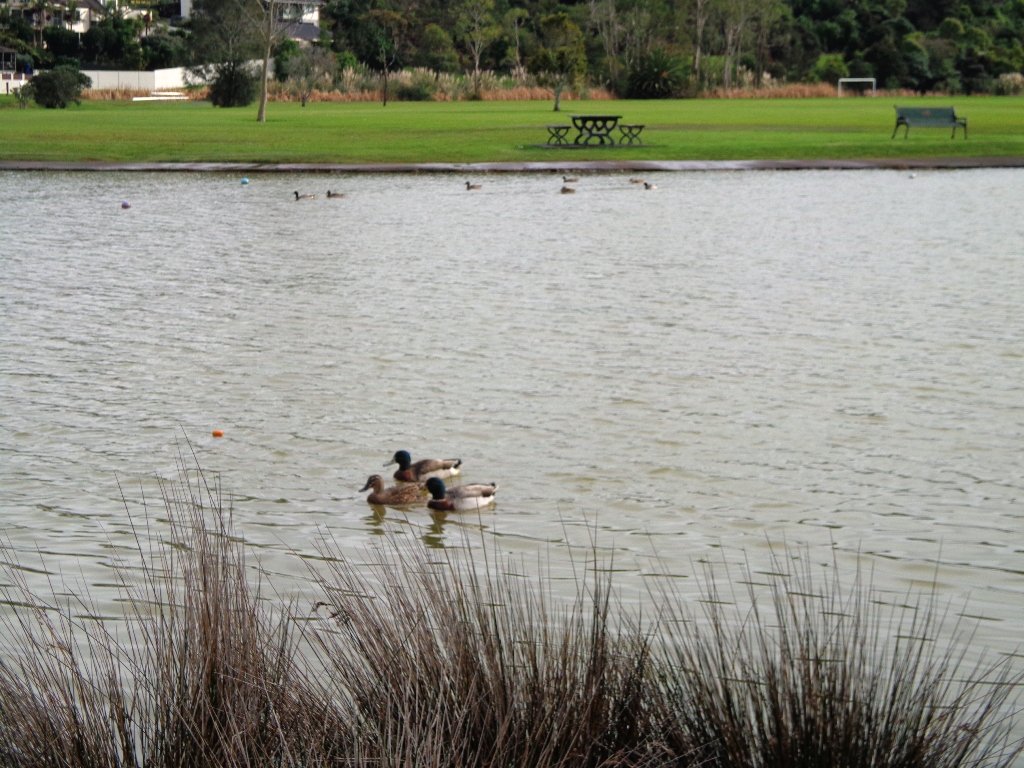
We started the walk from the children’s playground area at Onepoto Domain. We had heard about the children’s cycle track and it is a really safe place to bring young children and their bikes. The playgrounds looks like a lot of fun too (it has a flying fox). It is a great place to have a picnic, feed the ducks and an ideal spot for parenting groups to meet up.
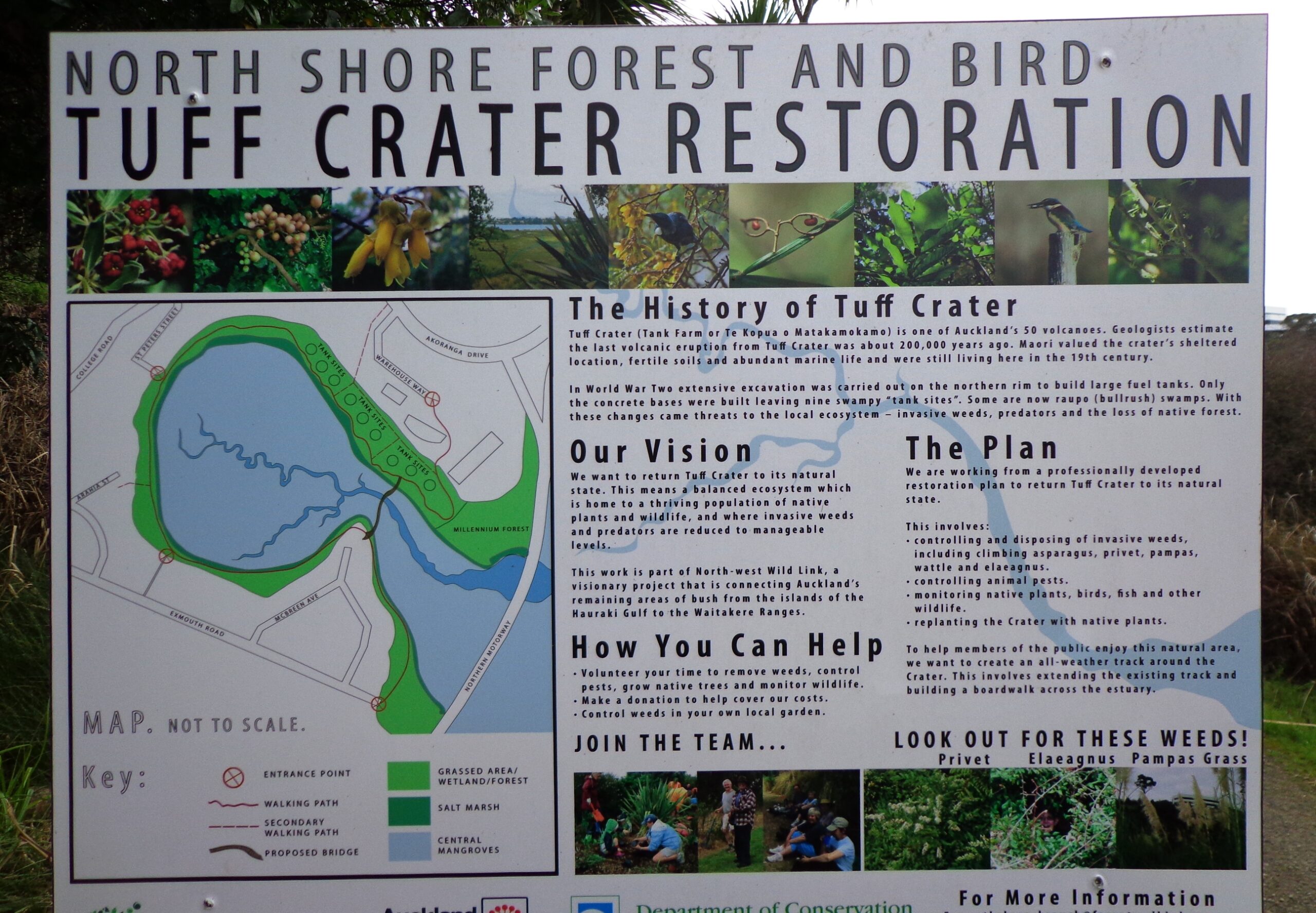
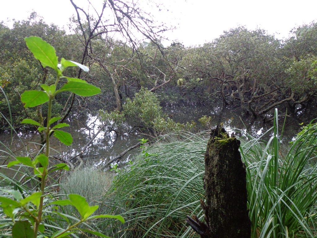
Onepoto Basin is another of Auckland’s explosion craters and it is the oldest dated, erupting about 250,000 years ago. The Maori name “Onepoto” means small beach (named after Halls Beach near Northcote Point).
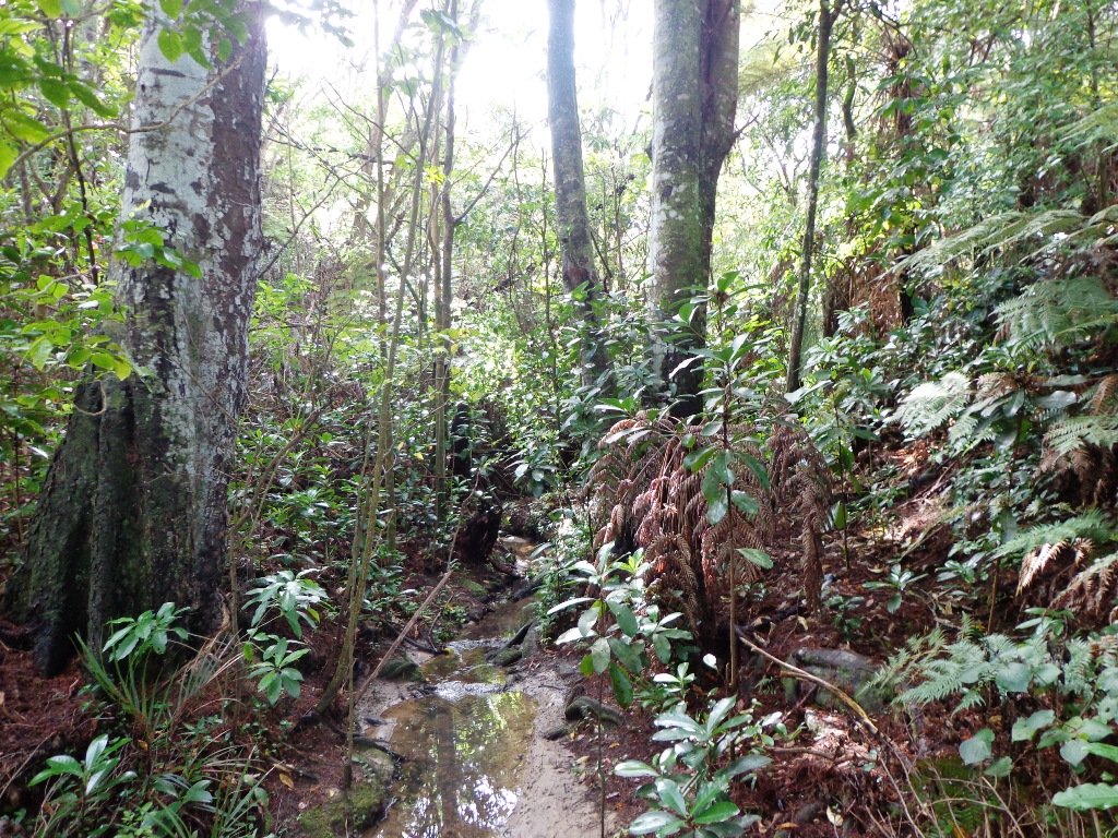
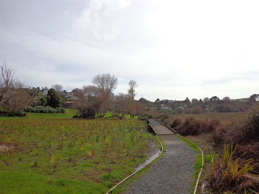
Tuff Crater is another explosion crater (this one is filled with water), which is being restored to its natural state with a balanced ecosystem of native plants and wildlife, all with volunteer help. It was formed by explosive eruptions around the same time as Onepoto.
For more information about the Tuff Crater, you may wish to view this video. (please note that our loop walk includes part of the Tuff Crater. There are future plans to build a circular walkway completely around the Tuff Crater).

Dogs may be off-leash on the track within the Tuff Crater Reserve (according to Auckland Council Bye-laws Department re phone call 3/6/2014). There is a risk that they could disturb endangered bird life, so please keep them under control. We do have a request for dog owners to pick up litter (as we did come across litter).
PLEASE NOTE: As of the 29th October 2014 the new dog rules for Tuff Crater – Dogs prohibited within the foreshore (mangroves) of Tuff Crater; on-leash on track around reserve.
Description: Bush tracks, steps, inclines. Muddy in places when wet. Suitable for users of average fitness and mobility.
To see: Native bush, views across Auckland Harbour, native birds, volcanic crater
Time: approx. 60 minutes. (about 5.0 kms). Dog friendly, but on leash only.
Parking: Onepoto Domain, Northcote.
Buses: Onewa Road, Northcote MAP

Google Maps for
Onepoto Domain &Tuff Crater
Stay on track…get your detailed guide and map (AN-085 Northcote Tuff Crater Loop) over at our Walks Store and our Book Store (one of 12 walks featured in our book “Dog Friendly Walks part 1”).
Westmere Loop Walk
This Westmere Loop walk explores the gems of Wellpark Reserve and Jaggers Bush Reserve beside the creek, and touches on the harbour edge at Westmere Park and the end of Garnet Road. It is interesting to observe the varied style of housing. At low tide it is easy to take a short cut alongside the harbour.

Despite the grey clouds and the rain forecast, we set off to explore the streets and reserves of Westmere, starting from the fabulous community-minded Garnet Station Cafe in Garnet Road.
Description: Bush track, steps, inclines. Muddy in places when wet. Suitable for users of average fitness and mobility.
To see: Native bush, views across Auckland Harbour, native birds.
Time: approx. 75 minutes. (about 5.5 kms). Dog friendly (off-leash in Jaggers Bush Reserve).
Parking: Garnet Road, Westmere.
Buses: Warwick Avenue, Westmere MAP
-
 Westmere Loop Walk$1.79
Stay on track…find this walk’s map and directions guide (AC-083 Westmere Loop Walk) and other walk self-guides at our Walk Store.
Grey Lynn Explorer
It was time to visit the newly opened (15th June 2013) Cox’s Bay Reserve boardwalk and to incorporate it into another circular walk to add to our collection.

This walk explores both Cox’s Bay Reserve and Grey Lynn Park.
Cox’s Bay Reserve is made up of three parks – Hukanui Reserve where the new boardwalk is, Bayfield Park where you may wish to have your picnic, and the sports fields of Cox’s Bay Park. It is a mini-paradise for dog owners with off-leash dog exercise areas.
And it is family friendly too, with a selection of children’s playgrounds and picnic sites. It is a great place for joggers and people who like to use the outdoor fitness stations.
The wide open spaces, sculptures, playing fields, the creek, mangrove swamps, gullies, the bay itself, a field with cattle and tall mature trees surrounded by interesting residential housing, make this another walk that is full of variety.
Also of interest is the Kelmarna Gardens Nature Trail off Hukanui Crescent – A self-directed nature trail will show you chickens, vegetable gardens, a pony and young cattle, an organic orchard, beehives, worm farm, compost making, native trees and flax. The trail winds its way through the gardens, across paddocks and links to Cox’s Creek Walkway. The gardens were established in 1981 and have been organically managed for 32 years. The land is owned by Auckland Council for the benefit of the whole community.
For history information visit “Meanderings about Cox’s Creek”.
Dogs – Off leash exercise areas in Cox’s Bay Reserve and Grey Lynn Park (check signage for rules).
Description: Paved walkways, steps, inclines and board walks. Suitable for users of average fitness and mobility. (Suitable for prams/buggies excluding the steps).
To see: Sculptures, playing fields, the creek, mangrove swamps, gullies, the bay itself, a field with cattle and tall mature trees surrounded by interesting residential housing.
Time: approx. 70 minutes. (about 5.58 kms)
Parking: Westmoreland Street West off Richmond Road, Grey Lynn.
Buses: Richmond Road, Grey Lynn MAP
Children’s playgrounds. Off-leash dog exercise areas in in Grey Lynn Park and Cox’s Bay Reserve (please read the signs).
Cafe: Bread and Butter

Stay on track…get your detailed guide and map over at our Walks Store (AC-081 Grey Lynn Explorer) and our Book Store (one of 12 walks featured in our book “Dog Friendly Walks part 3”).
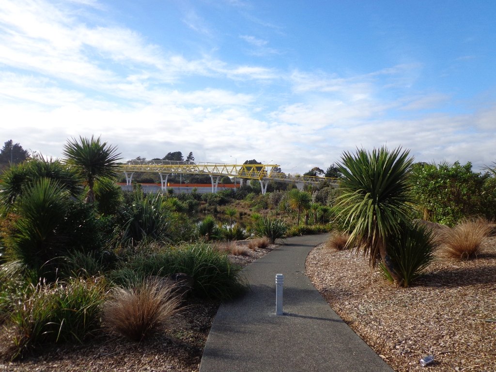
Moire Park Bush Walk
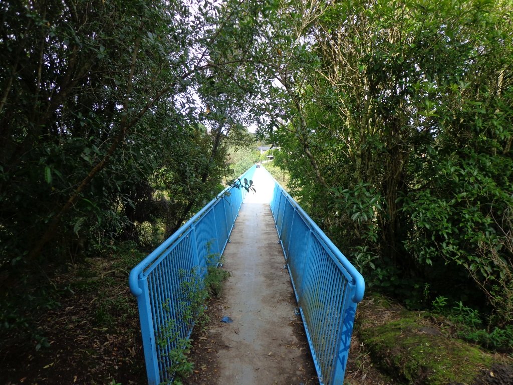
We have done this Moire Park Bush Walk in Massey, West Auckland, twice previously and this time we returned to make use of the yellow walking/cycling bridge that now crosses the motorway.
Note: this GPS Google Map is of Moire Park and does not include some of the extra walking described in the description below and brochure.
The walk now begins from Westgate Shopping Centre with the option of starting from the Moire Park sports complex off Granville Drive, if preferred. There is a short stretch of street walking, but the majority of the walk is off road with a long stretch through native bush, following the Manutewhau Stream.

There is a collection of children’s playgrounds (some with flying fox) that could provide a great incentive for doing the walk with children, and if you take some bread, you may wish to feed the ducks in the ponds near Westgate.
The view from top of Flaunty Reserve across Auckland Harbour to the city can be breath-taking.
Description: A mix of level paths and steep paths. Suitable for users of average fitness and mobility. May require boots in wet weather, running shoes suitable in dry weather. Muddy tracks after rain.
To see: Auckland City views, Waitakere Hills view, views of Te Atatu Peninsula, native trees and fauna, urban development. Childrens playgrounds. Dog friendly off leash areas.
Time: approx. 75 minutes. (about 6 kms)
Parking: Westgate Shopping Centre.
Buses: Westgate Shopping Centre MAP
Stay on track…get your detailed guide and map (AW-031 Moire Park Bush Walk) over at our Walks Store and our Book Store (one of 12 walks featured in our books “Urban Bush” and “Dog Friendly Walks part 1” and “Best of the West“).


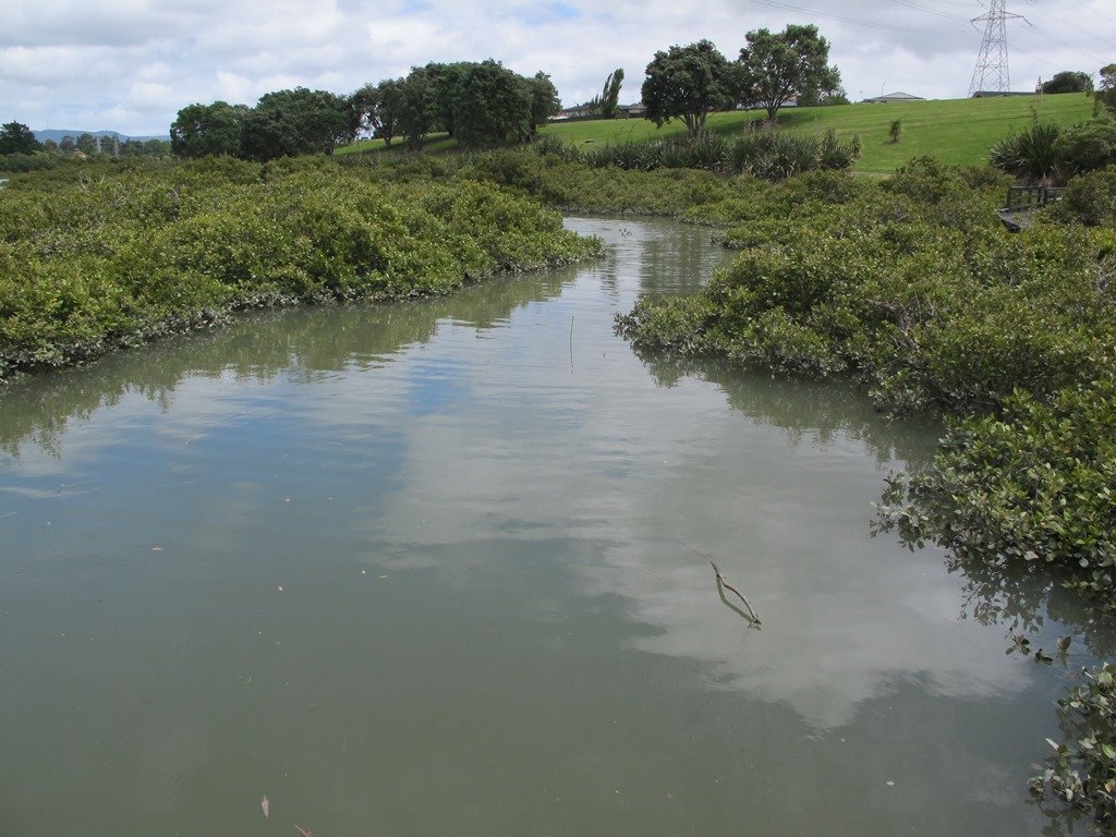
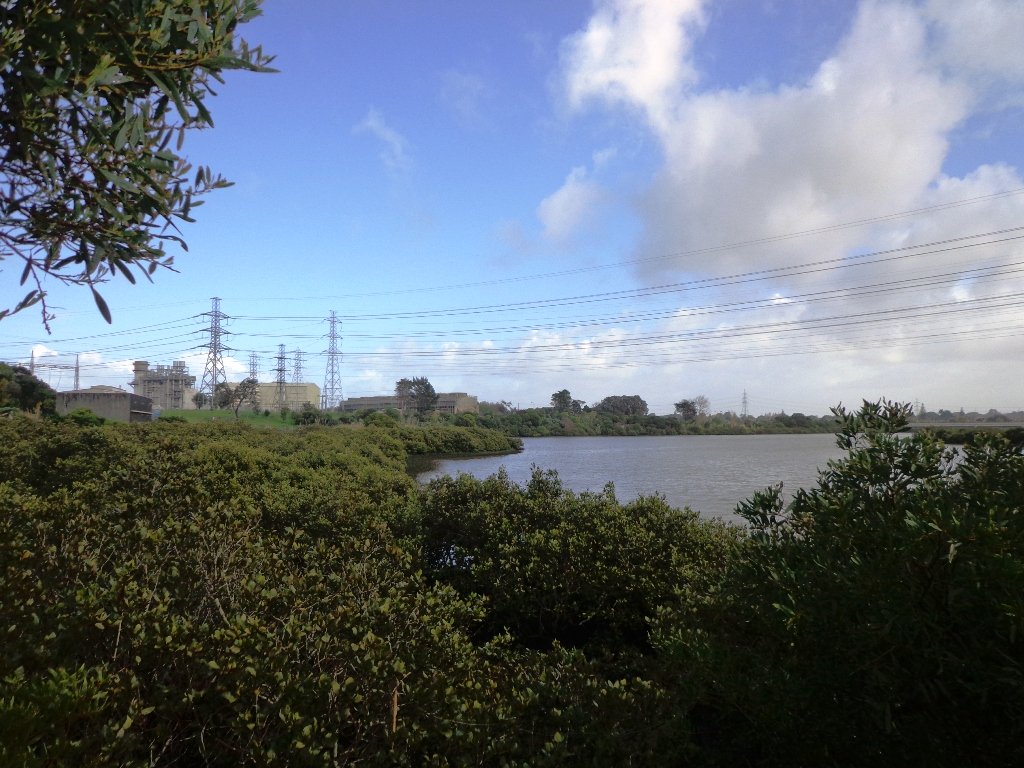
Otara Creek Walkway
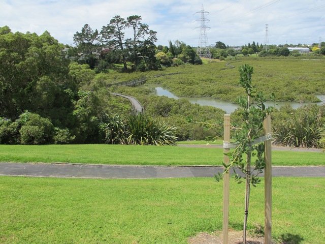
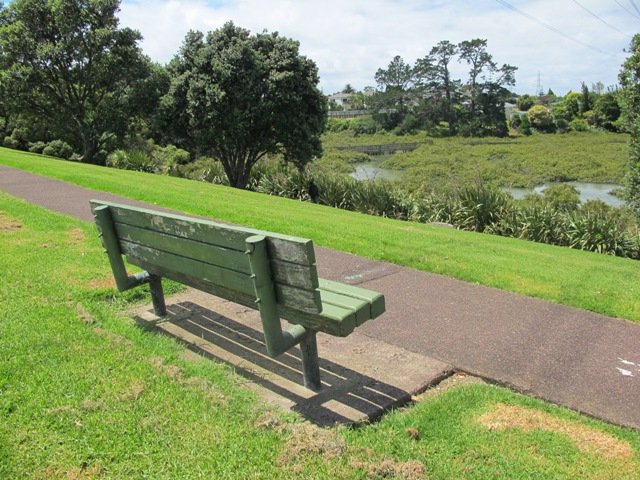
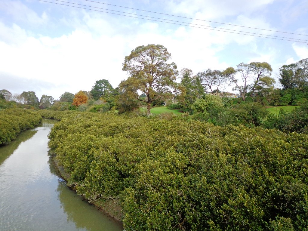
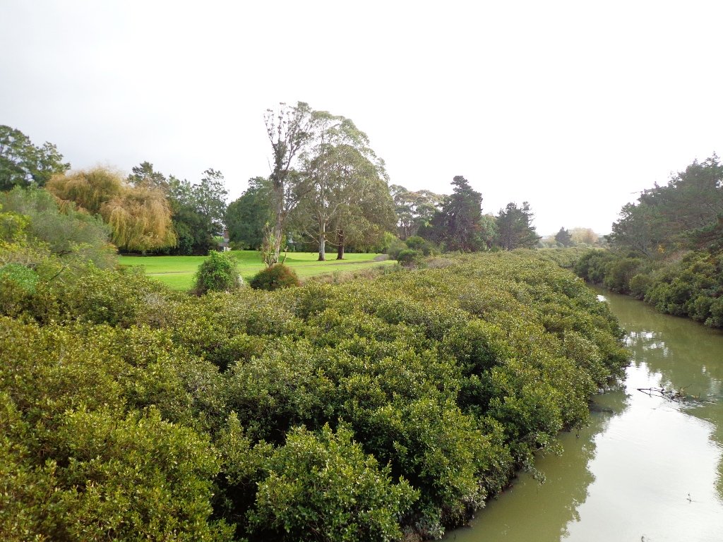
The Otara Creek Walkway in South Auckland, passes through some 220 hectares of waterway/tidal mudflats and forms a green corridor within Otara township.
This huge reserve was almost empty today; we saw two cyclists and one stray dog.
This walkway is ideal for family cycling and for taking your dog for an off-leash walk. (Dogs are welcome along the walkway provided they are kept under control and do not disturb wildlife or other park users. Dogs are not permitted on sport fields or near children’s playgrounds.)
The creek has mangrove mud flats and is sadly polluted – the locals seems to take delight in dropping shopping trolleys into the creek. However, if you can overlook the neglect, you may find enjoyment in the bigger view: the sounds of the birds and the trees and the native plants within the Otara Creek Reserve.
When I got home the thought came to me what it was that was missing here. Other walks along waterways in Auckland like Wattle Downs and Conifer Grove have homes facing the waterway, but here alongside Otara Creek, there are only fenced off back yards. Would people feel a sense of ownership, if another row of houses inside the reserve faced the creek?
History: An Otara timeline from 1955 to 2010
Description: Mainly level paths. Suitable for users of average fitness and mobility. Dog friendly.
To see: Otara Creek and estuary, mangrove mud flats
Time: approx. 75 minutes. (about 5.75 kms)
Start from: Fair Mall, Bairds Road, East Tamaki MAP
-
 Otara Creek (5.75kms)$1.95
Stay on track…get your detailed guide and map (AS-073 Otara Creek Walkway) over at our Walks Store and our Book Store (one of 12 walks featured in our books “Dog Friendly Walks part 3” and “Best of the South”).

Karangahape Road and Parks

The weather did not look too promising this morning (it did improve), so we set out to walk the back streets and parks of Auckland City. This walk provides fine views of Mt Eden (down the side roads off Karangahape Road), the Harbour Bridge and the Sky Tower.

We got our ‘out in nature’ hit in Myers and Western Parks (with children’s playgrounds and a dog friendly off-leash exercise area). The Children’s playground in Western Park has seven slides and a Flying Fox, making this a short family friendly walk.
Auckland doesn’t seem so big when we walk it – it seemed to take no time at all to walk from Aotea Square to Ponsonby!
This is a great walk for visitors to Auckland and for families. Catch the train to Britomart to begin the mini adventure!
We walked up to the Art Gallery in Kitchener Street to try the Mojo Cafe on Level One of the Art Gallery for the first time.
Description: A mix of level paths, steps and slightly inclined paths. Suitable for users of average fitness and mobility. May require boots in wet weather, running shoes suitable in dry weather.
To see: Views of Mount Eden, Auckland City, Auckland Harbour bridge, parks, K’Rd shops
Time: Loop approx. 60 minutes. (about 4 kms)
Parking: 1 hour meter parking off Queen Street (2 hours on Sundays)

Stay on track…get your detailed guide and map over at our Walks Store (AC-036 Karangahape Road and Parks) and our Book Store (one of 12 walks featured in our book “Dog Friendly Walks part 2”).
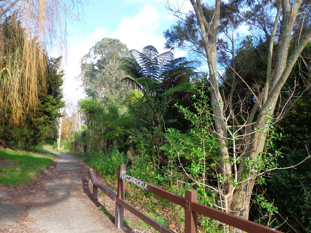
Moire Park, Massey
 This is the second time we have been to Moire Park in Massey/West Harbour West Auckland (the first time was 12 months ago). The park has many paths of different grades to suit all kinds of walkers. The walking circuit we have documented takes in the variety of the paths and scenery – from native bush to a hill view of the City.
This is a dog friendly walk. (See other Dog Friendly Walks) And there is a variety of playgrounds for children to enjoy. There is a BBQ and picnic area available. And a Pump Park for young cyclists.

We studied the map near where we parked the car in Granville Drive (a great looking children’s playground nearby). We thought we had it sussed and set off. We had a print-out of the map with us because even though there are markers pointing out the tracks, they are not numbered or colored. This area would be enhanced with better sign-posting.
Note: this GPS Google Map is of Moire Park and does not include some of the extra walking described in the description below and brochure.
Description: A mix of level paths and steep paths. Suitable for users of average fitness and mobility. May require boots in wet weather, running shoes suitable in dry weather. Muddy tracks after rain.
To see: Auckland City views, Waitakere Hills view, native trees and fauna, urban development.
Time: approx. 75 minutes. (about 6 kms)
Start: Westgate Shopping Centre. MAP
Stay on track…get your detailed guide and map over at our Walks Store (GS-031 Moire Park Bush Walk) and our Book Store (one of 12 walks featured in our books “Urban Bush” and “Dog Friendly Walks part 1”).

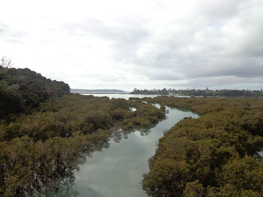
Avondale Whau River walk

The Avondale Whau River walkway from New Lynn, was a new discovery yesterday. The Whau River is almost full of mangroves but it does have a boardwalk going across thanks to Dawn Persson’s commitment to the Avondale Community.
This is a dog friendly walk with an off-leash exercise area and is a mostly flat walk – just one gentle rise after the boardwalk. The walking route is also suitable for prams/buggies.
You may like to pack a picnic or take advantage of the nearby New Lynn Cafes.
Description: A mix of mainly level paths and one slightly steep path. Suitable for users of average fitness and mobility. May require boots in wet weather, running shoes suitable in dry weather.
To see: Water birds, Mangroves, river views, boardwalk
Time: approx. 50 minutes. (about 6 kms)
Parking: Lynn Mall Shopping Centre Carpark

Stay on track…get your detailed guide and map (AW-030 Whau River Loop) over at our Walks Store and our Book Store (one of 12 walks featured in our books “Dog Friendly Walks part 2” and “Best of the West“).