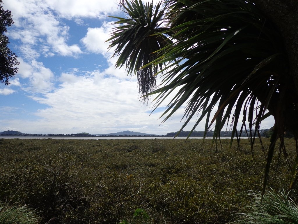
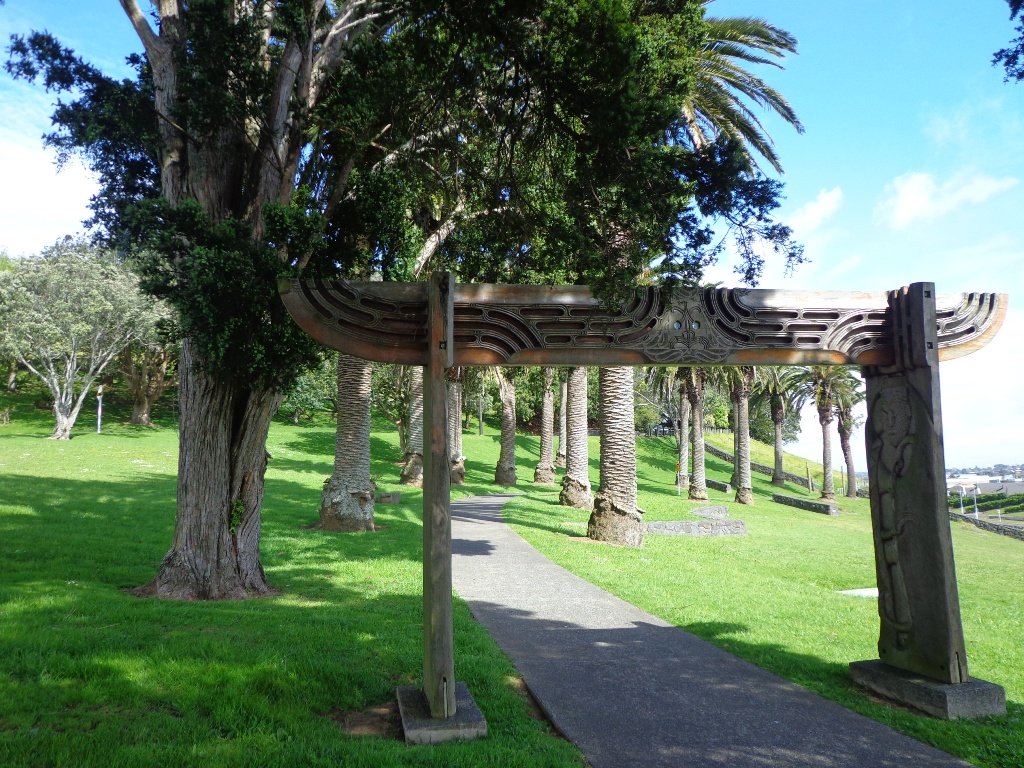
Discover Auckland Central’s volcano walks, harbour walks, nature walks, coast to coast walks, historic cemeteries, parks and reserves, farmers markets, Cornwall Park farm and more…
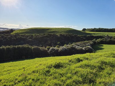
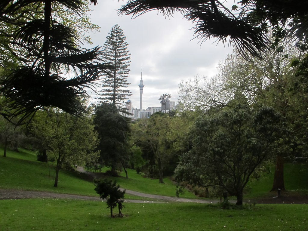
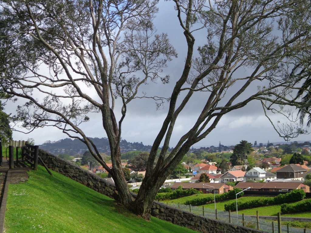
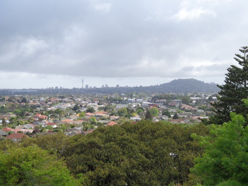
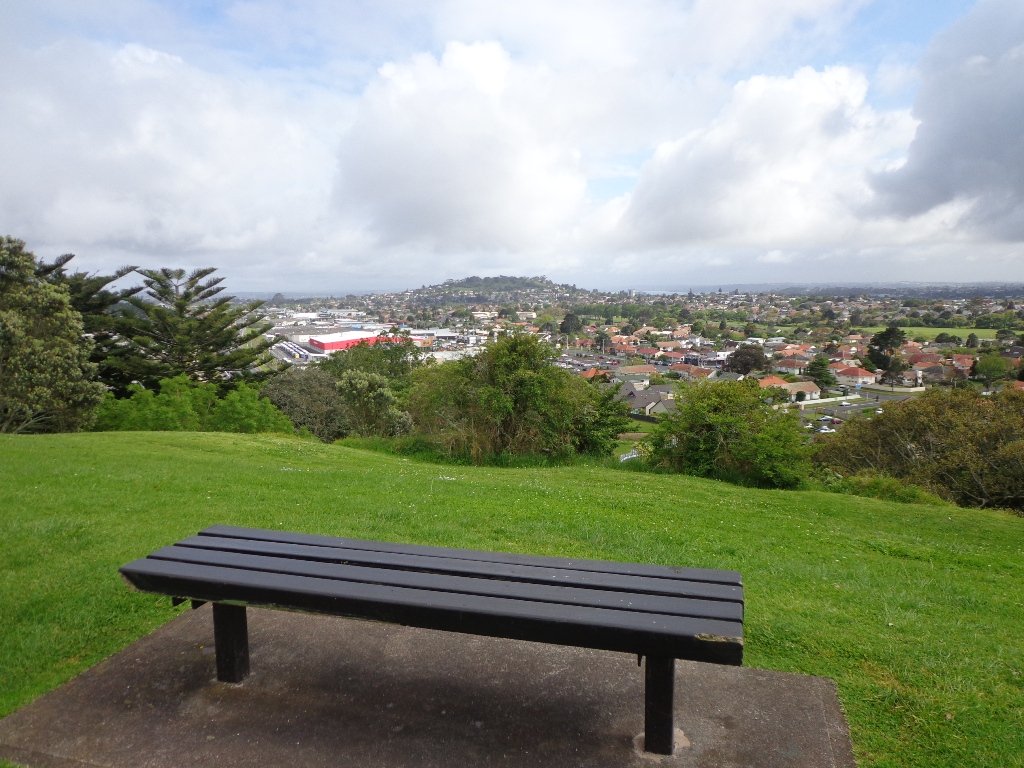
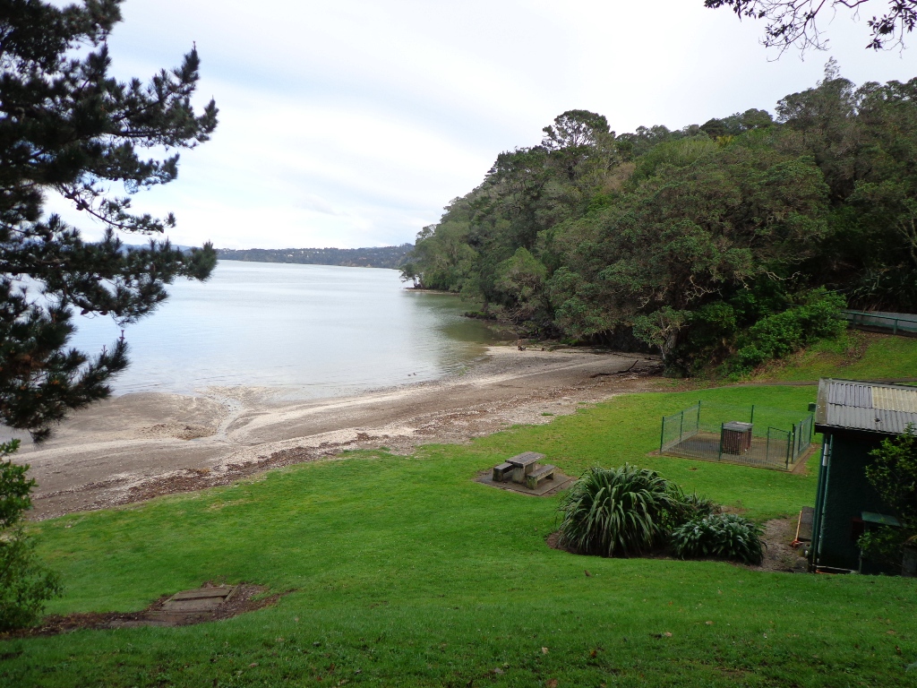
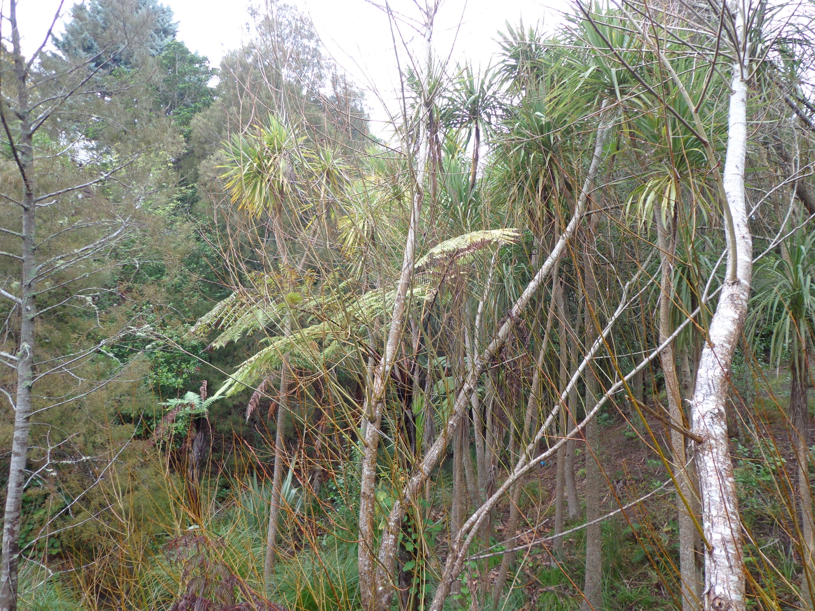
Hamlins Hill (Mutukaroa) Regional Park is a gem in the midst of Auckland City with a rich history and plenty of open space for you to unwind and enjoy. You can enjoy 360 degree views of Auckland city and explore the bush where you almost forget you are in the middle of New Zealand’s largest city. At times you are only 20m from the main Eastern Arterial route, but you feel one hundred miles away!
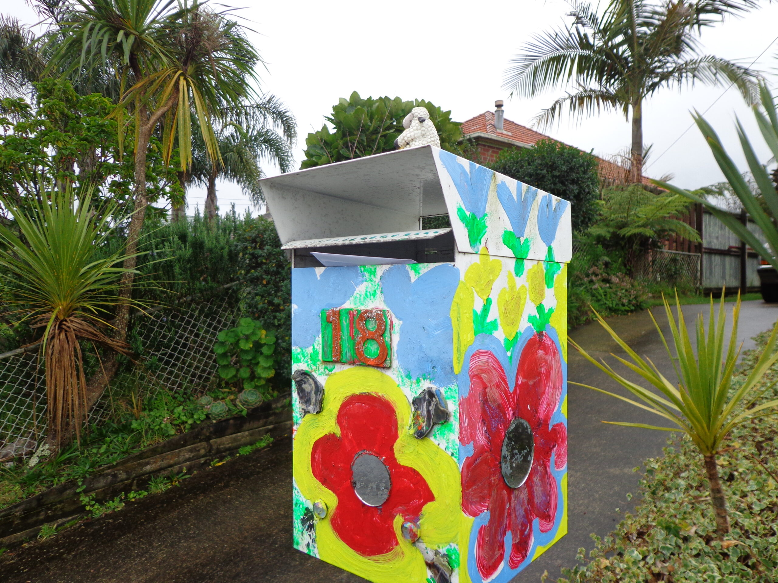
Amazing Hamlins Hill – serenity in the heart of Auckland
Beautiful gardens, huge Pohutukawa trees, history, sculptures, monuments, swimming and wonderful Harbour views ensure the Parnell Rose Gardens Loop is a walk for all to enjoy. Add to this the onsite Redwall Chinese Restaurant and famous Rosie Cafe and you have the perfect experience.
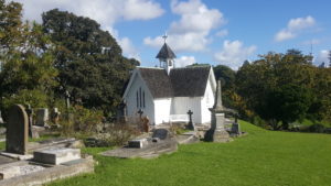
Historic St Stephens Church and Graveyard – built 1859
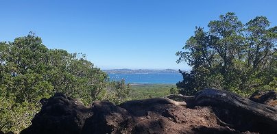
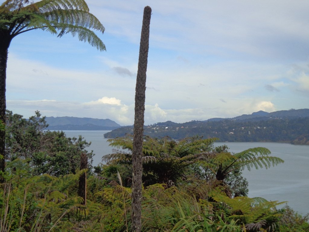
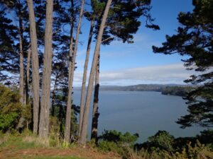
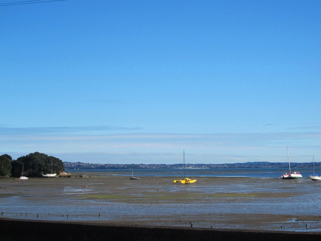
One of Auckland’s iconic landmarks, Rangitoto Island is an amazing day out. Arrive by ferry or private boat and explore, The 360-degree views of Auckland and the Hauraki Gulf from the summit are spectacular. There are plenty of other walking tracks if you are keen to explore further and short lava caves that are worth investigating.
Walk Time
1.5 – 2 hours return to summit, plus side walks. 1/2 day to full day to circumnavigate the island.
Surface
Formed track – lots of loose, fine scoria
Difficulty
3/5
Buggies/Wheelchairs
0/5 – most tracks not suitable. Vehicle Road is ok.
Fullers Ferry takes you to Rangitoto Island (photo from HERA)
What to see and do?
Rangitoto Island is one of Aucklands most famous volcanoes, seen from many parts of the Auckland Isthmus. Its impressive ’round’ shape and obvious volcanic look make it instantly recognisable.
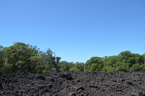
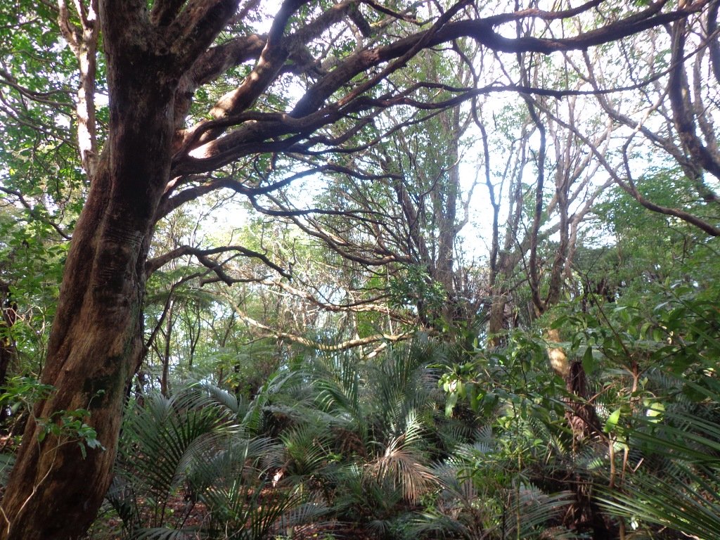
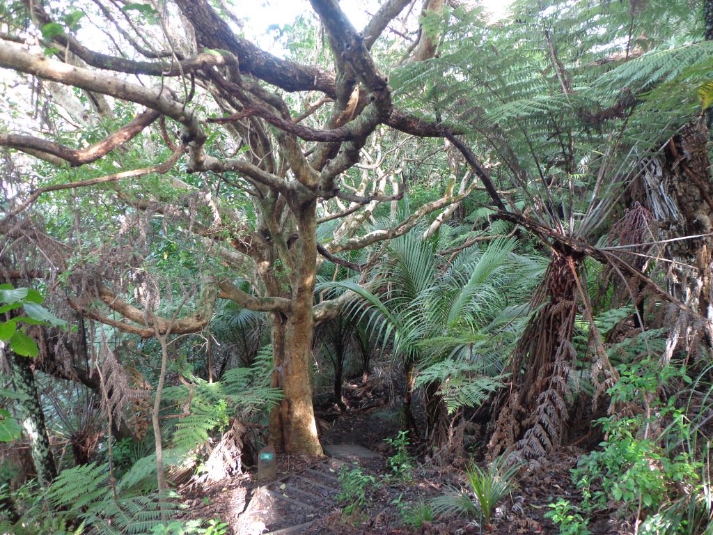
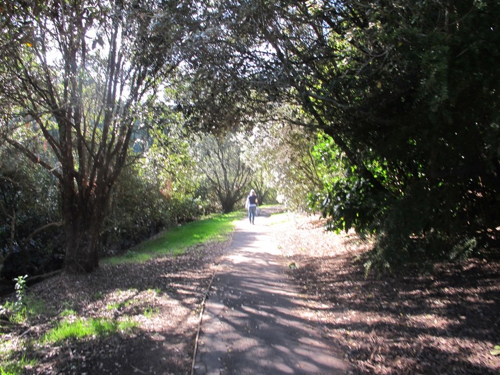
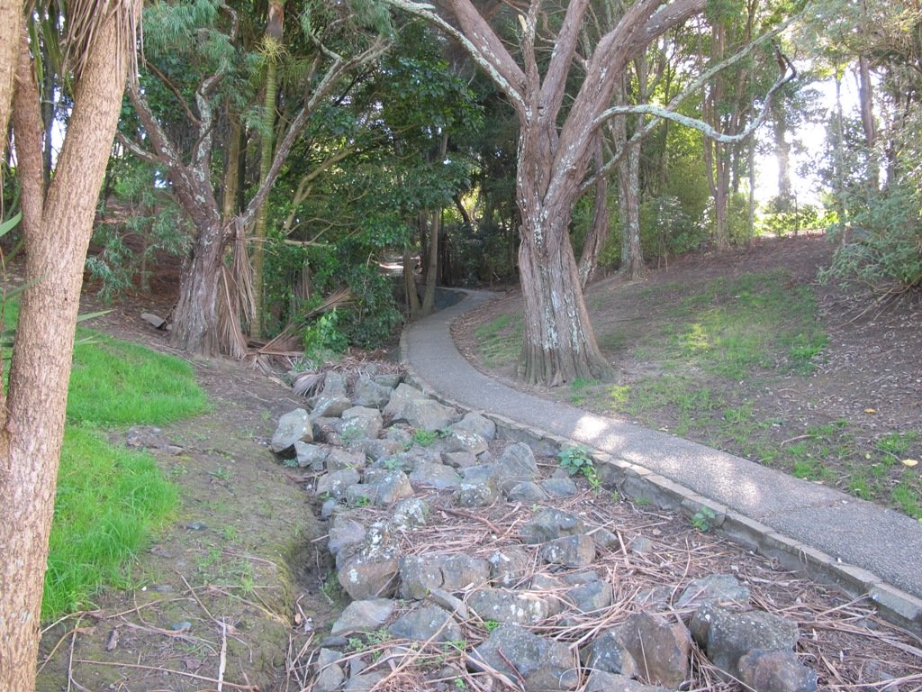
Rangitoto feels like a volcanic island. The black, rough scroria rock is all around and the many shapes of hard set lava are spectacular and at times dangerous looking! These days the bush has grown a lot on Rangitoto Island, making it a more pleasant and quite stunning walk, even on hot days.
Walking through native bush on Rangitoto Island
Top suggestions to see:
Spectacular views of Auckland City and the Hauraki Gulf from the summit
Volcanic rock and formations
NZ Native bush
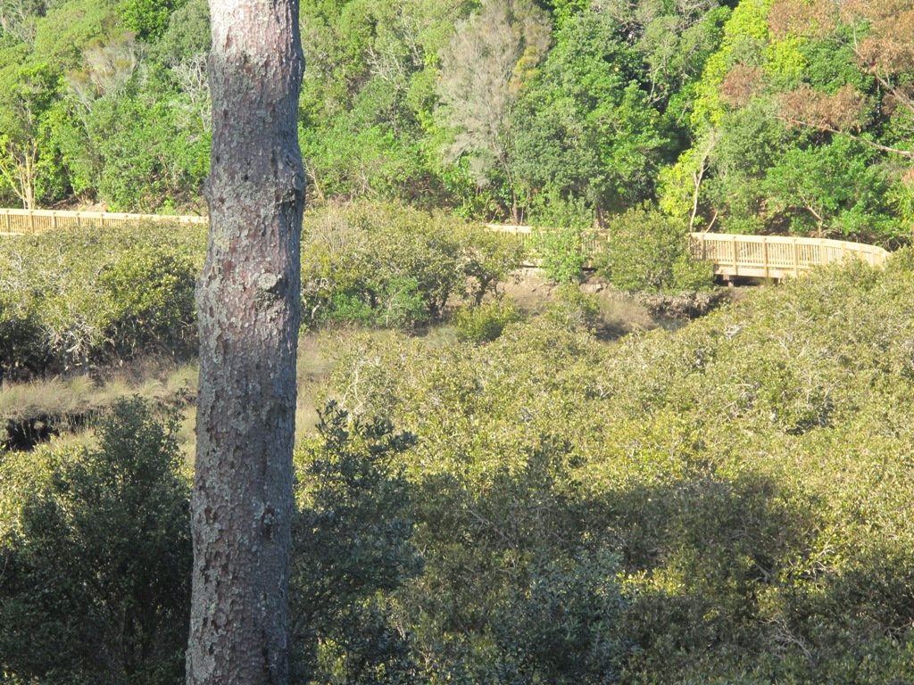
Lava caves – some which you can explore – they are only about 30-40m in length and marked on the map above
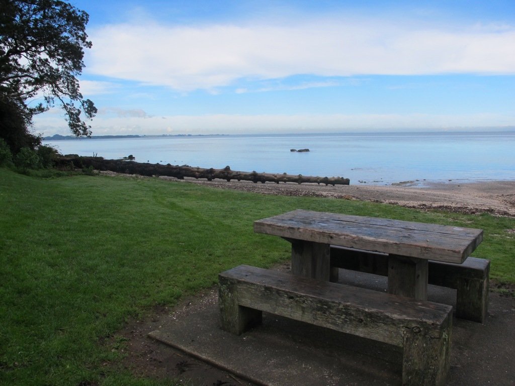
Swim – there is a lot of rocky coastline but the water is beautiful in summer! You can take the trek to Islington Bay for a sandy beach but this is up to 2 hours! I will add this to the Google Map when I get the chance to GPS the other tracks.
View the remaining historic and original waterfront cottages.
Swimming – brave the rocky rugged coastline for a dip or swim at sandy MacKenzie Bay and Islington Bay.
You will want to allow at least half day for exploring this amazing and unique island and can easily take a full day to circumnavigate the island and take in the summit. Some of the bush is so beautiful and the views back towards Auckland give a unique and picturesque perspective.
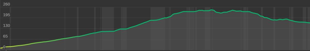
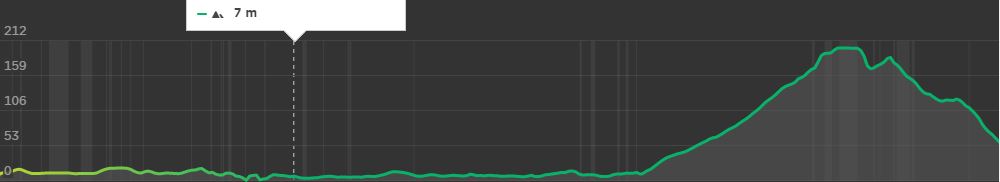
Rangitoto Island Elevation to the summit and the Lava Caves (far right point)Elevation for the around the Island Track, finishing prior to returning to the wharf
Walking Difficulty and Suitability
Rangitoto is a steady walk and requires average fitness and steadiness on your feet. It is not suitable for wheelchairs or baby buggies, having stairs. Underfoot, the scoria can be slippery but fine if you stay aware.
Walking to the summit (260m) is uphill all the way. There are plenty of beautiful views you can take in to have a break if needed. It can also get hot – so have plenty of water, along with some snacks.
There is also plenty of options for easy walks if a person uses the Vehicle Track around the perimeter of the island. Once off the vehicle track, the routes are generally quite steep and unsteady.
Wheelchair and Buggie Suitability
Rangitoto is generally not suitable for wheelchairs and Buggies unless you stay on the Vehicle Track. This is a dirt road and gets reasonably close to the summit but a 20 – 30 min walk up stairs and steep hills will still be required to reach the summit.
This weather is looking stunning this Auckland Anniversary Weekend and here are 5 walks we suggest you could try that are both spectacular and nice and cool! Walk these tracks in the shade of some magnificent NZ native bush.
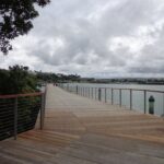
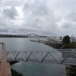
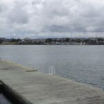
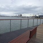
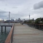
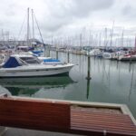
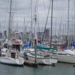
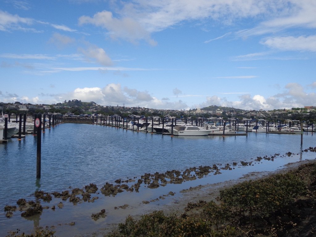
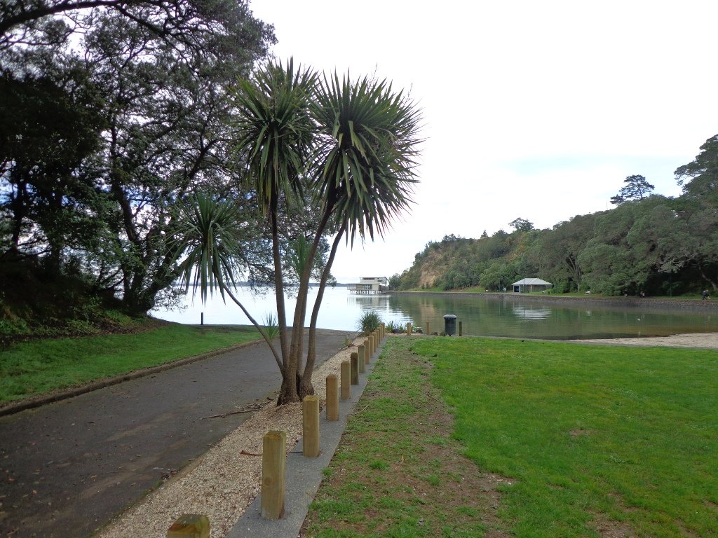
Without any obvious fanfare, the Westhaven Promenade unofficially opened yesterday (30th January 2015) for walking and cycling. And it is magnificent. Wide and spacious with wonderful views of our City of Sails. It really brings us close to the waterfront and we hope that many people will enjoy this facility. (Officially opened on the 16th February 2015).
Taking in the view along Westhaven Promenade.
We have two walks that include the Westhaven Promenade: Point Erin and Auckland Harbour and Westhaven Loop Walk. The Promenade currently links The Sitting Duck Cafe and Beaumont Street (opposite Victoria Park).
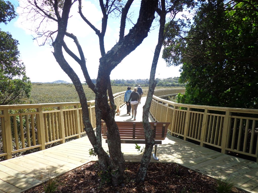
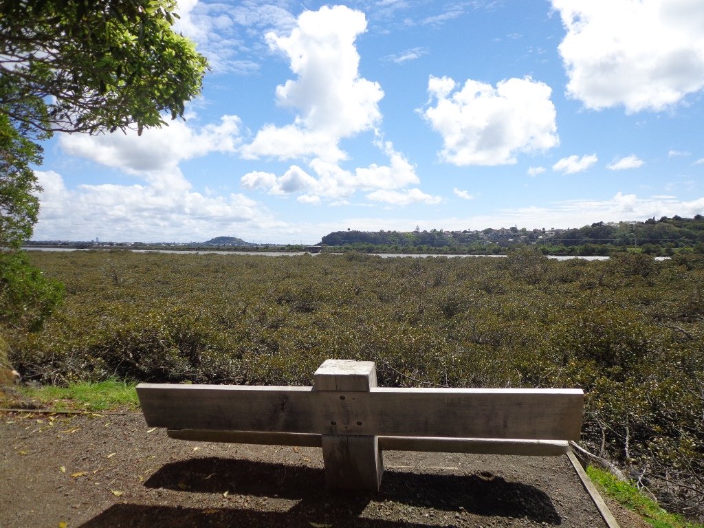
The next stage is an interim cycle path to link North Wharf to this new boardwalk, as announced by Auckland Transport. This will form part of a 20km continuous walkway and cycleway that runs from Herne Bay in the west to Tamaki Drive in the east.
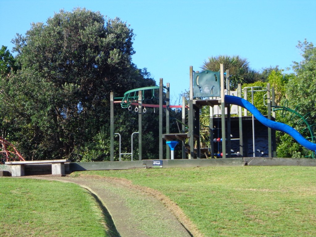
Waikowhai Park is a large piece of bush land and attractive park land off Hillsborough Road. The view from the car park above the playground has views across Manukau Harbour to Mangere Mountain and Ambury Park Farm.
It has a fantastic playground for older children that has an extra long slide and a flying fox. There is also a large off leash dog exercise area. There are public toilets by the playground. It’s a great place for a picnic on a fine day – there are tables by the playground, seats along the undulating bush tracks and plenty of grass in the park land.
We made the most of today’s fine weather and walked the circumference of Hobson Bay. Many of our walks touch on parts of Hobson Bay Walkway but to do the full circuit, we needed a low tide (check the tides here).
About half the route is along the busy roads, until we climb the ridge via Pt Resolution Bridge beside the Parnell Baths, to the quiet streets of Parnell and then back down again to the Bay and along the Freda Kirkwood Walkway.
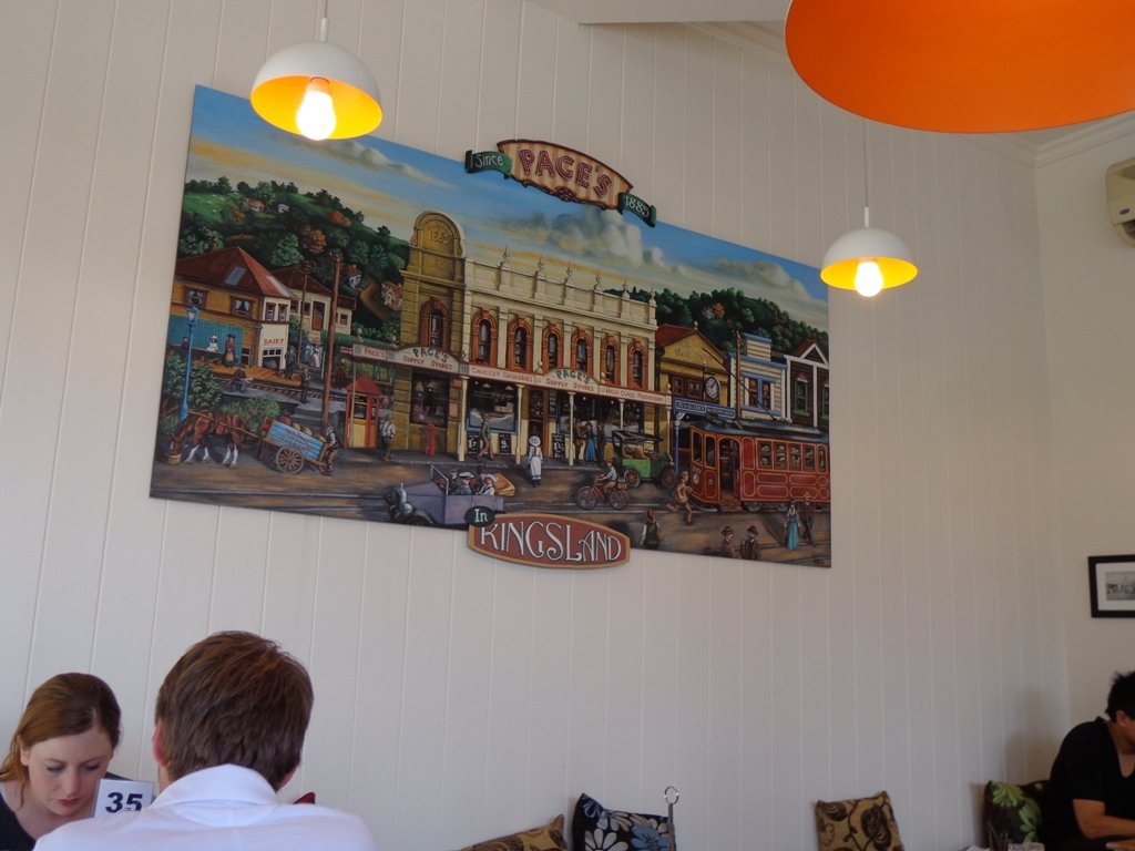
The painting above depicts what can be seen along the route, there is plenty to look at – trains, boats, sheds, birds, mangroves, board walks, beautiful houses; with views of Rangitoto, North Head and Mount Victoria.
We started this walk from Orakei Train Station, but you can choose your own start point at a convenient place along the circular 9km route.
Description: Mostly level paths, with some steep paths and steps. Suitable for most ages and levels of fitness and mobility, designed with flat shoes or running shoes in mind. Can be muddy on the foreshore. LOW TIDE access only. To see: Boats, trains, beautiful houses, birds, boardwalks, mangroves. Time: approx. 1 hour 45 minutes (about 9 kms). Start: Orakei Train Station. MAP
Due to the weather being unpredictable and grey clouds on the horizon, we decided to play it safe and headed to Ponsonby/Freemans Bay for a walk, knowing that we could always shelter under shop awnings if there was a downpour.
We were lucky – it stayed dry. Which also meant that we could observe our surroundings – the beautiful old style houses, the decorated ceilings, the sculptures, the shops and cafes and the trees in Western Park. It’s a changing landscape with always lots to see.
This is a great short walk if you work in Ponsonby and need to get out for a leg stretch. Or if you want to visit on a Sunday, there is lots of street parking available. Or you if you live here and just want to explore. You can start at any point on this circular route. And take a short diversion to Victoria Park Markets if that takes your fancy.
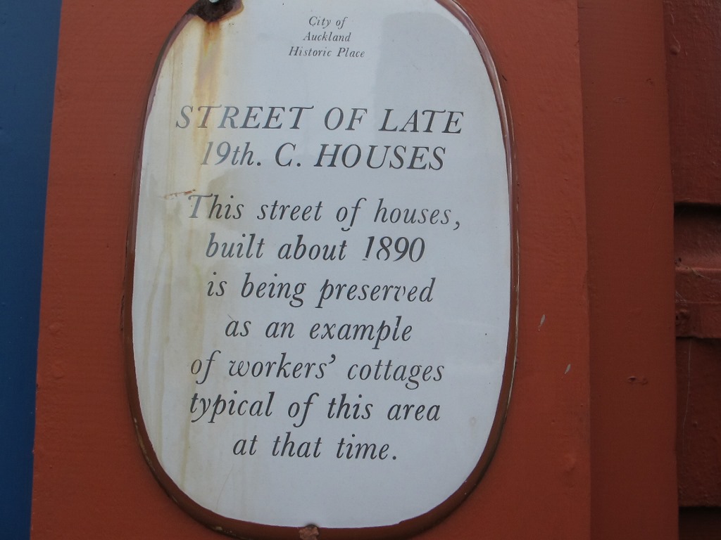
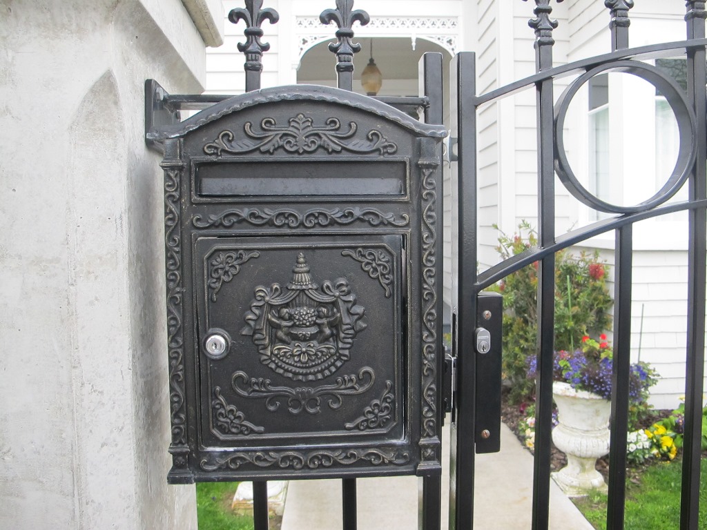
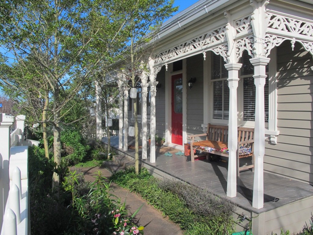
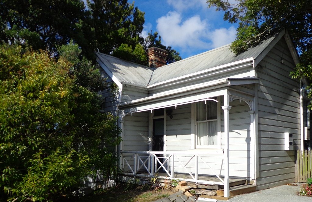
If you are into heritage homes, take a side-trip down Renall Street to view pre-villa Victorian houses built from the 1860’s to 1880’s for lower-income workers.
Western Park is an off leash dog exercise area and has a selection of picnic tables to make the most of on fine days. There is also a fun playground with slides and flying fox.
Description: Mostly level paths, with some steep paths. Suitable for most ages and levels of fitness and mobility, designed with flat shoes or running shoes in mind. Suitable for pushchairs. To see: Views of Auckland City skyline, beautiful old style houses, decorated ceilings, sculptures, shops and cafes and the trees in Western Park. Time: approx. 40 minutes (about 4.5 kms). Start: Wellington Street, Freemans Bay. MAP
Stay on track…get your detailed guide and map brochure over at our Walks Store (AC-107 Ponsonby Loop) or find more walks in our books at the Book Store.
We had overlooked Mt Roskill as a place to walk and explore… until today. The volcano double cone and twin craters of Mt Roskill have been destroyed through the installation of a water reservoir, but from the top it is easy to view Mt Albert, Mt Eden, Big King and One Tree Hill.
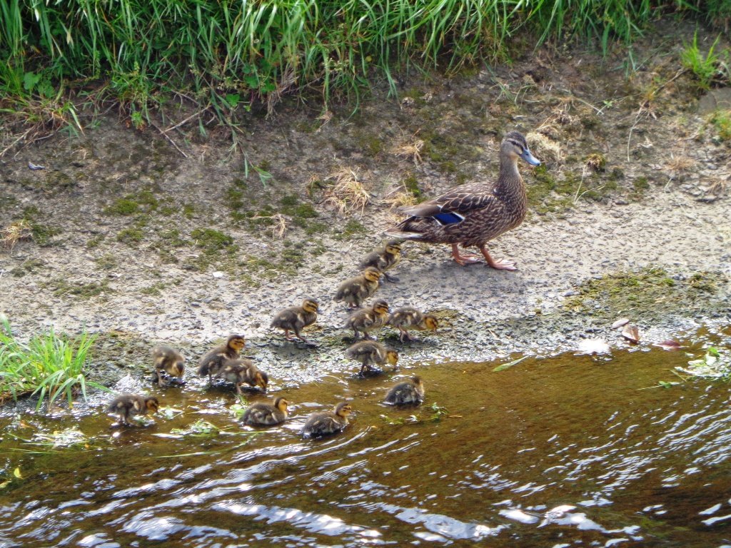
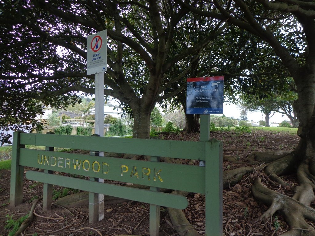
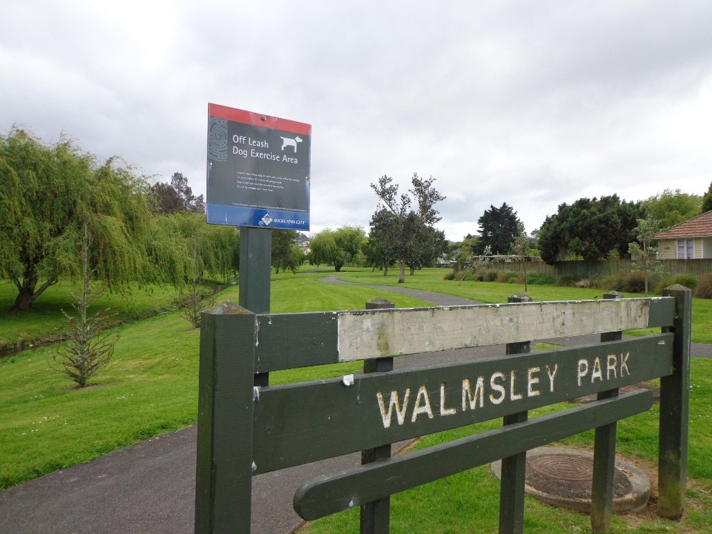
Our flat walk (if you choose not to walk up to the summit of Mt Roskill) links up three reserves – War Memorial Park, Walmsley Park and Underwood Park. Take some bread to feed the ducks in Oakley Creek. The final part of the walk is at the colourful shops of Stoddard Road.
The walking route is also great for cyclists, prams/buggies and dog walkers (on leash and off leash dog exercise areas in Walmsley Park and Underwood Park.).
We stopped for a very good coffee at an almost hidden Ethiopean cafe in the Tulja Centre called Cafe Abyssinia.
9th December 2013 – a new cafe has opened at 740 Sandringham Road Extension. Give your support to a community project – the Roskill Coffee Project.
Please note: An upgrade of Oakley Creek storm-water project has been proposed by the Local Board. If it goes ahead, there will be some disruption along this route within Walmsley and Underwood Parks from 2016. Read about it here.
Description: Mostly level paths, steep paths ascent to summit of Mt Roskill. Suitable for most ages and levels of fitness and mobility, designed with flat shoes or running shoes in mind. Suitable for wheelchairs and pushchairs if Mt Roskill summit is avoided.
To see: Views of Auckland City skyline, Mt Albert, Mt Eden, Three Kings, One Tree Hill. Oakley Creek and ducks. Time: approx. 90 minutes (about 7.5 kms). Start: Corner of Sandringham Road extension/Stoddard Road. MAP
The Blockhouse Bay Tiriwa walk in Auckland follows the high cliff edge alongside Manukau Harbour to Green Bay Beach and then continues inland to Craigavon Park.
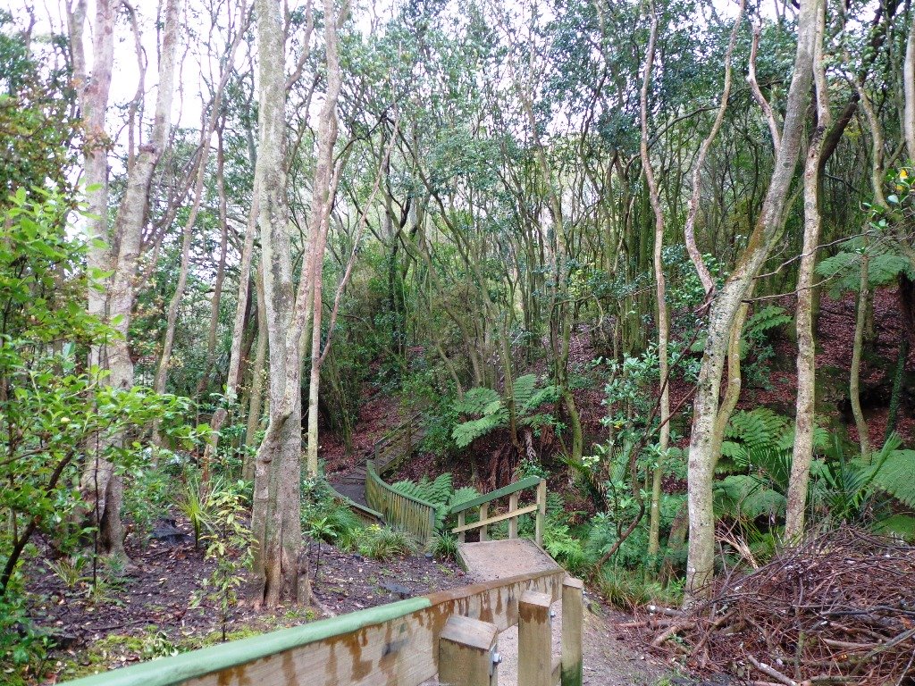
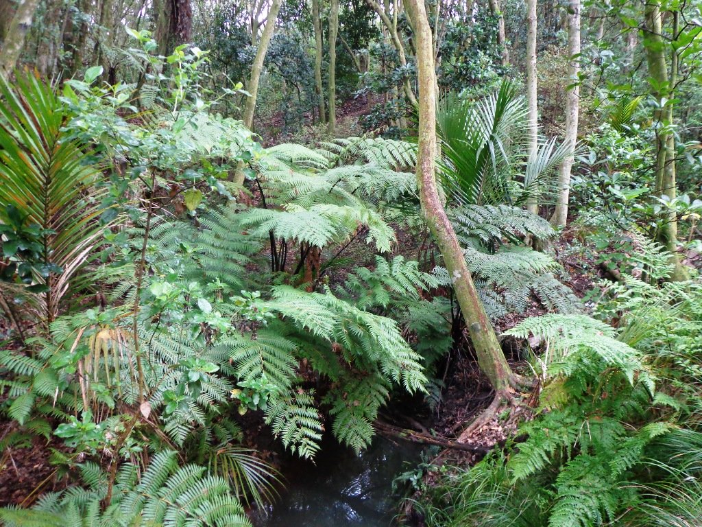
This is another newly discovered gem for us. The Pathway of Tiriwa (Te Ara O Tiriwa) is named after a Maori chief who lived in the area pre-canoe days. The pathway takes you through Punga ferns and mature Puriri trees. Native pigeons feed here in summer months.
There are steep steps down and up the small gullies along the pathway, and the track was muddy today but not too bad (best to walk in dry weather).
We stopped for refreshments at the newly opened The Block cafe in the main street of Blockhouse Bay. What a wonderful “buzzy” community friendly place – and the menu looked mouth watering. The brunch plates that were being served looked generous.
This walk also includes children’s playgrounds, picnic spots with BBQ’s, a fitness trail, public toilets – and hungry ducks to feed.
Description: Bush track, steps, inclines. Muddy in places when wet. Suitable for users of average fitness and mobility. To see: Native bush, views across Manukau Harbour, native birds Time: approx. 60 minutes. (about 5.0 kms). Parking: Blockhouse Bay Reserve Buses: Blockhouse Bay Road MAP
The views across to Blockhouse Bay and Manukau Heads in the far distance along the Lynfield coastal walk this morning, were spectacular! The sun was shining, the sky was clear and the tide (check here for tide times) was almost full.
This was an explore walk for us – trying to work out the best circular route without too much street walking. The route has a few steep ups and downs, which makes it a good workout. We met some people who were walking their dog off leash along the reserve.
Description: Bush track, steps, inclines. Muddy in places when wet. Suitable for users of average fitness and mobility. To see: Native bush, views across Manukau Harbour, native birds. Time: approx. 45 minutes. (about 3.75 kms). One small children’s playground. Dog friendly off-leash in Manukau Domain (alongside the Lynfield Cove Walkway). Parking: Himalaya Crescent, Lynfield. Buses: Halsey Drive, Lynfield MAP
This Westmere Loop walk explores the gems of Wellpark Reserve and Jaggers Bush Reserve beside the creek, and touches on the harbour edge at Westmere Park and the end of Garnet Road. It is interesting to observe the varied style of housing. At low tide it is easy to take a short cut alongside the harbour.
Despite the grey clouds and the rain forecast, we set off to explore the streets and reserves of Westmere, starting from the fabulous community-mindedGarnet Station Cafein Garnet Road.
Description: Bush track, steps, inclines. Muddy in places when wet. Suitable for users of average fitness and mobility. To see: Native bush, views across Auckland Harbour, native birds. Time: approx. 75 minutes. (about 5.5 kms). Dog friendly (off-leash in Jaggers Bush Reserve). Parking: Garnet Road, Westmere. Buses: Warwick Avenue, Westmere MAP
It was time to visit the newly opened (15th June 2013) Cox’s Bay Reserve boardwalk and to incorporate it into another circular walk to add to our collection.
This walk explores both Cox’s Bay Reserve and Grey Lynn Park. Cox’s Bay Reserve is made up of three parks – Hukanui Reserve where the new boardwalk is, Bayfield Park where you may wish to have your picnic, and the sports fields of Cox’s Bay Park. It is a mini-paradise for dog owners with off-leash dog exercise areas.
And it is family friendly too, with a selection of children’s playgrounds and picnic sites. It is a great place for joggers and people who like to use the outdoor fitness stations.
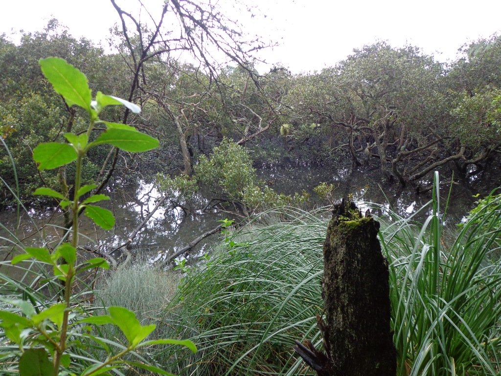
The wide open spaces, sculptures, playing fields, the creek, mangrove swamps, gullies, the bay itself, a field with cattle and tall mature trees surrounded by interesting residential housing, make this another walk that is full of variety.
Also of interest is the Kelmarna Gardens Nature Trail off Hukanui Crescent – A self-directed nature trail will show you chickens, vegetable gardens, a pony and young cattle, an organic orchard, beehives, worm farm, compost making, native trees and flax. The trail winds its way through the gardens, across paddocks and links to Cox’s Creek Walkway. The gardens were established in 1981 and have been organically managed for 32 years. The land is owned by Auckland Council for the benefit of the whole community.
Dogs – Off leash exercise areas in Cox’s Bay Reserve and Grey Lynn Park (check signage for rules).
Description: Paved walkways, steps, inclines and board walks. Suitable for users of average fitness and mobility. (Suitable for prams/buggies excluding the steps). To see: Sculptures, playing fields, the creek, mangrove swamps, gullies, the bay itself, a field with cattle and tall mature trees surrounded by interesting residential housing. Time: approx. 70 minutes. (about 5.58 kms) Parking: Westmoreland Street West off Richmond Road, Grey Lynn. Buses: Richmond Road, Grey Lynn MAP Children’s playgrounds. Off-leash dog exercise areas in in Grey Lynn Park and Cox’s Bay Reserve (please read the signs). Cafe: Bread and Butter
Stay on track…get your detailed guide and map over at our Walks Store (AC-081 Grey Lynn Explorer) and our Book Store (one of 12 walks featured in our book “Dog Friendly Walks part 3”).
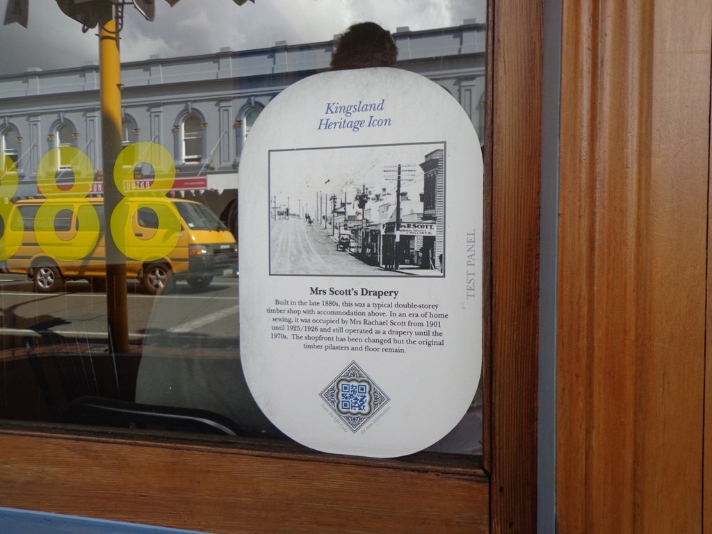
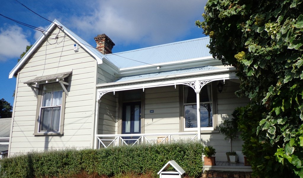
This Auckland walk takes you from Kingsland Train Station (with views of Mt Albert), touches the city end of Dominion Road, Eden Quarter, and through the suburban streets of Mt Eden, to Mt Eden Village and return.
You can enjoy the tree lined footpaths and beautiful old homes. And this walk makes it very apparent that Eden Park is really in Kingsland.
You can choose to take your time and stop at various shopping precints along the route or do the 90 minute walk in one gulp!
Description: Mainly level paths and steps. Suitable for users of average fitness and mobility. To see: Kingsland, Dominion Road, Mt Eden Shops; residential homes Time: approx. 90 minutes. (about 7.0 kms). Dogs on-leash. One small children’s playground. Start: Kingsland Train Station MAP
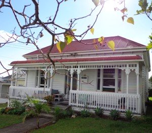
Today we explored a walk that we have driven past many times on the North Western Motorway. This short walk in central Auckland starts off at Kingsland Railway Station, and explores the shops, residential streets, reserve and park in the local area (and like all of our circular Auckland walks – you may choose to start from other places along the route).
Kingsland is full of character with interesting olde worlde shops, cafes, bars and pubs which were a great feature for the 2011 Rugby Word Cup. Sitting in the cafe, you could imagine that you had gone back in time. Our retail discovery was a Made in New Zealand shop called Mixt Art & Design which has some very unique products.
Description: A mix of level and steep paths. Suitable for users of average fitness and mobility. To see: Kingsland Shops, cottage style homes, bush track Time: approx. 60 minutes. (about 5.0 kms) Parking: Off new North Road Start: Kingsland Railway Station MAP