Tag Archives: Mangroves

Le Roys Bush Loop

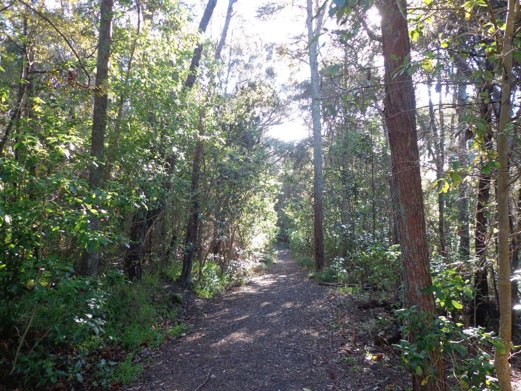
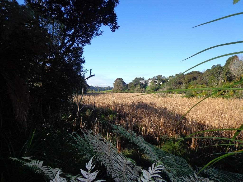
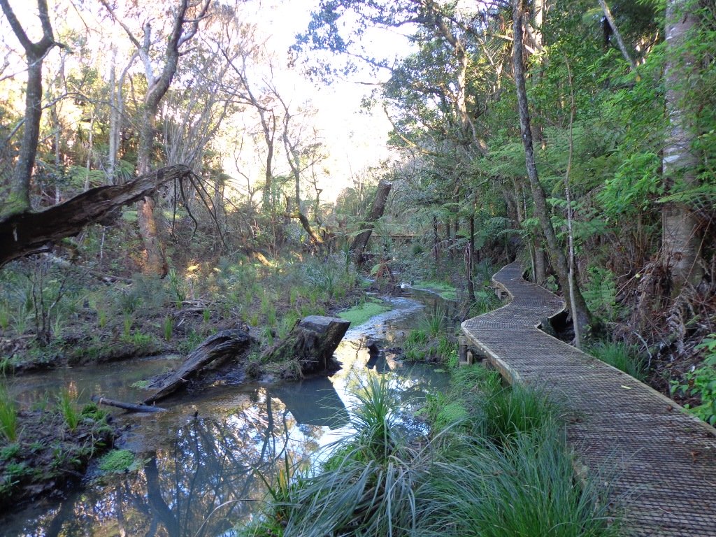
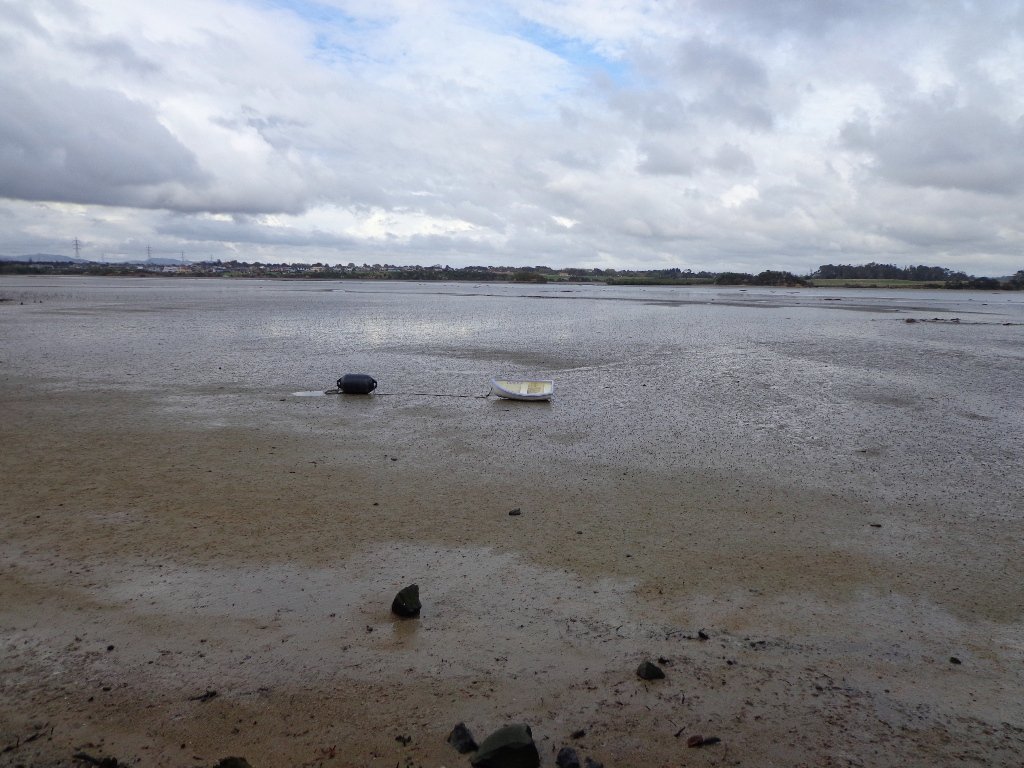
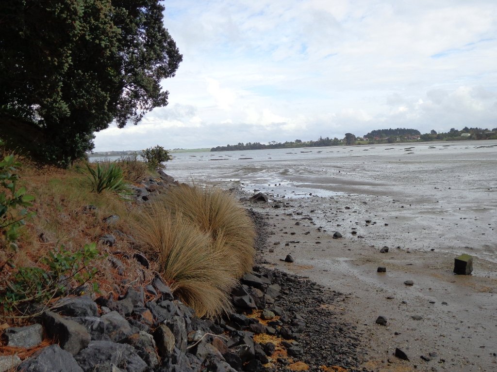
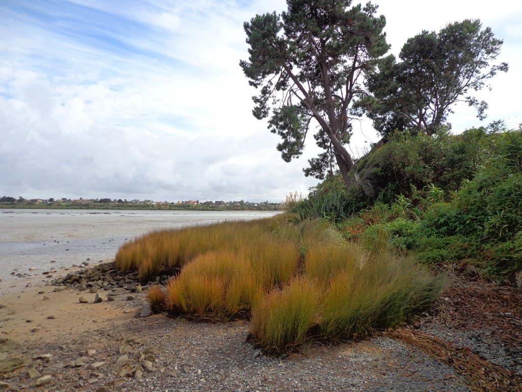
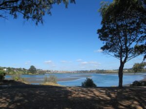
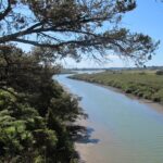
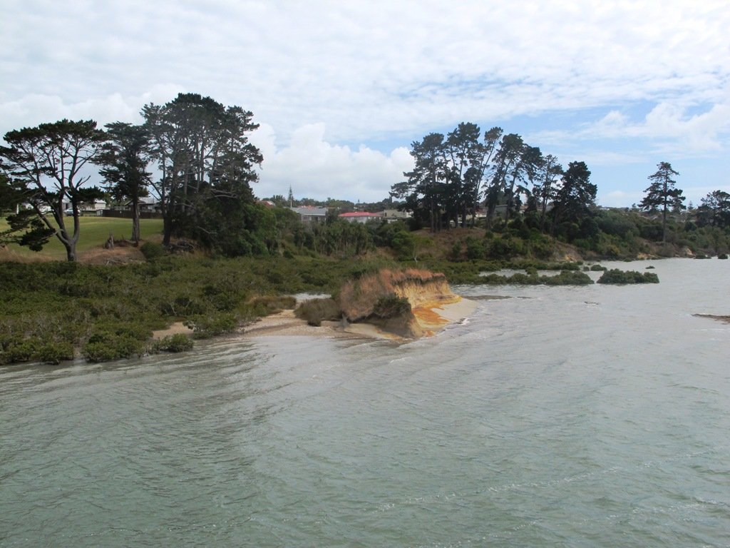
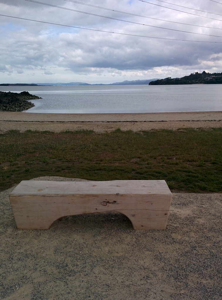
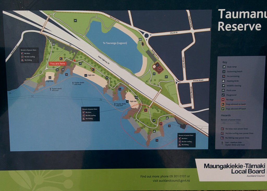
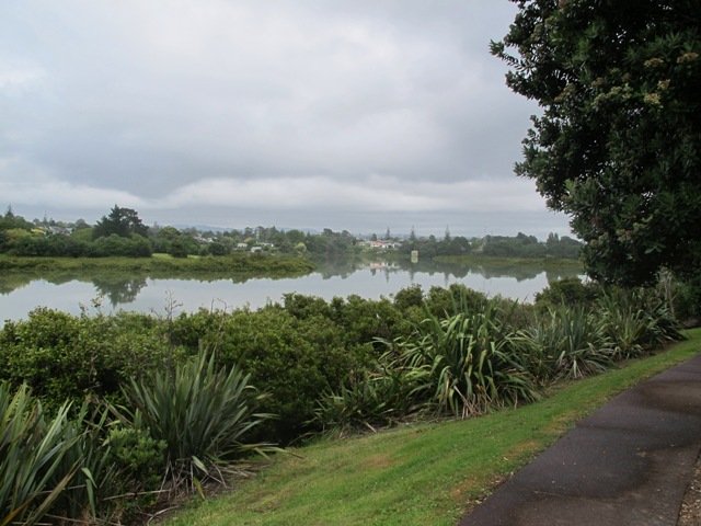
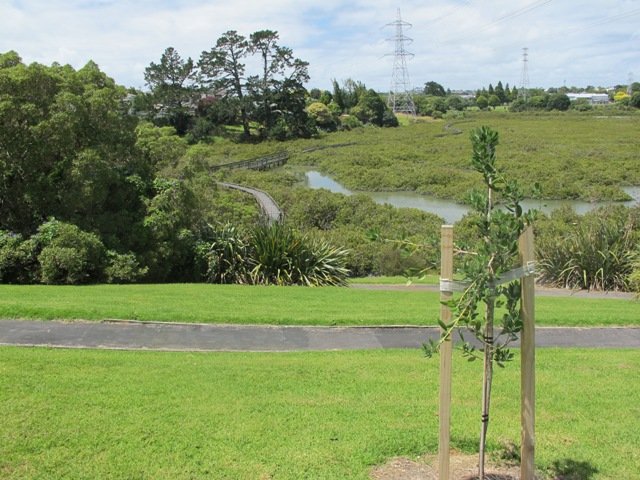
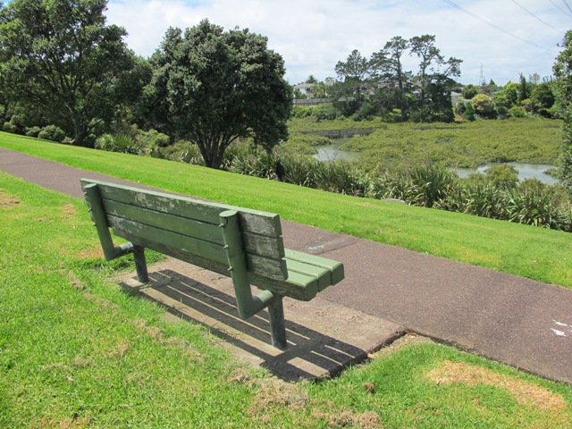
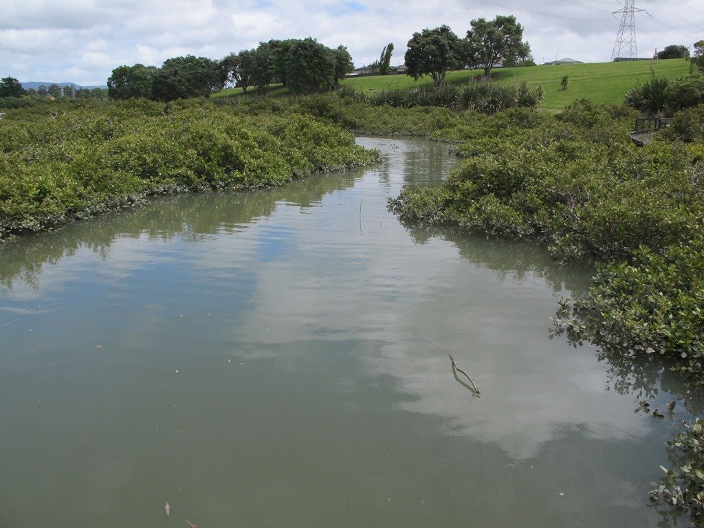
Saying that you are going for a walk in the bush in urban Auckland, may sound like an oxymoron…however, that is one of the many wonderful aspects of walking in Auckland – you never have to go far to find native bush. Kauri Glen Reserve lives up to it’s name and Le Roys Bush follows a stream downhill to the restored wetlands of Little Shoal Bay, Northcote (which was once a tidal estuary filled with mangroves).

Little Shoal Bay © 2011-2013 Unleashed Ventures Limited

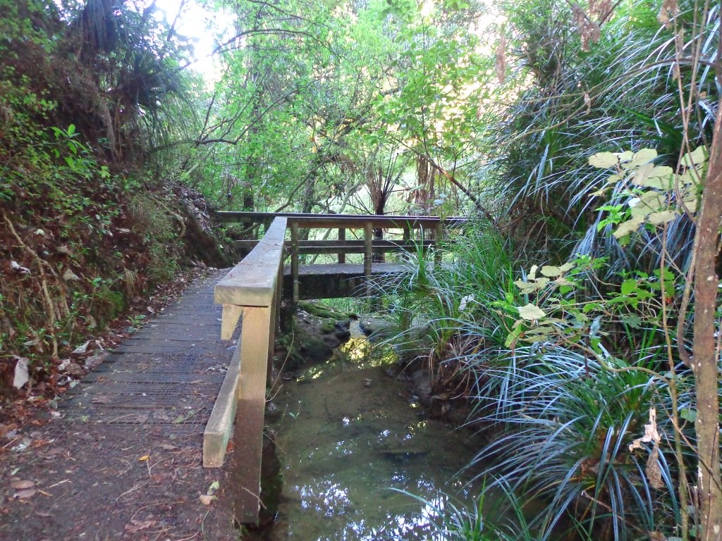
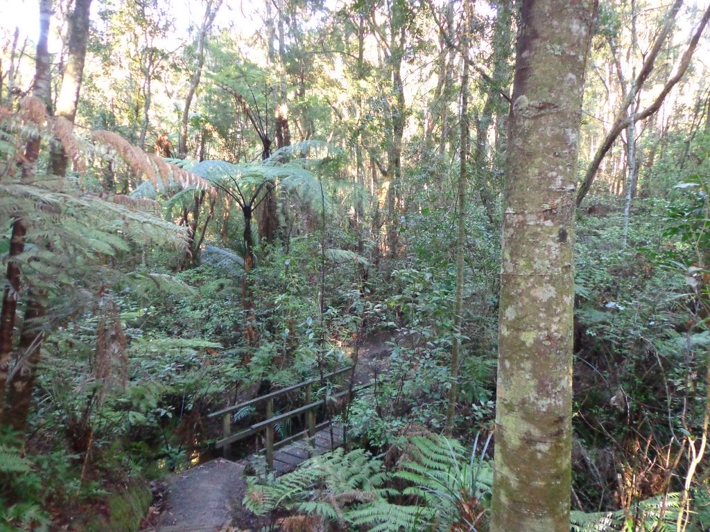
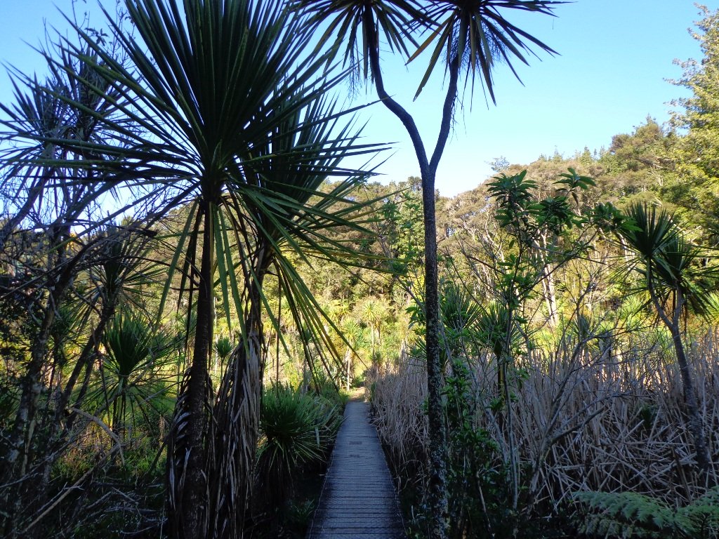
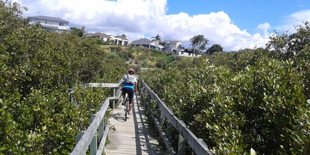
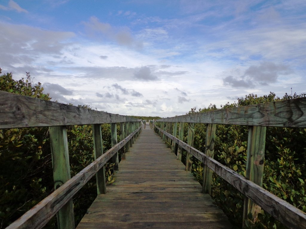
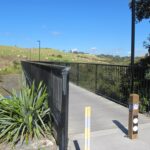
This morning the sun was out (as well as the tide!), which made it a very pleasant and warm winter’s day.  Some of the smaller tracks are wet, muddy and slippery so if that doesn’t fit with you, then I suggest that you save them for a summer walk. The loop walk we have documented keeps you on the drier paths and boardwalks.

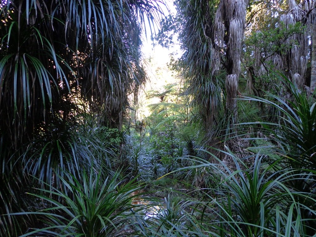
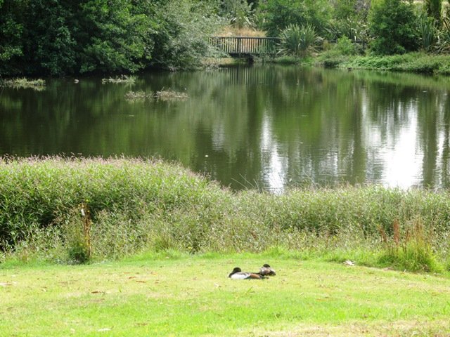
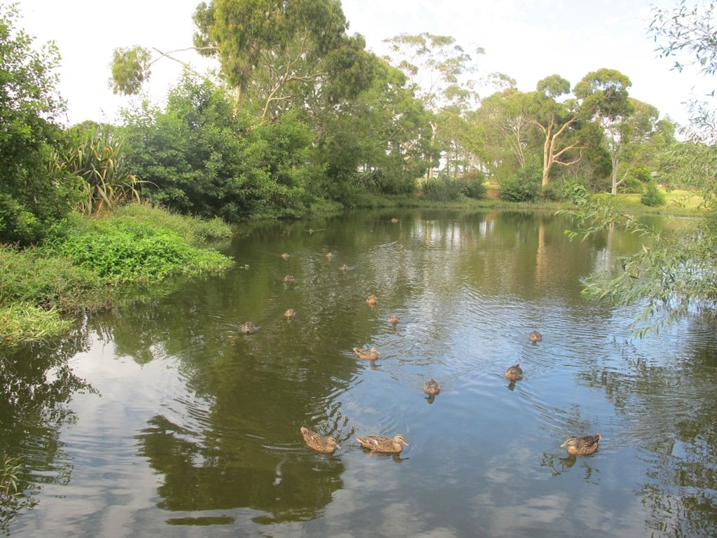
We were rewarded with sunlight filtering through the native trees, the sound of the bubbling stream and the songs of the native birds – we could have been deep in the bush instead of in the middle of urban residences!

  • Free Map for your smartphone – go to the new prototype site:  Le Roys Bush Walks [22Nov2015]

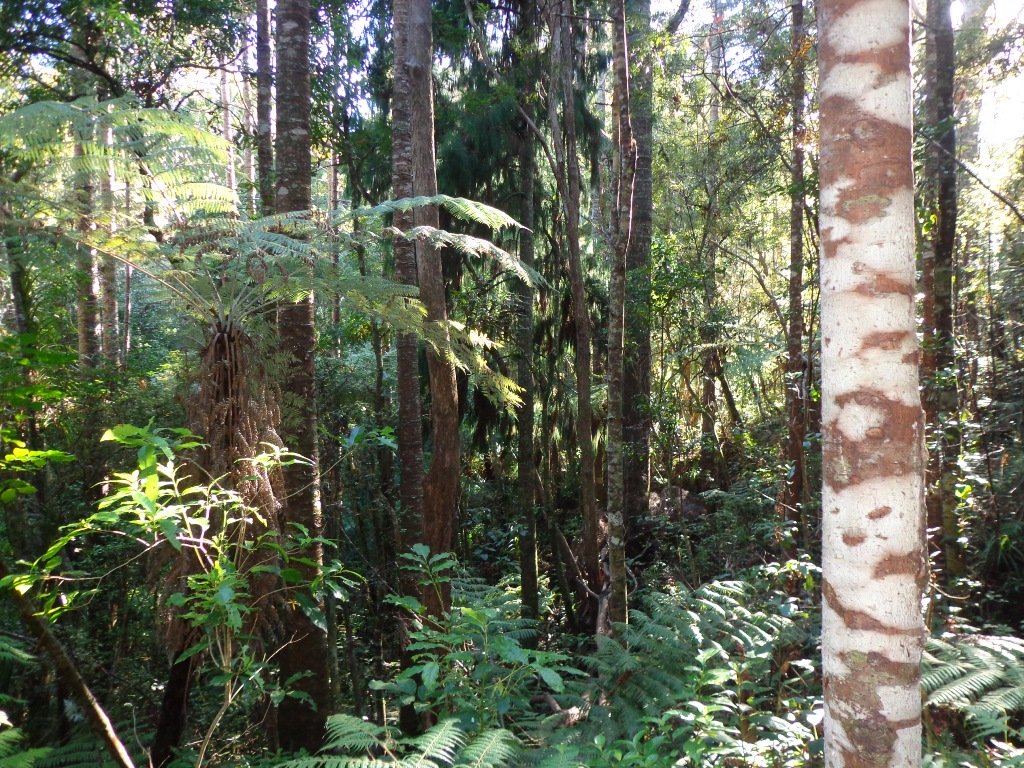
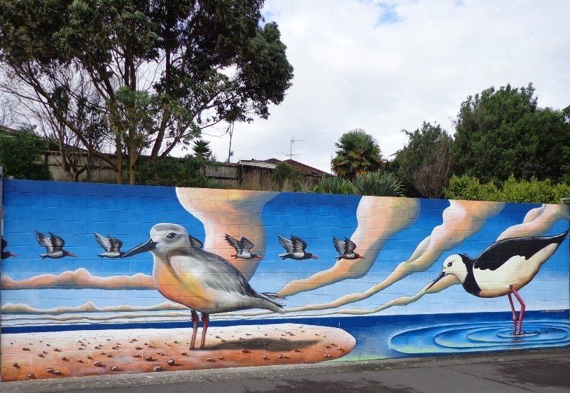
Kauri Glen is one of the oldest bush reserves on the Shore (measures about 25 acres and first sizeable pieces of land that was placed under public management) which includes trees such as taraire, totara, kauri, tawa, rewarewa and maire. Kiekie and nikau are abundant in this sub-tropical rainforest. Smaller species of note are pate and karapapa. The area is alive with the likes of tui, fantails and moreporks.

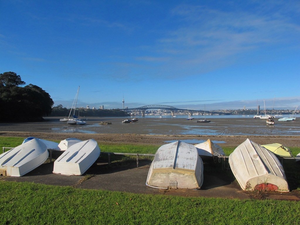
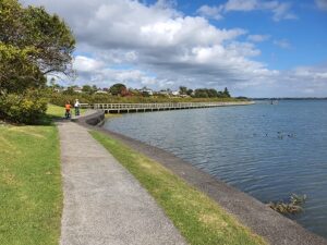
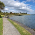
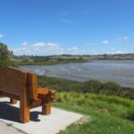
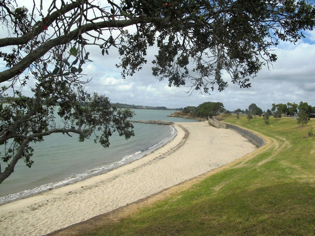
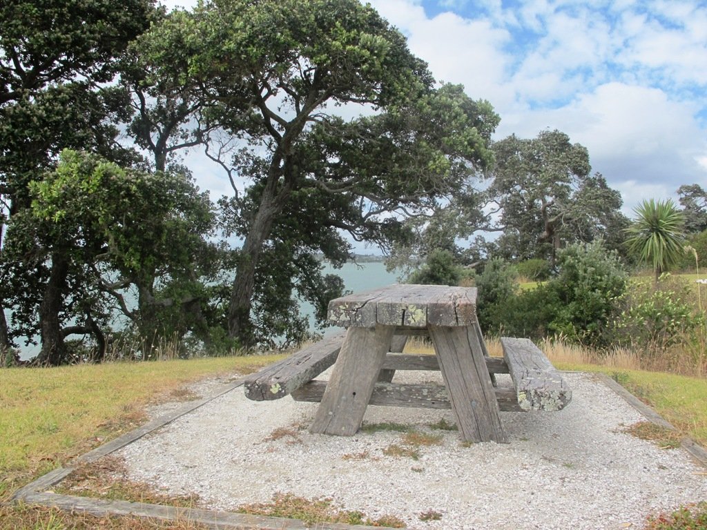
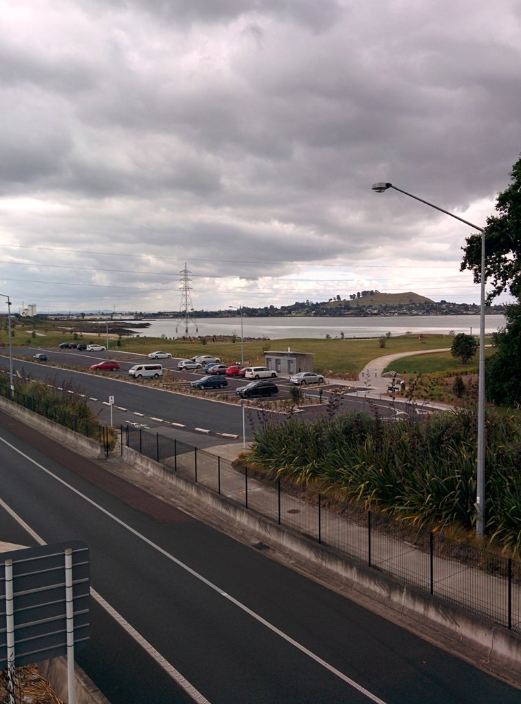
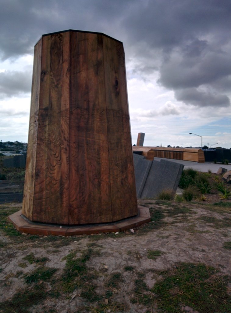
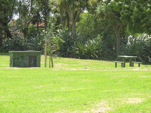
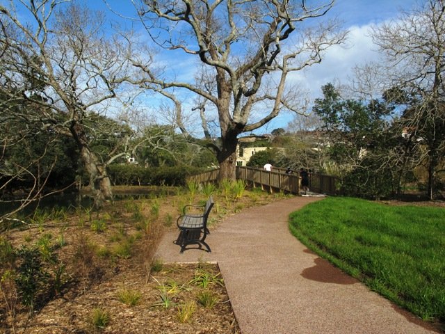
Little Shoal Bay Reserve is a great place to start and finish at – with plenty of parking and a fun looking children’s playground.  Dogs must be kept on leash to protect the flora and fauna.

Alternatively you could begin your walk at Birkenhead. A new track has been constructed (September 2016) from 31-45 Birkenhead Avenue. Called the Maori Pipi Walk.

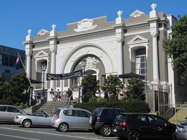
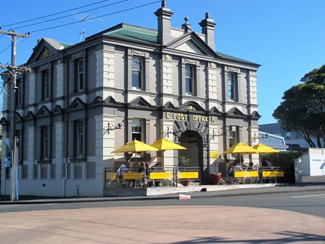
You could pop into the Northcote Tavern  for lunch, coffee or a beer afterwards – full of character and nice ambience. Or stop at Sausalito Cafe.

****************************************************************
Please protect our Kauri.  Clean ALL dirt off your shoes and dogs feet BEFORE you arrive. Spray feet on entering and leaving. Dogs on leash at all times. Keep to the tracks. Enjoy your walk. 
Join Le Roys Bush on Facebook.

***Please note: September 2018 This track has been temporarily closed due to Kauri Dieback
****************************************************************
Description: Bush track and board walks. Slippery when wet. Suitable for users of average fitness and mobility.
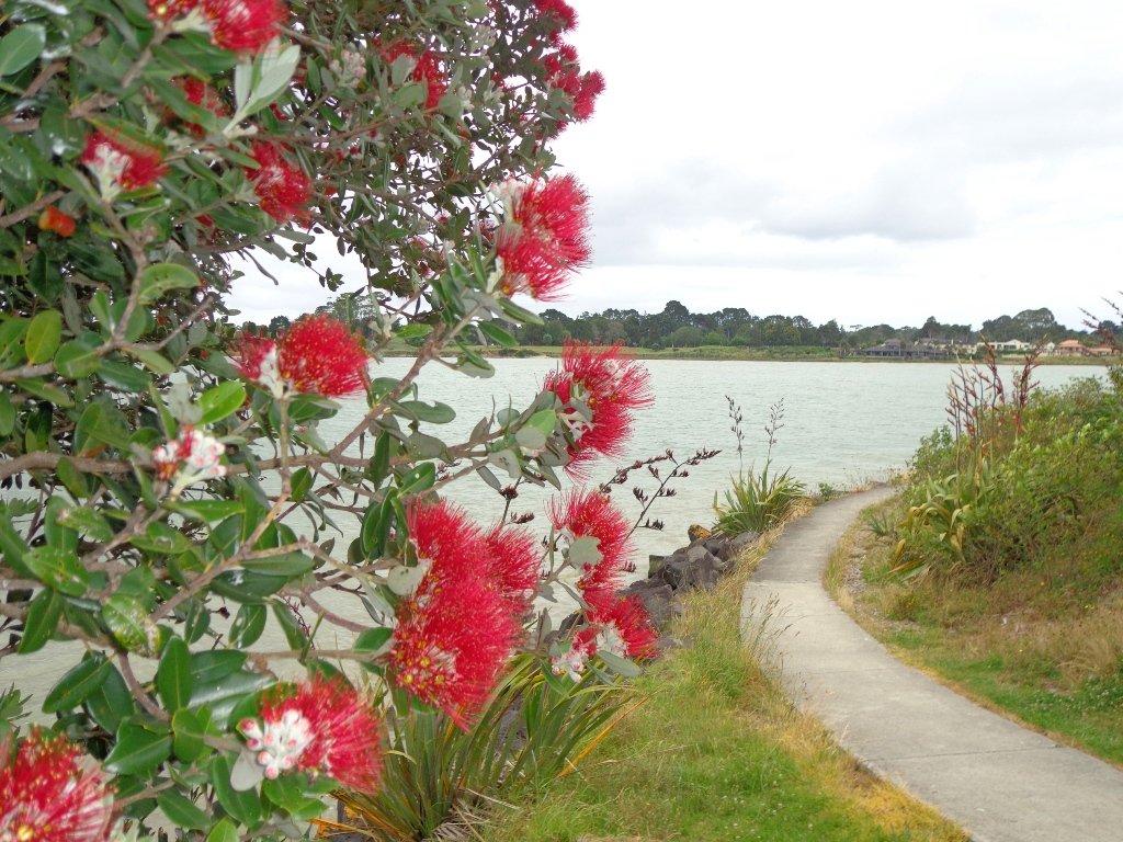
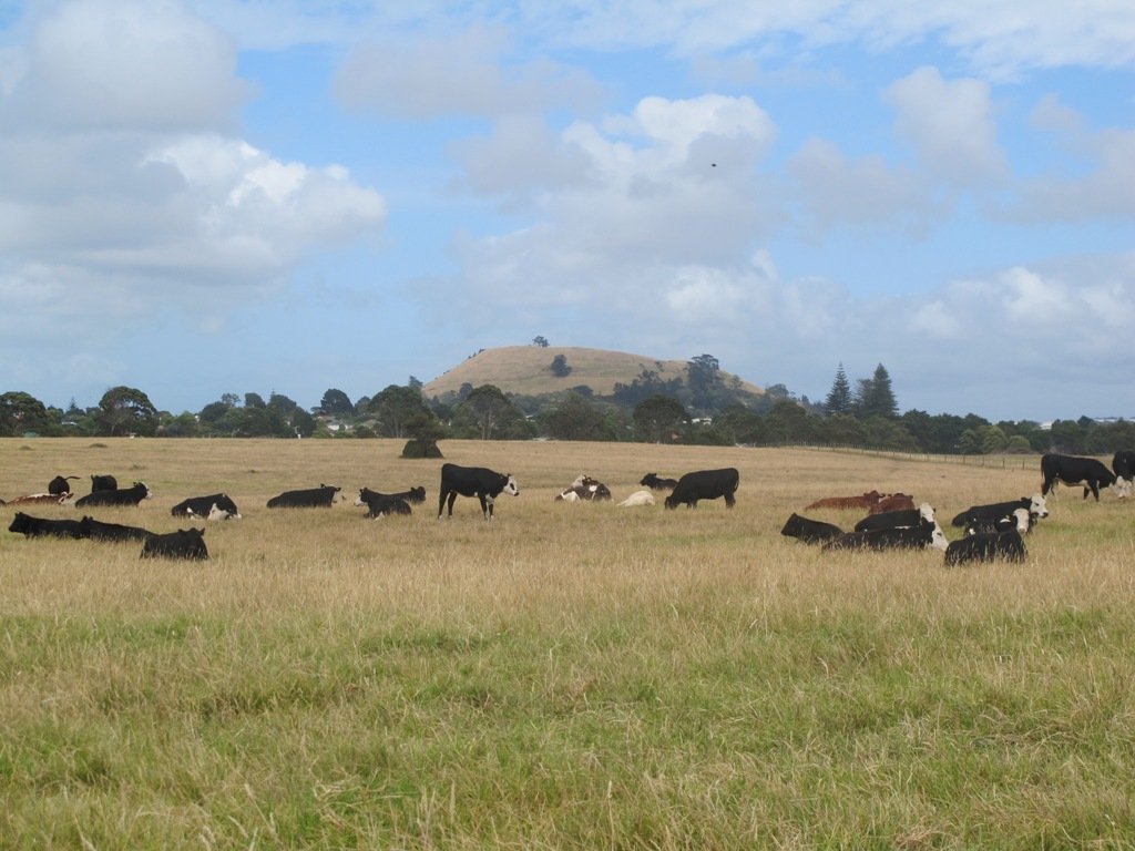
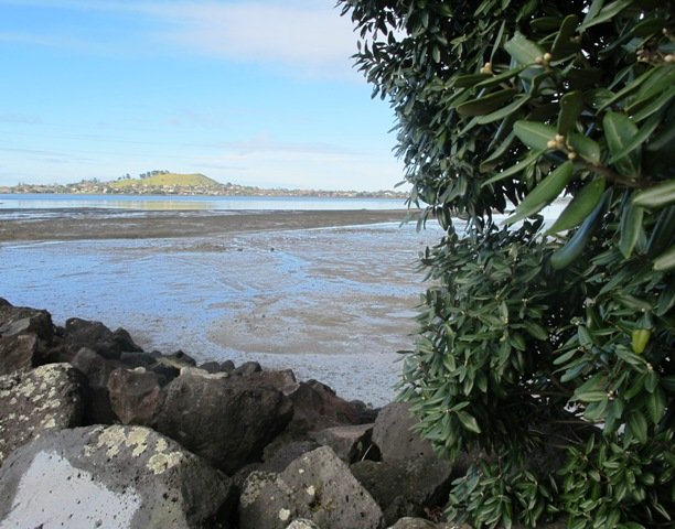
To see: Native bush, waterfall, wetlands, views across Auckland Harbour, native birds.
Time: approx. 60 minutes. (about 5.0 kms)
Parking: Little Shoal Bay Reserve
Buses/Ferries: Queen Street, Onewa Road, Northcote MAP

Stay on track…get your detailed guide and map  (AN-079 Le Roys Bush Loop) over at our Walks Store and our Book Store (one of 12 walks featured in our books “Urban Bush” and “Dog Friendly Walks part 2”).

Conifer Grove Circuit

Conifer Grove Circuit © 2013 Unleashed Ventures Limited. All rights reserved

The walk along Conifer Grove Esplanade offers views across Manukau Harbour north to Wattle Downs and south to Karaka.

We met friendly chatty people along the shared walkway/cyclway, many with dogs and children in tow (there is a good selection of children’s playgrounds in the reserves).

Conifer Grove Walkway
Conifer Grove Walkway and Water

Link to open Google Map in a separate tab or tap the icon in top right of this map.

Download a printable version of the Conifer Grove Walkway Printable Google Map.

More information: My Auckland: Conifer Grove
The boardwalk through the mangroves provides a mini adventure for young children (but do keep an eye on them – one child’s scooter took a flying leap into the mud when we were there; luckily the tide was out!).

Suitable for family cycling – Brylee Drive Reserve, Takinini, 6km of shared paths.

Description: Mainly level paths, some steps. Suitable for users of average fitness and mobility.
To see: Manukau Harbour views, mangroves, residential homes and gardens
Time: approx. 60 minutes. (about 4.55 kms)
Start: Walter Strevens Drive, Conifer Grove  MAP

Stay on track…get your detailed guide and map (AS-069 Conifer Grove Circuit) over at our Walks Store and our Book Store (one of 12 walks featured in our books “Coastal part 2” and “Best of the South”).

Orewa Te Ara Tahuna shared path

Today we headed north out of Auckland to Orewa to walk around the Te Ara Tahuna shared path.  This cycleway/walkway encircles the Orewa Estuary for a distance of 7.58km.  It took us 1 hour and 45 minutes to walk it at a leisurely pace.

The tide was going out as we walked around anti-clockwise.  It is a diverse walk, starting from the car park by the Estuary Arts CentreMAP

Orewa Estuary

We walked past beautiful houses and gardens set along the path, crossed bridges, walked on the edge of farmland with picturesque bales of hay and past mangroves – arriving back to the view of the ocean along the Hibiscus Coast Highway.

Look out for all the different wetland birdlife. You will also see kauri trees, pohutukawa trees, cabbage trees and flax. There are picnic tables available at the Orewa end, as well as a skate park.  Benches provide views of the estuary and take the time to admire the beautifully carved wooden seats (six in total as of today’s date).

The cycleway is ideal for families with children who are competent cyclists.  The pathway is a mix of concrete, bitumen and loose gravel.  Be sure to have snacks and drinks with you to keep up the energy levels. And if the weather is appropriate, take beach gear for a refreshing swim afterwards.

There are now public toilets at MetroPark in Millwater (about halfway round) and a coffee lounge,dairy and other shops at the Millwater Parkway shops.

We stopped off at Olivers for a delicious lunch accompanied by a wonderful musician.

Download the Auckland Transport Te Ara Tahuna Estuary Map or pick up a free map from the Orewa Citizens Advice Bureau.

Point England Walk

Point England Reserve

We are not familiar with the Tamaki and Glen Innes area, so today was our first walk and explore. And we discovered beautiful Point England Reserve.  What a gem! We had no idea that there was a sandy beach here.

This walk offers great views of East Auckland and the Waitemata harbour and as the walkway passes through bush, mangroves and farmland. This route is a part of the 7.5km  Point to Point Walkway.

The walking route is also great for prams/buggies and dog walkers (on leash only).

The lack of rainfall has made the Omaru River smelly, so we do hope that will improve when it next rains.  Part of the path is in great need of maintenance.  We wonder if the local schools could adopt part of the walkway and learn how to maintain and enhance the bush and stream??? (The Omaru River is an outlet of Orakei Basin and runs underneath Meadowbank to Apirana Ave, through Maybury Reserve and out to Wai O Taiki Bay).
Update: a project was kicked off in June 2013. Read: Youth keen to save river

Description: Mostly level paths. Suitable for users of average fitness and mobility. (Take bread to feed the ducks)
To see: Estuary views, boats, wetlands, mangroves, residential housing, view of two volcanoes – Mt Wellington and One Tree Hill, Point England Reserve, Maybury Reserve feijoa trees
Time approx. 80 minutes. (about 7.0 kms)
Start: Glen Innes Train Station (or Point England Road Reserve at end of Point England Road)  MAP
Nearby Walks: Tahuna Torea, Waiaturua Reserve

Stay on track…get your detailed guide and map over at our Walks Store  (AE-059 Point England Walk) and our Book Store (one of 12 walks featured in our books “Coastal part 2” and “Best of the East”).

Onehunga Foreshore – Taumanu

We began our walk today with a route in mind, starting off from Onehunga Train Station. But as we progressed we changed our mind and found a walk that neither of us had done before, taking in part of Onehunga’s foreshore (as of November 2015 Taumanu Reserve).

View of Mangere Mountain from Onehunga Foreshore. The Foreshore has since been turned into Taumanu Reserve.

The walk follows the edge of the Onehunga Bay Reserve and then the edge of Manukau Harbour along Orpheus Drive. In summer, I would expect to see more shore birds. Even though the walk passes through part of the industrial area of Onehunga, it is still interesting.

This mostly flat walk can be accessed from Mangere Village also.

Onehunga Bay Reserve has a great wide open space (off leash dog exercise area) for dogs to run around in, and, at high tide, a lagoon to swim in. At low tide it is an esturine mud flat full of stinky, black mud (gumboots required in winter/after rain in the reserve itself). Cycle paths and a children’s playground included.

UPDATE 2013/2014:
Auckland Council is “currently restoring the foreshore next to Orpheus Drive to bring back a natural coastal edge and create recreational opportunities for the community. The project will provide high-quality open space, beaches, a boat ramp and picnic areas. A new bridge will connect the new land to the Onehunga lagoon.” (source www.aucklandcouncil.govt.nz)
Video: Secrets of New Zealand’s new $28m beach

To see: views of Mangere Mountain, shore birds, Onehunga Wharf, mangroves, Waikaraka cemetery, industrial area, reclaimed beach at Taumanu Reserve.
Time : approx. 60 minutes. (about 5.77 kms)
Children’s Playgrounds: Onehunga Bay Reserve
Dogs: Off leash area in Onehunga Bay Reserve (caution: muddy after rain). Dogs not allowed within Taumanu Reserve.
Start from: Princes Street, Onehunga MAP

Coastal walks in Auckland part two

We stopped off at The Library Cafe for refreshments. There is a Columbus Cafe on the corner of Onehunga Mall and Princes Street.

Stay on track…get your detailed guide and map over at our Walks Store  (AC-046 Onehunga Foreshore Loop) and our Book Store (one of 12 walks featured in our books “Coastal part 2” and “Dog Friendly Walks part 3”).

Avondale Whau River walk

walks in Auckland

The Avondale Whau River walkway from New Lynn, was a new discovery yesterday. The Whau River is almost full of mangroves but it does have a boardwalk going across thanks to Dawn Persson’s commitment to the Avondale Community.

This is a dog friendly walk with an off-leash exercise area and is a mostly flat walk – just one gentle rise after the boardwalk. The walking route is also suitable for prams/buggies.

You may like to pack a picnic or take advantage of the nearby New Lynn Cafes.

Description: A mix of mainly level paths and one slightly steep path. Suitable for users of average fitness and mobility. May require boots in wet weather, running shoes suitable in dry weather.
To see: Water birds, Mangroves, river views, boardwalk
Time: approx. 50 minutes. (about 6 kms)
Parking: Lynn Mall Shopping Centre Carpark

Stay on track…get your detailed guide and map (AW-030 Whau River Loop) over at our Walks Store and our Book Store (one of 12 walks featured in our books “Dog Friendly Walks part 2” and “Best of the West“).

Remuera and Hobson Bay Walkway Circuit

Walks in Auckland

I really enjoy the diversity of Auckland at large and it is also a pleasure to find a walk that contains diversity within a small area. This walk in Auckland, takes us from the ridge of Remuera Village,  down to the edge of Hobson Bay walkway, onto a boardwalk amongst the mangroves via reserves and the Remuera mansions. You really get to know a city when you walk – we miss so much when we travel by car. This walk reveals some hidden Auckland gems.

Waiata Reserve is tucked in between Victoria Avenue and Orakei Road – a beautiful large space –  this is a dog friendly walk with an off-leash area.

Walks in Auckland

Cafe Greenfingers at Palmers Garden Centre on Shore Road is a great little cafe – the coffee is very good and so is the food.

This walk is one to do if fitness is a criteria – there is a decent uphill.   It can also be done in all weathers as all the paths are paved.

Description:A mix of level and steep paths. Suitable in all weather. Suitable for most ages and levels of fitness and mobility, designed with flat shoes or running shoes in mind. Not suitable for wheelchairs.
To see: Remuera mansions, park with mature trees, character shopping street with cafes and restaurants, mangrove trees, water views, ducks.
Time: approx. 60-90 minutes depending on pace.
Start: Waiata Avenue off Victoria Avenue. MAP

Stay on track…get your detailed guide and map brochure (AC-015  Remuera to Hobson Bay) over at our Walks Store and our Book Store (one of 12 walks featured in our books “Coastal part 1” and “Dog Friendly Walks part 2”).