Tag Archives: Ids

Westhaven Loop Walk

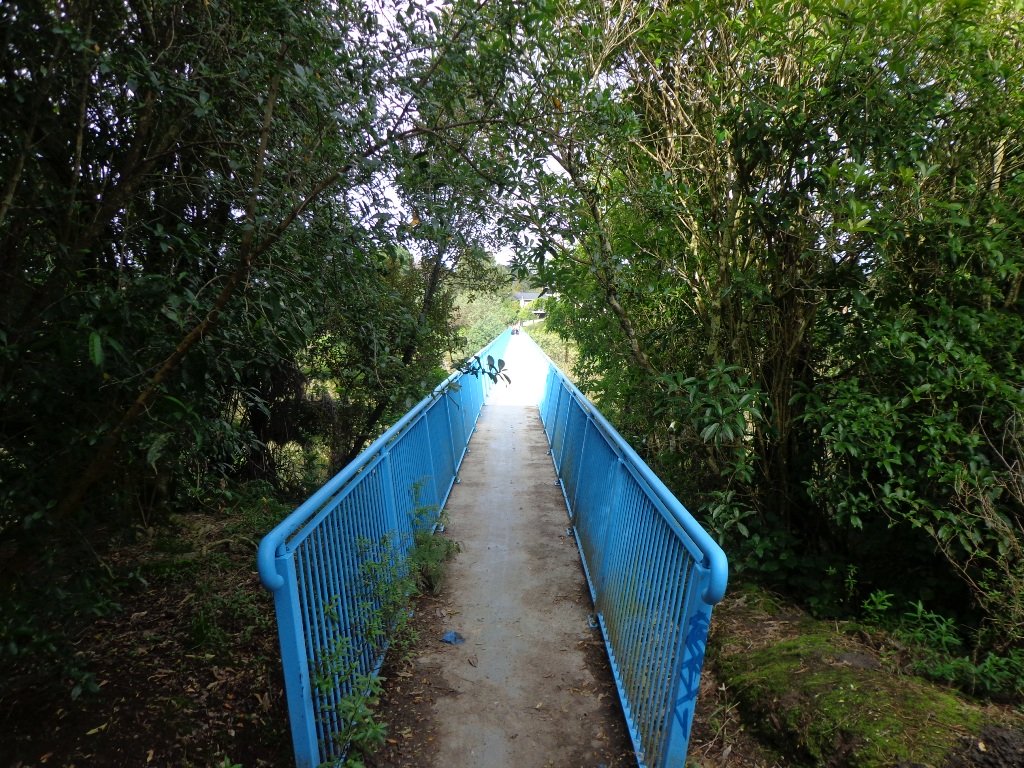
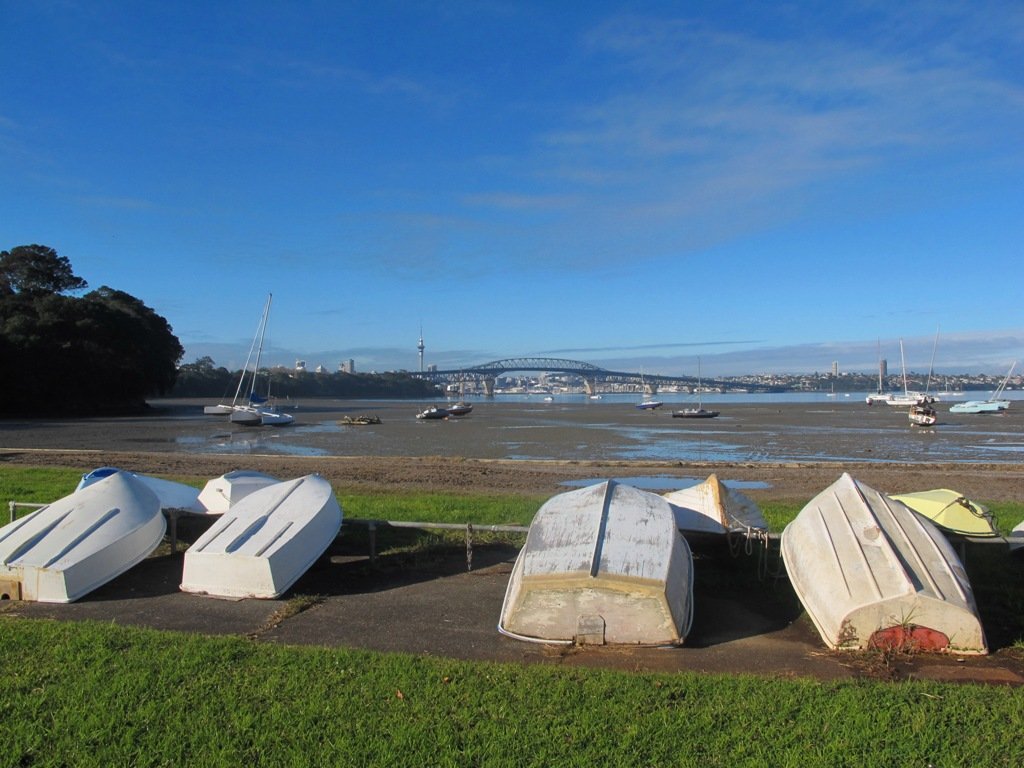
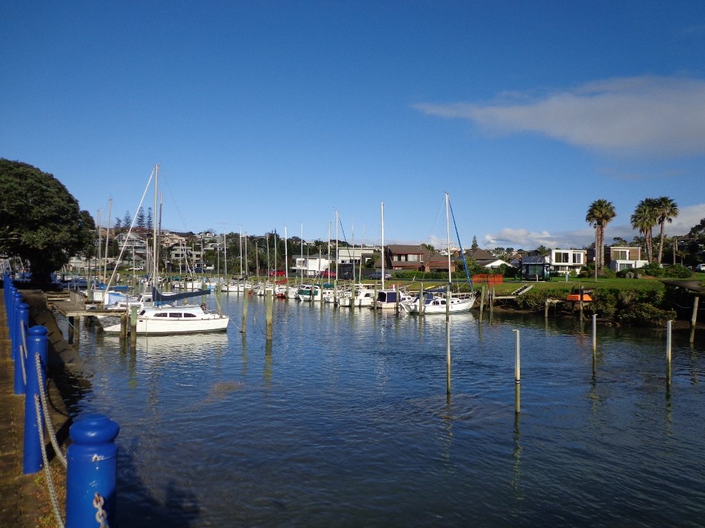
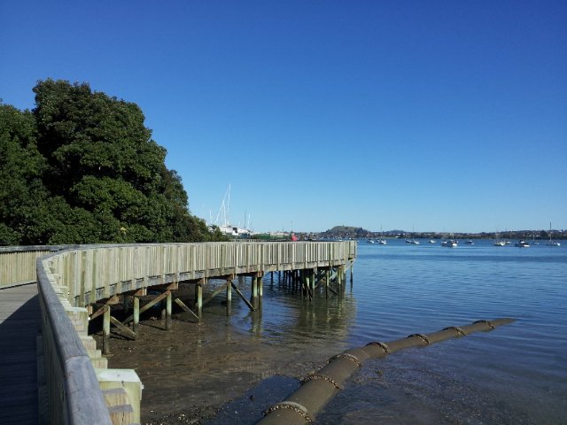
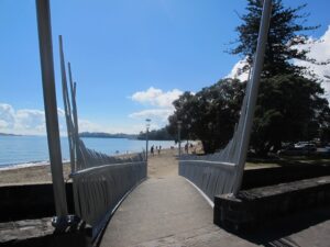
It has been a while since we have headed down to Westhaven and Point Erin Park.  We found three good reasons to make a return visit. It seemed appropriate to be down at Auckland’s waterfront while TeamNZ was enduring their second race of the competition for the America’s Cup! We had watched the new pedestrian bridge crossing the motorway from the steep steps of Jacob’s Ladder being built, but still had not traversed it.  And the dark grey clouds threatened rain and we did not want to be a long way from shelter.

Westhaven Pedestrain Bridge

And the results were…TeamNZ won their second race, the pedestrian bridge looks better when you are on it and we stayed dry!

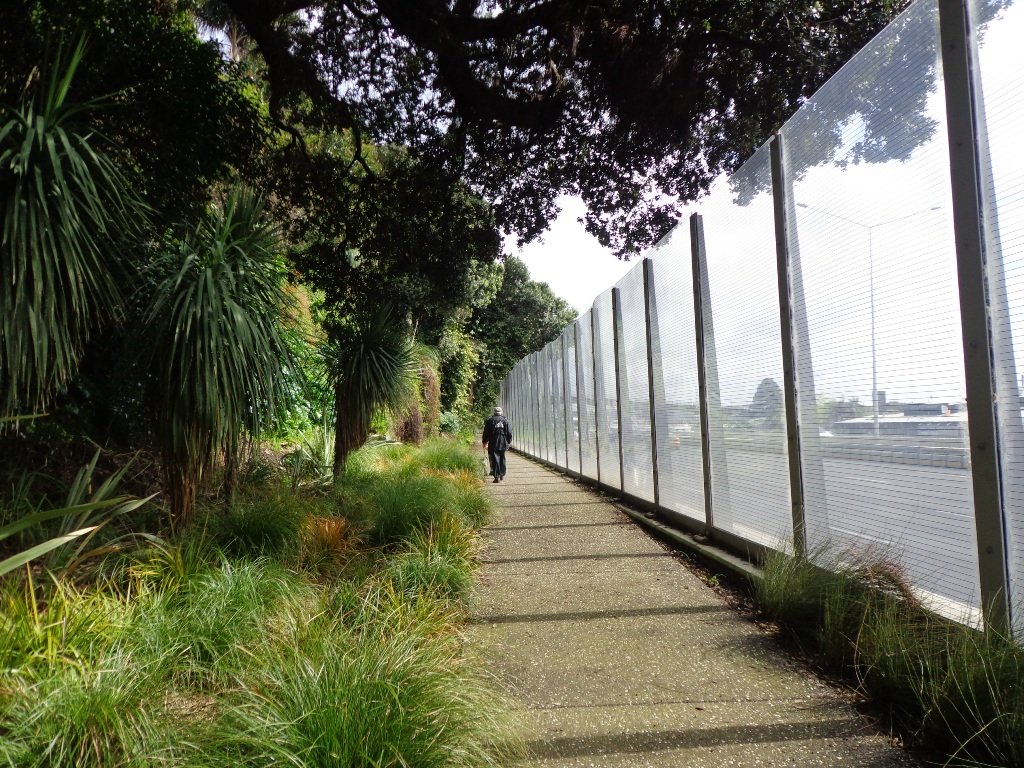
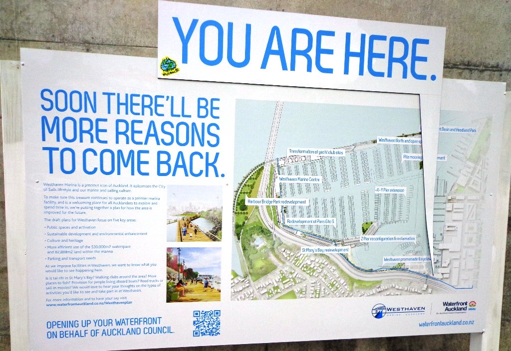
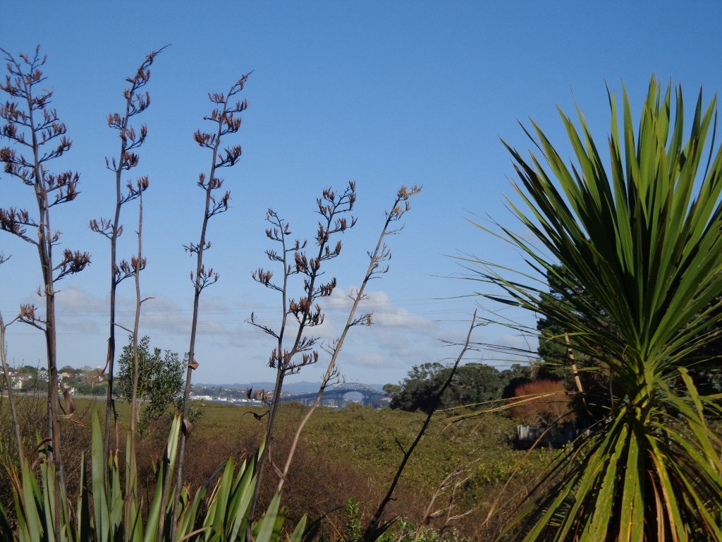
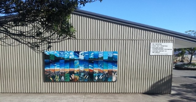
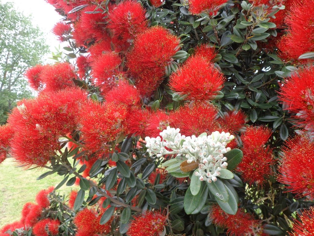
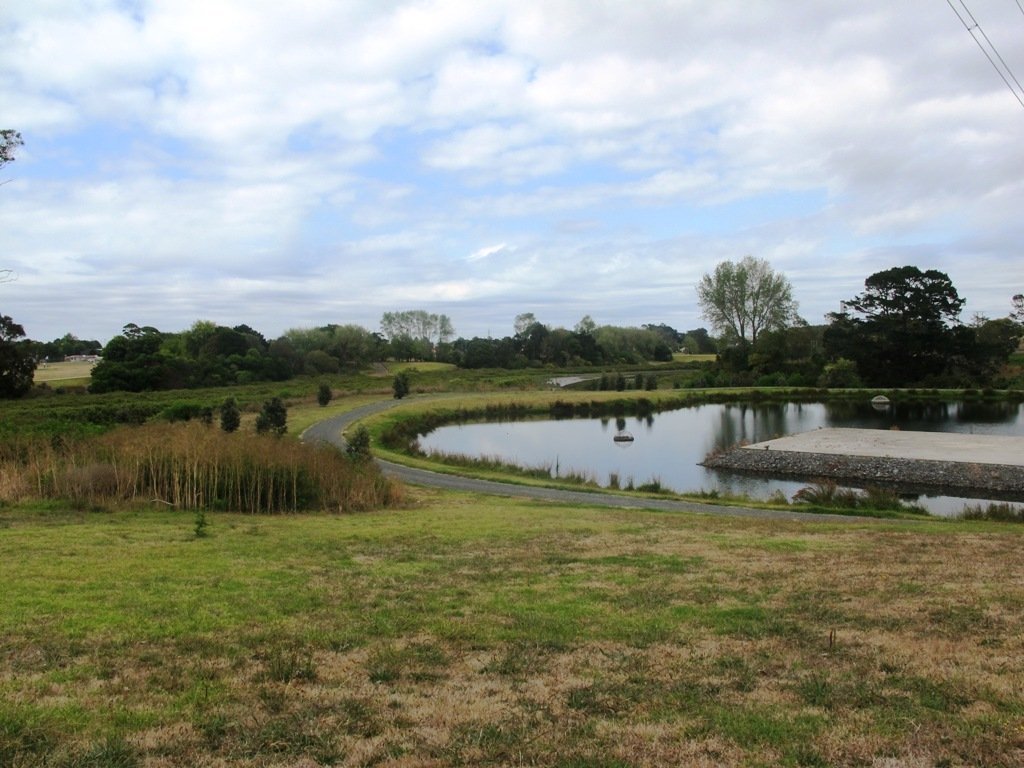
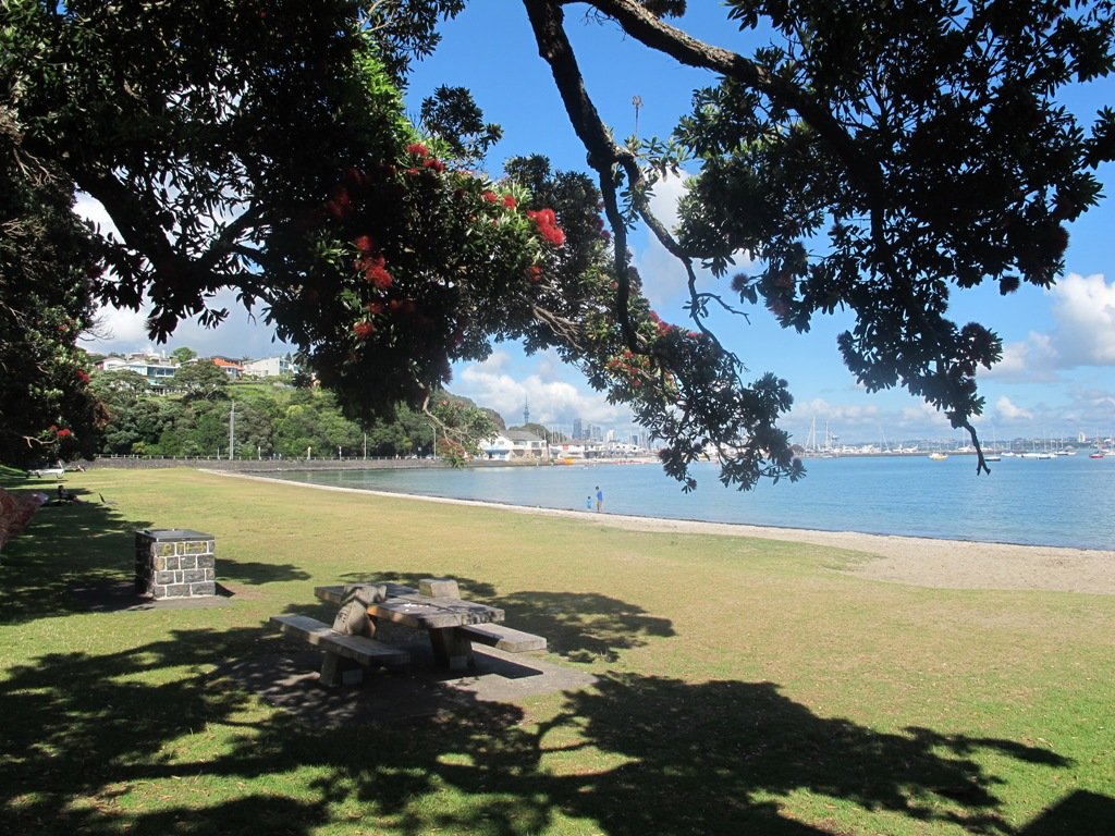
Since we last visited,  the Council has built a new pathway that runs alongside the motorway, with panels that effectively screen the motorway traffic noise. It promises to be beautiful in December when the red flowers of the pohutukawa trees are in bloom.

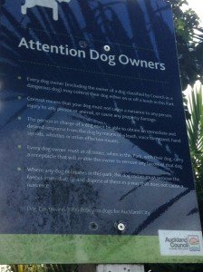
Dogs – this walk includes an off leash dog exercise area.

Westhaven Promenade - short walks in Auckland

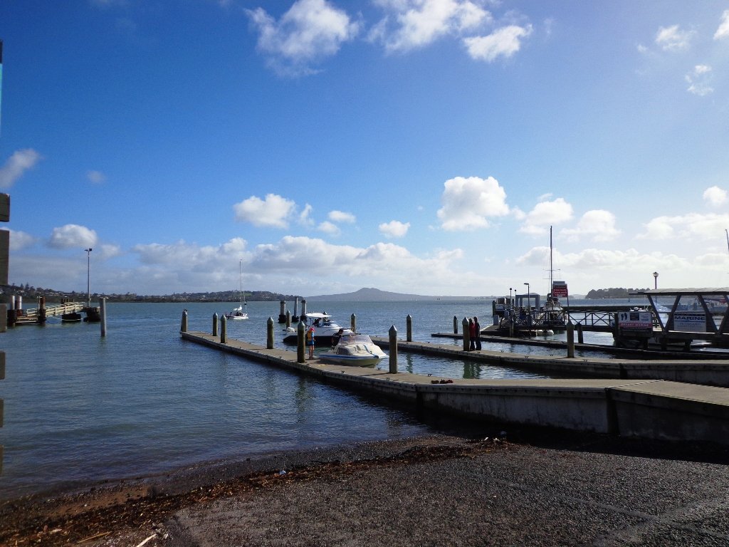
30th January 2015: The Westhaven Promenade is now open. This will form part of a 20km continuous walkway and cycleway that runs from Herne Bay in the west to Tamaki Drive in the east. Read more: Westhaven Promenade

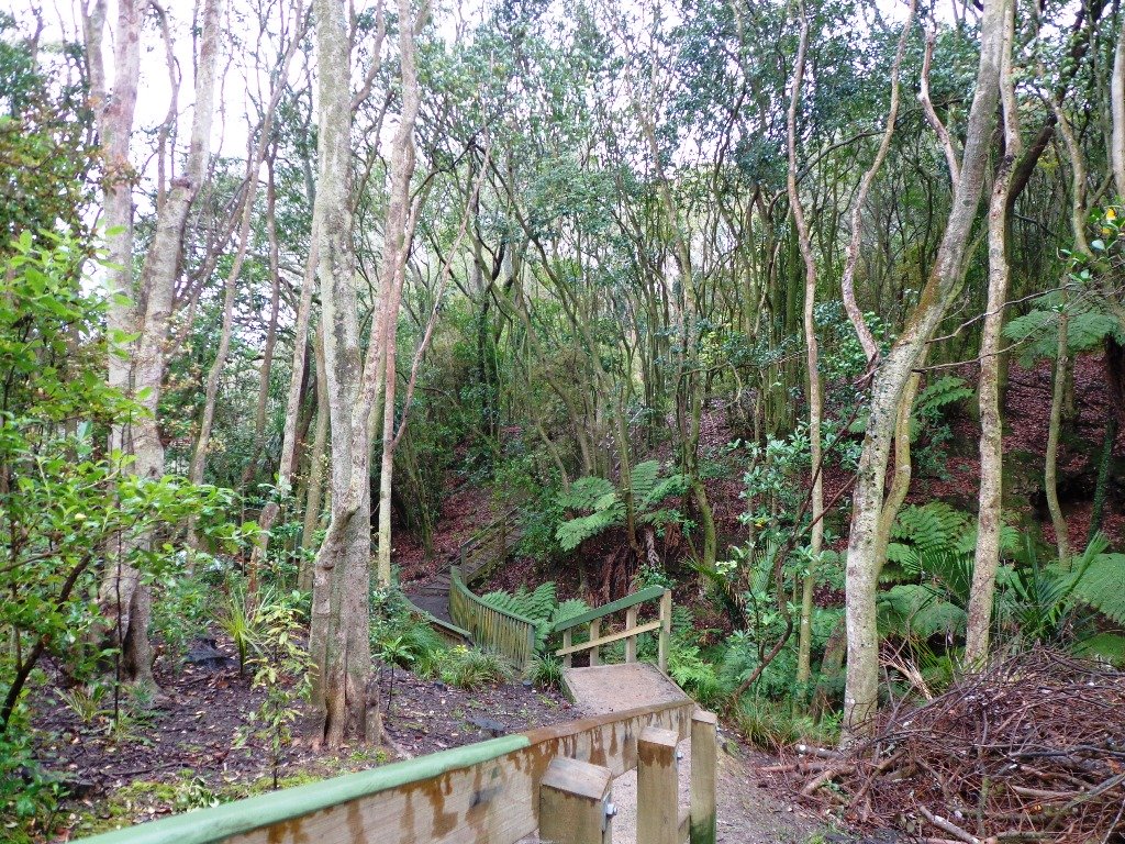
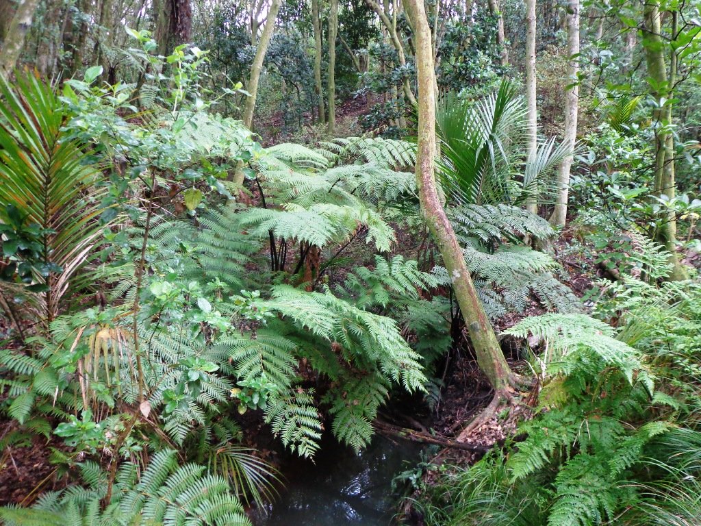
Description: Mainly level paths, two flights of steps. Suitable for users of average fitness and mobility. Running shoes suitable.
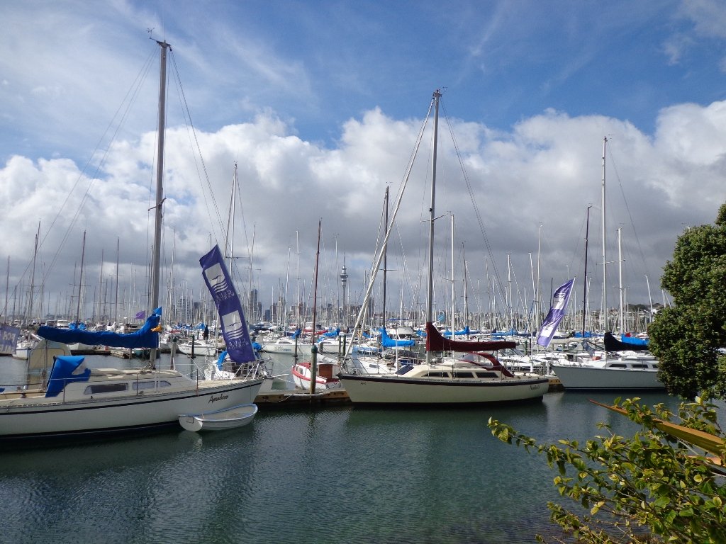
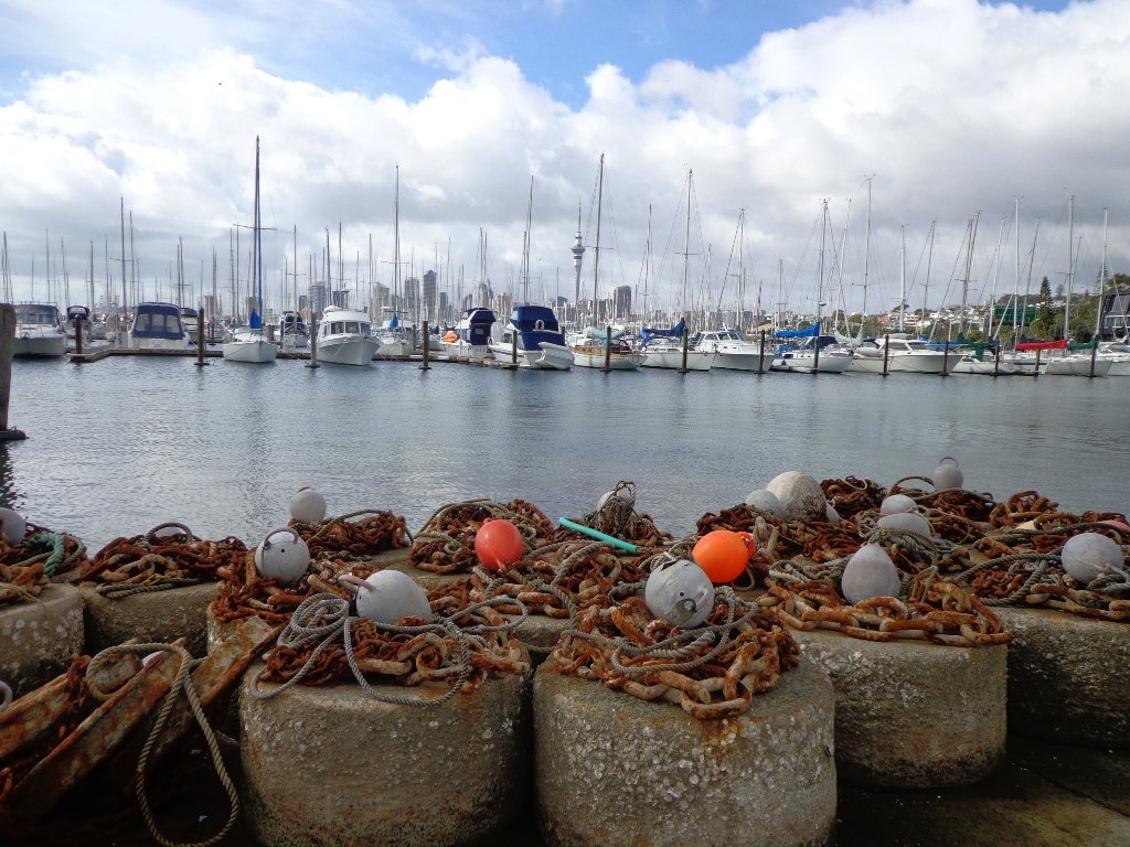
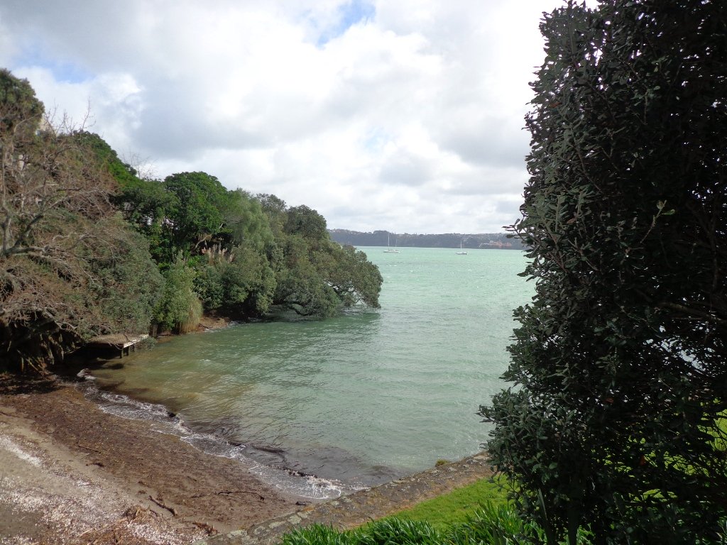
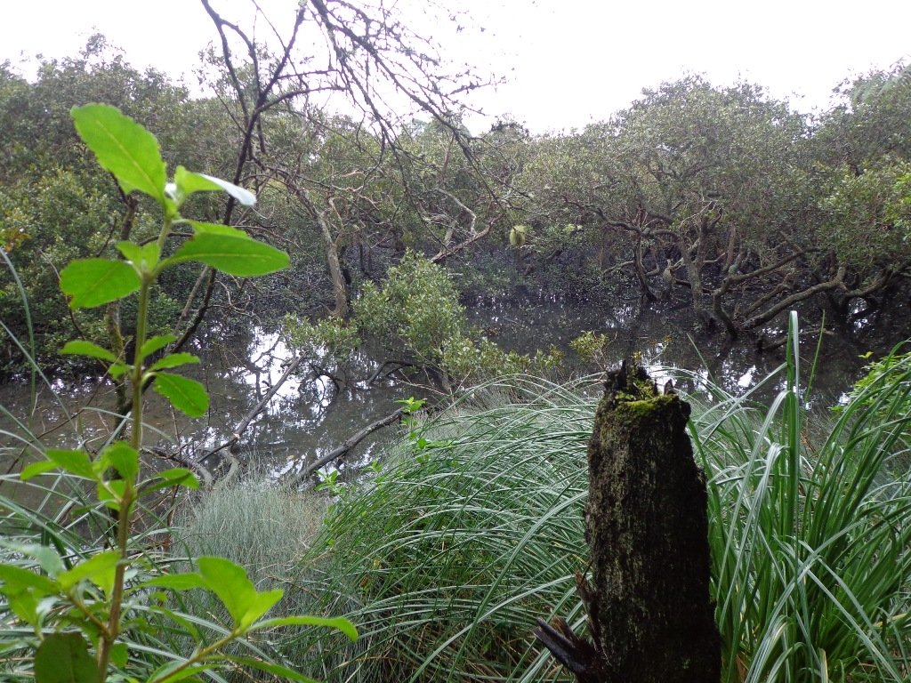
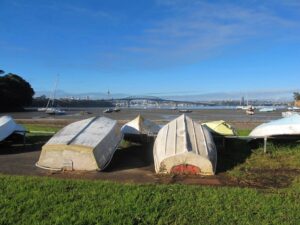
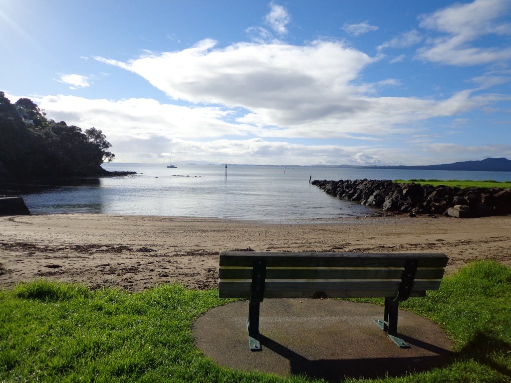
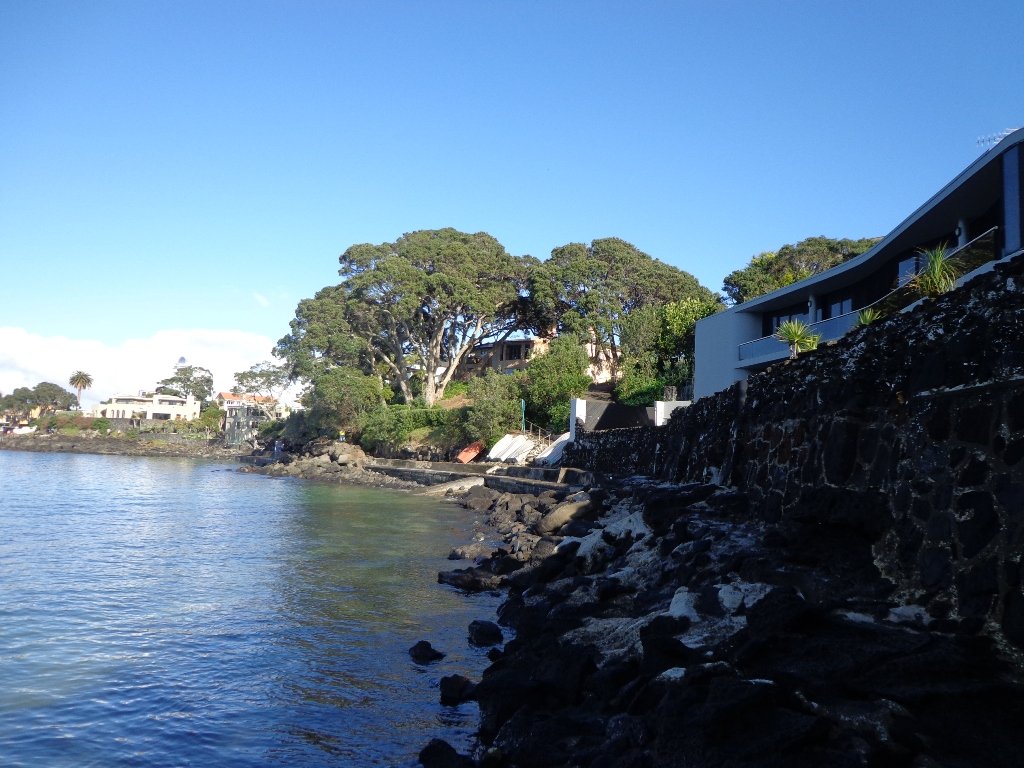
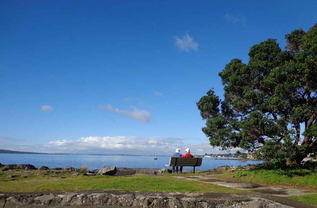
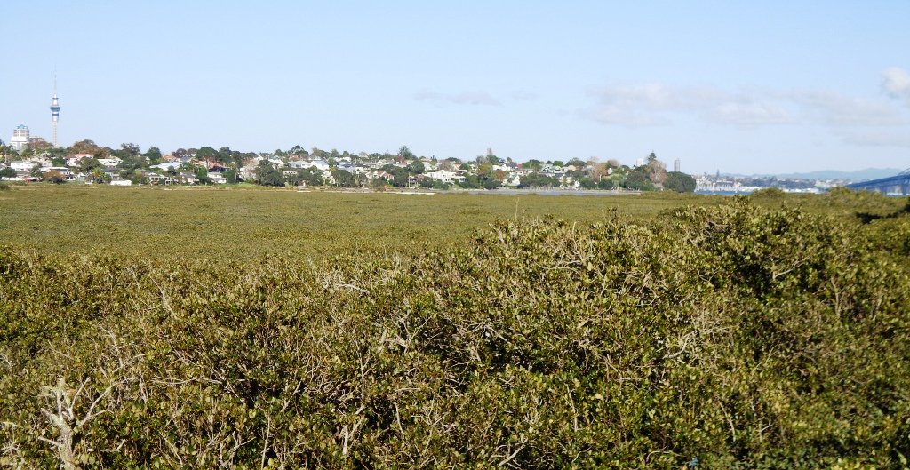
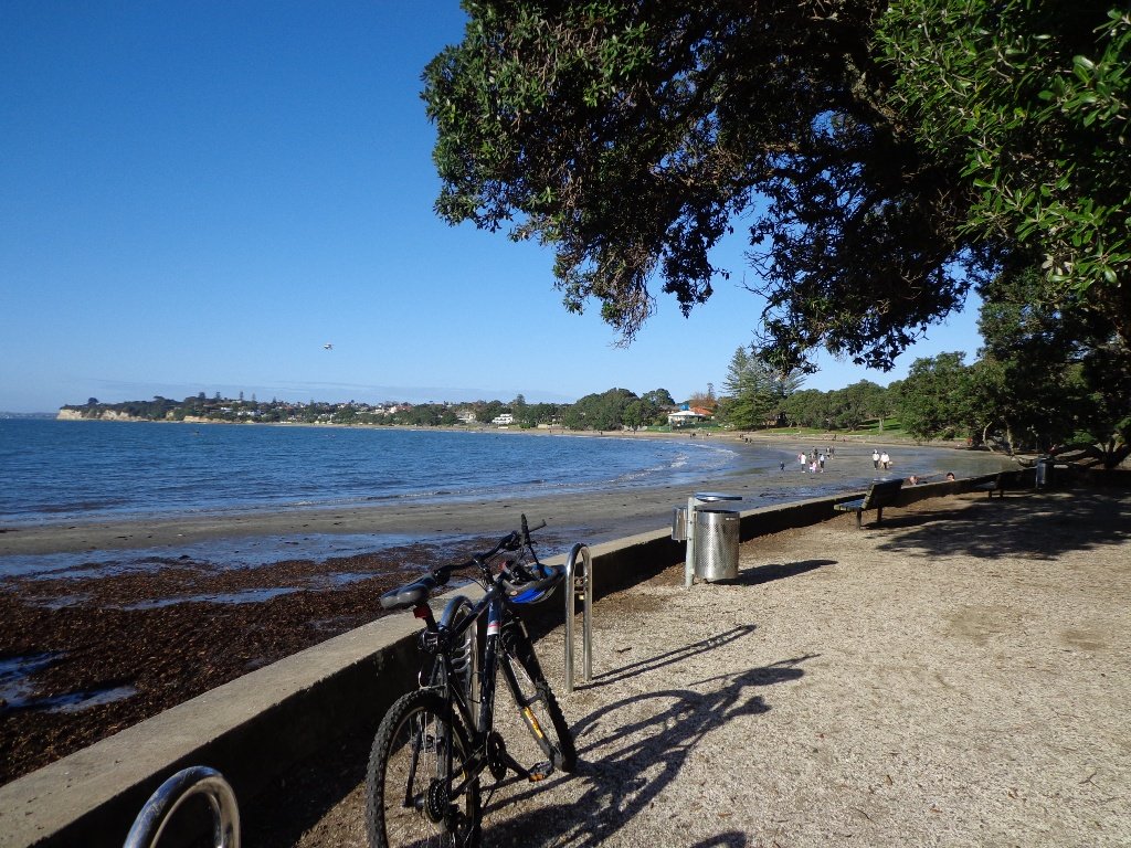
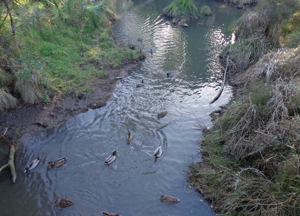
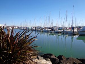
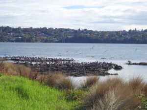
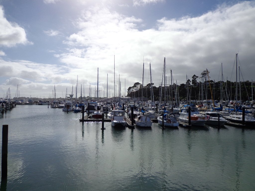
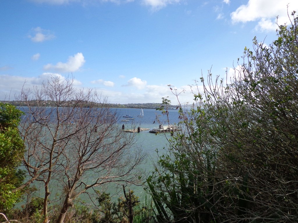
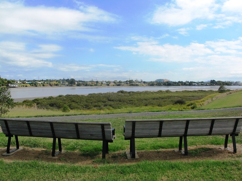
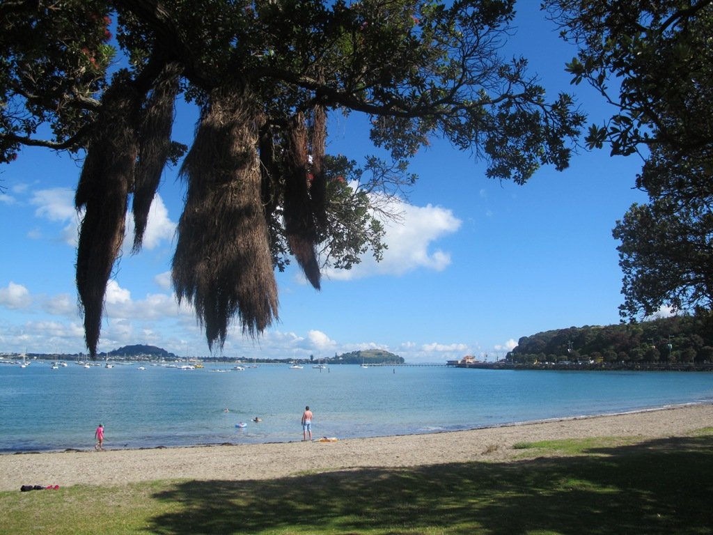
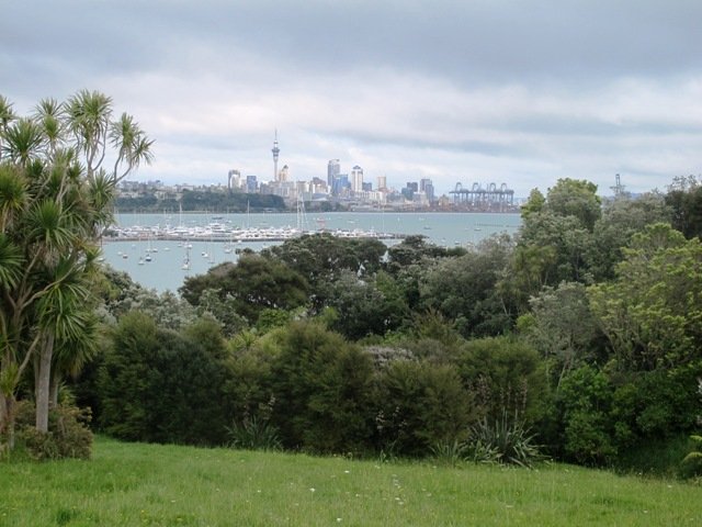
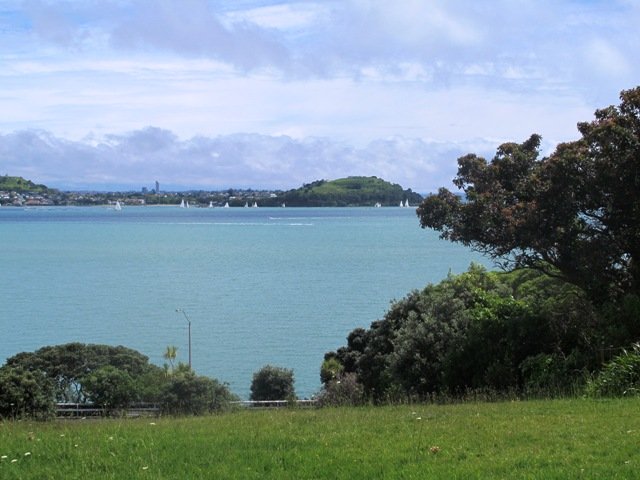
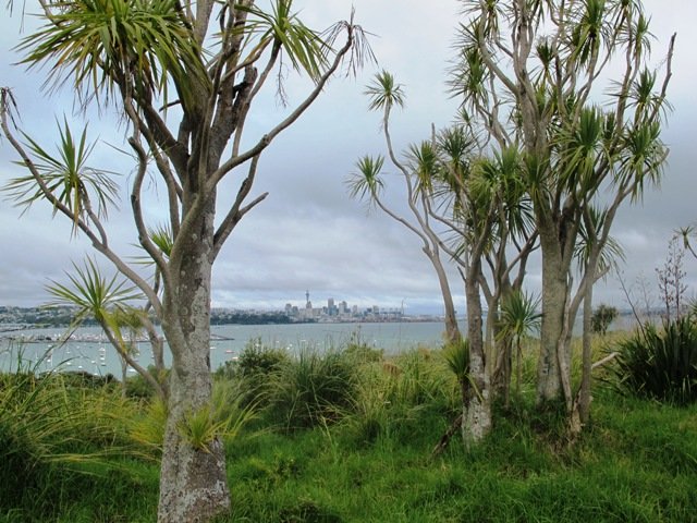
To see:  Auckland City views, Rangitoto Island views, harbour views, Harbour Bridge.
Time: approx. 45 minutes. (about 4.24 kms).
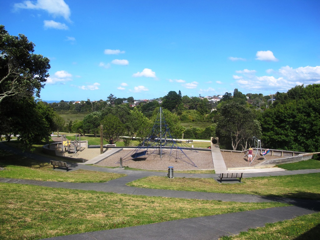
Point Erin Park for Dog off leash area, Playground, Picnic site. Children’s scooter friendly apart from the steps.
Start: Westhaven Drive, Saint Mary’s Bay (Harbour Bridge end) MAP

Dog friendly walks in Auckland - part three

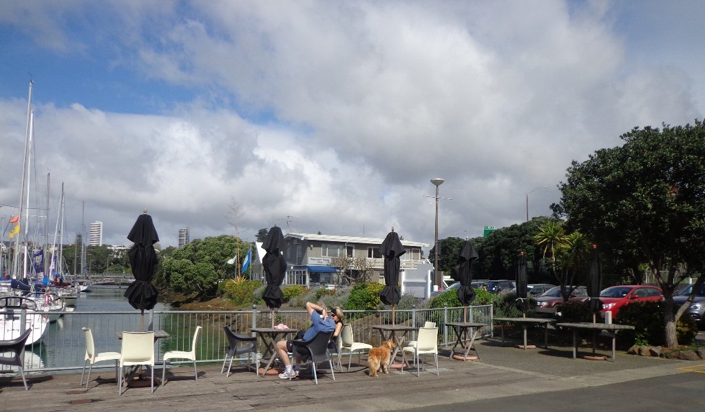
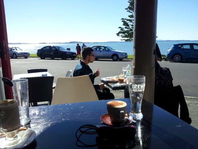
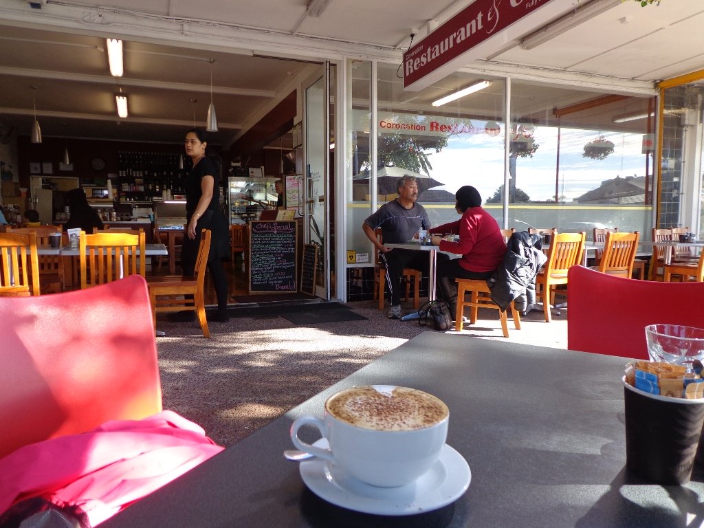
Suggested cafe: Sitting Duck

Stay on track…get your detailed guide and map over at our Walks Store  (AC-088 Westhaven Loop) and our Book Store (one of 12 walks featured in our book “Dog Friendly Walks part 3”).

Westmere Loop Walk

This Westmere Loop walk explores the gems of Wellpark Reserve and Jaggers Bush Reserve beside the creek, and touches on the harbour edge at Westmere Park and the end of Garnet Road.  It is interesting to observe the varied style of housing. At low tide it is easy to take a short cut alongside the harbour.

Garnet Station Cafe

Despite the grey clouds and the rain forecast, we set off to explore the streets and reserves of Westmere, starting from the fabulous community-minded Garnet Station Cafe in Garnet Road.

Description: Bush track, steps, inclines. Muddy in places when wet. Suitable for users of average fitness and mobility.
To see: Native bush, views across Auckland Harbour, native birds.
Time: approx. 75 minutes. (about 5.5 kms). Dog friendly (off-leash in Jaggers Bush Reserve).
Parking: Garnet Road, Westmere.
Buses: Warwick Avenue, Westmere MAP

Stay on track…find this walk’s map and directions guide (AC-083 Westmere Loop Walk) and other walk self-guides at our Walk Store.

Moire Park Bush Walk

We have done this Moire Park Bush Walk in Massey, West Aucklandtwice previously and this time we returned to make use of the yellow walking/cycling bridge that now crosses the motorway.

Note: this GPS Google Map is of Moire Park and does not include some of the extra walking described in the description below and brochure.

The walk now begins from Westgate Shopping Centre with the option of starting from the Moire Park sports complex off Granville Drive, if preferred.  There is a short stretch of street walking, but the majority of the walk is off road with a long stretch through native bush, following the Manutewhau Stream.

View from Flaunty Reserve © 2011-2013 Unleashed Ventures Limited

There is a collection of children’s playgrounds (some with flying fox) that could provide a great incentive for doing the walk with children, and if you take some bread, you may wish to feed the ducks in the ponds near Westgate.

The view from top of Flaunty Reserve across Auckland Harbour to the city can be breath-taking.

Description: A mix of level paths and steep paths. Suitable for users of average fitness and mobility. May require boots in wet weather, running shoes suitable in dry weather. Muddy tracks after rain.
To see: Auckland City views, Waitakere Hills view, views of Te Atatu Peninsula, native trees and fauna, urban development. Childrens playgrounds. Dog friendly off leash areas.
Time: approx. 75 minutes. (about 6 kms)
Parking: Westgate Shopping Centre.
Buses: Westgate Shopping Centre MAP

Stay on track…get your detailed guide and map (AW-031 Moire Park Bush Walk) over at our Walks Store  and our Book Store (one of 12 walks featured in our books “Urban Bush” and “Dog Friendly Walks part 1” and “Best of the West“).

Le Roys Bush Loop

Saying that you are going for a walk in the bush in urban Auckland, may sound like an oxymoron…however, that is one of the many wonderful aspects of walking in Auckland – you never have to go far to find native bush. Kauri Glen Reserve lives up to it’s name and Le Roys Bush follows a stream downhill to the restored wetlands of Little Shoal Bay, Northcote (which was once a tidal estuary filled with mangroves).

Little Shoal Bay © 2011-2013 Unleashed Ventures Limited

This morning the sun was out (as well as the tide!), which made it a very pleasant and warm winter’s day.  Some of the smaller tracks are wet, muddy and slippery so if that doesn’t fit with you, then I suggest that you save them for a summer walk. The loop walk we have documented keeps you on the drier paths and boardwalks.

We were rewarded with sunlight filtering through the native trees, the sound of the bubbling stream and the songs of the native birds – we could have been deep in the bush instead of in the middle of urban residences!

  • Free Map for your smartphone – go to the new prototype site:  Le Roys Bush Walks [22Nov2015]

Kauri Glen is one of the oldest bush reserves on the Shore (measures about 25 acres and first sizeable pieces of land that was placed under public management) which includes trees such as taraire, totara, kauri, tawa, rewarewa and maire. Kiekie and nikau are abundant in this sub-tropical rainforest. Smaller species of note are pate and karapapa. The area is alive with the likes of tui, fantails and moreporks.

Little Shoal Bay Reserve is a great place to start and finish at – with plenty of parking and a fun looking children’s playground.  Dogs must be kept on leash to protect the flora and fauna.

Alternatively you could begin your walk at Birkenhead. A new track has been constructed (September 2016) from 31-45 Birkenhead Avenue. Called the Maori Pipi Walk.

You could pop into the Northcote Tavern  for lunch, coffee or a beer afterwards – full of character and nice ambience. Or stop at Sausalito Cafe.

****************************************************************
Please protect our Kauri.  Clean ALL dirt off your shoes and dogs feet BEFORE you arrive. Spray feet on entering and leaving. Dogs on leash at all times. Keep to the tracks. Enjoy your walk. 
Join Le Roys Bush on Facebook.

***Please note: September 2018 This track has been temporarily closed due to Kauri Dieback
****************************************************************
Description: Bush track and board walks. Slippery when wet. Suitable for users of average fitness and mobility.
To see: Native bush, waterfall, wetlands, views across Auckland Harbour, native birds.
Time: approx. 60 minutes. (about 5.0 kms)
Parking: Little Shoal Bay Reserve
Buses/Ferries: Queen Street, Onewa Road, Northcote MAP

Stay on track…get your detailed guide and map  (AN-079 Le Roys Bush Loop) over at our Walks Store and our Book Store (one of 12 walks featured in our books “Urban Bush” and “Dog Friendly Walks part 2”).

Takapuna to Milford Loop Walk

Copyright 2011-2013 Unleashed Ventures Limited

Many walkers on Auckland’s North Shore will be familiar with this route.  We start  off from the boat ramp at Takapuna, head along the shore line over sand, rocks and narrow pathways; past beautiful houses that overlook the Hauraki Gulf and Rangitoto Island to Milford, where we head inland along the marina before returning to Takapuna.

This walk suits sure-footed folk, and you would want to avoid high tide and stormy seas.

Dogs – Takapuna Beach is an off-leash exercise area 24/7 in winter, but only before 10am and after 6pm during daylight saving.

Description: Partly rocky and narrow seaside pathway. Slippery when wet.  Avoid at high tide and stormy weather. Suitable for users of average fitness and mobility.
To see:  Hauraki Gulf, beaches, marina, residential homes.
Time: approx. 75 minutes. (about 6.22 kms)
Parking: Takapuna Boat Ramp, The Promenade
Buses: Hurstmere Road, Takapuna (MAP)

Stay on track…find this walk’s map and directions guide (AN-077 Takapuna Milford Loop) and other walk self-guides at our Walk Store.

New Lynn pottery and parks

Manawa Wetland Reserve © 2011-2013 Unleashed Ventures Limited

This walk in New Lynn (West Auckland) explores either side of the town centre and takes in Olympic Park and it’s popular children’s playgrounds, and the wetlands of Manawa. The Park and the Wetlands has a community of ducks and pukekos.

According to the TimeSpanner: “The Manawa Wetland Reserve has been redeveloped from a dump for Crown Lynn  rejects, before the clay was scoured out for bricks and pots and other thing, and it was the site of the poudrette factory, and before that, it was New Lynn’s Waterfalls Estate in the 1860s.”

Watch video Manawa Wetlands – Anywhere Auckland

To research the clay and brick history of New Lynn, get lost in Papers Past.

Taking the train to New Lynn could be the start of a day’s outing.  Do this walk along this side of the Whau River in the morning, have lunch in New Lynn, visit the Mall and then do the Avondale Whau River walk on the other side of New Lynn.

Description: Mix of flat and undulating paths. Suitable for users of average fitness and mobility.
To see: Olympic Park, Manawa Reserve Wetlands, Gardner Reserve, Ambrico Kiln, Whau River
Time: approx. 60 minutes. (about 5.25 kms) Children’s Playgrounds: Olympic Park
Start: Olympic Park (off Wolverton Street)
Buses/Trains: New Lynn Train Station (MAP)

Best of the West - Short Walks in Auckland

Stay on track…get your detailed guide and map (AW-076 New Lynn Reserves) over at our Walks Store and our Book Store (one of 12 walks featured in our book “Best of the West“).

Takapuna Explorer

Our walk around Takapuna on Auckland’s North Shore was in warm winter sunshine.  It was great to see so many people out walking – some with their dogs off-leash on the beach (check out the Council dog rules), making the most of the day.

Takapuna Beach Auckland Copyright Unleashed Ventures Limited 2013

We followed a route documented by Margaret Scrymgeour from her booklet “Explore the Shore”. This walk takes in the sandy shore as well as the mangrove filled estuaries. The walk is quite undulating, so gave us a good workout. The views of Rangitoto are stunning, and we also enjoyed the view to Auckland City, Mount Eden and the Harbour Bridge.

Description: Mix of flat and undulating paths. Suitable for users of average fitness and mobility.
To see: Takapuna Beach, Rangitoto, Mangrove, native birds, ducks
Time: approx. 90-120 minutes. (about 8 kms)
Start: Takapuna Boat Ramp, The Promenade  MAP

Coastal part 2

Stay on track…get your detailed guide and map (AN-075 Takapuna Explorer) over at our Walks Store  and our Book Store (one of 12 walks featured in our book “Coastal part 2”).

Half Moon Bay East

Half Moon Bay marina - ©2013 walksinauckland.com

This walk at Half Moon Bay explores the parks and reserves to the east, and then heads down to Eastern Beach. On a sunny day at high tide it is quite beautiful! The new-ish boardwalk, is a great finishing touch as you return to Half Moon Bay.

It was very busy at the Half Moon Bay cafes today – with many people out making the most of the sunny, warm weather and Mothers Day.

Description: Mainly level paths, steep steps and steep slopes. Suitable for users of average fitness and mobility.
To see: Views of Tamaki Estuary, marina, Eastern Beach Esplanade; views of Rangitoto, Mount Wellington and One Tree Hill
Time: approx. 75 minutes. (about 6.0 kms)
Start from: Half Moon Bay Marina  MAP

Stay on track…get your detailed guide and map (AE-072 Half Moon Bay East) over at our Walks Store  and our Book Store (one of 12 walks featured in our books “Coastal part 2” and “Best of the East”).


Mangere Esplanade Loop Walk

Mangere Bridge - Kiwi Esplanade copyright 2013 Unleashed Ventures Limited

It was a treat to walk along Kiwi Esplanade (Mangere Bridge) at high tide in the sunshine this morning. We had clear views to One Tree Hill and nearby Mangere Mountain, and sighted the migratory South Island Pied Oyster Catchers sitting on the rocks and reserves.

It’s always a pleasure to visit Mangere Bridge Village, with it’s parade of cafes and interesting folk. The area was busy today with walkers and cyclists. 

The walking route is also great for prams/buggies and dog walkers (on leash only).

Nearby places to visit: Watercare Coastal walkwayAmbury Regional ParkVilla Maria Winery and cafeButterfly Creek,  Otuataua Stonefields historic reserve , Mangere Strawberry and Vegetable Farm @ 127 Kirkbride Road.

Other Mangere WalksMangere Bridge to Onehunga LoopAmbury Park Farm WalkMangere Mountain

Description: Mainly level paths, with just one gentle downhill slope. Suitable for users of average fitness and mobility.
To see: Views of Manukau Harbour, One Tree Hill, Mangere Mountain, Pukeko and shore birds habitat.
Time: approx. 75 minutes. (about 6.23 kms)
Start: Coronation Road, Mangere Bridge Village  MAP

Stay on track…get your detailed guide and map (AS-071 Mangere Esplanade Loop) over at our Walks Store  and our Book Store (one of 12 walks featured in our books “Coastal part 2” and “Best of the South”).


Half Moon Bay West

Half Moon Bay. Copyright 2013 Unleashed Ventures Limited

Half Moon Bay was bathed in sunshine this morning – very welcome after a week of rain.  The walk west follows the cliff tops with fantastic views of Point England Reserve, Tahuna Torea, Rangitoto and Mount Wellington.

It’s been a while since we had visited Half Moon Bay; the last time there was a lot of building work going on.

We were prompted by Brett to return – this is his suggestion “A great one to commute to by ferry, go for a walk & check out the cafes, restaurants & bar at Half Moon Bay Marina, even a supermarket now at the marina. Best kept secret, free push bikes available from Grangers Restaurant & Bar!” Thanks for the tip, Brett!

Description: Mainly level paths, some steps and steep slopes. Suitable for users of average fitness and mobility.
To see:Views of Tamaki Estuary, Point England Reserve, Tahuna Torea, Rangitoto, Mt Wellington.  Wetlands, Pukeko birds habitat.
Time:approx. 60 minutes. (about 4.7 kms)
Start from: Half Moon Bay Marina off Ara-Tai Road MAP

Stay on track…find this walk’s map and directions guide (AE-070 Half Moon Bay west) and other walk self-guides at our Walk Store

Check it out: the Half Moon Bay ferry service

Highbrook Park Loop

If you have been out to Highbrook Business Park in South Auckland, you may have noticed a walkway along the waters edge to the north.  This has intrigued my friend and I for some time, so today we set out to explore and work out a way to include it an interesting circular walk.

Mission accomplished and rewarded with a delicious iced coffee at Highbrook Park’s Sierra Cafe! **Update December 2014** There is now a further selection of cafes and eateries at The Crossing (we had coffee at The Light Horse).

IMG_4918

According to “Volcanoes of Auckland, the Essential Guide” Highbrook was developed as a racehorse stud farm before it was converted to a business park. The explosion crater’s proper name is Pukewairiki which means “the hill with the associated small lagoon”. The crater floor is now salt marsh and mangrove forest.

The pathway along Highbrook Park is safe for family cycling. This walk does not include a playground and would be suited for older children.  Look out for the pohutukawa blossoms early summer. There is an off-leash dog exercise area on the Otara Creek (south) side of this walk.

Description: A mix of level and slightly hilly paths. Suitable for users of average fitness and mobility.  Suitable for mountain bikes.
To see:  Pukekiwiriki Crater, wetlands, views of Tamaki Estuary, Otara Creek, Pakuranga Creek, Mount Wellington and other volcanoes,  Highbrook Model Airpark.
Time: approx. 75 minutes. (about 5.8 kms)
Start: Business Parade North, Highbrook  MAP

Stay on track…get your detailed guide and map (AS-063 Highbrook Park Loop) over at our Walks Store  and our Book Store (one of 12 walks featured in our books “Dog Friendly Walks part 1” and “Best of the South”).

Saint Johns Explorer

We have previously explored St Johns Bush and wanted to incorporate the beautiful nature reserve into one of our longer circular walks.

St Johns Bush native ferns

This walk does just that, as well as passes through the reserves and playgrounds (Rutherford Reserve has a flying fox) within the suburb of Saint Johns. This walk suits adults as well as primary school age children. St Johns Bush has signposts to help us learn about the native trees and ferns.

Short Walks in Auckland: Urban Bush

Description: A mix of level and slightly hilly paths. Suitable for users of average fitness and mobility.
To see:  St Johns Bush native trees and ferns, residential housing, reserves
Time: approx. 45 minutes. (about 4.0 kms)
Dog off leash area: Allen Johnston Reserve
Start: Ipswich Place, Saint Johns  MAP

Stay on track…get your detailed guide and map over at our Walks Store  (AE-060 Saint Johns Explorer) and our Book Store (one of 12 walks featured in our books “Urban Bush” and “Dog Friendly Walks part 2”).

Belmont Bay Walk

This Belmont Bay walk on Auckland’s North Shore, was chosen by my friend after she read an inspiring article about the founder of the Belmont cafe “Little & Friday“.

View of Auckland Harbour Bridge from Belmont

This was my first explore around the Belmont and Bayswater area and was delighted to find reserves, cycleways, playgrounds and views of the Harbour Bridge with the Waitakere Ranges as a back drop.

The walk itself takes under an hour, and is mostly flat. One of the highlights is crossing the Bayswater Bridge (the new cycle/pedestrian bridge completed September 2013 – officially opened 5th October 2013, made with recycled totara timber balustrades).

Dogs – On-leash but lots of opens spaces.

Coastal walks in Auckland part two

Description: A mix of level paths and slightly inclined paths. Suitable for users of average fitness and mobility.
To see: Estuary views, wetlands, residential housing, Auckland Harbour Bridge

Time: approx. 45 minutes. (about 4.00 kms). Playgrounds.

Start: Corner Eversleigh Road & Rutherford Street  MAP

Stay on track…get your detailed guide and map (AN-058 Belmont Bay Walk) over at our Walks Store  and our Book Store (one of 12 walks featured in our books “Coastal part 2” and “Dog Friendly part 1”).

Pakuranga Loop walk

Part of our Pakuranga Loop Walk is along the  Pakuranga Rotary Walkway which currently extends to Pigeon Mountain, along the Tamaki Estuary and Whakaaranga Creek. 

Pakuranga walkway

It is a safe cycling, jogging and walking route. The walkway is paved and relatively flat, making it suitable for wheelchairs, pushchairs and a range of fitness levels. The walkway along the estuary is safe for family cycling.

dog off leash sign - Copy

The walking route is also great for prams/buggies and dog walkers (on leash). There is an off leash dog exercise area
along the Pakuranga Rotary Walkway between the Panmure Bridge and Waakaranga Reserve which permits dogs off-leash under the owners control. This is a huge off leash walk but most people do not know about. This sign can be found at the entrance to the walkway at Kerswill Place. See Auckland Council dog rules.

These flat river plains were used to grow oats, hay and wheat up until the 1950’s.   Pakuranga was then known as “the granary of Auckland”.

This walk section looks into the mouth of the Panmure Lagoon from the opposite bank.

Description: A mix of level paths and slightly inclined paths. Suitable for users of average fitness and mobility.
To see:  Estuary views, boats, wetlands, residential housing,  Mt Wellington, Pakuranga Mall
Time: approx. 40 minutes. (about 3.75 kms)
Start: Pakuranga Mall  Map

Stay on track…find this walk’s map and directions guide (AE-057 Pakuranga Loop) and other walk self-guides at our Walk Store

Click on the photos below to view in full screen.

Mission Bay to Okahu Bay Loop

The loop walk in Auckland from Mission Bay to Okahu Bay takes in the views of Auckland Harbour from the M J Savage Memorial Park (the Auckland Explorer Bus stops here) and the Bastion Point Marae.  The bright sunshine and blue skies today, enhanced the scenes.

Mission Bay Auckland NZ

Mission Bay is a great little seaside village that always seems to have a buzz with it’s cafes, restaurants, harbour promenade, famous fountain and sandy beach.

Okahu Bay has a sandy beach and on the other side of Tamaki Drive is the Orakei Domain.  The Domain has an extensive children’s playground that includes a flying fox.

You may wish to linger at the Michael Joseph Savage (first Labour Prime Minister of New Zealand and the founder of the welfare state) Memorial Park which overlooks Auckland Harbour.

Description: A mix of level paths and steep paths/steps. Suitable for users of average fitness and mobility. May require boots in wet weather, running shoes suitable in dry weather. Caution: part of the walk  is a grassy track.

Coastal walks in Auckland part two

To see:  Auckland City views, Waitemata Harbour views, Orakei Wharf, MJ Savage Memorial, Bastion Point.
Time: approx. 50 minutes (about 4.55kms)
Start: Mission Bay Reserve or MJ Savage Memorial carpark

Stay on track…get your detailed guide and map brochures over at our Walks Store  (AC-018 Mission Bay to Okahu Bay Loop) and our Book Store (one of 12 walks featured in our book “Coastal part 2”).