Tag Archives: Photos

Tiritiri Matangi Island walk

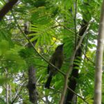
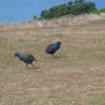
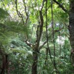
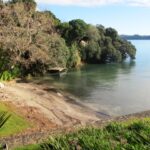
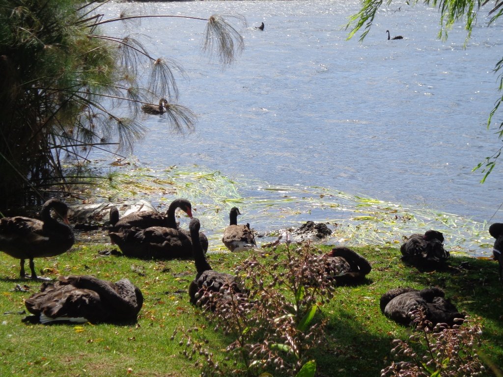
It’s been over 15 years since Helen last visited Tiritiri Matangi Island. Since then, the thousands of young native bush plants have grown to a lush environment (restoration began in 1983). And the bird song has intensified as the protected birds carry on with their breeding without having to be concerned about predators. This island is an example of how man can repair our environment.
Tirirtiri Matangi Island, Auckland

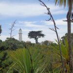
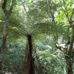
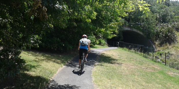
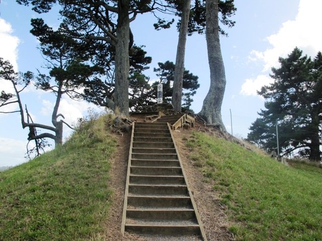
Our party opted for the guided tour and our volunteer guide Anna educated us about the trees and the birds as we made our way up the Wattle Track to the Visitors Centre, shop and lighthouse. We ate our picnic lunch at the table provided. (There is an option to have your picnic supplies driven up to that point to save carrying them with you.)

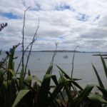
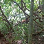
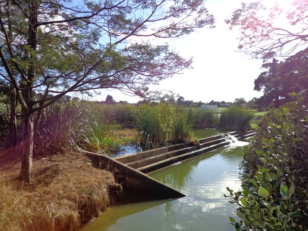
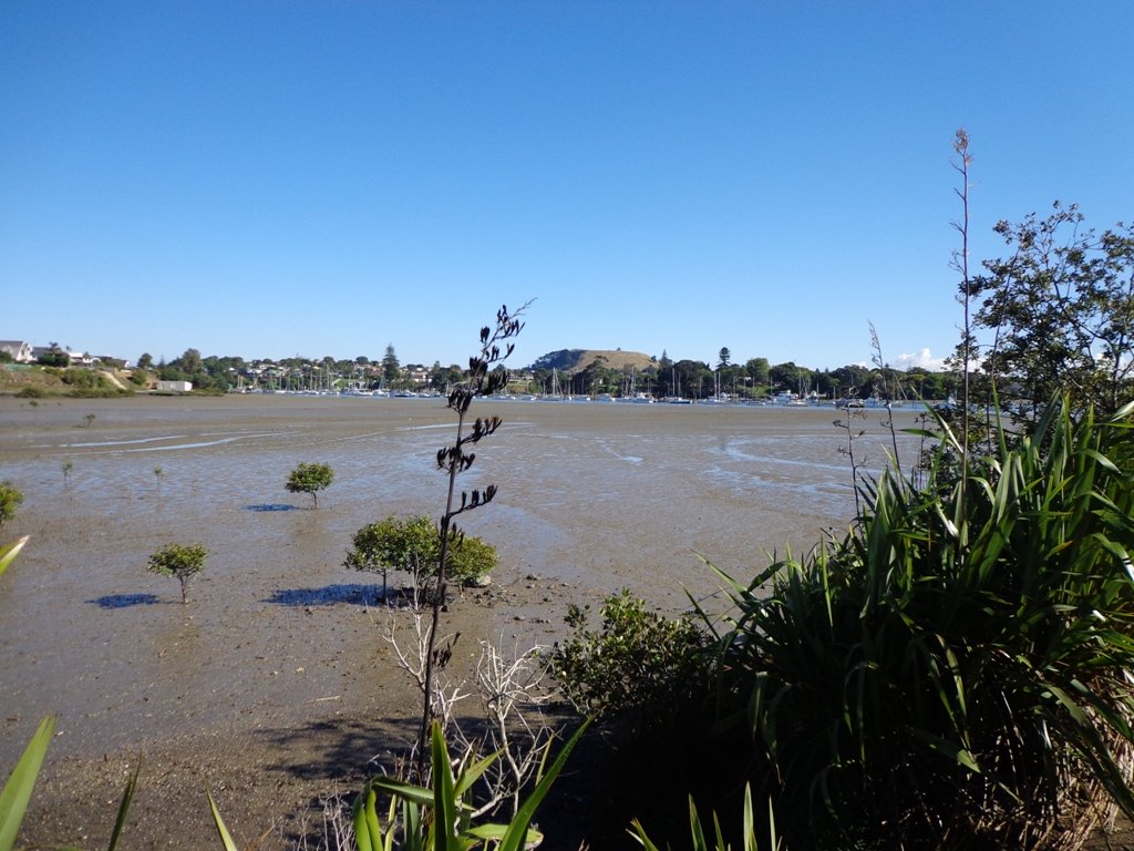
After lunch we ambled back down to the ferry via the Kawerau Track. It was magic to stop in a bush clad gully to hear and see so many birds in the magnificent trees. My favourite stopping point was by the 800-1000 year old pohutukawa tree – there were many tui birds calling.

This was a great day out and we are planning to come back in the spring to see the trees in bloom.

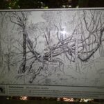
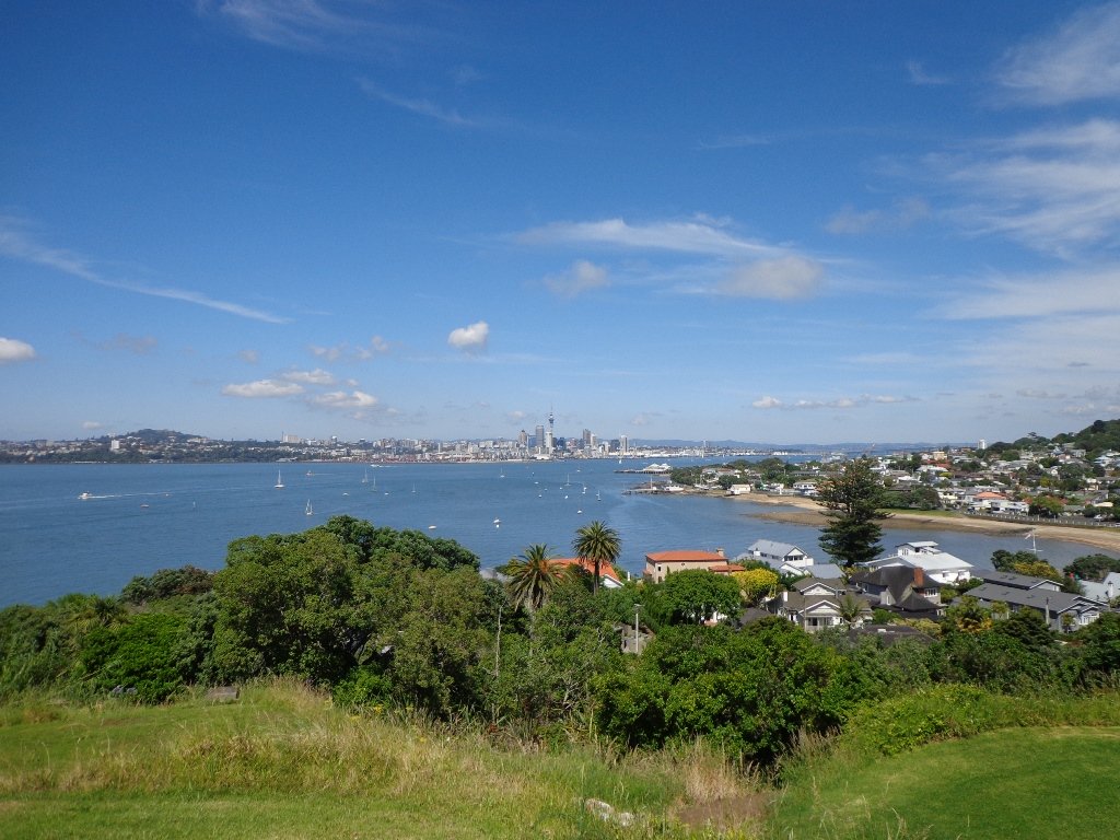
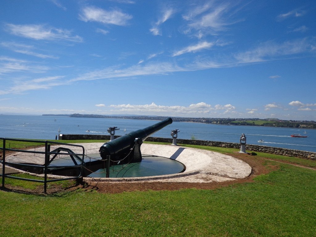
For information about how to get to Tiritiri Matangi and what to see, click here.  The Department of Conservation has information and maps here. You may wish to ‘Like’ the Tiritiri Matangi Facebook page.  (Click on photos below to enlarge).

Wattle Downs Walkway

Wattle Downs in South Auckland was another new area for us to explore. The Wattle Downs Walkway goes around the edge of the peninsula that extends into Manukau Harbour, at one spot there are views through to Manukau Heads.
The day was very calm – the water was like a mirror, and there were also threatening grey clouds hanging overhead.
The walking route is also great for cyclists, prams/buggies and dog walkers (on leash and off  leash dog exercise areas).

Wattle Downs walkway © 2013 Unleashed Ventures Limited

There are many points of interest along the way, and friendly people to say hello to. We stopped and spoke to a resident whose house looked out towards Manukau Heads – he told us that they get to view amazing sunsets over the harbour.

There are wetlands and ponds active with shore birds – if you are a keen bird watcher be sure to take your binoculars.

The only thing missing in the area is a cafe.

UPDATE March 2015 ** The shared walkway/cycleway has been extended from Hadley Wood Drive to Aberdeen Crescent.


Suitable for Family cycling: Frangipani Ave to Bluewater place, 10km each way.

Wattle Downs Public Toilets

Description: Mainly level paths, one set of steps (which can be avoided). Suitable for users of average fitness and mobility. Suitable for cyclists.
To see: Manukau Heads, Manukau Harbour, Wattle Farm Wetland Reserve, shore birds
Time: approx. 100 minutes (about 8.7 kms). Dog off-leash areas. Childrens playgrounds. No cafe. Public Toilets may not be open due to vandalism issues (see image below).
Start from: Wattle Farm Reserve MAP

Stay on track…get your detailed guide and map (AS-067 Wattle Downs Loop) over at our Walks Store   and our Book Store (one of 12 walks featured in our books “Coastal part 1”, “Dog Friendly Walks part 1” and “Best of the South”).

(Click on the photos to enlarge)

Pakuranga Kentigern Loop

© 2013 Unleashed Ventures Limited

Today we set out to explore another part of the Pakuranga Rotary Walkway, this time taking a loop behind Saint Kentigern College and through Manor Park.

This mainly flat 4km walk would suit workers at Pakuranga Plaza as well as residents. Views of Mount Wellington and water craft. Great for cyclists (cycle the full length of the walkway to Pigeon Mountain) and dog walkers (on leash – please refer to comments below), and for prams/buggies .

The day was calm and the skies blue – perfect for a walk!

Description: Mainly level paths. Suitable for users of average fitness and mobility.
To see:  Views of Mount Wellington, water craft, residential homes
Time: approx. 45 minutes. (about 4.0 kms)
Start: Pakuranga Plaza MAP

Stay on track…find this walk’s map and directions guide (AE-066 Pakuranga Kentigern Loop) and other walk self-guides at our Walk Store

(Click on photos to enlarge)

Wynyard Quarter waterfront loop

Wynyard Quarter Auckland

Another beautiful sunny, calm winter’s day in Auckland!  The harbour water was dazzling as we walked along the Wynyard Quarter waterfront and the Viaduct Basin.

This walk is a flat one that is great for visitors to Auckland and families who enjoy Auckland’s maritime theme.

The circuit we walked took in many interesting sites- from the new open spaces, fishing boats, trams, opening bridges and fish markets to the super yachts and harbour-side bars and restaurants.

The walking route is also suitable for prams/buggies and dog walkers (on leash only).

The new Wynyard Quarter Stage One opened for business in August 2011. As the Wynyard Quarter expands, there will be more to see and do.  So it’s worthwhile coming back often to view progress.

Verdict: Lots to see and do. Fun for children. Easy for push chairs and wheel chairs.

See more photos on our Facebook page.

This walk can be linked together with the Point Erin and Auckland Harbour walk for a longer walk starting from the Ferry Building/Britomart and taking in Victoria Park markets.

Nearby Attractions: Auckland Fish Market (cnr Jellicoe and Daldy Streets) Voyager Maritime Museum

Description: mainly a level path. Suitable for users of average fitness and mobility. Suitable for wheelchairs and pushchairs.
To see:  Auckland harbour views, Rangitoto Island views, bridges, yachts
Time: approx. 45 minutes. Plus time for lingering(about 3.89 kms)
Start: Off Halsey/Beaumont Streets or from Britomart MAP

Coastal walks in Auckland book (part 1)

Stay on track…get your detailed guide and map over at our Walks Store  (AC-044 Wynyard Quarter & Viaduct Harbour Loop walk) and our Book Store (one of 12 walks featured in our book “Coastal part 1”).

Point Erin and Auckland harbour walk

Auckland Harbour Bridge

A glorious day after very rough weather earlier this week made the walk today very enjoyable.  The sun shone on the full tide, which encouraged me to take many photos as we walked around Westhaven Drive and under the Harbour Bridge.

This Auckland walk not only has fabulous views, it is mostly flat (apart from the steep steps at Jacob’s Ladder (which have recently been shortened)), Victoria Park has a great children’s playground and skate park, and there are beautiful old homes to enjoy. There is also a dog off leash area along the way.  Victoria Park Markets have been upgraded with cafes and a few retail stores.

Westhaven Promenade - short walks in Auckland

30th January 2015: The Westhaven Promenade is now open. This will form part of a 20km continuous walkway and cycleway that runs from Herne Bay in the west to Tamaki Drive in the east. Read more: Westhaven Promenade

Dogs – this walk includes an off leash dog exercise area in Point Erin Park.

Description: A mix of level paths, one lot of steep steps. Suitable for users of average fitness and mobility. Running shoes suitable.
To see:  Auckland City views, Rangitoto Island views, harbour views, Harbour Bridge.
Time: approx. 60 minutes. (about 5.4 kms)
Parking: Carparks in Westhaven Drive

We stopped at the Sitting Duck Cafe for a coffee in the sun, overlooking the moored yachts – bliss!  I didn’t want to leave…

Coastal walks in Auckland part 2

Stay on track…get your detailed guide and map over at our Walks Store  (AC-043 Point Erin and Harbourside) and our Book Store (one of 12 walks featured in our book “Coastal part 2”).

Karangahape Road and Parks

walks in Auckland

The weather did not look too promising this morning (it did improve), so we set out to walk the back streets and parks of Auckland City.  This walk provides fine views of Mt Eden (down the side roads off Karangahape Road), the Harbour Bridge and the Sky Tower.

walks in Auckland

We got our ‘out in nature’ hit in Myers and Western Parks (with children’s playgrounds and a dog friendly off-leash exercise area). The Children’s playground in Western Park has seven slides and a Flying Fox, making this a short family friendly walk.

Auckland doesn’t seem so big when we walk it – it seemed to take no time at all to walk from Aotea Square to Ponsonby!

This is a great walk for visitors to Auckland and for families.  Catch the train to Britomart to begin the mini adventure!

We walked up to the Art Gallery in Kitchener Street to try the Mojo Cafe on Level One of the Art Gallery for the first time.

Description: A mix of level paths, steps and slightly inclined paths. Suitable for users of average fitness and mobility. May require boots in wet weather, running shoes suitable in dry weather.
To see:  Views of Mount Eden, Auckland City, Auckland Harbour bridge, parks, K’Rd shops
Time: Loop approx. 60 minutes. (about 4 kms)
Parking: 1 hour meter parking off Queen Street (2 hours on Sundays)

Dog friendly walks in Auckland - part two


Stay on track…get your detailed guide and map over at our Walks Store (AC-036 Karangahape Road and Parks) and our Book Store (one of 12 walks featured in our book “Dog Friendly Walks part 2”).

Pigeon Mountain and the Wetlands Loop Walk

Pigeon Mountain in the suburb of Half Moon Bay is another of Auckland’s volcanoes.  The mountain was originally three times its present size but its two craters have been quarried away to provide scoria. It is called Pigeon Mountain because in early European times, native pigeons called ‘kereru‘ used to live here.

Walks in Auckland
View from Pigeon Mountain

You can walk to the top of Pigeon Mountain and from the summit there are great views of Tamaki Estuary and Wakaaranga Creek Reserve mangroves, whilst below are boardwalks that cross over wetlands that house nests for the pukeko bird.

Follow the link to the Google Map of Pigeon Mountain and the associated  Wetlands walk.  We also have a second walk option for these areas here. 

Follow this link for the Short walks In Auckland alternate Pigeon Mountain Walk.

walks in Auckland

The nearby mangrove edged Wakaaranga Creek has good paths for wheels.  And there is a cool long slide in a playground that is worth checking out. Because most of this walk is in a bird reserve, dogs must be kept on-leash. However if you choose to follow the 5km Pakuranga Rotary walkway, there are several areas for off-leash exercise between the Pakuranga Sailing Club and Wakaaranga Reserve. This is a mostly flat walk if the walk to the summit of Pigeon Mountain is omitted.

Be aware that some pathways between houses and roads are iron bar chicanes that make it more difficult for wheelchairs, prams and cycles using the path.

Description: A mix of level paths, steps and slightly inclined paths. Suitable for users of average fitness and mobility. May require boots in wet weather, running shoes suitable in dry weather.
To see: Auckland City views, Rangitoto Island views, Volcano summit, wetlands, Pukeko birds habitat.
Time: approx. 75 minutes. (about 6 kms). Allow extra time to walk to the summit of Pigeon Mountain.
Start from: Gills Road just off Pigeon Mountain Road MAP

Stay on track…get your detailed guide and map over at our Walks Store  (AE-033 Pigeon Mountain and the wetlands) and our Book Store ( one of 12 walks featured in our books “Volcanoes” and “Best of the East”).

Macleans Park and Eastern Beach

Today we explored Macleans Park and Eastern Beach – an area that was new to us.  The walk took us up and over the Park and down to the waterfront.  We were rewarded with wonderful views over the Hauraki Gulf/Tamaki Strait and were able to cool off in the snippets of native bush.

walks in Auckland

This is a dog owners paradise -a very dog friendly walk with an off-leash area throughout the park. Dogs are allowed on the beach area from 7 pm to 9 am. The Auckland Council dog laws are:
Dogs are permitted off leash in ALL parks and reserves except those adjoining beaches with the above mentioned restrictions on times dogs are allowed on the beach. (See other Dog Friendly Walks)

The beach area is set up for picnics and there are children’s playgrounds.

Macleans Park is 36 ha in size. The gully areas and stream restoration plantings have helped to provide roosting and foraging habitat for kingfisher, fantail, pigeon, silver eye, tui and grey warbler native birds.

Note: the yellow line shows the Short Walks In Auckland recommended loop walk.

Click to open the Google Map in a separate tab or tap icon in top right of this map.

Download a printable version of the Macleans Park Downloadable Google Map

Macleans Park Track Elevation
Macleans Park Walkway Elevation

Description: A mix of level paths, steps and steep paths. Suitable for users of average fitness and mobility. May require boots in wet weather, running shoes suitable in dry weather.
To see: Hauraki Gulf/Tamaki Strait views, native bush, streams, beach
Time: approx. 60 minutes. (about 4 kms)
Start: Macleans Road opposite Murivale Drive MAP

Stay on track…get your detailed guide and map over at our Walks Store  (AE-032 Macleans Park) and our Book Store (one of 12 walks featured in our books “Dog Friendly Walks part 1” and “Best of the East”).

Walk TimeApprox 6 minutes (2.5 – 4km)
SurfaceDirt/Gravel, Grass, Paved
Difficulty2 – some hills but excellent track
Buggies/WheelchairSome hills are steep and there are some stairs
FacilitiesToilets, Playground, Flying Fox
HighlightsBeautiful native bush & birds, Flying Fox, Spectacular sea views, variety

Lake Pupuke Takapuna

Today’s walk around Lake Pupuke in Takapuna was a discovery one.

Walks in Auckland

I have been here only a few times – with my children when they were little and once to a garden sculpture exhibition.

I had not realised that you can walk the circumference, although unfortunately not completely by the lake edge.

However the bits by the lake edge – Killarney Park, Henderson Park, Sylvan Park, Kitchener Park and the Quarry Lake Reserve more than make up for the street walking.  There is lots to see at the lake edge, from the water birds to the water activities (sailing, wind-surfing, canoeing and model yacht racing). For more info about Lake Pupuke click here.

Lake Pupuke walkway track was muddy in places but would be ideal walking from November to perhaps June.  From September to December the path from Henderson Park to Sylvan Park is closed to allow the water birds space to nest and breed.

Even though the day was cold, windy and with spots of heavy rain, it was still a very enjoyable walk.  We will be back to document the Lake Pupuke walk very soon (and hopefully the day will be sunnier).

December 2011
We came back on a lovely summer day. We stopped and had a delicious iced coffee at the Cafe French Rendez-vous beside The Pumphouse.

Description: A mix of level paths and steep paths/steps. Suitable for users of average fitness and mobility. May require boots in wet weather, running shoes suitable in dry weather. Caution: Muddy and slippery when wet.
To see: Lake activities, water birds
Time: approx. 90 minutes. (about 7kms)
Start: The Pumphouse carpark (MAP)

Volcano Walks in Auckland

This walk  (AN-024 Lake Pupuke) and other walks are now available from the Walks Store  and our Book Store (Volcanoes).

12 Volcano Walks

12 Volcano Walks

Lake Pupuke is featured in our book “Volcanoes”. Available from AmazonShort Walks in Auckland: Volcanoes (and on Kindle)

Devonport and North Head Loop Walk

One of my favorite walks in Auckland is North Head and Devonport. There are many things to do and see in Devonport Village and the views from North Head are magnificent.

Catching the ferry across from the city adds to the experience. This brings back memories for me when my children were little and we caught the ferry to Devonport, they played in the playground and we followed that with take-away fish and chips eaten at the beach. As they got older they enjoyed visiting the shops especially the second-hand books shops. When we walked around North Head we missed out on seeing the many tunnels and gun placements because we did not know they were there. Our self-guides take you around North Head so that you do not miss out on the fun bits.

When Grace and I set out for Devonport this morning we did not realize that the Wine and Food Festival was today. It started at 1pm so it was fortunate that we did not leave the walk until the afternoon.
It is a glorious summer day and we wished we had brought our swimming togs to join others in the sparkling water at Cheltenham Beach. However, we were there to check out my walking directions and to take photos – and we did succeed doing that and had fun too.

If you do head out to North Head be sure to bring a torch with you to explore the tunnels and batteries. And your camera to capture the wonderful views overlooking the Hauraki Gulf.

Use this DOC brochure to find your way around.

We discovered the newly opened (October 2010) Torpedo Bay Museum and cafe at the base of North Head. Entry to the Museum is free and there are guided tours. The cafe sits in a great location overlooking the water with no traffic to hinder the prime view.

More: Devonport Walks and Trails 

Description: A mix of level paths, steep paths and steps. Suitable for most ages and levels of fitness and mobility, designed with flat shoes or running shoes in mind. Not suitable for wheelchairs and pushchairs.
To see: Volcano, tunnels, military defenses. Wonderful views of Rangitoto, Hauraki Gulf and Auckland City. Be sure to bring a torch to explore the tunnels.
Time: approx. 60 minutes.
Start: In Devonport Village near ferry terminal or along King Edward Parade. MAP

Suggested Cafés: 1) Torpedo Bay Cafe 
2) Along King Edward Parade
3) Many in Devonport Village

12 Volcano Walks

This walk has something for almost everyone… how about you?

Stay on track…get your detailed guide and map (AN-005 North Head Devonport) over at our Walks Store  and our Book Store (one of 12 walks featured in our books “Volcanoes” and “Coastal part 1”).

Walks in Auckland – Mt Eden/Maungawhau

Mt Eden/Maungawhau is one of the many volcano walks in Auckland, and one of the most popular places to visit.

Mt Eden boasts spectacular views of the city centre and surrounding region. Most people take a coach to the summit, hop out, take photos and then get back on the coach again.

Today, Grace and I walked around and over the summit in the summer humidity.

There are some shady tracks that do give relief from the heat. These tracks can be slippery when wet so we advise suitable footwear. Mt Edens walking paths and tracks are not as developed as the ones in Cornwall Park. It feels like more of a country walk than a city walk. But it does allow us to do the Mt Eden ‘Round the Maunga walk’.

As I mentioned the views are spectacular. Which is the highlight of this walk, as well as of course, getting the outdoor exercise. This is an excellent workout walk for people who are watching their weight because of the steep inclines and steps.

For visitors who have to choose between visiting One Tree Hill and Mt Eden – One Tree Hill is a larger area with more to see, sheep and cattle, a cafe plus a fine view from the summit. Whereas Mt Eden has a huge crater and a fabulous view of Auckland City. There is a good choice of cafes in Mt Eden Village, a children’s playground and an off-leash dog area.

Auckland City provide a Mt Eden Heritage brochure for people who enjoy history.  More info online here.

Find this walk and other walks in Central Auckland here.