Tag Archives: Brochure

Point View Reserve Loop

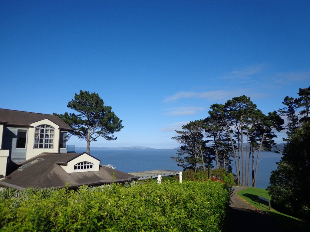
Last weekend while we were exploring the Whitford area, we stumbled across the Point View Reserve, and decided to check it out.

Point View Reserve Copyright 2014 Unleashed Ventures Limited

Click to Access the Point View Reserve Google MAP

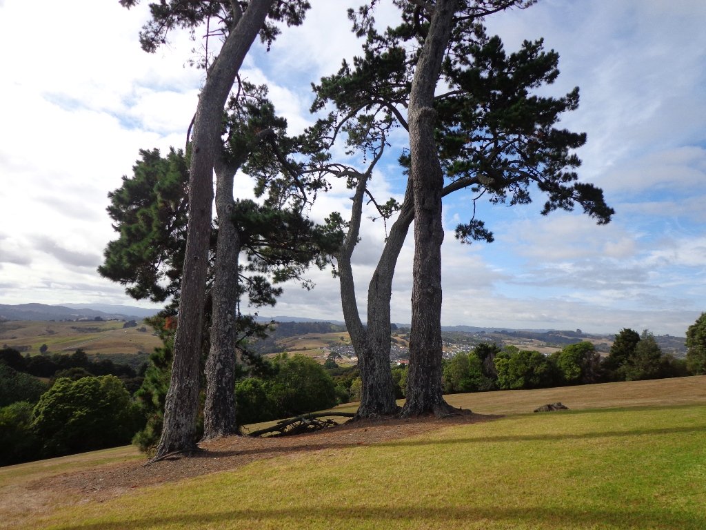
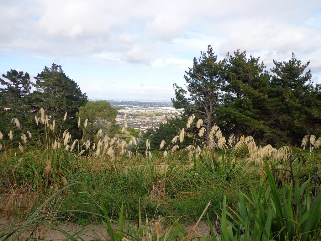
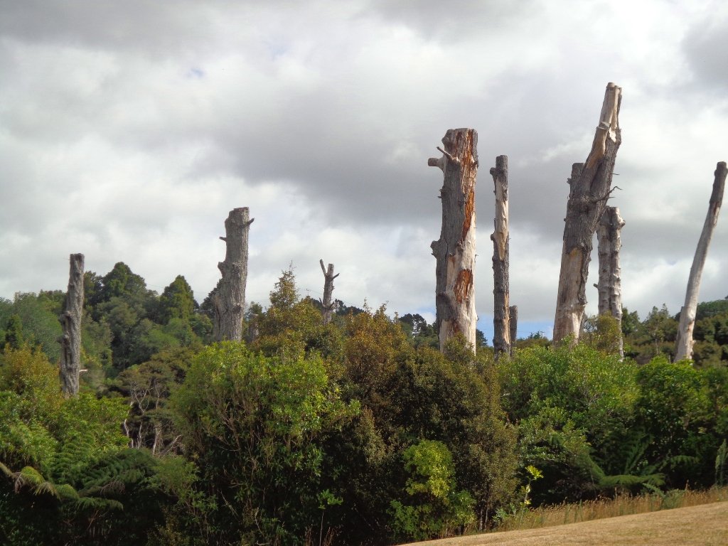
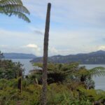
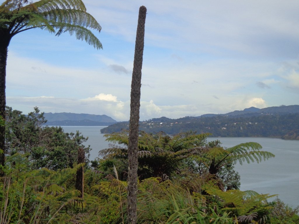
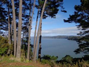
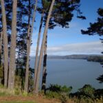
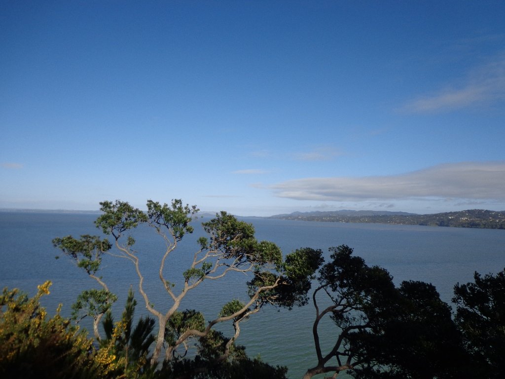
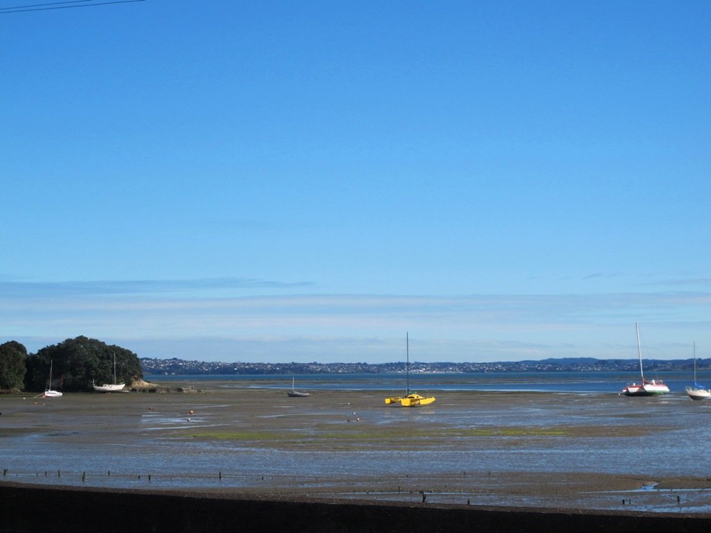
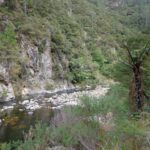
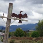
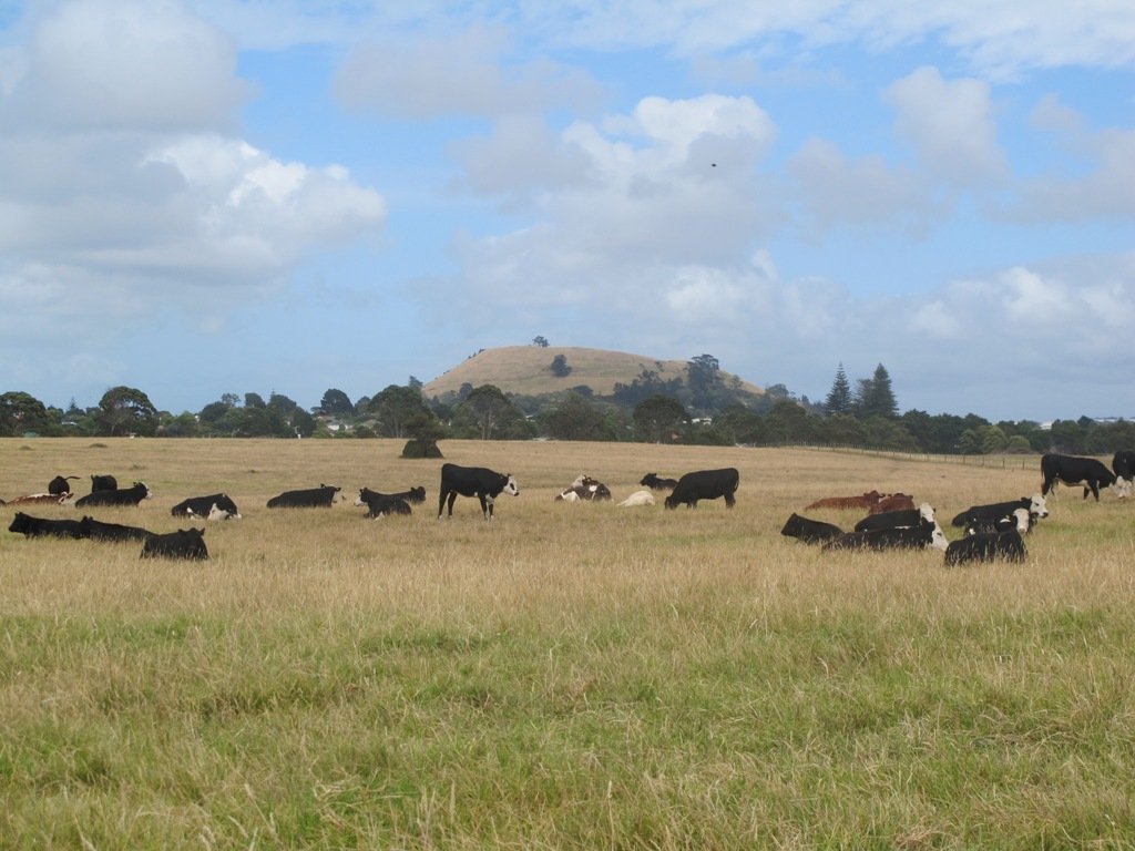
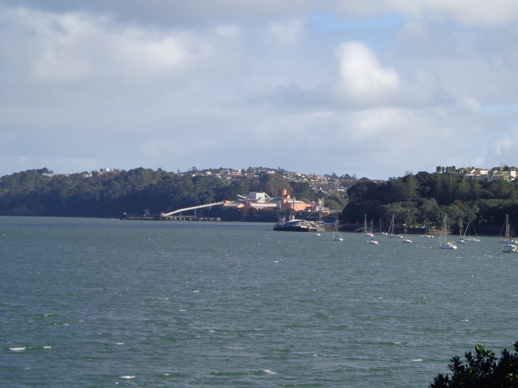
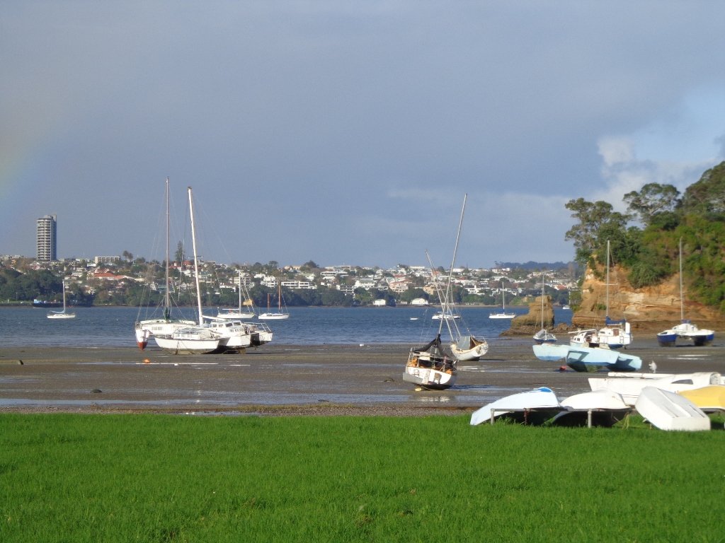
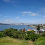
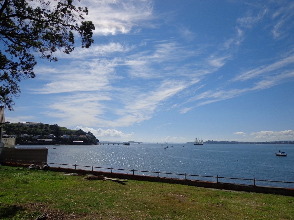
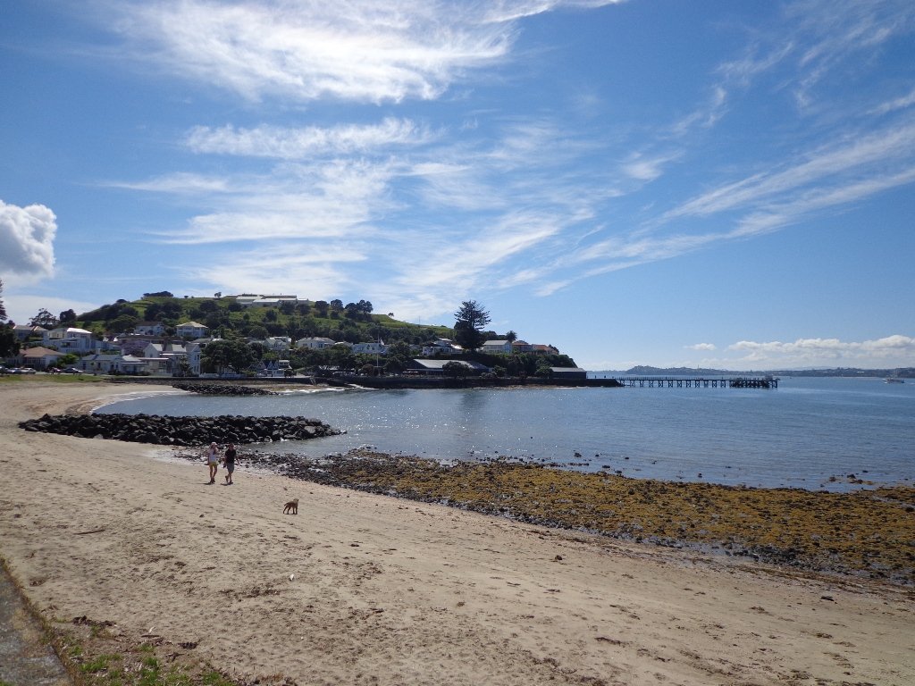
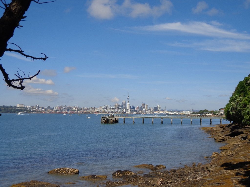
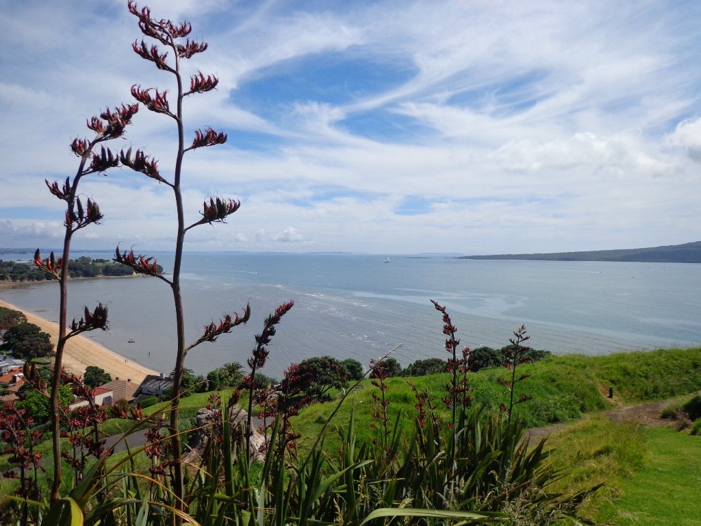
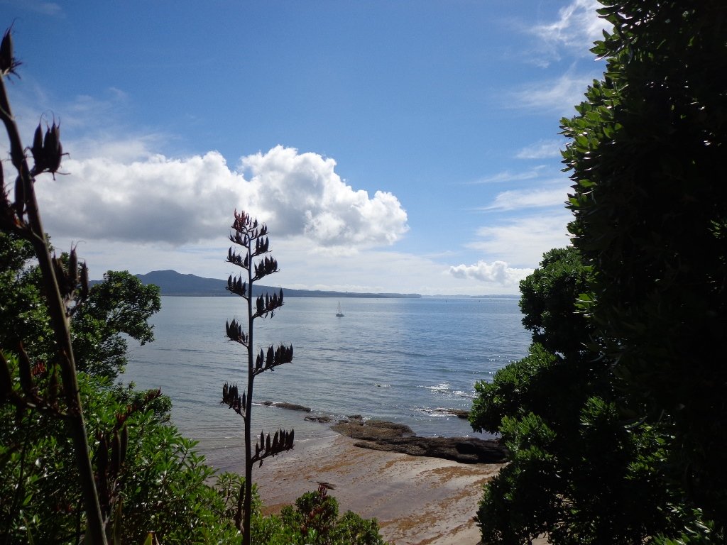
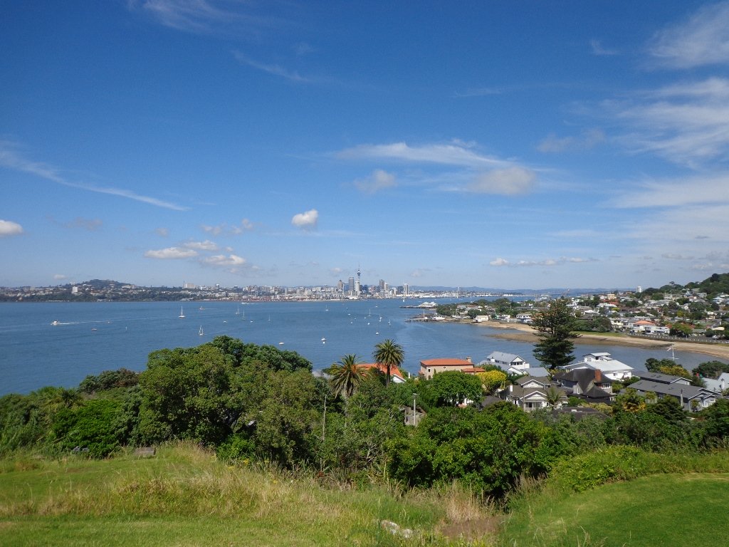
Point View Reserve is close to Botany and Dannemora and the view from the trig station, looking north to Auckland City puts the city’s housing sprawl into perspective.  Looking towards the opposite direction there are still the rolling hills of the quiet countryside to see. What a contrast!

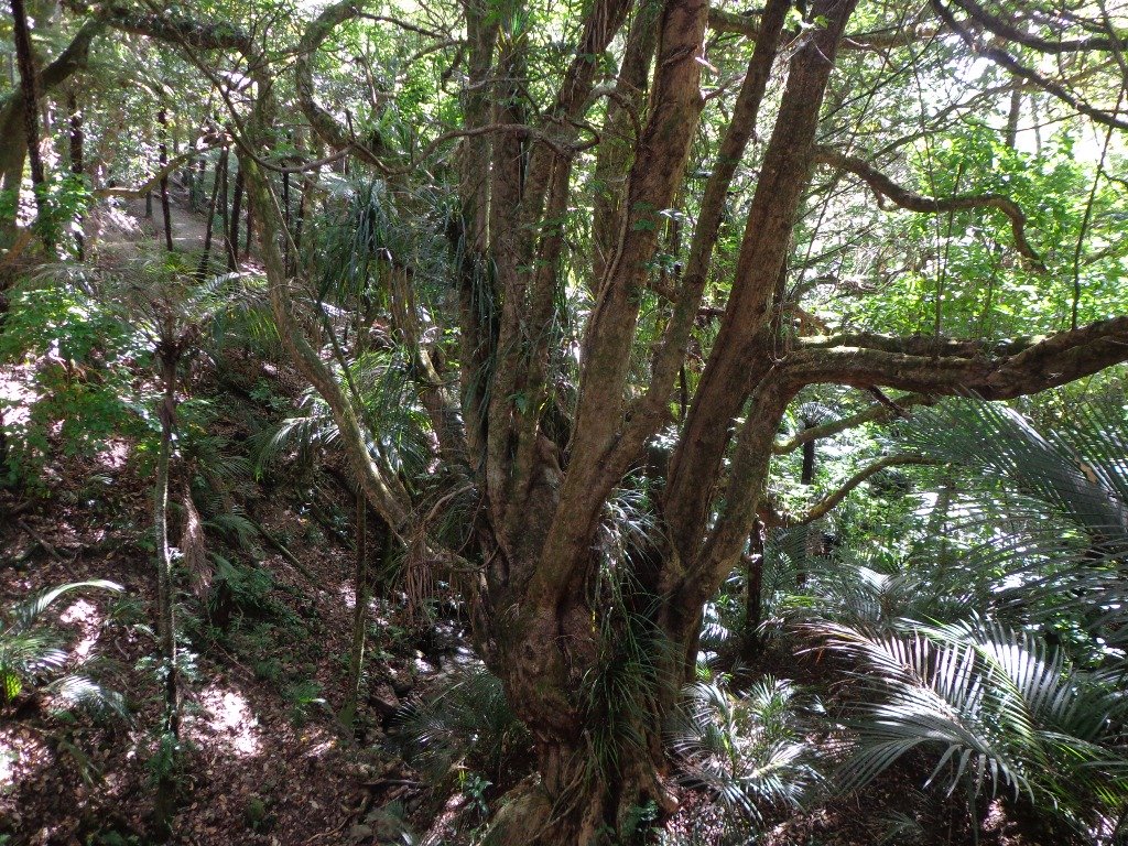
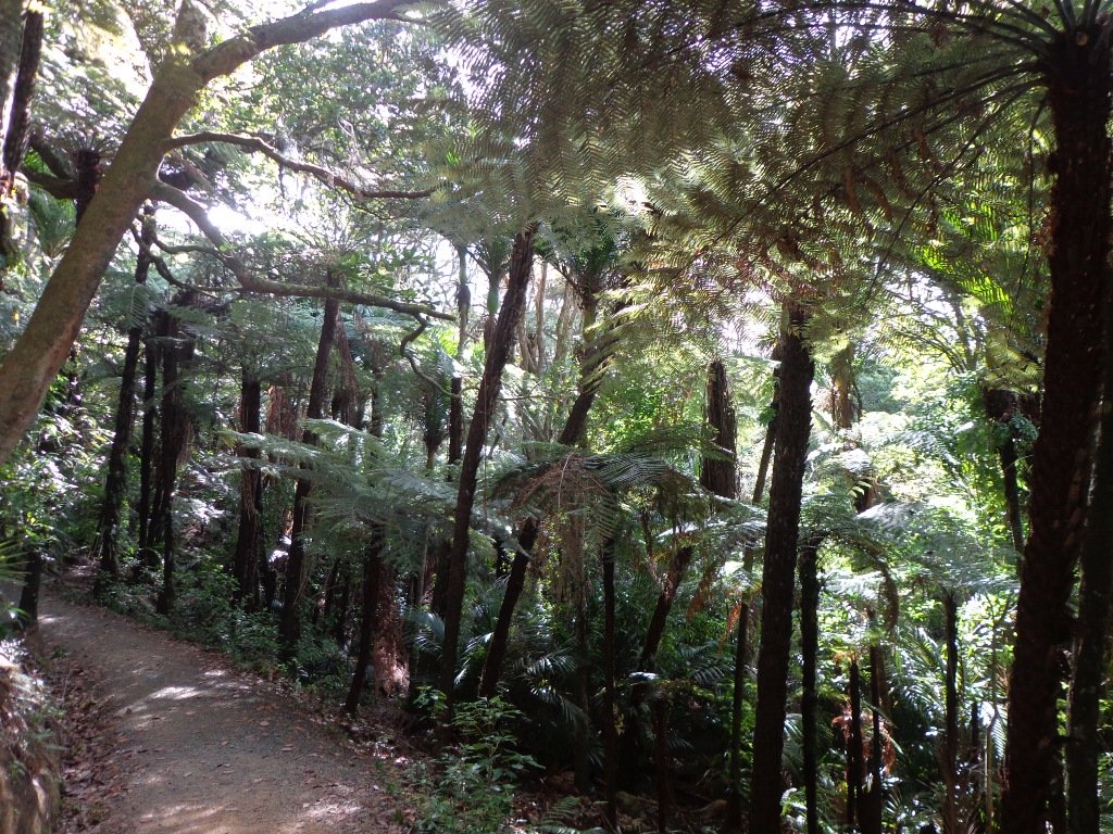
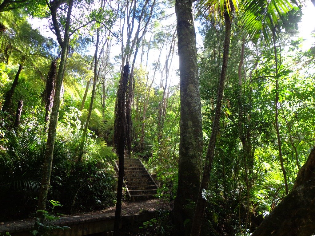
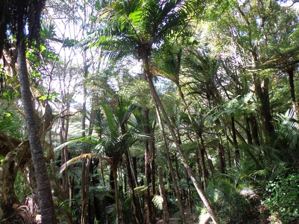
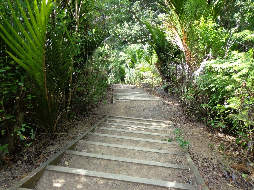
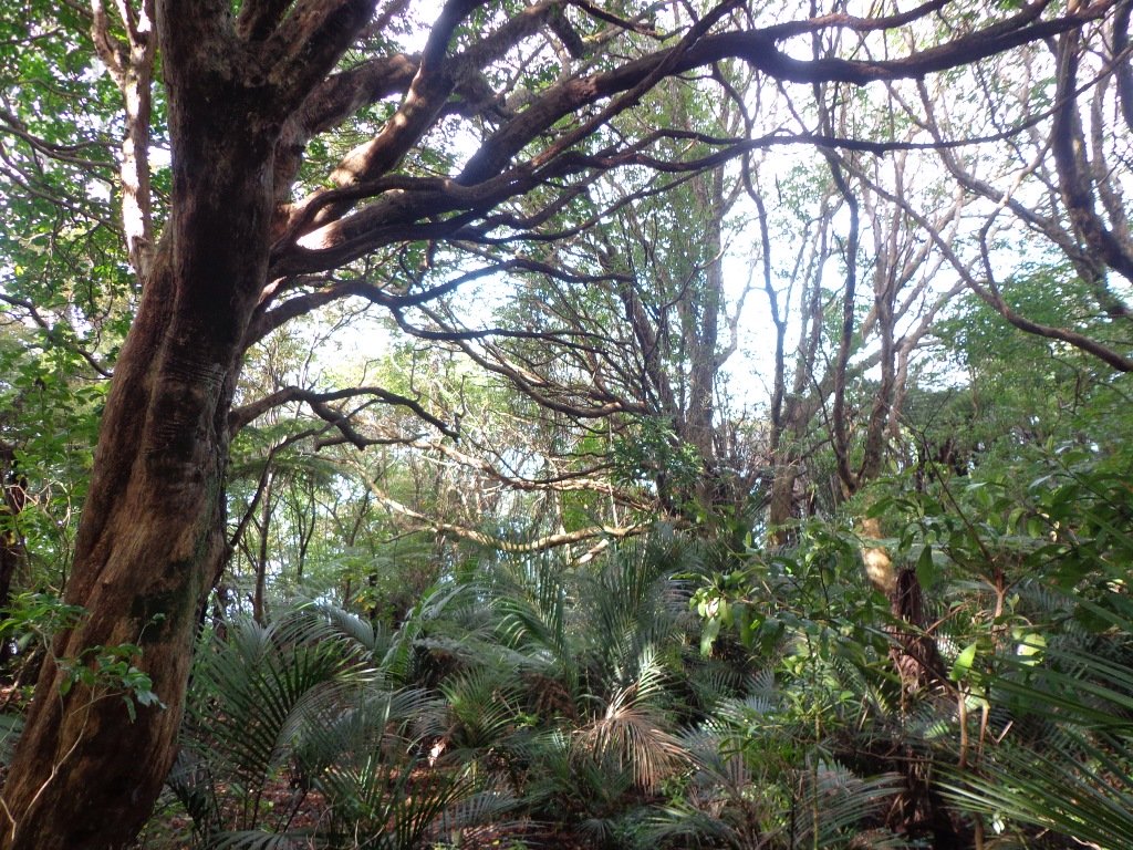
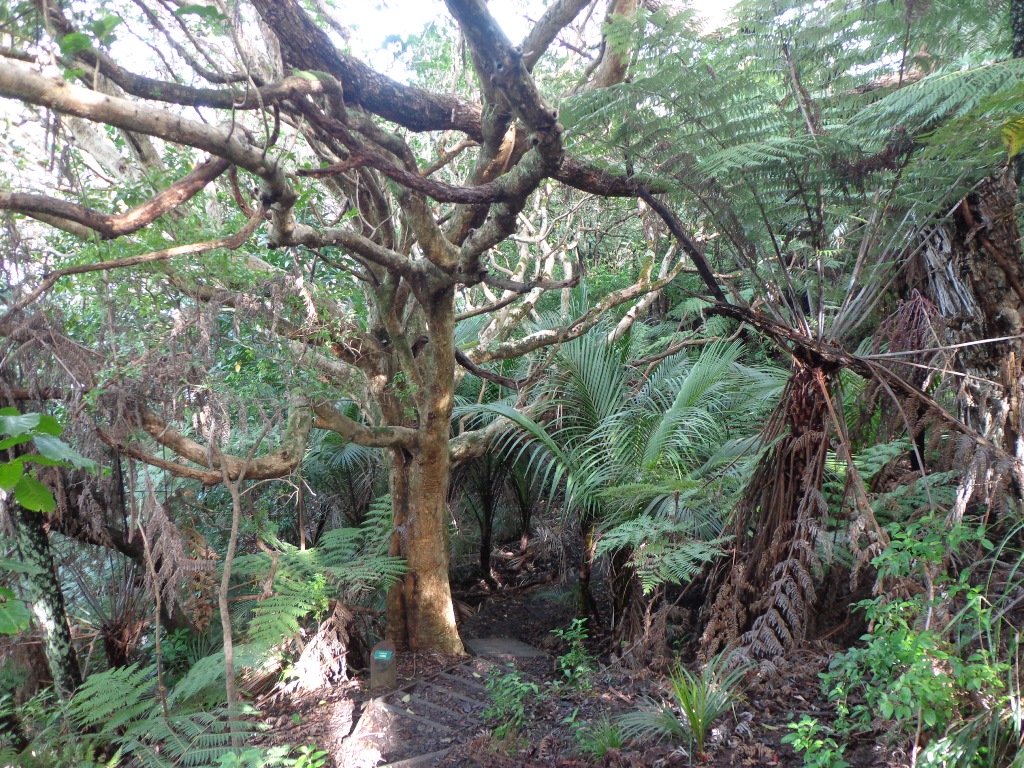
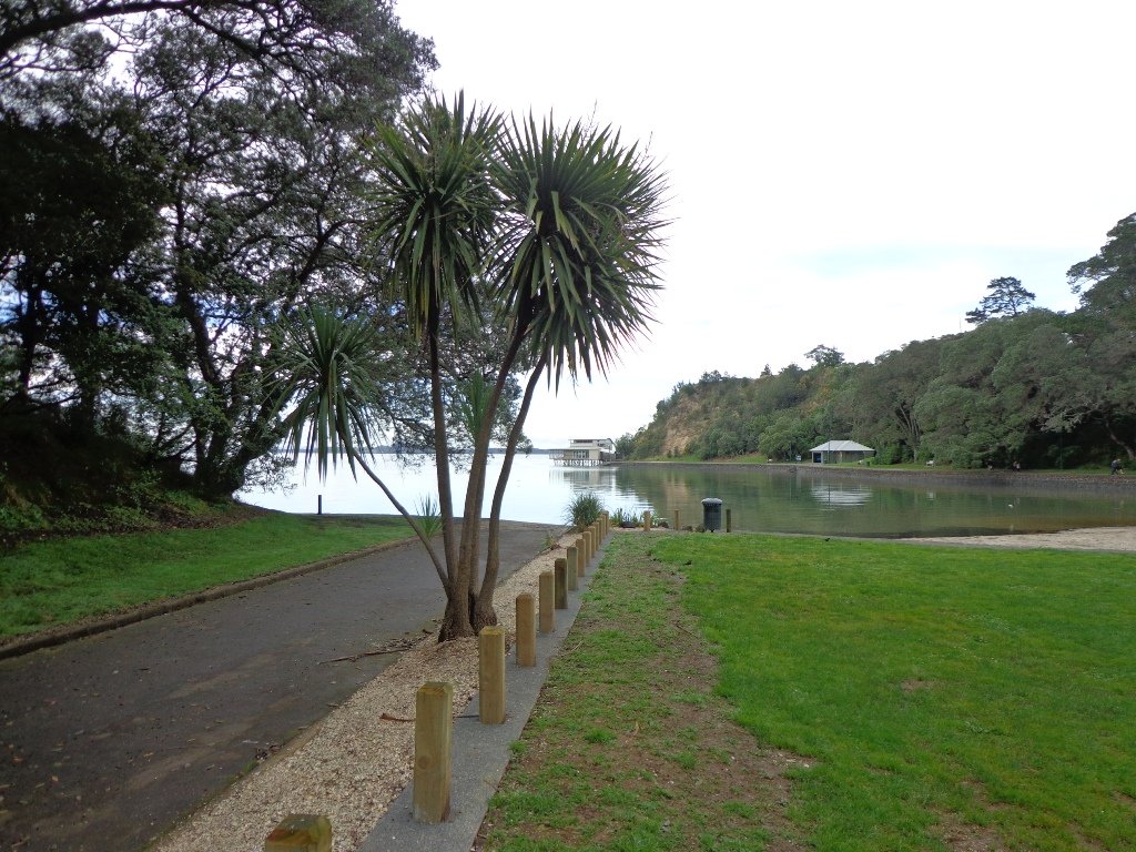
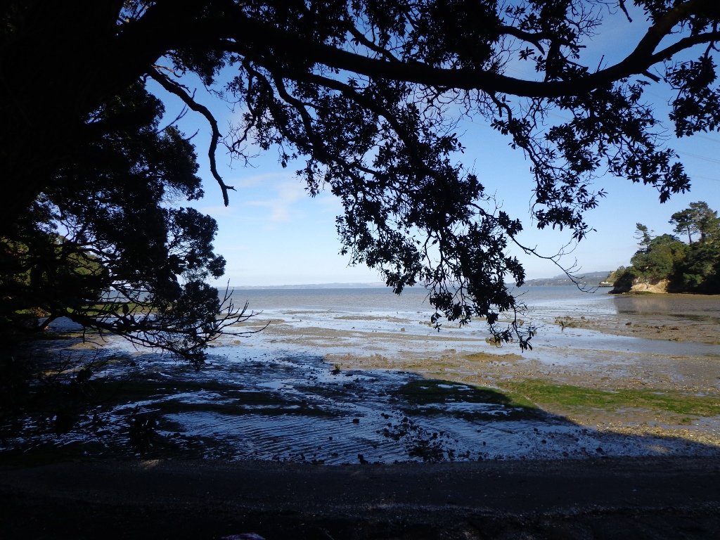
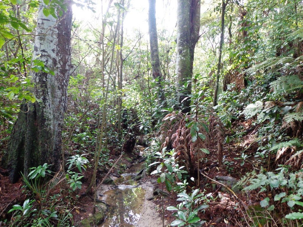
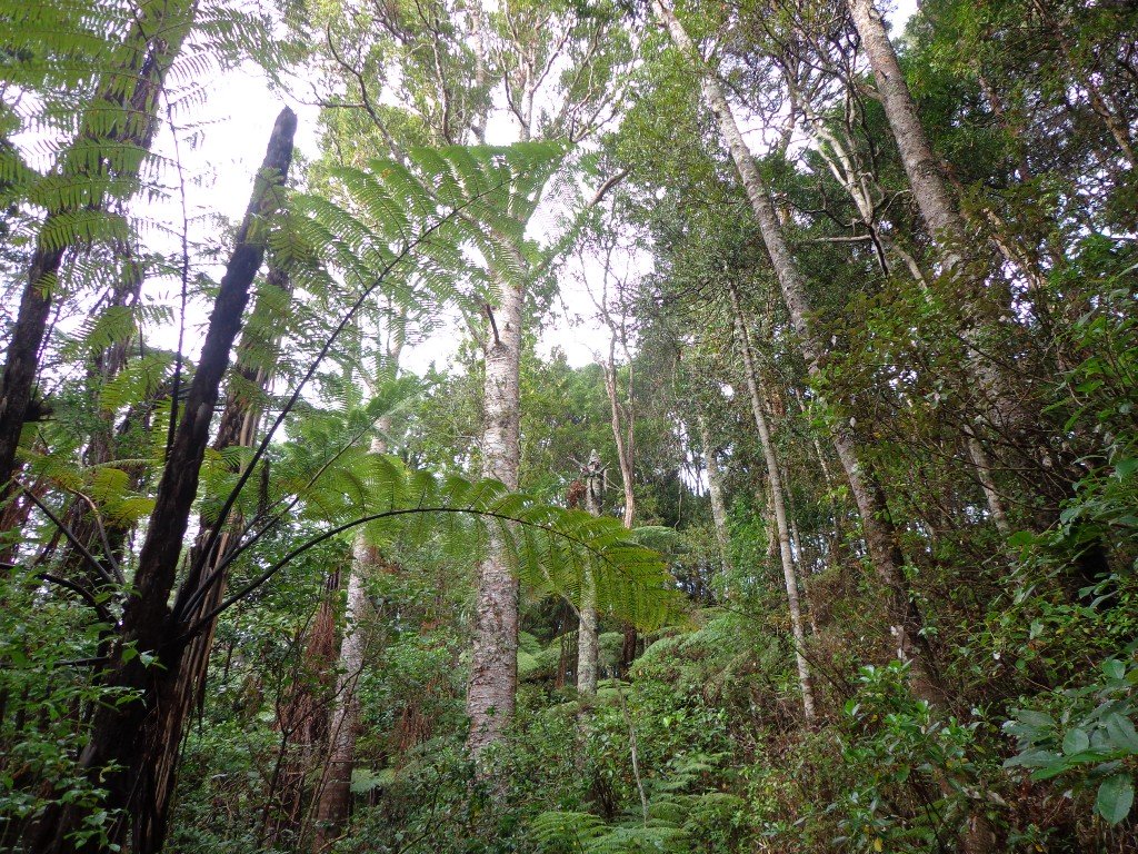
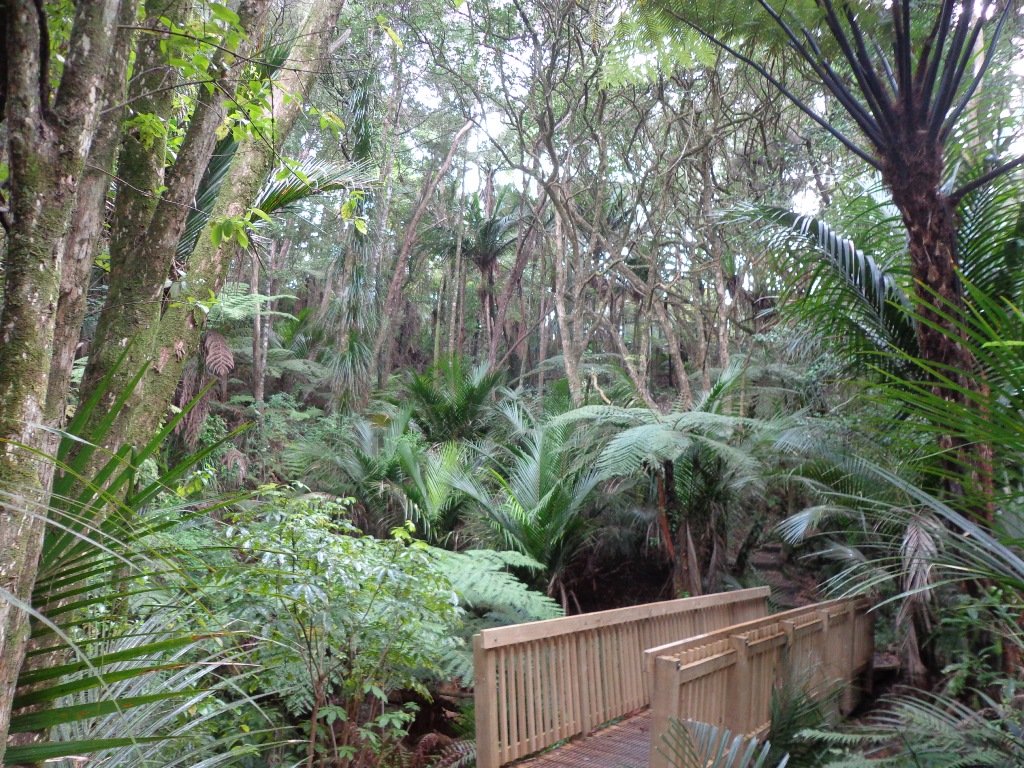
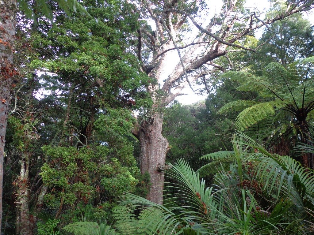
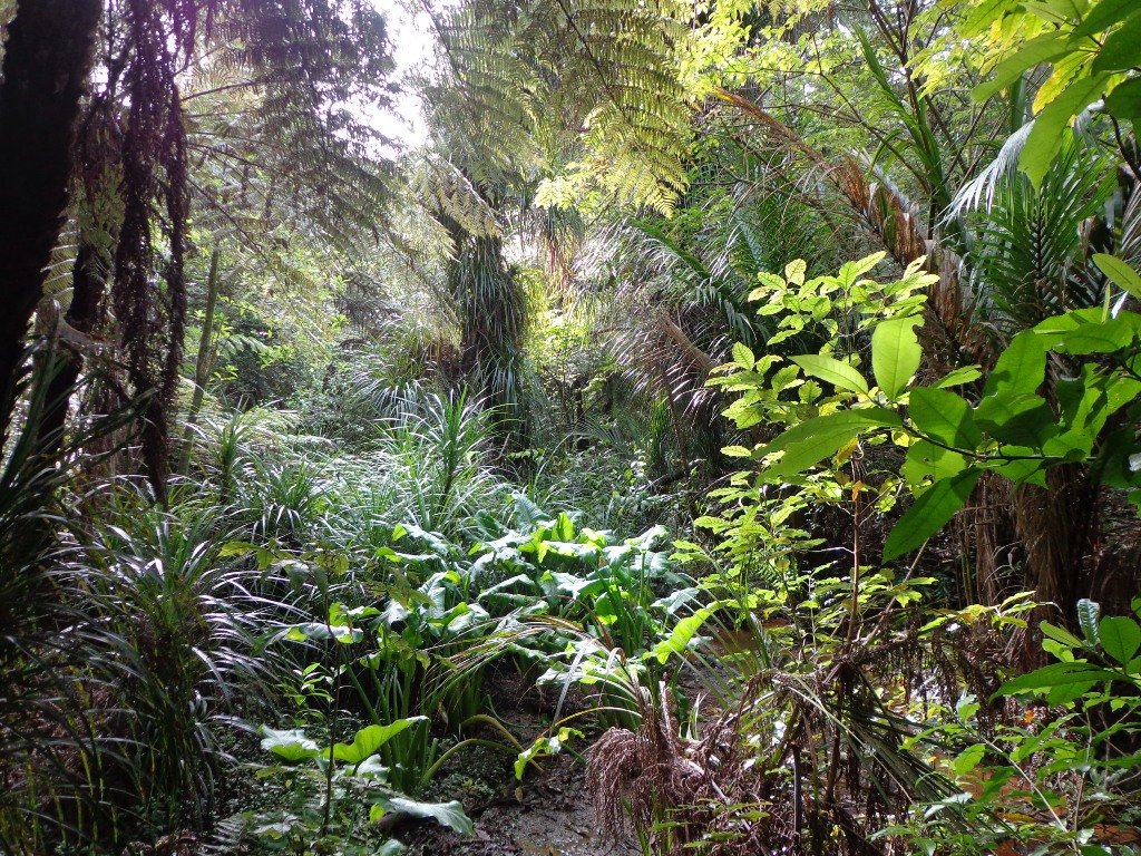
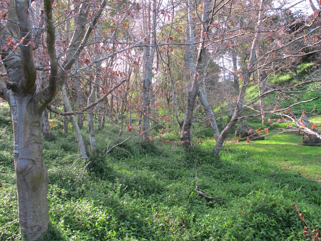
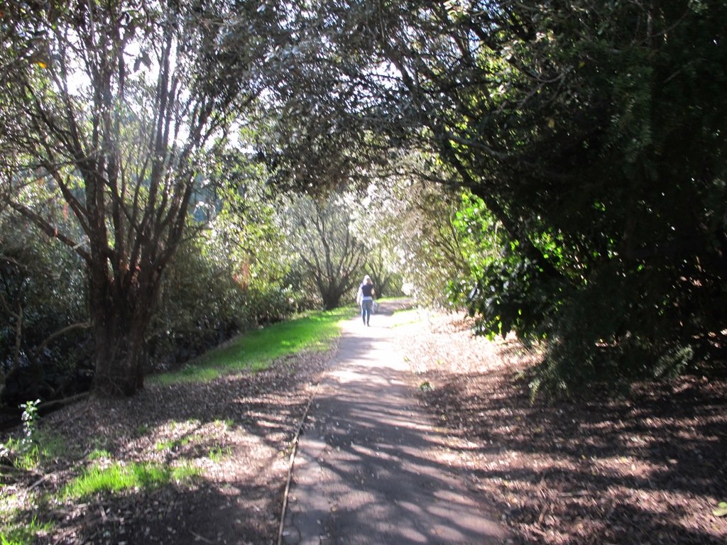
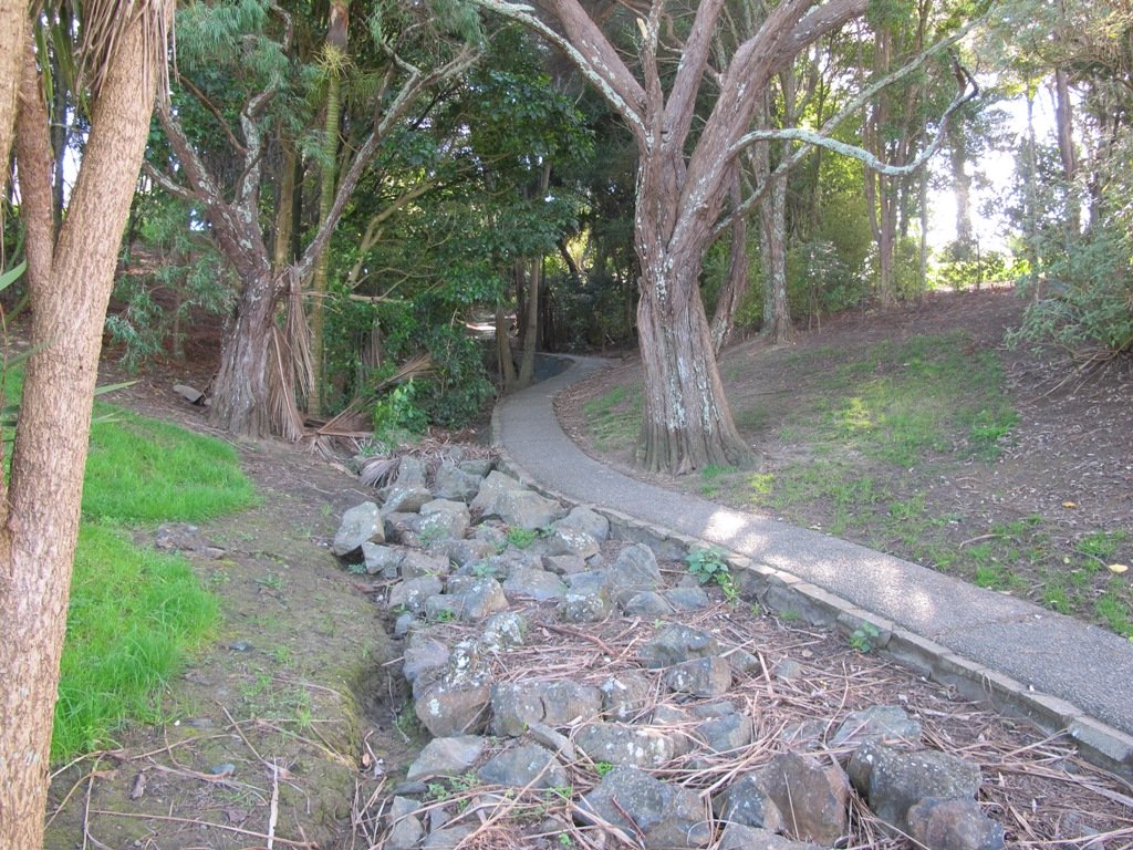
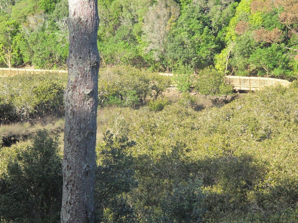
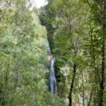
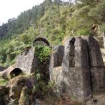
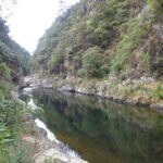
And then, in the middle of the reserve is regenerating native bush – taraire, karaka, puriri, rimu, totara and kahikatea trees; as well as tree ferns, kanuka and nikau palms.   What a treasure this reserve is.

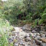
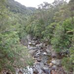
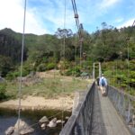
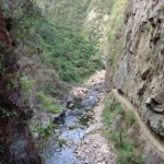
A tributary of the Mangemangeroa Creek runs through the steep gully (we were told there are 500 steps on the Koura Track).

Our 3km loop walk does require a good level of fitness – due to the steep steps.  Dogs must be on-leash in the bush areas, and off leash in the open areas.

Further information is at the greataucklandwalks website.

You can download the Auckland Council Point View Reserve brochure here.

Description: Mix of level and steep paths, with a series of steep steps. Suitable for good levels of fitness and mobility, designed with flat shoes or running shoes in mind. Not suitable for pushchairs.
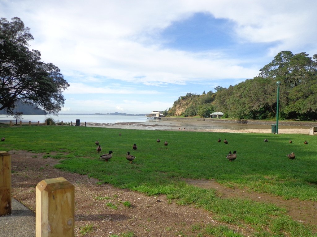
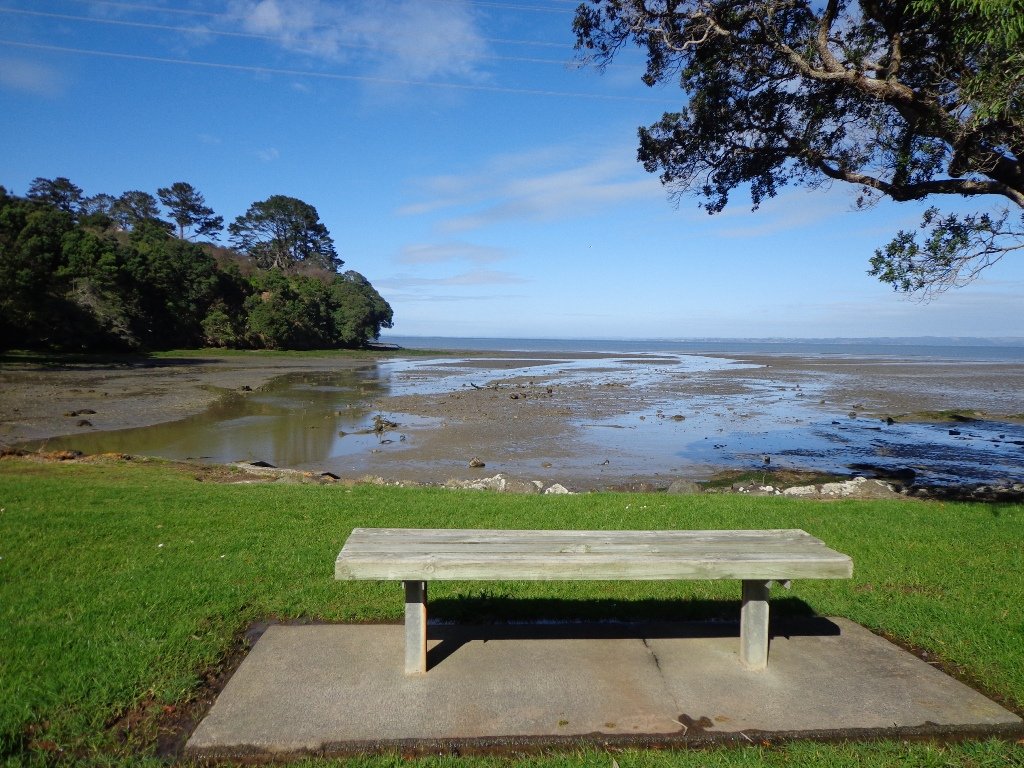
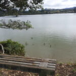
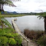
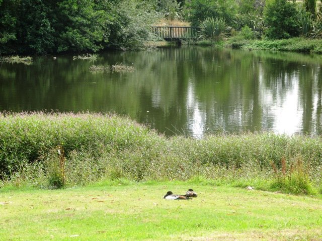
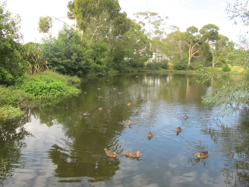
To see: Views of Auckland City and countryside, bush and birds.
Time: approx. 45 to 60 minutes (about 3.16kms). Plus exploring time.
Parking:  Corner of Caldwells Road and Point View Drive. MAP

Best of the South: Short walks in Auckland

Stay on track… Find this walk (AS-097 Point View Reserve Loop) and other walk brochures with map and directions at our Walk Store . One of 12 walks in our book “Best of the South” available from our Book Store.

Blockhouse Bay Tiriwa walk

The Blockhouse Bay Tiriwa walk in Auckland follows the high cliff edge alongside Manukau Harbour to Green Bay Beach and then continues inland to Craigavon Park.

This is another newly discovered gem for us.  The  Pathway of Tiriwa (Te Ara O Tiriwa) is named after a Maori chief who lived in the area pre-canoe days.  The pathway takes you through Punga ferns and mature Puriri trees.  Native pigeons feed here in summer months.

There are steep steps  down and up the small gullies along the pathway, and the track was muddy today but not too bad (best to walk in dry weather).

The Block cafe at Blockhouse Bay

We stopped for refreshments at the newly opened The Block cafe in the main street of Blockhouse Bay.  What a wonderful “buzzy” community friendly place – and the menu looked mouth watering.  The brunch plates that were being served looked generous.

Dogs – this walk includes an off leash dog exercise area in Craigavon Park.

This walk also includes children’s playgrounds, picnic spots with BBQ’s, a fitness trail, public toilets – and hungry ducks to feed.

Description: Bush track, steps, inclines.  Muddy in places when wet.  Suitable for users of average fitness and mobility.
To see:  Native bush,  views across Manukau Harbour, native birds
Time: approx. 60 minutes. (about 5.0 kms).
Parking: Blockhouse Bay Reserve
Buses: Blockhouse Bay Road MAP

Stay on track…get your detailed guide and map over at our Walks Store  (AC-087 Blockhouse Bay Tiriwa Walk) and from our …

Book Store (one of 12 walks featured in our books “Dog Friendly Walks part  2″  and “Best of the West“).

Click photos to enlarge.

Lynfield Coastal Walk

The views across to Blockhouse Bay and Manukau Heads in the far distance along the Lynfield coastal walk this morning, were spectacular! The sun was shining, the sky was clear and the tide (check here for tide times) was almost full.

Lynfield Coastal Walk © 2011-2013 Unleashed Ventures Limited

This was an explore walk for us – trying to work out the best circular route without too much street walking.  The route has a few steep ups and downs, which makes it a good workout. We met some people who were walking their dog off leash along the reserve.

July 2016 Update: The sculpture “Open Stone” by late Japanese sculptor Hiroaki Ueda is now on view in the Manukau Domain, Lynfield.

Description: Bush track, steps, inclines. Muddy in places when wet. Suitable for users of average fitness and mobility.
To see: Native bush, views across Manukau Harbour, native birds.
Time: approx. 45 minutes. (about 3.75 kms). One small children’s playground. Dog friendly off-leash in Manukau Domain (alongside the Lynfield Cove Walkway).
Parking: Himalaya Crescent, Lynfield.
Buses: Halsey Drive, Lynfield MAP

Stay on track…find this walk’s map and directions guide (AC-086 Lynfield Coast & Bush Walk) and other walk self-guides at our Walk Store.

Northcote Tuff Crater Loop

This loop walk that takes in Northcote’s volcanic Tuff Crater and Onepoto Domain is based on one from Margaret Scrymgeour’s booklet “Explore the Shore”.

Onepoto Domain Northcote

We started the walk from the children’s playground area at Onepoto Domain.  We had heard about the children’s cycle track and it is a really safe place to bring young children and their bikes.  The playgrounds looks like a lot of fun too (it has a flying fox).  It is a great place to have a picnic, feed the ducks and an ideal spot for parenting groups to meet up.

Onepoto Basin is another of Auckland’s explosion craters and it is the oldest dated, erupting about 250,000 years ago. The Maori name “Onepoto” means small beach (named after Halls Beach near Northcote Point).

Tuff Crater is another explosion crater (this one is filled with water), which is being restored to its natural state with a balanced ecosystem of native plants and wildlife, all with volunteer help. It was formed by explosive eruptions around the same time as Onepoto.
For more information about the Tuff Crater, you may wish to view this video. (please note that our loop walk includes part of the Tuff Crater. There are future plans to build a circular walkway completely around the Tuff Crater).

Tuff Crater - dogs on leash only

Dogs may be off-leash on the track within the Tuff Crater Reserve (according to Auckland Council  Bye-laws Department re phone call 3/6/2014).  There is a risk that they could disturb endangered bird life, so please keep them under control.  We do have a request for dog owners to pick up litter (as we did come across litter).
PLEASE NOTE: As of the 29th October 2014 the new dog rules for Tuff Crater – Dogs prohibited within the foreshore (mangroves) of Tuff Crater; on-leash on track around reserve.

Description: Bush tracks, steps, inclines. Muddy in places when wet. Suitable for users of average fitness and mobility.
To see: Native bush, views across Auckland Harbour, native birds, volcanic crater
Time: approx. 60 minutes. (about 5.0 kms). Dog friendly, but on leash only.
Parking: Onepoto Domain, Northcote.
Buses: Onewa Road, Northcote MAP

P1 Dog friendly walks in Auckland

Google Maps for
Onepoto Domain &Tuff Crater

Stay on track…get your detailed guide and map  (AN-085 Northcote Tuff Crater Loop) over at our Walks Store and our Book Store (one of 12 walks featured in our book “Dog Friendly Walks part 1”).

Bayview Giant Kauri Walk

***** ATTENTION Kauri Dieback has been identified on Auckland’s North Shore. Auckland Council will look to close tracks soon. As this Kauri tree in Lynn Reserve is the largest Kauri on the North Shore, and of significance to our community, you are asked to not visit this track. When walking near any Kauri, your shoes must be so clean you could ‘kiss’ them. Please protect our Kauri. The best way to help is to not walk near them.
Danielle Grant – Deputy Chair Kaipatiki Local Board ****

Bayview Giant Kauri tree © 2011-2013 Unleashed Ventures Limited

We returned to Bayview on the North Shore to complete a circular walk in a different direction to our previous Bayview Coast and Bush Walk.

Today’s walk starts off in Lynn Reserve, and heads up a bush filled gully with a small stream, to a giant Kauri tree (over 2 metres in diameter and is said to be about 800 years old) among a grove of smaller kauri trees which are growing in Leigh Scenic Reserve.  It is awesome!

The route joins up with the Glenfield Coastal Walkway and heads around to the boat ramp and Manuka Reserve at the bottom of Manuka Road.  Hearing the song of the tui birds as we slowly walked up the incline of Manuka Road gave us great encouragement.

This walk through the bush and along the Upper Harbour coastline is not only beautiful, it provides a great workout if you are into fitness. It is also a fun family walk that includes two children’s playgrounds, plus dog off leash exercise areas.

The new playground at Lynn Reserve looks great, and in the week since we last visited, a children’s ‘learn to cycle track‘ has been installed.

***Please note: September 2018 This track has been temporarily closed due to Kauri Dieback

Description: Bush track, steps, inclines and board walks. Muddy in places when wet. Suitable for users of average fitness and mobility.
To see: Native bush, including Giant Kauri, small waterfalls, views across Auckland Harbour to Hobsonville Point, native birds.
Time: approx. 75 minutes. (about 5.8 kms). Dog off leash areas. Three children’s playgrounds.
Parking: Lynn Road, Bayview near Glenfield.
Buses: 111 Lynn Road, Bayview MAP

Grey Lynn Explorer

It was time to visit the newly opened (15th June 2013) Cox’s Bay Reserve boardwalk and to incorporate it into another circular walk to add to our collection.

Cox's Bay Reserve board walk © 2011-2013 Unleashed Ventures Limited

This walk explores both Cox’s Bay Reserve and Grey Lynn Park.
Cox’s Bay Reserve is made up of three parks – Hukanui Reserve where the new boardwalk is, Bayfield Park where you may wish to have your picnic, and the sports fields of Cox’s Bay Park. It is a mini-paradise for dog owners with off-leash dog exercise areas.

And it is family friendly too, with a selection of children’s playgrounds and picnic sites. It is a great place for joggers and people who like to use the outdoor fitness stations.

The wide open spaces, sculptures, playing fields, the creek, mangrove swamps, gullies, the bay itself, a field with cattle and tall mature trees surrounded by interesting residential housing, make this another walk that is full of variety.

Also of interest is the Kelmarna Gardens Nature Trail off Hukanui Crescent – A self-directed nature trail will show you chickens, vegetable gardens, a pony and young cattle, an organic orchard, beehives, worm farm, compost making, native trees and flax. The trail winds its way through the gardens, across paddocks and links to Cox’s Creek Walkway. The gardens were established in 1981 and have been organically managed for 32 years. The land is owned by Auckland Council for the benefit of the whole community.

For history information visit “Meanderings about Cox’s Creek”.

Dogs – Off leash exercise areas in Cox’s Bay Reserve and Grey Lynn Park (check signage for rules).

Dog friendly walks in Auckland - part three

Description: Paved walkways, steps, inclines and board walks. Suitable for users of average fitness and mobility. (Suitable for prams/buggies excluding the steps).
To see: Sculptures, playing fields, the creek, mangrove swamps, gullies, the bay itself, a field with cattle and tall mature trees surrounded by interesting residential housing.
Time: approx. 70 minutes. (about 5.58 kms)
Parking: Westmoreland Street West off Richmond Road, Grey Lynn.
Buses: Richmond Road, Grey Lynn MAP
Children’s playgrounds. Off-leash dog exercise areas in in Grey Lynn Park and Cox’s Bay Reserve (please read the signs).
Cafe: Bread and Butter

Stay on track…get your detailed guide and map over at our Walks Store  (AC-081 Grey Lynn Explorer) and our Book Store (one of 12 walks featured in our book “Dog Friendly Walks part 3”).

Coromandel Walks

The Coromandel and Bay of Plenty area has many fine documented walks, and brochures are available from various information sites including Katikati, Waihi and Whangamata.

Easter 2013 our small group did three walks:

Wentworth Falls (near Whangamata) follows the stream to the lookout and top of the Falls. It is a steady climb through native bush. Well worth the effort.
Read more: Wentworth Valley Walk

Karangahake Gorge (between Paeroa and Waihi) is an interesting place to explore. There are the remains of the historic gold mining industrial town amidst the native bush. There are many walking track options and there is now a new cycleway. Be sure to take a strong torch to explore the tunnels.
Read more: Karangahake Gorge Historic Walkway

The Bird Walk: Uretara Estuary & Yeoman Walkway at Katikati, follows the estuary out to the Bay. It is a flat walk and if you a keen birdwatcher, take along your binoculars and you will have the opportunity to observe shore birds in the estuary and the wetlands. The walk continues past the wetlands along the front of residential homes.
Learn more: Bird Walk: the Uretara Estuary & Yeoman Walkway

Easter 2014: This time we did a loop walk around Whangamata taking in the estuary, the river, the marina and the famous surf beach.

January 2015: Wharekirauponga Track

Point England Walk

Point England Reserve

We are not familiar with the Tamaki and Glen Innes area, so today was our first walk and explore. And we discovered beautiful Point England Reserve.  What a gem! We had no idea that there was a sandy beach here.

This walk offers great views of East Auckland and the Waitemata harbour and as the walkway passes through bush, mangroves and farmland. This route is a part of the 7.5km  Point to Point Walkway.

The walking route is also great for prams/buggies and dog walkers (on leash only).

The lack of rainfall has made the Omaru River smelly, so we do hope that will improve when it next rains.  Part of the path is in great need of maintenance.  We wonder if the local schools could adopt part of the walkway and learn how to maintain and enhance the bush and stream??? (The Omaru River is an outlet of Orakei Basin and runs underneath Meadowbank to Apirana Ave, through Maybury Reserve and out to Wai O Taiki Bay).
Update: a project was kicked off in June 2013. Read: Youth keen to save river

Description: Mostly level paths. Suitable for users of average fitness and mobility. (Take bread to feed the ducks)
To see: Estuary views, boats, wetlands, mangroves, residential housing, view of two volcanoes – Mt Wellington and One Tree Hill, Point England Reserve, Maybury Reserve feijoa trees
Time approx. 80 minutes. (about 7.0 kms)
Start: Glen Innes Train Station (or Point England Road Reserve at end of Point England Road)  MAP
Nearby Walks: Tahuna Torea, Waiaturua Reserve

Stay on track…get your detailed guide and map over at our Walks Store  (AE-059 Point England Walk) and our Book Store (one of 12 walks featured in our books “Coastal part 2” and “Best of the East”).

Northcote Point and Auckland Harbour Bridge

Walks in Auckland

I felt like a tourist in my home city this morning! The morning was stunning after last night’s opening of the Rugby World Cup 2011. The skies were blue and the water still in the harbour, with just a little mist left around the edges. I had not explored Northcote Point before (it would have been a fine vantage point for the previous night’s fireworks display).

We had not prepared a route – it was a discovery walk and we were well rewarded. Views of Auckland City. Dwarfed by the pylons of the Auckland Harbour Bridge. A new-found path along the motorway. And an interesting mix of old and new residential homes. Plus children’s playgrounds as a reward for children. All made for a fun walk.

Download the Council’s Heritage walk brochure here.

Description: A mix of level paths and steep paths/steps. Suitable for users of average fitness and mobility.
To see: Auckland City views, Waitemata Harbour views, Harbour bridge foundations.  See if you can spot Mt Eden, Mt Victoria and the Chelsea Sugar Refinery.
Time: approx. 70 minutes. (about 5.85 kms).

Coastal walks in Auckland book (part 1)

Stay on track…get your detailed guide and map  (AN-021 Northcote Point Loop) over at our Walks Store and our Book Store (one of 12 walks featured in our book “Coastal part 1”).

Devonport and North Head Loop Walk

One of my favorite walks in Auckland is North Head and Devonport. There are many things to do and see in Devonport Village and the views from North Head are magnificent.

Catching the ferry across from the city adds to the experience. This brings back memories for me when my children were little and we caught the ferry to Devonport, they played in the playground and we followed that with take-away fish and chips eaten at the beach. As they got older they enjoyed visiting the shops especially the second-hand books shops. When we walked around North Head we missed out on seeing the many tunnels and gun placements because we did not know they were there. Our self-guides take you around North Head so that you do not miss out on the fun bits.

When Grace and I set out for Devonport this morning we did not realize that the Wine and Food Festival was today. It started at 1pm so it was fortunate that we did not leave the walk until the afternoon.
It is a glorious summer day and we wished we had brought our swimming togs to join others in the sparkling water at Cheltenham Beach. However, we were there to check out my walking directions and to take photos – and we did succeed doing that and had fun too.

If you do head out to North Head be sure to bring a torch with you to explore the tunnels and batteries. And your camera to capture the wonderful views overlooking the Hauraki Gulf.

Use this DOC brochure to find your way around.

We discovered the newly opened (October 2010) Torpedo Bay Museum and cafe at the base of North Head. Entry to the Museum is free and there are guided tours. The cafe sits in a great location overlooking the water with no traffic to hinder the prime view.

More: Devonport Walks and Trails 

Description: A mix of level paths, steep paths and steps. Suitable for most ages and levels of fitness and mobility, designed with flat shoes or running shoes in mind. Not suitable for wheelchairs and pushchairs.
To see: Volcano, tunnels, military defenses. Wonderful views of Rangitoto, Hauraki Gulf and Auckland City. Be sure to bring a torch to explore the tunnels.
Time: approx. 60 minutes.
Start: In Devonport Village near ferry terminal or along King Edward Parade. MAP

Suggested Cafés: 1) Torpedo Bay Cafe 
2) Along King Edward Parade
3) Many in Devonport Village

12 Volcano Walks

This walk has something for almost everyone… how about you?

Stay on track…get your detailed guide and map (AN-005 North Head Devonport) over at our Walks Store  and our Book Store (one of 12 walks featured in our books “Volcanoes” and “Coastal part 1”).

Walks in Auckland – Mt Eden/Maungawhau

Mt Eden/Maungawhau is one of the many volcano walks in Auckland, and one of the most popular places to visit.

Mt Eden boasts spectacular views of the city centre and surrounding region. Most people take a coach to the summit, hop out, take photos and then get back on the coach again.

Today, Grace and I walked around and over the summit in the summer humidity.

There are some shady tracks that do give relief from the heat. These tracks can be slippery when wet so we advise suitable footwear. Mt Edens walking paths and tracks are not as developed as the ones in Cornwall Park. It feels like more of a country walk than a city walk. But it does allow us to do the Mt Eden ‘Round the Maunga walk’.

As I mentioned the views are spectacular. Which is the highlight of this walk, as well as of course, getting the outdoor exercise. This is an excellent workout walk for people who are watching their weight because of the steep inclines and steps.

For visitors who have to choose between visiting One Tree Hill and Mt Eden – One Tree Hill is a larger area with more to see, sheep and cattle, a cafe plus a fine view from the summit. Whereas Mt Eden has a huge crater and a fabulous view of Auckland City. There is a good choice of cafes in Mt Eden Village, a children’s playground and an off-leash dog area.

Auckland City provide a Mt Eden Heritage brochure for people who enjoy history.  More info online here.

Find this walk and other walks in Central Auckland here.