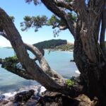
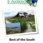
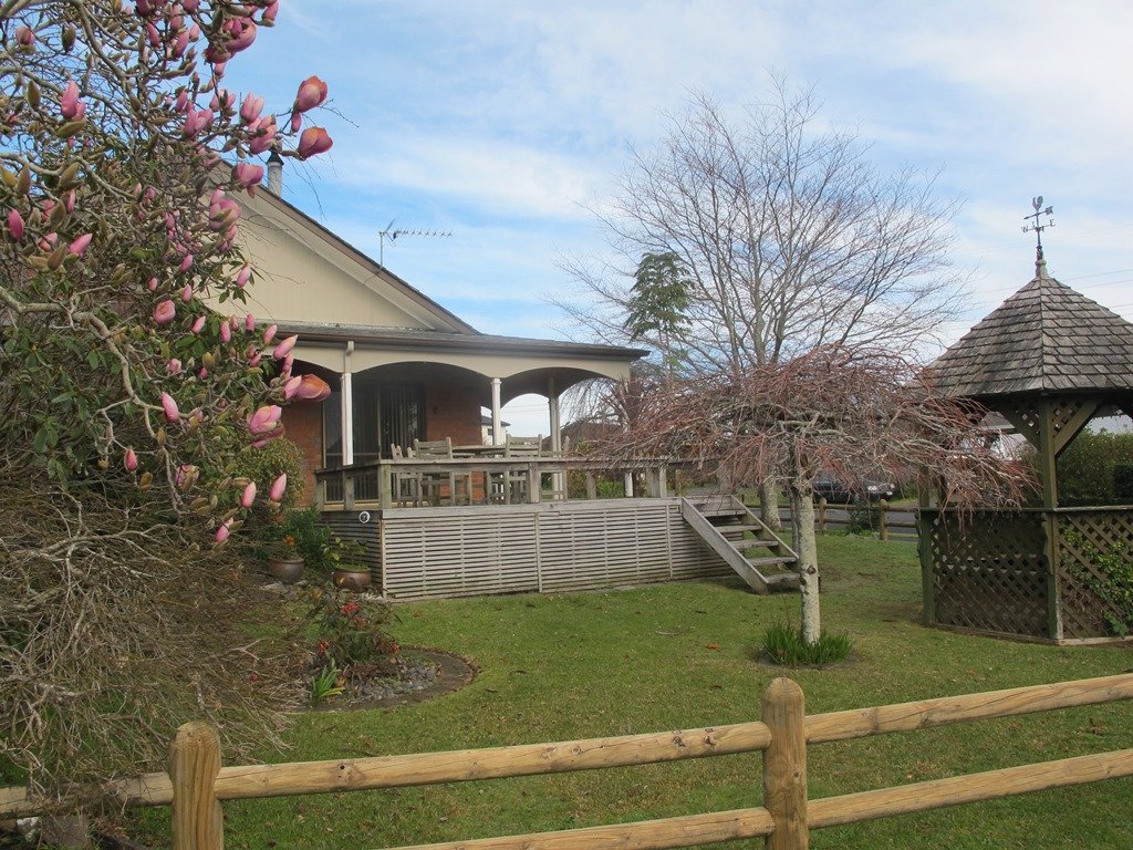
Heading to south Auckland takes you on walks to the shores of Manukau Harbour, a view from a volcano, a visit to a working farm, the home of Dotterel and other shore birds and more. Then further on to The Auckland Botanical Gardens and Totara Park for a taste of a wide variety of vegetation.
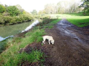
Beautiful spring sunshine, great friends, our dog and a simply wonderful track and environment. Today we enjoyed walking the long-version of the Puhinui Stream Forest Loop – great native bush, parklands of Totara Park and a picnic – the kids even had a swim in the stream, not really a swimming paradise but lots of fun!
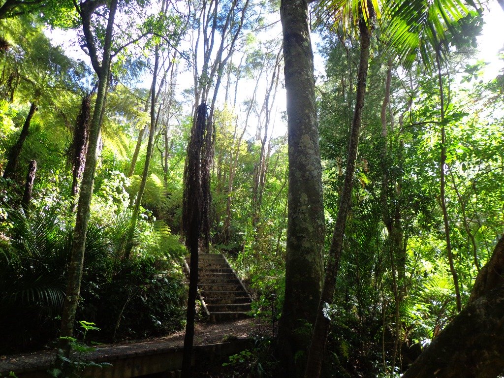
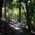
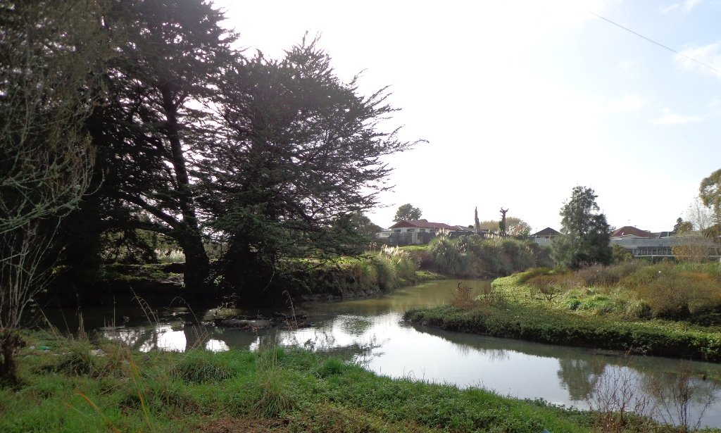
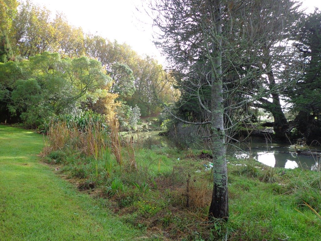
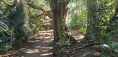
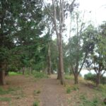
This walk is through an extensive site of native bush alongside Totara Park & the Manurewa Botanical Gardens is beautiful, challenging and interesting. The most common access for this loop track is from Everglade Rd, which has plenty of parking. An interesting aspect of this walkway is a large flight of stairs at the turn-around point of the loop. The northern side of the track has a number of steeper sections and more stairs. The southern side of the track is largely flat and follows the Puhinui Stream. Continue reading Puhinui Stream Forrest Walk→
Mangere Mountain and Domain are one of Aucklands true gems to explore. It is full of spectalular views of Aucklands Harbours and City, as well as many geological and history highlights. Our recommended route requires a good level of fitness as the loop encounters a range of steep slopes and uneven terrain. There is a good pathway to the summit on a braod track suitable for buggies if you walk the route clockwise, however this is only out & back and misses many interesting features of this mountain.
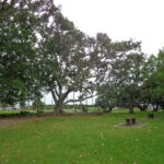
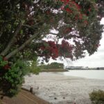
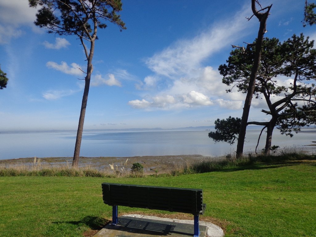
Seaside Park at Otahuhu is a small and delightful park. It is off on a limb and shares views of Tamaki Estuary with Highbrook Park.
Seaside Park provides native birds and other wildlife with habitat expansion and protection as the wildlife refuge area protects bird species and other wildlife, such as native skinks, from predators and gives them an undisturbed home.
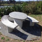
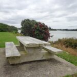
The loop walkway is less than 2kms, but it is a great place for dog owners to exercise their dogs. There is a children’s playground and picnic tables.
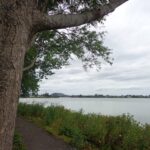
You can start the walk at the playground – head down to the path alongside the estuary and keep following it around until you return to the sports field.
We like to find excuses to head to Mangere Bridge for a walk. The village has a vibrant atmosphere, as the cafes that spill out onto the pavement bring the village to life and there are always visitors. Sunday mornings are market days which bring in extra visitors.
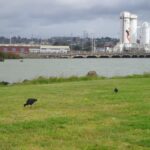
On a fine day the view of the Manukau Harbour is brilliant, and if you are lucky there is interesting bird life to watch. During the summer months, we like to stop and get fresh veggies (and strawberries) from the market gardens in Kirkbride Road.
Today we embarked on a new buggy friendly loop walk that we had overlooked on previous visits. This one starts (and ends, of course) at Mangere Bridge Village, and heads around the harbour edge, under the motorway bridge, partly through the industrial area, along the base of Mangere Mountain and returns along the Kiwi Esplanade.
Description: Mainly level paths, including ramp to bridge over the motorway. Suitable for users of average fitness and mobility. To see: Views of Manukau Harbour, One Tree Hill, Mangere Mountain; Pukeko and shore birds habitat. Time: approx. 60 minutes. (about 5.5 kms) Start: Coronation Road, Mangere Bridge MAP
It was low tide this morning as we walked around the Pahurehure Inlet at Papakura. The frosty ice crunched under our feet when we started our walk, and yet it did not take long for our bodies to warm up after the cold start to the day.
Part of the Pahurehure Esplanade walkway has slipped into the estuary at one point, but we managed to find a short detour. This walk is full of contrast – the quietness of the tree lined suburban streets and the reserves, the busy noise of the Southern Motorway, the happy sound of sports grounds in use on this Saturday morning, the peacefulness of the estuary path along Pahurehure Inlet.
Suggested cafes (from a friend who lives in the area): In Papakura there’s the Robert Harris which is probably the best coffee, and then there’s the local Pizza Box – they have some good dishes and a good selection, and their coffee is quite good too.
There is a children’s playground in Ray Small Park. Please check signage for off leash dog exercise areas.
Description: Mostly level paths with a short run of steps. Suitable for most ages and levels of fitness and mobility, designed with flat shoes or running shoes in mind. To see: Papakura Inlet coastal views, shorebirds, parks and sports field, residential streets. Time: approx. 80 minutes (about 6.4 kms). Start: Wharf Street, Prince Edward Park. MAP
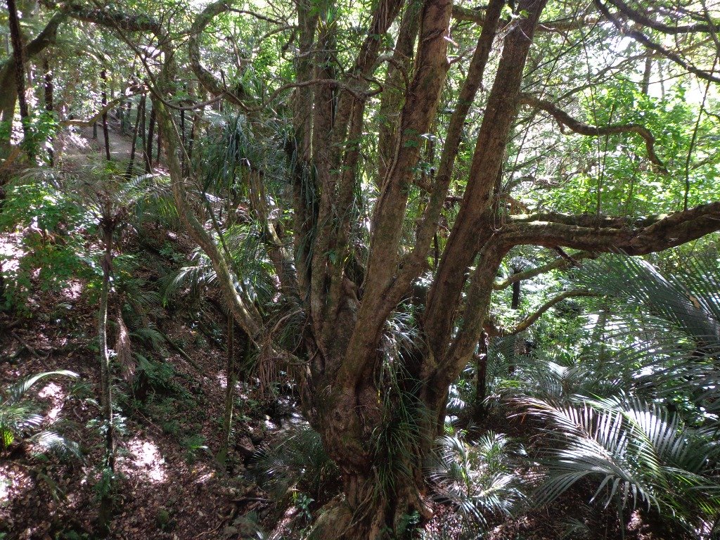
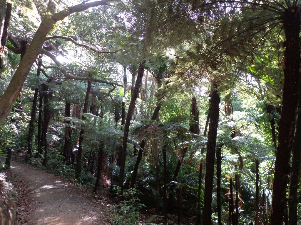
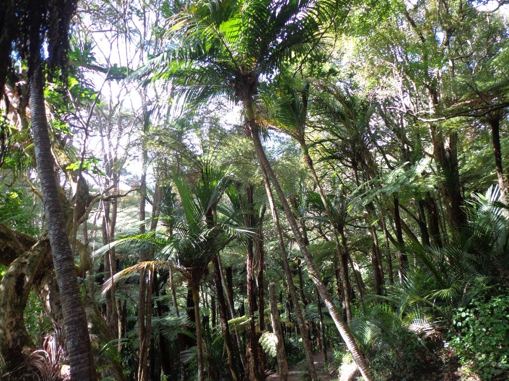
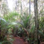
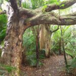
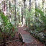
After a walk around the nearby man-made Sir Barry Curtis Park, we retreated to the native bush of Murphys Bush Scenic Reserve.
There is a variety of walks through the mature native bush with stands of Kahikatea, Puriri, Totara and Rimu, as well as groves of nikau palms. The tracks can be muddy in places, especially after rain, as there is a stream. Walks take from 10 minutes to one hour and are suitable for everyone. The walking route is great for prams/buggies and dog walkers (on leash).
Listen out for the sounds of native birds such as Wood pigeons, Morepork and Tuis and be humbled by the height of the tall, straight trees. It is easy to get “displaced” despite the signage – as there is more than one car park and picnic area.
We have not documented this walk as it does fulfill much of our criteria, even though the bush is worthy of exploring.
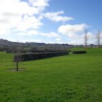
Sir Barry Curtis Park in Flatbush was opened in 2009 after previously being used for farmland (and some of the farm’s old stone walls remain). Today was our first visit. The walkways are extensive but many of them come to a sudden dead-end. Random hills with no paths. And extremely muddy after rain (today we got mud splashed to above our knees!). As it is a new park, there is a lack of mature trees.
It appears that a great deal has been spent on structures and walkways in this park, and apart from the children’s playground and skateboard park, there is nothing to attract walkers. We would have liked to have seen gardens and a cafe for starters. And an off leash dog exercise area. However it looks as though it is a fun place for children to ride bikes and scooters. The walking route is also great for prams/buggies.
Barry Curtis Park is still a “work in progress” and we hope that it will be improved upon. MAP
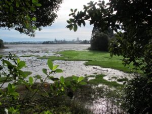
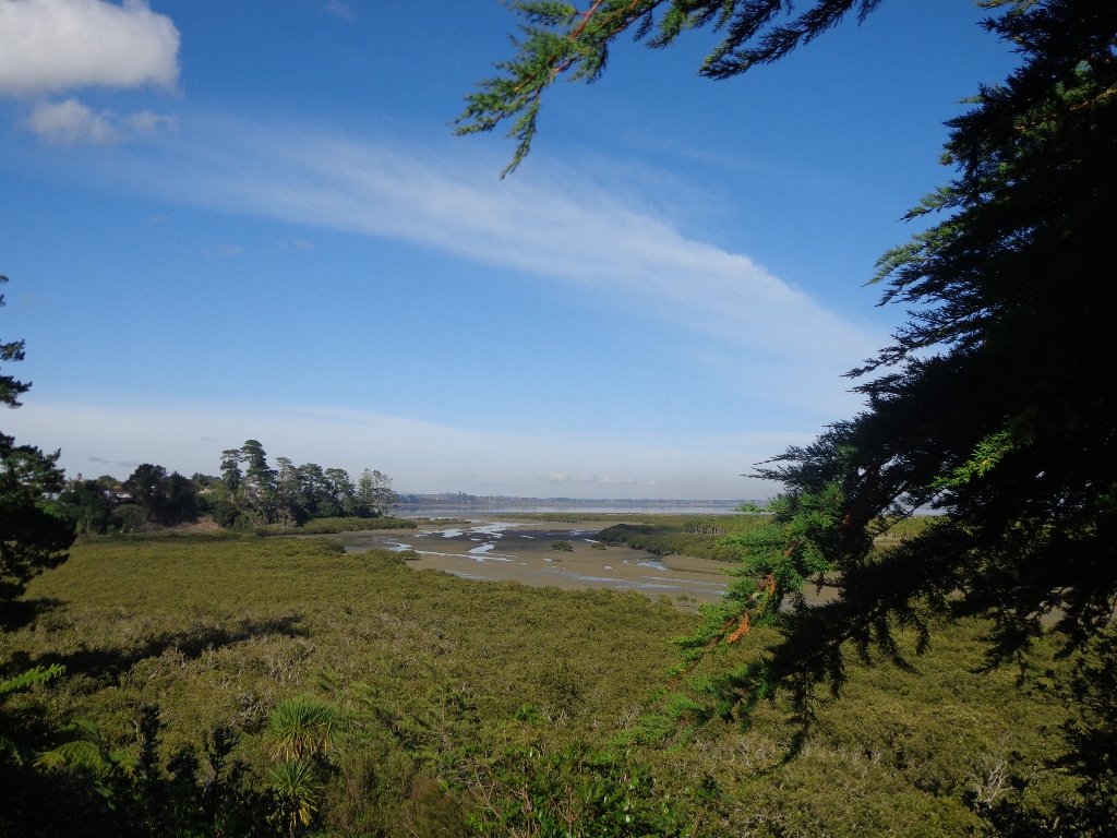
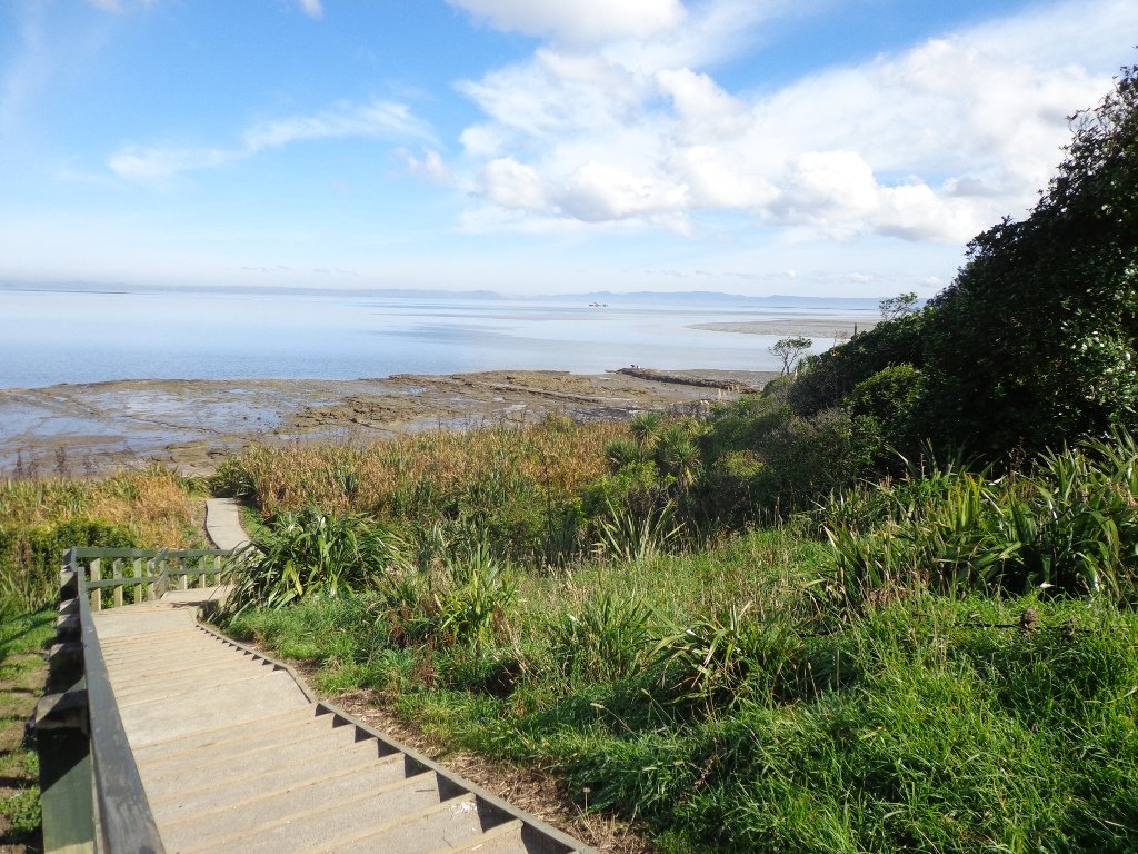
The Weymouth Walkway south of Auckland, is a mainly flat (suitable for wheelchairs and pushchairs), concrete paved path that follows the coastline of Manukau Harbour and the Puhinui Creek mangrove forest inlet. At low tide you may be lucky to see the shore birds while you explore the exposed rock pools. The views at high tide on a fine day are spectacular – look west to see Manukau Heads, north to Matukutūruru (Wiri Mountain) and south to Kingseat.
There are reserves and playgrounds adjacent to the walkway that lend themselves to picnics and places to stop to breath in the beauty. The walking route is also great for cyclists, prams/buggies.
We looked for signs for dog walkers but saw nothing to indicate on or off leash areas. However, in the “Our Auckland May 2014” publication page 18, it states: “Dogs must be kept under control and away from local wildlife, and are not permitted on adjacent sports fields or near playgrounds.” Please check with Auckland Council for the current dog rules.
Description: Mostly level paths. Suitable for most ages and levels of fitness and mobility, designed with flat shoes or running shoes in mind. Suitable for pushchairs. To see: Manukau Harbour coastal views, shorebirds, mangrove forest, historical sites. Time: approx. 90 minutes (about 7.5kms). Plus exploring time. Start: Hanford Place, Clendon. MAP
Stay on track…find this walk’s map and directions guide (AS-101 Weymouth Walkway Loop) and other walk self-guides at our Walk Store and from our Book Store: one of 12 walks in our book “Best of the South”.
Mangere Bridge Village is a great little spot to start exploring Auckland’s Manukau Harbour area on our loop walks. There is a rich variety of things to see – with over 10 volcanic craters and cones, as well as Ambury Park Farm, shore birds and the esplanade.
You may wish to connect two or more of these four walks and make it a half day and/or full day walking experience. Or just do one walk at a time – it’s up to you.
The Mangere Esplanade Loop Walk follows the Manukau Harbour shore line where during the summer months you will be able to see the migratory birds.
The Mangere Bridge to Onehunga Loop Walk explores the historical parts of Onehunga. And you will be able to see the reclaimed beach “Onehunga Taumanu” and the progress being made of the old bridge replacement.
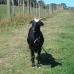
Ambury Park Farm walks takes you through the farm paddocks and out to the wetlands and the harbour shore for bird sightings, and views looking up to Mangere Mountain.
The Mangere Mountain Volcano Walk provides a birds eye view of the Manukau Harbour and the surrounding area, with views across to One Tree Hill and the Sky Tower, looking down on the explosion crater of Mangere Lagoon, and over to Ambury Park Farm.
If you are looking for a walk that is buggy friendly, then the Mangere Bridge Village loop walk that starts (and ends, of course) at Mangere Bridge Village, and heads around the harbour edge, under the motorway bridge, partly through the industrial area, along the base of Mangere Mountain and returns along the Kiwi Esplanade will tick the box.
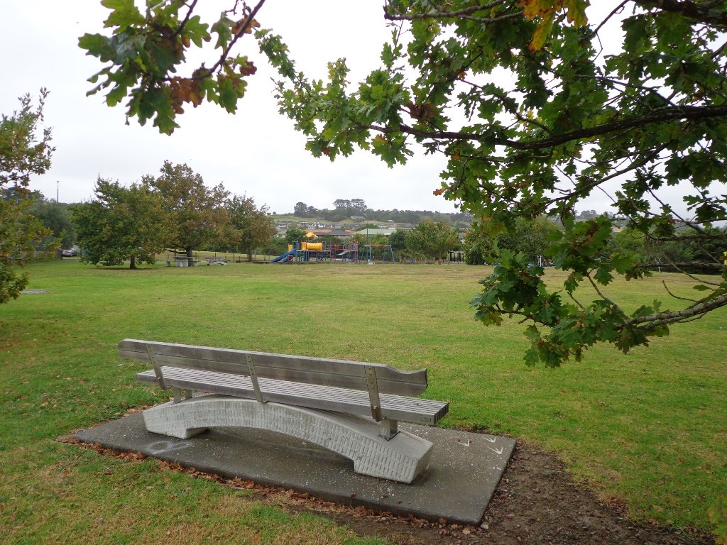
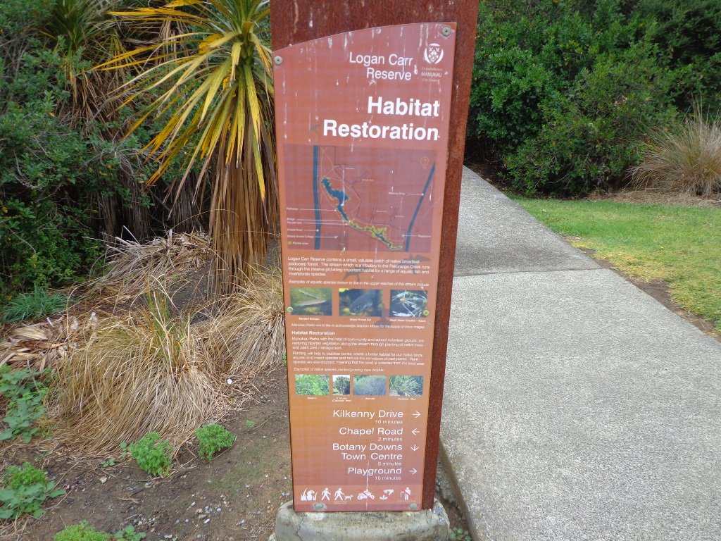
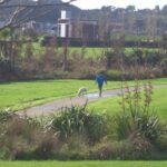
This short loop walk exploring the reserves from Botany Town Centre to Dannemora is suitable for people who work at Botany Town Centre and enjoy a short walk in their breaks, families with young children (playground, ducks) and dog owners.
The walkways are flat and concrete – ideal for wet days, and for buggies and scooters. We saw ducks, pukeko and shags on the waterways. There is a children’s playground en-route, picnic tables and off leash dog exercise areas.
The walking route is great for cyclists, prams/buggies and dog walkers.
Description: Mostly level paths. Suitable for most ages and levels of fitness and mobility, designed with flat shoes or running shoes in mind. Suitable for pushchairs. To see: Reserves and waterways. Time: approx. 45 minutes (about 3.4 kms). Start: Town Centre Drive, Chapel Road, Botany. MAP
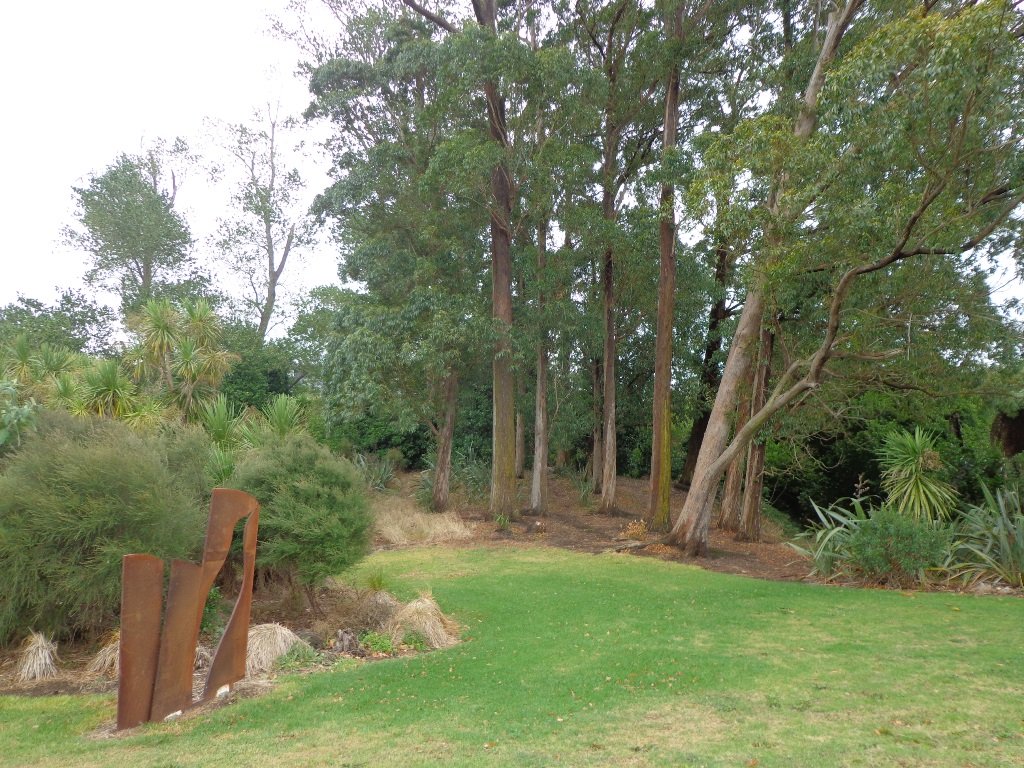
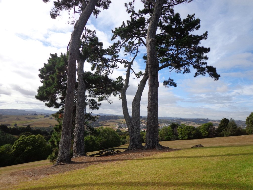
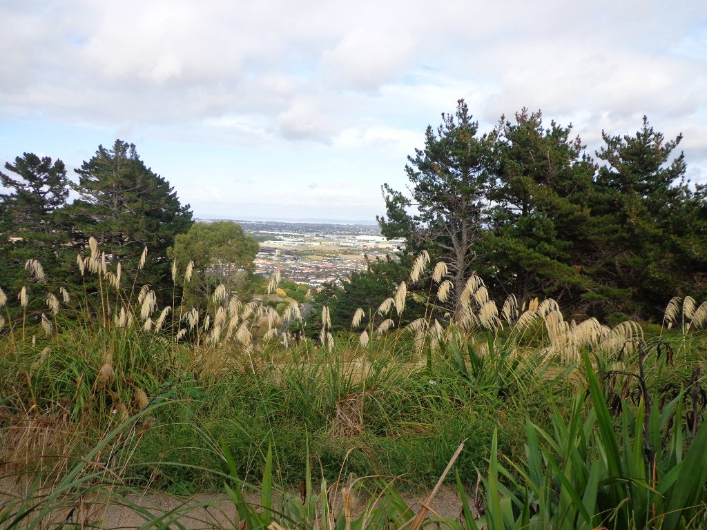
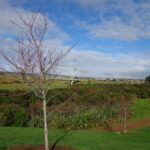
Point View Reserve is close to Botany and Dannemora and the view from the trig station, looking north to Auckland City puts the city’s housing sprawl into perspective. Looking towards the opposite direction there are still the rolling hills of the quiet countryside to see. What a contrast!
And then, in the middle of the reserve is regenerating native bush – taraire, karaka, puriri, rimu, totara and kahikatea trees; as well as tree ferns, kanuka and nikau palms. What a treasure this reserve is.
A tributary of the Mangemangeroa Creek runs through the steep gully (we were told there are 500 steps on the Koura Track).
Our 3km loop walk does require a good level of fitness – due to the steep steps. Dogs must be on-leash in the bush areas, and off leash in the open areas.
Further information is at the greataucklandwalks website.
You can download the Auckland Council Point View Reserve brochure here.
Description: Mix of level and steep paths, with a series of steep steps. Suitable for good levels of fitness and mobility, designed with flat shoes or running shoes in mind. Not suitable for pushchairs. To see: Views of Auckland City and countryside, bush and birds. Time: approx. 45 to 60 minutes (about 3.16kms). Plus exploring time. Parking: Corner of Caldwells Road and Point View Drive. MAP
Stay on track… Find this walk (AS-097 Point View Reserve Loop)and other walk brochures with map and directions at our Walk Store . One of 12 walks in our book “Best of the South” available from our Book Store.
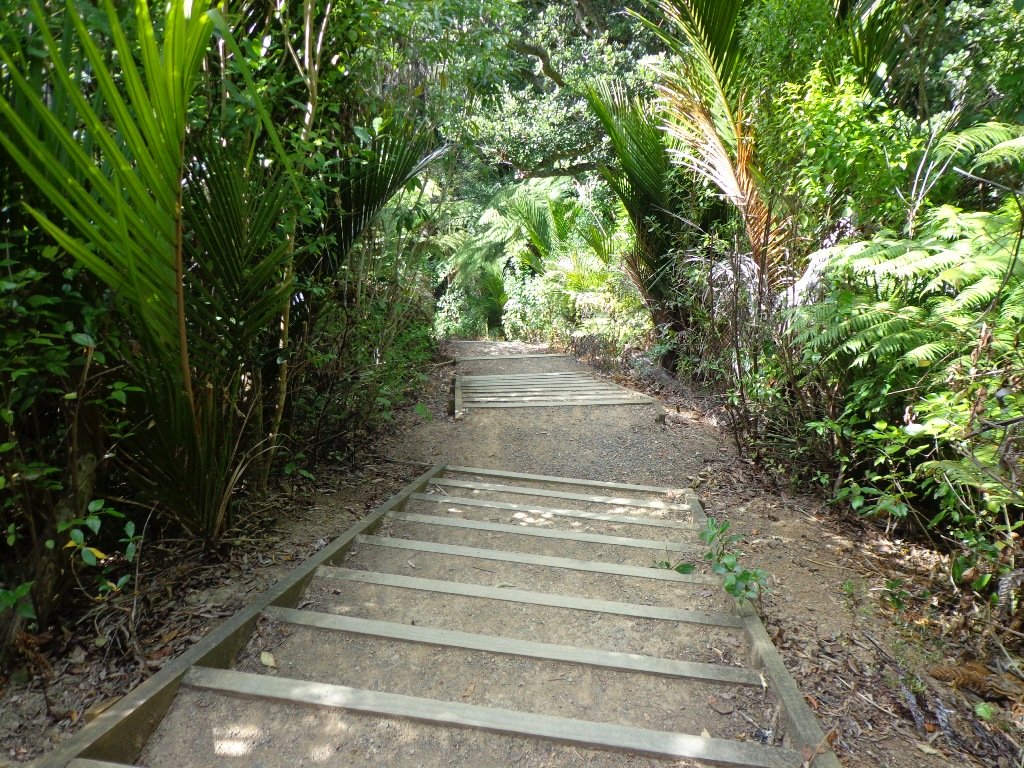
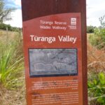
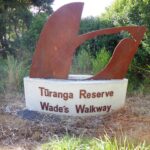
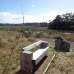
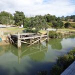
Wades Walkway at Whitford is a little gem that we hope will be developed further in the future. The walkway follows the Turanga River. From the 1860’s until 1927 a ferry provided transport from Whitford to Auckland. The remains of the wharf are still on-site.
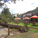
There is a children’s playground nearby. Whitford Village has a collection of gift shops and cafes. We enjoyed visiting Amy’s Kitchen.
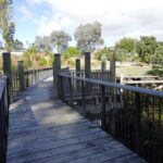
Wades Walkway can be accessed from the roundabout in Whitford or from Wades Road. The track is loose gravel and is flat. Suitable for mountain bikes.
To make your own loop walk starting from the Whitford roundabout: at the end of Wades walkway turn left into Wades Road, at the next junction, turn left (still Wades Road) then right into Whitford Road to return to the start. We have not measured this loop walk, but allow at least an hour. MAP
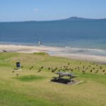
Today was our first walk around the 3 km perimeter of Omana Regional Park near Maraetai (pronounced my-right-eye). The walk itself was pretty uninteresting apart from the view looking back to Auckland City. However, the walk along the coastline from Omana Beach to Maraetai Beach was much more interesting.
The weather was brilliant and it was fabulous to see so many people out enjoying themselves in and on the beautiful blue clear water, as well as picnicking on the grassy shore in the shade of the pohutukawa trees. The tide was high (actually a “king” tide) which added to the beauty.
The shared pathway/cycleway between Maraetai and Beachlands is very scenic, and suitable for family cycle rides.
Description: Mostly level paths, with a few short steep bits. Gravel and sealed track/paths. Sturdy footwear recommended for Omana loop.
Suitable for most ages and levels of fitness and mobility, designed with flat shoes or running shoes in mind.
To see: Farmland, bush, coast, boats.
Time: We did the Omana perimeter loop (3kms) and walked to Maraetai return (5kms).
Start: Either from Maraetai or Omana Beach Road. Map
The combined walks of Maraetai and Omana lived up to our expectations of a diverse walk – farmland, bush, coast, boats and village.
Click on photo to enlarge.
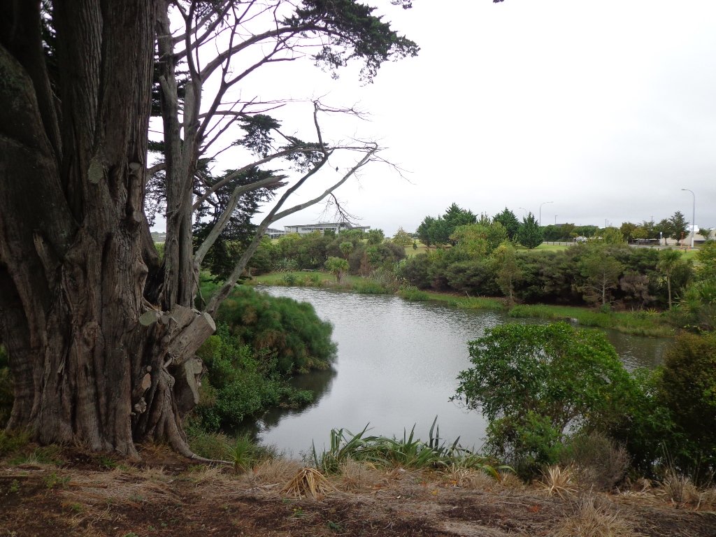
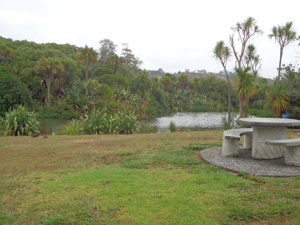
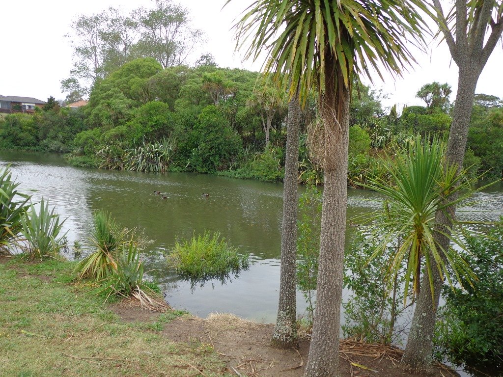
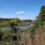
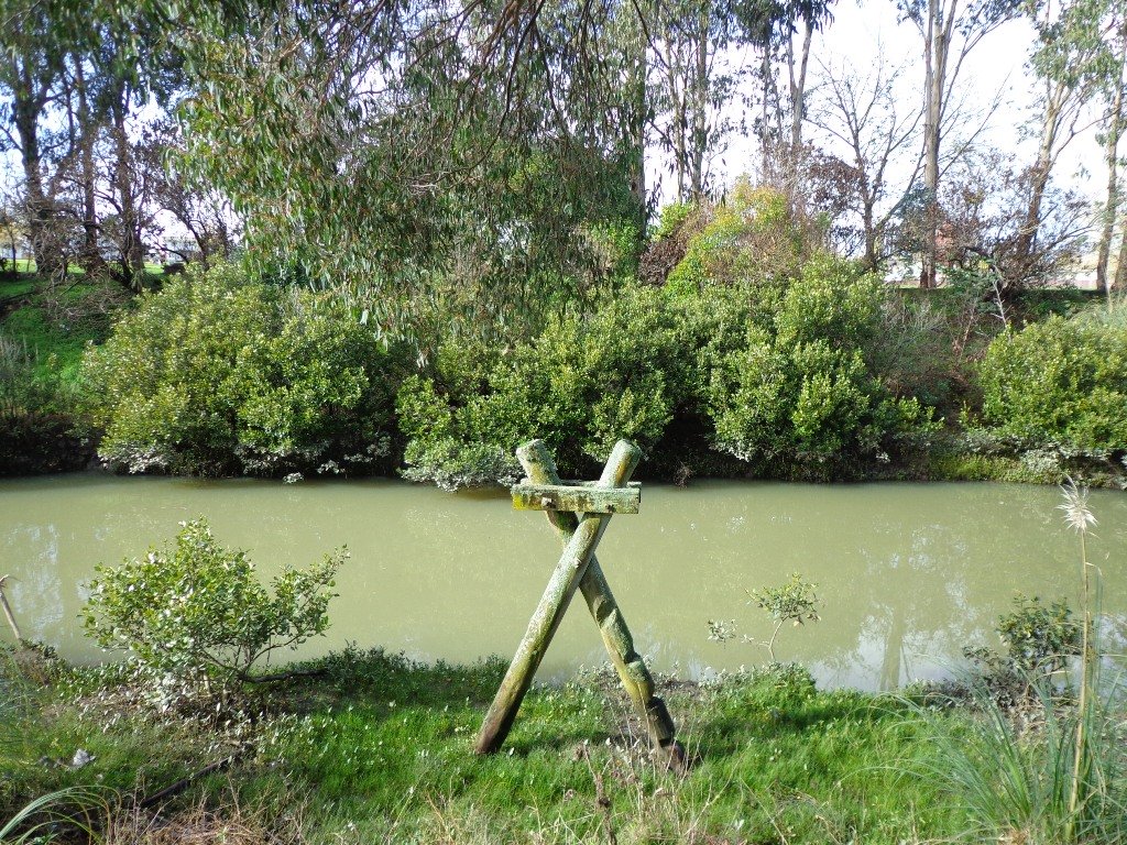
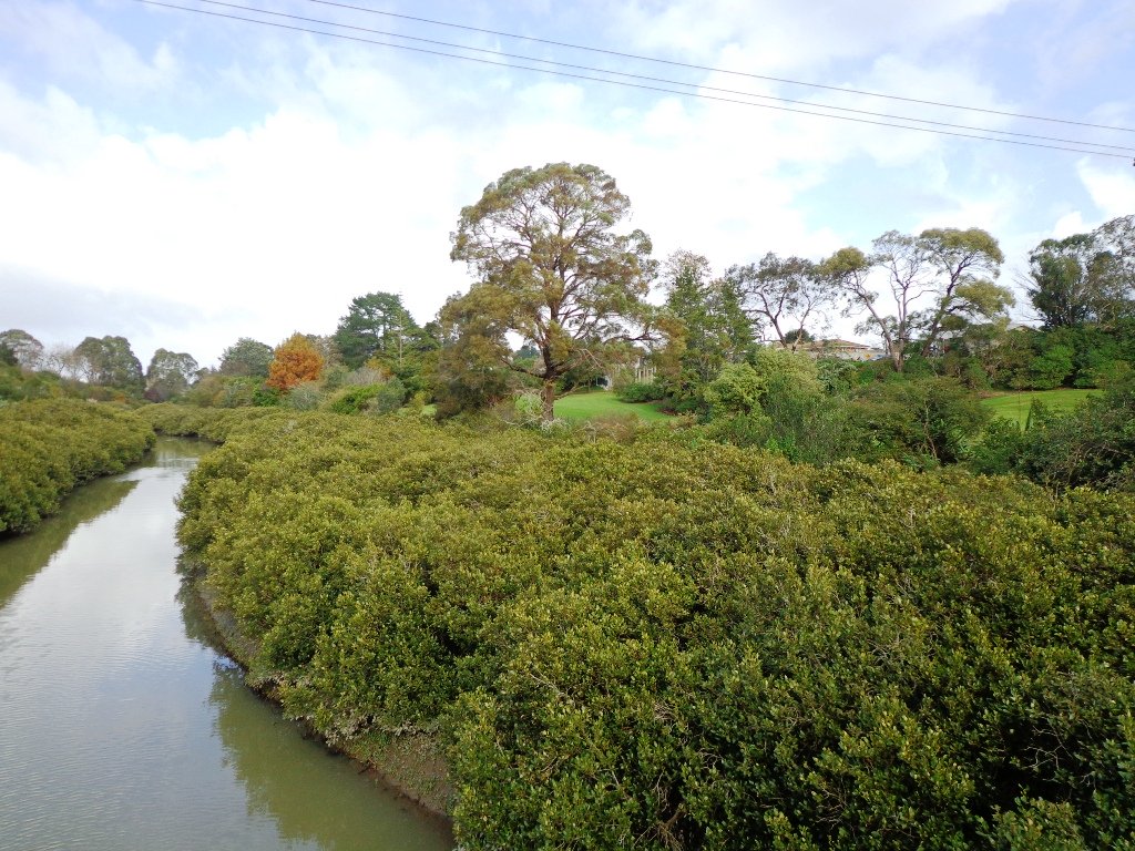
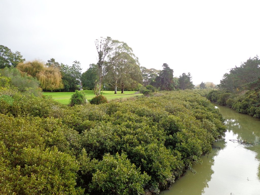
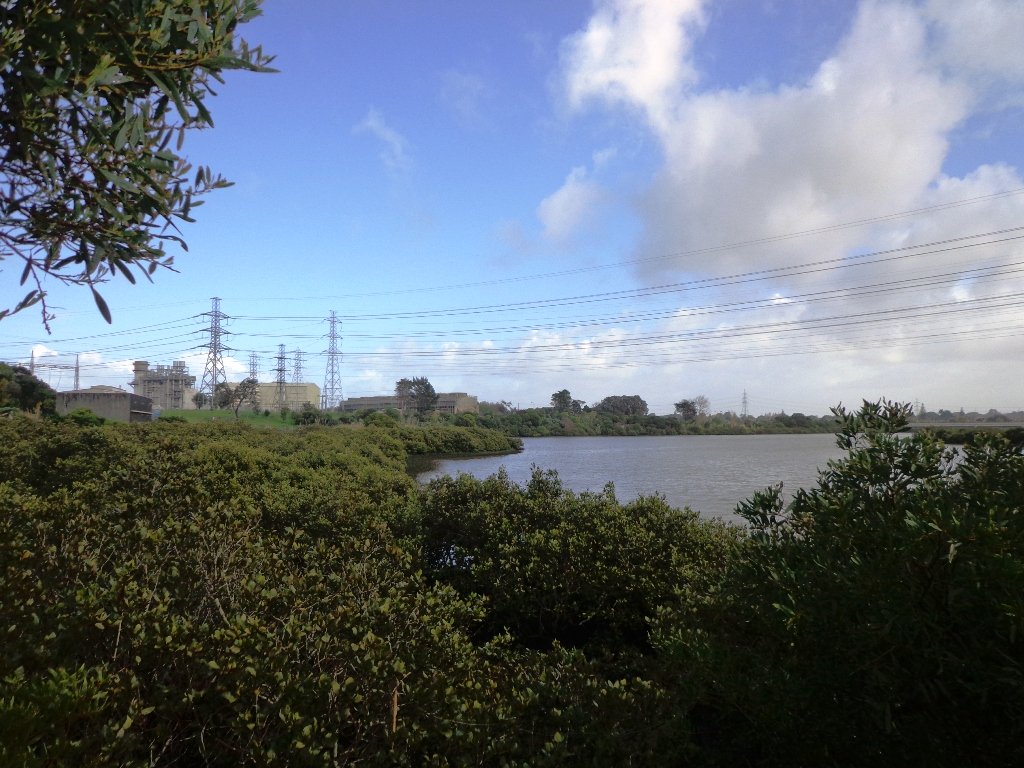
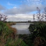
The Otara Creek Walkway in South Auckland, passes through some 220 hectares of waterway/tidal mudflats and forms a green corridor within Otara township.
This huge reserve was almost empty today; we saw two cyclists and one stray dog.
This walkway is ideal for family cycling and for taking your dog for an off-leash walk. (Dogs are welcome along the walkway provided they are kept under control and do not disturb wildlife or other park users. Dogs are not permitted on sport fields or near children’s playgrounds.)
The creek has mangrove mud flats and is sadly polluted – the locals seems to take delight in dropping shopping trolleys into the creek. However, if you can overlook the neglect, you may find enjoyment in the bigger view: the sounds of the birds and the trees and the native plants within the Otara Creek Reserve.
When I got home the thought came to me what it was that was missing here. Other walks along waterways in Auckland like Wattle Downs and Conifer Grove have homes facing the waterway, but here alongside Otara Creek, there are only fenced off back yards. Would people feel a sense of ownership, if another row of houses inside the reserve faced the creek?
Description: Mainly level paths. Suitable for users of average fitness and mobility. Dog friendly. To see: Otara Creek and estuary, mangrove mud flats Time: approx. 75 minutes. (about 5.75 kms) Start from: Fair Mall, Bairds Road, East Tamaki MAP
Stay on track…get your detailed guide and map (AS-073 Otara Creek Walkway) over at our Walks Store and our Book Store (one of 12 walks featured in our books “Dog Friendly Walks part 3” and “Best of the South”).
Self guided short circular walks in Auckland for health, fitness and fun


 After a walk around the nearby man-made Sir Barry Curtis Park, we retreated to the native bush of Murphys Bush Scenic Reserve.
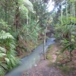
 Sir Barry Curtis Park in Flatbush was opened in 2009 after previously being used for farmland (and some of the farm’s old stone walls remain). Today was our first visit. The walkways are extensive but many of them come to a sudden dead-end. Random hills with no paths. And extremely muddy after rain (today we got mud splashed to above our knees!). As it is a new park, there is a lack of mature trees.
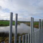


 The
The 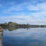 The
The Ambury Park Farm
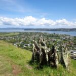 The
The 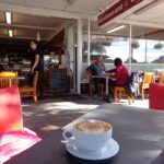 If you are looking for a walk that is buggy friendly, then the