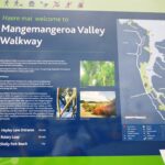
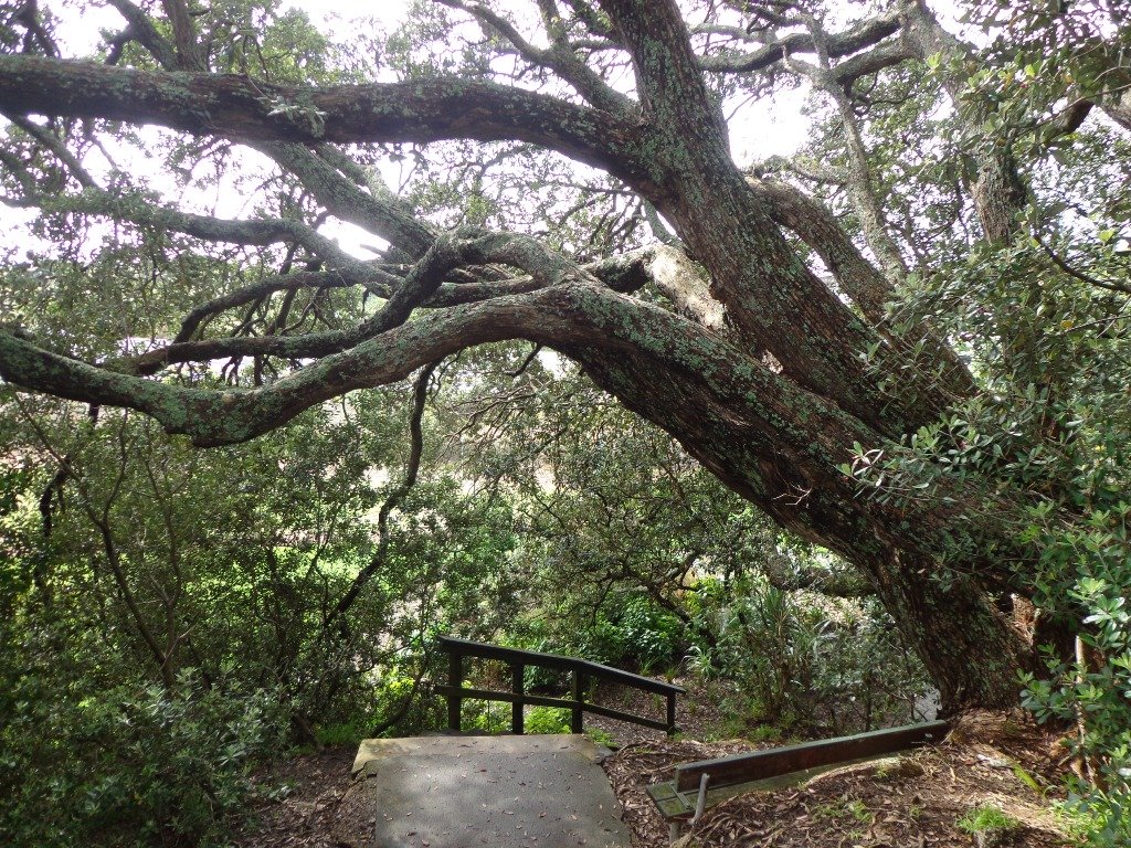
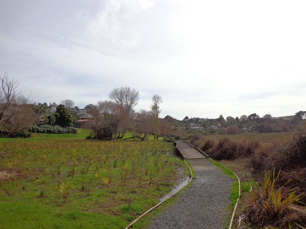
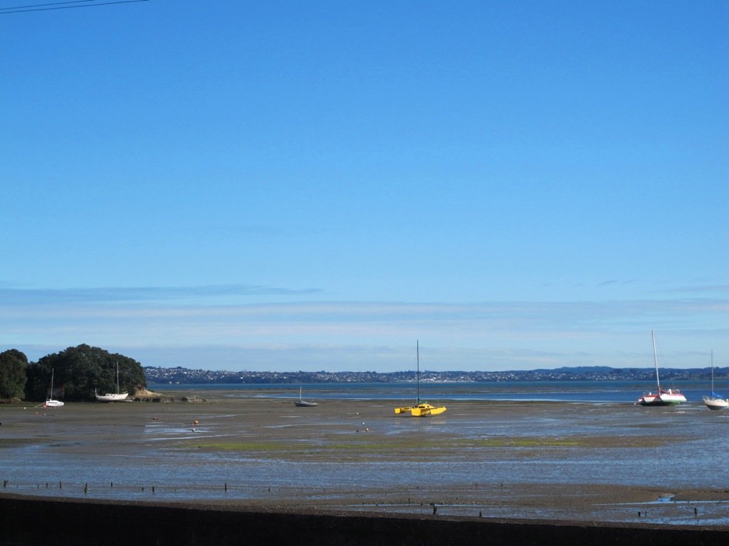
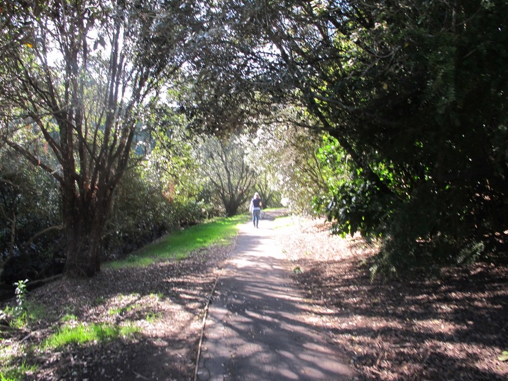
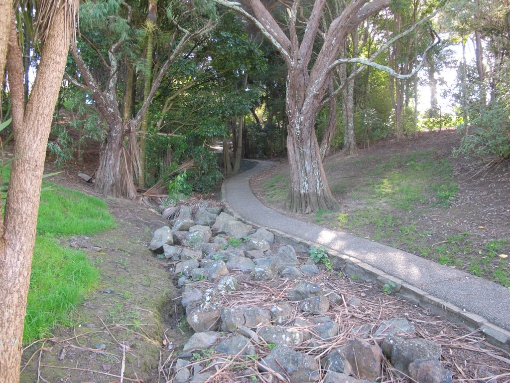
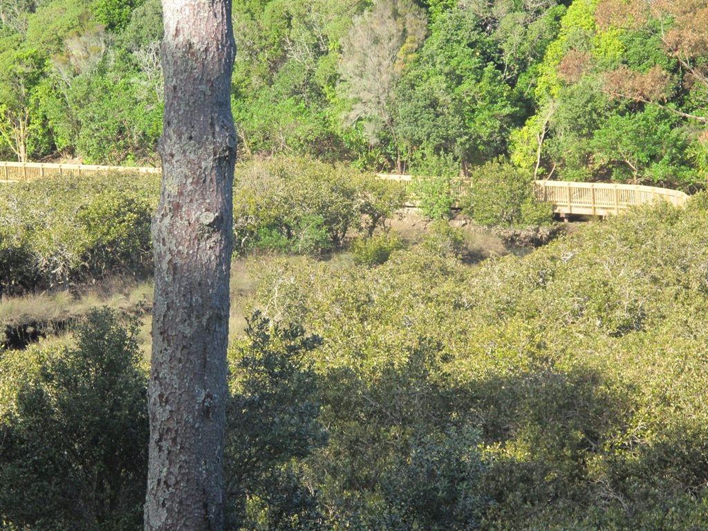
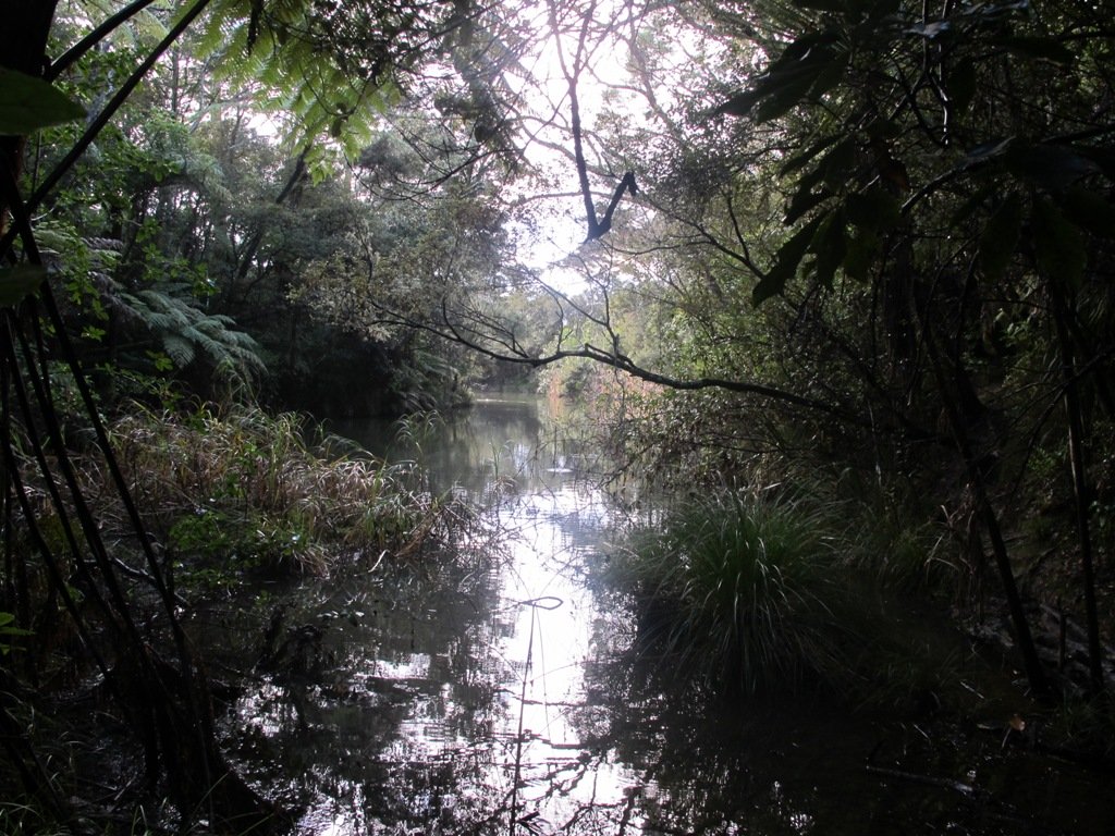
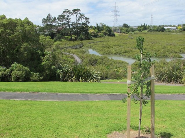
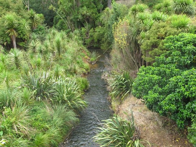
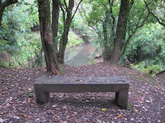
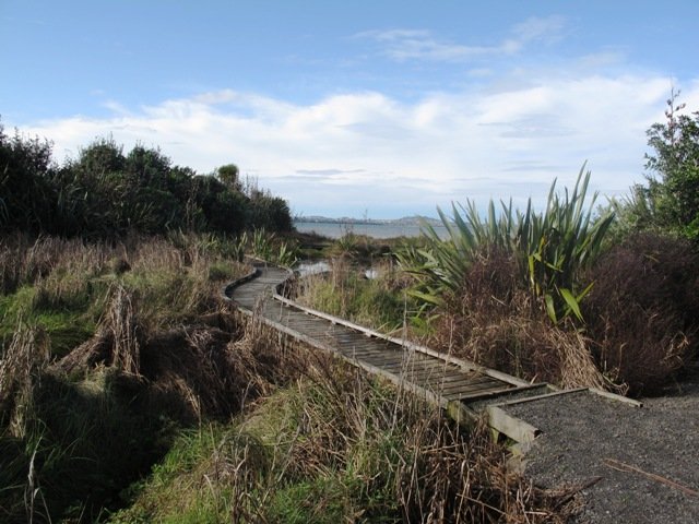
Today we headed south along the Mangemangeroa Valley Walkway – previously we had walked north to Shelly Park Beach. Today started off overcast but the sun came out, and there was a cool breeze. The breeze was very welcome when we were walking uphill in Hayley Lane and at the end of the Rotary Loop.
We started off at the barn in Somerville Road (MAP) and turned right. It was good to see new maps and direction posts have been erected since our last visit, one year ago. A lot of work has also been done with the planting of flax and cabbage trees – where this is done it will be a joy to see the rejuvenation of the native bush. We were pleased to see young kauri trees growing strongly. We walked up the steep hill of Hayley Lane, along Point View Drive, then back down the steep steps to rejoin the path, then followed the next turn left up the steps of the Rotary Loop to return to the start – a length of just over 5kms.
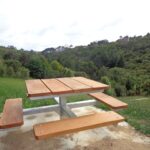
This walkway is very pleasant and perfect for a day walk and picnic, if doing the full length. Get the Auckland Council brochure here.
We drove onto Whitford for refreshments beside the Turanga River at Amy’s Kitchen.
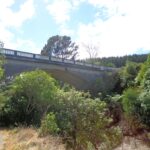
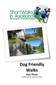
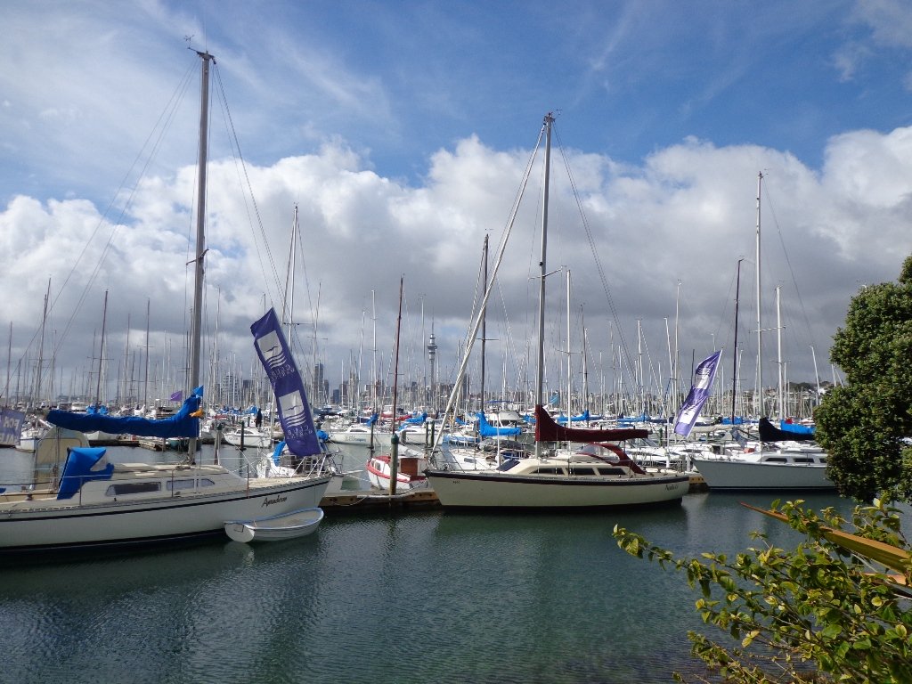
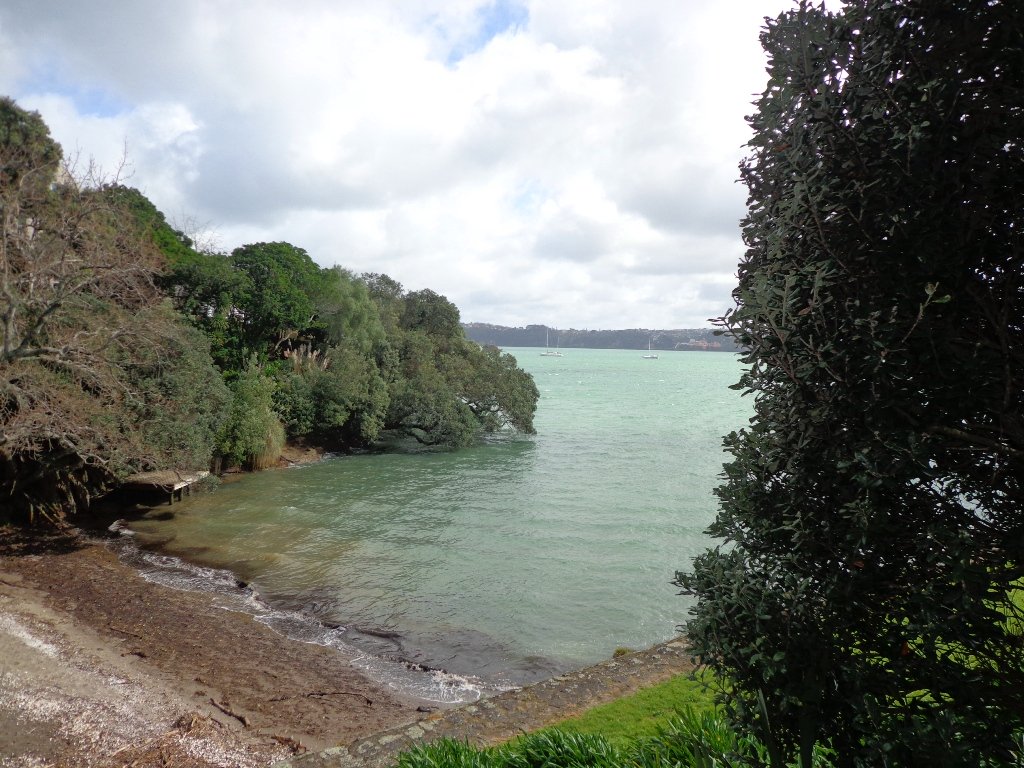
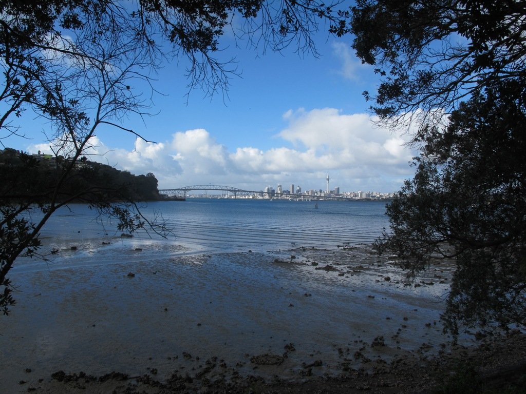
It has been a while since we have headed down to Westhaven and Point Erin Park. We found three good reasons to make a return visit. It seemed appropriate to be down at Auckland’s waterfront while TeamNZ was enduring their second race of the competition for the America’s Cup! We had watched the new pedestrian bridge crossing the motorway from the steep steps of Jacob’s Ladder being built, but still had not traversed it. And the dark grey clouds threatened rain and we did not want to be a long way from shelter.
And the results were…TeamNZ won their second race, the pedestrian bridge looks better when you are on it and we stayed dry!
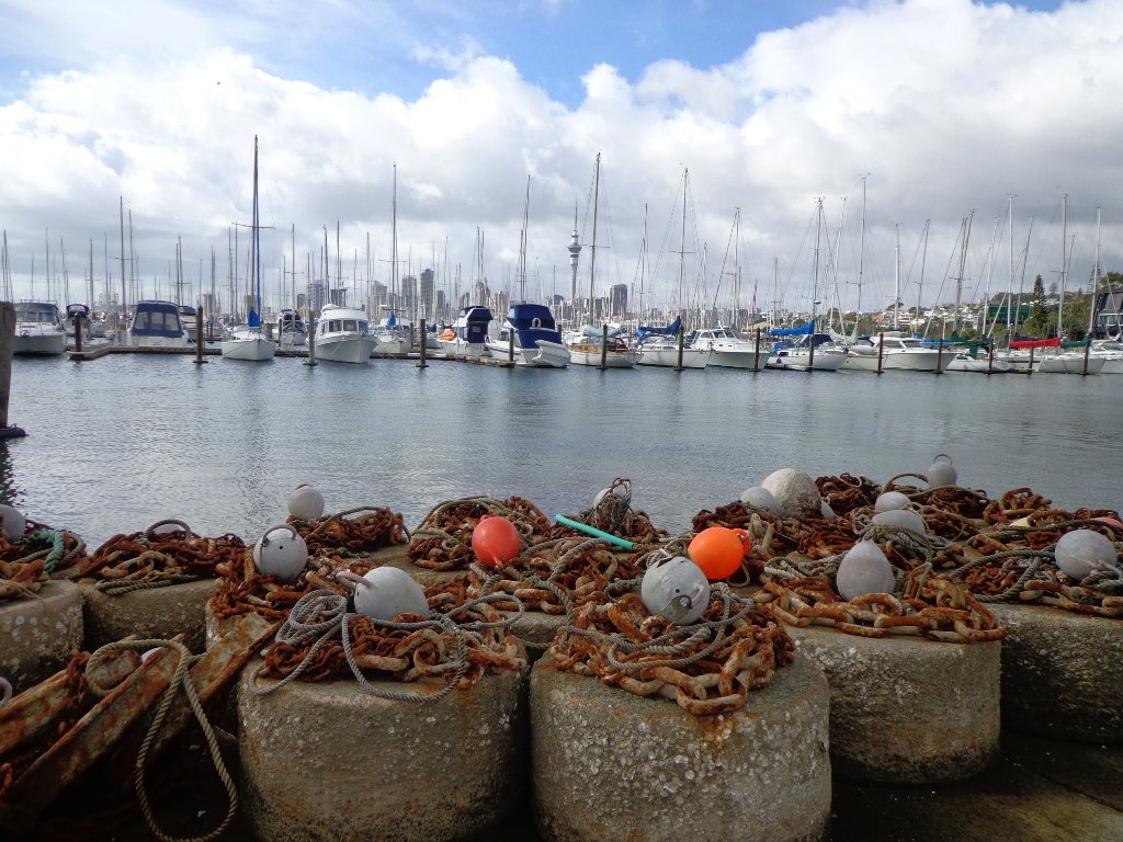
Since we last visited, the Council has built a new pathway that runs alongside the motorway, with panels that effectively screen the motorway traffic noise. It promises to be beautiful in December when the red flowers of the pohutukawa trees are in bloom.
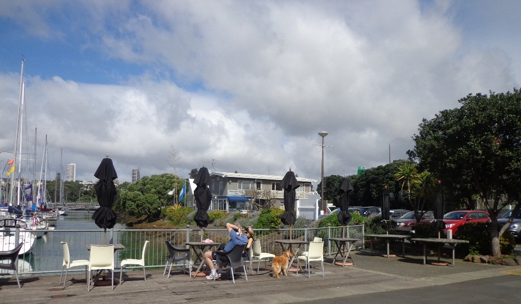
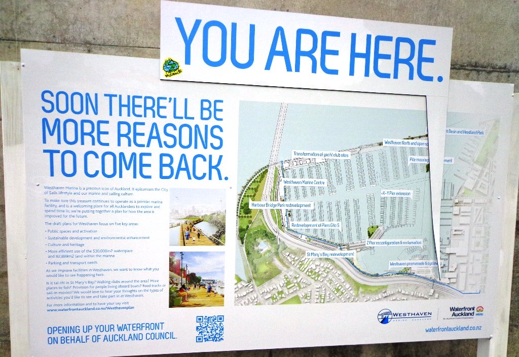
30th January 2015: The Westhaven Promenade is now open. This will form part of a 20km continuous walkway and cycleway that runs from Herne Bay in the west to Tamaki Drive in the east. Read more: Westhaven Promenade
Description: Mainly level paths, two flights of steps. Suitable for users of average fitness and mobility. Running shoes suitable. To see: Auckland City views, Rangitoto Island views, harbour views, Harbour Bridge. Time: approx. 45 minutes. (about 4.24 kms). Point Erin Park for Dog off leash area, Playground, Picnic site. Children’s scooter friendly apart from the steps. Start: Westhaven Drive, Saint Mary’s Bay (Harbour Bridge end) MAP
Stay on track…get your detailed guide and map over at our Walks Store (AC-088 Westhaven Loop) and our Book Store (one of 12 walks featured in our book “Dog Friendly Walks part 3”).
This loop walk that takes in Northcote’s volcanic Tuff Crater and Onepoto Domain is based on one from Margaret Scrymgeour’s booklet “Explore the Shore”.
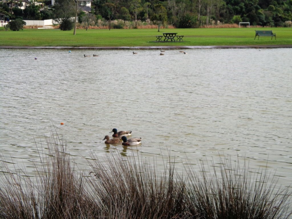
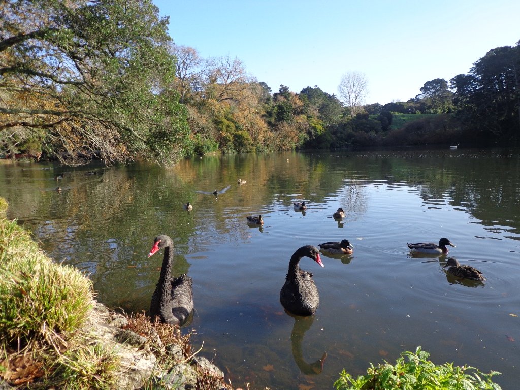
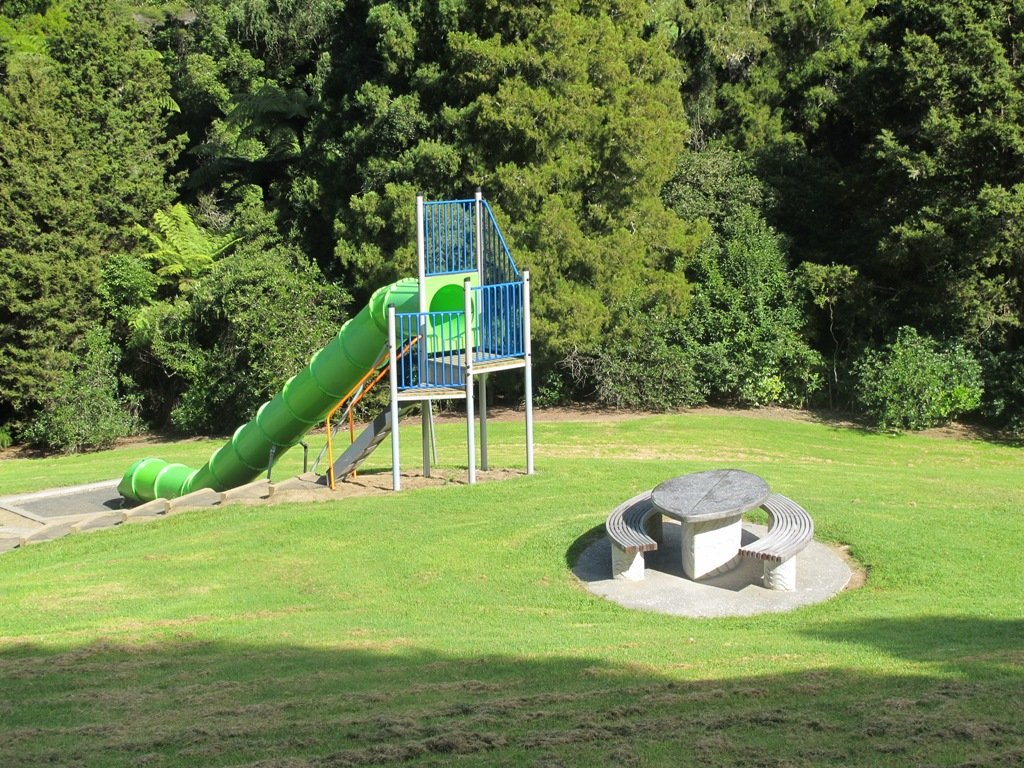
We started the walk from the children’s playground area at Onepoto Domain. We had heard about the children’s cycle track and it is a really safe place to bring young children and their bikes. The playgrounds looks like a lot of fun too (it has a flying fox). It is a great place to have a picnic, feed the ducks and an ideal spot for parenting groups to meet up.
Onepoto Basin is another of Auckland’s explosion craters and it is the oldest dated, erupting about 250,000 years ago. The Maori name “Onepoto” means small beach (named after Halls Beach near Northcote Point).
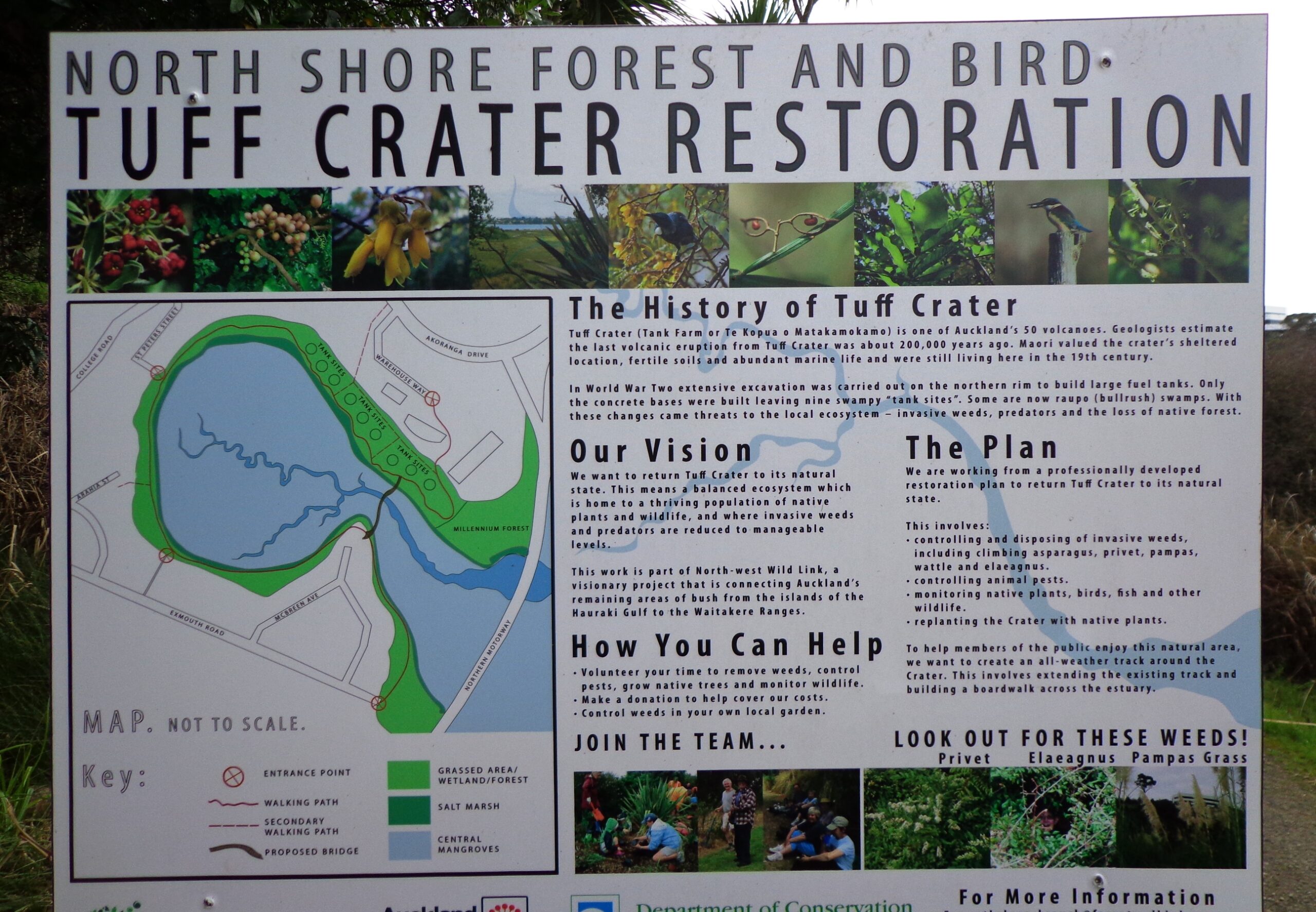
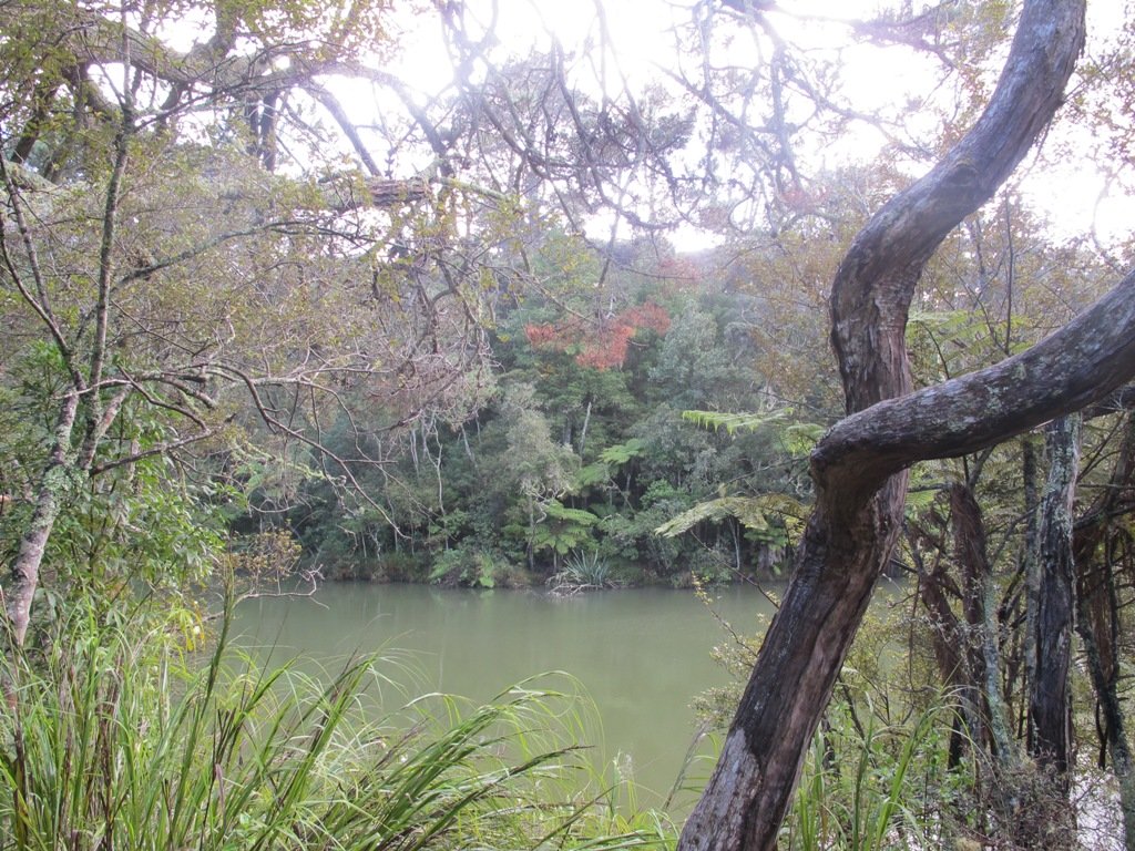
Tuff Crater is another explosion crater (this one is filled with water), which is being restored to its natural state with a balanced ecosystem of native plants and wildlife, all with volunteer help. It was formed by explosive eruptions around the same time as Onepoto. For more information about the Tuff Crater, you may wish to view this video. (please note that our loop walk includes part of the Tuff Crater. There are future plans to build a circular walkway completely around the Tuff Crater).
Dogs may be off-leash on the track within the Tuff Crater Reserve (according to Auckland Council Bye-laws Department re phone call 3/6/2014). There is a risk that they could disturb endangered bird life, so please keep them under control. We do have a request for dog owners to pick up litter (as we did come across litter). PLEASE NOTE: As of the 29th October 2014 the new dog rules for Tuff Crater – Dogs prohibited within the foreshore (mangroves) of Tuff Crater; on-leash on track around reserve.
Description: Bush tracks, steps, inclines. Muddy in places when wet. Suitable for users of average fitness and mobility. To see: Native bush, views across Auckland Harbour, native birds, volcanic crater Time: approx. 60 minutes. (about 5.0 kms). Dog friendly, but on leash only. Parking: Onepoto Domain, Northcote. Buses: Onewa Road, Northcote MAP
Stay on track…get your detailed guide and map (AN-085 Northcote Tuff Crater Loop) over at our Walks Store and our Book Store (one of 12 walks featured in our book “Dog Friendly Walks part 1”).
It was time to visit the newly opened (15th June 2013) Cox’s Bay Reserve boardwalk and to incorporate it into another circular walk to add to our collection.
This walk explores both Cox’s Bay Reserve and Grey Lynn Park. Cox’s Bay Reserve is made up of three parks – Hukanui Reserve where the new boardwalk is, Bayfield Park where you may wish to have your picnic, and the sports fields of Cox’s Bay Park. It is a mini-paradise for dog owners with off-leash dog exercise areas.
And it is family friendly too, with a selection of children’s playgrounds and picnic sites. It is a great place for joggers and people who like to use the outdoor fitness stations.
The wide open spaces, sculptures, playing fields, the creek, mangrove swamps, gullies, the bay itself, a field with cattle and tall mature trees surrounded by interesting residential housing, make this another walk that is full of variety.
Also of interest is the Kelmarna Gardens Nature Trail off Hukanui Crescent – A self-directed nature trail will show you chickens, vegetable gardens, a pony and young cattle, an organic orchard, beehives, worm farm, compost making, native trees and flax. The trail winds its way through the gardens, across paddocks and links to Cox’s Creek Walkway. The gardens were established in 1981 and have been organically managed for 32 years. The land is owned by Auckland Council for the benefit of the whole community.
Dogs – Off leash exercise areas in Cox’s Bay Reserve and Grey Lynn Park (check signage for rules).
Description: Paved walkways, steps, inclines and board walks. Suitable for users of average fitness and mobility. (Suitable for prams/buggies excluding the steps). To see: Sculptures, playing fields, the creek, mangrove swamps, gullies, the bay itself, a field with cattle and tall mature trees surrounded by interesting residential housing. Time: approx. 70 minutes. (about 5.58 kms) Parking: Westmoreland Street West off Richmond Road, Grey Lynn. Buses: Richmond Road, Grey Lynn MAP Children’s playgrounds. Off-leash dog exercise areas in in Grey Lynn Park and Cox’s Bay Reserve (please read the signs). Cafe: Bread and Butter
Stay on track…get your detailed guide and map over at our Walks Store (AC-081 Grey Lynn Explorer) and our Book Store (one of 12 walks featured in our book “Dog Friendly Walks part 3”).
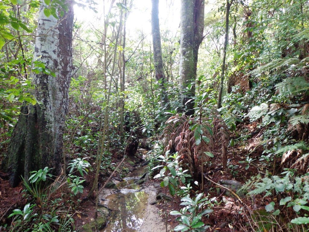
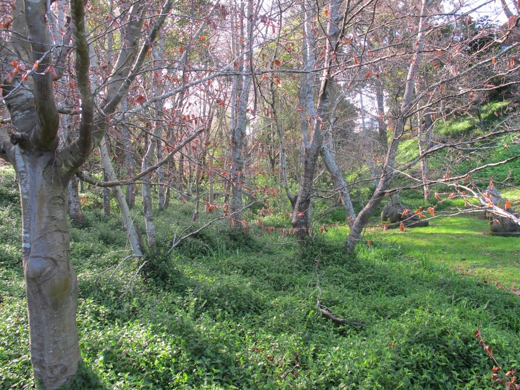
Winter is perhaps not the best time to do this bush walk starting at the Chelsea Estate Heritage Park – the track was very muddy and slippery – but we survived, and it was fun!
The pink Chelsea Sugar Refinery sits on the edge of Auckland Harbour. From the shore there is a wonderful view across to the Harbour Bridge and City. Swan and ducks greeted us at the dam, expecting to be fed.
You can walk the beaches, feed the ducks, picnic by the ponds or go exploring around the 45 hectares of bush land at the Chelsea Sugar Refinery.
Our walk takes us from the dam at the Chelsea Sugar Refinery through native bush along the cliff edge to Kauri Point Centennial Park and then inland to Chatswood Reserve.
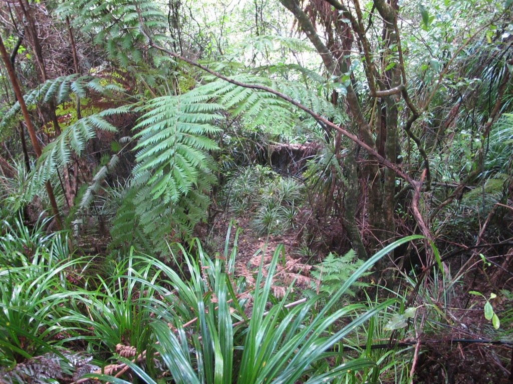
There are a myriad of walking tracks and some are difficult to find after the recent rain and the dropped leaves from the trees covering the ground. Luckily we had our map, so we did not get lost! There’s plenty of native bush and birdlife to enjoy – the birds were singing loudly today.
Update October 2015: The track from Chelsea Estate Heritage Park to Chelsea Bay/Telephone Road Reserve is currently being repaired and made accessible for pushchairs. Possible locations for a gate to separate the on-leash track from the off-leash grass and beach area are being decided as required by the Local Board after the Dog Access Hearings last year. The track has had broken concrete removed, ruts smoothed out and drainage channels created. It has been resurfaced and compacted to give it the natural-looking surface that is used on DOC tracks. The Chelsea bridge will be completely replaced next year.
Update August 2016 From the Kaipatiki Local Board: The new Chelsea Estate bridge project is now completed and ready to be walked, cycled and enjoyed. The new bridge is 2.7 metres wide and cost $287,000 to consent, design and build. Old piles from the old bridge were recycled at the new Island Bay Playspace and some went to a local resident keen to create a unique element within his new house build project.
Description: Part bush track. Very slippery when wet. Suitable for users of above average fitness and mobility. To see: Chelsea Sugar Refinery, views across Auckland Harbour, native bush, ducks, swan. Time: approx. 60 minutes. (about 5.0 kms) Parking: Chelsea Sugar Refinery car park, bottom of Colonial Road Buses: Mokoia Road, Highbury MAP
***Please note: September 2018 This track has been temporarily closed due to Kauri Dieback
Stay on track…find this walk’s map and directions guide (AN-078 Chelsea Bush Walk) and other walk self-guides at our Walk Store.
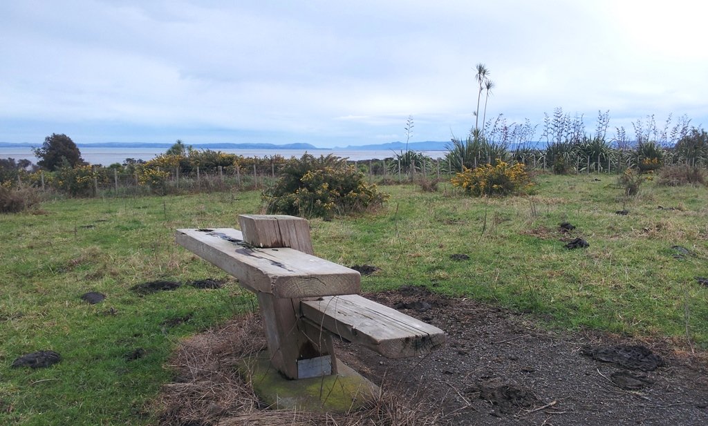
Puhinui Reserve Walkway was another new discovery for us today. It is a huge (199 hectares of rural landscape) undeveloped area out near Auckland Airport (off Price Road, off Puhiniu Road).
Puhinui Reserve forms part of the extensive Matukuturua volcanic field and is linked with pre-European settlements centred around Wiri Mountain (which has been extensively quarried) and Matukutura (McLaughlins Mountain). The area is used for a 3 day equestrian event once a year. It is a great area for safe family cycling on mountain bikes. This is a mostly flat walk. Dogs are not permitted as it is a conservation area for birdlife (such as the rare or endangered NZ Dotterel, wrybill, fernbird, and black stilt). Take a picnic – there are no nearby cafes.
The walking route is suitable for mountain buggies. Puhiniu Reserve is a great place to visit from about the end of July to see the newborn lambs and calves.
Description: A mix of level paths and slightly inclined paths. Suitable for users of average fitness and mobility. May require boots in wet weather (mud and puddles), running shoes suitable in dry weather. To see: Manukau Harbour conservation land, farmland and farm animals, view of McLaughlin Mountain (volcano), native bush. Time: approx. 80 minutes. (about 6.50 kms) Start: Price Road (off Puhinui Road, Wiri) MAP
*** Download this walk AS-039 Puhinui Reserve Loop for free when you enter your details here. *** or…
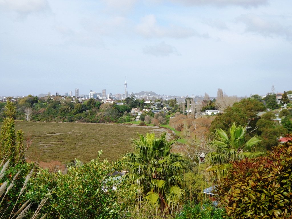
A beautiful sunny morning made our trip south for a walk around the Auckland Botanic Gardens and Totara Park walking tracks and the Puhinui Stream forest, a wonderful experience.
We had set out to do a 5km walk but we ended up getting lost due to poor signage.
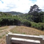
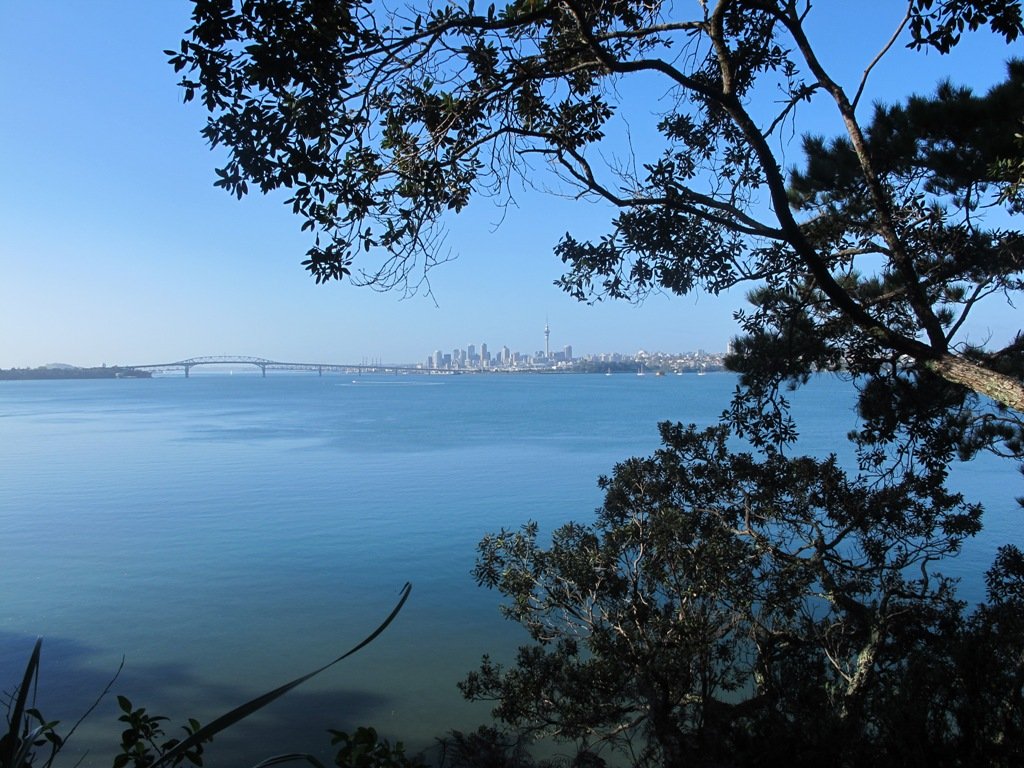
There was a good side to getting lost 1) we walked further than we had planned and 2) we found a look-out that we did not know existed which gave us a clear view all the way to the Auckland city skyline and across to Manukau Harbour.
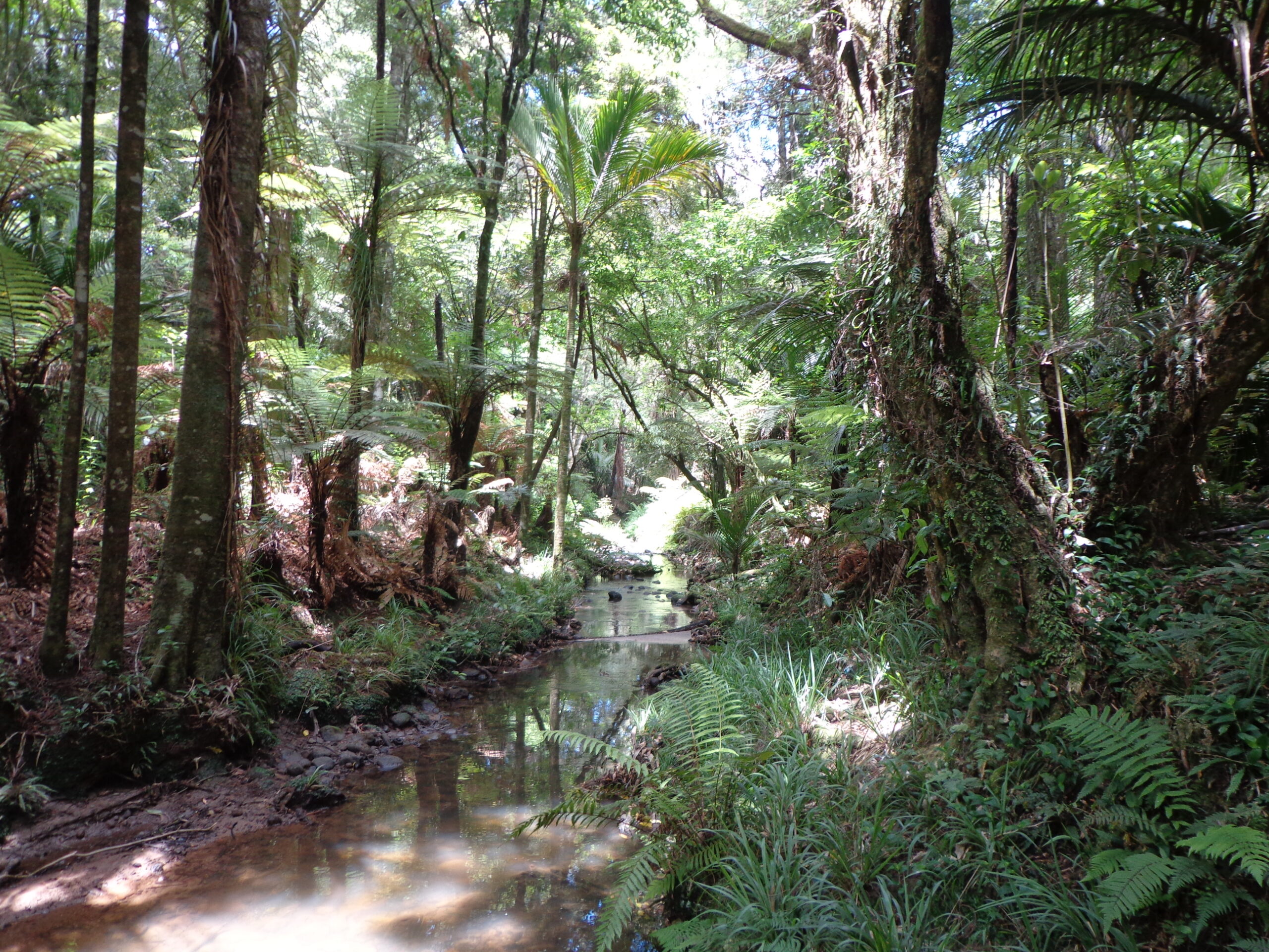
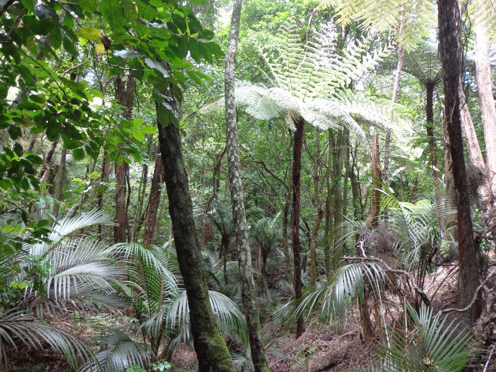
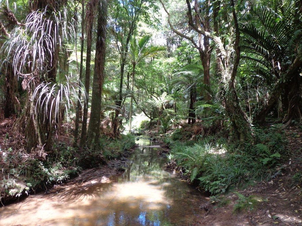
The Puhinui Stream Forest Trail (the full loop trail is approx 4 kms) in Totara Park was gorgeous with the sunlight dappling the native ferns and palms. The trail took us past beautiful totara, puriri, nikau and kauri trees. We enjoyed soaking up the beauty of the lush native forest.
There are great spots to stop and picnic along the trail and children’s playground areas (including a children’s flying fox). Dogs on-leash on the trail, but there are off-leash areas. It makes for a great family day out. (And if you are into mountain biking or want to give it a try, there is a 15 km mountain bike track here too).
Dogs – off leash exercise area between north side of the Gardens and Totara Park.
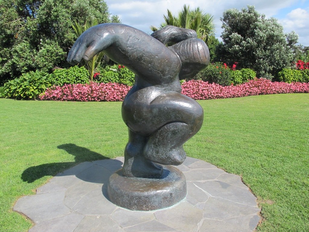
If you have children then we do recommend a visit to the Potter Children’s Garden (within the Botanic Gardens) – and as adults we enjoy visiting them too! The Auckland Botanical Gardens are magnificent and a wonderful place to visit all year round – the spring blossoms are stunning.
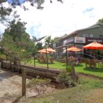
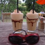
Description: A mix of level paths, steps and slightly inclined paths. Suitable for users of average fitness and mobility. May require boots in wet weather, running shoes suitable in dry weather. To see: Auckland Botanic Gardens, native bush and palms Time: approx. 75 minutes. (about 6 kms) Start: Auckland Botanic Gardens Carpark MAP Miko Cafe at Auckland Botanic Gardens Visitor Centre provided us with much needed refreshments (we especially enjoy the Piazza D’Oro coffee).
Stay on track…get your detailed guide and map (AS-037 Botanic Gardens and Totara Park Loops ) over at our Walks Store and our Book Store (one of 12 walks featured in our books “Urban Bush”, “Dog Friendly Walks part 2” and “Best of the South”).
The Avondale Whau River walkway from New Lynn, was a new discovery yesterday. The Whau River is almost full of mangroves but it does have a boardwalk going across thanks to Dawn Persson’s commitment to the Avondale Community.
This is a dog friendly walk with an off-leash exercise area and is a mostly flat walk – just one gentle rise after the boardwalk. The walking route is also suitable for prams/buggies.
You may like to pack a picnic or take advantage of the nearby New Lynn Cafes.
Description: A mix of mainly level paths and one slightly steep path. Suitable for users of average fitness and mobility. May require boots in wet weather, running shoes suitable in dry weather. To see: Water birds, Mangroves, river views, boardwalk Time: approx. 50 minutes. (about 6 kms) Parking: Lynn Mall Shopping Centre Carpark
Stay on track…get your detailed guide and map (AW-030 Whau River Loop) over at our Walks Store and our Book Store (one of 12 walks featured in our books “Dog Friendly Walks part 2” and “Best of the West“).
The Henderson Opanuku Stream walk comes under Project Twin Streams. A great deal of progress has been made. It is a very pleasant short bush walk among the native trees – two giant kauris and many macrocarpas, and the sound of birds. This is a dog friendly walk with an off-leash area. And a mostly flat walk.
More work needs to be done on making sign posting clear to encourage more people to get out and discover what a beautiful area it is. The area would also benefit from BBQ areas and children’s playgrounds to encourage more families to enjoy the outdoors.
The walking route is also suitable for prams/buggies and dog walkers (on leash only).
This is another walk that you can get to by rail and make it a day outing as Henderson Railway Station is close by. You may like to pack a picnic or take advantage of the Henderson Cafes.
Description: Mostly level paths. Suitable for users of average fitness and mobility. May require boots in wet weather, running shoes suitable in dry weather. To see: Trees and fauna, stream, parks. Time: approx. 75 minutes. (about 5.2 kms) Start: Opanuku Reserve off Henderson Valley Road MAP
Stay on track…get your detailed guide and map (AW-029 Henderson Opanuku Stream Circuit) over at our Walks Store and our Book Store (one of 12 walks featured in our books “Urban Bush” and “Best of the West“).
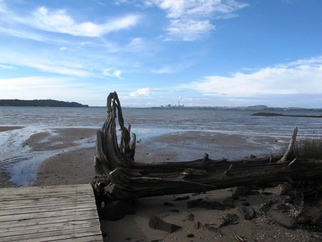
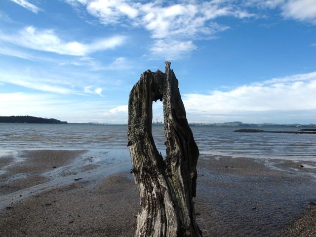
The Te Atatu Peninsula Walk provides wonderful views of Auckland harbour – the Chelsea sugar factory, the Sky Tower, Rangitoto Island and the Harbour Bridge. You could almost be on an island! And the water looks beautiful at both high and low tides, dotted with mangroves.
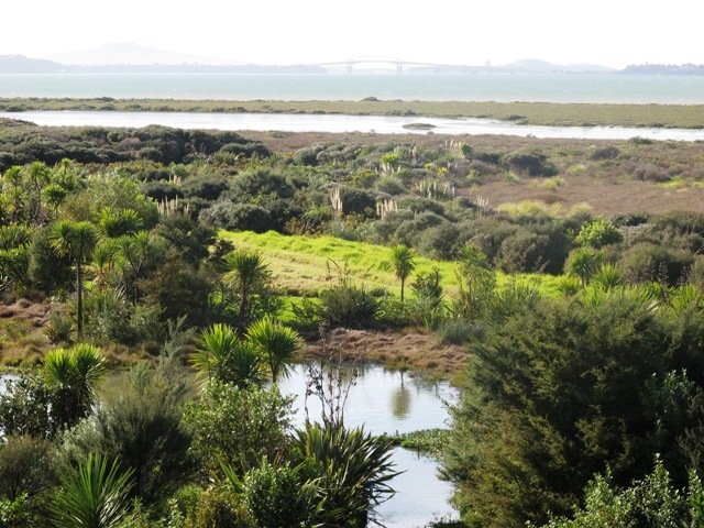
On the eastern side of the Peninsula, specially created salt marsh wetlands on the lower terrace at Harbourview – Orangihina provide natural habitat to an abundant wildlife (fern birds, New Zealand Dotterel, oystercatchers, herons, Caspina terns, godwit and varous gulls).
There are boardwalks and a picnic platform out over the water at Harbourview Beach Reserve.
The walking route is suitable for cyclists, prams/buggies and dog walkers (on leash only to help protect the bird life that lives around the foreshore).
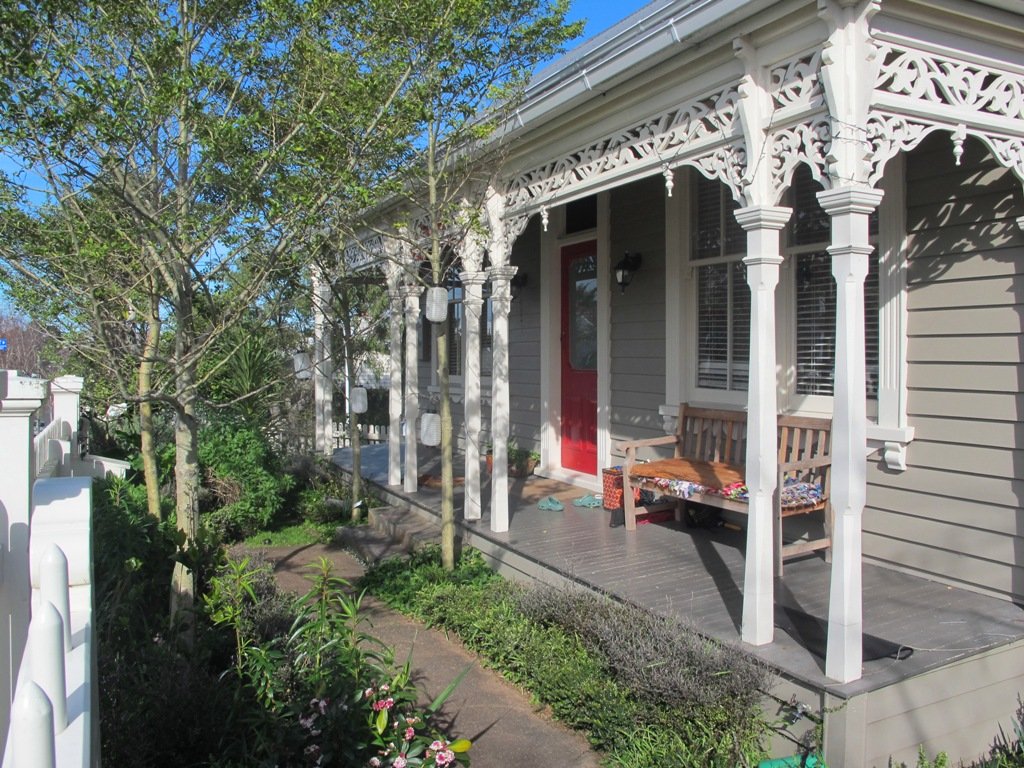
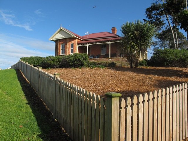
Fans of the New Zealand TV series Nothing Trivial Season One may recognize Michelle’s house and her exercise path.
Description: 6.25km loop walk. Mainly level paths – a mixture of paved, loose metal and boardwalks . Caution: Puddles after rain. Suitable for most ages and levels of fitness and mobility, designed with flat shoes or running shoes in mind. Suitable for wheelchairs and pushchairs. Children’s Playground=Yes To see : Waitemata Harbour views, natural habitat, shore birds MAP
Stay on track…find this walk’s map and directions guide (AW-019 Te Atatu Peninsula) and other walk self-guides at our Walks Store and our Book Store (“Coastal Part One” and “Best of the West“).
Self guided short circular walks in Auckland for health, fitness and fun