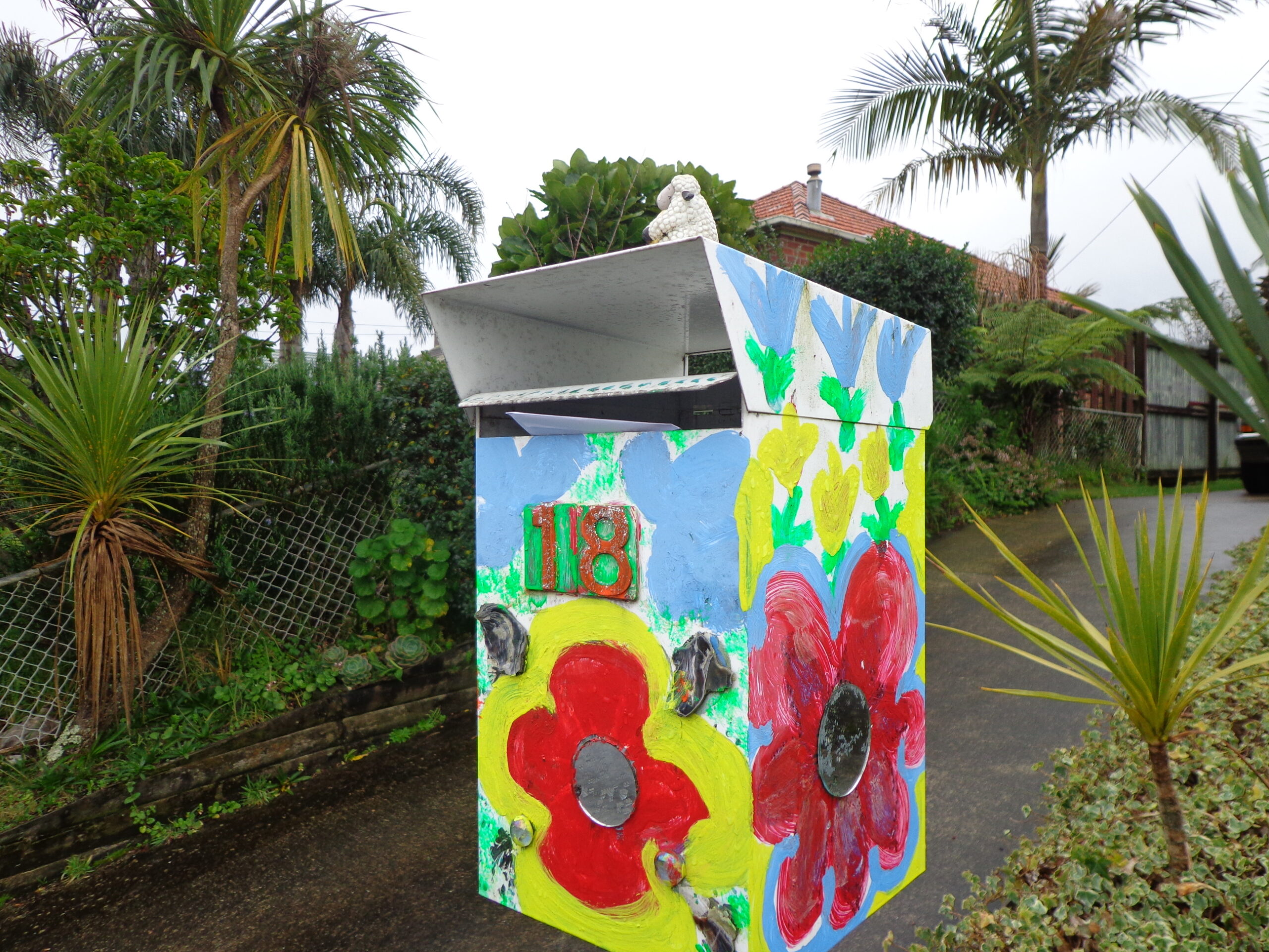
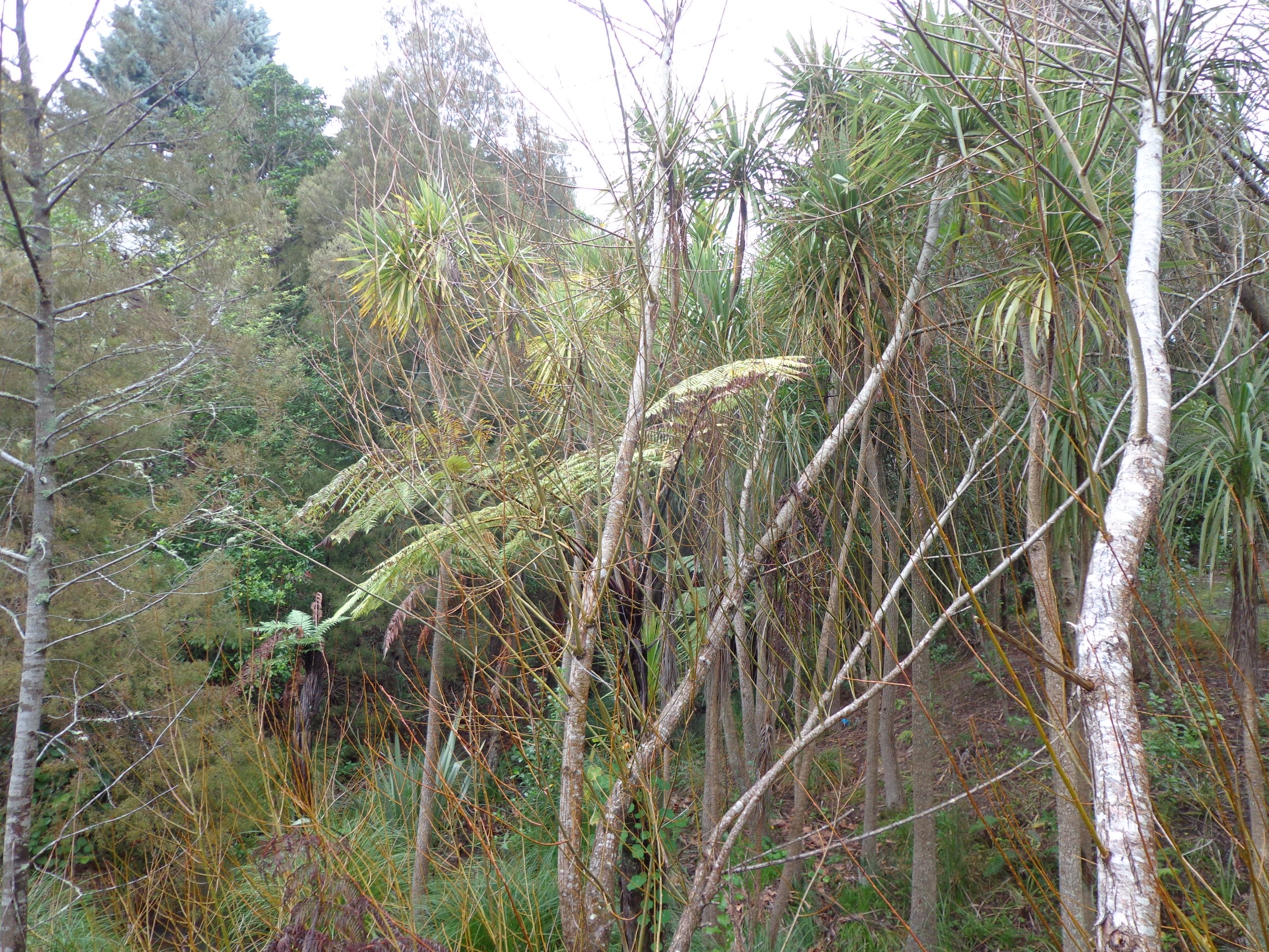
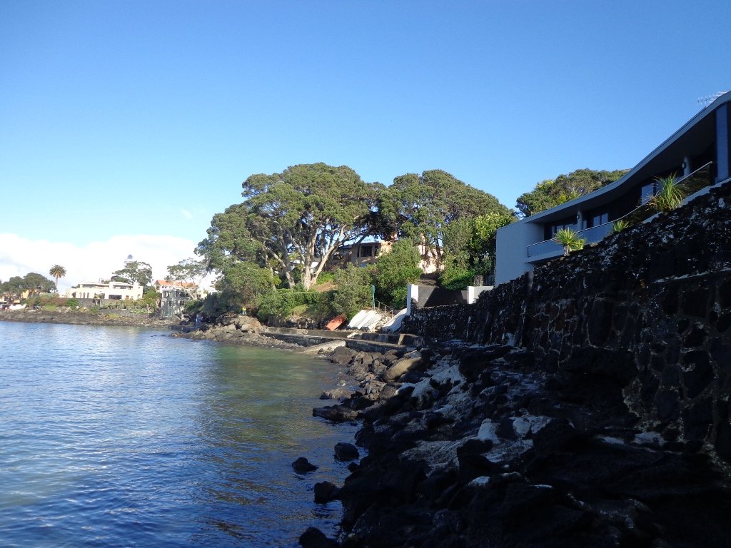
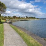
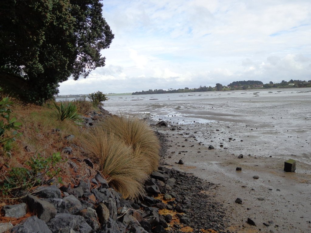
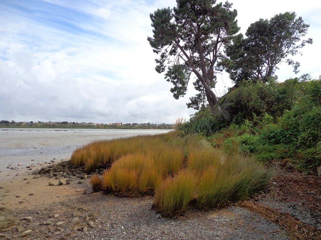
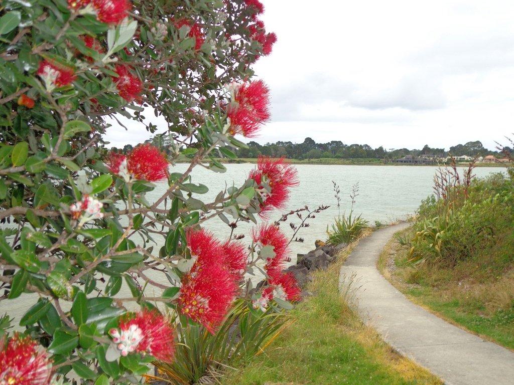
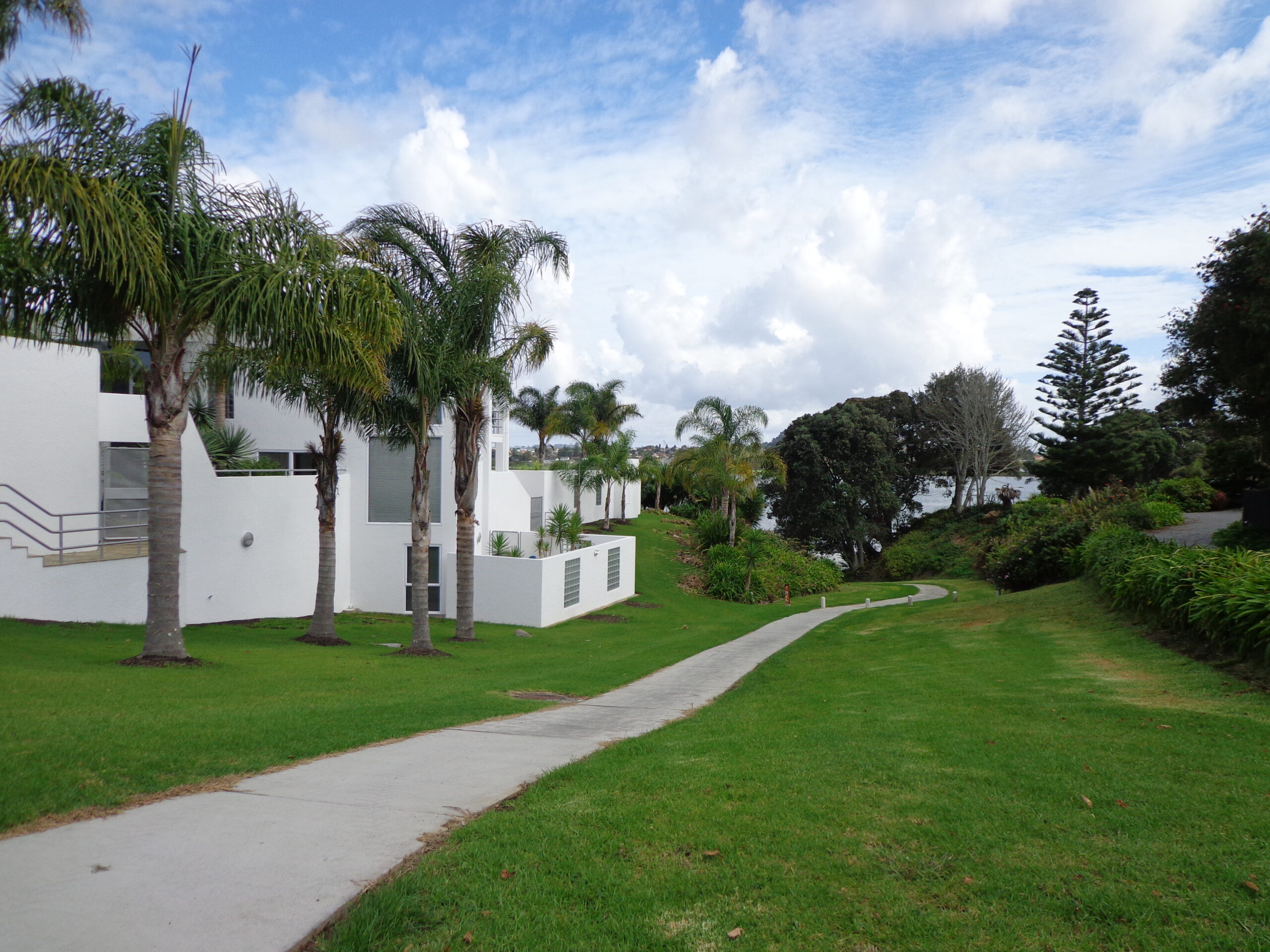
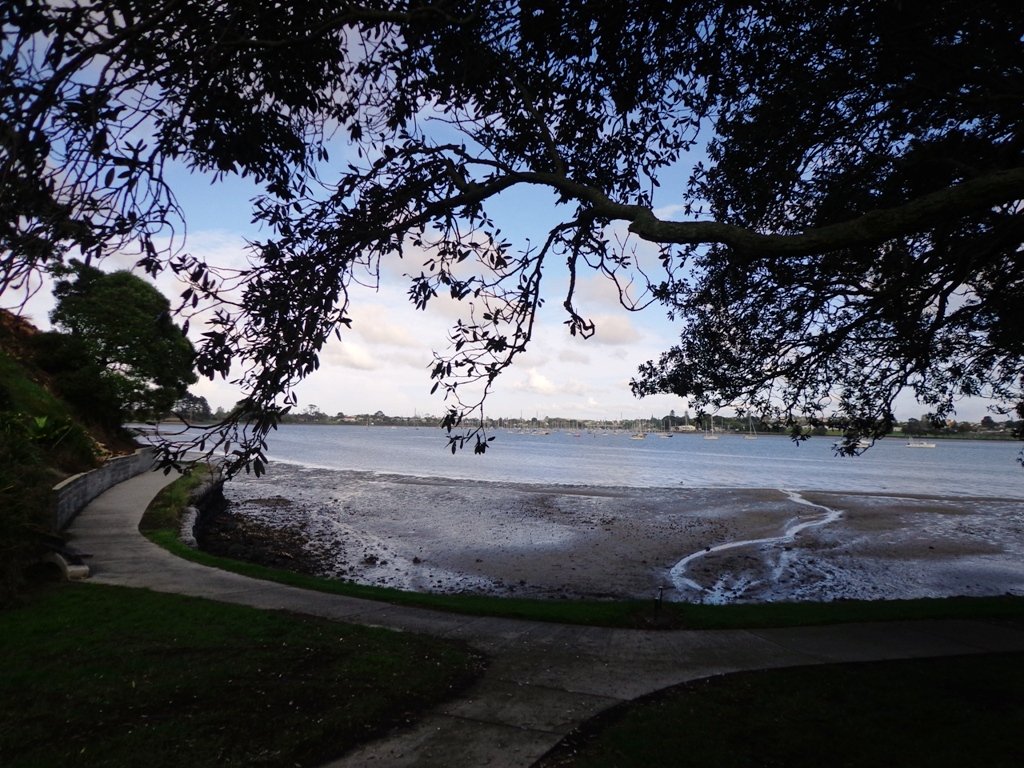
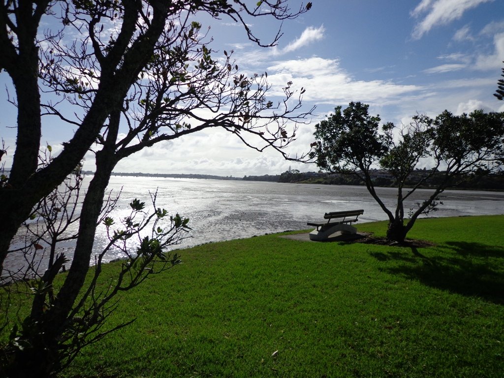
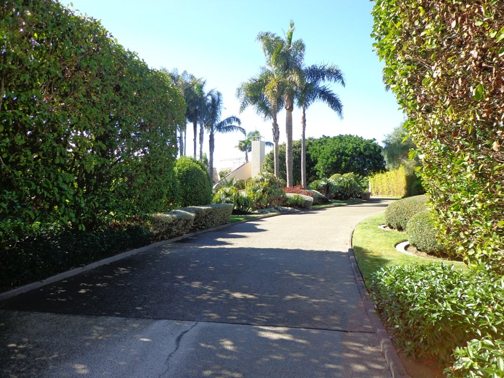
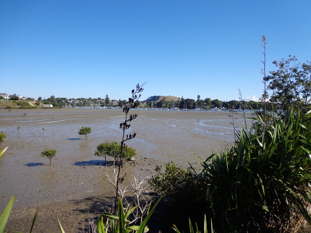
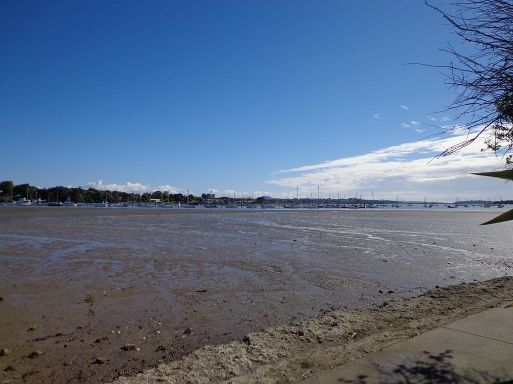
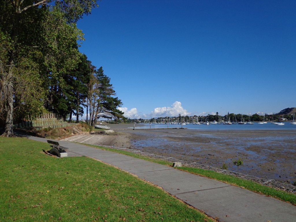
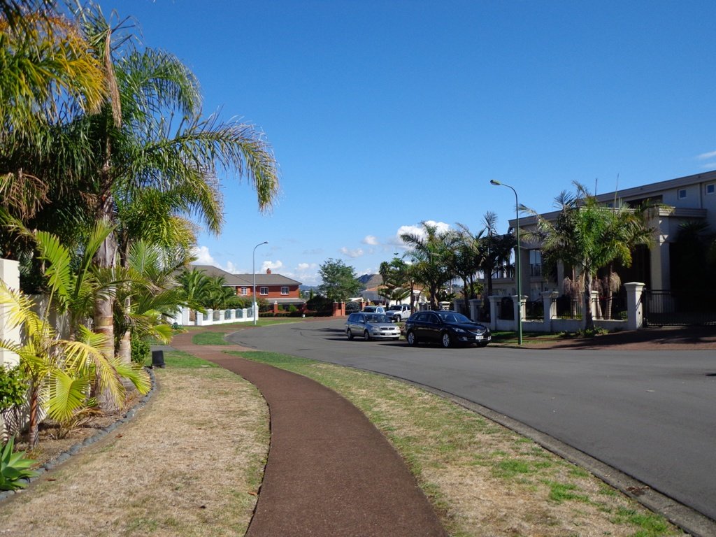
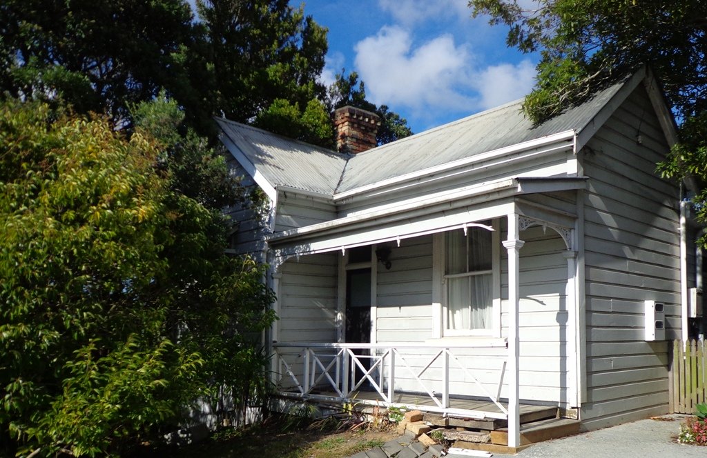
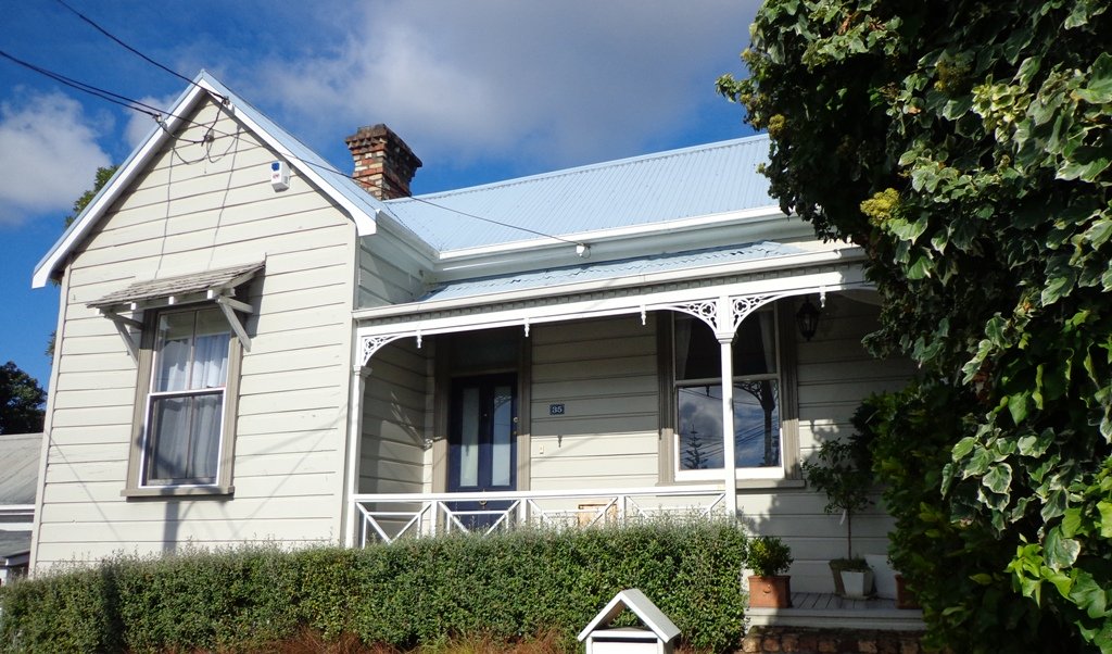
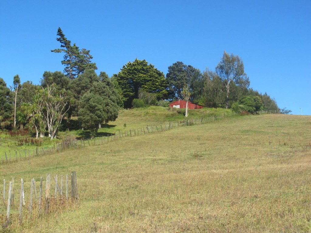
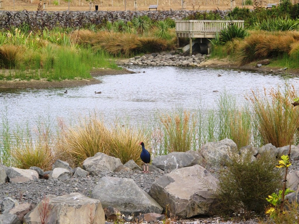
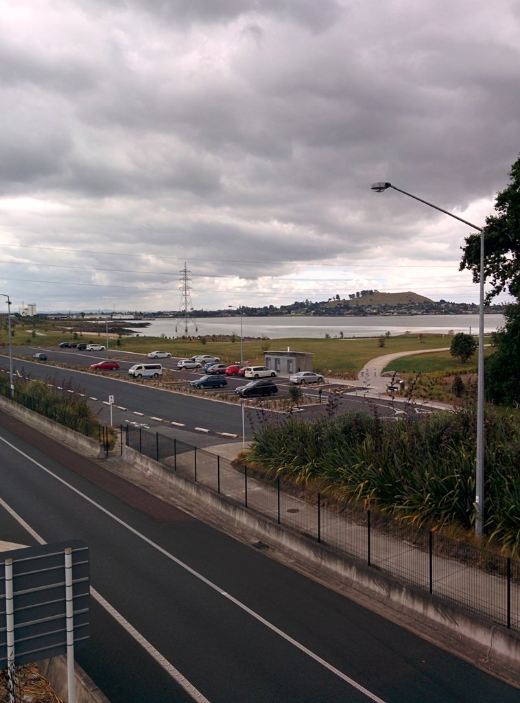
This Westmere Loop walk explores the gems of Wellpark Reserve and Jaggers Bush Reserve beside the creek, and touches on the harbour edge at Westmere Park and the end of Garnet Road. It is interesting to observe the varied style of housing. At low tide it is easy to take a short cut alongside the harbour.
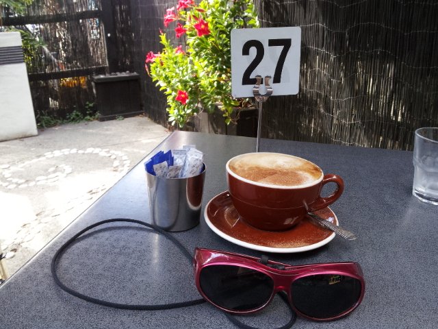
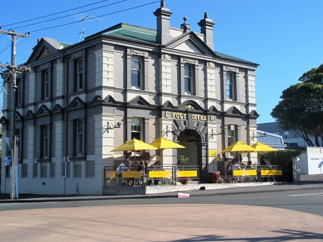
Despite the grey clouds and the rain forecast, we set off to explore the streets and reserves of Westmere, starting from the fabulous community-mindedGarnet Station Cafein Garnet Road.
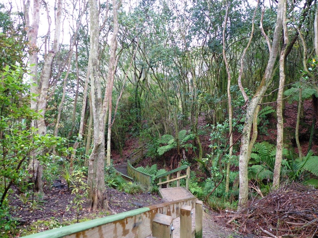
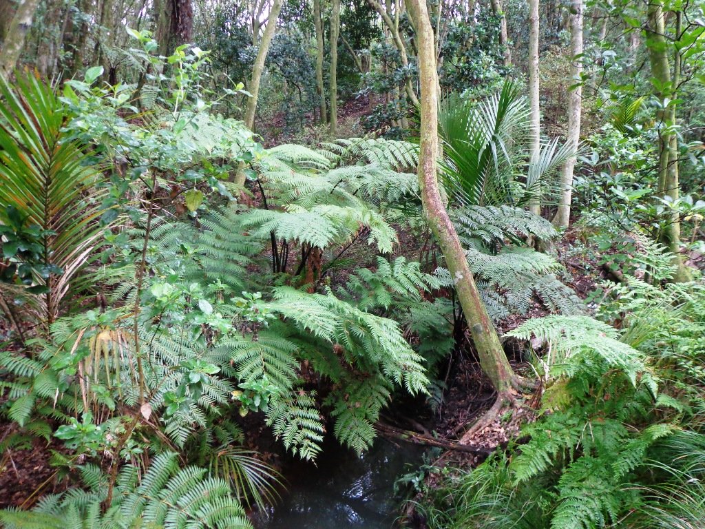
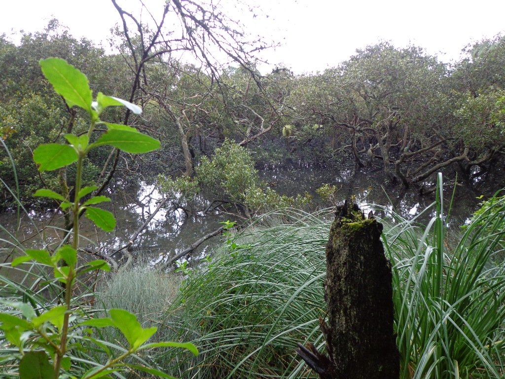
Description: Bush track, steps, inclines. Muddy in places when wet. Suitable for users of average fitness and mobility. To see: Native bush, views across Auckland Harbour, native birds. Time: approx. 75 minutes. (about 5.5 kms). Dog friendly (off-leash in Jaggers Bush Reserve). Parking: Garnet Road, Westmere. Buses: Warwick Avenue, Westmere MAP
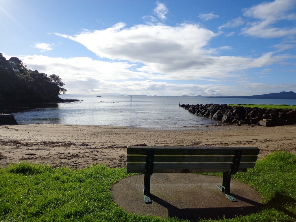
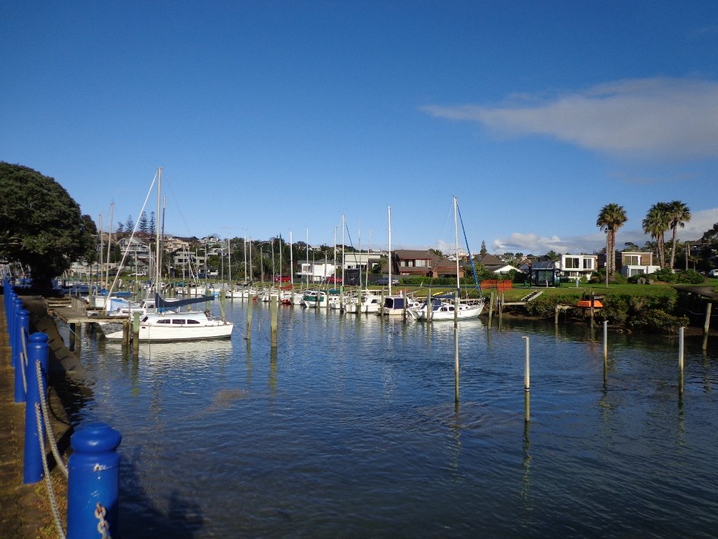
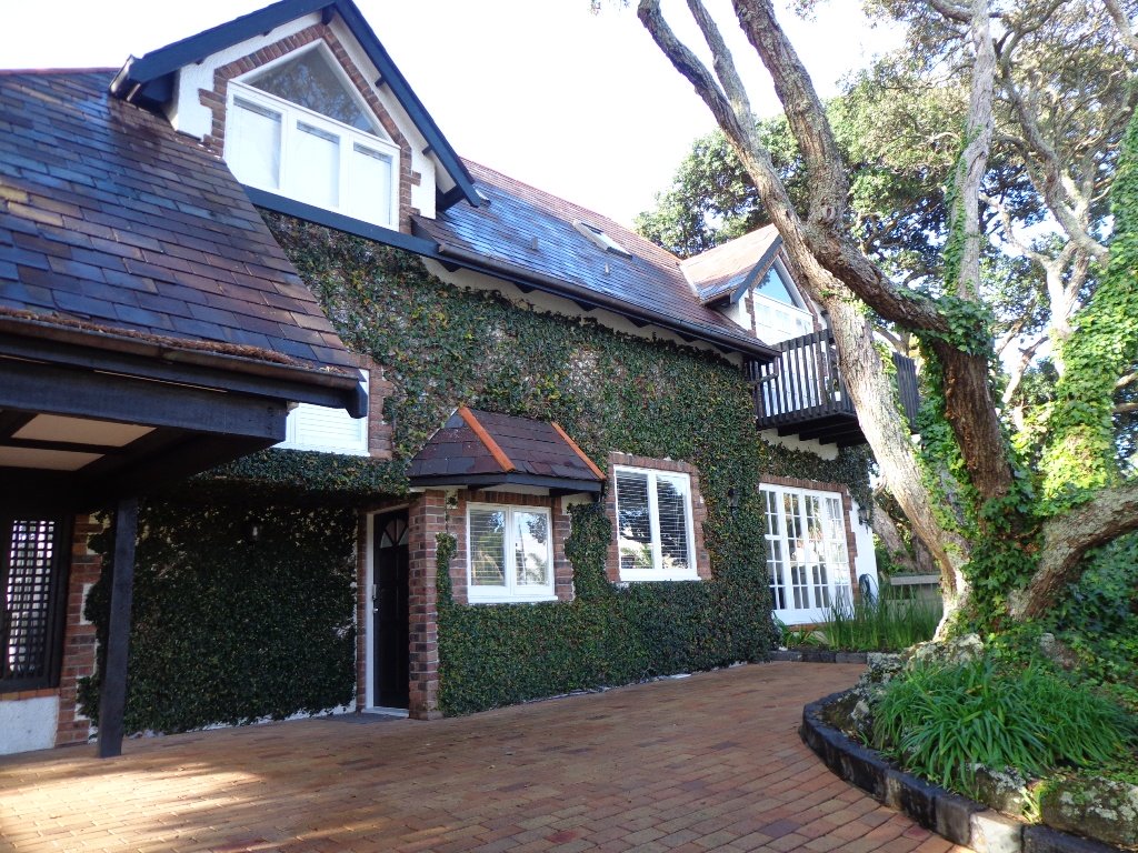
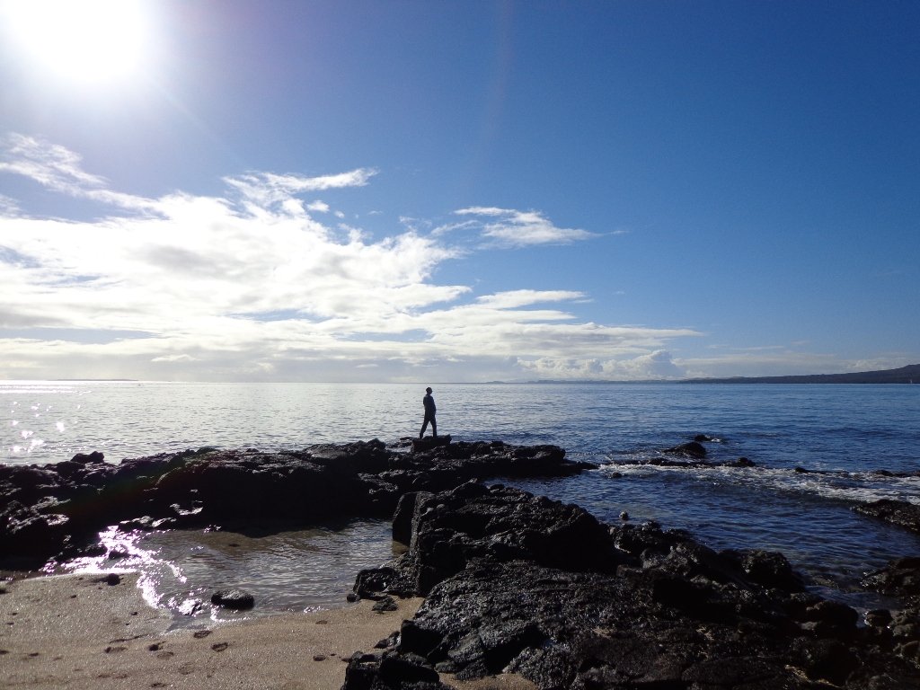
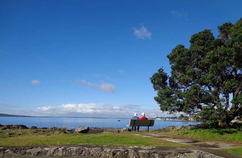
Many walkers on Auckland’s North Shore will be familiar with this route. We start off from the boat ramp at Takapuna, head along the shore line over sand, rocks and narrow pathways; past beautiful houses that overlook the Hauraki Gulf and Rangitoto Island to Milford, where we head inland along the marina before returning to Takapuna.
This walk suits sure-footed folk, and you would want to avoid high tide and stormy seas.
Dogs – Takapuna Beach is an off-leash exercise area 24/7 in winter, but only before 10am and after 6pm during daylight saving.
Description: Partly rocky and narrow seaside pathway. Slippery when wet. Avoid at high tide and stormy weather. Suitable for users of average fitness and mobility. To see: Hauraki Gulf, beaches, marina, residential homes. Time: approx. 75 minutes. (about 6.22 kms) Parking: Takapuna Boat Ramp, The Promenade Buses: Hurstmere Road, Takapuna (MAP)
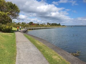
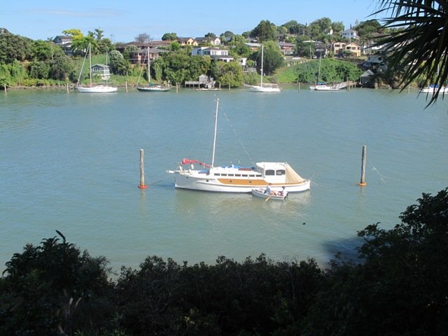
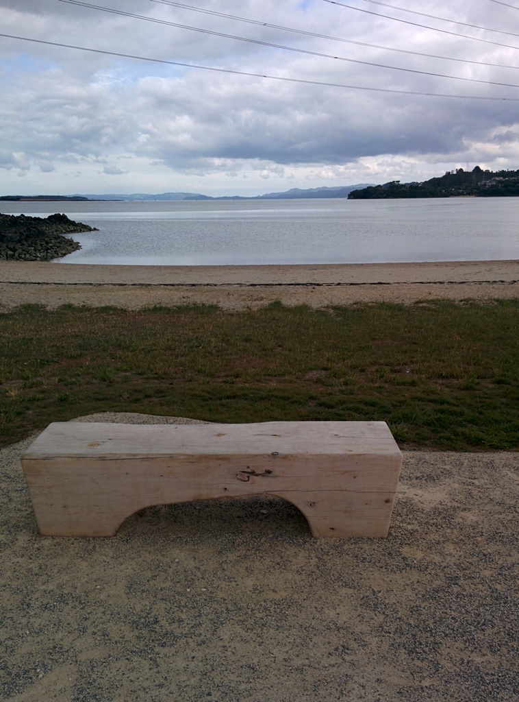
The walk along Conifer Grove Esplanade offers views across Manukau Harbour north to Wattle Downs and south to Karaka.
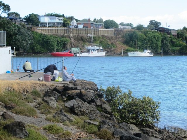
We met friendly chatty people along the shared walkway/cyclway, many with dogs and children in tow (there is a good selection of children’s playgrounds in the reserves).
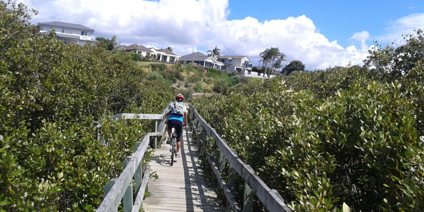
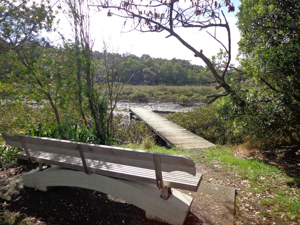
More information: My Auckland: Conifer Grove The boardwalk through the mangroves provides a mini adventure for young children (but do keep an eye on them – one child’s scooter took a flying leap into the mud when we were there; luckily the tide was out!). Suitable for family cycling – Brylee Drive Reserve, Takinini, 6km of shared paths.
Description: Mainly level paths, some steps. Suitable for users of average fitness and mobility. To see: Manukau Harbour views, mangroves, residential homes and gardens Time: approx. 60 minutes. (about 4.55 kms) Start: Walter Strevens Drive, Conifer Grove MAP
Stay on track…get your detailed guide and map (AS-069 Conifer Grove Circuit) over at our Walks Store and our Book Store (one of 12 walks featured in our books “Coastal part 2” and “Best of the South”).
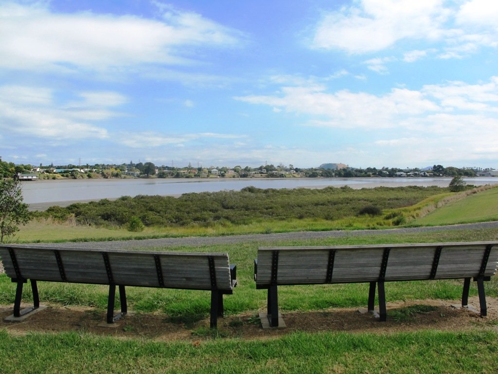
We have now added a fourth loop walk taking in the wonderful Pakuranga Rotary walkway. This 5kms loop walk follows the Tamaki Estuary through Farm Cove and explores the Sunny Hills suburban streets, with views of Mount Wellington and One Tree Hill.
You may wish to cycle the whole 5 kms of the Pakuranga Rotary walkway, or just stop and watch the tide on one of the many seats along the walkway. Families may like to take a fun break on the snakes and ladders playground near the Bramley Drive entrance.
The walking route is also great for prams/buggies and dog walkers (on leash only).
We stopped for coffee at the French inspired deli/cafe Mon Bichon, a delightful surprise in the Farm Cove village shops. You could buy your pastries from here to take and eat beside the walkway…(update: sadly it is no longer there).
Description: Mainly level paths (with one small incline). Suitable for users of average fitness and mobility. Suitable for cycling and push-chairs. To see: Tamaki Estuary, Mangroves, white volcanic pumice deposits, views of Mount Wellington and One Tree Hill, residential homes Time: approx. 60 minutes. (about 5 kms) Start: Fisher Parade, Farm Cove Village MAP
Stay on track…find this walk’s map and directions guide (AE-068 Pakuranga Farm Cove Loop) and other walk self-guides at our Walk Store and our Book Store (“Best of the East”)
Today we set out to explore another part of the Pakuranga Rotary Walkway, this time taking a loop behind Saint Kentigern College and through Manor Park.
This mainly flat 4km walk would suit workers at Pakuranga Plaza as well as residents. Views of Mount Wellington and water craft. Great for cyclists (cycle the full length of the walkway to Pigeon Mountain) and dog walkers (on leash – please refer to comments below), andfor prams/buggies .
The day was calm and the skies blue – perfect for a walk!
Description: Mainly level paths. Suitable for users of average fitness and mobility. To see: Views of Mount Wellington, water craft, residential homes Time: approx. 45 minutes. (about 4.0 kms) Start: Pakuranga Plaza MAP
This Auckland walk takes you from Kingsland Train Station (with views of Mt Albert), touches the city end of Dominion Road, Eden Quarter, and through the suburban streets of Mt Eden, to Mt Eden Village and return.
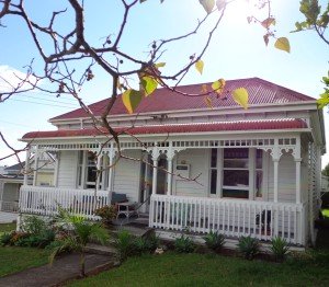
You can enjoy the tree lined footpaths and beautiful old homes. And this walk makes it very apparent that Eden Park is really in Kingsland.
You can choose to take your time and stop at various shopping precints along the route or do the 90 minute walk in one gulp!
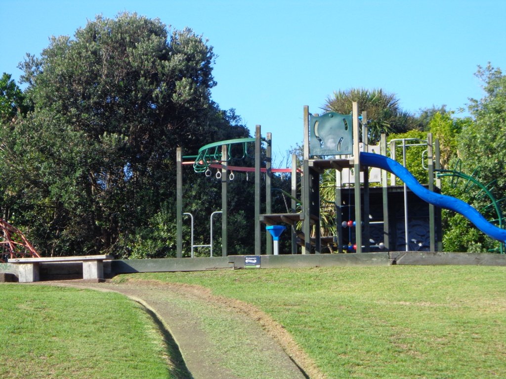
Description: Mainly level paths and steps. Suitable for users of average fitness and mobility. To see: Kingsland, Dominion Road, Mt Eden Shops; residential homes Time: approx. 90 minutes. (about 7.0 kms). Dogs on-leash. One small children’s playground. Start: Kingsland Train Station MAP
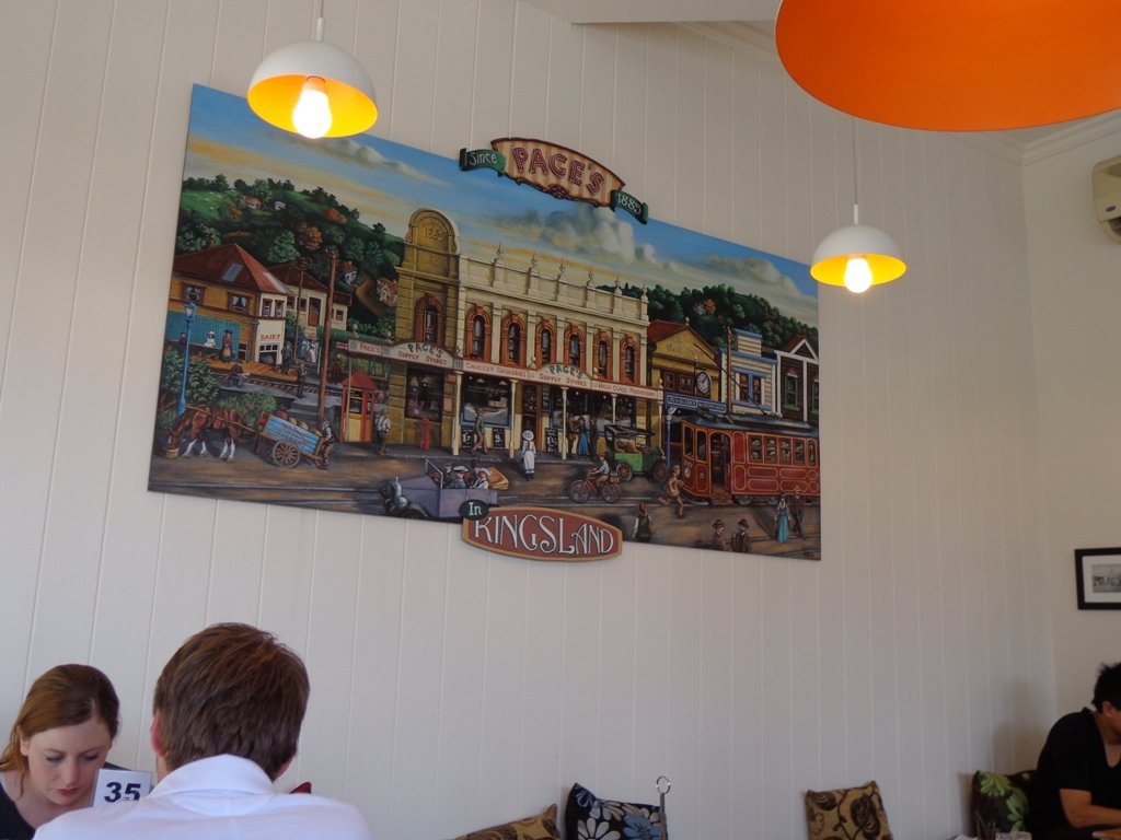
Today we explored a walk that we have driven past many times on the North Western Motorway. This short walk in central Auckland starts off at Kingsland Railway Station, and explores the shops, residential streets, reserve and park in the local area (and like all of our circular Auckland walks – you may choose to start from other places along the route).
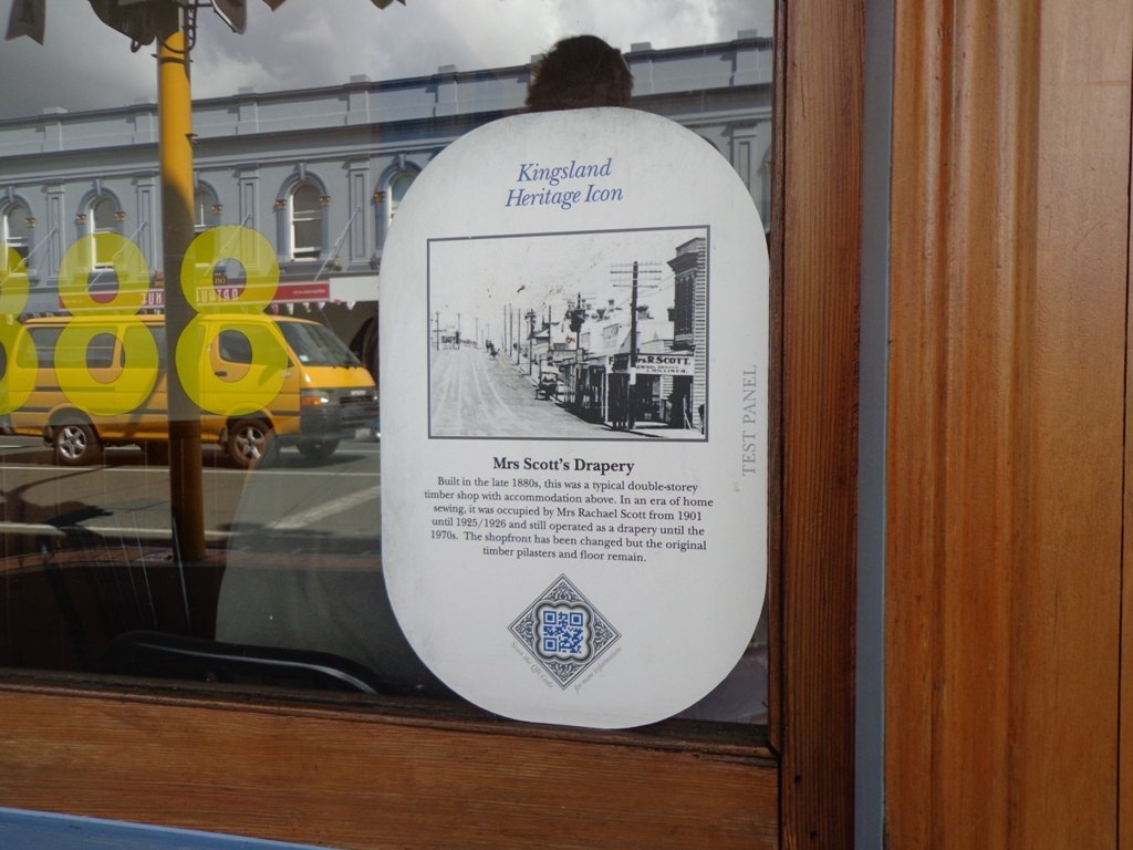
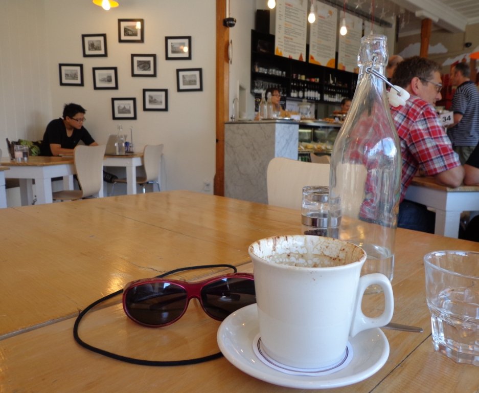
Kingsland is full of character with interesting olde worlde shops, cafes, bars and pubs which were a great feature for the 2011 Rugby Word Cup. Sitting in the cafe, you could imagine that you had gone back in time. Our retail discovery was a Made in New Zealand shop called Mixt Art & Design which has some very unique products.
Description: A mix of level and steep paths. Suitable for users of average fitness and mobility. To see: Kingsland Shops, cottage style homes, bush track Time: approx. 60 minutes. (about 5.0 kms) Parking: Off new North Road Start: Kingsland Railway Station MAP
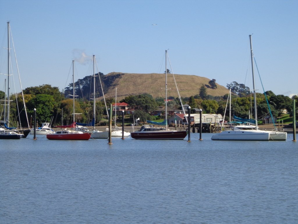
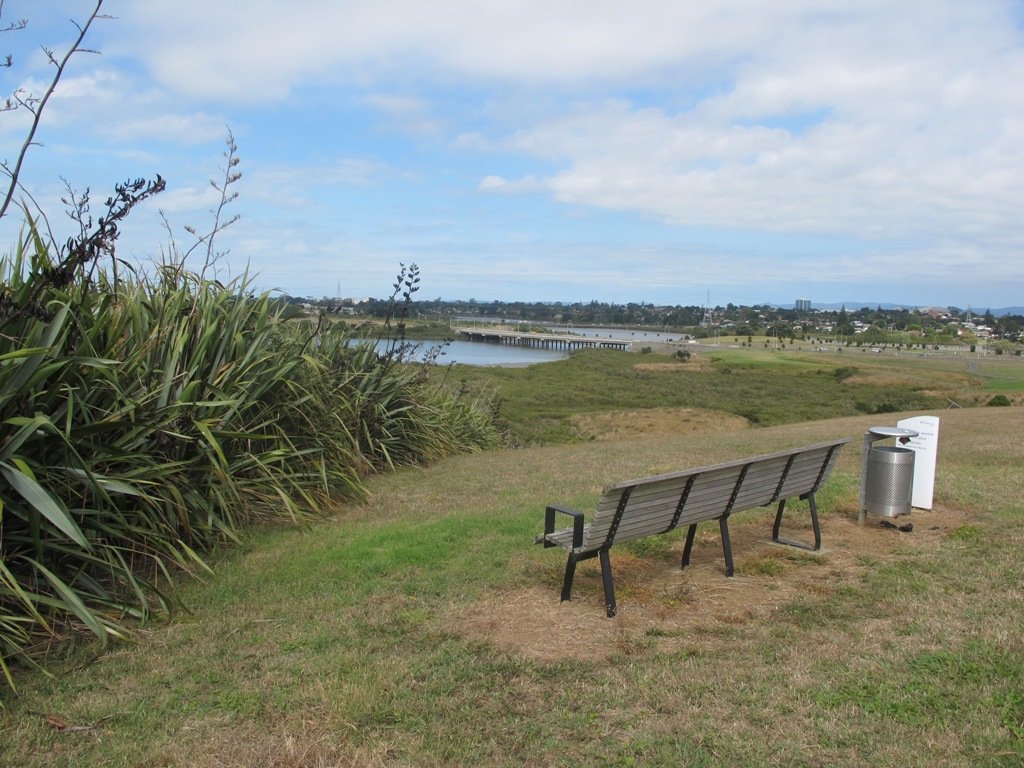
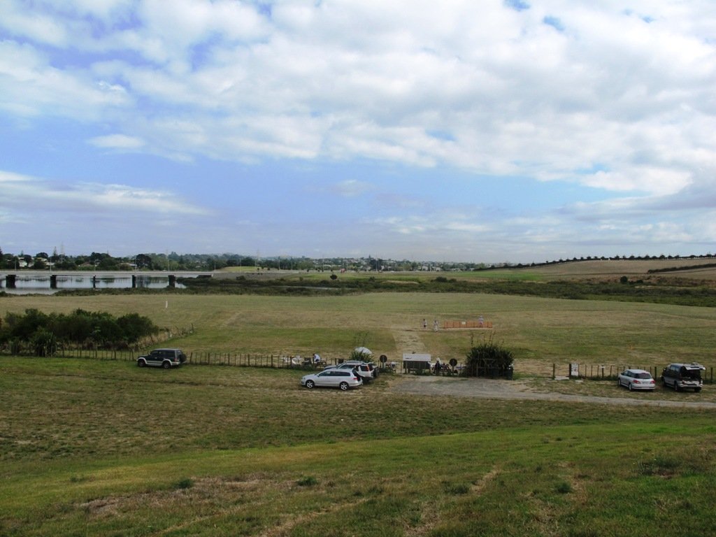
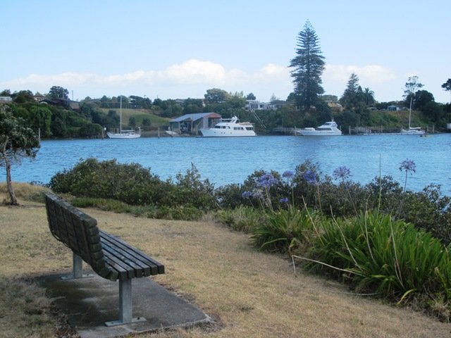
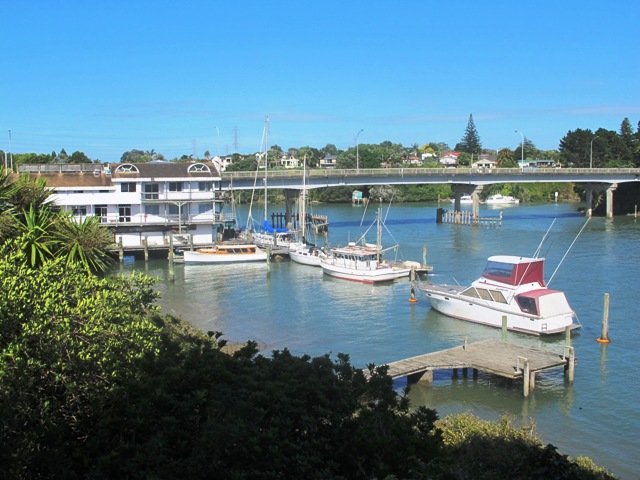
If you have been out to Highbrook Business Park in South Auckland, you may have noticed a walkway along the waters edge to the north. This has intrigued my friend and I for some time, so today we set out to explore and work out a way to include it an interesting circular walk.
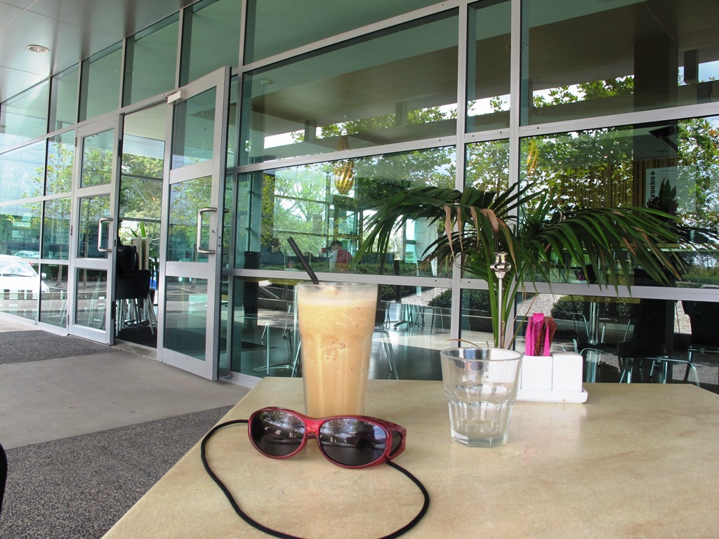
Mission accomplished and rewarded with a delicious iced coffee at Highbrook Park’s Sierra Cafe! **Update December 2014** There is now a further selection of cafes and eateries at The Crossing (we had coffee at The Light Horse).
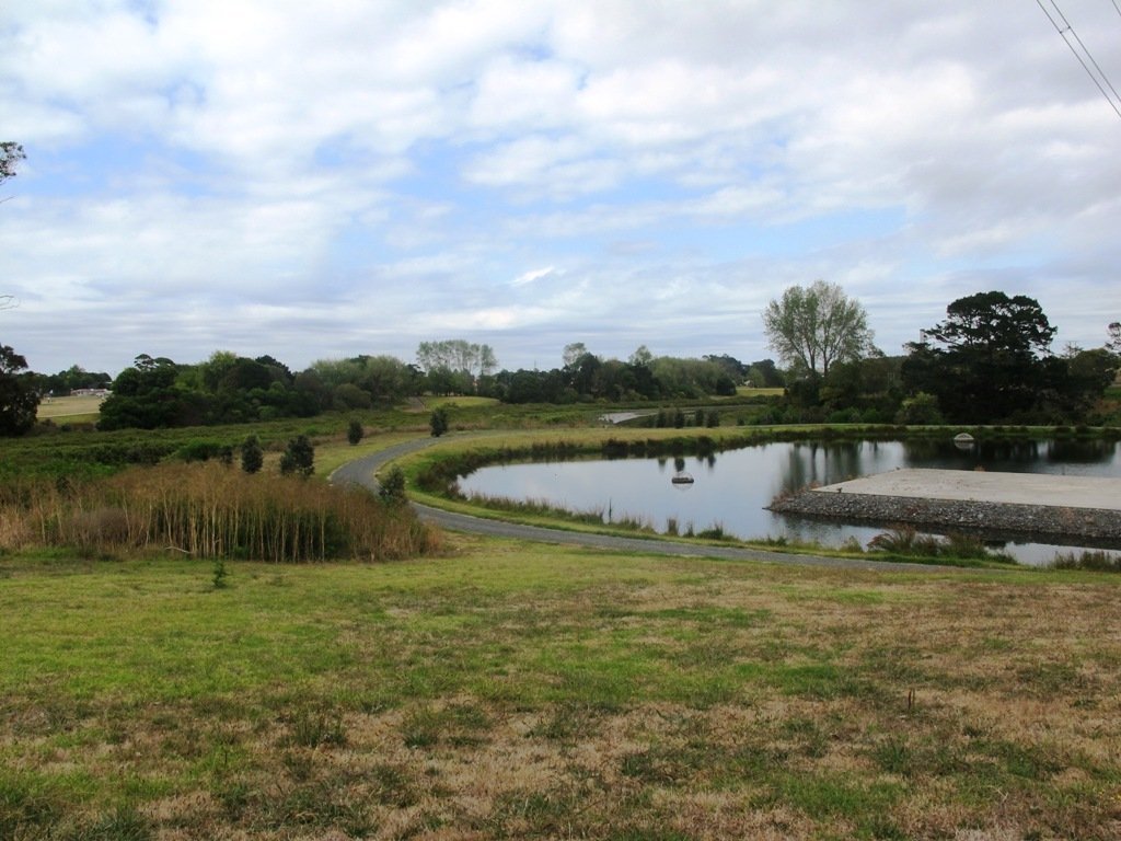
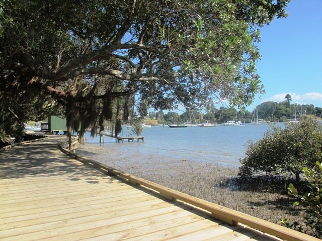
According to “Volcanoes of Auckland, the Essential Guide” Highbrook was developed as a racehorse stud farm before it was converted to a business park. The explosion crater’s proper name is Pukewairiki which means “the hill with the associated small lagoon”. The crater floor is now salt marsh and mangrove forest.
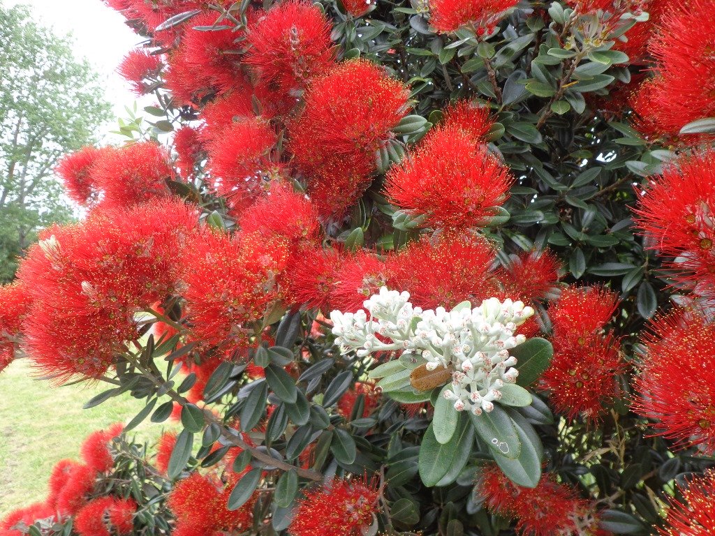
The pathway along Highbrook Park is safe for family cycling. This walk does not include a playground and would be suited for older children. Look out for the pohutukawa blossoms early summer. There is an off-leash dog exercise area on the Otara Creek (south) side of this walk.
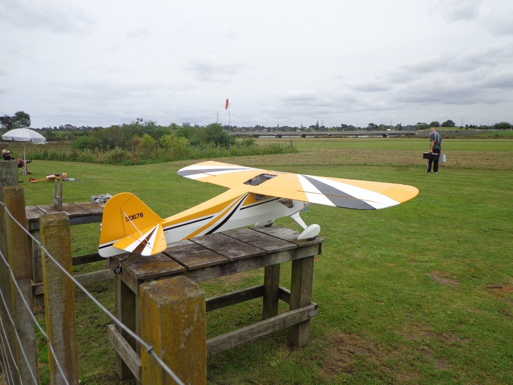
Description: A mix of level and slightly hilly paths. Suitable for users of average fitness and mobility. Suitable for mountain bikes. To see: Pukekiwiriki Crater, wetlands, views of Tamaki Estuary, Otara Creek, Pakuranga Creek, Mount Wellington and other volcanoes, Highbrook Model Airpark. Time: approx. 75 minutes. (about 5.8 kms) Start: Business Parade North, Highbrook MAP
Stay on track…get your detailed guide and map (AS-063 Highbrook Park Loop) over at our Walks Store and our Book Store (one of 12 walks featured in our books “Dog Friendly Walks part 1” and “Best of the South”).
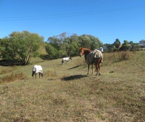
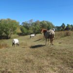
This walk makes use of the reserves within walking distance of Glen Innes Train Station. We visit the horse paddocks of Apirana Reserve with views of Mount Wellington, Eastern Beach and on a clear day, the Coromandel (this is part of the 7.5km Point to Point Walkway) and then walk through the native bush within St Johns Bush.
Apirana Reserve is part of the Point to Point Walkway
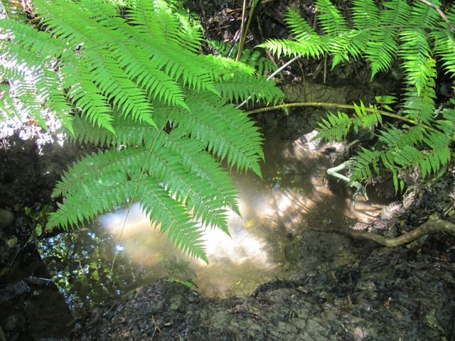
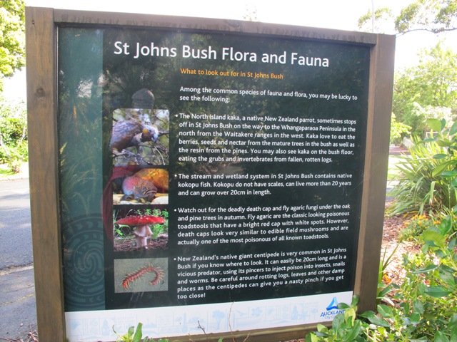
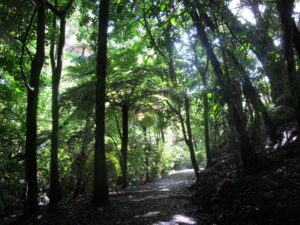
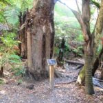
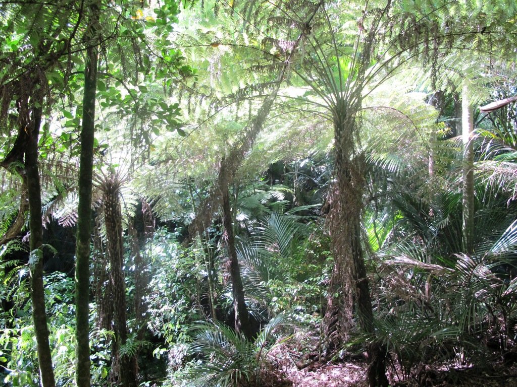
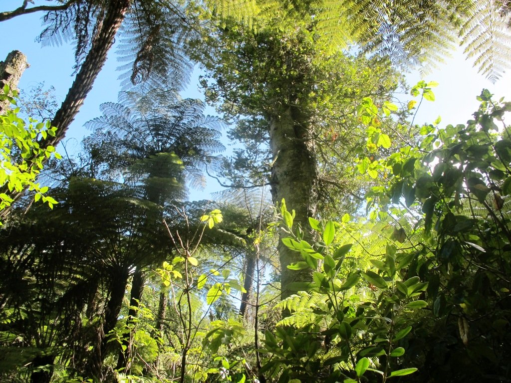
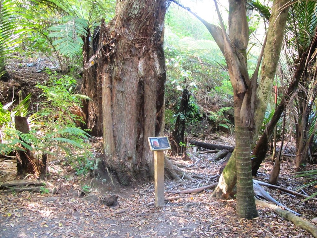
St Johns Bush is a green corridor for birds flying across Auckland. There is a wetland area with native fish. This area is home to over 165 different species of plants. The kauri tree is over 150 years old.
Joining up reserves to minimise street walking is a challenge, but we are very fortunate to have so many green spaces in Auckland. Our dream is that some time in the future, the reserves will be linked together to help us commute safely by bicycle or on foot (and hopefully wheelchairs), from one area to another, minimising road use.
Dogs- off leash exercise area in Merton Reserve.
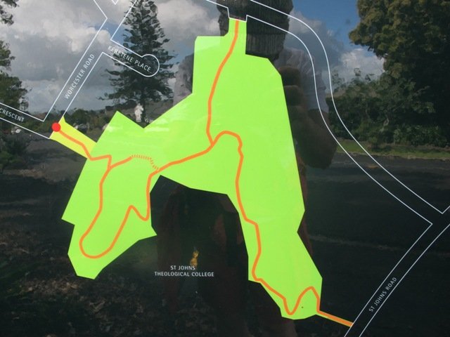
Description: A mix of level and hilly paths. Suitable for users of average fitness and mobility. To see: St Johns Bush native trees and ferns, residential housing, reserves, horse paddocks,views of Eastern Beach and the Coromandel, city skyline view Time: approx. 60 minutes. (about 4.5 kms) Start: Glen Innes Train Station MAP
Stay on track…get your detailed guide and map over at our Walks Store (AE-061 Apirana Saint Johns Loop) and our Book Store (one of 12 walks featured in our books “Dog Friendly Walks part 3” and “Best of the East”).
We have previously explored St Johns Bush and wanted to incorporate the beautiful nature reserve into one of our longer circular walks.
St Johns Bush native ferns
This walk does just that, as well as passes through the reserves and playgrounds (Rutherford Reserve has a flying fox) within the suburb of Saint Johns. This walk suits adults as well as primary school age children. St Johns Bush has signposts to help us learn about the native trees and ferns.
Description: A mix of level and slightly hilly paths. Suitable for users of average fitness and mobility. To see: St Johns Bush native trees and ferns, residential housing, reserves Time: approx. 45 minutes. (about 4.0 kms) Dog off leash area: Allen Johnston Reserve Start: Ipswich Place, Saint Johns MAP
Stay on track…get your detailed guide and map over at our Walks Store(AE-060 Saint Johns Explorer) and our Book Store (one of 12 walks featured in our books “Urban Bush” and “Dog Friendly Walks part 2”).
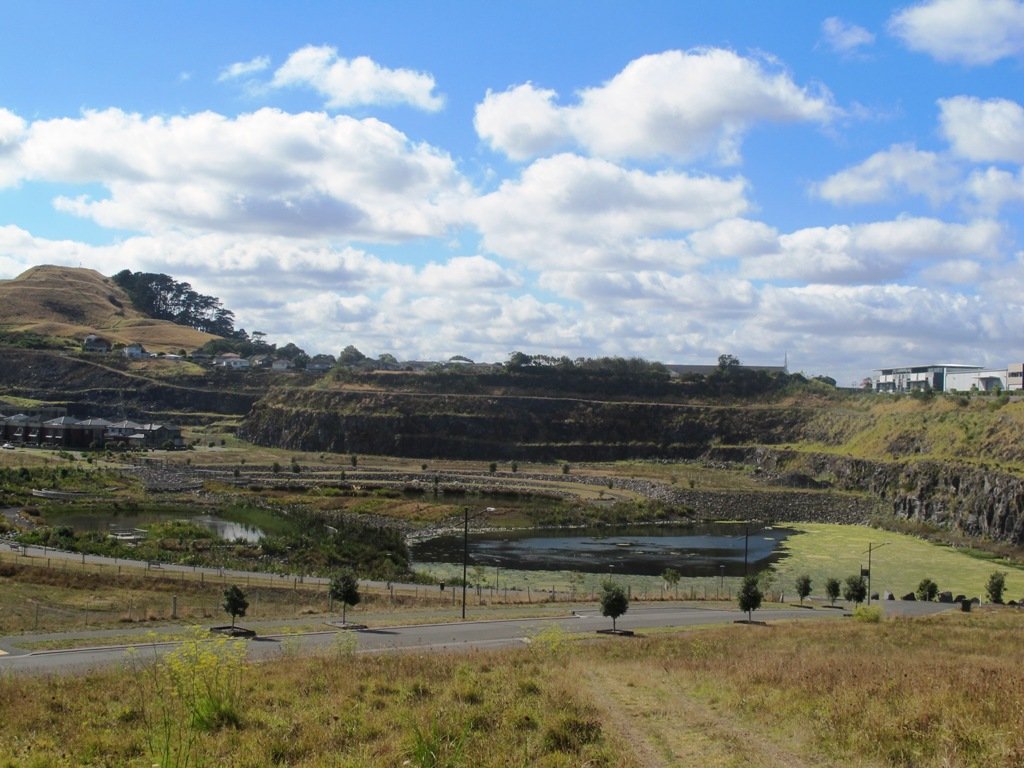
This walk around the base of the Mount Wellington volcanoe explores the Stonefields residential development, the Maungarei Springs Wetland and the businesses along Lunn Avenue. You may wish to extend the walk by heading up to the summit of Mount Wellington for views over Auckland, or explore the streets and houses of Stonefields.
The volcanic site of Mount Wellington was formed 9000 years ago. It was used as a village by the Maori with evidence dating back 600 years ago. Winstones Limited began quarrying stone here back in 1936—and much of the stone was used for building Auckland. In 2001 the site was sold and is still in development as a large residential area.
Description: A mix of level and slightly hilly paths. Suitable for users of average fitness and mobility. To see: Mount Wellington, Maungarei Springs Wetlands, re-used stone quarry (Stonefields) Time: approx. 45 minutes. (about 4.0 kms) Start: Mitre 10, Lunn Avenue MAP
Part of our Pakuranga Loop Walk is along the Pakuranga Rotary Walkway which currently extends to Pigeon Mountain, along the Tamaki Estuary and Whakaaranga Creek.
It is a safe cycling, jogging and walking route. The walkway is paved and relatively flat, making it suitable for wheelchairs, pushchairs and a range of fitness levels. The walkway along the estuary is safe for family cycling.
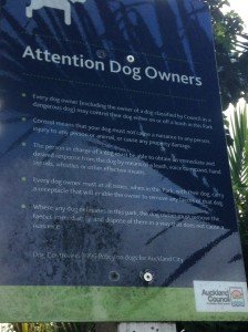
The walking route is also great for prams/buggies and dog walkers (on leash). There is an off leash dog exercise area – along the Pakuranga Rotary Walkway between the Panmure Bridge and Waakaranga Reserve which permits dogs off-leash under the owners control. This is a huge off leash walk but most people do not know about. This sign can be found at the entrance to the walkway at Kerswill Place. See Auckland Council dog rules.
These flat river plains were used to grow oats, hay and wheat up until the 1950’s. Pakuranga was then known as “the granary of Auckland”.
This walk section looks into the mouth of the Panmure Lagoon from the opposite bank.
Description: A mix of level paths and slightly inclined paths. Suitable for users of average fitness and mobility. To see: Estuary views, boats, wetlands, residential housing, Mt Wellington, Pakuranga Mall Time: approx. 40 minutes. (about 3.75 kms) Start: Pakuranga Mall Map
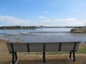
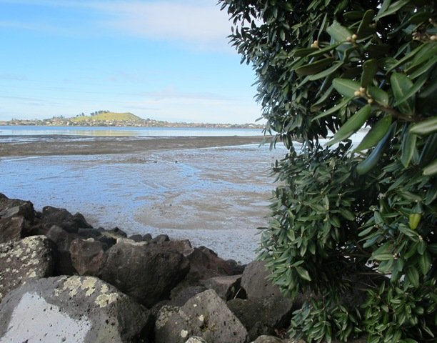
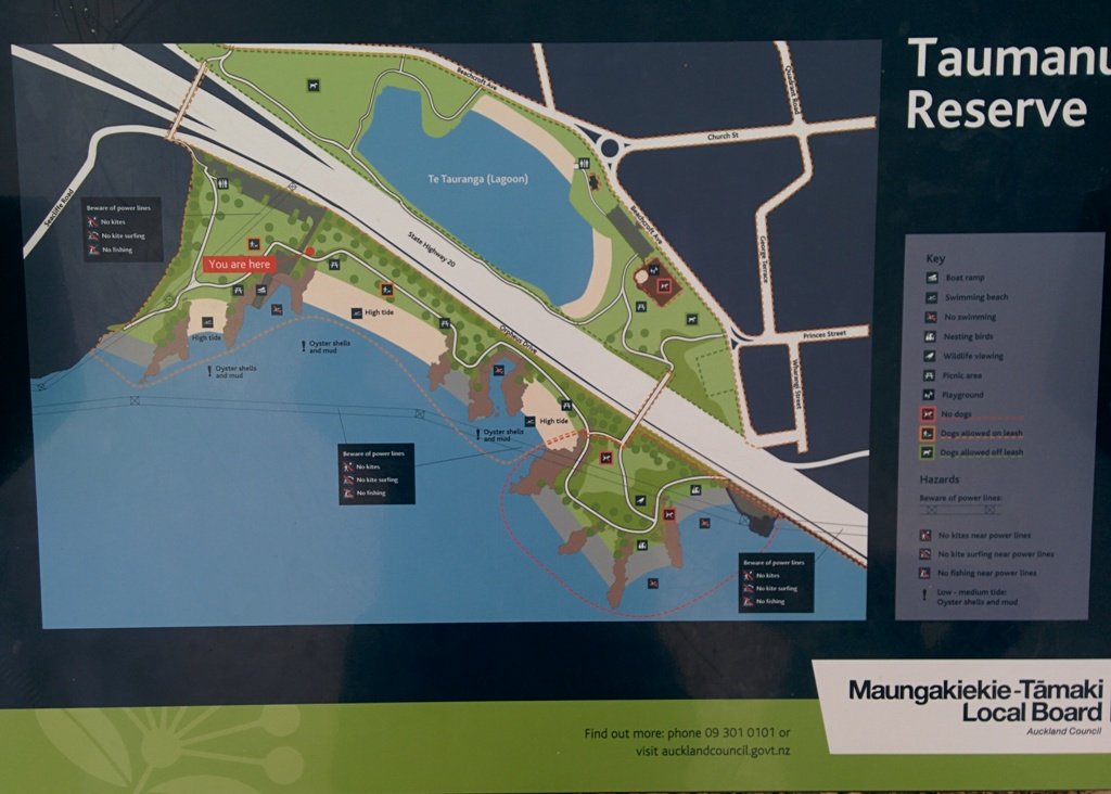
We began our walk today with a route in mind, starting off from Onehunga Train Station. But as we progressed we changed our mind and found a walk that neither of us had done before, taking in part of Onehunga’s foreshore (as of November 2015Taumanu Reserve).
View of Mangere Mountain from Onehunga Foreshore. The Foreshore has since been turned into Taumanu Reserve.
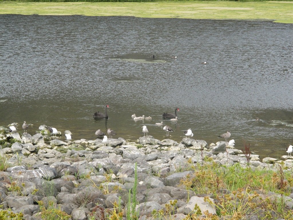
The walk follows the edge of the Onehunga Bay Reserve and then the edge of Manukau Harbour along Orpheus Drive. In summer, I would expect to see more shore birds. Even though the walk passes through part of the industrial area of Onehunga, it is still interesting.
This mostly flat walk can be accessed from Mangere Village also.
Onehunga Bay Reserve has a great wide open space (off leash dog exercise area) for dogs to run around in, and, at high tide, a lagoon to swim in. At low tide it is an esturine mud flat full of stinky, black mud (gumboots required in winter/after rain in the reserve itself). Cycle paths and a children’s playground included.
UPDATE 2013/2014: Auckland Council is “currently restoring the foreshore next to Orpheus Drive to bring back a natural coastal edge and create recreational opportunities for the community. The project will provide high-quality open space, beaches, a boat ramp and picnic areas. A new bridge will connect the new land to the Onehunga lagoon.” (source www.aucklandcouncil.govt.nz) Video: Secrets of New Zealand’s new $28m beach
To see: views of Mangere Mountain, shore birds, Onehunga Wharf, mangroves, Waikaraka cemetery, industrial area, reclaimed beach at Taumanu Reserve. Time : approx. 60 minutes. (about 5.77 kms) Children’s Playgrounds: Onehunga Bay Reserve Dogs: Off leash area in Onehunga Bay Reserve (caution: muddy after rain). Dogs not allowed within Taumanu Reserve. Start from: Princes Street, Onehunga MAP
We stopped off at The Library Cafe for refreshments. There is a Columbus Cafe on the corner of Onehunga Mall and Princes Street.
Stay on track…get your detailed guide and map over at our Walks Store (AC-046 Onehunga Foreshore Loop) and our Book Store (one of 12 walks featured in our books “Coastal part 2” and “Dog Friendly Walks part 3”).
Self guided short circular walks in Auckland for health, fitness and fun


 Westmere Loop Walk$1.79