Tag Archives: Duck feeding

Mt Roskill Explorer

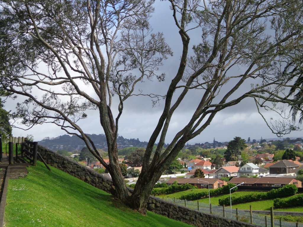
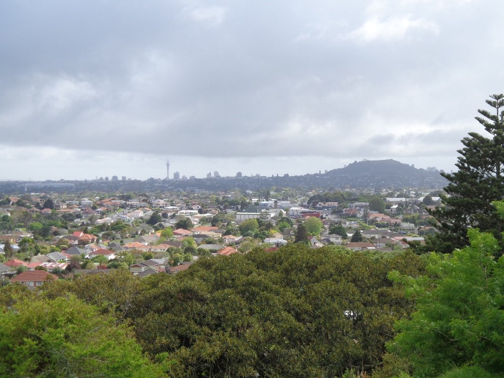
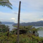
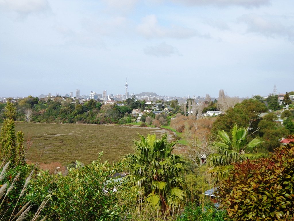
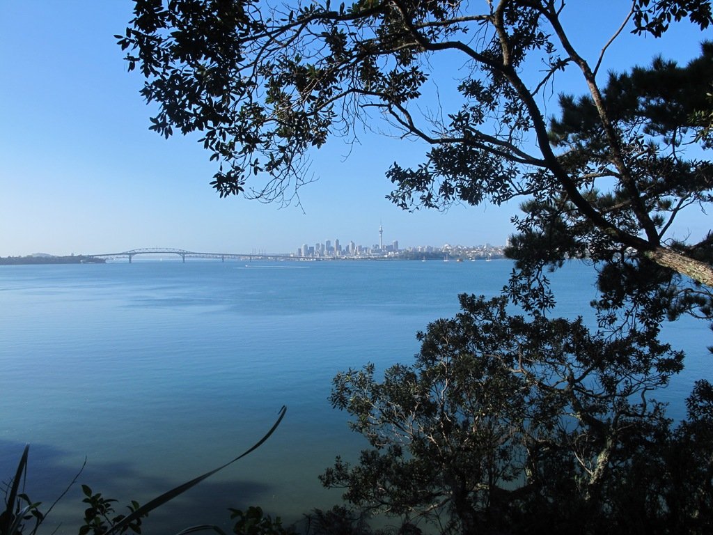
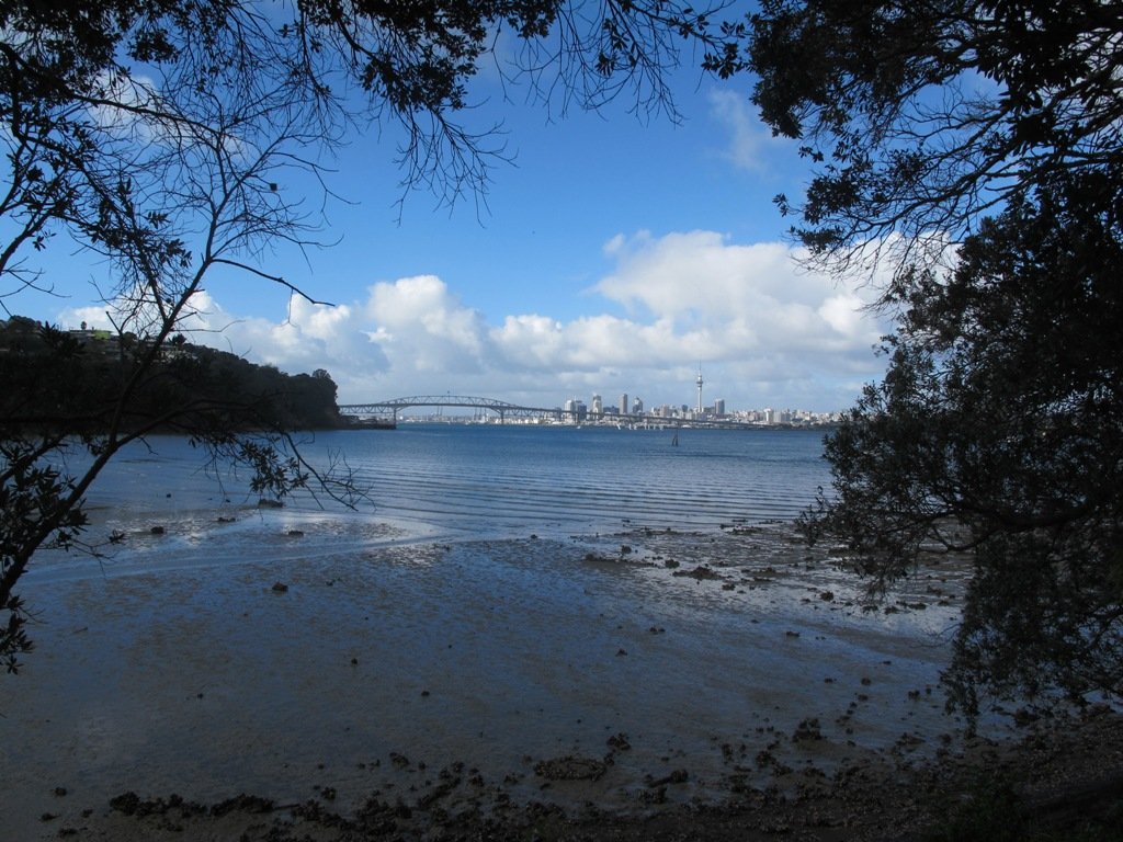
We had overlooked Mt Roskill as a place to walk and explore… until today.  The volcano double cone and twin craters of Mt Roskill have been destroyed through the installation of a water reservoir, but from the top it is easy to view Mt Albert, Mt Eden, Big King and One Tree Hill.

Mt Roskill © 2011-2013 Unleashed Ventures Limited

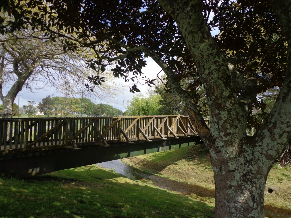
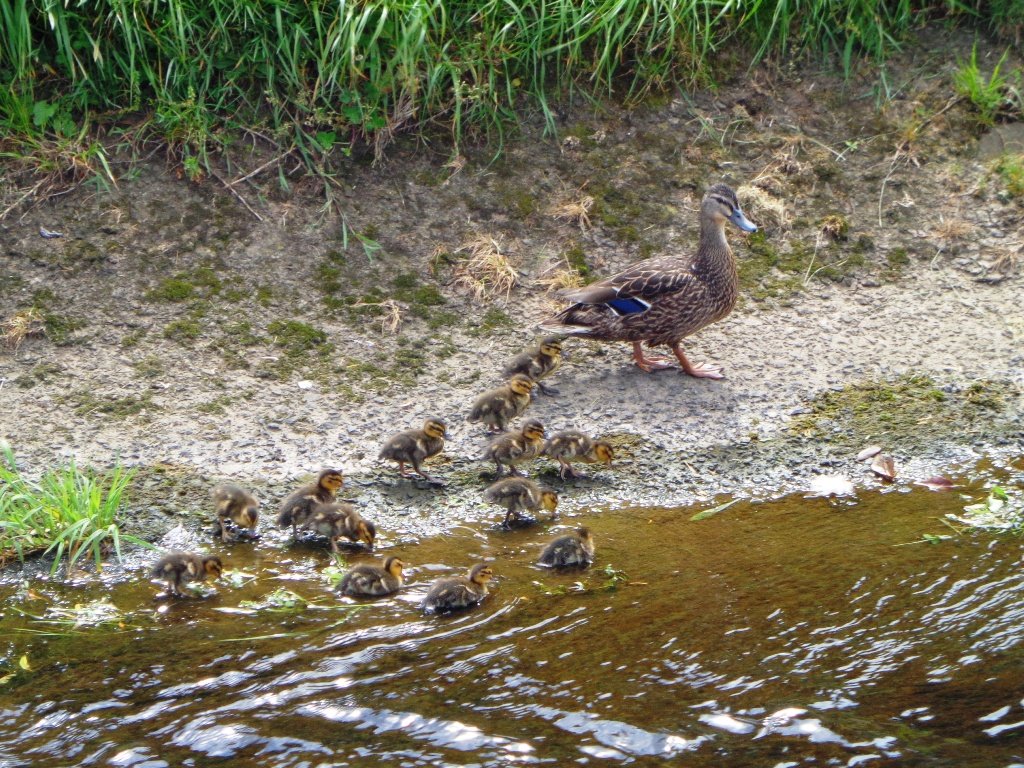
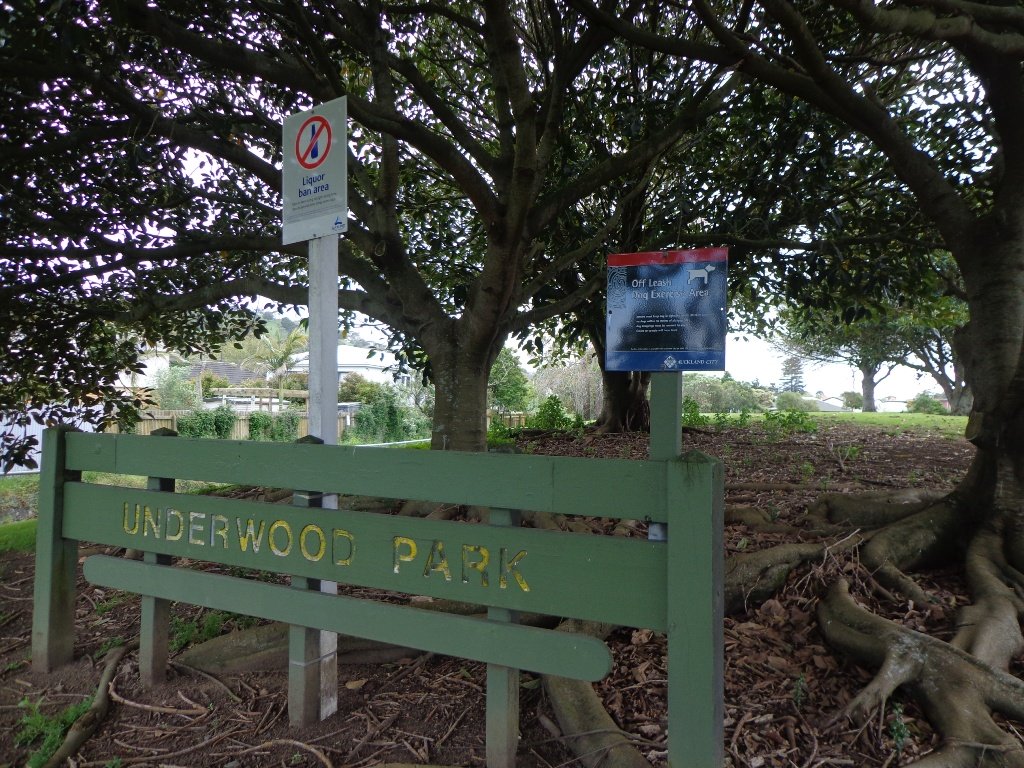
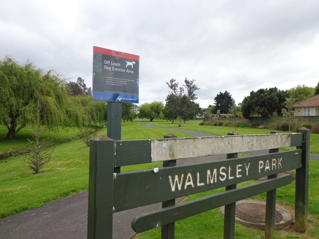
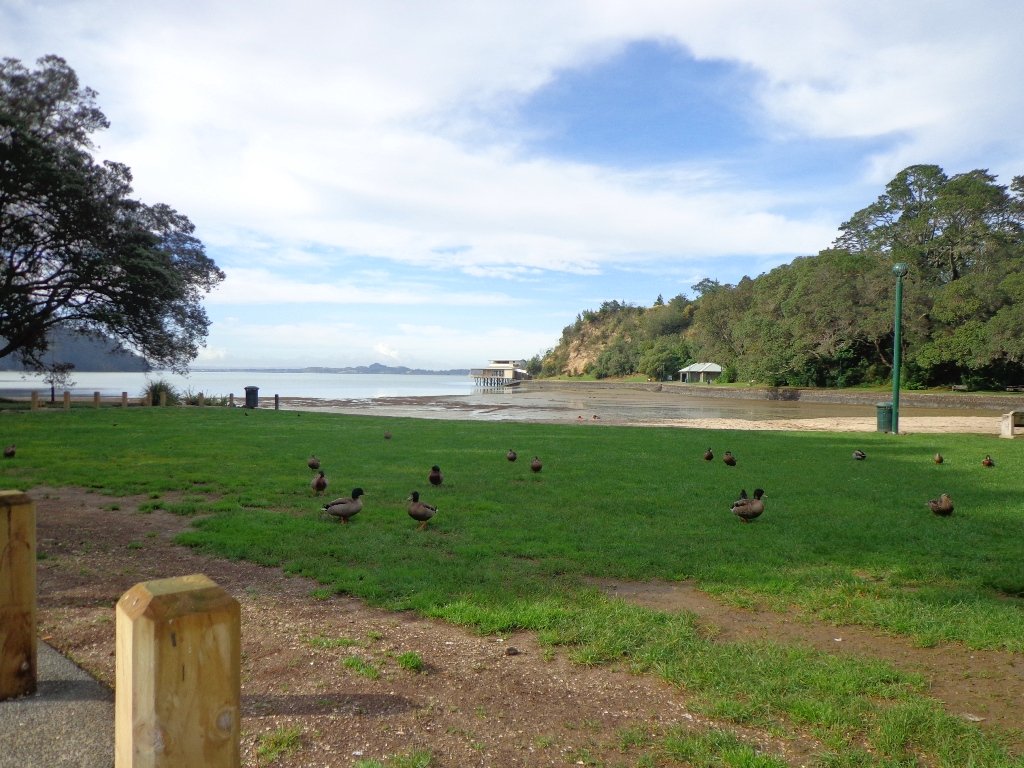
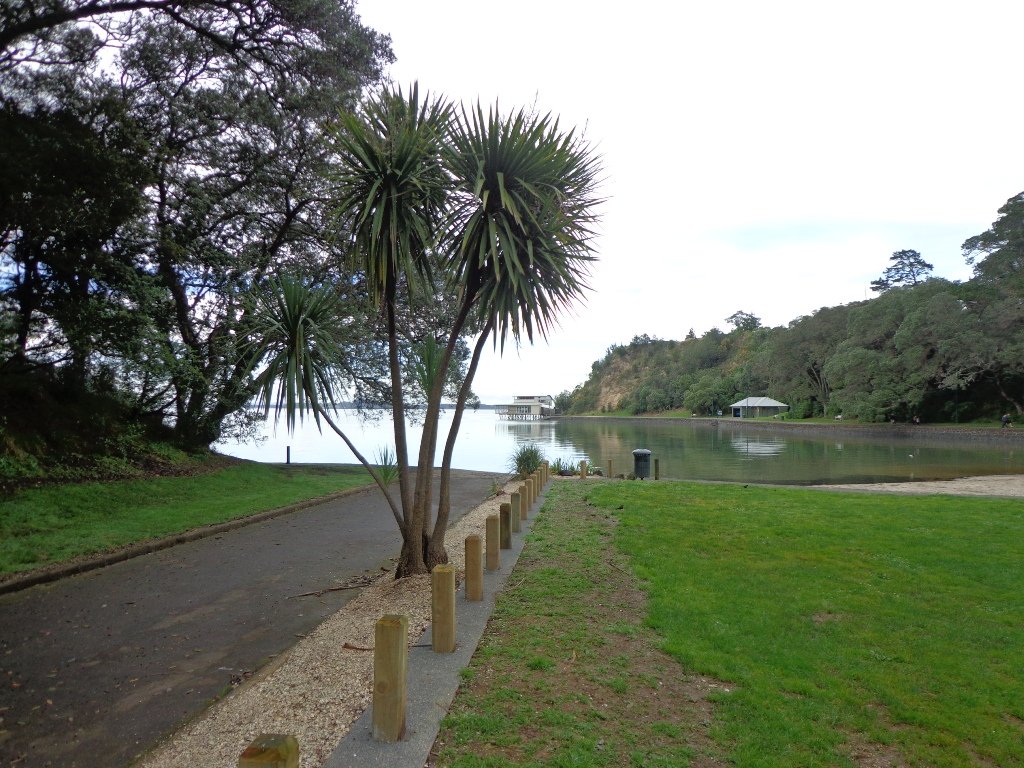
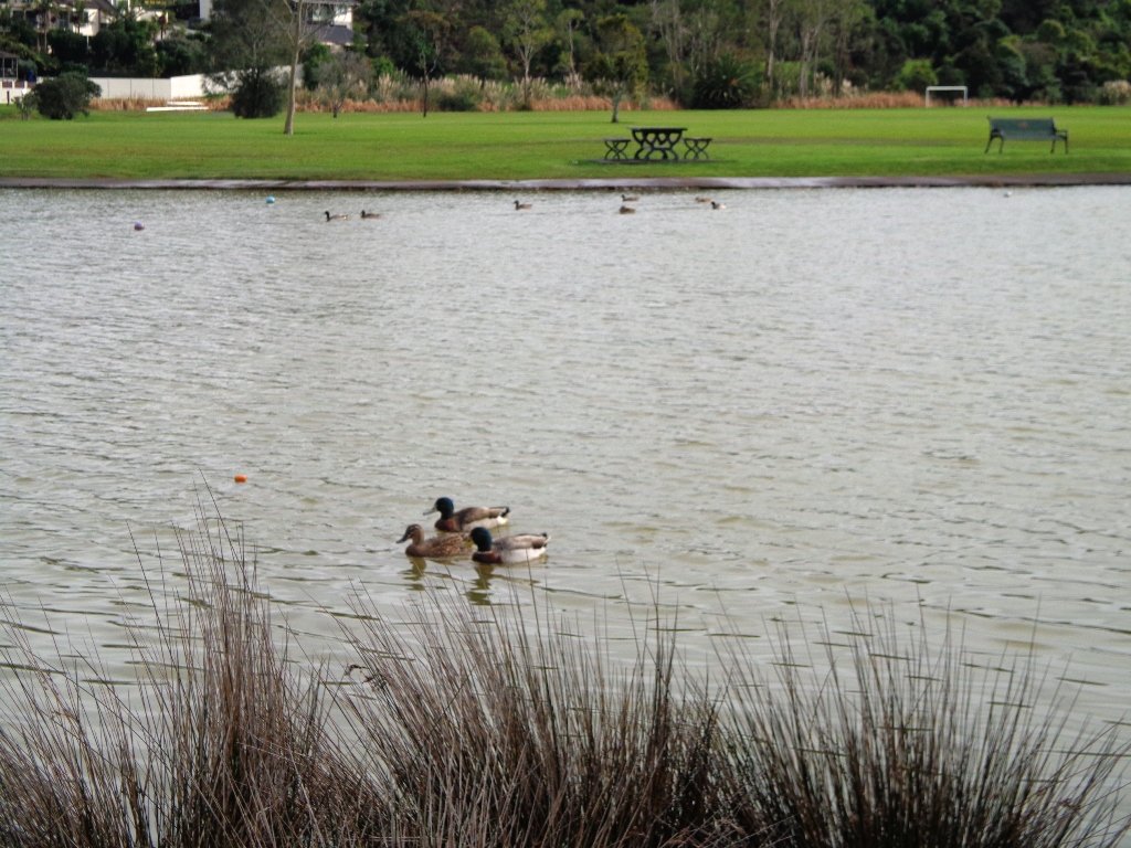
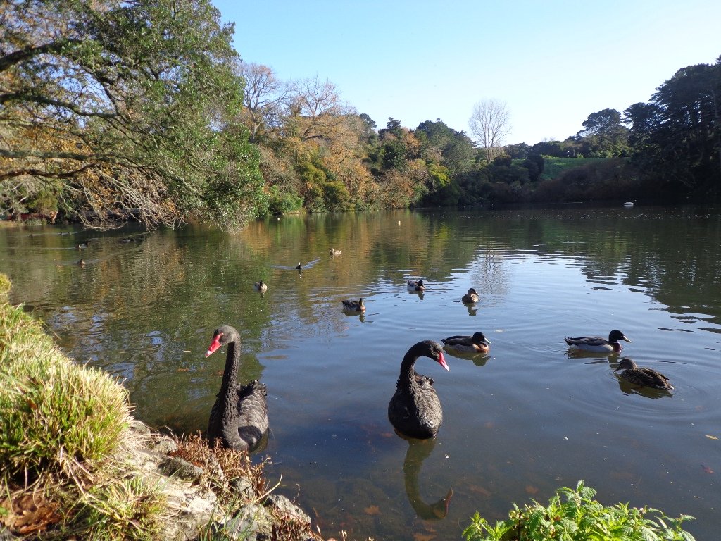
Our flat walk (if you choose not to walk up to the summit of Mt Roskill) links up three reserves – War Memorial Park,  Walmsley Park and Underwood Park. Take some bread to feed the ducks in Oakley Creek. The final part of the walk is at the colourful shops of Stoddard Road.

The walking route is also great for cyclists, prams/buggies and dog walkers (on leash and off  leash dog exercise areas in Walmsley Park and Underwood Park.).

We stopped for a very good coffee at an almost hidden Ethiopean cafe in the Tulja Centre called Cafe Abyssinia.

9th December 2013 – a new cafe has opened at 740 Sandringham Road Extension. Give your support to a community project – the Roskill Coffee Project.

Please note: An upgrade of Oakley Creek storm-water project has been proposed by the Local Board. If it goes ahead, there will be some disruption along this route within Walmsley and Underwood Parks from 2016.
Read about it here.

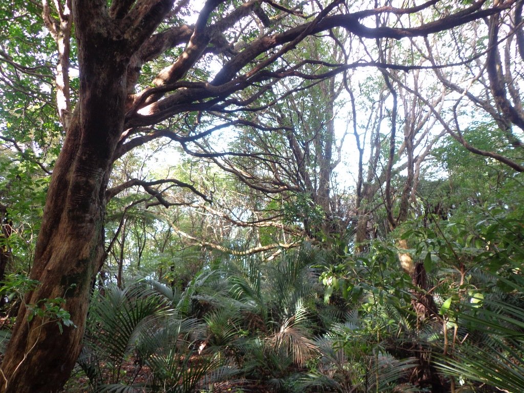
Description: Mostly level paths, steep paths ascent to summit of Mt Roskill. Suitable for most ages and levels of fitness and mobility, designed with flat shoes or running shoes in mind. Suitable for wheelchairs and pushchairs if Mt Roskill summit is avoided.

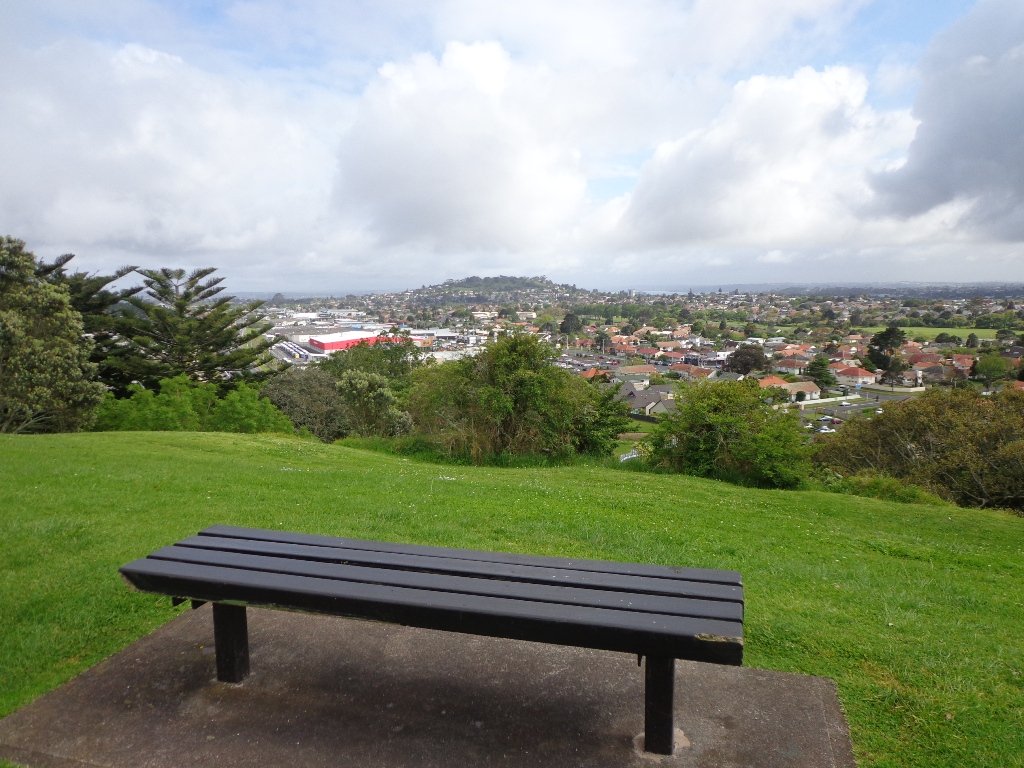
To see: Views of Auckland City skyline, Mt Albert, Mt Eden, Three Kings, One Tree Hill. Oakley Creek and ducks.
Time: approx. 90 minutes (about 7.5 kms).
Start: Corner of Sandringham Road extension/Stoddard Road.
MAP

Stay on track…find this walk’s map and directions guide (AC-093 Mt Roskill Loop) and other walk self-guides at our Walk Store

(Click on the photos to see an enlarged view.)

Blockhouse Bay Tiriwa walk

The Blockhouse Bay Tiriwa walk in Auckland follows the high cliff edge alongside Manukau Harbour to Green Bay Beach and then continues inland to Craigavon Park.

This is another newly discovered gem for us.  The  Pathway of Tiriwa (Te Ara O Tiriwa) is named after a Maori chief who lived in the area pre-canoe days.  The pathway takes you through Punga ferns and mature Puriri trees.  Native pigeons feed here in summer months.

There are steep steps  down and up the small gullies along the pathway, and the track was muddy today but not too bad (best to walk in dry weather).

The Block cafe at Blockhouse Bay

We stopped for refreshments at the newly opened The Block cafe in the main street of Blockhouse Bay.  What a wonderful “buzzy” community friendly place – and the menu looked mouth watering.  The brunch plates that were being served looked generous.

Dogs – this walk includes an off leash dog exercise area in Craigavon Park.

This walk also includes children’s playgrounds, picnic spots with BBQ’s, a fitness trail, public toilets – and hungry ducks to feed.

Description: Bush track, steps, inclines.  Muddy in places when wet.  Suitable for users of average fitness and mobility.
To see:  Native bush,  views across Manukau Harbour, native birds
Time: approx. 60 minutes. (about 5.0 kms).
Parking: Blockhouse Bay Reserve
Buses: Blockhouse Bay Road MAP

Stay on track…get your detailed guide and map over at our Walks Store  (AC-087 Blockhouse Bay Tiriwa Walk) and from our …

Book Store (one of 12 walks featured in our books “Dog Friendly Walks part  2″  and “Best of the West“).

Click photos to enlarge.

Northcote Tuff Crater Loop

This loop walk that takes in Northcote’s volcanic Tuff Crater and Onepoto Domain is based on one from Margaret Scrymgeour’s booklet “Explore the Shore”.

Onepoto Domain Northcote

We started the walk from the children’s playground area at Onepoto Domain.  We had heard about the children’s cycle track and it is a really safe place to bring young children and their bikes.  The playgrounds looks like a lot of fun too (it has a flying fox).  It is a great place to have a picnic, feed the ducks and an ideal spot for parenting groups to meet up.

Onepoto Basin is another of Auckland’s explosion craters and it is the oldest dated, erupting about 250,000 years ago. The Maori name “Onepoto” means small beach (named after Halls Beach near Northcote Point).

Tuff Crater is another explosion crater (this one is filled with water), which is being restored to its natural state with a balanced ecosystem of native plants and wildlife, all with volunteer help. It was formed by explosive eruptions around the same time as Onepoto.
For more information about the Tuff Crater, you may wish to view this video. (please note that our loop walk includes part of the Tuff Crater. There are future plans to build a circular walkway completely around the Tuff Crater).

Tuff Crater - dogs on leash only

Dogs may be off-leash on the track within the Tuff Crater Reserve (according to Auckland Council  Bye-laws Department re phone call 3/6/2014).  There is a risk that they could disturb endangered bird life, so please keep them under control.  We do have a request for dog owners to pick up litter (as we did come across litter).
PLEASE NOTE: As of the 29th October 2014 the new dog rules for Tuff Crater – Dogs prohibited within the foreshore (mangroves) of Tuff Crater; on-leash on track around reserve.

Description: Bush tracks, steps, inclines. Muddy in places when wet. Suitable for users of average fitness and mobility.
To see: Native bush, views across Auckland Harbour, native birds, volcanic crater
Time: approx. 60 minutes. (about 5.0 kms). Dog friendly, but on leash only.
Parking: Onepoto Domain, Northcote.
Buses: Onewa Road, Northcote MAP

P1 Dog friendly walks in Auckland

Google Maps for
Onepoto Domain &Tuff Crater

Stay on track…get your detailed guide and map  (AN-085 Northcote Tuff Crater Loop) over at our Walks Store and our Book Store (one of 12 walks featured in our book “Dog Friendly Walks part 1”).

Chelsea Heritage Park Loop

Winter is perhaps not the best time to do this bush walk starting at the Chelsea Estate Heritage Park – the track was very muddy and slippery – but we survived, and it was fun!

The pink Chelsea Sugar Refinery sits on the edge of Auckland Harbour.  From the shore there is a wonderful view across to the Harbour Bridge and City. Swan and ducks greeted us at the dam, expecting to be fed.

You can walk the beaches, feed the ducks, picnic by the ponds or go exploring around the 45 hectares of bush land at the Chelsea Sugar Refinery.

Auckland Harbour © 2011-2013 Unleashed Ventures Limited

Our walk takes us from the dam at the Chelsea Sugar Refinery through native bush along the cliff edge to Kauri Point Centennial Park and then inland to Chatswood Reserve.

There are a myriad of walking tracks and some are difficult to find after the recent rain and the dropped leaves from the trees covering the ground. Luckily we had our map, so we did not get lost! There’s plenty of native bush and birdlife to enjoy – the birds were singing loudly today.

Update October 2015The track from Chelsea Estate Heritage Park to Chelsea Bay/Telephone Road Reserve is currently being repaired and made accessible for pushchairs. Possible locations for a gate to separate the on-leash track from the off-leash grass and beach area are being decided as required by the Local Board after the Dog Access Hearings last year.
The track has had broken concrete removed, ruts smoothed out and drainage channels created. It has been resurfaced and compacted to give it the natural-looking surface that is used on DOC tracks.
The Chelsea bridge will be completely replaced next year.

Update August 2016 From the Kaipatiki Local Board
The new Chelsea Estate bridge project is now completed and ready to be walked, cycled and enjoyed. The new bridge is 2.7 metres wide and cost $287,000 to consent, design and build. Old piles from the old bridge were recycled at the new Island Bay Playspace and some went to a local resident keen to create a unique element within his new house build project.

Description: Part bush track. Very slippery when wet. Suitable for users of above average fitness and mobility.
To see: Chelsea Sugar Refinery, views across Auckland Harbour, native bush, ducks, swan.
Time: approx. 60 minutes. (about 5.0 kms)
Parking: Chelsea Sugar Refinery car park, bottom of Colonial Road
Buses: Mokoia Road, Highbury MAP

***Please note: September 2018 This track has been temporarily closed due to Kauri Dieback

Stay on track…find this walk’s map and directions guide (AN-078 Chelsea Bush Walk) and other walk self-guides at our Walk Store.