
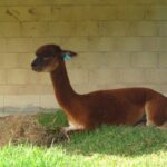
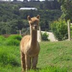
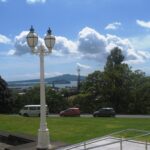
The walk to the Clevedon Reserve lookout, known as the Stairway to Heaven, was suggested to us by some of my wife’s work colleagues and what a great surprise. Large kauri, Kahikatea, Puriri and Puka trees grace the slopes and make for an impressive bush canopy. Plenty of birdlife is enjoyed, as is the view across the Auckland City in the distance and the Hunua Ranges to the East. Adding to the value of this amazing walk is exploring the quaint Clevedon Village.
Continue reading Clevedon Reserve – Stairway to HeavenTag Archives: Kauri Trees

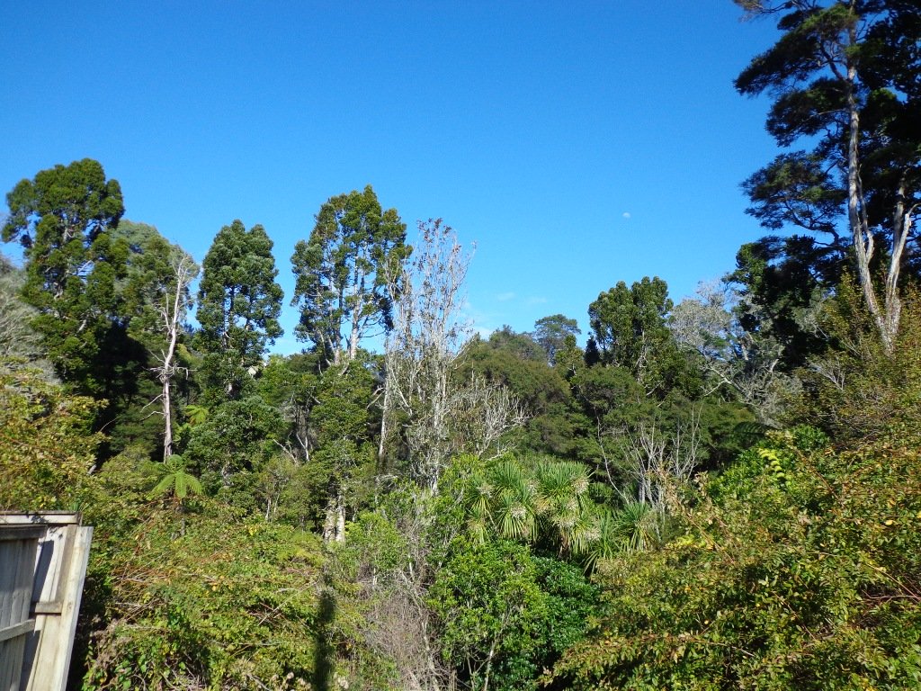
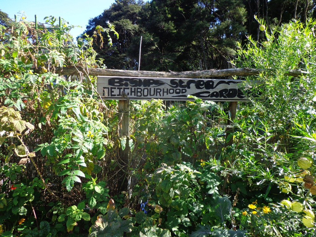
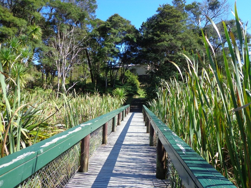
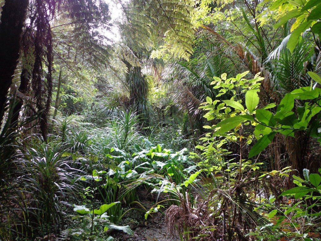
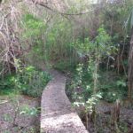
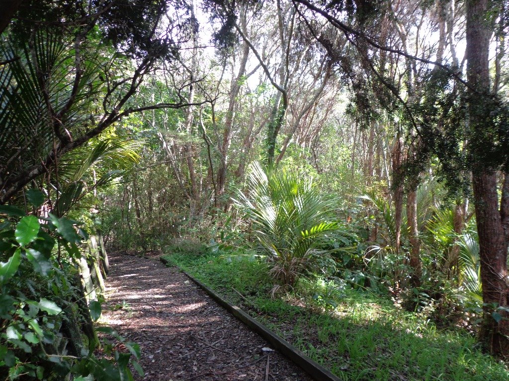
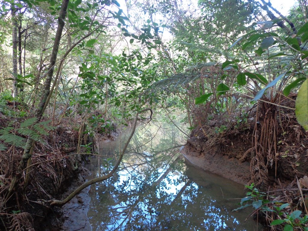
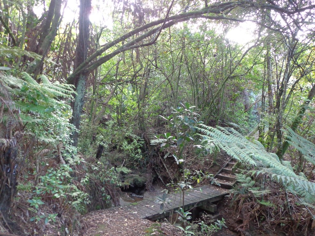
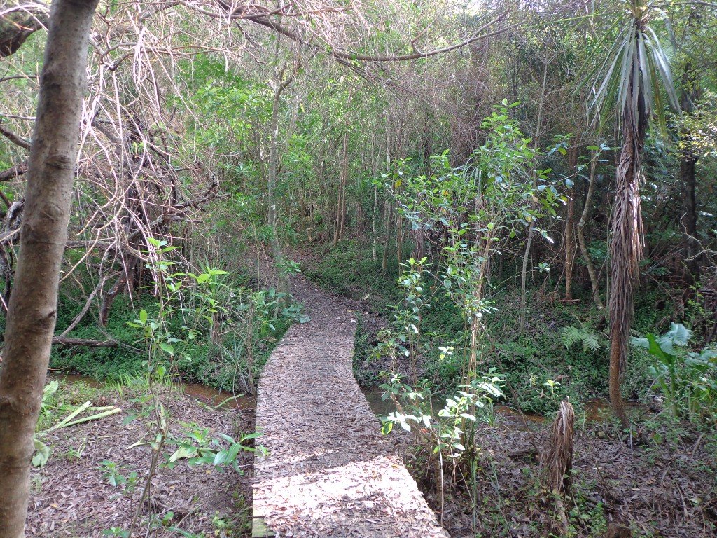
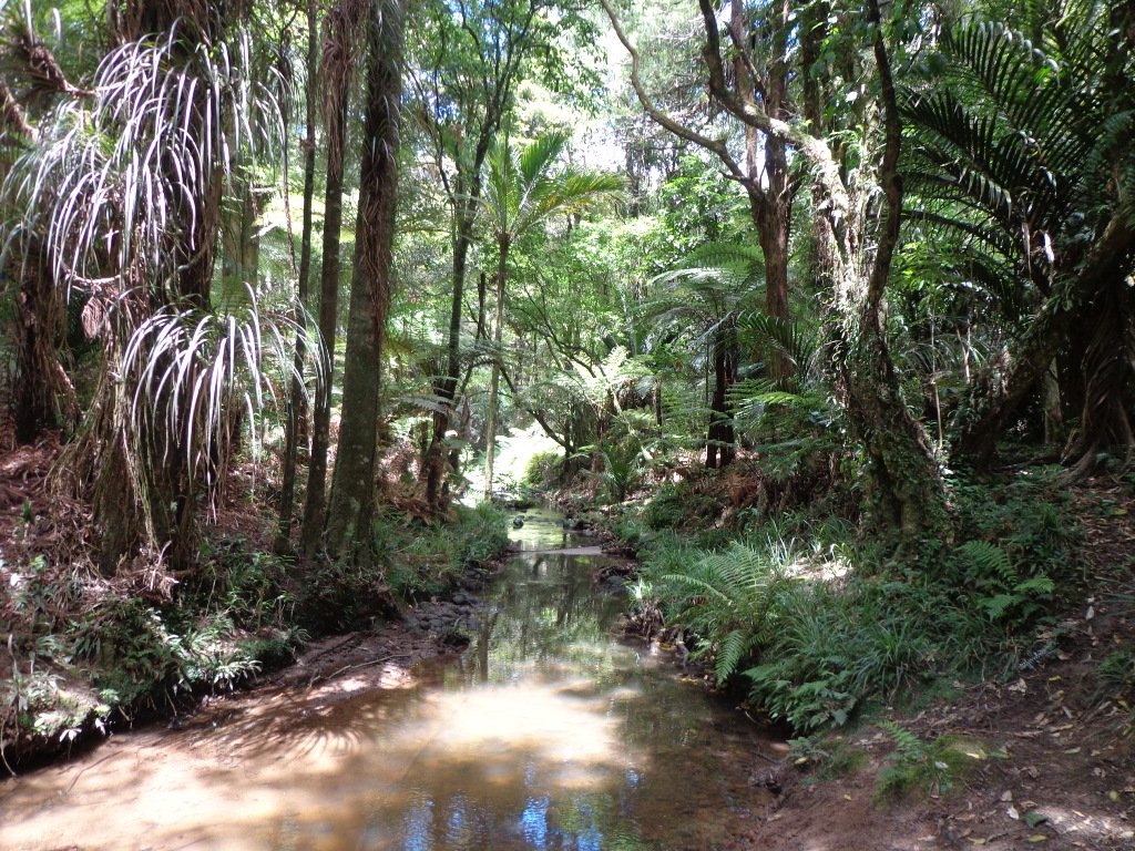
Glen Eden Bush and Stream walk
Glen Eden is undergoing stream restoration and cycleways development as part of the Twin Streams Project, so we set out for an exploratory walk to see what we could uncover.
We started off at Ceramco Park, but if you are arriving by train, you could take the Upper Waikumete Walk and Cycle Way starting from the corner of Captain Scott Road and West Coast Road, turn right into Savoy Road to continue to Ceramco Park. We followed the Waikumete Stream, footpaths, walkways and tracks through native bush and wetlands, over bridges and along pleasant residential streets, making this an enjoyable short urban bush walk.
Dogs – Off leash exercise areas within reserves and parks.
Nearby Walk: Glen Eden and Waikumete Cemetery Circuit Walk
Description: Mainly flat with one steep road. Suitable for most ages and levels of fitness and mobility, designed with flat shoes or running shoes in mind. Suitable for pushchairs.
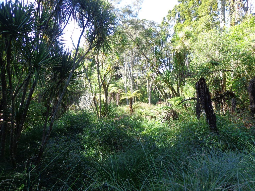
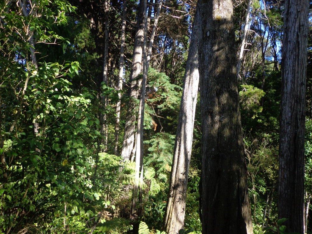
To see: Waikumete Creek, wetlands, native bush, kauri trees.
Time: approx. 60 minutes (about 5.47kms).
Parking: Ceramco Park.
Start: 120 Glendale Road, Glen Eden. MAP

Stay on track…get your detailed guide and map (AW-099 Glen Eden Bush & Stream Walk) over at our Walks Store and our Book Store (one of 12 walks featured in our books “Dog Friendly Part 2” “Best of the West“).


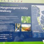
Mangemangeroa Valley Walkway
Today we headed south along the Mangemangeroa Valley Walkway – previously we had walked north to Shelly Park Beach. Today started off overcast but the sun came out, and there was a cool breeze. The breeze was very welcome when we were walking uphill in Hayley Lane and at the end of the Rotary Loop.

We started off at the barn in Somerville Road (MAP) and turned right. It was good to see new maps and direction posts have been erected since our last visit, one year ago. A lot of work has also been done with the planting of flax and cabbage trees – where this is done it will be a joy to see the rejuvenation of the native bush. We were pleased to see young kauri trees growing strongly. We walked up the steep hill of Hayley Lane, along Point View Drive, then back down the steep steps to rejoin the path, then followed the next turn left up the steps of the Rotary Loop to return to the start – a length of just over 5kms.
This walkway is very pleasant and perfect for a day walk and picnic, if doing the full length. Get the Auckland Council brochure here.
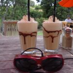
We drove onto Whitford for refreshments beside the Turanga River at Amy’s Kitchen.
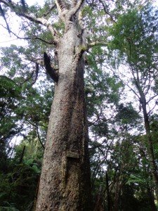
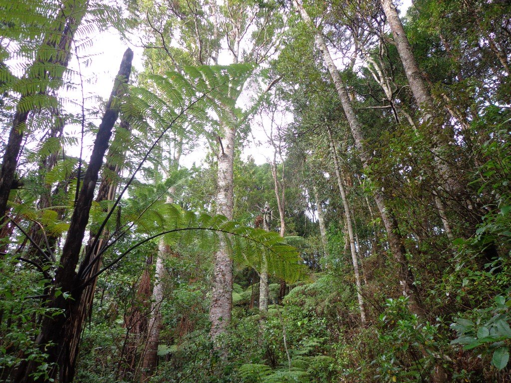
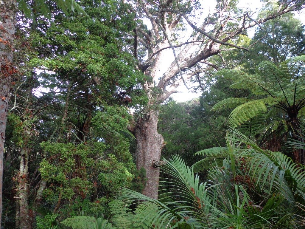
Bayview Giant Kauri Walk
***** ATTENTION Kauri Dieback has been identified on Auckland’s North Shore. Auckland Council will look to close tracks soon. As this Kauri tree in Lynn Reserve is the largest Kauri on the North Shore, and of significance to our community, you are asked to not visit this track. When walking near any Kauri, your shoes must be so clean you could ‘kiss’ them. Please protect our Kauri. The best way to help is to not walk near them.
Danielle Grant – Deputy Chair Kaipatiki Local Board ****
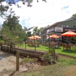
We returned to Bayview on the North Shore to complete a circular walk in a different direction to our previous Bayview Coast and Bush Walk.
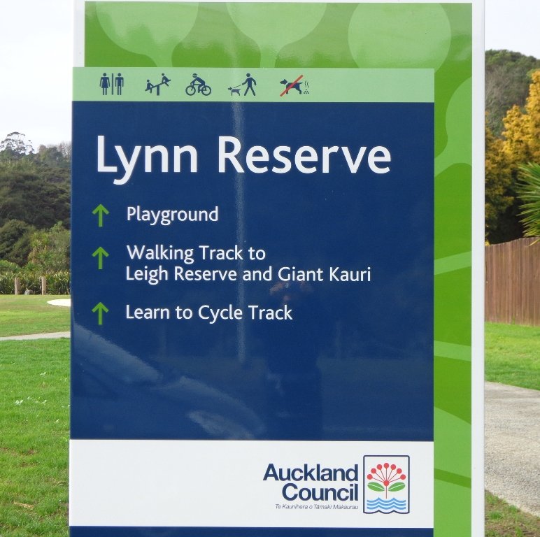
Today’s walk starts off in Lynn Reserve, and heads up a bush filled gully with a small stream, to a giant Kauri tree (over 2 metres in diameter and is said to be about 800 years old) among a grove of smaller kauri trees which are growing in Leigh Scenic Reserve. It is awesome!
The route joins up with the Glenfield Coastal Walkway and heads around to the boat ramp and Manuka Reserve at the bottom of Manuka Road. Hearing the song of the tui birds as we slowly walked up the incline of Manuka Road gave us great encouragement.
This walk through the bush and along the Upper Harbour coastline is not only beautiful, it provides a great workout if you are into fitness. It is also a fun family walk that includes two children’s playgrounds, plus dog off leash exercise areas.
The new playground at Lynn Reserve looks great, and in the week since we last visited, a children’s ‘learn to cycle track‘ has been installed.
***Please note: September 2018 This track has been temporarily closed due to Kauri Dieback
Description: Bush track, steps, inclines and board walks. Muddy in places when wet. Suitable for users of average fitness and mobility.
To see: Native bush, including Giant Kauri, small waterfalls, views across Auckland Harbour to Hobsonville Point, native birds.
Time: approx. 75 minutes. (about 5.8 kms). Dog off leash areas. Three children’s playgrounds.
Parking: Lynn Road, Bayview near Glenfield.
Buses: 111 Lynn Road, Bayview MAP

Bayview Coast and Bush Walk
Today we set out to explore the Bayview area near Glenfield on Auckland’s North Shore. What a wonderful surprise to find a beautiful bush walk, alongside the Upper Harbour reaches, all part of the Glenfield Coastal Walkway.

The walk takes in Manuka Reserve with views of the upper harbour, Hobsonville Point and native bush. Not only are there stands of manuka trees (tea trees) beside the estuary, but inland within Leigh Scenic Reserve, there are kauri trees and palms.
This circular walk is mostly bush with only a small section of street footpaths. It is suitable for families, with two places to stop at playgrounds. Dogs must be kept on leash.
Description: Bush track, steps, inclines and board walks. Muddy in places when wet. Suitable for users of average fitness and mobility.
To see: Native bush, small waterfalls, views across Auckland Harbour to Hobsonville Point, native birds.
Time: approx. 60 minutes. (about 5.0 kms). Dogs on leash. Two childrens playgrounds.
Start: Lynn Road, Bayview near Glenfield. MAP
***Please note: September 2018 This track has been temporarily closed due to Kauri Dieback
-
 Bayview Bush walk (5kms)$1.95
Stay on track…get your detailed guide and map (AN-080 Bayview Bush Walk)over at our Walks Store and our Book Store (one of 12 walks featured in our books “Urban Bush” and “Dog Friendly Walks part two”).

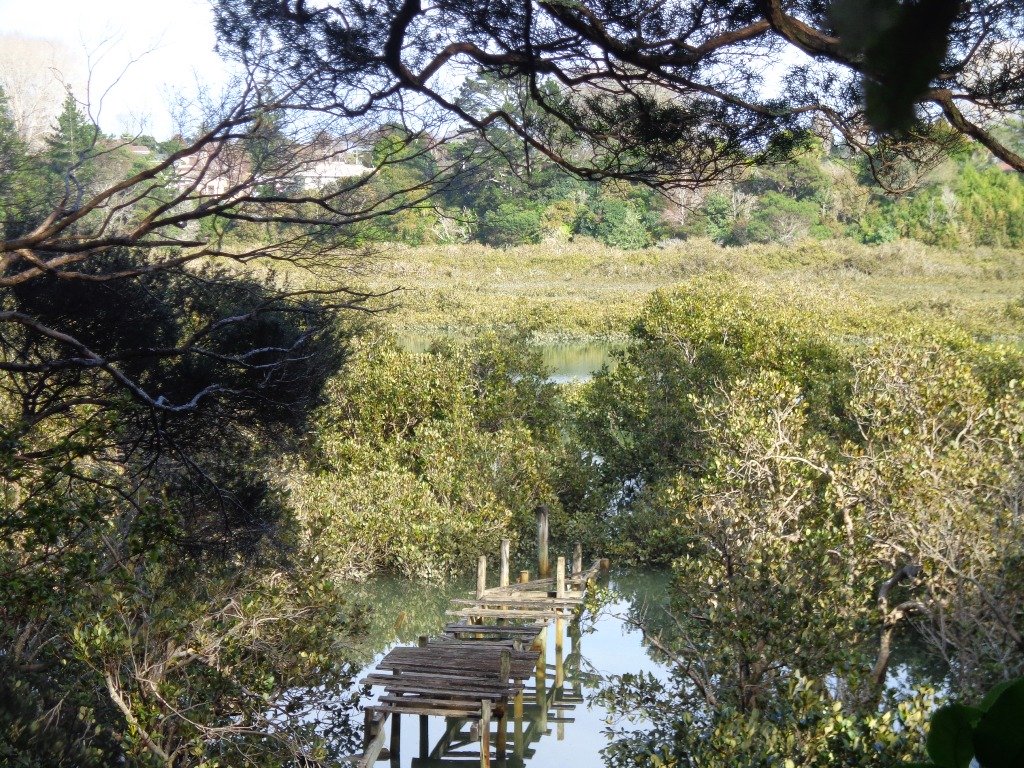
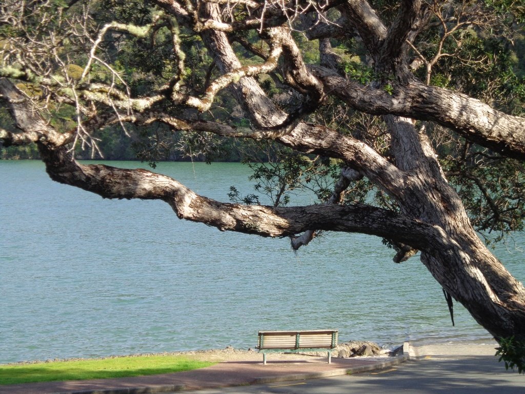
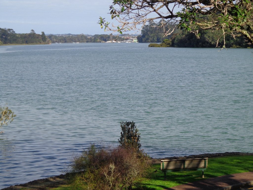
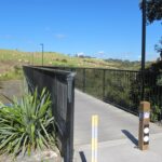
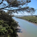
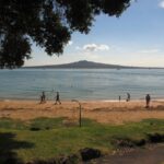
Orewa Te Ara Tahuna shared path
Today we headed north out of Auckland to Orewa to walk around the Te Ara Tahuna shared path. This cycleway/walkway encircles the Orewa Estuary for a distance of 7.58km. It took us 1 hour and 45 minutes to walk it at a leisurely pace.
The tide was going out as we walked around anti-clockwise. It is a diverse walk, starting from the car park by the Estuary Arts Centre. MAP
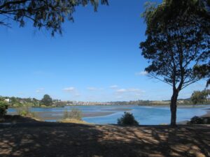
We walked past beautiful houses and gardens set along the path, crossed bridges, walked on the edge of farmland with picturesque bales of hay and past mangroves – arriving back to the view of the ocean along the Hibiscus Coast Highway.
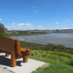
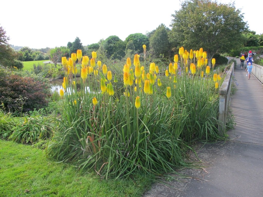
Look out for all the different wetland birdlife. You will also see kauri trees, pohutukawa trees, cabbage trees and flax. There are picnic tables available at the Orewa end, as well as a skate park. Benches provide views of the estuary and take the time to admire the beautifully carved wooden seats (six in total as of today’s date).
The cycleway is ideal for families with children who are competent cyclists. The pathway is a mix of concrete, bitumen and loose gravel. Be sure to have snacks and drinks with you to keep up the energy levels. And if the weather is appropriate, take beach gear for a refreshing swim afterwards.
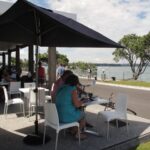
There are now public toilets at MetroPark in Millwater (about halfway round) and a coffee lounge,dairy and other shops at the Millwater Parkway shops.
We stopped off at Olivers for a delicious lunch accompanied by a wonderful musician.
Download the Auckland Transport Te Ara Tahuna Estuary Map or pick up a free map from the Orewa Citizens Advice Bureau.

Walks in Auckland City
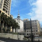
While most of our walks are within urban Auckland, we would like to encourage you to explore Auckland city’s Central Business District (CBD). For visitors on short stays, walking around Auckland city is the best way to explore and discover the backstreets and character.
Many of these walks in Auckland City start from Britomart at the Auckland Harbour end of Queen Street.
The Auckland City CBD discovery walk – starts from Britomart. This walk brochure is free for people who download our FREE report ‘What to do and see in Auckland’. This walk takes you past historical buildings and through parks and reserves. We also take in lanes, arcades and courtyards.
Victoria Park and Markets – begins at Victoria Park Markets and takes you through the suburban streets of Freemans Bay up to Ponsonby Road via the well-hidden gem of Western Park.
Auckland Coast to Coast Walk – starts from Britomart and takes about 4 hours non-stop. It is split into 4 stages, with directions on where to catch a bus to return to Britomart at the end of each stage. This walk is full of variety from kauri trees, to the Parnell shops and cafes, churches and cathedrals, views of the harbours, volcanoes and Waitekere Ranges and an art collection.
Karangahape Road and Parks – starts from Britomart. Walk the back streets and parks of Auckland City. This walk provides fine views of Mt Eden (down the side roads off Karangahape Road), the Harbour Bridge and the Sky Tower, and introduces you to the eclectic shopping strip of Ponsonby and Karangahape Road.
Auckland Harbour and Point Erin – starts from Victoria Park Market which is within an easy walk from Britomart. This Auckland walk not only has fabulous views, it is mostly flat (apart from the steep steps at Jacob’s Ladder ), Victoria Park has a great children’s playground and skate park, and there are beautiful old homes and moored yachts to enjoy. View the Auckland Harbour Bridge up close.
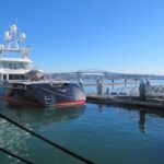
Wynyard Quarter Waterfront – starts from Britomart. Explore the Viaduct Basin and Wynyard Quarter boating scene and cafes. See where the America’s Cup yachts were based. There is always something to see along the way…
Auckland Museum – starts from Britomart. This mini-tour walk takes in the Auckland Domain,Albert Park, Queen Street, Chancery Lane, Vulcan Lane, High Street, and old Government House.
Auckland Art Gallery – starts from Britomart. The route winds through parks, arcades and past historic buildings.
We have also put together 5 walks for the University of Auckland from their city-side Symonds Street campus.
If you have the time and wish to have a break from the City head to Devonport: Mount Victoria and North Head – start from Britomart and walk to the Ferry Building to catch the ferry to Devonport. Explore the historic houses and buildings beneath Mount Victoria and/or walk up to North Head. Stop in Devonport Village to browse the shops and refresh at cafes. Or catch a train or bus to Newmarket and spend the day walking and exploring.


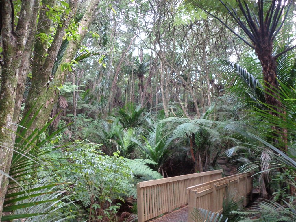
Botanic Gardens and Totara Park Loops

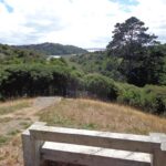
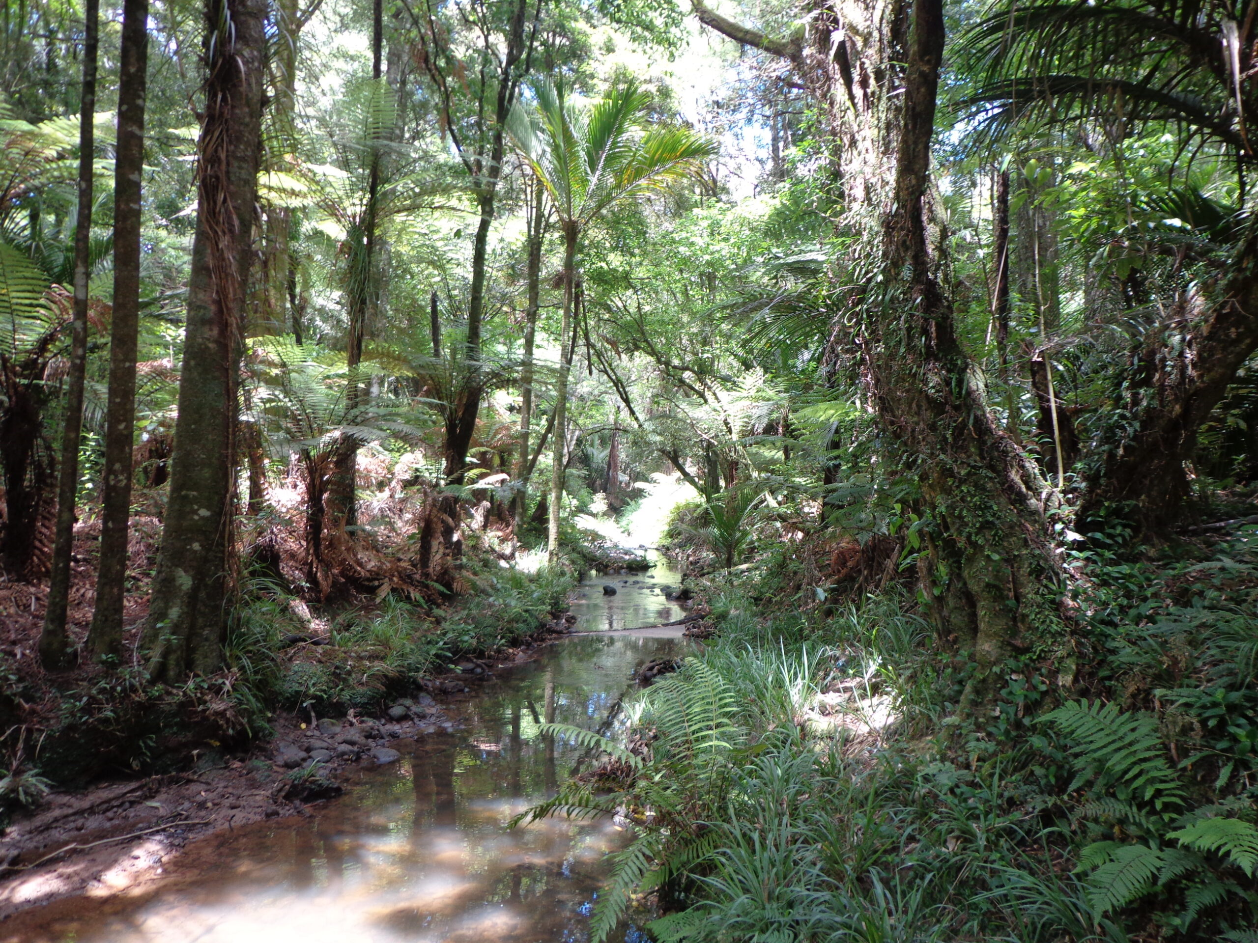
A beautiful sunny morning made our trip south for a walk around the Auckland Botanic Gardens and Totara Park walking tracks and the Puhinui Stream forest, a wonderful experience.
We had set out to do a 5km walk but we ended up getting lost due to poor signage.
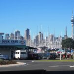
There was a good side to getting lost 1) we walked further than we had planned and 2) we found a look-out that we did not know existed which gave us a clear view all the way to the Auckland city skyline and across to Manukau Harbour.
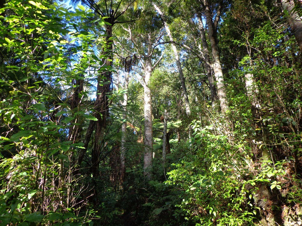
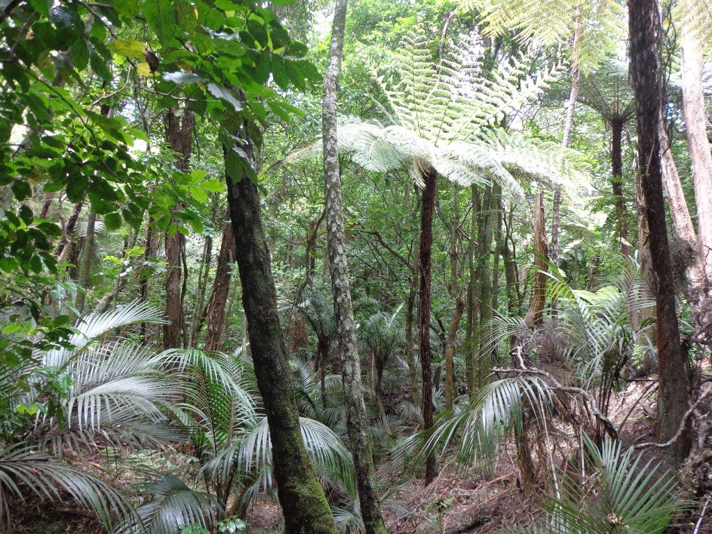
The Puhinui Stream Forest Trail (the full loop trail is approx 4 kms) in Totara Park was gorgeous with the sunlight dappling the native ferns and palms. The trail took us past beautiful totara, puriri, nikau and kauri trees. We enjoyed soaking up the beauty of the lush native forest.
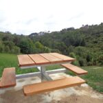
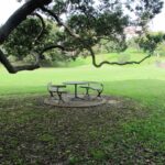
There are great spots to stop and picnic along the trail and children’s playground areas (including a children’s flying fox). Dogs on-leash on the trail, but there are off-leash areas. It makes for a great family day out. (And if you are into mountain biking or want to give it a try, there is a 15 km mountain bike track here too).
Dogs – off leash exercise area between north side of the Gardens and Totara Park.
If you have children then we do recommend a visit to the Potter Children’s Garden (within the Botanic Gardens) – and as adults we enjoy visiting them too! The Auckland Botanical Gardens are magnificent and a wonderful place to visit all year round – the spring blossoms are stunning.
Description: A mix of level paths, steps and slightly inclined paths. Suitable for users of average fitness and mobility. May require boots in wet weather, running shoes suitable in dry weather.
To see: Auckland Botanic Gardens, native bush and palms
Time: approx. 75 minutes. (about 6 kms)
Start: Auckland Botanic Gardens Carpark MAP
Miko Cafe at Auckland Botanic Gardens Visitor Centre provided us with much needed refreshments (we especially enjoy the Piazza D’Oro coffee).

Stay on track…get your detailed guide and map (AS-037 Botanic Gardens and Totara Park Loops ) over at our Walks Store and our Book Store (one of 12 walks featured in our books “Urban Bush”, “Dog Friendly Walks part 2” and “Best of the South”).


Coast to Coast Walk
This weekend we embarked on an alternative Auckland coast to coast walk – from Waitemata Harbour to Manukau Harbour. Auckland City Council do have their own documented walk here. However our alternate walk has less road, more parks, more bush, more direct, more variety, more views and more fun. It takes about 4 to 4 1/2 hours if there are no stops.
*** Currently, you can download our alternative Coast to Coast walk for free by entering your email and name in the box on the right. *** Alternatively click HERE for the free EGuide & Coast to Coast walk

The walk can be done in stages (so that at convenient points, if you need to return to the start we let you know where you can catch a bus or train) or you may wish to set a day aside to do the complete walk. It takes about four hours non-stop, but do allow yourself time to explore the side-trips (e.g. walk around Parnell, one of Auckland’s most interesting and historic suburbs) and have refreshments.
If you are looking for things to do in Auckland this is a great day outing. This alternative coast to coast walk starts off at the Ferry Building and ends at Onehunga (or you could start from Onehunga and time your arrival to be at Wynyard Quarter to watch the sun set over the Harbour from a bar or restaurant.) The walk is full of variety from kauri trees, to the Parnell shops and cafes, churches and cathedrals, views of the harbours, volcanoes and Waitekere Ranges and an art collection. It includes many playground areas for children which we hope is an incentive for them to do this walk. This walk in Auckland shows off the diversity of this wonderful city.
Watch the short video – Things to do in Auckland – Coast to Coast Walk
 Auckland residents may even be surprised to find places they were not aware of!
Vistors will discover Auckland’s back yard secrets and many cafes and shops – the ones that the bus tours miss.
You really don’t get to know a place until you have explored it by foot!
 For instance we discovered a new labyrinth in Parnell – something that I would not have recognized if I had not recently read “Walking a Sacred Path: Rediscovering the Labyrinth as a Spiritual Practice”.
Suggested Cafes in Onehunga: The Library Cafe and Columbus
If you are keen on other coast to coast walks around the world – you may like to try the Walk from Cumbria to Yorkshire which spans 85 miles of quintessentially English landscape
Walks in Auckland – Victoria Park and Markets
How do you recover after last night’s fabulous TV screening of the wedding of Prince William and Catherine? Go for a walk in Auckland of course!

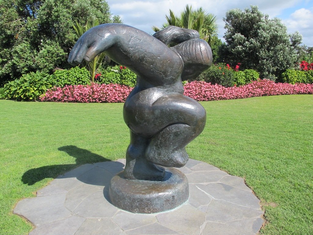
Today’s walk begins at Victoria Park Markets and takes us through the suburban streets of Freemans Bay up to Ponsonby Road via the well-hidden gem of Western Park and the sculptural installation by John Radford on Ponsonby Road.
Victoria Park Markets have been upgraded and the last time we were there (2014), they were starting to look interesting. Did you know that these buildings started life as “The Destructor; Auckland’s first rubbish depot”? Read more at Suite101: History of Victoria Park Market

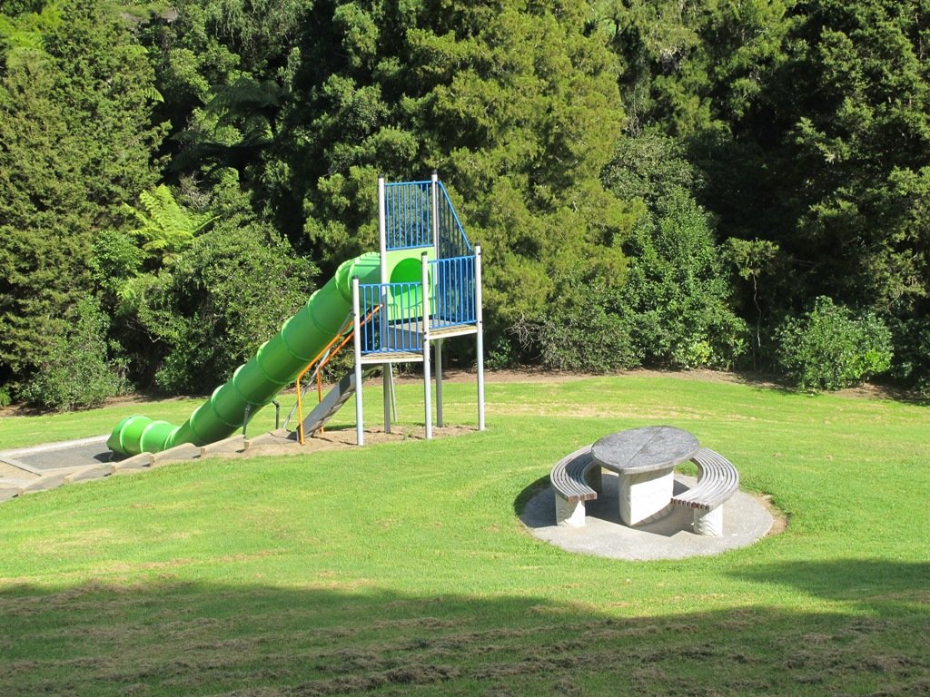
Western Park is a delight. There is a comprehensive children’s playground that includes a flying fox and long slide, a fitness trail and wonderful trees such as the massive Moreton Bay Fig trees and Kauri trees and Cyprus trees to name a few. This is a dog friendly walk with an off-leash area. (See other Dog Friendly Walks)
This video gives a taste of Western Park.
Colourful Ponsonby Road is worth exploring and there many cafes and restaurants to choose from. This area is also full of heritage buildings and places of interest. Choose from four Ponsonby Heritage Walks.
A mix of level and steep paths. Suitable in dry and wet weather. Suitable for most ages and levels of fitness and mobility, designed with flat shoes or running shoes in mind. Not suitable for wheelchairs. To see : City dwellings, City tourist market, park with mature trees, character shopping street with cafes and restaurants. Dogs: Off leash area. Children’s Playground=Yes Time : approx. 60 minutes. Allow extra time to explore.
Start Point: Victoria Park Market
Find this walk and other walk brochures in Central Auckland here.