Tag Archives: Beautiful

Albany Reserve Loop

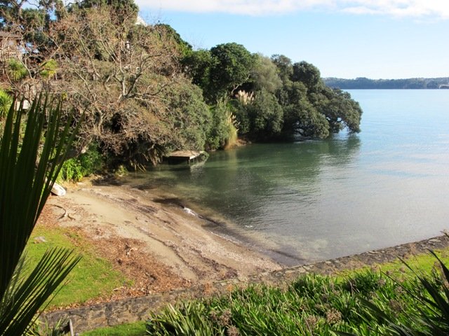
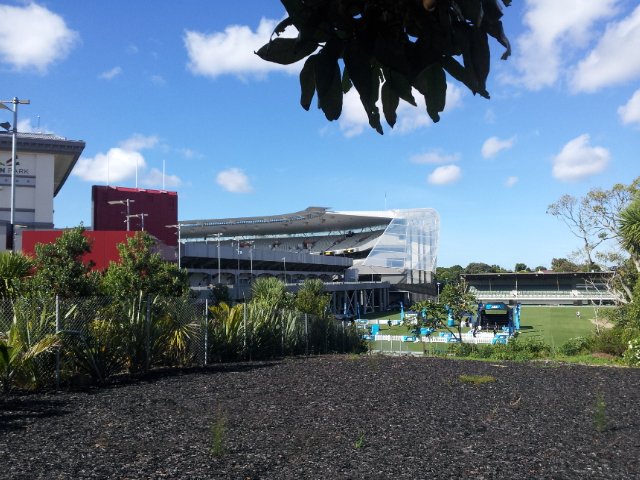
Today was our first walking exploration in the Albany area of Auckland. Previously I had stopped a couple of times for coffee at the Wine Box cafe and we had attended conventions at the North Harbour Stadium. So the area was not totally new to us.

*** Unfortunately Albany Scenic Reserve was been closed in 2015 due to Kauri Dieback ***

Albany Reserve Loop Walk © 2011-2013 Unleashed Ventures Limited
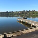
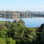
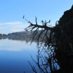
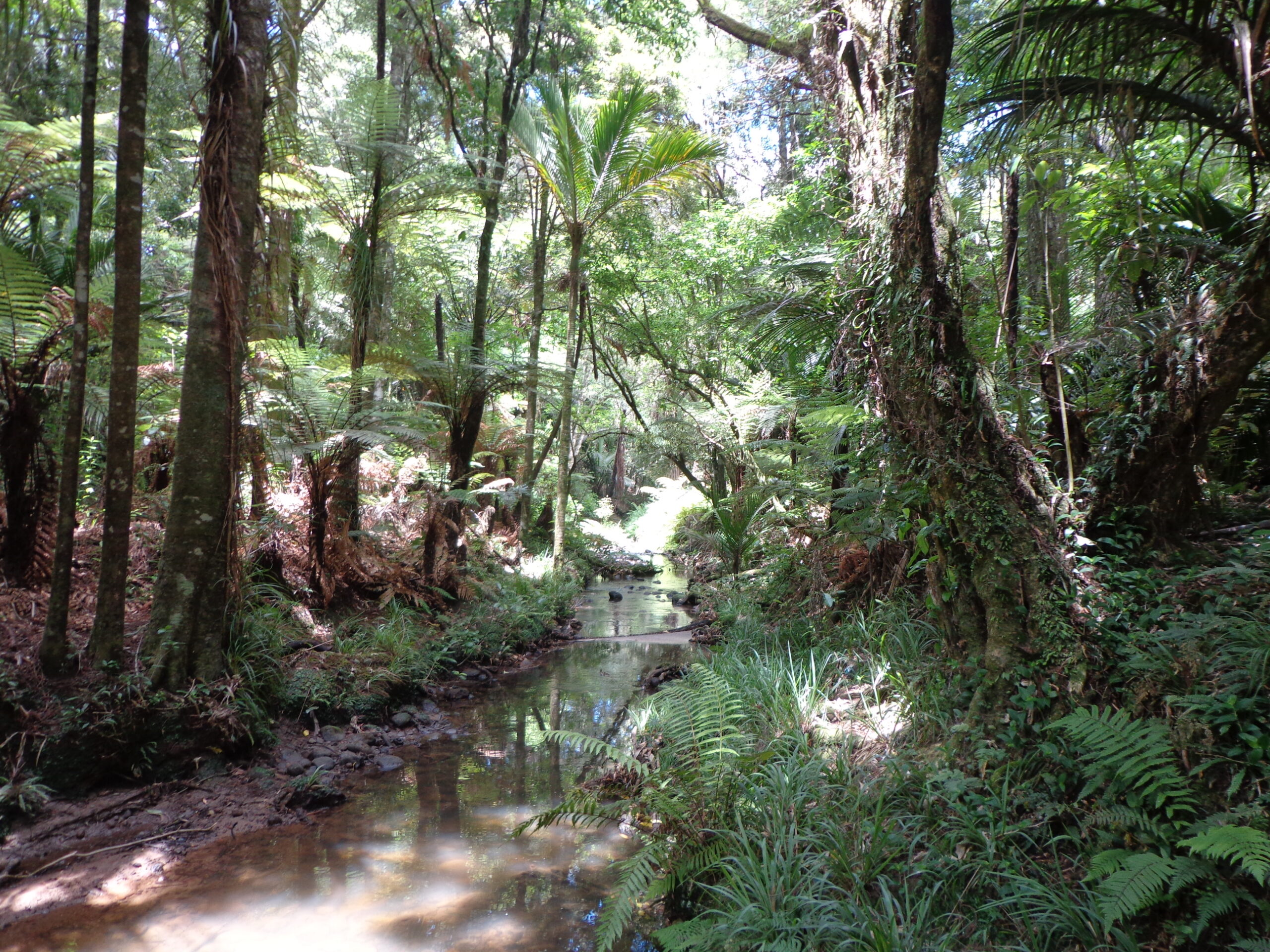
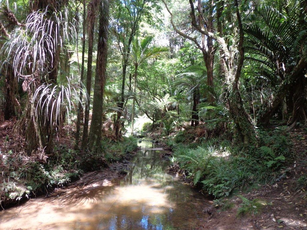
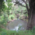
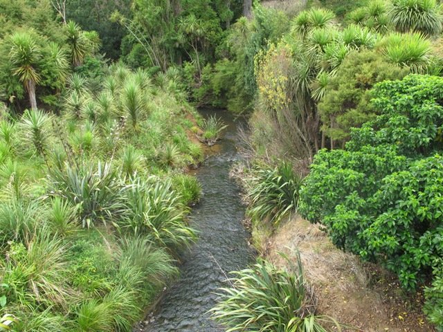
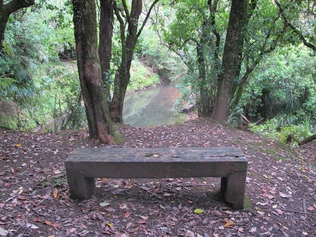
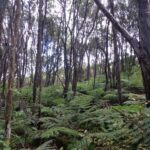
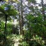
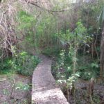
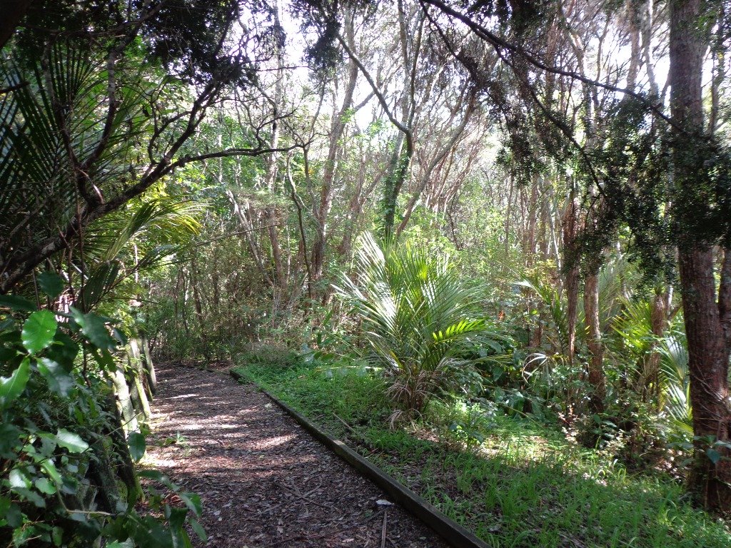
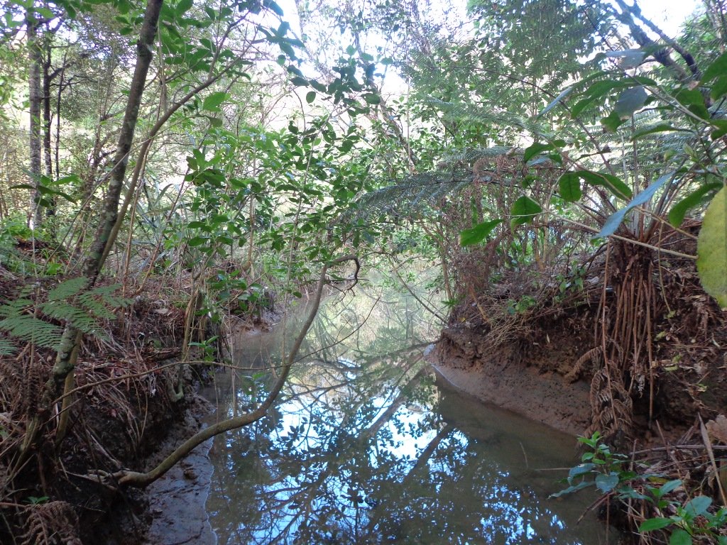
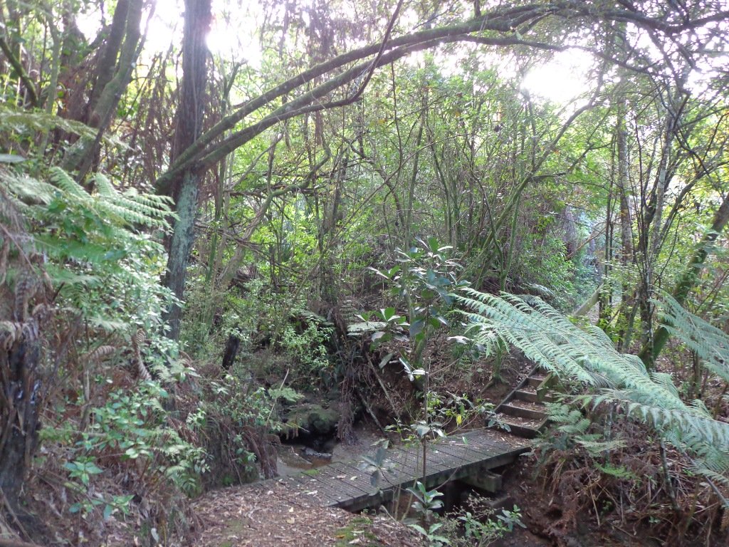
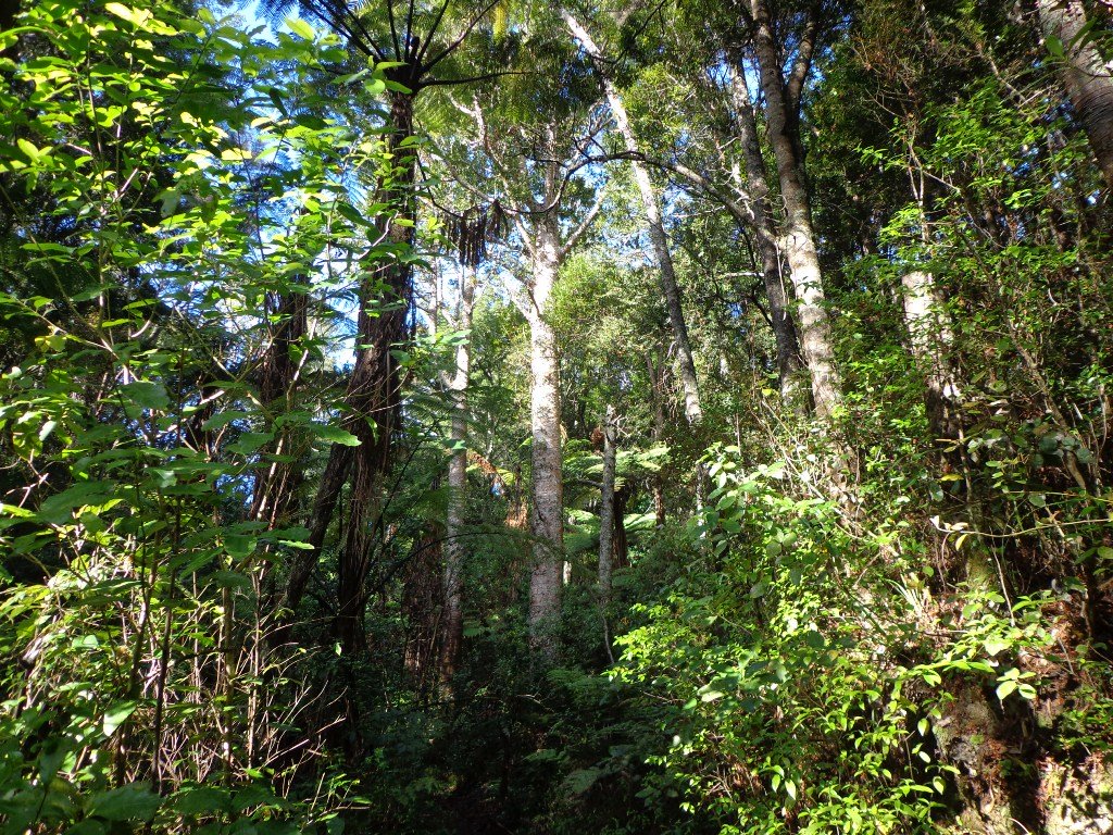
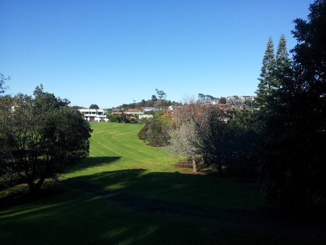
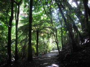
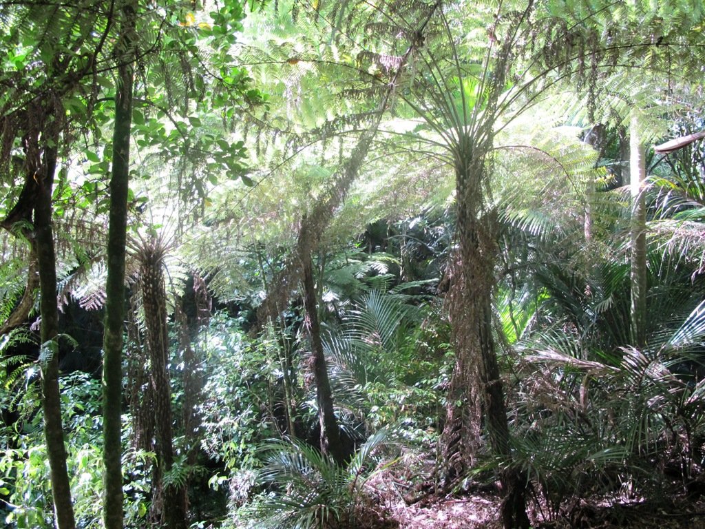
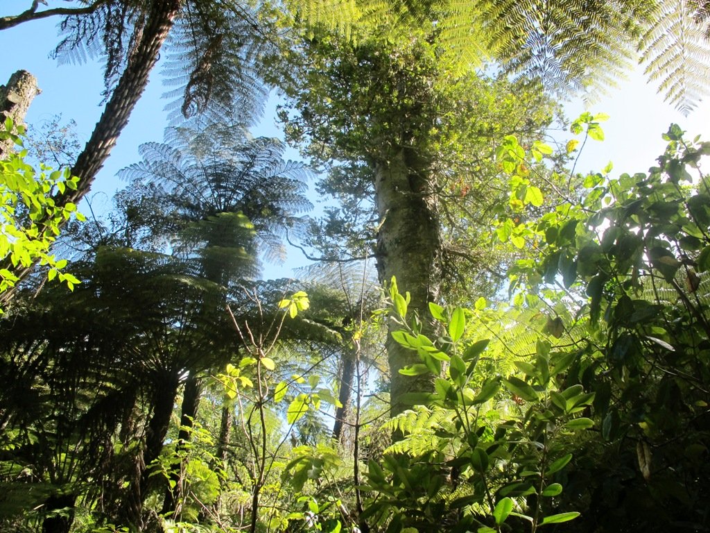
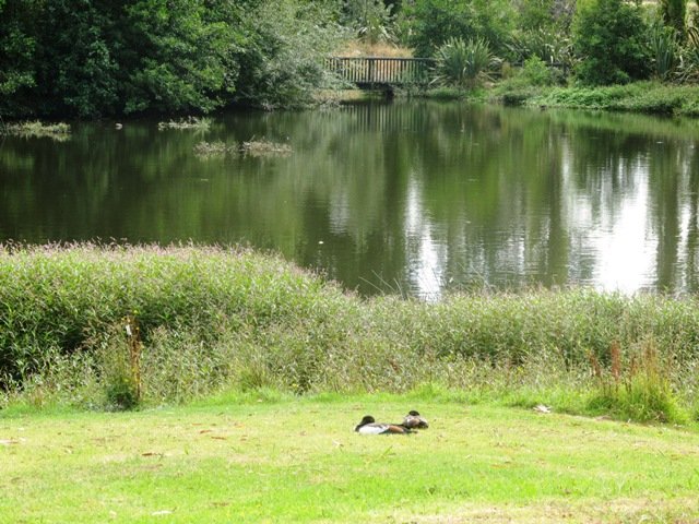
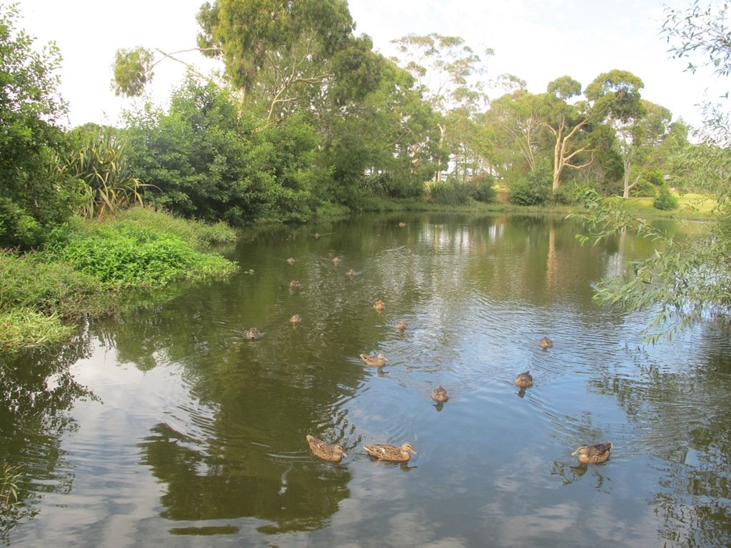
As usual we were surprised at what we uncovered – a beautiful bush walk along a stream. The previous night had been very stormy (the news reported that there were over 1000 lightening strikes) and the stream was very full and flowing very fast! The well formed track following the stream however was not muddy as we would have expected.

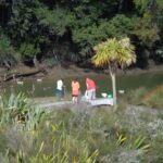
However we did get “temporarily displaced” in a bush area(which involved climbing over two wire fences), and we will return to document a clear route.

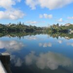
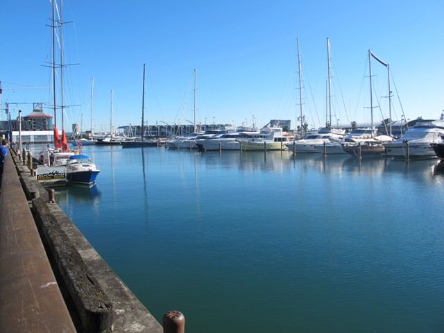
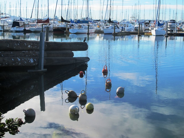
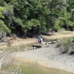
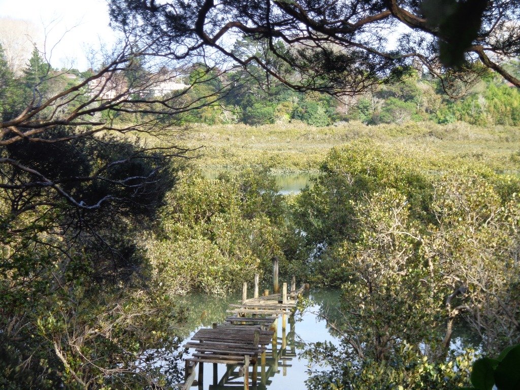
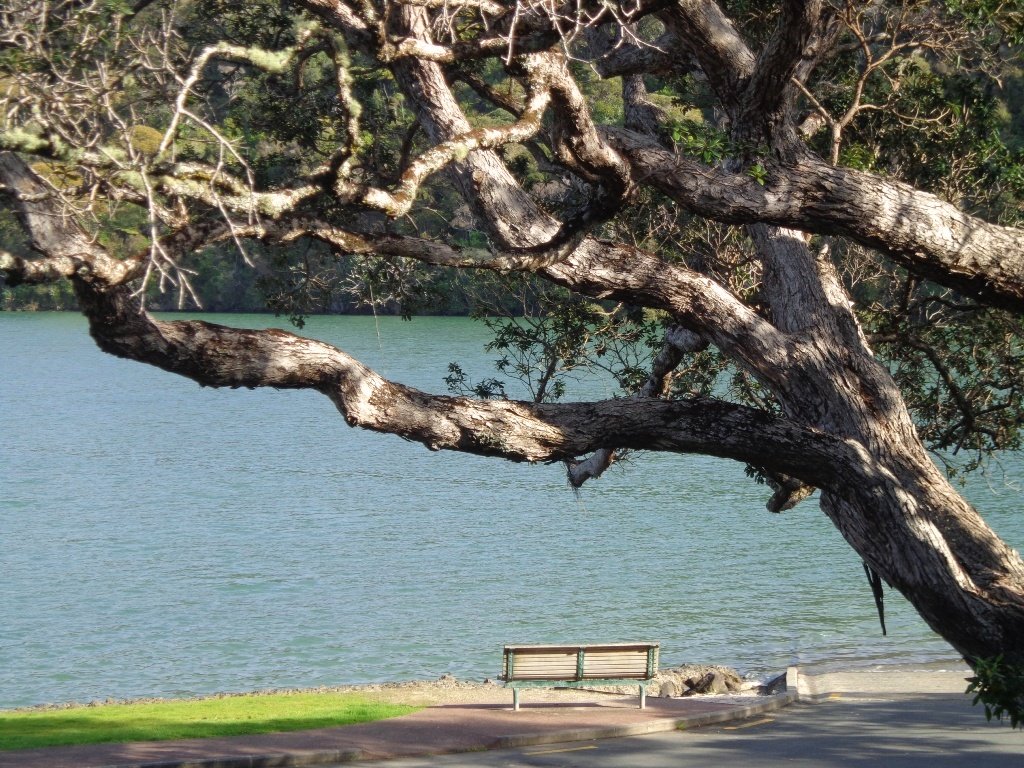
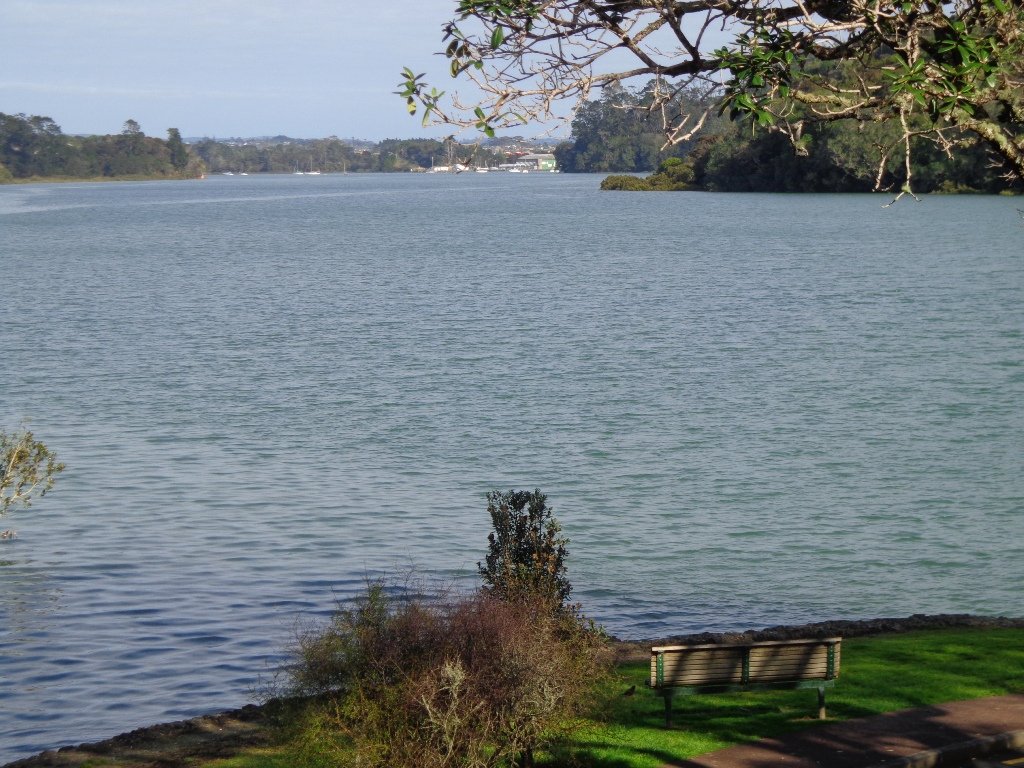
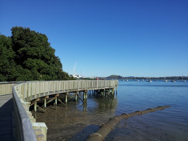
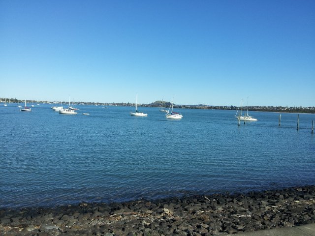
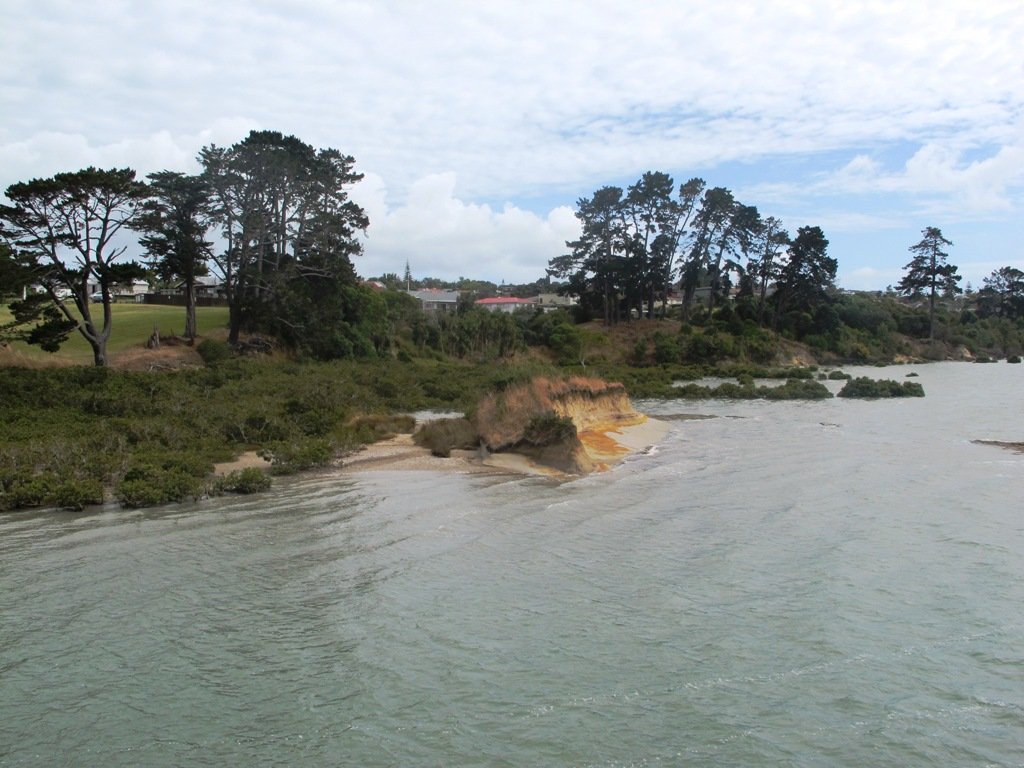
In the early days the most popular means of transport from Greenhithe, Albany and Paremoremo to other areas whether on the North Shore or in Auckland was by water. Many wharves were built on both
sides of the banks of Lucas Creek and Hellyer’s Creek. Rowboats were common for travelling the short distance between Paremoremo and Greenhithe, while launches shipped passengers and goods to and
from Auckland. Regular shipping services became very important to settlers in the area who relied on sales of their fruit and dairy farming products in Auckland to make a living.

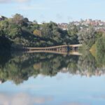
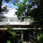
The Landing was an area that served as a terminus for the transportation of passengers and goods by water. It was demolished in the 1930s and has since been redeveloped for residential use.
Source: Auckland Council

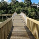
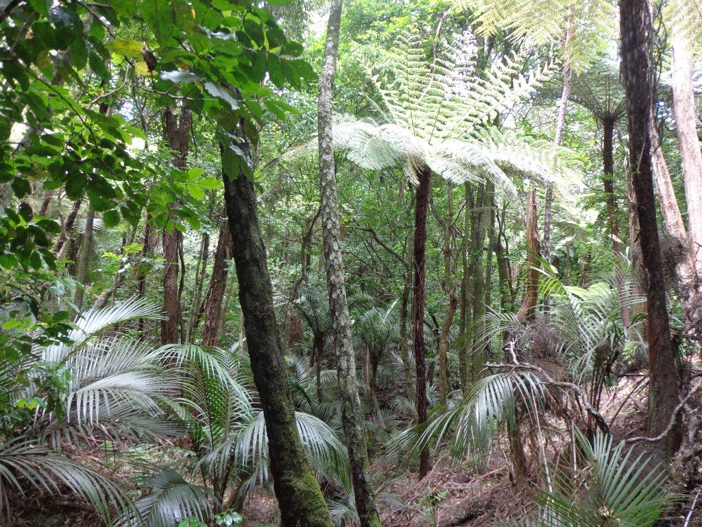
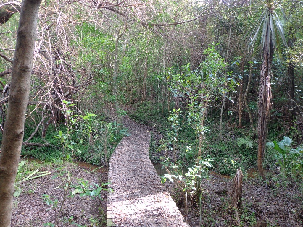
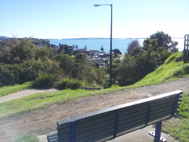
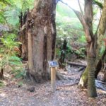
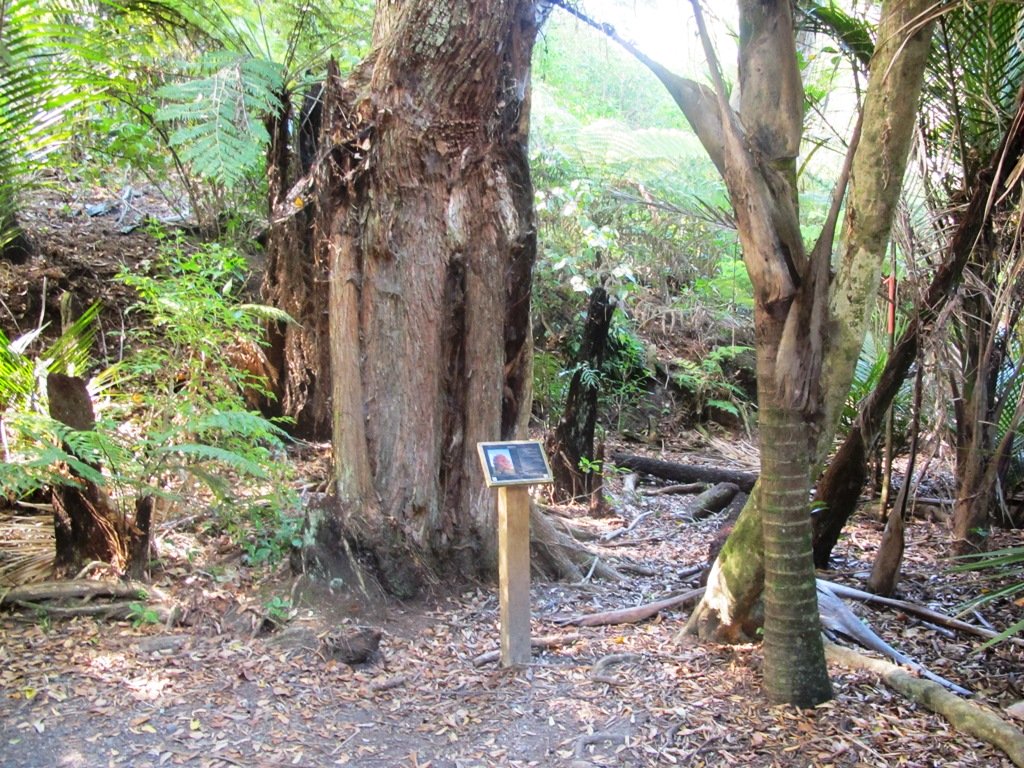
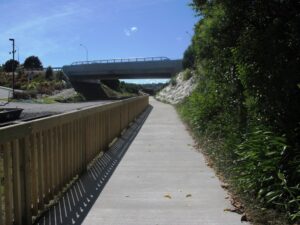
The route begins and ends at Kell Park.  It starts off along a concrete path.  After which it heads into the bush, following the stream. We were impressed by the bush, the palms and the giant totara trees. The loop walk  returns via Massey University.

Dogs – off leash exercise area along bush track in Albany Reserve.

Description: A mix of level paths, steep paths and steps.  Suitable for most ages and levels of fitness and mobility, designed with flat shoes or running shoes in mind. Not suitable for wheelchairs and pushchairs.
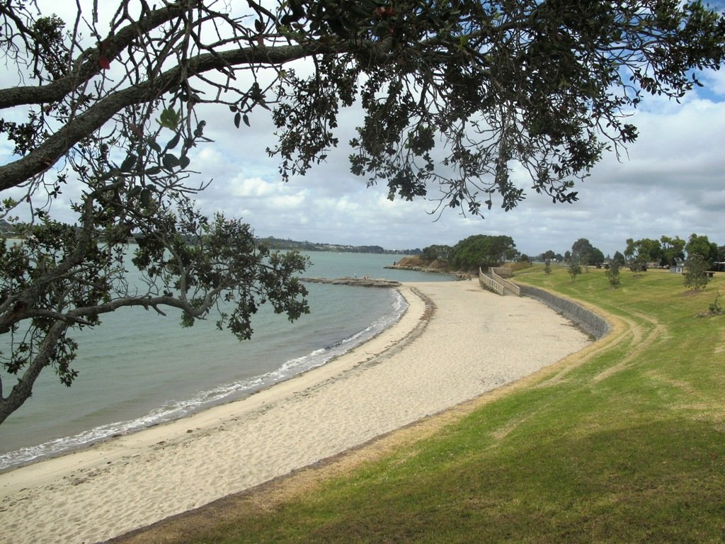
To see: New Zealand bush, streams
Time: approx. 90 minutes (about 7.5 kms).
Start:  Kell Park, Albany. MAP

Find other walks at our Walk Store.
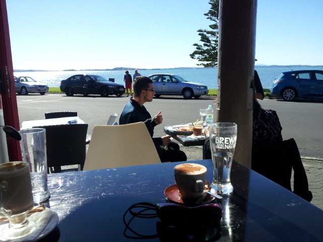
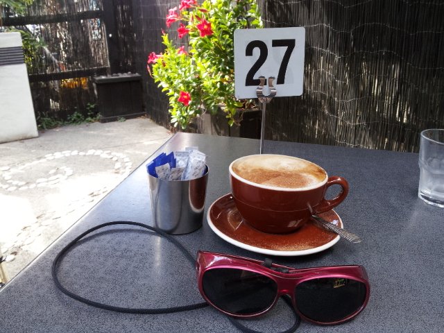
Bayview Coast and Bush Walk

Today we set out to explore the Bayview area near Glenfield on Auckland’s North Shore. What a wonderful surprise to find a beautiful bush walk, alongside the Upper Harbour reaches, all part of the Glenfield Coastal Walkway.

Manuka Reserve © 2011-2013 Unleashed Ventures Limited

The walk takes in Manuka Reserve with views of the upper harbour, Hobsonville Point and native bush. Not only are there stands of manuka trees (tea trees) beside the estuary, but inland within Leigh Scenic Reserve, there are kauri trees and palms.

This circular walk is mostly bush with only a small section of street footpaths.  It is suitable for families, with two places to stop at playgrounds. Dogs must be kept on leash.

Description: Bush track, steps, inclines and board walks. Muddy in places when wet. Suitable for users of average fitness and mobility.
To see: Native bush, small waterfalls, views across Auckland Harbour to Hobsonville Point, native birds.
Time: approx. 60 minutes. (about 5.0 kms). Dogs on leash. Two childrens playgrounds.
Start: Lynn Road, Bayview near Glenfield. MAP

***Please note: September 2018 This track has been temporarily closed due to Kauri Dieback

Stay on track…get your detailed guide and map (AN-080 Bayview Bush Walk)over at our Walks Store  and our Book Store (one of 12 walks featured in our books “Urban Bush” and “Dog Friendly Walks part two”).

Half Moon Bay East

Half Moon Bay marina - ©2013 walksinauckland.com

This walk at Half Moon Bay explores the parks and reserves to the east, and then heads down to Eastern Beach. On a sunny day at high tide it is quite beautiful! The new-ish boardwalk, is a great finishing touch as you return to Half Moon Bay.

It was very busy at the Half Moon Bay cafes today – with many people out making the most of the sunny, warm weather and Mothers Day.

Description: Mainly level paths, steep steps and steep slopes. Suitable for users of average fitness and mobility.
To see: Views of Tamaki Estuary, marina, Eastern Beach Esplanade; views of Rangitoto, Mount Wellington and One Tree Hill
Time: approx. 75 minutes. (about 6.0 kms)
Start from: Half Moon Bay Marina  MAP

Stay on track…get your detailed guide and map (AE-072 Half Moon Bay East) over at our Walks Store  and our Book Store (one of 12 walks featured in our books “Coastal part 2” and “Best of the East”).


Kingsland-Mt Eden Loop

This Auckland walk takes you from Kingsland Train Station (with views of Mt Albert), touches the city end of Dominion Road, Eden Quarter, and through the suburban streets of Mt Eden, to Mt Eden Village and return.

Kingsland, Auckland

You can enjoy the tree lined footpaths and beautiful old homes.  And this walk makes it very apparent that Eden Park is really in Kingsland.

You can choose to take your time and stop at various shopping precints along the route or do the 90 minute walk in one gulp!

Description: Mainly level paths and steps. Suitable for users of average fitness and mobility.
To see:  Kingsland, Dominion Road, Mt Eden Shops; residential homes
Time: approx. 90 minutes. (about 7.0 kms). Dogs on-leash. One small children’s playground.
Start: Kingsland Train Station MAP

Stay on track…find this walk’s map and directions guide ( AC-065 Kingsland-Mt Eden Loop) and other walk self-guides at our Walk Store

Saint Johns Explorer

We have previously explored St Johns Bush and wanted to incorporate the beautiful nature reserve into one of our longer circular walks.

St Johns Bush native ferns

This walk does just that, as well as passes through the reserves and playgrounds (Rutherford Reserve has a flying fox) within the suburb of Saint Johns. This walk suits adults as well as primary school age children. St Johns Bush has signposts to help us learn about the native trees and ferns.

Short Walks in Auckland: Urban Bush

Description: A mix of level and slightly hilly paths. Suitable for users of average fitness and mobility.
To see:  St Johns Bush native trees and ferns, residential housing, reserves
Time: approx. 45 minutes. (about 4.0 kms)
Dog off leash area: Allen Johnston Reserve
Start: Ipswich Place, Saint Johns  MAP

Stay on track…get your detailed guide and map over at our Walks Store  (AE-060 Saint Johns Explorer) and our Book Store (one of 12 walks featured in our books “Urban Bush” and “Dog Friendly Walks part 2”).

Point England Walk

Point England Reserve

We are not familiar with the Tamaki and Glen Innes area, so today was our first walk and explore. And we discovered beautiful Point England Reserve.  What a gem! We had no idea that there was a sandy beach here.

This walk offers great views of East Auckland and the Waitemata harbour and as the walkway passes through bush, mangroves and farmland. This route is a part of the 7.5km  Point to Point Walkway.

The walking route is also great for prams/buggies and dog walkers (on leash only).

The lack of rainfall has made the Omaru River smelly, so we do hope that will improve when it next rains.  Part of the path is in great need of maintenance.  We wonder if the local schools could adopt part of the walkway and learn how to maintain and enhance the bush and stream??? (The Omaru River is an outlet of Orakei Basin and runs underneath Meadowbank to Apirana Ave, through Maybury Reserve and out to Wai O Taiki Bay).
Update: a project was kicked off in June 2013. Read: Youth keen to save river

Description: Mostly level paths. Suitable for users of average fitness and mobility. (Take bread to feed the ducks)
To see: Estuary views, boats, wetlands, mangroves, residential housing, view of two volcanoes – Mt Wellington and One Tree Hill, Point England Reserve, Maybury Reserve feijoa trees
Time approx. 80 minutes. (about 7.0 kms)
Start: Glen Innes Train Station (or Point England Road Reserve at end of Point England Road)  MAP
Nearby Walks: Tahuna Torea, Waiaturua Reserve

Stay on track…get your detailed guide and map over at our Walks Store  (AE-059 Point England Walk) and our Book Store (one of 12 walks featured in our books “Coastal part 2” and “Best of the East”).

Orakei Basin walkway

The  Orakei Basin walkway upgrade that began in 2010 is complete. The concrete has been poured onto a new pathway on the Macpherson Track.  And it is fantastic! The bridge over the Orakei Creek is beautiful. Now Orakei and Meadowbank are connected by a boardwalk along the railway line that both pedestrians and cyclists can use.

Orakei basin walkway

There is a pathway from Orakei Railway station and under Orakei Road that leads directly onto the boardwalk that crosses Orakei Basin beside the railway line. It is now easier to catch the train to Orakei and walk around the basin, then return and stop at the Kings Plant Barn for refreshments at the cafe.
(* Teen friendly walk)

The morning was still, clear and sunny causing the reflections on the water to be almost perfect. This tidal lagoon is in a volcanic crater. It was high tide, which we were not expecting. This walk takes you through small patches of bush and up high onto the ridge for a view of the city skyline.

Description: A mix of level and steep paths, steep steps. Suitable for most ages and levels of fitness and mobility, designed with flat shoes or running shoes in mind. Not suitable for wheelchairs and pushchairs.
This is a dog friendly walk with an off-leash area.(See other Dog Friendly Walks)
To see: Wonderful views of Mt Eden and Auckland City skyline. Small areas of bush. Railway track. Birdlife. Volcano crater.
Time: approx. 45 minutes (about 4 kms).
Parking: Near Kings Plant Barn, off Orakei Road near train station.
Buses: to Orakei Train Station
(Please note: no public toilets)

12 Volcano WalksSuggested Cafés:Kings Garden Cafe does very good coffee (and lunches) as does Cafe Greenfingers at the Palmers Garden Centre

Stay on track…get your detailed guide and map over at our Walks Store  (GS-017 Orakei Basin walkway) and our Book Store ( one of 12 walks featured in our book “Volcanoes”) or…you can download this free Orakei Basin walkway map from Auckland Council.

Wynyard Quarter waterfront loop

Wynyard Quarter Auckland

Another beautiful sunny, calm winter’s day in Auckland!  The harbour water was dazzling as we walked along the Wynyard Quarter waterfront and the Viaduct Basin.

This walk is a flat one that is great for visitors to Auckland and families who enjoy Auckland’s maritime theme.

The circuit we walked took in many interesting sites- from the new open spaces, fishing boats, trams, opening bridges and fish markets to the super yachts and harbour-side bars and restaurants.

The walking route is also suitable for prams/buggies and dog walkers (on leash only).

The new Wynyard Quarter Stage One opened for business in August 2011. As the Wynyard Quarter expands, there will be more to see and do.  So it’s worthwhile coming back often to view progress.

Verdict: Lots to see and do. Fun for children. Easy for push chairs and wheel chairs.

See more photos on our Facebook page.

This walk can be linked together with the Point Erin and Auckland Harbour walk for a longer walk starting from the Ferry Building/Britomart and taking in Victoria Park markets.

Nearby Attractions: Auckland Fish Market (cnr Jellicoe and Daldy Streets) Voyager Maritime Museum

Description: mainly a level path. Suitable for users of average fitness and mobility. Suitable for wheelchairs and pushchairs.
To see:  Auckland harbour views, Rangitoto Island views, bridges, yachts
Time: approx. 45 minutes. Plus time for lingering(about 3.89 kms)
Start: Off Halsey/Beaumont Streets or from Britomart MAP

Coastal walks in Auckland book (part 1)

Stay on track…get your detailed guide and map over at our Walks Store  (AC-044 Wynyard Quarter & Viaduct Harbour Loop walk) and our Book Store (one of 12 walks featured in our book “Coastal part 1”).

Point Erin and Auckland harbour walk

Auckland Harbour Bridge

A glorious day after very rough weather earlier this week made the walk today very enjoyable.  The sun shone on the full tide, which encouraged me to take many photos as we walked around Westhaven Drive and under the Harbour Bridge.

This Auckland walk not only has fabulous views, it is mostly flat (apart from the steep steps at Jacob’s Ladder (which have recently been shortened)), Victoria Park has a great children’s playground and skate park, and there are beautiful old homes to enjoy. There is also a dog off leash area along the way.  Victoria Park Markets have been upgraded with cafes and a few retail stores.

Westhaven Promenade - short walks in Auckland

30th January 2015: The Westhaven Promenade is now open. This will form part of a 20km continuous walkway and cycleway that runs from Herne Bay in the west to Tamaki Drive in the east. Read more: Westhaven Promenade

Dogs – this walk includes an off leash dog exercise area in Point Erin Park.

Description: A mix of level paths, one lot of steep steps. Suitable for users of average fitness and mobility. Running shoes suitable.
To see:  Auckland City views, Rangitoto Island views, harbour views, Harbour Bridge.
Time: approx. 60 minutes. (about 5.4 kms)
Parking: Carparks in Westhaven Drive

We stopped at the Sitting Duck Cafe for a coffee in the sun, overlooking the moored yachts – bliss!  I didn’t want to leave…

Coastal walks in Auckland part 2

Stay on track…get your detailed guide and map over at our Walks Store  (AC-043 Point Erin and Harbourside) and our Book Store (one of 12 walks featured in our book “Coastal part 2”).

Botanic Gardens and Totara Park Loops

walks in Auckland

A beautiful sunny morning made our trip south for a walk around the Auckland Botanic Gardens and Totara Park walking tracks and the Puhinui Stream forest, a wonderful experience.

We had set out to do a 5km walk but we ended up getting lost due to poor signage.

There was a good side to getting lost 1) we walked further than we had planned and 2) we found a look-out that we did not know existed which gave us a clear view all the way to the Auckland city skyline and across to Manukau Harbour.

The Puhinui Stream Forest Trail (the full loop trail is approx 4 kms) in Totara Park was gorgeous with the sunlight dappling the native ferns and palms. The trail took us past beautiful totara, puriri, nikau and kauri trees. We enjoyed soaking up the beauty of the lush native forest.

There are great spots to stop and picnic along the trail and children’s playground areas (including a  children’s flying fox). Dogs on-leash on the trail, but there are off-leash areas. It makes for a great family day out. (And if you are into mountain biking or want to give it a try, there is a 15 km mountain bike track here too).

Dogs – off leash exercise area between north side of the Gardens and Totara Park.

If you have children then we do recommend a visit to the Potter Children’s Garden (within the Botanic Gardens) – and as adults we enjoy visiting them too! The Auckland Botanical Gardens are magnificent and a wonderful place to visit all year round – the spring blossoms are stunning.

Description: A mix of level paths, steps and slightly inclined paths. Suitable for users of average fitness and mobility. May require boots in wet weather, running shoes suitable in dry weather.
To see: Auckland Botanic Gardens, native bush and palms
Time: approx. 75 minutes. (about 6 kms)
Start: Auckland Botanic Gardens Carpark MAP
Miko Cafe at Auckland Botanic Gardens Visitor Centre provided us with much needed refreshments (we especially enjoy the Piazza D’Oro coffee).

Stay on track…get your detailed guide and map (AS-037 Botanic Gardens and Totara Park Loops ) over at our Walks Store  and our Book Store (one of 12 walks featured in our books “Urban Bush”, “Dog Friendly Walks part 2” and “Best of the South”).

Henderson Opanuku Stream Circuit

walks in Auckland

The Henderson Opanuku Stream walk comes under Project Twin Streams. A great deal of progress has been made. It is a very pleasant short bush walk among the native trees – two giant kauris and many macrocarpas, and the sound of birds. 
This is a dog friendly walk with an off-leash area. And a mostly flat walk.

More work needs to be done on making sign posting clear to encourage more people to get out and discover what a beautiful area it is. The area would also benefit from BBQ areas and children’s playgrounds to encourage more families to enjoy the outdoors.

The walking route is also suitable for prams/buggies and dog walkers (on leash only).

This is another walk that you can get to by rail and make it a day outing as Henderson Railway Station is close by. You may like to pack a picnic or take advantage of the Henderson Cafes.

Description: Mostly level paths. Suitable for users of average fitness and mobility. May require boots in wet weather, running shoes suitable in dry weather.
To see: Trees and fauna, stream, parks.
Time: approx. 75 minutes. (about 5.2 kms)
Start: Opanuku Reserve off Henderson Valley Road MAP

Stay on track…get your detailed guide and map (AW-029 Henderson Opanuku Stream Circuit) over at our Walks Store  and our Book Store (one of 12 walks featured in our books “Urban Bush” and “Best of the West“).

Glen Eden and Waikumete Cemetery Circuit Walk

Walks in Auckland

When I first came to live in New Zealand, I lived in Glen Eden. I had never visited Waikumete Cemetery until today. What an amazingly beautiful and fascinating place.

The Waikumete Cemetery takes up a huge area between Great North and West Coast Roads, with beautiful landscaping and fabulous trees. And there is so much history here – from the 1918 flu epidemic and the Gallipoli soldiers to the mausoleums of the wine magnates of Corbans and Nobilo. It is really worth visiting.

Part of this loop is a short bush walk where you may be lucky to hear the sounds of native birds, and even spot a rabbit dashing for cover.

The walking route is also suitable for prams/buggies and dog walkers (must be kept on leash within the cemetery grounds).

Description: A mix of level paths and steep paths/steps. Suitable for users of average fitness and mobility (with good knees). May require boots in wet weather, running shoes suitable in dry weather.
To see: Auckland City views, Waitakere Hills, trees and fauna, historical graves.
Time: approx. 60 minutes. (about 5 kms)
Start: Waikumete Road MAP

You may decide to arrive by train to Glen Eden railway station and make this a day outing.
The ‘Pumped Cafe’ at the station has good coffee and food or there is a new Columbus cafe on the corner of Oates Road/West Coast Road.

Best of the West - Short Walks in Auckland

Stay on track…get your detailed guide and map (AW-028 Glen Eden and Waikumete Cemetery) over at our Walks Store and our Book Store (one of 12 walks featured in our book “Best of the West“).

St Johns Bush

Walks in AucklandToday was my first visit to St Johns Bush. This little gem of a nature walk is in a reserve of beautiful native trees and bush, with a stream and a mighty Kauri tree.
This is a great spot to take vistors to show them native New Zealand bush without having to drive to the Waitekere Ranges.

The only sounds we could hear were the calling of the birds, the rain dripping off the trees and the running of the stream. All this in an urban area!

We arrived via a back entrance so we got a little lost at first, however once we found the main entrance and a map, it all became clear.

There is no nearby cafe, so we drove up to nearby Meadowbank shops and found a choice of 3 cafes.

Download this walk for free here or for longer walks that take in the St Johns area see Apirana St Johns Loop and Saint Johns Explorer

Walks in Auckland