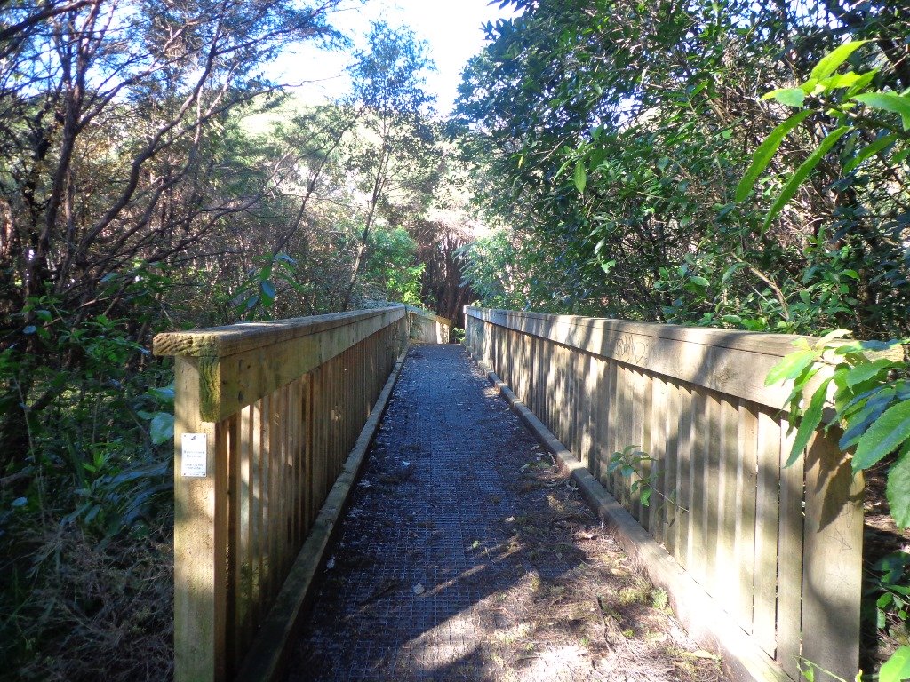
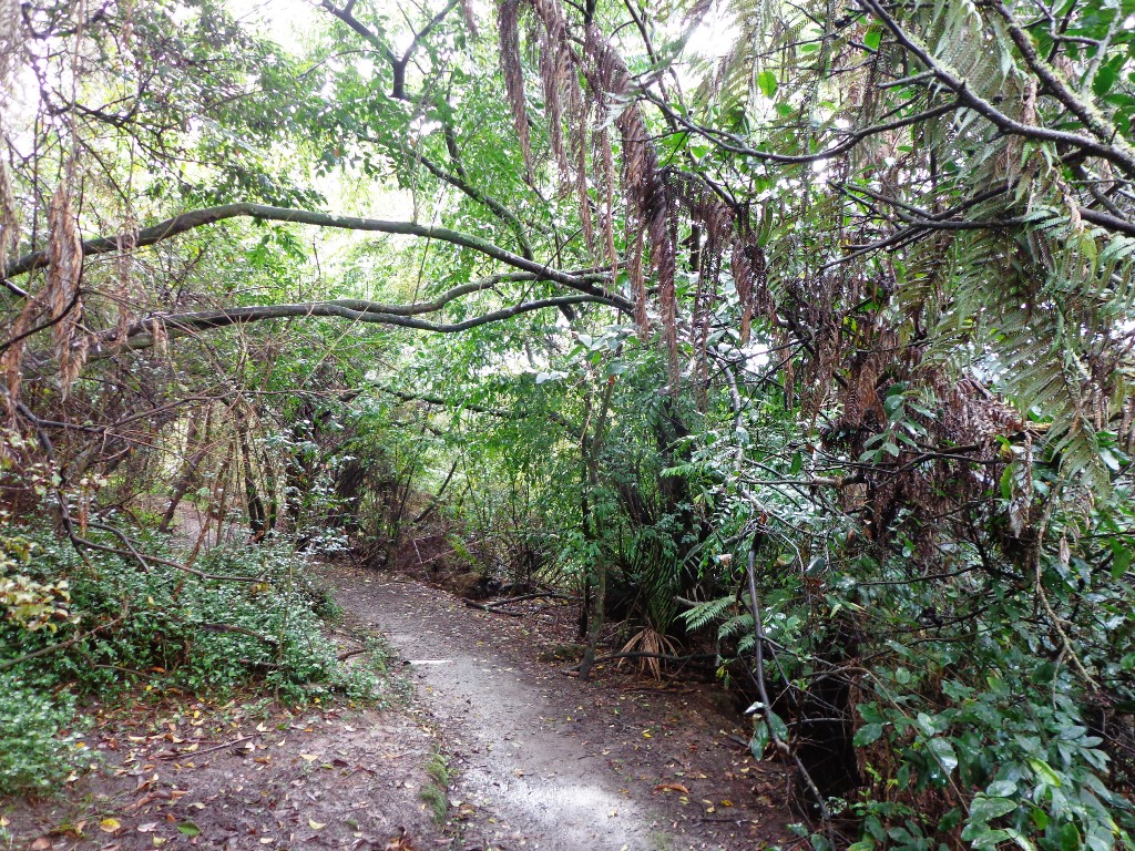
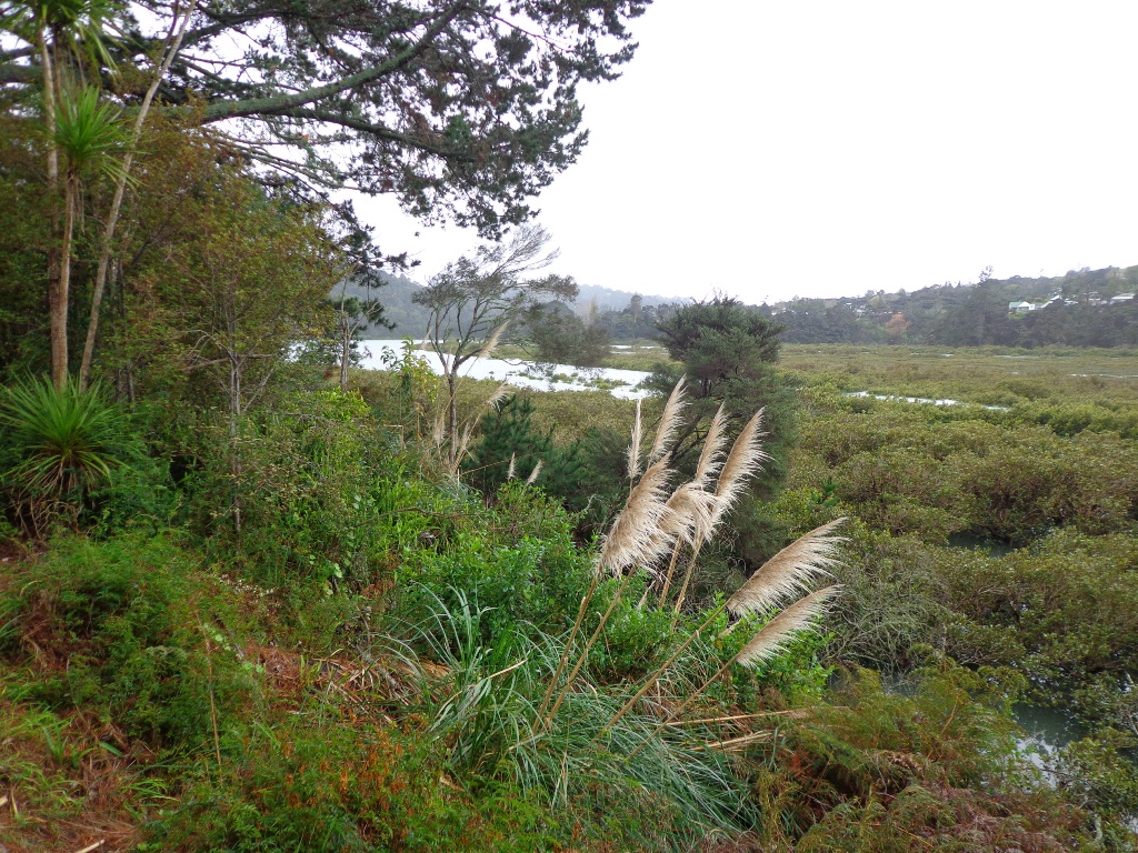
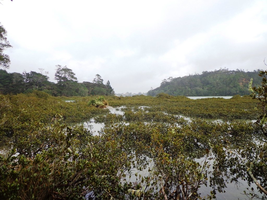
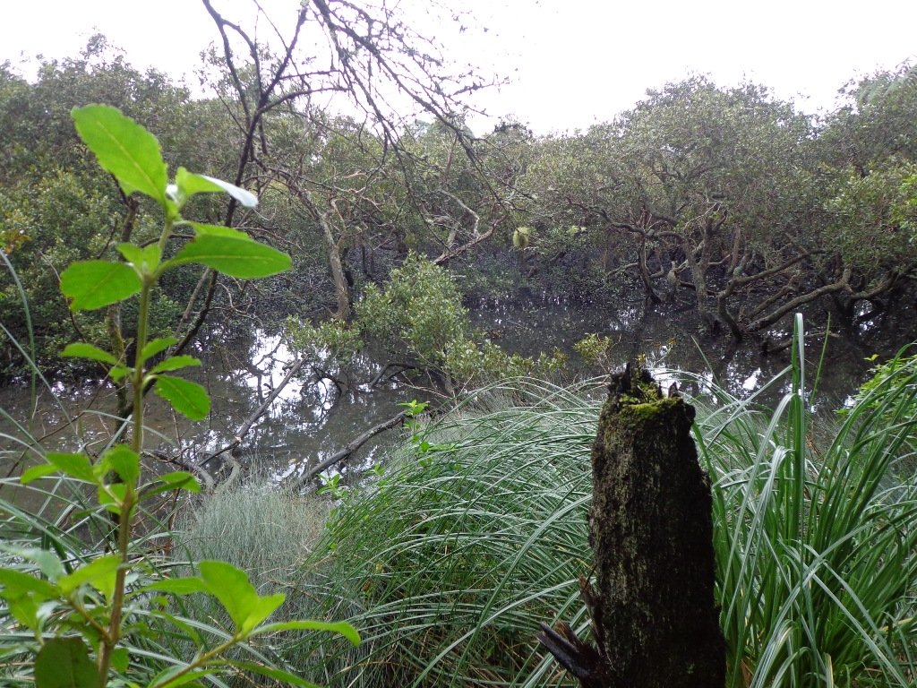
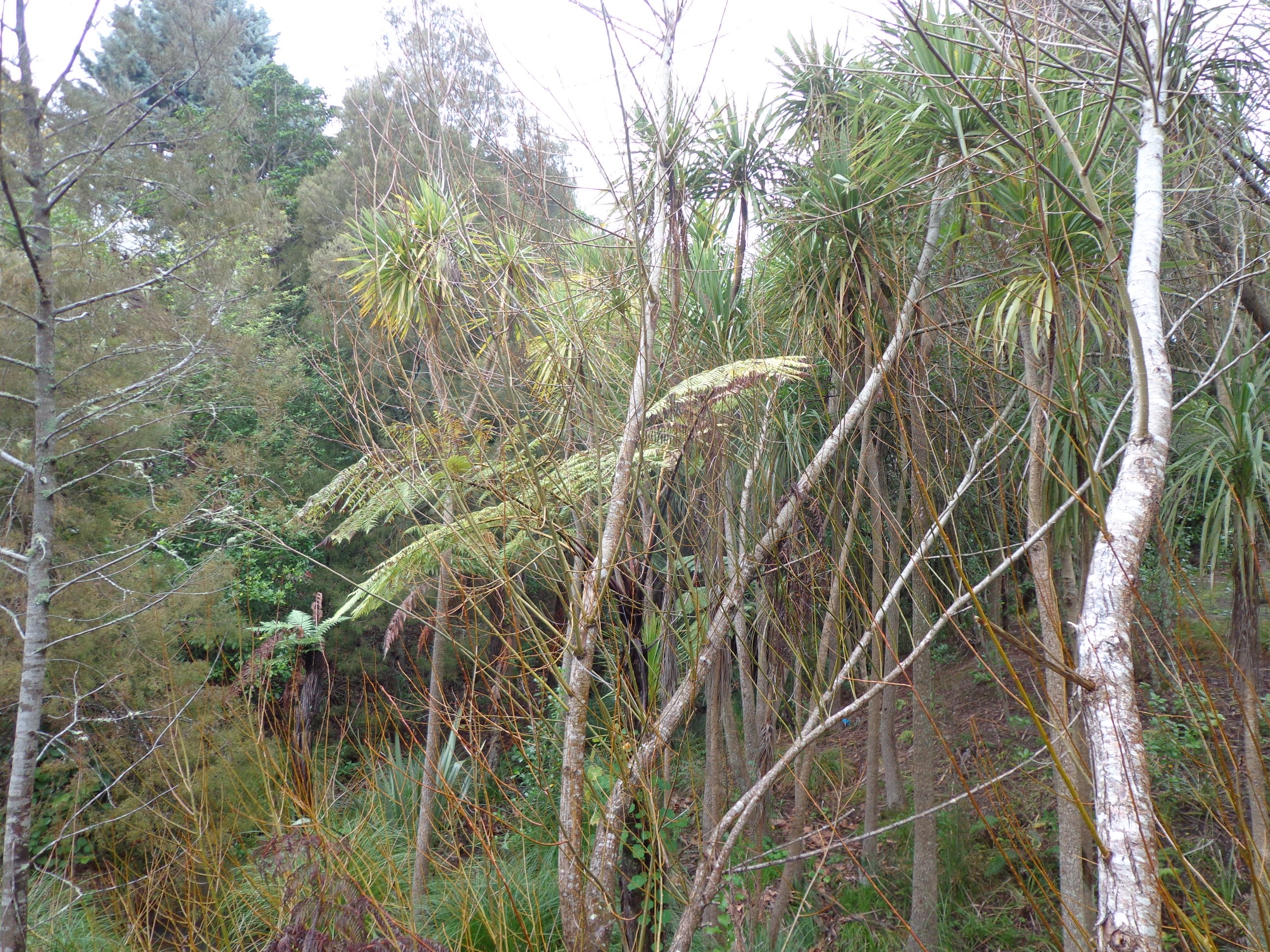
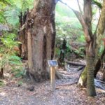
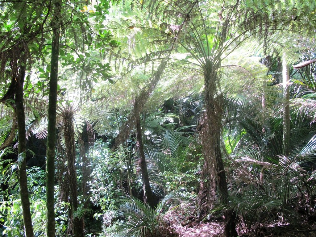
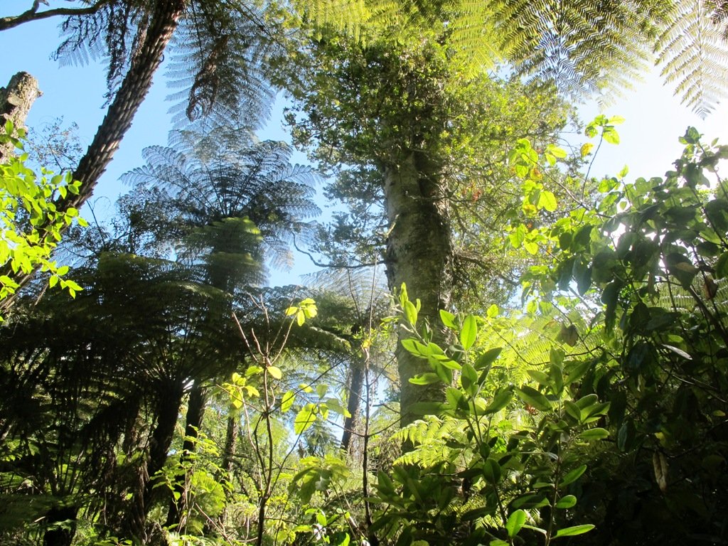
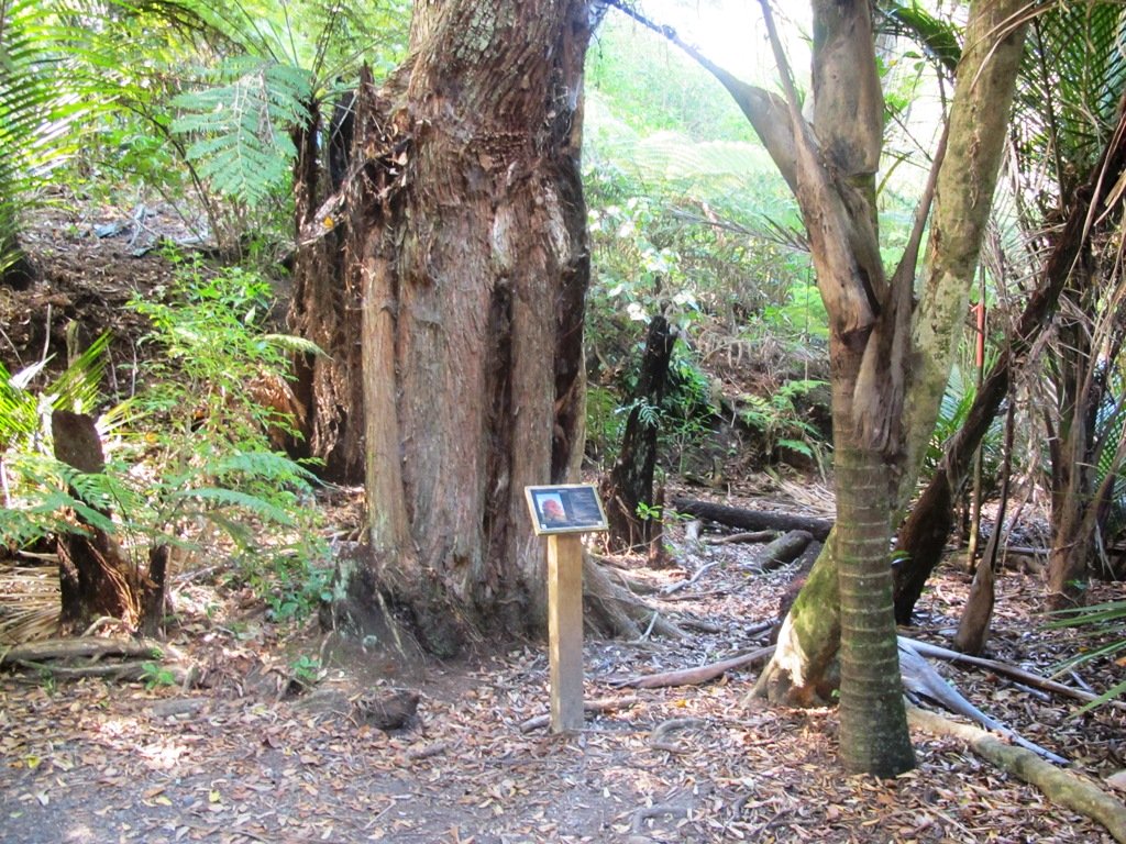
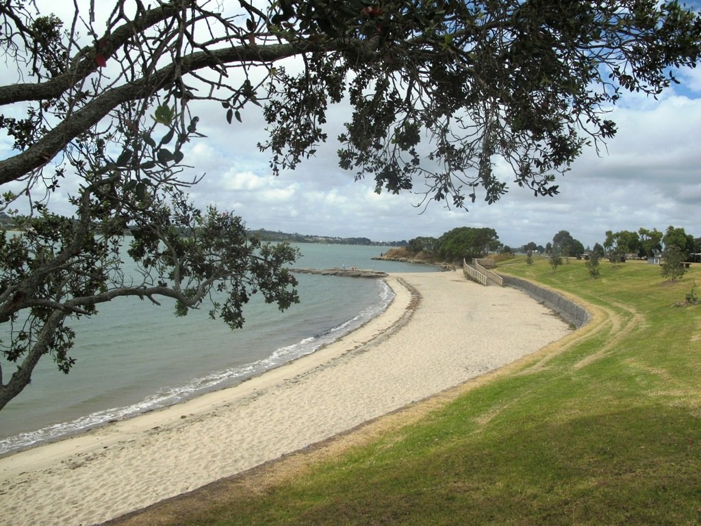
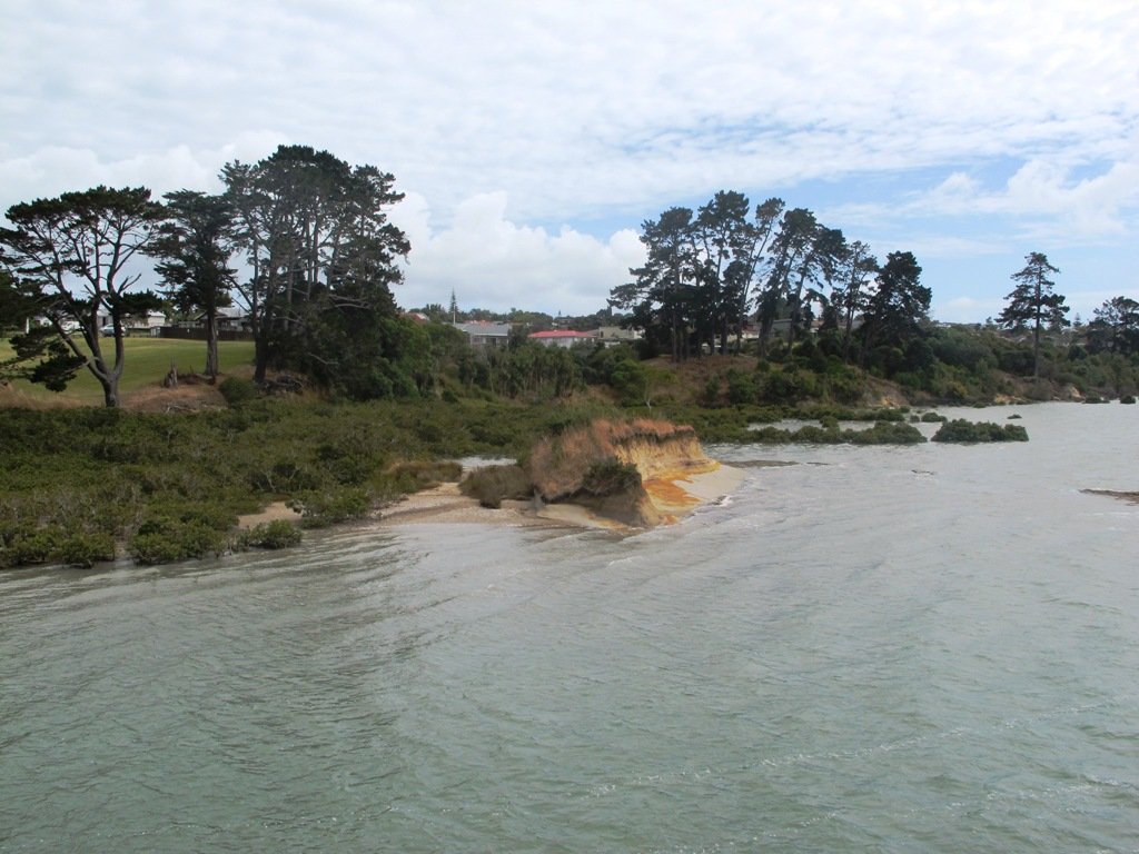
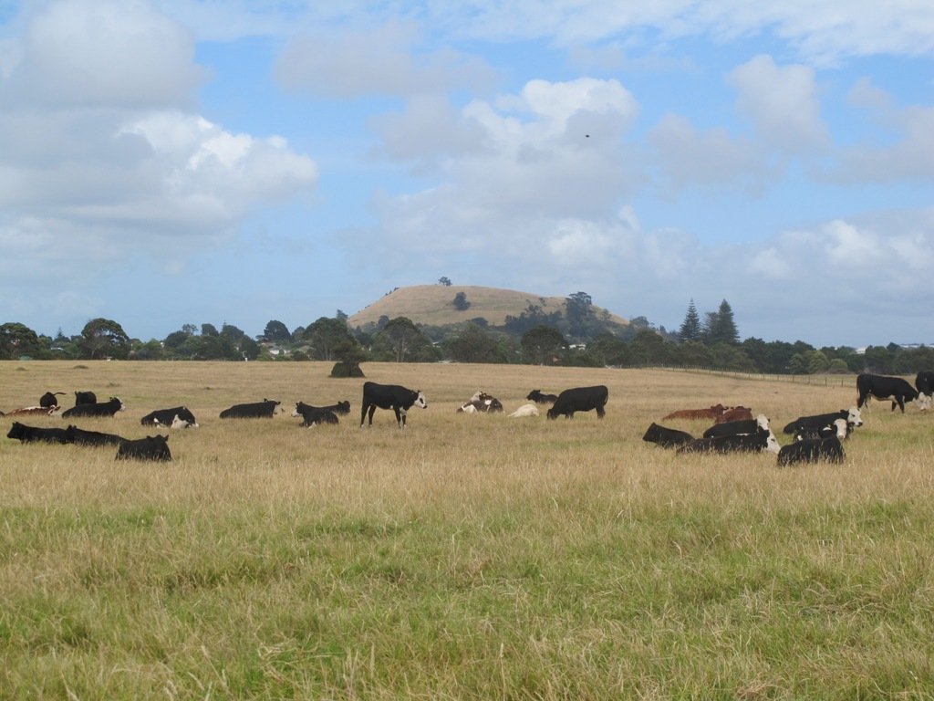
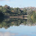
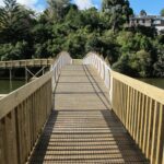
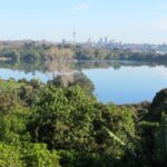
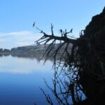
The Beach Haven coastal walk on Auckland’s North Shore hugs to the coastline with views to Bayview, Hobsonville Point and the bush that runs alongside the Upper Harbour Highway. The route follows Hellyers Creek, then all the twists and turns of the small mangrove-filled inlets, and through trees filled with birdsong.

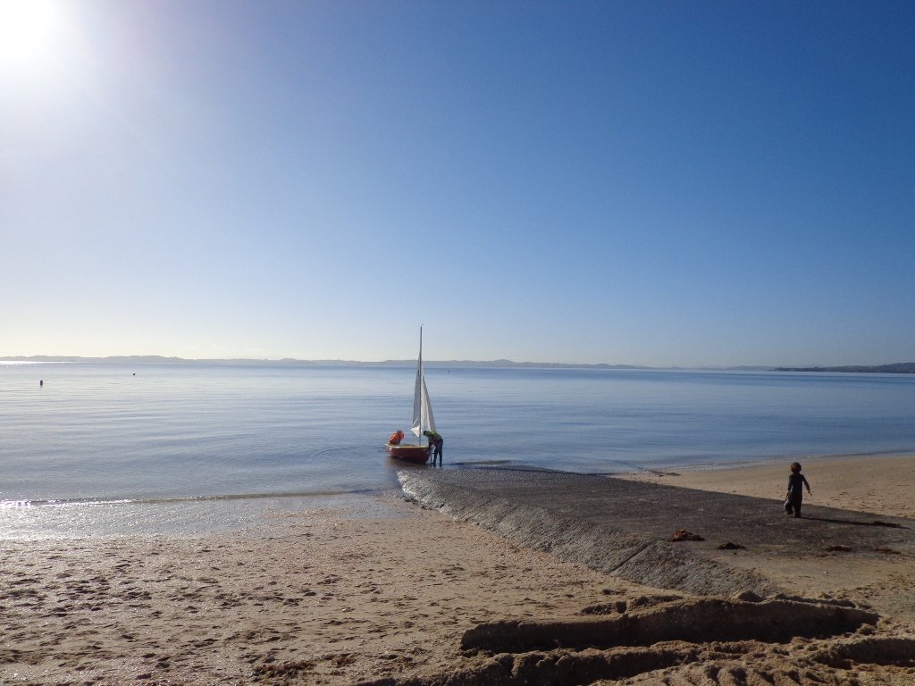
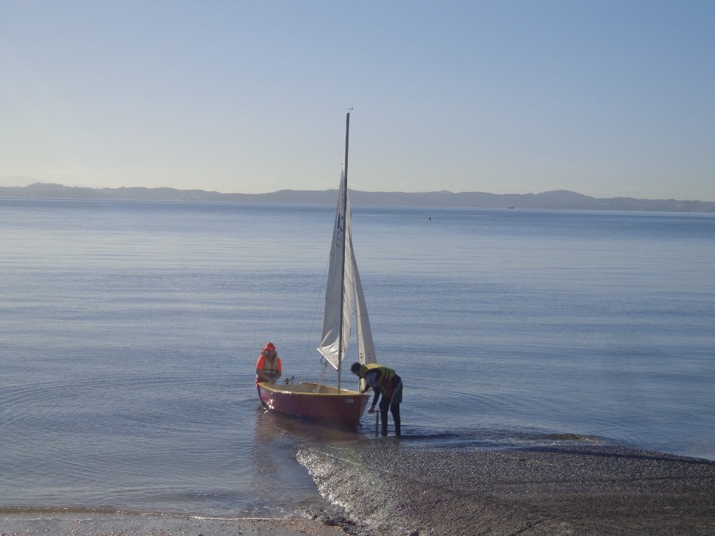
Today was rainy and windy – the yachts sailing out from Hobsonville Point were making the most of the winds. But we were sheltered by the trees and small gullies.
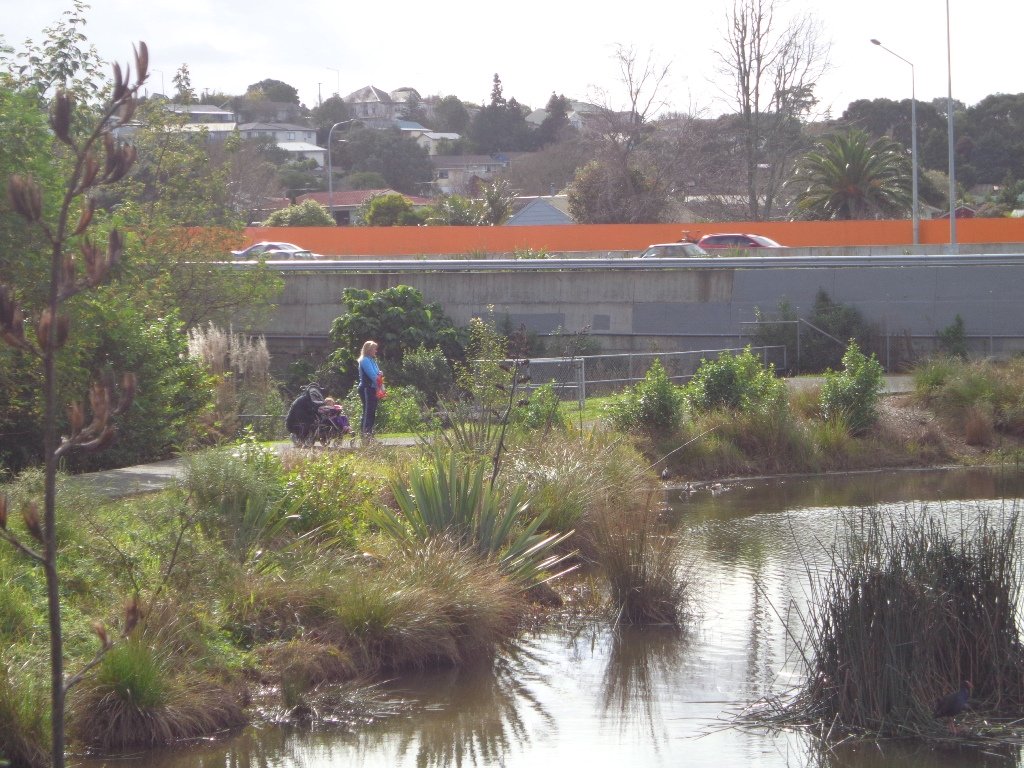
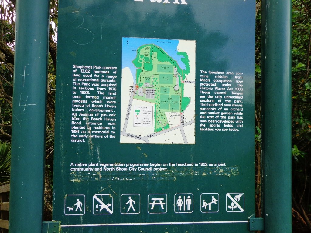
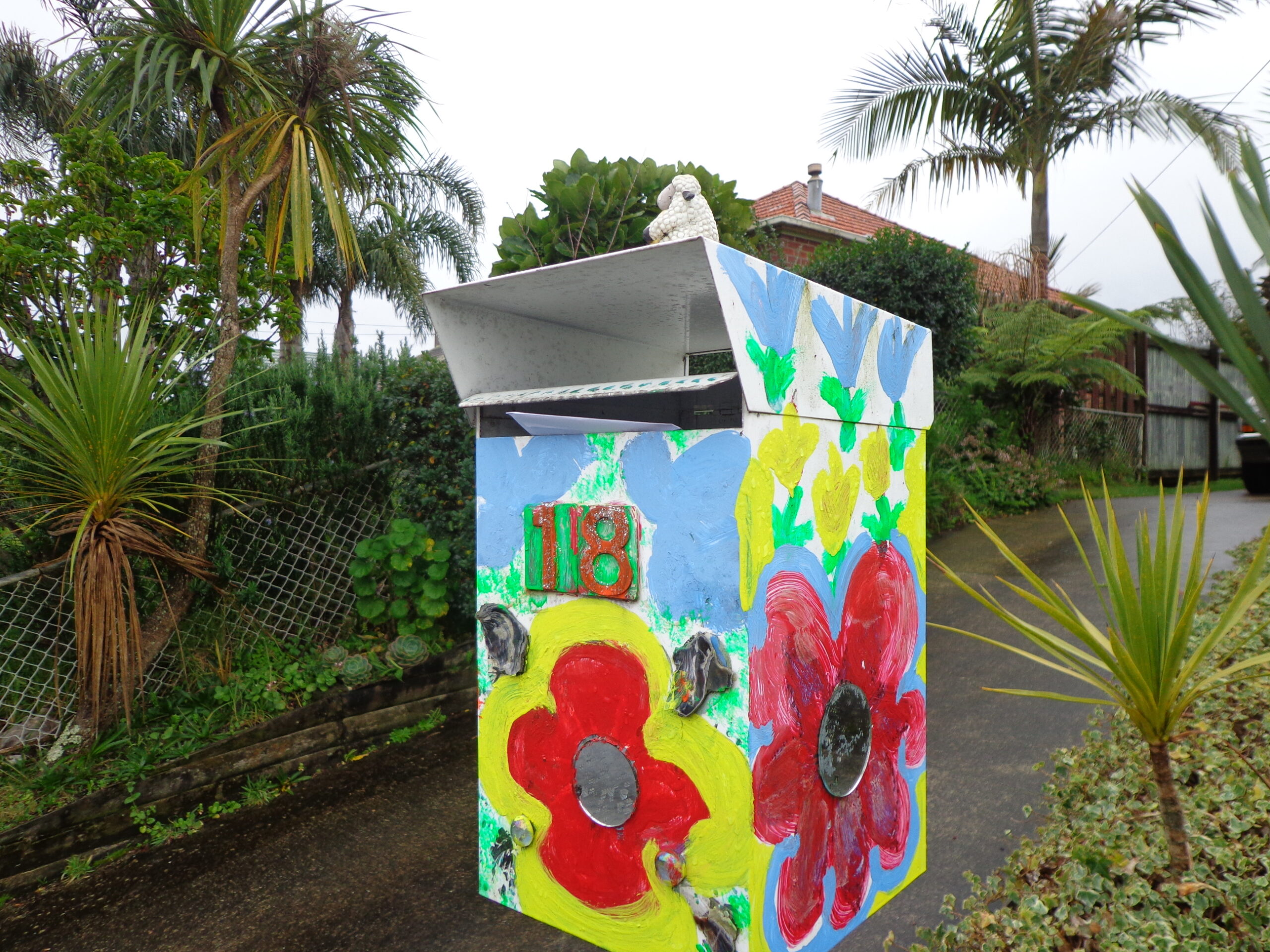
This walk begins at the Community Creche entrance to Shepherd’s Park, where there is a children’s playground a cyclists learning track and a fitness trail, as well as sports fields. The signs indicate that dogs must be kept on-leash (but we did see dogs off leash along coastal walkway).
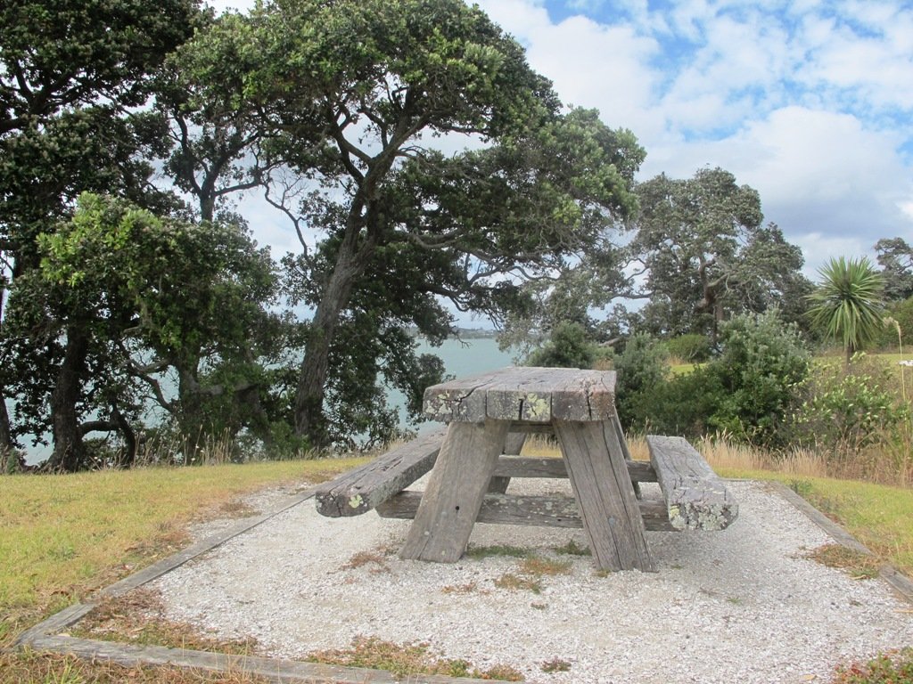
If you wanted to make this a day outing, you could catch a ferry from Britomart to Beach Haven. Bring a picnic lunch.
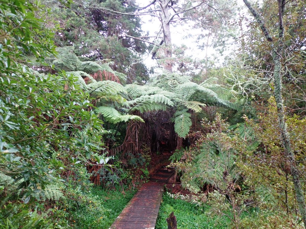
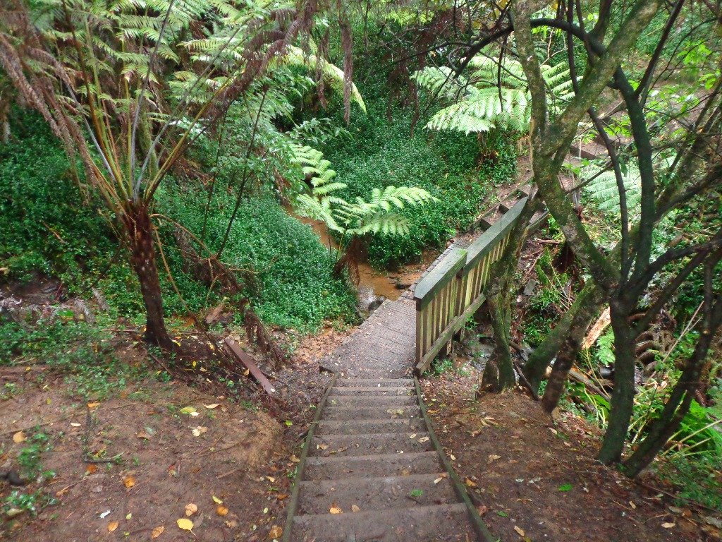
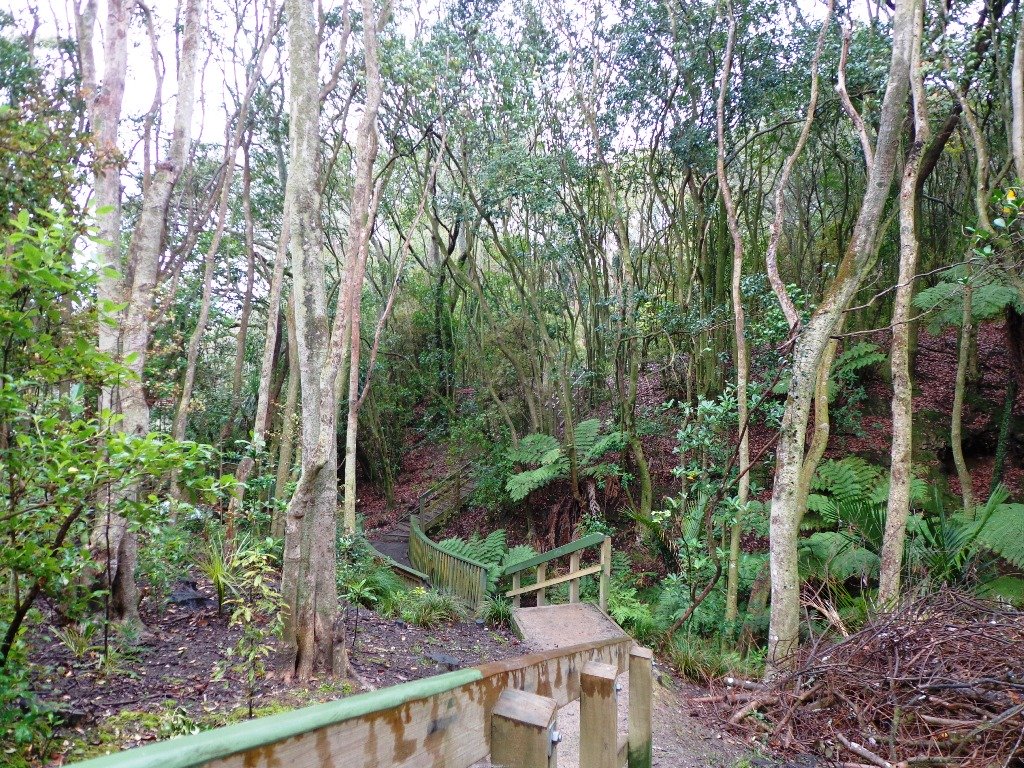
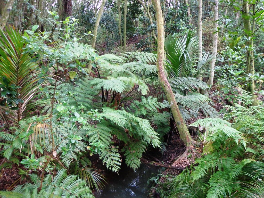
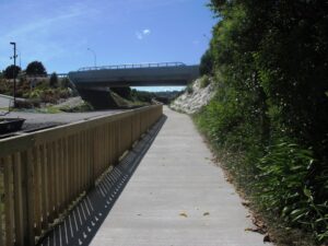
Description: Bush track, steps, inclines. Muddy in places when wet. Suitable for users of average fitness and mobility.
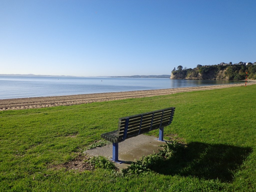
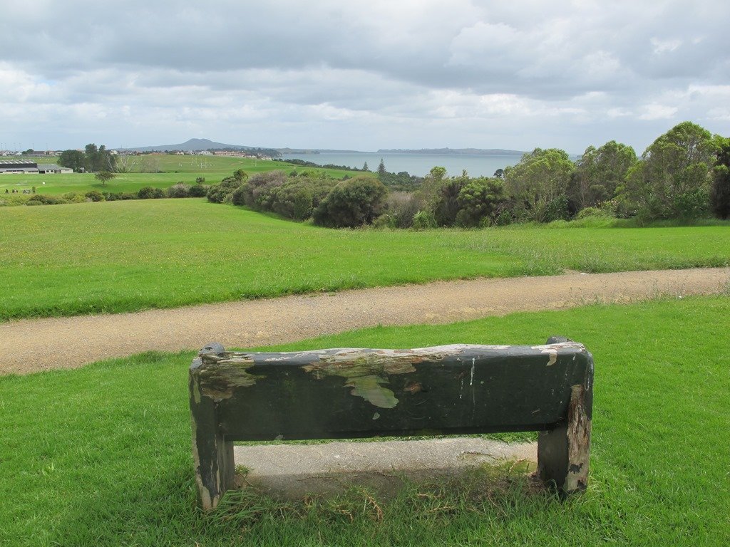
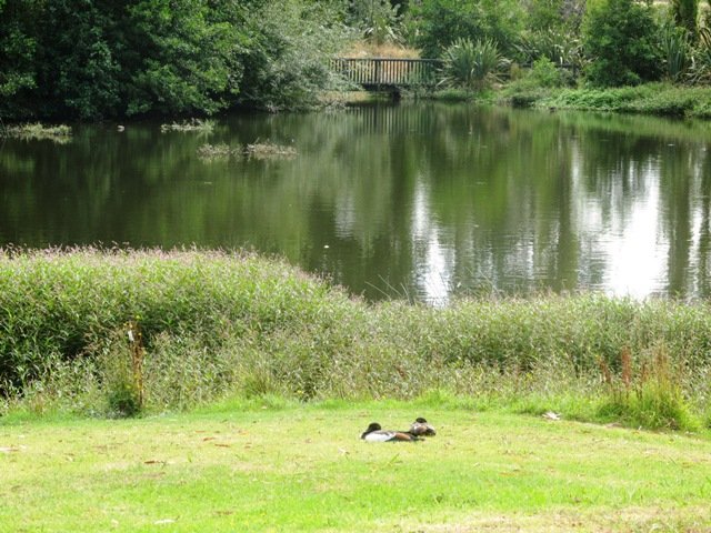
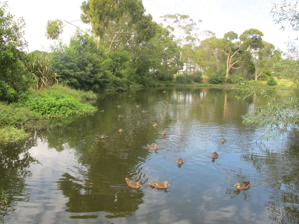
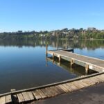
To see: Native bush, views across Auckland Harbour, native birds.
Time: approx. 60 minutes. (about 5.0 kms)
Parking: Beach Haven Community Creche carpark.
Buses: Tramway Road stop on Beach Haven Road.
Ferry: to Beach Haven MAP

Cafe suggestion: CAFE AU BON COIN CAFE PATISSERIE
Stay on track…find this walk’s map and directions guide (AN-084 Beach Haven Coastal Walk) and other walk self-guides at our Walk Store.


 Suggested Cafés:
 The Mangemangeroa Reserve track was a totally new discovery for us today. I was aware of it’s existence (and my awareness was raised further by my friend Isabel).