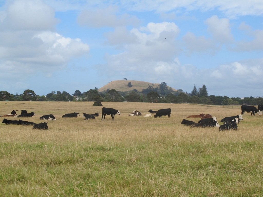
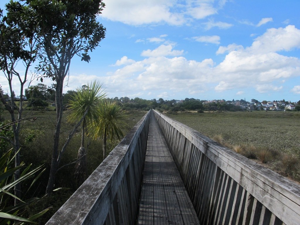
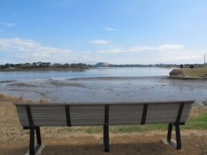
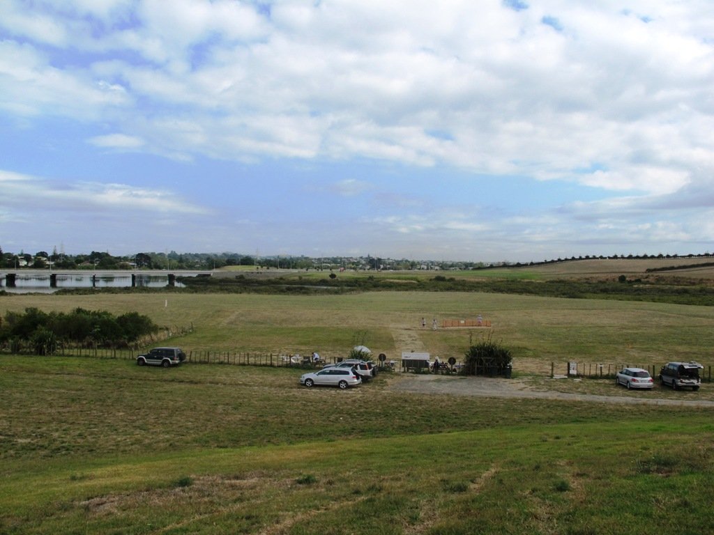
One of Auckland’s less known and visited volcanic cones, Pigeon Mountain (Ōhuiarangi) is worth exploring. This is Auckland’s easternmost volcanic cone and offers fantastic views of the Hauraki Gulf and back across Auckland City. It provides a very unique perspective of Auckland’s geography and at only 55m in height is not a daunting climb.
Pigeon Mountain Ōhuiarangi fields and view towards the summit
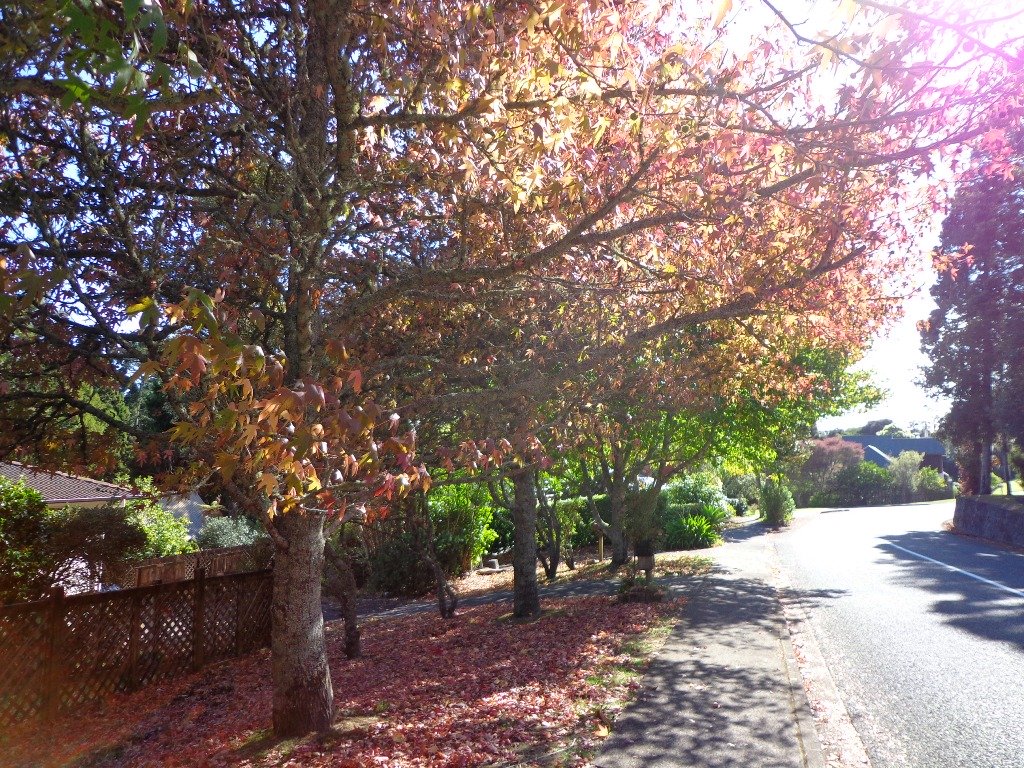
Winter in Auckland can be very wet and sometimes very cold. So to lift your spirits we have listed suggested walks where you can enjoy the signs of spring in Auckland.
Cornwall Park
Baby farm animals tend to warm our hearts, and Auckland has several farm areas that are easy to get to. Probably the best known is one of our favourite places for a walk, Cornwall Park in Central Auckland. Head a little further south to Ambury Park Farm and then onto Puhinui Reserve.
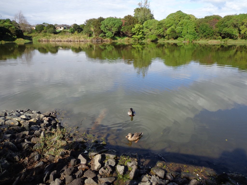
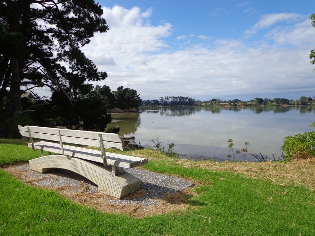
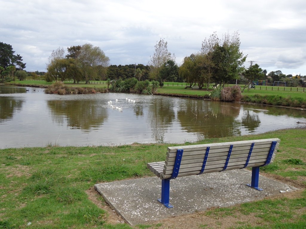
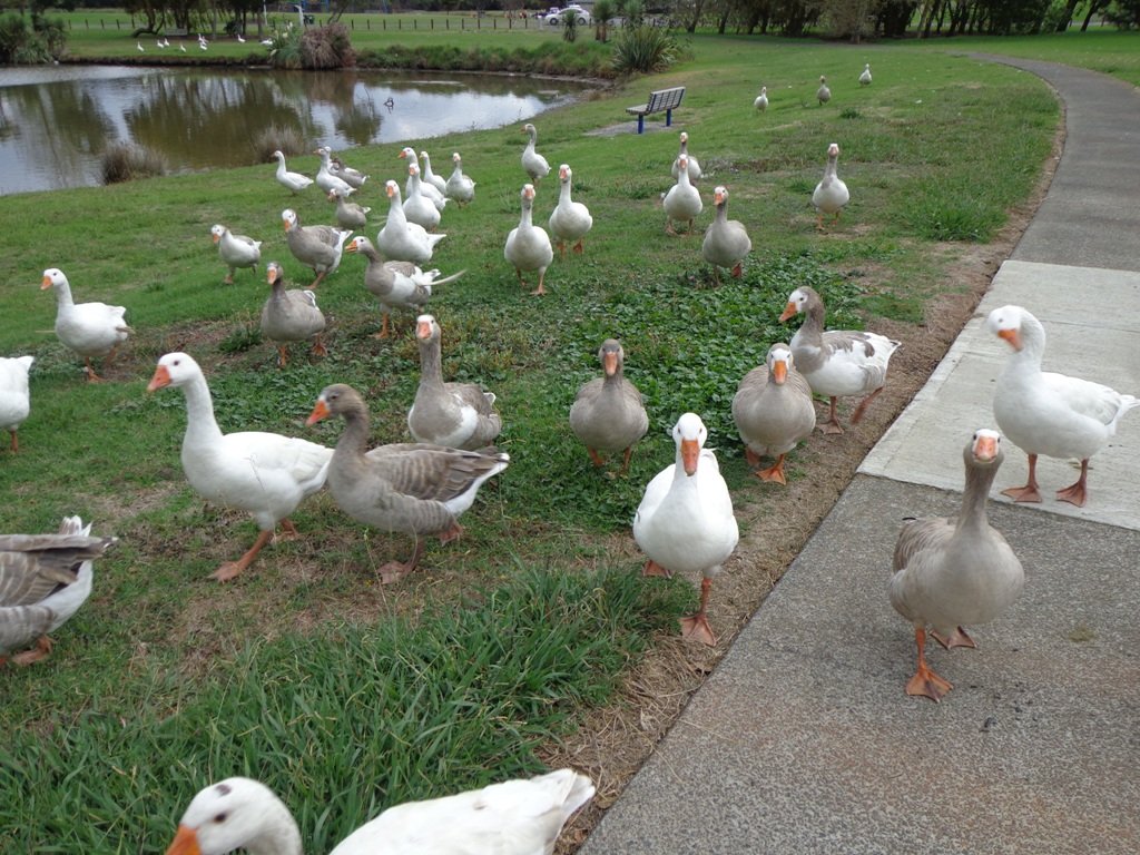
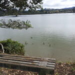
Lake Pupuke Takapuna
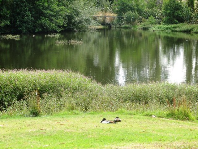
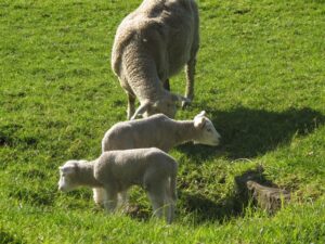
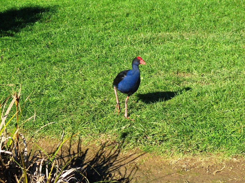
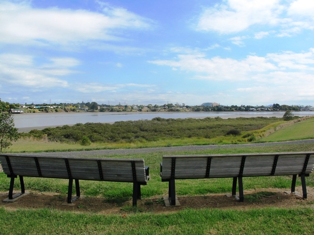
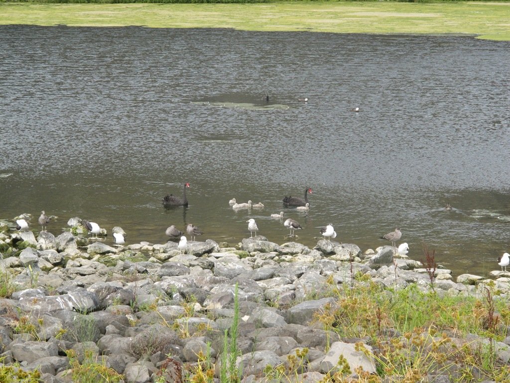
Wetlands, craters and streams attract the bird-life and in spring you will find new additions to families of ducks, geese, swans and pukeko. North Shore – there is Lake Pupuke (an area of the walkway is closed off to protect the youngsters during spring). Central Auckland – there are two waterways that attract the birds – Western Springs and Waiatarua Reserve. You may also spot ducklings in Oakley Creekand the pond inAuckland Domain. East Auckland – visit Tahuna Torea and Pigeon Mountain wetlands. Swan and ducklings breed in a pond along the walkway at Point England. South Auckland – there is Wattle Downs and Barry Curtis Park. West Auckland – Oratia and New Lynn.
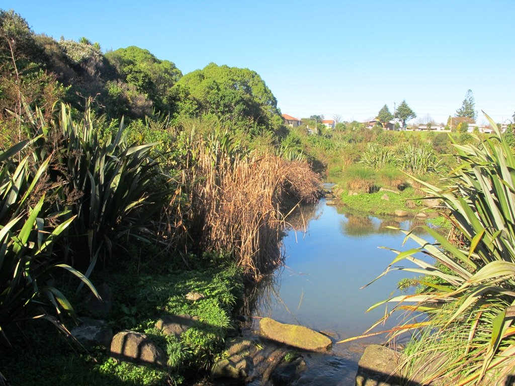
Glen Eden is undergoing stream restoration and cycleways development as part of the Twin Streams Project, so we set out for an exploratory walk to see what we could uncover.
We started off at Ceramco Park, but if you are arriving by train, you could take the Upper Waikumete Walk and Cycle Way starting from the corner of Captain Scott Road and West Coast Road, turn right into Savoy Road to continue to Ceramco Park. We followed the Waikumete Stream, footpaths, walkways and tracks through native bush and wetlands, over bridges and along pleasant residential streets, making this an enjoyable short urban bush walk.
Dogs – Off leash exercise areas within reserves and parks.
Description: Mainly flat with one steep road. Suitable for most ages and levels of fitness and mobility, designed with flat shoes or running shoes in mind. Suitable for pushchairs. To see: Waikumete Creek, wetlands, native bush, kauri trees. Time: approx. 60 minutes (about 5.47kms). Parking: Ceramco Park. Start: 120 Glendale Road, Glen Eden. MAP
Stay on track…get your detailed guide and map (AW-099 Glen Eden Bush & Stream Walk) over at our Walks Store and our Book Store (one of 12 walks featured in our books “Dog Friendly Part 2” “Best of the West“).
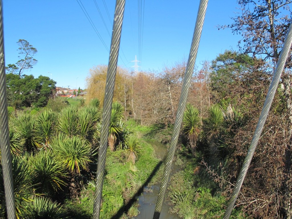
Over the years, we have made many visits to Paul Matthews Road off the Upper Harbour Highway in Albany totally unaware that nearby is the huge Unsworth Reserve with the Alexandra Stream flowing through.
The Alexandra Stream is thought to be named after Princess Alexandra who married the Prince of Wales in 1863.
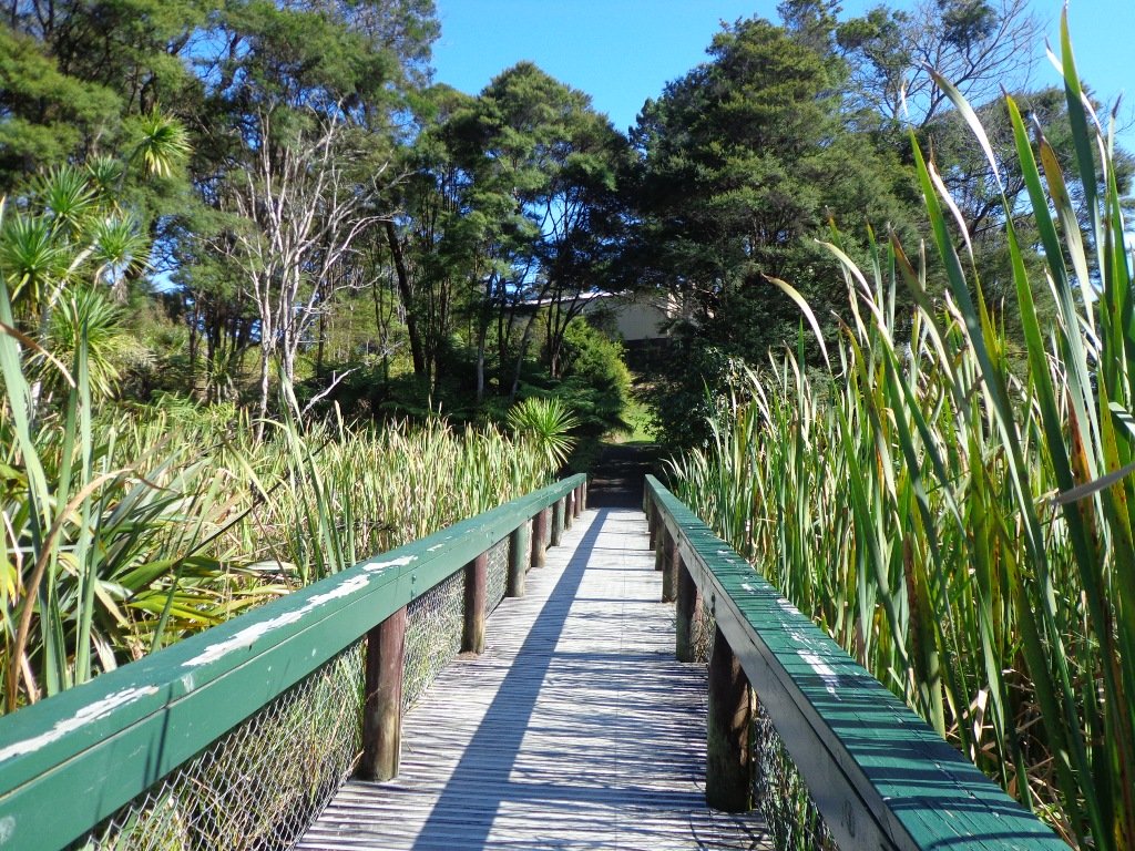
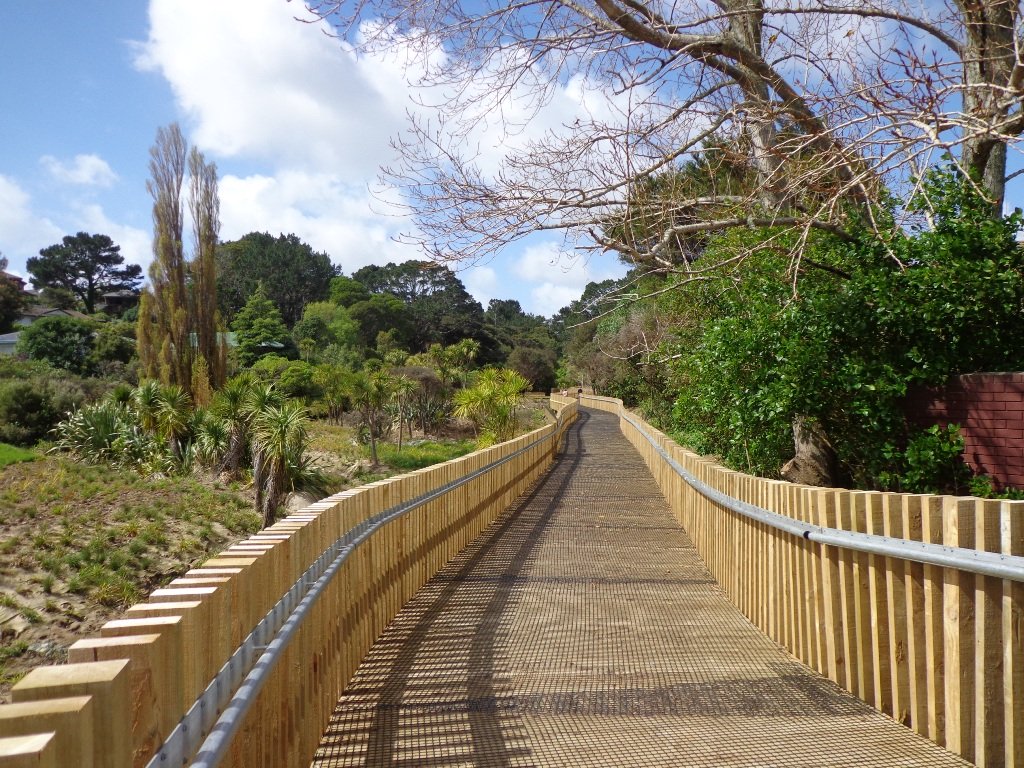
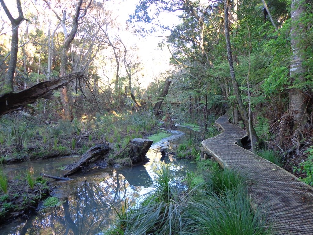
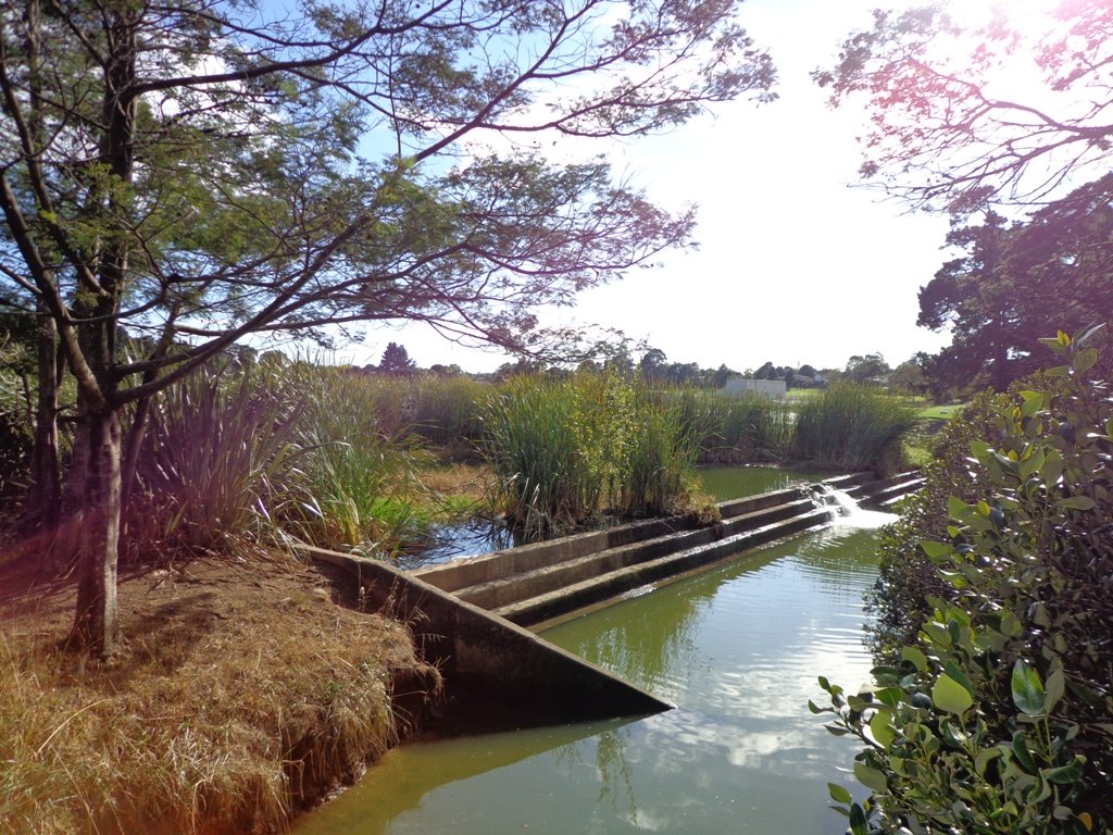
Recently a new board walk/ cycle way has been completed. Obviously we have no idea what was here previously, and can’t imagine how much the project would have cost, but it certainly looks impressive. We hope that it will get a lot of use by recreational and commuting cyclists, pedestrians and joggers. As the many plants and trees grow, it will become a beautiful oasis in the middle of suburban housing.
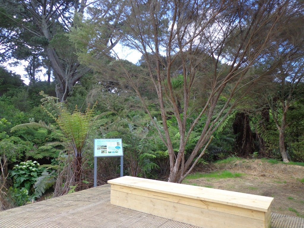
Along the boardwalk are boards – informing us of ways that water quality is being improved, the past fruit cultivation, ways to reduce erosion and plants – the weeds and natives. And we are impressed with the sign posting.
It was fabulous to walk among many silver ferns, ponga ferns and manuka trees beside the untouched paths along the edge of the reserve.
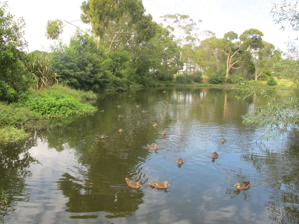
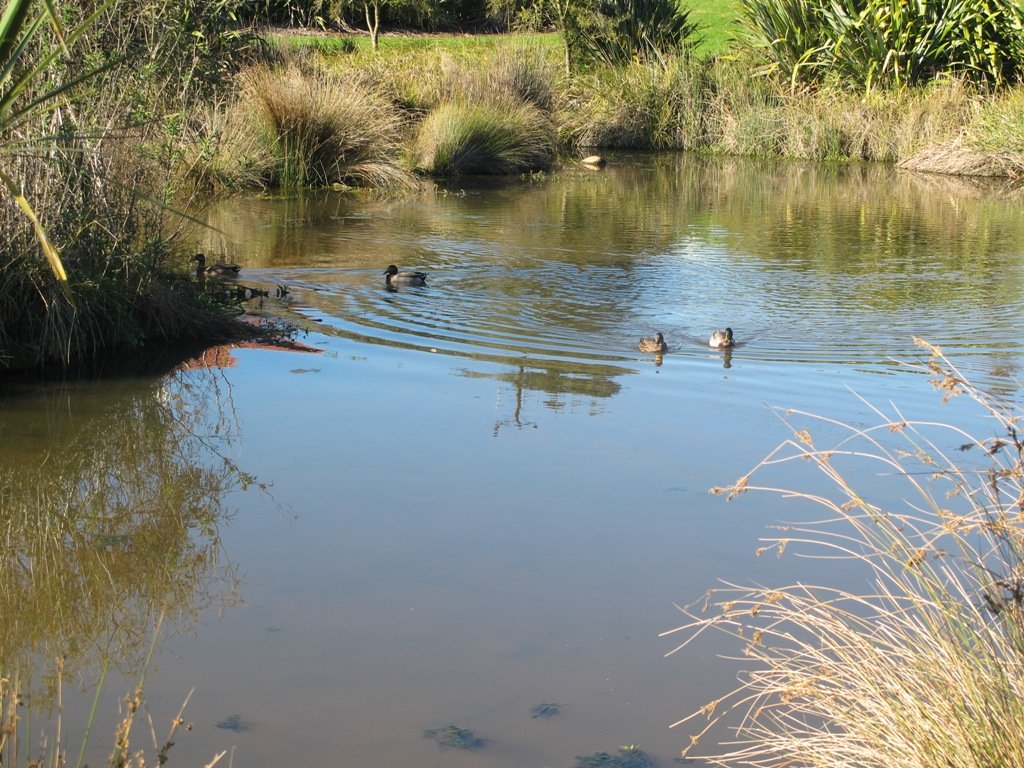
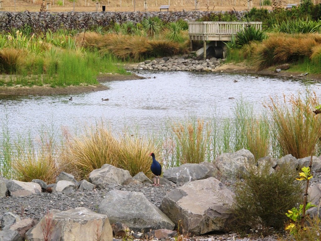
As we were about to return to the industrial edge of the reserve, we were delighted to spot a pair of adult ducks with about 10 to 12 ducklings swimming and feeding among the reeds in the wetlands of the storm water catchment Omega Pond.
Description: Mostly level paths. Suitable for most ages and levels of fitness and mobility, designed with flat shoes or running shoes in mind. Suitable for wheelchairs and pushchairs/prams/buggies. To see: Wetlands, park land, ponds. Time: approx. 60 minutes (about 5.0 kms). Start: Rosedale Park. MAP
FEEDBACK April 2018: “Having (attempted to) walk the Unsworth loop (North shore) today with baby and pram I can strongly recommend DO NOT do so. Overtime the path has been worn down and it’s almost impossible to do the loop because of the thousands of tree roots.” Please take photos and report to Auckland Council.
Stay on track…get your detailed guide and map (AN-092 Unsworth Reserve Loop) over at our Walks Store and our Book Store (one of 12 walks featured in our book “Dog Friendly Walks part 3”).
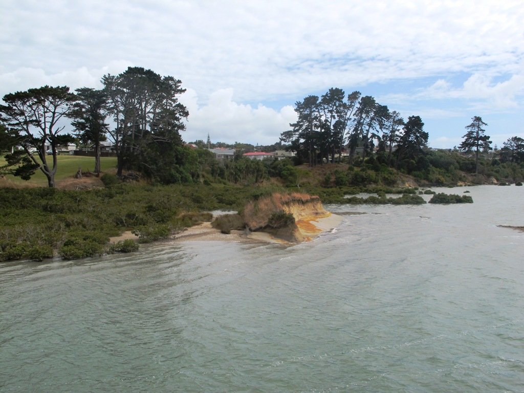
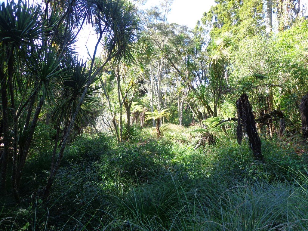
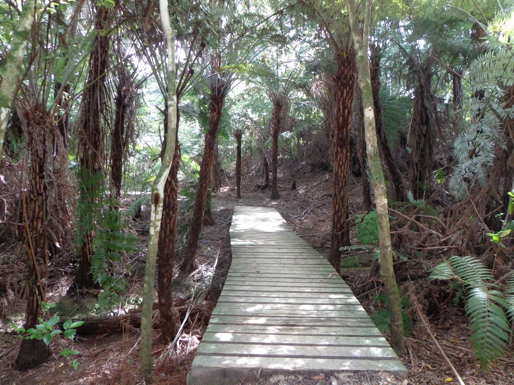
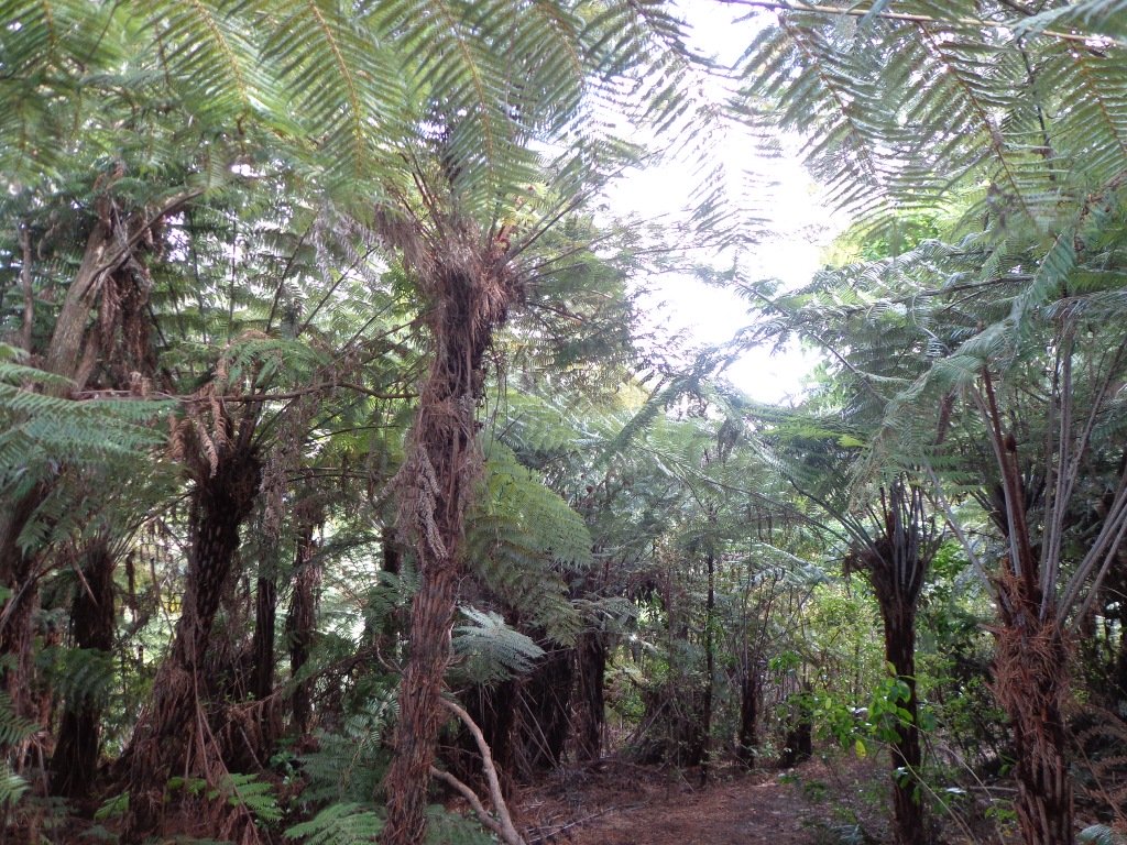
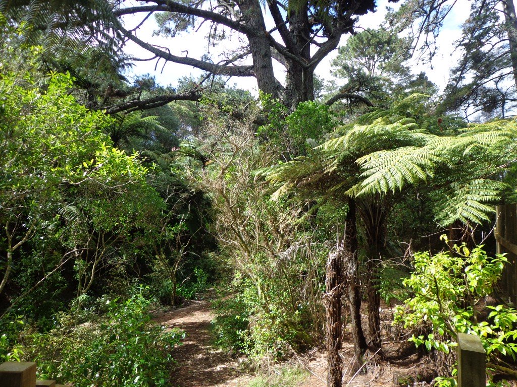
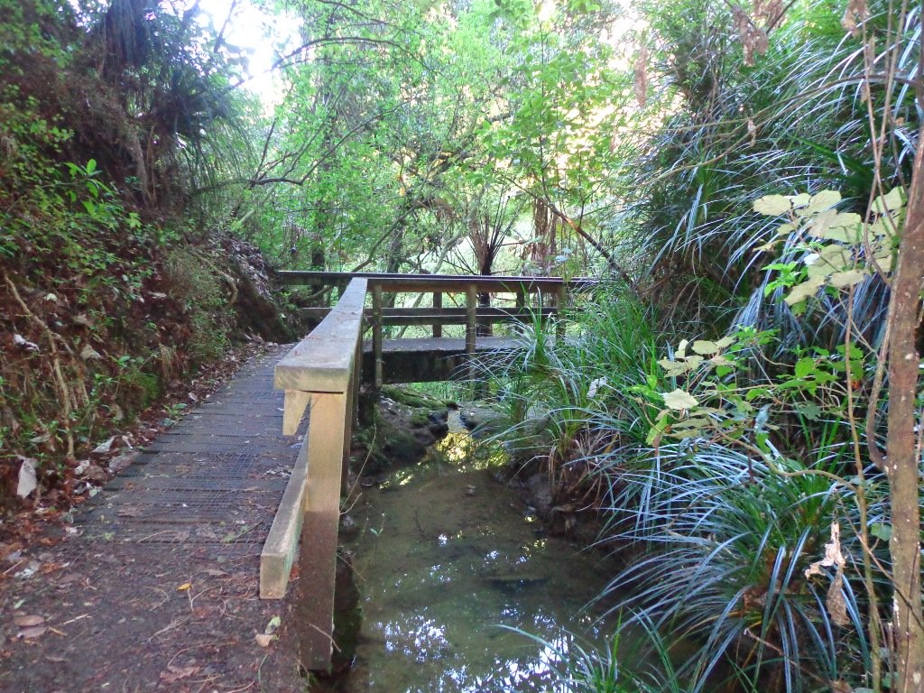
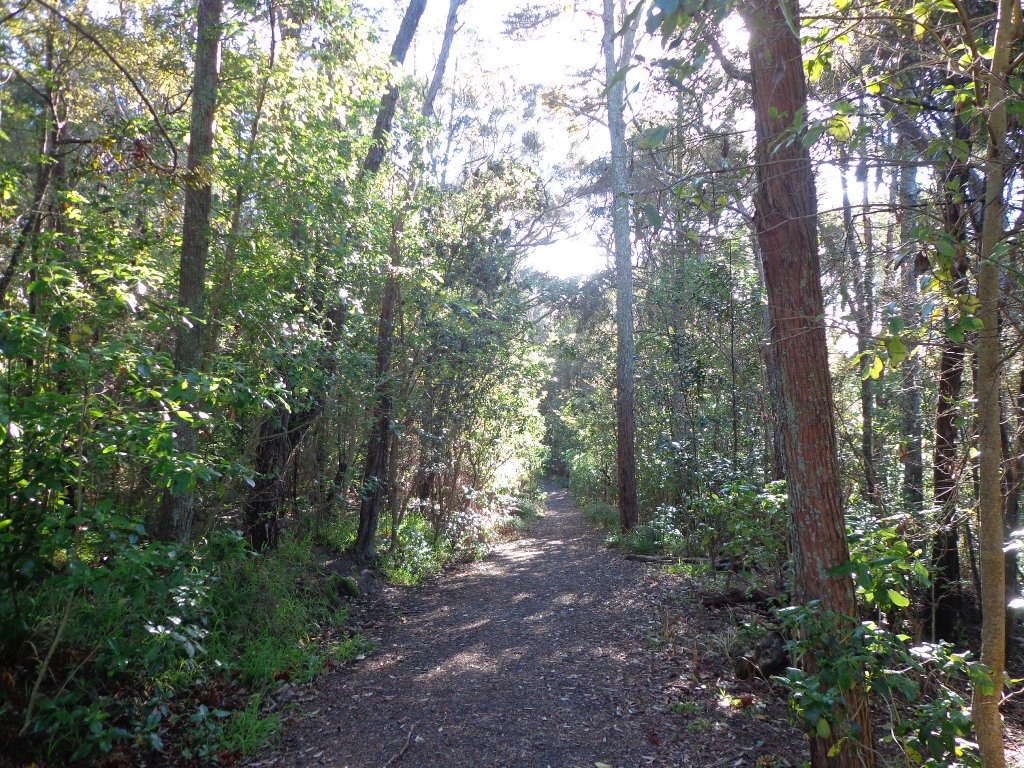
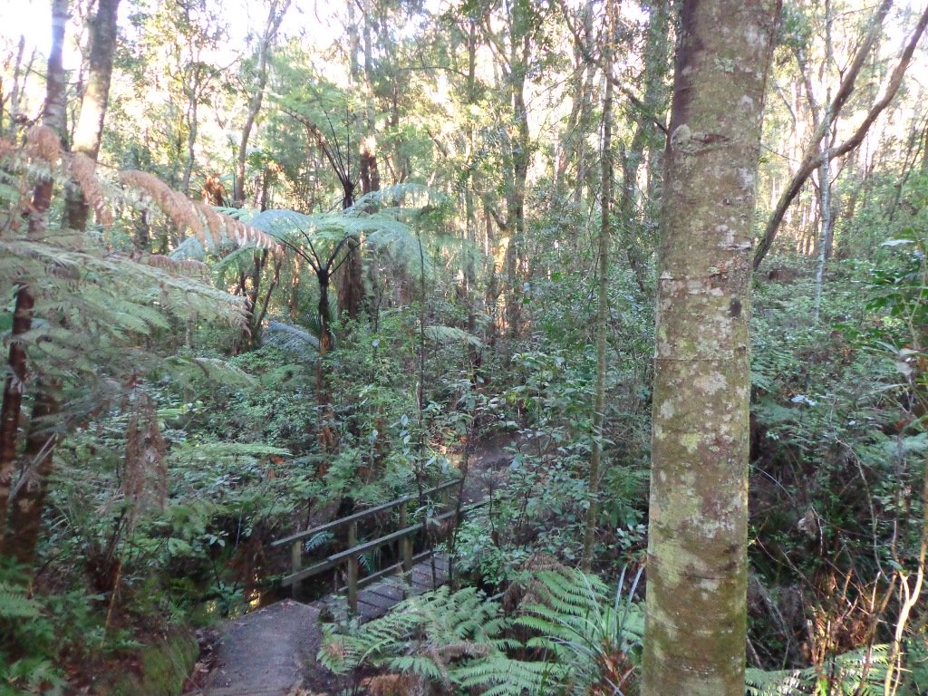
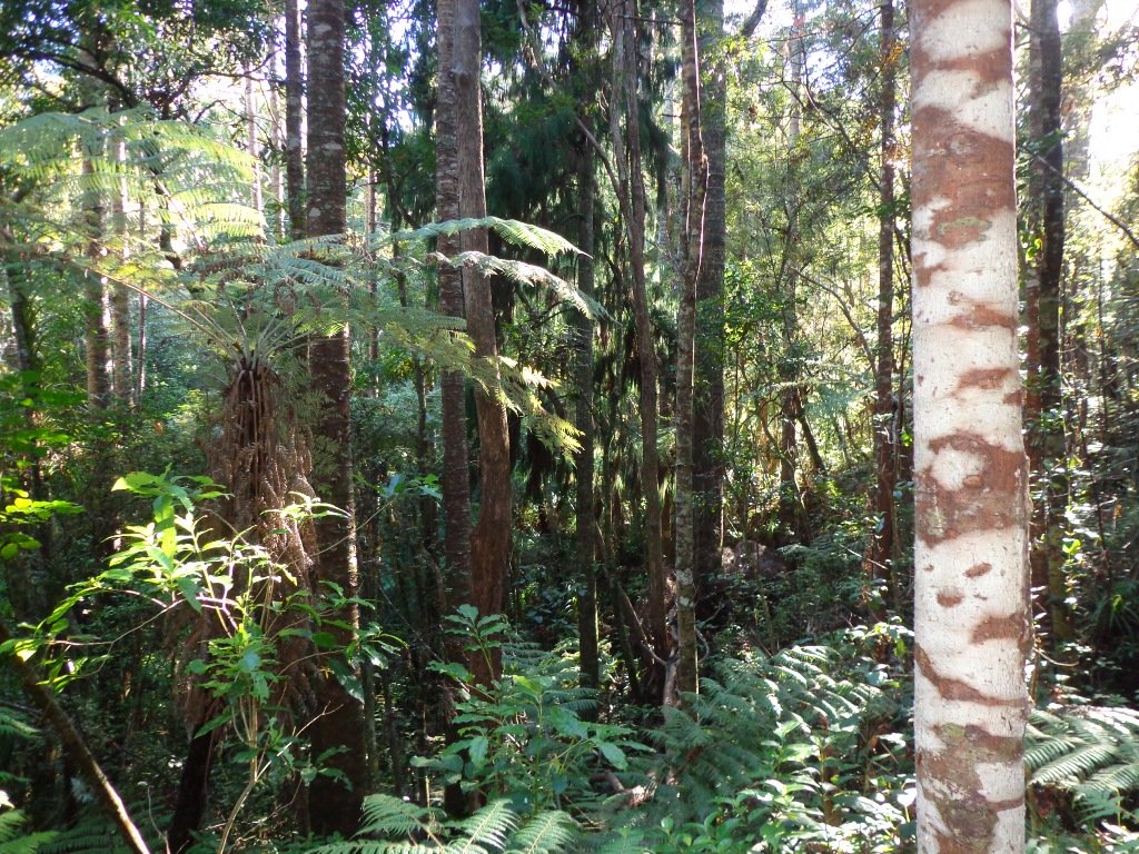
Saying that you are going for a walk in the bush in urban Auckland, may sound like an oxymoron…however, that is one of the many wonderful aspects of walking in Auckland – you never have to go far to find native bush. Kauri Glen Reserve lives up to it’s name and Le Roys Bush follows a stream downhill to the restored wetlands of Little Shoal Bay, Northcote (which was once a tidal estuary filled with mangroves).
This morning the sun was out (as well as the tide!), which made it a very pleasant and warm winter’s day. Some of the smaller tracks are wet, muddy and slippery so if that doesn’t fit with you, then I suggest that you save them for a summer walk. The loop walk we have documented keeps you on the drier paths and boardwalks.
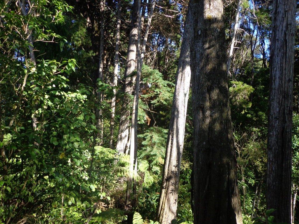
We were rewarded with sunlight filtering through the native trees, the sound of the bubbling stream and the songs of the native birds – we could have been deep in the bush instead of in the middle of urban residences!
Free Map for your smartphone – go to the new prototype site: Le Roys Bush Walks[22Nov2015]
Kauri Glen is one of the oldest bush reserves on the Shore (measures about 25 acres and first sizeable pieces of land that was placed under public management) which includes trees such as taraire, totara, kauri, tawa, rewarewa and maire. Kiekie and nikau are abundant in this sub-tropical rainforest. Smaller species of note are pate and karapapa. The area is alive with the likes of tui, fantails and moreporks.
Little Shoal Bay Reserve is a great place to start and finish at – with plenty of parking and a fun looking children’s playground. Dogs must be kept on leash to protect the flora and fauna.
Alternatively you could begin your walk at Birkenhead. A new track has been constructed (September 2016) from 31-45 Birkenhead Avenue. Called the Maori Pipi Walk.
You could pop into the Northcote Tavern for lunch, coffee or a beer afterwards – full of character and nice ambience. Or stop at Sausalito Cafe.
**************************************************************** Please protect our Kauri. Clean ALL dirt off your shoes and dogs feet BEFORE you arrive. Spray feet on entering and leaving. Dogs on leash at all times. Keep to the tracks. Enjoy your walk. Join Le Roys Bush on Facebook.
***Please note: September 2018 This track has been temporarily closed due to Kauri Dieback **************************************************************** Description: Bush track and board walks. Slippery when wet. Suitable for users of average fitness and mobility. To see: Native bush, waterfall, wetlands, views across Auckland Harbour, native birds. Time: approx. 60 minutes. (about 5.0 kms) Parking: Little Shoal Bay Reserve Buses/Ferries: Queen Street, Onewa Road, Northcote MAP
Stay on track…get your detailed guide and map (AN-079 Le Roys Bush Loop) over at our Walks Store and our Book Store (one of 12 walks featured in our books “Urban Bush” and “Dog Friendly Walks part 2”).
This walk in New Lynn (West Auckland) explores either side of the town centre and takes in Olympic Park and it’s popular children’s playgrounds, and the wetlands of Manawa. The Park and the Wetlands has a community of ducks and pukekos.
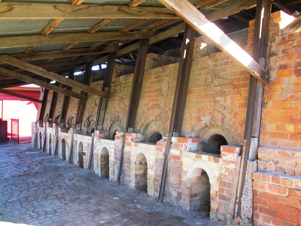
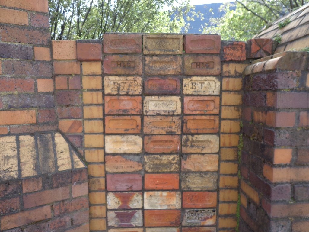
According to the TimeSpanner: “The Manawa Wetland Reserve has been redeveloped from a dump for Crown Lynn rejects, before the clay was scoured out for bricks and pots and other thing, and it was the site of the poudrette factory, and before that, it was New Lynn’s Waterfalls Estate in the 1860s.”
To research the clay and brick history of New Lynn, get lost in Papers Past.
Taking the train to New Lynn could be the start of a day’s outing. Do this walk along this side of the Whau River in the morning, have lunch in New Lynn, visit the Mall and then do the Avondale Whau River walk on the other side of New Lynn.
Description: Mix of flat and undulating paths. Suitable for users of average fitness and mobility. To see: Olympic Park, Manawa Reserve Wetlands, Gardner Reserve, Ambrico Kiln, Whau River Time: approx. 60 minutes. (about 5.25 kms) Children’s Playgrounds: Olympic Park Start: Olympic Park (off Wolverton Street) Buses/Trains: New Lynn Train Station (MAP)
Stay on track…get your detailed guide and map (AW-076 New Lynn Reserves) over at our Walks Store and our Book Store (one of 12 walks featured in our book “Best of the West“).
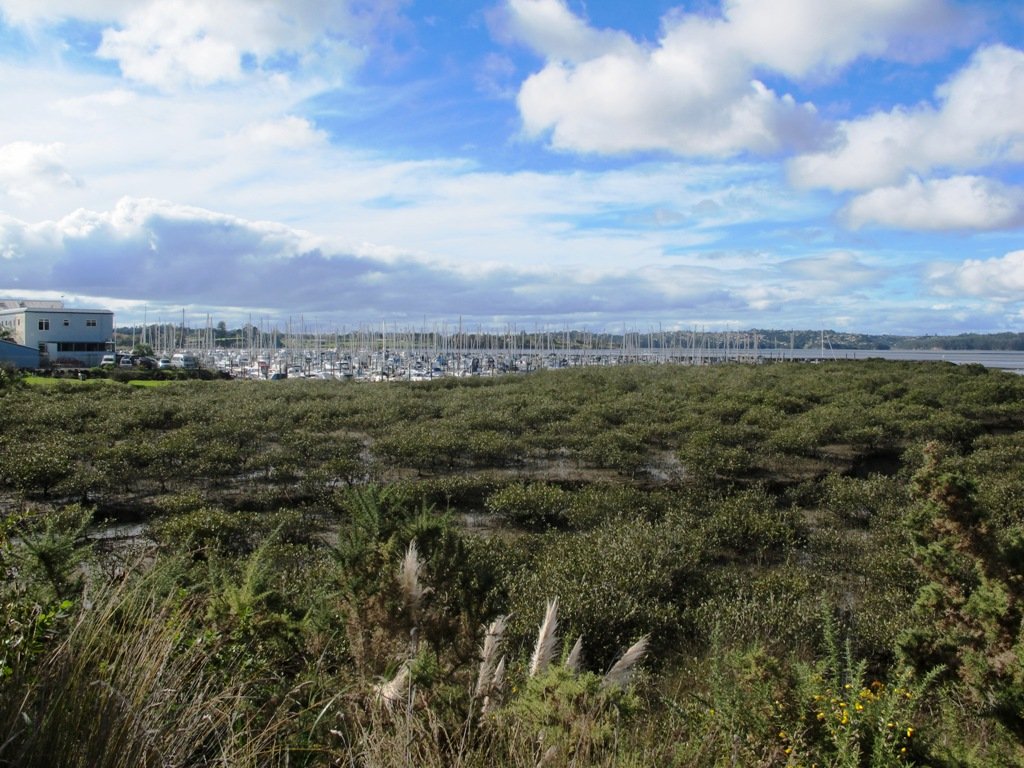
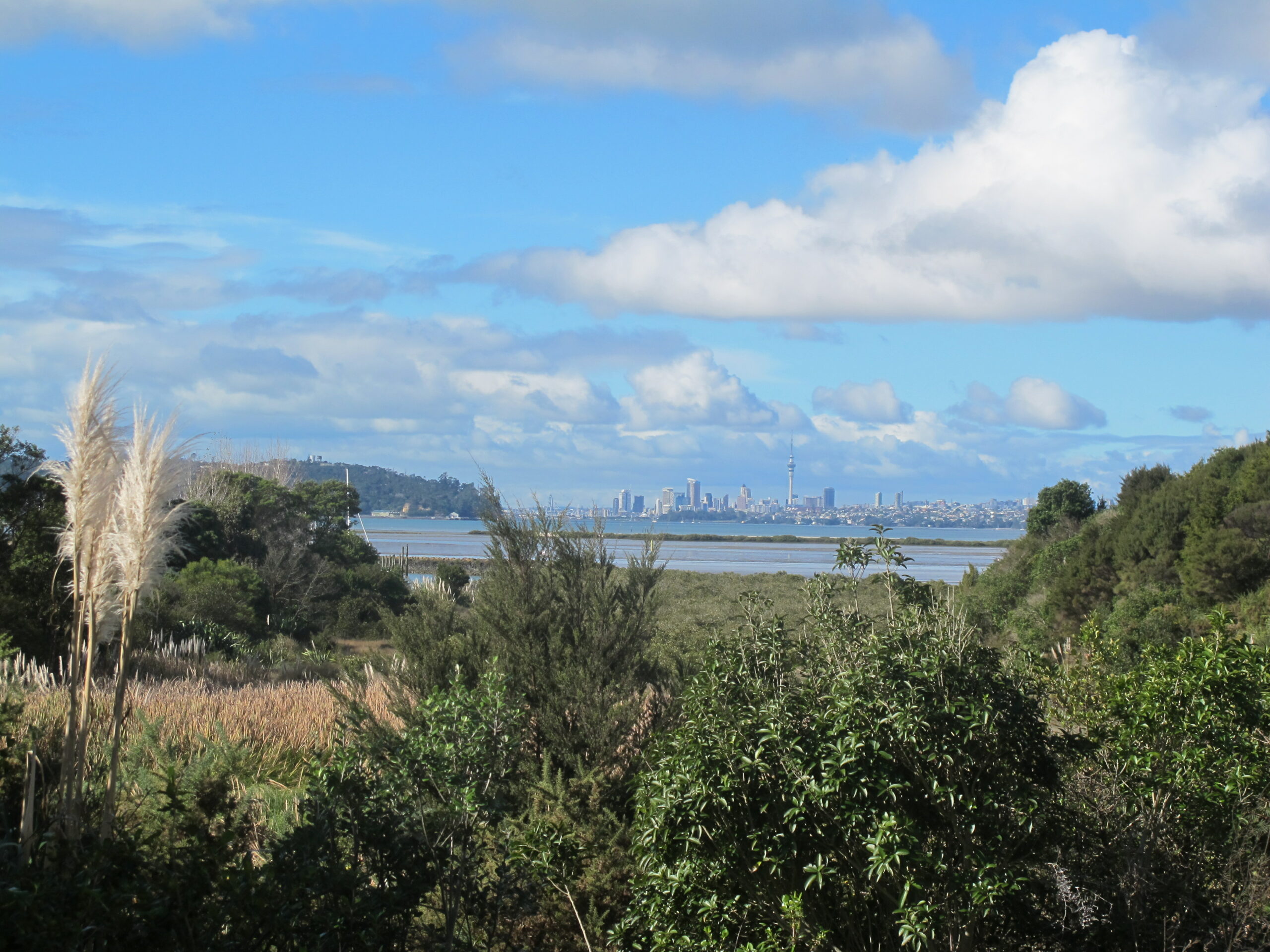
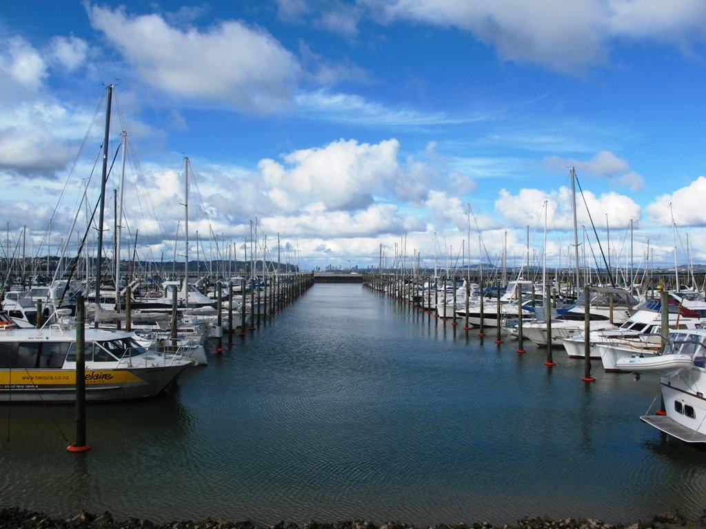
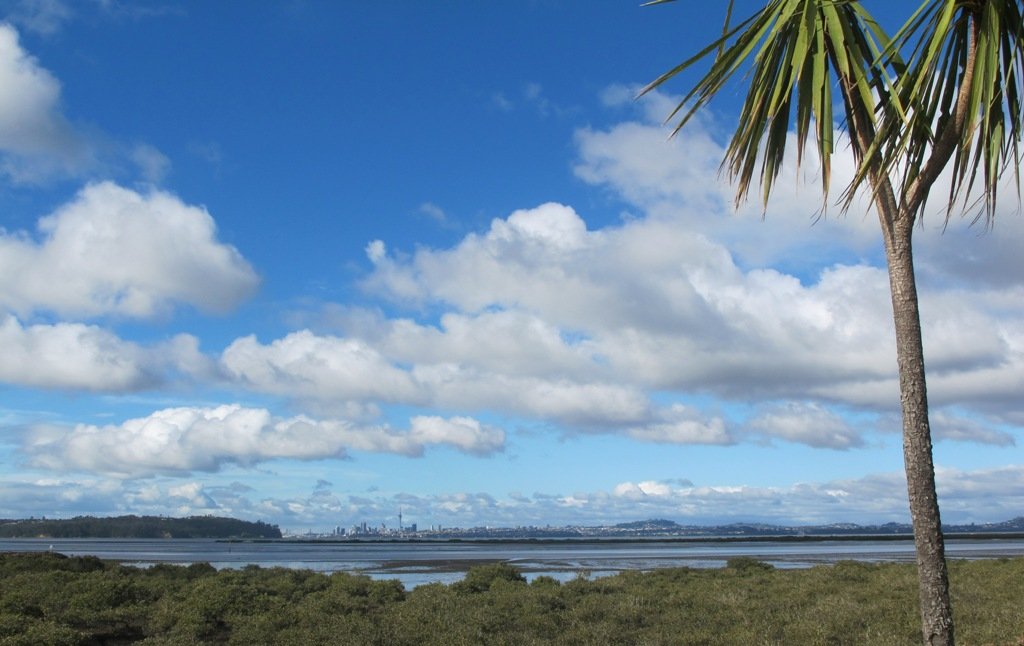
West Harbour is tucked in between Hobsonville Point and Moire Park. The walk circuit is short and does provide a couple of viewing points east to the city skyline. Start at the Waipareira Walkway at the West Harbour Marina and enjoy a coastal walk meandering in and around many little inlets, passing by wetlands and through native bush. If you are lucky, you may catch glimpses of bush birds like fantails and tui. There’s a nice picnic spot and children’s playground at Luckens Reserve (the swimming beach is below the reserve).
The tide soaked mangrove forest, provides a buffer between land and sea and is a nursery for fish and a safe haven for the many seabirds that nest there.
It is interesting to see the change in residential housing from mansions to more modest accommodation.
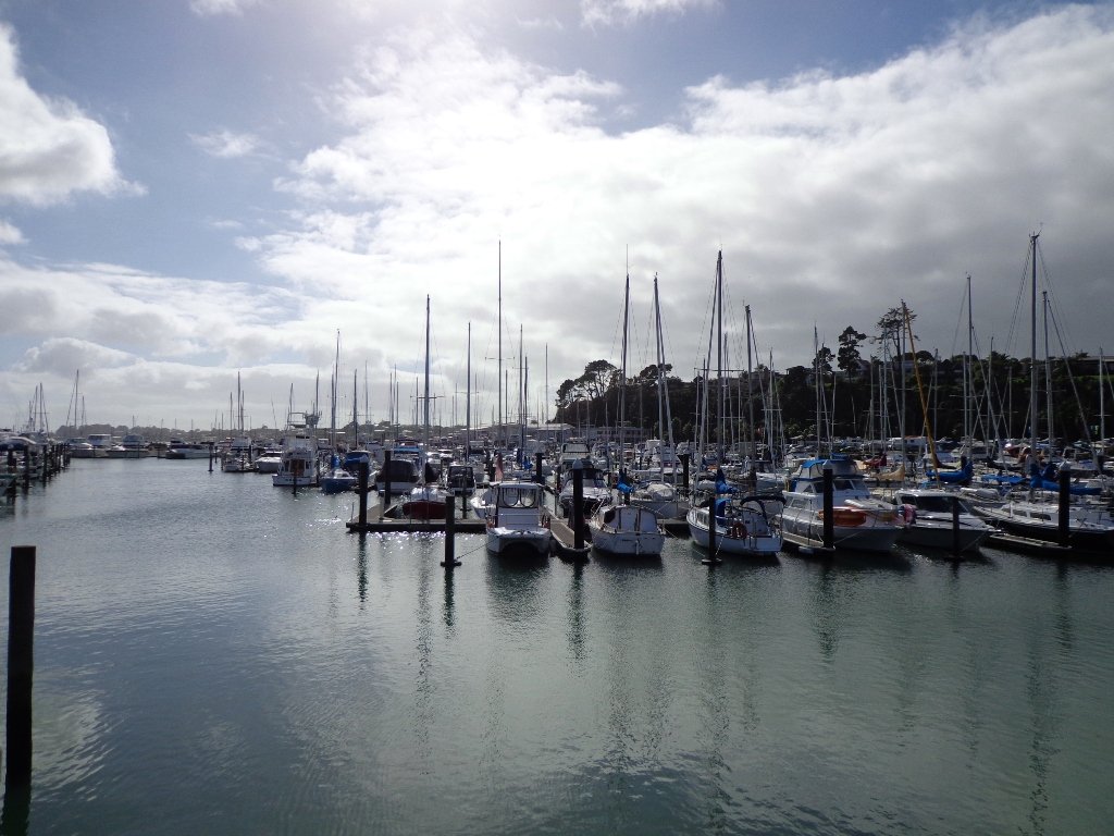
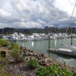
Visitors to Auckland may wish to catch a ferry to West Harbour, do the walk and then stay for lunch at either the cafe or restaurant, before returning to downtown Auckland. At Clearwater Cove you have the option to extend your walk by visiting the West Park Marina to watch the boats come and go.
Dogs – off leash exercise areas within the reserves.
Description: Mainly level paths. Suitable for users of average fitness and mobility. To see: Clearwater Cove marina, views of Auckland City, Mangrove, native brids Time: approx. 90 minutes. (about 5.75 kms) Start: Clearwater Cove Marina, West Harbour MAP
Stay on track…get your detailed guide and map (AW-074 West Harbour Circuit) over at our Walks Store and our Book Store (one of 12 walks featured in our books “Coastal part 2” and “Best of the West“).
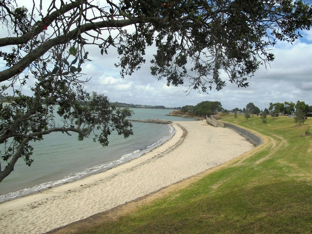
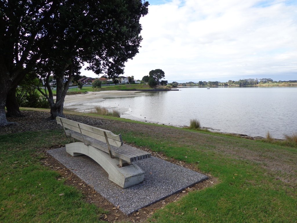
Half Moon Bay was bathed in sunshine this morning – very welcome after a week of rain. The walk west follows the cliff tops with fantastic views of Point England Reserve, Tahuna Torea, Rangitoto and Mount Wellington.
It’s been a while since we had visited Half Moon Bay; the last time there was a lot of building work going on.
We were prompted by Brett to return – this is his suggestion “A great one to commute to by ferry, go for a walk & check out the cafes, restaurants & bar at Half Moon Bay Marina, even a supermarket now at the marina. Best kept secret, free push bikes available from Grangers Restaurant & Bar!” Thanks for the tip, Brett!
Description: Mainly level paths, some steps and steep slopes. Suitable for users of average fitness and mobility. To see:Views of Tamaki Estuary, Point England Reserve, Tahuna Torea, Rangitoto, Mt Wellington. Wetlands, Pukeko birds habitat. Time:approx. 60 minutes. (about 4.7 kms) Start from: Half Moon Bay Marina off Ara-Tai Road MAP
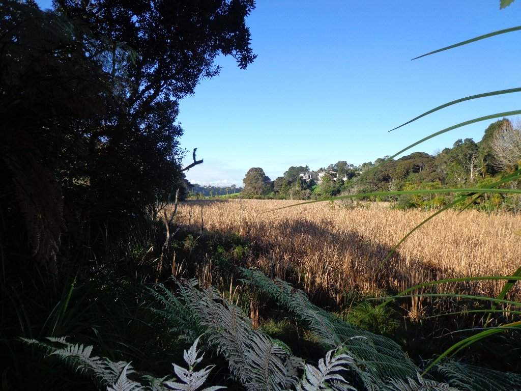
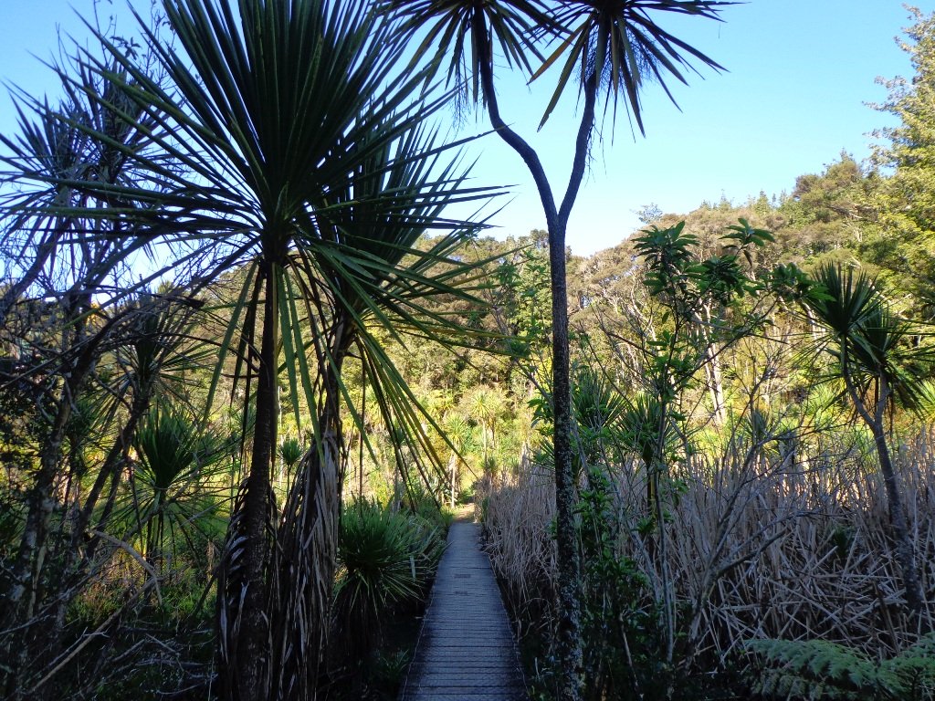
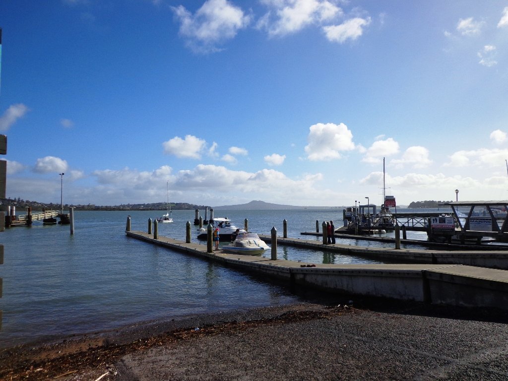
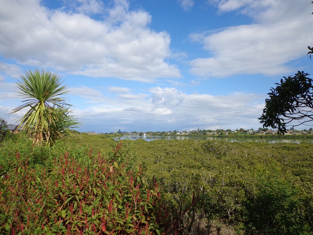
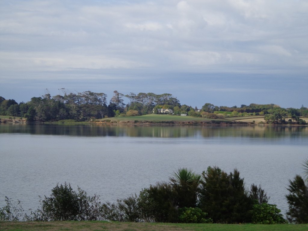
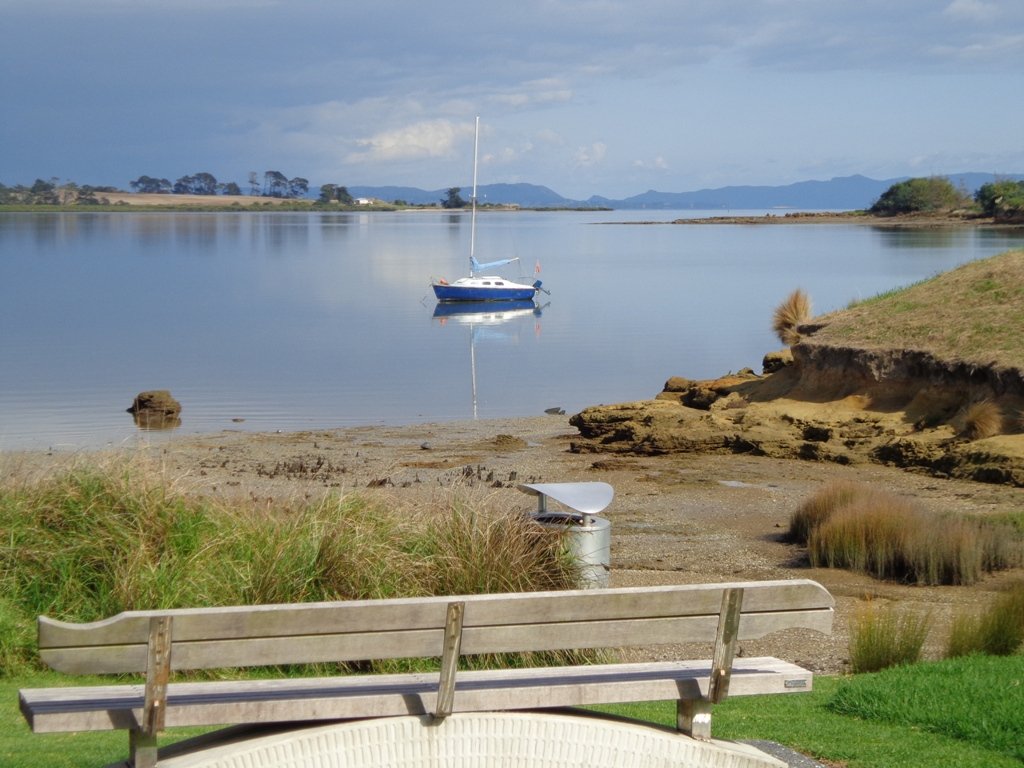
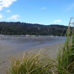
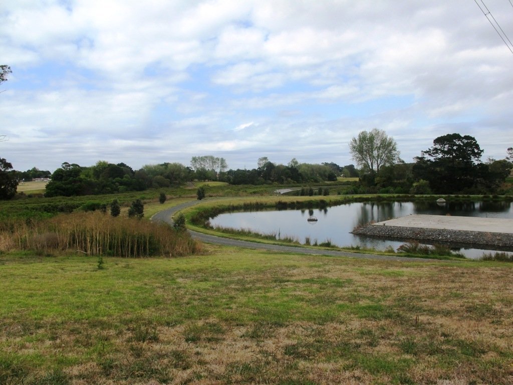
Wattle Downs in South Auckland was another new area for us to explore. The Wattle DownsWalkway goes around the edge of the peninsula that extends into Manukau Harbour, at one spot there are views through to Manukau Heads. The day was very calm – the water was like a mirror, and there were also threatening grey clouds hanging overhead. The walking route is also great for cyclists, prams/buggies and dog walkers (on leash and off leash dog exercise areas).
There are many points of interest along the way, and friendly people to say hello to. We stopped and spoke to a resident whose house looked out towards Manukau Heads – he told us that they get to view amazing sunsets over the harbour.
There are wetlands and ponds active with shore birds – if you are a keen bird watcher be sure to take your binoculars.
The only thing missing in the area is a cafe.
UPDATE March 2015 ** The shared walkway/cycleway has been extended from Hadley Wood Drive to Aberdeen Crescent.
Suitable for Family cycling: Frangipani Ave to Bluewater place, 10km each way.
Description: Mainly level paths, one set of steps (which can be avoided). Suitable for users of average fitness and mobility. Suitable for cyclists. To see: Manukau Heads, Manukau Harbour, Wattle Farm Wetland Reserve, shore birds Time: approx. 100 minutes (about 8.7 kms). Dog off-leash areas. Childrens playgrounds. No cafe. Public Toilets may not be open due to vandalism issues (see image below). Start from: Wattle Farm Reserve MAP
Stay on track…get your detailed guide and map (AS-067 Wattle Downs Loop) over at our Walks Store and our Book Store (one of 12 walks featured in our books “Coastal part 1”, “Dog Friendly Walks part 1” and “Best of the South”).
The Coromandel and Bay of Plenty area has many fine documented walks, and brochures are available from various information sites including Katikati, Waihi and Whangamata.
Easter 2013 our small group did three walks:
Wentworth Falls (near Whangamata) follows the stream to the lookout and top of the Falls. It is a steady climb through native bush. Well worth the effort.
Read more: Wentworth Valley Walk
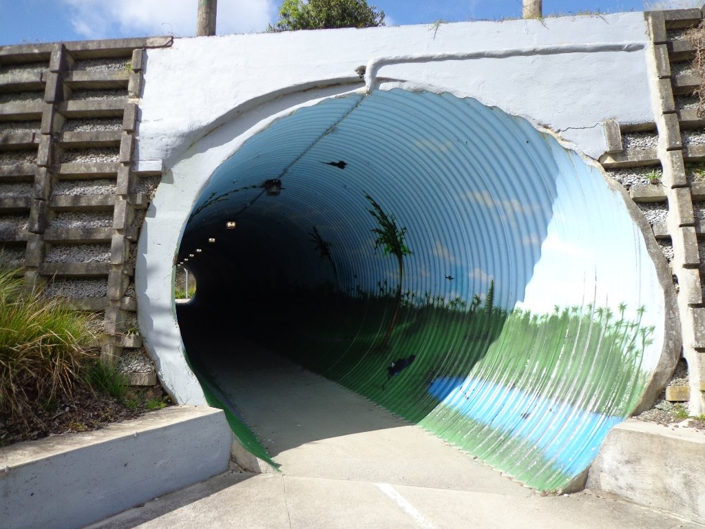
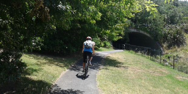
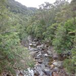
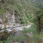
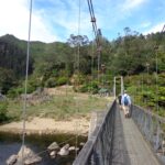
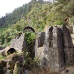
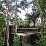
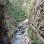
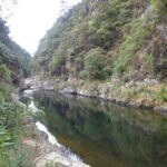
Karangahake Gorge (between Paeroa and Waihi) is an interesting place to explore. There are the remains of the historic gold mining industrial town amidst the native bush. There are many walking track options and there is now a new cycleway. Be sure to take a strong torch to explore the tunnels.
Read more: Karangahake Gorge Historic Walkway
The Bird Walk: Uretara Estuary & Yeoman Walkway at Katikati, follows the estuary out to the Bay. It is a flat walk and if you a keen birdwatcher, take along your binoculars and you will have the opportunity to observe shore birds in the estuary and the wetlands. The walk continues past the wetlands along the front of residential homes.
Learn more: Bird Walk: the Uretara Estuary & Yeoman Walkway
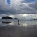
Easter 2014: This time we did a loop walk around Whangamata taking in the estuary, the river, the marina and the famous surf beach.
If you have been out to Highbrook Business Park in South Auckland, you may have noticed a walkway along the waters edge to the north. This has intrigued my friend and I for some time, so today we set out to explore and work out a way to include it an interesting circular walk.
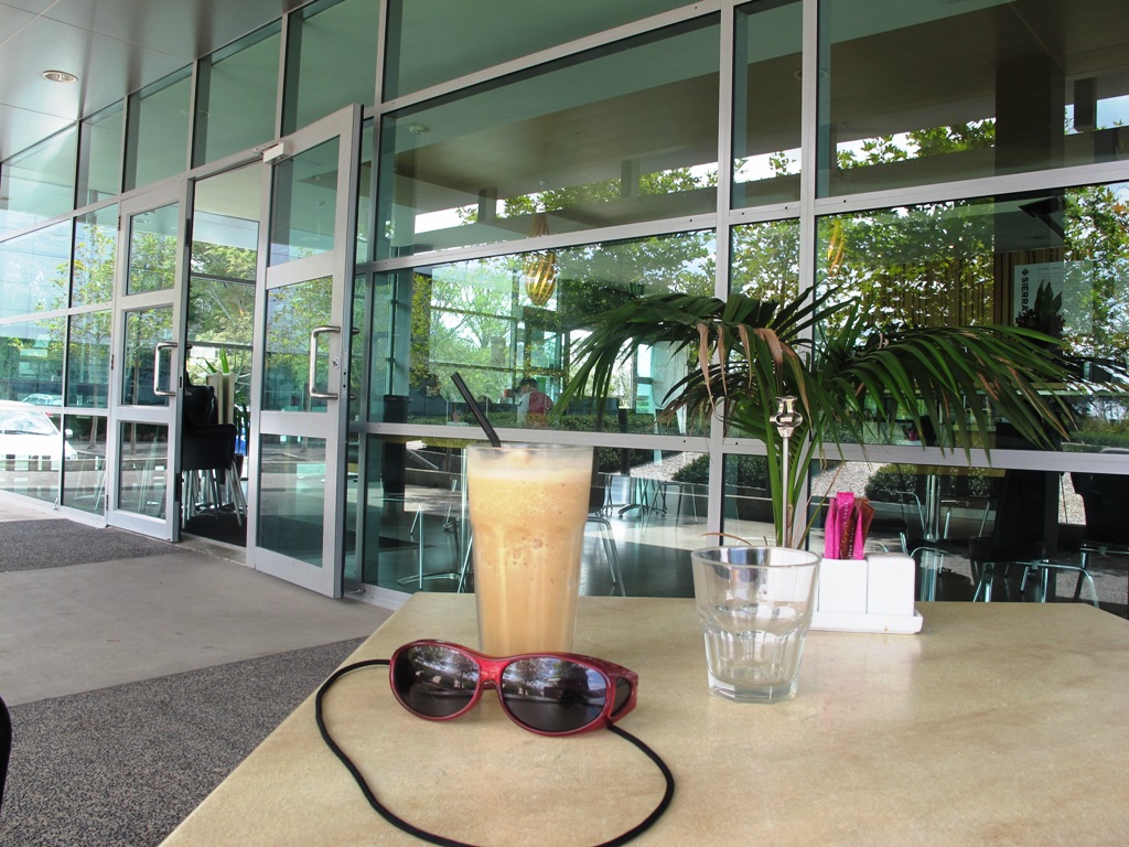
Mission accomplished and rewarded with a delicious iced coffee at Highbrook Park’s Sierra Cafe! **Update December 2014** There is now a further selection of cafes and eateries at The Crossing (we had coffee at The Light Horse).
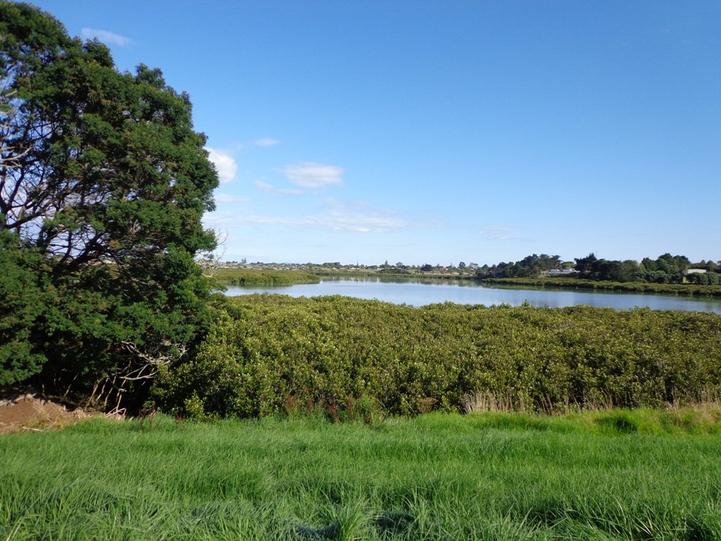
According to “Volcanoes of Auckland, the Essential Guide” Highbrook was developed as a racehorse stud farm before it was converted to a business park. The explosion crater’s proper name is Pukewairiki which means “the hill with the associated small lagoon”. The crater floor is now salt marsh and mangrove forest.
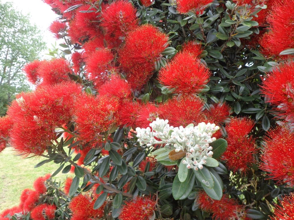
The pathway along Highbrook Park is safe for family cycling. This walk does not include a playground and would be suited for older children. Look out for the pohutukawa blossoms early summer. There is an off-leash dog exercise area on the Otara Creek (south) side of this walk.
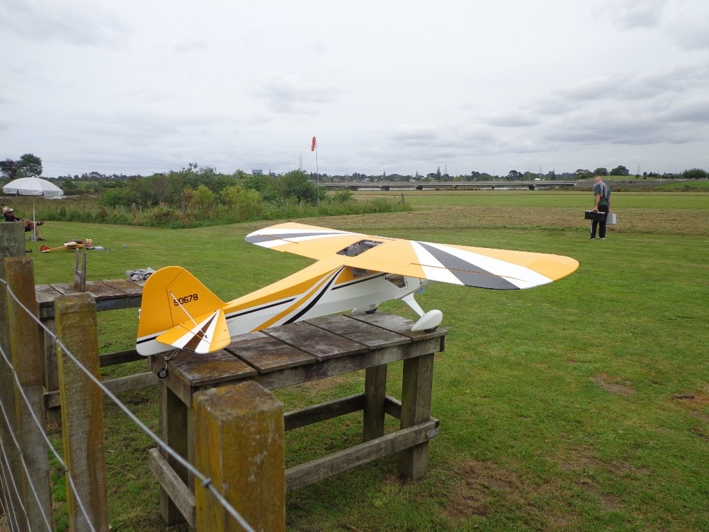
Description: A mix of level and slightly hilly paths. Suitable for users of average fitness and mobility. Suitable for mountain bikes. To see: Pukekiwiriki Crater, wetlands, views of Tamaki Estuary, Otara Creek, Pakuranga Creek, Mount Wellington and other volcanoes, Highbrook Model Airpark. Time: approx. 75 minutes. (about 5.8 kms) Start: Business Parade North, Highbrook MAP
Stay on track…get your detailed guide and map (AS-063 Highbrook Park Loop) over at our Walks Store and our Book Store (one of 12 walks featured in our books “Dog Friendly Walks part 1” and “Best of the South”).
This walk around the base of the Mount Wellington volcanoe explores the Stonefields residential development, the Maungarei Springs Wetland and the businesses along Lunn Avenue. You may wish to extend the walk by heading up to the summit of Mount Wellington for views over Auckland, or explore the streets and houses of Stonefields.
The volcanic site of Mount Wellington was formed 9000 years ago. It was used as a village by the Maori with evidence dating back 600 years ago. Winstones Limited began quarrying stone here back in 1936—and much of the stone was used for building Auckland. In 2001 the site was sold and is still in development as a large residential area.
Description: A mix of level and slightly hilly paths. Suitable for users of average fitness and mobility. To see: Mount Wellington, Maungarei Springs Wetlands, re-used stone quarry (Stonefields) Time: approx. 45 minutes. (about 4.0 kms) Start: Mitre 10, Lunn Avenue MAP
Stage Four of the University of Aucklandshort walks project, with five walking circuits starting and ending from the Tamaki campus in Morrin Road.
If you would like free copies of these PDF brochures, please leave your request in the comment box below.
Stay on track…get other detailed guides with maps from our Walks Store
Point England Loop
This walk takes you through Glen Innes and Maybury Reserve (and its rows of feijoa trees) to the edge of Point England Reserve returning through a character-filled Glen Innes residential street.
Time: approx. 40 minutes. (about 3.75 kms)
Stonefields Loop
This walk winds through Stonefields to Maungarei Springs Wetlands.
Time: approx. 40 minutes. (about 3.6 kms)
Apirana Reserve Loop
This walk takes you off the suburban streets into the countryside and horse paddocks, with views from the top of the hill of Eastern Beach and the Coromandel on a clear day, and Mount Wellington close by.
Time: approx. 45 minutes. (about 4.2 kms)
Eastview Reserve Loop
Refresh and revive amongst the trees in Taniwha and Eastview (mature oak trees) Reserves.
Time: approx. 45 minutes. (about 4.0 kms)
The Goldsbury Track Loops
Take in a Reserve before winding through Stonefields to the Gollan Road Pedestrian Trail. Snatch views of Mt Wellington, Mt Eden, Mt St John, Mt Hobson, One Tree Hill and the top of the Sky Tower.
Time: approx. 45 minutes. (about 4.19 kms)
We are not familiar with the Tamaki and Glen Innes area, so today was our first walk and explore. And we discovered beautiful Point England Reserve. What a gem! We had no idea that there was a sandy beach here.
This walk offers great views of East Auckland and the Waitemata harbour and as the walkway passes through bush, mangroves and farmland. This route is a part of the 7.5km Point to Point Walkway.
The walking route is also great for prams/buggies and dog walkers (on leash only).
The lack of rainfall has made the Omaru River smelly, so we do hope that will improve when it next rains. Part of the path is in great need of maintenance. We wonder if the local schools could adopt part of the walkway and learn how to maintain and enhance the bush and stream??? (The Omaru River is an outlet of Orakei Basin and runs underneath Meadowbank to Apirana Ave, through Maybury Reserve and out to Wai O Taiki Bay). Update: a project was kicked off in June 2013. Read: Youth keen to save river
Description: Mostly level paths. Suitable for users of average fitness and mobility. (Take bread to feed the ducks) To see: Estuary views, boats, wetlands, mangroves, residential housing, view of two volcanoes – Mt Wellington and One Tree Hill, Point England Reserve, Maybury Reserve feijoa trees Time approx. 80 minutes. (about 7.0 kms) Start: Glen Innes Train Station (or Point England Road Reserve at end of Point England Road) MAP Nearby Walks: Tahuna Torea, Waiaturua Reserve
Stay on track…get your detailed guide and map over at our Walks Store (AE-059 Point England Walk) and our Book Store (one of 12 walks featured in our books “Coastal part 2” and “Best of the East”).
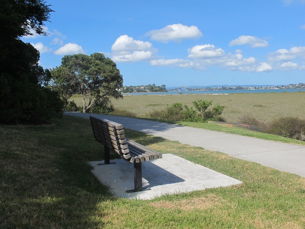
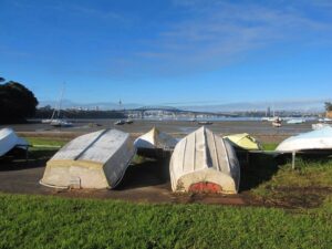
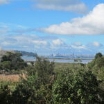
This Belmont Bay walk on Auckland’s North Shore, was chosen by my friend after she read an inspiring article about the founder of the Belmont cafe “Little & Friday“.
View of Auckland Harbour Bridge from Belmont
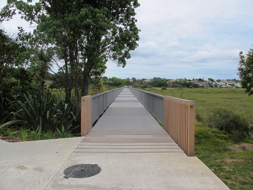
This was my first explore around the Belmont and Bayswater area and was delighted to find reserves, cycleways, playgrounds and views of the Harbour Bridge with the Waitakere Ranges as a back drop.
The walk itself takes under an hour, and is mostly flat. One of the highlights is crossing the Bayswater Bridge (the new cycle/pedestrian bridge completed September 2013 – officially opened 5th October 2013, made with recycled totara timber balustrades).
Dogs – On-leash but lots of opens spaces.
Description: A mix of level paths and slightly inclined paths. Suitable for users of average fitness and mobility. To see: Estuary views, wetlands, residential housing, Auckland Harbour Bridge
Stay on track…get your detailed guide and map (AN-058 Belmont Bay Walk) over at our Walks Store and our Book Store (one of 12 walks featured in our books “Coastal part 2” and “Dog Friendly part 1”).
Self guided short circular walks in Auckland for health, fitness and fun


 And if you like seeing the spring bulbs and blossoms, then you must visit
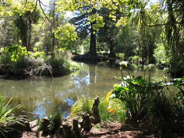


 Point England Loop
 Stonefields Loop
 Apirana Reserve Loop
 Eastview Reserve Loop
 The Goldsbury Track Loops