Tag Archives: Fitness

Glen Eden Bush and Stream walk

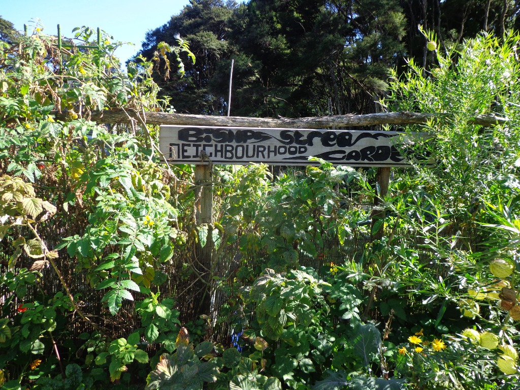
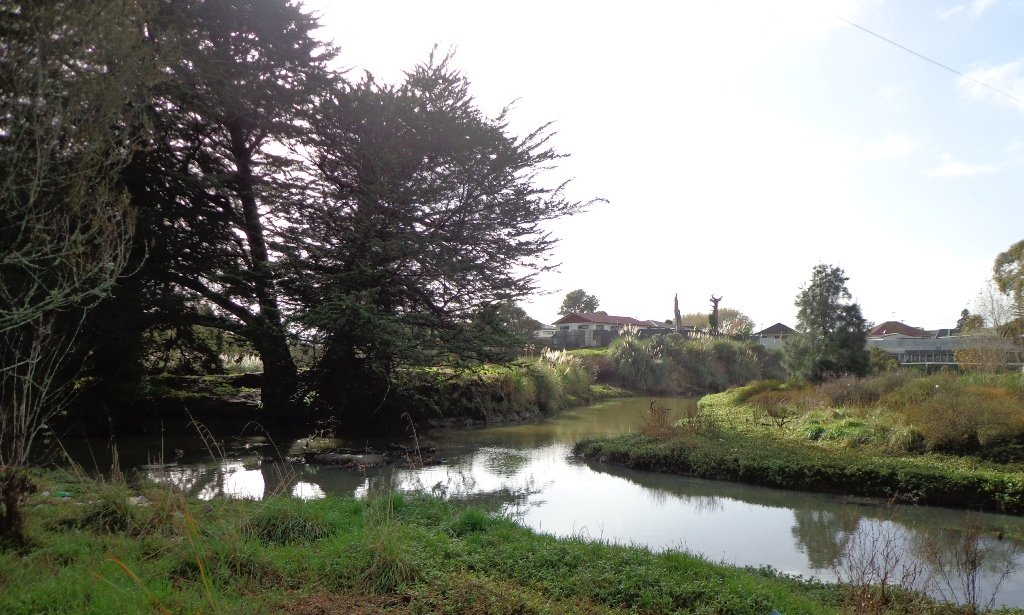
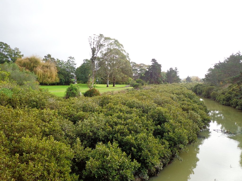
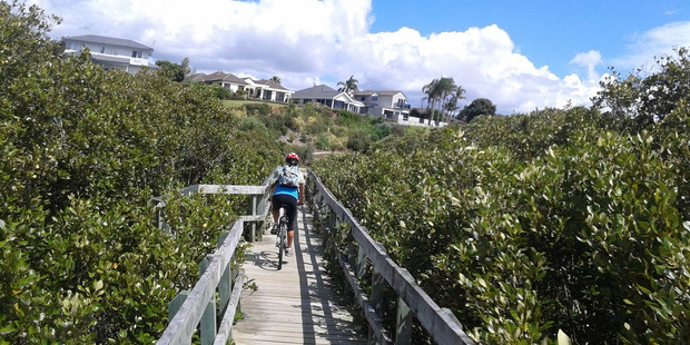
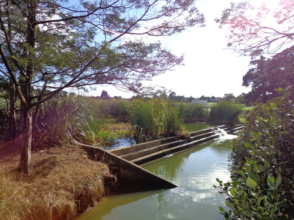
Glen Eden is undergoing stream restoration and cycleways development as part of the Twin Streams Project, so we set out for an exploratory walk to see what we could uncover.

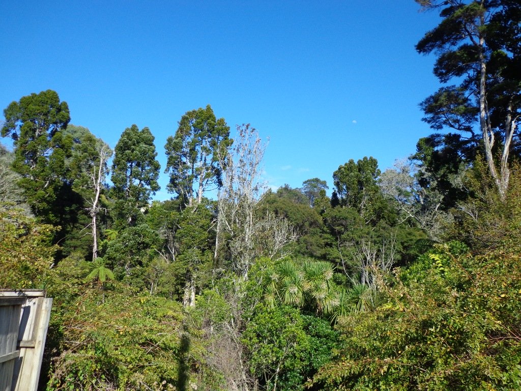
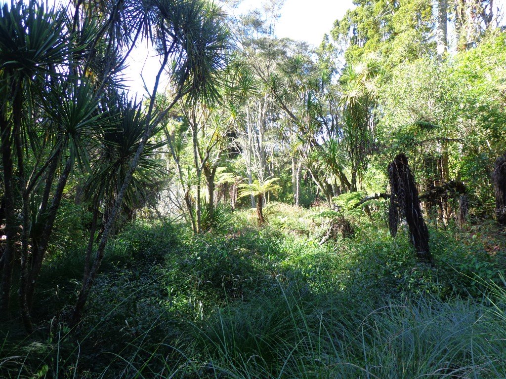
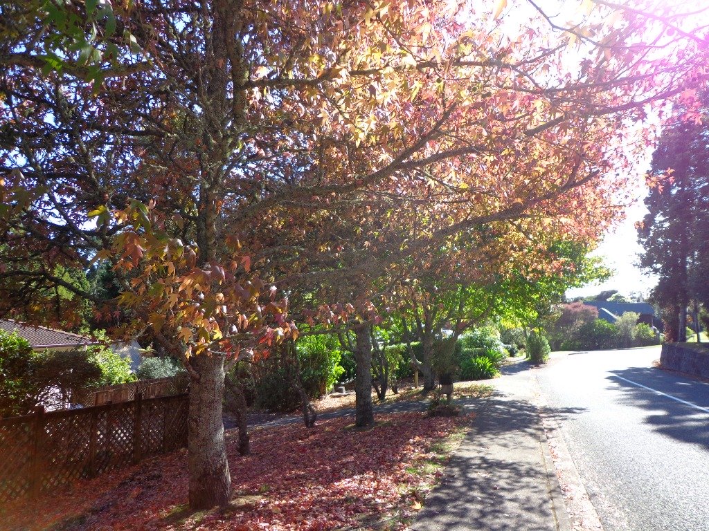
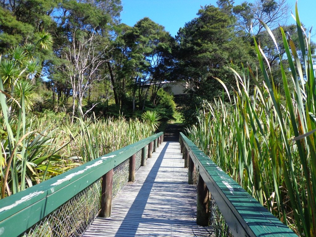
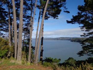
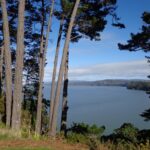
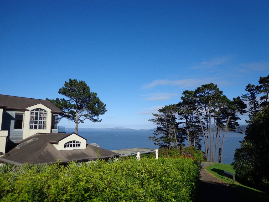
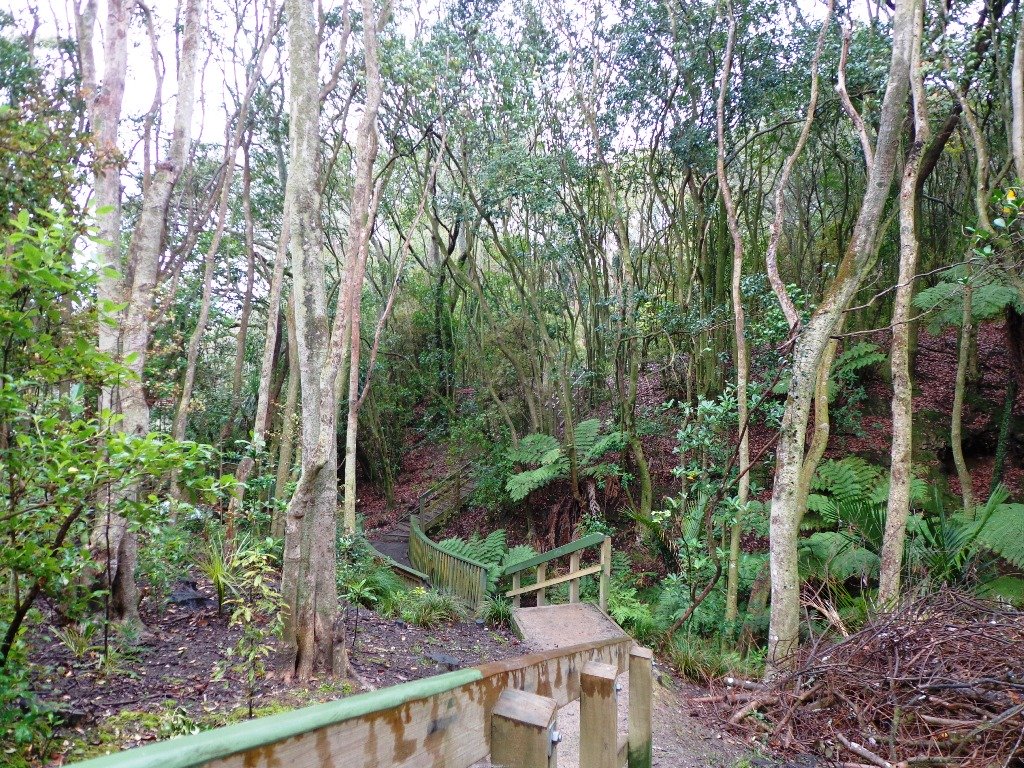
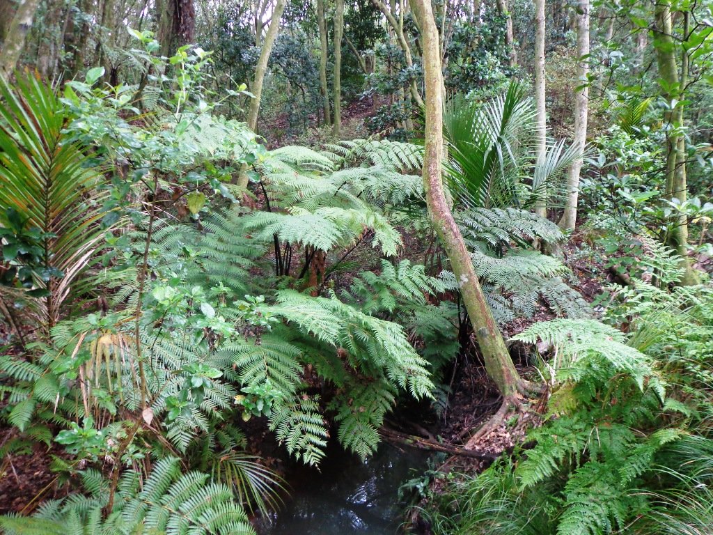
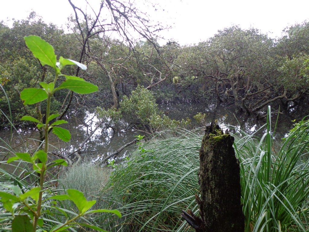
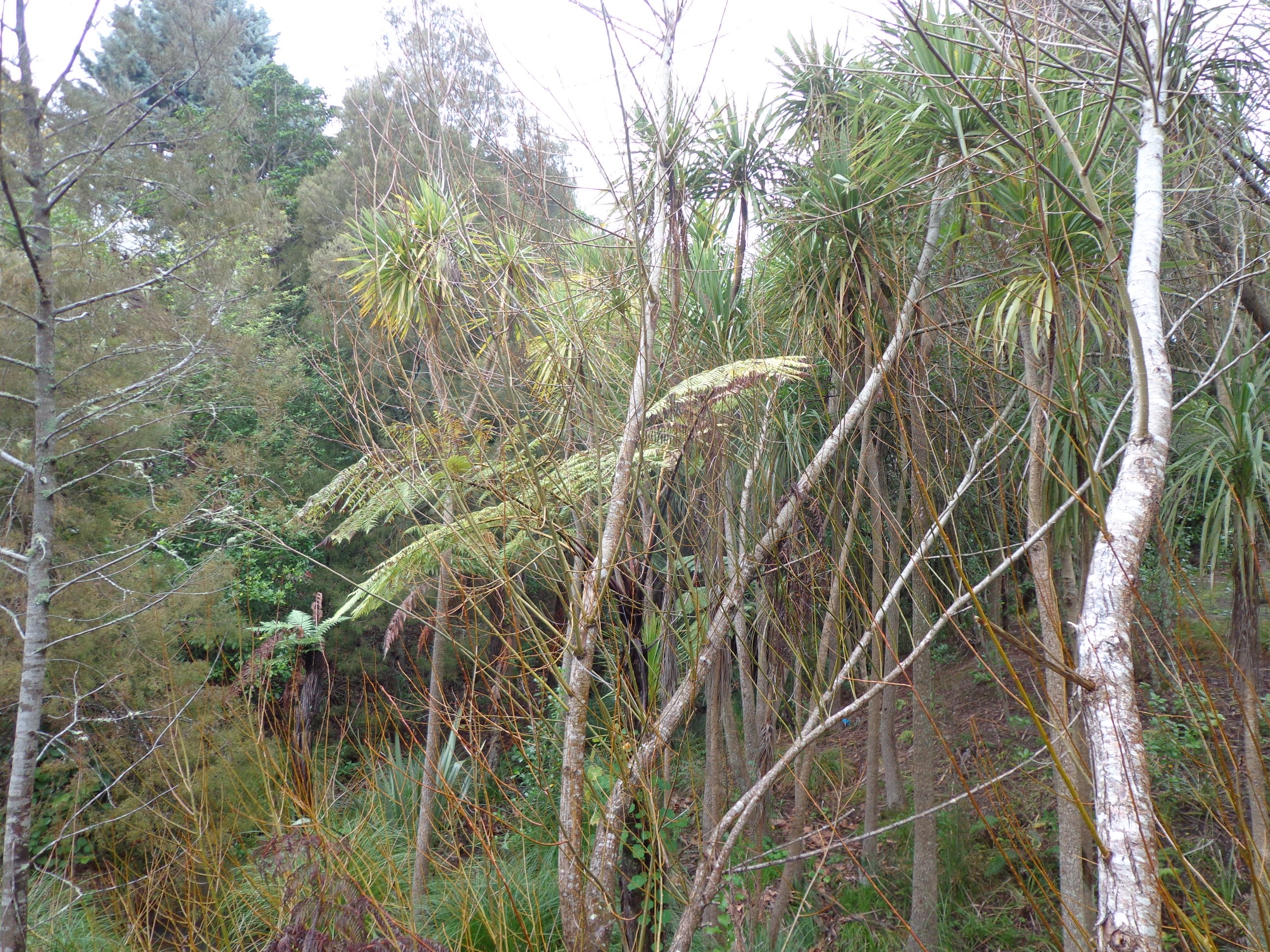
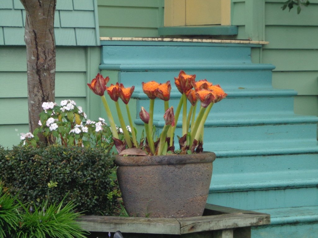
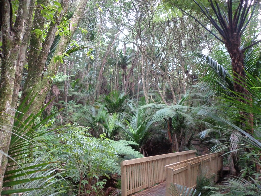
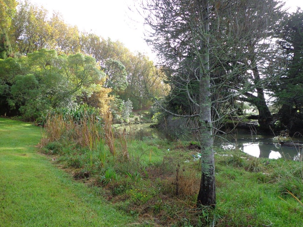
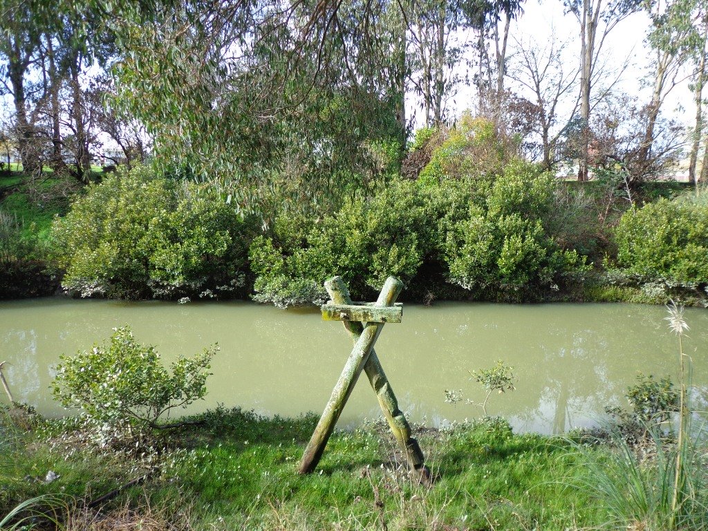
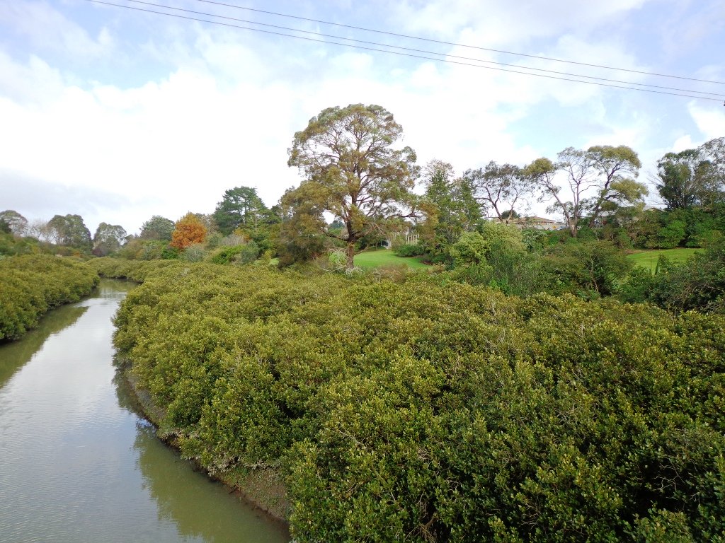
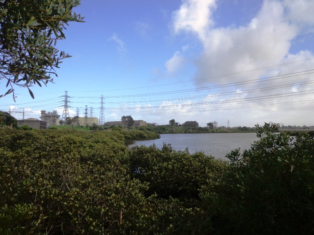
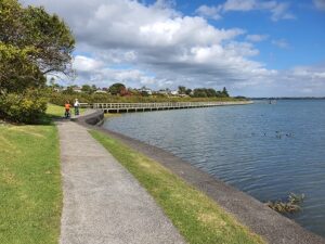
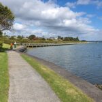
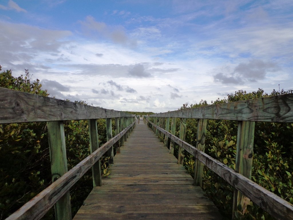
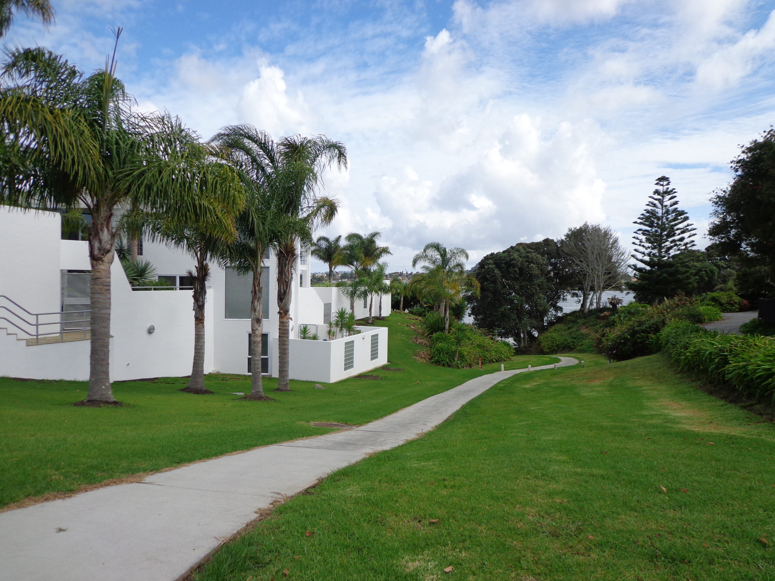
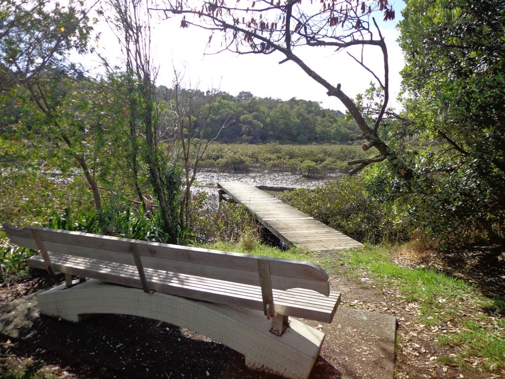
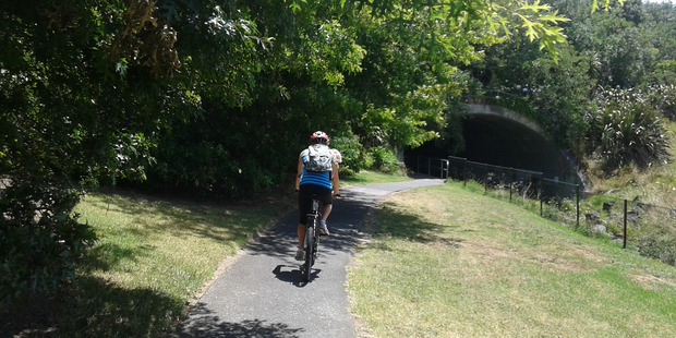
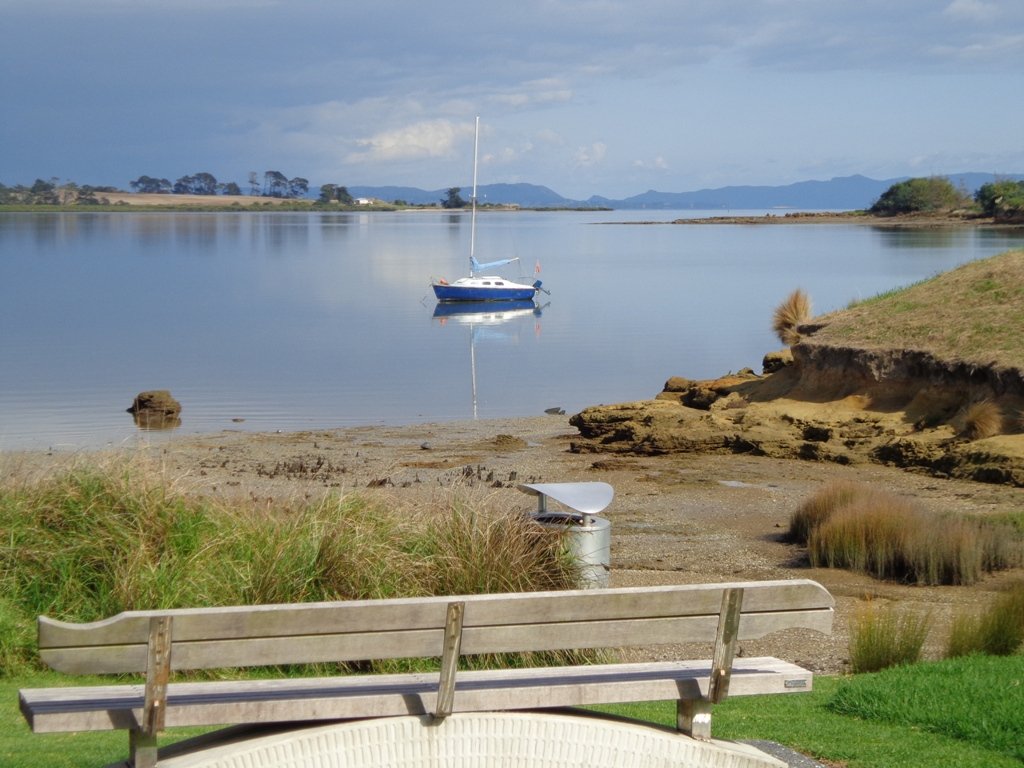
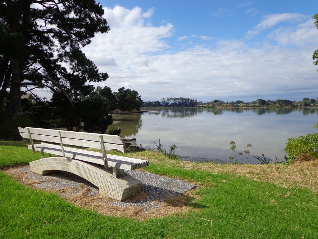
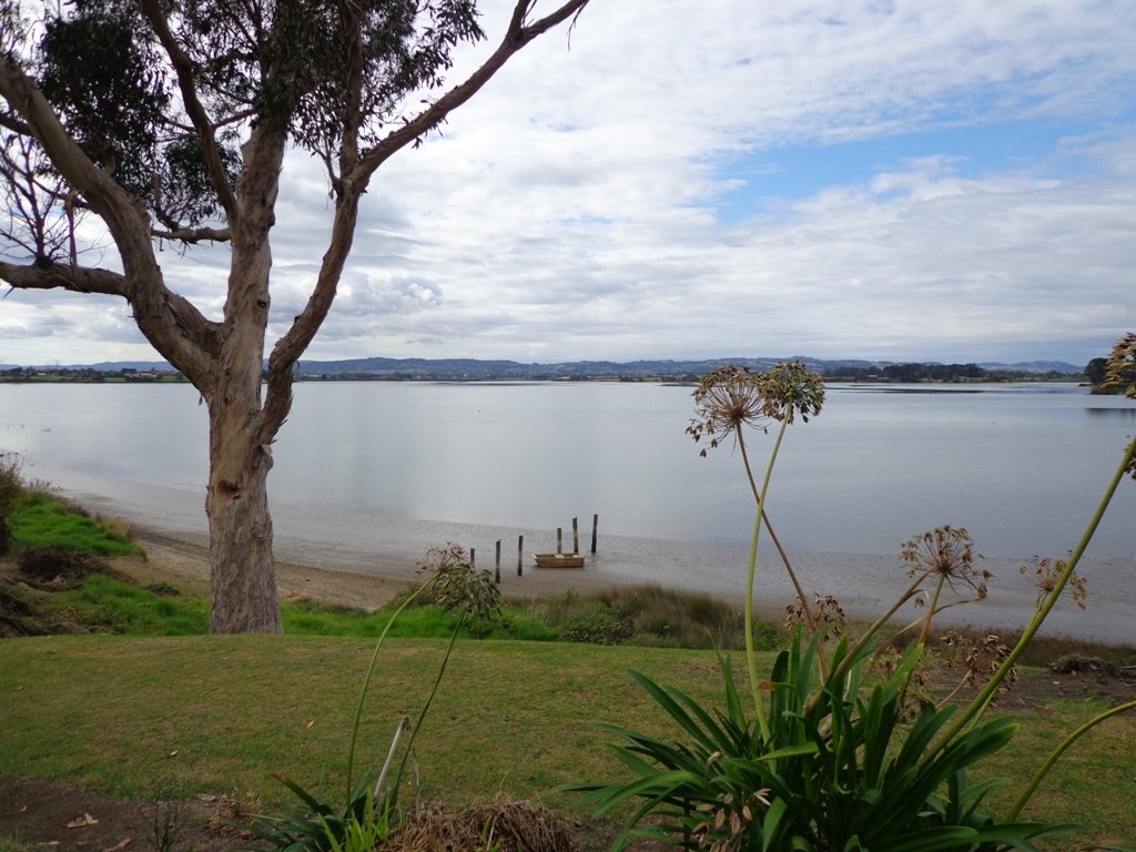
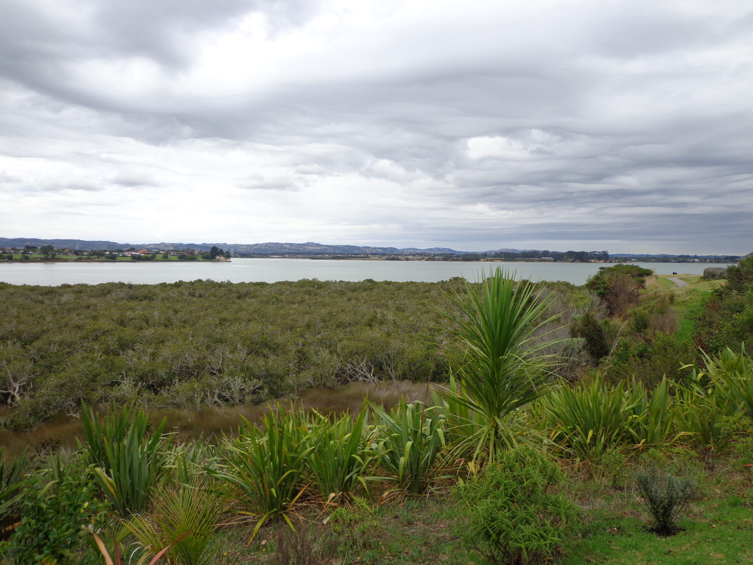
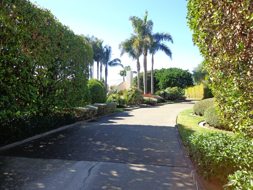
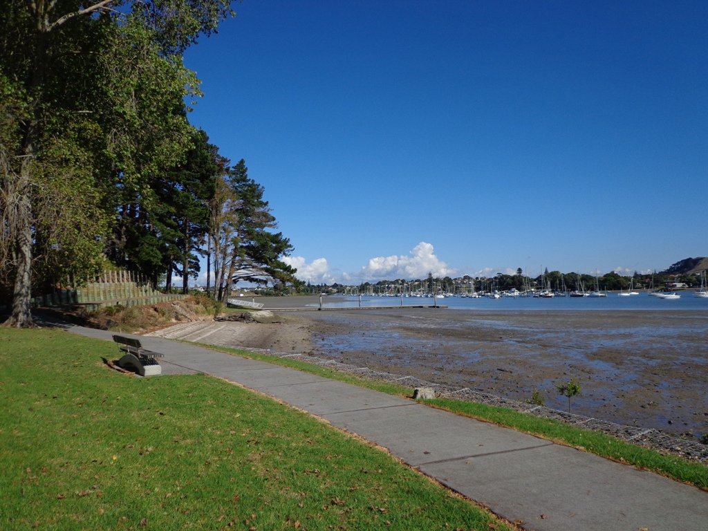
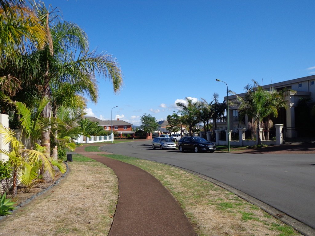
We started off at Ceramco Park, but if you are arriving by train, you could take the Upper Waikumete Walk and Cycle Way starting from the corner of Captain Scott Road and West Coast Road, turn right into Savoy Road to continue to Ceramco Park. We followed the Waikumete Stream, footpaths, walkways and tracks through native bush and wetlands, over bridges and along pleasant residential streets, making this an enjoyable short urban bush walk.

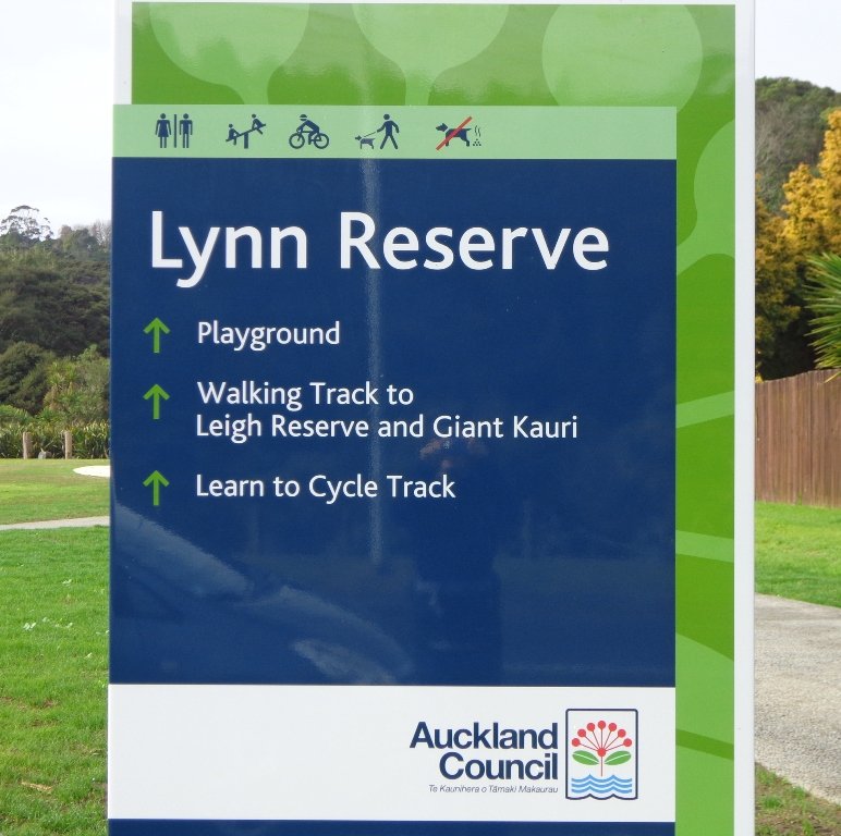
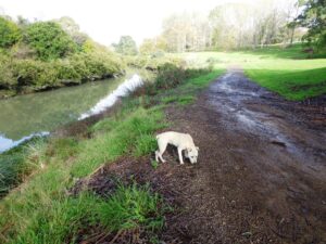
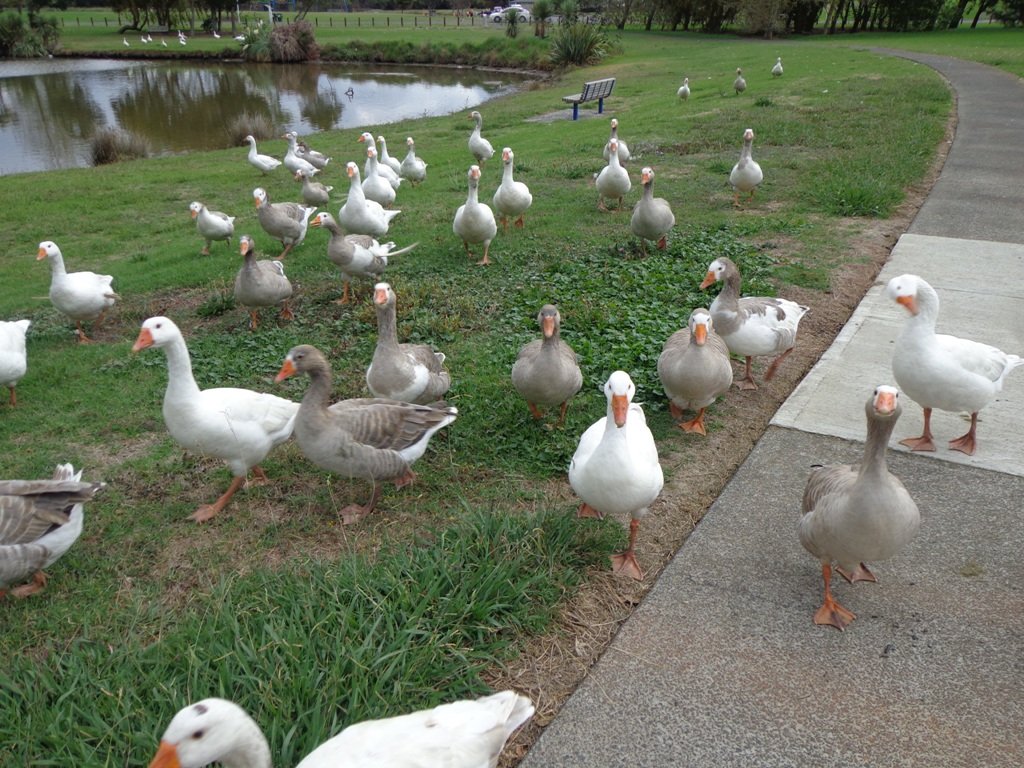
Dogs – Off leash exercise areas within reserves and parks.

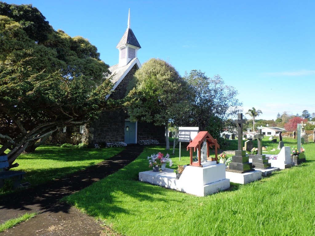
Nearby Walk: Glen Eden and Waikumete Cemetery Circuit Walk

Description: Mainly flat with one steep road. Suitable for most ages and levels of fitness and mobility, designed with flat shoes or running shoes in mind. Suitable for pushchairs.
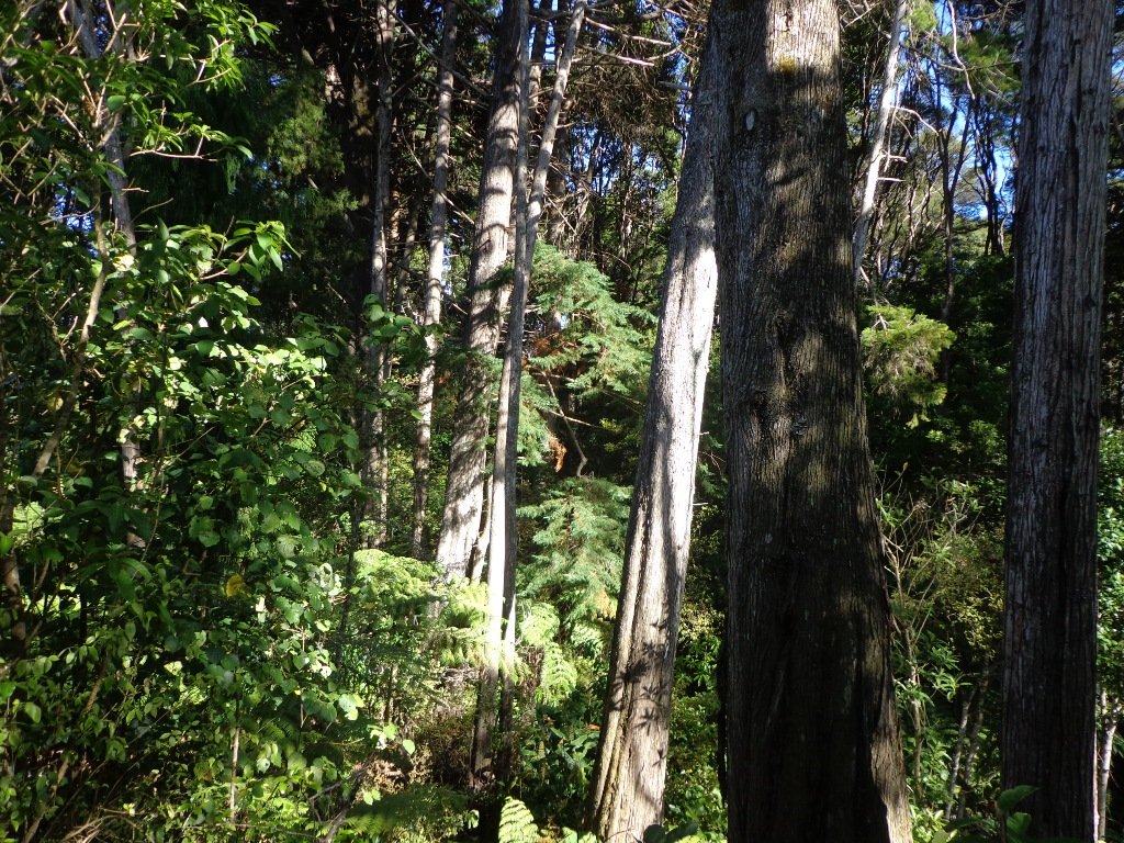
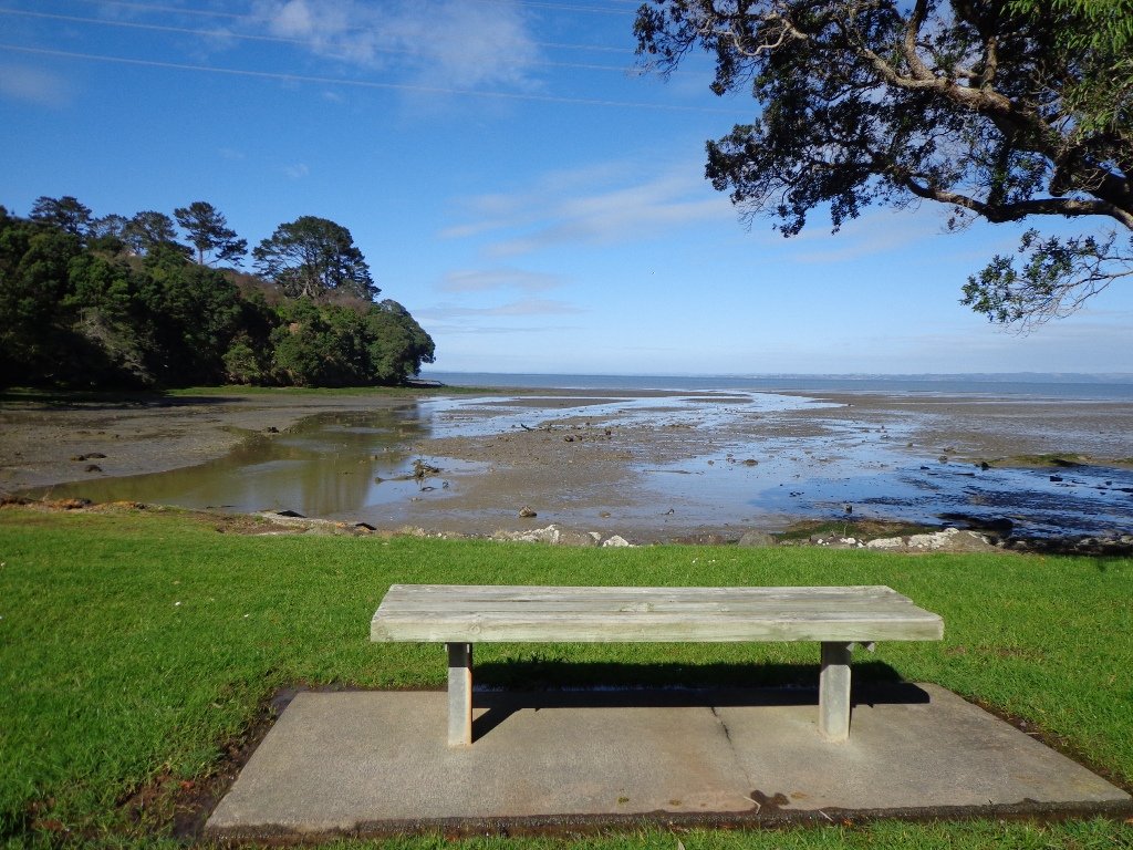
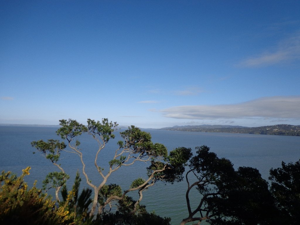
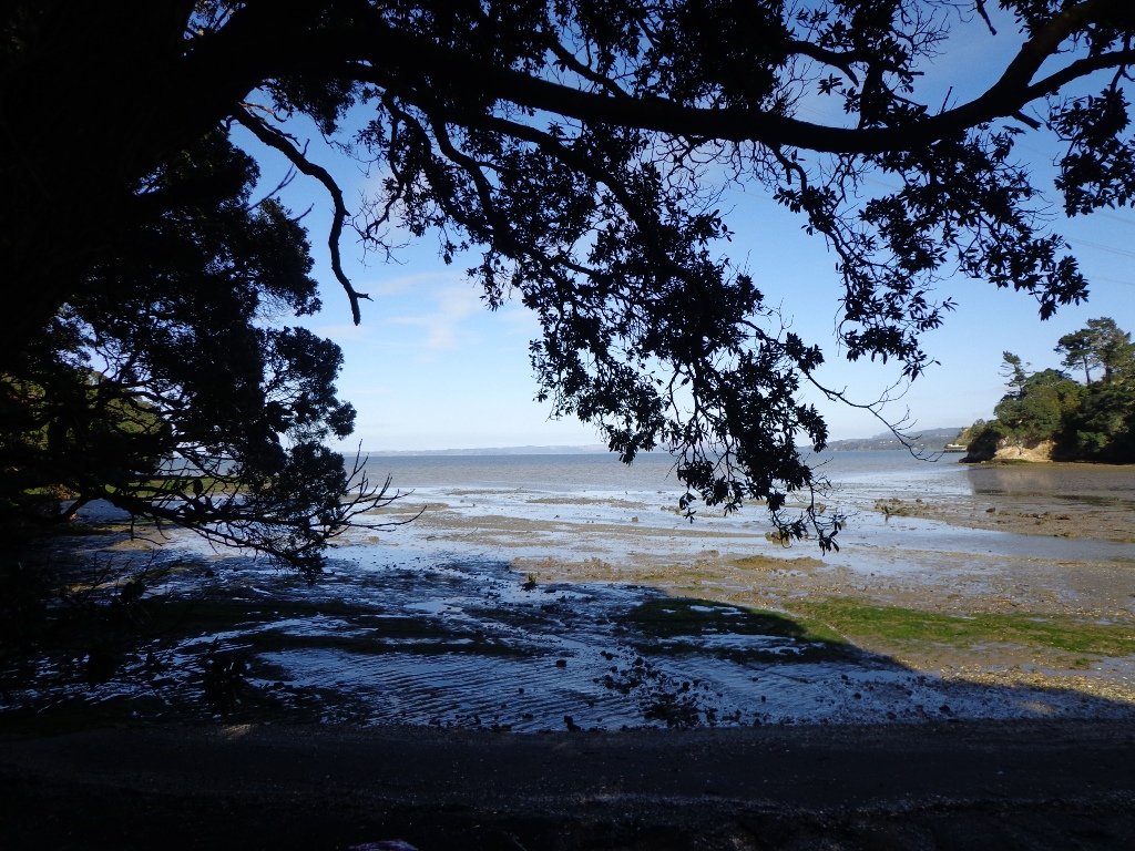
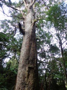
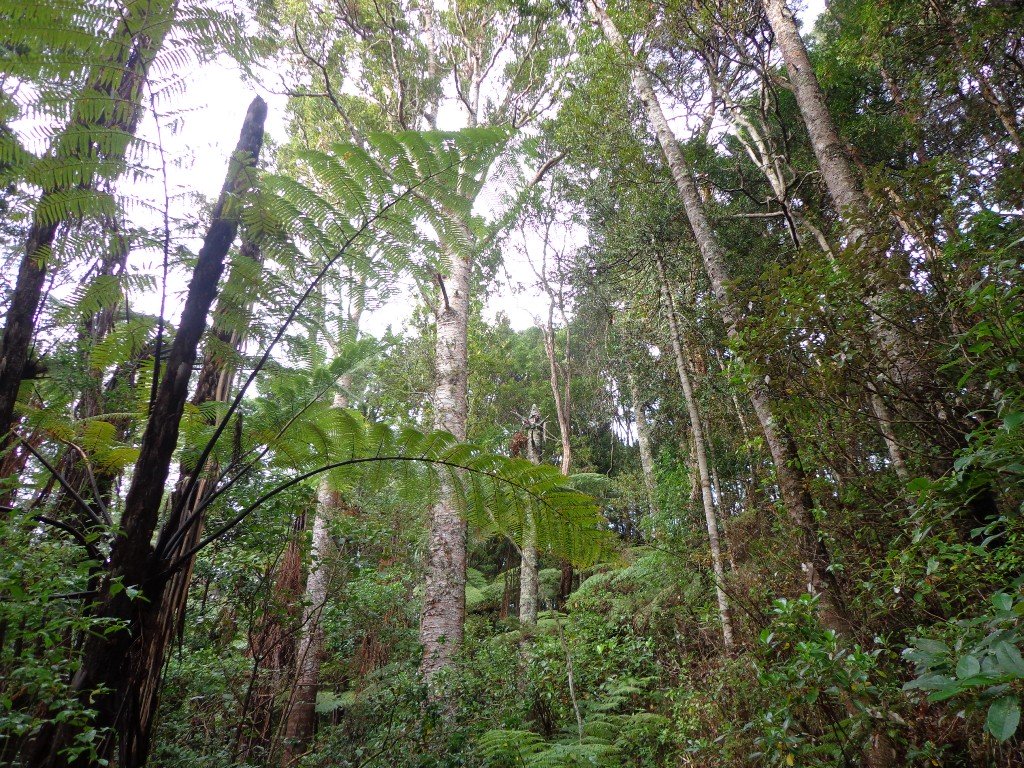
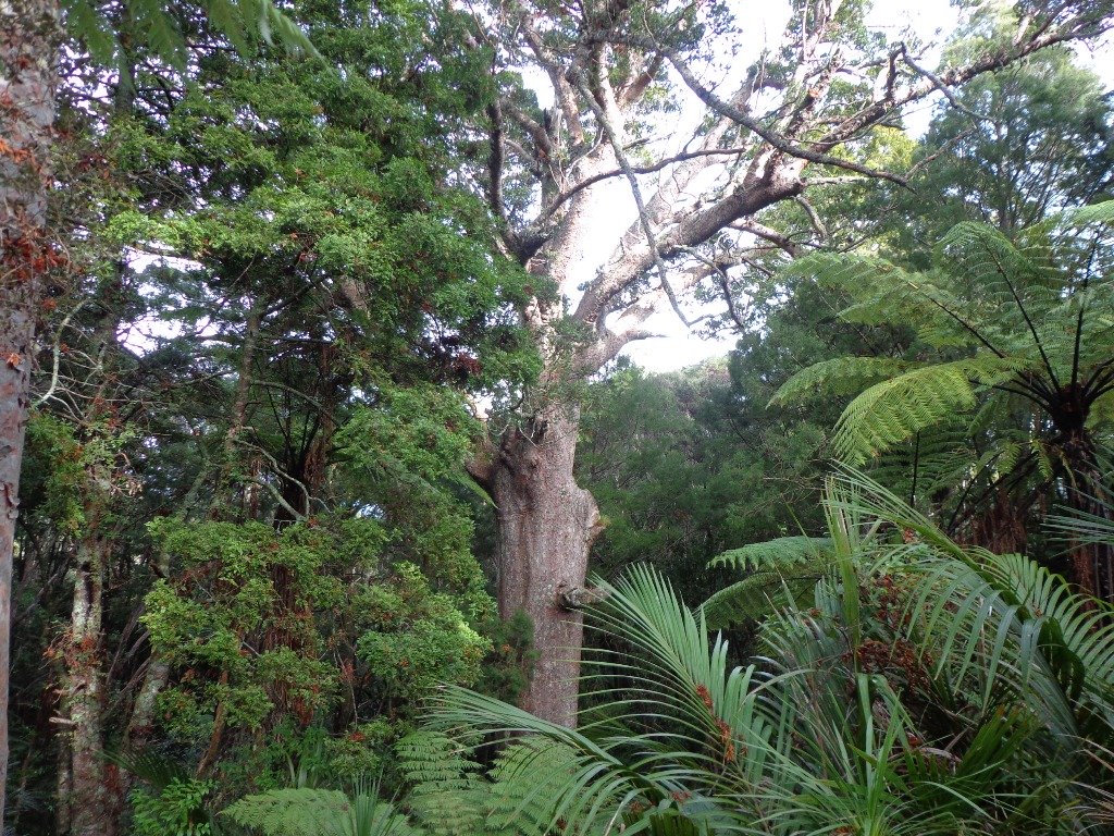
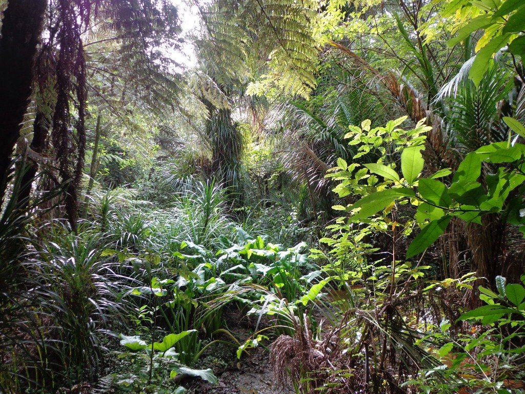
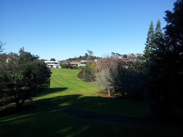
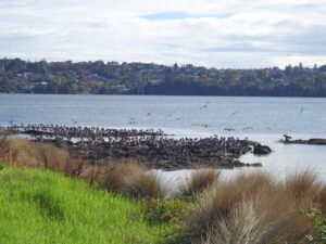
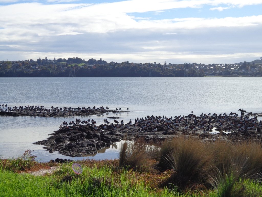
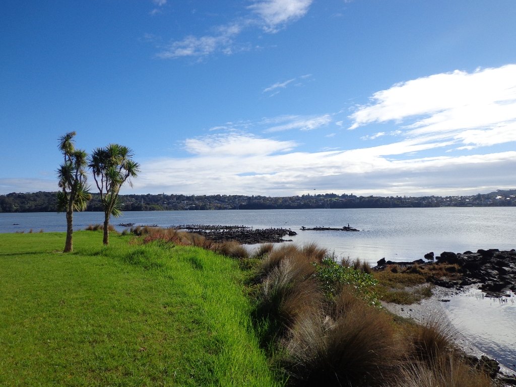
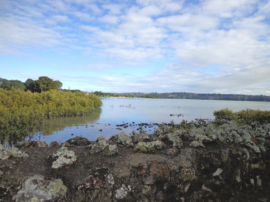
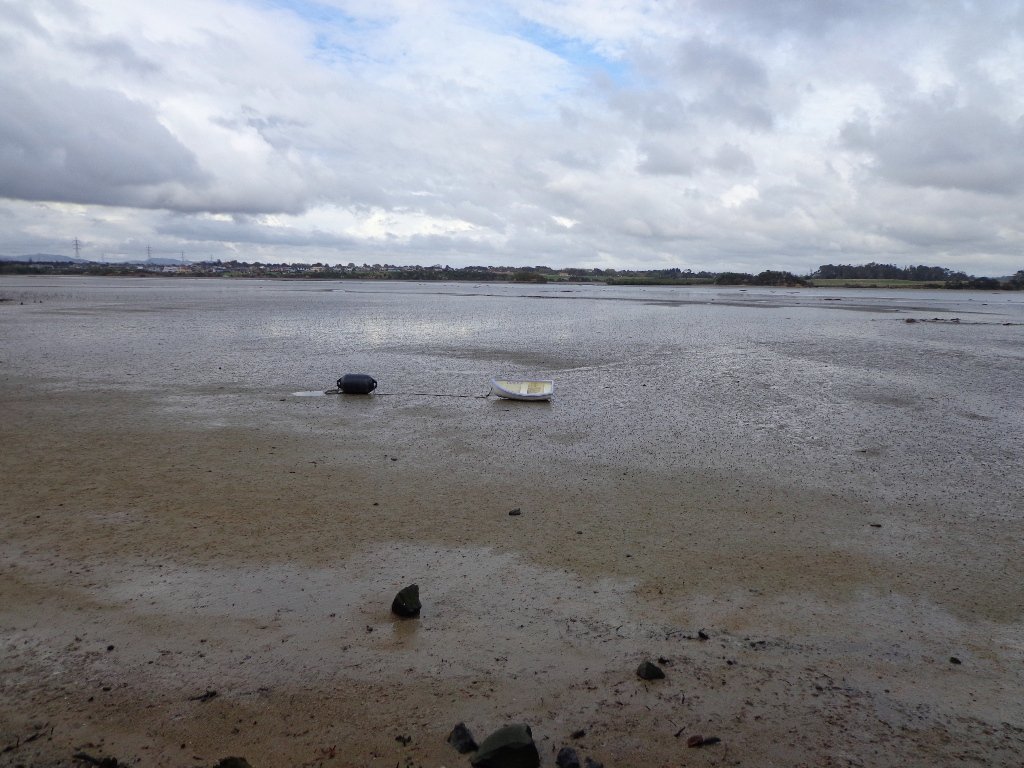
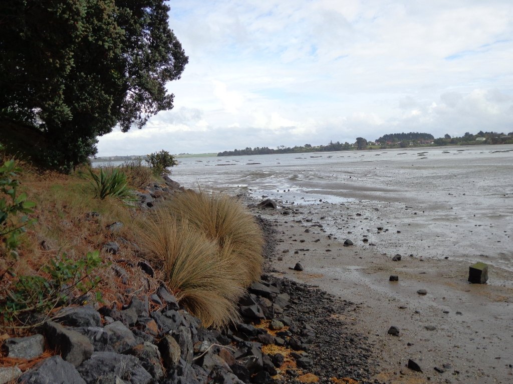
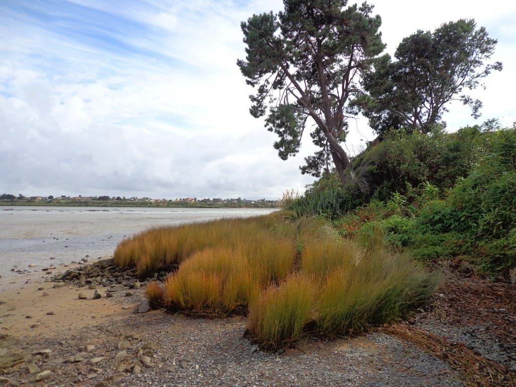
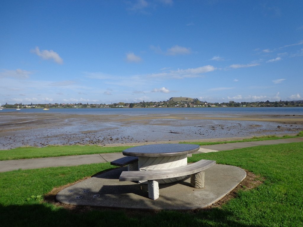
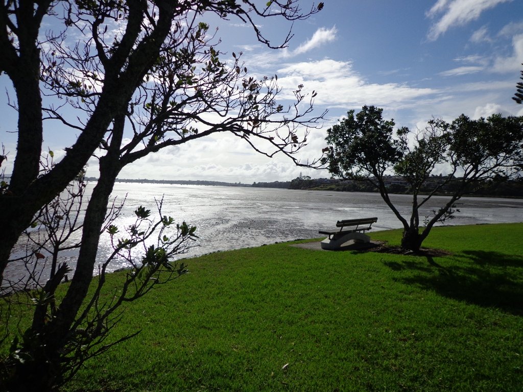
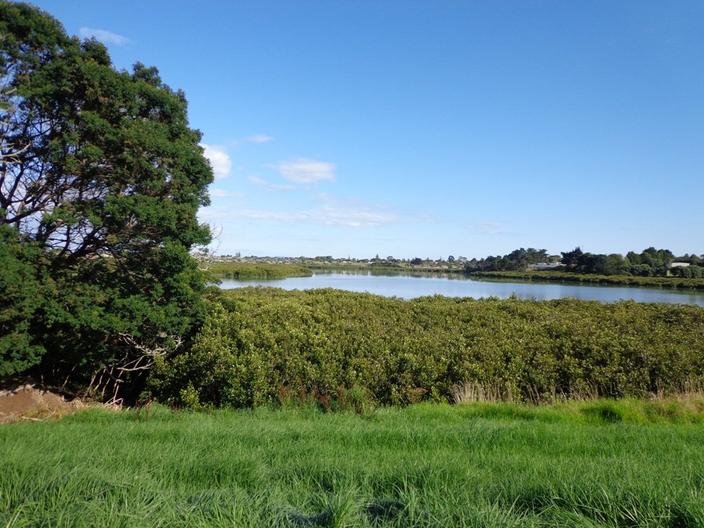
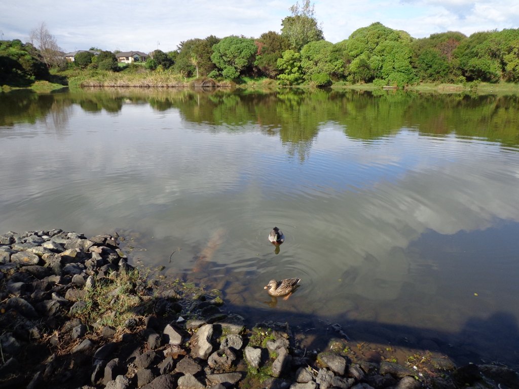
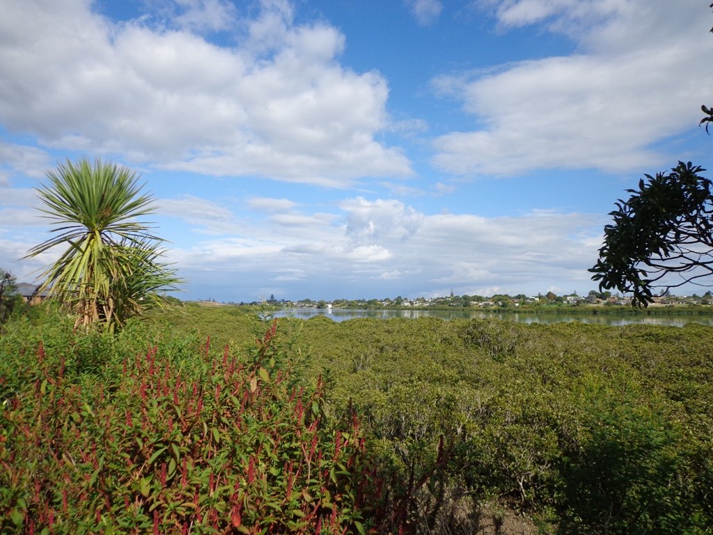
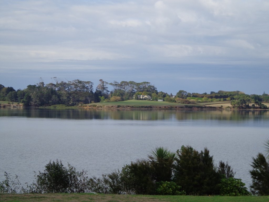
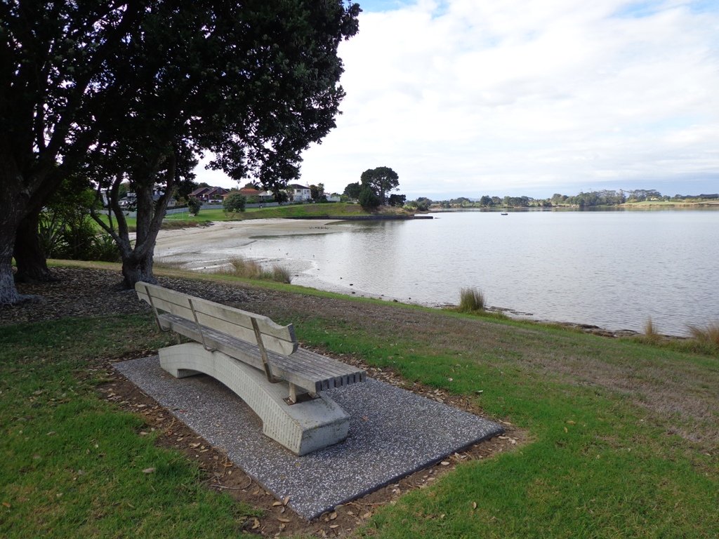
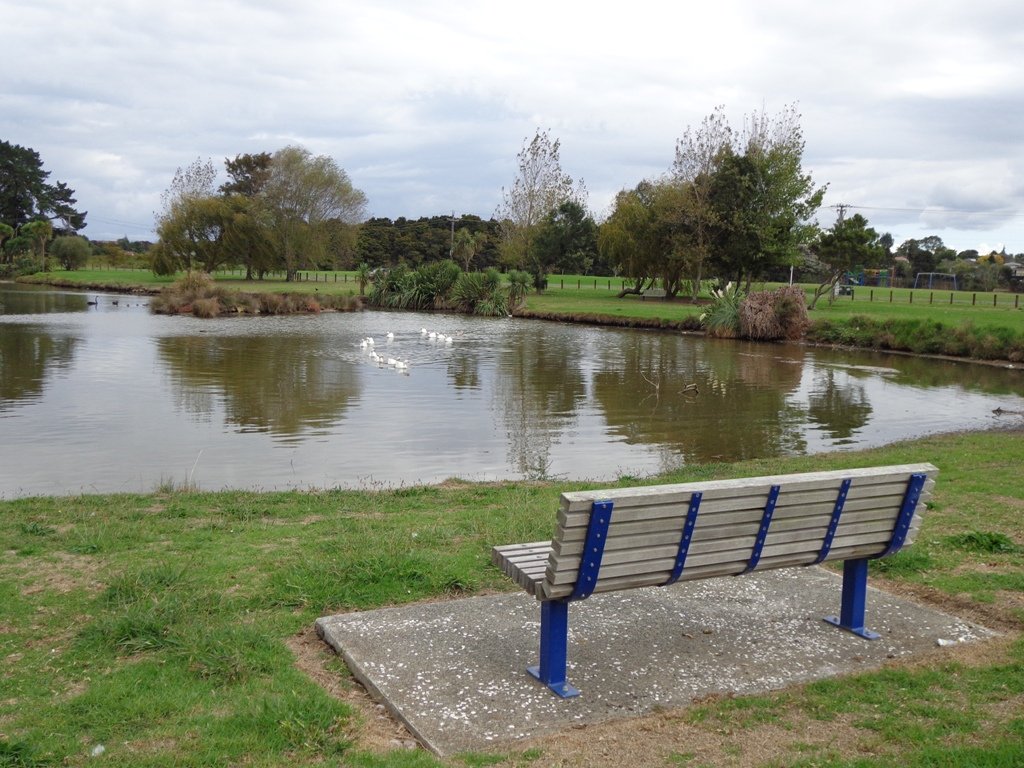
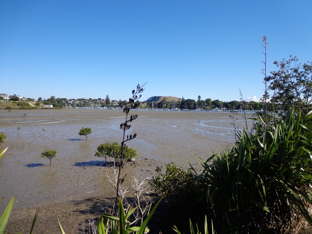
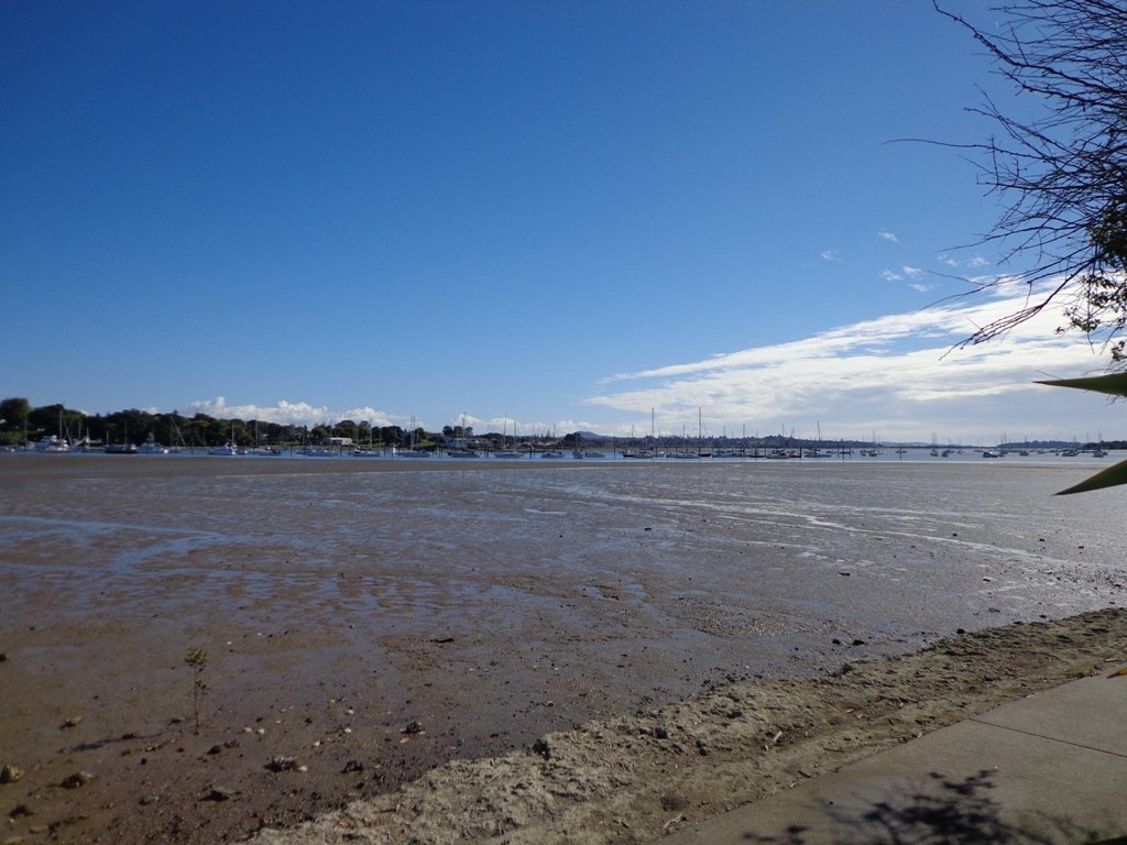
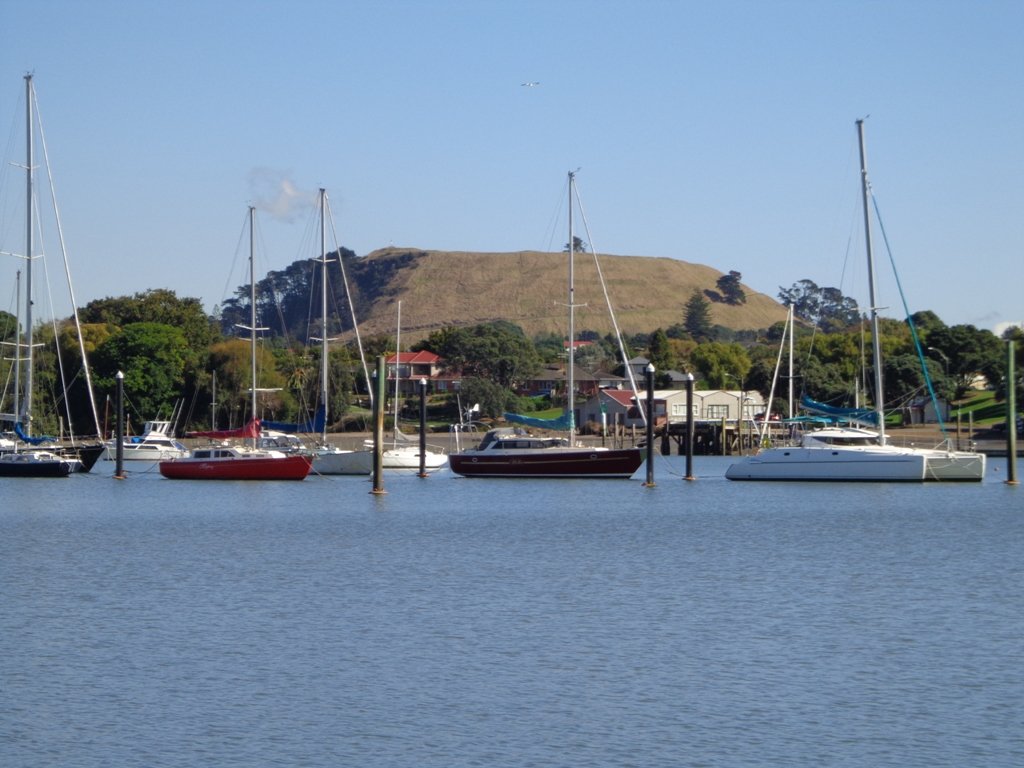
To see: Waikumete Creek, wetlands, native bush, kauri trees.
Time: approx. 60 minutes (about 5.47kms).
Parking:  Ceramco Park.
Start: 120 Glendale Road, Glen Eden. MAP

Stay on track…get your detailed guide and map (AW-099 Glen Eden Bush & Stream Walk) over at our Walks Store  and our Book Store (one of 12 walks featured in our books “Dog Friendly Part 2” “Best of the West“).

Mairangi Bay Loops

The clifftop and beach loop walks starting at Campbells Bay and taking in Mairangi Bay, and Murrays Bay and part of Rothesay Bay on Auckland’s North Shore provide stunning views over the Hauraki Gulf and Islands.

Maurangi Bay Loops Copyright 2014 Unleashed Ventures Limited

The beach walkway is dependent on weather and tides (check tides here).

Today the beach at Maurangi Bay was busy with sailors, surf lifesavers, swimmers and paddle boarders.

People were out walking their dogs – and the dogs looked very happy racing around off the leash along the cliff paths. Be sure to check out the Auckland Council dog rules for the North Shore beaches here.

Dogs are allowed under control off-leash at any time at Churchill Reserve Beach (Rothesay Bay).

The walkways do have steps so a good level of fitness is needed.

Description: Mostly level paths with some steps and one steep climb. Suitable for most ages and levels of fitness and mobility, designed with flat shoes or running shoes in mind. Not suitable for pushchairs. Not recommended at high tide.
To see: Coastal views.
Time: approx. 80 minutes (about 6.65 kms).
Parking:  View Road, Campbells Bay. MAP

Stay on track… Find this walk (AN-098 Mairangi Bay Loop) and other walk brochures with map and directions at our Walk Store

Lynfield Coastal Walk

The views across to Blockhouse Bay and Manukau Heads in the far distance along the Lynfield coastal walk this morning, were spectacular! The sun was shining, the sky was clear and the tide (check here for tide times) was almost full.

Lynfield Coastal Walk © 2011-2013 Unleashed Ventures Limited

This was an explore walk for us – trying to work out the best circular route without too much street walking.  The route has a few steep ups and downs, which makes it a good workout. We met some people who were walking their dog off leash along the reserve.

July 2016 Update: The sculpture “Open Stone” by late Japanese sculptor Hiroaki Ueda is now on view in the Manukau Domain, Lynfield.

Description: Bush track, steps, inclines. Muddy in places when wet. Suitable for users of average fitness and mobility.
To see: Native bush, views across Manukau Harbour, native birds.
Time: approx. 45 minutes. (about 3.75 kms). One small children’s playground. Dog friendly off-leash in Manukau Domain (alongside the Lynfield Cove Walkway).
Parking: Himalaya Crescent, Lynfield.
Buses: Halsey Drive, Lynfield MAP

Stay on track…find this walk’s map and directions guide (AC-086 Lynfield Coast & Bush Walk) and other walk self-guides at our Walk Store.

Westmere Loop Walk

This Westmere Loop walk explores the gems of Wellpark Reserve and Jaggers Bush Reserve beside the creek, and touches on the harbour edge at Westmere Park and the end of Garnet Road.  It is interesting to observe the varied style of housing. At low tide it is easy to take a short cut alongside the harbour.

Garnet Station Cafe

Despite the grey clouds and the rain forecast, we set off to explore the streets and reserves of Westmere, starting from the fabulous community-minded Garnet Station Cafe in Garnet Road.

Description: Bush track, steps, inclines. Muddy in places when wet. Suitable for users of average fitness and mobility.
To see: Native bush, views across Auckland Harbour, native birds.
Time: approx. 75 minutes. (about 5.5 kms). Dog friendly (off-leash in Jaggers Bush Reserve).
Parking: Garnet Road, Westmere.
Buses: Warwick Avenue, Westmere MAP

Stay on track…find this walk’s map and directions guide (AC-083 Westmere Loop Walk) and other walk self-guides at our Walk Store.

Bayview Giant Kauri Walk

***** ATTENTION Kauri Dieback has been identified on Auckland’s North Shore. Auckland Council will look to close tracks soon. As this Kauri tree in Lynn Reserve is the largest Kauri on the North Shore, and of significance to our community, you are asked to not visit this track. When walking near any Kauri, your shoes must be so clean you could ‘kiss’ them. Please protect our Kauri. The best way to help is to not walk near them.
Danielle Grant – Deputy Chair Kaipatiki Local Board ****

Bayview Giant Kauri tree © 2011-2013 Unleashed Ventures Limited

We returned to Bayview on the North Shore to complete a circular walk in a different direction to our previous Bayview Coast and Bush Walk.

Today’s walk starts off in Lynn Reserve, and heads up a bush filled gully with a small stream, to a giant Kauri tree (over 2 metres in diameter and is said to be about 800 years old) among a grove of smaller kauri trees which are growing in Leigh Scenic Reserve.  It is awesome!

The route joins up with the Glenfield Coastal Walkway and heads around to the boat ramp and Manuka Reserve at the bottom of Manuka Road.  Hearing the song of the tui birds as we slowly walked up the incline of Manuka Road gave us great encouragement.

This walk through the bush and along the Upper Harbour coastline is not only beautiful, it provides a great workout if you are into fitness. It is also a fun family walk that includes two children’s playgrounds, plus dog off leash exercise areas.

The new playground at Lynn Reserve looks great, and in the week since we last visited, a children’s ‘learn to cycle track‘ has been installed.

***Please note: September 2018 This track has been temporarily closed due to Kauri Dieback

Description: Bush track, steps, inclines and board walks. Muddy in places when wet. Suitable for users of average fitness and mobility.
To see: Native bush, including Giant Kauri, small waterfalls, views across Auckland Harbour to Hobsonville Point, native birds.
Time: approx. 75 minutes. (about 5.8 kms). Dog off leash areas. Three children’s playgrounds.
Parking: Lynn Road, Bayview near Glenfield.
Buses: 111 Lynn Road, Bayview MAP

Takapuna to Milford Loop Walk

Copyright 2011-2013 Unleashed Ventures Limited

Many walkers on Auckland’s North Shore will be familiar with this route.  We start  off from the boat ramp at Takapuna, head along the shore line over sand, rocks and narrow pathways; past beautiful houses that overlook the Hauraki Gulf and Rangitoto Island to Milford, where we head inland along the marina before returning to Takapuna.

This walk suits sure-footed folk, and you would want to avoid high tide and stormy seas.

Dogs – Takapuna Beach is an off-leash exercise area 24/7 in winter, but only before 10am and after 6pm during daylight saving.

Description: Partly rocky and narrow seaside pathway. Slippery when wet.  Avoid at high tide and stormy weather. Suitable for users of average fitness and mobility.
To see:  Hauraki Gulf, beaches, marina, residential homes.
Time: approx. 75 minutes. (about 6.22 kms)
Parking: Takapuna Boat Ramp, The Promenade
Buses: Hurstmere Road, Takapuna (MAP)

Stay on track…find this walk’s map and directions guide (AN-077 Takapuna Milford Loop) and other walk self-guides at our Walk Store.

Takapuna Explorer

Our walk around Takapuna on Auckland’s North Shore was in warm winter sunshine.  It was great to see so many people out walking – some with their dogs off-leash on the beach (check out the Council dog rules), making the most of the day.

Takapuna Beach Auckland Copyright Unleashed Ventures Limited 2013

We followed a route documented by Margaret Scrymgeour from her booklet “Explore the Shore”. This walk takes in the sandy shore as well as the mangrove filled estuaries. The walk is quite undulating, so gave us a good workout. The views of Rangitoto are stunning, and we also enjoyed the view to Auckland City, Mount Eden and the Harbour Bridge.

Description: Mix of flat and undulating paths. Suitable for users of average fitness and mobility.
To see: Takapuna Beach, Rangitoto, Mangrove, native birds, ducks
Time: approx. 90-120 minutes. (about 8 kms)
Start: Takapuna Boat Ramp, The Promenade  MAP

Coastal part 2

Stay on track…get your detailed guide and map (AN-075 Takapuna Explorer) over at our Walks Store  and our Book Store (one of 12 walks featured in our book “Coastal part 2”).

Otara Creek Walkway

The Otara Creek Walkway in South Auckland, passes through some 220 hectares of waterway/tidal mudflats and forms a green corridor within Otara township.

Otara Creek Walkway

This huge reserve was almost empty today; we saw two cyclists and one stray dog.

This walkway is ideal for family cycling and for taking your dog for an off-leash walk. (Dogs are welcome along the walkway provided they are kept under control and do not disturb wildlife or other park users. Dogs are not permitted on sport fields or near children’s playgrounds.)

The creek has mangrove mud flats and is sadly polluted – the locals seems to take delight in dropping shopping trolleys into the creek. However, if you can overlook the neglect, you may find enjoyment in the bigger view: the sounds of the birds and the trees and the native plants within the Otara Creek Reserve.

When I got home the thought came to me what it was that was missing here.  Other walks along waterways in Auckland like Wattle Downs and Conifer Grove have homes facing the waterway, but here alongside Otara Creek, there are only fenced off back yards.  Would people feel a sense of ownership, if another row of houses inside the reserve faced the creek?

History: An Otara timeline from 1955 to 2010

Description: Mainly level paths. Suitable for users of average fitness and mobility. Dog friendly.
To see: Otara Creek and estuary, mangrove mud flats
Time: approx. 75 minutes. (about 5.75 kms)
Start from: Fair Mall, Bairds Road, East Tamaki  MAP

Stay on track…get your detailed guide and map (AS-073 Otara Creek Walkway) over at our Walks Store  and our Book Store (one of 12 walks featured in our books “Dog Friendly Walks part 3” and “Best of the South”).

Half Moon Bay East

Half Moon Bay marina - ©2013 walksinauckland.com

This walk at Half Moon Bay explores the parks and reserves to the east, and then heads down to Eastern Beach. On a sunny day at high tide it is quite beautiful! The new-ish boardwalk, is a great finishing touch as you return to Half Moon Bay.

It was very busy at the Half Moon Bay cafes today – with many people out making the most of the sunny, warm weather and Mothers Day.

Description: Mainly level paths, steep steps and steep slopes. Suitable for users of average fitness and mobility.
To see: Views of Tamaki Estuary, marina, Eastern Beach Esplanade; views of Rangitoto, Mount Wellington and One Tree Hill
Time: approx. 75 minutes. (about 6.0 kms)
Start from: Half Moon Bay Marina  MAP

Stay on track…get your detailed guide and map (AE-072 Half Moon Bay East) over at our Walks Store  and our Book Store (one of 12 walks featured in our books “Coastal part 2” and “Best of the East”).


Mangere Esplanade Loop Walk

Mangere Bridge - Kiwi Esplanade copyright 2013 Unleashed Ventures Limited

It was a treat to walk along Kiwi Esplanade (Mangere Bridge) at high tide in the sunshine this morning. We had clear views to One Tree Hill and nearby Mangere Mountain, and sighted the migratory South Island Pied Oyster Catchers sitting on the rocks and reserves.

It’s always a pleasure to visit Mangere Bridge Village, with it’s parade of cafes and interesting folk. The area was busy today with walkers and cyclists. 

The walking route is also great for prams/buggies and dog walkers (on leash only).

Nearby places to visit: Watercare Coastal walkwayAmbury Regional ParkVilla Maria Winery and cafeButterfly Creek,  Otuataua Stonefields historic reserve , Mangere Strawberry and Vegetable Farm @ 127 Kirkbride Road.

Other Mangere WalksMangere Bridge to Onehunga LoopAmbury Park Farm WalkMangere Mountain

Description: Mainly level paths, with just one gentle downhill slope. Suitable for users of average fitness and mobility.
To see: Views of Manukau Harbour, One Tree Hill, Mangere Mountain, Pukeko and shore birds habitat.
Time: approx. 75 minutes. (about 6.23 kms)
Start: Coronation Road, Mangere Bridge Village  MAP

Stay on track…get your detailed guide and map (AS-071 Mangere Esplanade Loop) over at our Walks Store  and our Book Store (one of 12 walks featured in our books “Coastal part 2” and “Best of the South”).


Conifer Grove Circuit

Conifer Grove Circuit © 2013 Unleashed Ventures Limited. All rights reserved

The walk along Conifer Grove Esplanade offers views across Manukau Harbour north to Wattle Downs and south to Karaka.

We met friendly chatty people along the shared walkway/cyclway, many with dogs and children in tow (there is a good selection of children’s playgrounds in the reserves).

Conifer Grove Walkway
Conifer Grove Walkway and Water

Link to open Google Map in a separate tab or tap the icon in top right of this map.

Download a printable version of the Conifer Grove Walkway Printable Google Map.

More information: My Auckland: Conifer Grove
The boardwalk through the mangroves provides a mini adventure for young children (but do keep an eye on them – one child’s scooter took a flying leap into the mud when we were there; luckily the tide was out!).

Suitable for family cycling – Brylee Drive Reserve, Takinini, 6km of shared paths.

Description: Mainly level paths, some steps. Suitable for users of average fitness and mobility.
To see: Manukau Harbour views, mangroves, residential homes and gardens
Time: approx. 60 minutes. (about 4.55 kms)
Start: Walter Strevens Drive, Conifer Grove  MAP

Stay on track…get your detailed guide and map (AS-069 Conifer Grove Circuit) over at our Walks Store and our Book Store (one of 12 walks featured in our books “Coastal part 2” and “Best of the South”).

Pakuranga Farm Cove Loop

We have now added a fourth loop walk taking in the wonderful Pakuranga Rotary walkway. This 5kms loop walk follows the Tamaki Estuary through Farm Cove and explores the Sunny Hills suburban streets, with views of Mount Wellington and One Tree Hill.

You may wish to cycle the whole 5 kms of the Pakuranga Rotary walkway, or just stop and watch the tide on one of the many seats along the walkway.  Families may like to take a fun break on the snakes and ladders playground near the Bramley Drive entrance.

The walking route is also great for prams/buggies and dog walkers (on leash only).

Mon Bichon Cafe

We stopped for coffee at the French inspired deli/cafe Mon Bichon, a delightful surprise in the Farm Cove village shops. You could buy your pastries from here to take and eat beside the walkway…(update: sadly it is no longer there).

Description: Mainly level paths (with one small incline).  Suitable for users of average fitness and mobility. Suitable for cycling and push-chairs.
To see: Tamaki Estuary, Mangroves, white volcanic pumice deposits, views of Mount Wellington and One Tree Hill, residential homes
Time: approx. 60 minutes. (about 5 kms)
Start: Fisher Parade, Farm Cove Village  MAP

Stay on track…find this walk’s map and directions guide (AE-068 Pakuranga Farm Cove Loop) and other walk self-guides at our Walk Store and our Book Store (“Best of the East”)

Wattle Downs Walkway

Wattle Downs in South Auckland was another new area for us to explore. The Wattle Downs Walkway goes around the edge of the peninsula that extends into Manukau Harbour, at one spot there are views through to Manukau Heads.
The day was very calm – the water was like a mirror, and there were also threatening grey clouds hanging overhead.
The walking route is also great for cyclists, prams/buggies and dog walkers (on leash and off  leash dog exercise areas).

Wattle Downs walkway © 2013 Unleashed Ventures Limited

There are many points of interest along the way, and friendly people to say hello to. We stopped and spoke to a resident whose house looked out towards Manukau Heads – he told us that they get to view amazing sunsets over the harbour.

There are wetlands and ponds active with shore birds – if you are a keen bird watcher be sure to take your binoculars.

The only thing missing in the area is a cafe.

UPDATE March 2015 ** The shared walkway/cycleway has been extended from Hadley Wood Drive to Aberdeen Crescent.


Suitable for Family cycling: Frangipani Ave to Bluewater place, 10km each way.

Wattle Downs Public Toilets

Description: Mainly level paths, one set of steps (which can be avoided). Suitable for users of average fitness and mobility. Suitable for cyclists.
To see: Manukau Heads, Manukau Harbour, Wattle Farm Wetland Reserve, shore birds
Time: approx. 100 minutes (about 8.7 kms). Dog off-leash areas. Childrens playgrounds. No cafe. Public Toilets may not be open due to vandalism issues (see image below).
Start from: Wattle Farm Reserve MAP

Stay on track…get your detailed guide and map (AS-067 Wattle Downs Loop) over at our Walks Store   and our Book Store (one of 12 walks featured in our books “Coastal part 1”, “Dog Friendly Walks part 1” and “Best of the South”).

(Click on the photos to enlarge)

Pakuranga Kentigern Loop

© 2013 Unleashed Ventures Limited

Today we set out to explore another part of the Pakuranga Rotary Walkway, this time taking a loop behind Saint Kentigern College and through Manor Park.

This mainly flat 4km walk would suit workers at Pakuranga Plaza as well as residents. Views of Mount Wellington and water craft. Great for cyclists (cycle the full length of the walkway to Pigeon Mountain) and dog walkers (on leash – please refer to comments below), and for prams/buggies .

The day was calm and the skies blue – perfect for a walk!

Description: Mainly level paths. Suitable for users of average fitness and mobility.
To see:  Views of Mount Wellington, water craft, residential homes
Time: approx. 45 minutes. (about 4.0 kms)
Start: Pakuranga Plaza MAP

Stay on track…find this walk’s map and directions guide (AE-066 Pakuranga Kentigern Loop) and other walk self-guides at our Walk Store

(Click on photos to enlarge)

Kingsland-Mt Eden Loop

This Auckland walk takes you from Kingsland Train Station (with views of Mt Albert), touches the city end of Dominion Road, Eden Quarter, and through the suburban streets of Mt Eden, to Mt Eden Village and return.

Kingsland, Auckland

You can enjoy the tree lined footpaths and beautiful old homes.  And this walk makes it very apparent that Eden Park is really in Kingsland.

You can choose to take your time and stop at various shopping precints along the route or do the 90 minute walk in one gulp!

Description: Mainly level paths and steps. Suitable for users of average fitness and mobility.
To see:  Kingsland, Dominion Road, Mt Eden Shops; residential homes
Time: approx. 90 minutes. (about 7.0 kms). Dogs on-leash. One small children’s playground.
Start: Kingsland Train Station MAP

Stay on track…find this walk’s map and directions guide ( AC-065 Kingsland-Mt Eden Loop) and other walk self-guides at our Walk Store