Tag Archives: North Shore

Mairangi Bay Loops

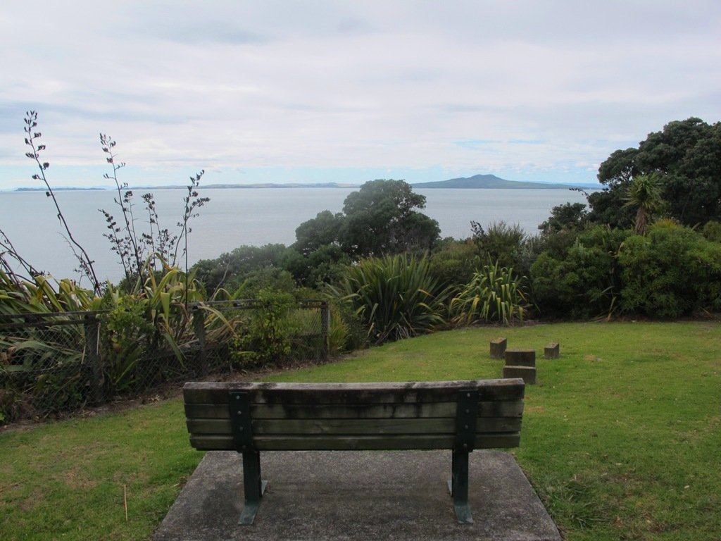
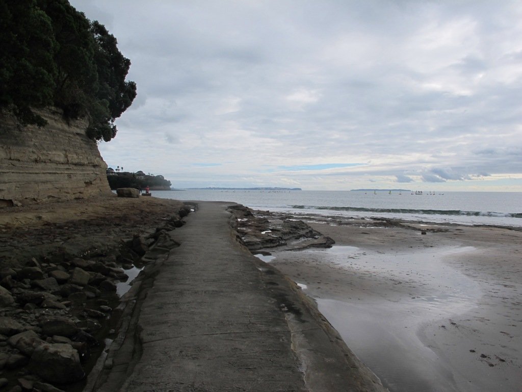
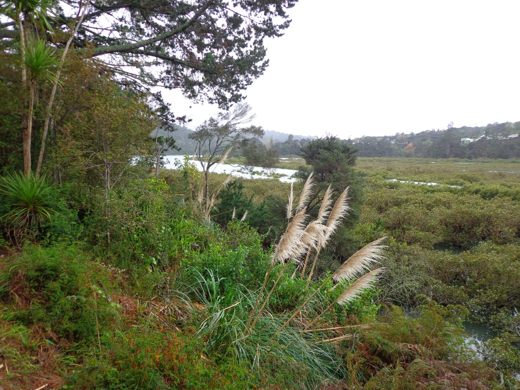
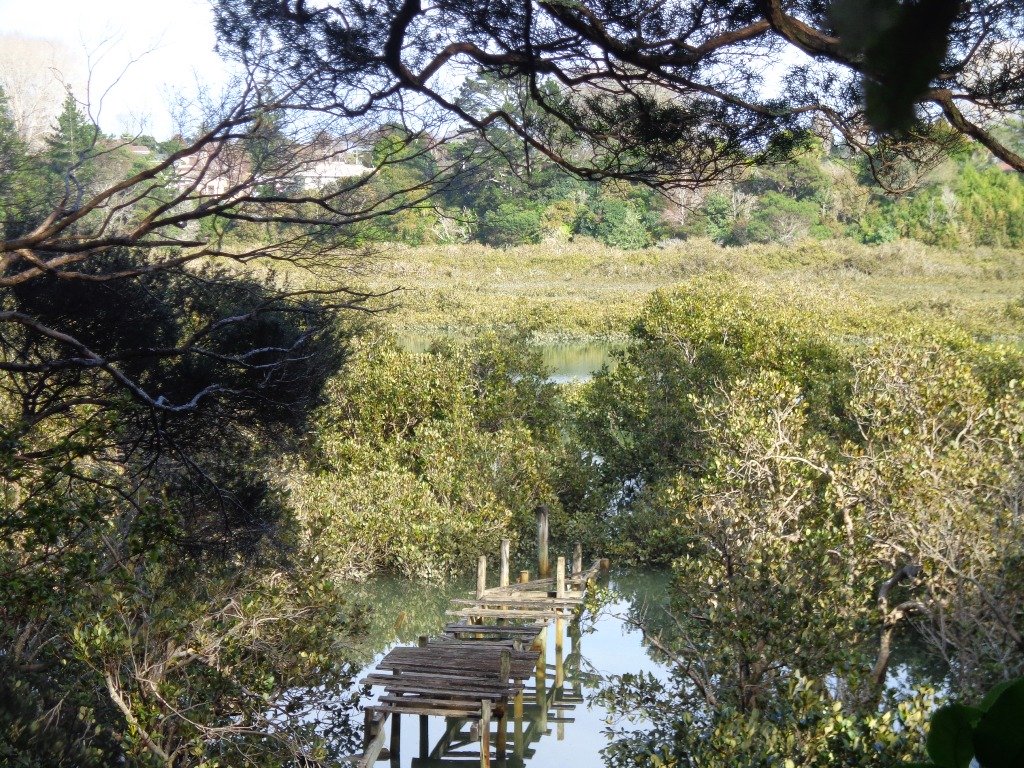
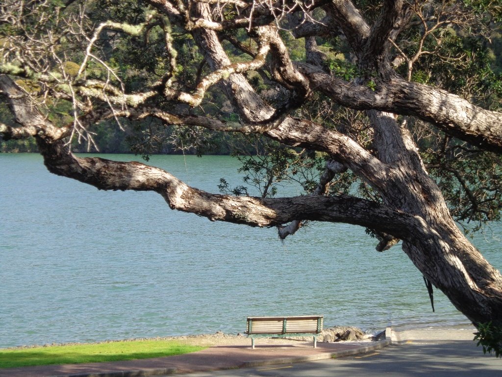
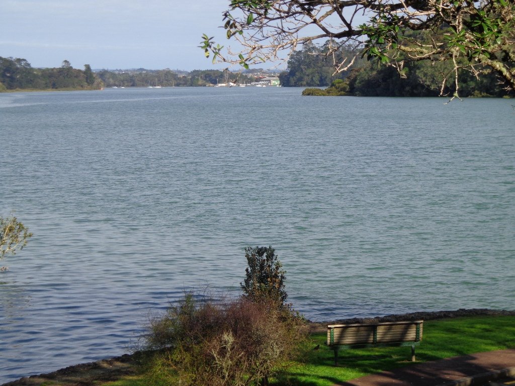
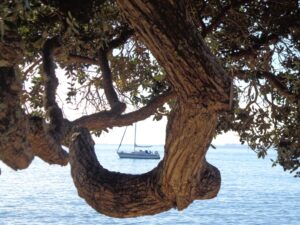
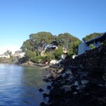
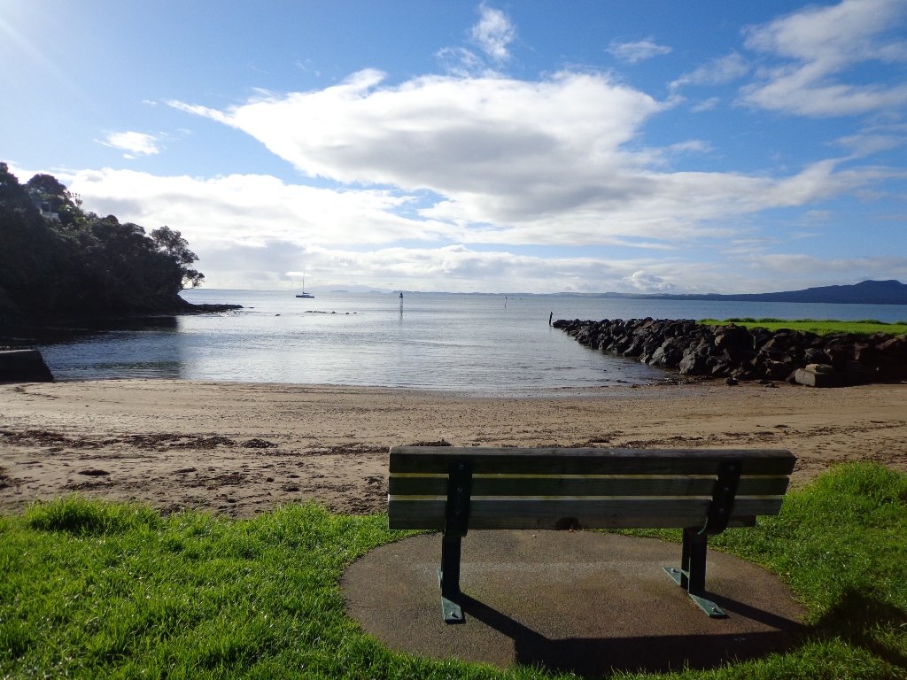
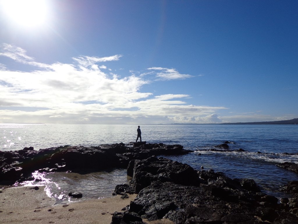
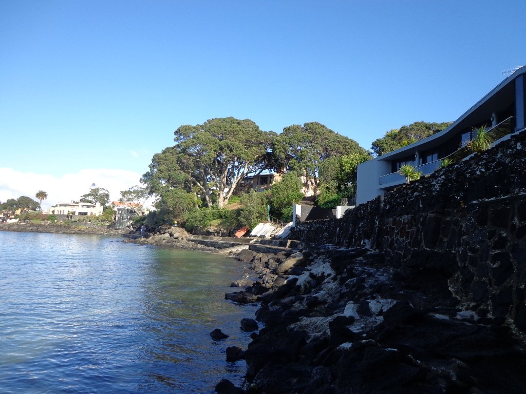
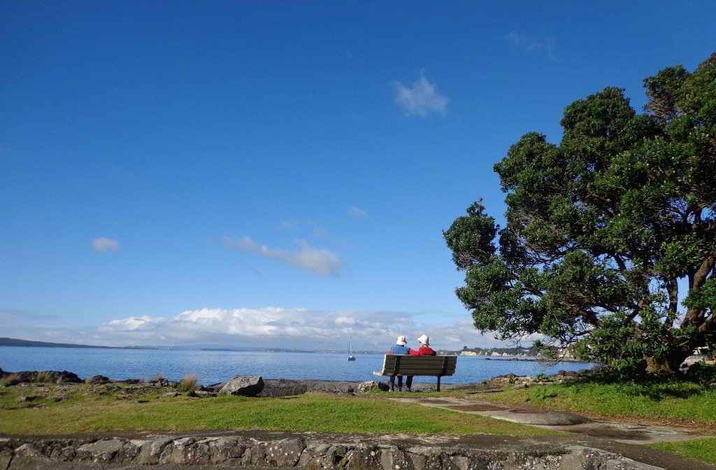
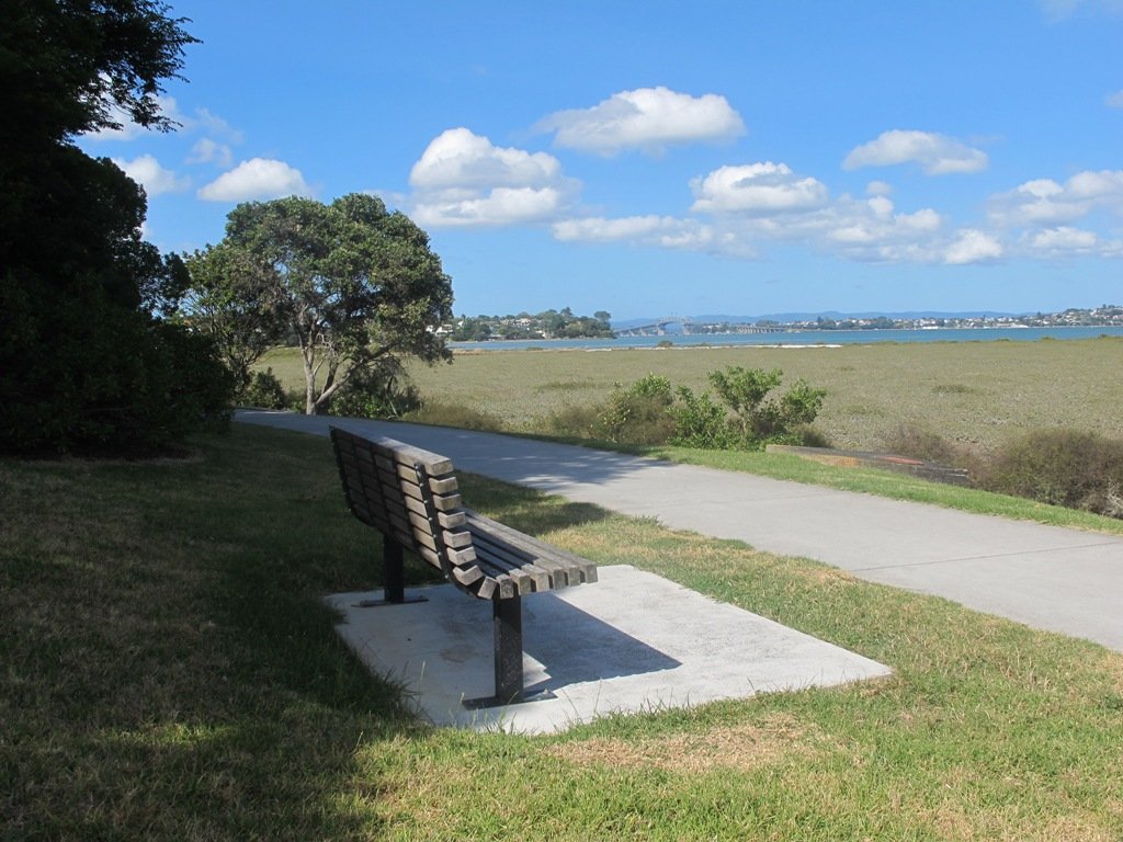
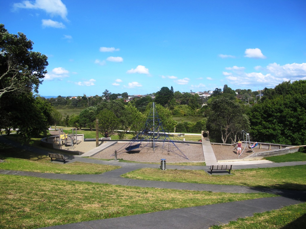
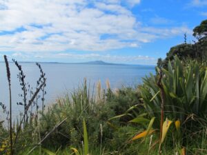
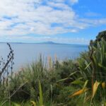
The clifftop and beach loop walks starting at Campbells Bay and taking in Mairangi Bay, and Murrays Bay and part of Rothesay Bay on Auckland’s North Shore provide stunning views over the Hauraki Gulf and Islands.

Maurangi Bay Loops Copyright 2014 Unleashed Ventures Limited

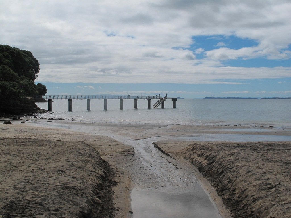
The beach walkway is dependent on weather and tides (check tides here).

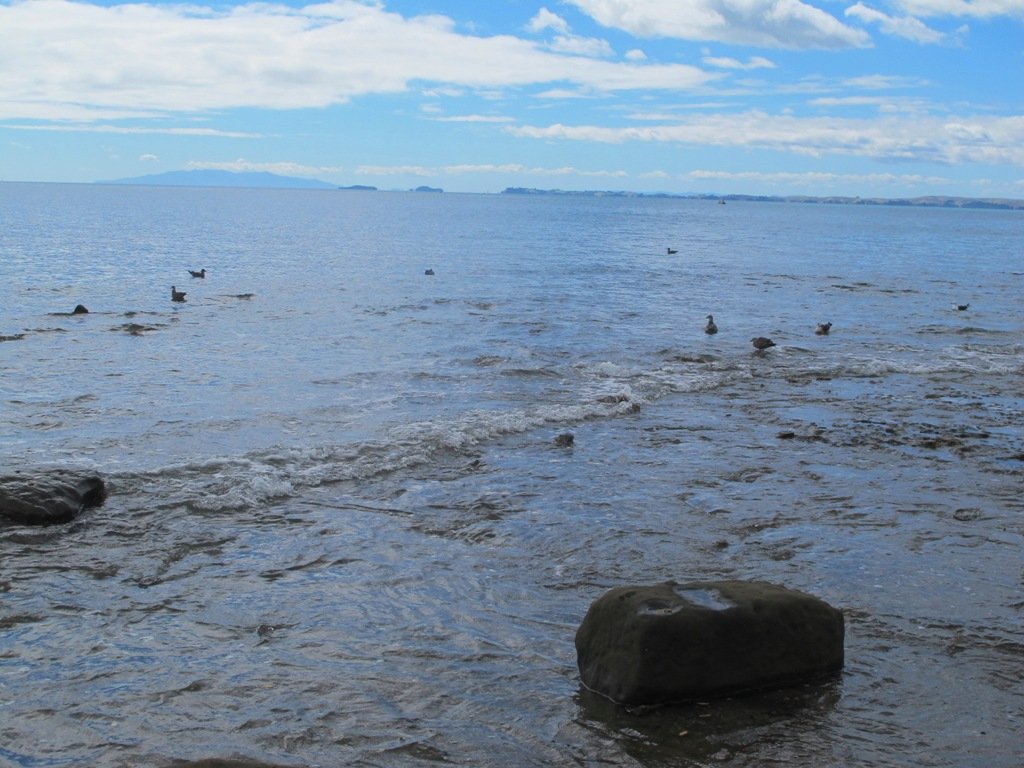
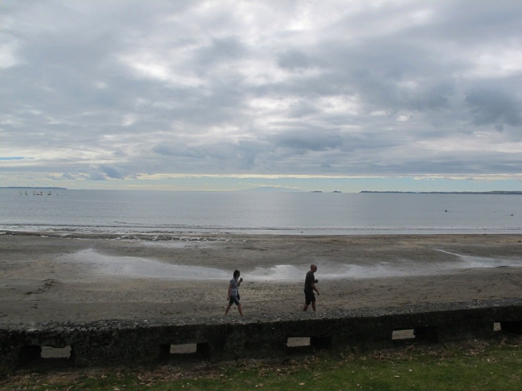
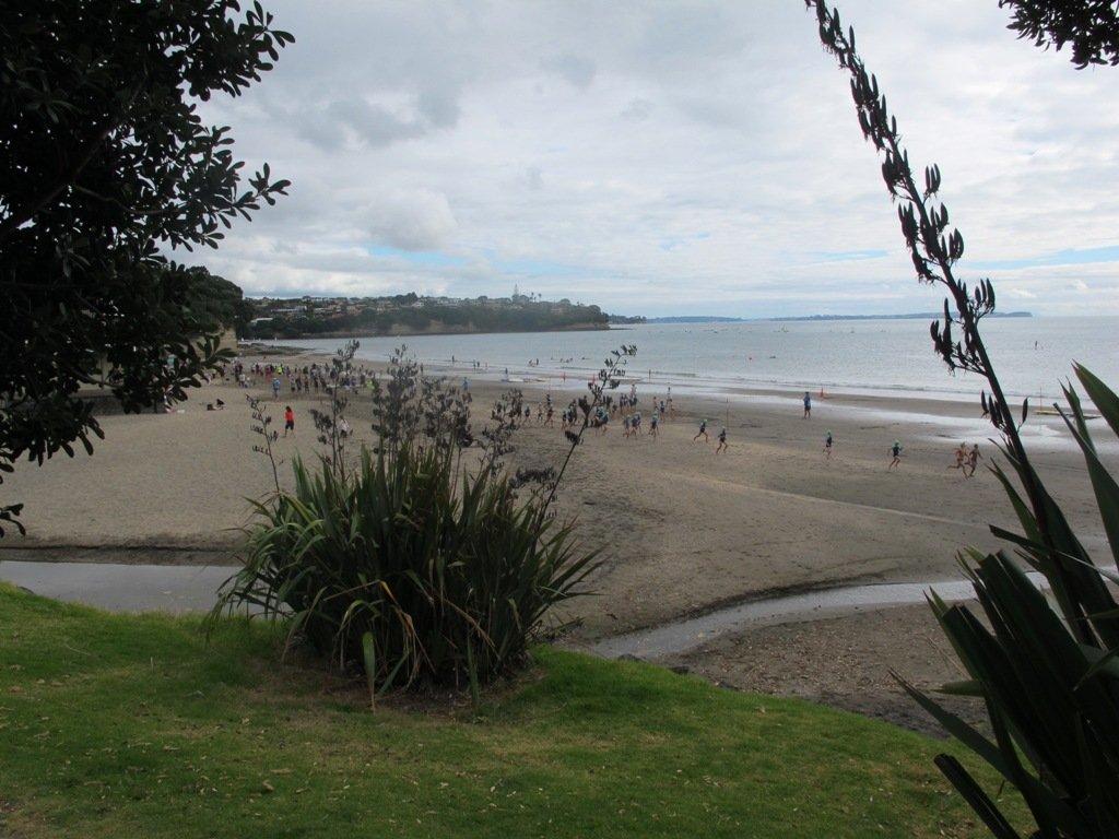
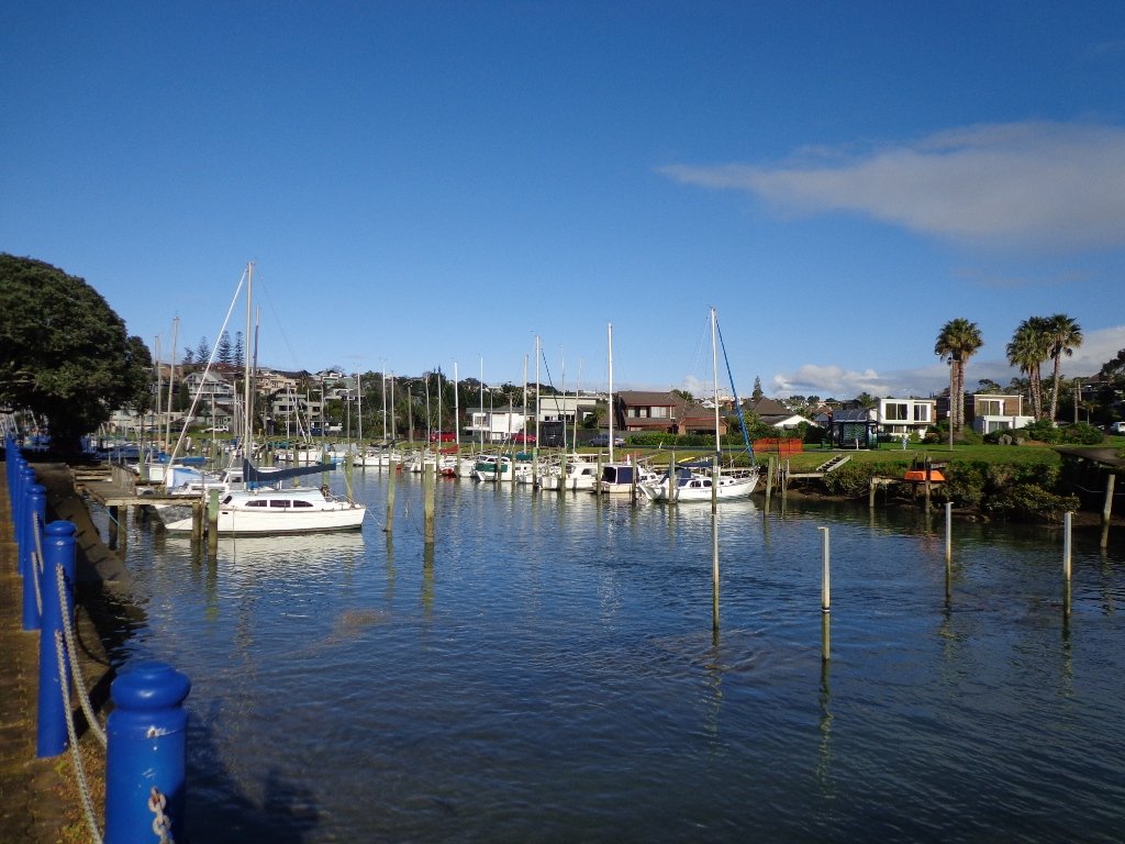
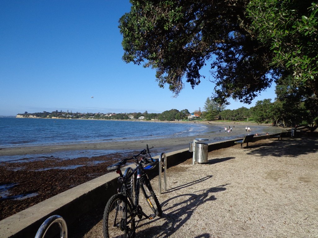
Today the beach at Maurangi Bay was busy with sailors, surf lifesavers, swimmers and paddle boarders.

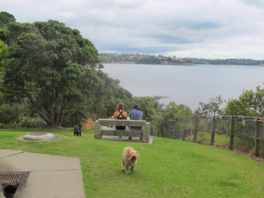
People were out walking their dogs – and the dogs looked very happy racing around off the leash along the cliff paths. Be sure to check out the Auckland Council dog rules for the North Shore beaches here.

Dogs are allowed under control off-leash at any time at Churchill Reserve Beach (Rothesay Bay).

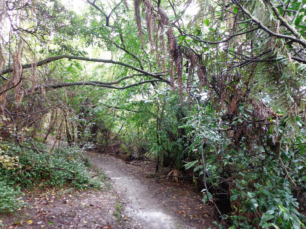
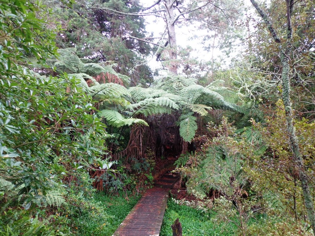
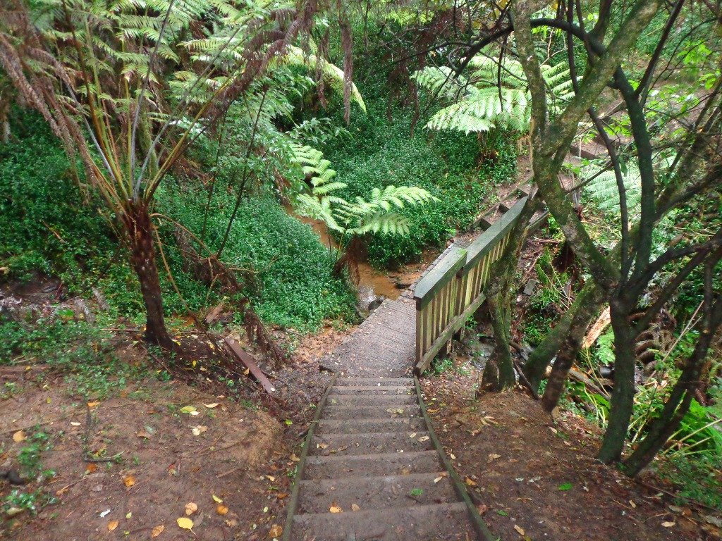
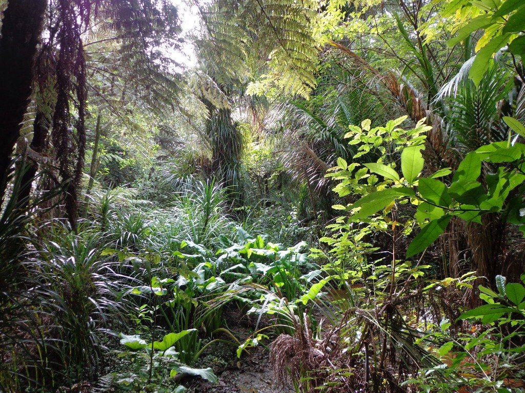
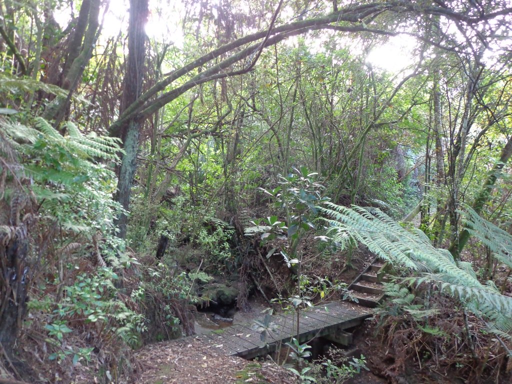
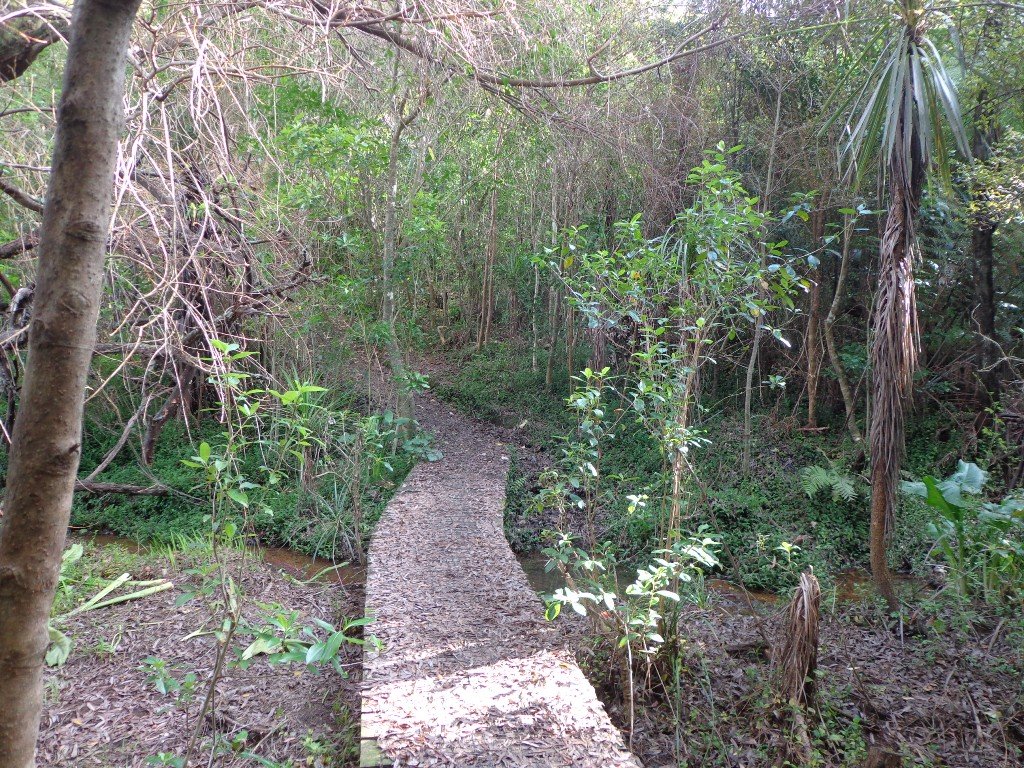
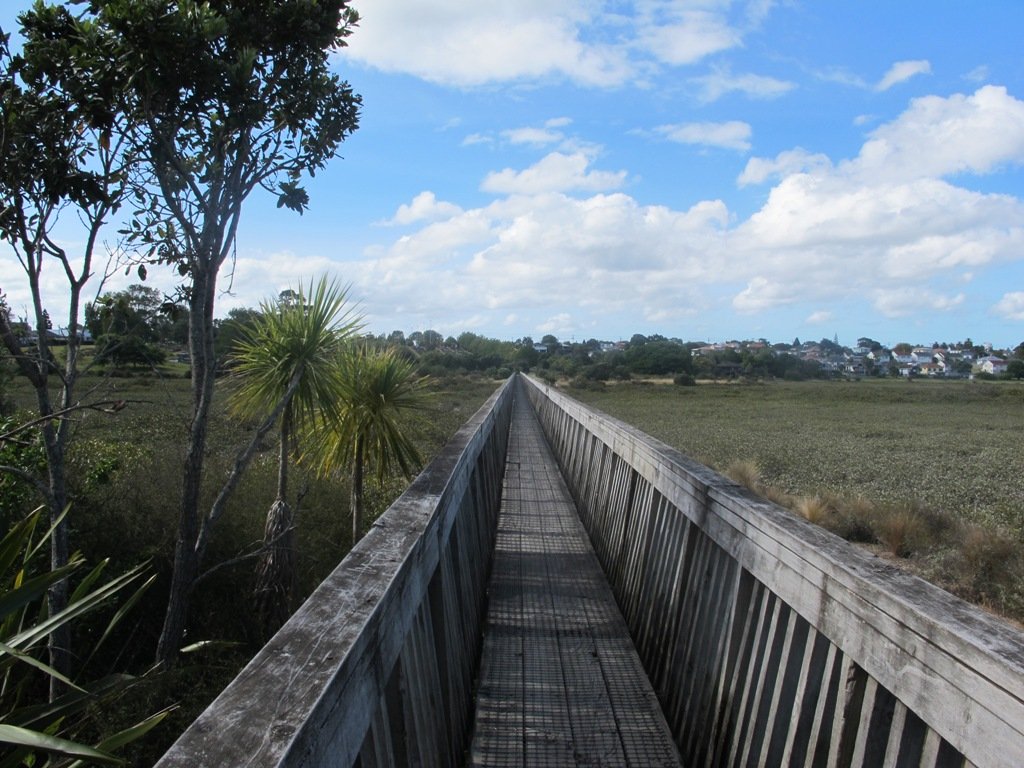
The walkways do have steps so a good level of fitness is needed.

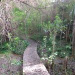
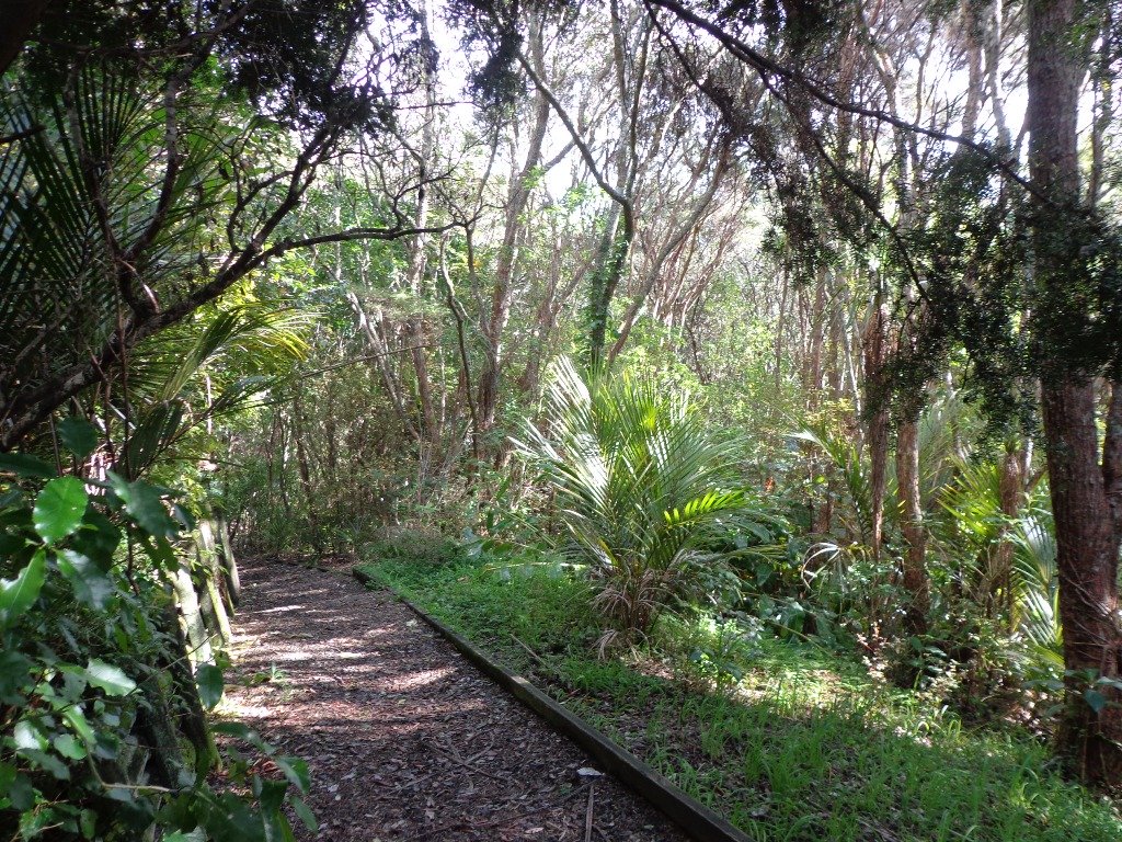
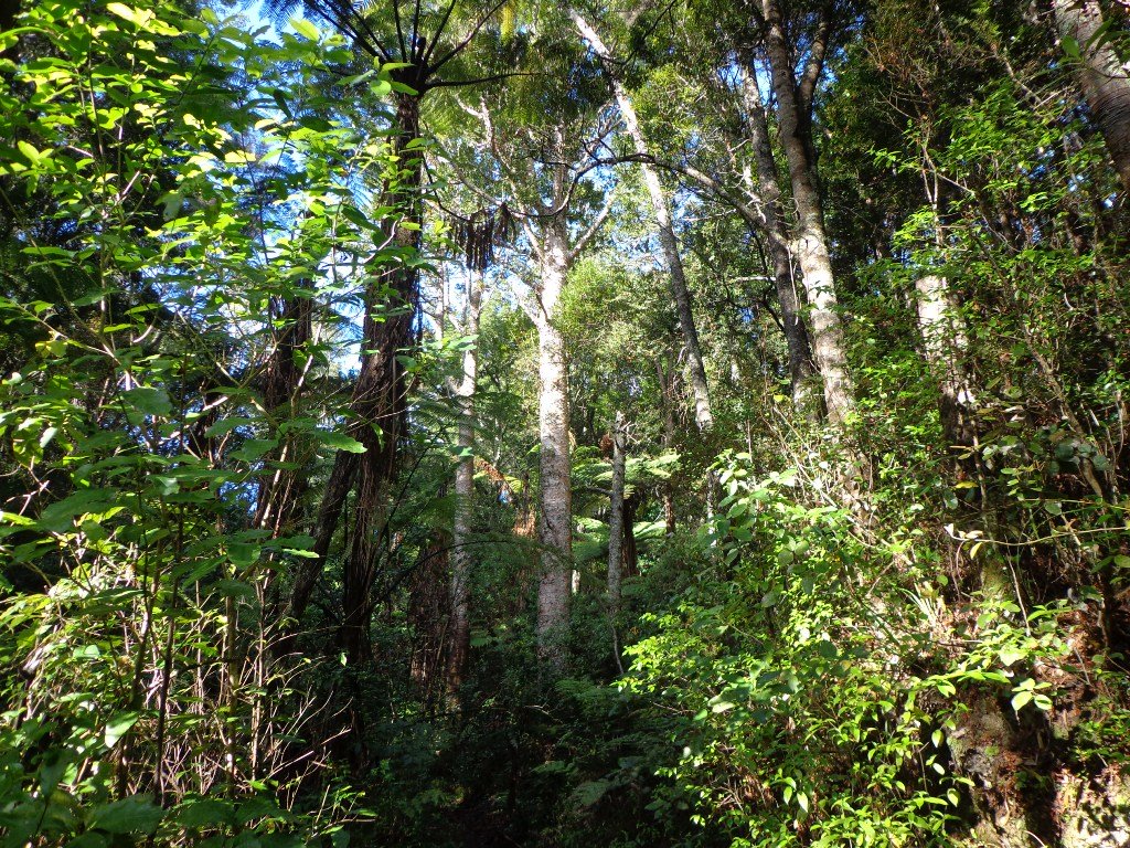
Description: Mostly level paths with some steps and one steep climb. Suitable for most ages and levels of fitness and mobility, designed with flat shoes or running shoes in mind. Not suitable for pushchairs. Not recommended at high tide.
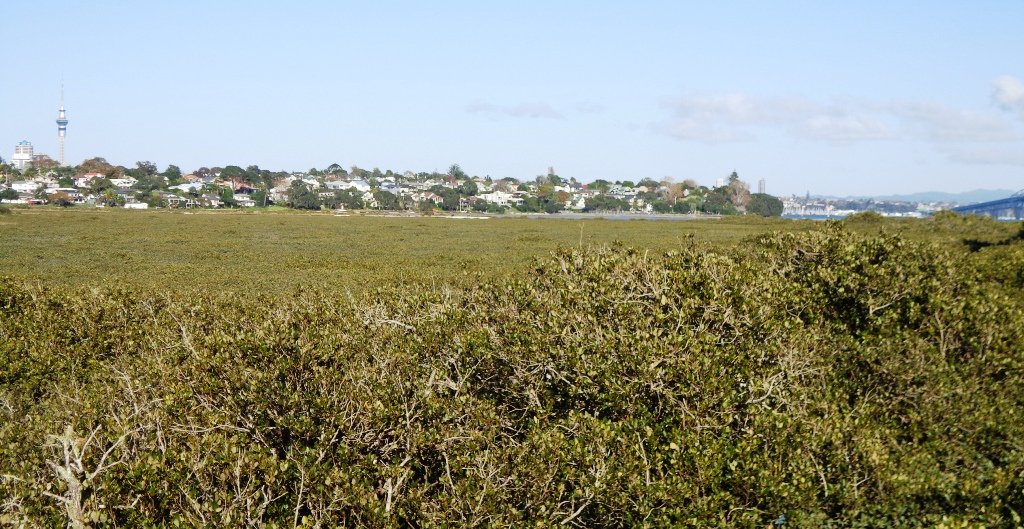
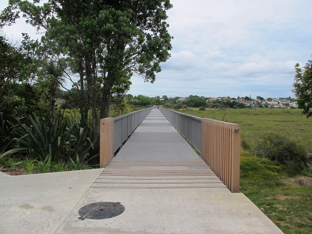
To see: Coastal views.
Time: approx. 80 minutes (about 6.65 kms).
Parking:  View Road, Campbells Bay. MAP

Stay on track… Find this walk (AN-098 Mairangi Bay Loop) and other walk brochures with map and directions at our Walk Store

Beach Haven Coastal Walk

The Beach Haven coastal walk on Auckland’s North Shore hugs to the coastline with views to Bayview, Hobsonville Point and the bush that runs alongside the Upper Harbour Highway. The route follows Hellyers Creek, then all the twists and turns of the small mangrove-filled inlets, and through trees filled with birdsong.

Beachaven Coastal walk © 2011-2013 Unleashed Ventures Limited

Today was rainy and windy – the yachts sailing out from Hobsonville Point were making the most of the winds.  But we were sheltered by the trees and small gullies.

This walk begins at the Community Creche entrance to Shepherd’s Park, where there is a children’s playground  a cyclists learning track and a fitness trail, as well as sports fields. The signs indicate that dogs must be kept on-leash (but we did see dogs off leash along coastal walkway).

If you wanted to make this a day outing, you could catch a ferry from Britomart to Beach Haven.  Bring a picnic lunch.

Description: Bush track, steps, inclines. Muddy in places when wet. Suitable for users of average fitness and mobility.
To see: Native bush, views across Auckland Harbour, native birds.
Time: approx. 60 minutes. (about 5.0 kms)
Parking: Beach Haven Community Creche carpark.
Buses: Tramway Road stop on Beach Haven Road.
Ferry: to Beach Haven MAP

Cafe suggestion: CAFE AU BON COIN CAFE PATISSERIE

Stay on track…find this walk’s map and directions guide (AN-084 Beach Haven Coastal Walk) and other walk self-guides at our Walk Store.

Bayview Giant Kauri Walk

***** ATTENTION Kauri Dieback has been identified on Auckland’s North Shore. Auckland Council will look to close tracks soon. As this Kauri tree in Lynn Reserve is the largest Kauri on the North Shore, and of significance to our community, you are asked to not visit this track. When walking near any Kauri, your shoes must be so clean you could ‘kiss’ them. Please protect our Kauri. The best way to help is to not walk near them.
Danielle Grant – Deputy Chair Kaipatiki Local Board ****

Bayview Giant Kauri tree © 2011-2013 Unleashed Ventures Limited

We returned to Bayview on the North Shore to complete a circular walk in a different direction to our previous Bayview Coast and Bush Walk.

Today’s walk starts off in Lynn Reserve, and heads up a bush filled gully with a small stream, to a giant Kauri tree (over 2 metres in diameter and is said to be about 800 years old) among a grove of smaller kauri trees which are growing in Leigh Scenic Reserve.  It is awesome!

The route joins up with the Glenfield Coastal Walkway and heads around to the boat ramp and Manuka Reserve at the bottom of Manuka Road.  Hearing the song of the tui birds as we slowly walked up the incline of Manuka Road gave us great encouragement.

This walk through the bush and along the Upper Harbour coastline is not only beautiful, it provides a great workout if you are into fitness. It is also a fun family walk that includes two children’s playgrounds, plus dog off leash exercise areas.

The new playground at Lynn Reserve looks great, and in the week since we last visited, a children’s ‘learn to cycle track‘ has been installed.

***Please note: September 2018 This track has been temporarily closed due to Kauri Dieback

Description: Bush track, steps, inclines and board walks. Muddy in places when wet. Suitable for users of average fitness and mobility.
To see: Native bush, including Giant Kauri, small waterfalls, views across Auckland Harbour to Hobsonville Point, native birds.
Time: approx. 75 minutes. (about 5.8 kms). Dog off leash areas. Three children’s playgrounds.
Parking: Lynn Road, Bayview near Glenfield.
Buses: 111 Lynn Road, Bayview MAP

Bayview Coast and Bush Walk

Today we set out to explore the Bayview area near Glenfield on Auckland’s North Shore. What a wonderful surprise to find a beautiful bush walk, alongside the Upper Harbour reaches, all part of the Glenfield Coastal Walkway.

Manuka Reserve © 2011-2013 Unleashed Ventures Limited

The walk takes in Manuka Reserve with views of the upper harbour, Hobsonville Point and native bush. Not only are there stands of manuka trees (tea trees) beside the estuary, but inland within Leigh Scenic Reserve, there are kauri trees and palms.

This circular walk is mostly bush with only a small section of street footpaths.  It is suitable for families, with two places to stop at playgrounds. Dogs must be kept on leash.

Description: Bush track, steps, inclines and board walks. Muddy in places when wet. Suitable for users of average fitness and mobility.
To see: Native bush, small waterfalls, views across Auckland Harbour to Hobsonville Point, native birds.
Time: approx. 60 minutes. (about 5.0 kms). Dogs on leash. Two childrens playgrounds.
Start: Lynn Road, Bayview near Glenfield. MAP

***Please note: September 2018 This track has been temporarily closed due to Kauri Dieback

Stay on track…get your detailed guide and map (AN-080 Bayview Bush Walk)over at our Walks Store  and our Book Store (one of 12 walks featured in our books “Urban Bush” and “Dog Friendly Walks part two”).

Takapuna to Milford Loop Walk

Copyright 2011-2013 Unleashed Ventures Limited

Many walkers on Auckland’s North Shore will be familiar with this route.  We start  off from the boat ramp at Takapuna, head along the shore line over sand, rocks and narrow pathways; past beautiful houses that overlook the Hauraki Gulf and Rangitoto Island to Milford, where we head inland along the marina before returning to Takapuna.

This walk suits sure-footed folk, and you would want to avoid high tide and stormy seas.

Dogs – Takapuna Beach is an off-leash exercise area 24/7 in winter, but only before 10am and after 6pm during daylight saving.

Description: Partly rocky and narrow seaside pathway. Slippery when wet.  Avoid at high tide and stormy weather. Suitable for users of average fitness and mobility.
To see:  Hauraki Gulf, beaches, marina, residential homes.
Time: approx. 75 minutes. (about 6.22 kms)
Parking: Takapuna Boat Ramp, The Promenade
Buses: Hurstmere Road, Takapuna (MAP)

Stay on track…find this walk’s map and directions guide (AN-077 Takapuna Milford Loop) and other walk self-guides at our Walk Store.

Takapuna Explorer

Our walk around Takapuna on Auckland’s North Shore was in warm winter sunshine.  It was great to see so many people out walking – some with their dogs off-leash on the beach (check out the Council dog rules), making the most of the day.

Takapuna Beach Auckland Copyright Unleashed Ventures Limited 2013

We followed a route documented by Margaret Scrymgeour from her booklet “Explore the Shore”. This walk takes in the sandy shore as well as the mangrove filled estuaries. The walk is quite undulating, so gave us a good workout. The views of Rangitoto are stunning, and we also enjoyed the view to Auckland City, Mount Eden and the Harbour Bridge.

Description: Mix of flat and undulating paths. Suitable for users of average fitness and mobility.
To see: Takapuna Beach, Rangitoto, Mangrove, native birds, ducks
Time: approx. 90-120 minutes. (about 8 kms)
Start: Takapuna Boat Ramp, The Promenade  MAP

Coastal part 2

Stay on track…get your detailed guide and map (AN-075 Takapuna Explorer) over at our Walks Store  and our Book Store (one of 12 walks featured in our book “Coastal part 2”).

Belmont Bay Walk

This Belmont Bay walk on Auckland’s North Shore, was chosen by my friend after she read an inspiring article about the founder of the Belmont cafe “Little & Friday“.

View of Auckland Harbour Bridge from Belmont

This was my first explore around the Belmont and Bayswater area and was delighted to find reserves, cycleways, playgrounds and views of the Harbour Bridge with the Waitakere Ranges as a back drop.

The walk itself takes under an hour, and is mostly flat. One of the highlights is crossing the Bayswater Bridge (the new cycle/pedestrian bridge completed September 2013 – officially opened 5th October 2013, made with recycled totara timber balustrades).

Dogs – On-leash but lots of opens spaces.

Coastal walks in Auckland part two

Description: A mix of level paths and slightly inclined paths. Suitable for users of average fitness and mobility.
To see: Estuary views, wetlands, residential housing, Auckland Harbour Bridge

Time: approx. 45 minutes. (about 4.00 kms). Playgrounds.

Start: Corner Eversleigh Road & Rutherford Street  MAP

Stay on track…get your detailed guide and map (AN-058 Belmont Bay Walk) over at our Walks Store  and our Book Store (one of 12 walks featured in our books “Coastal part 2” and “Dog Friendly part 1”).

Walking with children on bikes and scooters

Walks in AucklandRecently a friend enquired about doing walks in Auckland with young children who like to ride bikes and scooters. This can be a lot of fun for the kids, and is a great way to get them into outdoor activities  while adults get their exercise and fresh air too.

Be prepared to carry the bike/scooter and also make sure your children know how to stop on downhill slopes (and warn them about how to use their muscles to go up hills!). Good idea to have a first aid kit handy and some water and snacks to keep up the energy!

The important thing to look for is mainly flat wide paths, so with that in mind here are a few ideas:
Cornwall Park * – the circular path does have hills
Western Springs – take some bread to feed the ducks!
Albany Lakes Civic Park – An urban oasis, this 6.4ha Albany Park has an art bridge, water features, an outdoor staging area and two large storm water lakes.

Waiaturua Reserve – Wander over wide open spaces, enjoy the beauty of the wetland environ or explore pockets of bush. With wide pathways established for walking and jogging and a landscape that includes extensive native planting. See more of Waiaturua Reserve.

Watercare Coastal Walkway – 7kms one-way from Ambury Farm to Otuataua Stonefields
Henderson Creek Cycleway
Opanuku Walk & Cycleway  – Twin Streams Walk & Cycleways Fun Map
Te Atatu Peninsula Walkway *
Pikes Point/Onehunga Foreshore walkway – Southdown to Mangere
Sanders Reserve
Onepoto Basin

(Those marked with an * are currently included in Short Walks in Auckland self-guides.)

More ideas from the NZ Herald here

And some other great bike rides for when the children are older – Bicycle Culture on Auckland’s North Shore.

If you have another suggestions, please share and post in the comment box below. Thanks!

Have fun!walks in Auckland