Category Archives: Auckland Volcano walks

There are over 50 volcanoes in the Auckland region. Many are accessible and the walk paths provide views of the city and environs. Here we list some varied crater and volcano walks in Auckland.
We have compiled a selection of 12 volcano walks into a book which is available from Amazon and your lcoal library.
For detailed information on Auckland’s volcanoes and carters, we recommend the book ‘Volcanoes of Auckland: The Essential Guide” by Bruce W. Hayward, Graeme Murdoch and Gordon Maitland

Pigeon Mountain Volcanic Cone

One of Auckland’s less known and visited volcanic cones, Pigeon Mountain (Ōhuiarangi) is worth exploring. This is Auckland’s easternmost volcanic cone and offers fantastic views of the Hauraki Gulf and back across Auckland City. It provides a very unique perspective of Auckland’s geography and at only 55m in height is not a daunting climb.

Pigeon Mountain Ōhuiarangi
Pigeon Mountain Ōhuiarangi fields and view towards the summit
Continue reading Pigeon Mountain Volcanic Cone

Historic And Spectacular Mangere Mountain

Mangere Mountain and Domain are one of Aucklands true gems to explore. It is full of spectalular views of Aucklands Harbours and City, as well as many geological and history highlights.  Our recommended route requires a good level of fitness as the loop encounters a range of steep slopes and uneven terrain.  There is a good pathway to the summit on a braod track suitable for buggies if you walk the route clockwise, however this is only out & back and misses many interesting features of this mountain. 

Landscape view of Auckland from Mangere Mountain
Views of Auckland from Mangere Mountain

Continue reading Historic And Spectacular Mangere Mountain

Rangitoto island

One of Auckland’s iconic landmarks, Rangitoto Island is an amazing day out. Arrive by ferry or private boat and explore, The 360-degree views of Auckland and the Hauraki Gulf from the summit are spectacular. There are plenty of other walking tracks if you are keen to explore further and short lava caves that are worth investigating.

Walk Time1.5 – 2 hours return to summit, plus side walks.
1/2 day to full day to circumnavigate the island.
SurfaceFormed track – lots of loose, fine scoria
Difficulty3/5
Buggies/Wheelchairs0/5 – most tracks not suitable. Vehicle Road is ok.
FacilitiesToilets
HighlightsViews, Lava Caves, Bush, Geology, Swimming

Get there by Ferry, your own boat or kayak!

Catch a short ferry ride from the Auckland Downtown or Devonport Ferry Terminals. Click here to access Fullers Ferry information and purchase tickets.

Fullers Ferry takes you to Rangitoto Island
Fullers Ferry takes you to Rangitoto Island (photo from HERA)

What to see and do?

Rangitoto Island is one of Aucklands most famous volcanoes, seen from many parts of the Auckland Isthmus. Its impressive ’round’ shape and obvious volcanic look make it instantly recognisable.

Rangitoto feels like a volcanic island. The black, rough scroria rock is all around and the many shapes of hard set lava are spectacular and at times dangerous looking! These days the bush has grown a lot on Rangitoto Island, making it a more pleasant and quite stunning
walk, even on hot days.

Walking through native bush on  Rangitoto Island
Walking through native bush on Rangitoto Island

Top suggestions to see:

  • Spectacular views of Auckland City and the Hauraki Gulf from the summit
  • Volcanic rock and formations
  • NZ Native bush
  • Lava caves – some which you can explore – they are only about 30-40m in length and marked on the map above
  • Swim – there is a lot of rocky coastline but the water is beautiful in summer!  You can take the trek to Islington Bay for a sandy beach but this is up to 2 hours!  I will add this to the Google Map when I get the chance to GPS the other tracks.
  • View the remaining historic and original waterfront cottages.
  • Swimming – brave the rocky rugged coastline for a dip or swim at sandy MacKenzie Bay and Islington Bay.

You will want to allow at least half day for exploring this amazing and unique island and can easily take a full day to circumnavigate the island and take in the summit.  Some of the bush is so beautiful and the views back towards Auckland give a unique and picturesque perspective. 

Rangitoto Island Elevation to the summit and the Lava Caves (far right point)
Elevation for the around the Island Track, finishing prior to returning to the wharf

Walking Difficulty and Suitability

Rangitoto is a steady walk and requires average fitness and steadiness on your feet.  It is not suitable for wheelchairs or baby buggies, having stairs.  Underfoot, the scoria can be slippery but fine if you stay aware.

Walking to the summit (260m) is uphill all the way.  There are plenty of beautiful views you can take in to have a break if needed.  It can also get hot – so have plenty of water, along with some snacks. 

There is also plenty of options for easy walks if a person uses the Vehicle Track around the perimeter of the island.  Once off the vehicle track, the routes are generally quite steep and unsteady.

Wheelchair and Buggie Suitability

Rangitoto is generally not suitable for wheelchairs and Buggies unless you stay on the Vehicle Track. This is a dirt road and gets reasonably close to the summit but a 20 – 30 min walk up stairs and steep hills will still be required to reach the summit.

Browns Island auckland

View of Browns Island Crater and Hauraki Gulf
View of Browns Island Crater

Wow – Browns Island in Auckland Harbour – what a cool little island to visit. Browns Island is a small volcanic island that you can visit for an hour or a full day. Rising to 65m above sea level, the views of Auckland City and the Hauraki Gulf as you climb are superb.

Integrated GPS Map of Browns Island

Find tips on how to use this Google GPS Map

Get there by boat, kayak or paddle board

Browns Island is close to Auckland’s mainland. Launch a boat at Halfmoon Bay or another closeby spot or kayak or paddle board from one of the nearby beaches. Crater Bay at the northeast corner is a great landing spot for small boats – it is a good deep water beach – 1.9m of water at half tide only 20m from the beach. We beached our front and unloaded and then anchored about 25m off the beach.

Kayaks and Paddle Boards may want to access via the shallow beach on the southwest side.

What to see and do?

Browns Island Auckland is a fascinating small volcano in the Waitemata Harbour that deserves to be explored. It is mostly grassy paddocks that can be freely walked. Some highlighyts are:

Browns Island Auckland View
View of Auckland City from the summit of Browns Island
  • Climb the volcanic cone to the trig to get a great 360 degree view of Auckland and the Gulf. The volcano is also very defined and worth a look!
  • Walk the circumference of Browns Island
  • Visit the shipwreck on the Southwest beach
  • Examine the three types of volcanic structures present on Browns Island – the only volcano in Auckland to have all three types.
  • Swim at Crater Bay – the water is clear and deep with a nice little beach
  • Search for fossils

Walking Difficulty and Suitability

That walking tracks on Browns Island are largely unformed tracks that just wander through the grass. There are stairs ascending from Crater Bay towards the volcanic cone.

The walk to the summit is short but quite steep – suitable for most, except those who are unsteady on their feet. The island is not suitable for buggies, pushchairs or wheelchairs.

This is a fascinating book on Auckland’s 50 volcanoes. Learn about the prominent, obscure and unexpected. Discover locations, history and geology.  Great book to add to your Auckland collection.

Auckland Nature Walks

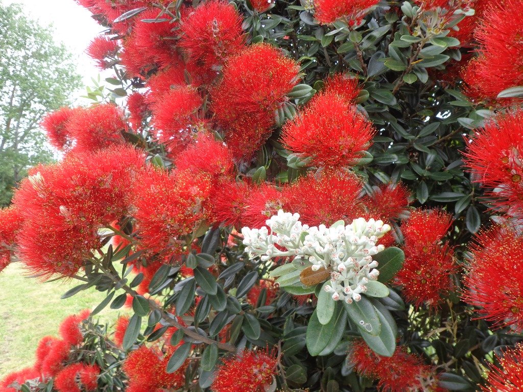
We have complied four books of short circular nature walks in Auckland that help you to discover volcanoes, native bush and the vast coastal areas. These short walks are great for young children to learn about the environment, to appreciate what they can discover when they go out walking, and to obtain the pleasure of walking.

These four “Nature Walks” books are now available on Amazon and from your local Auckland library.
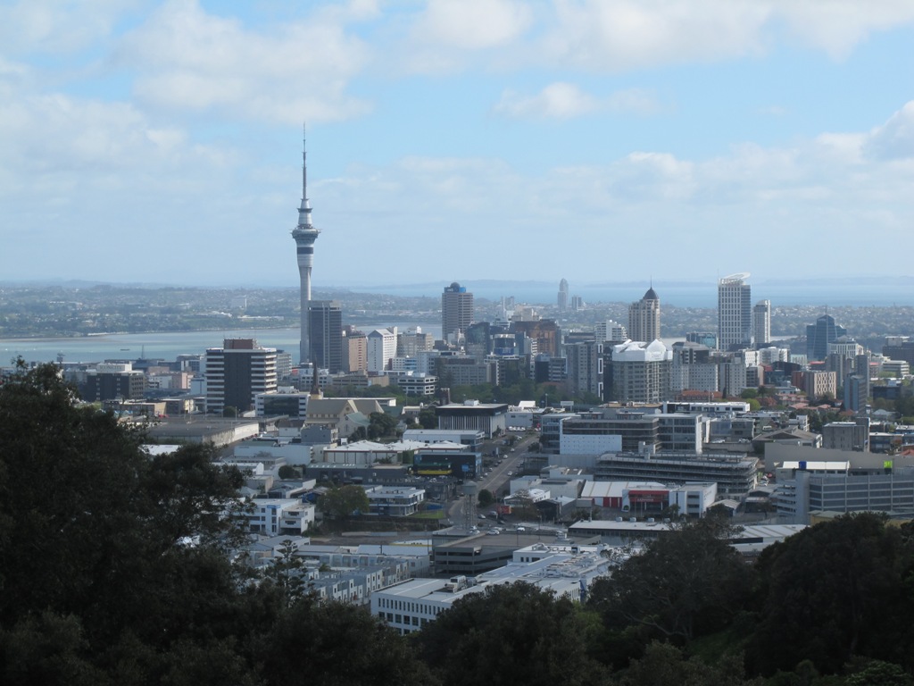
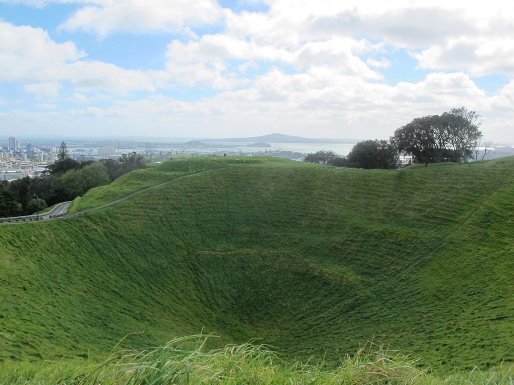
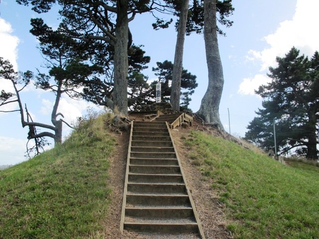
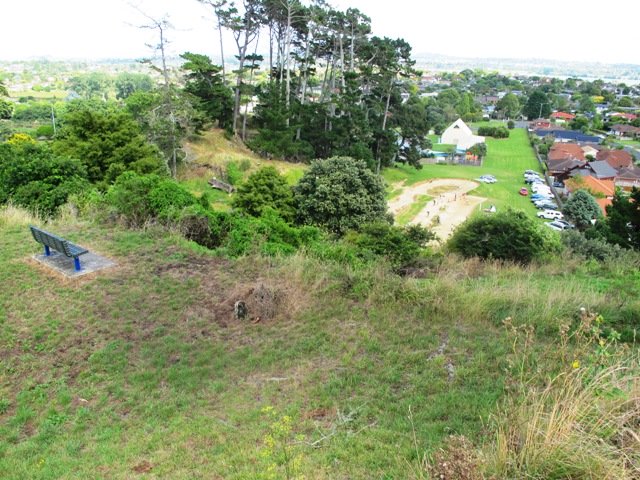
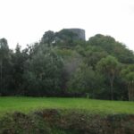
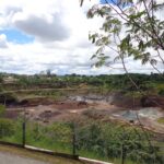
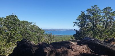
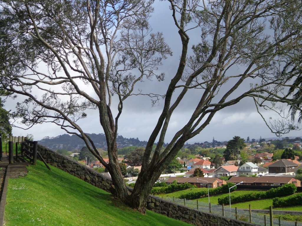
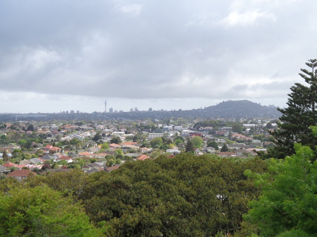
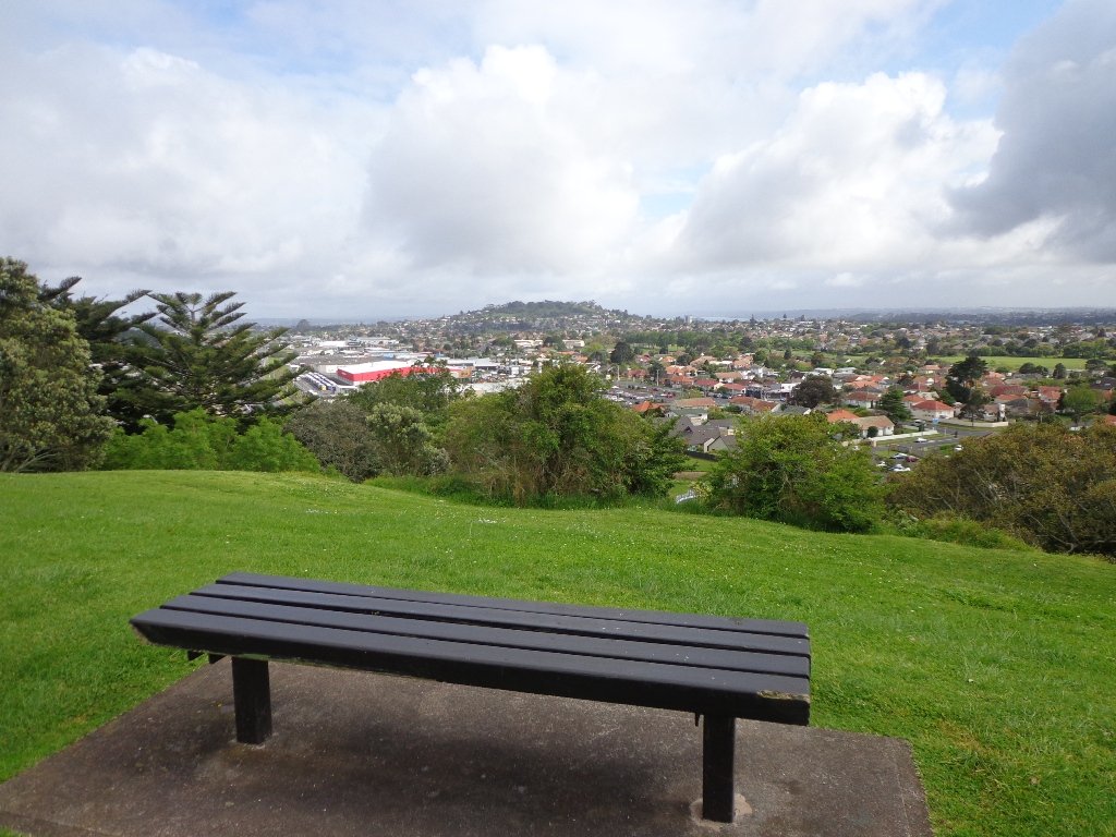
Volcano Walks in AucklandVolcanoes
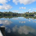
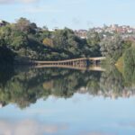
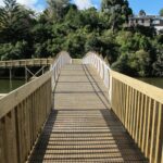
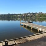
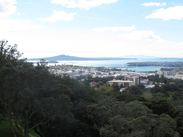
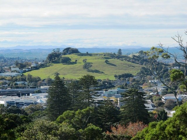
The twelve volcano sites that we visit are: Three Kings, Glover Park, Lake Pupuke, Mangere Mountain, Mount Eden, Mount Victoria, Mt Albert, North Head, One Tree Hill, Orakie Basin, Pigeon Mountain and Meola Reef.
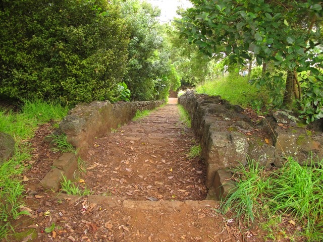
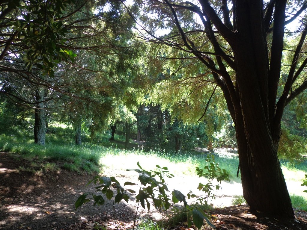
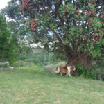
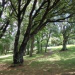
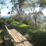
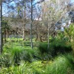
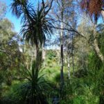
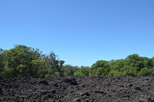
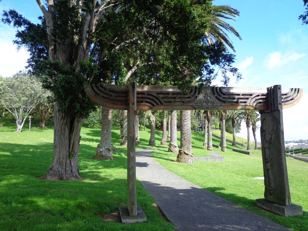
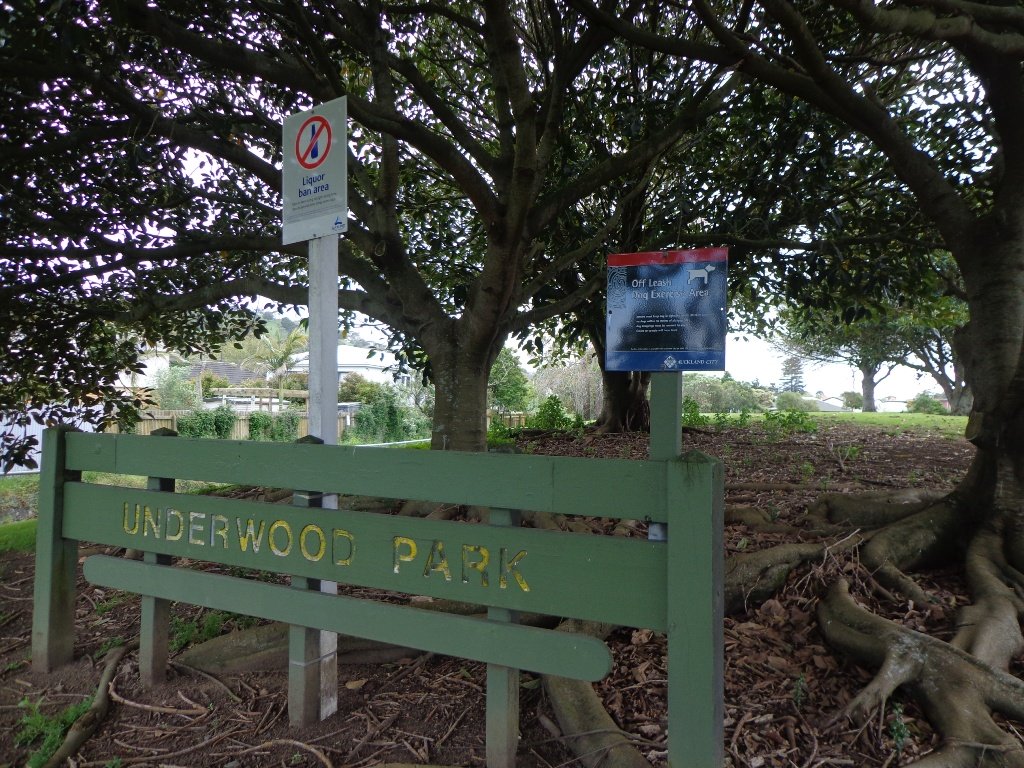
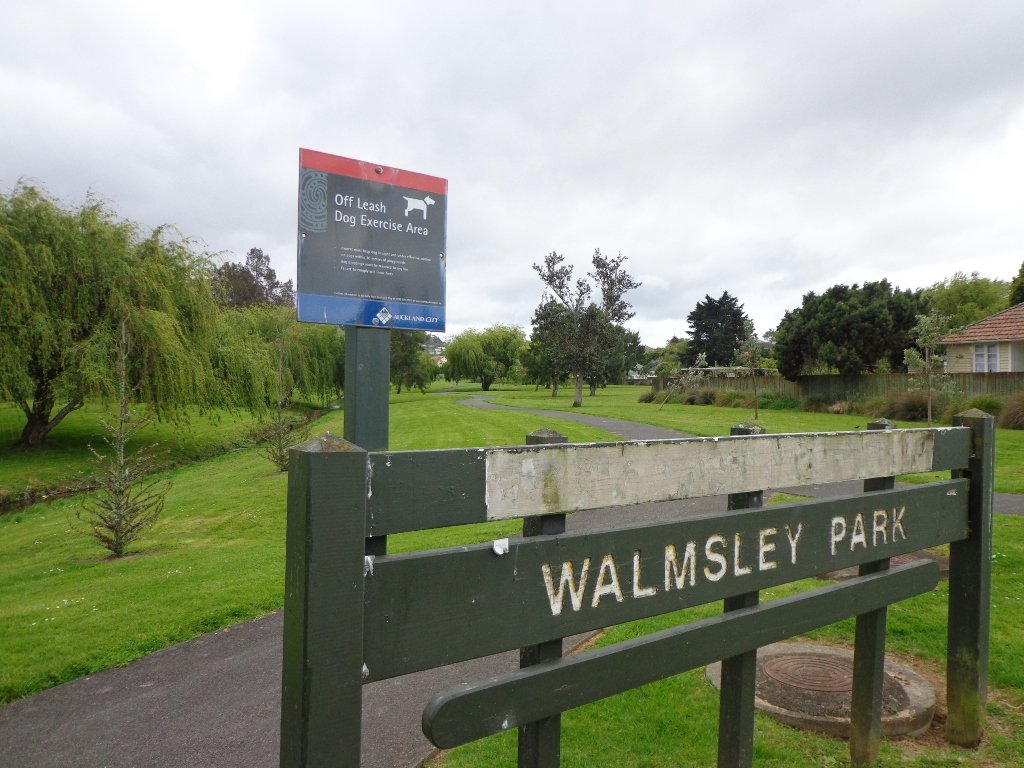
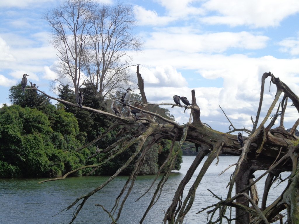
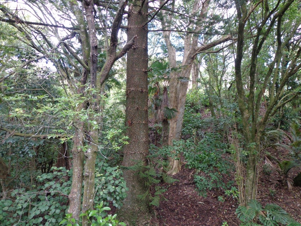
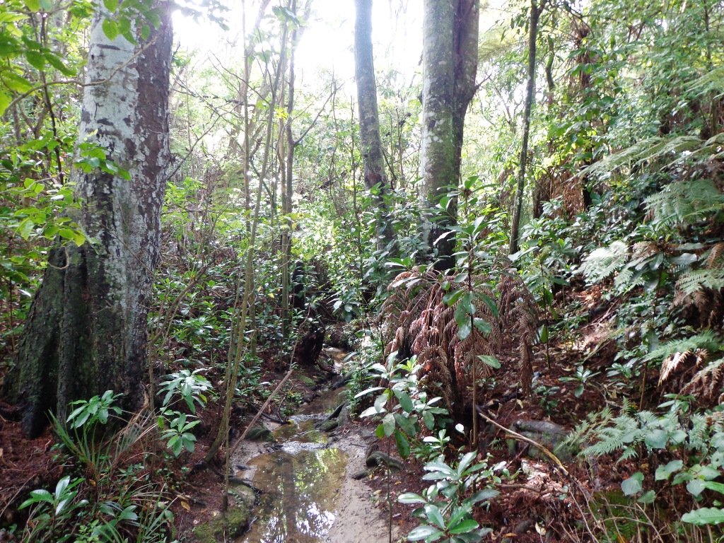
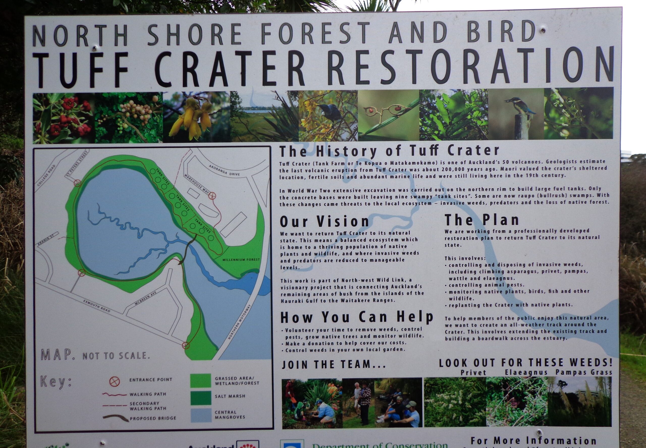
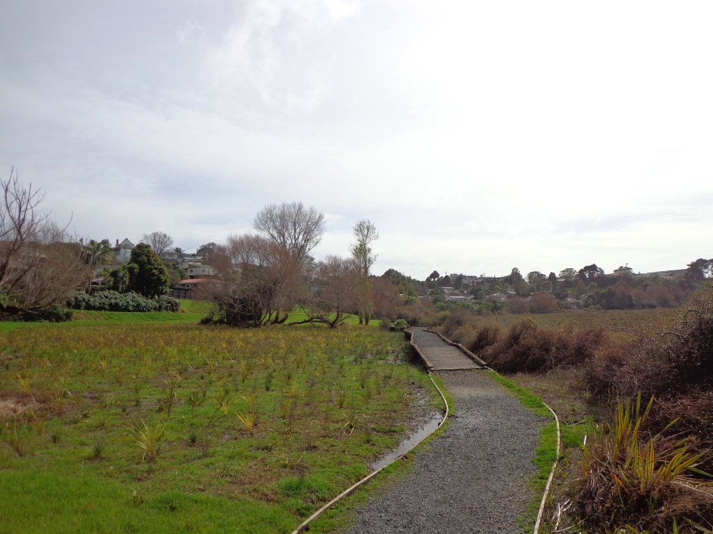
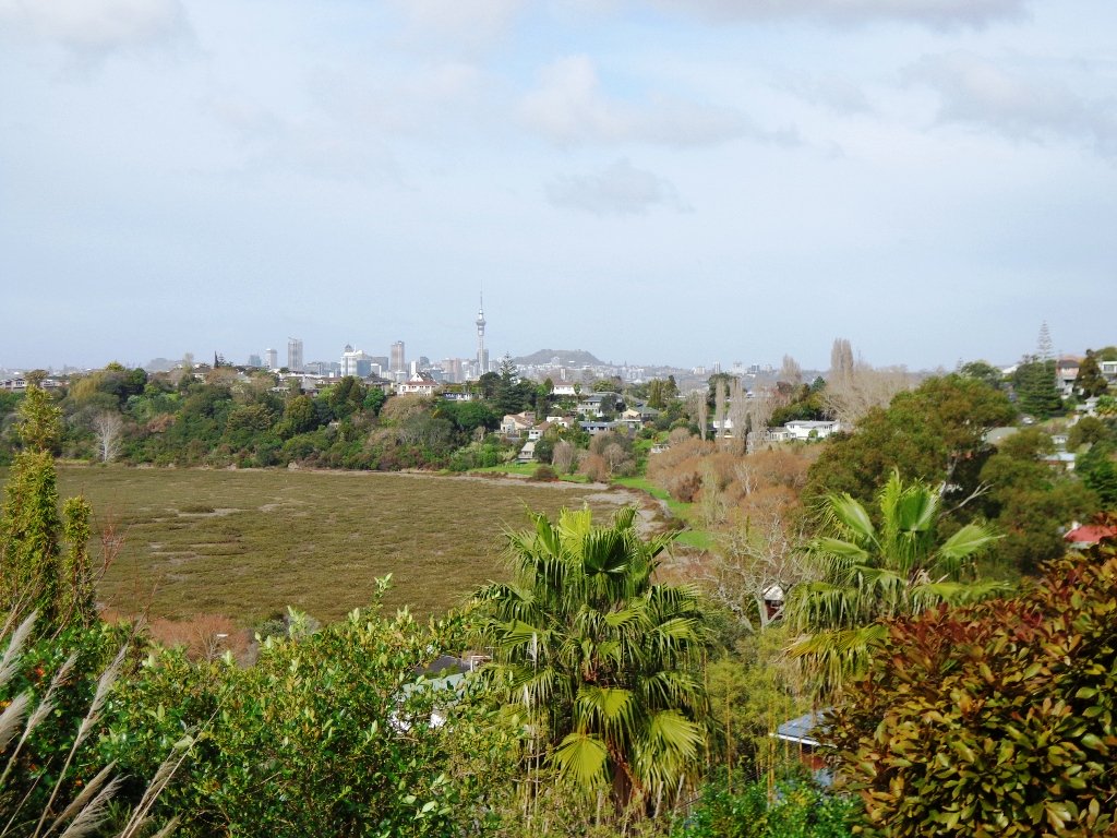
Urban Bush walks in AucklandUrban Bush
How many cities do you know that still contain the native bush? The twelve native bush areas we visit are: Bayview, Blockhouse Bay, Dingle Dell, Hillsborough, Le Roys Bush, Moire Park, Oakley Creek, Opanuku Stream, Parnell Albaron, St Johns Bush, Tahuna Torea, Totara Park.
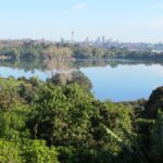
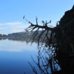
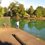
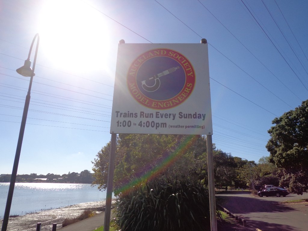
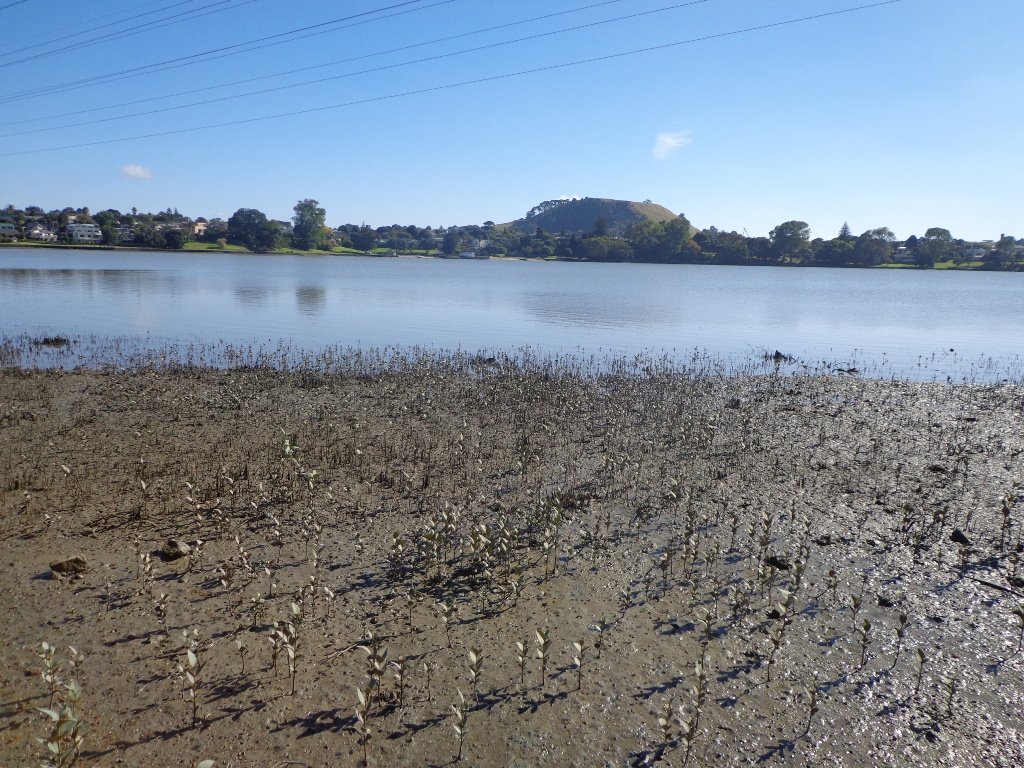
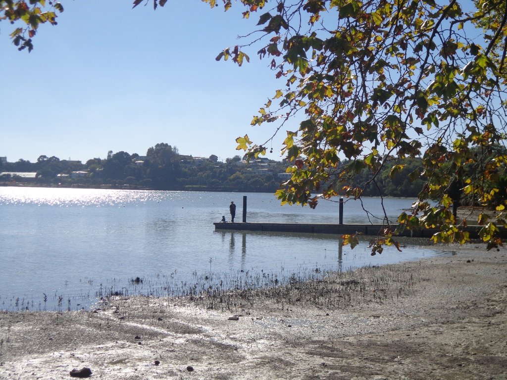
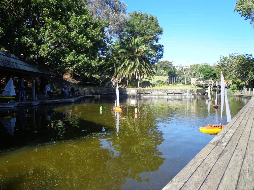
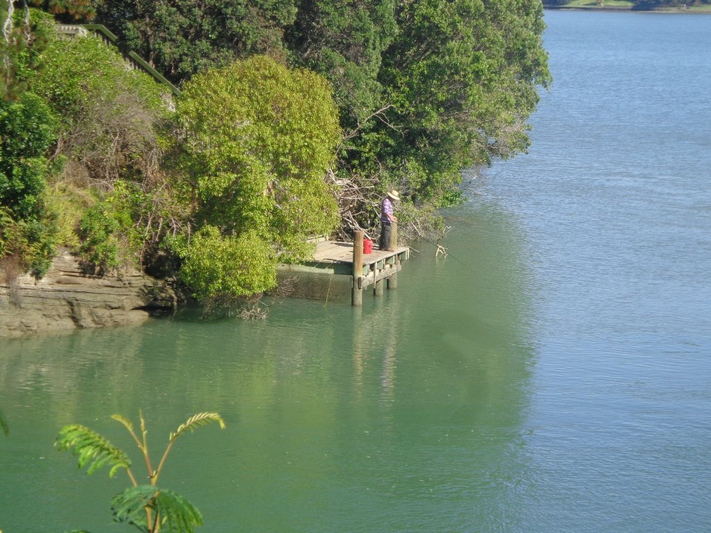
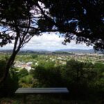
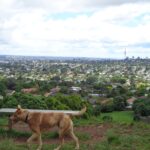
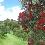
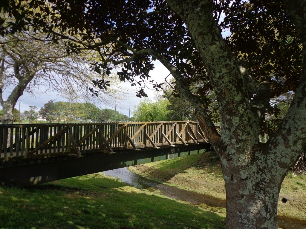
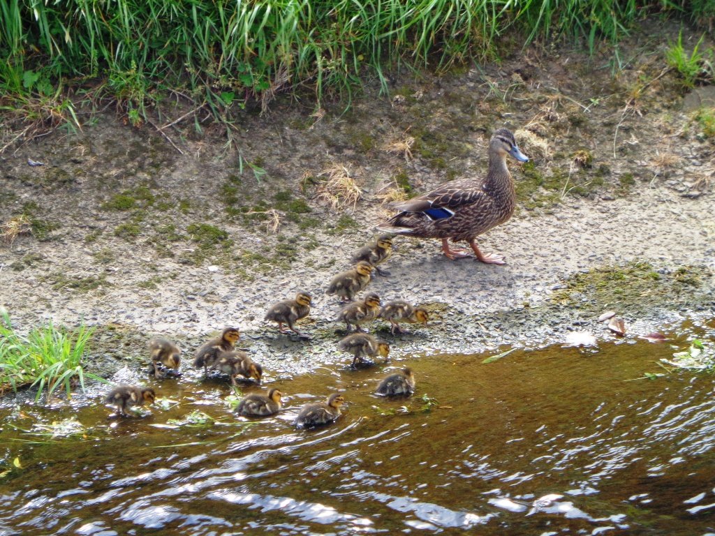
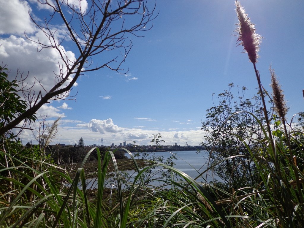
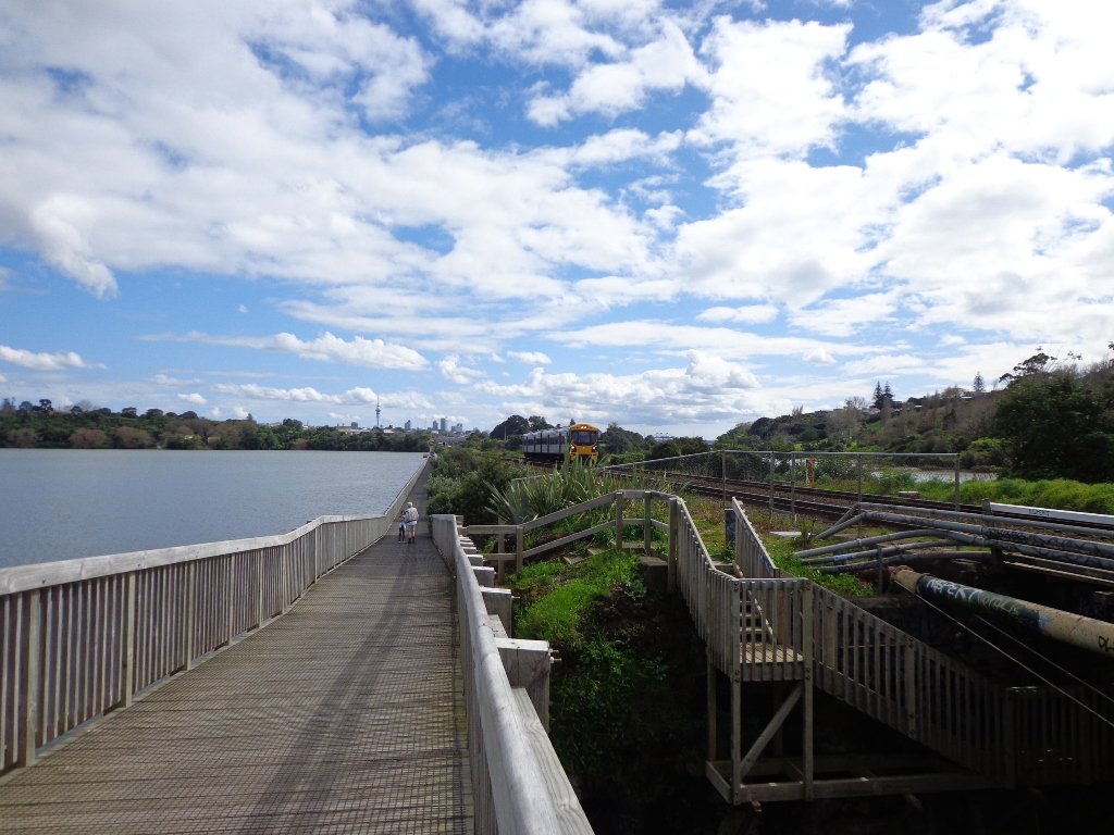
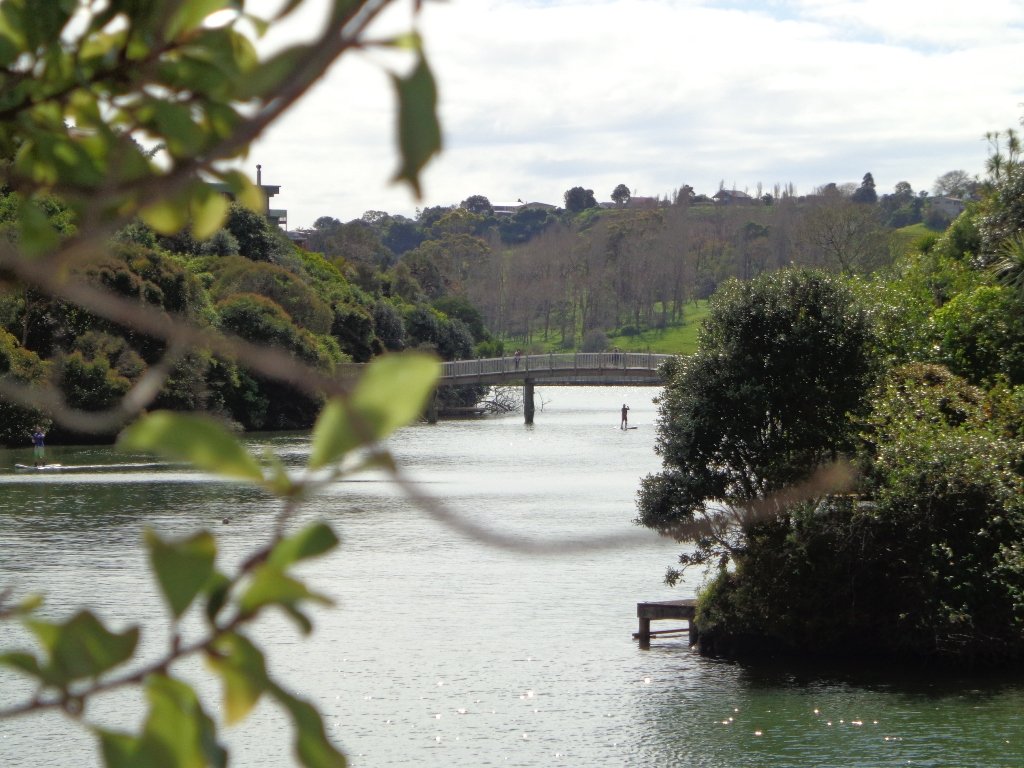
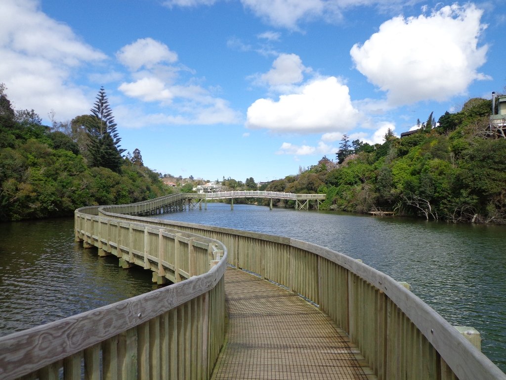
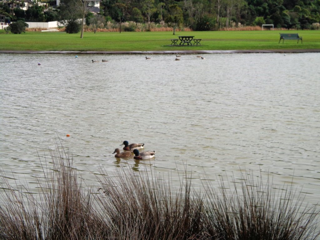
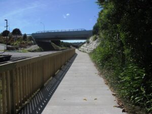
Coastal Walks
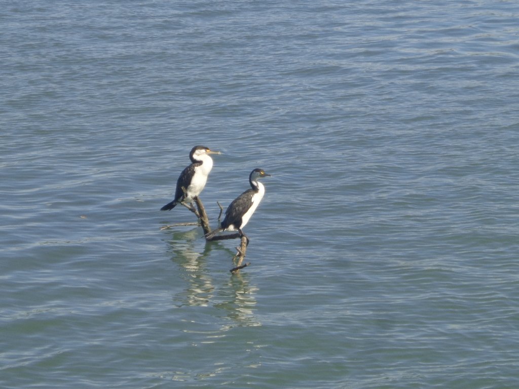
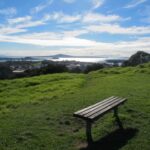
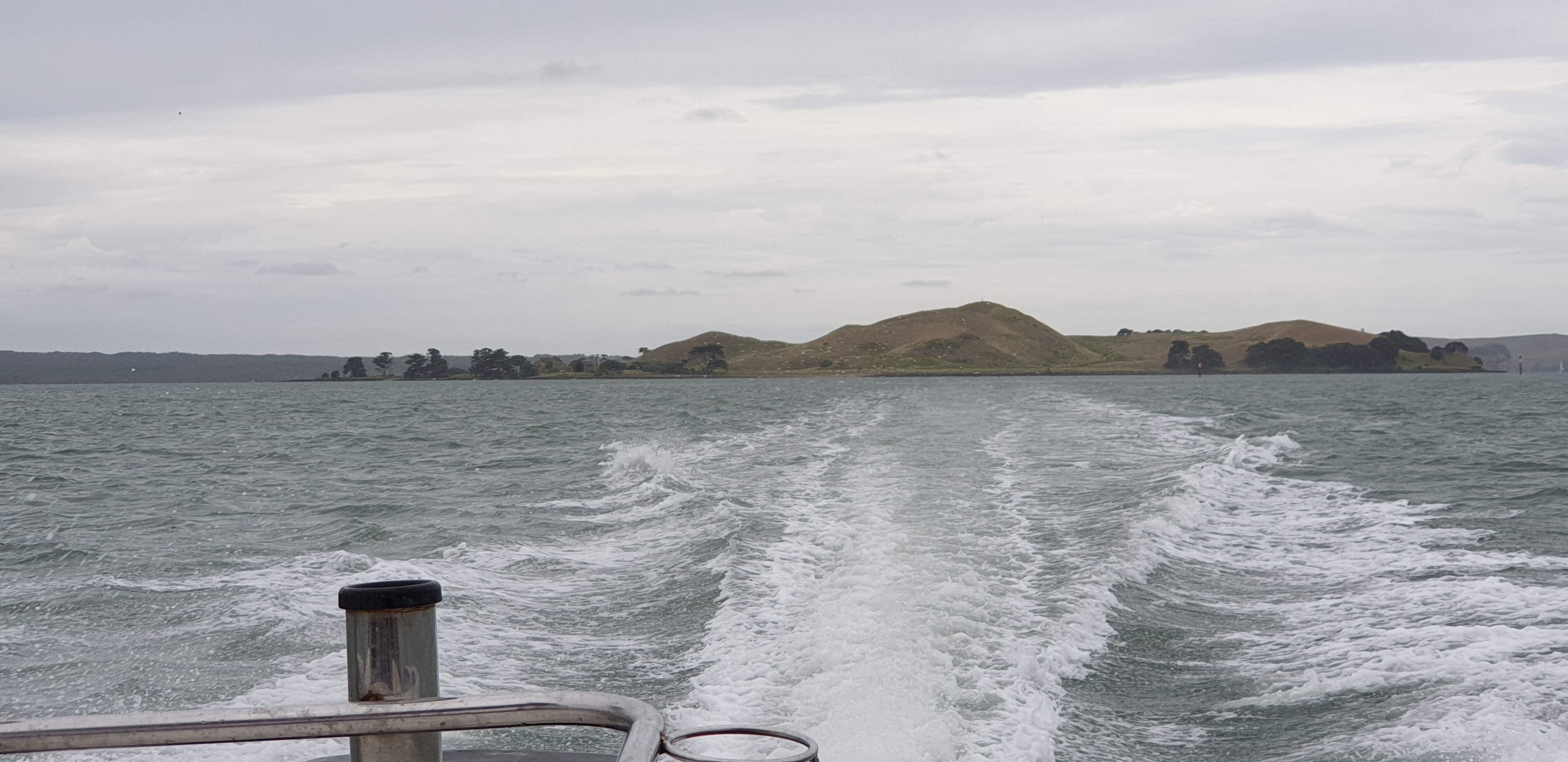
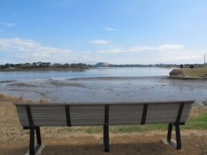
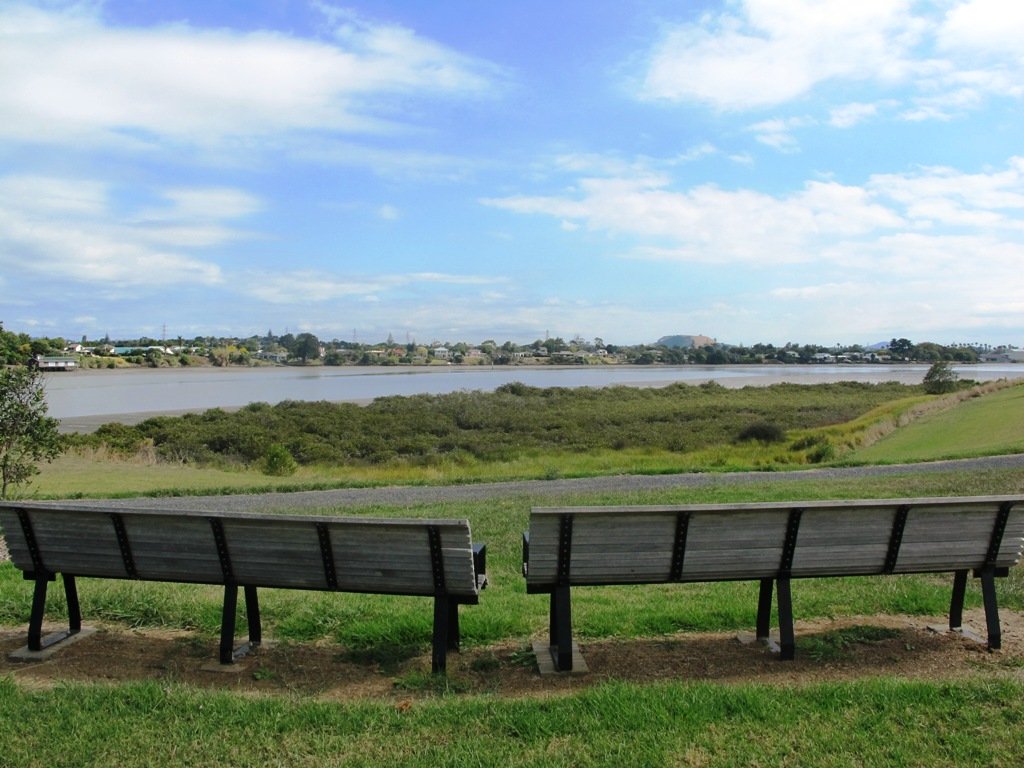
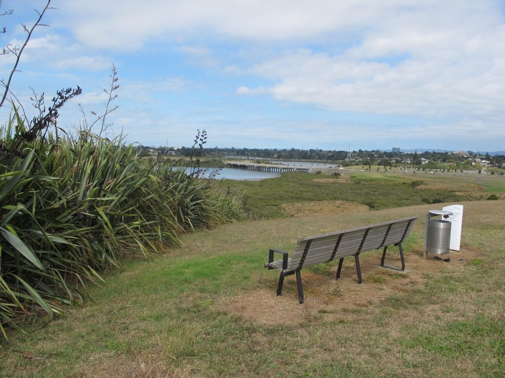
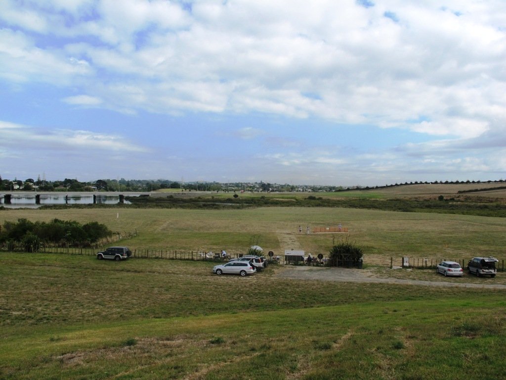
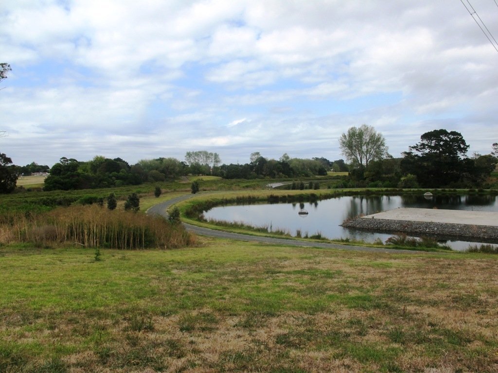
From inlets to harbours there are many coastal paths to explore.
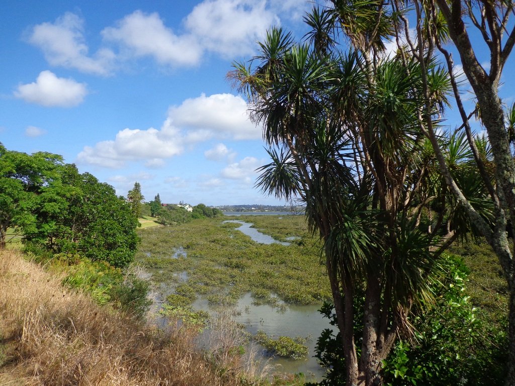
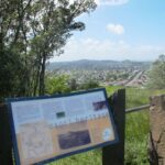
coastal walksin Auckland part oneCoastal Part one
The coastal areas we visit are: Ambury Park Farm, Blockhouse Bay Gittos Domain, Churchill Park, Hillsborough, North Head, Northcote Point, Parnell, Remuera to Hobson Bay, Tahuna Torea, Te Atatu Peninsula, Wattle Downs, Wynyard Quarter.
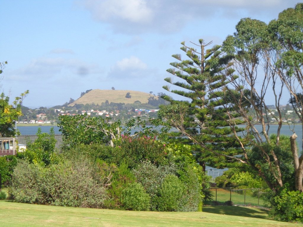
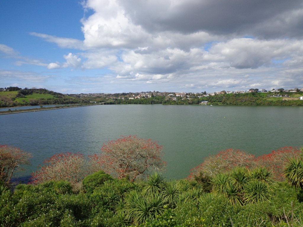
Coastal walks in Auckland part twoCoastal Part Two.
The coastal areas we visit are: Belmont, Conifer Grove, Half Moon Bay, Hobson Bay walkway, Mangere Esplanade, Mission Bay, Onehunga Foreshore, Point England, Point Erin, Takapuna, West Harbour, Meola Reef.

These four “Nature Walks” books are now available on Amazon, The Women’s Bookshop in Ponsonby and from your local Auckland library.
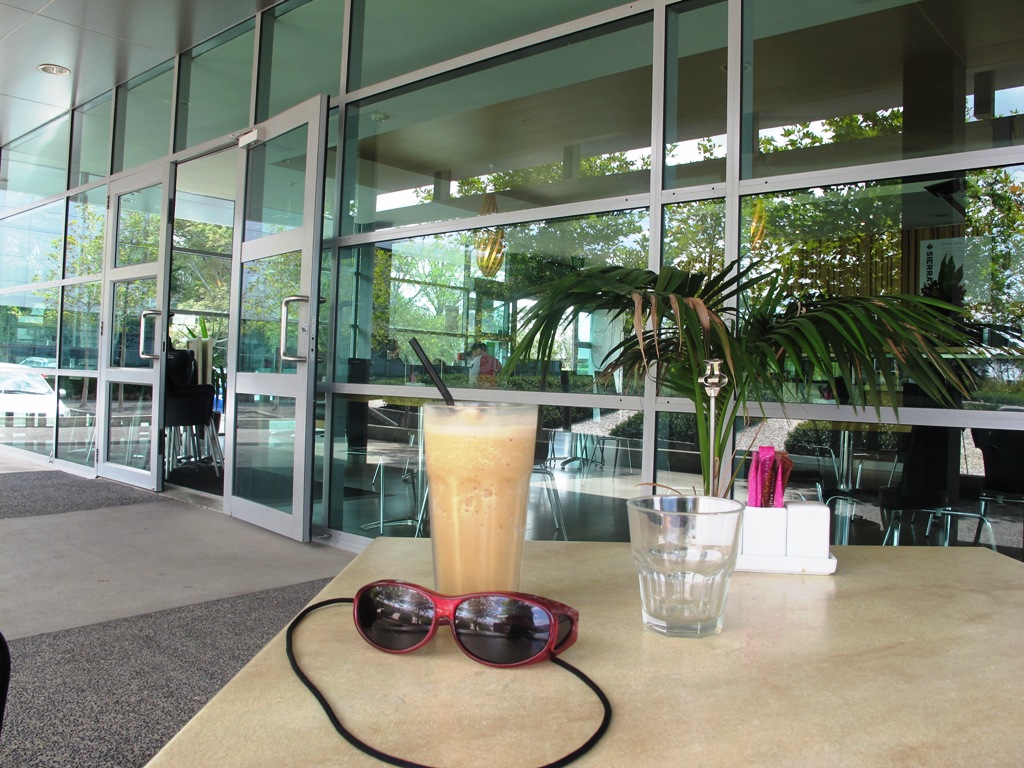
Mt Roskill Explorer

We had overlooked Mt Roskill as a place to walk and explore… until today.  The volcano double cone and twin craters of Mt Roskill have been destroyed through the installation of a water reservoir, but from the top it is easy to view Mt Albert, Mt Eden, Big King and One Tree Hill.

Mt Roskill © 2011-2013 Unleashed Ventures Limited

Our flat walk (if you choose not to walk up to the summit of Mt Roskill) links up three reserves – War Memorial Park,  Walmsley Park and Underwood Park. Take some bread to feed the ducks in Oakley Creek. The final part of the walk is at the colourful shops of Stoddard Road.

The walking route is also great for cyclists, prams/buggies and dog walkers (on leash and off  leash dog exercise areas in Walmsley Park and Underwood Park.).

We stopped for a very good coffee at an almost hidden Ethiopean cafe in the Tulja Centre called Cafe Abyssinia.

9th December 2013 – a new cafe has opened at 740 Sandringham Road Extension. Give your support to a community project – the Roskill Coffee Project.

Please note: An upgrade of Oakley Creek storm-water project has been proposed by the Local Board. If it goes ahead, there will be some disruption along this route within Walmsley and Underwood Parks from 2016.
Read about it here.

Description: Mostly level paths, steep paths ascent to summit of Mt Roskill. Suitable for most ages and levels of fitness and mobility, designed with flat shoes or running shoes in mind. Suitable for wheelchairs and pushchairs if Mt Roskill summit is avoided.

To see: Views of Auckland City skyline, Mt Albert, Mt Eden, Three Kings, One Tree Hill. Oakley Creek and ducks.
Time: approx. 90 minutes (about 7.5 kms).
Start: Corner of Sandringham Road extension/Stoddard Road.
MAP

Stay on track…find this walk’s map and directions guide (AC-093 Mt Roskill Loop) and other walk self-guides at our Walk Store

(Click on the photos to see an enlarged view.)

Orakei Basin Walkway extended

It’s been a while since we explored the Orakei Basin area.  The Auckland Council has done extensive work with the new boardwalks, repairing the slips on the bush track and concreting most of the walkway.

Families with young children would really appreciate having public toilets – there are none nearby. Either side of Lucerne Road there are steep inclines that could be unsuitable for parents to push a pram with their child in it, and also steep steps.

Orakei Basin Walkway © 2011-2013 Unleashed Ventures Limited

Today we explored extending the walk to include more of the surrounding suburb of Meadowbank – crossing bush-clad gullies and streams, the Waiatarua Bridge, the Orakei Creek Bridge and walking along Lucerne Road ridge.

This is a dog-friendly walk – the off leash area in the Orakei Basin Reserve between the waterski club and the carpark, is very popular.  The grassy area can be very muddy in the winter and gumboots are recommended.

Description: A mix of level and steep paths, steep steps. Suitable for most ages and levels of fitness and mobility, designed with flat shoes or running shoes in mind. Not suitable for wheelchairs and pushchairs.
This is a dog friendly walk with an off-leash area.(See other Dog Friendly Walks)
To see: Wonderful views of Mt Eden and Auckland City skyline. Small areas of bush. Railway track. Birdlife. Volcano crater.
Time: approx. 90 minutes (about 6.45 kms) or the shorter route 45 minutes (about 3.45 kms).
Parking: Near Kings Plant Barn, off Orakei Road near train station.
Buses: to Orakei Train Station
(Please note: no public toilets)

Suggested Cafés:Kings Garden Cafe does very good coffee (and lunches) as does Cafe Greenfingers at the Palmers Garden Centre

Stay on track…get your detailed guide and map over at our Walks Store  (AE-017 Orakei Basin Explorer) and our Book Store ( one of 12 walks featured in our books “Volcanoes” and “Best of the East”)

or…
You can download this free Orakei Basin walkway map from Auckland Council.

Northcote Tuff Crater Loop

This loop walk that takes in Northcote’s volcanic Tuff Crater and Onepoto Domain is based on one from Margaret Scrymgeour’s booklet “Explore the Shore”.

Onepoto Domain Northcote

We started the walk from the children’s playground area at Onepoto Domain.  We had heard about the children’s cycle track and it is a really safe place to bring young children and their bikes.  The playgrounds looks like a lot of fun too (it has a flying fox).  It is a great place to have a picnic, feed the ducks and an ideal spot for parenting groups to meet up.

Onepoto Basin is another of Auckland’s explosion craters and it is the oldest dated, erupting about 250,000 years ago. The Maori name “Onepoto” means small beach (named after Halls Beach near Northcote Point).

Tuff Crater is another explosion crater (this one is filled with water), which is being restored to its natural state with a balanced ecosystem of native plants and wildlife, all with volunteer help. It was formed by explosive eruptions around the same time as Onepoto.
For more information about the Tuff Crater, you may wish to view this video. (please note that our loop walk includes part of the Tuff Crater. There are future plans to build a circular walkway completely around the Tuff Crater).

Tuff Crater - dogs on leash only

Dogs may be off-leash on the track within the Tuff Crater Reserve (according to Auckland Council  Bye-laws Department re phone call 3/6/2014).  There is a risk that they could disturb endangered bird life, so please keep them under control.  We do have a request for dog owners to pick up litter (as we did come across litter).
PLEASE NOTE: As of the 29th October 2014 the new dog rules for Tuff Crater – Dogs prohibited within the foreshore (mangroves) of Tuff Crater; on-leash on track around reserve.

Description: Bush tracks, steps, inclines. Muddy in places when wet. Suitable for users of average fitness and mobility.
To see: Native bush, views across Auckland Harbour, native birds, volcanic crater
Time: approx. 60 minutes. (about 5.0 kms). Dog friendly, but on leash only.
Parking: Onepoto Domain, Northcote.
Buses: Onewa Road, Northcote MAP

P1 Dog friendly walks in Auckland

Google Maps for
Onepoto Domain &Tuff Crater

Stay on track…get your detailed guide and map  (AN-085 Northcote Tuff Crater Loop) over at our Walks Store and our Book Store (one of 12 walks featured in our book “Dog Friendly Walks part 1”).

Highbrook Park Loop

If you have been out to Highbrook Business Park in South Auckland, you may have noticed a walkway along the waters edge to the north.  This has intrigued my friend and I for some time, so today we set out to explore and work out a way to include it an interesting circular walk.

Mission accomplished and rewarded with a delicious iced coffee at Highbrook Park’s Sierra Cafe! **Update December 2014** There is now a further selection of cafes and eateries at The Crossing (we had coffee at The Light Horse).

IMG_4918

According to “Volcanoes of Auckland, the Essential Guide” Highbrook was developed as a racehorse stud farm before it was converted to a business park. The explosion crater’s proper name is Pukewairiki which means “the hill with the associated small lagoon”. The crater floor is now salt marsh and mangrove forest.

The pathway along Highbrook Park is safe for family cycling. This walk does not include a playground and would be suited for older children.  Look out for the pohutukawa blossoms early summer. There is an off-leash dog exercise area on the Otara Creek (south) side of this walk.

Description: A mix of level and slightly hilly paths. Suitable for users of average fitness and mobility.  Suitable for mountain bikes.
To see:  Pukekiwiriki Crater, wetlands, views of Tamaki Estuary, Otara Creek, Pakuranga Creek, Mount Wellington and other volcanoes,  Highbrook Model Airpark.
Time: approx. 75 minutes. (about 5.8 kms)
Start: Business Parade North, Highbrook  MAP

Stay on track…get your detailed guide and map (AS-063 Highbrook Park Loop) over at our Walks Store  and our Book Store (one of 12 walks featured in our books “Dog Friendly Walks part 1” and “Best of the South”).

Orakei Basin walkway

The  Orakei Basin walkway upgrade that began in 2010 is complete. The concrete has been poured onto a new pathway on the Macpherson Track.  And it is fantastic! The bridge over the Orakei Creek is beautiful. Now Orakei and Meadowbank are connected by a boardwalk along the railway line that both pedestrians and cyclists can use.

Orakei basin walkway

There is a pathway from Orakei Railway station and under Orakei Road that leads directly onto the boardwalk that crosses Orakei Basin beside the railway line. It is now easier to catch the train to Orakei and walk around the basin, then return and stop at the Kings Plant Barn for refreshments at the cafe.
(* Teen friendly walk)

The morning was still, clear and sunny causing the reflections on the water to be almost perfect. This tidal lagoon is in a volcanic crater. It was high tide, which we were not expecting. This walk takes you through small patches of bush and up high onto the ridge for a view of the city skyline.

Description: A mix of level and steep paths, steep steps. Suitable for most ages and levels of fitness and mobility, designed with flat shoes or running shoes in mind. Not suitable for wheelchairs and pushchairs.
This is a dog friendly walk with an off-leash area.(See other Dog Friendly Walks)
To see: Wonderful views of Mt Eden and Auckland City skyline. Small areas of bush. Railway track. Birdlife. Volcano crater.
Time: approx. 45 minutes (about 4 kms).
Parking: Near Kings Plant Barn, off Orakei Road near train station.
Buses: to Orakei Train Station
(Please note: no public toilets)

12 Volcano WalksSuggested Cafés:Kings Garden Cafe does very good coffee (and lunches) as does Cafe Greenfingers at the Palmers Garden Centre

Stay on track…get your detailed guide and map over at our Walks Store  (GS-017 Orakei Basin walkway) and our Book Store ( one of 12 walks featured in our book “Volcanoes”) or…you can download this free Orakei Basin walkway map from Auckland Council.

Family walk around Panmure Basin

It takes only 30 minutes to walk around the Panmure Basin – another Auckland volcanic crater, but if you take young children with you then it may take longer.  Take the tricycles and scooters – this is a mostly flat walk, as there are only two steep bits.

Panmure Basin is a fun family walk in Auckland with several distractions – there is access to 3 playgrounds, and on weekends there is a mini-train ride (runs on Sundays from 1pm to 4pm) and you can stop and watch people controlling their boats on the pond. Keep an eye on the tide chart – it does look prettier at high tide.

You can see the nearby volcano cone of Mt Wellington from the lagoon and if you look carefully from the Jubilee Bridge, One Tree Hill in the far distance.

Nearby is a skate park and the Lagoon Leisure and Fitness Centre, Lagoon Dr, Panmure – Here you’ll find outdoor pools, a hydroslide, diving boards, and an adventure playground – all kid magnets in the summer. The outdoor area and gardens with barbecues and shaded picnic tables are great for family picnics and functions (source NZ Herald).

The walking route is also suitable for prams/buggies and dog walkers (on leash only). This walk has a fitness trail.

Also nearby is Mount Wellington Domain which is fun to explore and has great views of Auckland.

This area does lack nearby cafes but if you have a car you may want to venture to Pakuranga Plaza or Sylvia Park.

Description: Mostly level path, only 2 slight inclines. Suitable for users of average fitness and mobility. Running shoes suitable in dry weather.
To see: Mt Wellington, boats, water birds
Time: approx. 45 minutes. (about 4 kms)
Start: Panmure Train Station MAP

Stay on track… download this walk (AC-045 Panmure Basin) for free

Click to open the Google Map in a separate tab or tap on the icon in the top right of the map.

Mt Eden Walk Circuit

Mt Eden is one of the most popular places to visit in Auckland. Today’s walk around Mt Eden in  autumn sunshine and clear skies was wonderful.  We enjoyed the fly past of the Spitfires and DC3’s at 10am to commemorate Anzac Day.

This walk around Mt Eden takes you along the road and smaller tracks up and around the summit and crater, to give you an idea of the immense size of this volcano.

walks in Auckland

View of Rangitoto Island from Mt Eden, AucklandFriends of Maungawhau have kept up with planting native trees, so that in time, the mountain will have improved heritage protection.

Since our last visit, the work undertaken on the water reservoir has been  completed, so we have added an extra optional loop to take in a bigger view of Auckland City and the harbour.

Google Map

Highlights

This very popular visitor’s site gives fine views of Eden Park (home of the All Black’s Rugby Team), the Waitakere Ranges, Rangitoto Island, Mt Victoria, North Head, Mt Hobson and more…Why visit Mount Eden?

There is a good sized childrens playground (and a flying fox).  And Mt Eden village offers a good choice of cafes.

Dogs – this walk includes an off leash dog exercise area.

Description

Description: A mix of level paths and steep paths/steps. Suitable for users of average fitness and mobility. May require boots in wet weather. Sturdy shoes required to cope with loose gravel, tree roots and small rocks. Caution: Muddy and slippery when wet.
To see: Volcano crater, Auckland City views, Waitemata Harbour views and the Waitakere Hills.
Time: approx. 60 minutes (about 4.74 kms).
Start: Owens Road (off Stokes Road/Mt Eden Road) MAP

12 Volcano Walks

Stay on track…get your detailed guide and map over at our Walks Store  (AC-004 Mt Eden Walk Circuit) and our Book Store (“Volcanoes”, “Dog Friendly Walks part 2”).

12 Volcano Walks
12 Volcano Walks

Mount Eden is featured in our book “Volcanoes”. Available from AmazonShort Walks in Auckland: Volcanoes (and on Kindle)

Pigeon Mountain and the Wetlands Loop Walk

Pigeon Mountain in the suburb of Half Moon Bay is another of Auckland’s volcanoes.  The mountain was originally three times its present size but its two craters have been quarried away to provide scoria. It is called Pigeon Mountain because in early European times, native pigeons called ‘kereru‘ used to live here.

Walks in Auckland
View from Pigeon Mountain

You can walk to the top of Pigeon Mountain and from the summit there are great views of Tamaki Estuary and Wakaaranga Creek Reserve mangroves, whilst below are boardwalks that cross over wetlands that house nests for the pukeko bird.

Follow the link to the Google Map of Pigeon Mountain and the associated  Wetlands walk.  We also have a second walk option for these areas here. 

Follow this link for the Short walks In Auckland alternate Pigeon Mountain Walk.

walks in Auckland

The nearby mangrove edged Wakaaranga Creek has good paths for wheels.  And there is a cool long slide in a playground that is worth checking out. Because most of this walk is in a bird reserve, dogs must be kept on-leash. However if you choose to follow the 5km Pakuranga Rotary walkway, there are several areas for off-leash exercise between the Pakuranga Sailing Club and Wakaaranga Reserve. This is a mostly flat walk if the walk to the summit of Pigeon Mountain is omitted.

Be aware that some pathways between houses and roads are iron bar chicanes that make it more difficult for wheelchairs, prams and cycles using the path.

Description: A mix of level paths, steps and slightly inclined paths. Suitable for users of average fitness and mobility. May require boots in wet weather, running shoes suitable in dry weather.
To see: Auckland City views, Rangitoto Island views, Volcano summit, wetlands, Pukeko birds habitat.
Time: approx. 75 minutes. (about 6 kms). Allow extra time to walk to the summit of Pigeon Mountain.
Start from: Gills Road just off Pigeon Mountain Road MAP

Stay on track…get your detailed guide and map over at our Walks Store  (AE-033 Pigeon Mountain and the wetlands) and our Book Store ( one of 12 walks featured in our books “Volcanoes” and “Best of the East”).

Three Kings | walks in Auckland

Walks in Auckland

Big King is all that remains of the Three Kings volcano cones after the others were quarried away. 15,000 years ago there used to be three scoria mounds; the result of Auckland’s largest explosion crater measuring 800 metres across and 200 metres deep.

The lava flow from this volcanic center overflowed into a 10 kilometer ‘river’ that terminated at Meola Reef at the Waitemata Harbour.

This circular walk in Auckland takes us to the top of what remains of the  volcano, parks and playgrounds  with views of Mount Eden, One Tree Hill, Rangitoto, Manukau Harbour and the City skyline.

Big King Reserve is a favourite place for dog lovers as this is a dog friendly walk with an off-leash exercise area.

Description: A mix of level paths, steep paths and steps. Not wheel-friendly. Moderate fitness. Caution: muddy and slippery paths when wet. Sturdy shoes recommended.
To see: Volcanoes, gravel pit, parks and playgrounds, 1960’s state housing. Wonderful views of Manukau Harbour, South Head and the Waitakere Hills. Count the number of volcanoes you can see.
Time: approx. 45 minutes. (about 3.45 kms)
Start: Main carpark off Duke Street (off Mt Eden Road) MAP

12 Volcano Walks

Suggested cafes:
1) Orvieto, (dog friendly) Mt Eden Road
2) The Eiffel Cafe (further south down Mt Eden Road towards Mt Albert Road)
Both cafes serve great coffee and tasty food.

Stay on track find this walk and other walks over at our Walks Store (AC-002 Big King) and our Book Store (Volcanoes, Dog friendly part one).

.

12 Volcano Walks
12 Volcano Walks

Three Kings is featured in our book “Volcanoes”. Available from AmazonShort Walks in Auckland: Volcanoes (and on Kindle)

Mt Albert and Meola Creek circuit

Today I was shown an interesting waterway – Meola Creek.  It is hidden between the St Lukes shopping hub and Mt Albert Grammar School. Meola Creek is the result of run-off from Mt Albert, Mt Eden and Three Kings and runs over and under ground (in pipes) out to Waitemata Harbour at Meola Reef.

Walks in Auckland

The St Lukes Environmental Protection Society (STEPS) has been very active getting Meola Creek clean, the area planted with natural habitat and a boardwalk built (Roy Clements Treeway). Elizabeth Walker, a member of STEPS very kindly showed me around.  This historic map clearly shows Meola Creek. Elizabeth has since shown me one of the sources of Meola Creek – an overgrown area covered in toxic weeds, behind Haverstock Road.  It would be wonderful to see the area restored to allow more water fowl to live there.

The view from Mt Albert across to the city skyline and the top of Rangitoto Island shows how spread out the city of Auckland is. There is an off leash dog area in Kerr-Taylor Park and a fenced off-leash area at the top of Mt Albert. (See other Dog Friendly Walks)

HISTORY. Nearby is the historic mansion ‘Alberton‘ on the corner of Kerr-Taylor Avenue and Mt Albert Road.  Further historical information can be found in the archives of the Mt Albert Historical Society here and here. ‘In old Mt Albert’ by Dick Scott (this book is available from Auckland Libraries) tells the history of Mt Albert from 1911 to 1961. You may wish to download the Mount Albert Heritage Walks brochure.

To see where Meola Creek spills out into Waitemata Harbour head to: Western Springs and Meola Reef

Description: A mix of level paths and steep paths/steps. Suitable for users of average fitness and mobility. May require boots in wet weather, running shoes suitable in dry weather. Caution: Muddy and slippery when wet.
To see: Volcano crater, boardwalk and water birds, reclaimed creek vegetation, Auckland City views, Waitemata Harbour views, glimpses of Manukau Harbour and the Waitakere Hills.
Off leash dog areas. Children’s playground.
Time: approx. 60-75 minutes, about 5.4 kms. MAP
Suggested cafesPyrenees French Delicatessen and Parkside Cafe

Stay on track…get your detailed guide and map over at our Walks Store  (AC023 Mt Albert Meola Creek) and our Book Store (Volcanoes).

12 Volcano Walks
12 Volcano Walks

Mt Albert is featured in our book “Volcanoes”. Available from AmazonShort Walks in Auckland: Volcanoes (and on Kindle)