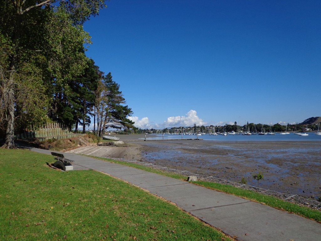
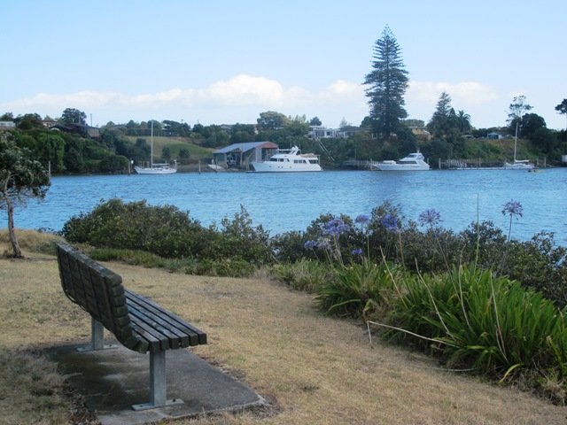
Today we set out to explore another part of the Pakuranga Rotary Walkway, this time taking a loop behind Saint Kentigern College and through Manor Park.
This mainly flat 4km walk would suit workers at Pakuranga Plaza as well as residents. Views of Mount Wellington and water craft. Great for cyclists (cycle the full length of the walkway to Pigeon Mountain) and dog walkers (on leash – please refer to comments below), andfor prams/buggies .
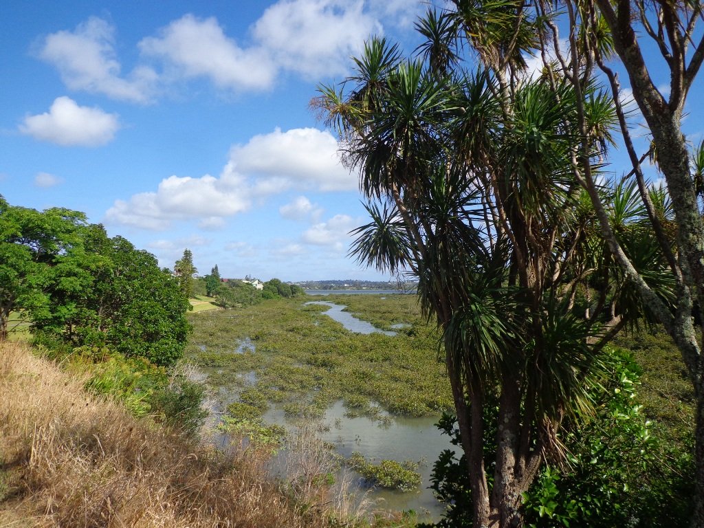
The day was calm and the skies blue – perfect for a walk!
Description: Mainly level paths. Suitable for users of average fitness and mobility. To see: Views of Mount Wellington, water craft, residential homes Time: approx. 45 minutes. (about 4.0 kms) Start: Pakuranga Plaza MAP
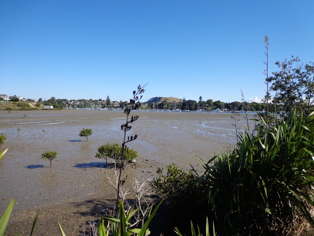
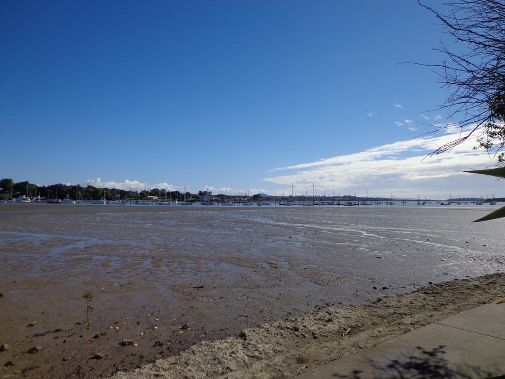
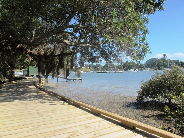
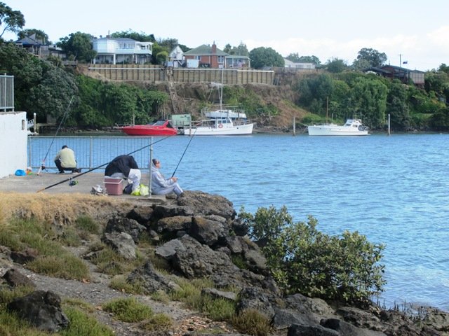
Part of our Pakuranga Loop Walk is along the Pakuranga Rotary Walkway which currently extends to Pigeon Mountain, along the Tamaki Estuary and Whakaaranga Creek.
It is a safe cycling, jogging and walking route. The walkway is paved and relatively flat, making it suitable for wheelchairs, pushchairs and a range of fitness levels. The walkway along the estuary is safe for family cycling.
The walking route is also great for prams/buggies and dog walkers (on leash). There is an off leash dog exercise area – along the Pakuranga Rotary Walkway between the Panmure Bridge and Waakaranga Reserve which permits dogs off-leash under the owners control. This is a huge off leash walk but most people do not know about. This sign can be found at the entrance to the walkway at Kerswill Place. See Auckland Council dog rules.
These flat river plains were used to grow oats, hay and wheat up until the 1950’s. Pakuranga was then known as “the granary of Auckland”.
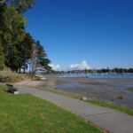
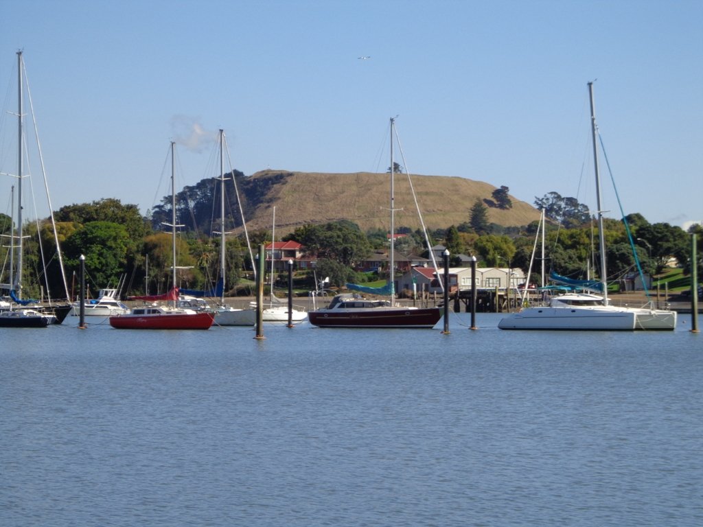
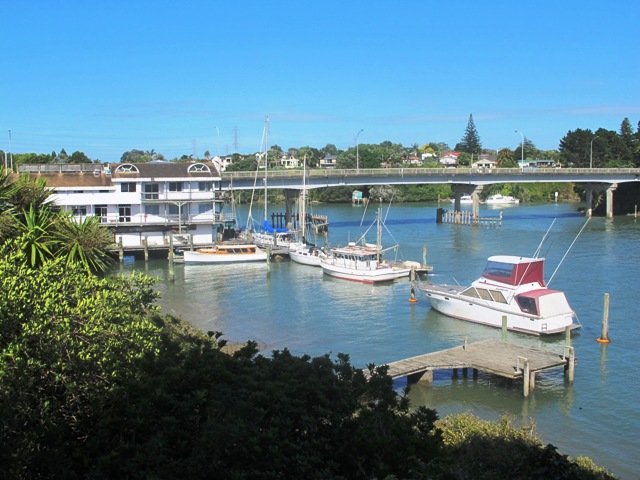
This walk section looks into the mouth of the Panmure Lagoon from the opposite bank.
Description: A mix of level paths and slightly inclined paths. Suitable for users of average fitness and mobility. To see: Estuary views, boats, wetlands, residential housing, Mt Wellington, Pakuranga Mall Time: approx. 40 minutes. (about 3.75 kms) Start: Pakuranga Mall Map
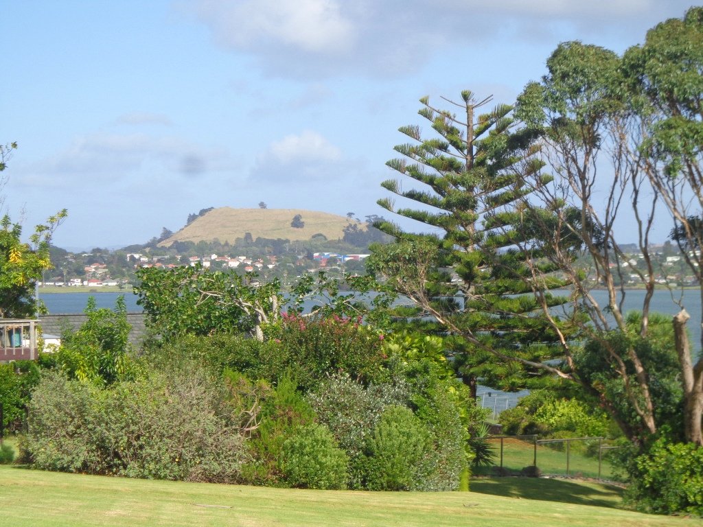
Pigeon Mountain in the suburb of Half Moon Bay is another of Auckland’s volcanoes. The mountain was originally three times its present size but its two craters have been quarried away to provide scoria. It is called Pigeon Mountain because in early European times, native pigeons called ‘kereru‘ used to live here.
View from Pigeon Mountain
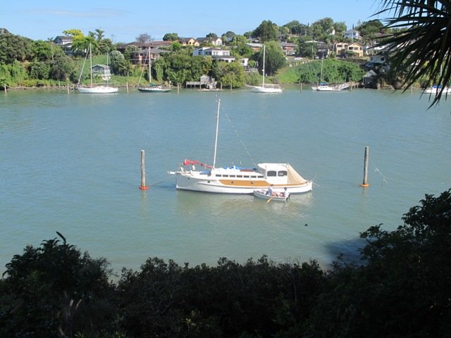
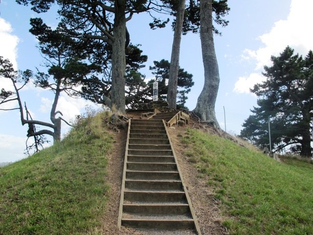
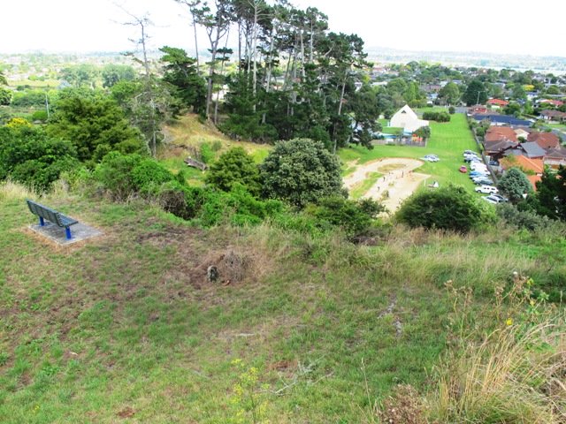
You can walk to the top of Pigeon Mountain and from the summit there are great views of Tamaki Estuary and Wakaaranga Creek Reserve mangroves, whilst below are boardwalks that cross over wetlands that house nests for the pukeko bird.
The nearby mangrove edged Wakaaranga Creek has good paths for wheels. And there is a cool long slide in a playground that is worth checking out. Because most of this walk is in a bird reserve, dogs must be kept on-leash. However if you choose to follow the 5km Pakuranga Rotary walkway, there are several areas for off-leash exercise between the Pakuranga Sailing Club and Wakaaranga Reserve. This is a mostly flat walk if the walk to the summit of Pigeon Mountain is omitted.
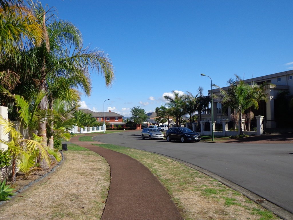
Be aware that some pathways between houses and roads are iron bar chicanes that make it more difficult for wheelchairs, prams and cycles using the path.
Description: A mix of level paths, steps and slightly inclined paths. Suitable for users of average fitness and mobility. May require boots in wet weather, running shoes suitable in dry weather. To see: Auckland City views, Rangitoto Island views, Volcano summit, wetlands, Pukeko birds habitat. Time: approx. 75 minutes. (about 6 kms). Allow extra time to walk to the summit of Pigeon Mountain. Start from: Gills Road just off Pigeon Mountain Road MAP
Stay on track…get your detailed guide and map over at our Walks Store (AE-033 Pigeon Mountain and the wetlands) and our Book Store ( one of 12 walks featured in our books “Volcanoes” and “Best of the East”).
Self guided short circular walks in Auckland for health, fitness and fun