
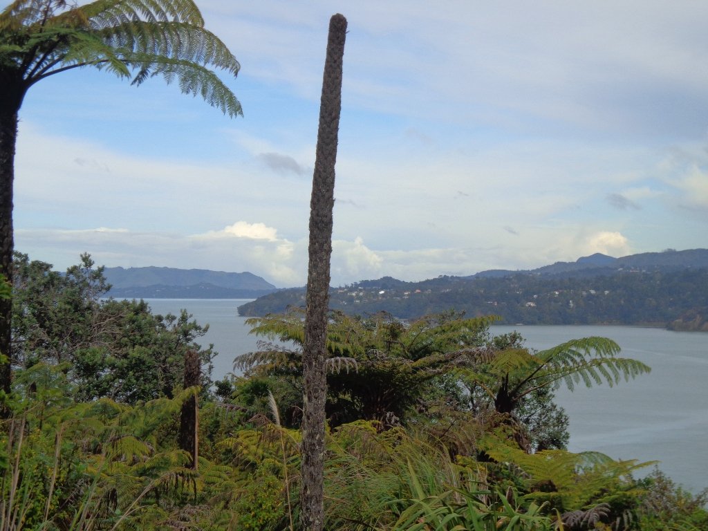
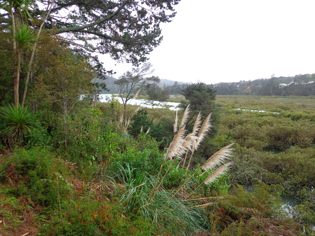
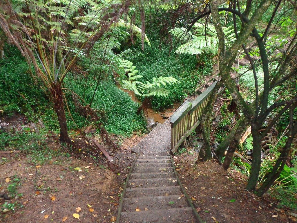
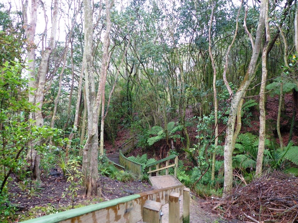
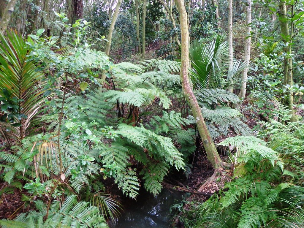
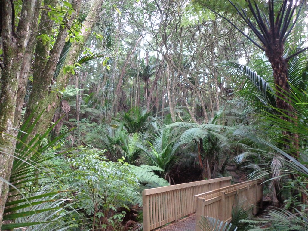
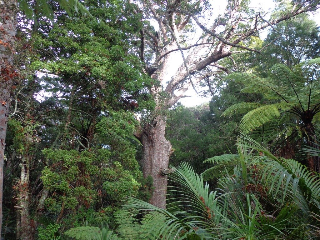
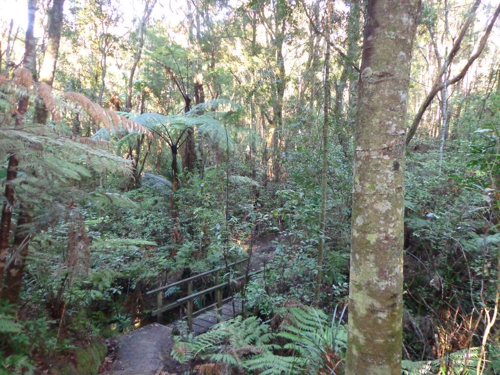
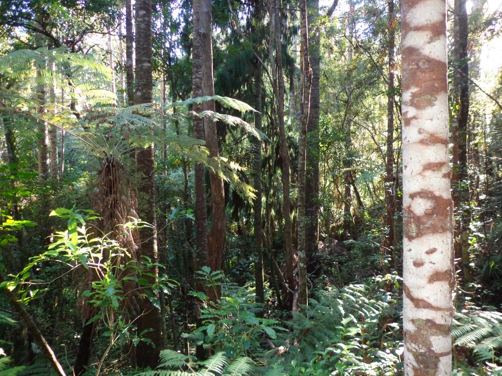
The walk to the Clevedon Reserve lookout, known as the Stairway to Heaven, was suggested to us by some of my wife’s work colleagues and what a great surprise. Large kauri, Kahikatea, Puriri and Puka trees grace the slopes and make for an impressive bush canopy. Plenty of birdlife is enjoyed, as is the view across the Auckland City in the distance and the Hunua Ranges to the East. Adding to the value of this amazing walk is exploring the quaint Clevedon Village.
Continue reading Clevedon Reserve – Stairway to HeavenTag Archives: Native Birds
Volcanic Kohuora Park
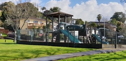
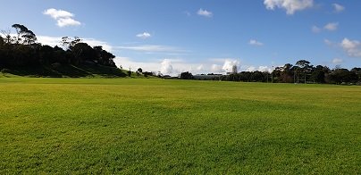
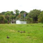
This is one of our smaller loop walks but a delightful one, boasting native bush and many birds. Kohuora Park is full of surprises – not only is it one of Auckland’s 50 volcanoes but is the home of the Papatoetoe Panthers Rugby League Club. The kids will also enjoy the playground.

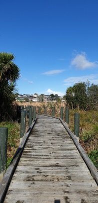
The volcano at Kohuora Park is about 600m across and defined by a tuff/rim that is about 30m high, some of which still remains today. The track is mostly flat and incorporates paved walkways and boardwalks.
| Walk Time | 15 – 40 mins |
| Surface | Paved or Boardwalk |
| Difficulty | 1 |
| Buggies/Wheelchairs | Flat and easy walkway |
| Facilities | Toilets, Water, Playground |
| Highlights | Native Bush, Grass Fields |
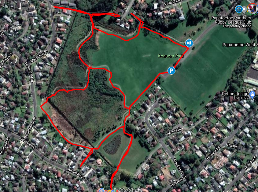
Click to open the Google Map is a separate tab or tap on the icon in the top right of the map.
Kohuora Park & Volcano Walk Descriptions
Kohuora Park is one of Auckland’s hidden parks, probably one only known by locals and rugby league fans – it is the home ground of the Papatoetoe Panthers Rugby League Club. It is also one of Auckland’s 50 volcanoes, measuring about 600 meters across and 30m deep.

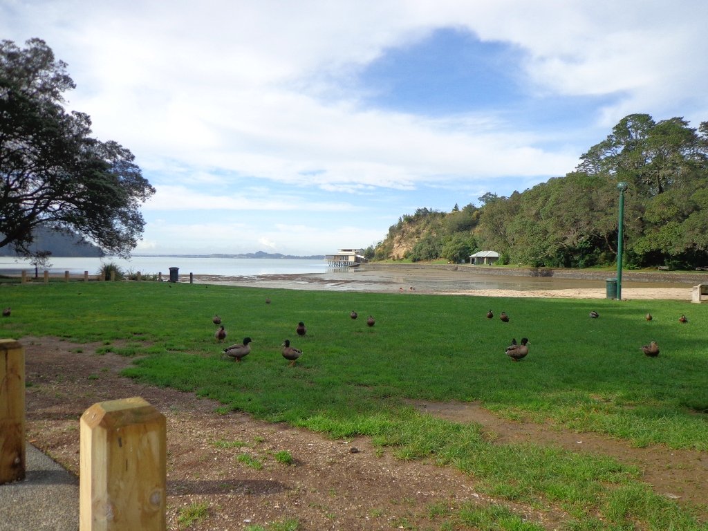
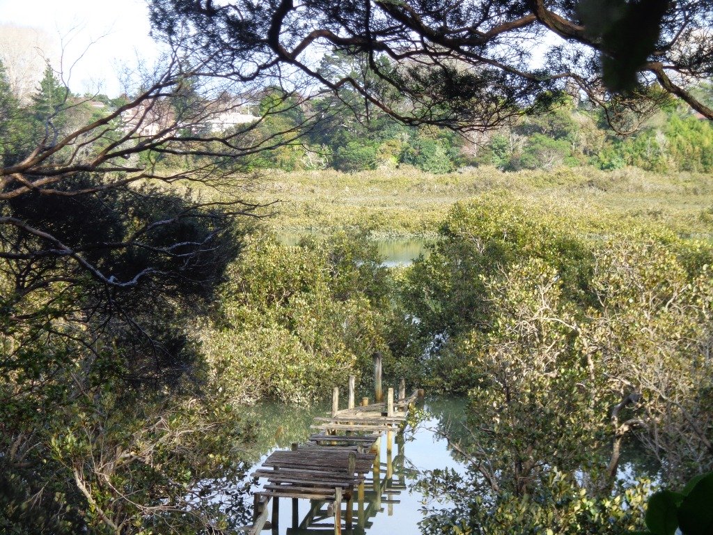
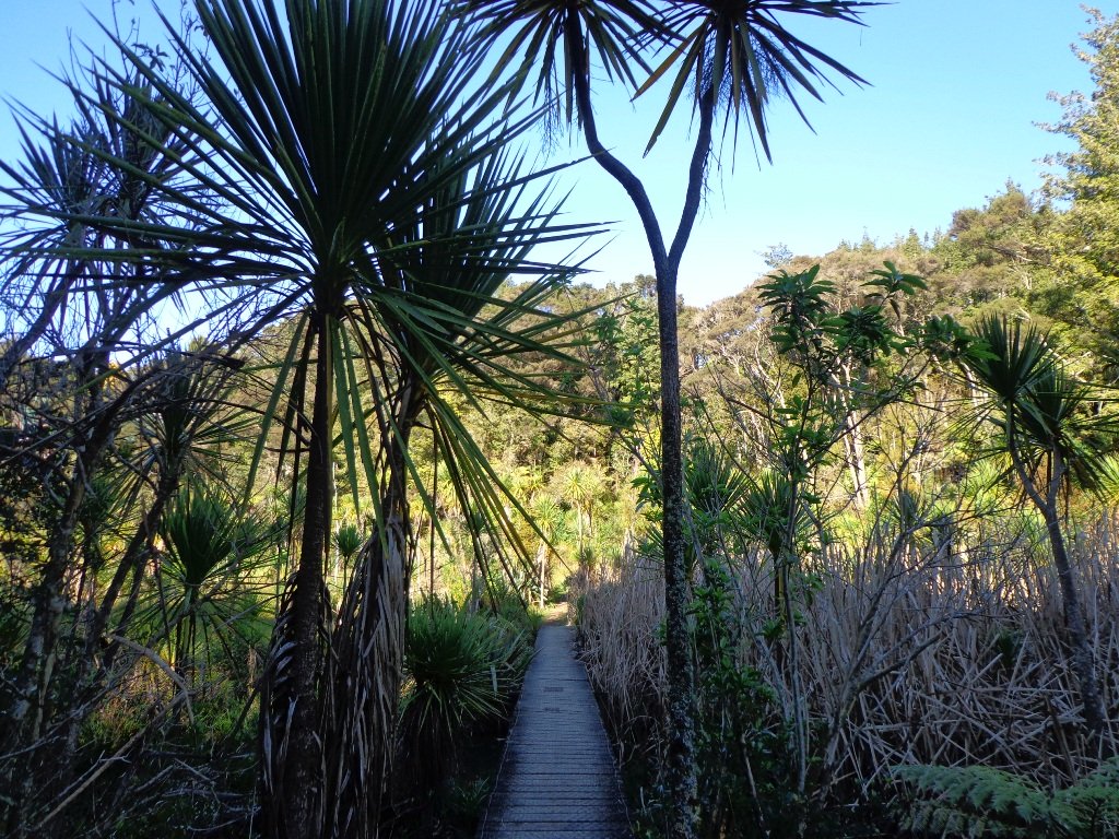
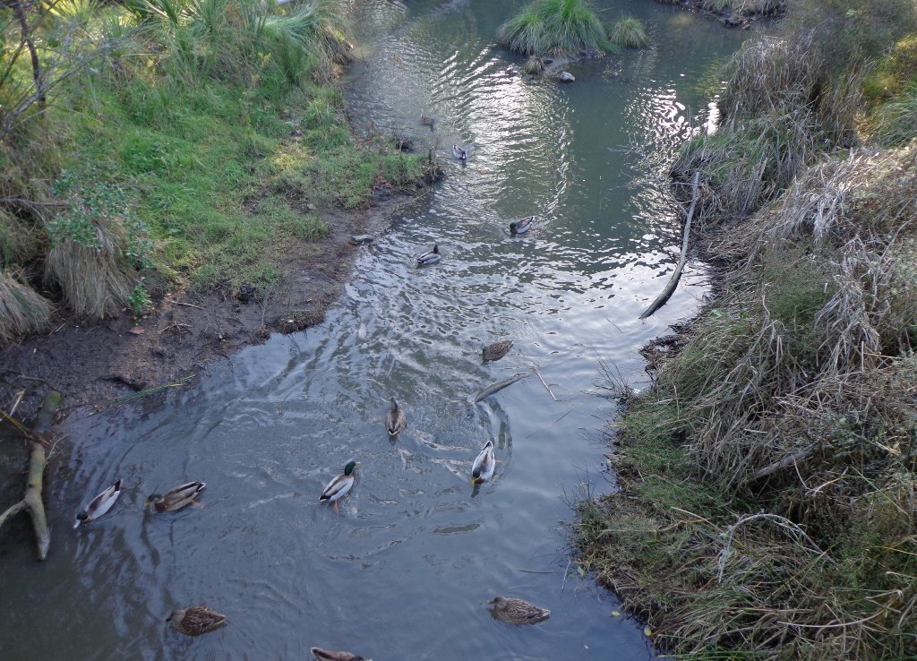
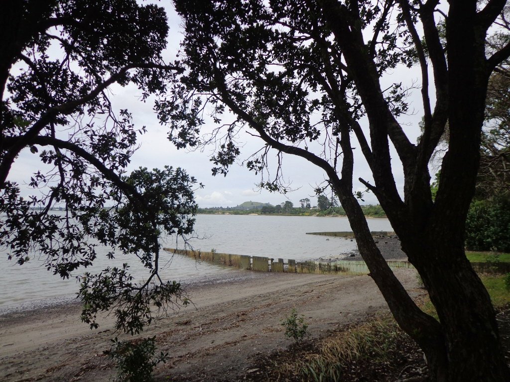
The tracks consist of primarily two large loops that thread their way between native bush and grass fields. The walkways are paved or boardwalk and mostly flat, with just some smaller undulations. There are marshlands that can in places overflow sections of the track in seasons where there is heavy rain – certainly, there were aspects of the track that were underwater when we completed it but it was still all passable. The local ducks were celebrating :).

We commenced our walk at the carpark closest to the tracks and walked clockwise. If you have the time, make the effort to complete the outer circuit, approximately about 2km – its a peaceful native bush walk, interrupted by plenty of wonderful birdlife – pukeko, kingfisher, white-faced herons and more waders. The northern part of the track contains a little undulation as it rises up some of the crater tuff.
The Tohuora Park can via the Papatoetoe Train Station, with just a few minutes walk.
Buggies/Wheelchairs
This walk is great for buggies and wheelchairs due to its relatively flat nature and paved walkway.
Dog Friendly
Kohuora Park is suitable for dogs and includes an off-leash dog area also. As with all Auckland Parks, dogs should not be on the sports fields.
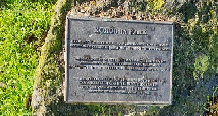
Kohuora Park Information and History
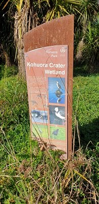
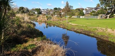
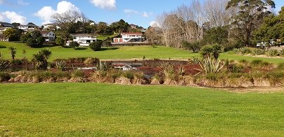
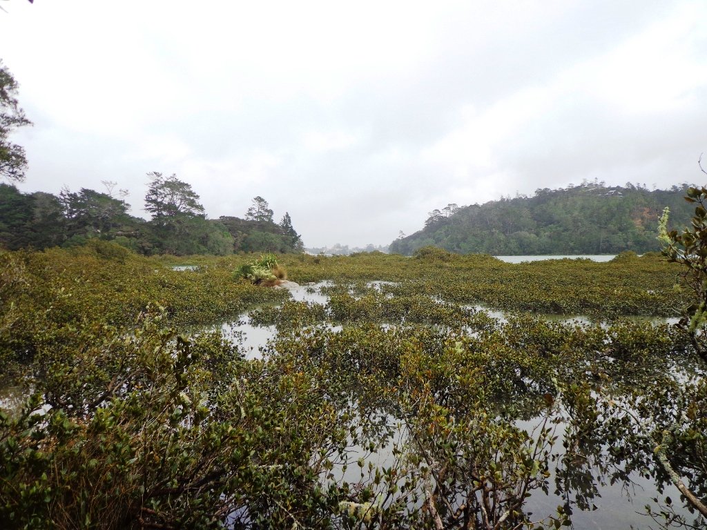
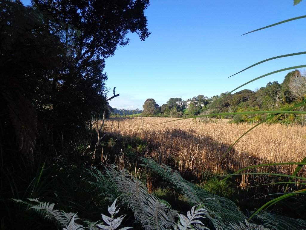
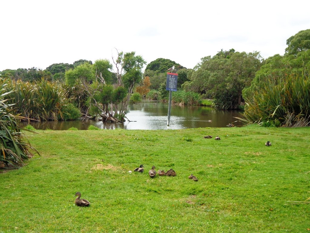
Kohuroa Park wetland
Long Bay regional park
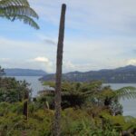
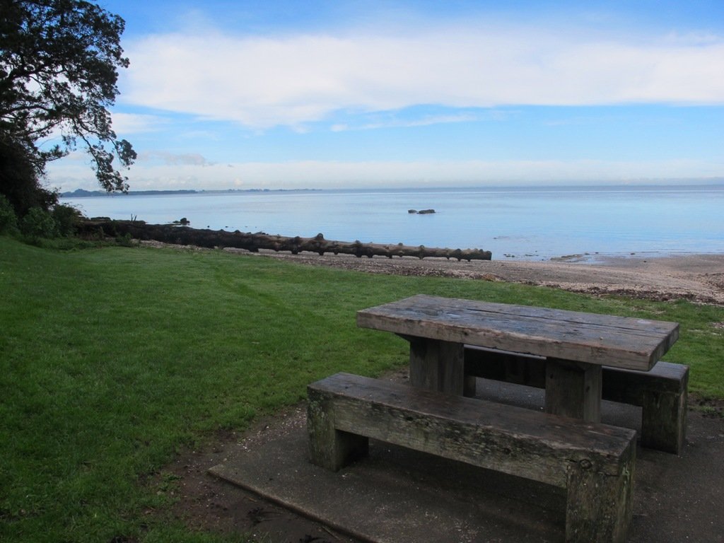
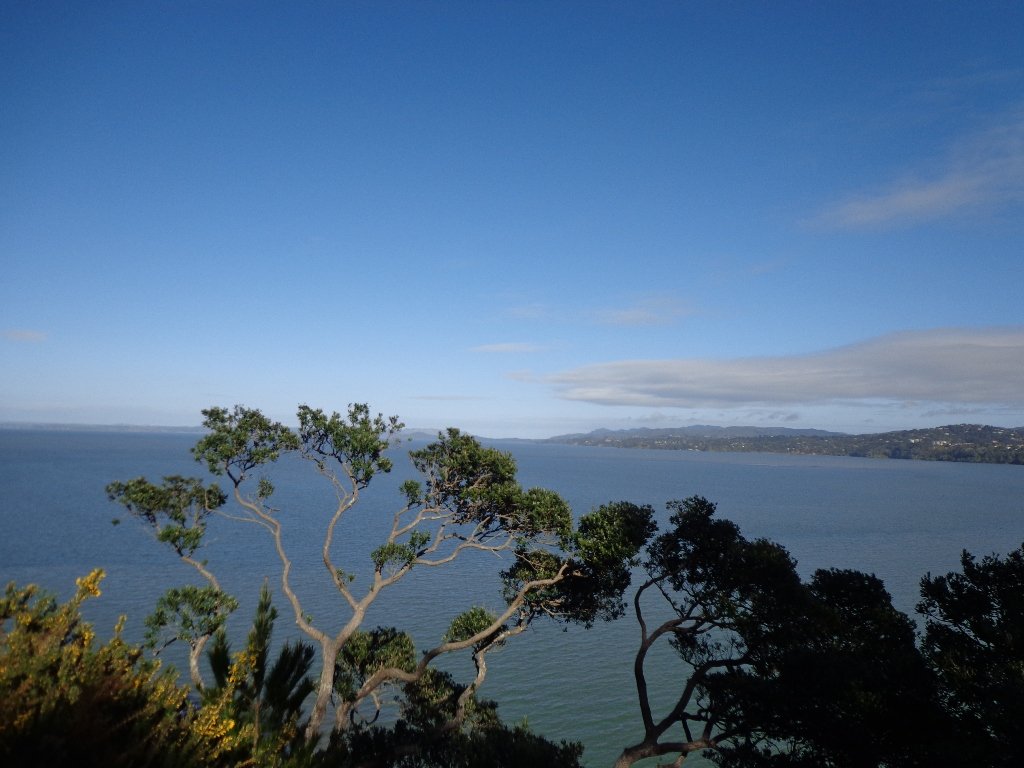
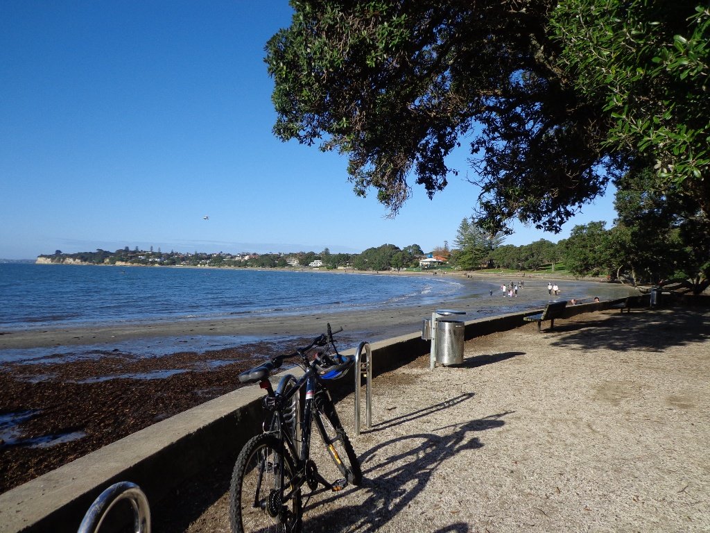
Long Bay Regional Park is situated on the northeast coast of Auckland and is one of the cities most popular recreation destinations. The long sandy beach, extensive park facilities and range of walking tracks make it a great place to walk. Enjoy the open fields or native bush. Be refreshed by the ocean air and the stunning views of the Hauraki Gulf and its many islands.

Parking is plentiful at Long Bay and there are toilets, water fountains, children’s playground and BBQ’s within the park area behind the beach. Take in some history with the Vaughan Homestead or a walk to the military pillbox.
Long Bay Regional Park offers explorers a range of walks from 15 – 20 minutes up to 3 – 4 hours, all of which are highly rated. There is more detail on each of the walks provided below, but here is a brief overview:
Nature Walk: this is a short loop walk through native bush of about 15 – 20 minutes.
Granny’s Bay Walk: this loop takes you through the wetlands and bush to the ridge, detour to the pillbox and then to Granny’s Bay. Return via the rocks if the tide is low enough. Time approx 45 – 60 minutes.
100 Acre Walk: add this detour to the Granny’s Bay walk and enjoy a kilometre walk through the regenerating native bush. Time is approx 15 mins from the Granny’s Bay walk.
Okura River Walk: this is a good half-day trek and extends beyond Granny’s Bay to the Okura River mouth. At lower tides, you can return along the rocks and beaches.
| Walk Time | 15 – 20 minutes, 1.1km (Nature Trail loop) 45 – 75 minutes, 3.8km (yellow) 2.5 – 4 hours, 9km (yellow & red) |
| Surface | Gravel or Grass Tracks |
| Difficulty | 2/5 – some steep sections |
| Buggies/Wheelchairs | 3/5 – the initial track to Granny’s Bay is fine, although some parts are steep. There are stairs beyond Granny’s Bay. |
| Facilities | |
| Highlights | Views, Swimming & Water Sports, Array of tracks |
Click here to open the Google Map in a separate tab or tap the icon in the top right of this map.
Download a pdf version of the Long Bay Reserve Walks Printable Map
Long Bay Reserve Walking Tracks Description
Select from short walks of just 15-20 minutes up to a full half-day adventure. Enjoy the sea, the views, the bush and birdlife – Long Bay is simply a wonderful place to explore and enjoy.

The Vaughan Homestead is worth a detour and is a little beyond the entry to the main track. This historic home is situated at the northern end of the beach. More historic information can be found here.
Nature Walk: 15 – 20 minutes, 1.1km
This short walk is a loop that commences from the end carpark of the Long Bay and takes in the Wetland and Nature Trail tracks. Once at the far carpark, walk northwards through the chain across the driveway. About 100m from the start, turn left at the coastal track sign and head into the flat wetland area. Follow the pathway for a further 300m until you reach the bridge where you will cross the stream that heads to Long Bay Beach. Keep a lookout for a variety of swamp birds.

Head across the bridge and up the hill. 100m on the right is the Nature Trail which follows the stream for about 250m before existing just below the historic Vaughan Homestead. The Nature Trail tracks through attractive NZ native bush. Turn left to view the Vaughan Homestead or right to head back to the start.
Granny’s Bay Walk: 45 – 60 minutes, 3.8km

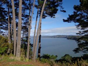
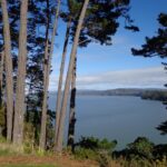
This is the most popular walk at Long Bay Reserve as it provides stunning views across the Hauraki Gulf and access to the less busy and beautiful Granny’s Bay.

Take the same route as described above for the Nature Trail, however, continue to climb the hill track until you reach grass fields. Once at the top of the hill, walk through the grasslands towards the clifftop. This is where you get your best views across the water and all the way to Auckland.

A small detour on a bush track, through the fence line, near the cliff takes you to a historic pillbox. There are glimpses of views back down Long Bay Beach from here. The track at times is closed due to slips, so be mindful of its condition.
At the fence, take a left and continue to follow the track down the hill to the Beach. At high tide, it is a beautiful swimming beach and very private. As the tide recedes, it becomes part of the ongoing coastline and not so attractive for swimming.
There is a second Bay over the next hill that is also pretty but be aware that clothing is optional here and so most may not want to stop here for the swim and picnic!

The return to Long Bay can be achieved by walking around the rocks if half-tide or lower, or by retracing your steps up and over the hill. Take care though as it can be slippery when wet.
100 Acre Walk: 15 – 20 minutes, 1.6km

Enjoy a tranquil stroll through native bush on the 100 Acre Track. This is a regenerated area of native bush and enjoys great birdlife. The track is wide and grassy, a little muddy in the wet. The flowering Tea Tree and birdsong are highlights.

Access the 100 Acre track from the walkway to Granny’s Bay or from directly adjacent to Granny’s Bay.
Okura River Walk: 2.5 – 4 hours, 9km
Make a day of your time at Long Bay Reserve and complete the Okura River Walk. This is pleasant and spectacular. The track these days is pretty good, although still has some muddy patches in the wet towards Okura River.
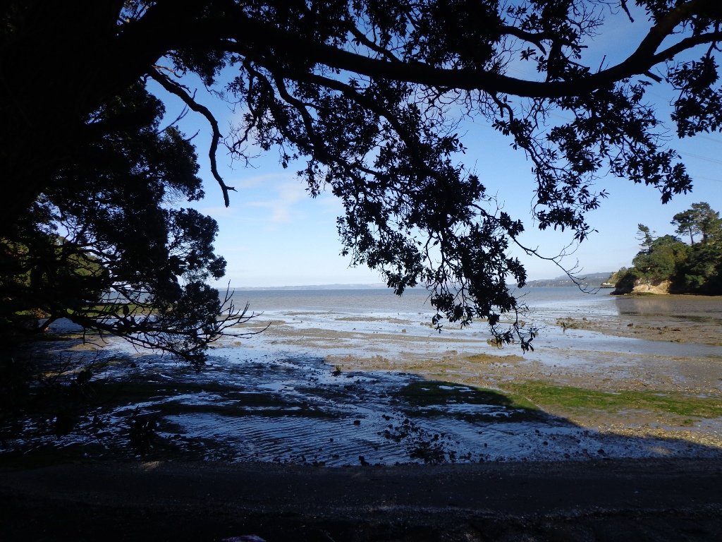
This walkway can be completed as an out and back walk or using the track one way and the coast the other. The coastal return should only be attempted when it can be completed within 2 hours of low tide for the entire trip. It can also be very rocky and slippery but is a great option for more confident walkers. I have completed this one many times when it was a route I ran a lot and it is amazing but requires care.

Take the track to Grannys Bay and then continue over the next hill to Pohutukawa Bay. The track then climbs again upwards adjacent to farmland on the left and clifftop bush on the right. The walk is grassy and undulating, with views along the way. As you get closer to the Okura River Mouth, the track heads more westerly until you drop to the Okura River.
If the tide is low enter the ‘beach’ and then turn right to return via the coast to Long Bay. If the tide is not low, retrace your steps to return to Long Bay.
Buggies and Wheelchairs
Many of the Long Bay tracks can be accessed by buggies and wheelchairs. The constraint is more the hills as some are steep.
Other useful Links:

Return to Long Bay via the coast 
Track through 100 Acre 
View to Rangitoto Island 
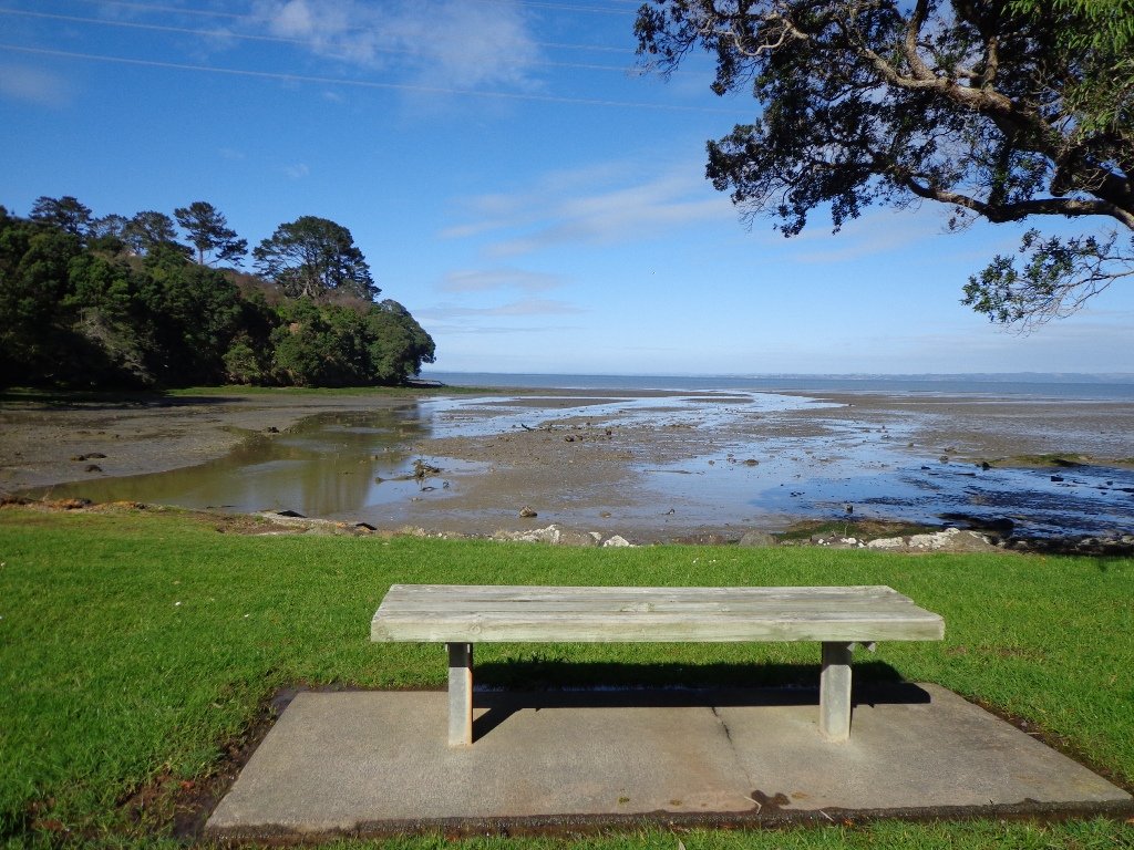
Northern end of Long Bay Beach 
Track to Nature Trail 
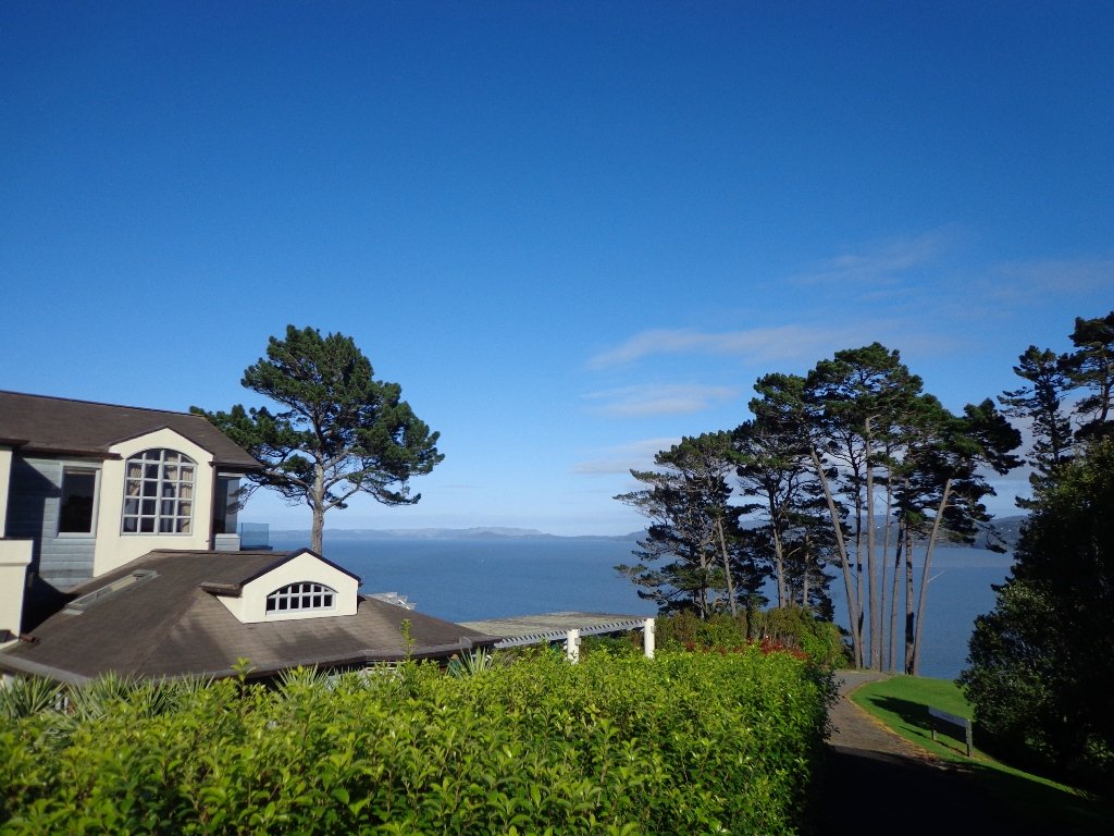
Vaughan Homestead 
Return to Long Bay via the coast 
Gun Emplacement Detour The coastal return 
Beautiful Grannys Bay
Blockhouse Bay Tiriwa walk
The Blockhouse Bay Tiriwa walk in Auckland follows the high cliff edge alongside Manukau Harbour to Green Bay Beach and then continues inland to Craigavon Park.
This is another newly discovered gem for us. The Pathway of Tiriwa (Te Ara O Tiriwa) is named after a Maori chief who lived in the area pre-canoe days. The pathway takes you through Punga ferns and mature Puriri trees. Native pigeons feed here in summer months.
There are steep steps down and up the small gullies along the pathway, and the track was muddy today but not too bad (best to walk in dry weather).

We stopped for refreshments at the newly opened The Block cafe in the main street of Blockhouse Bay. What a wonderful “buzzy” community friendly place – and the menu looked mouth watering. The brunch plates that were being served looked generous.
Dogs – this walk includes an off leash dog exercise area in Craigavon Park.
This walk also includes children’s playgrounds, picnic spots with BBQ’s, a fitness trail, public toilets – and hungry ducks to feed.
Description: Bush track, steps, inclines. Muddy in places when wet. Suitable for users of average fitness and mobility.
To see: Native bush, views across Manukau Harbour, native birds
Time: approx. 60 minutes. (about 5.0 kms).
Parking: Blockhouse Bay Reserve
Buses: Blockhouse Bay Road MAP
Stay on track…get your detailed guide and map over at our Walks Store (AC-087 Blockhouse Bay Tiriwa Walk) and from our …
Book Store (one of 12 walks featured in our books “Dog Friendly Walks part 2″ and “Best of the West“).


Click photos to enlarge.
Lynfield Coastal Walk
The views across to Blockhouse Bay and Manukau Heads in the far distance along the Lynfield coastal walk this morning, were spectacular! The sun was shining, the sky was clear and the tide (check here for tide times) was almost full.
This was an explore walk for us – trying to work out the best circular route without too much street walking. The route has a few steep ups and downs, which makes it a good workout. We met some people who were walking their dog off leash along the reserve.
July 2016 Update: The sculpture “Open Stone” by late Japanese sculptor Hiroaki Ueda is now on view in the Manukau Domain, Lynfield.
Description: Bush track, steps, inclines. Muddy in places when wet. Suitable for users of average fitness and mobility.
To see: Native bush, views across Manukau Harbour, native birds.
Time: approx. 45 minutes. (about 3.75 kms). One small children’s playground. Dog friendly off-leash in Manukau Domain (alongside the Lynfield Cove Walkway).
Parking: Himalaya Crescent, Lynfield.
Buses: Halsey Drive, Lynfield MAP
Stay on track…find this walk’s map and directions guide (AC-086 Lynfield Coast & Bush Walk) and other walk self-guides at our Walk Store.
Northcote Tuff Crater Loop
This loop walk that takes in Northcote’s volcanic Tuff Crater and Onepoto Domain is based on one from Margaret Scrymgeour’s booklet “Explore the Shore”.

We started the walk from the children’s playground area at Onepoto Domain. We had heard about the children’s cycle track and it is a really safe place to bring young children and their bikes. The playgrounds looks like a lot of fun too (it has a flying fox). It is a great place to have a picnic, feed the ducks and an ideal spot for parenting groups to meet up.
Onepoto Basin is another of Auckland’s explosion craters and it is the oldest dated, erupting about 250,000 years ago. The Maori name “Onepoto” means small beach (named after Halls Beach near Northcote Point).
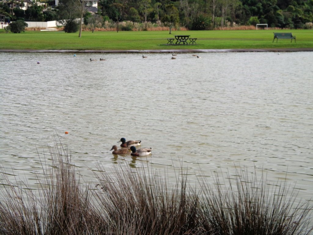
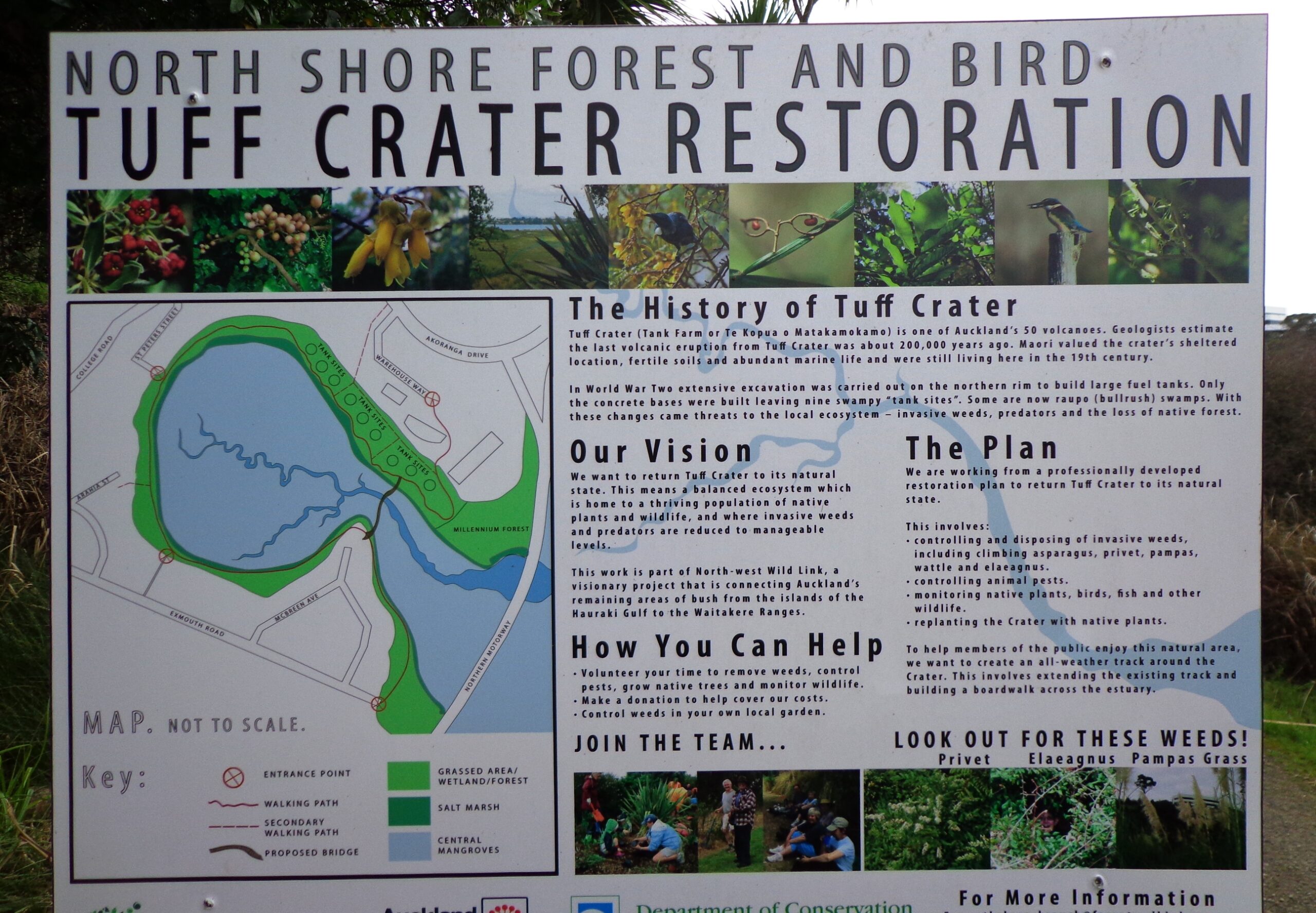
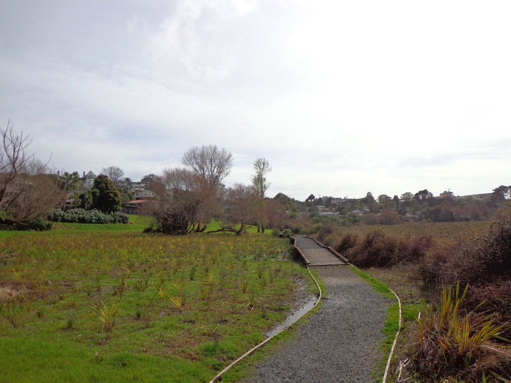
Tuff Crater is another explosion crater (this one is filled with water), which is being restored to its natural state with a balanced ecosystem of native plants and wildlife, all with volunteer help. It was formed by explosive eruptions around the same time as Onepoto.
For more information about the Tuff Crater, you may wish to view this video. (please note that our loop walk includes part of the Tuff Crater. There are future plans to build a circular walkway completely around the Tuff Crater).

Dogs may be off-leash on the track within the Tuff Crater Reserve (according to Auckland Council Bye-laws Department re phone call 3/6/2014). There is a risk that they could disturb endangered bird life, so please keep them under control. We do have a request for dog owners to pick up litter (as we did come across litter).
PLEASE NOTE: As of the 29th October 2014 the new dog rules for Tuff Crater – Dogs prohibited within the foreshore (mangroves) of Tuff Crater; on-leash on track around reserve.
Description: Bush tracks, steps, inclines. Muddy in places when wet. Suitable for users of average fitness and mobility.
To see: Native bush, views across Auckland Harbour, native birds, volcanic crater
Time: approx. 60 minutes. (about 5.0 kms). Dog friendly, but on leash only.
Parking: Onepoto Domain, Northcote.
Buses: Onewa Road, Northcote MAP

Google Maps for
Onepoto Domain &Tuff Crater
Stay on track…get your detailed guide and map (AN-085 Northcote Tuff Crater Loop) over at our Walks Store and our Book Store (one of 12 walks featured in our book “Dog Friendly Walks part 1”).
Beach Haven Coastal Walk
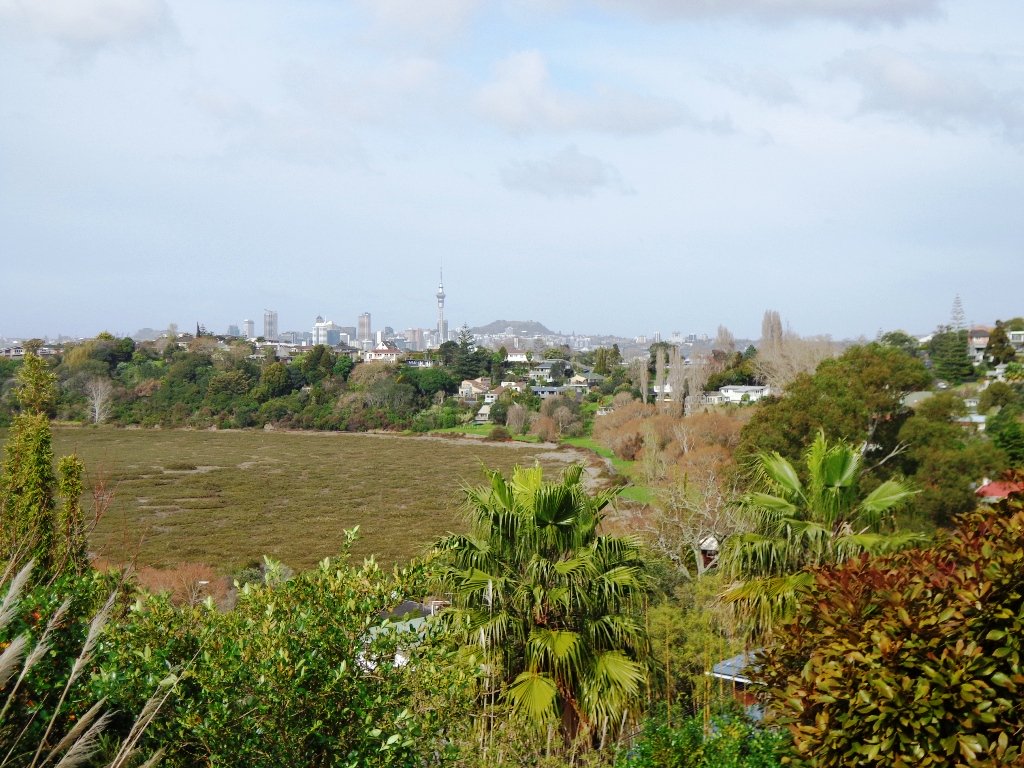
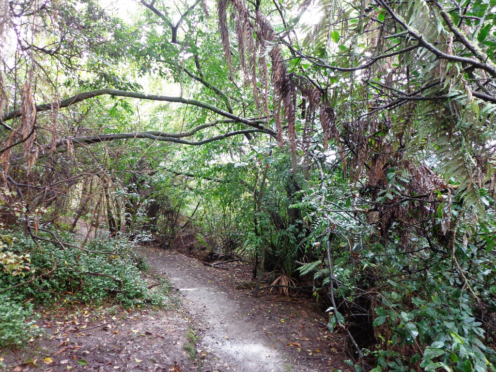
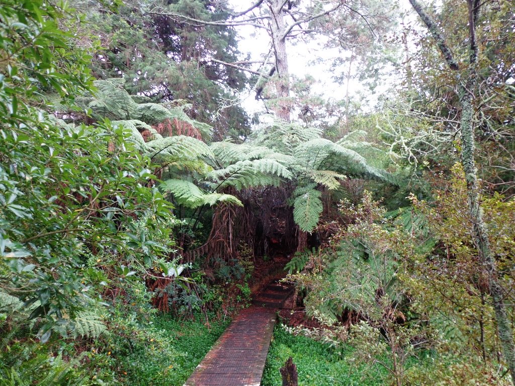
The Beach Haven coastal walk on Auckland’s North Shore hugs to the coastline with views to Bayview, Hobsonville Point and the bush that runs alongside the Upper Harbour Highway. The route follows Hellyers Creek, then all the twists and turns of the small mangrove-filled inlets, and through trees filled with birdsong.

Today was rainy and windy – the yachts sailing out from Hobsonville Point were making the most of the winds. But we were sheltered by the trees and small gullies.
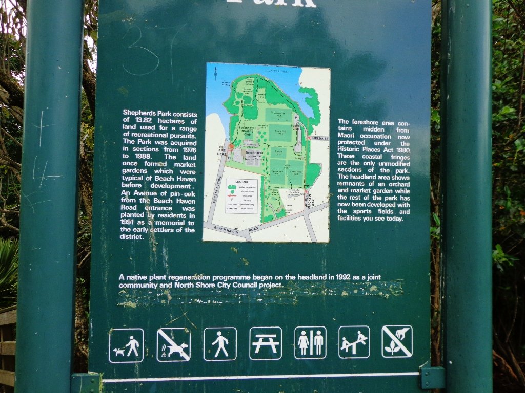
This walk begins at the Community Creche entrance to Shepherd’s Park, where there is a children’s playground a cyclists learning track and a fitness trail, as well as sports fields. The signs indicate that dogs must be kept on-leash (but we did see dogs off leash along coastal walkway).
If you wanted to make this a day outing, you could catch a ferry from Britomart to Beach Haven. Bring a picnic lunch.
Description: Bush track, steps, inclines. Muddy in places when wet. Suitable for users of average fitness and mobility.
To see: Native bush, views across Auckland Harbour, native birds.
Time: approx. 60 minutes. (about 5.0 kms)
Parking: Beach Haven Community Creche carpark.
Buses: Tramway Road stop on Beach Haven Road.
Ferry: to Beach Haven MAP

Cafe suggestion: CAFE AU BON COIN CAFE PATISSERIE
Stay on track…find this walk’s map and directions guide (AN-084 Beach Haven Coastal Walk) and other walk self-guides at our Walk Store.
Westmere Loop Walk
This Westmere Loop walk explores the gems of Wellpark Reserve and Jaggers Bush Reserve beside the creek, and touches on the harbour edge at Westmere Park and the end of Garnet Road. It is interesting to observe the varied style of housing. At low tide it is easy to take a short cut alongside the harbour.

Despite the grey clouds and the rain forecast, we set off to explore the streets and reserves of Westmere, starting from the fabulous community-minded Garnet Station Cafe in Garnet Road.
Description: Bush track, steps, inclines. Muddy in places when wet. Suitable for users of average fitness and mobility.
To see: Native bush, views across Auckland Harbour, native birds.
Time: approx. 75 minutes. (about 5.5 kms). Dog friendly (off-leash in Jaggers Bush Reserve).
Parking: Garnet Road, Westmere.
Buses: Warwick Avenue, Westmere MAP
-
 Westmere Loop Walk$1.79
Stay on track…find this walk’s map and directions guide (AC-083 Westmere Loop Walk) and other walk self-guides at our Walk Store.
Bayview Giant Kauri Walk
***** ATTENTION Kauri Dieback has been identified on Auckland’s North Shore. Auckland Council will look to close tracks soon. As this Kauri tree in Lynn Reserve is the largest Kauri on the North Shore, and of significance to our community, you are asked to not visit this track. When walking near any Kauri, your shoes must be so clean you could ‘kiss’ them. Please protect our Kauri. The best way to help is to not walk near them.
Danielle Grant – Deputy Chair Kaipatiki Local Board ****
We returned to Bayview on the North Shore to complete a circular walk in a different direction to our previous Bayview Coast and Bush Walk.
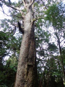
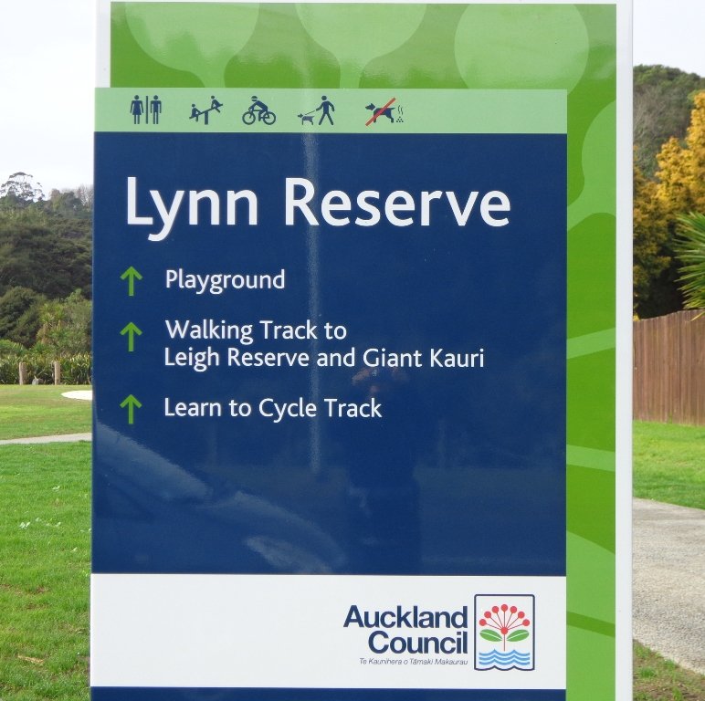
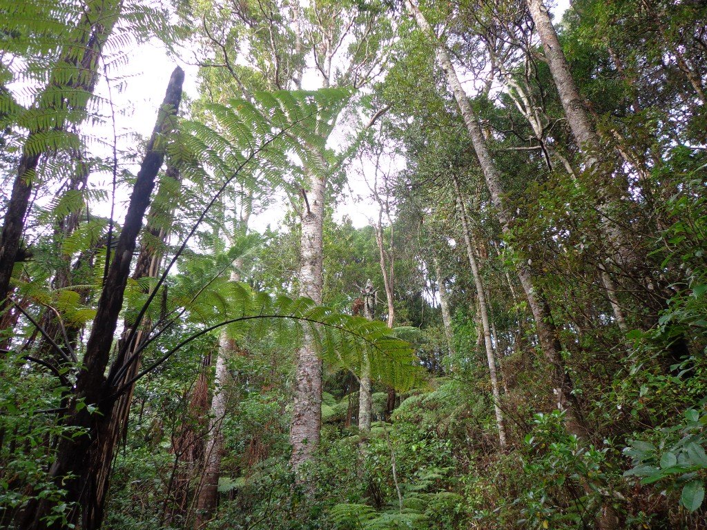
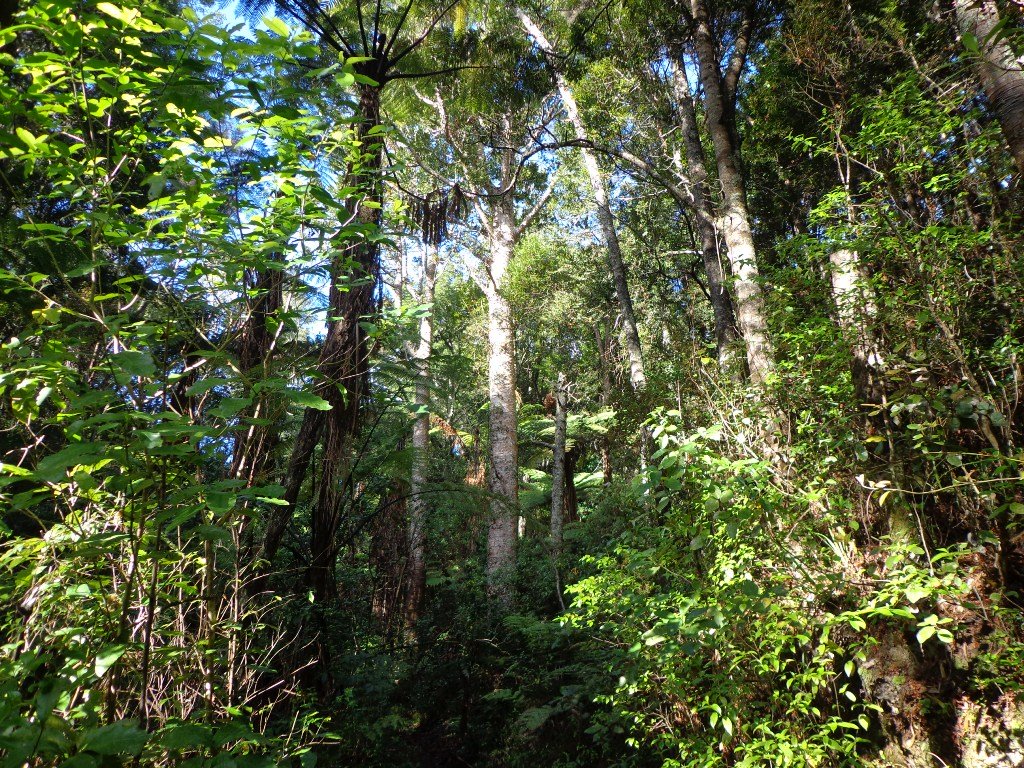
Today’s walk starts off in Lynn Reserve, and heads up a bush filled gully with a small stream, to a giant Kauri tree (over 2 metres in diameter and is said to be about 800 years old) among a grove of smaller kauri trees which are growing in Leigh Scenic Reserve. It is awesome!
The route joins up with the Glenfield Coastal Walkway and heads around to the boat ramp and Manuka Reserve at the bottom of Manuka Road. Hearing the song of the tui birds as we slowly walked up the incline of Manuka Road gave us great encouragement.
This walk through the bush and along the Upper Harbour coastline is not only beautiful, it provides a great workout if you are into fitness. It is also a fun family walk that includes two children’s playgrounds, plus dog off leash exercise areas.
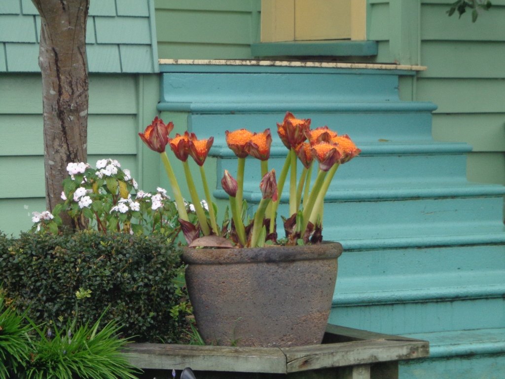
The new playground at Lynn Reserve looks great, and in the week since we last visited, a children’s ‘learn to cycle track‘ has been installed.
***Please note: September 2018 This track has been temporarily closed due to Kauri Dieback
Description: Bush track, steps, inclines and board walks. Muddy in places when wet. Suitable for users of average fitness and mobility.
To see: Native bush, including Giant Kauri, small waterfalls, views across Auckland Harbour to Hobsonville Point, native birds.
Time: approx. 75 minutes. (about 5.8 kms). Dog off leash areas. Three children’s playgrounds.
Parking: Lynn Road, Bayview near Glenfield.
Buses: 111 Lynn Road, Bayview MAP

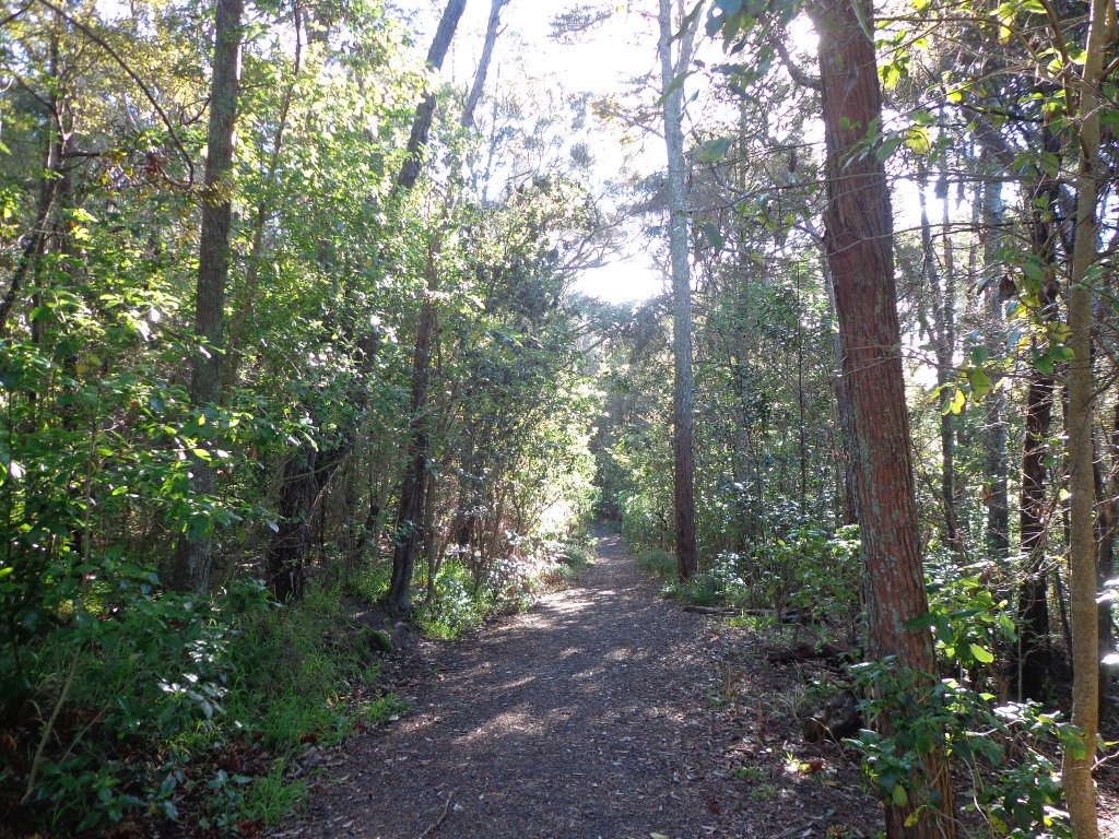
Bayview Coast and Bush Walk
Today we set out to explore the Bayview area near Glenfield on Auckland’s North Shore. What a wonderful surprise to find a beautiful bush walk, alongside the Upper Harbour reaches, all part of the Glenfield Coastal Walkway.

The walk takes in Manuka Reserve with views of the upper harbour, Hobsonville Point and native bush. Not only are there stands of manuka trees (tea trees) beside the estuary, but inland within Leigh Scenic Reserve, there are kauri trees and palms.
This circular walk is mostly bush with only a small section of street footpaths. It is suitable for families, with two places to stop at playgrounds. Dogs must be kept on leash.
Description: Bush track, steps, inclines and board walks. Muddy in places when wet. Suitable for users of average fitness and mobility.
To see: Native bush, small waterfalls, views across Auckland Harbour to Hobsonville Point, native birds.
Time: approx. 60 minutes. (about 5.0 kms). Dogs on leash. Two childrens playgrounds.
Start: Lynn Road, Bayview near Glenfield. MAP
***Please note: September 2018 This track has been temporarily closed due to Kauri Dieback
-
 Bayview Bush walk (5kms)$1.95
Stay on track…get your detailed guide and map (AN-080 Bayview Bush Walk)over at our Walks Store and our Book Store (one of 12 walks featured in our books “Urban Bush” and “Dog Friendly Walks part two”).

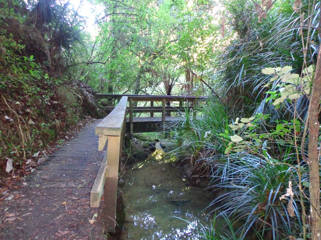
Le Roys Bush Loop
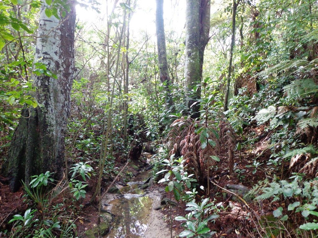
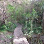
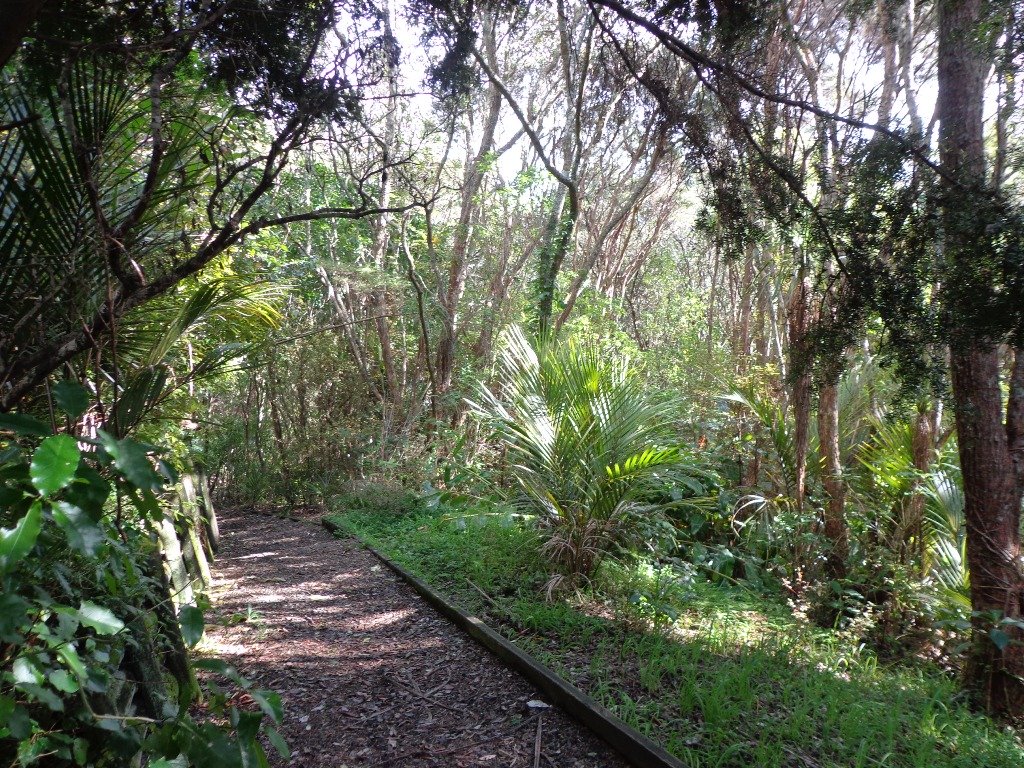
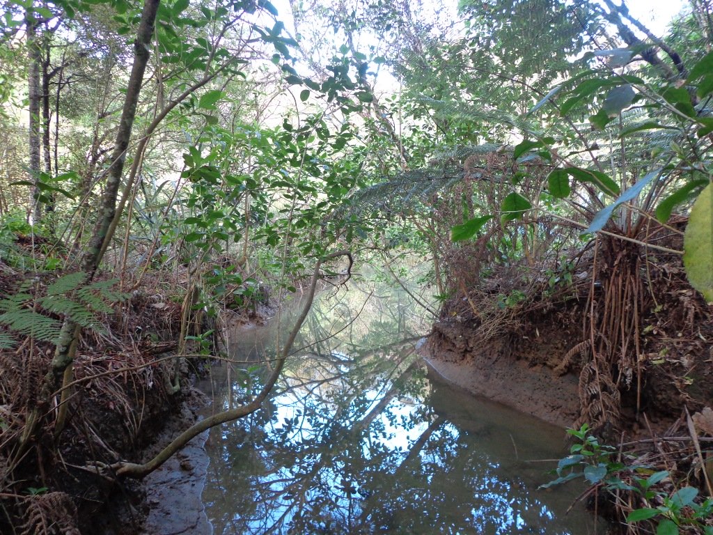
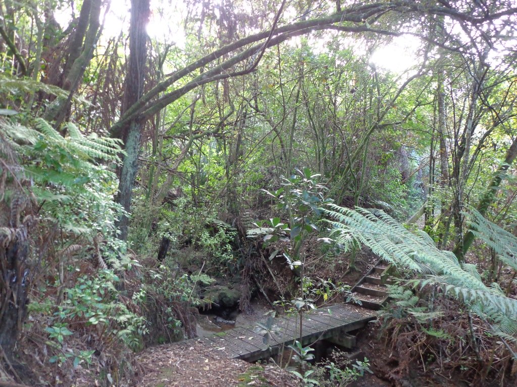
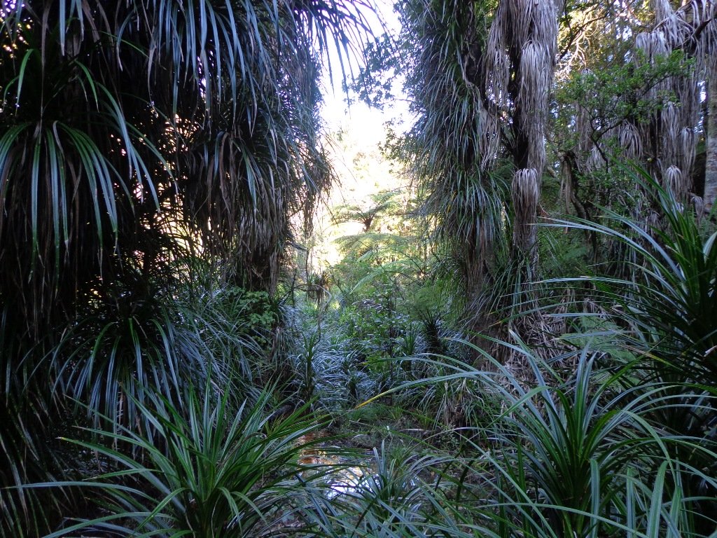
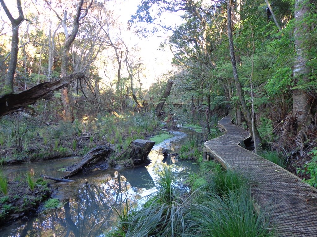
Saying that you are going for a walk in the bush in urban Auckland, may sound like an oxymoron…however, that is one of the many wonderful aspects of walking in Auckland – you never have to go far to find native bush. Kauri Glen Reserve lives up to it’s name and Le Roys Bush follows a stream downhill to the restored wetlands of Little Shoal Bay, Northcote (which was once a tidal estuary filled with mangroves).
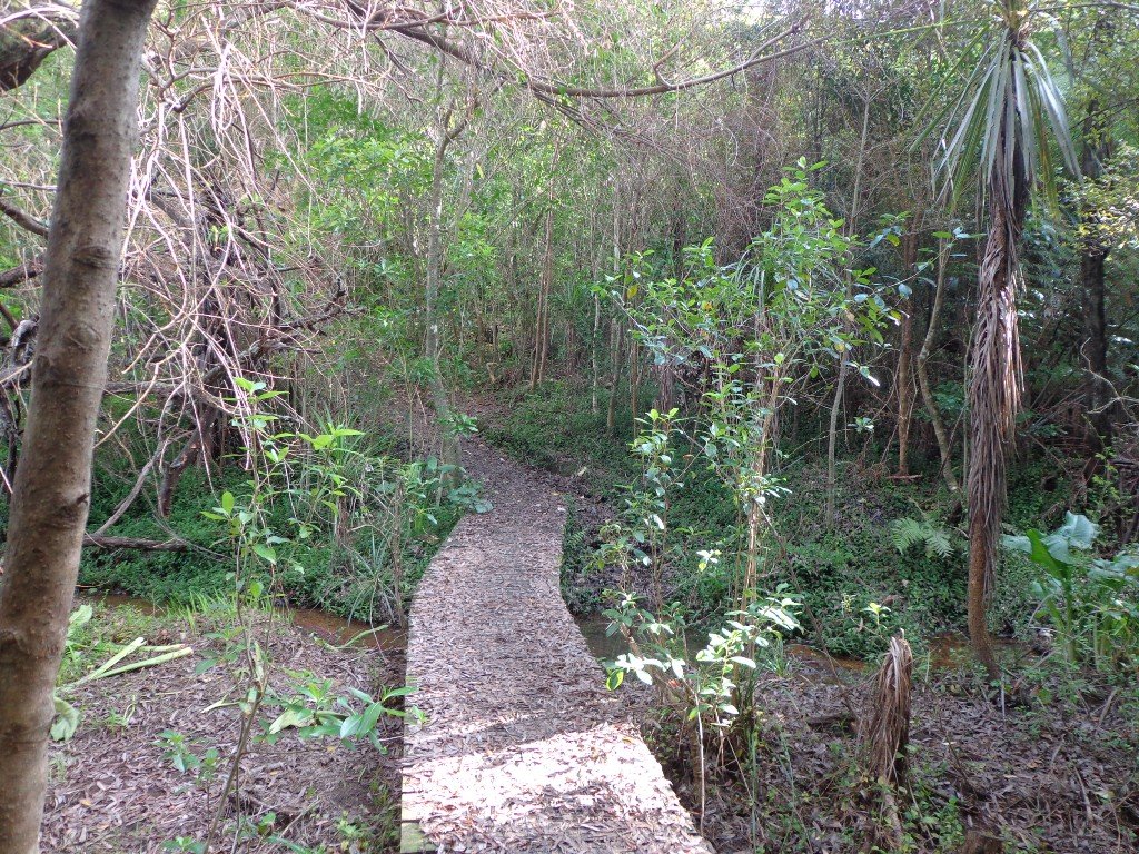
This morning the sun was out (as well as the tide!), which made it a very pleasant and warm winter’s day. Some of the smaller tracks are wet, muddy and slippery so if that doesn’t fit with you, then I suggest that you save them for a summer walk. The loop walk we have documented keeps you on the drier paths and boardwalks.
We were rewarded with sunlight filtering through the native trees, the sound of the bubbling stream and the songs of the native birds – we could have been deep in the bush instead of in the middle of urban residences!
- Free Map for your smartphone – go to the new prototype site: Le Roys Bush Walks [22Nov2015]
Kauri Glen is one of the oldest bush reserves on the Shore (measures about 25 acres and first sizeable pieces of land that was placed under public management) which includes trees such as taraire, totara, kauri, tawa, rewarewa and maire. Kiekie and nikau are abundant in this sub-tropical rainforest. Smaller species of note are pate and karapapa. The area is alive with the likes of tui, fantails and moreporks.
Little Shoal Bay Reserve is a great place to start and finish at – with plenty of parking and a fun looking children’s playground. Dogs must be kept on leash to protect the flora and fauna.
Alternatively you could begin your walk at Birkenhead. A new track has been constructed (September 2016) from 31-45 Birkenhead Avenue. Called the Maori Pipi Walk.
You could pop into the Northcote Tavern for lunch, coffee or a beer afterwards – full of character and nice ambience. Or stop at Sausalito Cafe.
****************************************************************
Please protect our Kauri. Clean ALL dirt off your shoes and dogs feet BEFORE you arrive. Spray feet on entering and leaving. Dogs on leash at all times. Keep to the tracks. Enjoy your walk.
Join Le Roys Bush on Facebook.
***Please note: September 2018 This track has been temporarily closed due to Kauri Dieback
****************************************************************
Description: Bush track and board walks. Slippery when wet. Suitable for users of average fitness and mobility.
To see: Native bush, waterfall, wetlands, views across Auckland Harbour, native birds.
Time: approx. 60 minutes. (about 5.0 kms)
Parking: Little Shoal Bay Reserve
Buses/Ferries: Queen Street, Onewa Road, Northcote MAP
-
 Le Roys Bush (5kms)$1.95
Stay on track…get your detailed guide and map (AN-079 Le Roys Bush Loop) over at our Walks Store and our Book Store (one of 12 walks featured in our books “Urban Bush” and “Dog Friendly Walks part 2”).
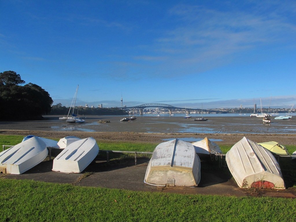
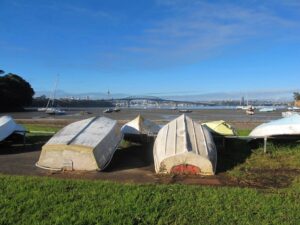
Takapuna Explorer
Our walk around Takapuna on Auckland’s North Shore was in warm winter sunshine. It was great to see so many people out walking – some with their dogs off-leash on the beach (check out the Council dog rules), making the most of the day.

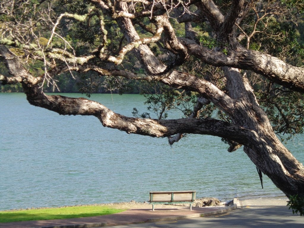
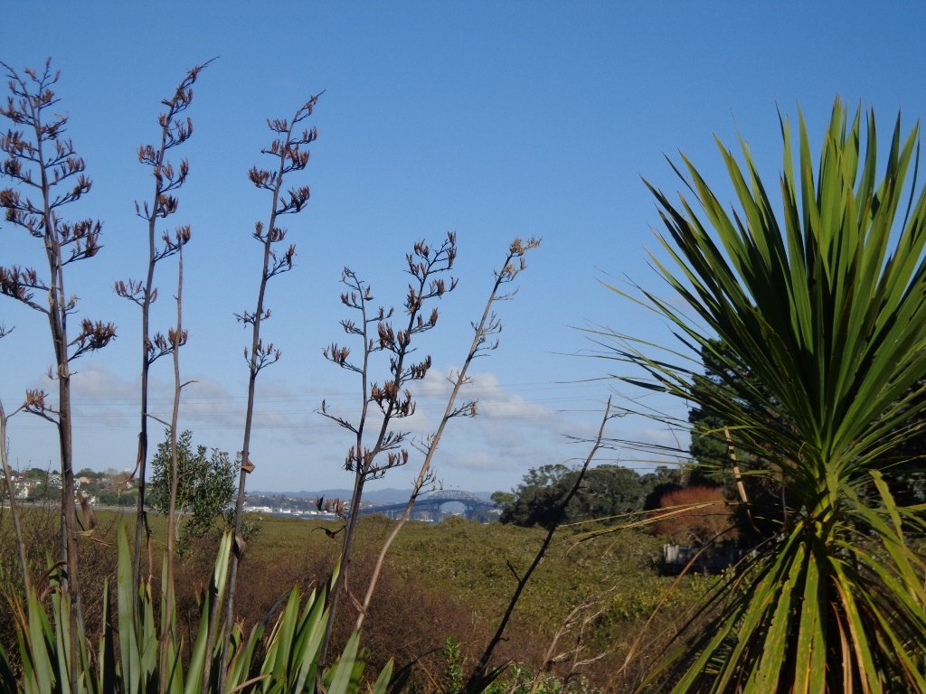
We followed a route documented by Margaret Scrymgeour from her booklet “Explore the Shore”. This walk takes in the sandy shore as well as the mangrove filled estuaries. The walk is quite undulating, so gave us a good workout. The views of Rangitoto are stunning, and we also enjoyed the view to Auckland City, Mount Eden and the Harbour Bridge.
Description: Mix of flat and undulating paths. Suitable for users of average fitness and mobility.
To see: Takapuna Beach, Rangitoto, Mangrove, native birds, ducks
Time: approx. 90-120 minutes. (about 8 kms)
Start: Takapuna Boat Ramp, The Promenade MAP
-
 Takapuna Explorer (8kms)$1.95

Stay on track…get your detailed guide and map (AN-075 Takapuna Explorer) over at our Walks Store and our Book Store (one of 12 walks featured in our book “Coastal part 2”).
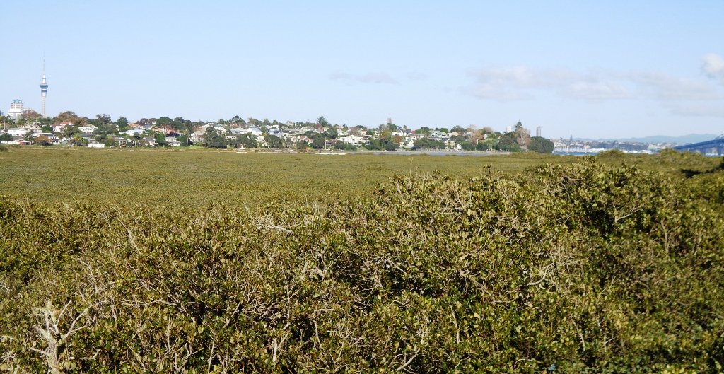
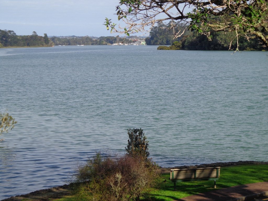
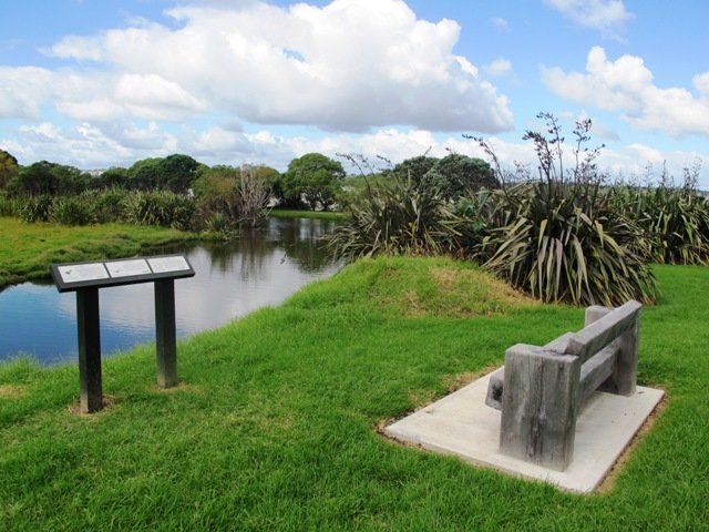
Tahuna Torea nature walk

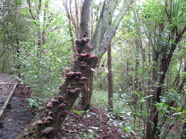
Tahuna Torea is a beautiful nature reserve and wetland (salt marsh and freshwater habitat) in Glendowie, East Auckland. This nature walk follows the estuary edge and through native bush. I was hoping to head there yesterday but the rain was too heavy. Today the skies cleared to reveal a warm autumn day perfect for another walk in Auckland.
The starting point is at Roberta Reserve – it is a space that children can enjoy with a playground in the corner. Roberta Reserve is an off leash dog exercise area, but no dogs are allowed within Tahuna Torea itself because of the shore and wading birds that wander freely in this conservation area.
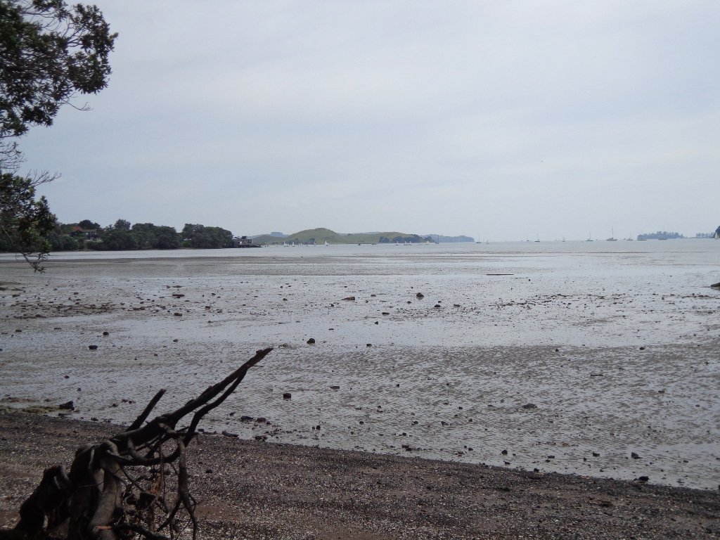
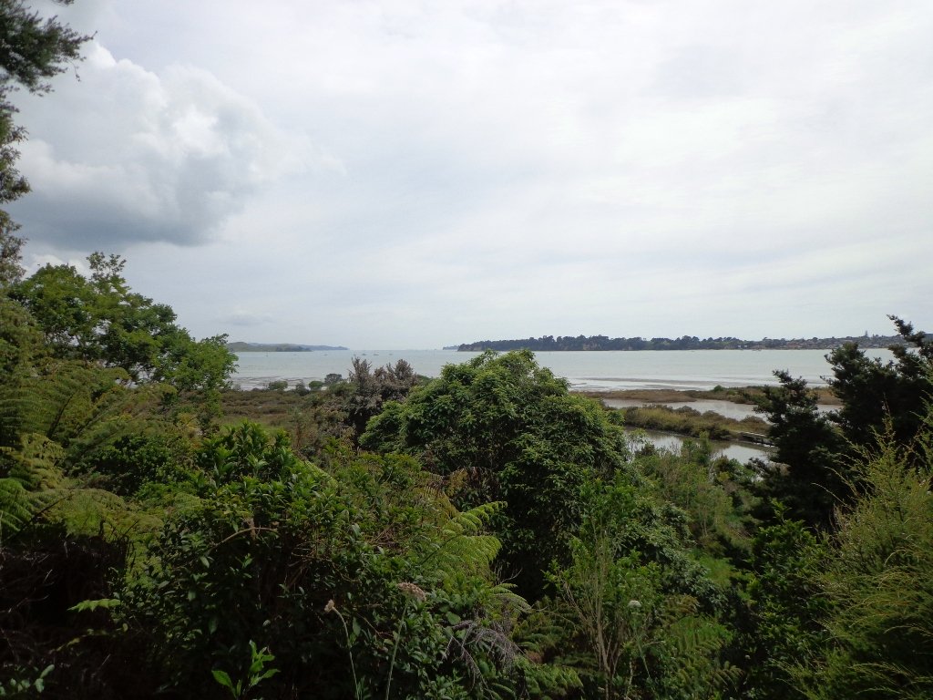
Tahuna Torea introduces you to 25 hectares of unique wildlife sited on a long sand bank extending out into the Tamaki Estuary. It is rich in Maori history as well as native birds and vegetation. Native trees are well sign-posted and there are fabulous views of the sandspit and estuary. There are three main walking trails around the reserve and you can walk them separately or together. It is a fun bush and shore family friendly walk.
Check out the tides before you head out – at low tide you can explore the Sandspit Beach Walks and at high tide you can enjoy the beauty of the water.
Description: : A mix of level path and a steps. Suitable in dry weather. Suitable for most ages and levels of fitness and mobility, designed with flat shoes or running shoes in mind. Not suitable for wheelchairs and pushchairs.
To see: Wilderness Nature Reserve. Estuary views, sand spit, mangrove lagoon, freshwater pond, native birdlife, and native trees, Hauraki Gulf views. Bring binoculars to view birdlife.
Time: approx. 45 minutes. Allow extra time to explore.
Start: On corner of Robert Ave and Riddell Road. MAP
Suggested Café:
Ronnies, Corner of Riddell Road and Roberta Avenue (they do great iced coffees!)
Stay on track…get your detailed guide and map over at our Walks Store (AE-010 Tahuna Torea) and our Book Store (one of 12 walks featured in our books “Urban Bush”, “Coastal part one” and “Best of the East”).

