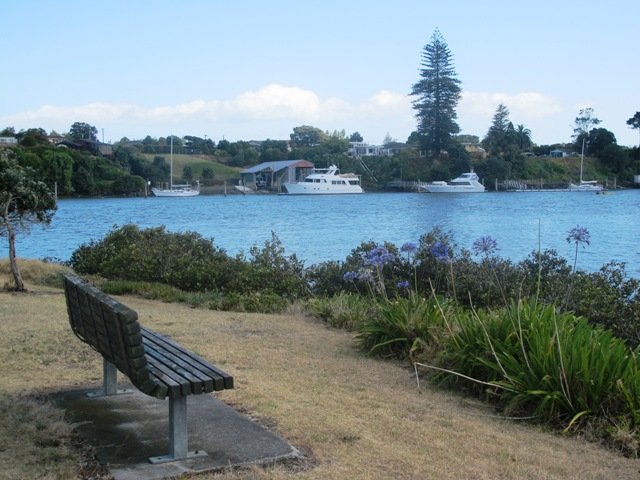
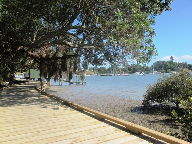
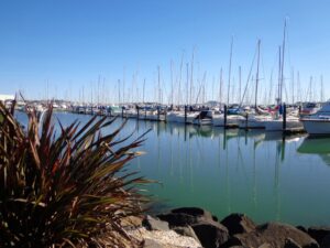
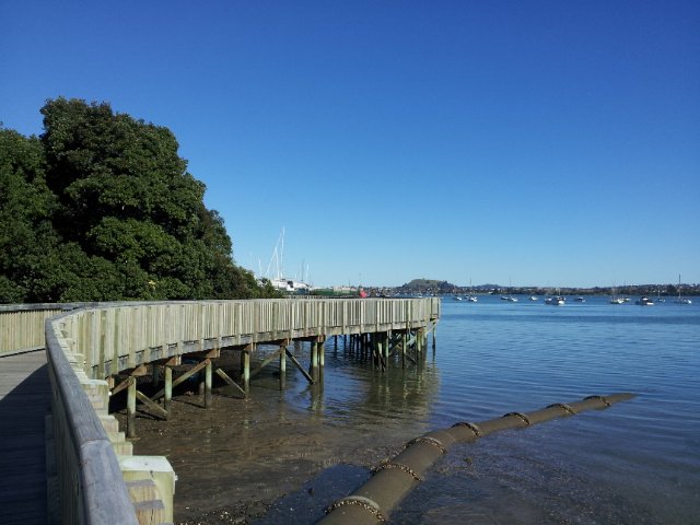
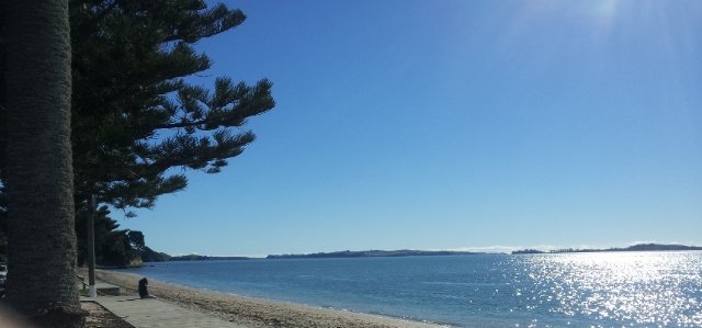
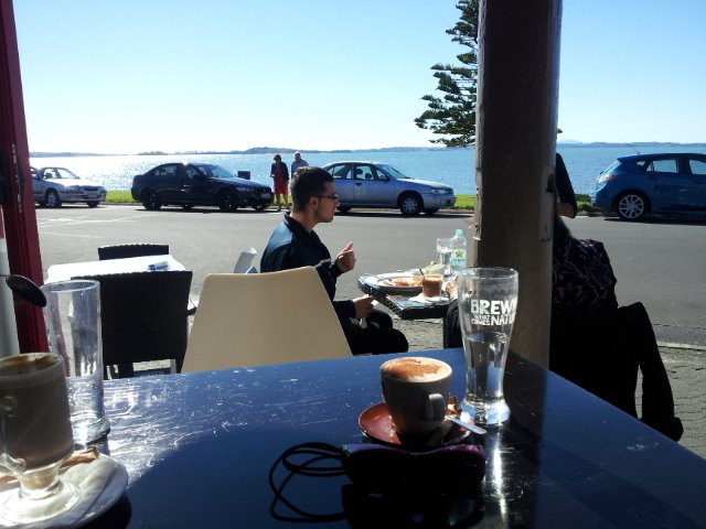
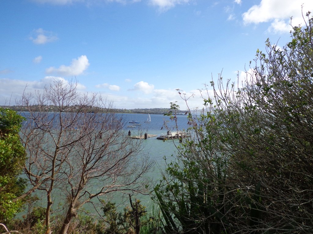
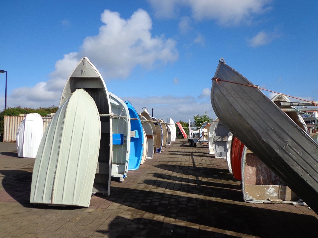
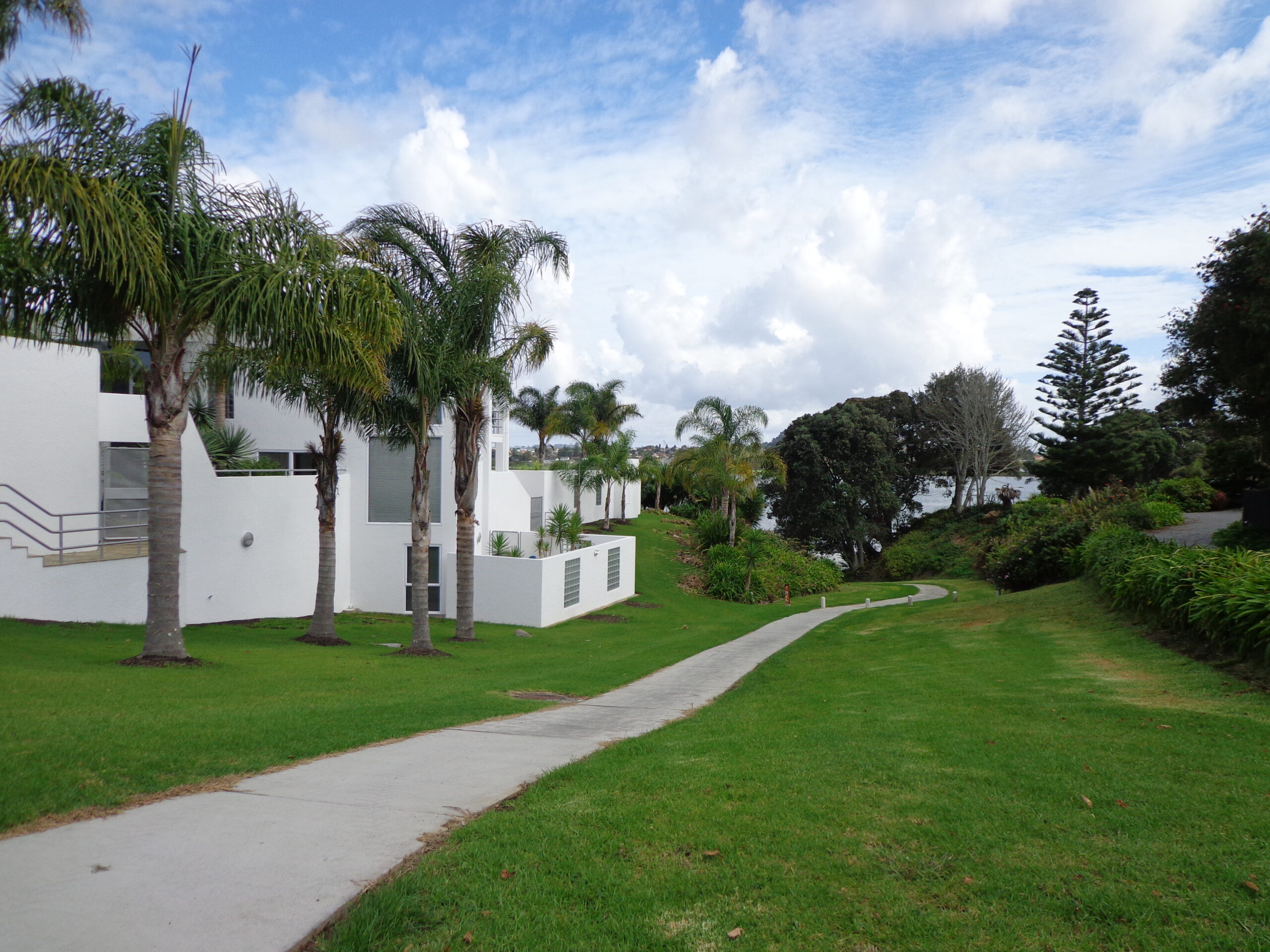
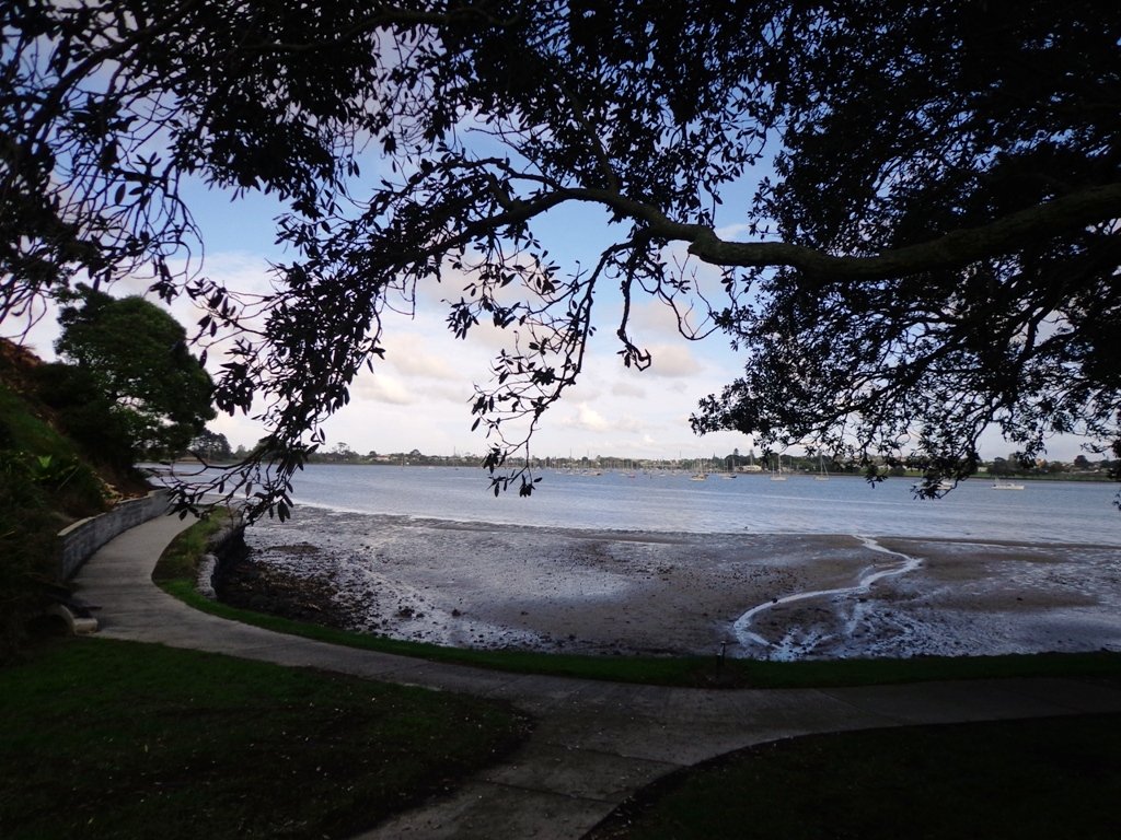
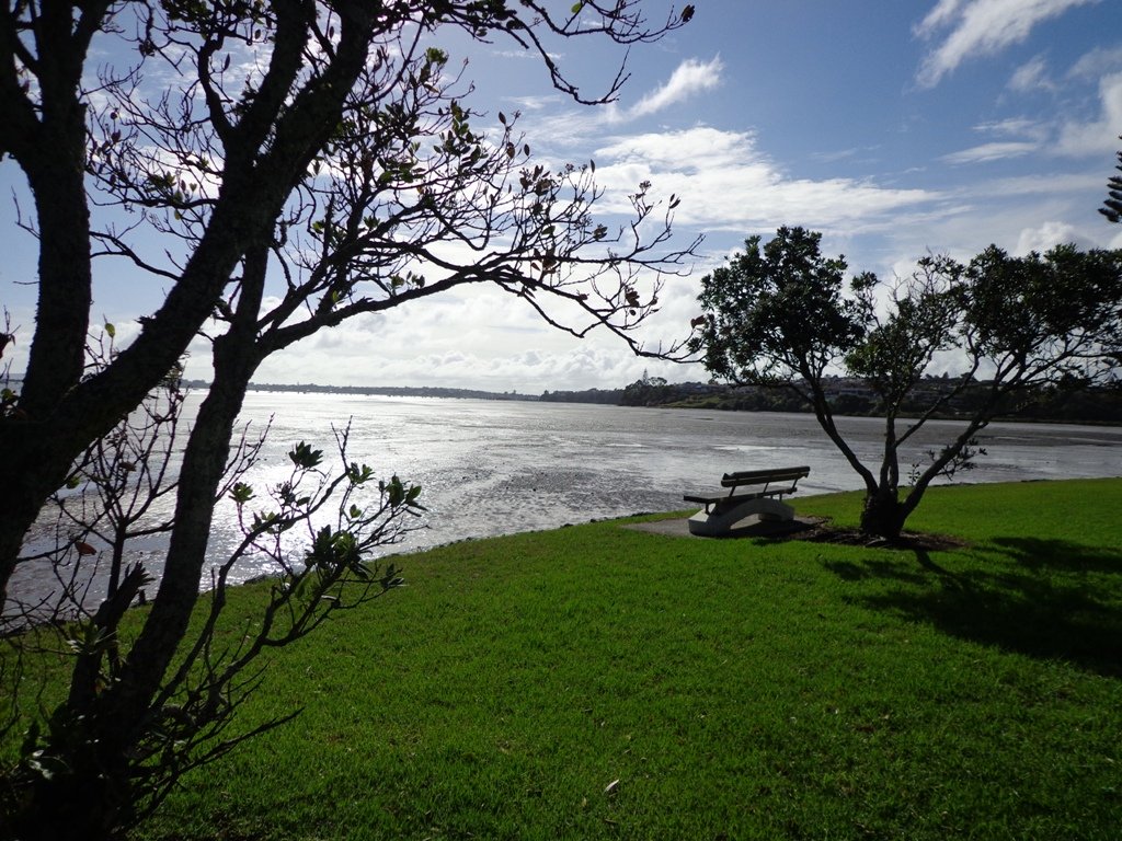
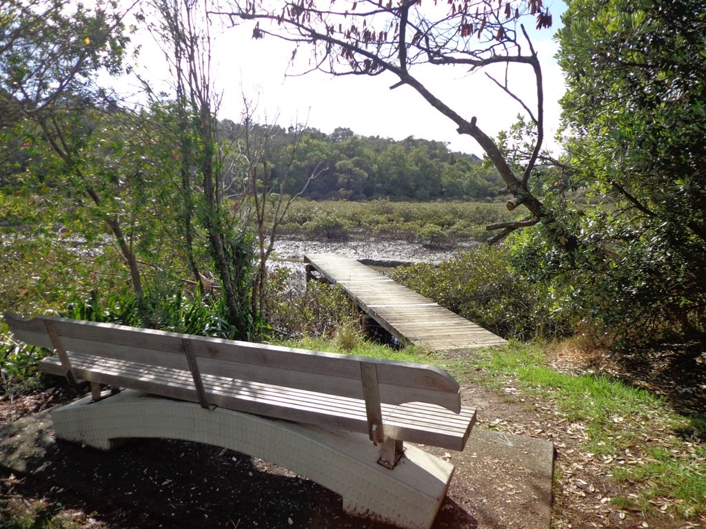
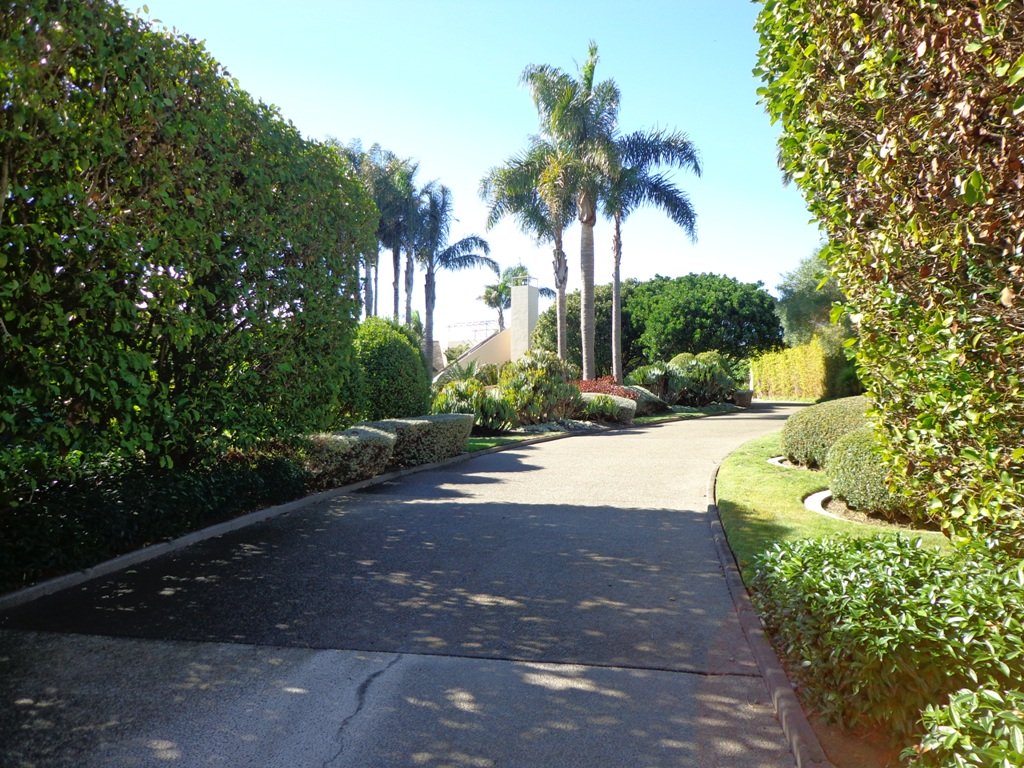
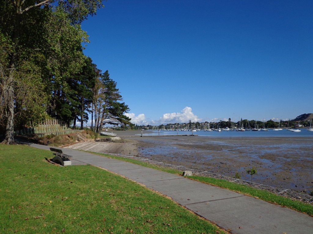
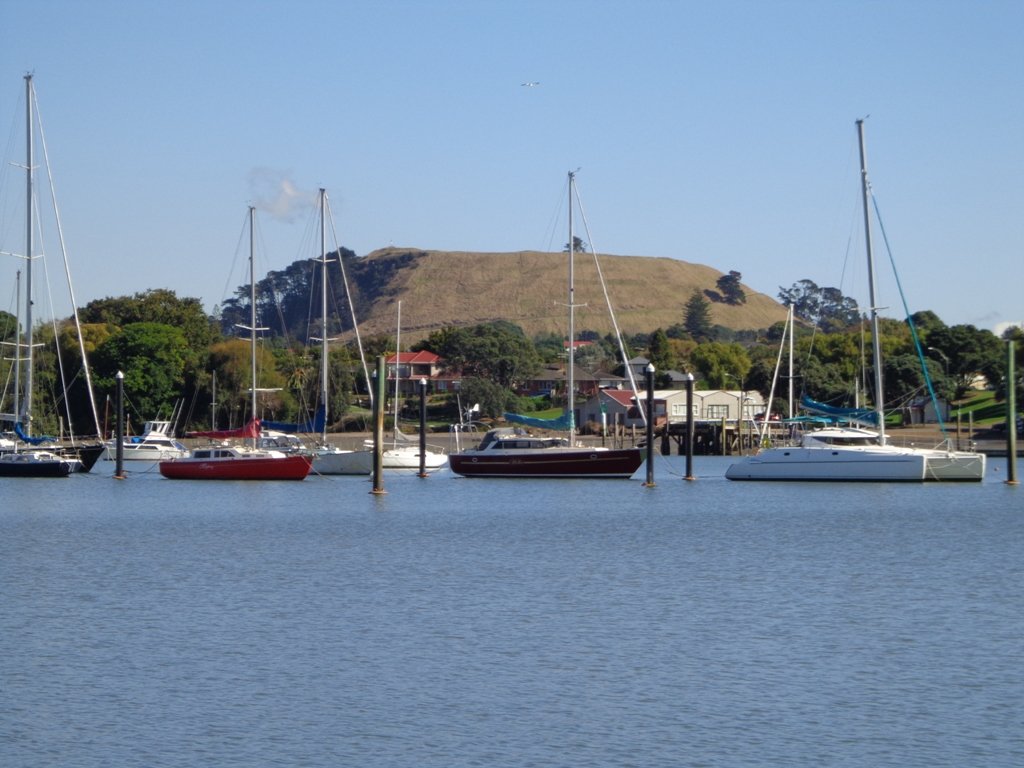
This walk at Half Moon Bay explores the parks and reserves to the east, and then heads down to Eastern Beach. On a sunny day at high tide it is quite beautiful! The new-ish boardwalk, is a great finishing touch as you return to Half Moon Bay.
It was very busy at the Half Moon Bay cafes today – with many people out making the most of the sunny, warm weather and Mothers Day.
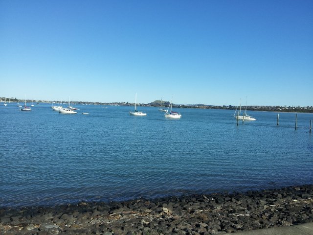
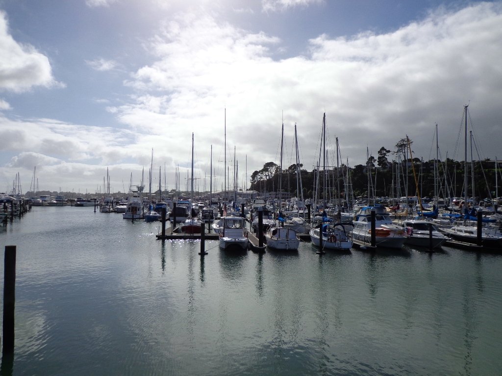
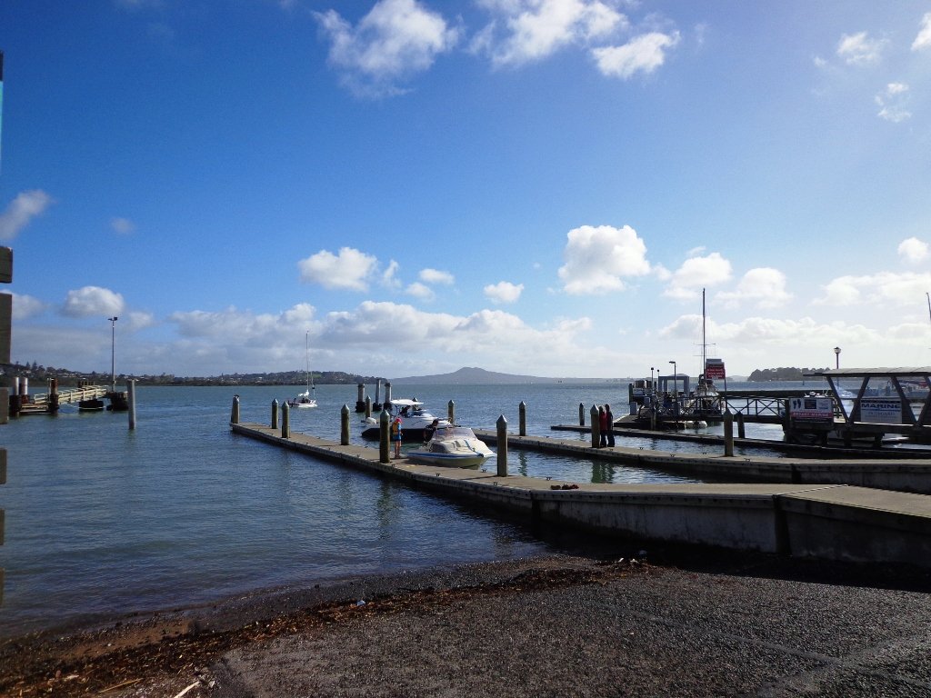
Description: Mainly level paths, steep steps and steep slopes. Suitable for users of average fitness and mobility. To see: Views of Tamaki Estuary, marina, Eastern Beach Esplanade; views of Rangitoto, Mount Wellington and One Tree Hill Time: approx. 75 minutes. (about 6.0 kms) Start from: Half Moon Bay Marina MAP
Stay on track…get your detailed guide and map (AE-072 Half Moon Bay East) over at our Walks Store and our Book Store (one of 12 walks featured in our books “Coastal part 2” and “Best of the East”).
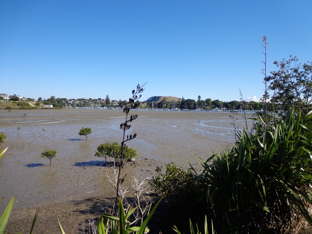
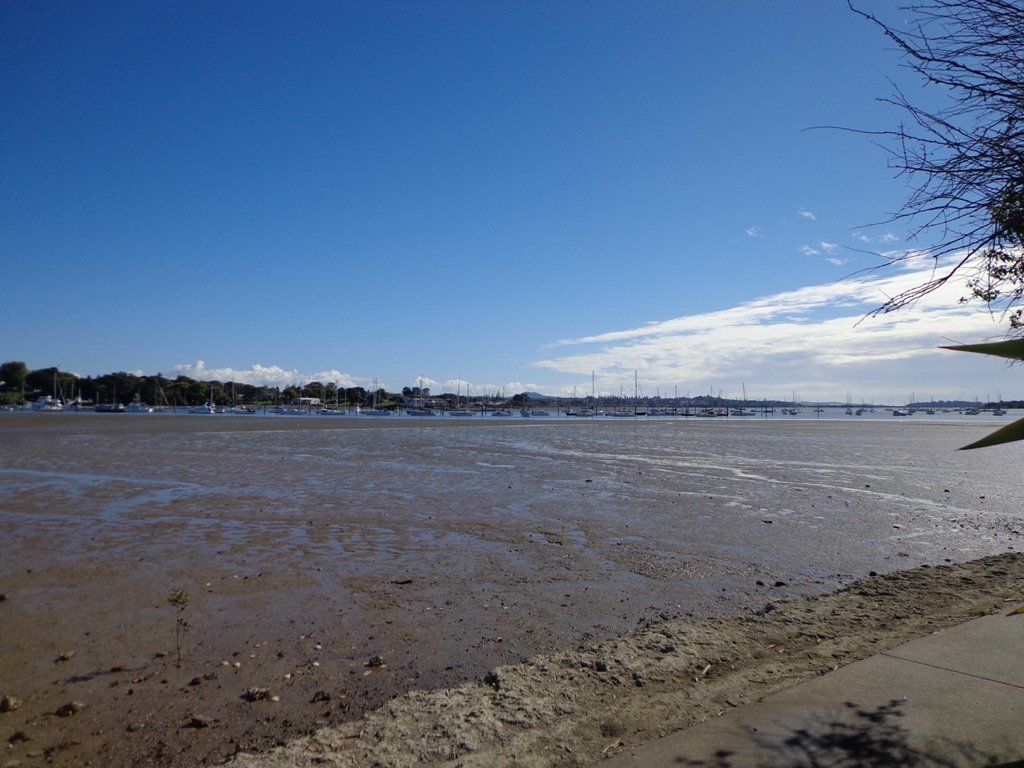
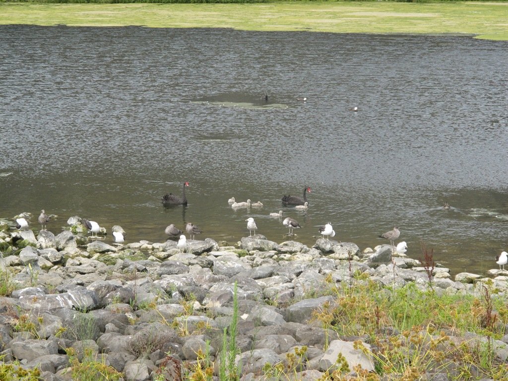
Half Moon Bay was bathed in sunshine this morning – very welcome after a week of rain. The walk west follows the cliff tops with fantastic views of Point England Reserve, Tahuna Torea, Rangitoto and Mount Wellington.
It’s been a while since we had visited Half Moon Bay; the last time there was a lot of building work going on.
We were prompted by Brett to return – this is his suggestion “A great one to commute to by ferry, go for a walk & check out the cafes, restaurants & bar at Half Moon Bay Marina, even a supermarket now at the marina. Best kept secret, free push bikes available from Grangers Restaurant & Bar!” Thanks for the tip, Brett!
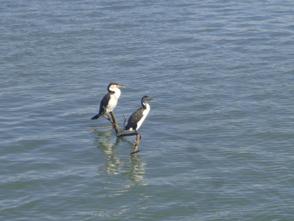
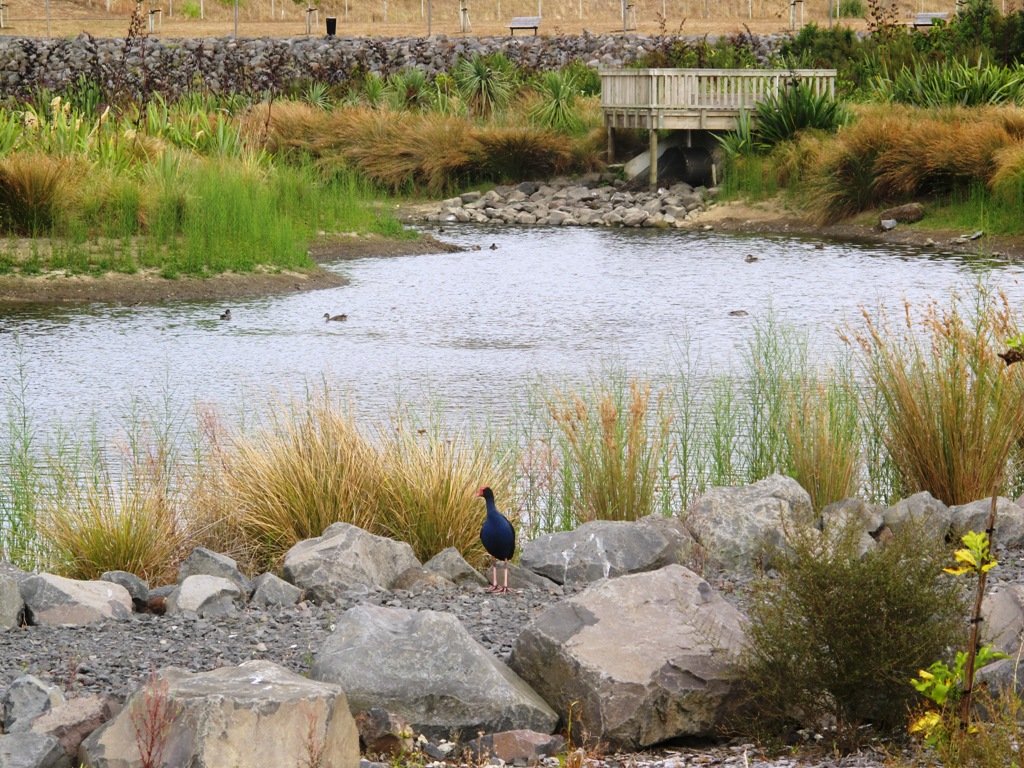
Description: Mainly level paths, some steps and steep slopes. Suitable for users of average fitness and mobility. To see:Views of Tamaki Estuary, Point England Reserve, Tahuna Torea, Rangitoto, Mt Wellington. Wetlands, Pukeko birds habitat. Time:approx. 60 minutes. (about 4.7 kms) Start from: Half Moon Bay Marina off Ara-Tai Road MAP
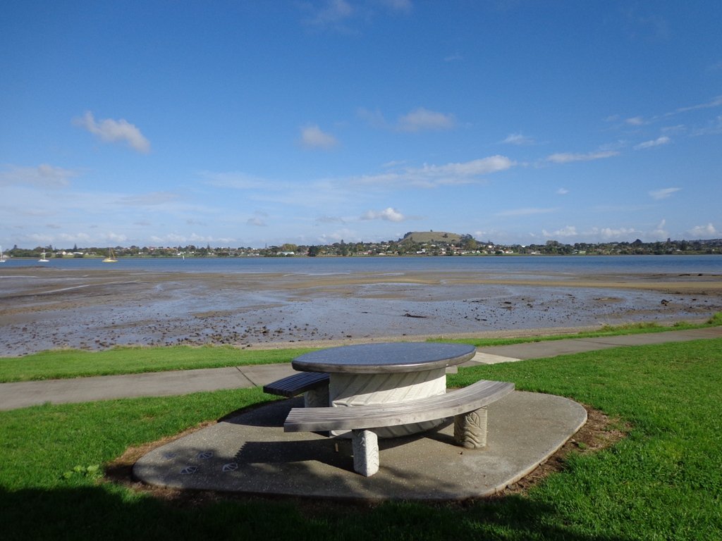
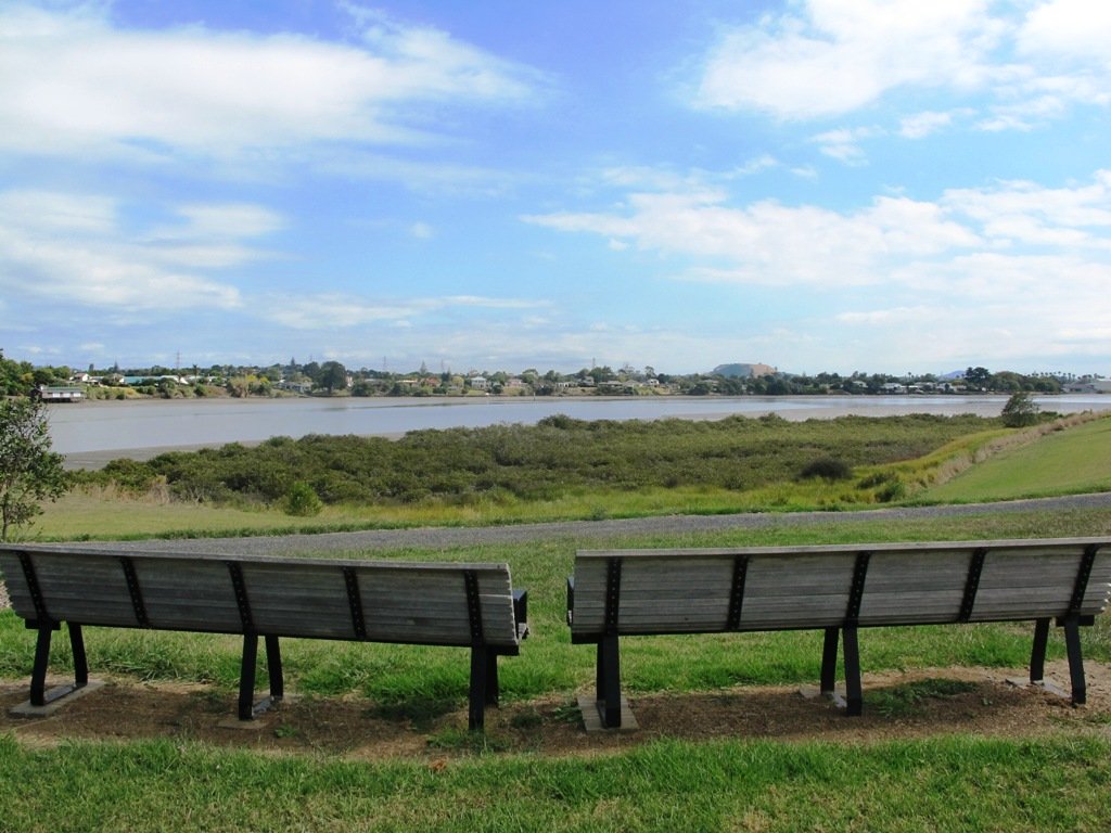
We have now added a fourth loop walk taking in the wonderful Pakuranga Rotary walkway. This 5kms loop walk follows the Tamaki Estuary through Farm Cove and explores the Sunny Hills suburban streets, with views of Mount Wellington and One Tree Hill.
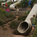
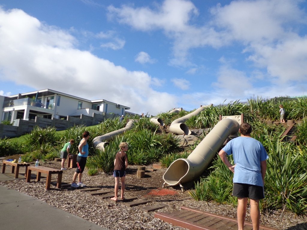
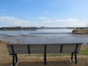
You may wish to cycle the whole 5 kms of the Pakuranga Rotary walkway, or just stop and watch the tide on one of the many seats along the walkway. Families may like to take a fun break on the snakes and ladders playground near the Bramley Drive entrance.
The walking route is also great for prams/buggies and dog walkers (on leash only).
We stopped for coffee at the French inspired deli/cafe Mon Bichon, a delightful surprise in the Farm Cove village shops. You could buy your pastries from here to take and eat beside the walkway…(update: sadly it is no longer there).
Description: Mainly level paths (with one small incline). Suitable for users of average fitness and mobility. Suitable for cycling and push-chairs. To see: Tamaki Estuary, Mangroves, white volcanic pumice deposits, views of Mount Wellington and One Tree Hill, residential homes Time: approx. 60 minutes. (about 5 kms) Start: Fisher Parade, Farm Cove Village MAP
Stay on track…find this walk’s map and directions guide (AE-068 Pakuranga Farm Cove Loop) and other walk self-guides at our Walk Store and our Book Store (“Best of the East”)
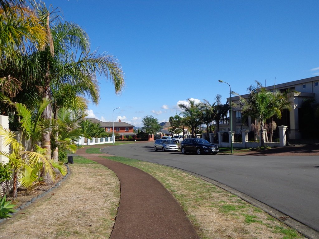
Today we set out to explore another part of the Pakuranga Rotary Walkway, this time taking a loop behind Saint Kentigern College and through Manor Park.
This mainly flat 4km walk would suit workers at Pakuranga Plaza as well as residents. Views of Mount Wellington and water craft. Great for cyclists (cycle the full length of the walkway to Pigeon Mountain) and dog walkers (on leash – please refer to comments below), andfor prams/buggies .
The day was calm and the skies blue – perfect for a walk!
Description: Mainly level paths. Suitable for users of average fitness and mobility. To see: Views of Mount Wellington, water craft, residential homes Time: approx. 45 minutes. (about 4.0 kms) Start: Pakuranga Plaza MAP
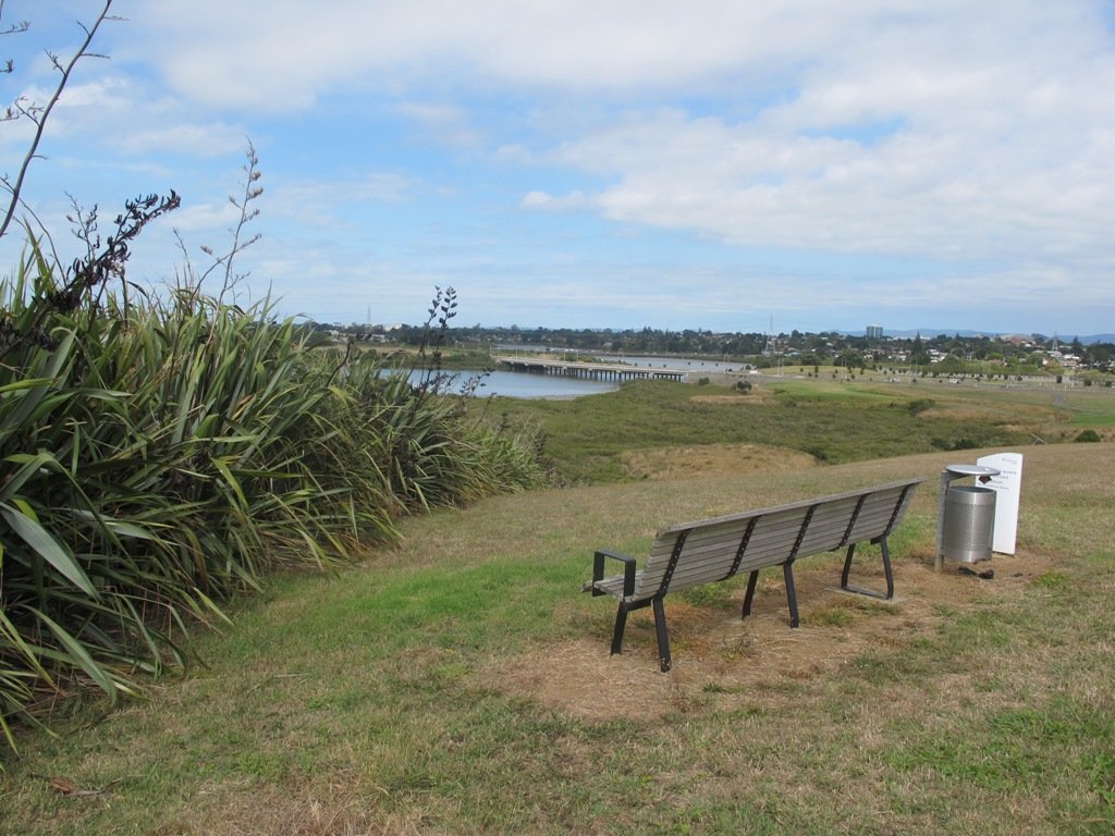
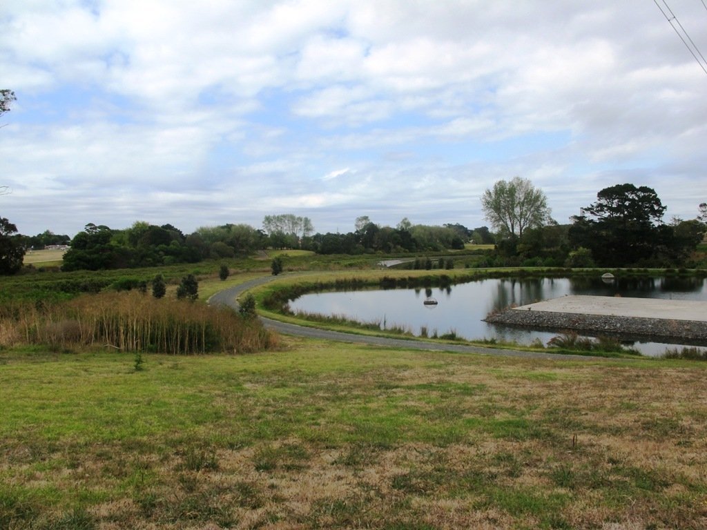
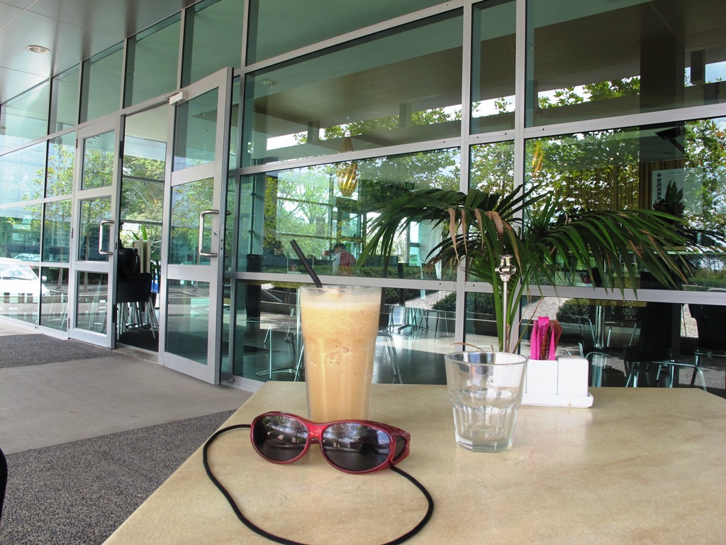
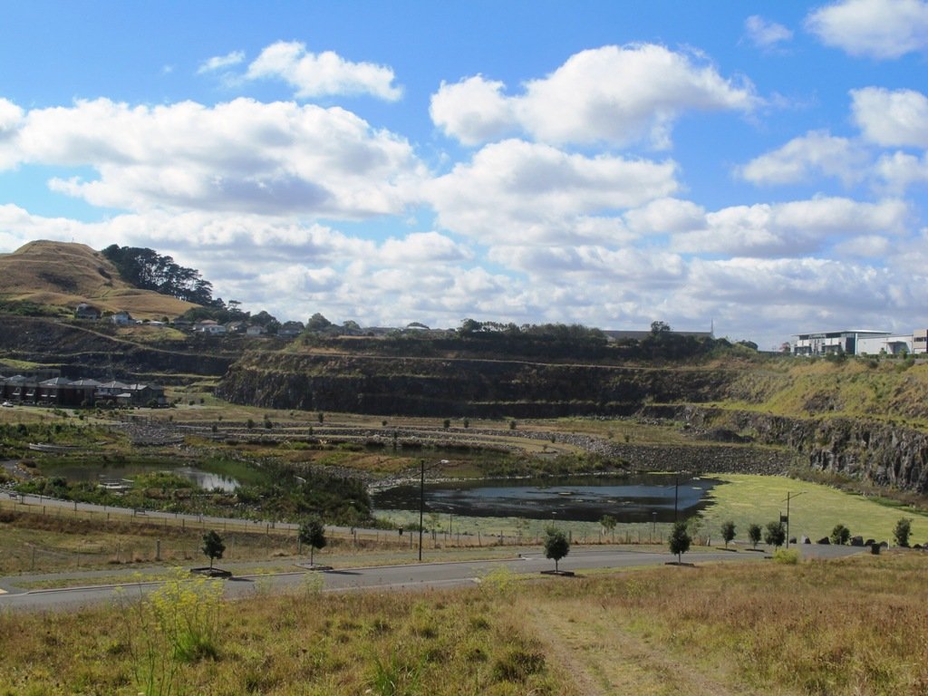
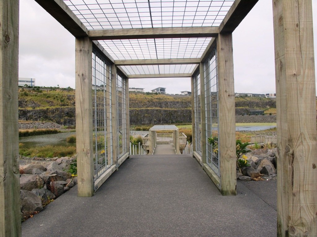
If you have been out to Highbrook Business Park in South Auckland, you may have noticed a walkway along the waters edge to the north. This has intrigued my friend and I for some time, so today we set out to explore and work out a way to include it an interesting circular walk.
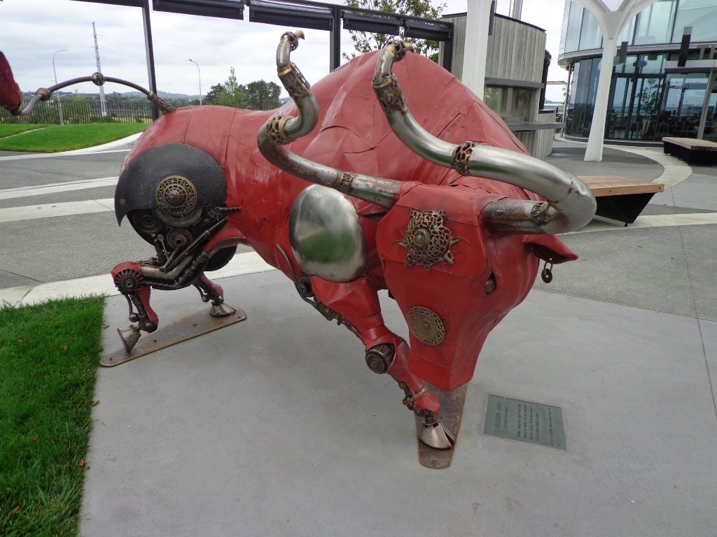
Mission accomplished and rewarded with a delicious iced coffee at Highbrook Park’s Sierra Cafe! **Update December 2014** There is now a further selection of cafes and eateries at The Crossing (we had coffee at The Light Horse).
According to “Volcanoes of Auckland, the Essential Guide” Highbrook was developed as a racehorse stud farm before it was converted to a business park. The explosion crater’s proper name is Pukewairiki which means “the hill with the associated small lagoon”. The crater floor is now salt marsh and mangrove forest.
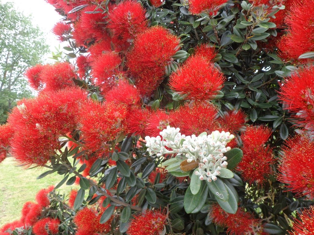
The pathway along Highbrook Park is safe for family cycling. This walk does not include a playground and would be suited for older children. Look out for the pohutukawa blossoms early summer. There is an off-leash dog exercise area on the Otara Creek (south) side of this walk.
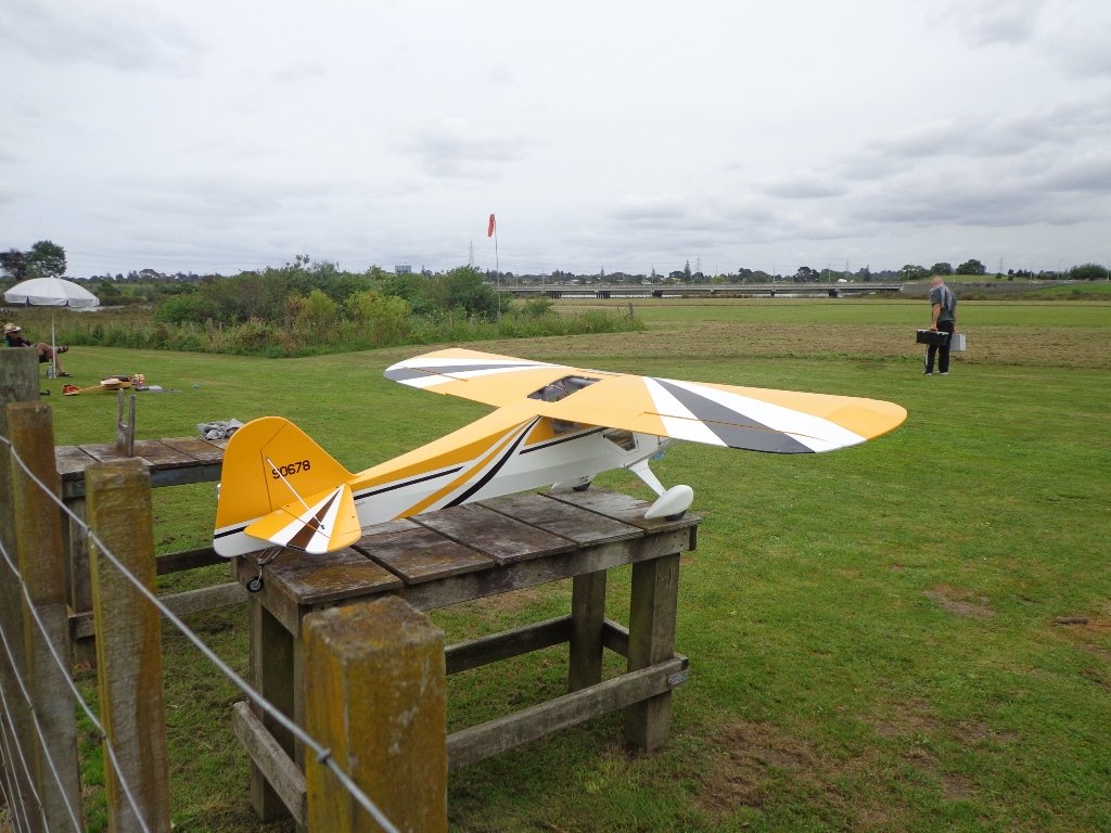
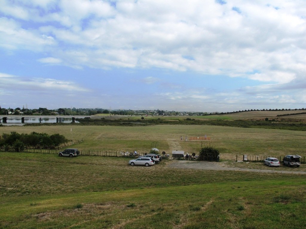
Description: A mix of level and slightly hilly paths. Suitable for users of average fitness and mobility. Suitable for mountain bikes. To see: Pukekiwiriki Crater, wetlands, views of Tamaki Estuary, Otara Creek, Pakuranga Creek, Mount Wellington and other volcanoes, Highbrook Model Airpark. Time: approx. 75 minutes. (about 5.8 kms) Start: Business Parade North, Highbrook MAP
Stay on track…get your detailed guide and map (AS-063 Highbrook Park Loop) over at our Walks Store and our Book Store (one of 12 walks featured in our books “Dog Friendly Walks part 1” and “Best of the South”).
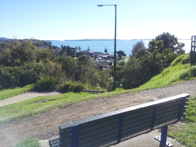
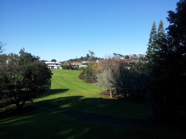
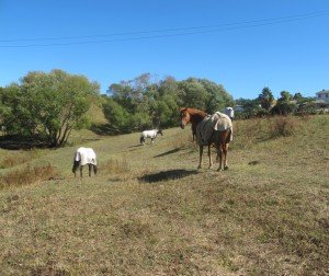
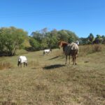
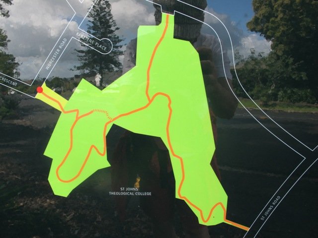
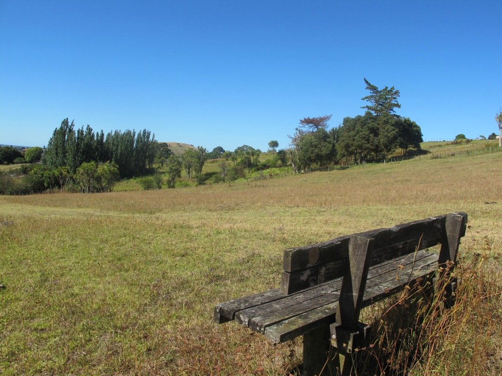
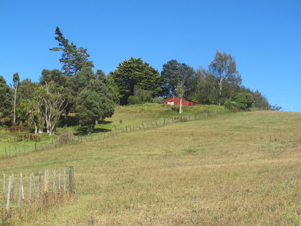
This walk makes use of the reserves within walking distance of Glen Innes Train Station. We visit the horse paddocks of Apirana Reserve with views of Mount Wellington, Eastern Beach and on a clear day, the Coromandel (this is part of the 7.5km Point to Point Walkway) and then walk through the native bush within St Johns Bush.
Apirana Reserve is part of the Point to Point Walkway
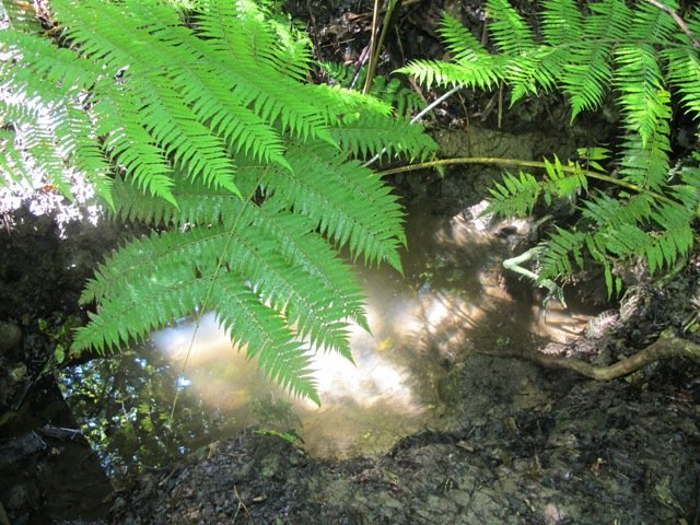
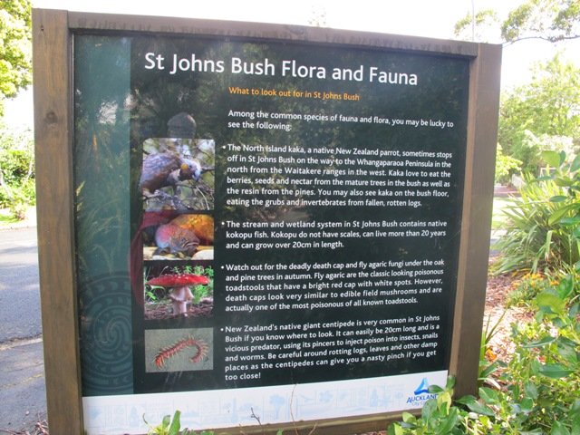
St Johns Bush is a green corridor for birds flying across Auckland. There is a wetland area with native fish. This area is home to over 165 different species of plants. The kauri tree is over 150 years old.
Joining up reserves to minimise street walking is a challenge, but we are very fortunate to have so many green spaces in Auckland. Our dream is that some time in the future, the reserves will be linked together to help us commute safely by bicycle or on foot (and hopefully wheelchairs), from one area to another, minimising road use.
Dogs- off leash exercise area in Merton Reserve.
Description: A mix of level and hilly paths. Suitable for users of average fitness and mobility. To see: St Johns Bush native trees and ferns, residential housing, reserves, horse paddocks,views of Eastern Beach and the Coromandel, city skyline view Time: approx. 60 minutes. (about 4.5 kms) Start: Glen Innes Train Station MAP
Stay on track…get your detailed guide and map over at our Walks Store (AE-061 Apirana Saint Johns Loop) and our Book Store (one of 12 walks featured in our books “Dog Friendly Walks part 3” and “Best of the East”).
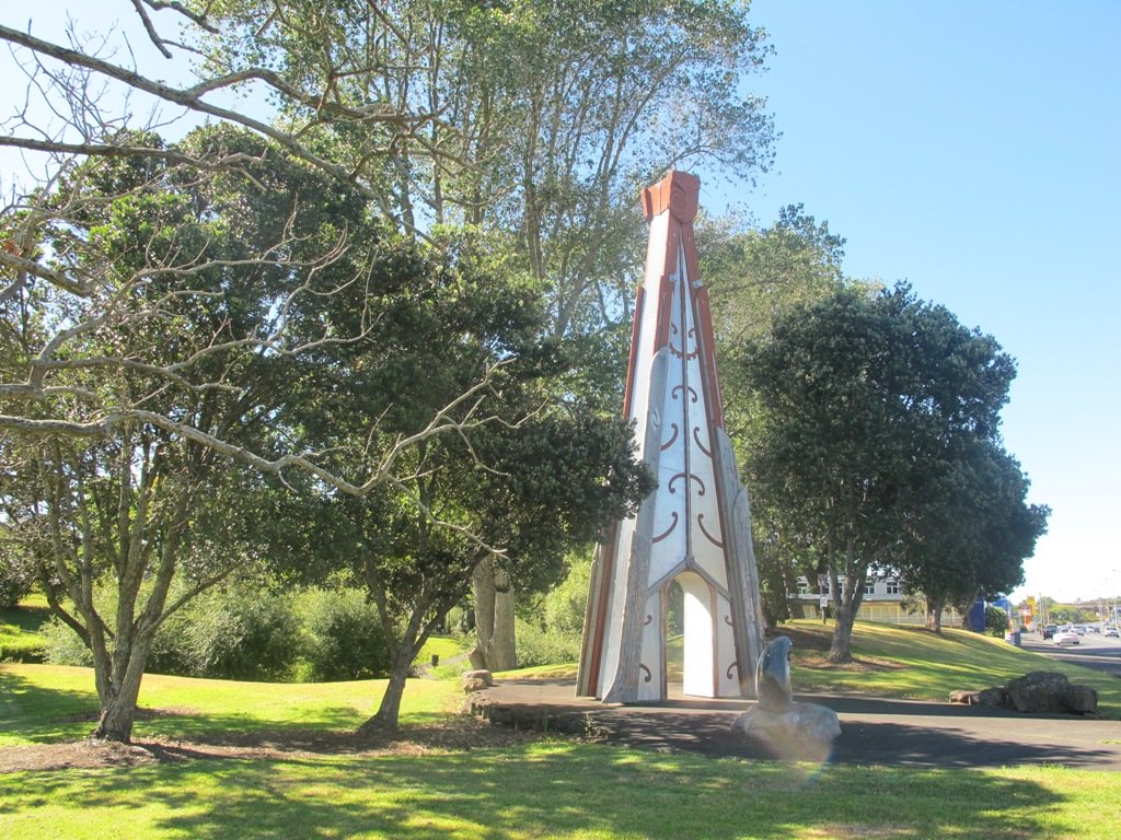
This walk around the base of the Mount Wellington volcanoe explores the Stonefields residential development, the Maungarei Springs Wetland and the businesses along Lunn Avenue. You may wish to extend the walk by heading up to the summit of Mount Wellington for views over Auckland, or explore the streets and houses of Stonefields.
The volcanic site of Mount Wellington was formed 9000 years ago. It was used as a village by the Maori with evidence dating back 600 years ago. Winstones Limited began quarrying stone here back in 1936—and much of the stone was used for building Auckland. In 2001 the site was sold and is still in development as a large residential area.
Description: A mix of level and slightly hilly paths. Suitable for users of average fitness and mobility. To see: Mount Wellington, Maungarei Springs Wetlands, re-used stone quarry (Stonefields) Time: approx. 45 minutes. (about 4.0 kms) Start: Mitre 10, Lunn Avenue MAP
Stage Four of the University of Aucklandshort walks project, with five walking circuits starting and ending from the Tamaki campus in Morrin Road.
If you would like free copies of these PDF brochures, please leave your request in the comment box below.
Stay on track…get other detailed guides with maps from our Walks Store
Point England Loop
This walk takes you through Glen Innes and Maybury Reserve (and its rows of feijoa trees) to the edge of Point England Reserve returning through a character-filled Glen Innes residential street.
Time: approx. 40 minutes. (about 3.75 kms)
Stonefields Loop
This walk winds through Stonefields to Maungarei Springs Wetlands.
Time: approx. 40 minutes. (about 3.6 kms)
Apirana Reserve Loop
This walk takes you off the suburban streets into the countryside and horse paddocks, with views from the top of the hill of Eastern Beach and the Coromandel on a clear day, and Mount Wellington close by.
Time: approx. 45 minutes. (about 4.2 kms)
Eastview Reserve Loop
Refresh and revive amongst the trees in Taniwha and Eastview (mature oak trees) Reserves.
Time: approx. 45 minutes. (about 4.0 kms)
The Goldsbury Track Loops
Take in a Reserve before winding through Stonefields to the Gollan Road Pedestrian Trail. Snatch views of Mt Wellington, Mt Eden, Mt St John, Mt Hobson, One Tree Hill and the top of the Sky Tower.
Time: approx. 45 minutes. (about 4.19 kms)
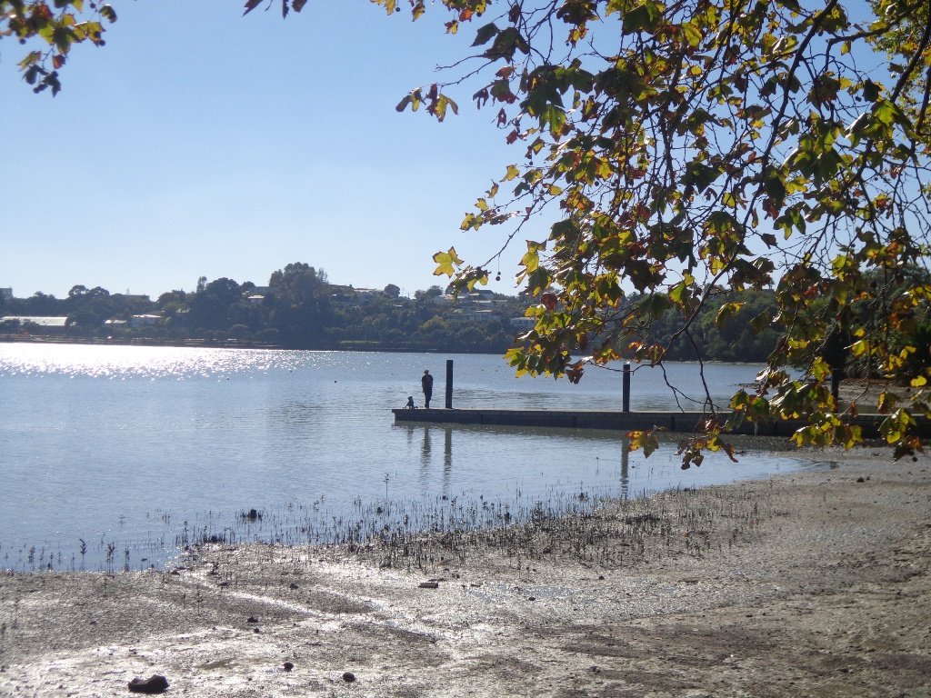
Part of our Pakuranga Loop Walk is along the Pakuranga Rotary Walkway which currently extends to Pigeon Mountain, along the Tamaki Estuary and Whakaaranga Creek.
It is a safe cycling, jogging and walking route. The walkway is paved and relatively flat, making it suitable for wheelchairs, pushchairs and a range of fitness levels. The walkway along the estuary is safe for family cycling.
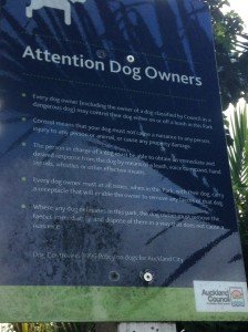
The walking route is also great for prams/buggies and dog walkers (on leash). There is an off leash dog exercise area – along the Pakuranga Rotary Walkway between the Panmure Bridge and Waakaranga Reserve which permits dogs off-leash under the owners control. This is a huge off leash walk but most people do not know about. This sign can be found at the entrance to the walkway at Kerswill Place. See Auckland Council dog rules.
These flat river plains were used to grow oats, hay and wheat up until the 1950’s. Pakuranga was then known as “the granary of Auckland”.
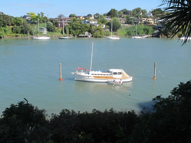
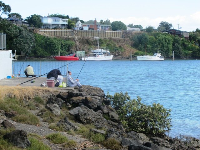
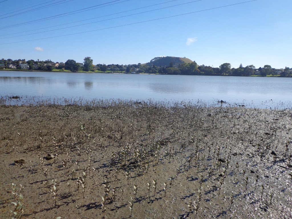
This walk section looks into the mouth of the Panmure Lagoon from the opposite bank.
Description: A mix of level paths and slightly inclined paths. Suitable for users of average fitness and mobility. To see: Estuary views, boats, wetlands, residential housing, Mt Wellington, Pakuranga Mall Time: approx. 40 minutes. (about 3.75 kms) Start: Pakuranga Mall Map
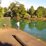
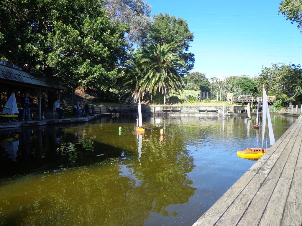
It takes only 30 minutes to walk around the Panmure Basin – another Auckland volcanic crater, but if you take young children with you then it may take longer. Take the tricycles and scooters – this is a mostly flat walk, as there are only two steep bits.
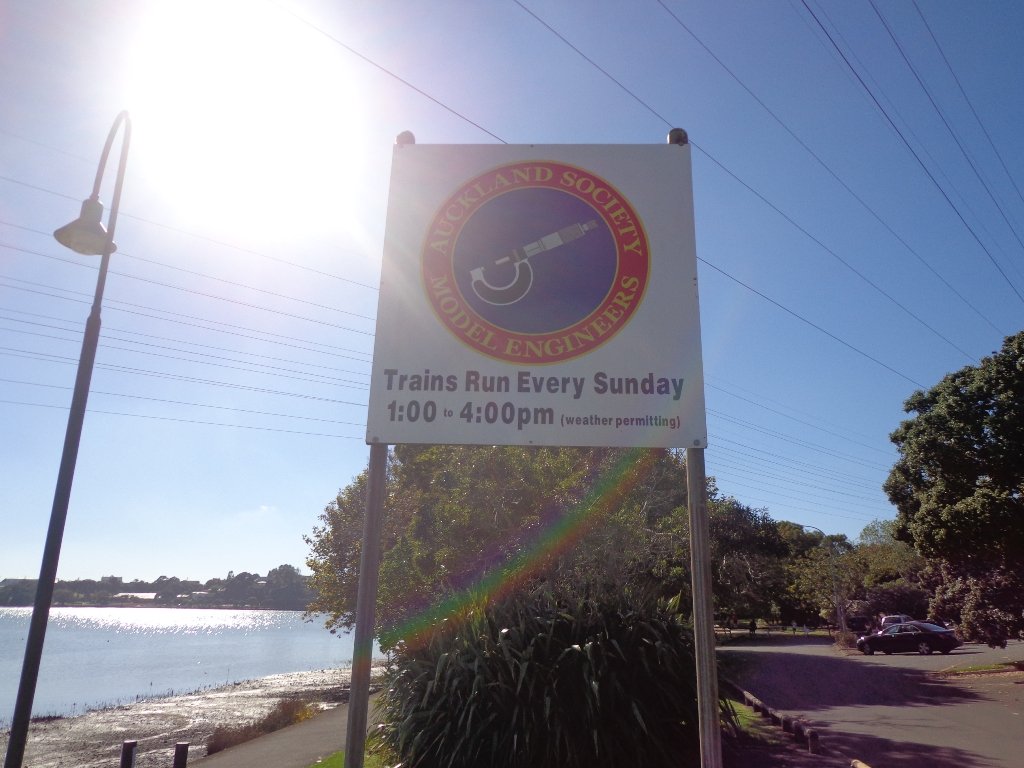
Panmure Basin is a fun family walk in Auckland with several distractions – there is access to 3 playgrounds, and on weekends there is a mini-train ride (runs on Sundays from 1pm to 4pm) and you can stop and watch people controlling their boats on the pond. Keep an eye on the tide chart – it does look prettier at high tide.
You can see the nearby volcano cone of Mt Wellington from the lagoon and if you look carefully from the Jubilee Bridge, One Tree Hill in the far distance.
Nearby is a skate park and theLagoon Leisure and Fitness Centre, Lagoon Dr, Panmure – Here you’ll find outdoor pools, a hydroslide, diving boards, and an adventure playground – all kid magnets in the summer. The outdoor area and gardens with barbecues and shaded picnic tables are great for family picnics and functions (source NZ Herald).
The walking route is also suitable for prams/buggies and dog walkers (on leash only). This walk has a fitness trail.
Also nearby is Mount Wellington Domain which is fun to explore and has great views of Auckland.
This area does lack nearby cafes but if you have a car you may want to venture to Pakuranga Plaza or Sylvia Park.
Description: Mostly level path, only 2 slight inclines. Suitable for users of average fitness and mobility. Running shoes suitable in dry weather. To see: Mt Wellington, boats, water birds Time: approx. 45 minutes. (about 4 kms) Start: Panmure Train Station MAP
Stay on track… download this walk (AC-045 Panmure Basin) for free


 Point England Loop
 Stonefields Loop
 Apirana Reserve Loop
 Eastview Reserve Loop
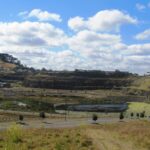 The Goldsbury Track Loops