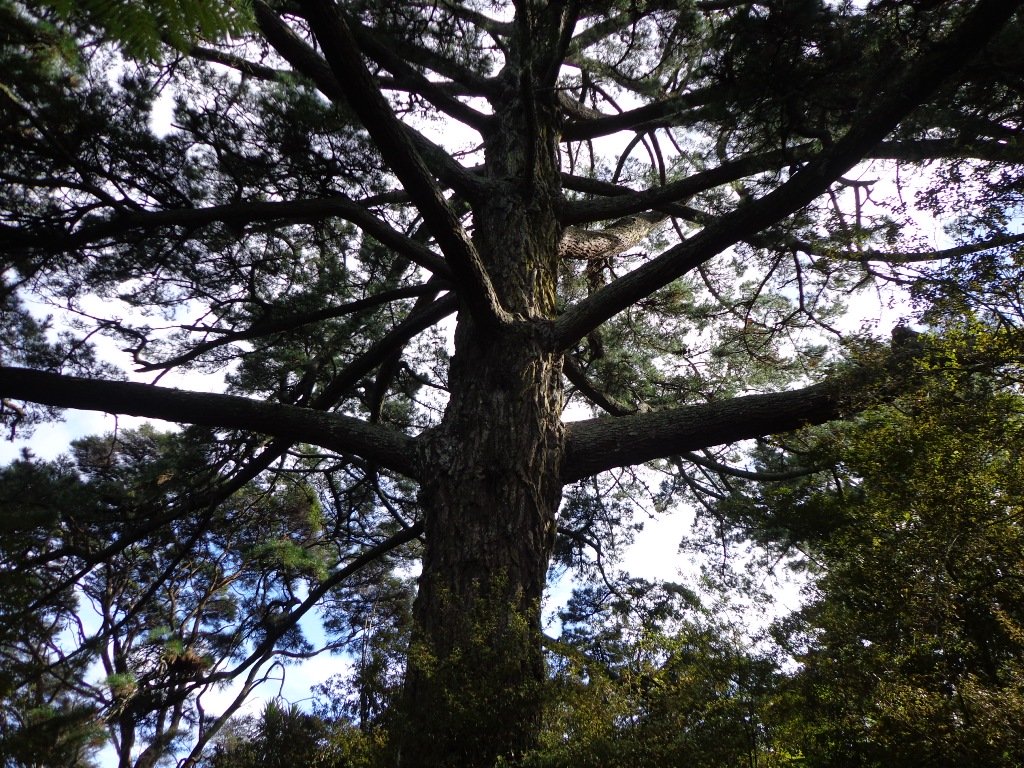
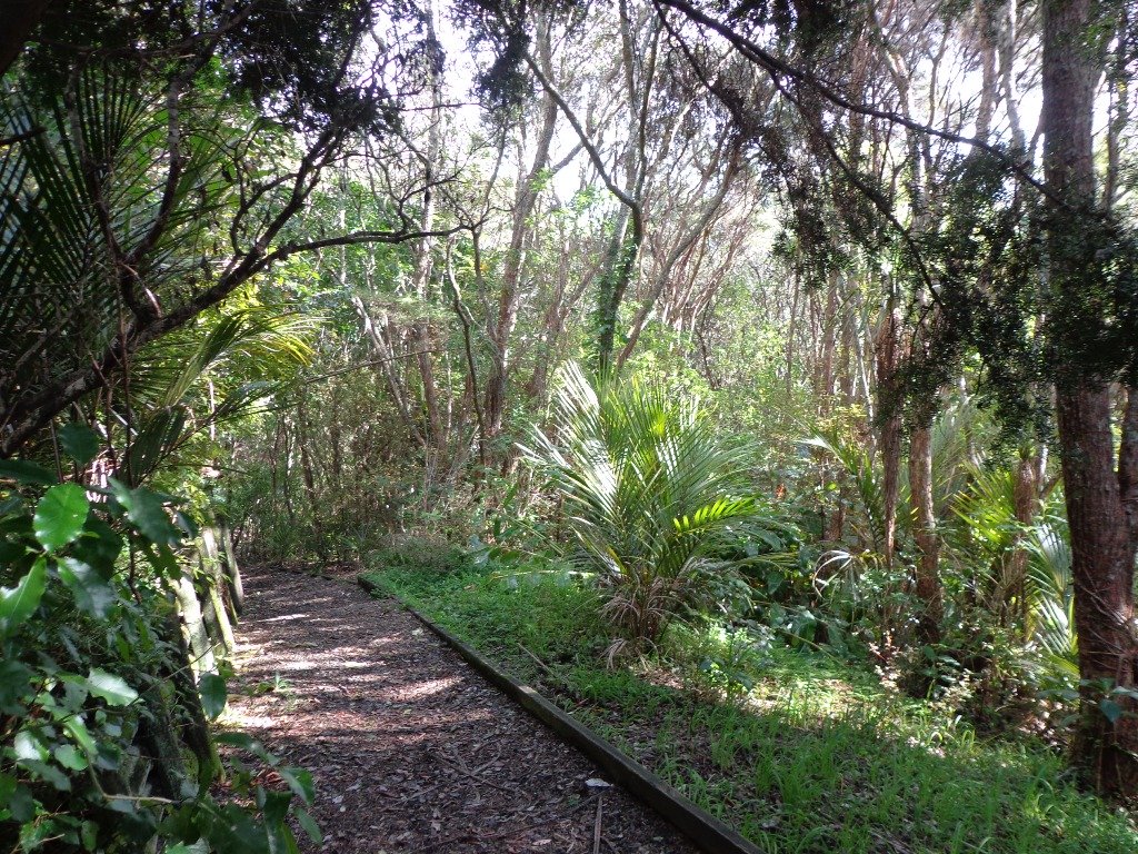
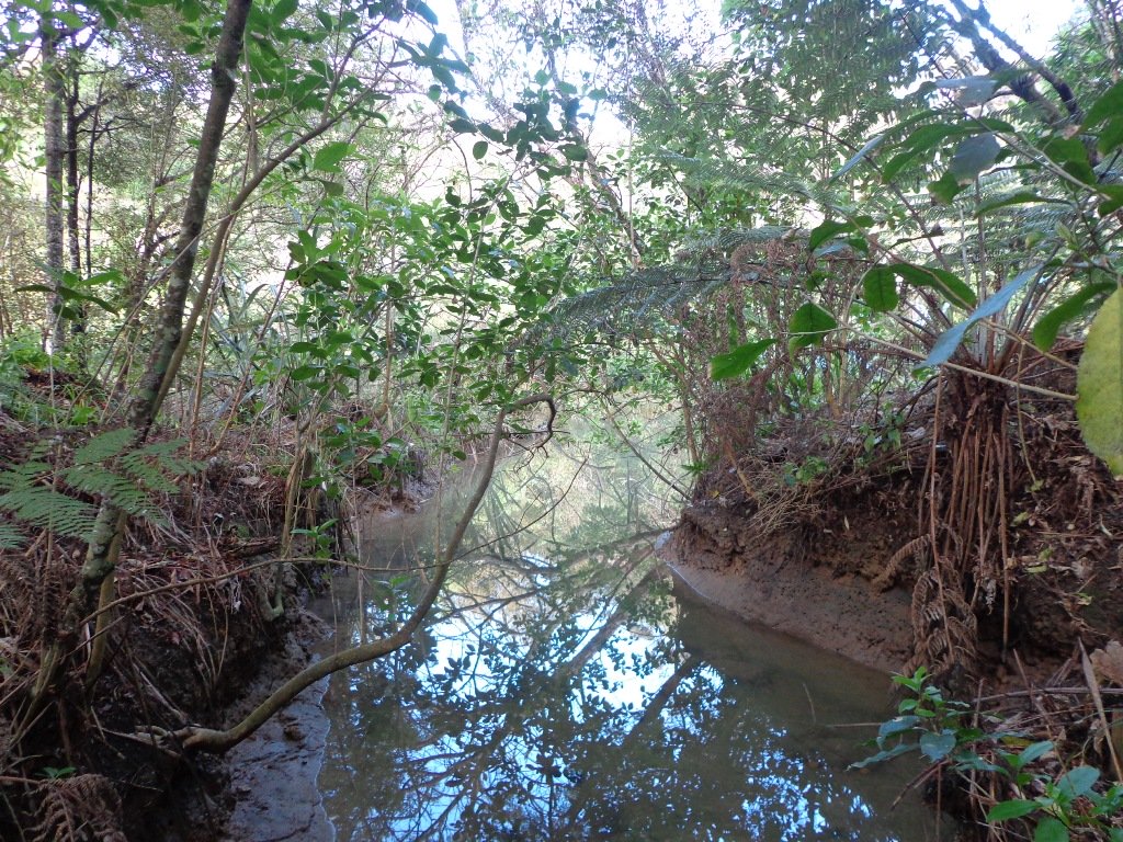
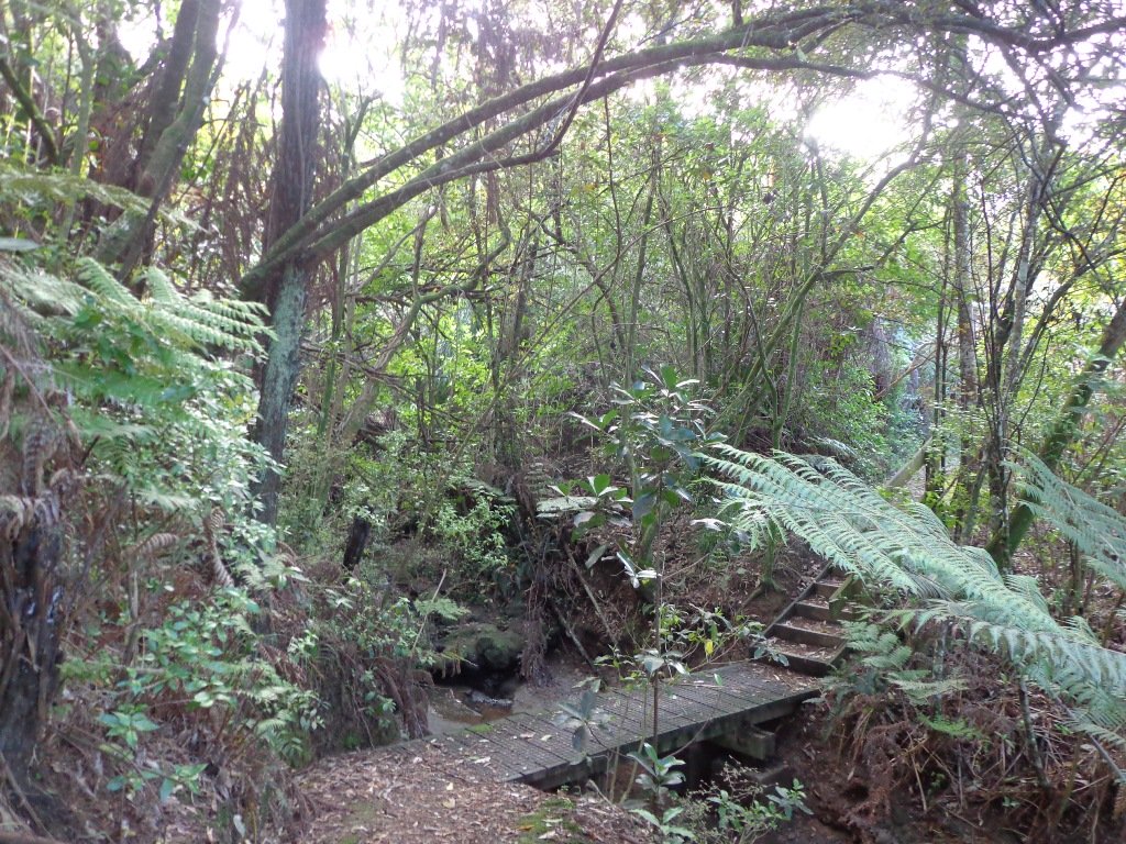
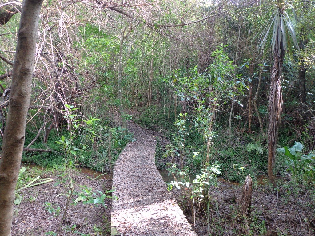
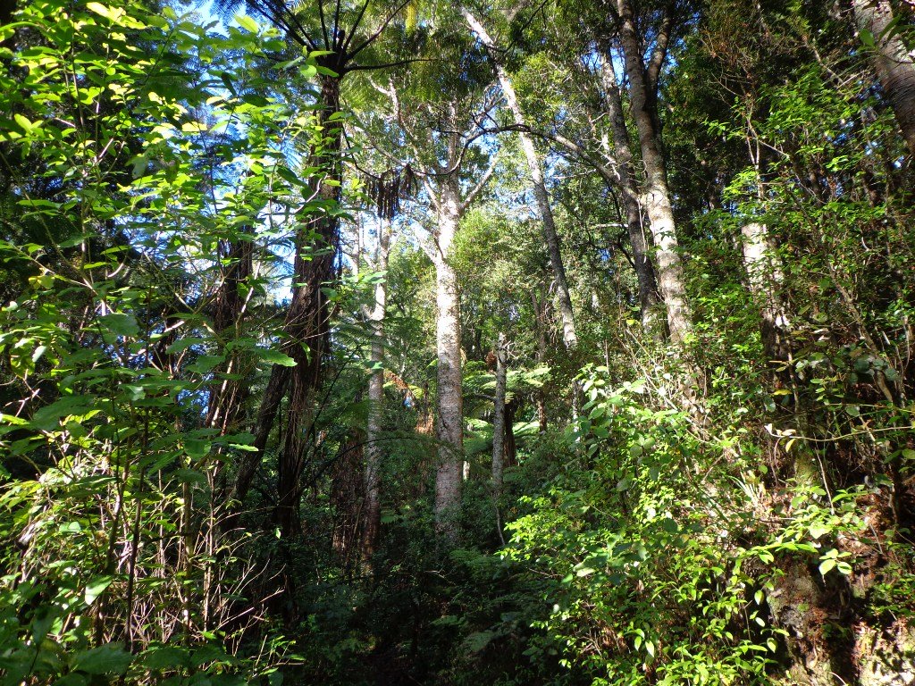
Beautiful spring sunshine, great friends, our dog and a simply wonderful track and environment. Today we enjoyed walking the long-version of the Puhinui Stream Forest Loop – great native bush, parklands of Totara Park and a picnic – the kids even had a swim in the stream, not really a swimming paradise but lots of fun!
One of East Auckland’s most scenic and popular walkways, the coastal Rotary Walkway in Pakuranga is a most do! It winds its way along the verge of the Tamaki River from Panmure Bridge, eventually finishing at Halfmoon Bay (via a few extra streets and paths).
The distance is 10.5km one way, so a significant walk if you are to do the return trip, but well worth it! There are plenty of options to complete portions of the walkway also and our Google Map will display all the possible entrances/exits along the Rotary Walkway. You will also find the Map will assist you greatly in navigating the Halfmoon Bay section of the walk.
Rotary Walkway: photo from Auckland City Council
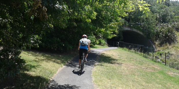
This walk is suitable for bikes, buggies and wheelchairs, so great for any person/family, although at the halfmoon Bay end of the adventure there are a couple of flights of pretty steep stairs.
Walk Time
1 – 5 hours (10.5km one way)
Surface
Paved and Boardwalk
Difficulty
1 – 2 – the first 8.5km is mostly flat and on the Rotary Walkway. The final 2km has hills and stairs as it traverses through various streets and walkways to Halfmoon Bay.
Buggies/Wheelchairs
Excellent walkway for buggies & wheelchairs. The final 2km towards Halfmoon Bay will present some challenges, especially the stairs at the far end of Eclipse Place.
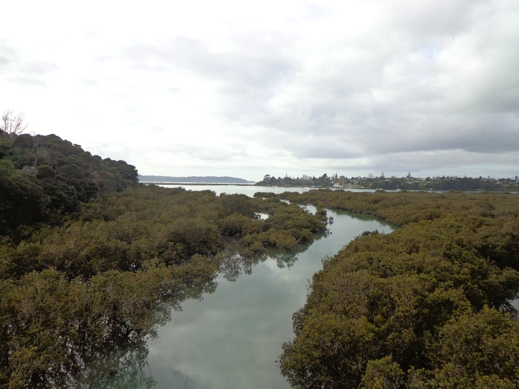
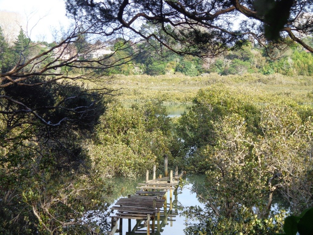
One of Auckland’s great walkways, this purpose built coastal path hugs the east-side of the Tamaki River from Panmure Bridge to Halfmoon Bay. The track winds its way in and out of pretty inlets, with boardwalks traversing through bush and mangroves. Enjoy the sea-breeze, water views, bird life and opportunities presented by the famous ‘snakes & ladders’ playground or some land-based fishing.
Paved Rotary walkway Track
There are many places you can commence this track and a lot of options for varying length walks. The Google Map clearly shows the various entrances to the path if you want to create your own loop walk. However, the complete 10.5km walk is full of highlights and worth the effort, even if it means completing it return for a 21km half marathon! The alternative is to drop a vehicle at each end of the walkway.
We have walked, run and biked this track on a many occasions – it is definitely a favourite. We normally commence at the Panmure Bridge end, especially as the first few kilometres contain so much variety, interest and beautiful coastal scenery.
Please note: Currently there are extensive roadworks around Panmure Bridge for the new busway and so parking by the bridge is closed. The best access will be via Kerswill Place or further along via Riverlea Ave.
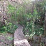
Once strolling along the walkway, you will wind your way along the foreshore, mostly on paved undulating track. This paved track is interspersed with boardwalks that venture over the water and through the mangroves, at high tide you are walking just a little above the lapping water. The hills on this section of track are small but add interest to the first 2-3 km The middle section of the track is almost completely flat as it circumvents the coastline.
After passing your way around the second significant inlet, the impressive St Kentigern College campus will be on your right and you pass their rowing jetty on the left. The next significant landmark is the Farm Cover Reserve where you will find toilets and water. 150m past the reserve is the famous ‘Snakes & Ladders Playground’ – worth a visit even if you don’t have kids with you!
Farm Cove Snakes & Ladders Playground
Another significant inlet follows the playground as you wind your way towards Wakaranga Creek Reserve. This is another beautiful section with lovely houses, mangroves, pockets of bush and eventually opening to the green spaces of the Reserve.
A short detour from the Rotary Walkway takes you to the Prince Regent Playground, best known for its long tube slide. Another 250m – 300m through Pigeon Mountain Wetlands and you can visit Pigeon Mountain for a spectacular view of the local area and Auckland isthmus!
Pass through Wakaaranga Creek Reserve and take the western exit to Curacao Place. The trek now leaves the Rotary Walkway and traverses a series of quiet streets and walkways across the clifftop of the Halfmoon Bay suburb. Enjoy the varied views across the city and Waitemata Harbour, as well as many beautiful homes. This approximately 2km section takes you to the Halfmoon Bay marina, shopping centre and wharf. Enjoy a refreshing ice cream at Delishimo. There are also a range of restaurants at Halfmoon Bay if you want to stop for lunch before starting a return journey!
The track across the last 2km to Halfmoon Bay has a lot of variety. Once completing the various streets, a flight of stairs takes you back to a track that hugs the coastline and clifftop. There are stairs heading down form the end of Clyside Ave, with a semi-accessible small beach just off the track. Another set of stairs climbs back up to the clifftop track – continue along here until you reach the stairs down to Halfmoon Bay.
You are here! Enjoy the ice cream, restaurants and other services. This is also where you catch the ferry to Auckland City or Waiheke Island.
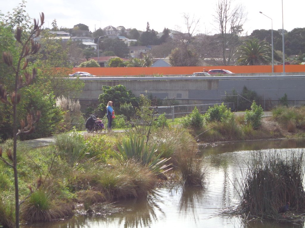
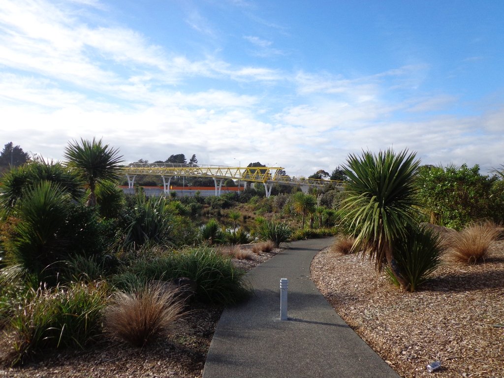
We have done this Moire Park Bush Walk in Massey, West Auckland, twice previously and this time we returned to make use of the yellow walking/cycling bridge that now crosses the motorway.
Note: this GPS Google Map is of Moire Park and does not include some of the extra walking described in the description below and brochure.
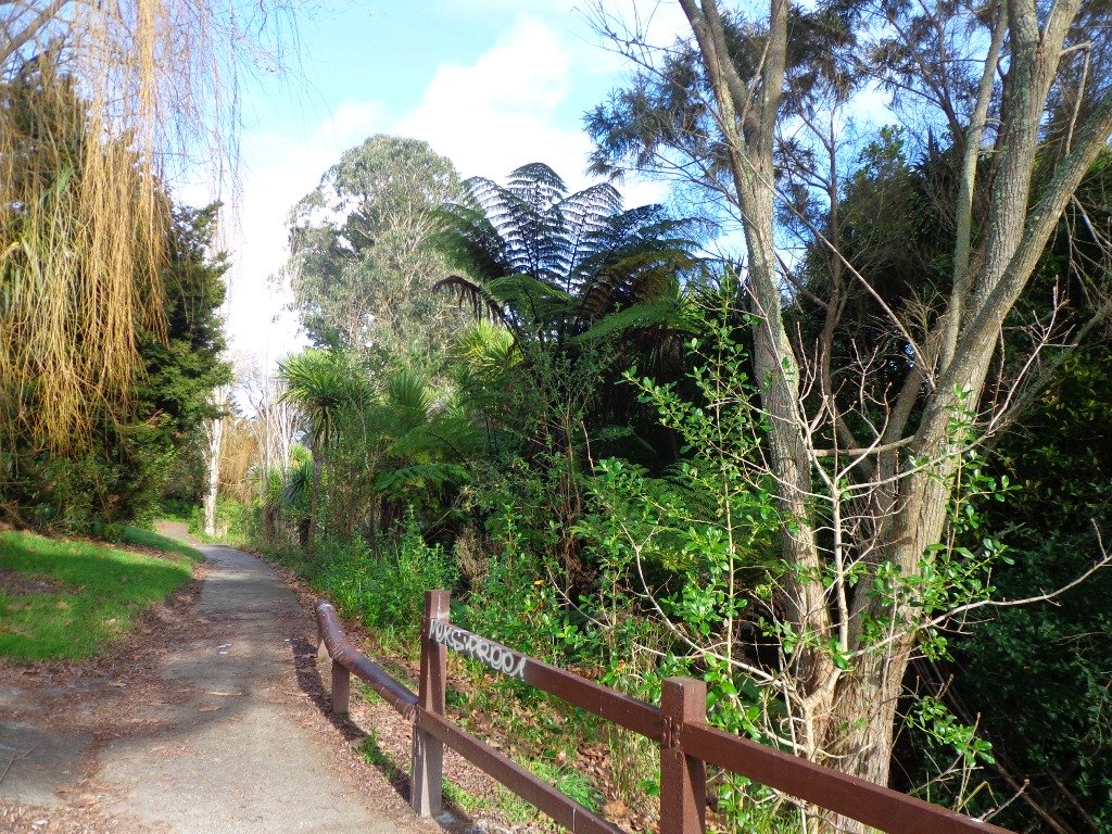
The walk now begins from Westgate Shopping Centre with the option of starting from the Moire Park sports complex off Granville Drive, if preferred. There is a short stretch of street walking, but the majority of the walk is off road with a long stretch through native bush, following the Manutewhau Stream.
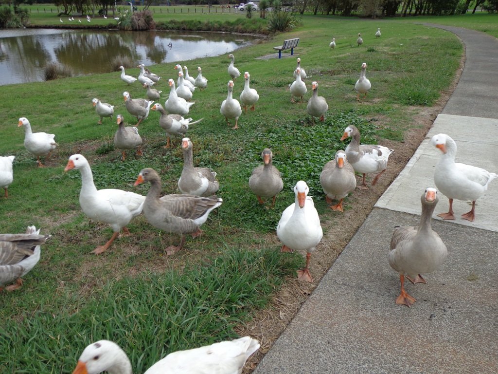
There is a collection of children’s playgrounds (some with flying fox) that could provide a great incentive for doing the walk with children, and if you take some bread, you may wish to feed the ducks in the ponds near Westgate.
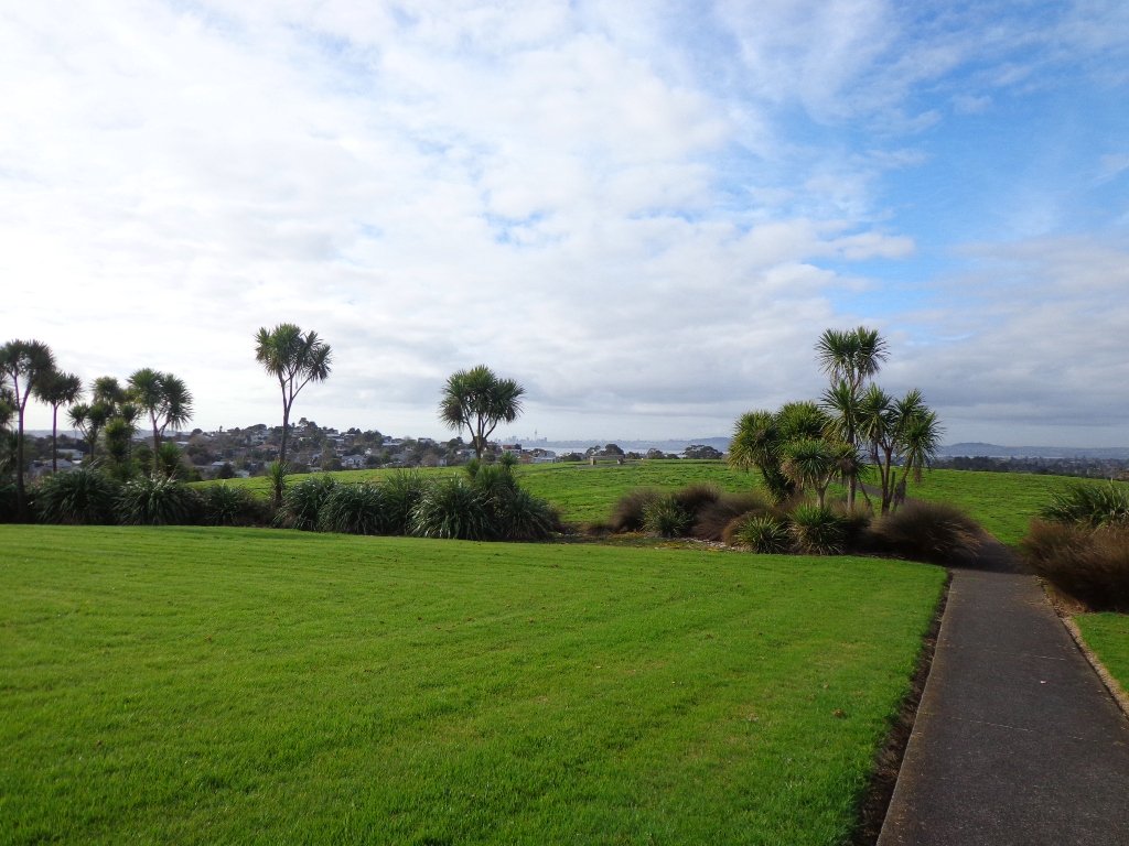
The view from top of Flaunty Reserve across Auckland Harbour to the city can be breath-taking.
Description: A mix of level paths and steep paths. Suitable for users of average fitness and mobility. May require boots in wet weather, running shoes suitable in dry weather. Muddy tracks after rain. To see: Auckland City views, Waitakere Hills view, views of Te Atatu Peninsula, native trees and fauna, urban development. Childrens playgrounds. Dog friendly off leash areas. Time: approx. 75 minutes. (about 6 kms) Parking: Westgate Shopping Centre. Buses: Westgate Shopping Centre MAP
Stay on track…get your detailed guide and map (AW-031 Moire Park Bush Walk) over at our Walks Store and our Book Store (one of 12 walks featured in our books “Urban Bush” and “Dog Friendly Walks part 1” and “Best of the West“).
Today we set out to explore the Bayview area near Glenfield on Auckland’s North Shore. What a wonderful surprise to find a beautiful bush walk, alongside the Upper Harbour reaches, all part of the Glenfield Coastal Walkway.
The walk takes in Manuka Reserve with views of the upper harbour, Hobsonville Point and native bush. Not only are there stands of manuka trees (tea trees) beside the estuary, but inland within Leigh Scenic Reserve, there are kauri trees and palms.
This circular walk is mostly bush with only a small section of street footpaths. It is suitable for families, with two places to stop at playgrounds. Dogs must be kept on leash.
Description: Bush track, steps, inclines and board walks. Muddy in places when wet. Suitable for users of average fitness and mobility. To see: Native bush, small waterfalls, views across Auckland Harbour to Hobsonville Point, native birds. Time: approx. 60 minutes. (about 5.0 kms). Dogs on leash. Two childrens playgrounds. Start: Lynn Road, Bayview near Glenfield. MAP
***Please note: September 2018 This track has been temporarily closed due to Kauri Dieback
Stay on track…get your detailed guide and map (AN-080 Bayview Bush Walk)over at our Walks Store and our Book Store (one of 12 walks featured in our books “Urban Bush” and “Dog Friendly Walks part two”).
Wattle Downs in South Auckland was another new area for us to explore. The Wattle DownsWalkway goes around the edge of the peninsula that extends into Manukau Harbour, at one spot there are views through to Manukau Heads. The day was very calm – the water was like a mirror, and there were also threatening grey clouds hanging overhead. The walking route is also great for cyclists, prams/buggies and dog walkers (on leash and off leash dog exercise areas).
There are many points of interest along the way, and friendly people to say hello to. We stopped and spoke to a resident whose house looked out towards Manukau Heads – he told us that they get to view amazing sunsets over the harbour.
There are wetlands and ponds active with shore birds – if you are a keen bird watcher be sure to take your binoculars.
The only thing missing in the area is a cafe.
UPDATE March 2015 ** The shared walkway/cycleway has been extended from Hadley Wood Drive to Aberdeen Crescent.
Suitable for Family cycling: Frangipani Ave to Bluewater place, 10km each way.
Description: Mainly level paths, one set of steps (which can be avoided). Suitable for users of average fitness and mobility. Suitable for cyclists. To see: Manukau Heads, Manukau Harbour, Wattle Farm Wetland Reserve, shore birds Time: approx. 100 minutes (about 8.7 kms). Dog off-leash areas. Childrens playgrounds. No cafe. Public Toilets may not be open due to vandalism issues (see image below). Start from: Wattle Farm Reserve MAP
Stay on track…get your detailed guide and map (AS-067 Wattle Downs Loop) over at our Walks Store and our Book Store (one of 12 walks featured in our books “Coastal part 1”, “Dog Friendly Walks part 1” and “Best of the South”).
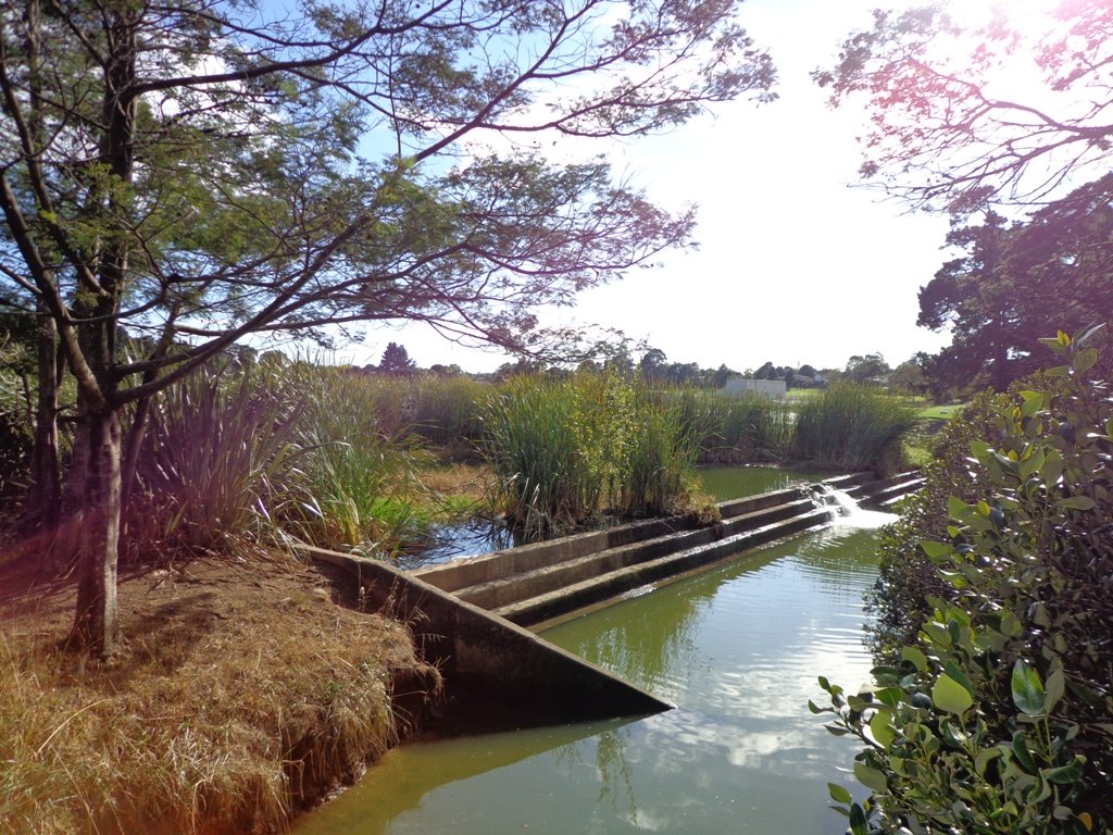
We have wanted to include Oakley Creek walkway in our walk guides for some time. The Oakley Creek Te Auaunga (whirlpool or swirling waters) Walkway itself is a one-way track, and we wanted to include it as part of a bigger circular walk. And today we did it! There was a lot of water in the creek today and the 6 metre high waterfall was in fine form. The new viewing platform is great (update December 2012 – sad to see that the platform has been burnt down).
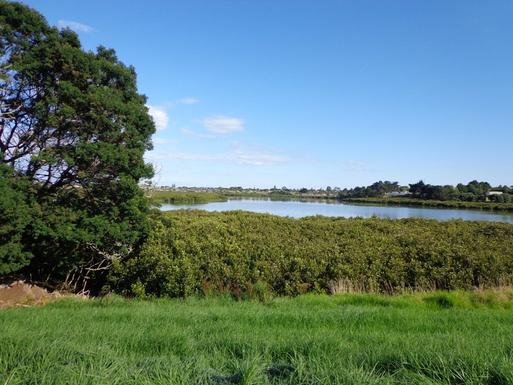
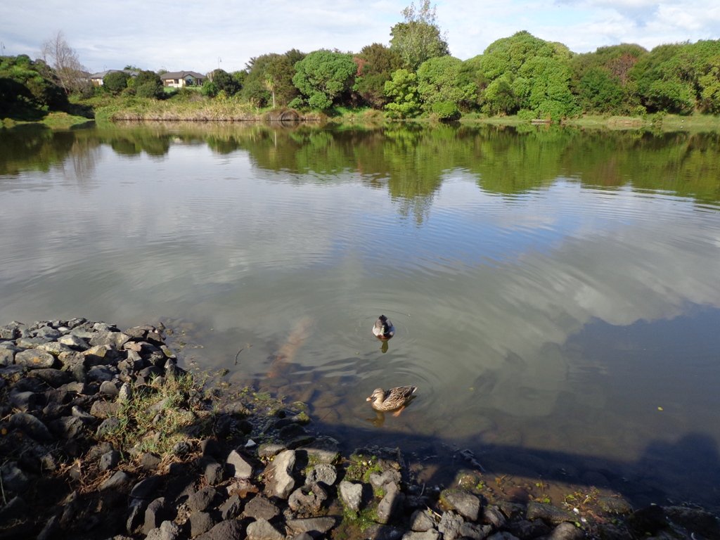
Oakley Creek flows from Hillsborough, through Mt Roskill, Owairaka and Waterview to the Waitemata Harbour, making it one of Auckland’s longest urban streams. Oakley Creek is also home to the New Zealand longfin eel which is threatened, so fishing is not allowed.
The Friends of Oakley Creek is a project to help preserve and protect the creek, and was set up in 2004. The Friends of Oakley Creek have been doing a fantastic job with restoration and keeping the creek maintained, clean and improving the water quality. This is a volunteer organisation, and they continually seek help with their efforts – lend a hand if you can. If you would like to get involved, visit their Facebook page: Friends of Oakley Creek .
You can walk through native bush, wetlands, see water birds and enjoy the peace beside Oakley Creek. We have decided to create two separate loop walks – one a northern loop, the other a southern loop. You may wish to get both, and link them together for a longer walk.
Children’s playgrounds in both walks – the southern loop Heron Park has a flying fox.
Both loop walks take in off-leash dog exercise areas (dogs on leash alongside the Creek). See other Dog Friendly Walks
Description: A mix of level paths, steps and slightly inclined paths. Suitable for users of average fitness and mobility. May require boots in wet weather, running shoes suitable in dry weather. To see: Water birds Habitat, waterfall, Oakley Creek Time: approx. 60 minutes. (about 4 kms Start: Cadman Avenue (off Fairlands Avenue/ Great North Road) MAP
Stay on track…get your detailed guide and map over at our Walks Store (AC-042 Oakley Creek Walkway Loop South) and our Book Store (one of 12 walks featured in our books “Urban Bush” and “Dog Friendly Walks part 2”).
Watch this video to get a taste of the Oakley Creek walkway.
Self guided short circular walks in Auckland for health, fitness and fun