

The walk to Cudlip Point is dissappointing but Te Muri beach makes up for it
Cudlip Point Loop Track is a stunning walkway in the Mahurangi Regional Park, about 50 minutes drive north of the Auckland Harbour Bridge.
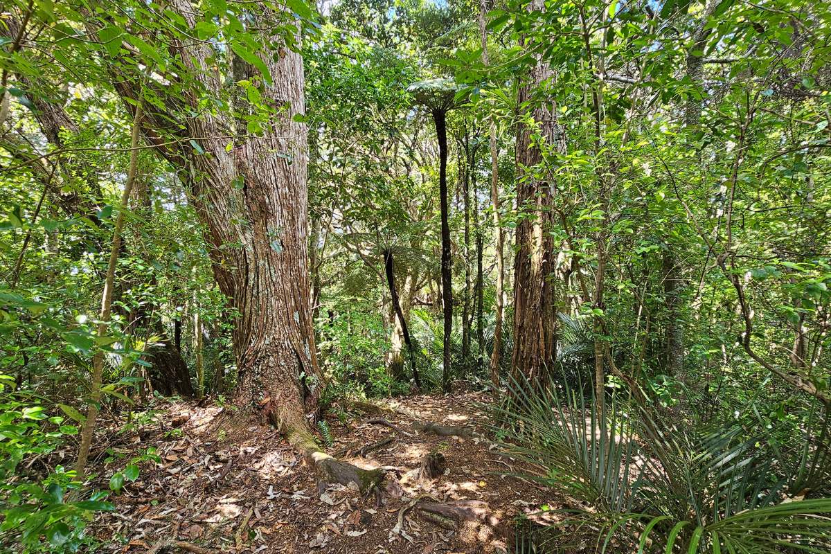
This track is one of three main walks in the park and includes amazing coastal views, beautiful beaches and a range of grasslands and native bush. It is quite hilly, so requires a reasonable standard of fitness.

Quick Facts about this walk
- Location: Mahurangi West, Rodney, North Island, NZ
- Distance: 3.5 km
- Time needed: 1 hour
- Difficulty: Medium
- Wheelchair Access: No
- Route: Loop track
- Elevation: 140m
- Wet Feet: Yes
- Toilets: Yes at the start in Sullivans Bay
- Dogs: No
- Mobile Coverage: Yes
Summary points about this walk
Walk Highlights
Track Quality
Hazards
Transport
Water
Driving Instructions
Shops & Restaurants Nearby
Click here to see a list of restaurants in Orewa, on the way to Mahurangi West.
Area & Trail History
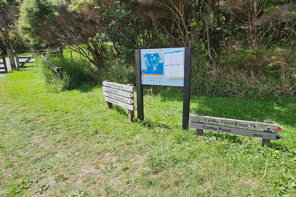
Map of the track path and location
Cudlip Point Loop Track Description - Starting from Sullivans Bay
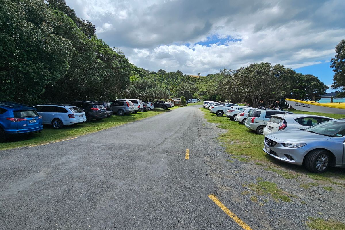
Start at Sullivans Bay
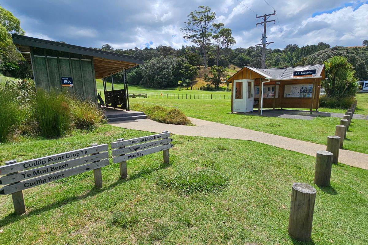
There is plenty of parking with an overflow area if needed at Sullivans Bay. You’ll find a very good toilet block which even has showers.
At the information building you’ll find maps and other tide information before you start this walk.
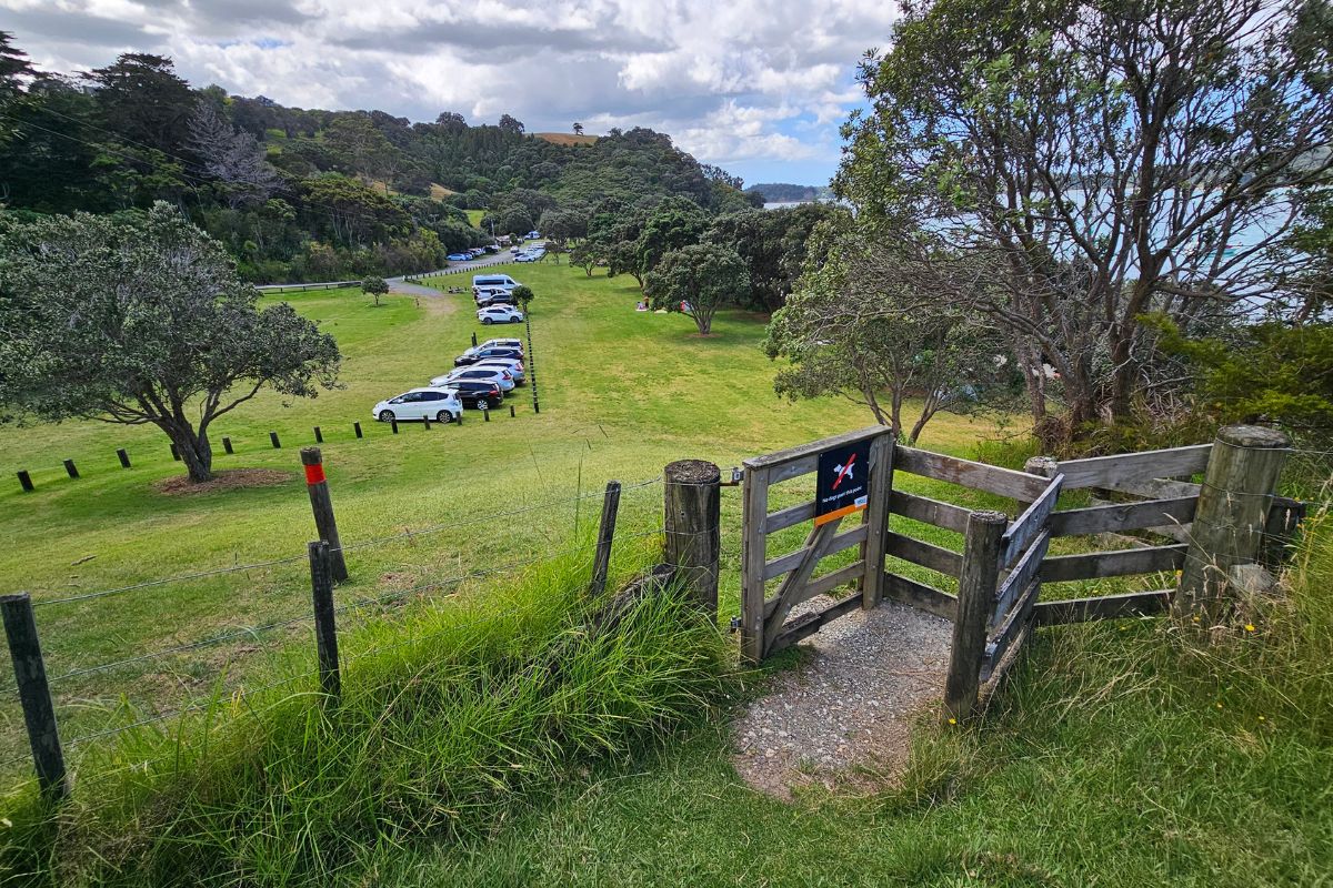
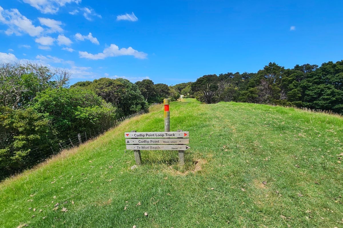
Cudlip Point Lookout (25 mins). From Sullivans Bay, walk down to the southern end of the campground, and walk straight up the hill following the post rail fence on your right.
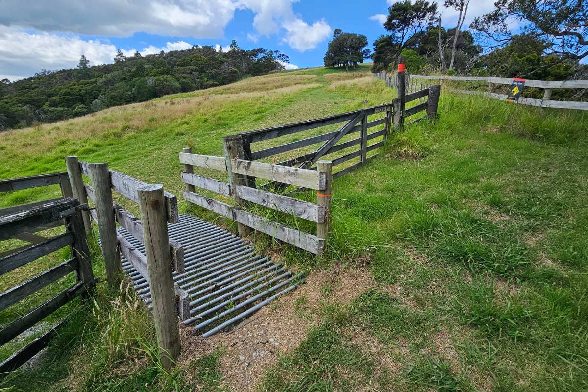
When you meet up with the fence running from your left to your right, look over to the right, and you will see a stile, climb over it. You will see the signs pointing to the start of the tracks. Carry on up the hill, following the red markers. Follow the ridge to the next gate.
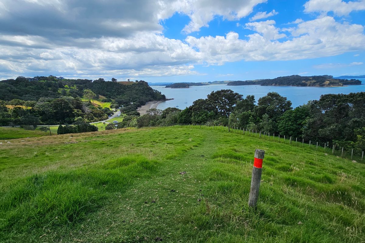
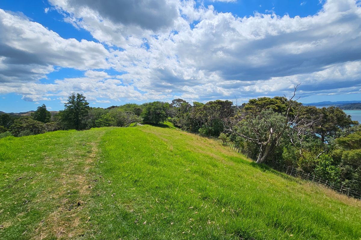
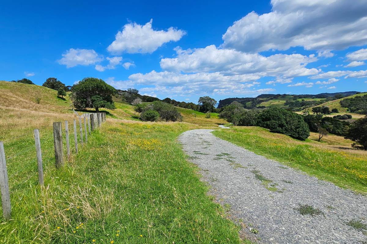
Through the gate and keep walking along the ridge
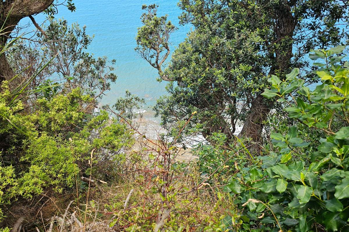
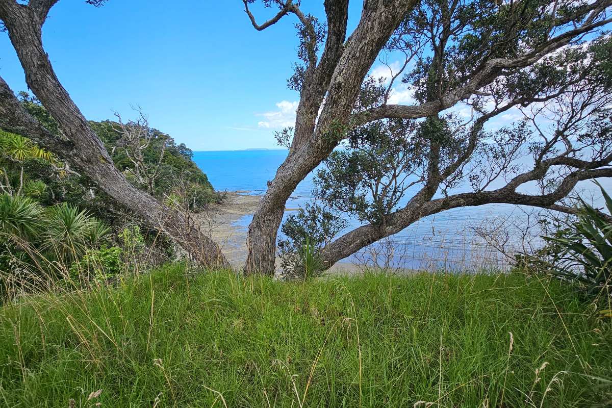
At the end of this section, you will see a fence and a sign showing you the way to Cudlip point. It is a short three-minute walk out to the disappointing lookout, so give this track a miss.
Cudlip Point lookout
This is the second time I’ve walked out to Cudlip Point lookout, the first time was well over 10 years ago. I was really hoping they had cleared the trees and put in a great lookout platform. Sadly I was disappointed.
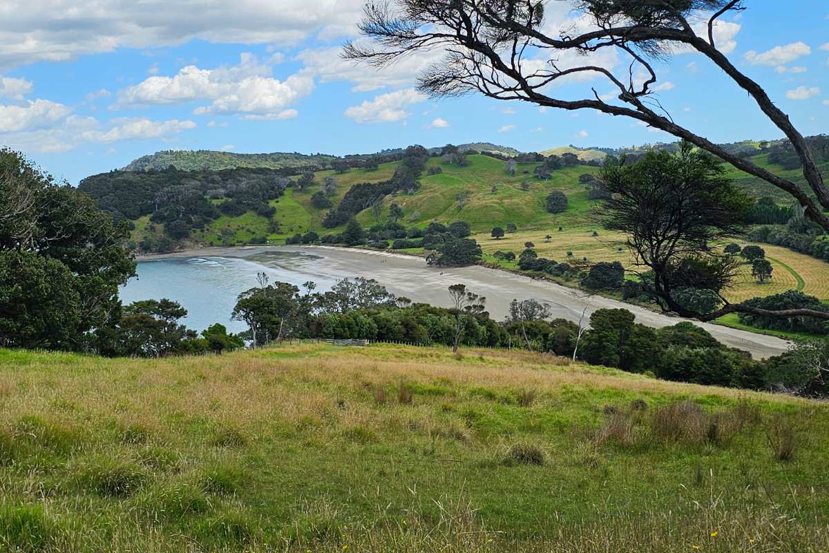
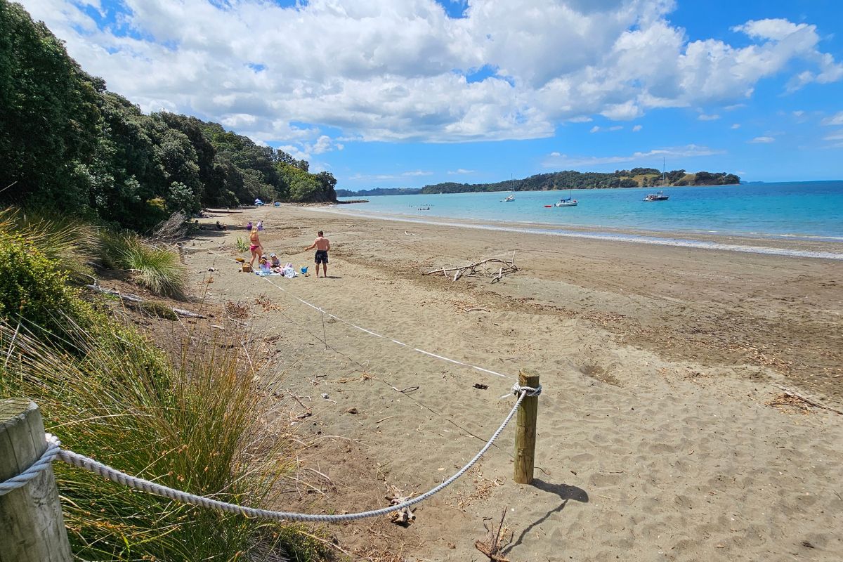
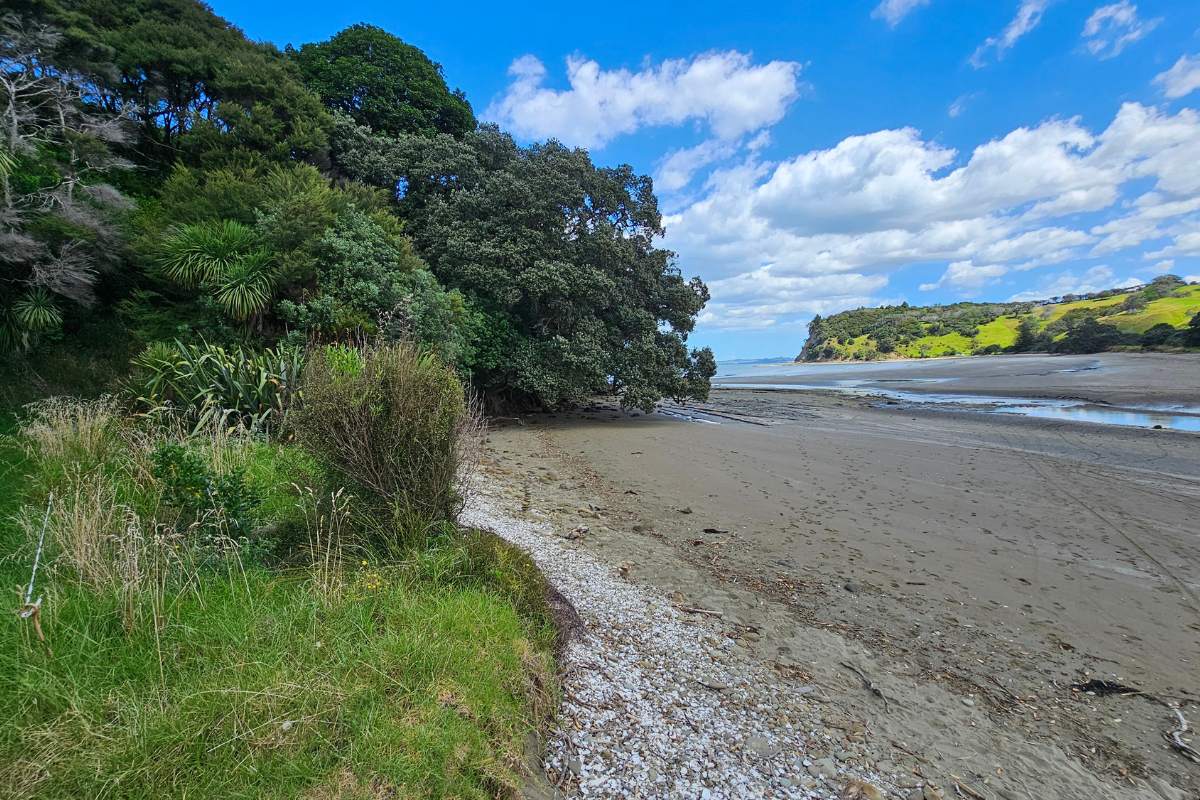
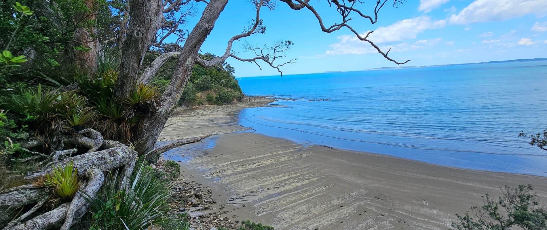
Te Muri Estuary is 20 more minutes of walking
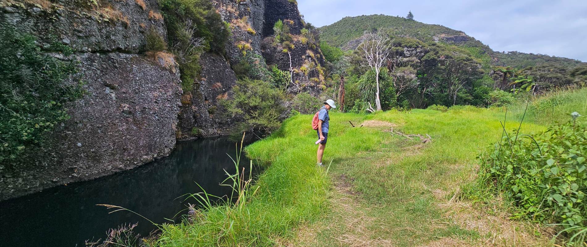
From the lookout down to Te Muri Estuary, is a very quick downhill walk over farmland.
You need to check the tides before you can cross Te Muri Estuary. I did notice there is now a handy tide chart right there, well done guys.
Back to Sullivans Bay
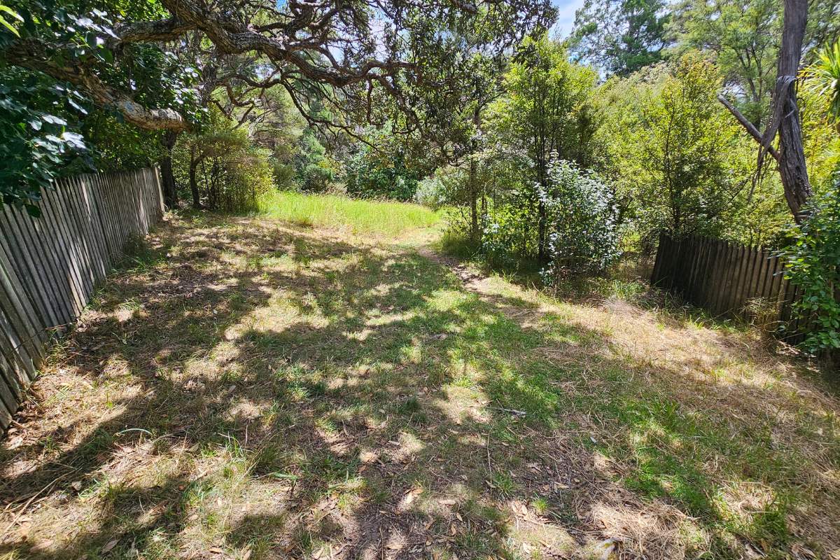
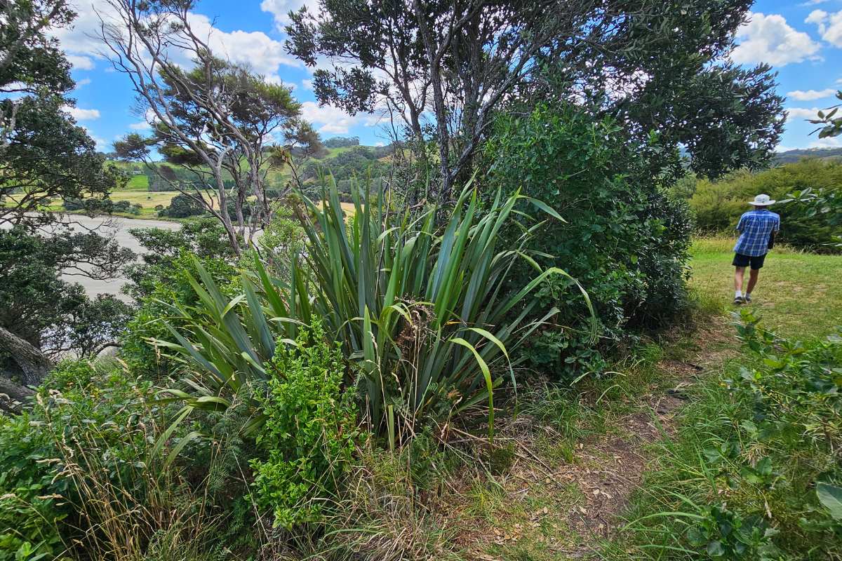
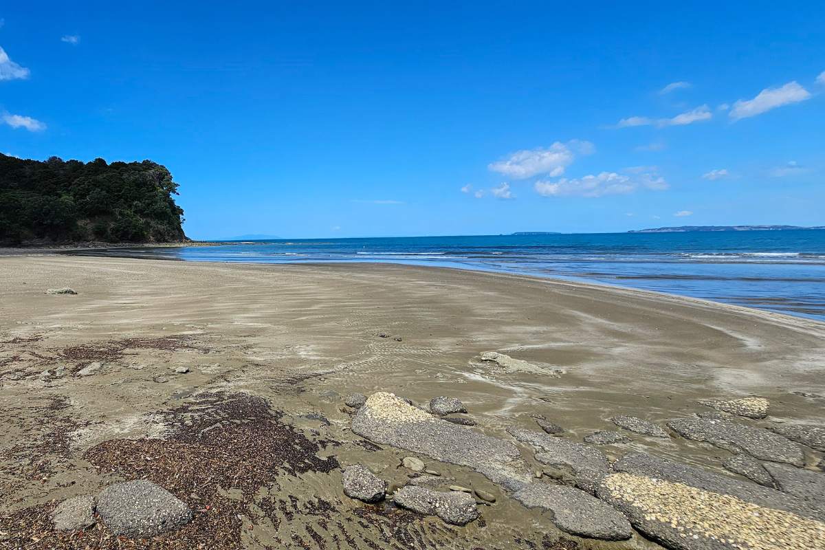
Double back to Te Muri Beach. You can walk back along the beach to the estuary or the thick green paddock at the back of the campground.
When you reach the old cemetery, follow the farm track into the estuary, then cross over the creek to the road on the other side. If in doubt, follow the power poles across to the other side. If the tide is in, roll up your shorts. Don’t worry; the incoming current is very weak.
End of the walk
Follow the track up the hill to the main road, turn to the right and walk down the sealed road to your car and a hot coffee, if you remember to bring one!
Cudlip Point Loop Track Description - Starting from the top carpark
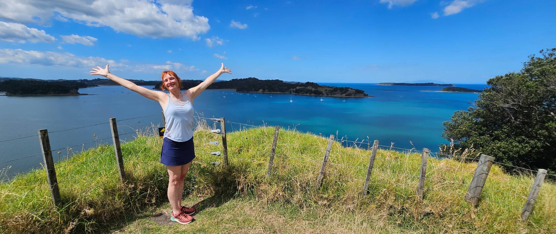
This Loop Track surprised me with its beauty, variety and challenge. The views are superb as the Mahurangi Penninsula juts out into the Ocean, providing water and beaches on both its ‘coasts’. The track is quite steep in places and is a mix of gravel and grass trail.
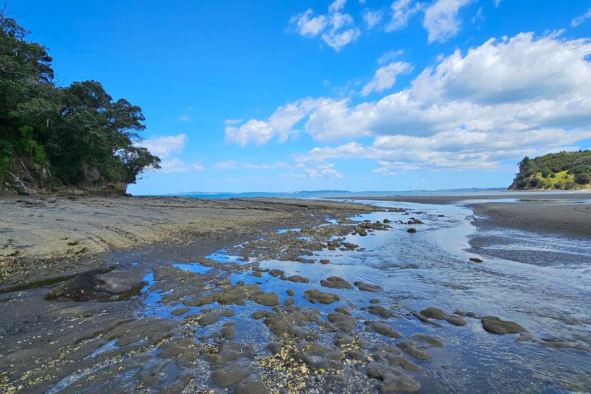
The Inlet to Te Muri Beach can be crossed at low tide
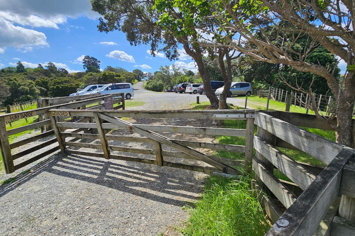
We commenced our walk at the higher carpark, the parking spot that greets you after entering the Regional Park. You could also opt to veer left and head down the hill to Sullivans Bay and start your walk there – as explained in the walk above. This is probably recommended if you want to swim and picnic at the beach.
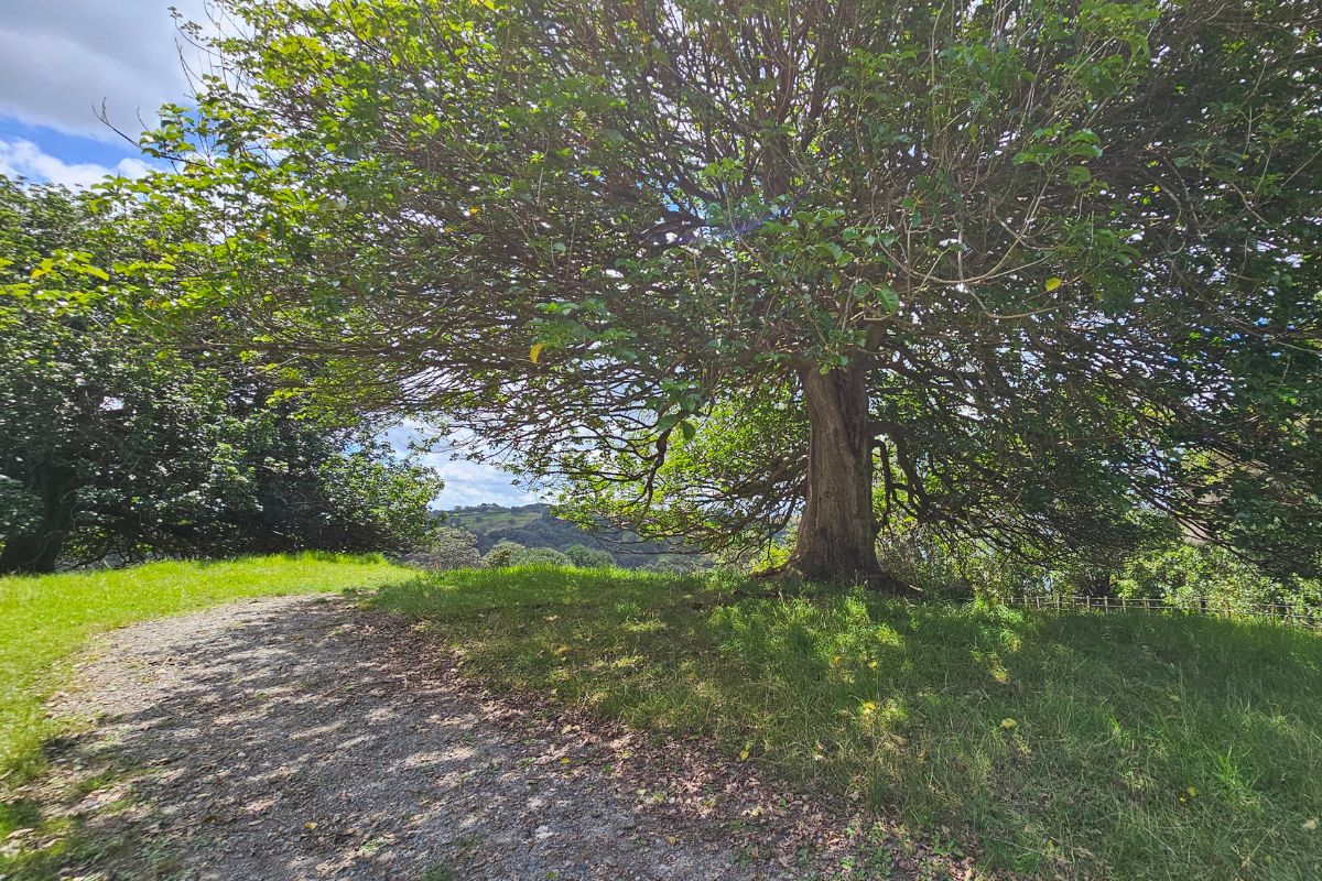
If starting at the top carpark, take the further right track entrance that heads towards Te Muri Bay. This winds its way downhill for 10-15 minutes on a good gravel track until it reaches the water’s edge. If starting at the carpark, follow the road or grass track as per the GPS Map up to the top carpark and then continue as above.
Upon reaching the Te Muir Estuary, you track alongside the waterway, through bush and patches of grass for about 10 minutes before turning left and heading up a steep incline.
You could also cross the estuary to Te Muri Beach if you desire and walk to the campsite or follow the track towards the end of the inlet. Note: the inlet can only be crossed at low tide and remember you do need to get back again also!
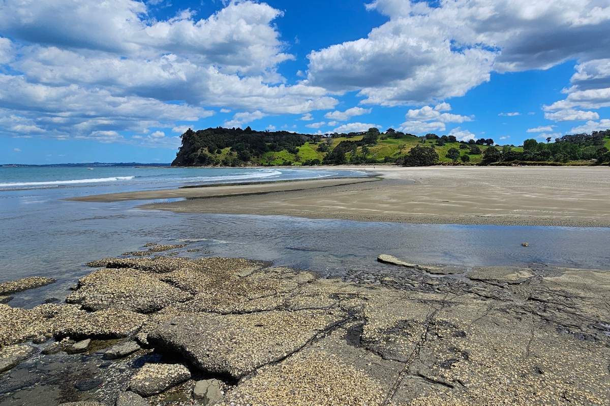
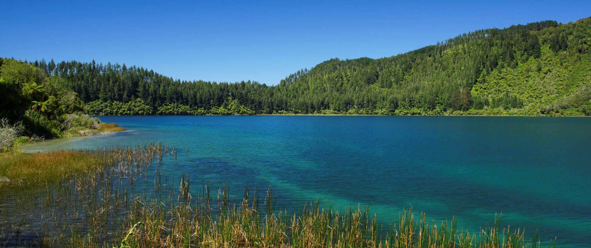
Mirror views on the Estuary
Head up the hill and towards the top of the ridge where you start to get the reward with some stunning vistas. When we completed the track, a detour took us to the ridge as the cliff-top track through the bush was unstable.
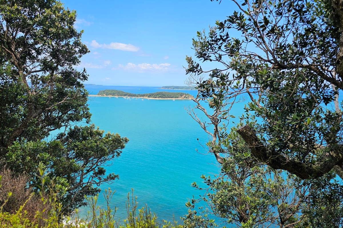
You have the choice of going right and heading through the gate to Cudlip Point Lookout or turning left and heading back along the ridge towards Sullivans Bay. The Lookout here gives views across the Gulf, looking East – they are ok but there are a lot of trees that block aspects of the view.
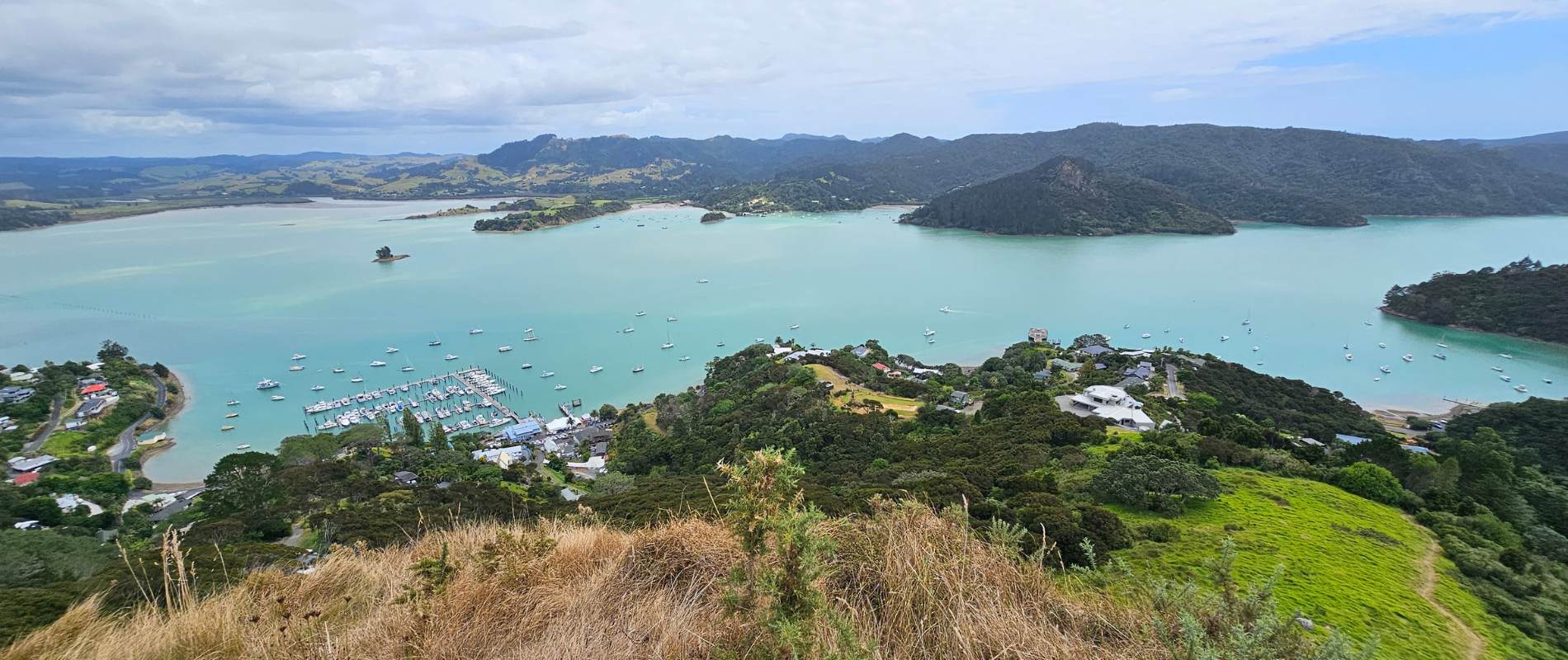
The walk along the ridgeline to Sullivans is stunning. Views looking north up the coast are ‘million dollars’ and ahead are the views into beautiful Mahurangi Harbour. Before your decent to the beach, you can choose to go straight ahead or veer right and down the fenceline, which is the shorter option.
Red markers indicate the track
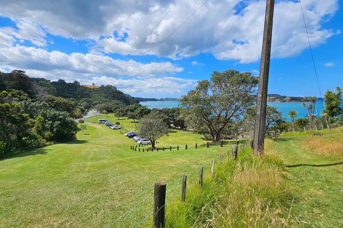
Sullivans Beach is beautiful and fine for swimming, especially with higher tides. There are good facilities here, including toilets, water fountains, an information kiosk and a campground if you wish to stay overnight.
Walk back along the beach and up the steep grass hill back to the car.
If you still desire more walking and even more stunning views, add the option of the Mita Loop Track that commences at the western end of Sullivans Bay.
More of my walks in Mahurangi West
Tungutu Loop Track


2 Responses
FYI
On the Mahurangi West walk, best remove the reference to Waiwera hot pools. Been closed for years and are derelict & now being demolished!
Hi Stuart, thanks so much for letting me know. I’ve gone through the whole walk in detail and updated the it today, it should be correct now.
Thanks
Sandra