Tag Archives: Campbells Bay

Centennial Park walking tracks

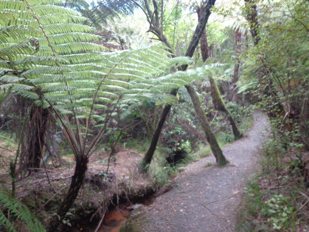
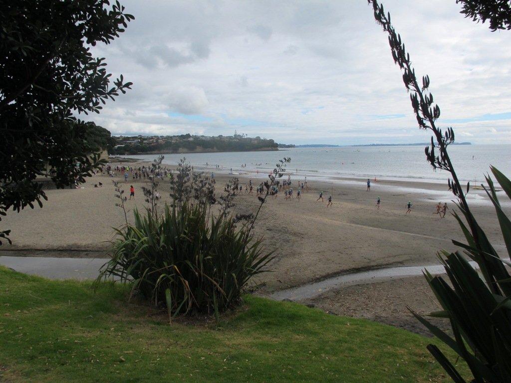
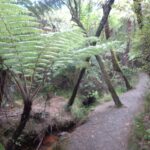
Centennial Park (inland from Campbells Bay on Auckland’s North Shore) is a very large reserve that contains a regenerating native forest. There are 8 named tracks (Walking Bus, Aberdeen, Mamaku, Kohekohe, Bayliss, Bayliss, Tui and Magnolia) and it pays to have a map with you so that you have an idea as to where you are.  There is a nature trail with numbered plants and trees if you are inclined to learn about the bush. We learnt that “Mamaku” is a tall edible tree fern also known as a black tree fern. (You can download an Auckland Council map and brochure here to plan your own route.)

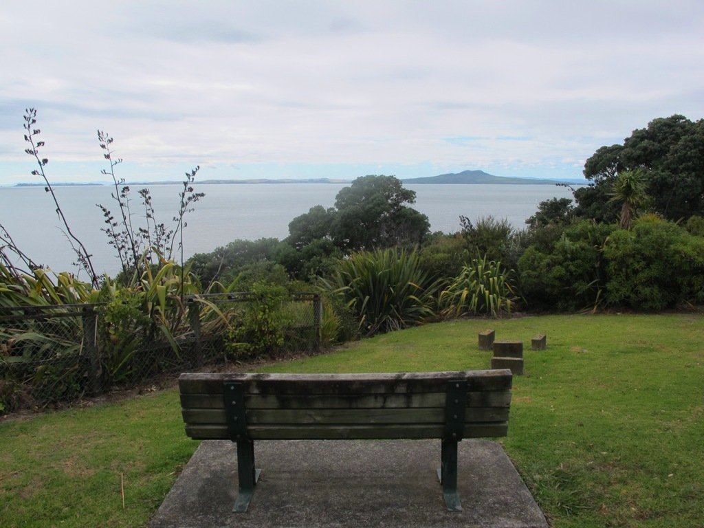
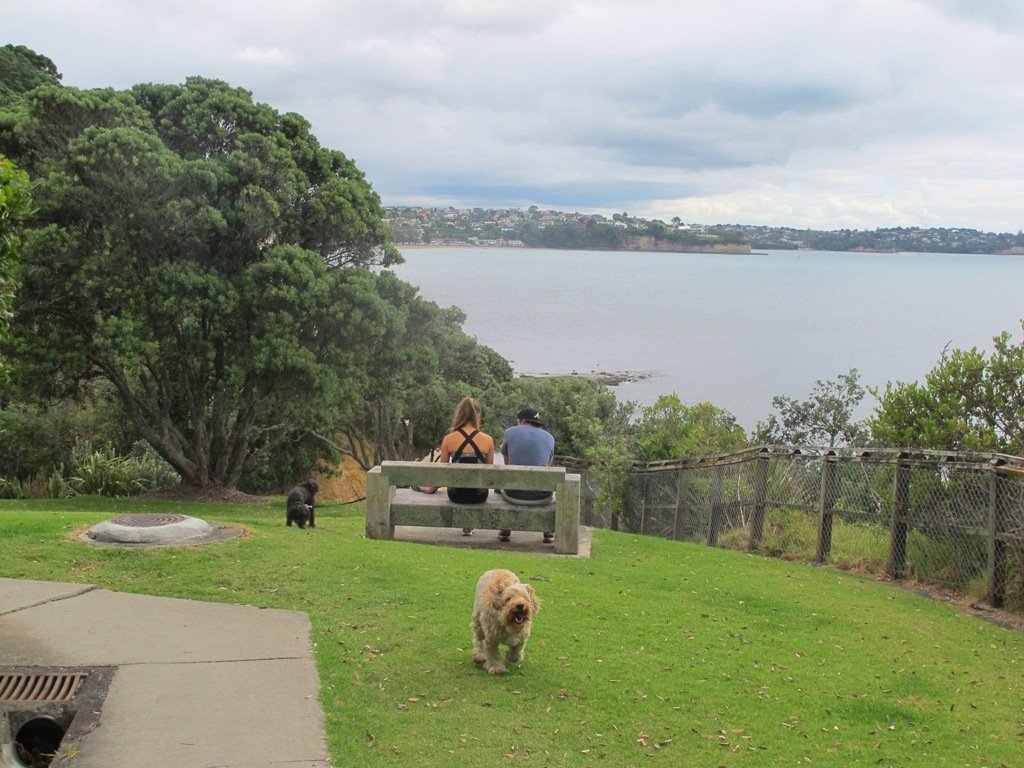
There is a picnic area near the car park. The nearest children’s playground and public toilets are at Kennedy Park (Castor Bay). And the nearest cafe is Little Salt (82 Beach Road).

Description: Bush tracks, some smooth, some rough.  Suitable for most ages and levels of fitness and mobility, designed with flat shoes or running shoes in mind. Not suitable for pushchairs.
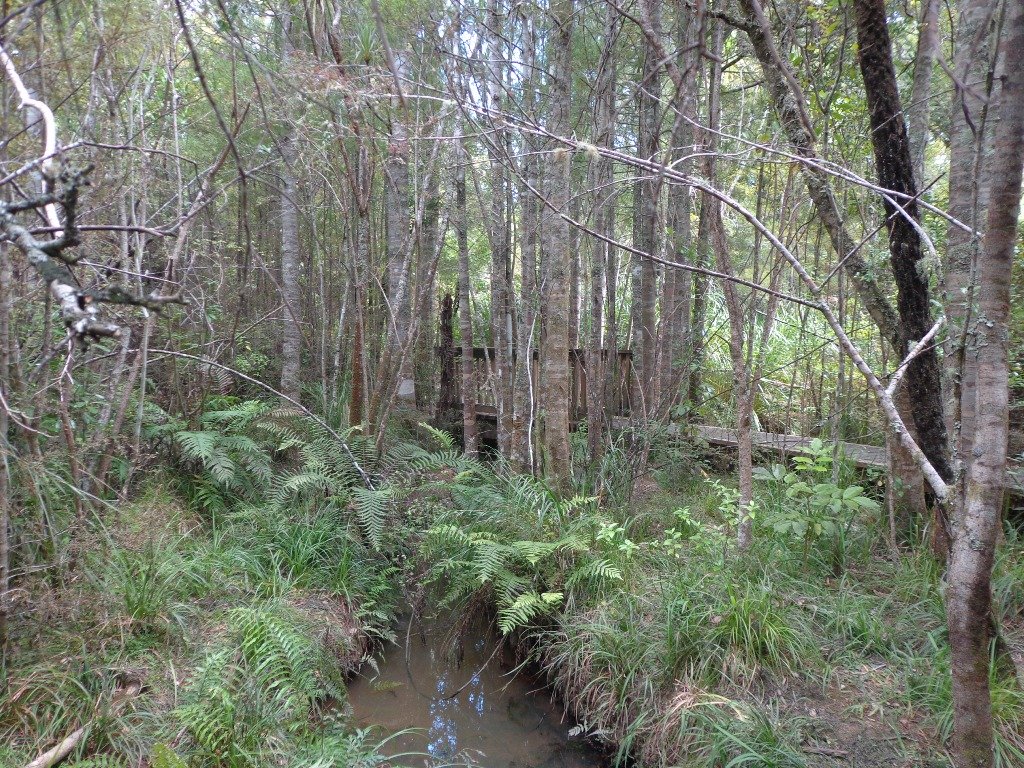
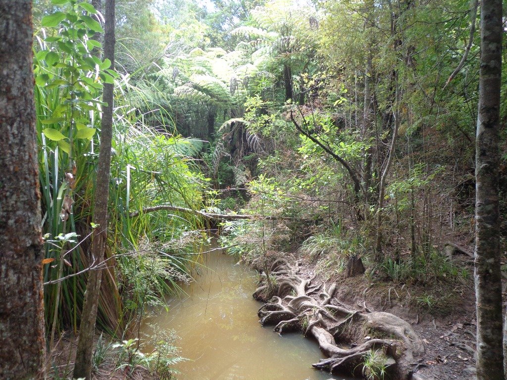
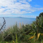
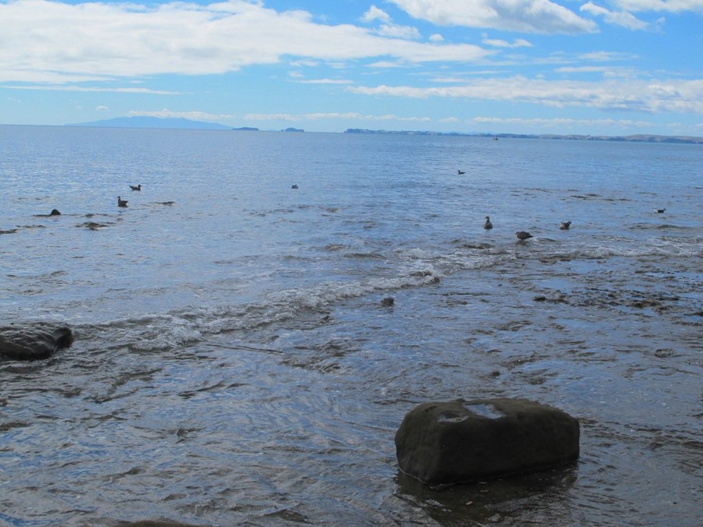
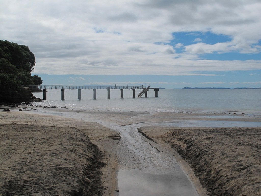
To see: Nature Trail, stream and regenerating bush.
Time: approx. 60 minutes (about 4.0 kms).
Parking:  Avenue of Remembrance, off Beach Road, Campbells Bay. MAP

Stay on track…get your detailed guide and map brochure (AN-111 Centennial Park Loop) over at our Walks Store.

Mairangi Bay Loops

The clifftop and beach loop walks starting at Campbells Bay and taking in Mairangi Bay, and Murrays Bay and part of Rothesay Bay on Auckland’s North Shore provide stunning views over the Hauraki Gulf and Islands.

Maurangi Bay Loops Copyright 2014 Unleashed Ventures Limited

The beach walkway is dependent on weather and tides (check tides here).

Today the beach at Maurangi Bay was busy with sailors, surf lifesavers, swimmers and paddle boarders.

People were out walking their dogs – and the dogs looked very happy racing around off the leash along the cliff paths. Be sure to check out the Auckland Council dog rules for the North Shore beaches here.

Dogs are allowed under control off-leash at any time at Churchill Reserve Beach (Rothesay Bay).

The walkways do have steps so a good level of fitness is needed.

Description: Mostly level paths with some steps and one steep climb. Suitable for most ages and levels of fitness and mobility, designed with flat shoes or running shoes in mind. Not suitable for pushchairs. Not recommended at high tide.
To see: Coastal views.
Time: approx. 80 minutes (about 6.65 kms).
Parking:  View Road, Campbells Bay. MAP

Stay on track… Find this walk (AN-098 Mairangi Bay Loop) and other walk brochures with map and directions at our Walk Store

Explore the Shore

Explore the Shore” is a series of three books each containing 10 main walks and compiled by Margaret Scrymgeour. The walks cover a large area of Auckland’s North Shore.

I had the pleasure of meeting Margaret at an Auckland Council Regional Cycling and Walking forum on the 12th June. We have much in common – we have made our walks circular, one hour to one and a half hours in length, and we take in the parks and reserves.

The books are currently free and are available from Libraries and Information Centres. They contain clear directions and a map for each walk.

These books can be downloaded from the Living Streets website:

Volume One: Download Albany & Greenhithe booklet (PDF, 1.5MB) Greenhithe, Chester Park, The Oaks, Kell Park & Lucas Creek, Albany Village & Landing, Civic Centre & Central Albany, Brookfield, Clemows, Rosedale to Unsworth Reserve, Fairview Heights

Volume Two:  Download Bays to Devonport booklet (PDF, 2.4MB) Torbay Coastal, Browns Bay Inland, Murrays Bay Inland, Mairangi Bay, Campbells Bay to Castor Bay, Sunnynook, Around Lake Pupuke, Around Takapuna, Belmont, Devonport Inland

Volume Three: Download Kaipatiki booklet (PDF, 8.0MB) Northcote- Tuff Crater, Old Northcote Point, Birkenhead & Le Roys Bush, Chelsea (Sugar) Heritage Park, Beach Haven, Shepherds Park, Windy Ridge, Glenfield Coast & Bush, Highbury & Eskdale Reserve, Totaravale & Unsworth Reserve

Kaipataki Explorer Online Guide