Recently we were asked “please let me know which walks are suitable for my mobility scooter as most seem to have steps”.
As many people already know, Auckland is built on a volcano landscape, hence there are many hills. Most walkways have steps and/or steep inclines and declines which make the paths unsuitable for mobility scooters.
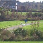
Barry Curtis Park
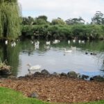
Western Springs
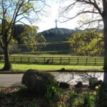
One Tree Hill
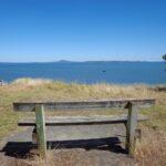
Oratia
There are very few loop walkways that are flat. We have made a list of possibilities here: Flat walks in Auckland . We cannot guarantee that there are no steps or other hazards for mobility scooters. Hopefully you will have an able bodied friend who is able to scout the route for you beforehand.
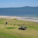
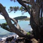
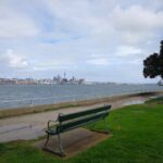
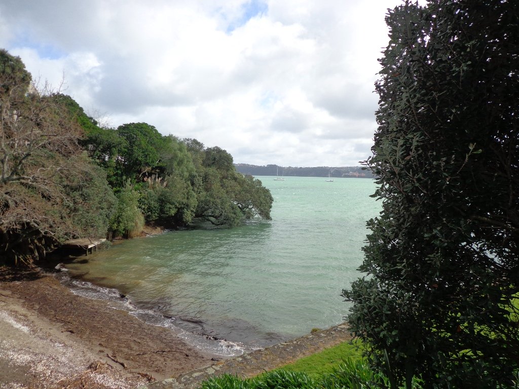
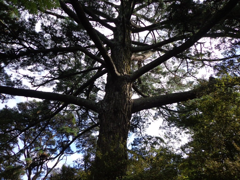
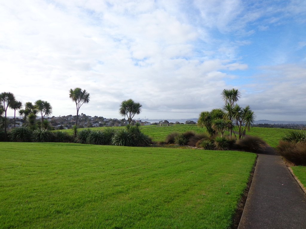
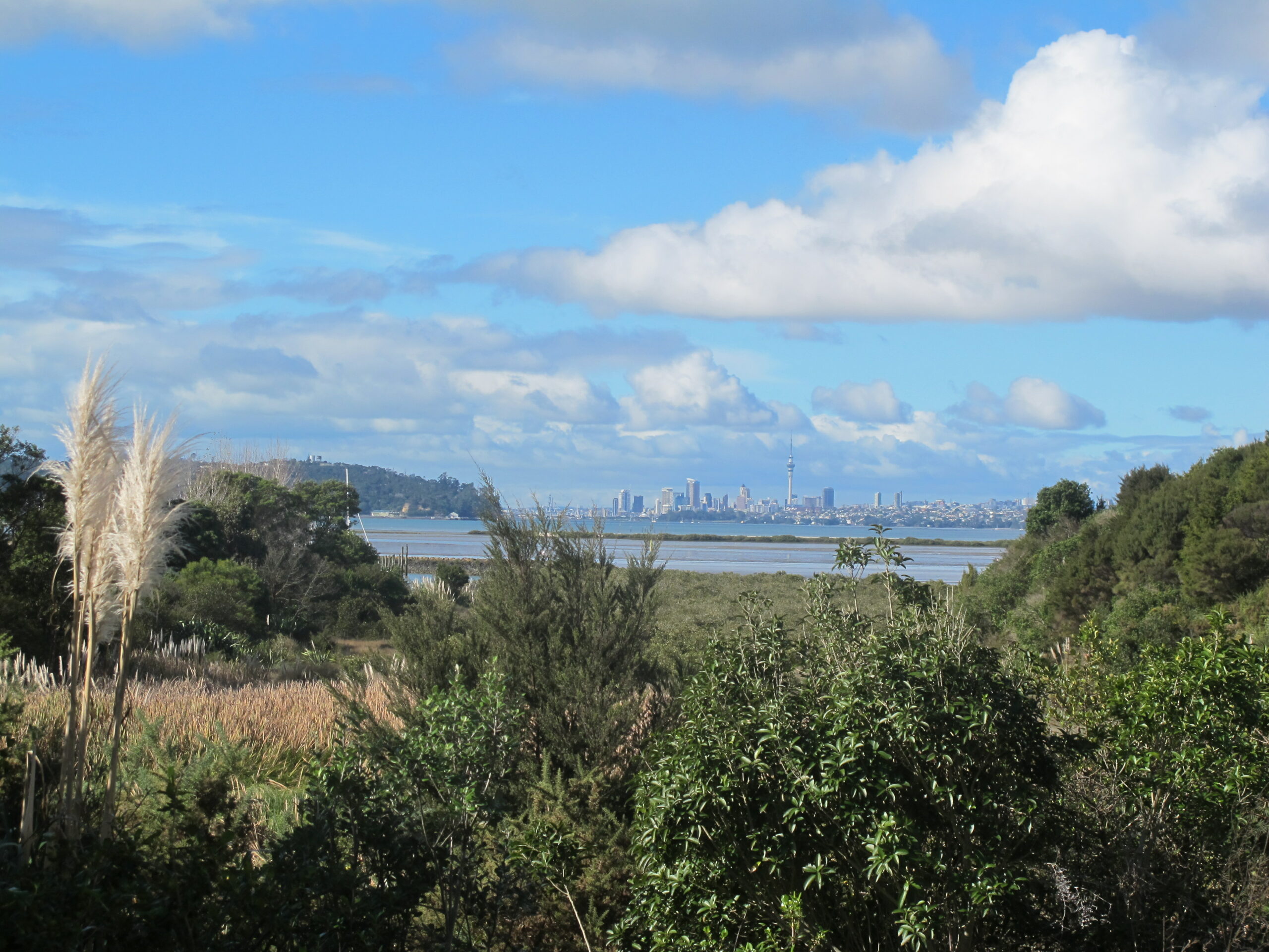
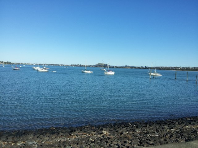
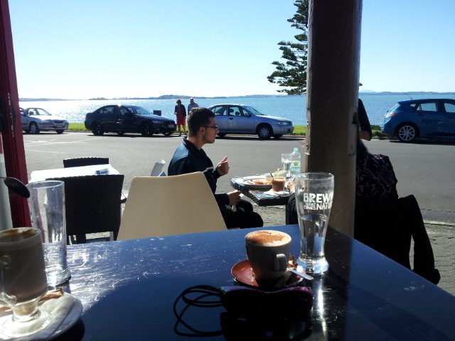
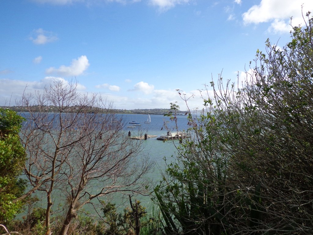
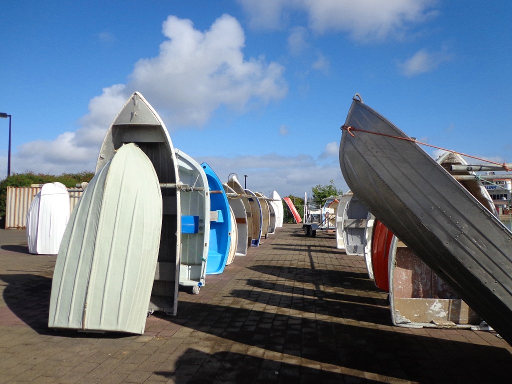
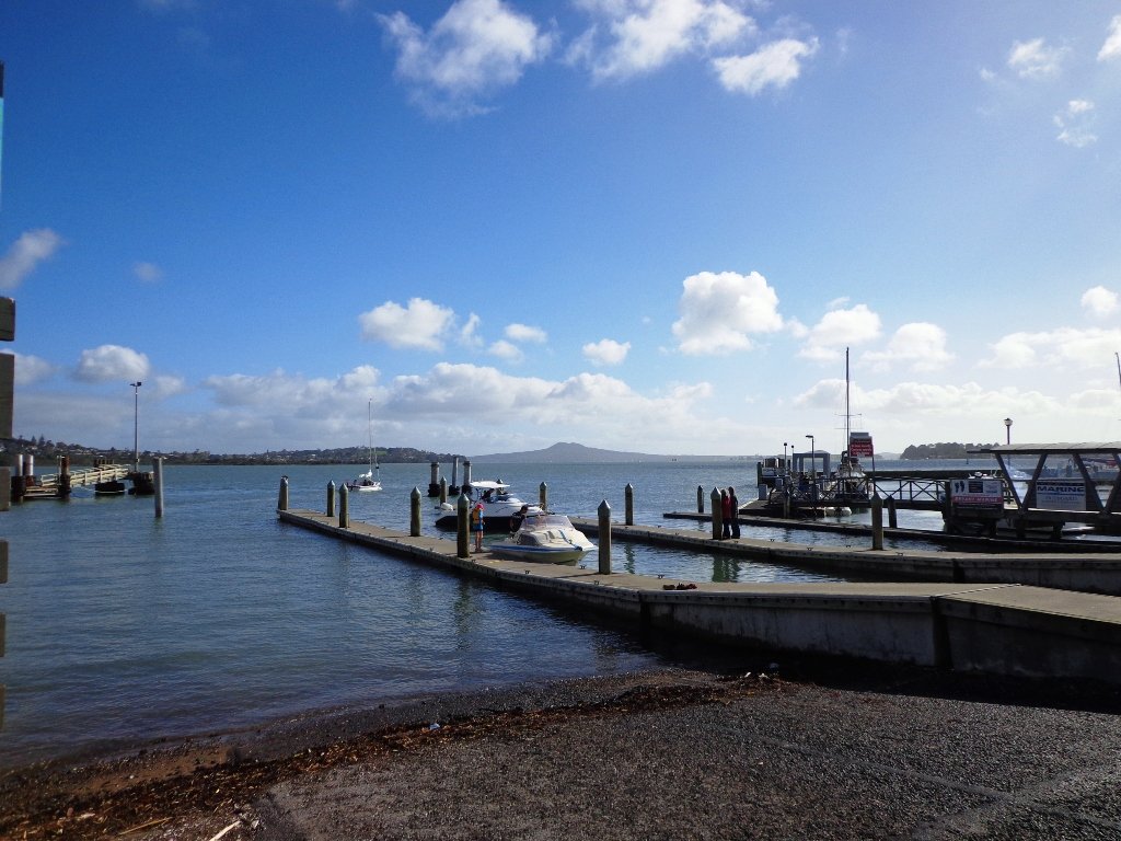
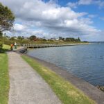
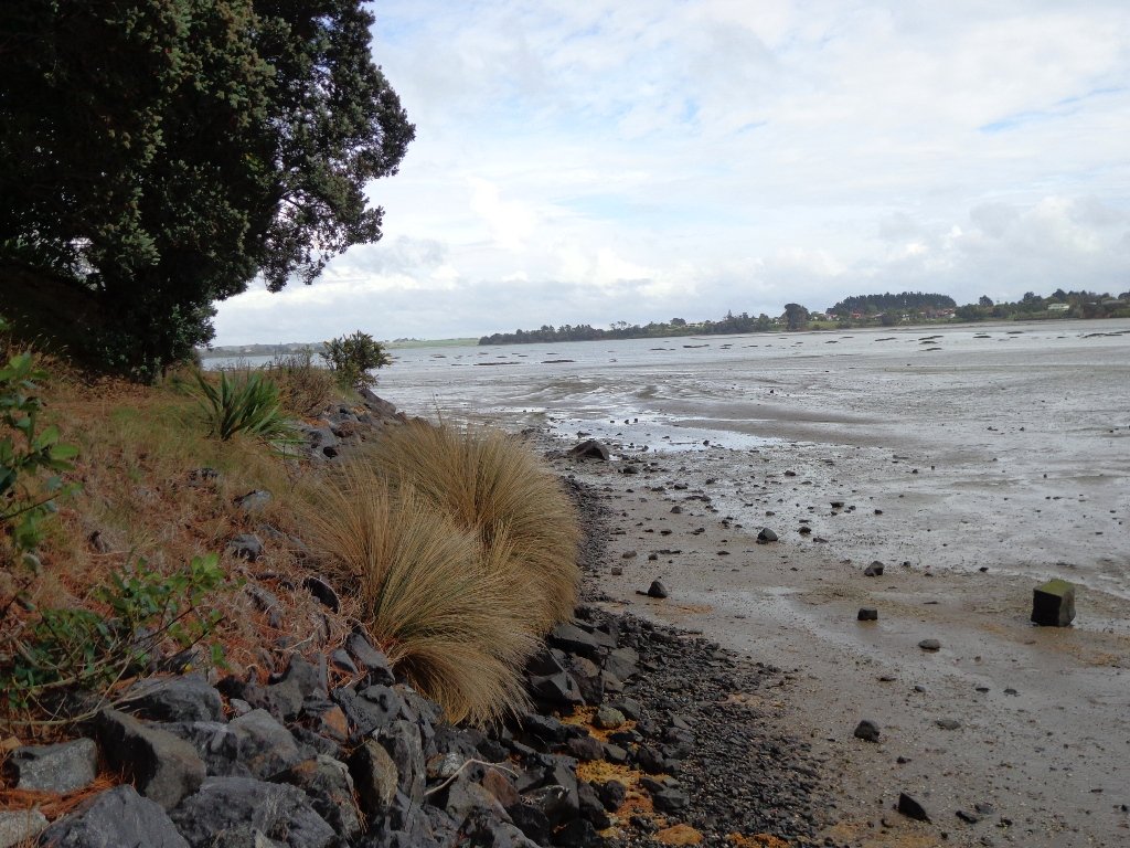
Today was our first walk around the 3 km perimeter of Omana Regional Park near Maraetai (pronounced my-right-eye). The walk itself was pretty uninteresting apart from the view looking back to Auckland City. However, the walk along the coastline from Omana Beach to Maraetai Beach was much more interesting.
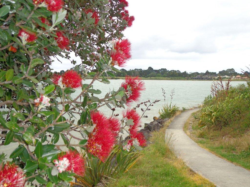
The weather was brilliant and it was fabulous to see so many people out enjoying themselves in and on the beautiful blue clear water, as well as picnicking on the grassy shore in the shade of the pohutukawa trees. The tide was high (actually a “king” tide) which added to the beauty.
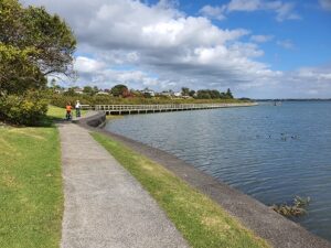
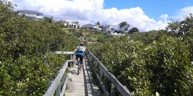
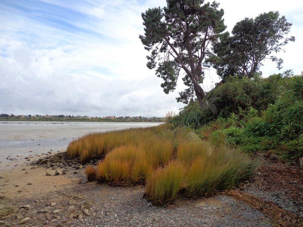
The shared pathway/cycleway between Maraetai and Beachlands is very scenic, and suitable for family cycle rides.
Description: Mostly level paths, with a few short steep bits. Gravel and sealed track/paths. Sturdy footwear recommended for Omana loop.
Suitable for most ages and levels of fitness and mobility, designed with flat shoes or running shoes in mind.
To see: Farmland, bush, coast, boats.
Time: We did the Omana perimeter loop (3kms) and walked to Maraetai return (5kms).
Start: Either from Maraetai or Omana Beach Road. Map
The combined walks of Maraetai and Omana lived up to our expectations of a diverse walk – farmland, bush, coast, boats and village.
Click on photo to enlarge.
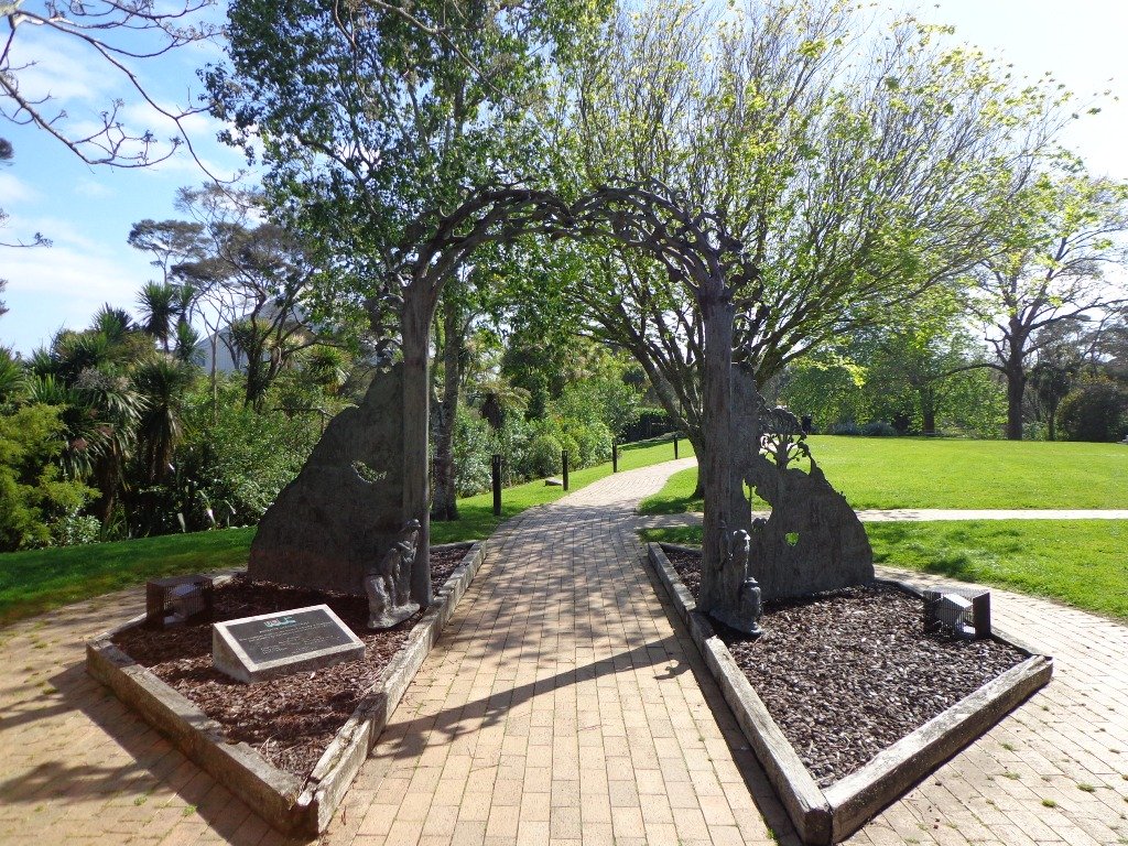
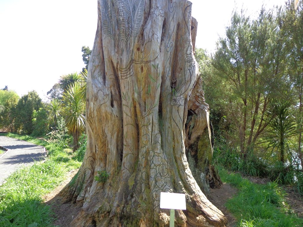
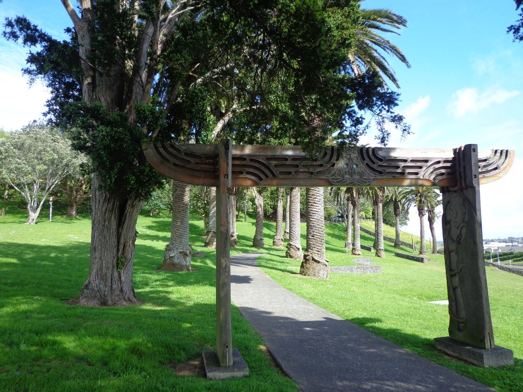
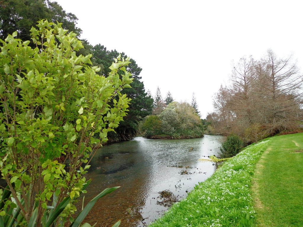
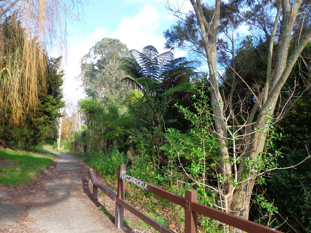
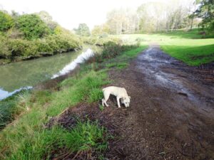
It turned out to be a wonderful warm spring day – perfect for exploring the pathways beside Henderson Creek in West Auckland. The previous Waitakere City Council has spent a great deal of ratepayers money on providing walkways and cycle-ways throughout the district. It was heartening to see people make the most of them as we walked alongside the Creek.
Hopefully the “International Walkway of Trees” section will become a wonderful legacy as many of the trees were gifted and planted for future generations by representatives of the ethnic communities living in Waitakere City as at October 2000.
What was missing though, was signposting and maps to indicate where you were and how far to go. We had printed off our own map before starting off, but for newcomers without a map, they could only venture there and back, for fear of getting lost.
Henderson Creek was once a hive of activity for traders, vintners, farmers, orchardists and families, and the area was also known for it’s timber milling industry.
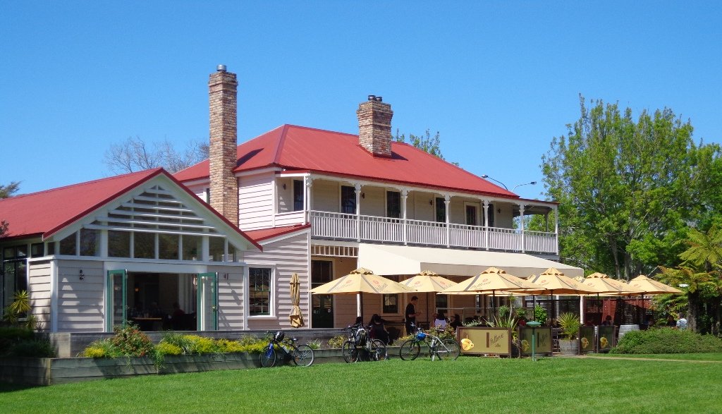
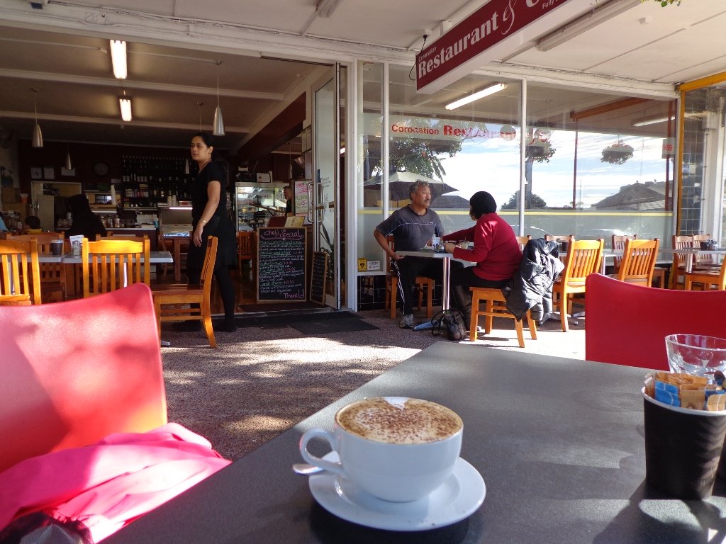
We did enjoy our 4.5km walk – the sun was shining, the birds were singing, we were sheltered from the cool breeze and this was a part of Auckland that was new to us. To top it all off, we had a delicious coffee at The Falls Restaurant – sitting outside in the sunny courtyard.
Dogs – Off leash areas within reserves and parks.
Description: Mostly level paths. Suitable for most ages and levels of fitness and mobility, designed with flat shoes or running shoes in mind. Suitable for pushchairs. To see: Henderson Creek, historical sites. Time: approx. 60 minutes (about 4.5kms). Parking: Public carpark (free on Sundays). Start: Corner Edmonton Road/Alderman Drive. MAP Playground: Tui Glen Reserve (includes a flying fox).
Stay on track…find this walk’s map and directions guide (AW-094 Henderson Creek Loop) and other walk self-guides at our Walk Store and our Book Store (one of 12 walks featured in our books “Dog Friendly Walks part 3” and “Best of the West”).
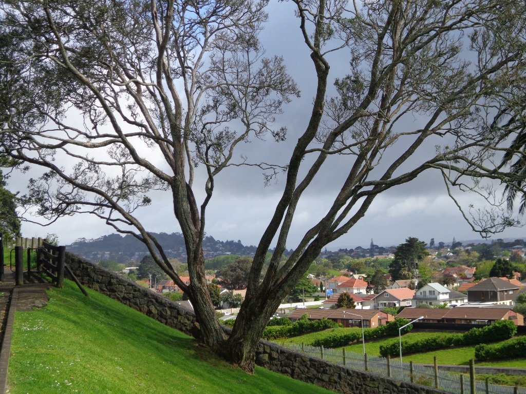
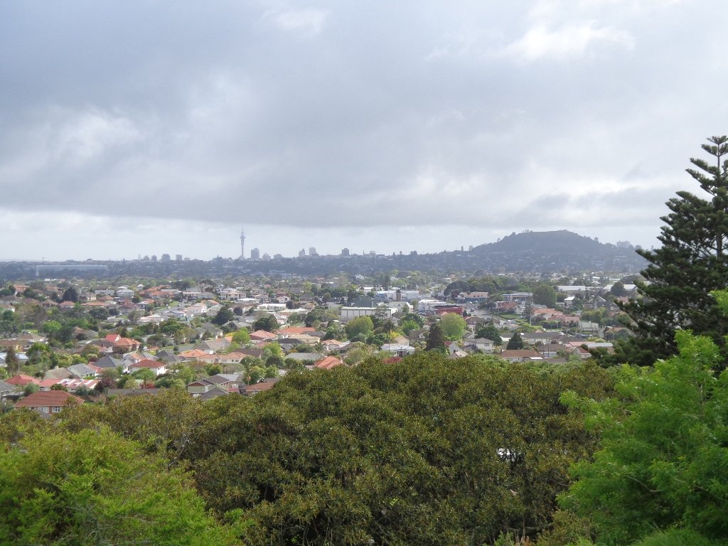
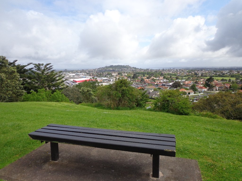
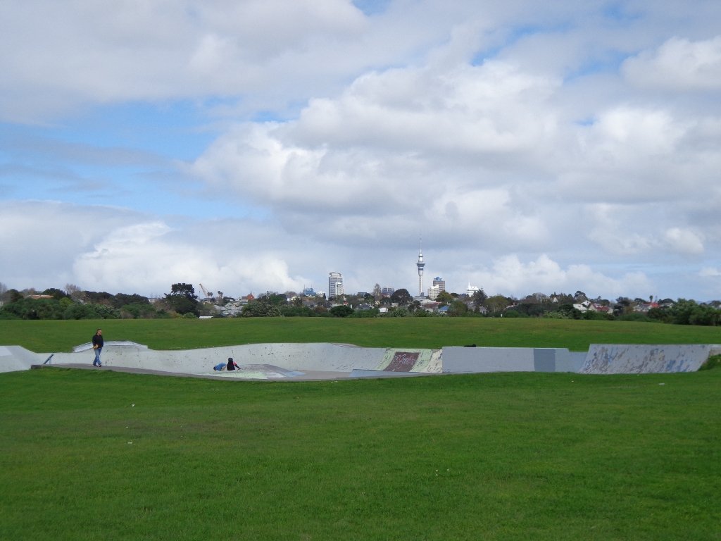
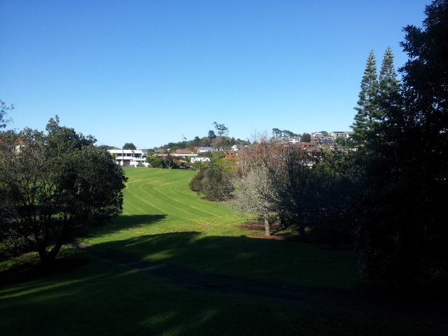
We had overlooked Mt Roskill as a place to walk and explore… until today. The volcano double cone and twin craters of Mt Roskill have been destroyed through the installation of a water reservoir, but from the top it is easy to view Mt Albert, Mt Eden, Big King and One Tree Hill.
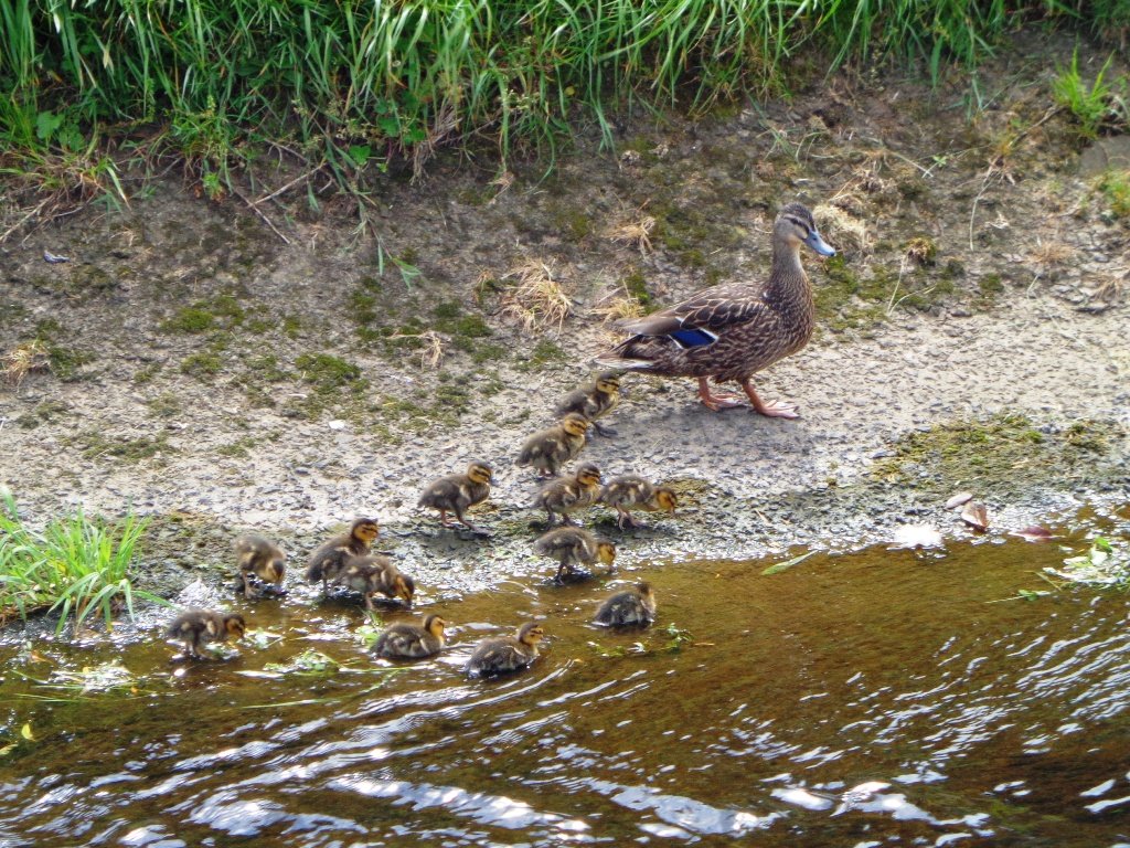
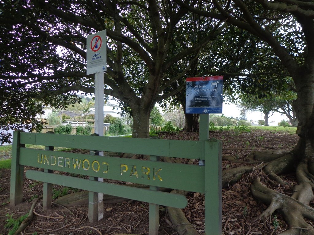
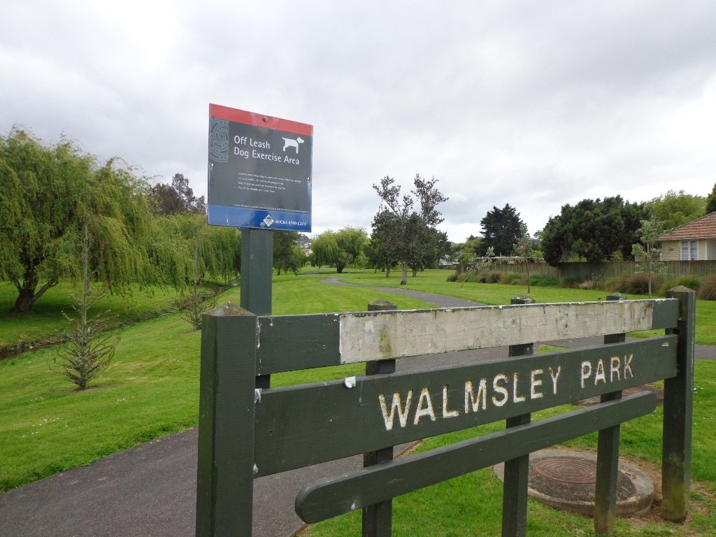
Our flat walk (if you choose not to walk up to the summit of Mt Roskill) links up three reserves – War Memorial Park, Walmsley Park and Underwood Park. Take some bread to feed the ducks in Oakley Creek. The final part of the walk is at the colourful shops of Stoddard Road.
The walking route is also great for cyclists, prams/buggies and dog walkers (on leash and off leash dog exercise areas in Walmsley Park and Underwood Park.).
We stopped for a very good coffee at an almost hidden Ethiopean cafe in the Tulja Centre called Cafe Abyssinia.
9th December 2013 – a new cafe has opened at 740 Sandringham Road Extension. Give your support to a community project – the Roskill Coffee Project.
Please note: An upgrade of Oakley Creek storm-water project has been proposed by the Local Board. If it goes ahead, there will be some disruption along this route within Walmsley and Underwood Parks from 2016. Read about it here.
Description: Mostly level paths, steep paths ascent to summit of Mt Roskill. Suitable for most ages and levels of fitness and mobility, designed with flat shoes or running shoes in mind. Suitable for wheelchairs and pushchairs if Mt Roskill summit is avoided.
To see: Views of Auckland City skyline, Mt Albert, Mt Eden, Three Kings, One Tree Hill. Oakley Creek and ducks. Time: approx. 90 minutes (about 7.5 kms). Start: Corner of Sandringham Road extension/Stoddard Road. MAP
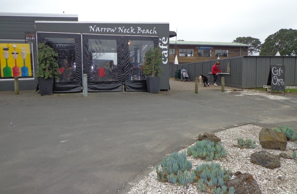
The dark grey sky and strong winds did not bode well for our walk from Narrow Neck Beach (north of Devonport) to Ngaratinga Bay – a mini coast to coast loop. However, we did stay dry and the walk was invigorating and very enjoyable with plenty of interest along the route.
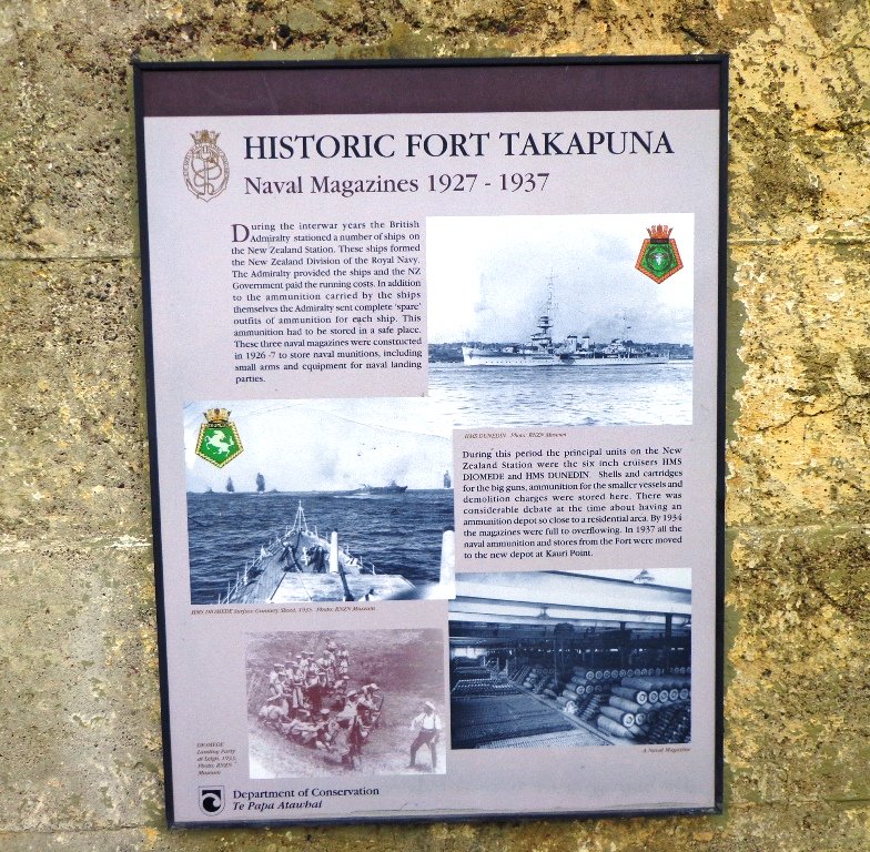
Fort Takapuna Reserve stands guard above Narowneck Beach and is one of four off leash dog exercise areas. The other off leash areas are: Ngaratina Park, Woodall Park and Cambria Reserve. Cheltenham Beach is off leash at certain times.
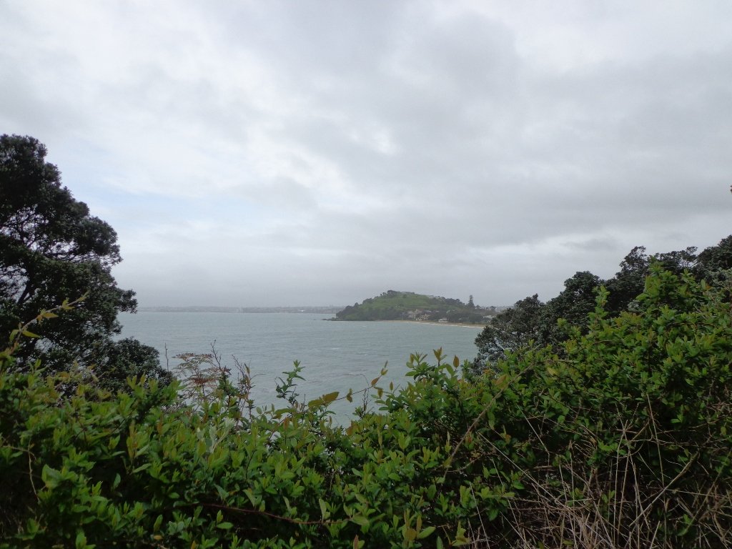
From Fort Takapuna Reserve there is a good view across Cheltenham Beach to North Head.
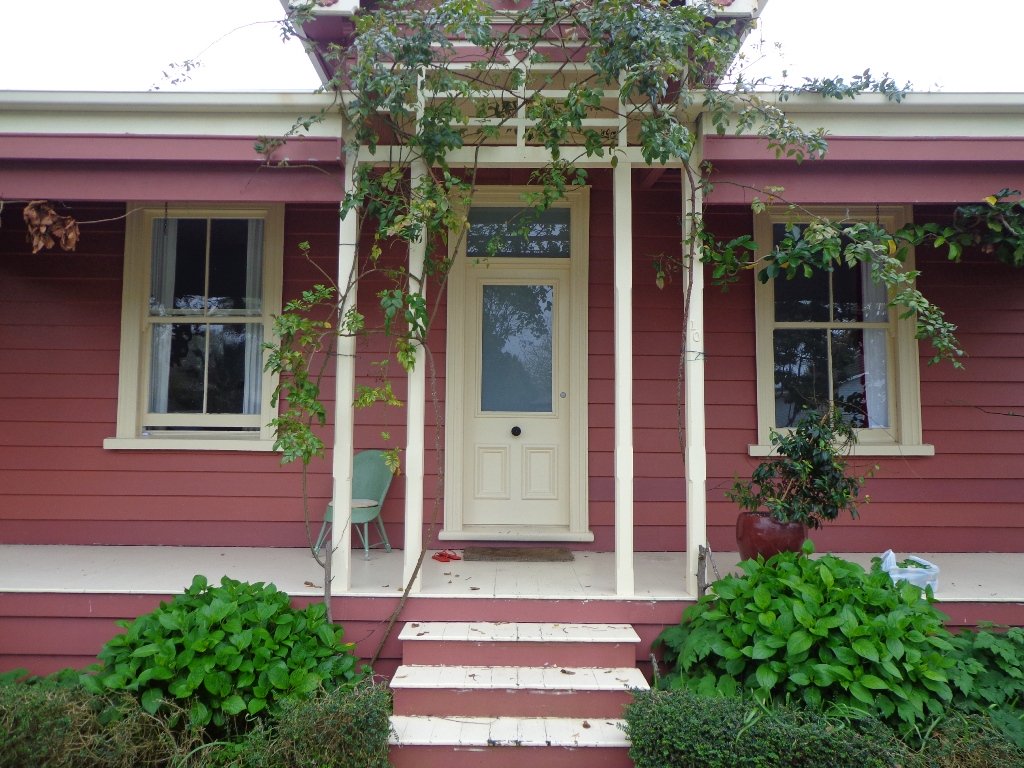
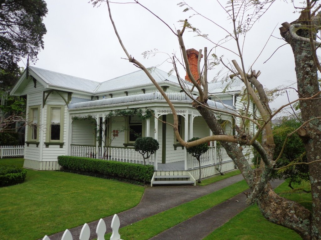
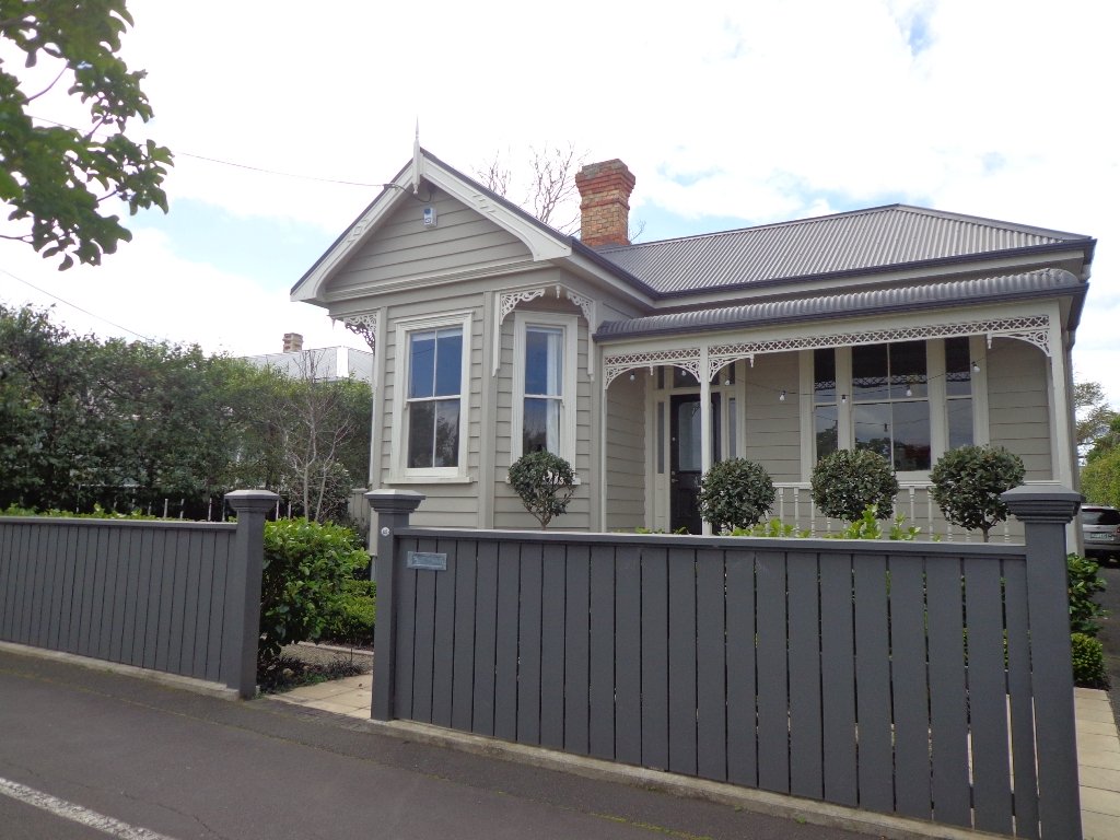
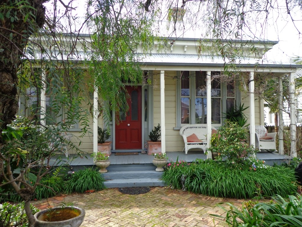
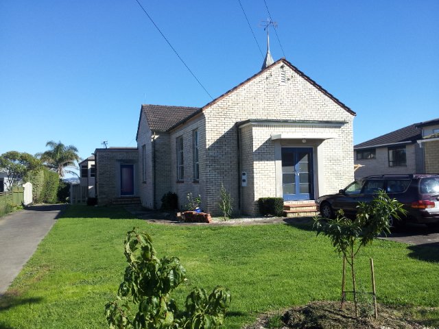
There is only a little of street walking and that provides a peek at the pretty Victorian style houses that Devonport is well known for.
If you have time, you may wish to stop at the Devonport Museum – you will pass by the entrance along the route.
Description: A mix of level paths, steep paths and steps. Suitable for most ages and levels of fitness and mobility, designed with flat shoes or running shoes in mind. Not suitable for wheelchairs and pushchairs. To see: Wonderful Hauraki Gulf and Auckland City views, views of North Head and Mount Victoria, historical buildings & sites, Victorian style homes. Time: approx. 60 minutes (about 5.5 kms). Dog off leash areas. Children’s playgrounds. Start: Old Lake Road, Narrow Neck. MAP
With the weather looking uncertain and the wish to keep our shoes out of the mud, today we headed over to one of our favourite places to walk in Auckland – Devonport. We were uncertain of where we were headed, and as it turned out, we were very pleasantly surprised at how well our circular route revealed itself.
As always, it is uplifting to walk along the esplanades and parades of Devonport with the view across the Gulf and to the skyline of the city and beyond. And then the joy of looking at the beautifully kept Victorian style homes. Followed by the sounds of birds as we walked alongside Ngataringa Park.
Dogs – off leash exercise area in Ngataringa Reserve.
We are then spoilt for choice as to where to stop for refreshments, and choosing from the many cafes can take time!
Description: A mix of level paths, steep paths and steps. Suitable for most ages and levels of fitness and mobility, designed with flat shoes or running shoes in mind. Not suitable for wheelchairs and pushchairs. To see: Hauraki Gulf and Auckland City views, historical buildings, Victorian style homes. Time: approx. 60 minutes (about 5.5 kms). Parking: In Devonport Village near ferry terminal or along King Edward Parade. MAP
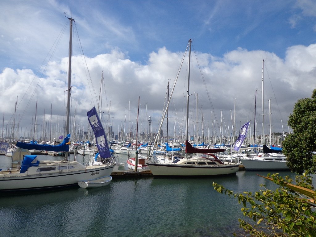
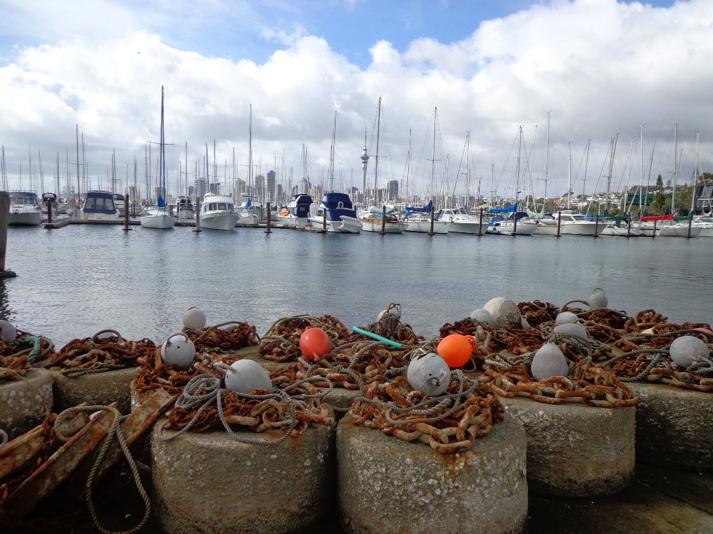
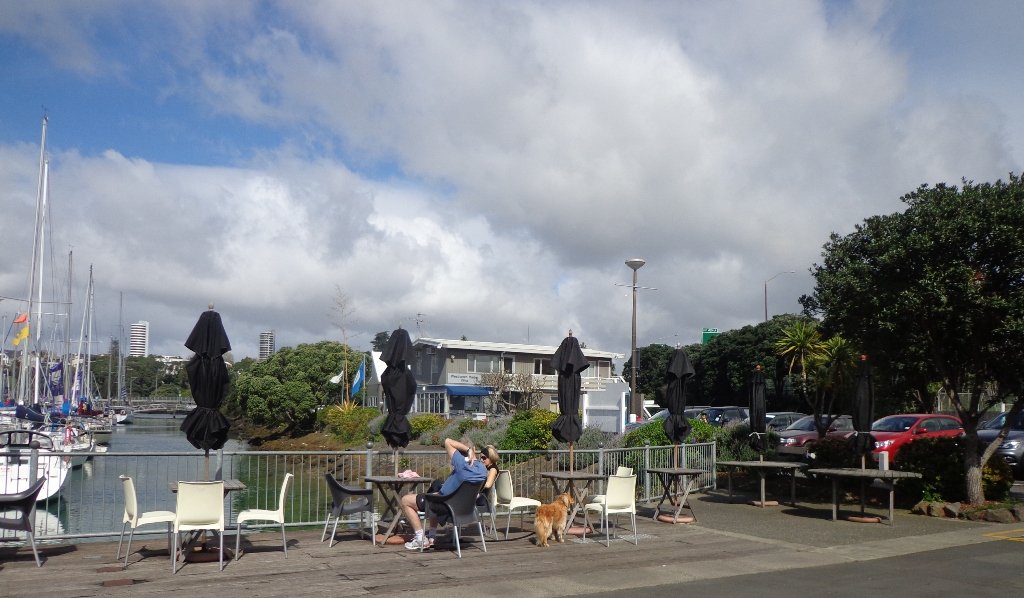
It has been a while since we have headed down to Westhaven and Point Erin Park. We found three good reasons to make a return visit. It seemed appropriate to be down at Auckland’s waterfront while TeamNZ was enduring their second race of the competition for the America’s Cup! We had watched the new pedestrian bridge crossing the motorway from the steep steps of Jacob’s Ladder being built, but still had not traversed it. And the dark grey clouds threatened rain and we did not want to be a long way from shelter.
And the results were…TeamNZ won their second race, the pedestrian bridge looks better when you are on it and we stayed dry!
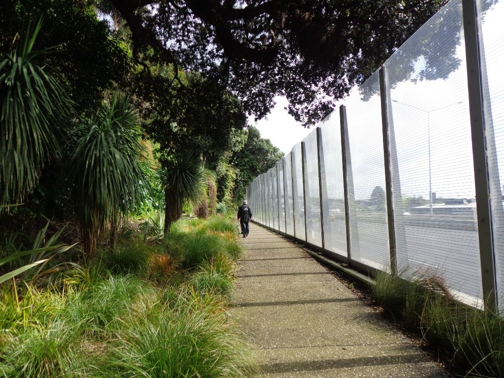
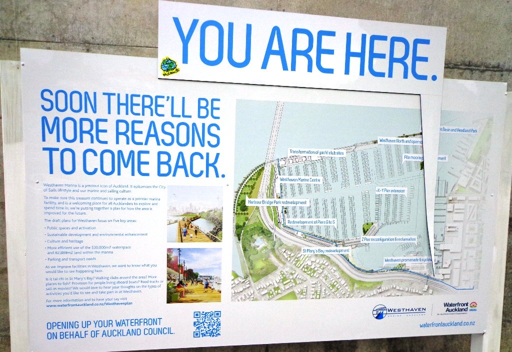
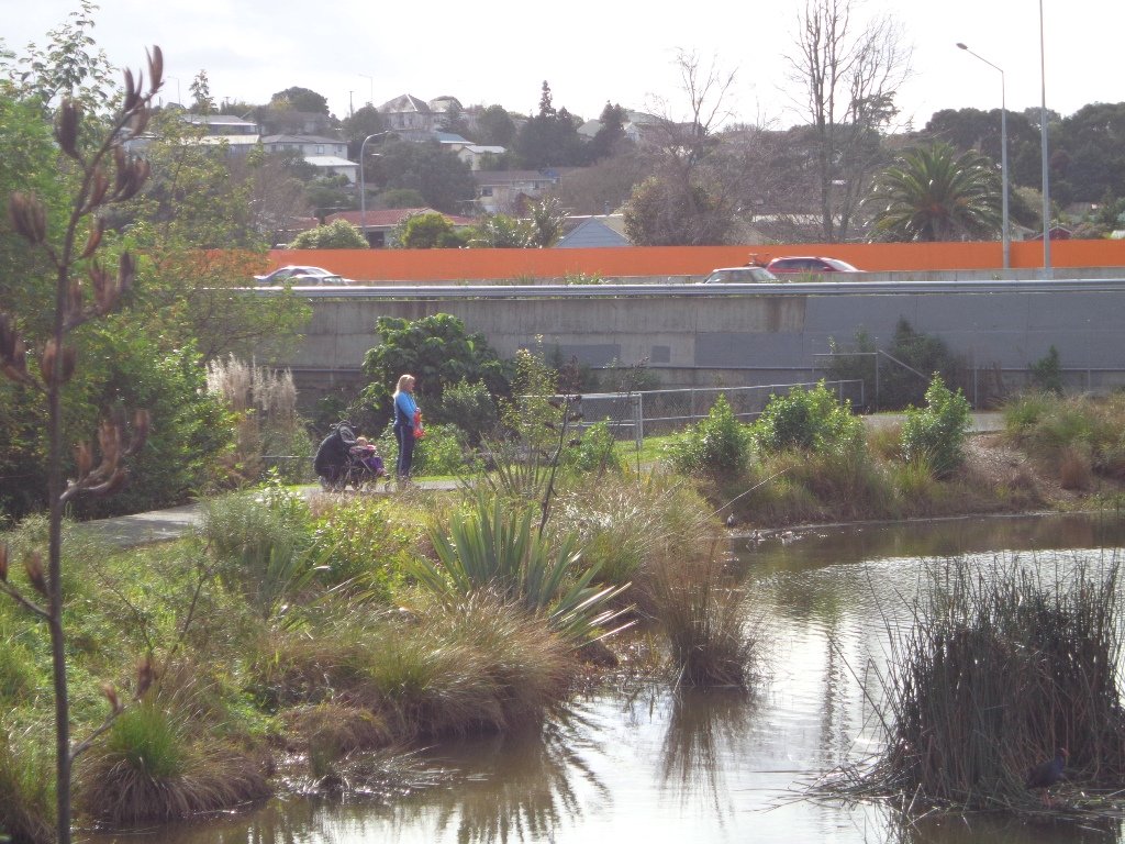
Since we last visited, the Council has built a new pathway that runs alongside the motorway, with panels that effectively screen the motorway traffic noise. It promises to be beautiful in December when the red flowers of the pohutukawa trees are in bloom.
30th January 2015: The Westhaven Promenade is now open. This will form part of a 20km continuous walkway and cycleway that runs from Herne Bay in the west to Tamaki Drive in the east. Read more: Westhaven Promenade
Description: Mainly level paths, two flights of steps. Suitable for users of average fitness and mobility. Running shoes suitable. To see: Auckland City views, Rangitoto Island views, harbour views, Harbour Bridge. Time: approx. 45 minutes. (about 4.24 kms). Point Erin Park for Dog off leash area, Playground, Picnic site. Children’s scooter friendly apart from the steps. Start: Westhaven Drive, Saint Mary’s Bay (Harbour Bridge end) MAP
Stay on track…get your detailed guide and map over at our Walks Store (AC-088 Westhaven Loop) and our Book Store (one of 12 walks featured in our book “Dog Friendly Walks part 3”).
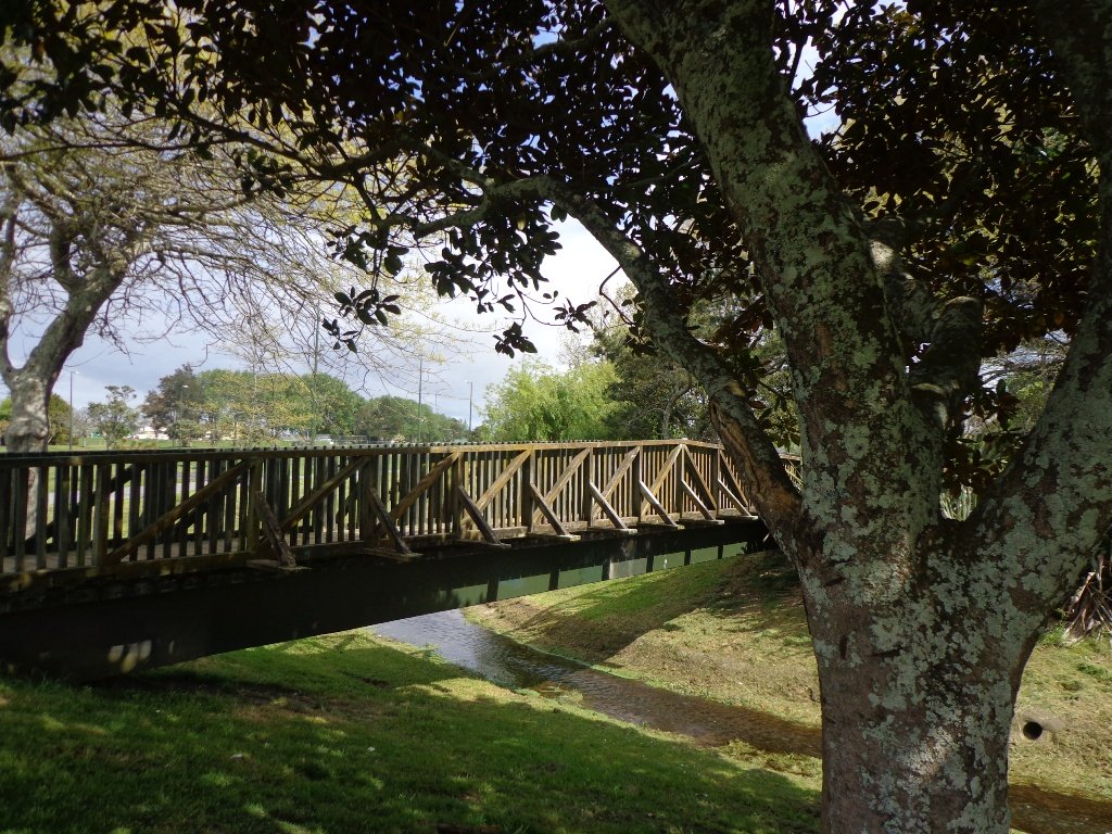
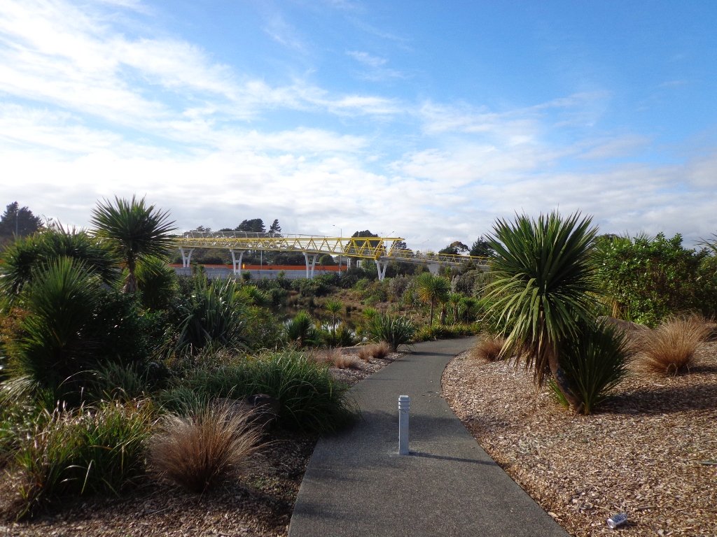
We have done this Moire Park Bush Walk in Massey, West Auckland, twice previously and this time we returned to make use of the yellow walking/cycling bridge that now crosses the motorway.
Note: this GPS Google Map is of Moire Park and does not include some of the extra walking described in the description below and brochure.
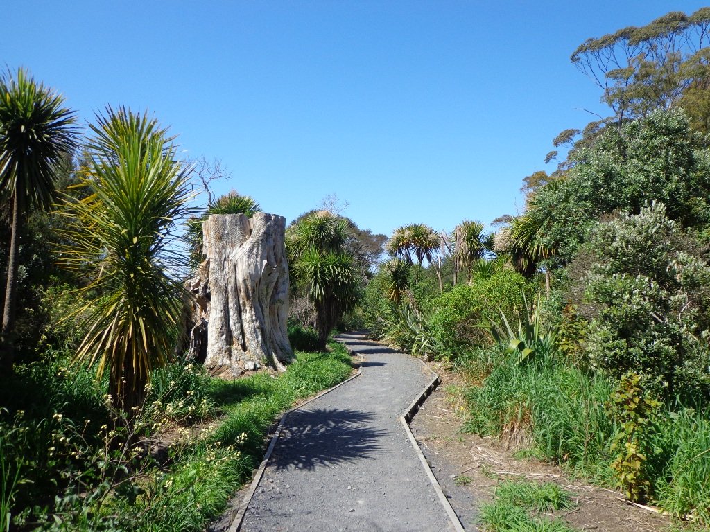
The walk now begins from Westgate Shopping Centre with the option of starting from the Moire Park sports complex off Granville Drive, if preferred. There is a short stretch of street walking, but the majority of the walk is off road with a long stretch through native bush, following the Manutewhau Stream.
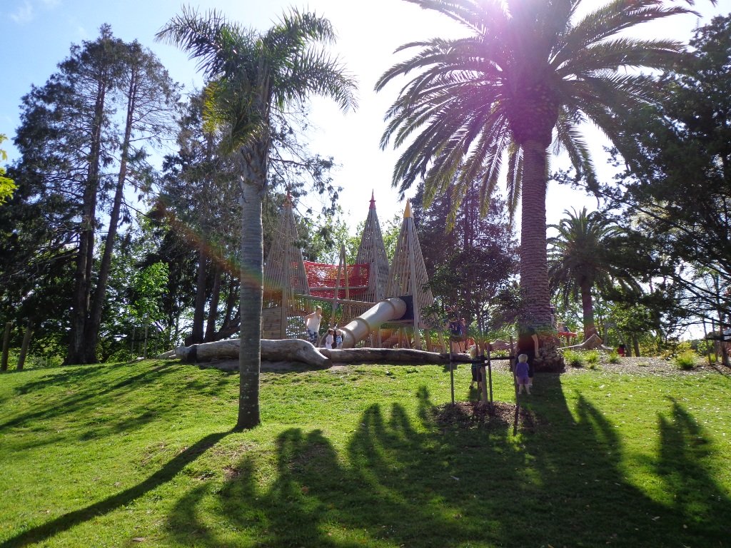
There is a collection of children’s playgrounds (some with flying fox) that could provide a great incentive for doing the walk with children, and if you take some bread, you may wish to feed the ducks in the ponds near Westgate.
The view from top of Flaunty Reserve across Auckland Harbour to the city can be breath-taking.
Description: A mix of level paths and steep paths. Suitable for users of average fitness and mobility. May require boots in wet weather, running shoes suitable in dry weather. Muddy tracks after rain. To see: Auckland City views, Waitakere Hills view, views of Te Atatu Peninsula, native trees and fauna, urban development. Childrens playgrounds. Dog friendly off leash areas. Time: approx. 75 minutes. (about 6 kms) Parking: Westgate Shopping Centre. Buses: Westgate Shopping Centre MAP
Stay on track…get your detailed guide and map (AW-031 Moire Park Bush Walk) over at our Walks Store and our Book Store (one of 12 walks featured in our books “Urban Bush” and “Dog Friendly Walks part 1” and “Best of the West“).
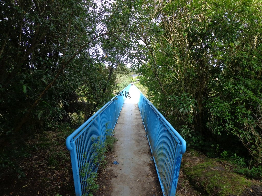
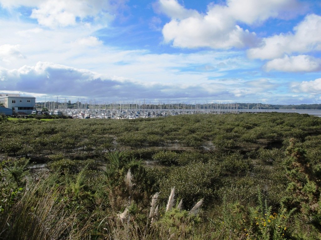
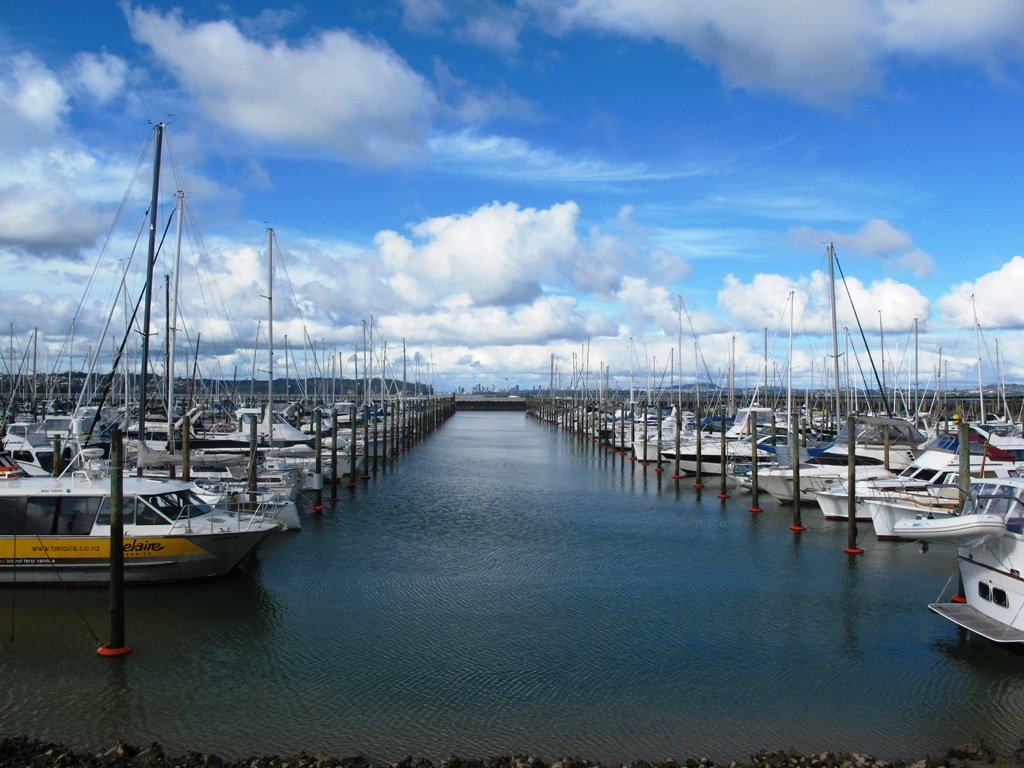
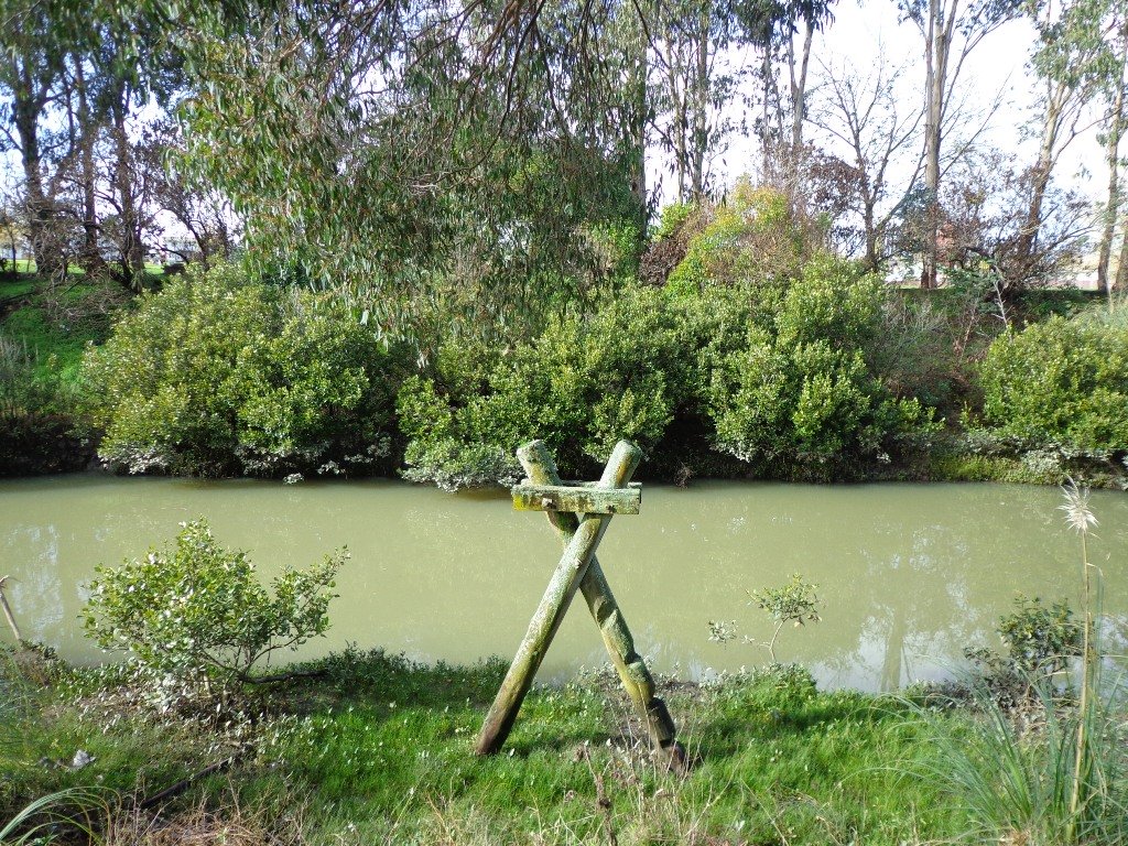
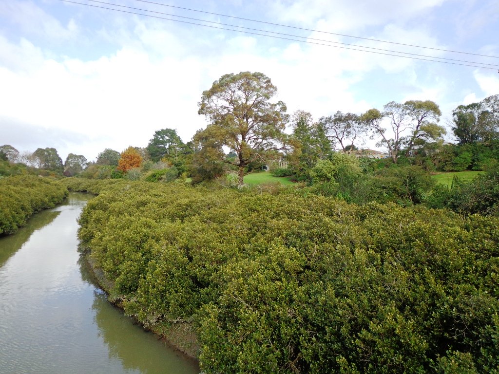
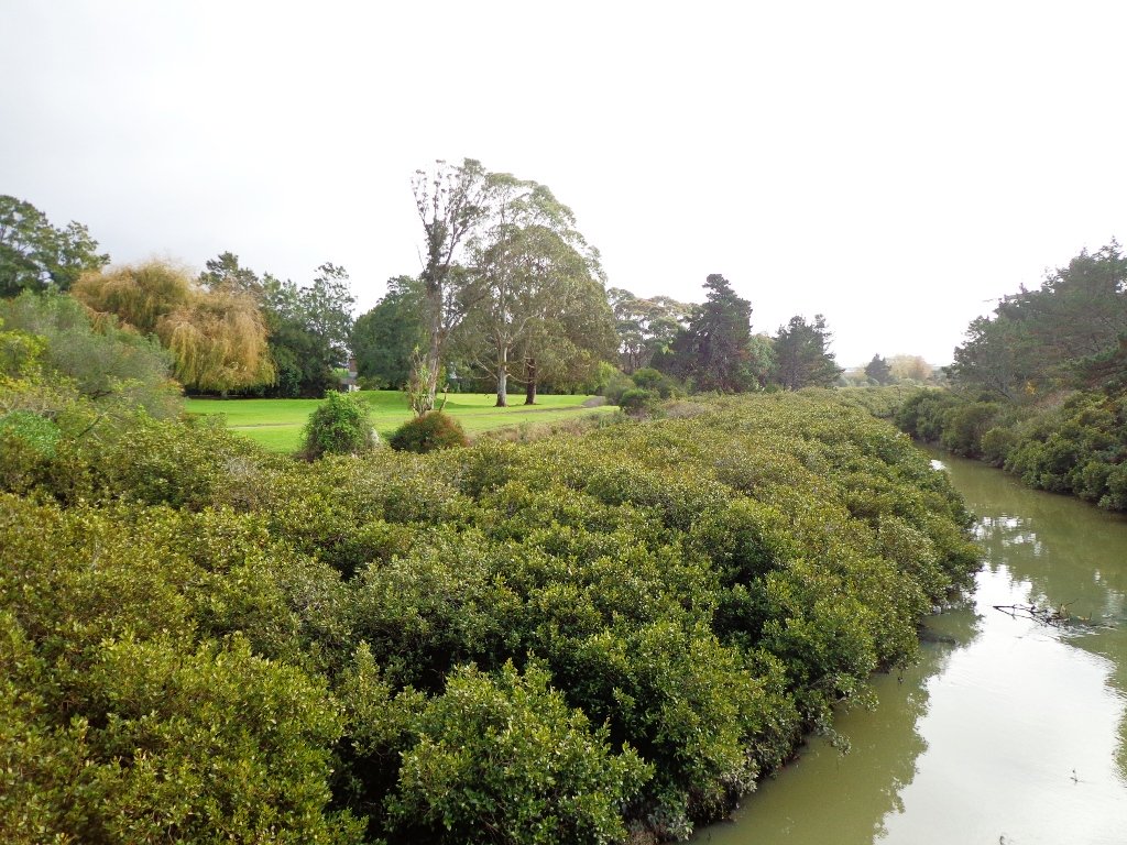
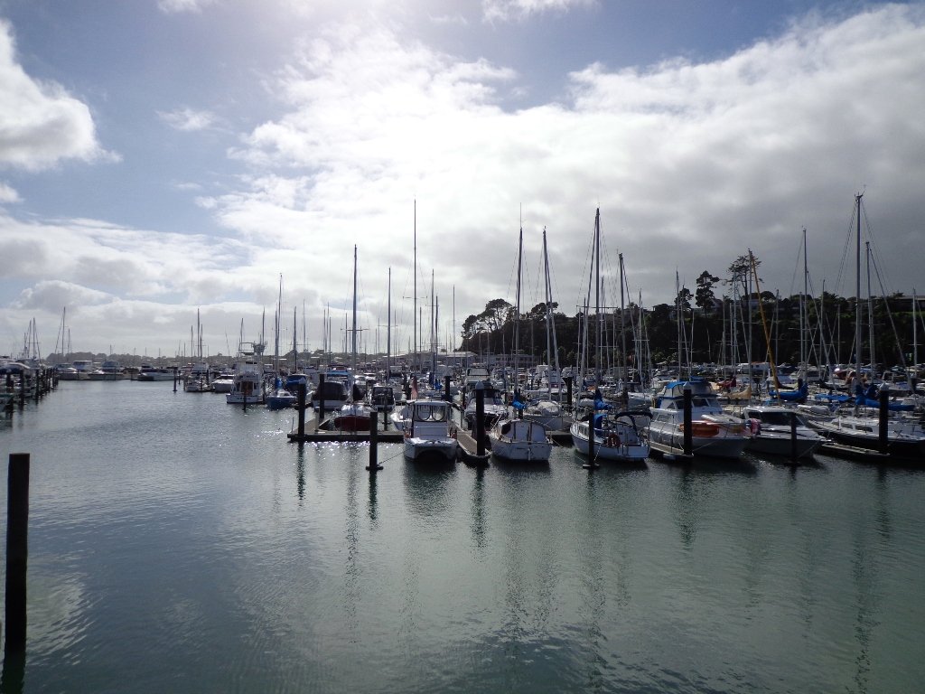
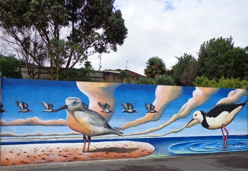
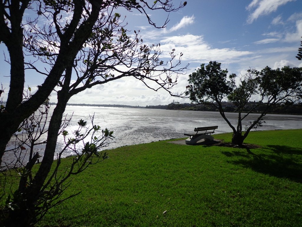
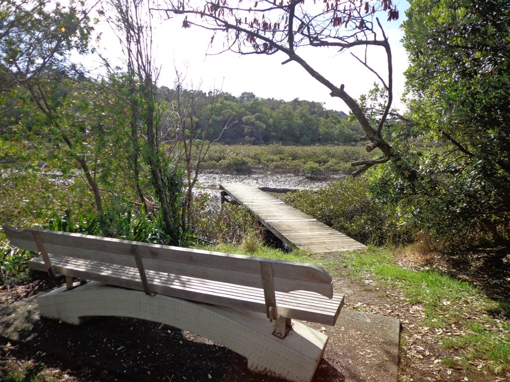
West Harbour is tucked in between Hobsonville Point and Moire Park. The walk circuit is short and does provide a couple of viewing points east to the city skyline. Start at the Waipareira Walkway at the West Harbour Marina and enjoy a coastal walk meandering in and around many little inlets, passing by wetlands and through native bush. If you are lucky, you may catch glimpses of bush birds like fantails and tui. There’s a nice picnic spot and children’s playground at Luckens Reserve (the swimming beach is below the reserve).
The tide soaked mangrove forest, provides a buffer between land and sea and is a nursery for fish and a safe haven for the many seabirds that nest there.
It is interesting to see the change in residential housing from mansions to more modest accommodation.
Visitors to Auckland may wish to catch a ferry to West Harbour, do the walk and then stay for lunch at either the cafe or restaurant, before returning to downtown Auckland. At Clearwater Cove you have the option to extend your walk by visiting the West Park Marina to watch the boats come and go.
Dogs – off leash exercise areas within the reserves.
Description: Mainly level paths. Suitable for users of average fitness and mobility. To see: Clearwater Cove marina, views of Auckland City, Mangrove, native brids Time: approx. 90 minutes. (about 5.75 kms) Start: Clearwater Cove Marina, West Harbour MAP
Stay on track…get your detailed guide and map (AW-074 West Harbour Circuit) over at our Walks Store and our Book Store (one of 12 walks featured in our books “Coastal part 2” and “Best of the West“).
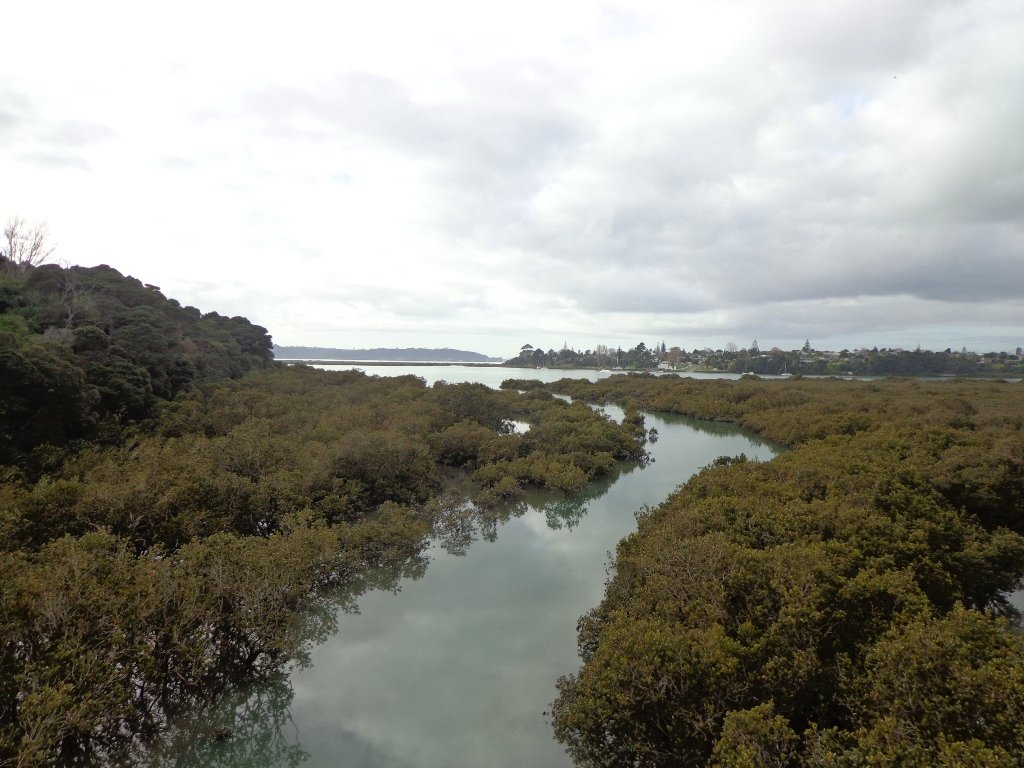
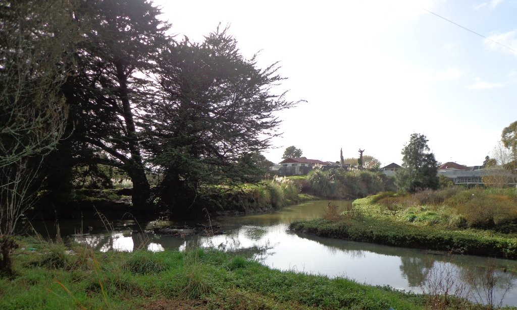
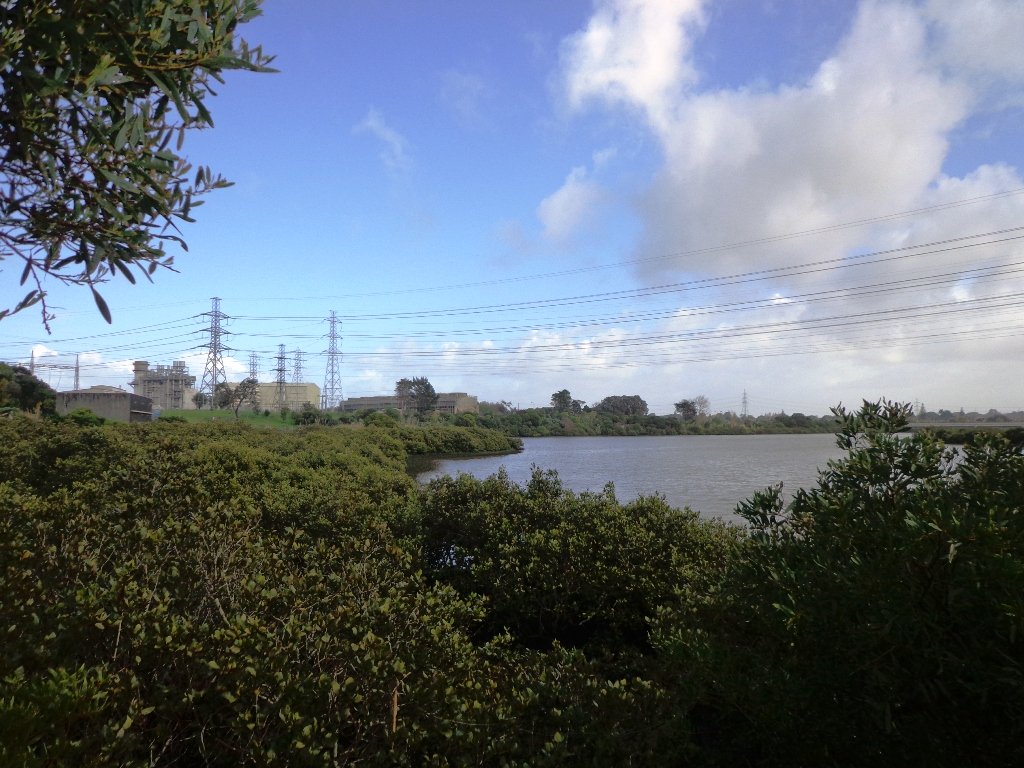
The Otara Creek Walkway in South Auckland, passes through some 220 hectares of waterway/tidal mudflats and forms a green corridor within Otara township.
This huge reserve was almost empty today; we saw two cyclists and one stray dog.
This walkway is ideal for family cycling and for taking your dog for an off-leash walk. (Dogs are welcome along the walkway provided they are kept under control and do not disturb wildlife or other park users. Dogs are not permitted on sport fields or near children’s playgrounds.)
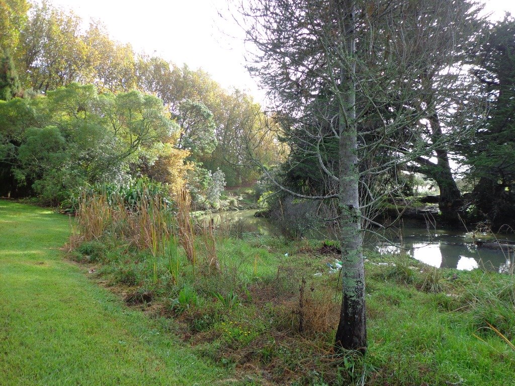
The creek has mangrove mud flats and is sadly polluted – the locals seems to take delight in dropping shopping trolleys into the creek. However, if you can overlook the neglect, you may find enjoyment in the bigger view: the sounds of the birds and the trees and the native plants within the Otara Creek Reserve.
When I got home the thought came to me what it was that was missing here. Other walks along waterways in Auckland like Wattle Downs and Conifer Grove have homes facing the waterway, but here alongside Otara Creek, there are only fenced off back yards. Would people feel a sense of ownership, if another row of houses inside the reserve faced the creek?
Description: Mainly level paths. Suitable for users of average fitness and mobility. Dog friendly. To see: Otara Creek and estuary, mangrove mud flats Time: approx. 75 minutes. (about 5.75 kms) Start from: Fair Mall, Bairds Road, East Tamaki MAP
Stay on track…get your detailed guide and map (AS-073 Otara Creek Walkway) over at our Walks Store and our Book Store (one of 12 walks featured in our books “Dog Friendly Walks part 3” and “Best of the South”).
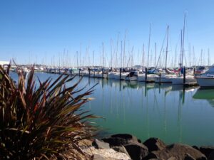
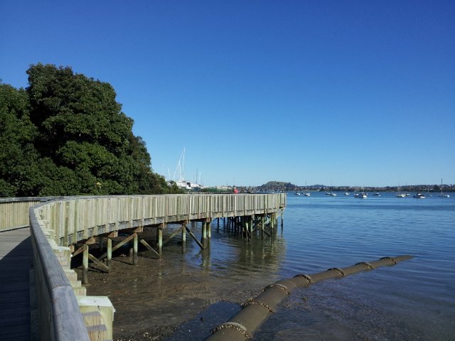
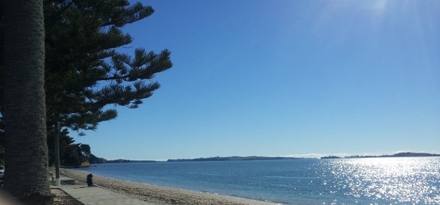
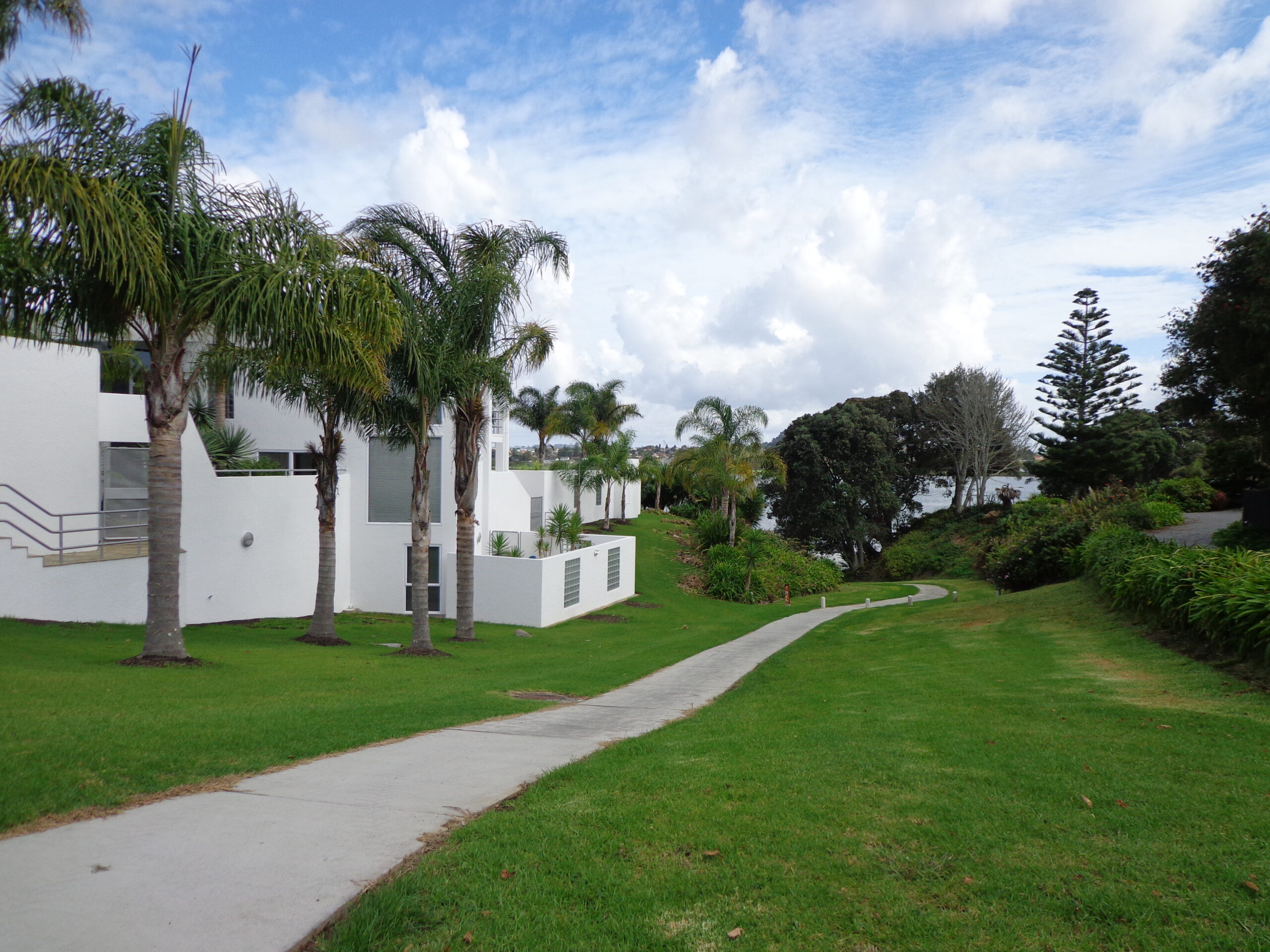
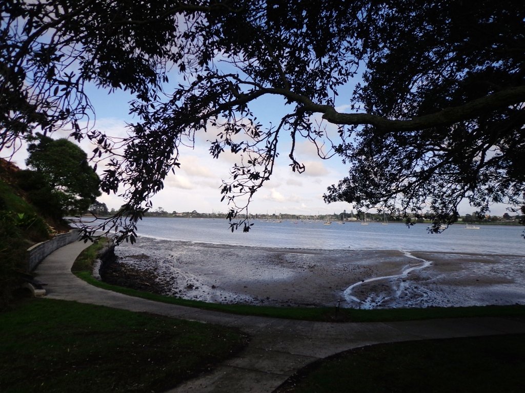
This walk at Half Moon Bay explores the parks and reserves to the east, and then heads down to Eastern Beach. On a sunny day at high tide it is quite beautiful! The new-ish boardwalk, is a great finishing touch as you return to Half Moon Bay.
It was very busy at the Half Moon Bay cafes today – with many people out making the most of the sunny, warm weather and Mothers Day.
Description: Mainly level paths, steep steps and steep slopes. Suitable for users of average fitness and mobility. To see: Views of Tamaki Estuary, marina, Eastern Beach Esplanade; views of Rangitoto, Mount Wellington and One Tree Hill Time: approx. 75 minutes. (about 6.0 kms) Start from: Half Moon Bay Marina MAP
Stay on track…get your detailed guide and map (AE-072 Half Moon Bay East) over at our Walks Store and our Book Store (one of 12 walks featured in our books “Coastal part 2” and “Best of the East”).
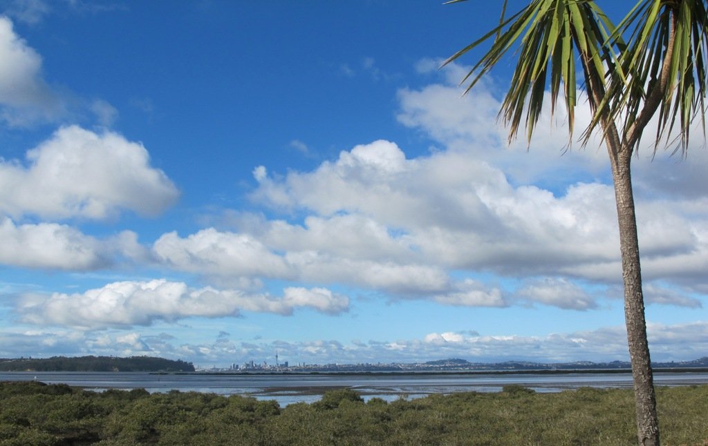
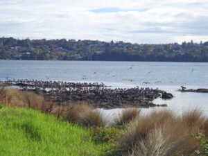
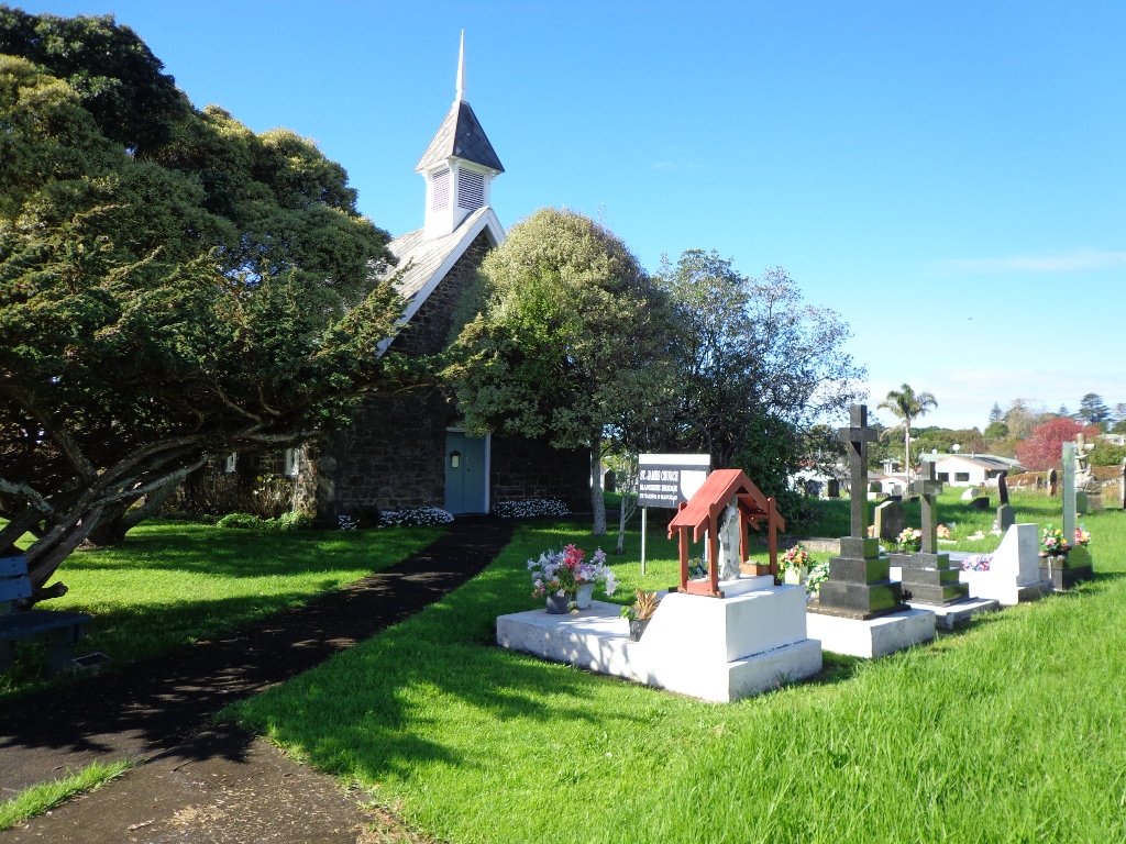
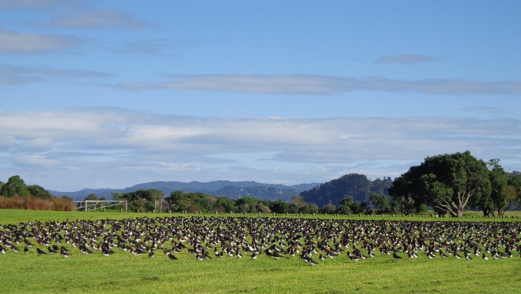
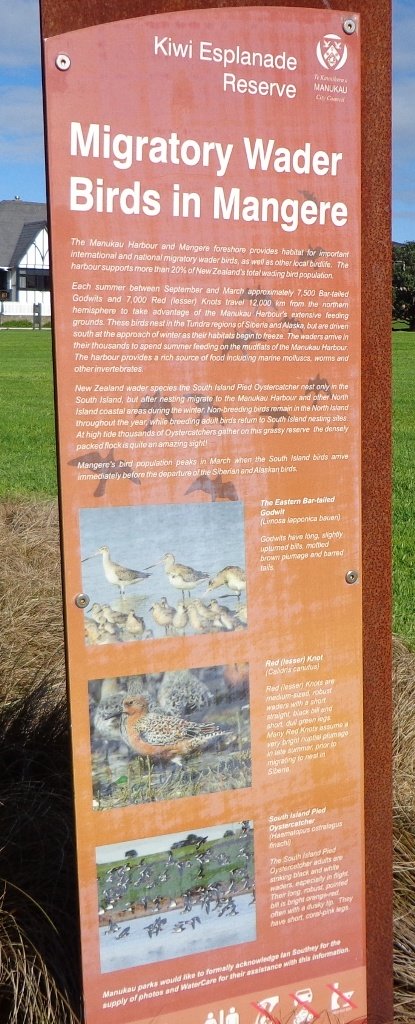
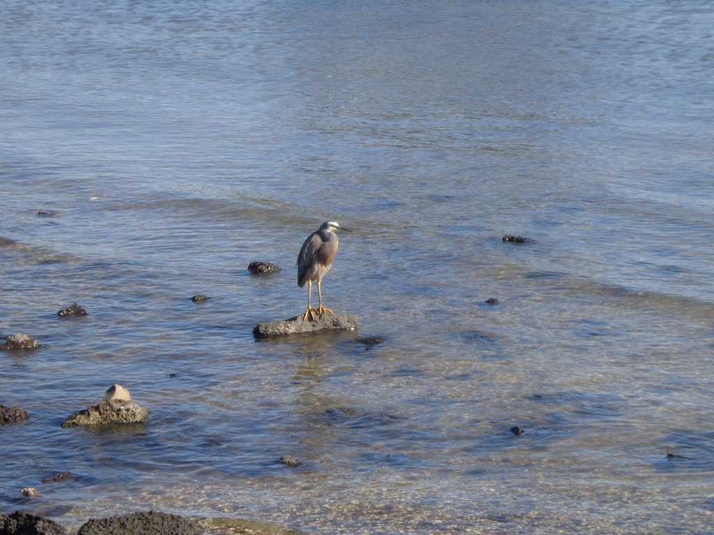
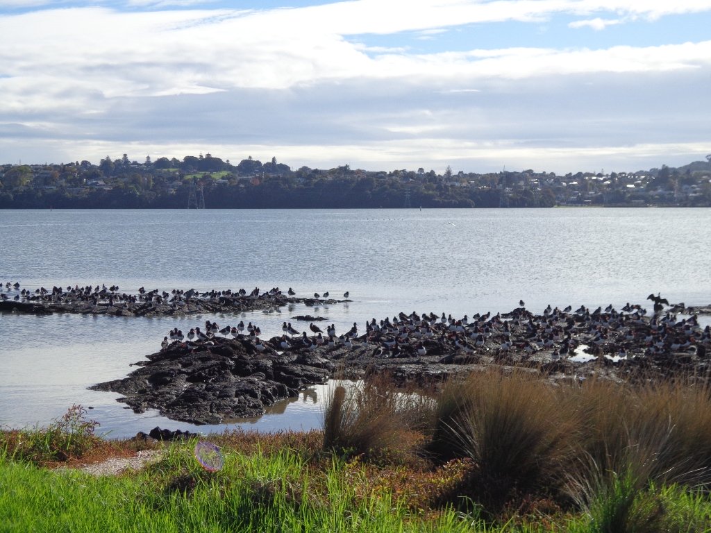
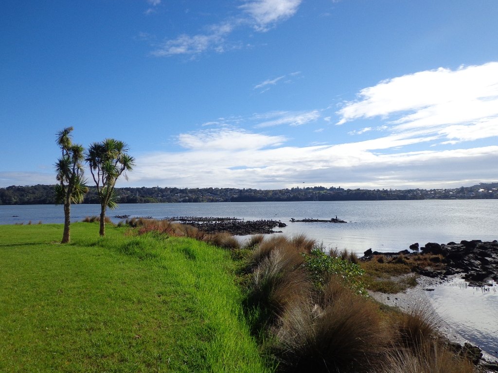
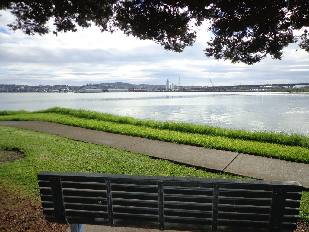
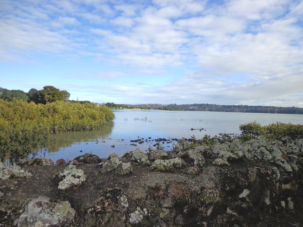
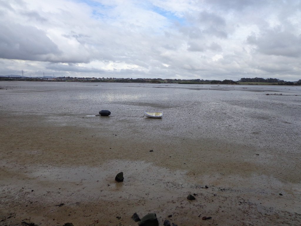
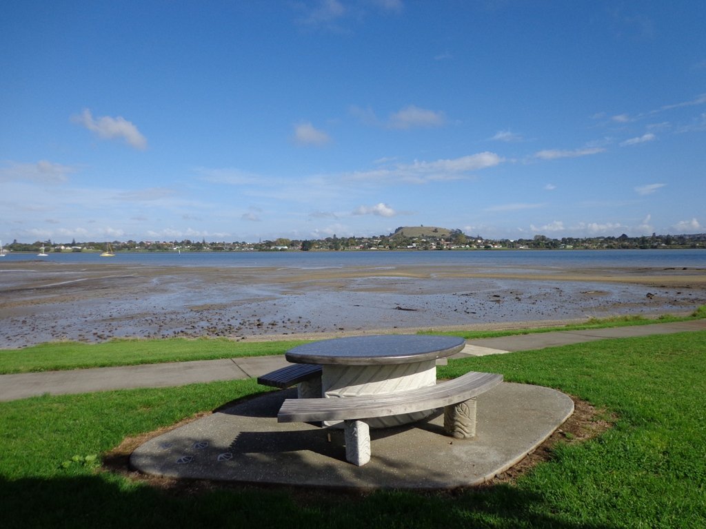
It was a treat to walk along Kiwi Esplanade (Mangere Bridge) at high tide in the sunshine this morning. We had clear views to One Tree Hill and nearby Mangere Mountain, and sighted the migratory South Island Pied Oyster Catchers sitting on the rocks and reserves.
It’s always a pleasure to visit Mangere Bridge Village, with it’s parade of cafes and interesting folk. The area was busy today with walkers and cyclists.
The walking route is also great for prams/buggies and dog walkers (on leash only).
Description: Mainly level paths, with just one gentle downhill slope. Suitable for users of average fitness and mobility. To see: Views of Manukau Harbour, One Tree Hill, Mangere Mountain, Pukeko and shore birds habitat. Time: approx. 75 minutes. (about 6.23 kms) Start: Coronation Road, Mangere Bridge Village MAP
Stay on track…get your detailed guide and map (AS-071 Mangere Esplanade Loop) over at our Walks Store and our Book Store (one of 12 walks featured in our books “Coastal part 2” and “Best of the South”).
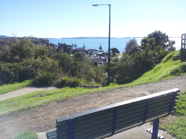
Half Moon Bay was bathed in sunshine this morning – very welcome after a week of rain. The walk west follows the cliff tops with fantastic views of Point England Reserve, Tahuna Torea, Rangitoto and Mount Wellington.
It’s been a while since we had visited Half Moon Bay; the last time there was a lot of building work going on.
We were prompted by Brett to return – this is his suggestion “A great one to commute to by ferry, go for a walk & check out the cafes, restaurants & bar at Half Moon Bay Marina, even a supermarket now at the marina. Best kept secret, free push bikes available from Grangers Restaurant & Bar!” Thanks for the tip, Brett!
Description: Mainly level paths, some steps and steep slopes. Suitable for users of average fitness and mobility. To see:Views of Tamaki Estuary, Point England Reserve, Tahuna Torea, Rangitoto, Mt Wellington. Wetlands, Pukeko birds habitat. Time:approx. 60 minutes. (about 4.7 kms) Start from: Half Moon Bay Marina off Ara-Tai Road MAP
The walk along Conifer Grove Esplanade offers views across Manukau Harbour north to Wattle Downs and south to Karaka.
We met friendly chatty people along the shared walkway/cyclway, many with dogs and children in tow (there is a good selection of children’s playgrounds in the reserves).
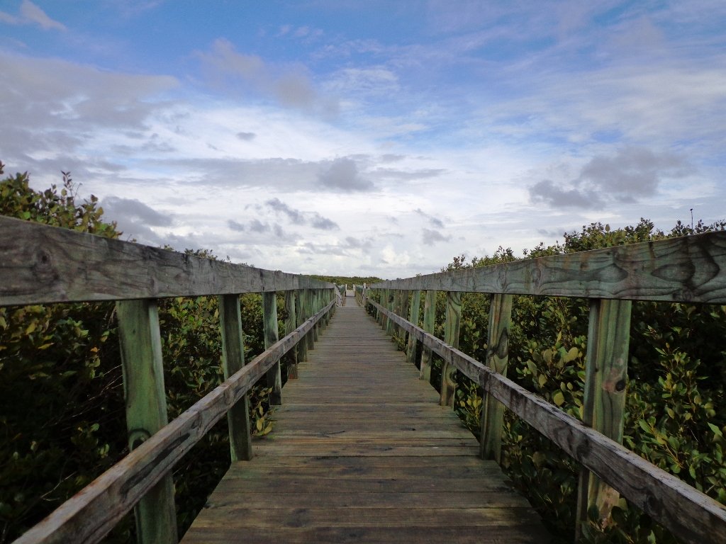
More information: My Auckland: Conifer Grove The boardwalk through the mangroves provides a mini adventure for young children (but do keep an eye on them – one child’s scooter took a flying leap into the mud when we were there; luckily the tide was out!). Suitable for family cycling – Brylee Drive Reserve, Takinini, 6km of shared paths.
Description: Mainly level paths, some steps. Suitable for users of average fitness and mobility. To see: Manukau Harbour views, mangroves, residential homes and gardens Time: approx. 60 minutes. (about 4.55 kms) Start: Walter Strevens Drive, Conifer Grove MAP
Stay on track…get your detailed guide and map (AS-069 Conifer Grove Circuit) over at our Walks Store and our Book Store (one of 12 walks featured in our books “Coastal part 2” and “Best of the South”).
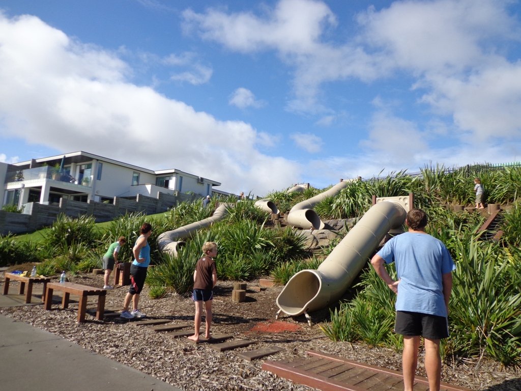
We have now added a fourth loop walk taking in the wonderful Pakuranga Rotary walkway. This 5kms loop walk follows the Tamaki Estuary through Farm Cove and explores the Sunny Hills suburban streets, with views of Mount Wellington and One Tree Hill.
You may wish to cycle the whole 5 kms of the Pakuranga Rotary walkway, or just stop and watch the tide on one of the many seats along the walkway. Families may like to take a fun break on the snakes and ladders playground near the Bramley Drive entrance.
The walking route is also great for prams/buggies and dog walkers (on leash only).
We stopped for coffee at the French inspired deli/cafe Mon Bichon, a delightful surprise in the Farm Cove village shops. You could buy your pastries from here to take and eat beside the walkway…(update: sadly it is no longer there).
Description: Mainly level paths (with one small incline). Suitable for users of average fitness and mobility. Suitable for cycling and push-chairs. To see: Tamaki Estuary, Mangroves, white volcanic pumice deposits, views of Mount Wellington and One Tree Hill, residential homes Time: approx. 60 minutes. (about 5 kms) Start: Fisher Parade, Farm Cove Village MAP
Stay on track…find this walk’s map and directions guide (AE-068 Pakuranga Farm Cove Loop) and other walk self-guides at our Walk Store and our Book Store (“Best of the East”)
Self guided short circular walks in Auckland for health, fitness and fun