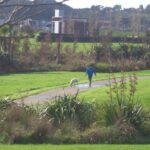
Recently we were asked “please let me know which walks are suitable for my mobility scooter as most seem to have steps”.
As many people already know, Auckland is built on a volcano landscape, hence there are many hills. Most walkways have steps and/or steep inclines and declines which make the paths unsuitable for mobility scooters.
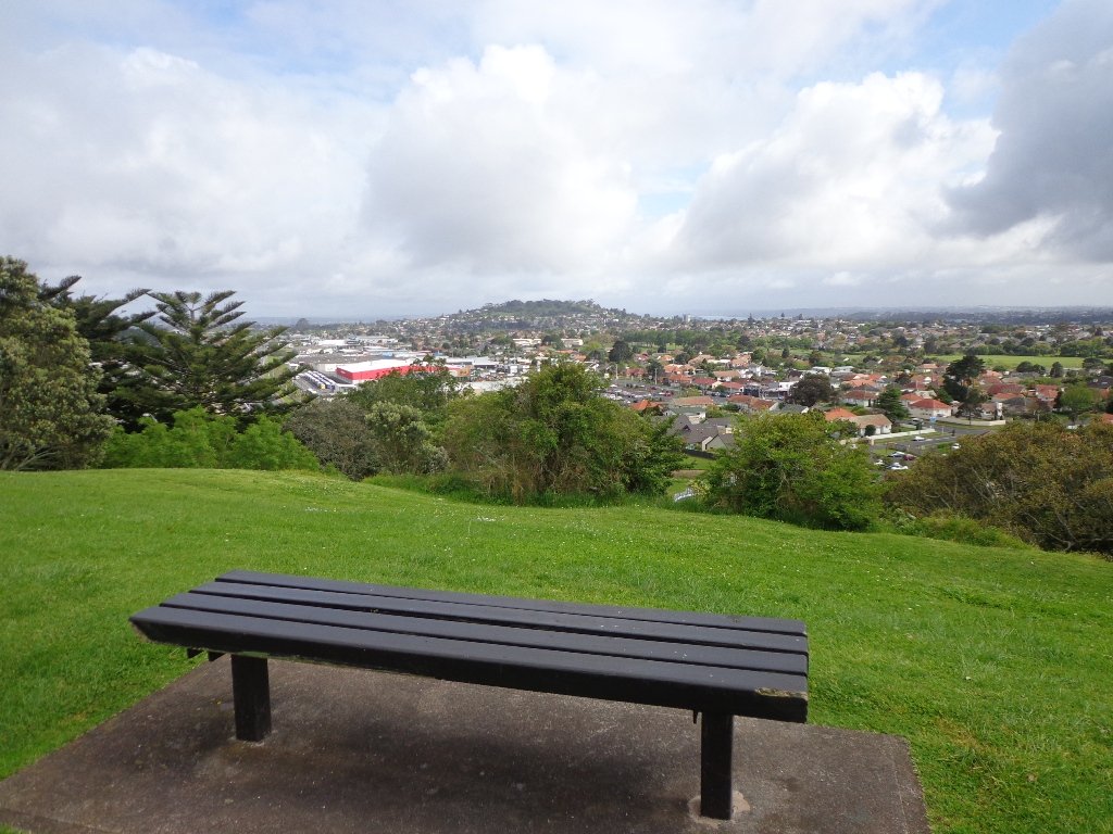
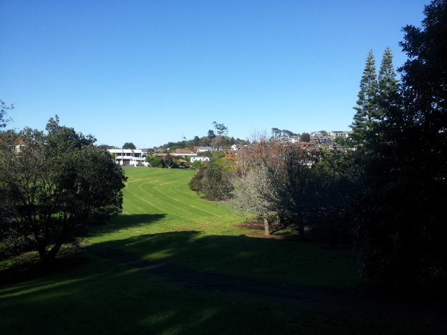
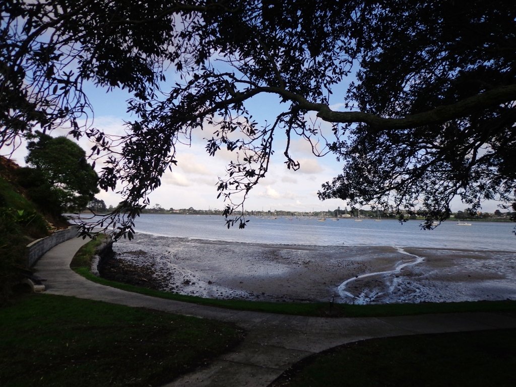
Barry Curtis Park
Western Springs
One Tree Hill
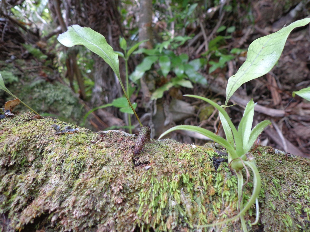
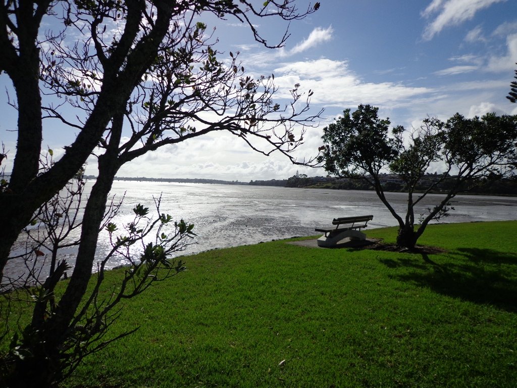
Oratia
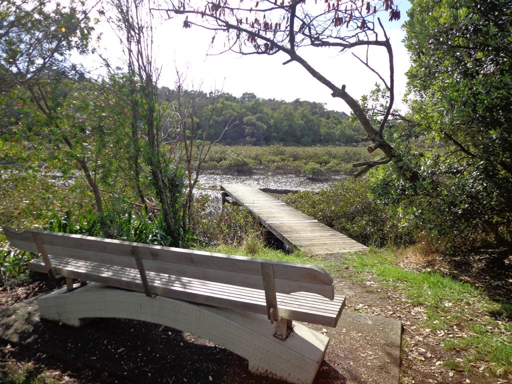
There are very few loop walkways that are flat. We have made a list of possibilities here: Flat walks in Auckland . We cannot guarantee that there are no steps or other hazards for mobility scooters. Hopefully you will have an able bodied friend who is able to scout the route for you beforehand.
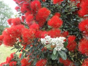
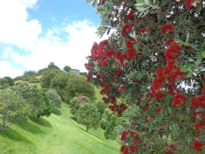
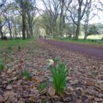
December is a beautiful time of year to get out walking when hopefully the weather starts becoming more stable and before it gets too hot. We are also blessed with the red pohutukawa tree blossoms at this time of year.
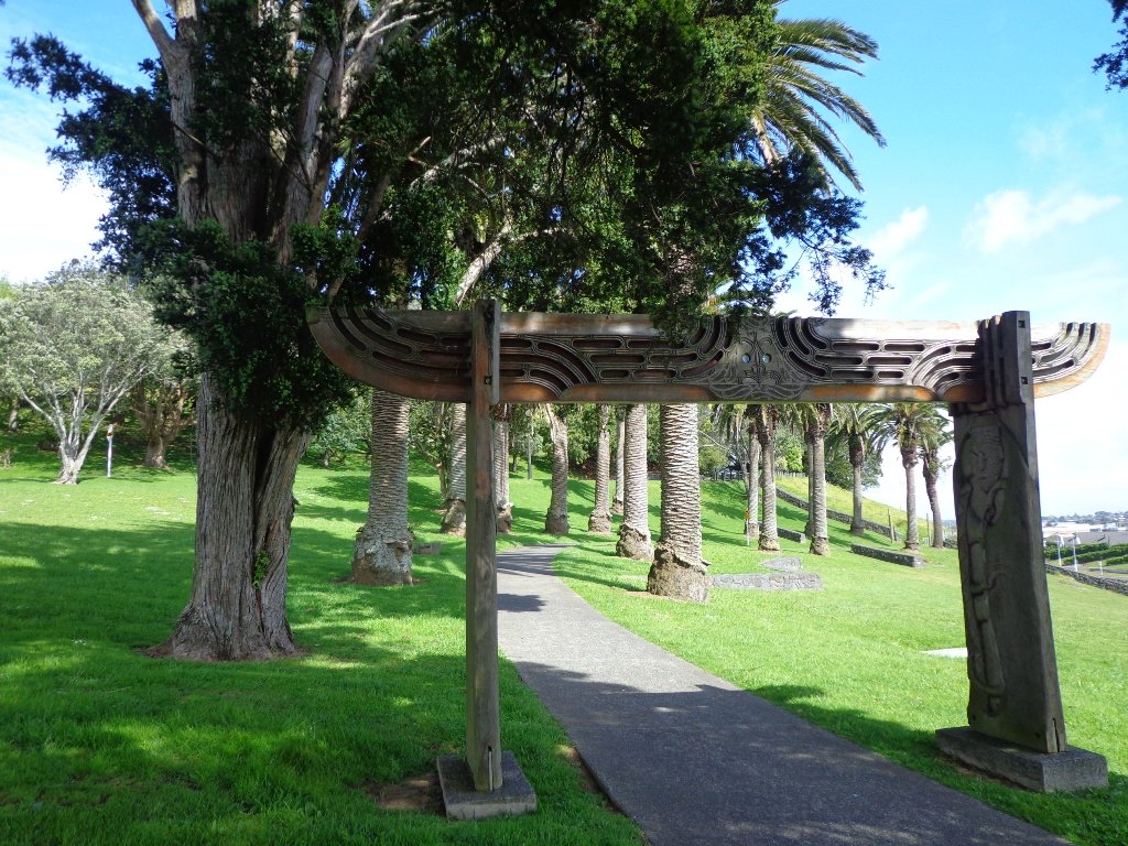
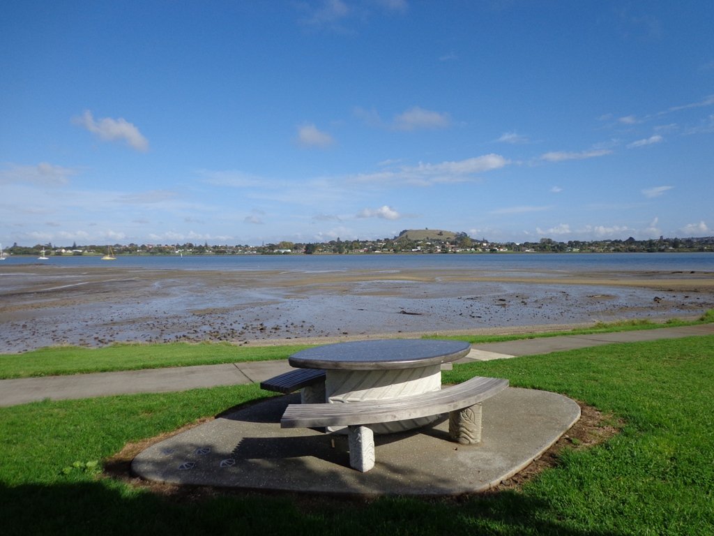
Highland Park
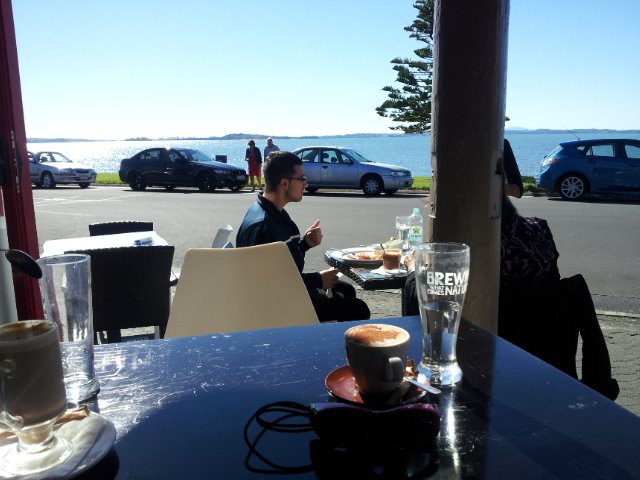
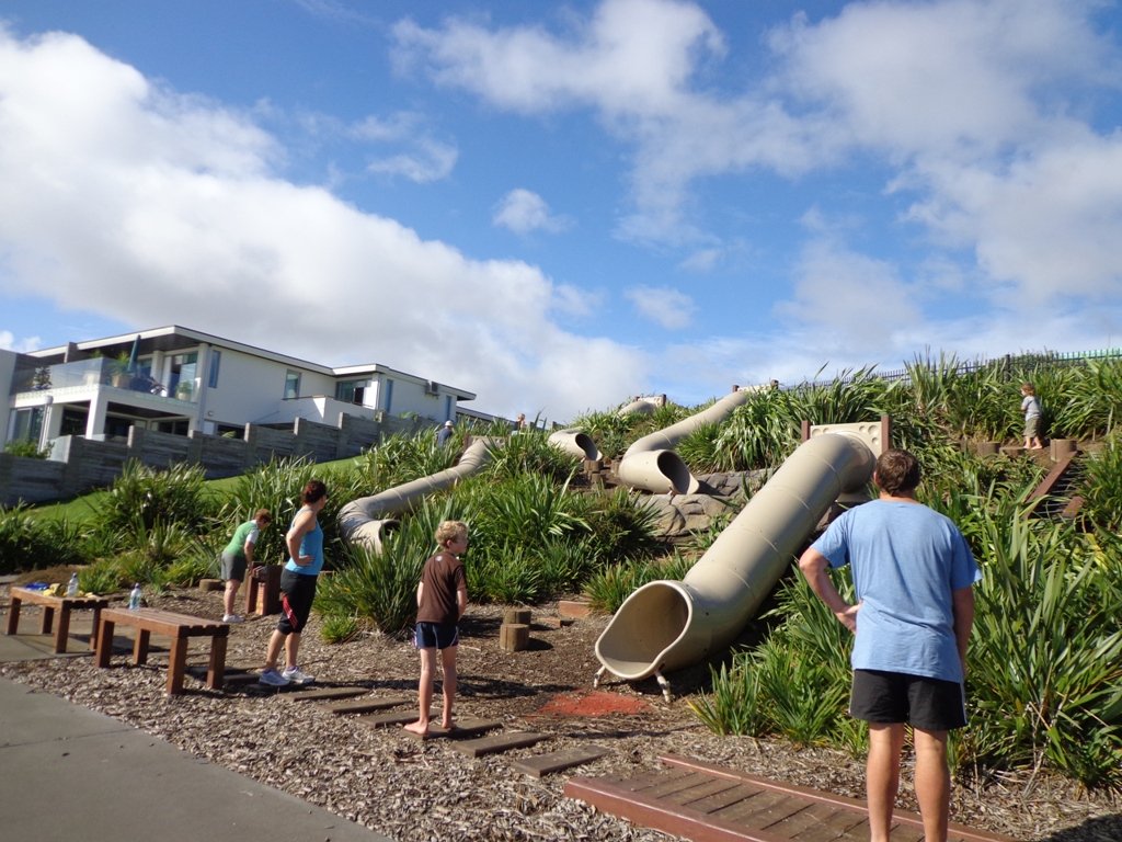
One of our favourite places to head out for a walk from is Mangere Bridge Township. We have documented five walks from this area. The village cafes are a great place to meet walking companions before and/or after a walk. On Sunday mornings there are small markets to buy goodies at. And a little further south, in Kirkbride Road, is a place where you can indulge in fresh strawberry ice-cream while the strawberries are in season. And if you are walking with children, then Ambury Park Farm is always a fun place to visit.
The Mangere Bridge walk circuits vary in length. And you have the option of linking two or more if you are feeling creative and energetic. Take a look at the selection at this link: Mangere Bridge Walks
Other places to enjoy the pohutukawa tree blossom are:
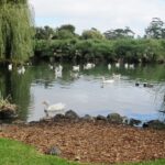
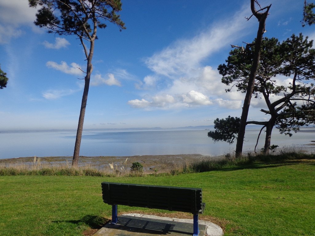
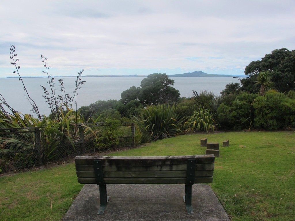
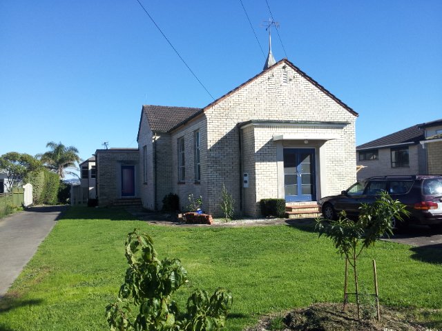
Centennial Park (inland from Campbells Bay on Auckland’s North Shore) is a very large reserve that contains a regenerating native forest. There are 8 named tracks (Walking Bus, Aberdeen, Mamaku, Kohekohe, Bayliss, Bayliss, Tui and Magnolia) and it pays to have a map with you so that you have an idea as to where you are. There is a nature trail with numbered plants and trees if you are inclined to learn about the bush. We learnt that “Mamaku” is a tall edible tree fern also known as a black tree fern. (You can download an Auckland Council map and brochure here to plan your own route.)
There is a picnic area near the car park. The nearest children’s playground and public toilets are at Kennedy Park (Castor Bay). And the nearest cafe is Little Salt (82 Beach Road).
Description: Bush tracks, some smooth, some rough. Suitable for most ages and levels of fitness and mobility, designed with flat shoes or running shoes in mind. Not suitable for pushchairs. To see: Nature Trail, stream and regenerating bush. Time: approx. 60 minutes (about 4.0 kms). Parking: Avenue of Remembrance, off Beach Road, Campbells Bay. MAP
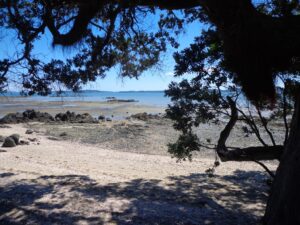
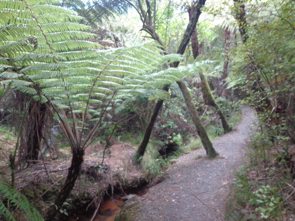
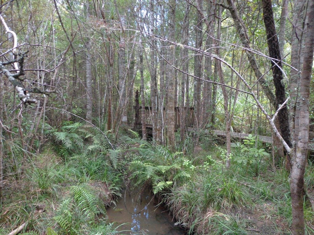
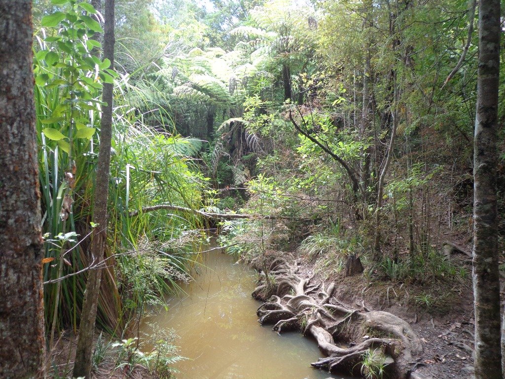
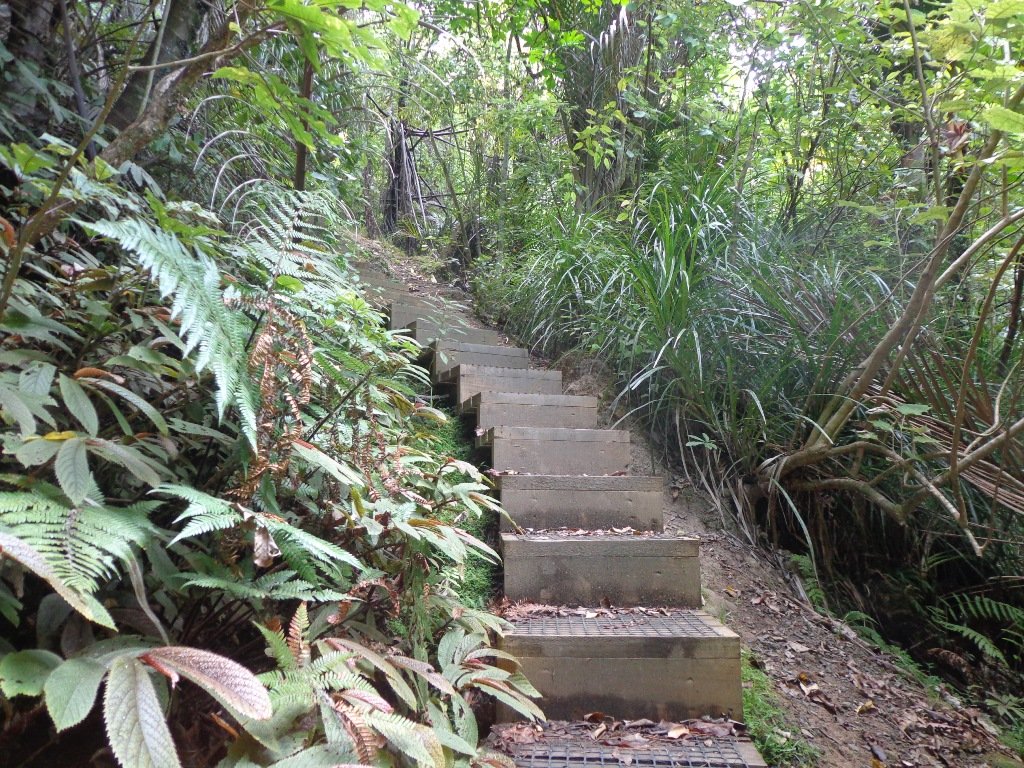
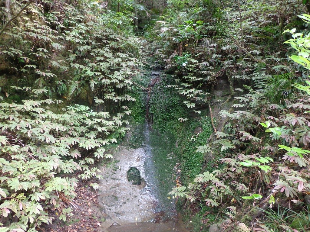
This walk begins near the ridge village of Titirangi and follows the path down through Atkinson Park to Titirangi Beach and French Bay.
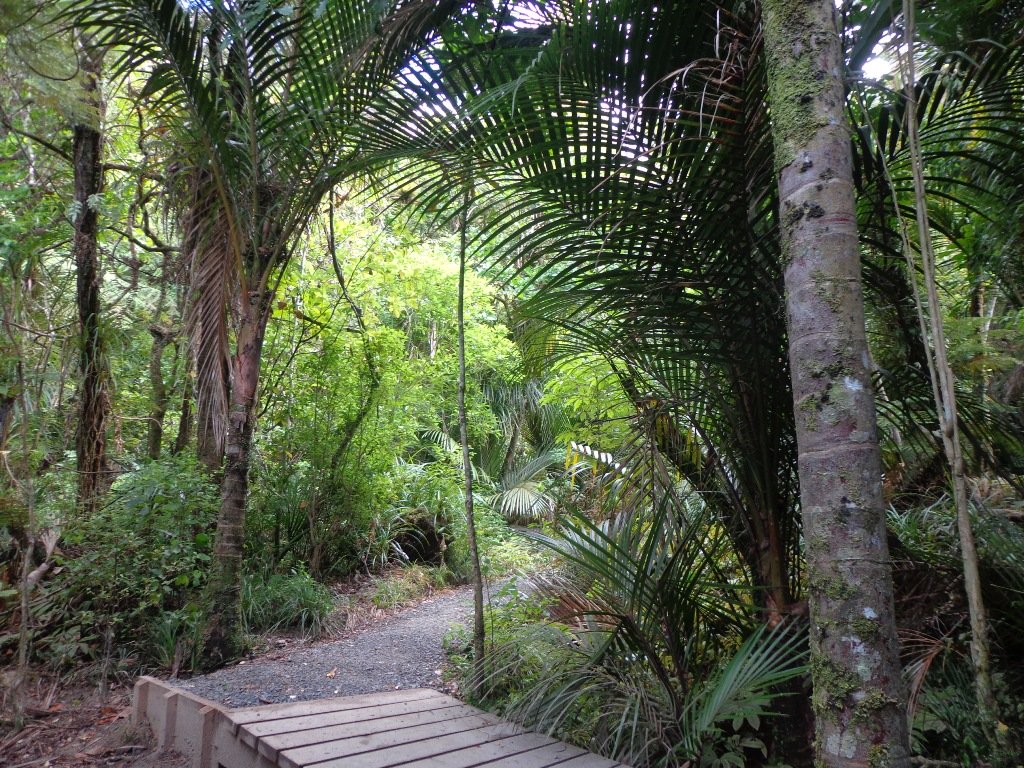
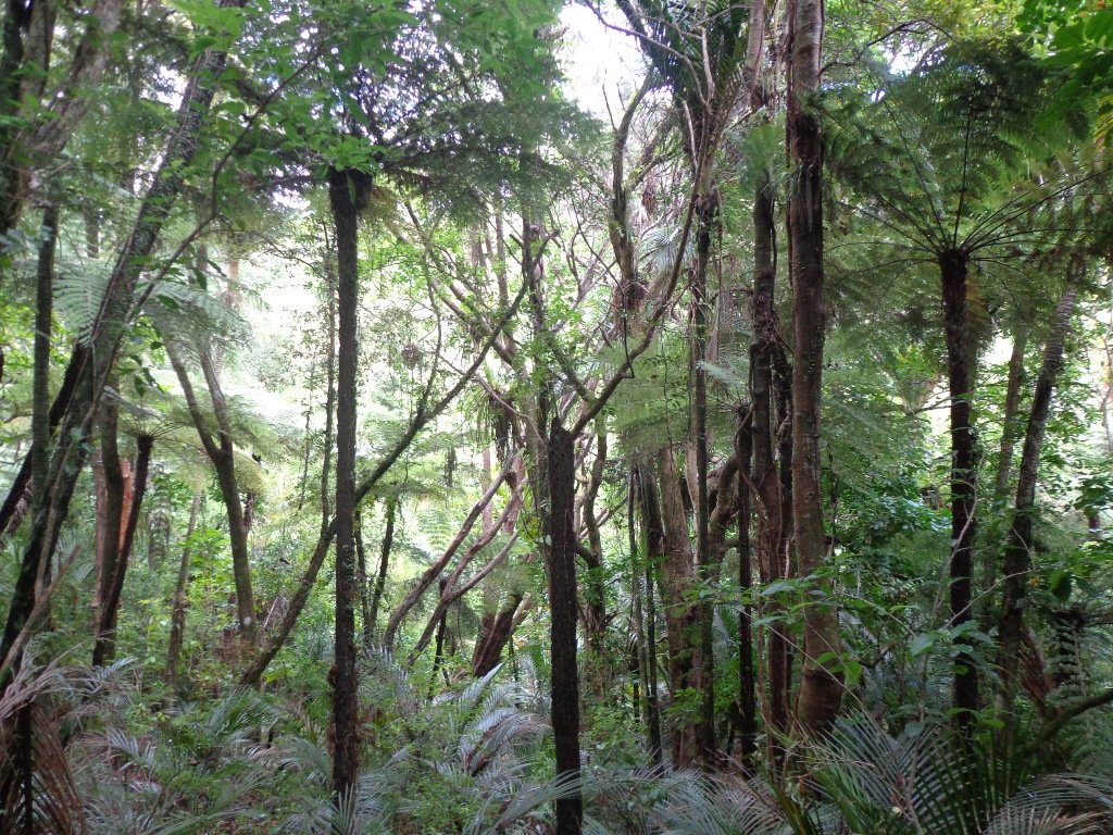
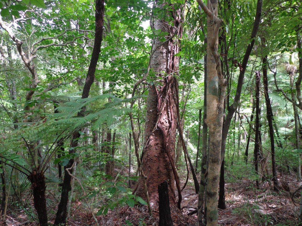
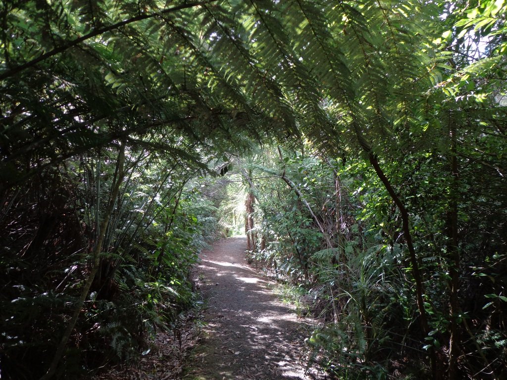
Much of the walk is through regenerating native bush with the occasional tall old tree, totara and kauri, to look up at in awe, as well as groves of young kauri. You will pass by a small waterfall, and today it was very dry.
On a fine day, the beaches on the edge of Manukau Harbour glisten in the sunshine. Take a picnic to have on the grass.
Part of the track is in good condition, and another part would be difficult to navigate in winter. Sturdy shoes are recommended.
Playground and public toilet at Titirangi Beach. Dogs on leash. Stripe Cafe recommended.
Description: Some level paths with many steps and steep inclines. Suitable for most ages and levels of fitness and mobility, designed with sturdy flat shoes or running shoes in mind. Muddy in winter. To see: Native bush, stream, Manukau Harbour beaches. Time: approx.75 minutes (about 6.0 kms). Descent 266m, ascent 257m. Start: Atkinson Park, Park Road (between South Titirangi Road and Titirangi Beach Road). MAP
Waikowhai Park is a large piece of bush land and attractive park land off Hillsborough Road. The view from the car park above the playground has views across Manukau Harbour to Mangere Mountain and Ambury Park Farm.
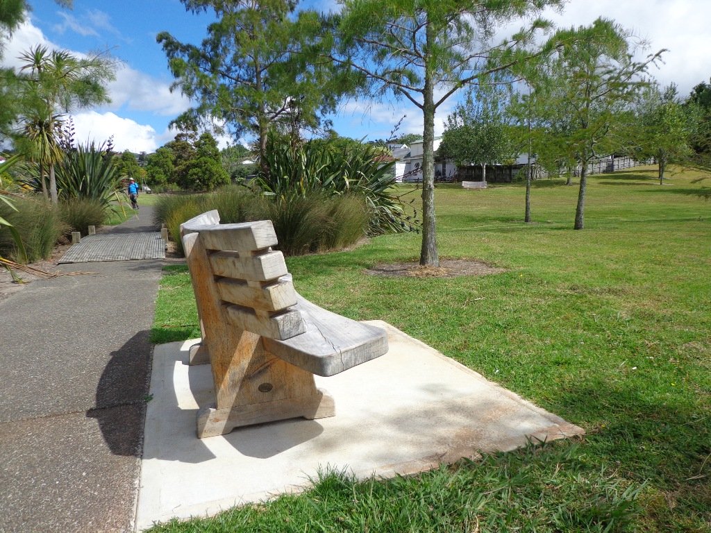
It has a fantastic playground for older children that has an extra long slide and a flying fox. There is also a large off leash dog exercise area. There are public toilets by the playground. It’s a great place for a picnic on a fine day – there are tables by the playground, seats along the undulating bush tracks and plenty of grass in the park land.
We have now completed writing up 36 dog friendly short walks in Auckland in three volumes.
Most of these walks include off leash dog exercise areas. We have a full list of dog friendly walks here: Dog Friendly Walks in Auckland
These three “Dog Friendly Walks” books are now available on Amazon and from your local Auckland library.
“Dog Friendly Walks – part one” . The 12 places we take you: Big King, Newmarket, Meola Reef, Waiaturua Reserve, Blockhouse Bay, Belmont, Northcote, Wattle Downs, Highbrook Park, Churchill Park, Macleans Park, Moire Park.
“Dog Friendly Walks – part two”. The 12 places we take you: Mt Eden, Hobson Bay, Western Park, Heron Park, St Johns, Blockhouse Bay, Le Roys Bush, Bayview Bush, Totara Park, Glover Park, Whau River, Glen Eden.
“Dog Friendly Walks – part three”. The 12 places we take you:Parnell, Hobson Bay, Onehunga, Grey Lynn , Westhaven, Unsworth Reserve , Bayview, Otara, Cascade Walkway , St Johns , Hobsonville Point and Henderson.
These three “Dog Friendly Walks” books are now available on Amazon and from your local Auckland library.
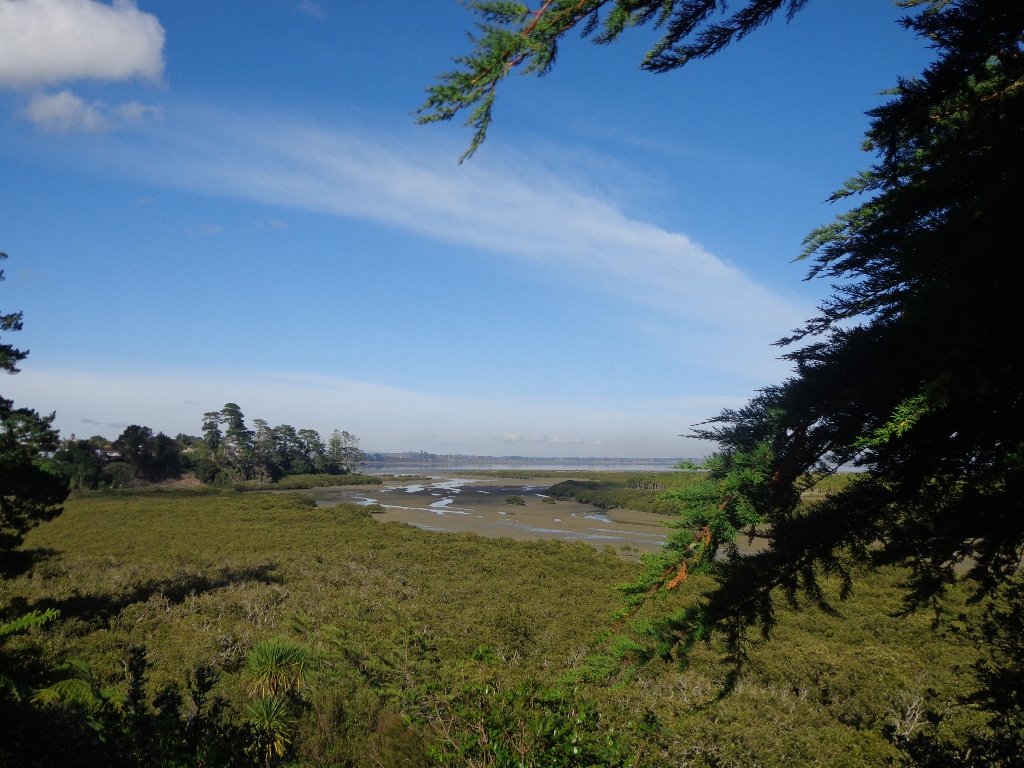
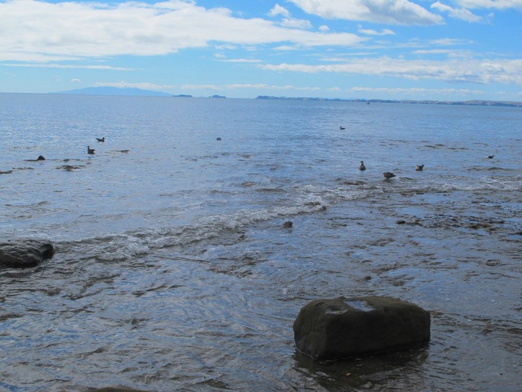
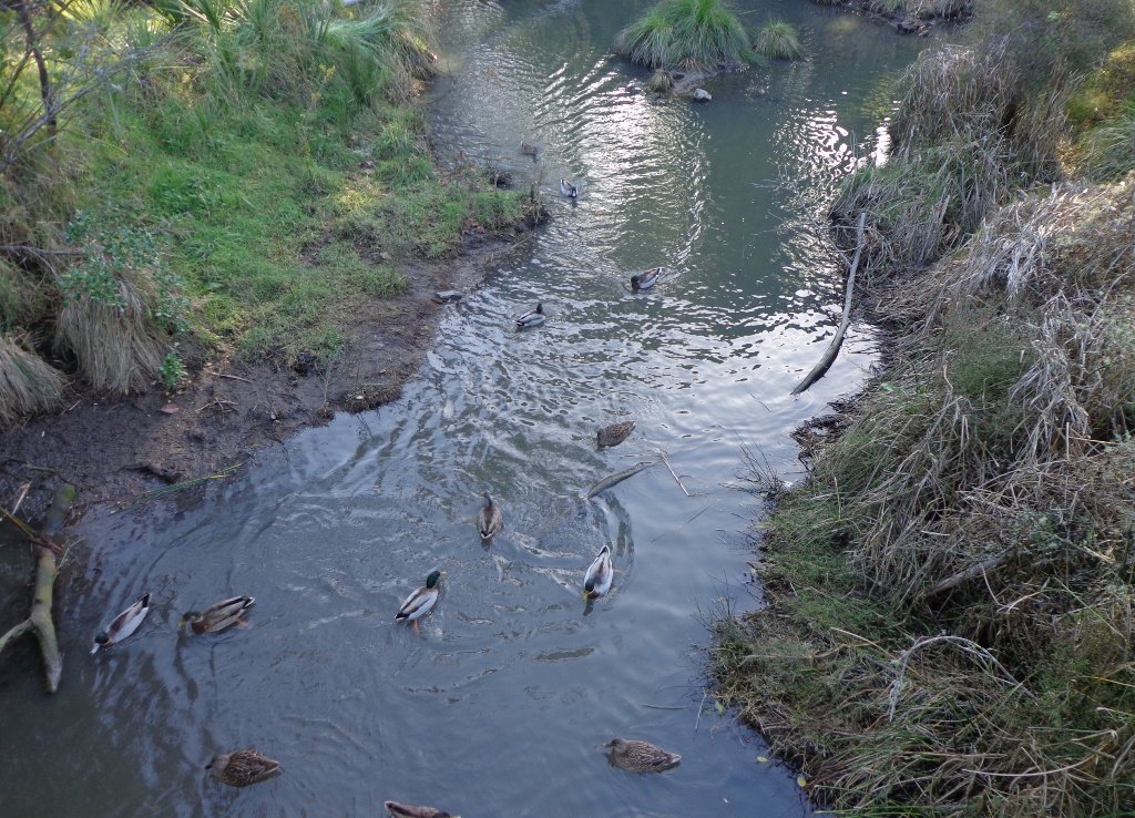
The Weymouth Walkway south of Auckland, is a mainly flat (suitable for wheelchairs and pushchairs), concrete paved path that follows the coastline of Manukau Harbour and the Puhinui Creek mangrove forest inlet. At low tide you may be lucky to see the shore birds while you explore the exposed rock pools. The views at high tide on a fine day are spectacular – look west to see Manukau Heads, north to Matukutūruru (Wiri Mountain) and south to Kingseat.
There are reserves and playgrounds adjacent to the walkway that lend themselves to picnics and places to stop to breath in the beauty. The walking route is also great for cyclists, prams/buggies.
We looked for signs for dog walkers but saw nothing to indicate on or off leash areas. However, in the “Our Auckland May 2014” publication page 18, it states: “Dogs must be kept under control and away from local wildlife, and are not permitted on adjacent sports fields or near playgrounds.” Please check with Auckland Council for the current dog rules.
Description: Mostly level paths. Suitable for most ages and levels of fitness and mobility, designed with flat shoes or running shoes in mind. Suitable for pushchairs. To see: Manukau Harbour coastal views, shorebirds, mangrove forest, historical sites. Time: approx. 90 minutes (about 7.5kms). Plus exploring time. Start: Hanford Place, Clendon. MAP
Stay on track…find this walk’s map and directions guide (AS-101 Weymouth Walkway Loop) and other walk self-guides at our Walk Store and from our Book Store: one of 12 walks in our book “Best of the South”.
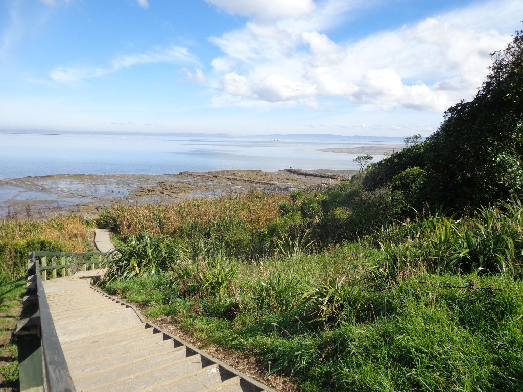
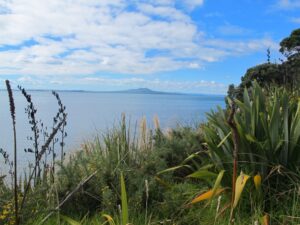
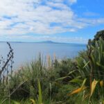
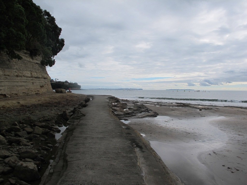
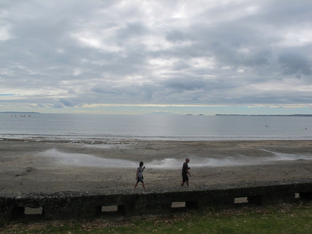
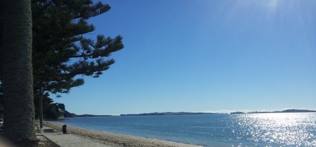
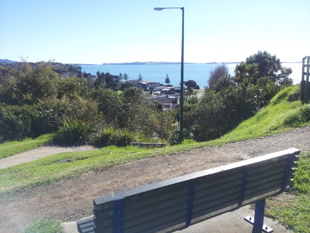
The clifftop and beach loop walks starting at Campbells Bay and taking in Mairangi Bay, and Murrays Bay and part of Rothesay Bay on Auckland’s North Shore provide stunning views over the Hauraki Gulf and Islands.
The beach walkway is dependent on weather and tides (check tides here).
Today the beach at Maurangi Bay was busy with sailors, surf lifesavers, swimmers and paddle boarders.
People were out walking their dogs – and the dogs looked very happy racing around off the leash along the cliff paths. Be sure to check out the Auckland Council dog rules for the North Shore beaches here.
Dogs are allowed under control off-leash at any time at Churchill Reserve Beach (Rothesay Bay).
The walkways do have steps so a good level of fitness is needed.
Description: Mostly level paths with some steps and one steep climb. Suitable for most ages and levels of fitness and mobility, designed with flat shoes or running shoes in mind. Not suitable for pushchairs. Not recommended at high tide. To see: Coastal views. Time: approx. 80 minutes (about 6.65 kms). Parking: View Road, Campbells Bay. MAP
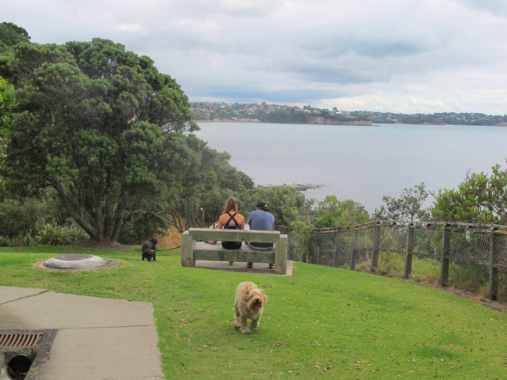
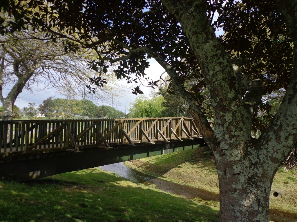
The Totaravale Reserves loop walk loosely follows a route documented by Margaret Scrymgeour from her booklet “Explore the Shore”. This walk on Auckland’s North Shore starts out in Rewi Reserve, then climbs up to the ridge of Sunset Road for a view over the rooftops of Auckland City and heads back down again to bush tracks, streams, and ponds in Unsworth Reserve and passes three playgrounds.
Dogs – off leash areas along route.
Description: Mostly level paths with some small flights of steps and one steep path. Suitable for most ages and levels of fitness and mobility, designed with flat shoes or running shoes in mind. To see: Wetlands, parks, stream, pond, native bush. Time: approx. 60 minutes (about 5.0 kms). Start: Corner of Trias Road and Athena Drive. MAP
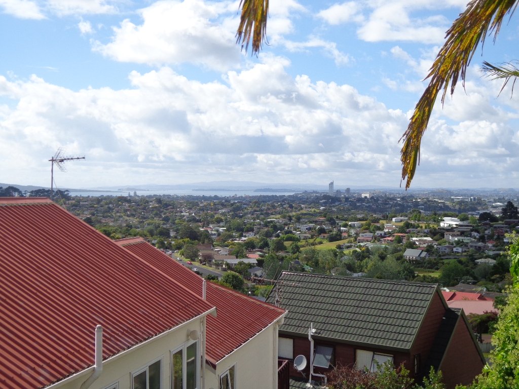
We had overlooked Mt Roskill as a place to walk and explore… until today. The volcano double cone and twin craters of Mt Roskill have been destroyed through the installation of a water reservoir, but from the top it is easy to view Mt Albert, Mt Eden, Big King and One Tree Hill.
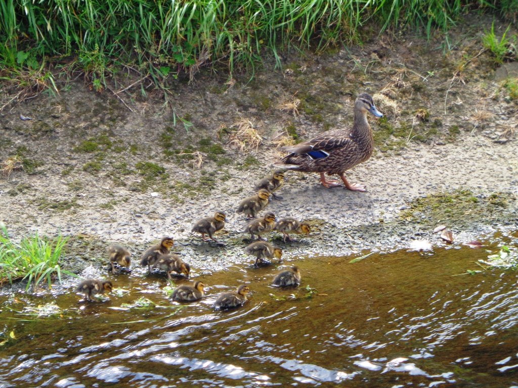
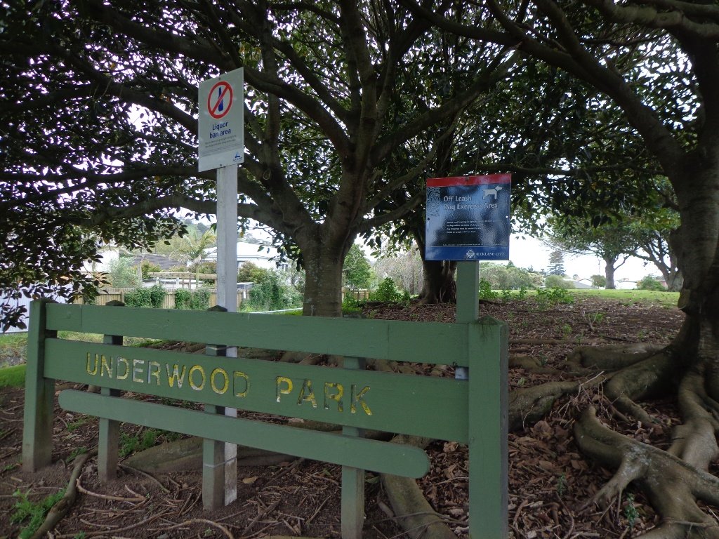
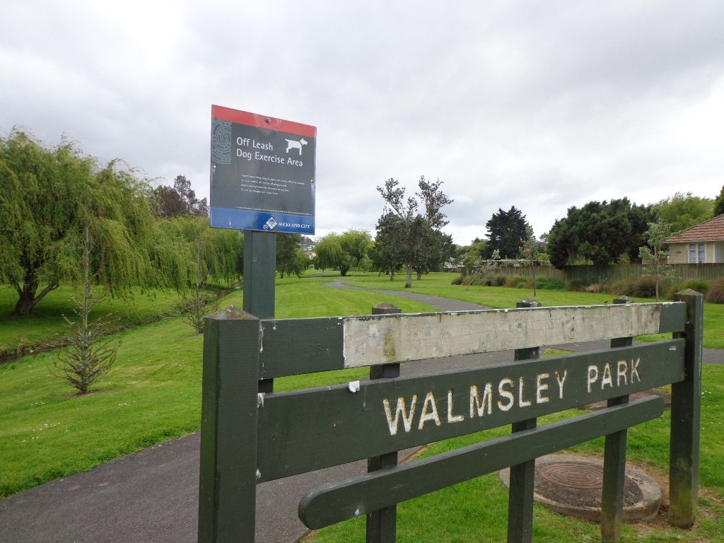
Our flat walk (if you choose not to walk up to the summit of Mt Roskill) links up three reserves – War Memorial Park, Walmsley Park and Underwood Park. Take some bread to feed the ducks in Oakley Creek. The final part of the walk is at the colourful shops of Stoddard Road.
The walking route is also great for cyclists, prams/buggies and dog walkers (on leash and off leash dog exercise areas in Walmsley Park and Underwood Park.).
We stopped for a very good coffee at an almost hidden Ethiopean cafe in the Tulja Centre called Cafe Abyssinia.
9th December 2013 – a new cafe has opened at 740 Sandringham Road Extension. Give your support to a community project – the Roskill Coffee Project.
Please note: An upgrade of Oakley Creek storm-water project has been proposed by the Local Board. If it goes ahead, there will be some disruption along this route within Walmsley and Underwood Parks from 2016. Read about it here.
Description: Mostly level paths, steep paths ascent to summit of Mt Roskill. Suitable for most ages and levels of fitness and mobility, designed with flat shoes or running shoes in mind. Suitable for wheelchairs and pushchairs if Mt Roskill summit is avoided.
To see: Views of Auckland City skyline, Mt Albert, Mt Eden, Three Kings, One Tree Hill. Oakley Creek and ducks. Time: approx. 90 minutes (about 7.5 kms). Start: Corner of Sandringham Road extension/Stoddard Road. MAP
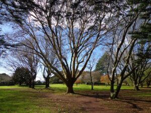
Grab your rain jacket, hat and gloves and head outside to warm up with a winter walk! Even though the weather may not appeal, walking will awaken your senses.
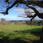
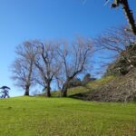
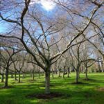
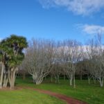
Go tree spotting in Cornwall Park, Mt Eden and Monte Cecilia Park; and enjoy the benefits of taking a walk on a crisp winter day.
Another place to walk in winter and enjoy the trees is Waiata Reserve which you can walk through on theRemerua to Hobson Bay Circuit.
When the deciduous trees have dropped their leaves, more views are revealed, and on those beautiful, clear, dry winter days, the sun is great for warming up our bodies!
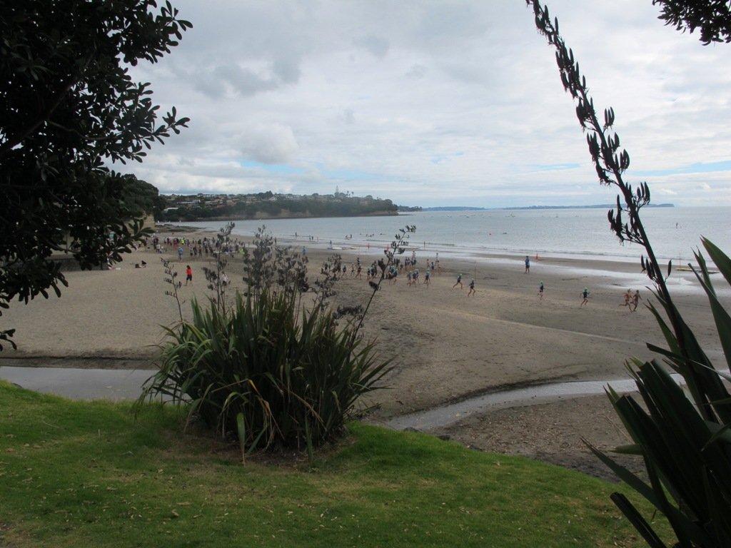
Our walk around Takapuna on Auckland’s North Shore was in warm winter sunshine. It was great to see so many people out walking – some with their dogs off-leash on the beach (check out the Council dog rules), making the most of the day.
We followed a route documented by Margaret Scrymgeour from her booklet “Explore the Shore”. This walk takes in the sandy shore as well as the mangrove filled estuaries. The walk is quite undulating, so gave us a good workout. The views of Rangitoto are stunning, and we also enjoyed the view to Auckland City, Mount Eden and the Harbour Bridge.
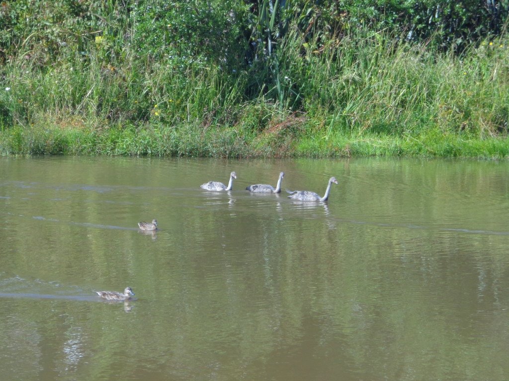
Description: Mix of flat and undulating paths. Suitable for users of average fitness and mobility. To see: Takapuna Beach, Rangitoto, Mangrove, native birds, ducks Time: approx. 90-120 minutes. (about 8 kms) Start: Takapuna Boat Ramp, The Promenade MAP
Stay on track…get your detailed guide and map (AN-075 Takapuna Explorer) over at our Walks Store and our Book Store (one of 12 walks featured in our book “Coastal part 2”).
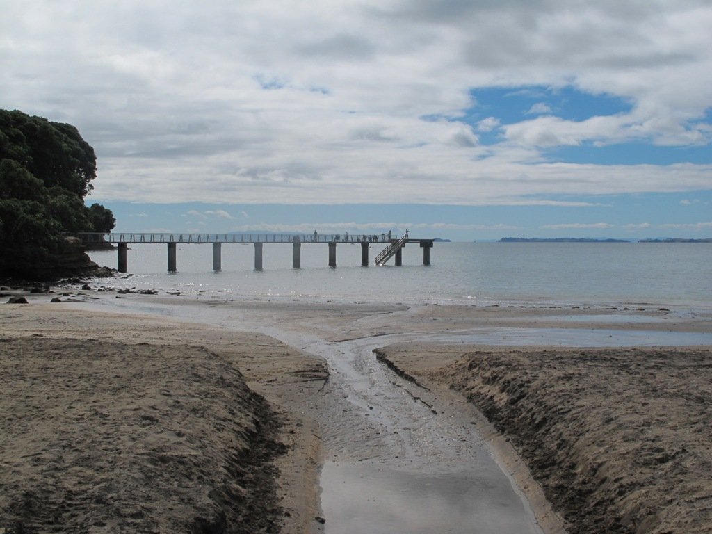
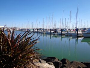
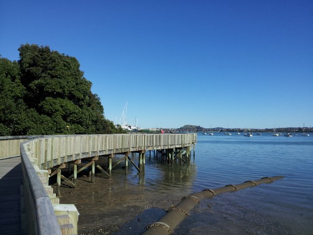
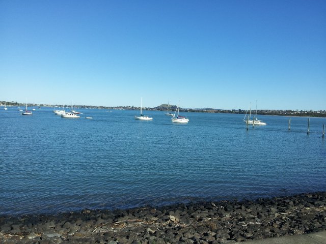
This walk at Half Moon Bay explores the parks and reserves to the east, and then heads down to Eastern Beach. On a sunny day at high tide it is quite beautiful! The new-ish boardwalk, is a great finishing touch as you return to Half Moon Bay.
It was very busy at the Half Moon Bay cafes today – with many people out making the most of the sunny, warm weather and Mothers Day.
Description: Mainly level paths, steep steps and steep slopes. Suitable for users of average fitness and mobility. To see: Views of Tamaki Estuary, marina, Eastern Beach Esplanade; views of Rangitoto, Mount Wellington and One Tree Hill Time: approx. 75 minutes. (about 6.0 kms) Start from: Half Moon Bay Marina MAP
Stay on track…get your detailed guide and map (AE-072 Half Moon Bay East) over at our Walks Store and our Book Store (one of 12 walks featured in our books “Coastal part 2” and “Best of the East”).
We have now added a fourth loop walk taking in the wonderful Pakuranga Rotary walkway. This 5kms loop walk follows the Tamaki Estuary through Farm Cove and explores the Sunny Hills suburban streets, with views of Mount Wellington and One Tree Hill.
You may wish to cycle the whole 5 kms of the Pakuranga Rotary walkway, or just stop and watch the tide on one of the many seats along the walkway. Families may like to take a fun break on the snakes and ladders playground near the Bramley Drive entrance.
The walking route is also great for prams/buggies and dog walkers (on leash only).
We stopped for coffee at the French inspired deli/cafe Mon Bichon, a delightful surprise in the Farm Cove village shops. You could buy your pastries from here to take and eat beside the walkway…(update: sadly it is no longer there).
Description: Mainly level paths (with one small incline). Suitable for users of average fitness and mobility. Suitable for cycling and push-chairs. To see: Tamaki Estuary, Mangroves, white volcanic pumice deposits, views of Mount Wellington and One Tree Hill, residential homes Time: approx. 60 minutes. (about 5 kms) Start: Fisher Parade, Farm Cove Village MAP
Stay on track…find this walk’s map and directions guide (AE-068 Pakuranga Farm Cove Loop) and other walk self-guides at our Walk Store and our Book Store (“Best of the East”)
Stage Four of the University of Aucklandshort walks project, with five walking circuits starting and ending from the Tamaki campus in Morrin Road.
If you would like free copies of these PDF brochures, please leave your request in the comment box below.
Stay on track…get other detailed guides with maps from our Walks Store
Point England Loop
This walk takes you through Glen Innes and Maybury Reserve (and its rows of feijoa trees) to the edge of Point England Reserve returning through a character-filled Glen Innes residential street.
Time: approx. 40 minutes. (about 3.75 kms)
Stonefields Loop
This walk winds through Stonefields to Maungarei Springs Wetlands.
Time: approx. 40 minutes. (about 3.6 kms)
Apirana Reserve Loop
This walk takes you off the suburban streets into the countryside and horse paddocks, with views from the top of the hill of Eastern Beach and the Coromandel on a clear day, and Mount Wellington close by.
Time: approx. 45 minutes. (about 4.2 kms)
Eastview Reserve Loop
Refresh and revive amongst the trees in Taniwha and Eastview (mature oak trees) Reserves.
Time: approx. 45 minutes. (about 4.0 kms)
The Goldsbury Track Loops
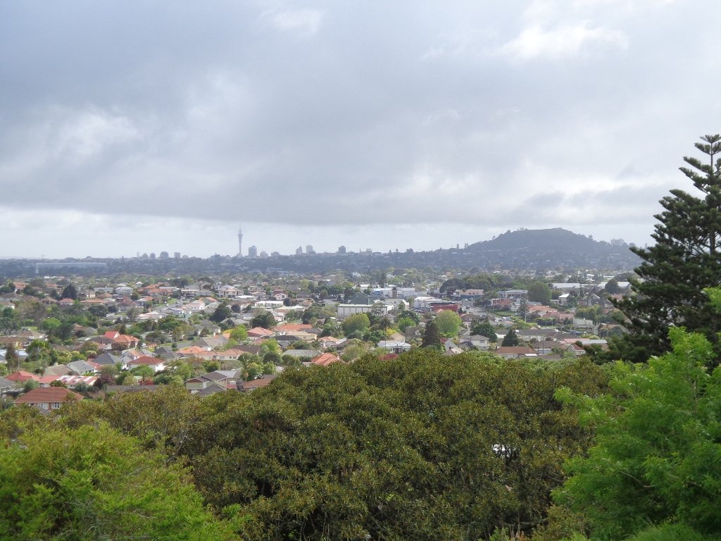
Take in a Reserve before winding through Stonefields to the Gollan Road Pedestrian Trail. Snatch views of Mt Wellington, Mt Eden, Mt St John, Mt Hobson, One Tree Hill and the top of the Sky Tower.
Time: approx. 45 minutes. (about 4.19 kms)
Self guided short circular walks in Auckland for health, fitness and fun


 “
“ “Dog Friendly Walks – part two”
 “
“


 Point England Loop
 Stonefields Loop
 Apirana Reserve Loop
 Eastview Reserve Loop
 The Goldsbury Track Loops