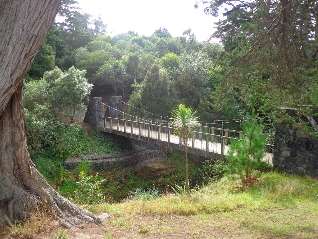
The walk to the Clevedon Reserve lookout, known as the Stairway to Heaven, was suggested to us by some of my wife’s work colleagues and what a great surprise. Large kauri, Kahikatea, Puriri and Puka trees grace the slopes and make for an impressive bush canopy. Plenty of birdlife is enjoyed, as is the view across the Auckland City in the distance and the Hunua Ranges to the East. Adding to the value of this amazing walk is exploring the quaint Clevedon Village.
Continue reading Clevedon Reserve – Stairway to HeavenCategory Archives: Walks in Auckland East
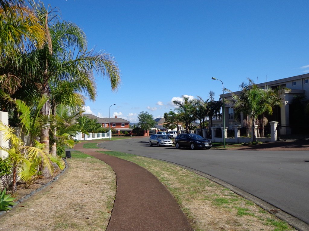
Auckland meets the sea to the east. Here the walks take you to see harbour and estuary views, farmland, beaches, wetland and native bird-life and native trees.
Pigeon Mountain Volcanic Cone
One of Auckland’s less known and visited volcanic cones, Pigeon Mountain (Ōhuiarangi) is worth exploring. This is Auckland’s easternmost volcanic cone and offers fantastic views of the Hauraki Gulf and back across Auckland City. It provides a very unique perspective of Auckland’s geography and at only 55m in height is not a daunting climb.

Hamlins Hill – historic gem
Hamlins Hill (Mutukaroa) Regional Park is a gem in the midst of Auckland City with a rich history and plenty of open space for you to unwind and enjoy. You can enjoy 360 degree views of Auckland city and explore the bush where you almost forget you are in the middle of New Zealand’s largest city. At times you are only 20m from the main Eastern Arterial route, but you feel one hundred miles away!
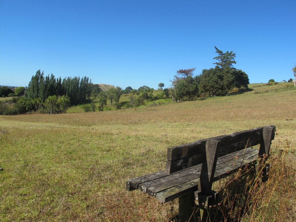
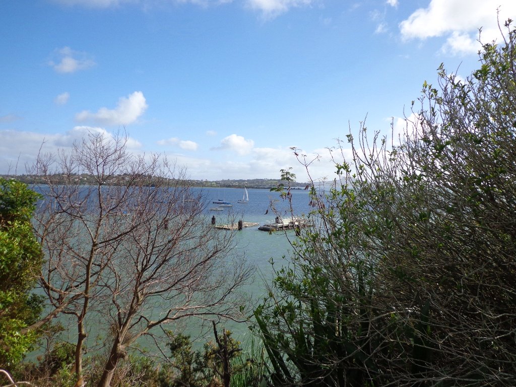
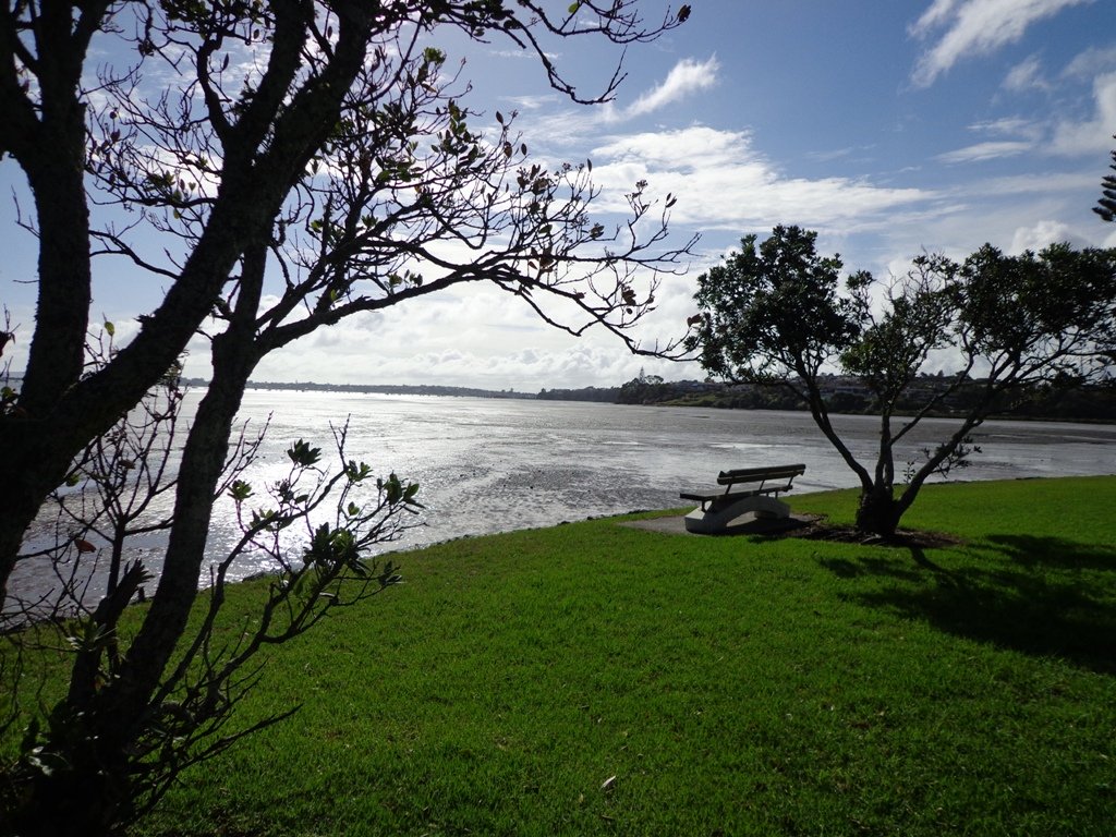
Whitford Beach – turanga creek walk

This stunning walk surprised as we set out to discover an original walkway today. Off the beaten track – quiet and peaceful, a wonderful easy stroll of about 4.6km (return) from Whitford Beach alongside the Turanga Creek estuary. Beautiful water views, huge trees, green pastures and majestic houses grace this walkway.
This track is accessed from the end of Clifton Rd from Whitford Beach.
Continue reading Whitford Beach – turanga creek walk
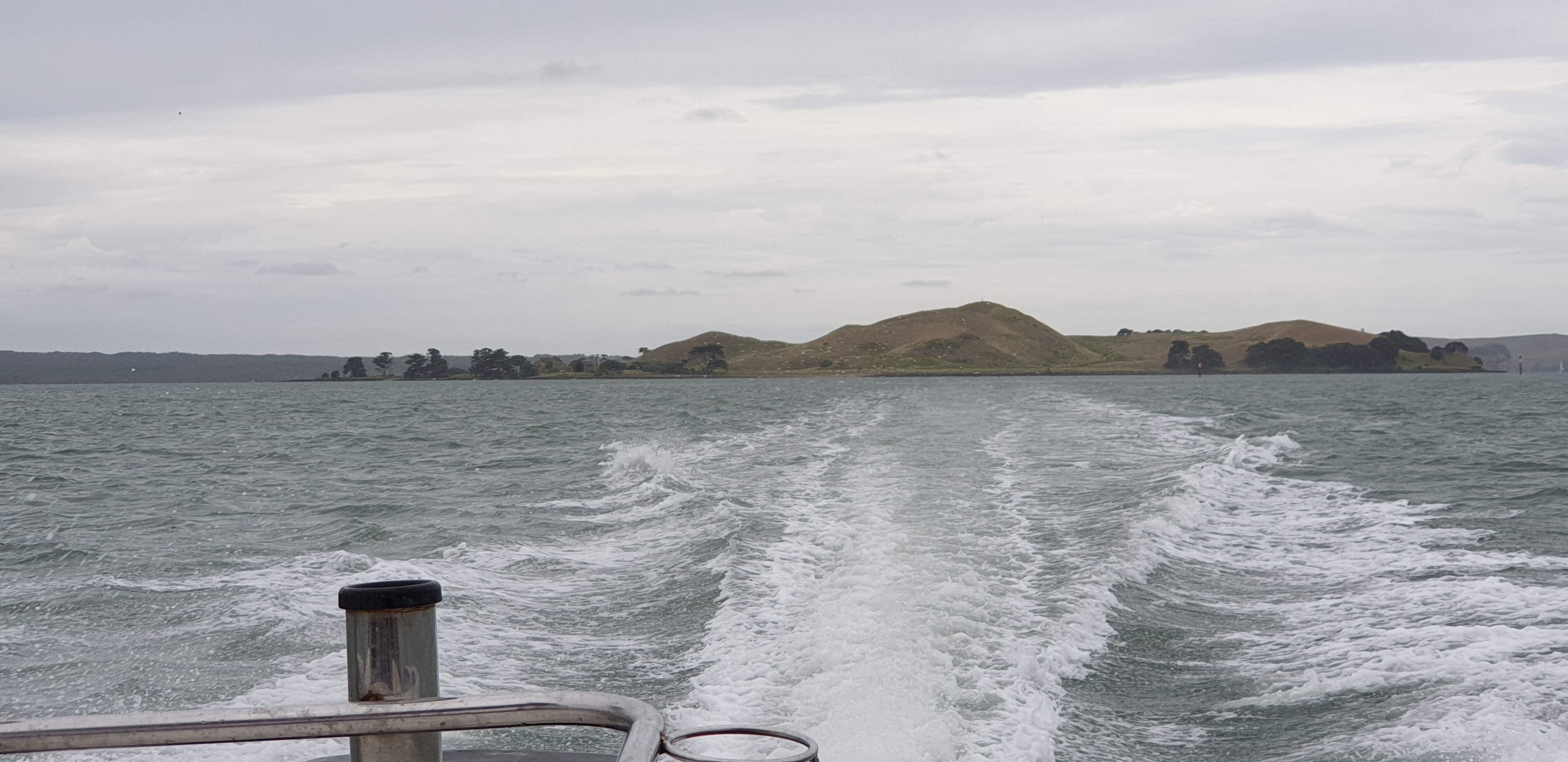
Browns Island auckland

Wow – Browns Island in Auckland Harbour – what a cool little island to visit. Browns Island is a small volcanic island that you can visit for an hour or a full day. Rising to 65m above sea level, the views of Auckland City and the Hauraki Gulf as you climb are superb.
Integrated GPS Map of Browns Island
Find tips on how to use this Google GPS Map
Get there by boat, kayak or paddle board
Browns Island is close to Auckland’s mainland. Launch a boat at Halfmoon Bay or another closeby spot or kayak or
Kayaks and Paddle Boards may want to access via the shallow beach on the southwest side.
What to see and do?
Browns Island Auckland is a fascinating small volcano in the Waitemata Harbour that deserves to be explored. It is mostly grassy paddocks that can be freely walked. Some

- Climb the volcanic cone to the trig to get a great
360 degree view of Auckland and the Gulf. The volcano is also very defined and worth a look! - Walk the circumference of Browns Island
- Visit the shipwreck on the Southwest beach
- Examine the three types of volcanic structures present on Browns Island – the only volcano in Auckland to have all three types.
- Swim at Crater Bay – the water is clear and deep with a nice little beach
- Search for fossils
Walking Difficulty and Suitability
That walking tracks on Browns Island are largely unformed tracks that just wander through the grass. There are stairs ascending from Crater Bay towards the volcanic cone.
The walk to the summit is short but quite steep – suitable for most, except those who are unsteady on their feet. The island is not suitable for buggies, pushchairs or wheelchairs.
This is a fascinating book on Auckland’s 50 volcanoes. Learn about the prominent, obscure and unexpected. Discover locations, history and geology. Great book to add to your Auckland collection.


5 Cool walks in auckland
This weather is looking stunning this Auckland Anniversary Weekend and here are 5 walks we suggest you could try that are both spectacular and nice and cool! Walk these tracks in the shade of some magnificent NZ native bush.
Continue reading 5 Cool walks in aucklandMaraetai Loop Coastal Walk
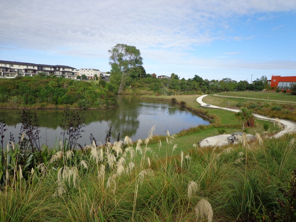
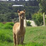
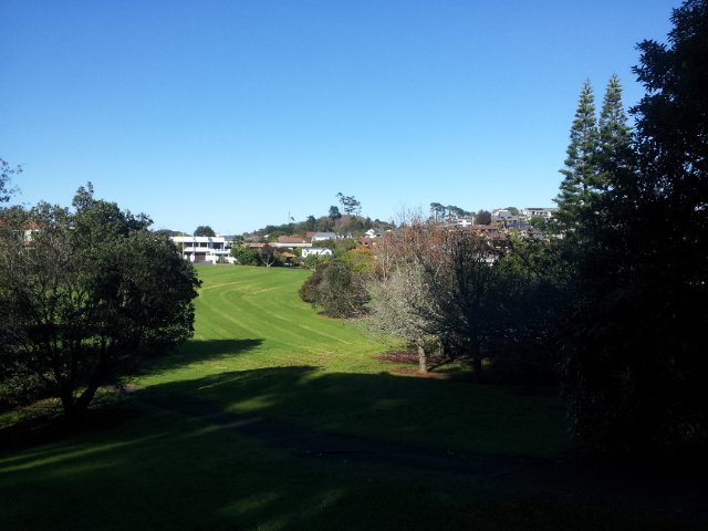
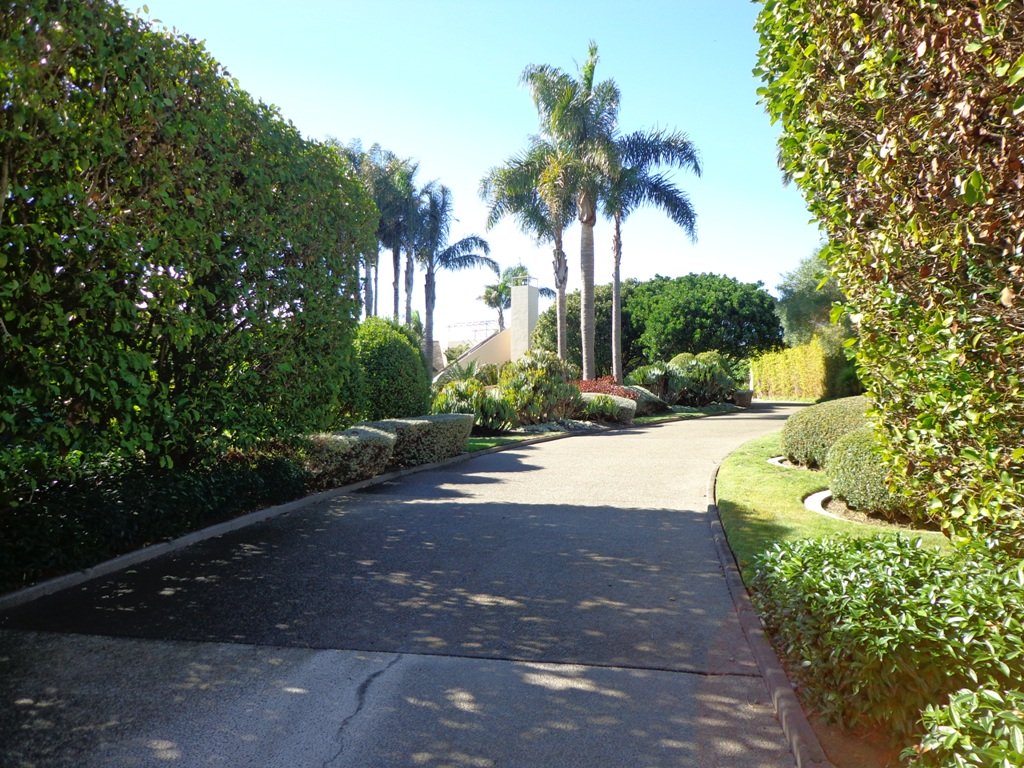
The Maraetai Loop Walk lives up to our criteria for a route that is diverse and interesting. It starts by the boat ramp on the western side of Maraetai Reserve, and follows a rough track beside a stream through the lush bush of Dr. Adah Platts-Mills Reserve (which we suggest may be muddy in winter) before emerging into residential streets. Then it’s down hill to the Omana Regional Park, past the goats (Dixie and Pixie) and then follows the waters edge back to the start.
Continue reading Maraetai Loop Coastal WalkBest walks in Auckland
We don’t really think that there are any best walks in Auckland – they all are great. But to fit each area of Auckland into a handy size book, we did have to choose some of our favourite short walks to share with you, as we could not include them all.
As with all our books, these ones include maps, directions, colour photos plus other bits of information (places of interest, playgrounds, dog off leash exercise areas, cafes, picnic sites). They will help guide you/and your friends and family, as you discover the hidden gems of Auckland.
These “Best walks in Auckland” books will become available from Amazon and your local Auckland library.
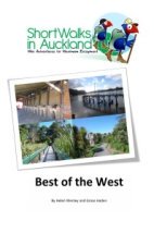 We started with “Best of the West“…
In this edition, we take you on twelve circular short walks that have been selected to give you a good sampling of the diversity of urban West Auckland. Our walks take you from Blockhouse Bay to Henderson, from bush to coast, through reserves and alongside streams, alongside the southern Manukau Harbour and the northern Waitemata Harbour. Available from CreateSpace and Amazon.
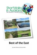 Then we head over to “Best of the East“…
These thirteen urban walks have been chosen to showcase the beauty of East Auckland. Our walks take you from Orakei to Botany; you can enjoy the stunning views of the Waitemata Harbour, the lush native bush, volcano sites and the waterways.
Available from CreateSpace and Amazon
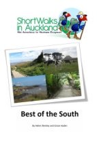 And then onto “Best of the South”.
These twelve urban walks have been chosen to showcase the beauty of South Auckland. We guide you on walks from Mangere Bridge to Papakura. You can enjoy the stunning views of Manukau Harbour, the lush native bush, ancient volcano sites and the secret waterways that make South Auckland unique.
Available from CreateSpace
Botany to Cascades Loop Walk
It continues to amaze us how the distances between places seem shorter when we are out walking compared to driving. This loop walk in Auckland from Botany Town Centre and back via Cascades Road, was one that took us from an unfamiliar area to an area we have walked previously. When we start exploring a new area, we are never sure what we are going to find, and we found today’s walk very pleasant.
We made good use of reserve walkways and the suburban streets. And we had three delightful surprises.
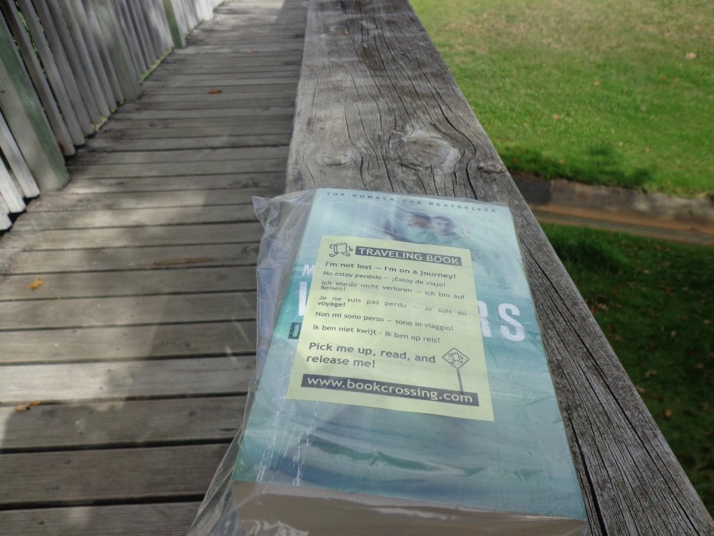
Our first surprise was finding a book – a travelling book (from BookCrossing) left by someone to be picked up, read and released!
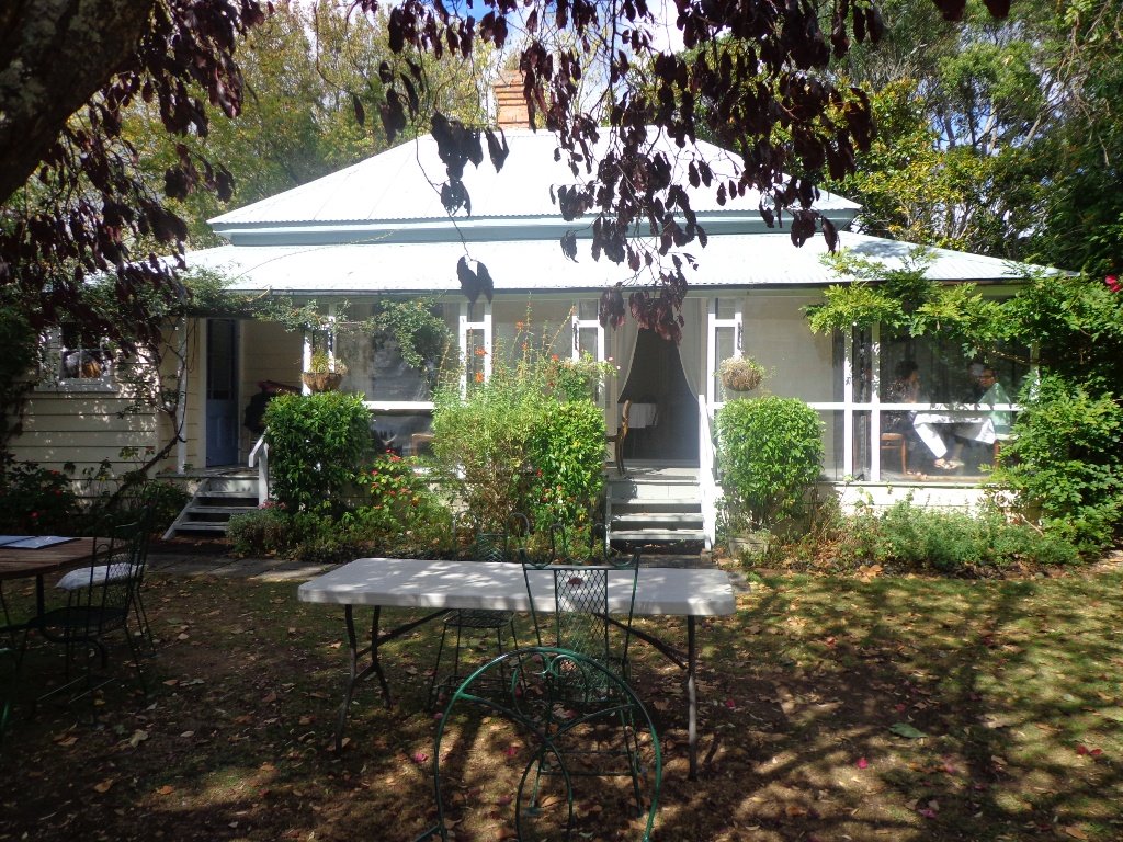
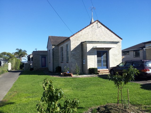
The second surprise was stumbling upon an old farm cottage which has been converted into a cafe that is surrounded by modern suburban housing. The grounds contain a tree that was planted in 1890. A hidden gem with a rural feel right in the middle of an urban wasteland with heaps of character and charm – Hawthorn Dene Historic Country Cafe.

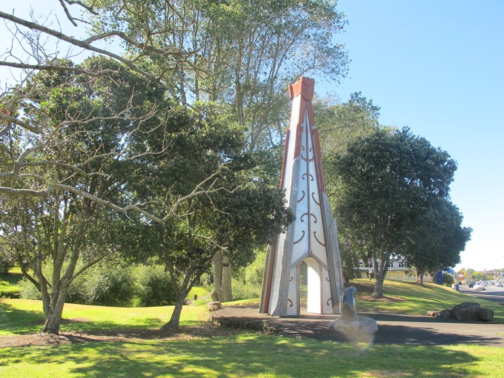
The third surprise was an amazing and wonderful wood carving which you would not know was there if you were travelling by car.
The walking route is also great for cyclists, prams/buggies and dog walkers . Dogs- Off leash exercise areas within reserves and parks.
Description: Mostly level paths. Suitable for most ages and levels of fitness and mobility, designed with flat shoes or running shoes in mind. Suitable for pushchairs.
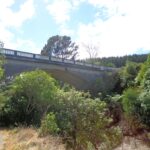
To see: Historical sites, bridges, waterways.
Time: approx. 75 minutes (about 7kms).
Start:The Hub, Ti Rakau Drive, Botany. MAP

Stay on track…find this walk’s map and directions guide (AE-100 Botany to Cascades Loop) and other walk self-guides at our Walk Store and our Book Store (“Best of the East”).

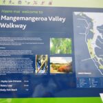
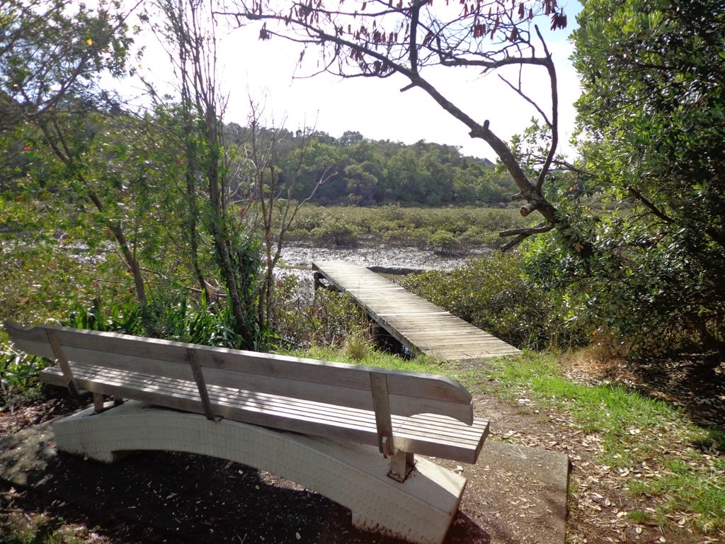
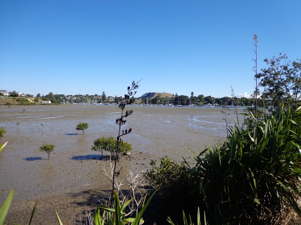
Mangemangeroa Valley Walkway
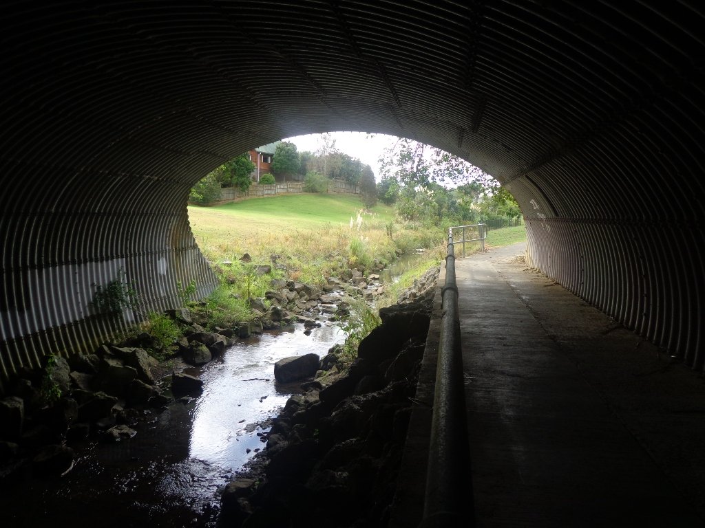
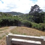
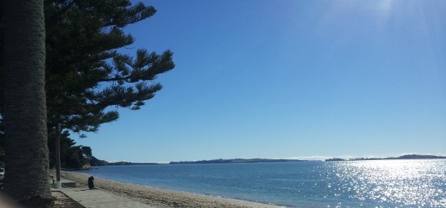
Today we headed south along the Mangemangeroa Valley Walkway – previously we had walked north to Shelly Park Beach. Today started off overcast but the sun came out, and there was a cool breeze. The breeze was very welcome when we were walking uphill in Hayley Lane and at the end of the Rotary Loop.

We started off at the barn in Somerville Road (MAP) and turned right. It was good to see new maps and direction posts have been erected since our last visit, one year ago. A lot of work has also been done with the planting of flax and cabbage trees – where this is done it will be a joy to see the rejuvenation of the native bush. We were pleased to see young kauri trees growing strongly. We walked up the steep hill of Hayley Lane, along Point View Drive, then back down the steep steps to rejoin the path, then followed the next turn left up the steps of the Rotary Loop to return to the start – a length of just over 5kms.
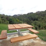
This walkway is very pleasant and perfect for a day walk and picnic, if doing the full length. Get the Auckland Council brochure here.
We drove onto Whitford for refreshments beside the Turanga River at Amy’s Kitchen.

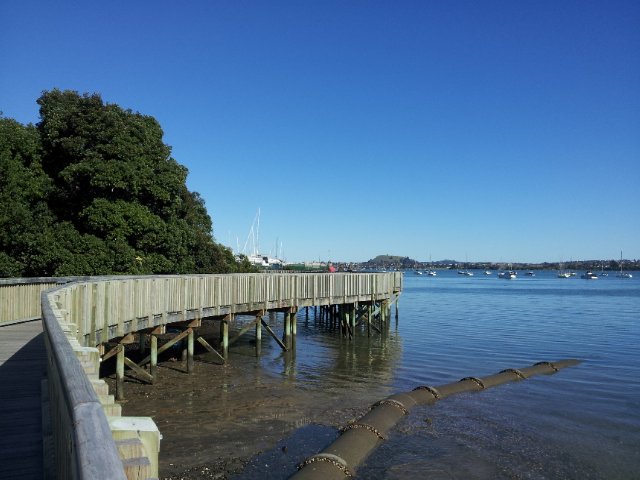
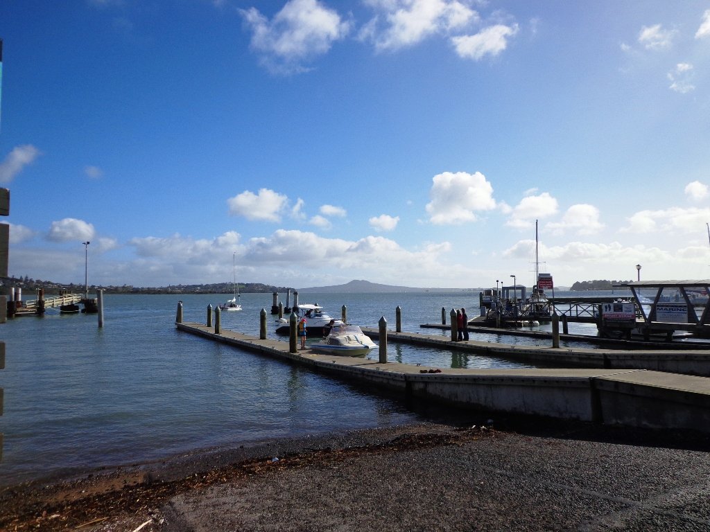
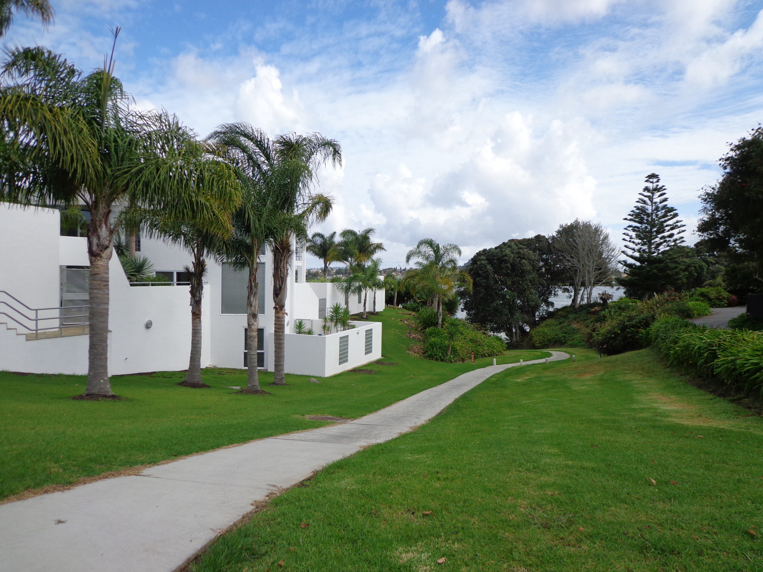
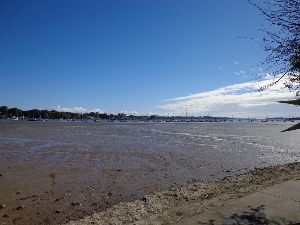
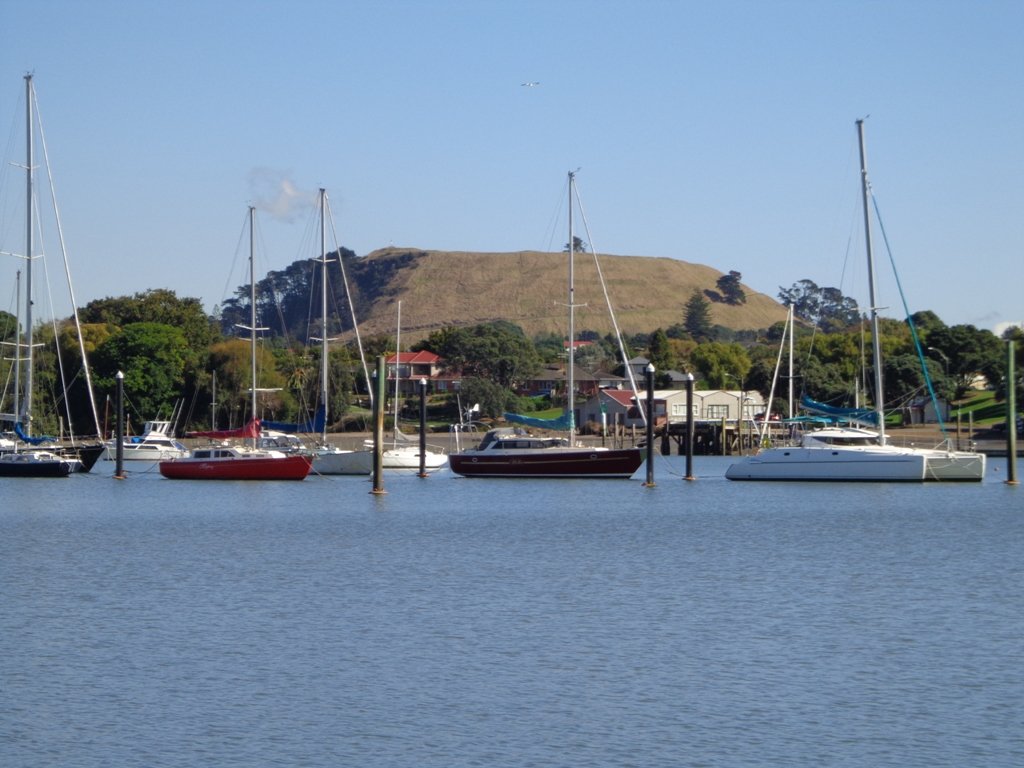
Half Moon Bay East
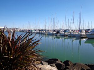
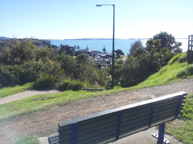
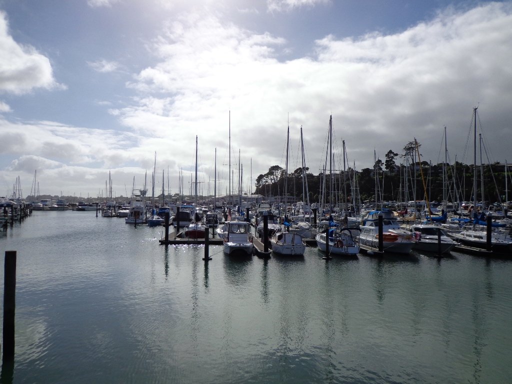
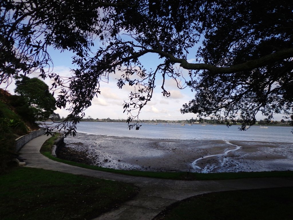
This walk at Half Moon Bay explores the parks and reserves to the east, and then heads down to Eastern Beach. On a sunny day at high tide it is quite beautiful! The new-ish boardwalk, is a great finishing touch as you return to Half Moon Bay.
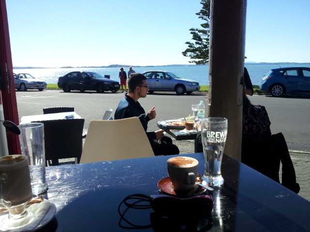
It was very busy at the Half Moon Bay cafes today – with many people out making the most of the sunny, warm weather and Mothers Day.
Description: Mainly level paths, steep steps and steep slopes. Suitable for users of average fitness and mobility.
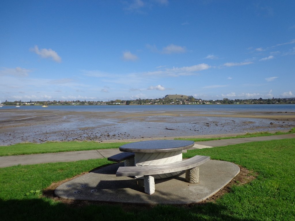
To see: Views of Tamaki Estuary, marina, Eastern Beach Esplanade; views of Rangitoto, Mount Wellington and One Tree Hill
Time: approx. 75 minutes. (about 6.0 kms)
Start from: Half Moon Bay Marina MAP

Stay on track…get your detailed guide and map (AE-072 Half Moon Bay East) over at our Walks Store and our Book Store (one of 12 walks featured in our books “Coastal part 2” and “Best of the East”).

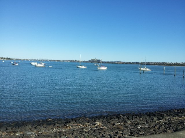
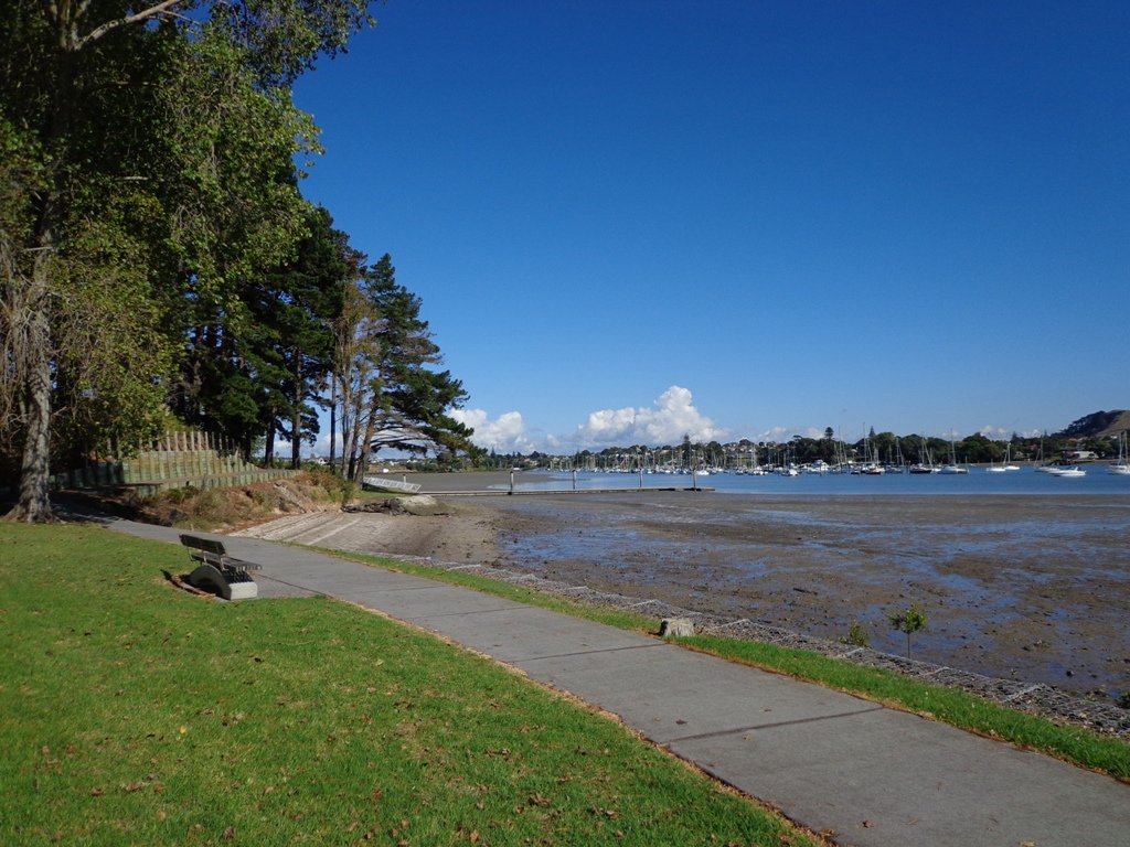
Half Moon Bay West

Half Moon Bay was bathed in sunshine this morning – very welcome after a week of rain. The walk west follows the cliff tops with fantastic views of Point England Reserve, Tahuna Torea, Rangitoto and Mount Wellington.
It’s been a while since we had visited Half Moon Bay; the last time there was a lot of building work going on.
We were prompted by Brett to return – this is his suggestion “A great one to commute to by ferry, go for a walk & check out the cafes, restaurants & bar at Half Moon Bay Marina, even a supermarket now at the marina. Best kept secret, free push bikes available from Grangers Restaurant & Bar!” Thanks for the tip, Brett!
Description: Mainly level paths, some steps and steep slopes. Suitable for users of average fitness and mobility.
To see:Views of Tamaki Estuary, Point England Reserve, Tahuna Torea, Rangitoto, Mt Wellington. Wetlands, Pukeko birds habitat.
Time:approx. 60 minutes. (about 4.7 kms)
Start from: Half Moon Bay Marina off Ara-Tai Road MAP
Stay on track…find this walk’s map and directions guide (AE-070 Half Moon Bay west) and other walk self-guides at our Walk Store
Check it out: the Half Moon Bay ferry service


Pakuranga Farm Cove Loop
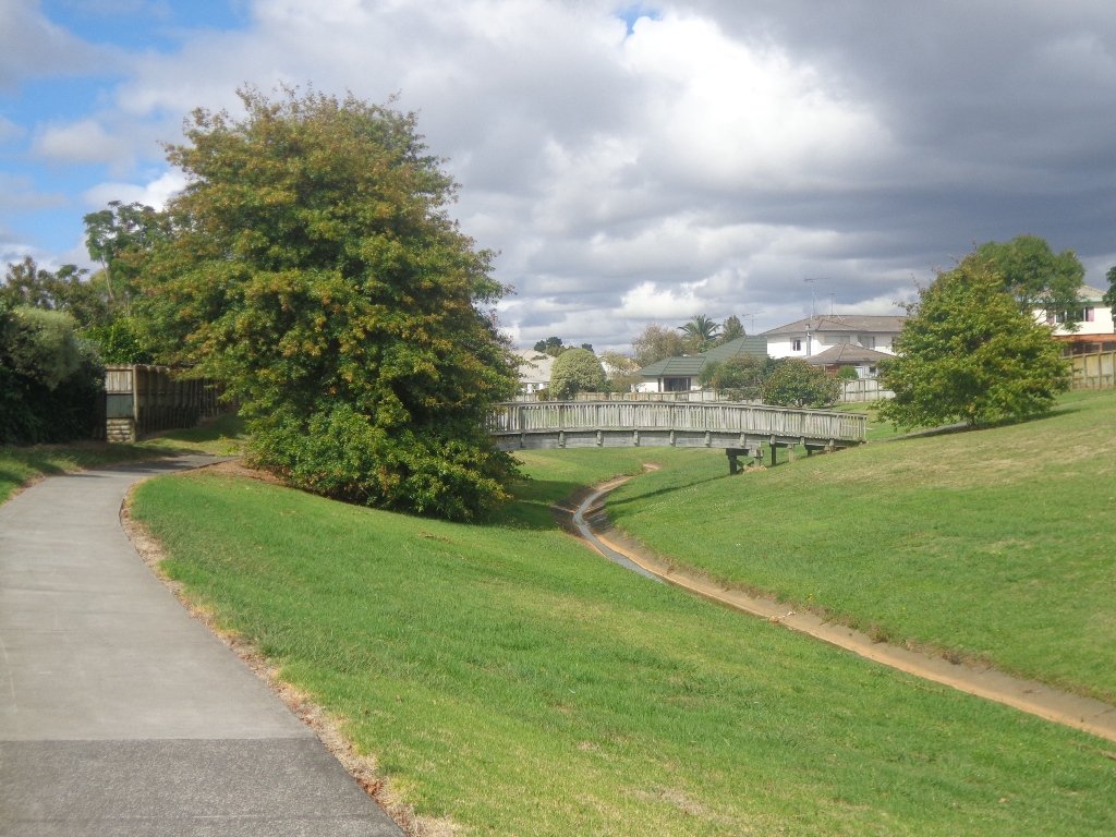
We have now added a fourth loop walk taking in the wonderful Pakuranga Rotary walkway. This 5kms loop walk follows the Tamaki Estuary through Farm Cove and explores the Sunny Hills suburban streets, with views of Mount Wellington and One Tree Hill.
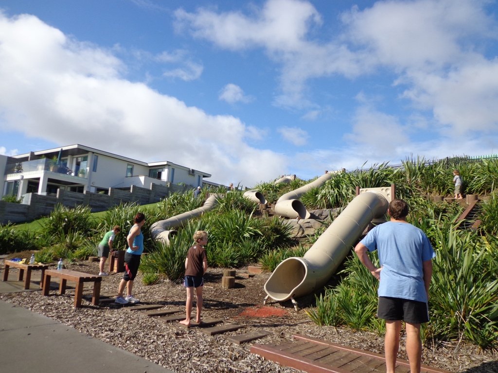
You may wish to cycle the whole 5 kms of the Pakuranga Rotary walkway, or just stop and watch the tide on one of the many seats along the walkway. Families may like to take a fun break on the snakes and ladders playground near the Bramley Drive entrance.
The walking route is also great for prams/buggies and dog walkers (on leash only).

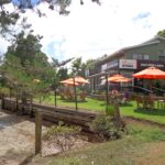
We stopped for coffee at the French inspired deli/cafe Mon Bichon, a delightful surprise in the Farm Cove village shops. You could buy your pastries from here to take and eat beside the walkway…(update: sadly it is no longer there).
Description: Mainly level paths (with one small incline). Suitable for users of average fitness and mobility. Suitable for cycling and push-chairs.
To see: Tamaki Estuary, Mangroves, white volcanic pumice deposits, views of Mount Wellington and One Tree Hill, residential homes
Time: approx. 60 minutes. (about 5 kms)
Start: Fisher Parade, Farm Cove Village MAP
Stay on track…find this walk’s map and directions guide (AE-068 Pakuranga Farm Cove Loop) and other walk self-guides at our Walk Store and our Book Store (“Best of the East”)
Pakuranga Kentigern Loop

Today we set out to explore another part of the Pakuranga Rotary Walkway, this time taking a loop behind Saint Kentigern College and through Manor Park.
This mainly flat 4km walk would suit workers at Pakuranga Plaza as well as residents. Views of Mount Wellington and water craft. Great for cyclists (cycle the full length of the walkway to Pigeon Mountain) and dog walkers (on leash – please refer to comments below), and for prams/buggies .
The day was calm and the skies blue – perfect for a walk!
Description: Mainly level paths. Suitable for users of average fitness and mobility.
To see: Views of Mount Wellington, water craft, residential homes
Time: approx. 45 minutes. (about 4.0 kms)
Start: Pakuranga Plaza MAP
Stay on track…find this walk’s map and directions guide (AE-066 Pakuranga Kentigern Loop) and other walk self-guides at our Walk Store
(Click on photos to enlarge)
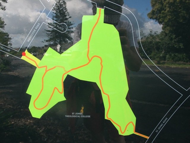
Apirana St Johns Loop
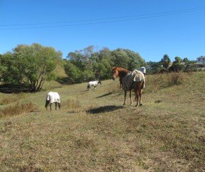
This walk makes use of the reserves within walking distance of Glen Innes Train Station. We visit the horse paddocks of Apirana Reserve with views of Mount Wellington, Eastern Beach and on a clear day, the Coromandel (this is part of the 7.5km Point to Point Walkway) and then walk through the native bush within St Johns Bush.
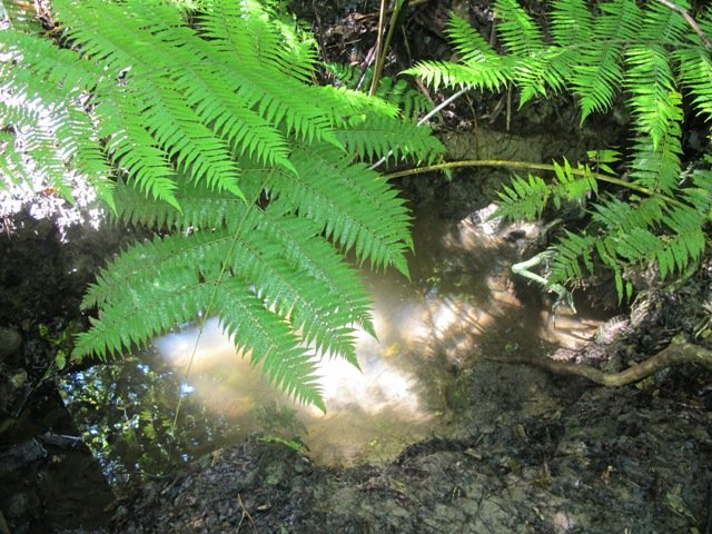
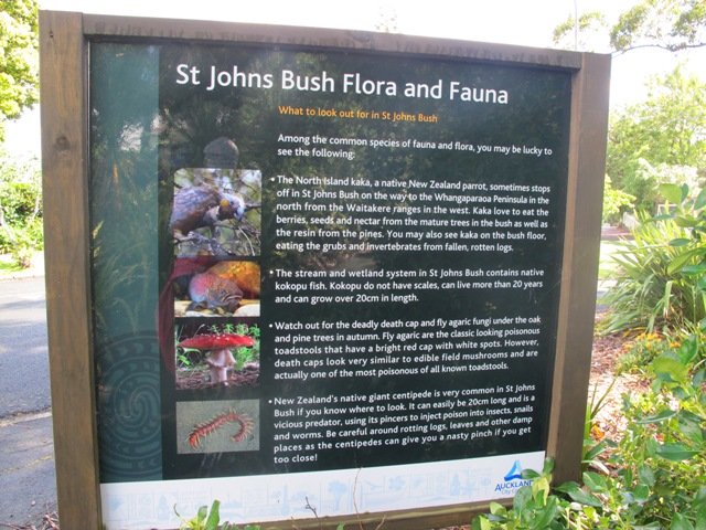
St Johns Bush is a green corridor for birds flying across Auckland. There is a wetland area with native fish. This area is home to over 165 different species of plants. The kauri tree is over 150 years old.
Joining up reserves to minimise street walking is a challenge, but we are very fortunate to have so many green spaces in Auckland. Our dream is that some time in the future, the reserves will be linked together to help us commute safely by bicycle or on foot (and hopefully wheelchairs), from one area to another, minimising road use.
Dogs- off leash exercise area in Merton Reserve.
Description: A mix of level and hilly paths. Suitable for users of average fitness and mobility.
To see: St Johns Bush native trees and ferns, residential housing, reserves, horse paddocks,views of Eastern Beach and the Coromandel, city skyline view
Time: approx. 60 minutes. (about 4.5 kms)
Start: Glen Innes Train Station MAP
Stay on track…get your detailed guide and map over at our Walks Store (AE-061 Apirana Saint Johns Loop) and our Book Store (one of 12 walks featured in our books “Dog Friendly Walks part 3” and “Best of the East”).