Tag Archives: Dogs

Botany to Cascades Loop Walk

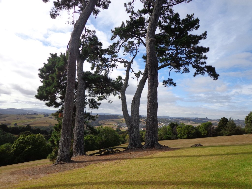
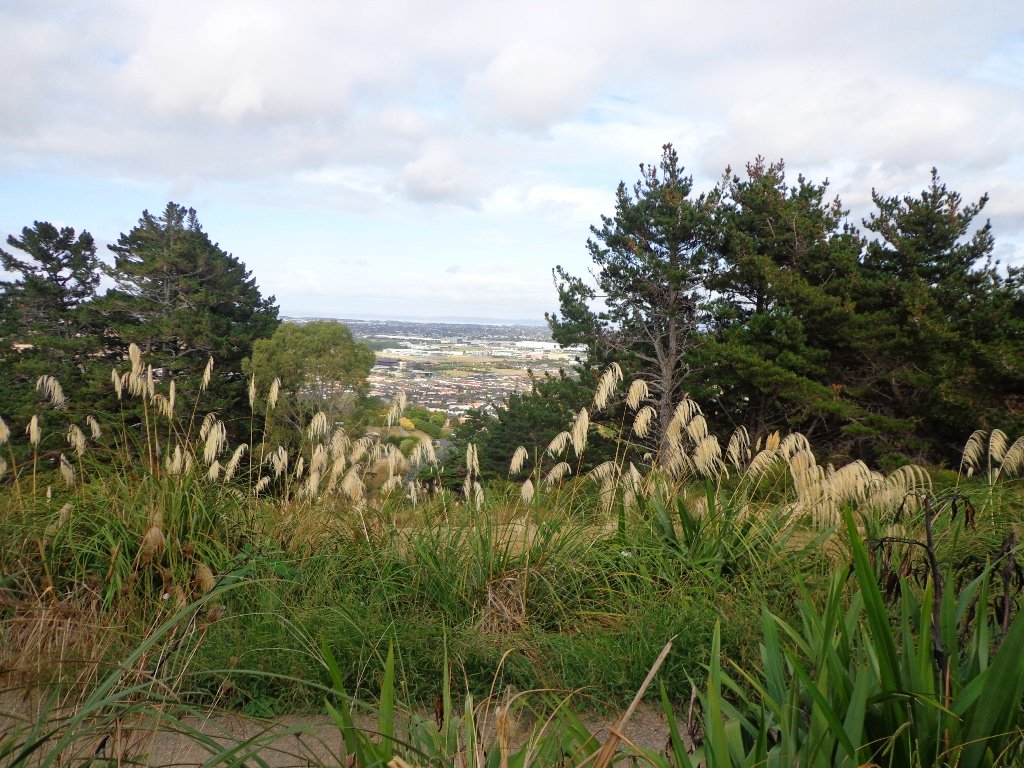
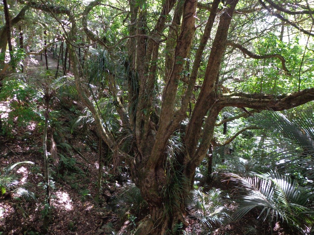
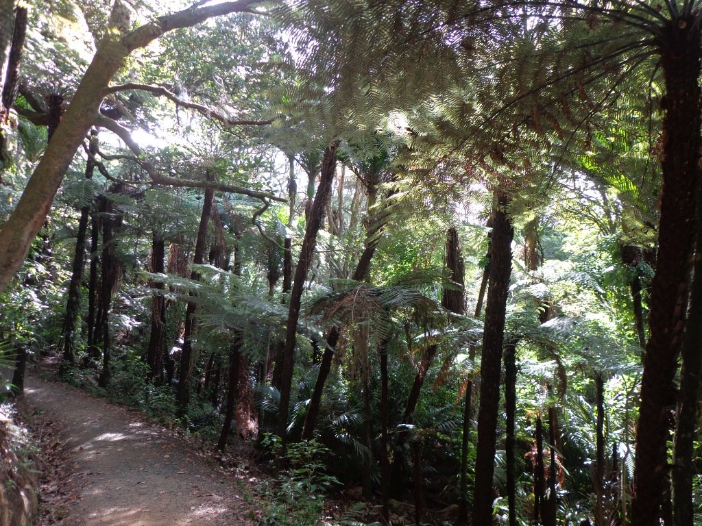
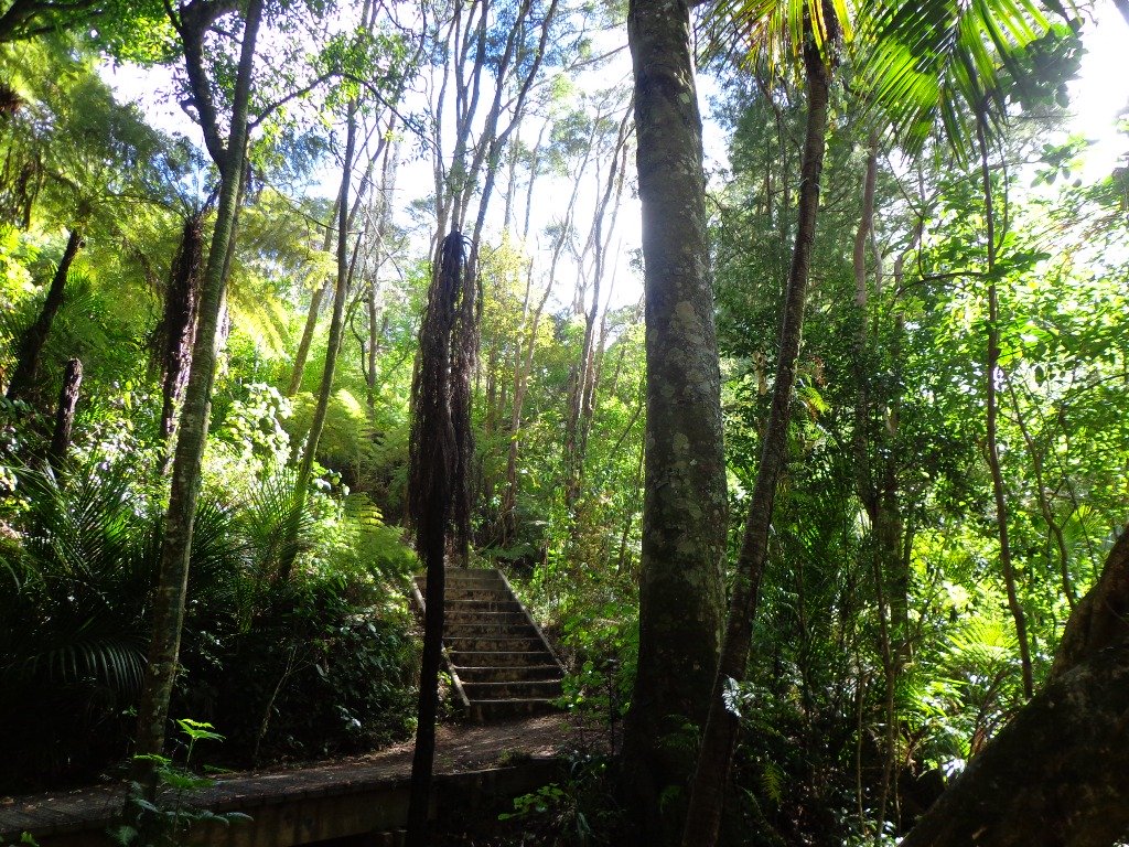
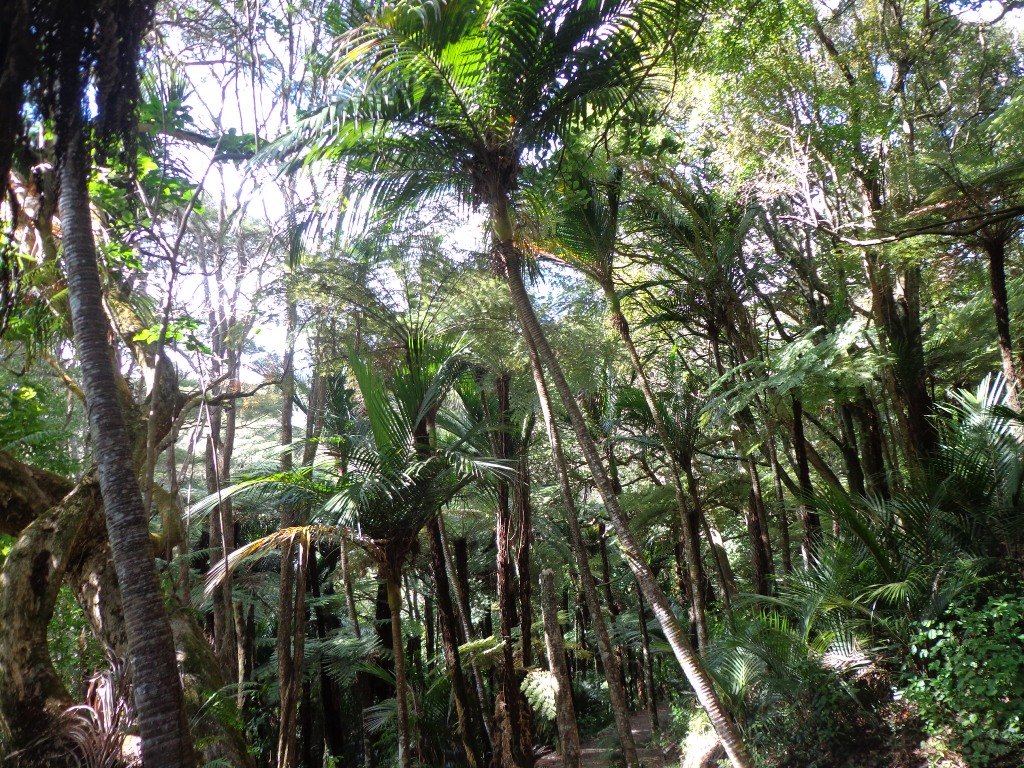
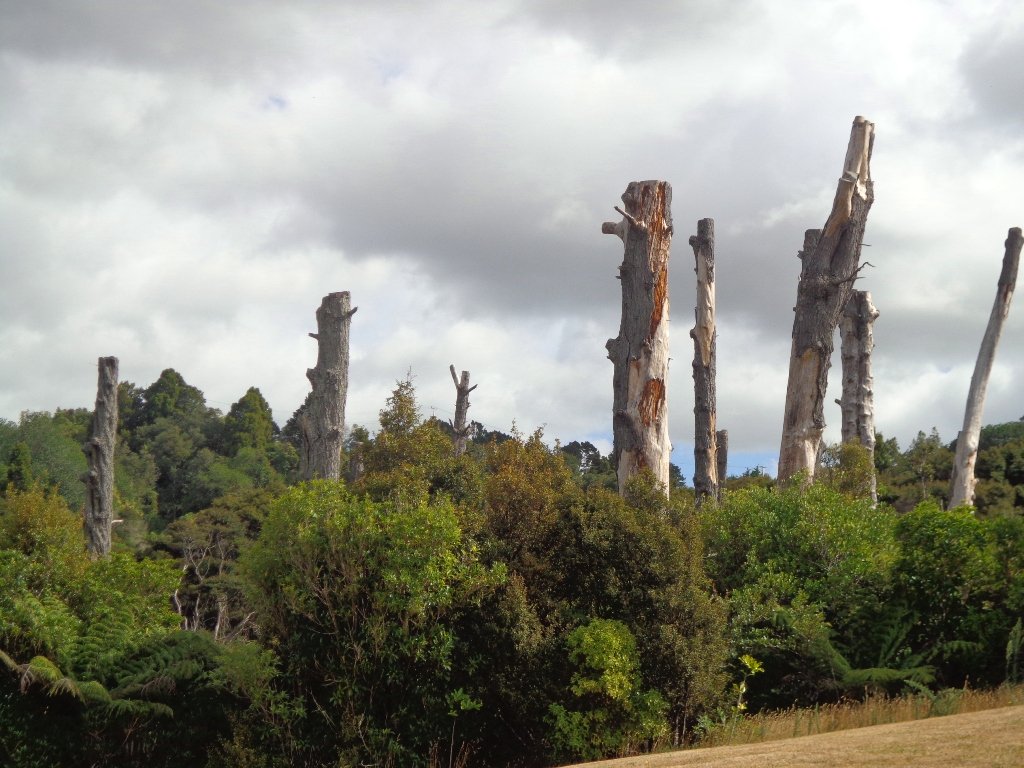
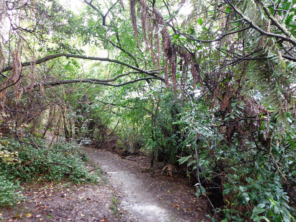
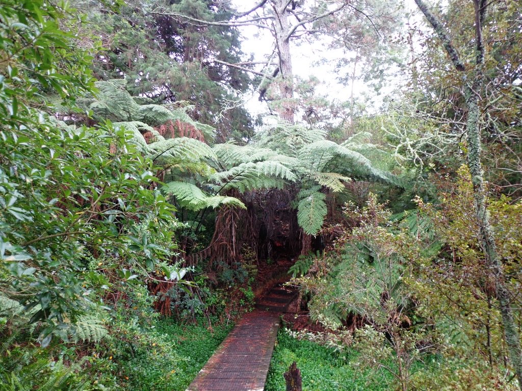
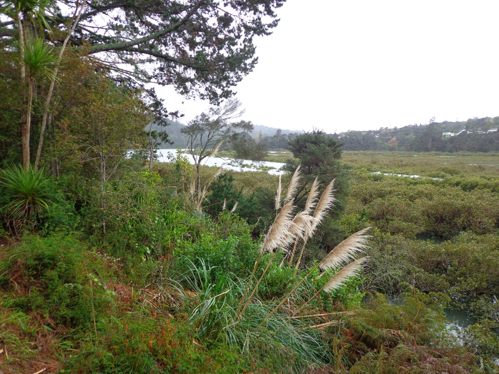
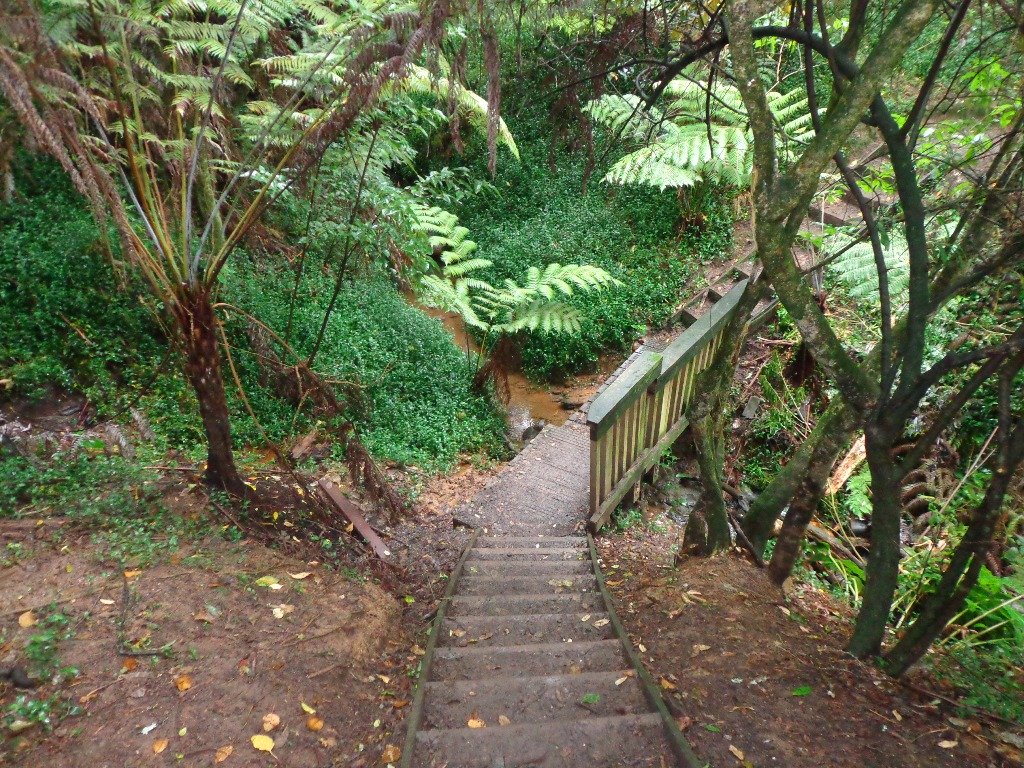
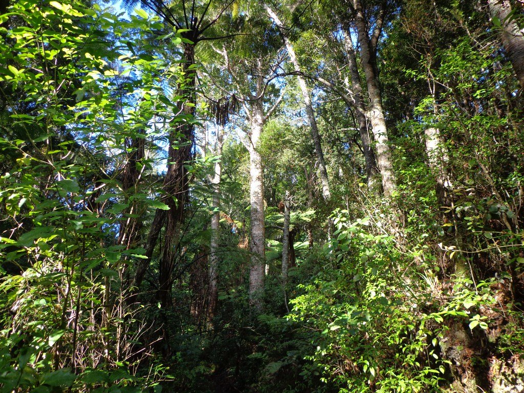
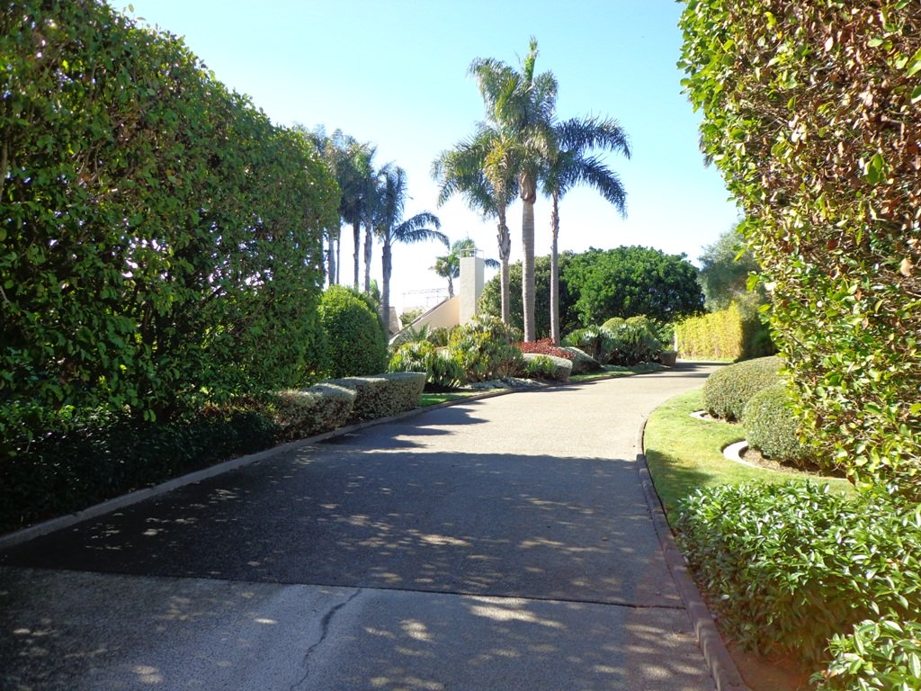
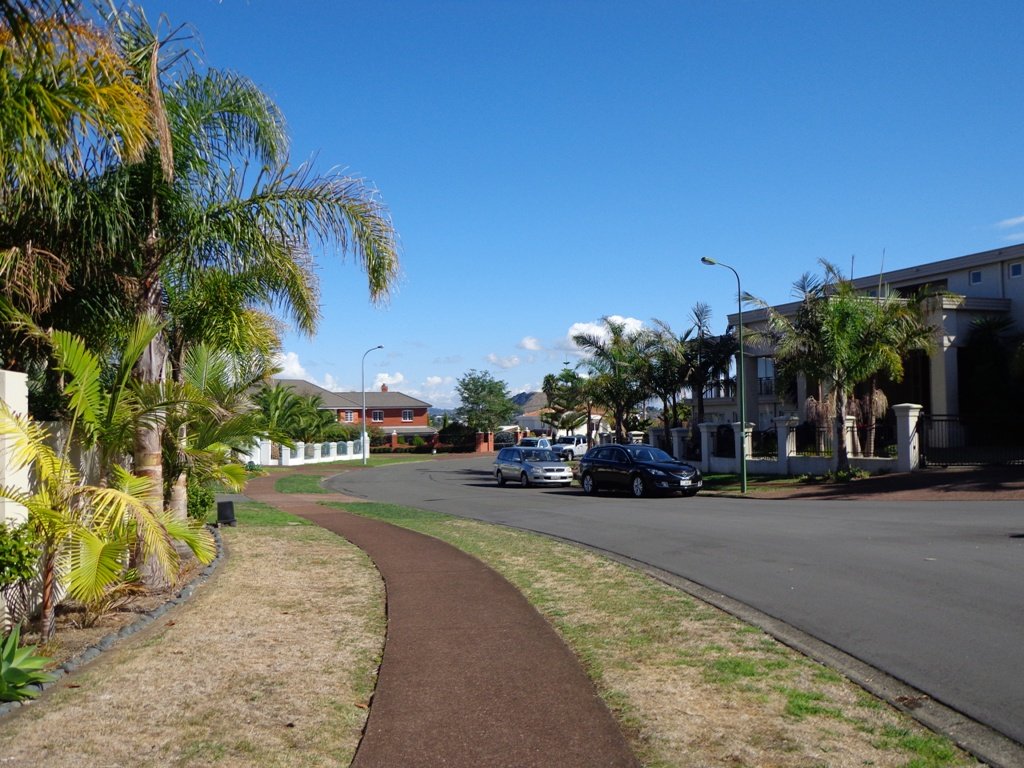
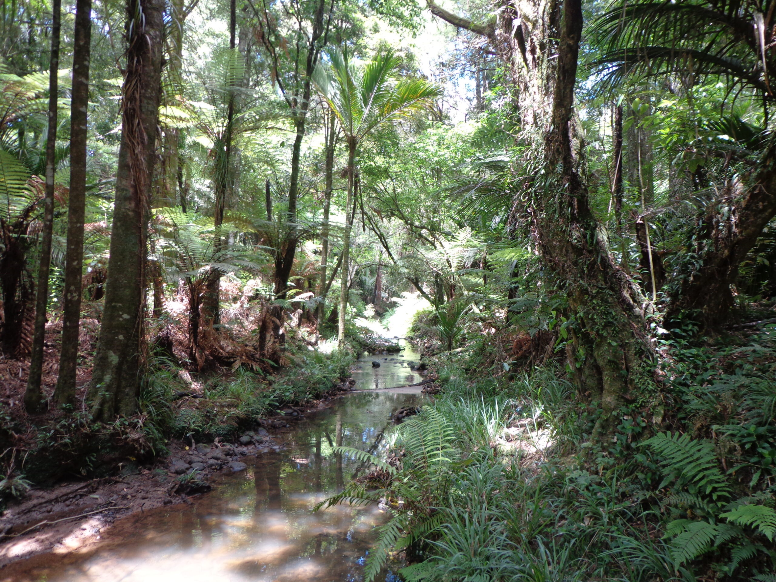
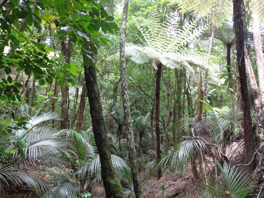
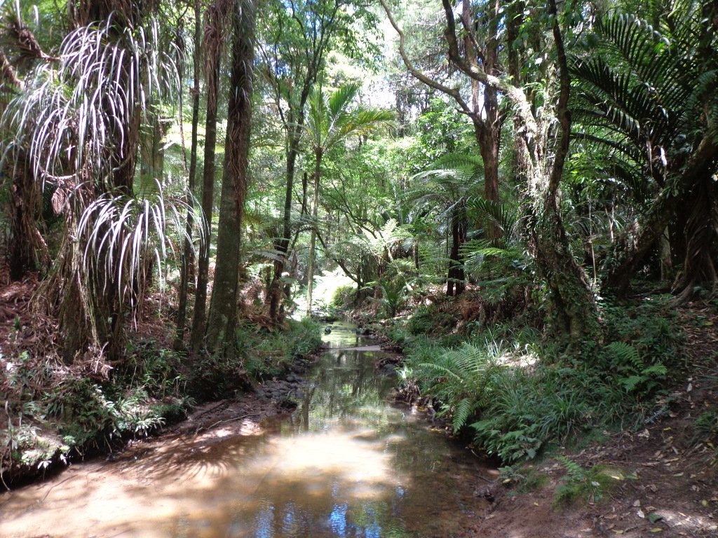
It continues to amaze us how the distances between places seem shorter when we are out walking compared to driving. This loop walk in Auckland from Botany Town Centre and back via Cascades Road, was one  that took us from an unfamiliar area to an area we have walked previously. When we start exploring a new area, we are never sure what we are going to find, and we found today’s walk very pleasant.

We made good use of reserve walkways and the suburban streets.  And we had three delightful surprises.

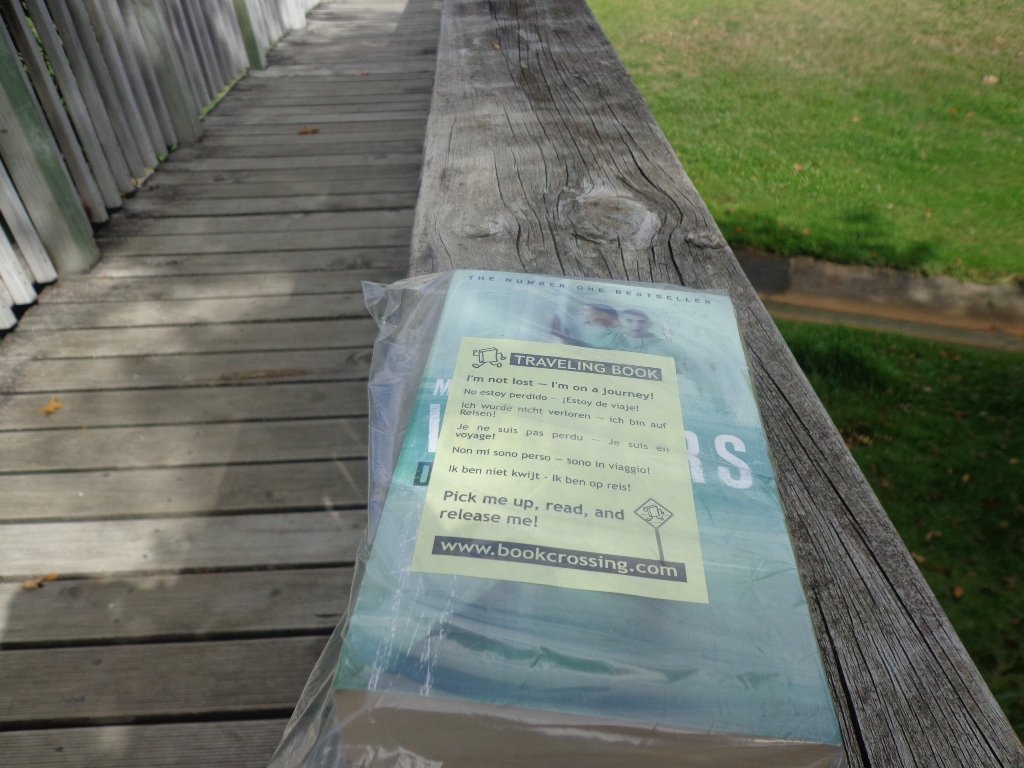
Our first surprise was finding a book –  a travelling book (from BookCrossing) left by someone to be picked up, read and released!

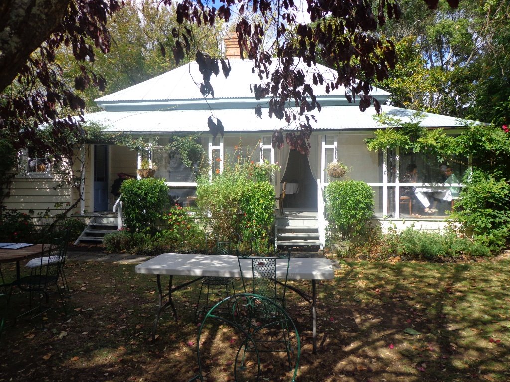
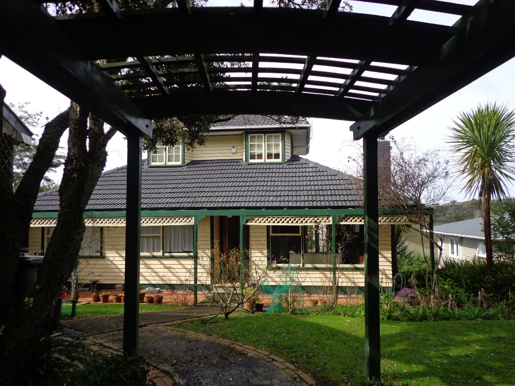
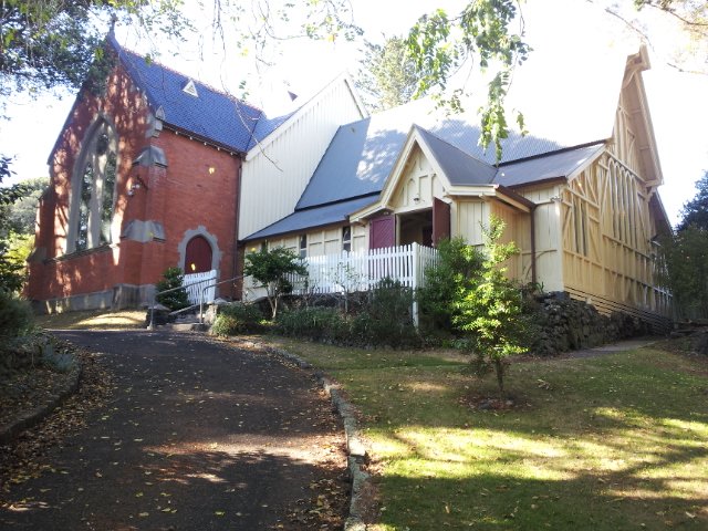
The second surprise was stumbling upon an old farm cottage which has been converted into a cafe that is surrounded by modern suburban housing. The grounds contain a tree that was planted in 1890. A hidden gem with a rural feel right in the middle of an urban wasteland with heaps of character and charm – Hawthorn Dene Historic Country Cafe.

Botany to Cascades Loop Walk Copyright 2014 Unleashed ventures Limited

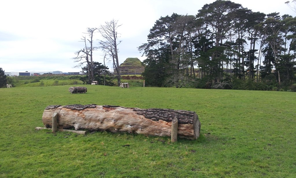
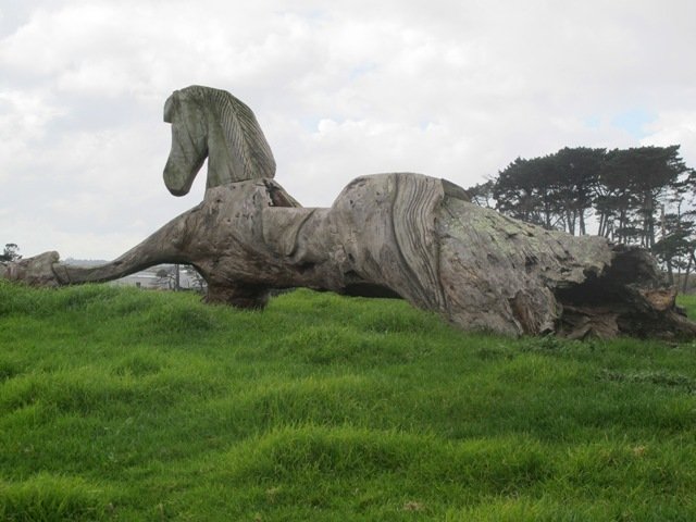
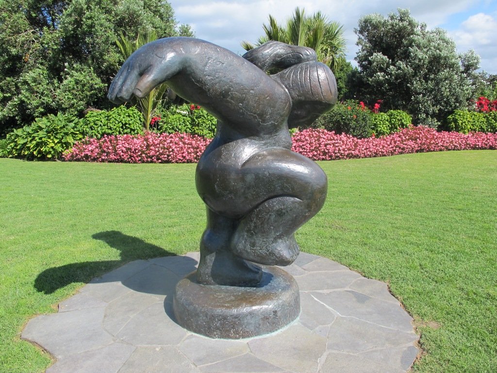
The third surprise was an amazing and wonderful wood carving which you would not know was there if you were travelling by car.

 
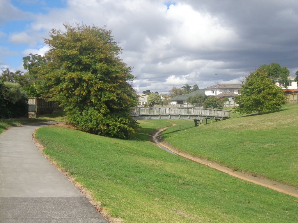
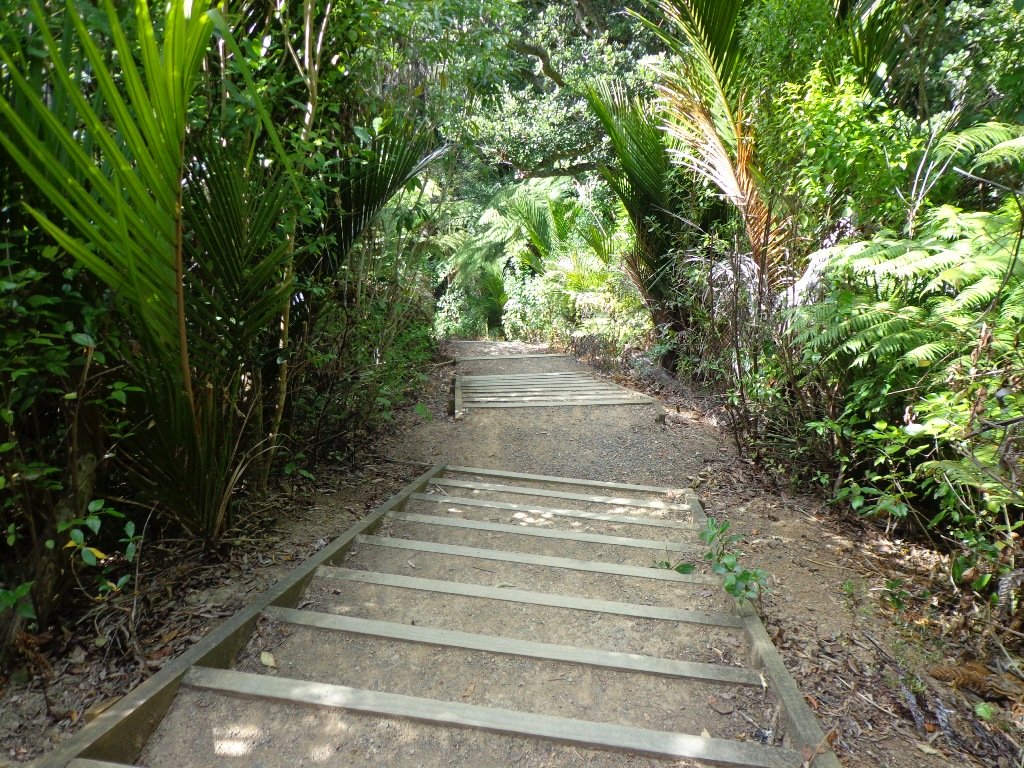
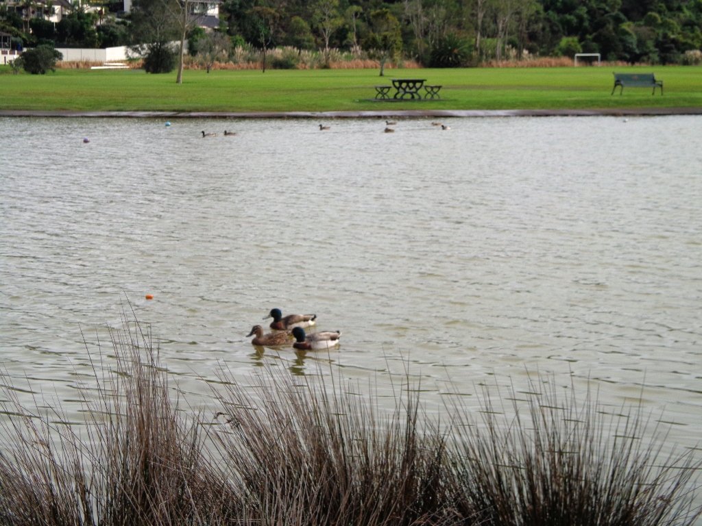
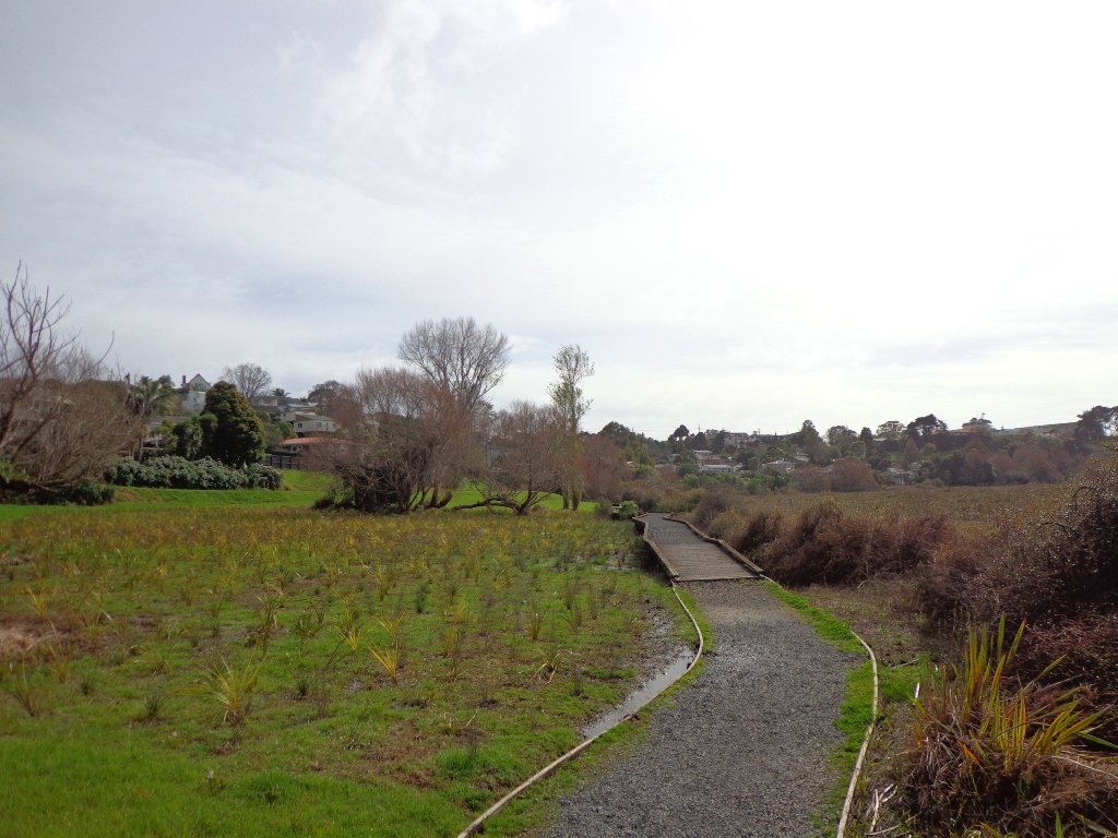
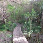
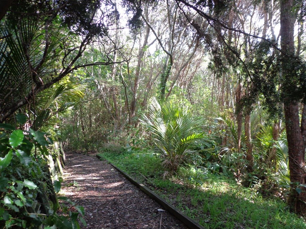
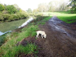
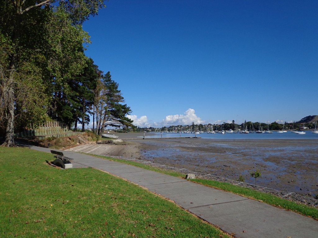
The walking route is also great for cyclists, prams/buggies and dog walkers . Dogs- Off leash exercise areas within reserves and parks.

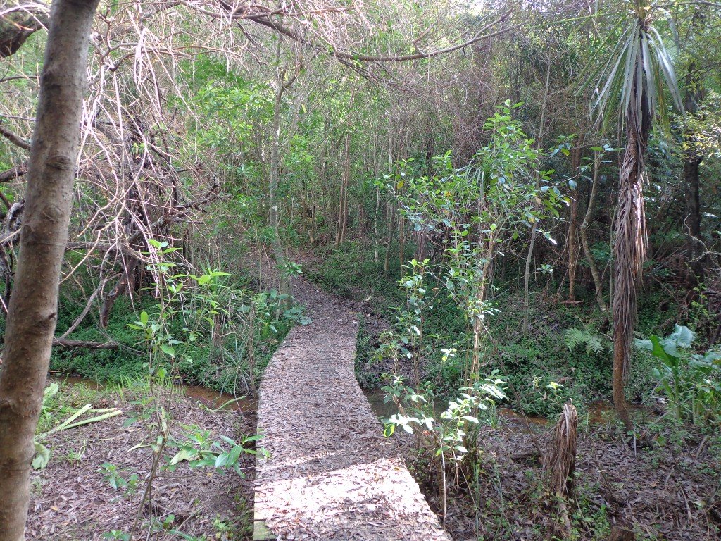
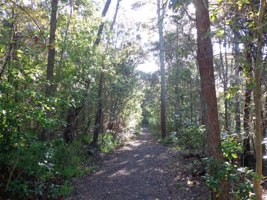
Description: Mostly level paths. Suitable for most ages and levels of fitness and mobility, designed with flat shoes or running shoes in mind. Suitable for pushchairs.
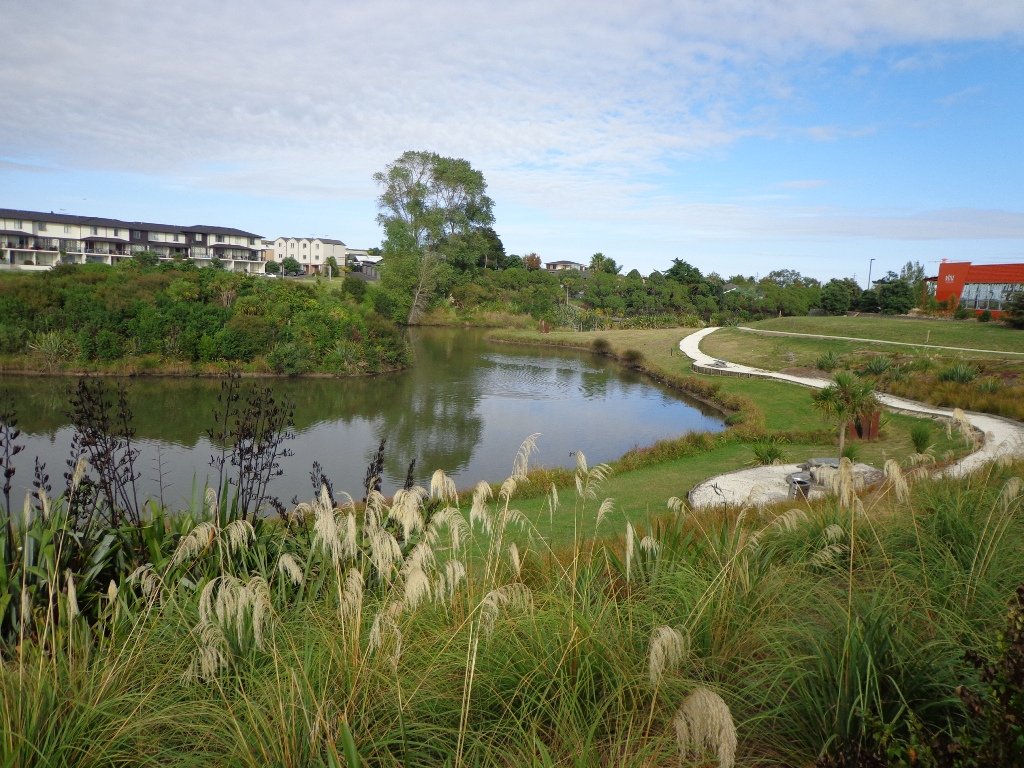
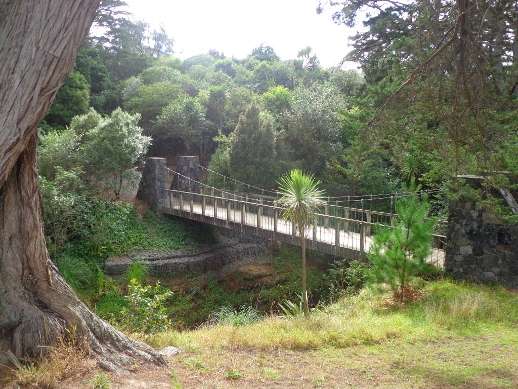
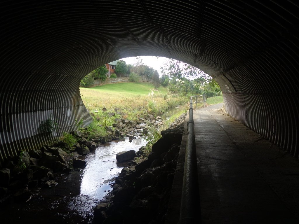
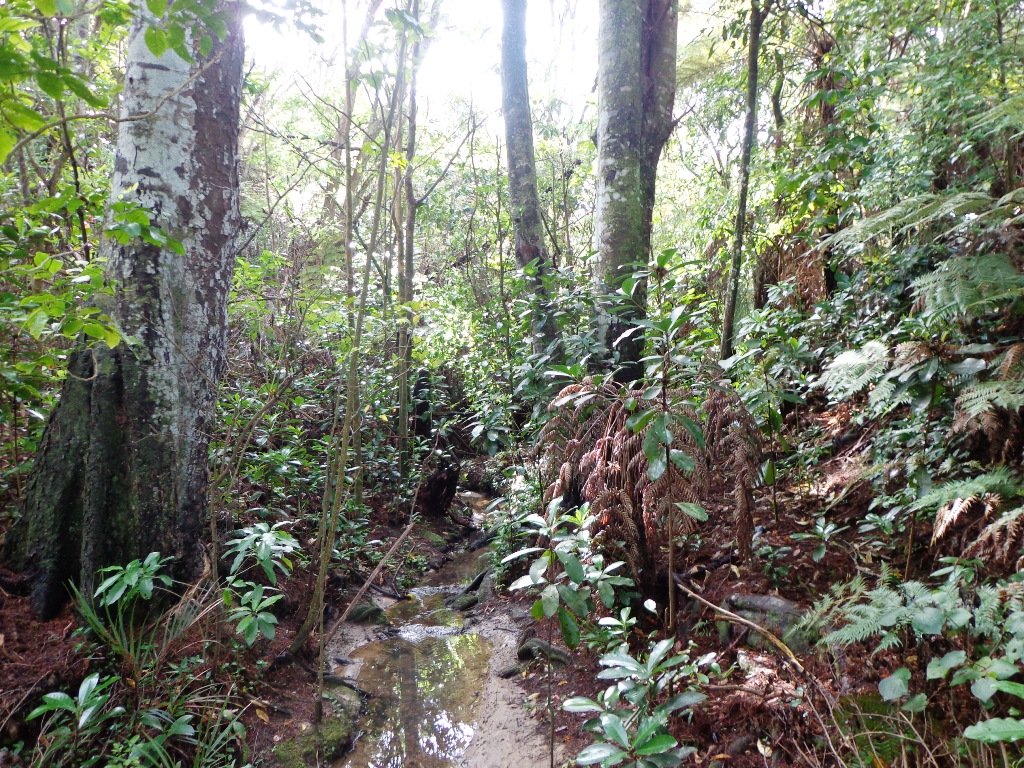
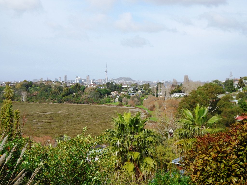
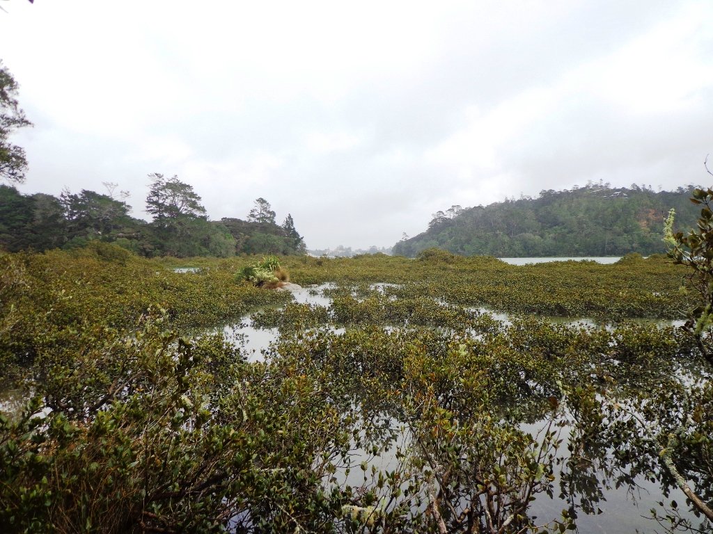
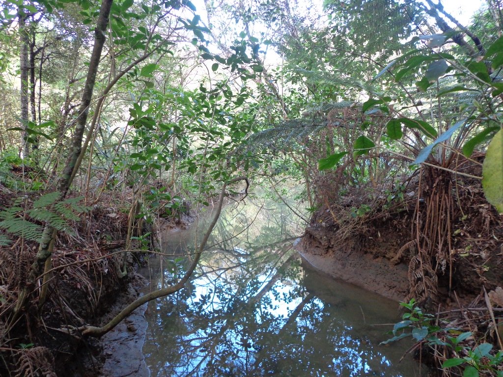
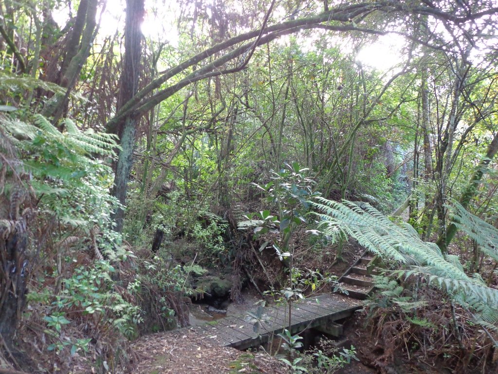
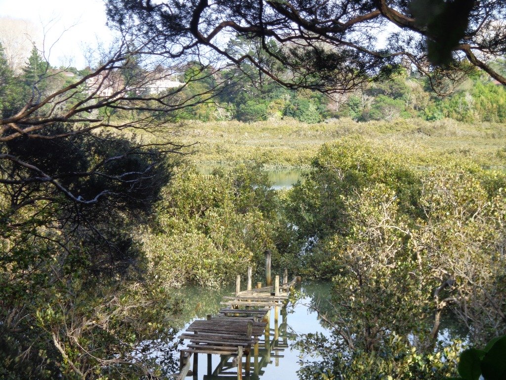
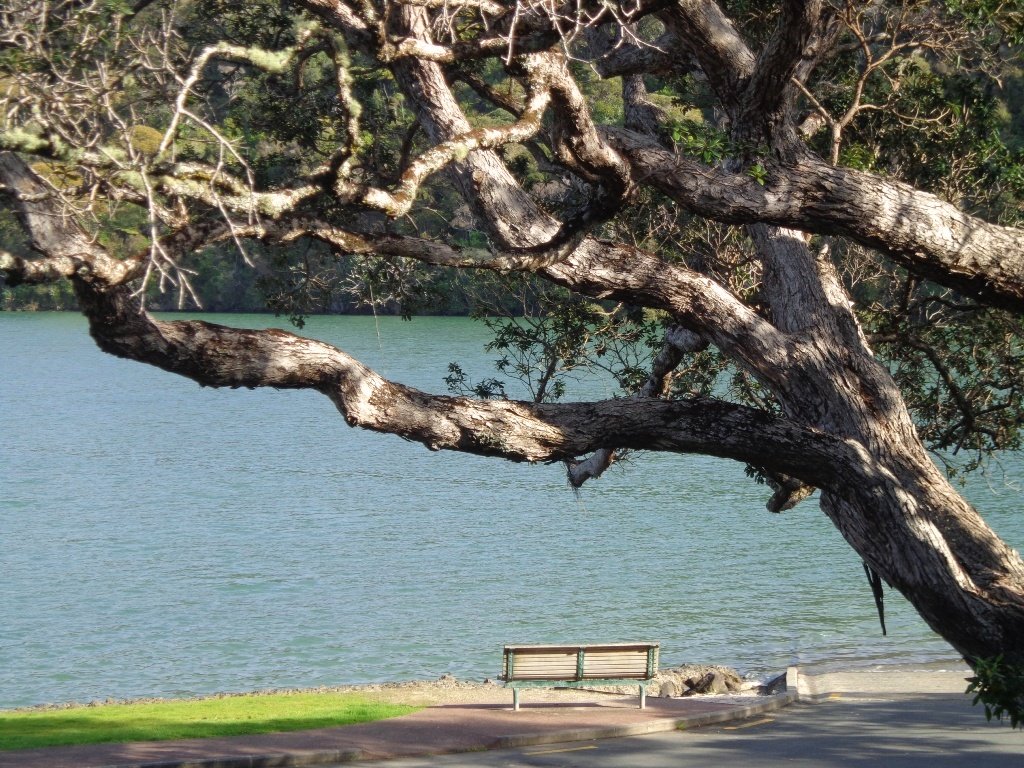
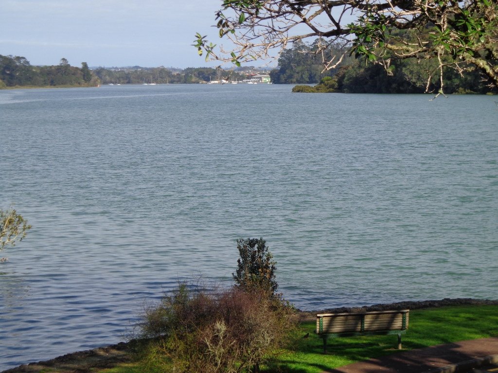
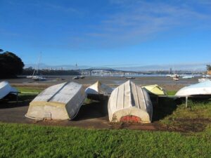
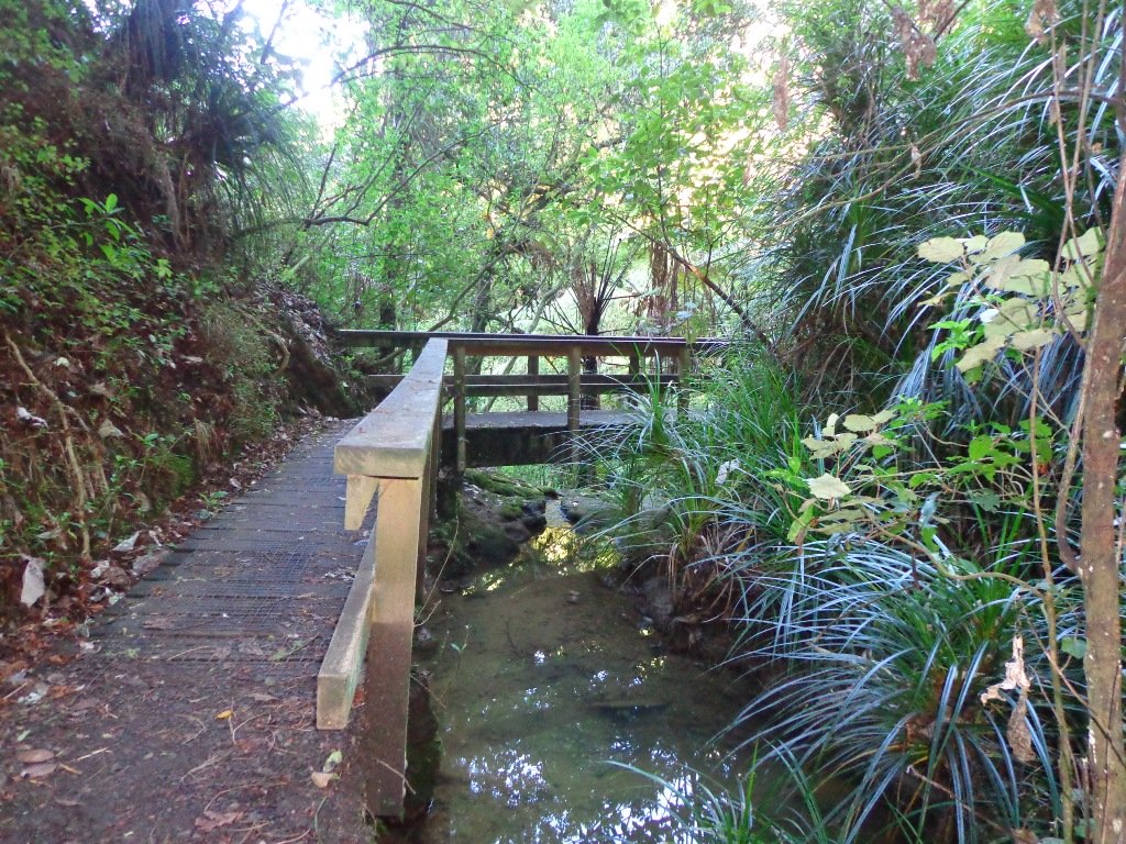
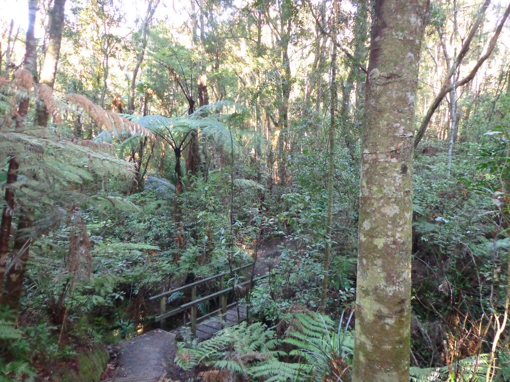
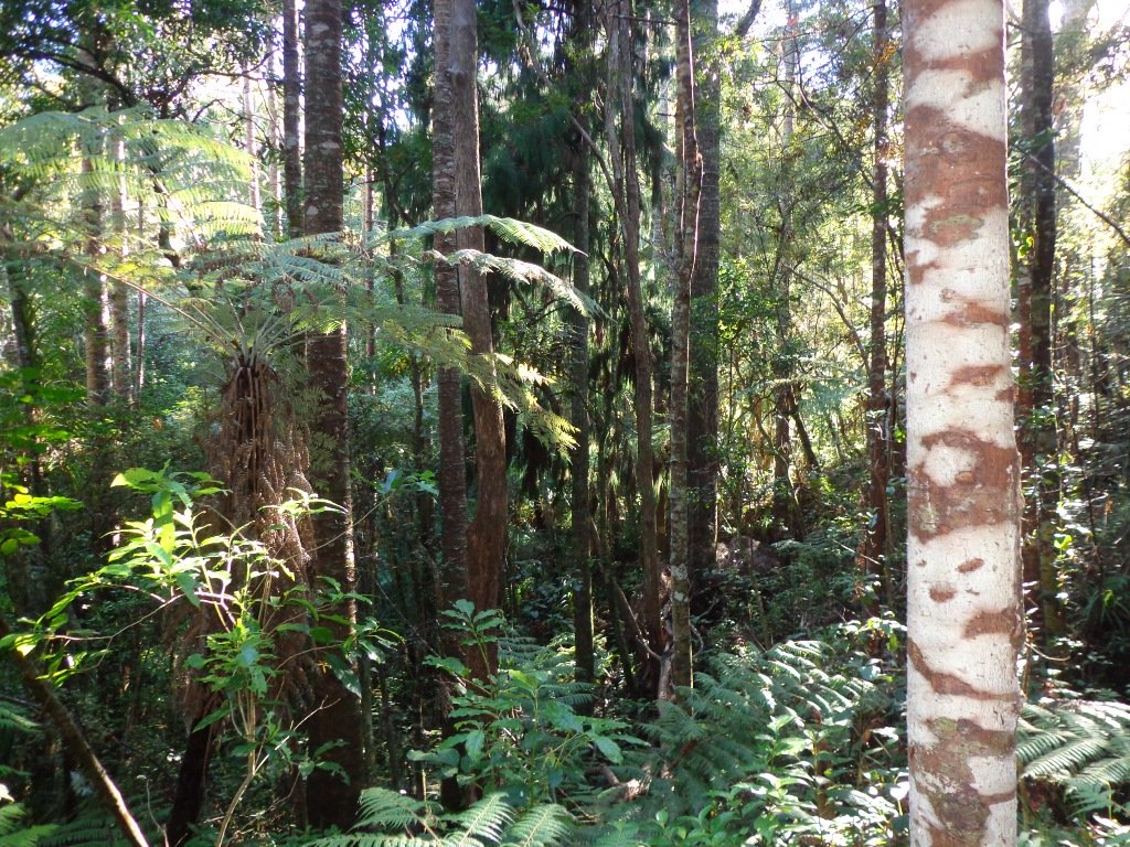
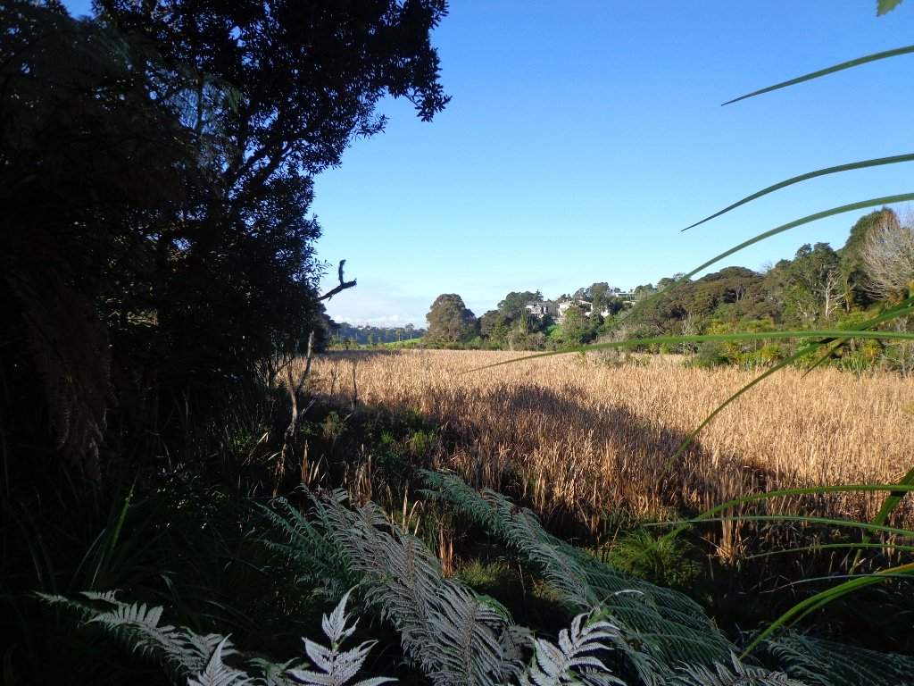
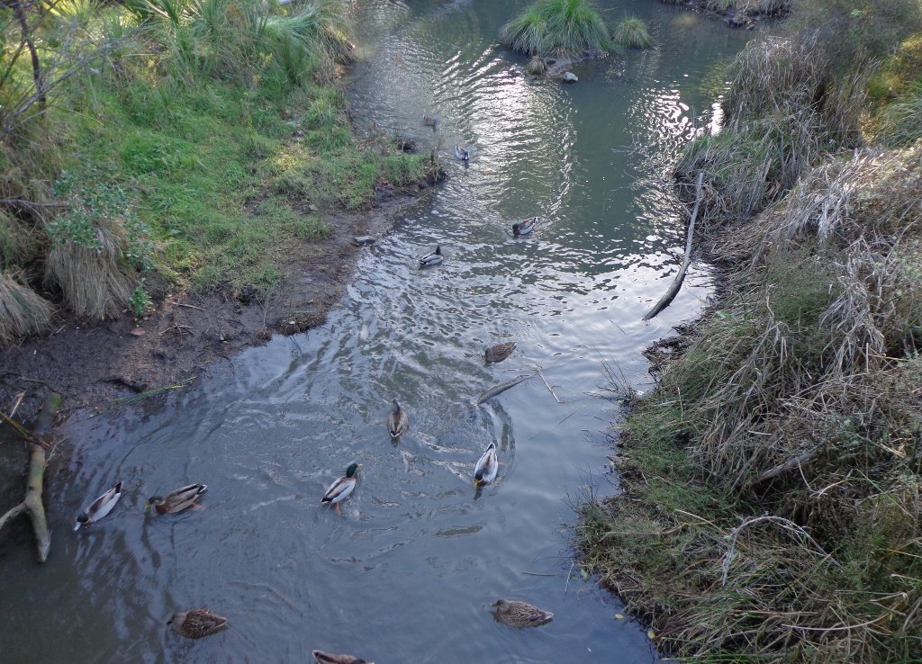
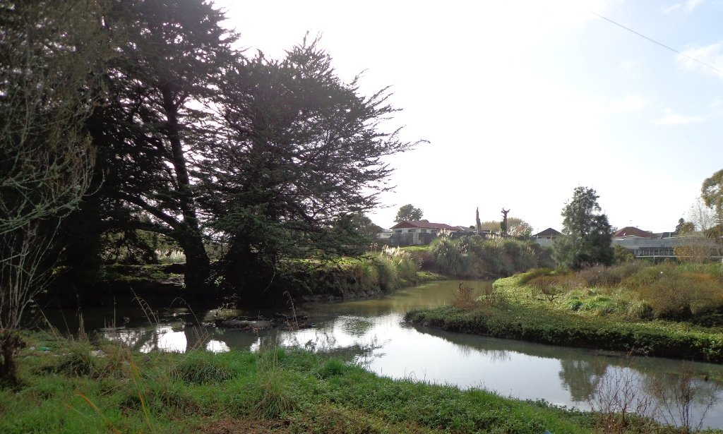
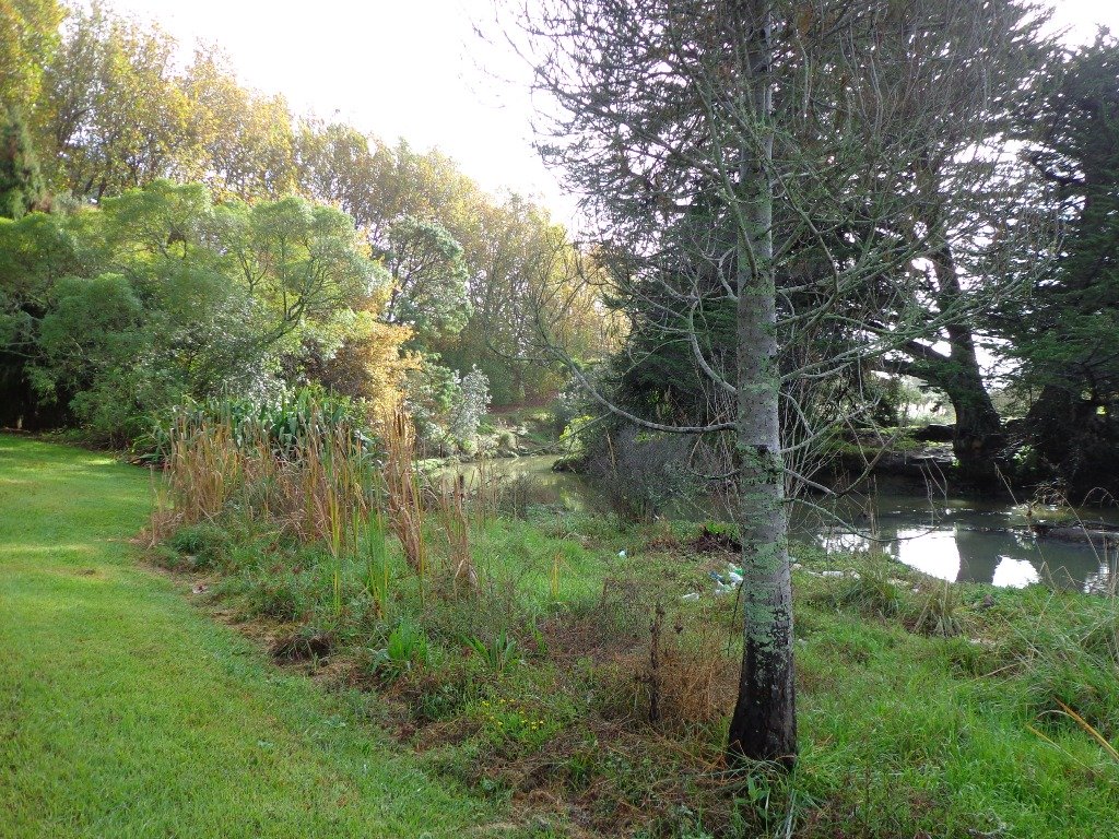
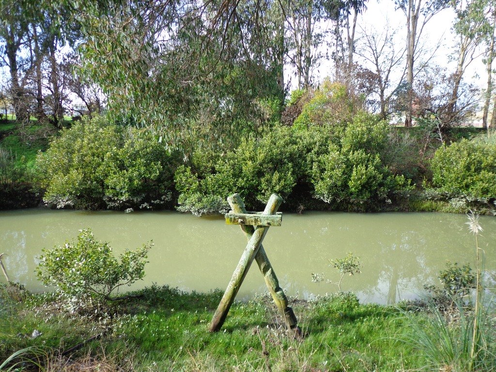
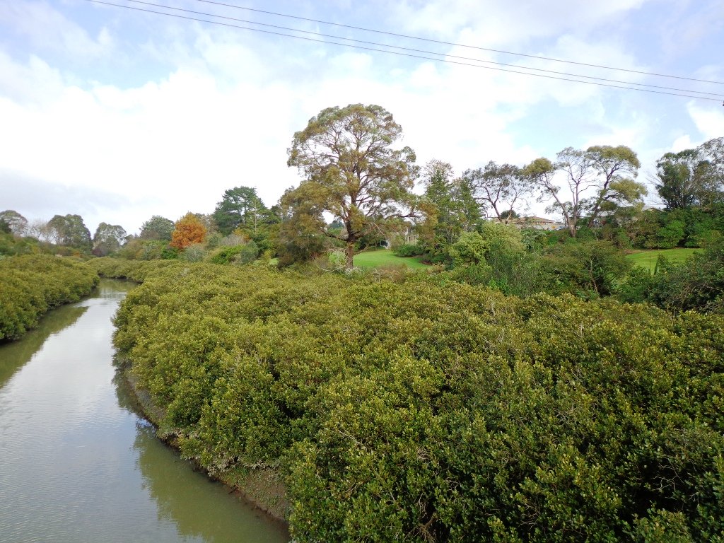
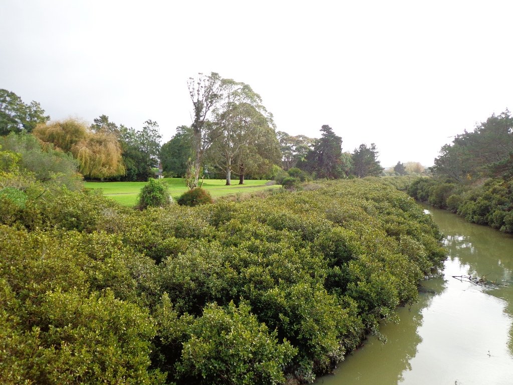
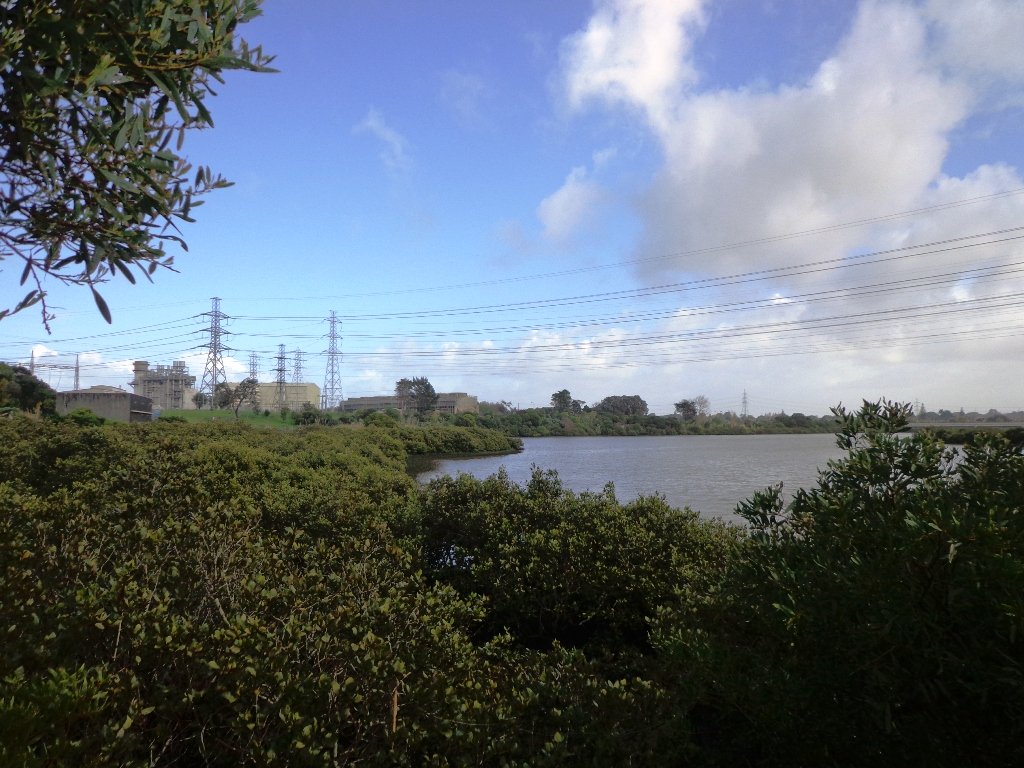
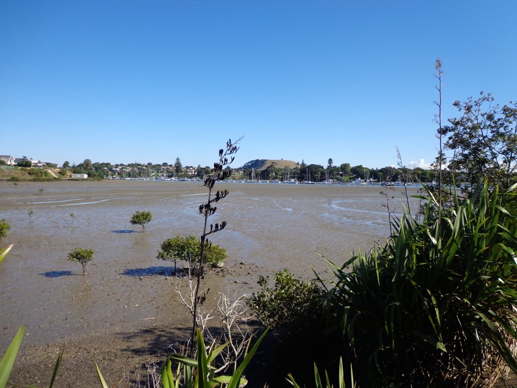
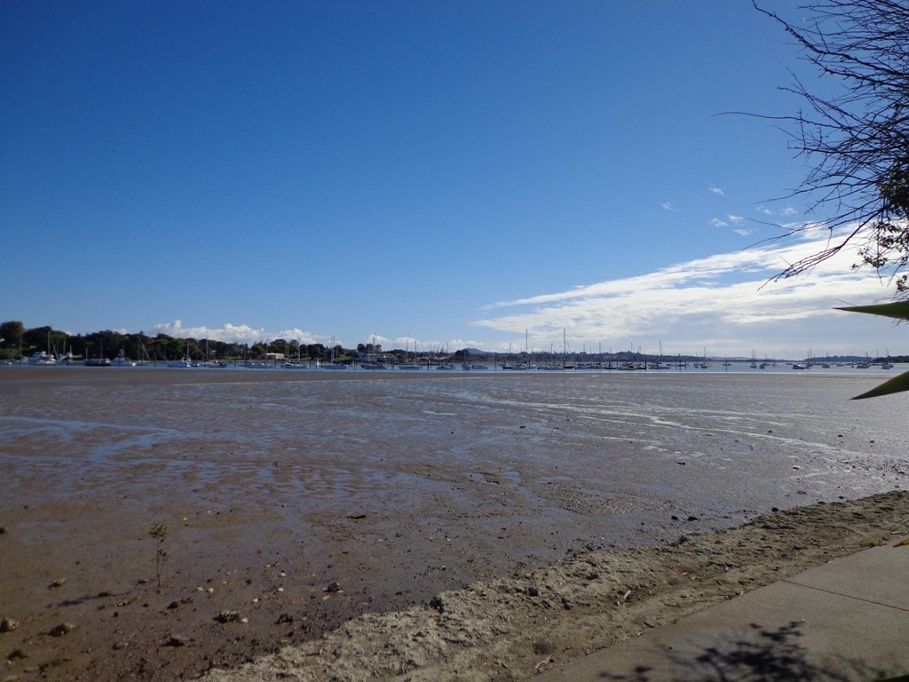
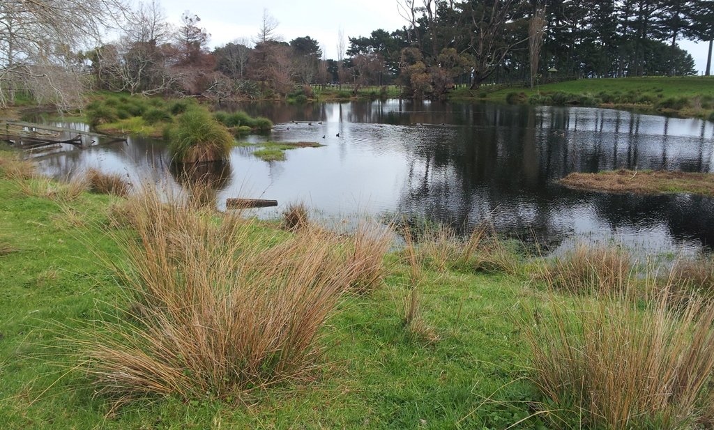
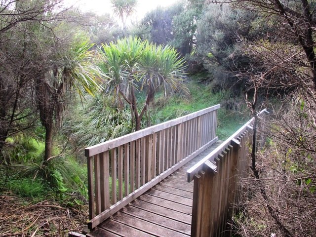
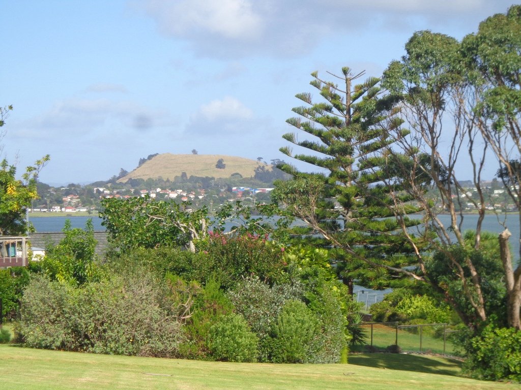
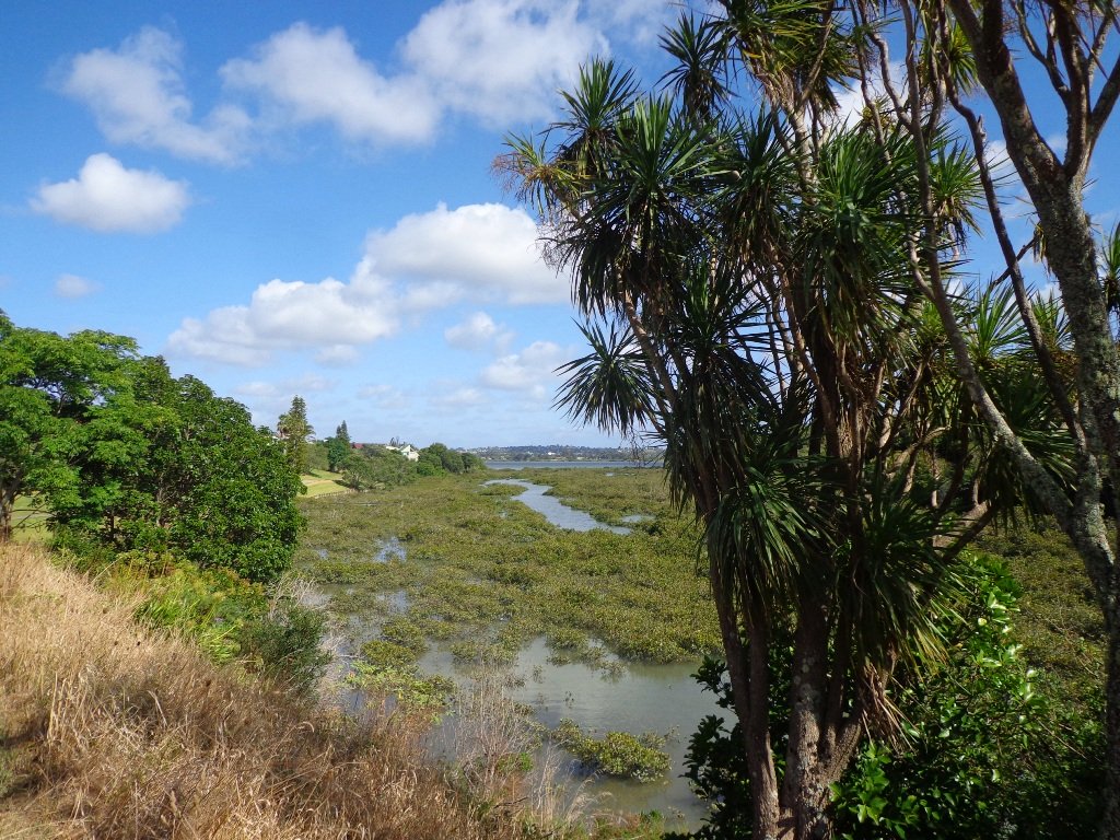
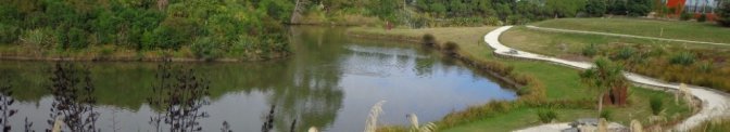
To see: Historical sites, bridges, waterways.
Time: approx. 75 minutes (about 7kms).
Start:The Hub, Ti Rakau Drive, Botany. MAP

Stay on track…find this walk’s map and directions guide (AE-100 Botany to Cascades Loop) and other walk self-guides at our Walk Store and our Book Store (“Best of the East”).

Mairangi Bay Loops

The clifftop and beach loop walks starting at Campbells Bay and taking in Mairangi Bay, and Murrays Bay and part of Rothesay Bay on Auckland’s North Shore provide stunning views over the Hauraki Gulf and Islands.

Maurangi Bay Loops Copyright 2014 Unleashed Ventures Limited

The beach walkway is dependent on weather and tides (check tides here).

Today the beach at Maurangi Bay was busy with sailors, surf lifesavers, swimmers and paddle boarders.

People were out walking their dogs – and the dogs looked very happy racing around off the leash along the cliff paths. Be sure to check out the Auckland Council dog rules for the North Shore beaches here.

Dogs are allowed under control off-leash at any time at Churchill Reserve Beach (Rothesay Bay).

The walkways do have steps so a good level of fitness is needed.

Description: Mostly level paths with some steps and one steep climb. Suitable for most ages and levels of fitness and mobility, designed with flat shoes or running shoes in mind. Not suitable for pushchairs. Not recommended at high tide.
To see: Coastal views.
Time: approx. 80 minutes (about 6.65 kms).
Parking:  View Road, Campbells Bay. MAP

Stay on track… Find this walk (AN-098 Mairangi Bay Loop) and other walk brochures with map and directions at our Walk Store

Point View Reserve Loop

Last weekend while we were exploring the Whitford area, we stumbled across the Point View Reserve, and decided to check it out.

Point View Reserve Copyright 2014 Unleashed Ventures Limited

Click to Access the Point View Reserve Google MAP

Point View Reserve is close to Botany and Dannemora and the view from the trig station, looking north to Auckland City puts the city’s housing sprawl into perspective.  Looking towards the opposite direction there are still the rolling hills of the quiet countryside to see. What a contrast!

And then, in the middle of the reserve is regenerating native bush – taraire, karaka, puriri, rimu, totara and kahikatea trees; as well as tree ferns, kanuka and nikau palms.   What a treasure this reserve is.

A tributary of the Mangemangeroa Creek runs through the steep gully (we were told there are 500 steps on the Koura Track).

Our 3km loop walk does require a good level of fitness – due to the steep steps.  Dogs must be on-leash in the bush areas, and off leash in the open areas.

Further information is at the greataucklandwalks website.

You can download the Auckland Council Point View Reserve brochure here.

Description: Mix of level and steep paths, with a series of steep steps. Suitable for good levels of fitness and mobility, designed with flat shoes or running shoes in mind. Not suitable for pushchairs.
To see: Views of Auckland City and countryside, bush and birds.
Time: approx. 45 to 60 minutes (about 3.16kms). Plus exploring time.
Parking:  Corner of Caldwells Road and Point View Drive. MAP

Best of the South: Short walks in Auckland

Stay on track… Find this walk (AS-097 Point View Reserve Loop) and other walk brochures with map and directions at our Walk Store . One of 12 walks in our book “Best of the South” available from our Book Store.

Northcote Tuff Crater Loop

This loop walk that takes in Northcote’s volcanic Tuff Crater and Onepoto Domain is based on one from Margaret Scrymgeour’s booklet “Explore the Shore”.

Onepoto Domain Northcote

We started the walk from the children’s playground area at Onepoto Domain.  We had heard about the children’s cycle track and it is a really safe place to bring young children and their bikes.  The playgrounds looks like a lot of fun too (it has a flying fox).  It is a great place to have a picnic, feed the ducks and an ideal spot for parenting groups to meet up.

Onepoto Basin is another of Auckland’s explosion craters and it is the oldest dated, erupting about 250,000 years ago. The Maori name “Onepoto” means small beach (named after Halls Beach near Northcote Point).

Tuff Crater is another explosion crater (this one is filled with water), which is being restored to its natural state with a balanced ecosystem of native plants and wildlife, all with volunteer help. It was formed by explosive eruptions around the same time as Onepoto.
For more information about the Tuff Crater, you may wish to view this video. (please note that our loop walk includes part of the Tuff Crater. There are future plans to build a circular walkway completely around the Tuff Crater).

Tuff Crater - dogs on leash only

Dogs may be off-leash on the track within the Tuff Crater Reserve (according to Auckland Council  Bye-laws Department re phone call 3/6/2014).  There is a risk that they could disturb endangered bird life, so please keep them under control.  We do have a request for dog owners to pick up litter (as we did come across litter).
PLEASE NOTE: As of the 29th October 2014 the new dog rules for Tuff Crater – Dogs prohibited within the foreshore (mangroves) of Tuff Crater; on-leash on track around reserve.

Description: Bush tracks, steps, inclines. Muddy in places when wet. Suitable for users of average fitness and mobility.
To see: Native bush, views across Auckland Harbour, native birds, volcanic crater
Time: approx. 60 minutes. (about 5.0 kms). Dog friendly, but on leash only.
Parking: Onepoto Domain, Northcote.
Buses: Onewa Road, Northcote MAP

P1 Dog friendly walks in Auckland

Google Maps for
Onepoto Domain &Tuff Crater

Stay on track…get your detailed guide and map  (AN-085 Northcote Tuff Crater Loop) over at our Walks Store and our Book Store (one of 12 walks featured in our book “Dog Friendly Walks part 1”).

Beach Haven Coastal Walk

The Beach Haven coastal walk on Auckland’s North Shore hugs to the coastline with views to Bayview, Hobsonville Point and the bush that runs alongside the Upper Harbour Highway. The route follows Hellyers Creek, then all the twists and turns of the small mangrove-filled inlets, and through trees filled with birdsong.

Beachaven Coastal walk © 2011-2013 Unleashed Ventures Limited

Today was rainy and windy – the yachts sailing out from Hobsonville Point were making the most of the winds.  But we were sheltered by the trees and small gullies.

This walk begins at the Community Creche entrance to Shepherd’s Park, where there is a children’s playground  a cyclists learning track and a fitness trail, as well as sports fields. The signs indicate that dogs must be kept on-leash (but we did see dogs off leash along coastal walkway).

If you wanted to make this a day outing, you could catch a ferry from Britomart to Beach Haven.  Bring a picnic lunch.

Description: Bush track, steps, inclines. Muddy in places when wet. Suitable for users of average fitness and mobility.
To see: Native bush, views across Auckland Harbour, native birds.
Time: approx. 60 minutes. (about 5.0 kms)
Parking: Beach Haven Community Creche carpark.
Buses: Tramway Road stop on Beach Haven Road.
Ferry: to Beach Haven MAP

Cafe suggestion: CAFE AU BON COIN CAFE PATISSERIE

Stay on track…find this walk’s map and directions guide (AN-084 Beach Haven Coastal Walk) and other walk self-guides at our Walk Store.

Bayview Coast and Bush Walk

Today we set out to explore the Bayview area near Glenfield on Auckland’s North Shore. What a wonderful surprise to find a beautiful bush walk, alongside the Upper Harbour reaches, all part of the Glenfield Coastal Walkway.

Manuka Reserve © 2011-2013 Unleashed Ventures Limited

The walk takes in Manuka Reserve with views of the upper harbour, Hobsonville Point and native bush. Not only are there stands of manuka trees (tea trees) beside the estuary, but inland within Leigh Scenic Reserve, there are kauri trees and palms.

This circular walk is mostly bush with only a small section of street footpaths.  It is suitable for families, with two places to stop at playgrounds. Dogs must be kept on leash.

Description: Bush track, steps, inclines and board walks. Muddy in places when wet. Suitable for users of average fitness and mobility.
To see: Native bush, small waterfalls, views across Auckland Harbour to Hobsonville Point, native birds.
Time: approx. 60 minutes. (about 5.0 kms). Dogs on leash. Two childrens playgrounds.
Start: Lynn Road, Bayview near Glenfield. MAP

***Please note: September 2018 This track has been temporarily closed due to Kauri Dieback

Stay on track…get your detailed guide and map (AN-080 Bayview Bush Walk)over at our Walks Store  and our Book Store (one of 12 walks featured in our books “Urban Bush” and “Dog Friendly Walks part two”).

Le Roys Bush Loop

Saying that you are going for a walk in the bush in urban Auckland, may sound like an oxymoron…however, that is one of the many wonderful aspects of walking in Auckland – you never have to go far to find native bush. Kauri Glen Reserve lives up to it’s name and Le Roys Bush follows a stream downhill to the restored wetlands of Little Shoal Bay, Northcote (which was once a tidal estuary filled with mangroves).

Little Shoal Bay © 2011-2013 Unleashed Ventures Limited

This morning the sun was out (as well as the tide!), which made it a very pleasant and warm winter’s day.  Some of the smaller tracks are wet, muddy and slippery so if that doesn’t fit with you, then I suggest that you save them for a summer walk. The loop walk we have documented keeps you on the drier paths and boardwalks.

We were rewarded with sunlight filtering through the native trees, the sound of the bubbling stream and the songs of the native birds – we could have been deep in the bush instead of in the middle of urban residences!

  • Free Map for your smartphone – go to the new prototype site:  Le Roys Bush Walks [22Nov2015]

Kauri Glen is one of the oldest bush reserves on the Shore (measures about 25 acres and first sizeable pieces of land that was placed under public management) which includes trees such as taraire, totara, kauri, tawa, rewarewa and maire. Kiekie and nikau are abundant in this sub-tropical rainforest. Smaller species of note are pate and karapapa. The area is alive with the likes of tui, fantails and moreporks.

Little Shoal Bay Reserve is a great place to start and finish at – with plenty of parking and a fun looking children’s playground.  Dogs must be kept on leash to protect the flora and fauna.

Alternatively you could begin your walk at Birkenhead. A new track has been constructed (September 2016) from 31-45 Birkenhead Avenue. Called the Maori Pipi Walk.

You could pop into the Northcote Tavern  for lunch, coffee or a beer afterwards – full of character and nice ambience. Or stop at Sausalito Cafe.

****************************************************************
Please protect our Kauri.  Clean ALL dirt off your shoes and dogs feet BEFORE you arrive. Spray feet on entering and leaving. Dogs on leash at all times. Keep to the tracks. Enjoy your walk. 
Join Le Roys Bush on Facebook.

***Please note: September 2018 This track has been temporarily closed due to Kauri Dieback
****************************************************************
Description: Bush track and board walks. Slippery when wet. Suitable for users of average fitness and mobility.
To see: Native bush, waterfall, wetlands, views across Auckland Harbour, native birds.
Time: approx. 60 minutes. (about 5.0 kms)
Parking: Little Shoal Bay Reserve
Buses/Ferries: Queen Street, Onewa Road, Northcote MAP

Stay on track…get your detailed guide and map  (AN-079 Le Roys Bush Loop) over at our Walks Store and our Book Store (one of 12 walks featured in our books “Urban Bush” and “Dog Friendly Walks part 2”).

Takapuna Explorer

Our walk around Takapuna on Auckland’s North Shore was in warm winter sunshine.  It was great to see so many people out walking – some with their dogs off-leash on the beach (check out the Council dog rules), making the most of the day.

Takapuna Beach Auckland Copyright Unleashed Ventures Limited 2013

We followed a route documented by Margaret Scrymgeour from her booklet “Explore the Shore”. This walk takes in the sandy shore as well as the mangrove filled estuaries. The walk is quite undulating, so gave us a good workout. The views of Rangitoto are stunning, and we also enjoyed the view to Auckland City, Mount Eden and the Harbour Bridge.

Description: Mix of flat and undulating paths. Suitable for users of average fitness and mobility.
To see: Takapuna Beach, Rangitoto, Mangrove, native birds, ducks
Time: approx. 90-120 minutes. (about 8 kms)
Start: Takapuna Boat Ramp, The Promenade  MAP

Coastal part 2

Stay on track…get your detailed guide and map (AN-075 Takapuna Explorer) over at our Walks Store  and our Book Store (one of 12 walks featured in our book “Coastal part 2”).

Otara Creek Walkway

The Otara Creek Walkway in South Auckland, passes through some 220 hectares of waterway/tidal mudflats and forms a green corridor within Otara township.

Otara Creek Walkway

This huge reserve was almost empty today; we saw two cyclists and one stray dog.

This walkway is ideal for family cycling and for taking your dog for an off-leash walk. (Dogs are welcome along the walkway provided they are kept under control and do not disturb wildlife or other park users. Dogs are not permitted on sport fields or near children’s playgrounds.)

The creek has mangrove mud flats and is sadly polluted – the locals seems to take delight in dropping shopping trolleys into the creek. However, if you can overlook the neglect, you may find enjoyment in the bigger view: the sounds of the birds and the trees and the native plants within the Otara Creek Reserve.

When I got home the thought came to me what it was that was missing here.  Other walks along waterways in Auckland like Wattle Downs and Conifer Grove have homes facing the waterway, but here alongside Otara Creek, there are only fenced off back yards.  Would people feel a sense of ownership, if another row of houses inside the reserve faced the creek?

History: An Otara timeline from 1955 to 2010

Description: Mainly level paths. Suitable for users of average fitness and mobility. Dog friendly.
To see: Otara Creek and estuary, mangrove mud flats
Time: approx. 75 minutes. (about 5.75 kms)
Start from: Fair Mall, Bairds Road, East Tamaki  MAP

Stay on track…get your detailed guide and map (AS-073 Otara Creek Walkway) over at our Walks Store  and our Book Store (one of 12 walks featured in our books “Dog Friendly Walks part 3” and “Best of the South”).

Pakuranga Kentigern Loop

© 2013 Unleashed Ventures Limited

Today we set out to explore another part of the Pakuranga Rotary Walkway, this time taking a loop behind Saint Kentigern College and through Manor Park.

This mainly flat 4km walk would suit workers at Pakuranga Plaza as well as residents. Views of Mount Wellington and water craft. Great for cyclists (cycle the full length of the walkway to Pigeon Mountain) and dog walkers (on leash – please refer to comments below), and for prams/buggies .

The day was calm and the skies blue – perfect for a walk!

Description: Mainly level paths. Suitable for users of average fitness and mobility.
To see:  Views of Mount Wellington, water craft, residential homes
Time: approx. 45 minutes. (about 4.0 kms)
Start: Pakuranga Plaza MAP

Stay on track…find this walk’s map and directions guide (AE-066 Pakuranga Kentigern Loop) and other walk self-guides at our Walk Store

(Click on photos to enlarge)

Kingsland-Mt Eden Loop

This Auckland walk takes you from Kingsland Train Station (with views of Mt Albert), touches the city end of Dominion Road, Eden Quarter, and through the suburban streets of Mt Eden, to Mt Eden Village and return.

Kingsland, Auckland

You can enjoy the tree lined footpaths and beautiful old homes.  And this walk makes it very apparent that Eden Park is really in Kingsland.

You can choose to take your time and stop at various shopping precints along the route or do the 90 minute walk in one gulp!

Description: Mainly level paths and steps. Suitable for users of average fitness and mobility.
To see:  Kingsland, Dominion Road, Mt Eden Shops; residential homes
Time: approx. 90 minutes. (about 7.0 kms). Dogs on-leash. One small children’s playground.
Start: Kingsland Train Station MAP

Stay on track…find this walk’s map and directions guide ( AC-065 Kingsland-Mt Eden Loop) and other walk self-guides at our Walk Store

Oakley Creek Loop walk

walks in Auckland

We have wanted to include Oakley Creek walkway in our walk guides for some time.  The Oakley Creek Te Auaunga (whirlpool or swirling waters) Walkway itself is a one-way track, and we wanted to include it as part of a bigger circular walk. And today we did it!  There was a lot of water in the creek today and the 6 metre high waterfall was in fine form.  The new viewing platform is great (update December 2012 – sad to see that the platform has been burnt down).

Oakley Creek flows from Hillsborough, through Mt Roskill, Owairaka and Waterview to the Waitemata Harbour, making it one of Auckland’s longest urban streams. Oakley Creek is also home to the New Zealand longfin eel which is threatened, so fishing is not allowed.

The Friends of Oakley Creek is a project to help preserve and protect the creek, and was set up in 2004. The Friends of Oakley Creek have been doing a fantastic job with restoration and keeping the creek maintained, clean and improving the water quality.  This is a volunteer organisation, and they continually seek help with their efforts – lend a hand if you can.  If you would like to get involved, visit their Facebook page: Friends of Oakley Creek .

You can walk through native bush, wetlands, see water birds and enjoy the peace beside Oakley Creek. We have decided to create two separate loop walks – one a northern loop, the other a southern loop.  You may wish to get both, and link them together for a longer walk.

Children’s playgrounds in both walks – the southern loop Heron Park has a flying fox.

Both loop walks take in off-leash dog exercise areas (dogs on leash alongside the Creek). See other Dog Friendly Walks

walks in Auckland


Description: A mix of level paths, steps and slightly inclined paths. Suitable for users of average fitness and mobility. May require boots in wet weather, running shoes suitable in dry weather.
To see: Water birds Habitat, waterfall, Oakley Creek
Time: approx. 60 minutes. (about 4 kms
Start: Cadman Avenue (off Fairlands Avenue/ Great North Road) MAP

Urban Bush walks in Auckland

Stay on track…get your detailed guide and map over at our Walks Store  (AC-042 Oakley Creek Walkway Loop South) and our Book Store (one of 12 walks featured in our books “Urban Bush” and “Dog Friendly Walks part 2”).

Watch this video to get a taste of the Oakley Creek walkway.


Puhinui Reserve Walkway

Puhinui Reserve Walkway was another new discovery for us today.  It is a huge (199 hectares of rural landscape) undeveloped area out near Auckland Airport (off Price Road, off Puhiniu Road).

Puhinui Reserve Walkway will eventually link up with Te Araroa – The Long Pathway.

walks in Auckland

Puhinui Reserve forms part of the extensive Matukuturua volcanic field and is linked with pre-European settlements centred around Wiri Mountain (which has been extensively quarried) and Matukutura (McLaughlins Mountain). The area is used for a 3 day equestrian event once a year.  It is a great area for safe family cycling on mountain bikes. This is a mostly flat walk. Dogs are not permitted as it is a conservation area for birdlife (such as the rare or endangered NZ Dotterel, wrybill, fernbird, and black stilt). Take a picnic – there are no nearby cafes.

The walking route is suitable for mountain buggies. Puhiniu Reserve is a great place to visit from about the end of July to see the newborn lambs and calves.

Best of the South: Short walks in Auckland

Description: A mix of level paths and slightly inclined paths. Suitable for users of average fitness and mobility. May require boots in wet weather (mud and puddles), running shoes suitable in dry weather.
To see: Manukau Harbour conservation land, farmland and farm animals, view of McLaughlin Mountain (volcano), native bush.
Time: approx. 80 minutes. (about 6.50 kms)
Start: Price Road (off Puhinui Road, Wiri) MAP

*** Download this walk AS-039 Puhinui Reserve Loop for free when you enter your details here. *** or…

One of 12 walks available in “Short Walks in Auckland: Best of the South”. Visit our book store to get your copy.

Botanic Gardens and Totara Park Loops

walks in Auckland

A beautiful sunny morning made our trip south for a walk around the Auckland Botanic Gardens and Totara Park walking tracks and the Puhinui Stream forest, a wonderful experience.

We had set out to do a 5km walk but we ended up getting lost due to poor signage.

There was a good side to getting lost 1) we walked further than we had planned and 2) we found a look-out that we did not know existed which gave us a clear view all the way to the Auckland city skyline and across to Manukau Harbour.

The Puhinui Stream Forest Trail (the full loop trail is approx 4 kms) in Totara Park was gorgeous with the sunlight dappling the native ferns and palms. The trail took us past beautiful totara, puriri, nikau and kauri trees. We enjoyed soaking up the beauty of the lush native forest.

There are great spots to stop and picnic along the trail and children’s playground areas (including a  children’s flying fox). Dogs on-leash on the trail, but there are off-leash areas. It makes for a great family day out. (And if you are into mountain biking or want to give it a try, there is a 15 km mountain bike track here too).

Dogs – off leash exercise area between north side of the Gardens and Totara Park.

If you have children then we do recommend a visit to the Potter Children’s Garden (within the Botanic Gardens) – and as adults we enjoy visiting them too! The Auckland Botanical Gardens are magnificent and a wonderful place to visit all year round – the spring blossoms are stunning.

Description: A mix of level paths, steps and slightly inclined paths. Suitable for users of average fitness and mobility. May require boots in wet weather, running shoes suitable in dry weather.
To see: Auckland Botanic Gardens, native bush and palms
Time: approx. 75 minutes. (about 6 kms)
Start: Auckland Botanic Gardens Carpark MAP
Miko Cafe at Auckland Botanic Gardens Visitor Centre provided us with much needed refreshments (we especially enjoy the Piazza D’Oro coffee).

Stay on track…get your detailed guide and map (AS-037 Botanic Gardens and Totara Park Loops ) over at our Walks Store  and our Book Store (one of 12 walks featured in our books “Urban Bush”, “Dog Friendly Walks part 2” and “Best of the South”).

Pigeon Mountain and the Wetlands Loop Walk

Pigeon Mountain in the suburb of Half Moon Bay is another of Auckland’s volcanoes.  The mountain was originally three times its present size but its two craters have been quarried away to provide scoria. It is called Pigeon Mountain because in early European times, native pigeons called ‘kereru‘ used to live here.

Walks in Auckland
View from Pigeon Mountain

You can walk to the top of Pigeon Mountain and from the summit there are great views of Tamaki Estuary and Wakaaranga Creek Reserve mangroves, whilst below are boardwalks that cross over wetlands that house nests for the pukeko bird.

Follow the link to the Google Map of Pigeon Mountain and the associated  Wetlands walk.  We also have a second walk option for these areas here. 

Follow this link for the Short walks In Auckland alternate Pigeon Mountain Walk.

walks in Auckland

The nearby mangrove edged Wakaaranga Creek has good paths for wheels.  And there is a cool long slide in a playground that is worth checking out. Because most of this walk is in a bird reserve, dogs must be kept on-leash. However if you choose to follow the 5km Pakuranga Rotary walkway, there are several areas for off-leash exercise between the Pakuranga Sailing Club and Wakaaranga Reserve. This is a mostly flat walk if the walk to the summit of Pigeon Mountain is omitted.

Be aware that some pathways between houses and roads are iron bar chicanes that make it more difficult for wheelchairs, prams and cycles using the path.

Description: A mix of level paths, steps and slightly inclined paths. Suitable for users of average fitness and mobility. May require boots in wet weather, running shoes suitable in dry weather.
To see: Auckland City views, Rangitoto Island views, Volcano summit, wetlands, Pukeko birds habitat.
Time: approx. 75 minutes. (about 6 kms). Allow extra time to walk to the summit of Pigeon Mountain.
Start from: Gills Road just off Pigeon Mountain Road MAP

Stay on track…get your detailed guide and map over at our Walks Store  (AE-033 Pigeon Mountain and the wetlands) and our Book Store ( one of 12 walks featured in our books “Volcanoes” and “Best of the East”).