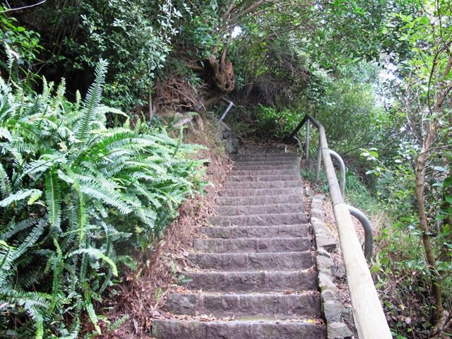
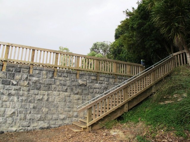
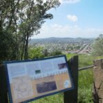
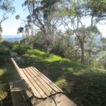
The walk to the Clevedon Reserve lookout, known as the Stairway to Heaven, was suggested to us by some of my wife’s work colleagues and what a great surprise. Large kauri, Kahikatea, Puriri and Puka trees grace the slopes and make for an impressive bush canopy. Plenty of birdlife is enjoyed, as is the view across the Auckland City in the distance and the Hunua Ranges to the East. Adding to the value of this amazing walk is exploring the quaint Clevedon Village.
Continue reading Clevedon Reserve – Stairway to HeavenTag Archives: Boardwalk
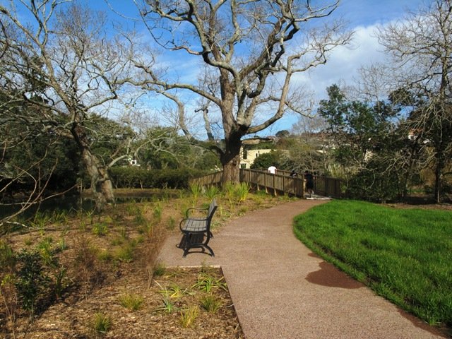
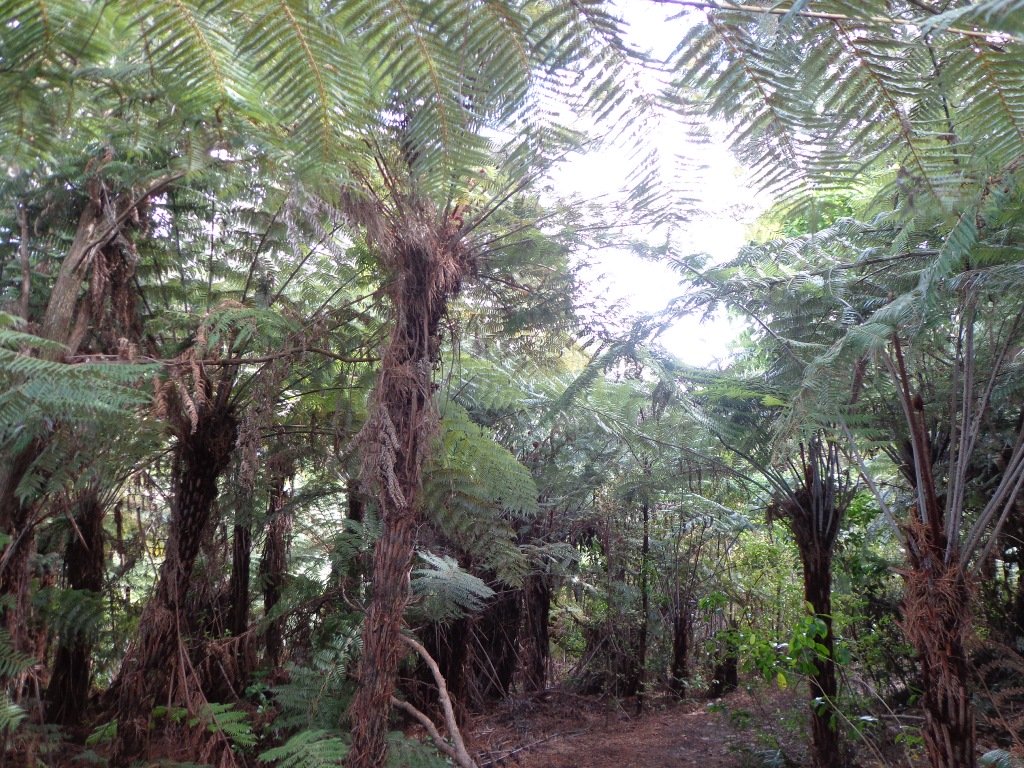
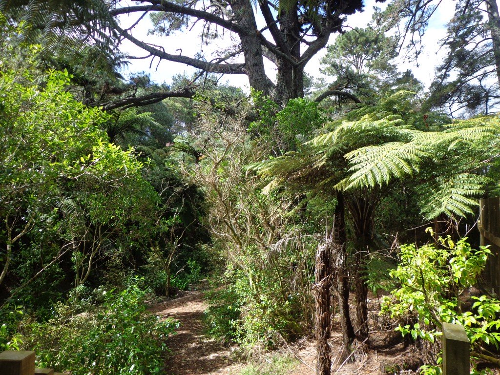
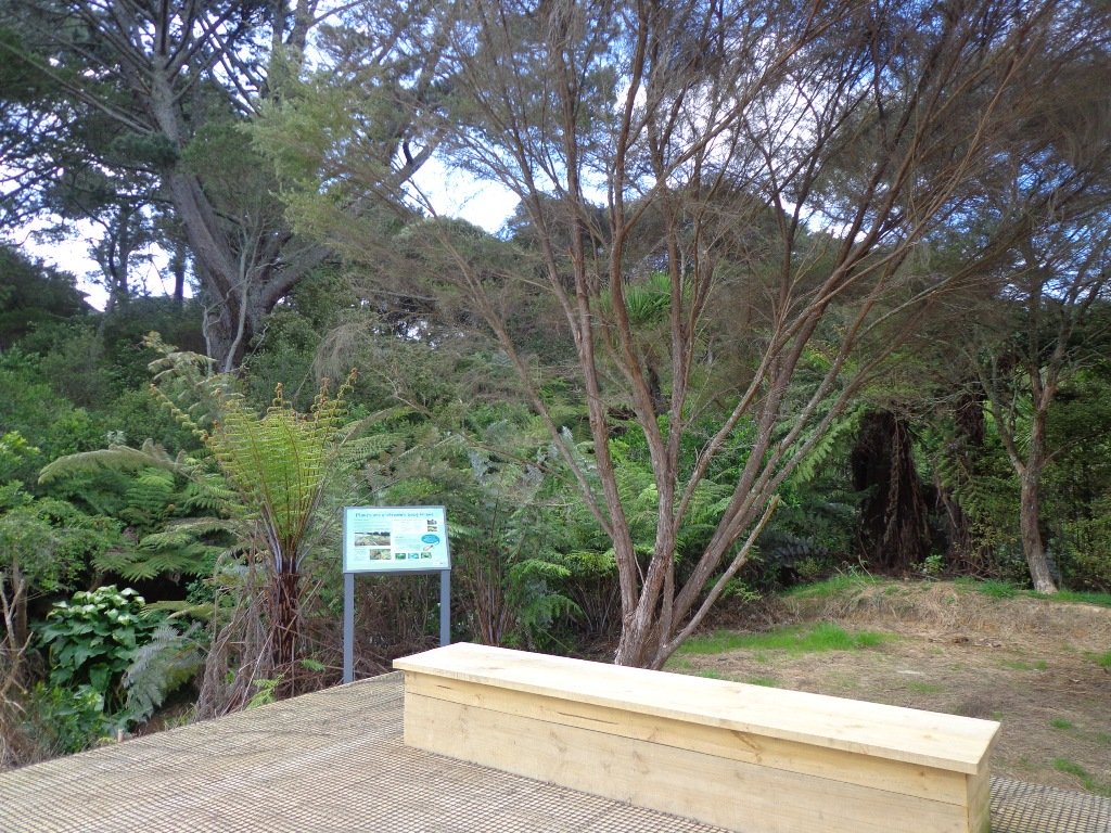
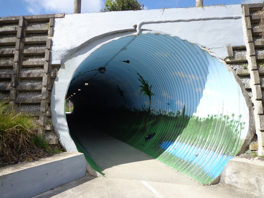
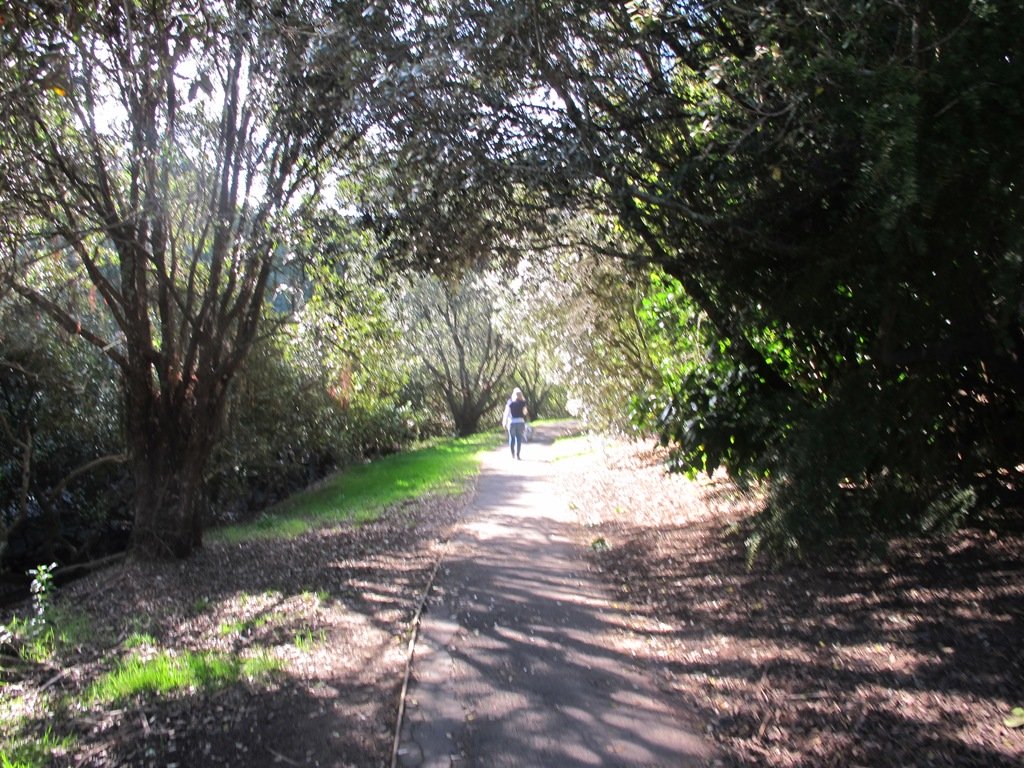
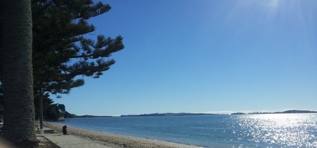
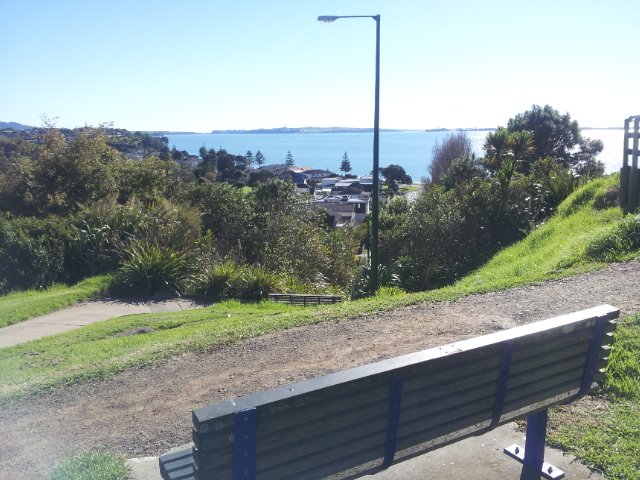
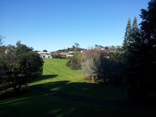
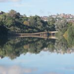
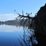
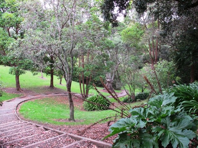
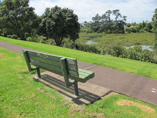
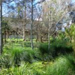
Unsworth Reserve Loop
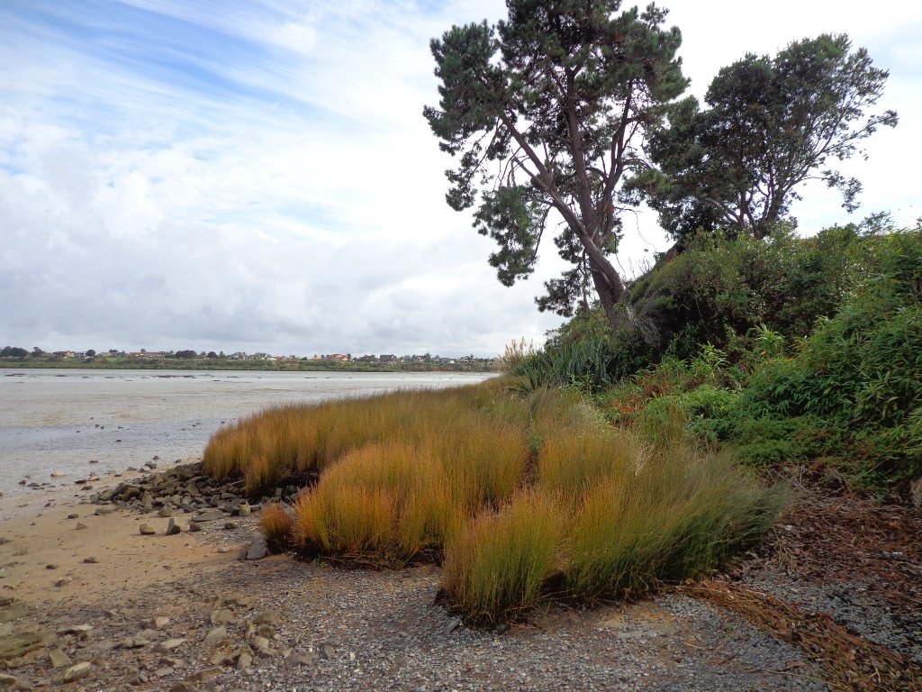
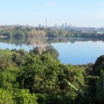
Over the years, we have made many visits to Paul Matthews Road off the Upper Harbour Highway in Albany totally unaware that nearby is the huge Unsworth Reserve with the Alexandra Stream flowing through.
The Alexandra Stream is thought to be named after Princess Alexandra who married the Prince of Wales in 1863.

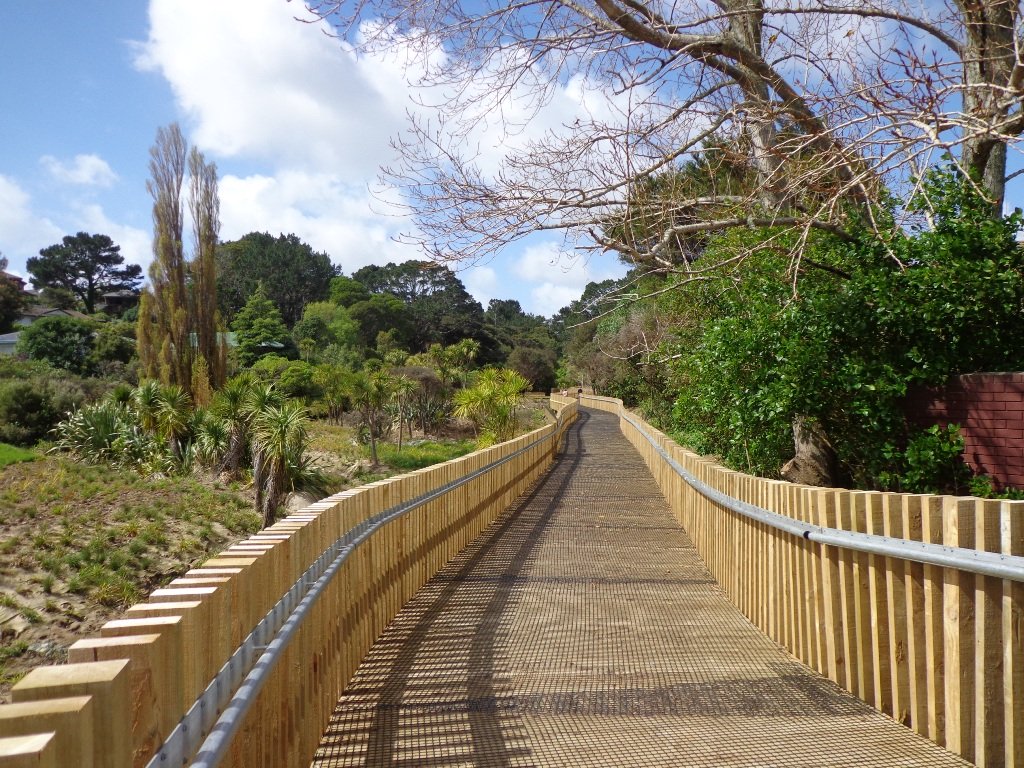
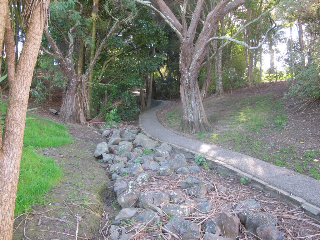
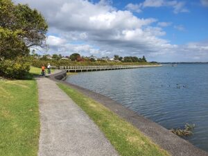
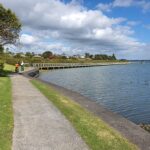
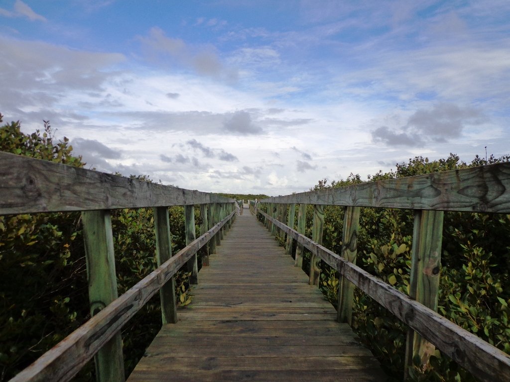
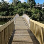
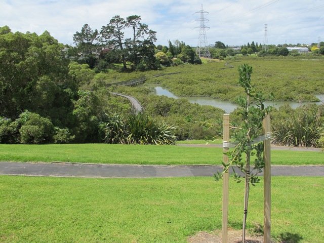
Recently a new board walk/ cycle way has been completed. Obviously we have no idea what was here previously, and can’t imagine how much the project would have cost, but it certainly looks impressive. We hope that it will get a lot of use by recreational and commuting cyclists, pedestrians and joggers. As the many plants and trees grow, it will become a beautiful oasis in the middle of suburban housing.
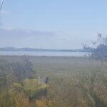
Along the boardwalk are boards – informing us of ways that water quality is being improved, the past fruit cultivation, ways to reduce erosion and plants – the weeds and natives. And we are impressed with the sign posting.
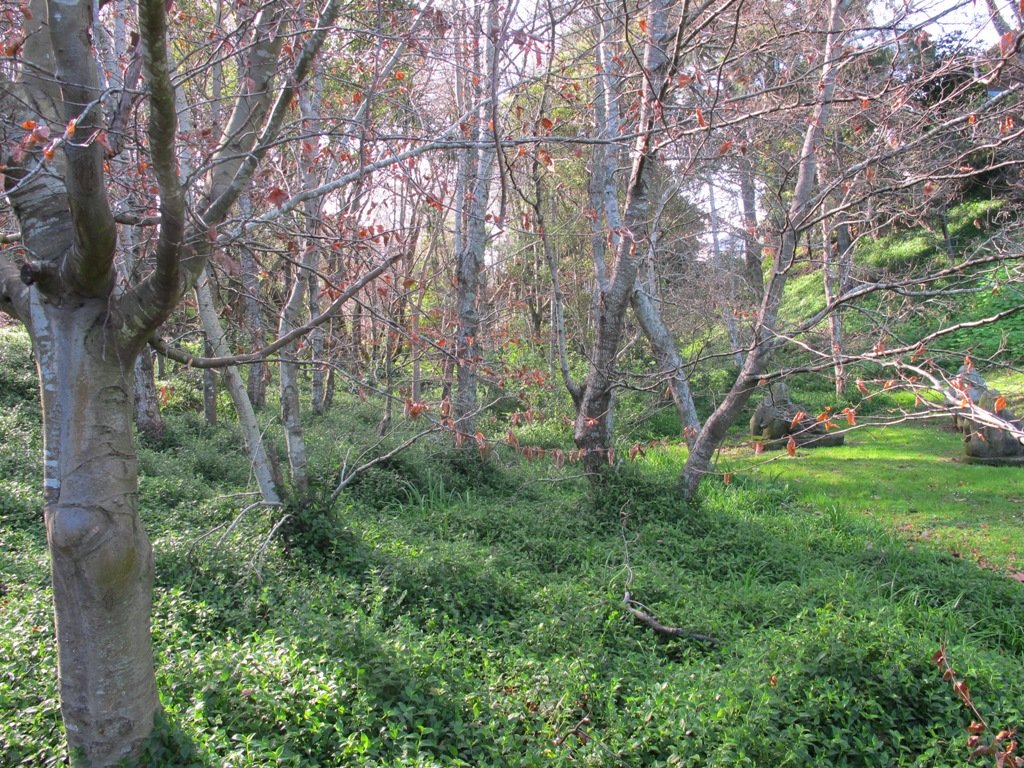
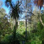
It was fabulous to walk among many silver ferns, ponga ferns and manuka trees beside the untouched paths along the edge of the reserve.
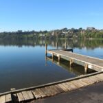
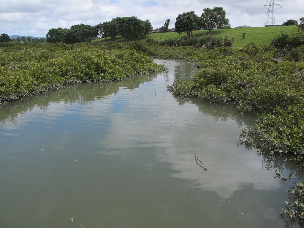
As we were about to return to the industrial edge of the reserve, we were delighted to spot a pair of adult ducks with about 10 to 12 ducklings swimming and feeding among the reeds in the wetlands of the storm water catchment Omega Pond.
Dogs – off leash exercise areas along route.
Updated Walk Description with Google Map
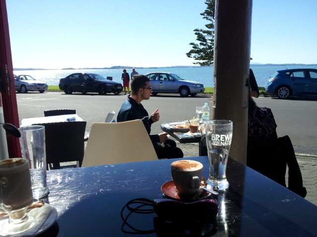
Suggested cafe: Cafe Drina
Description: Mostly level paths.
Suitable for most ages and levels of fitness and mobility, designed with flat shoes or running shoes in mind.
Suitable for wheelchairs and pushchairs/prams/buggies.
To see: Wetlands, park land, ponds.
Time: approx. 60 minutes (about 5.0 kms).
Start: Rosedale Park. MAP
FEEDBACK April 2018: “Having (attempted to) walk the Unsworth loop (North shore) today with baby and pram I can strongly recommend DO NOT do so. Overtime the path has been worn down and it’s almost impossible to do the loop because of the thousands of tree roots.” Please take photos and report to Auckland Council.

Stay on track…get your detailed guide and map (AN-092 Unsworth Reserve Loop) over at our Walks Store and our Book Store (one of 12 walks featured in our book “Dog Friendly Walks part 3”).
Grey Lynn Explorer
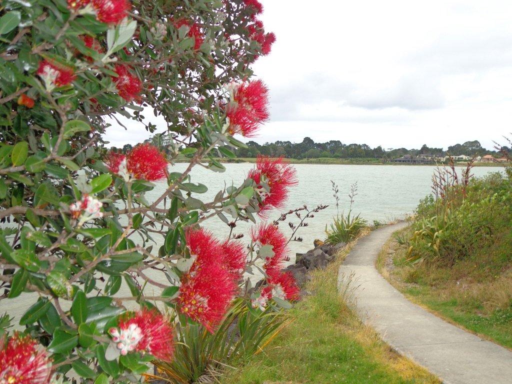
It was time to visit the newly opened (15th June 2013) Cox’s Bay Reserve boardwalk and to incorporate it into another circular walk to add to our collection.

This walk explores both Cox’s Bay Reserve and Grey Lynn Park.
Cox’s Bay Reserve is made up of three parks – Hukanui Reserve where the new boardwalk is, Bayfield Park where you may wish to have your picnic, and the sports fields of Cox’s Bay Park. It is a mini-paradise for dog owners with off-leash dog exercise areas.
And it is family friendly too, with a selection of children’s playgrounds and picnic sites. It is a great place for joggers and people who like to use the outdoor fitness stations.
The wide open spaces, sculptures, playing fields, the creek, mangrove swamps, gullies, the bay itself, a field with cattle and tall mature trees surrounded by interesting residential housing, make this another walk that is full of variety.
Also of interest is the Kelmarna Gardens Nature Trail off Hukanui Crescent – A self-directed nature trail will show you chickens, vegetable gardens, a pony and young cattle, an organic orchard, beehives, worm farm, compost making, native trees and flax. The trail winds its way through the gardens, across paddocks and links to Cox’s Creek Walkway. The gardens were established in 1981 and have been organically managed for 32 years. The land is owned by Auckland Council for the benefit of the whole community.
For history information visit “Meanderings about Cox’s Creek”.
Dogs – Off leash exercise areas in Cox’s Bay Reserve and Grey Lynn Park (check signage for rules).
Description: Paved walkways, steps, inclines and board walks. Suitable for users of average fitness and mobility. (Suitable for prams/buggies excluding the steps).
To see: Sculptures, playing fields, the creek, mangrove swamps, gullies, the bay itself, a field with cattle and tall mature trees surrounded by interesting residential housing.
Time: approx. 70 minutes. (about 5.58 kms)
Parking: Westmoreland Street West off Richmond Road, Grey Lynn.
Buses: Richmond Road, Grey Lynn MAP
Children’s playgrounds. Off-leash dog exercise areas in in Grey Lynn Park and Cox’s Bay Reserve (please read the signs).
Cafe: Bread and Butter

Stay on track…get your detailed guide and map over at our Walks Store (AC-081 Grey Lynn Explorer) and our Book Store (one of 12 walks featured in our book “Dog Friendly Walks part 3”).
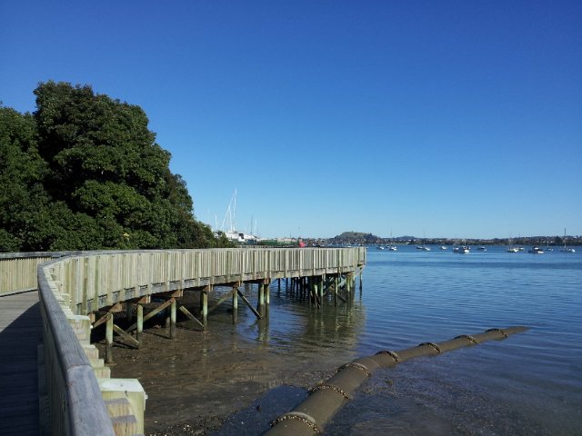
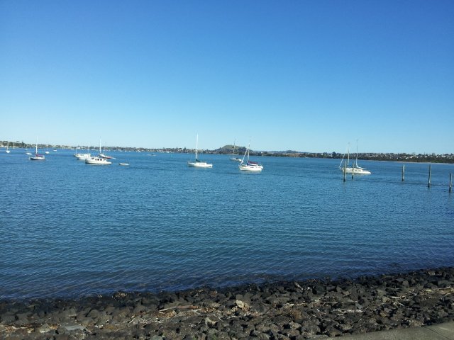
Half Moon Bay East
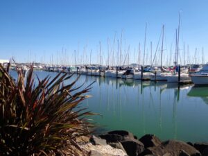
This walk at Half Moon Bay explores the parks and reserves to the east, and then heads down to Eastern Beach. On a sunny day at high tide it is quite beautiful! The new-ish boardwalk, is a great finishing touch as you return to Half Moon Bay.
It was very busy at the Half Moon Bay cafes today – with many people out making the most of the sunny, warm weather and Mothers Day.
Description: Mainly level paths, steep steps and steep slopes. Suitable for users of average fitness and mobility.
To see: Views of Tamaki Estuary, marina, Eastern Beach Esplanade; views of Rangitoto, Mount Wellington and One Tree Hill
Time: approx. 75 minutes. (about 6.0 kms)
Start from: Half Moon Bay Marina MAP

Stay on track…get your detailed guide and map (AE-072 Half Moon Bay East) over at our Walks Store and our Book Store (one of 12 walks featured in our books “Coastal part 2” and “Best of the East”).


Conifer Grove Circuit

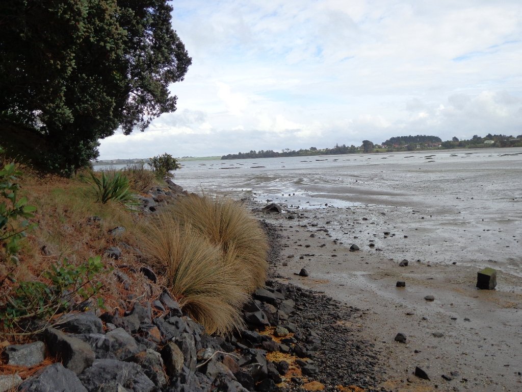
The walk along Conifer Grove Esplanade offers views across Manukau Harbour north to Wattle Downs and south to Karaka.
We met friendly chatty people along the shared walkway/cyclway, many with dogs and children in tow (there is a good selection of children’s playgrounds in the reserves).
Link to open Google Map in a separate tab or tap the icon in top right of this map.
Download a printable version of the Conifer Grove Walkway Printable Google Map.
More information: My Auckland: Conifer Grove
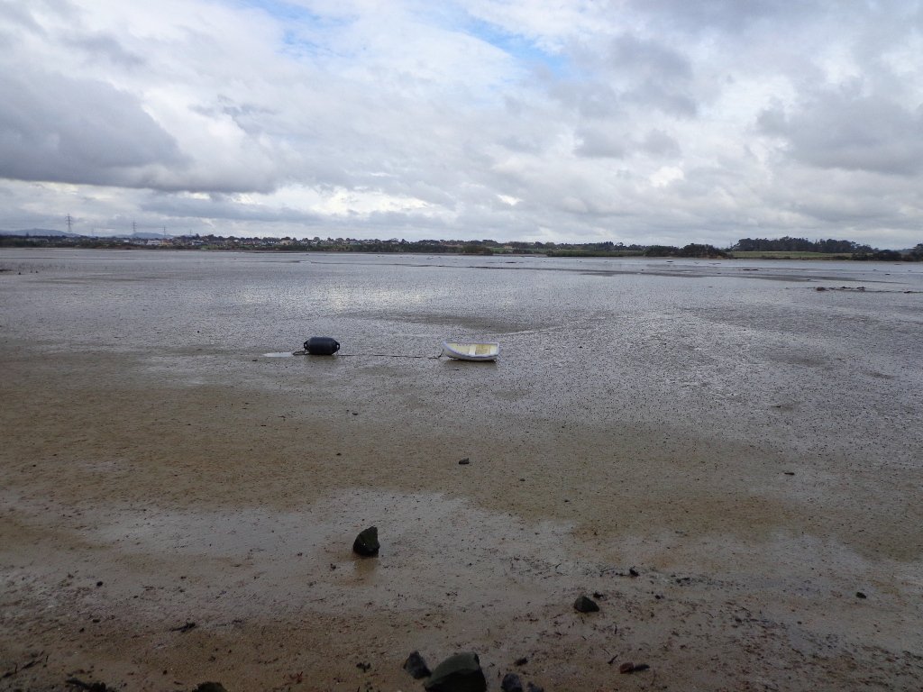
The boardwalk through the mangroves provides a mini adventure for young children (but do keep an eye on them – one child’s scooter took a flying leap into the mud when we were there; luckily the tide was out!).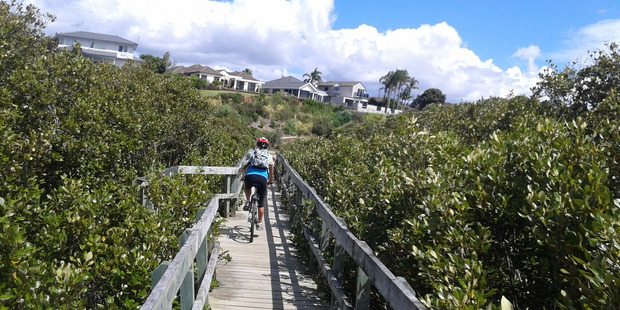
Suitable for family cycling – Brylee Drive Reserve, Takinini, 6km of shared paths.
Description: Mainly level paths, some steps. Suitable for users of average fitness and mobility.
To see: Manukau Harbour views, mangroves, residential homes and gardens
Time: approx. 60 minutes. (about 4.55 kms)
Start: Walter Strevens Drive, Conifer Grove MAP
Stay on track…get your detailed guide and map (AS-069 Conifer Grove Circuit) over at our Walks Store and our Book Store (one of 12 walks featured in our books “Coastal part 2” and “Best of the South”).

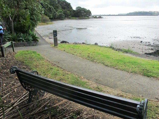
Orakei Basin walkway
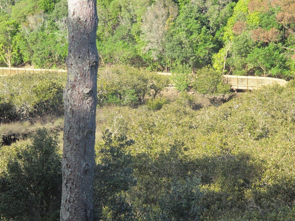
The Orakei Basin walkway upgrade that began in 2010 is complete. The concrete has been poured onto a new pathway on the Macpherson Track. And it is fantastic! The bridge over the Orakei Creek is beautiful. Now Orakei and Meadowbank are connected by a boardwalk along the railway line that both pedestrians and cyclists can use.
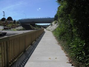
There is a pathway from Orakei Railway station and under Orakei Road that leads directly onto the boardwalk that crosses Orakei Basin beside the railway line. It is now easier to catch the train to Orakei and walk around the basin, then return and stop at the Kings Plant Barn for refreshments at the cafe.
(* Teen friendly walk)
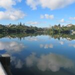
The morning was still, clear and sunny causing the reflections on the water to be almost perfect. This tidal lagoon is in a volcanic crater. It was high tide, which we were not expecting. This walk takes you through small patches of bush and up high onto the ridge for a view of the city skyline.
Description: A mix of level and steep paths, steep steps. Suitable for most ages and levels of fitness and mobility, designed with flat shoes or running shoes in mind. Not suitable for wheelchairs and pushchairs.
This is a dog friendly walk with an off-leash area.(See other Dog Friendly Walks)
To see: Wonderful views of Mt Eden and Auckland City skyline. Small areas of bush. Railway track. Birdlife. Volcano crater.
Time: approx. 45 minutes (about 4 kms).
Parking: Near Kings Plant Barn, off Orakei Road near train station.
Buses: to Orakei Train Station
(Please note: no public toilets)
 Suggested Cafés:Kings Garden Cafe does very good coffee (and lunches) as does Cafe Greenfingers at the Palmers Garden Centre
Stay on track…get your detailed guide and map over at our Walks Store (GS-017 Orakei Basin walkway) and our Book Store ( one of 12 walks featured in our book “Volcanoes”) or…you can download this free Orakei Basin walkway map from Auckland Council.
Hobson Bay Walkway and Parnell

This walk in Auckland is a low tide walk (check the tides here) that takes you around the edge of Hobson Bay, via the Freda Kirkwood Walkway and along the back streets of Parnell finishing at the Shore Road Cafe.
Dog lovers have two reserves that are off-leash exercise areas.
Nature lovers can enjoy the Native Bush in Ayr Reserve (look out for the cheeky fantails).
Parts of the Hobson Bay Walkway includes a boardwalk which hopefully will one day be extended to make this walk accessible at high tide too.
Description: A mix of level paths, steps and slightly inclined paths. Suitable for users of average fitness and mobility. May require boots in wet weather, running shoes suitable in dry weather. NB Low-tide walk only
To see: Hobson Bay views, Rangitoto Island view, mangroves, native bush, fantails.
Time: approx. 60 minutes. (about 5 kms)
Parking: Shore Road, Thomas Bloodworth Park
Suggested Cafe: Shore Road Cafe
Stay on track…get your detailed guide and map over at our Walks Store (AC-034 Hobson Bay Walkway and Parnell Loop) and our Book Store (one of 12 walks featured in our book “Dog Friendly Walks part 3”).

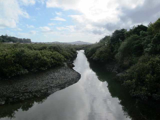

Avondale Whau River walk

The Avondale Whau River walkway from New Lynn, was a new discovery yesterday. The Whau River is almost full of mangroves but it does have a boardwalk going across thanks to Dawn Persson’s commitment to the Avondale Community.
This is a dog friendly walk with an off-leash exercise area and is a mostly flat walk – just one gentle rise after the boardwalk. The walking route is also suitable for prams/buggies.
You may like to pack a picnic or take advantage of the nearby New Lynn Cafes.
Description: A mix of mainly level paths and one slightly steep path. Suitable for users of average fitness and mobility. May require boots in wet weather, running shoes suitable in dry weather.
To see: Water birds, Mangroves, river views, boardwalk
Time: approx. 50 minutes. (about 6 kms)
Parking: Lynn Mall Shopping Centre Carpark

Stay on track…get your detailed guide and map (AW-030 Whau River Loop) over at our Walks Store and our Book Store (one of 12 walks featured in our books “Dog Friendly Walks part 2” and “Best of the West“).


Mt Albert and Meola Creek circuit
Today I was shown an interesting waterway – Meola Creek. It is hidden between the St Lukes shopping hub and Mt Albert Grammar School. Meola Creek is the result of run-off from Mt Albert, Mt Eden and Three Kings and runs over and under ground (in pipes) out to Waitemata Harbour at Meola Reef.

The St Lukes Environmental Protection Society (STEPS) has been very active getting Meola Creek clean, the area planted with natural habitat and a boardwalk built (Roy Clements Treeway). Elizabeth Walker, a member of STEPS very kindly showed me around. This historic map clearly shows Meola Creek. Elizabeth has since shown me one of the sources of Meola Creek – an overgrown area covered in toxic weeds, behind Haverstock Road. It would be wonderful to see the area restored to allow more water fowl to live there.
The view from Mt Albert across to the city skyline and the top of Rangitoto Island shows how spread out the city of Auckland is. There is an off leash dog area in Kerr-Taylor Park and a fenced off-leash area at the top of Mt Albert. (See other Dog Friendly Walks)
HISTORY. Nearby is the historic mansion ‘Alberton‘ on the corner of Kerr-Taylor Avenue and Mt Albert Road. Further historical information can be found in the archives of the Mt Albert Historical Society here and here. ‘In old Mt Albert’ by Dick Scott (this book is available from Auckland Libraries) tells the history of Mt Albert from 1911 to 1961. You may wish to download the Mount Albert Heritage Walks brochure.
To see where Meola Creek spills out into Waitemata Harbour head to: Western Springs and Meola Reef
Description: A mix of level paths and steep paths/steps. Suitable for users of average fitness and mobility. May require boots in wet weather, running shoes suitable in dry weather. Caution: Muddy and slippery when wet.
To see: Volcano crater, boardwalk and water birds, reclaimed creek vegetation, Auckland City views, Waitemata Harbour views, glimpses of Manukau Harbour and the Waitakere Hills.
Off leash dog areas. Children’s playground.
Time: approx. 60-75 minutes, about 5.4 kms. MAP
Suggested cafes: Pyrenees French Delicatessen and Parkside Cafe
Stay on track…get your detailed guide and map over at our Walks Store (AC023 Mt Albert Meola Creek) and our Book Store (Volcanoes).


Mt Albert is featured in our book “Volcanoes”. Available from Amazon– Short Walks in Auckland: Volcanoes (and on Kindle)
Remuera and Hobson Bay Walkway Circuit

I really enjoy the diversity of Auckland at large and it is also a pleasure to find a walk that contains diversity within a small area. This walk in Auckland, takes us from the ridge of Remuera Village, down to the edge of Hobson Bay walkway, onto a boardwalk amongst the mangroves via reserves and the Remuera mansions. You really get to know a city when you walk – we miss so much when we travel by car. This walk reveals some hidden Auckland gems.
Waiata Reserve is tucked in between Victoria Avenue and Orakei Road – a beautiful large space – this is a dog friendly walk with an off-leash area.

Cafe Greenfingers at Palmers Garden Centre on Shore Road is a great little cafe – the coffee is very good and so is the food.
This walk is one to do if fitness is a criteria – there is a decent uphill. It can also be done in all weathers as all the paths are paved.
Description:A mix of level and steep paths. Suitable in all weather. Suitable for most ages and levels of fitness and mobility, designed with flat shoes or running shoes in mind. Not suitable for wheelchairs.
To see: Remuera mansions, park with mature trees, character shopping street with cafes and restaurants, mangrove trees, water views, ducks.
Time: approx. 60-90 minutes depending on pace.
Start: Waiata Avenue off Victoria Avenue. MAP
Stay on track…get your detailed guide and map brochure (AC-015 Remuera to Hobson Bay) over at our Walks Store and our Book Store (one of 12 walks featured in our books “Coastal part 1” and “Dog Friendly Walks part 2”).