Tag Archives: family cycling

Westhaven Promenade

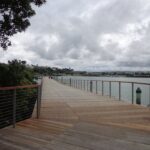
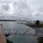
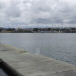
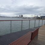
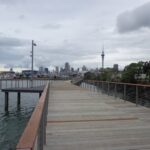
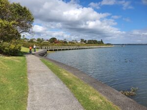
Without any obvious fanfare, the Westhaven Promenade unofficially opened yesterday (30th January 2015) for walking and cycling. And it is magnificent. Wide and spacious with wonderful views of our City of Sails. It really brings us close to the waterfront and we hope that many people will enjoy this facility. (Officially opened on the 16th February 2015).

Westhaven Promenade - short walks in Auckland
Taking in the view along Westhaven Promenade.


We have two walks that include the Westhaven Promenade: Point Erin and Auckland Harbour and Westhaven Loop Walk. The Promenade currently links The Sitting Duck Cafe and Beaumont Street (opposite Victoria Park).

The next stage is an interim cycle path to link North Wharf to this new boardwalk, as announced by Auckland Transport. This will form part of a 20km continuous walkway and cycleway that runs from Herne Bay in the west to Tamaki Drive in the east.

Read more: Development plans for Westhaven  News  Technical Bits and pieces

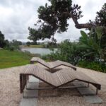
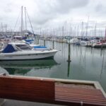
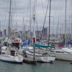
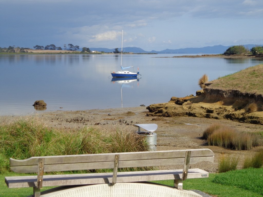
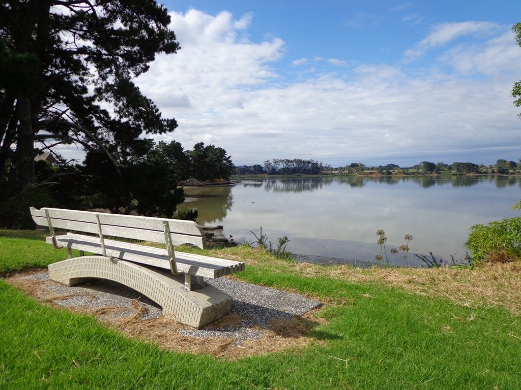
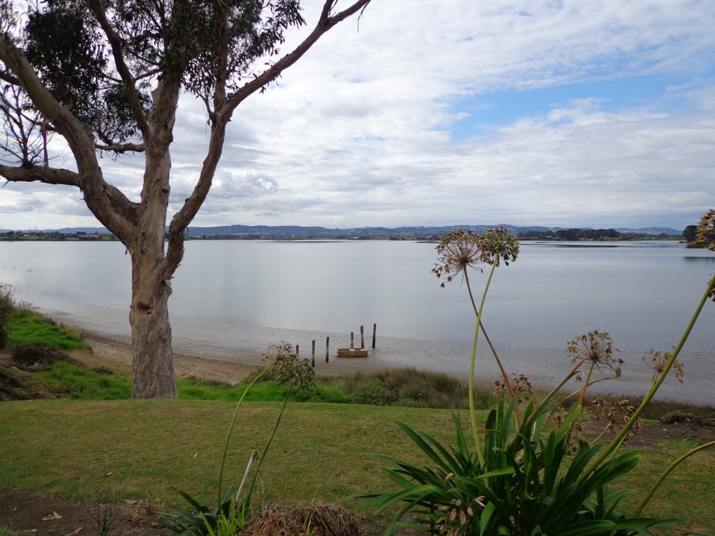
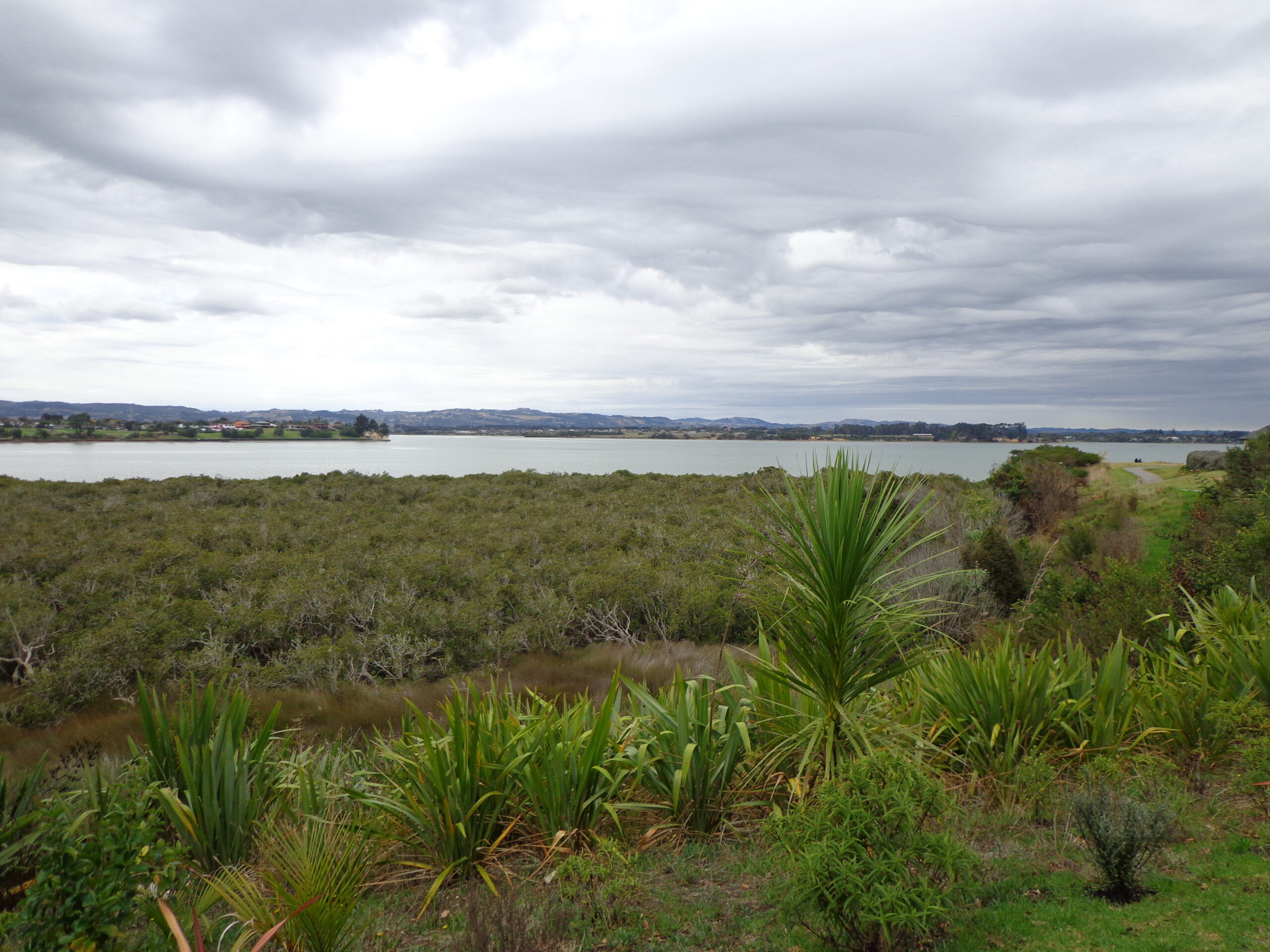
Meanwhile, here are some photos of Westhaven Promenade to entice you to go and take a walk!

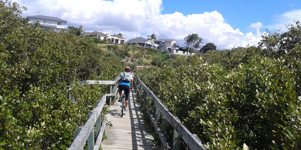
Also suitable for family cycling:From Auckland Harbour Bridge to Wynyard Quarter. 2km.

Conifer Grove Circuit

Conifer Grove Circuit © 2013 Unleashed Ventures Limited. All rights reserved

The walk along Conifer Grove Esplanade offers views across Manukau Harbour north to Wattle Downs and south to Karaka.

We met friendly chatty people along the shared walkway/cyclway, many with dogs and children in tow (there is a good selection of children’s playgrounds in the reserves).

Conifer Grove Walkway
Conifer Grove Walkway and Water

Link to open Google Map in a separate tab or tap the icon in top right of this map.

Download a printable version of the Conifer Grove Walkway Printable Google Map.

More information: My Auckland: Conifer Grove
The boardwalk through the mangroves provides a mini adventure for young children (but do keep an eye on them – one child’s scooter took a flying leap into the mud when we were there; luckily the tide was out!).

Suitable for family cycling – Brylee Drive Reserve, Takinini, 6km of shared paths.

Description: Mainly level paths, some steps. Suitable for users of average fitness and mobility.
To see: Manukau Harbour views, mangroves, residential homes and gardens
Time: approx. 60 minutes. (about 4.55 kms)
Start: Walter Strevens Drive, Conifer Grove  MAP

Stay on track…get your detailed guide and map (AS-069 Conifer Grove Circuit) over at our Walks Store and our Book Store (one of 12 walks featured in our books “Coastal part 2” and “Best of the South”).

Wattle Downs Walkway

Wattle Downs in South Auckland was another new area for us to explore. The Wattle Downs Walkway goes around the edge of the peninsula that extends into Manukau Harbour, at one spot there are views through to Manukau Heads.
The day was very calm – the water was like a mirror, and there were also threatening grey clouds hanging overhead.
The walking route is also great for cyclists, prams/buggies and dog walkers (on leash and off  leash dog exercise areas).

Wattle Downs walkway © 2013 Unleashed Ventures Limited

There are many points of interest along the way, and friendly people to say hello to. We stopped and spoke to a resident whose house looked out towards Manukau Heads – he told us that they get to view amazing sunsets over the harbour.

There are wetlands and ponds active with shore birds – if you are a keen bird watcher be sure to take your binoculars.

The only thing missing in the area is a cafe.

UPDATE March 2015 ** The shared walkway/cycleway has been extended from Hadley Wood Drive to Aberdeen Crescent.


Suitable for Family cycling: Frangipani Ave to Bluewater place, 10km each way.

Wattle Downs Public Toilets

Description: Mainly level paths, one set of steps (which can be avoided). Suitable for users of average fitness and mobility. Suitable for cyclists.
To see: Manukau Heads, Manukau Harbour, Wattle Farm Wetland Reserve, shore birds
Time: approx. 100 minutes (about 8.7 kms). Dog off-leash areas. Childrens playgrounds. No cafe. Public Toilets may not be open due to vandalism issues (see image below).
Start from: Wattle Farm Reserve MAP

Stay on track…get your detailed guide and map (AS-067 Wattle Downs Loop) over at our Walks Store   and our Book Store (one of 12 walks featured in our books “Coastal part 1”, “Dog Friendly Walks part 1” and “Best of the South”).

(Click on the photos to enlarge)

The Cascade Walkway

The Cascade Walkway (7.5km of shared paths between Meadowland Drive and Lloyd Elsmore Park, Pakuranga)  is another area that has been on our list to explore.  We set out from Howick Historical Village hoping to find well sign-posted walking paths. The best we found was a post with two arrows on it! (New signage has been installed since our first visit).

The Cascade walkway map

The paths are great for cycling and walking (with your dog and/or your children).  There is diverse birdlife and native plants and trees. We were surprised by the lack of picnic/BBQ facilities, public toilets and children’s playgrounds within the Cascade Reserve.  However, we did come across 3 children’s playgrounds in total, making this a short family friendly walk.

walksinauckland.com

Near the Historical Village is an area to play with marbles, and another area for kids to ride their bicycles on a specially made track. There is a duck pond  and some bench seats along the walkway nearby.
We had lunch and coffee at the Homestead Cafe (the homemade bacon and egg quiche was very tasty).

You can find the Auckland Council’s information on the Cascade Walkway here.

Dogs – off leash exercise areas available (see more Dog Friendly Walks)

Suitable for family cycling:Between Meadlowland Drive and Lloyd Elsmore Park, Pakuranga, 7.5km.

Description: Mainly level paths and a few slightly inclined paths. Suitable for users of average fitness and mobility. Mostly concrete paths with a small stretch of dirt track under trees. Buggy/pram friendly.
To see: Creeks, birdlife, small waterfall, bridges, tunnel. View of Rangitoto Island, Pigeon Mountain, Mt Wellington, Waitakere Ranges and One Tree Hill
Time: approx. 75 minutes. (about 6 kms)
Start: Bells Road off Cascades Road/Pakuranga Road MAP

Stay on track…get your detailed guide and map of the AE-040 Cascade Walkway Loop at our Walks Store and our Book Store (“Dog Friendly part 3” and “Best of the East”).


Watch this video to get a taste of Cascades Walkway: