Pigeon Mountain Volcano

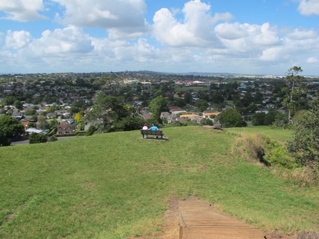
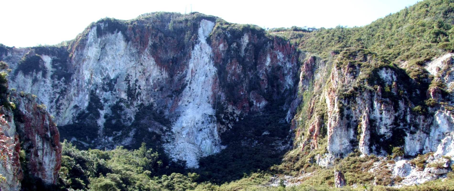
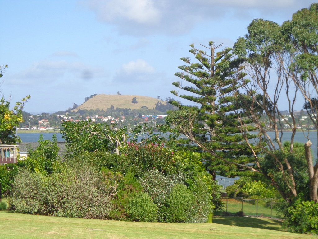
The mountain was originally three times its present size but its two craters have been quarried away to provide scoria. It is called Pigeon Mountain because, in early European times, native pigeons called ‘kereru‘ used to live here.

View from Pigeon Mountain

Quick facts about this walk

Walk time: approx. 1 hour & 15 minutes.
Distance: about 6 kms
Start from: Gills Road just off Pigeon Mountain Road
Track: A mix of level paths, steps and slightly inclined paths.
Difficulty: Suitable for users of average fitness and mobility. May require boots in wet weather, running shoes suitable in dry weather.
Highlights: Auckland City views, Rangitoto Island views, Volcano summit, wetlands, Pukeko birds habitat.
Dog Friendly: Bird Reserve Area, Dog kept on Leash
FREE Map: Download your FREE map of this walk
The Hobbiton Movie Set Day Tour - Ex Auckland

The Hobbiton Movie Set Day Tour - From Auckland

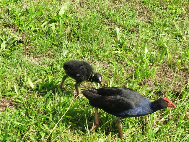
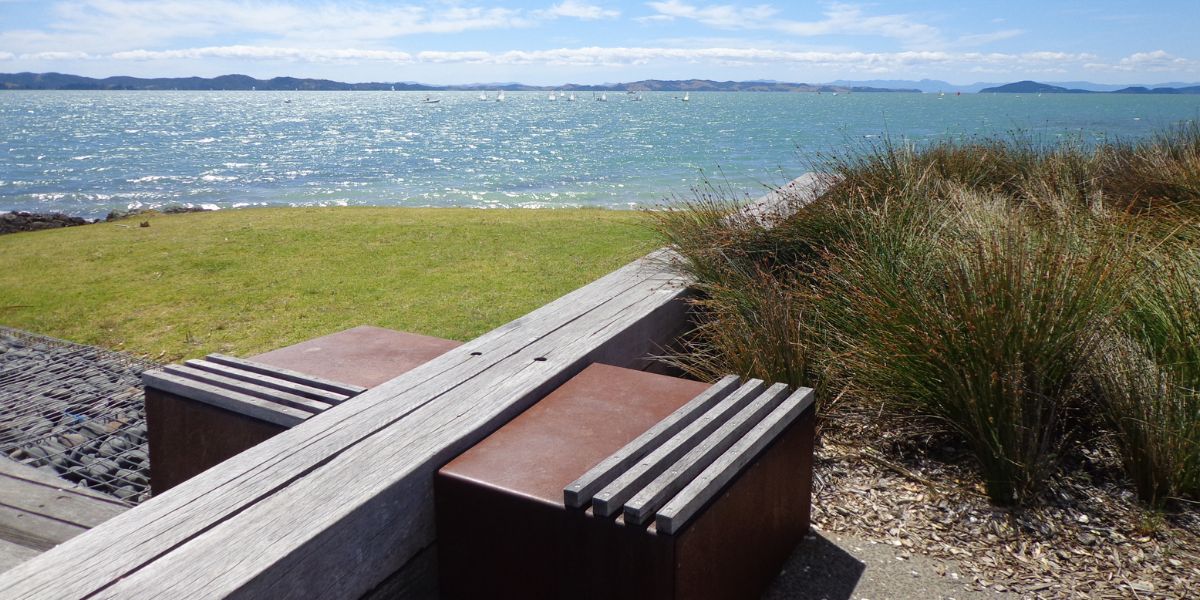
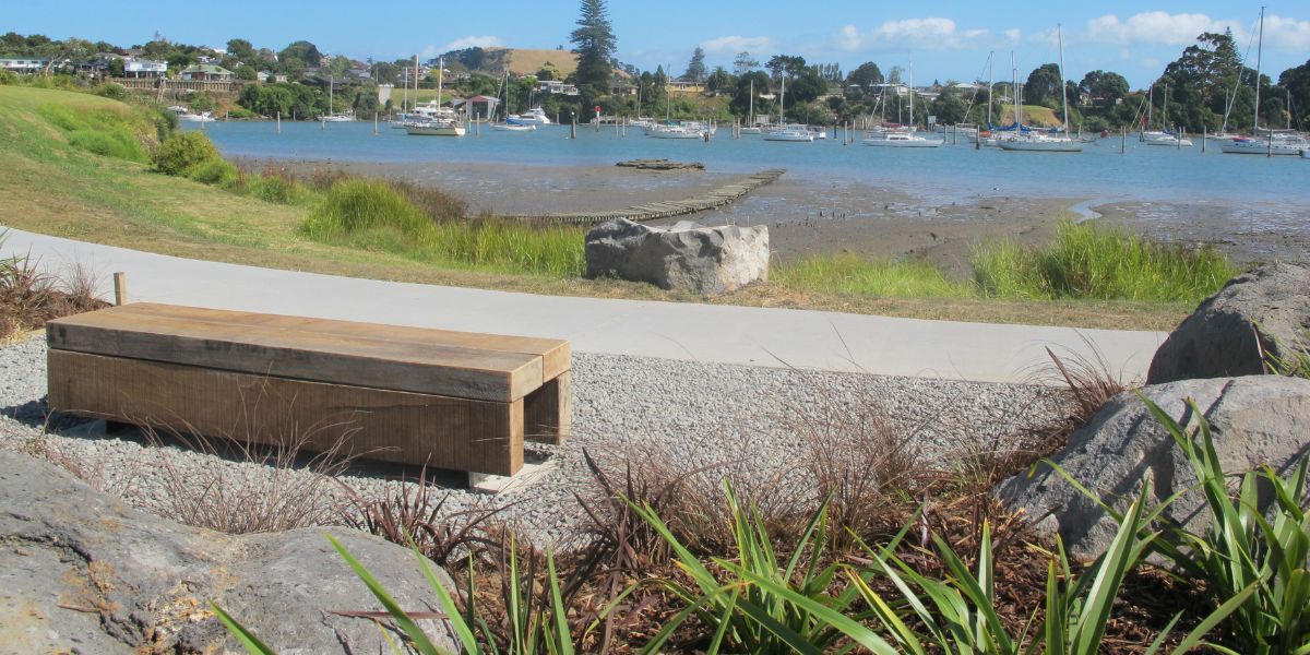
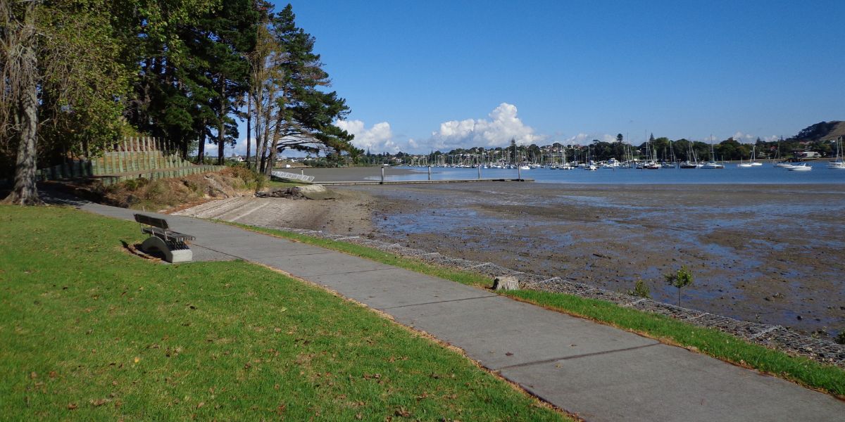
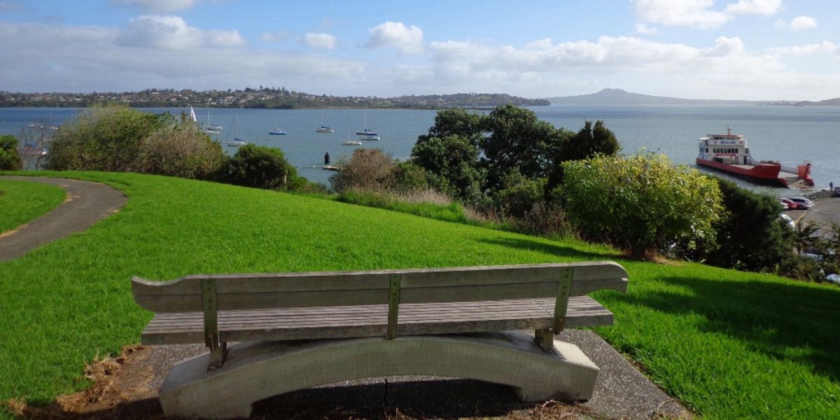
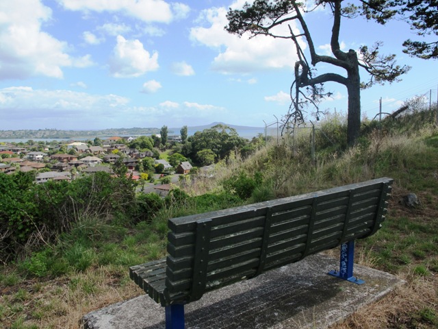
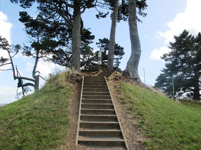
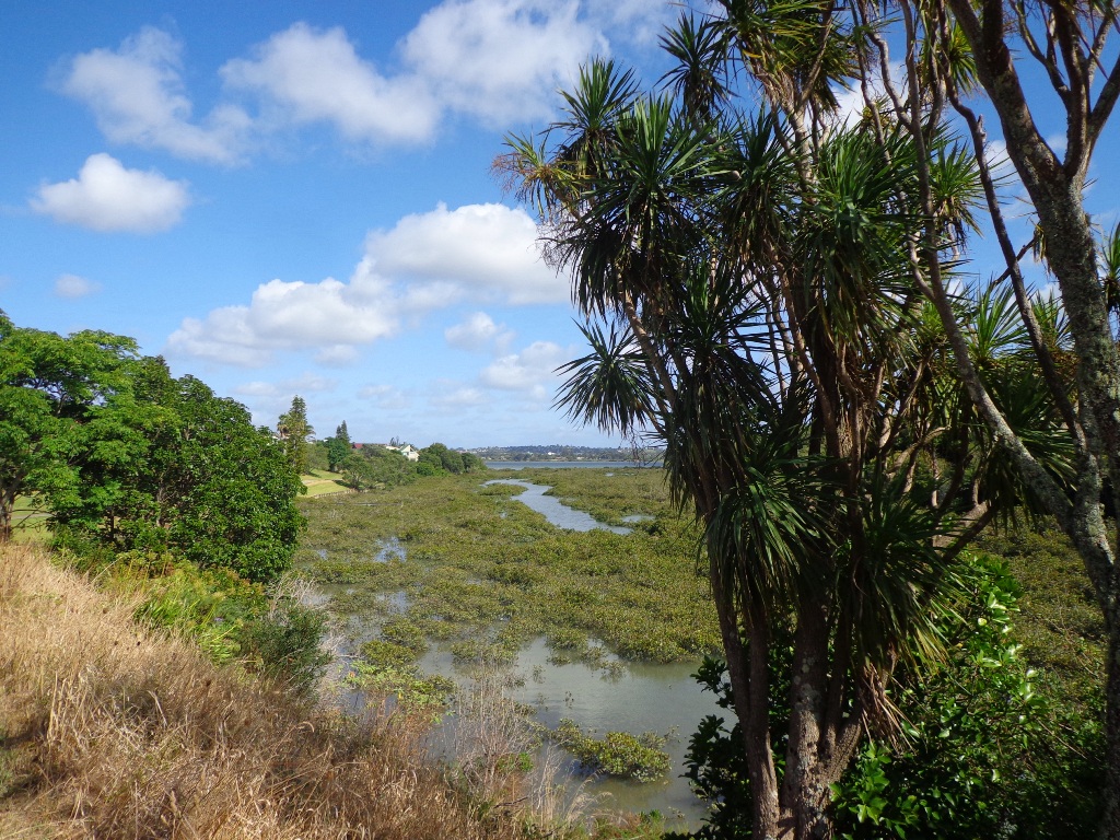
You can walk to the top of Pigeon Mountain and from the summit there are great views of Tamaki Estuary and Wakaaranga Creek Reserve mangroves. While below are boardwalks that cross over wetlands that house nests for the pukeko bird.

Follow the link to the Google Map of Pigeon Mountain and the associated  Wetlands walk.  We also have a second walk option for these areas here. 

Follow this link for the Auckland alternate Pigeon Mountain Walk.

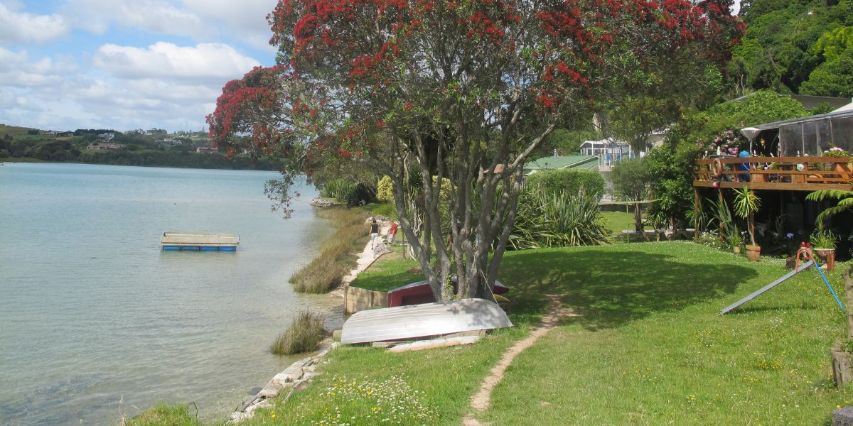
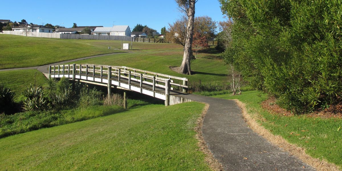
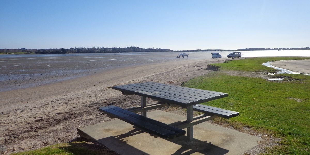
The nearby mangrove edged Wakaaranga Creek has good paths for wheels.  And there is a cool long slide in a playground that is worth checking out. Because most of this walk is in a bird reserve, dogs must be kept on-leash. 

estuary bird at pigeon mountain

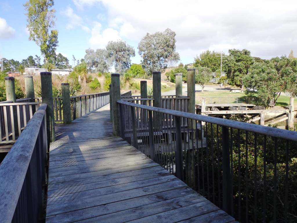
However, if you choose to follow the 5km Pakuranga Rotary walkway, there are several areas for off-leash exercise between the Pakuranga Sailing Club and Wakaaranga Reserve. This is a mostly flat walk if the walk to the summit of Pigeon Mountain is omitted.

Be aware that some pathways between houses and roads are iron bar chicanes that make it more difficult for wheelchairs, prams and cycles to use the path.

Photos from my walk along the Pigeon Mountain and the Wetlands Loop Walk

More of my walks near Half Moon Bay in East Auckland

Maraetai and Omana Loop Walk

Maraetai and Omana Loop Walk

5 km • Medium • Today was our first walk around the 3 km perimeter of Omana Regional Park near Maraetai (pronounced my-right-eye).
Walk details →
Mangemangeroa reserve walking along the coastal bush track

Mangemangeroa Reserve Walking Track

5 km • 1 hour • Very Easy • The Mangemangeroa Shelly Park Beach Path walk was a totally new discovery for us today.
Walk details →
walkpath Wades Walkway Whitford

Wades Walkway Whitford

3.36 km • 60-70 minutes • Medium with stairs • Wades Walkway at Whitford is a little gem that we hope will be developed further ...
Walk details →
Lovely garden on the Farm Cove walk in Auckland

Coastal Rotary Walkway Pakuranga

10.5 km one way • 1 - 5 hours • Mostly flat walk • One of East Auckland’s most scenic and popular walkways, the coastal ...
Walk details →
A man with his dog sitting on the bench chilling at the Churchill Park

Churchill Park Loop

5 km • 1 Hour • Easy • Churchill Park is one of a few walks in Auckland that does not have much shelter, so ...
Walk details →
Bench seat on the Tahuna Torea Nature Walk

Tahuna Torea Nature Walk

45 min walk • Easy • Check tides • Tahuna Torea is a beautiful nature reserve and wetland (salt marsh and freshwater habitat) in Glendowie, ...
Walk details →
Bench seat overlooking the beach at Macleans Park

Macleans Park and Eastern Beach

4 kms • 1 hour • Easy • Today we explored Macleans Park and Eastern Beach – an area that was new to us.
Walk details →
One of the walk bridges on the Cascade Walkway in Pakuranga

The Cascade Walkway

The Cascade Walkway - 7.5km of shared paths between Meadowland Drive and Lloyd Elsmore Park, Pakuranga - 1 hour 15 mins.
Walk details →
Bench seat on the Pakuranga walkway looking out to the harbour with the boats

Pakuranga Loop Walk

Part of our Pakuranga Loop Walk is along the Pakuranga Rotary Walkway which extends to Pigeon Mountain, along the Tamaki Estuary and Whakaaranga Creek.
Walk details →
Walkway along Tamaki Estuary on the Pakuranga Kentigern Loop walk in East Auckland

Pakuranga Kentigern Loop

Today we set out to explore another part of the Pakuranga Rotary Walkway, this time taking a loop behind Saint Kentigern College and through Manor ...
Walk details →
Views from the bench seat overlooking Tamaki Estuary in East Auckland

Pakuranga Farm Cove Loop

We have now added a fourth loop walk taking in the wonderful Pakuranga Rotary walkway.
Walk details →
Views from the bench seat at Half Moon Bay in East Auckland

Half Moon Bay West

Half Moon Bay was bathed in sunshine this morning – very welcome after a week of rain.
Walk details →