Beautiful spring sunshine, great friends, our dog and a simply wonderful track and environment. Today we enjoyed walking the long-version of the Puhinui Stream Forest Loop – great native bush, parklands of Totara Park and a picnic – the kids even had a swim in the stream, not really a swimming paradise but lots of fun!
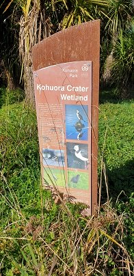
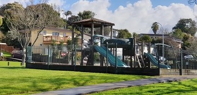
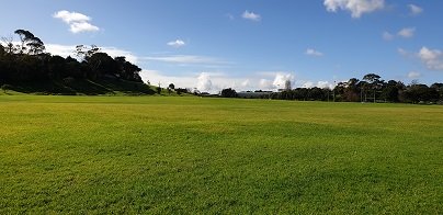
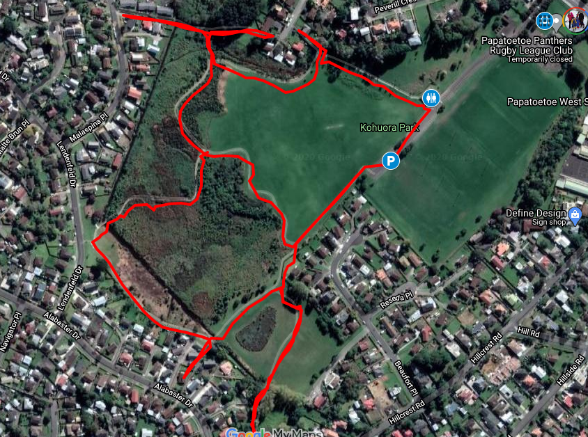
This is one of our smaller loop walks but a delightful one, boasting native bush and many birds. Kohuora Park is full of surprises – not only is it one of Auckland’s 50 volcanoes but is the home of the Papatoetoe Panthers Rugby League Club. The kids will also enjoy the playground.
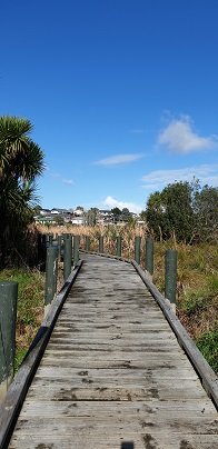
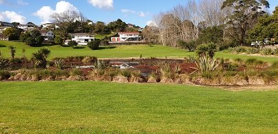
Enjoy the elevated boardwalk through the wetland
The volcano at Kohuora Park is about 600m across and defined by a tuff/rim that is about 30m high, some of which still remains today. The track is mostly flat and incorporates paved walkways and boardwalks.
Kohuora Park is one of Auckland’s hidden parks, probably one only known by locals and rugby league fans – it is the home ground of the Papatoetoe Panthers Rugby League Club. It is also one of Auckland’s 50 volcanoes, measuring about 600 meters across and 30m deep.
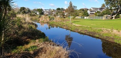
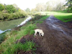
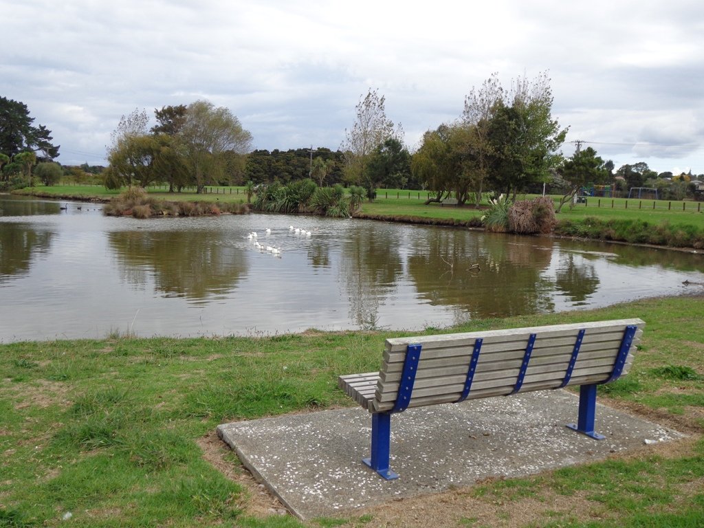
The tracks consist of primarily two large loops that thread their way between native bush and grass fields. The walkways are paved or boardwalk and mostly flat, with just some smaller undulations. There are marshlands that can in places overflow sections of the track in seasons where there is heavy rain – certainly, there were aspects of the track that were underwater when we completed it but it was still all passable. The local ducks were celebrating :).
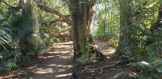
Kohuroa Park Native Bush and Birds
We commenced our walk at the carpark closest to the tracks and walked clockwise. If you have the time, make the effort to complete the outer circuit, approximately about 2km – its a peaceful native bush walk, interrupted by plenty of wonderful birdlife – pukeko, kingfisher, white-faced herons and more waders. The northern part of the track contains a little undulation as it rises up some of the crater tuff.
The Tohuora Park can via the Papatoetoe Train Station, with just a few minutes walk.
Buggies/Wheelchairs
This walk is great for buggies and wheelchairs due to its relatively flat nature and paved walkway.
Dog Friendly
Kohuora Park is suitable for dogs and includes an off-leash dog area also. As with all Auckland Parks, dogs should not be on the sports fields.
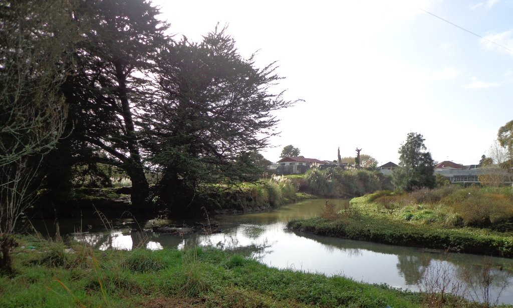
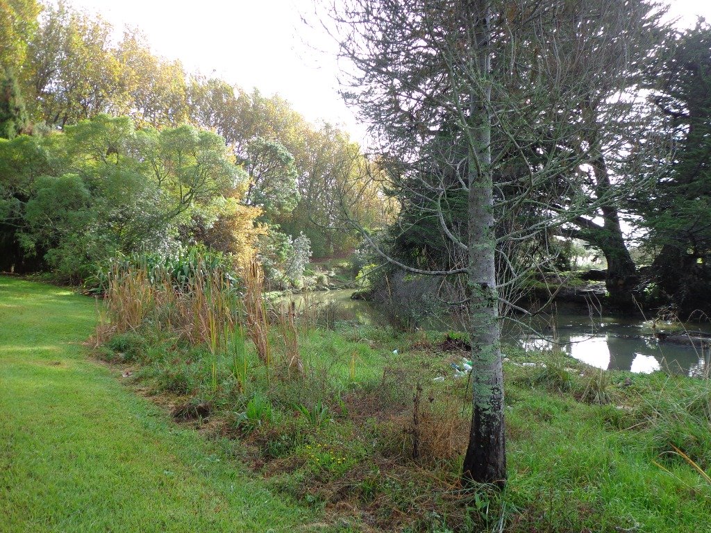
This walk is through an extensive site of native bush alongside Totara Park & the Manurewa Botanical Gardens is beautiful, challenging and interesting. The most common access for this loop track is from Everglade Rd, which has plenty of parking. An interesting aspect of this walkway is a large flight of stairs at the turn-around point of the loop. The northern side of the track has a number of steeper sections and more stairs. The southern side of the track is largely flat and follows the Puhinui Stream. Continue reading Puhinui Stream Forrest Walk→
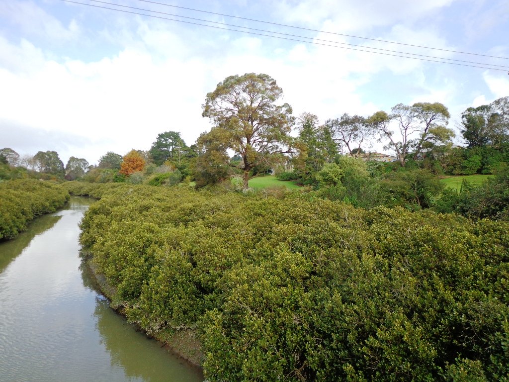
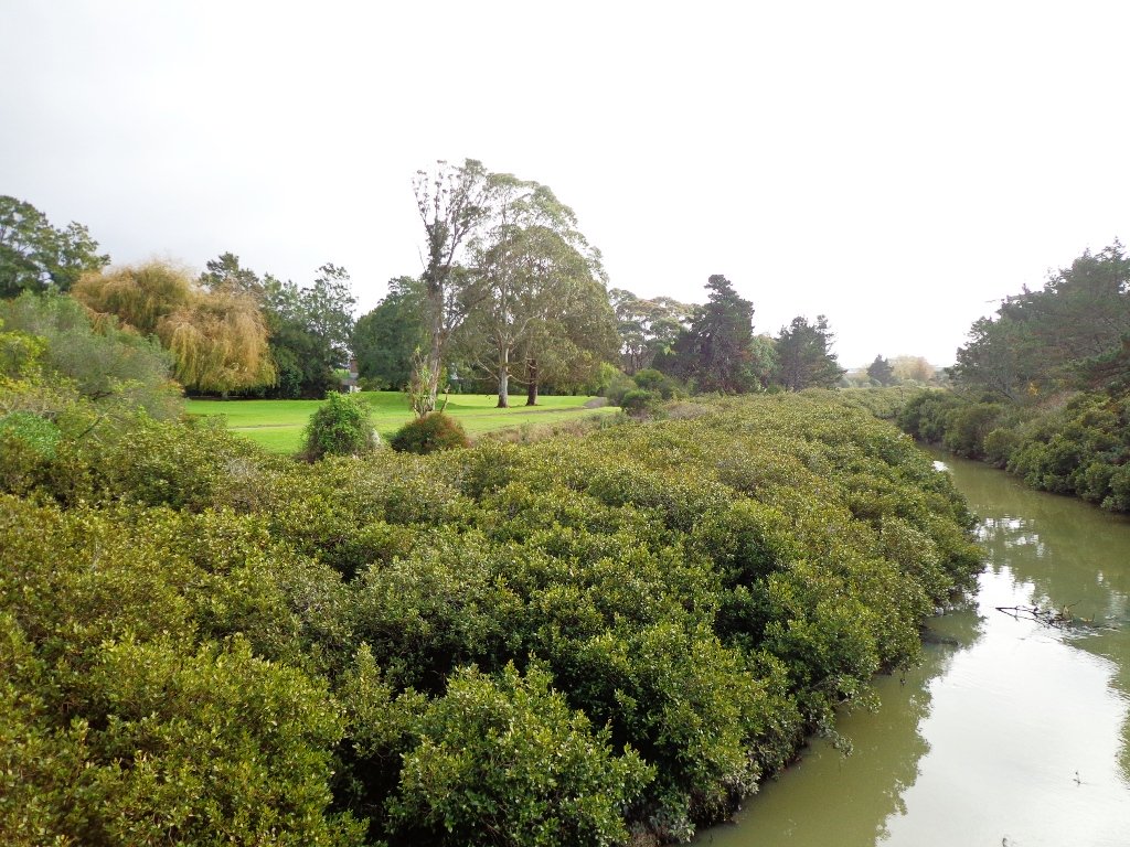
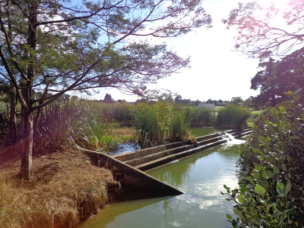
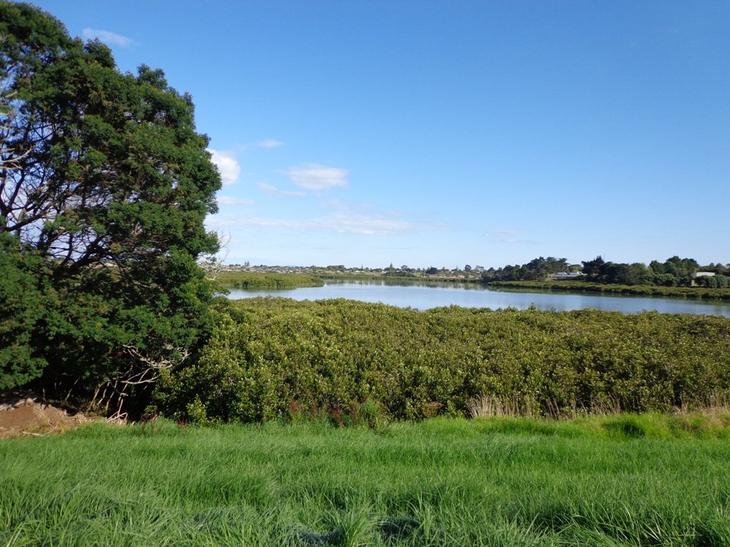
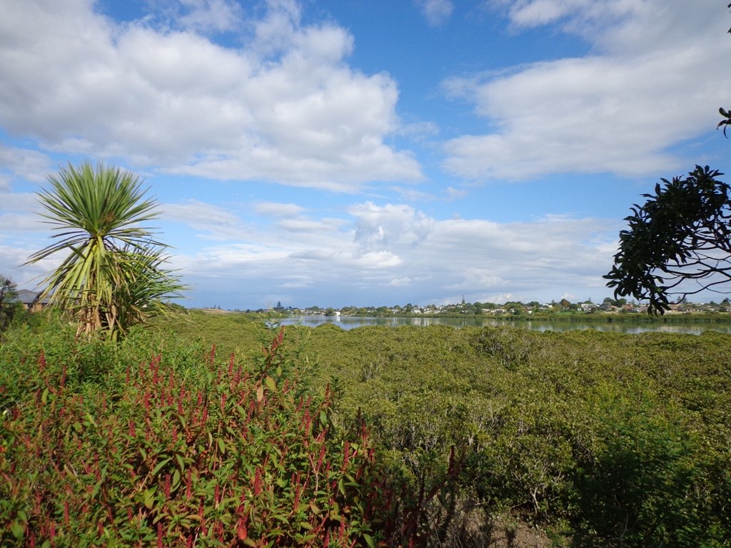
The Otara Creek Walkway in South Auckland, passes through some 220 hectares of waterway/tidal mudflats and forms a green corridor within Otara township.
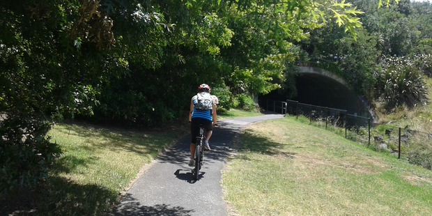
This huge reserve was almost empty today; we saw two cyclists and one stray dog.
This walkway is ideal for family cycling and for taking your dog for an off-leash walk. (Dogs are welcome along the walkway provided they are kept under control and do not disturb wildlife or other park users. Dogs are not permitted on sport fields or near children’s playgrounds.)
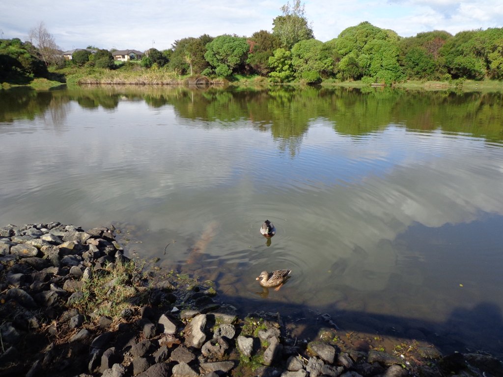
The creek has mangrove mud flats and is sadly polluted – the locals seems to take delight in dropping shopping trolleys into the creek. However, if you can overlook the neglect, you may find enjoyment in the bigger view: the sounds of the birds and the trees and the native plants within the Otara Creek Reserve.
When I got home the thought came to me what it was that was missing here. Other walks along waterways in Auckland like Wattle Downs and Conifer Grove have homes facing the waterway, but here alongside Otara Creek, there are only fenced off back yards. Would people feel a sense of ownership, if another row of houses inside the reserve faced the creek?
Description: Mainly level paths. Suitable for users of average fitness and mobility. Dog friendly. To see: Otara Creek and estuary, mangrove mud flats Time: approx. 75 minutes. (about 5.75 kms) Start from: Fair Mall, Bairds Road, East Tamaki MAP
Stay on track…get your detailed guide and map (AS-073 Otara Creek Walkway) over at our Walks Store and our Book Store (one of 12 walks featured in our books “Dog Friendly Walks part 3” and “Best of the South”).
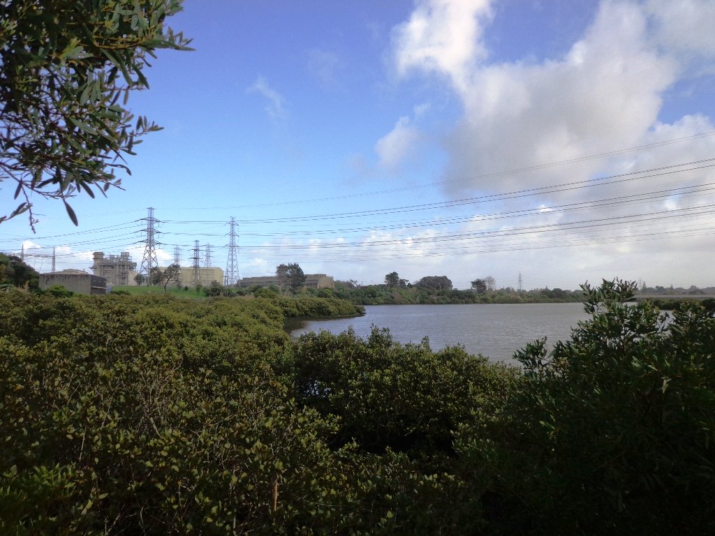
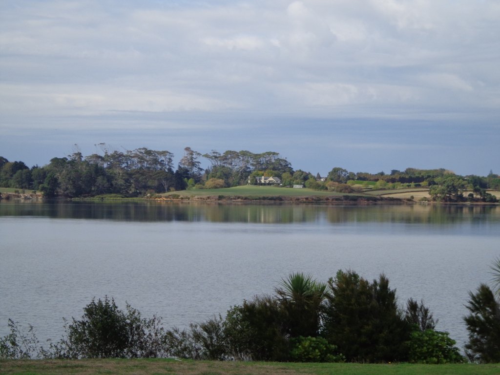
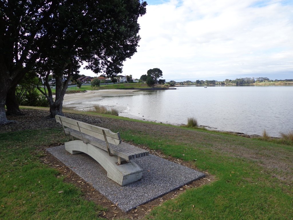
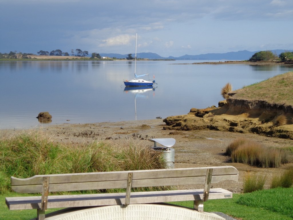
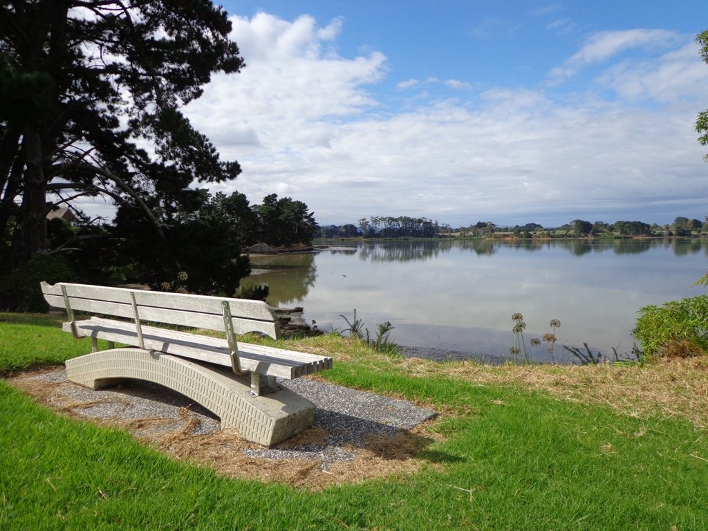
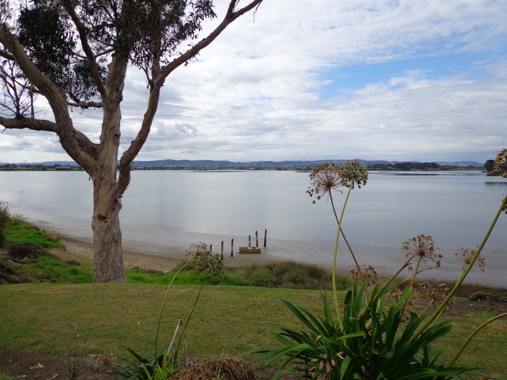
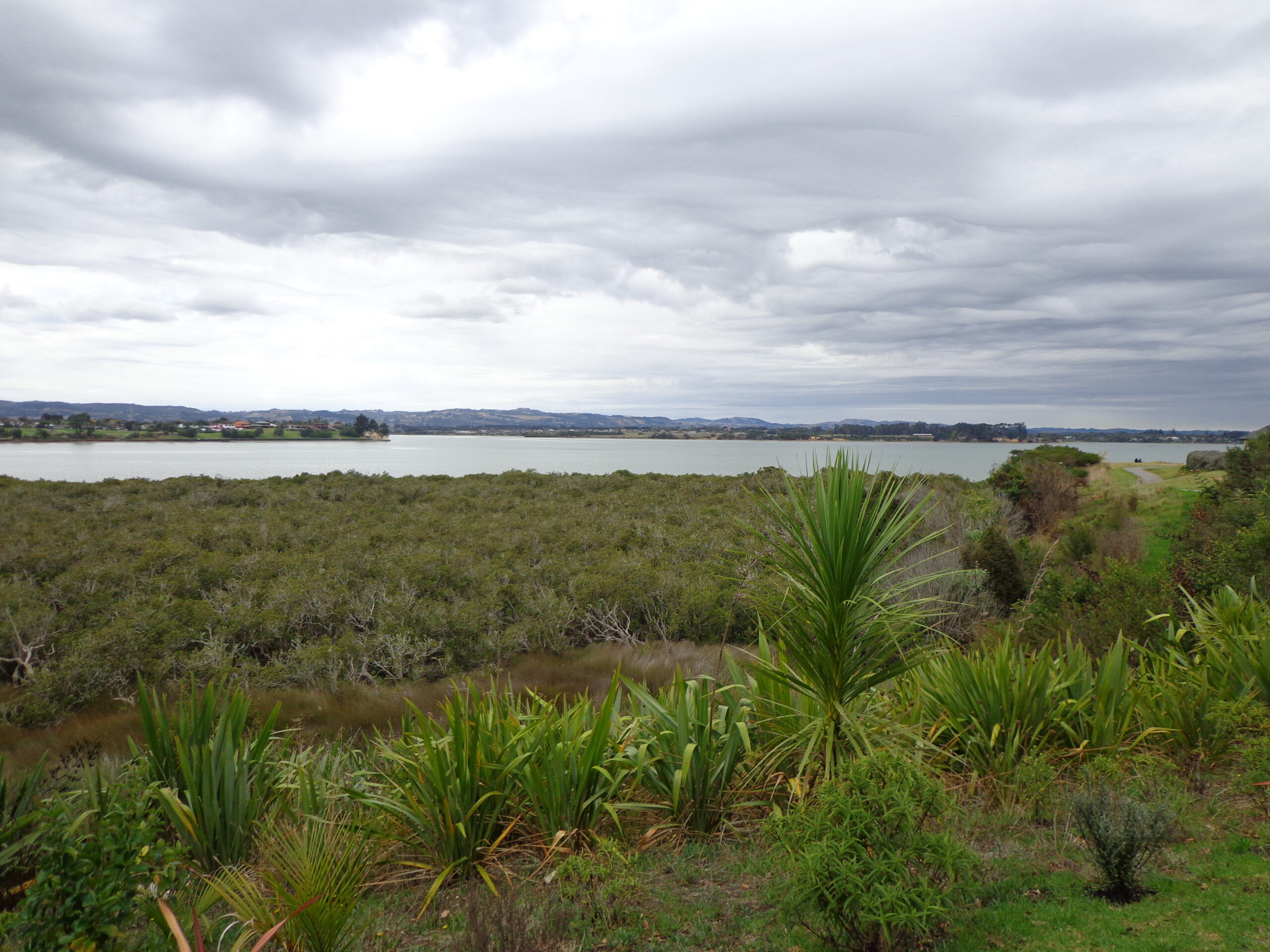
Wattle Downs in South Auckland was another new area for us to explore. The Wattle DownsWalkway goes around the edge of the peninsula that extends into Manukau Harbour, at one spot there are views through to Manukau Heads. The day was very calm – the water was like a mirror, and there were also threatening grey clouds hanging overhead. The walking route is also great for cyclists, prams/buggies and dog walkers (on leash and off leash dog exercise areas).
There are many points of interest along the way, and friendly people to say hello to. We stopped and spoke to a resident whose house looked out towards Manukau Heads – he told us that they get to view amazing sunsets over the harbour.
There are wetlands and ponds active with shore birds – if you are a keen bird watcher be sure to take your binoculars.
The only thing missing in the area is a cafe.
UPDATE March 2015 ** The shared walkway/cycleway has been extended from Hadley Wood Drive to Aberdeen Crescent.
Suitable for Family cycling: Frangipani Ave to Bluewater place, 10km each way.
Description: Mainly level paths, one set of steps (which can be avoided). Suitable for users of average fitness and mobility. Suitable for cyclists. To see: Manukau Heads, Manukau Harbour, Wattle Farm Wetland Reserve, shore birds Time: approx. 100 minutes (about 8.7 kms). Dog off-leash areas. Childrens playgrounds. No cafe. Public Toilets may not be open due to vandalism issues (see image below). Start from: Wattle Farm Reserve MAP
Stay on track…get your detailed guide and map (AS-067 Wattle Downs Loop) over at our Walks Store and our Book Store (one of 12 walks featured in our books “Coastal part 1”, “Dog Friendly Walks part 1” and “Best of the South”).
(Click on the photos to enlarge)
Self guided short circular walks in Auckland for health, fitness and fun


