Hamlins Hill (Mutukaroa) Regional Park is a gem in the midst of Auckland City with a rich history and plenty of open space for you to unwind and enjoy. You can enjoy 360 degree views of Auckland city and explore the bush where you almost forget you are in the middle of New Zealand’s largest city. At times you are only 20m from the main Eastern Arterial route, but you feel one hundred miles away!
Amazing Hamlins Hill – serenity in the heart of Auckland
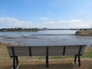
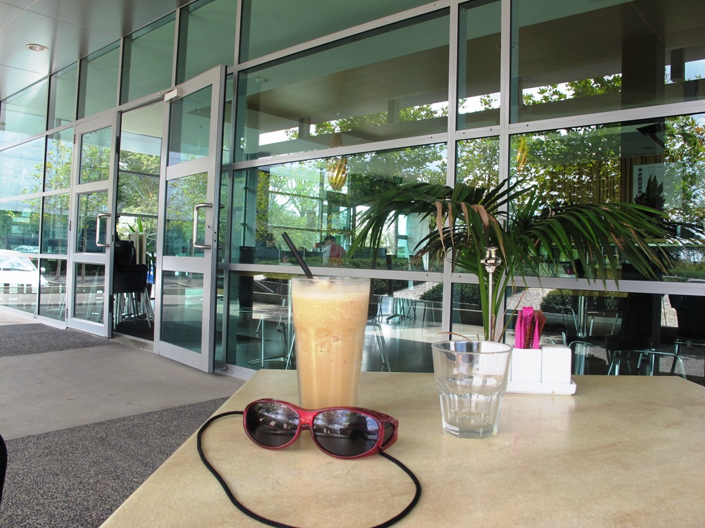
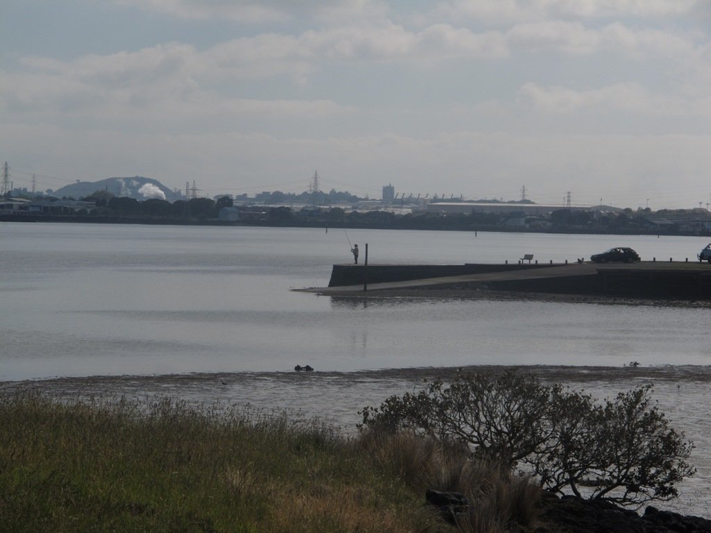
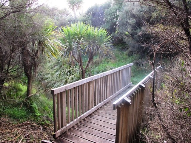
If you have been out to Highbrook Business Park in South Auckland, you may have noticed a walkway along the waters edge to the north. This has intrigued my friend and I for some time, so today we set out to explore and work out a way to include it an interesting circular walk.
Mission accomplished and rewarded with a delicious iced coffee at Highbrook Park’s Sierra Cafe! **Update December 2014** There is now a further selection of cafes and eateries at The Crossing (we had coffee at The Light Horse).
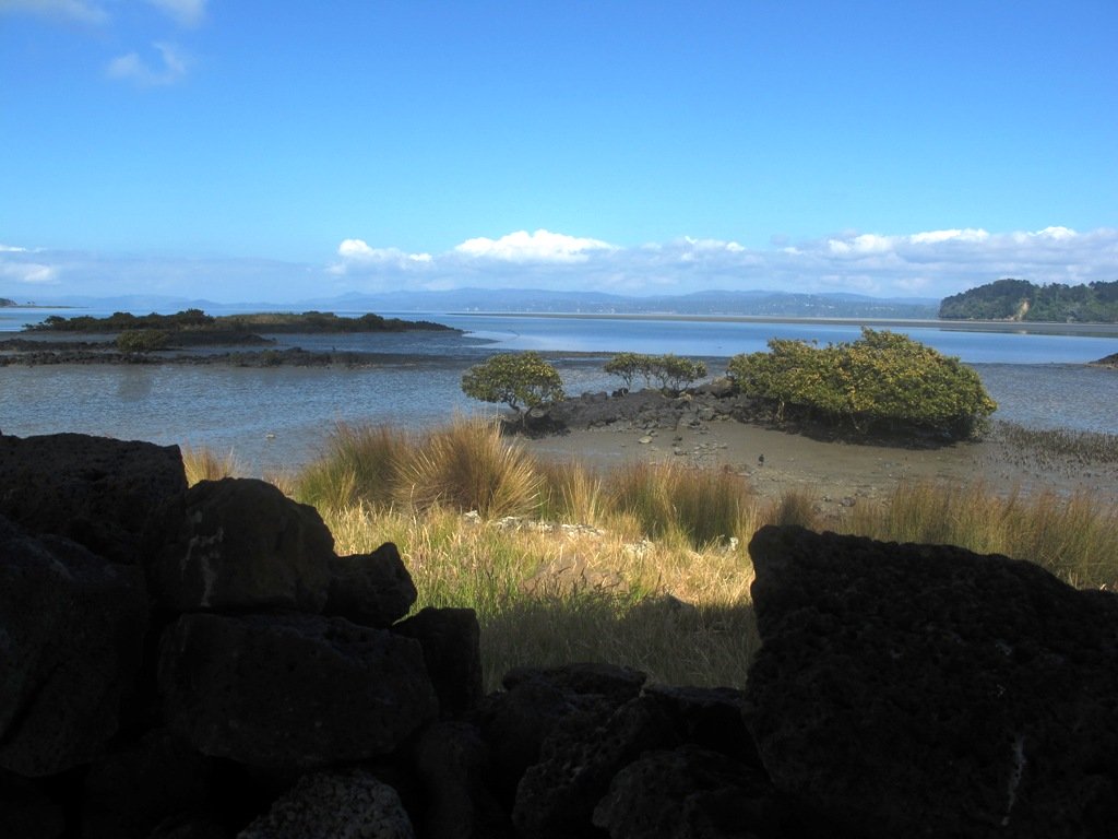
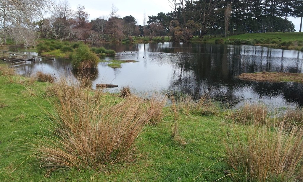
According to “Volcanoes of Auckland, the Essential Guide” Highbrook was developed as a racehorse stud farm before it was converted to a business park. The explosion crater’s proper name is Pukewairiki which means “the hill with the associated small lagoon”. The crater floor is now salt marsh and mangrove forest.
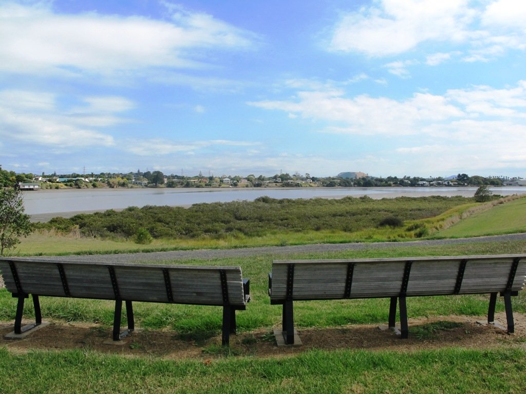
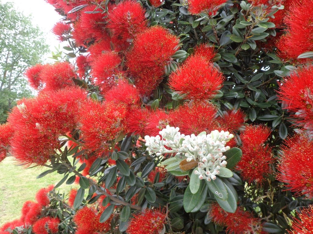
The pathway along Highbrook Park is safe for family cycling. This walk does not include a playground and would be suited for older children. Look out for the pohutukawa blossoms early summer. There is an off-leash dog exercise area on the Otara Creek (south) side of this walk.
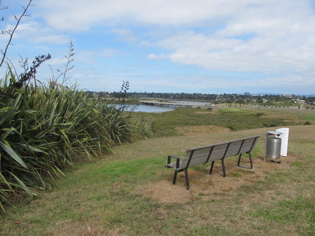
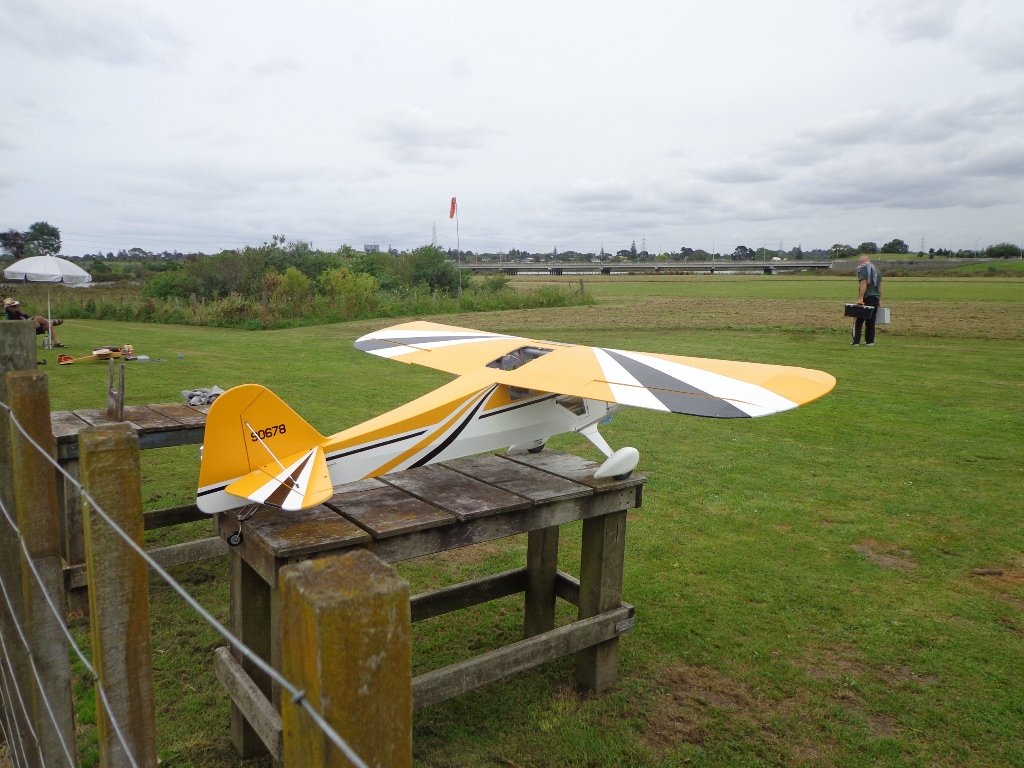
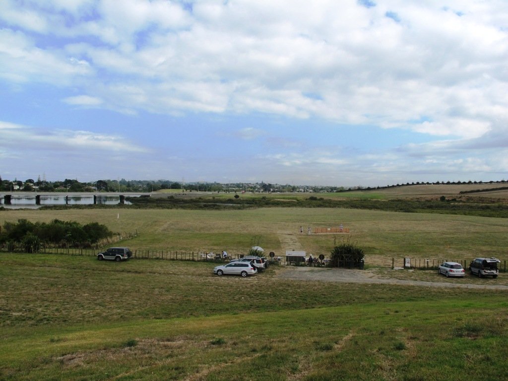
Description: A mix of level and slightly hilly paths. Suitable for users of average fitness and mobility. Suitable for mountain bikes. To see: Pukekiwiriki Crater, wetlands, views of Tamaki Estuary, Otara Creek, Pakuranga Creek, Mount Wellington and other volcanoes, Highbrook Model Airpark. Time: approx. 75 minutes. (about 5.8 kms) Start: Business Parade North, Highbrook MAP
Stay on track…get your detailed guide and map (AS-063 Highbrook Park Loop) over at our Walks Store and our Book Store (one of 12 walks featured in our books “Dog Friendly Walks part 1” and “Best of the South”).
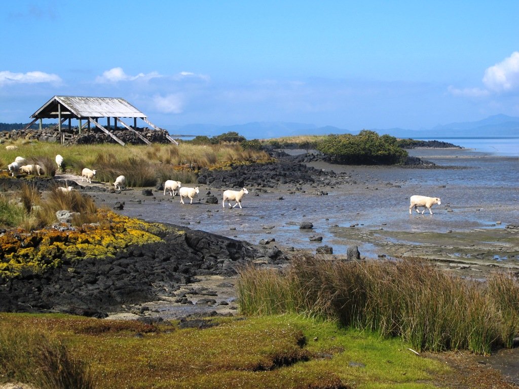
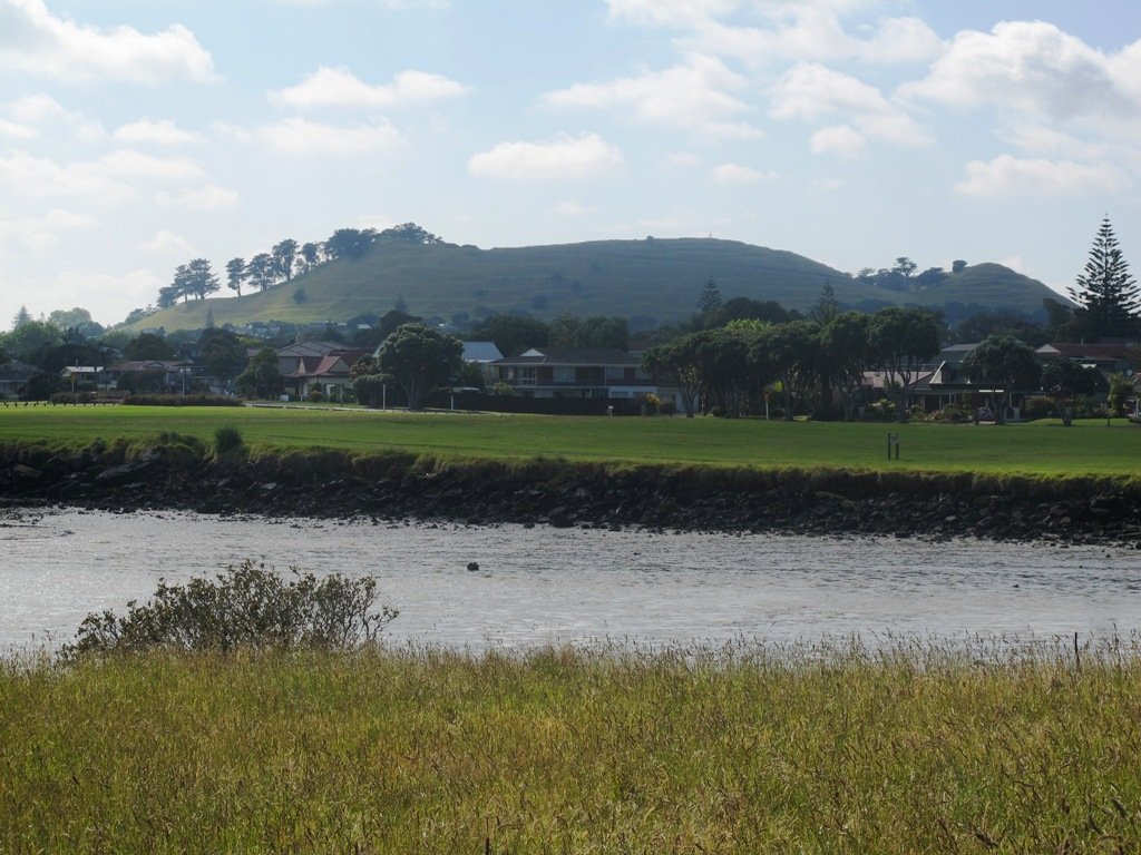
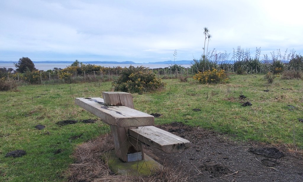
The walk around Ambury Park Farm is a fun, family friendly excursion. Close to Mangere Bridge Village, nestled on the foreshores of Manukau Harbour, with Mangere Mountain as the back drop, it is steeped in volcanic history and it’s intertidal mudflats form a birdwatchers wetland paradise. (We sighted many pukeko running about today).
Ambury Park Farm is named after Stephen Ambury, an English Immigrant who farmed in this area. Mr Ambury produced the first shipment of butter to leave New Zealand for the United Kingdom.
The farm itself has varied animals that young and old always enjoy. (A friend of mine, Robyn P Murray has written beautifully illustrated children’s books about Roger the Rooster and The Spirit of Cameron including other animals in residence at Ambury Park Farm).
On a hot day, be sure to have hats, sunblock and drinks on hand. There are picnic tables and benches throughout the Park.
The walking route is also suitable for mountainbuggies.
If you enjoy cycling, there is an easy grade 7km mountain bike track (WaterCare Coastal walkway map) which takes you from Ambury Park Farm to Otuataua Stonefields Historic Reserve.
A fun place to take the whole family. Animals to see and pet (feed the new lambs in August), volcanic history, shore birds, picnic spots…You could spend half the day doing the walk and visiting the farm, have lunch in Mangere Bridge Village and then explore Mangere Mountain.
Description: Mostly level paths across farmland and along gravel tracks. Suitable for users of average fitness and mobility. Suitable for mountain bikes. Sturdy shoes recommended. To see: Manukau Harbour, Mangere Mountain, farm land and animals, shore birds, Ambury Park Farm Time: approx. 60 minutes. (about 5.25 kms) Start: Ambury Park Farm car park MAP
Download the map of Ambury and devise your own route or
Stay on track…get your detailed guide and map (AS-056 Ambury Park Farm Loop) over at our Walks Store and our Book Store (one of 12 walks featured in our books “Coastal part 1” and “Best of the South”).
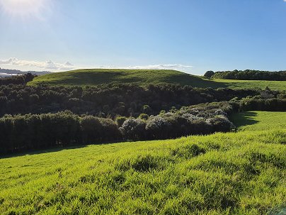
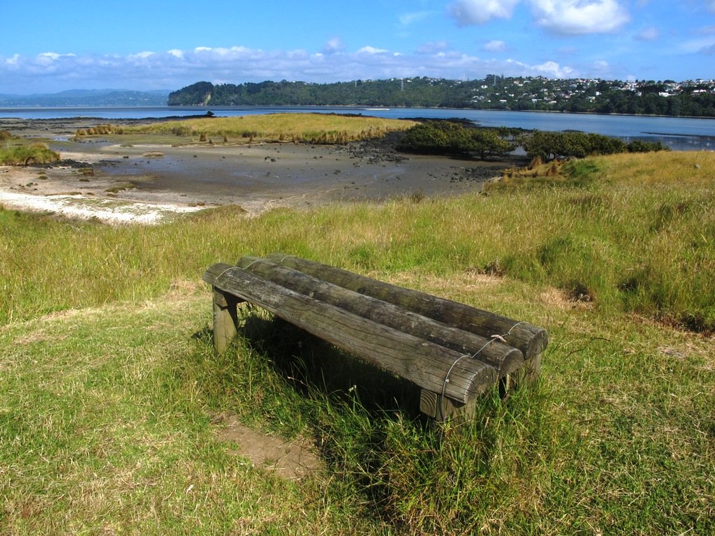
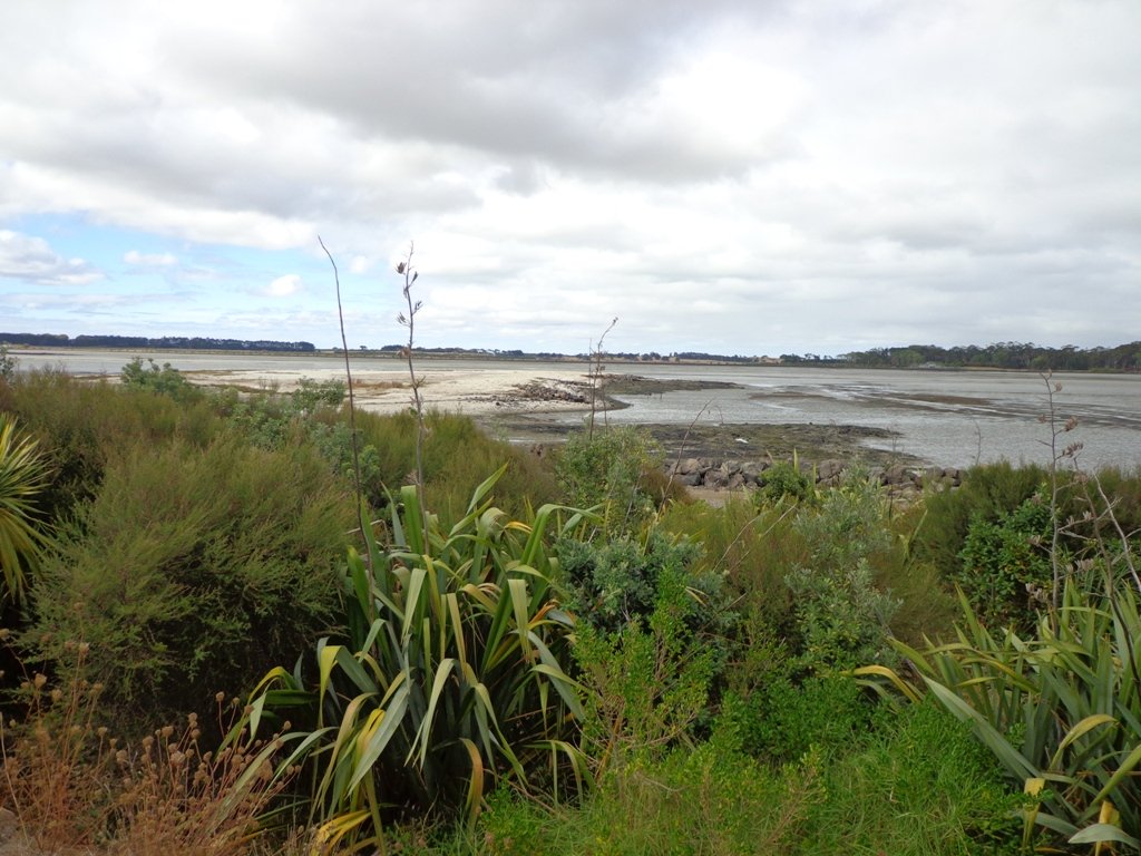
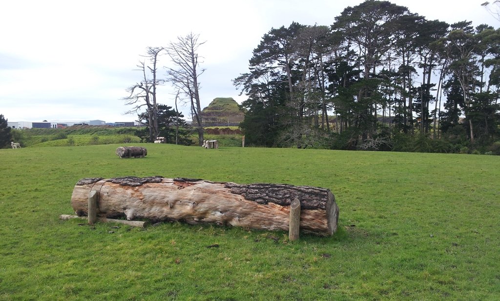
Puhinui Reserve Walkway was another new discovery for us today. It is a huge (199 hectares of rural landscape) undeveloped area out near Auckland Airport (off Price Road, off Puhiniu Road).
Puhinui Reserve forms part of the extensive Matukuturua volcanic field and is linked with pre-European settlements centred around Wiri Mountain (which has been extensively quarried) and Matukutura (McLaughlins Mountain). The area is used for a 3 day equestrian event once a year. It is a great area for safe family cycling on mountain bikes. This is a mostly flat walk. Dogs are not permitted as it is a conservation area for birdlife (such as the rare or endangered NZ Dotterel, wrybill, fernbird, and black stilt). Take a picnic – there are no nearby cafes.
The walking route is suitable for mountain buggies. Puhiniu Reserve is a great place to visit from about the end of July to see the newborn lambs and calves.
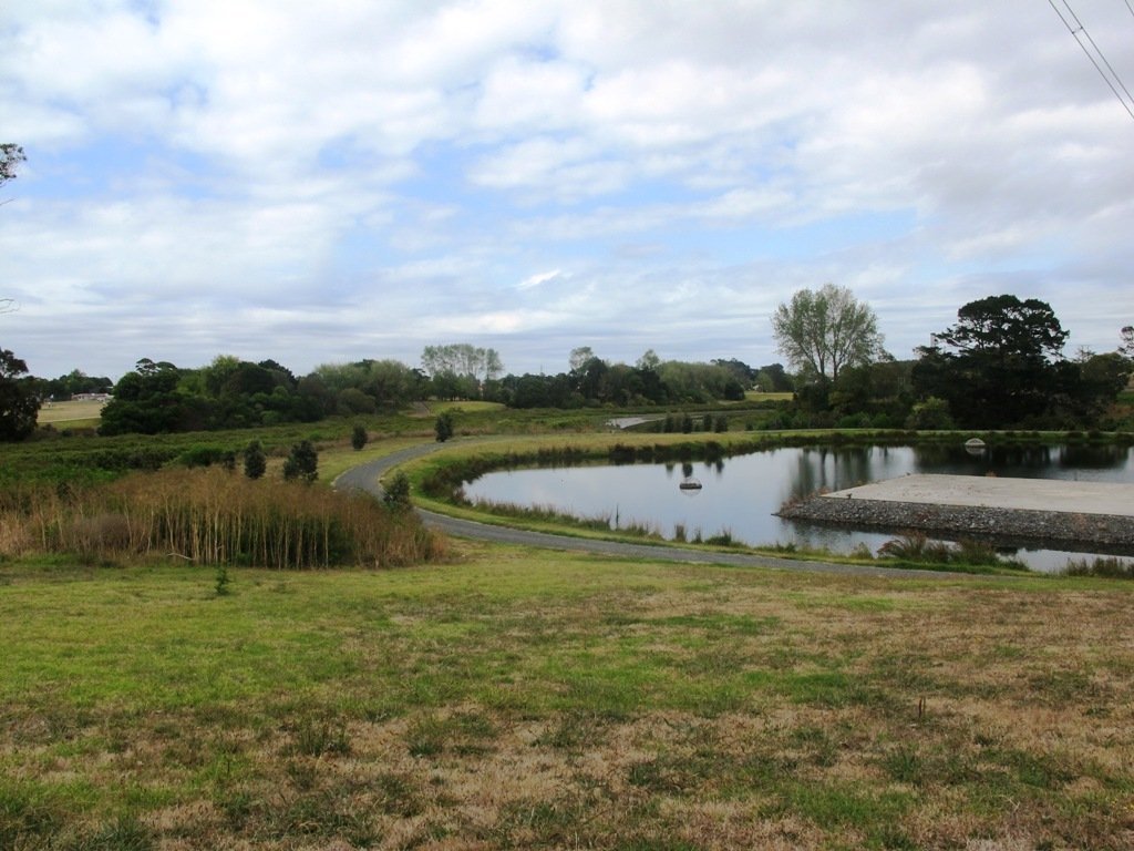
Description: A mix of level paths and slightly inclined paths. Suitable for users of average fitness and mobility. May require boots in wet weather (mud and puddles), running shoes suitable in dry weather. To see: Manukau Harbour conservation land, farmland and farm animals, view of McLaughlin Mountain (volcano), native bush. Time: approx. 80 minutes. (about 6.50 kms) Start: Price Road (off Puhinui Road, Wiri) MAP
*** Download this walk AS-039 Puhinui Reserve Loop for free when you enter your details here. *** or…