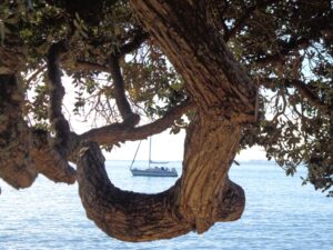
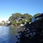
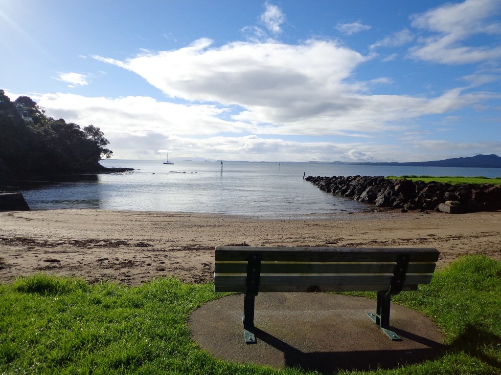
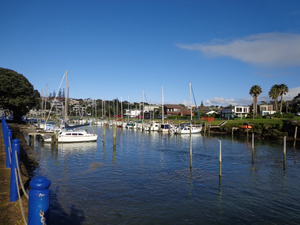
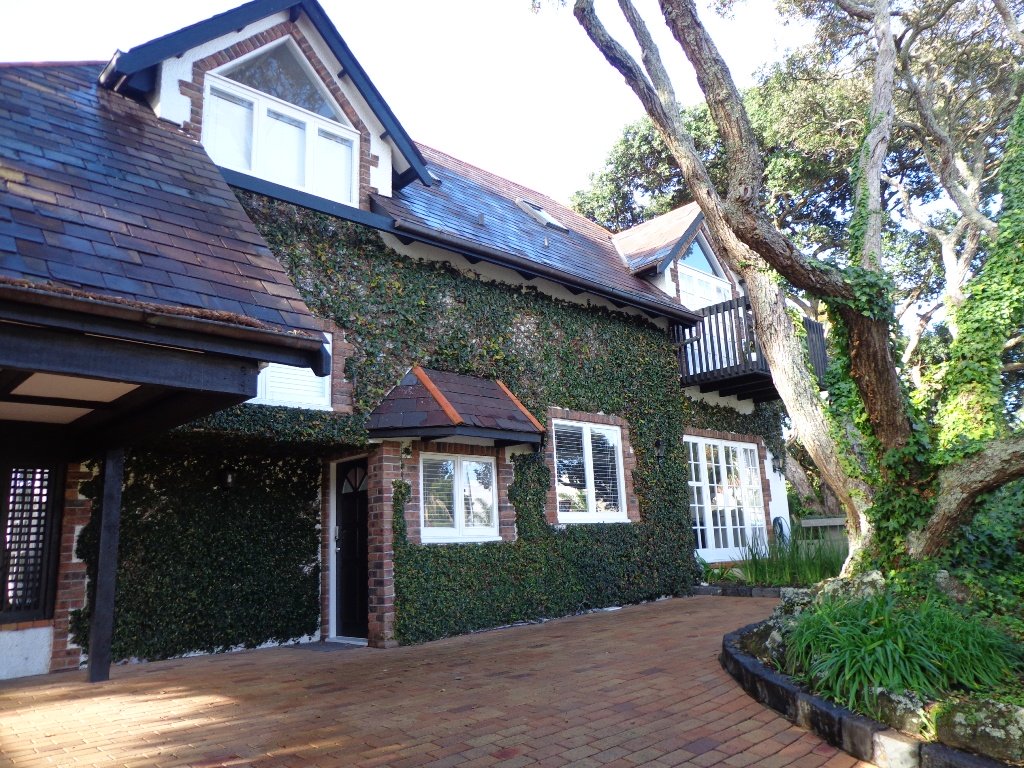
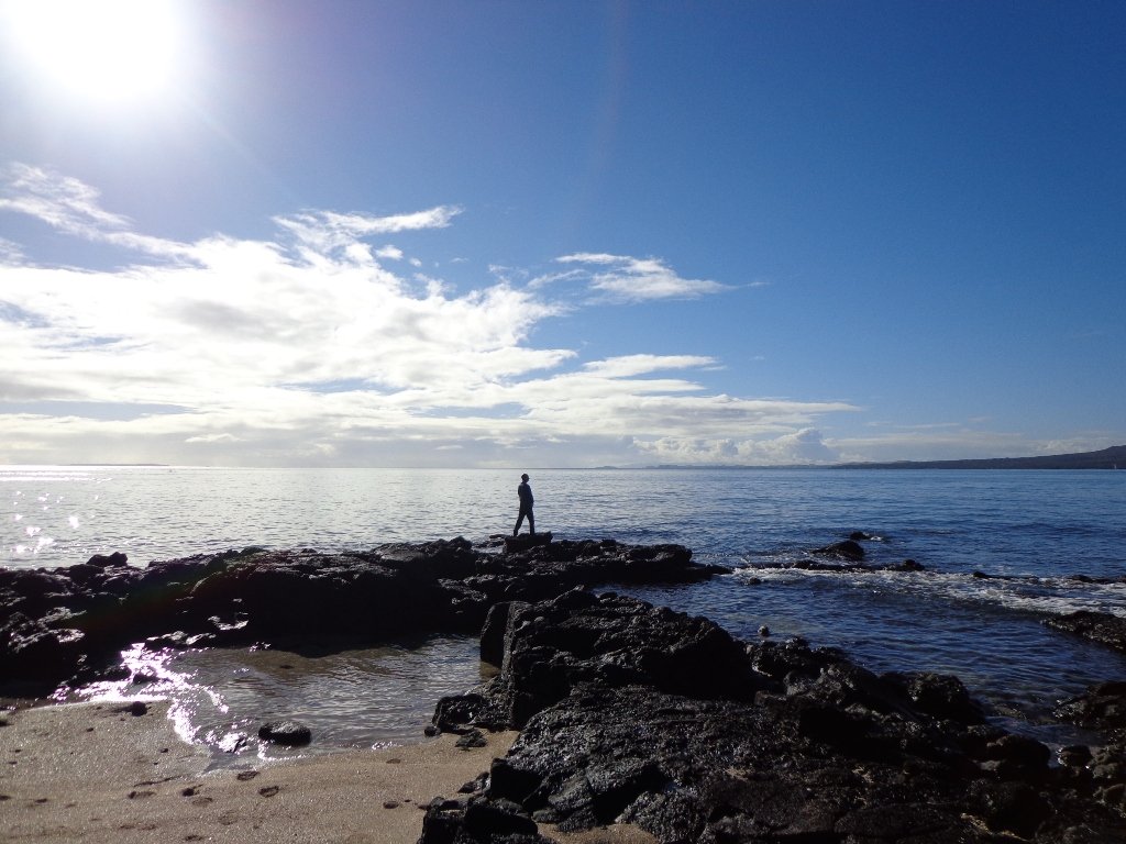
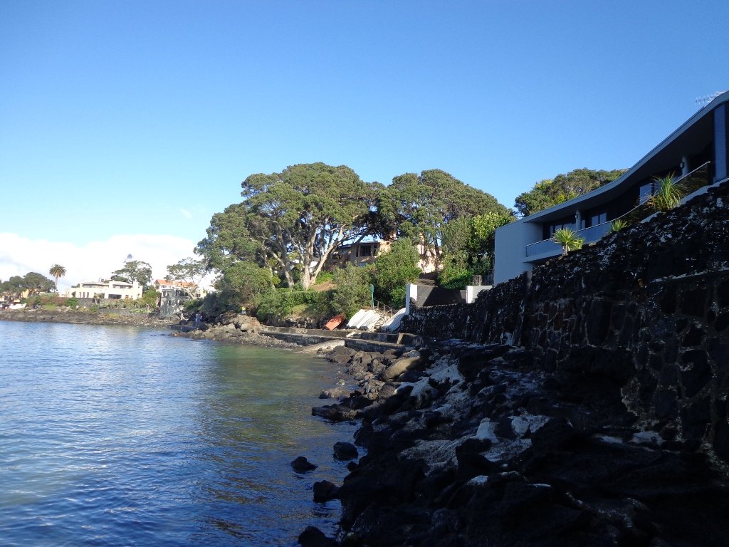
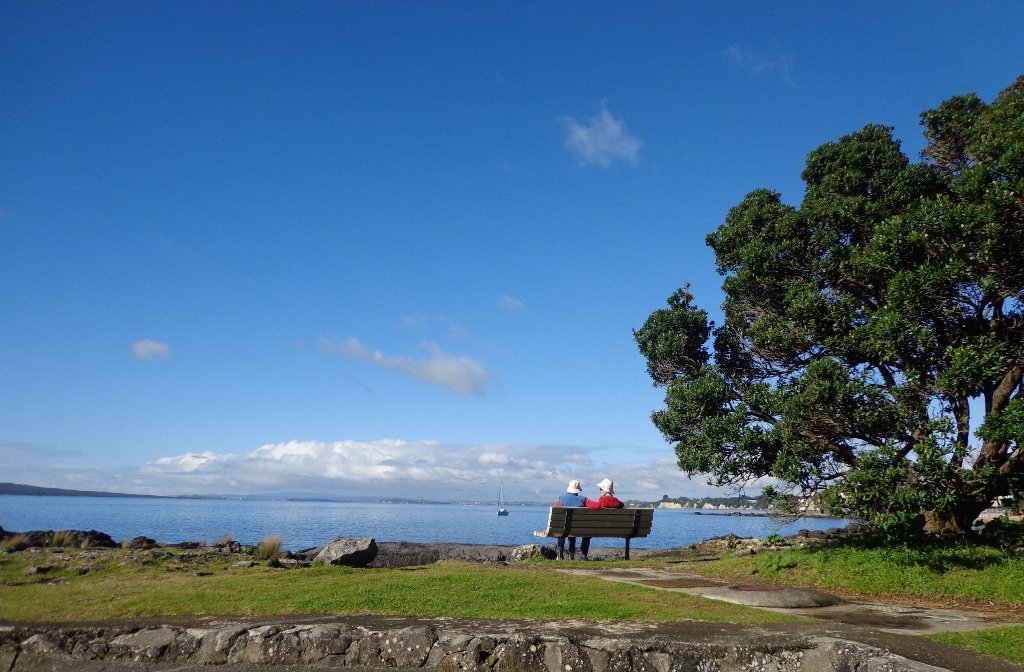
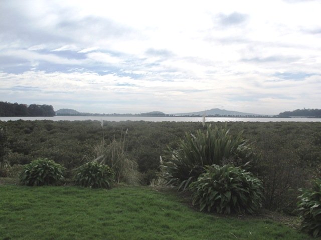
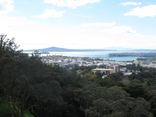
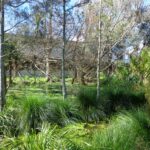
Many walkers on Auckland’s North Shore will be familiar with this route. We start off from the boat ramp at Takapuna, head along the shore line over sand, rocks and narrow pathways; past beautiful houses that overlook the Hauraki Gulf and Rangitoto Island to Milford, where we head inland along the marina before returning to Takapuna.
This walk suits sure-footed folk, and you would want to avoid high tide and stormy seas.
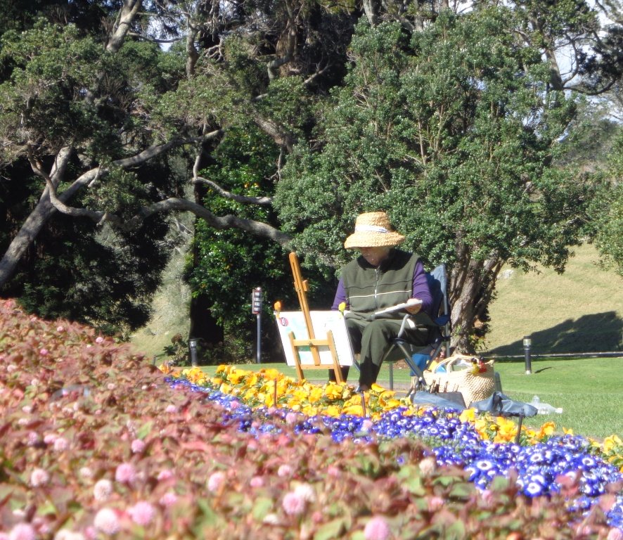
Dogs – Takapuna Beach is an off-leash exercise area 24/7 in winter, but only before 10am and after 6pm during daylight saving.
Description: Partly rocky and narrow seaside pathway. Slippery when wet. Avoid at high tide and stormy weather. Suitable for users of average fitness and mobility. To see: Hauraki Gulf, beaches, marina, residential homes. Time: approx. 75 minutes. (about 6.22 kms) Parking: Takapuna Boat Ramp, The Promenade Buses: Hurstmere Road, Takapuna (MAP)
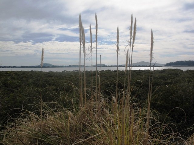
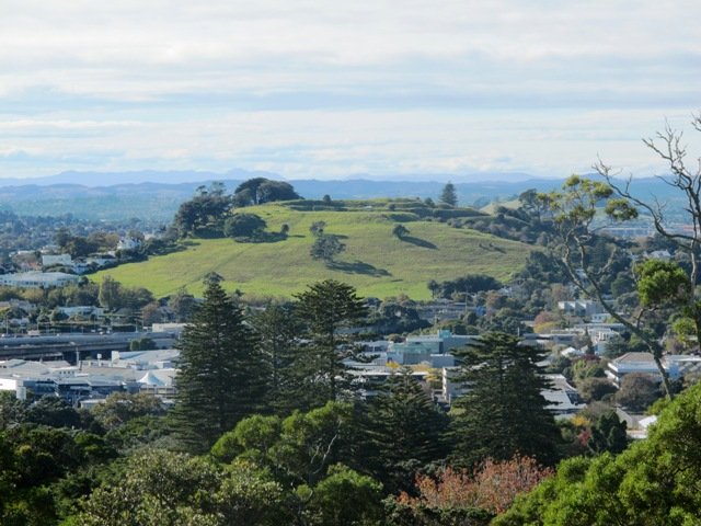
Visitors to Auckland can catch a train from Britomart to Orakei, and enjoy a walk along the Hobson Bay Walkway with views of three volcanoes – North Head, Mt Victoria and Rangitoto Island. This walk in Auckland along the Hobson Bay Walkway also takes you up higher through the streets of Remuera with views of the Sky Tower, the Holy Trinity Cathedral and Auckland Museum. (You can also begin this walk from the car park at Martyn Wilson Fields Reserve.)
Hobson Bay Walkway with views of the 3 volcanoes.
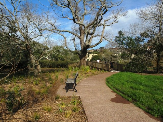
Auckland Council has done a wonderful job on the stormwater upgrade at the Martyn Wilson Reserve – we have been waiting months for this to be completed so that we could document this walk.
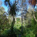
Other things to see on this walk are the shore birds that live in the mangrove swamps and creeks at the edge of Hobson Bay. Today we saw pukeko, herons, shags and ducks. There are two children’s playgrounds and a dog off-leash area. The track can be a bit wet and muddy in places after rain.
The Martyn Wilson Reserve is opposite Palmers Garden Centre which houses Cafe Greenfingers. This popular cafe is now en-route for this and two other of our walks:
Description: A mix of level paths, steps and slightly inclined paths. Suitable for users of average fitness and mobility. May require boots in wet weather, running shoes suitable in dry weather. To see: Volcano Views, shore birds, residential housing, mangroves, boardwalk Time: approx. 60 minutes. (about 4.7 kms) Start: Marytn Wilson Fields Reserve Map
Stay on track…get your detailed guide and map (AC-051 Remuera and Hobson Bay Walkway) over at our Walks Store and our Book Store (one of 12 walks featured in our book “Coastal part 2”).
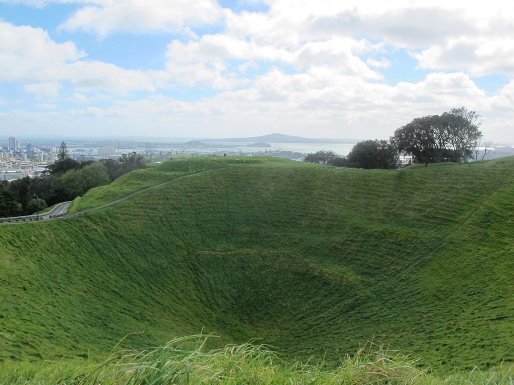
Mt Eden is one of the most popular places to visit in Auckland. Today’s walk around Mt Eden in autumn sunshine and clear skies was wonderful. We enjoyed the fly past of the Spitfires and DC3’s at 10am to commemorate Anzac Day.
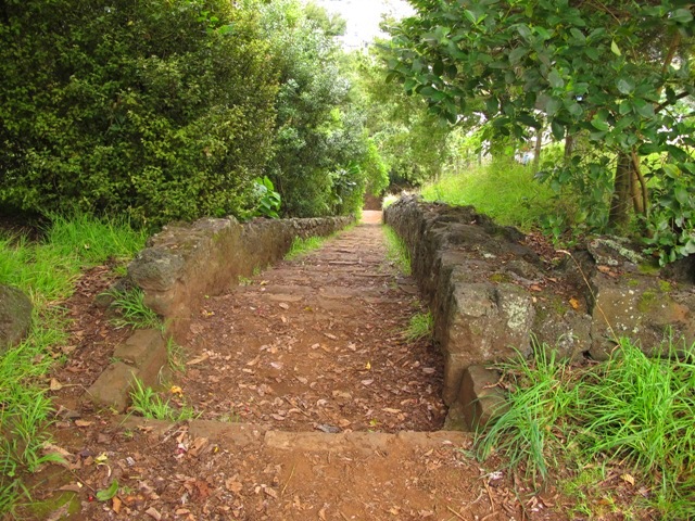
This walk around Mt Eden takes you along the road and smaller tracks up and around the summit and crater, to give you an idea of the immense size of this volcano.
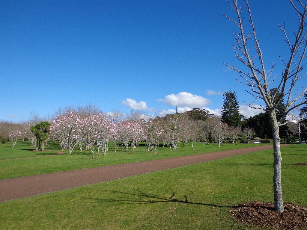
View of Rangitoto Island from Mt Eden, AucklandFriends of Maungawhau have kept up with planting native trees, so that in time, the mountain will have improved heritage protection.
Since our last visit, the work undertaken on the water reservoir has been completed, so we have added an extra optional loop to take in a bigger view of Auckland City and the harbour.
Google Map
Highlights
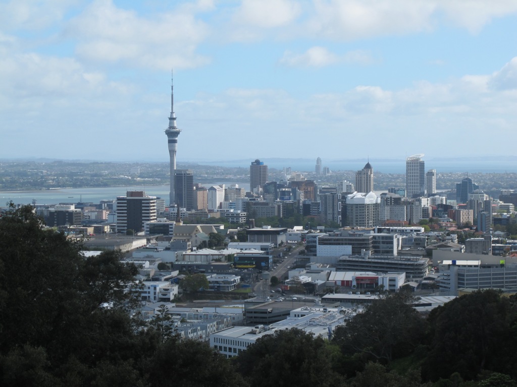
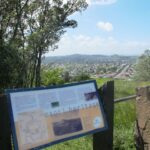
This very popular visitor’s site gives fine views of Eden Park (home of the All Black’s Rugby Team), the Waitakere Ranges, Rangitoto Island, Mt Victoria, North Head, Mt Hobson and more…Why visit Mount Eden?
There is a good sized childrens playground (and a flying fox). And Mt Eden village offers a good choice of cafes.
Description: A mix of level paths and steep paths/steps. Suitable for users of average fitness and mobility. May require boots in wet weather. Sturdy shoes required to cope with loose gravel, tree roots and small rocks. Caution: Muddy and slippery when wet. To see: Volcano crater, Auckland City views, Waitemata Harbour views and the Waitakere Hills. Time: approx. 60 minutes (about 4.74 kms). Start: Owens Road (off Stokes Road/Mt Eden Road) MAP
Stay on track…get your detailed guide and map over at our Walks Store (AC-004 Mt Eden Walk Circuit) and our Book Store (“Volcanoes”, “Dog Friendly Walks part 2”).
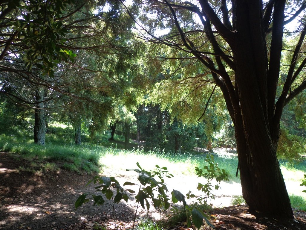
Today I was shown an interesting waterway – Meola Creek. It is hidden between the St Lukes shopping hub and Mt Albert Grammar School. Meola Creek is the result of run-off from Mt Albert, Mt Eden and Three Kings and runs over and under ground (in pipes) out to Waitemata Harbour at Meola Reef.
The St Lukes Environmental Protection Society (STEPS) has been very active getting Meola Creek clean, the area planted with natural habitat and a boardwalk built (Roy Clements Treeway). Elizabeth Walker, a member of STEPS very kindly showed me around. This historic map clearly shows Meola Creek. Elizabeth has since shown me one of the sources of Meola Creek – an overgrown area covered in toxic weeds, behind Haverstock Road. It would be wonderful to see the area restored to allow more water fowl to live there.
The view from Mt Albert across to the city skyline and the top of Rangitoto Island shows how spread out the city of Auckland is. There is an off leash dog area in Kerr-Taylor Park and a fenced off-leash area at the top of Mt Albert. (See other Dog Friendly Walks)
HISTORY. Nearby is the historic mansion ‘Alberton‘ on the corner of Kerr-Taylor Avenue and Mt Albert Road. Further historical information can be found in the archives of the Mt Albert Historical Society here and here. ‘In old Mt Albert’ by Dick Scott (this book is available from Auckland Libraries) tells the history of Mt Albert from 1911 to 1961. You may wish to download the Mount Albert Heritage Walks brochure.
Description: A mix of level paths and steep paths/steps. Suitable for users of average fitness and mobility. May require boots in wet weather, running shoes suitable in dry weather. Caution: Muddy and slippery when wet. To see: Volcano crater, boardwalk and water birds, reclaimed creek vegetation, Auckland City views, Waitemata Harbour views, glimpses of Manukau Harbour and the Waitakere Hills. Off leash dog areas. Children’s playground. Time: approx. 60-75 minutes, about 5.4 kms. MAP Suggested cafes: Pyrenees French Delicatessen and Parkside Cafe
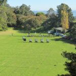
One of my “most-walked” walks in Auckland is the loop of Cornwall Park and One Tree Hill. This volcano walk is right on my doorstep, I can walk there from my home.
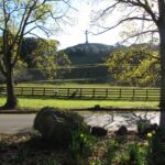
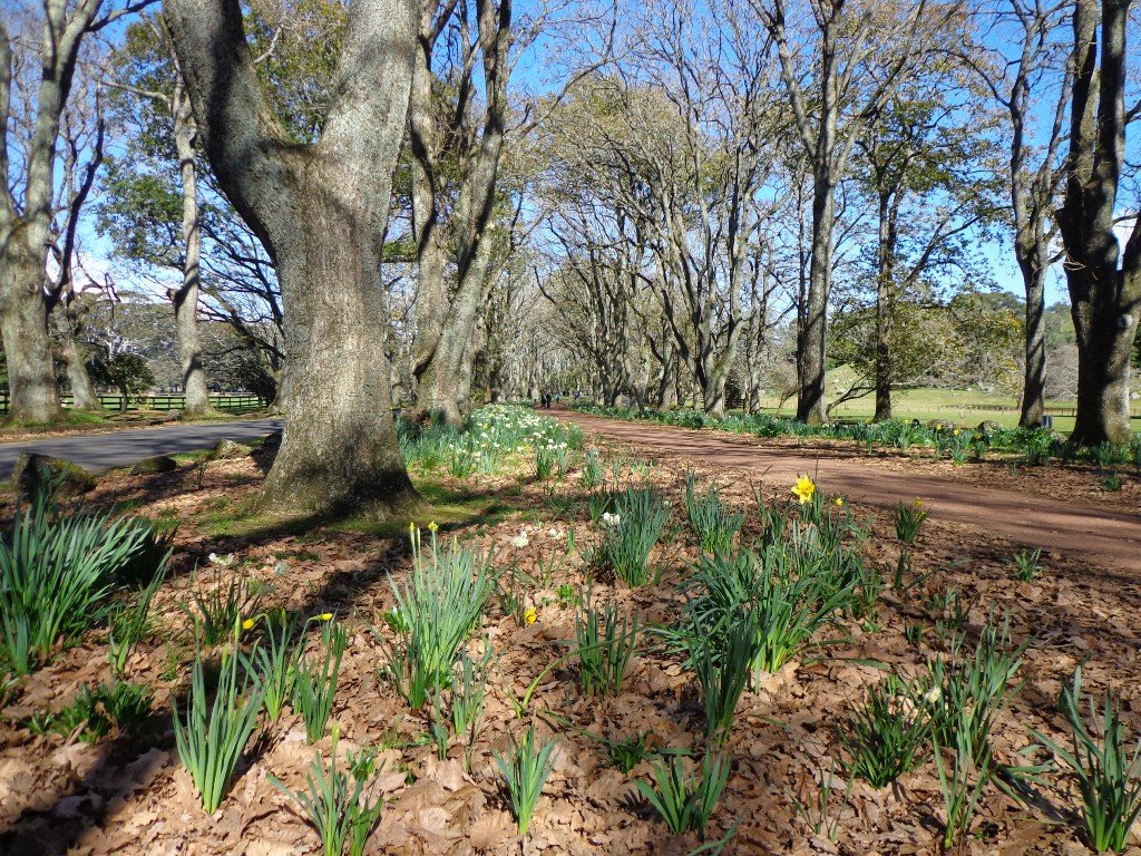
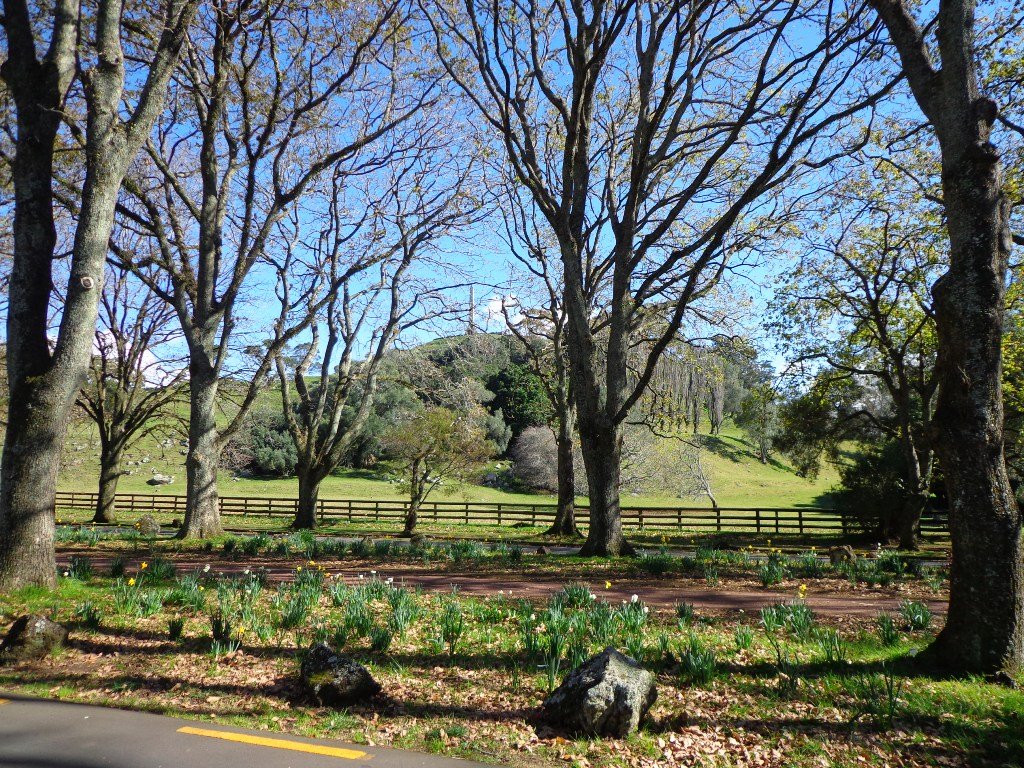
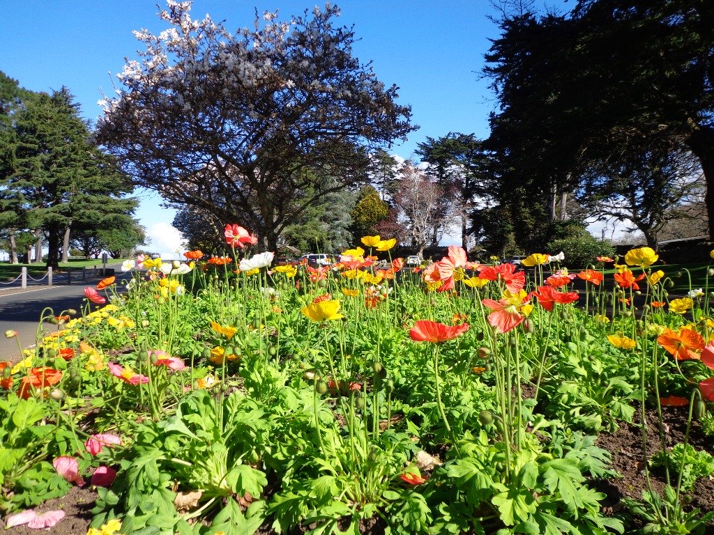
Each season of the year can be enjoyed in this park – from the lambs and daffodils in the spring to the autumn colours in April through to pohutukawa flowers in December. Even when the leaves have dropped from the old oak trees in winter, the trees still look majestic.
Tree lovers may like to read this NZ Herald article: Growing our heritage
The park has many things to enjoy. There are large areas of grass for picnics and ball games. There are the cattle and sheep and birds. There are native New Zealand trees such as the pohutukawa and the yellow flowers of the kowhai, and introduced species such as the oaks and eucalyptus trees. The information centre next to the Cornwall Park Restaurant provides leaflets on all the trees in the park plus information on other aspects.
One Tree Hill is a volcano and it has a fabulous view from the summit that takes in views of other Auckland volcanoes (Mt Eden, Mt Hobson, Mangere Mountain, Rangitoto Island, Mt Wellington, Mt Roskill) as well as views of both harbours – the Waitemata and the Manukau.
The park has picnic areas and barbecues, a bandstand and flower beds. And places where children enjoy riding bicycles and scooters. It includes a children’s playground as well as the Stardome Observatory Planetarium. It really is a great place to spend a day.
For visitors who have to choose between visiting One Tree Hill and Mt Eden – One Tree Hill is a larger area with more to see, sheep and cattle, a cafe plus a fine view from the summit. Whereas Mt Eden has a huge crater and a fabulous view of Auckland City.
If you like a bit of a laugh, in 2008 my son James created a 12 part video series titled ‘Steve McGill of One Tree Hill’ which you may enjoy watching. “Meet Steve, a farmhand on Auckland’s One Tree Hill who has many misadventures. He loves his job, his gumboots and his sheep.”
Description: A mix of mainly level paths, and a few steep paths. Suitable for users of all ages and abilities, suitable for normal footwear and for wheelchairs and pushchairs. To see: City views, harbour views, trees, Volcano, farm animals, observatory. The Park is home to many birds ranging from Native Pigeon, Fantail to California Quail, White-faced Heron and Paradise Shelduck. Time: approx. 60 minutes. (about 5.14kms). Parking: Carpark, Manukau Road entrance.
Suggested Cafés: 1) Frolic Café, Manukau Road opposite the park entrance. We have had many coffees here – children friendly. 2) Cornwall Park restaurant and ice-cream kiosk 3) Various at Greenwoods Corner (Golf Road exit).
Stay on track…get your detailed guide and map brochures over at our Walks Store (AC-001 Cornwall Park) and our Book Store (Volcanoes). Or you can download it for free when you sign up in the box at the top right hand side of this page.
Self guided short circular walks in Auckland for health, fitness and fun