Category Archives: Dog Friendly Walks

For dog owners who like variety – our walks in Auckland note the off leash dog areas. NB: These may change without notice due to Council regulations.

Devonport Ngataringa Loop

Devonport © 2011-2013 Unleashed Ventures Limited

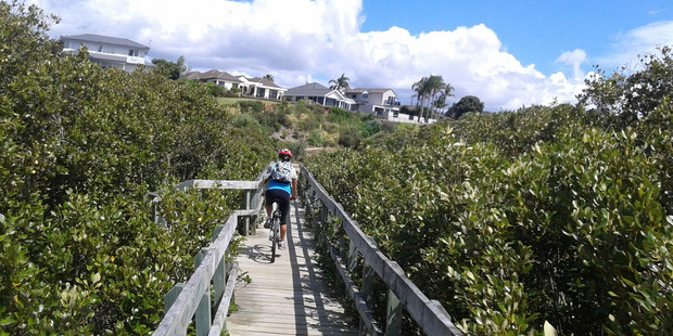
With the weather looking uncertain and the wish to keep our shoes out of the mud, today we headed over to one of our favourite places to walk in Auckland – Devonport. We were uncertain of where we were headed, and as it turned out, we were very pleasantly surprised at how well our circular route revealed itself.

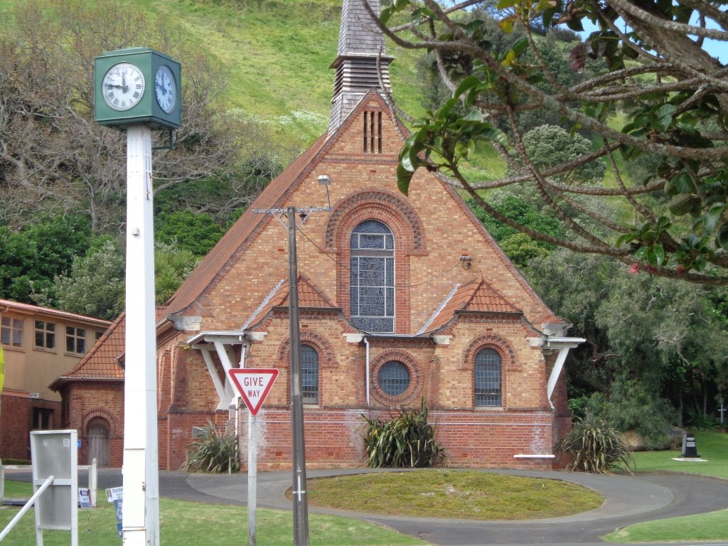
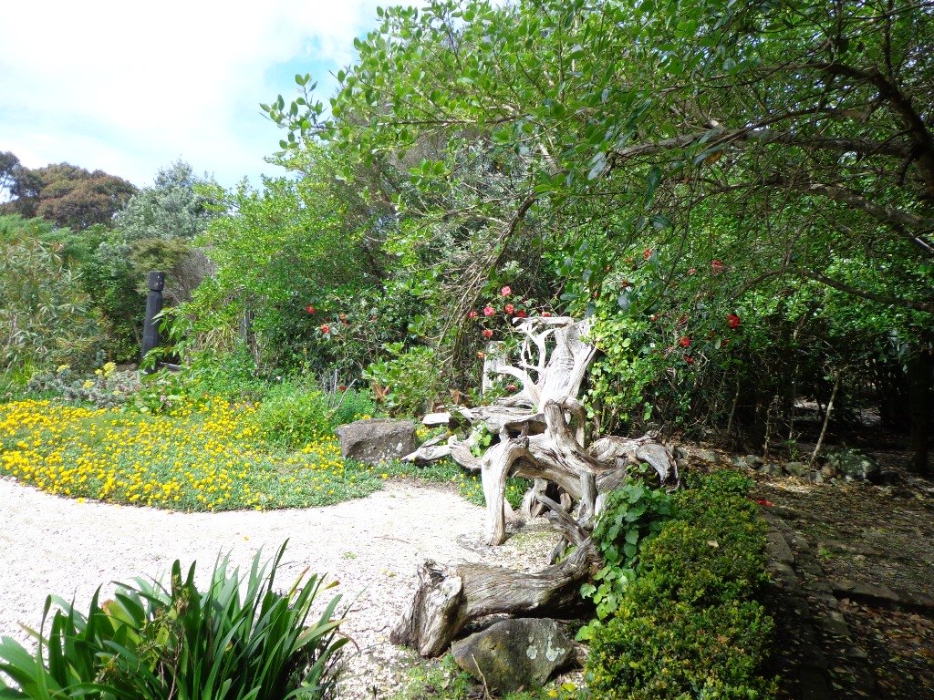
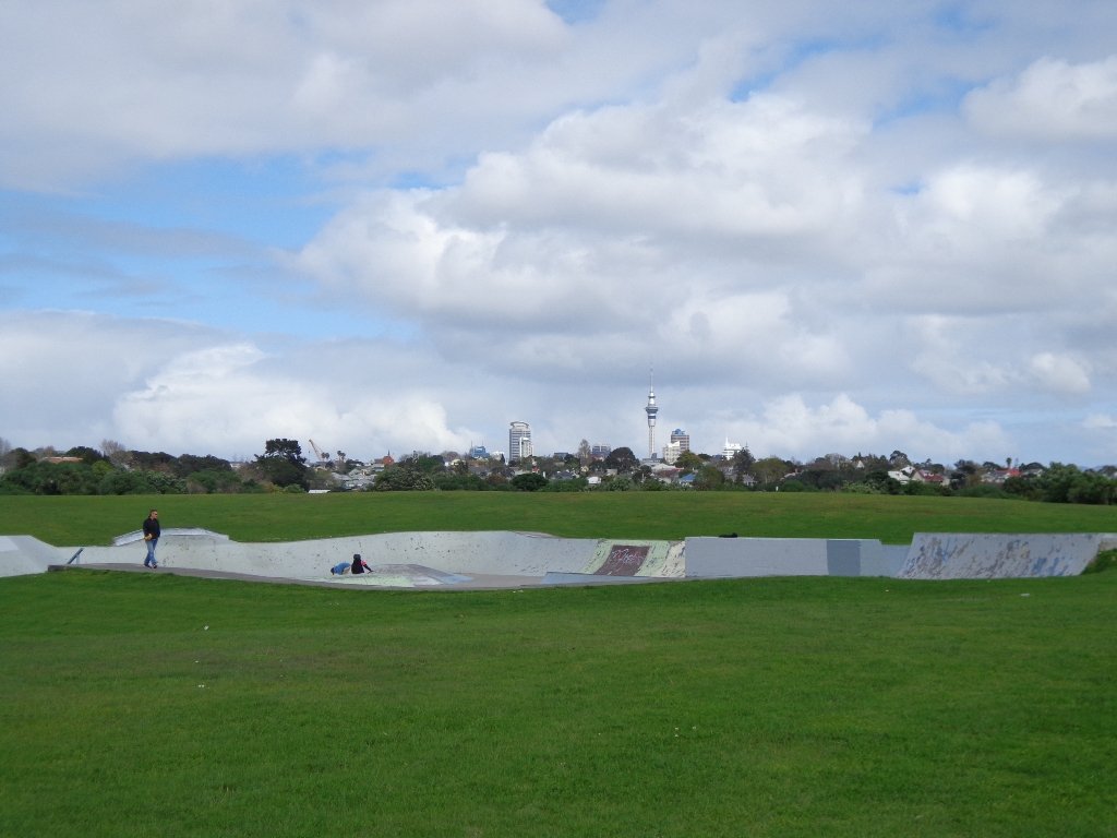
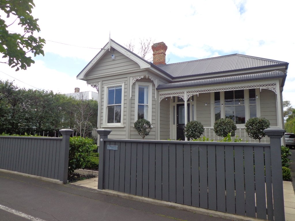
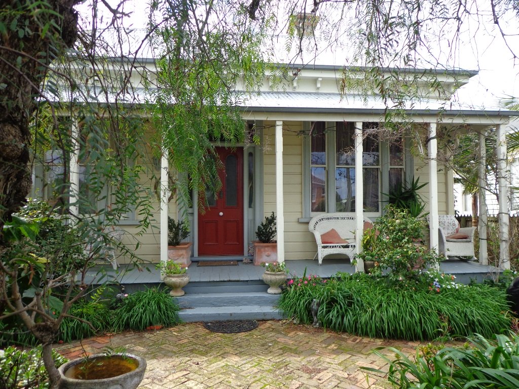
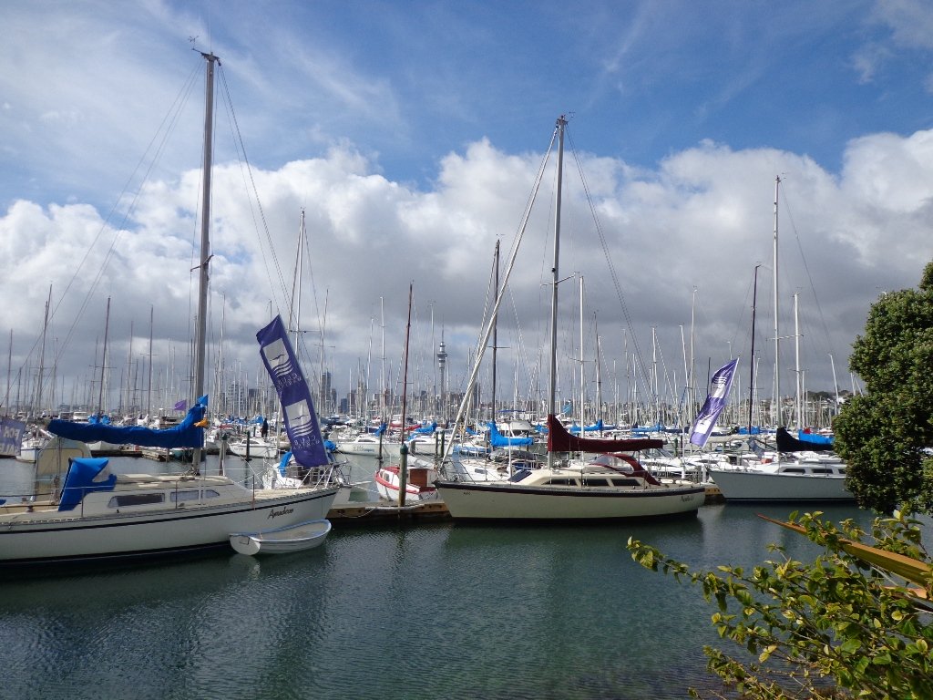
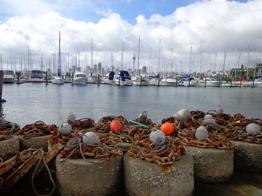
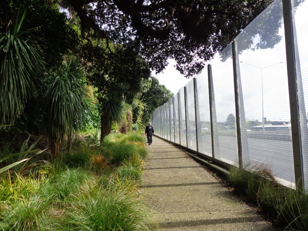
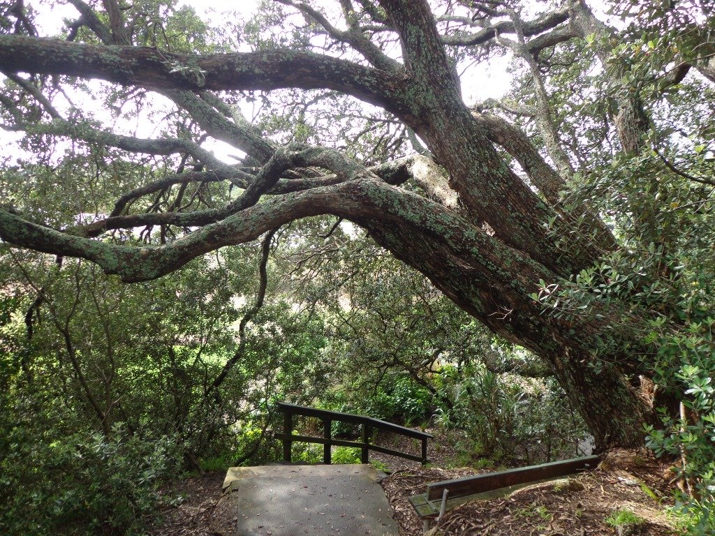
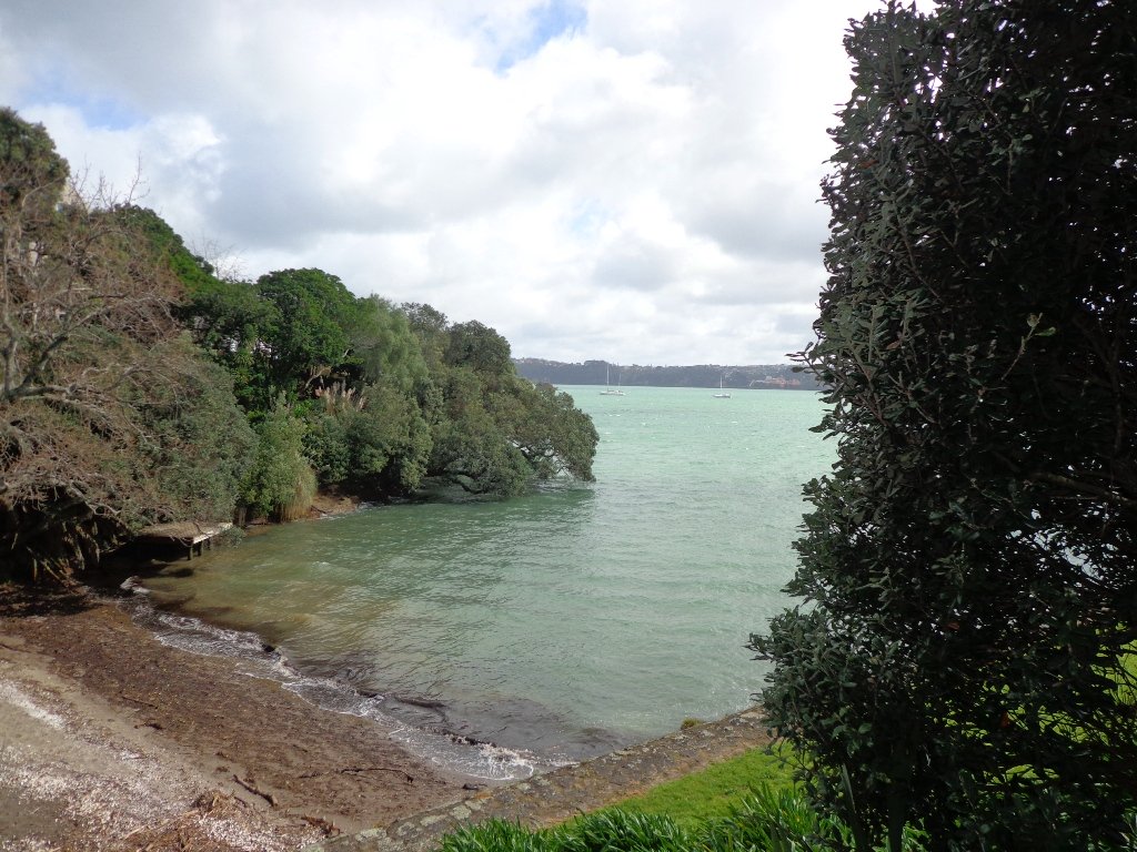
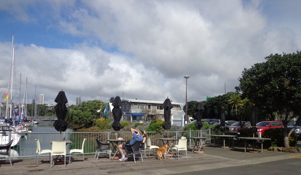
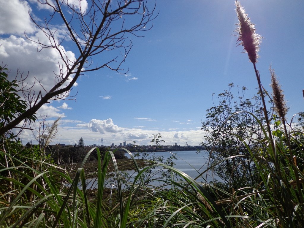
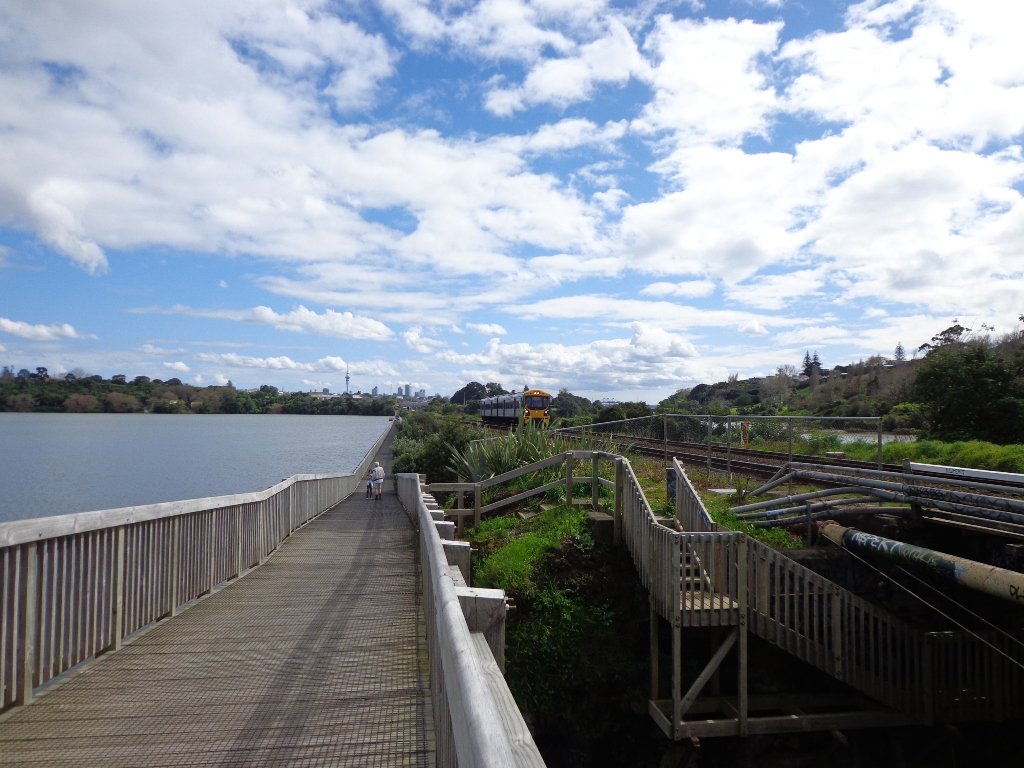
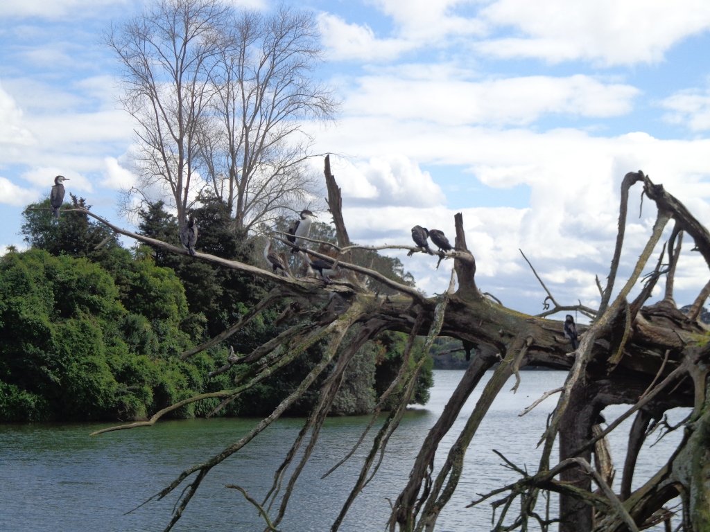
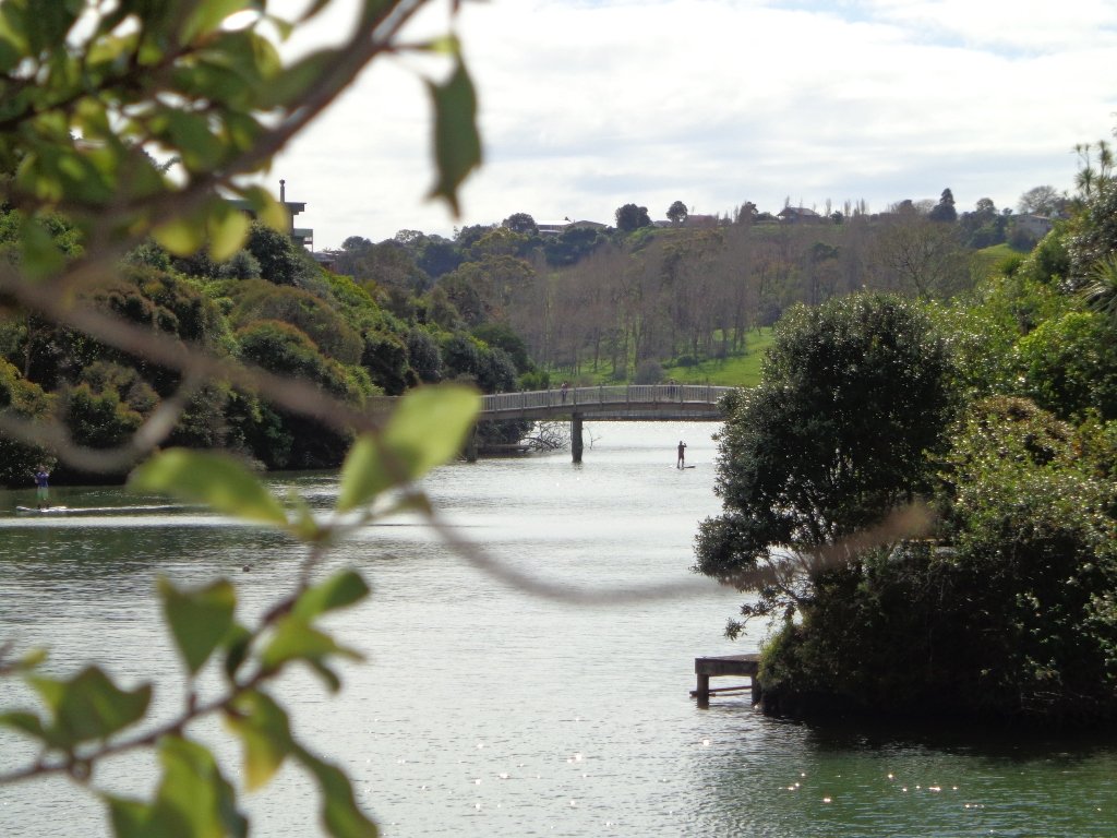
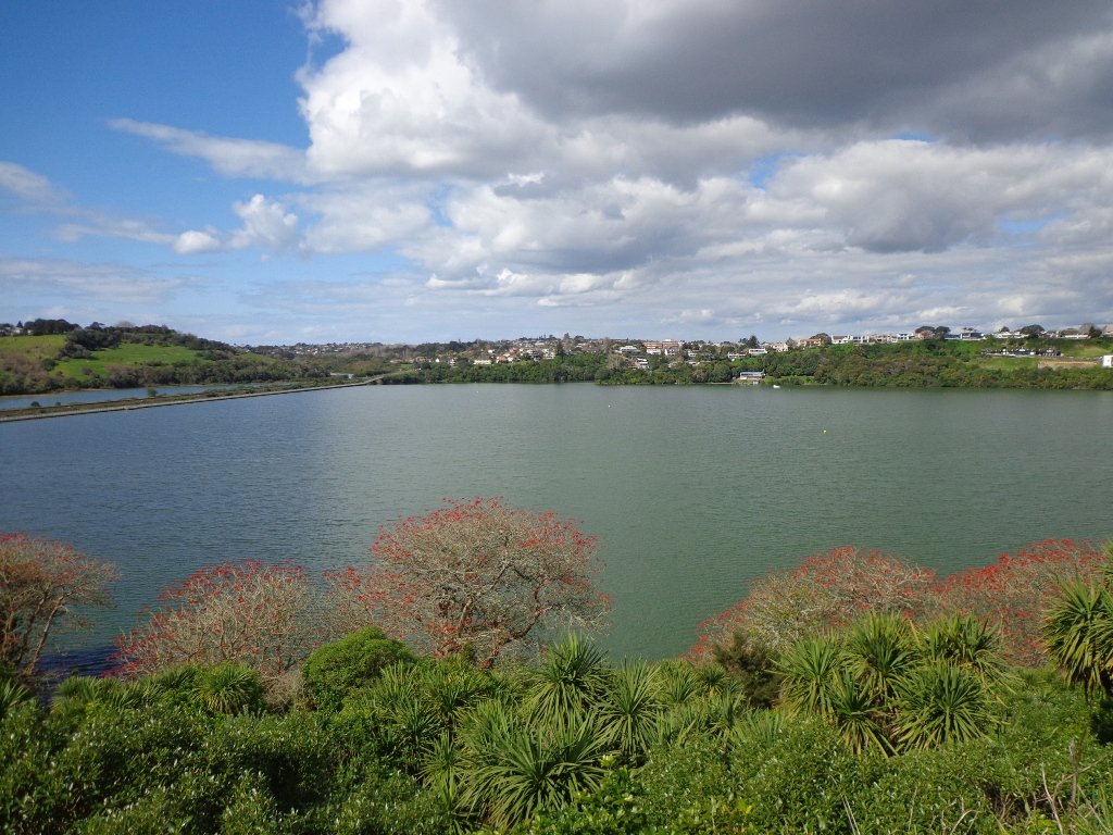
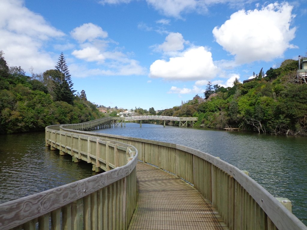
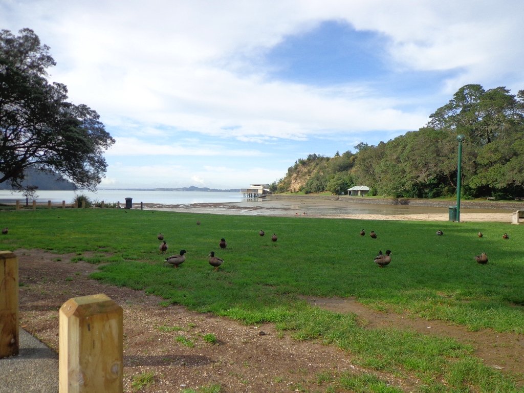
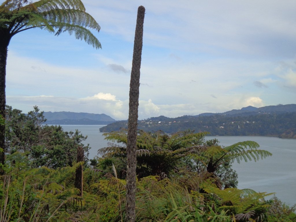
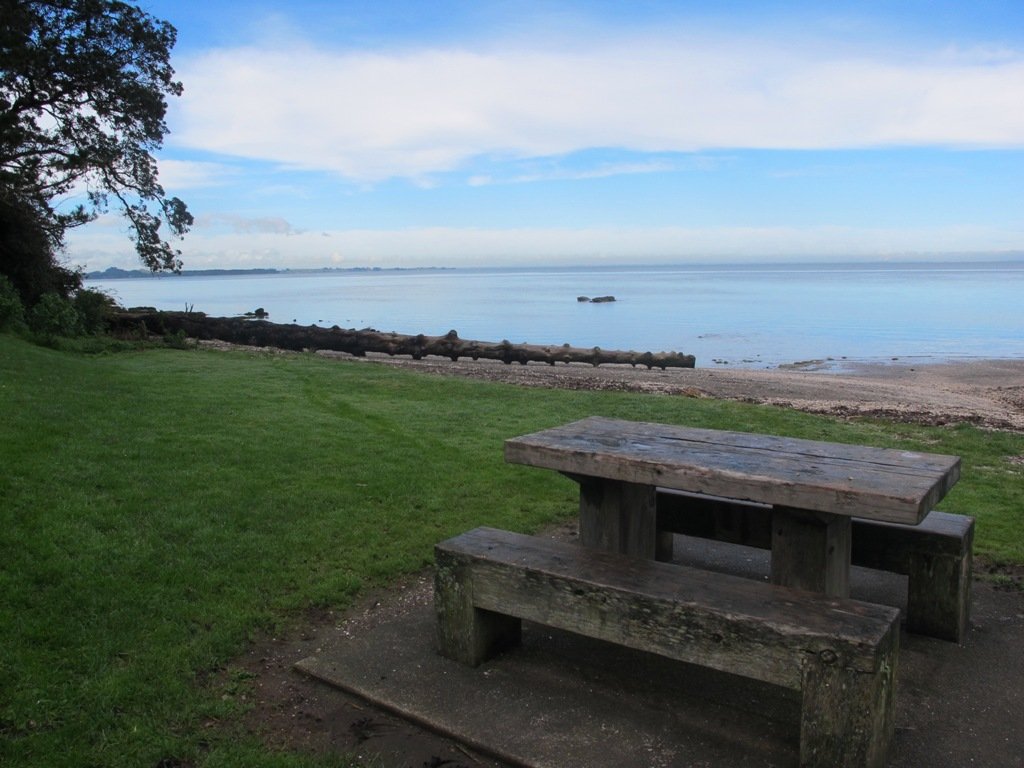
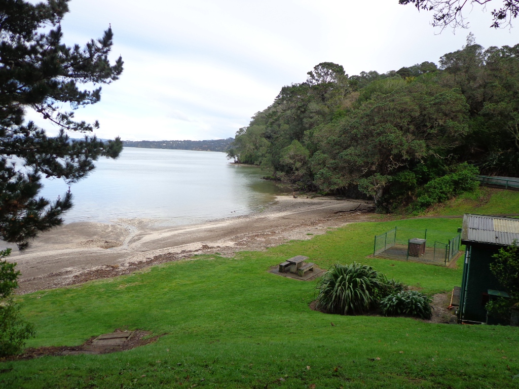
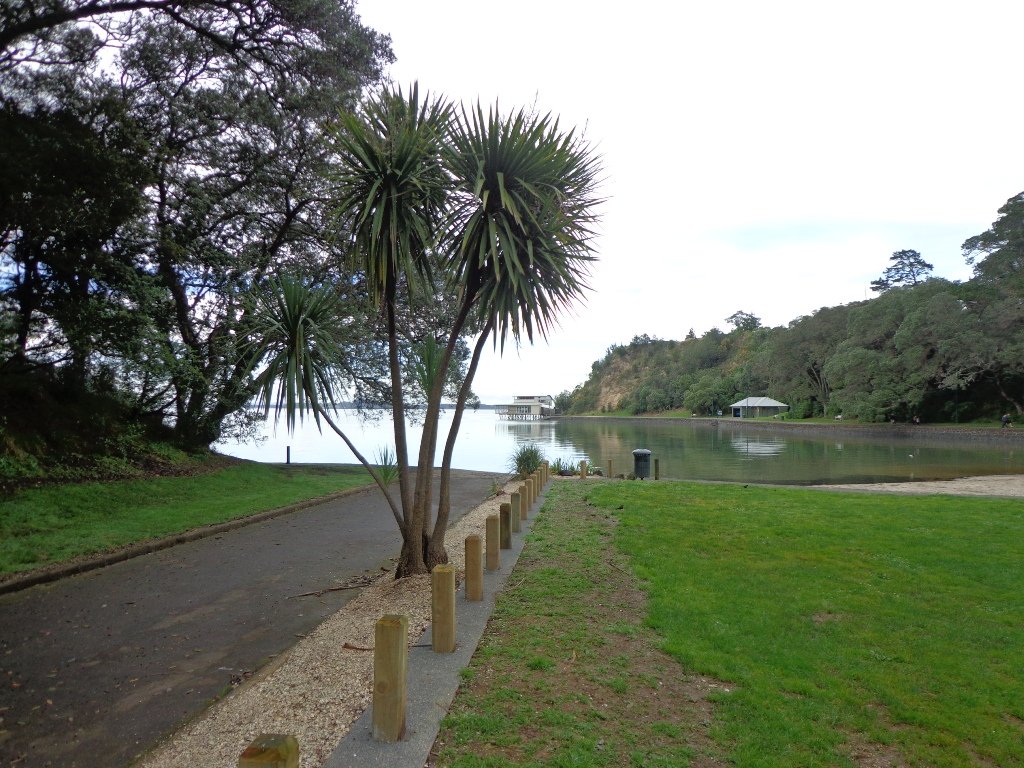
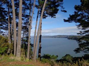
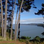
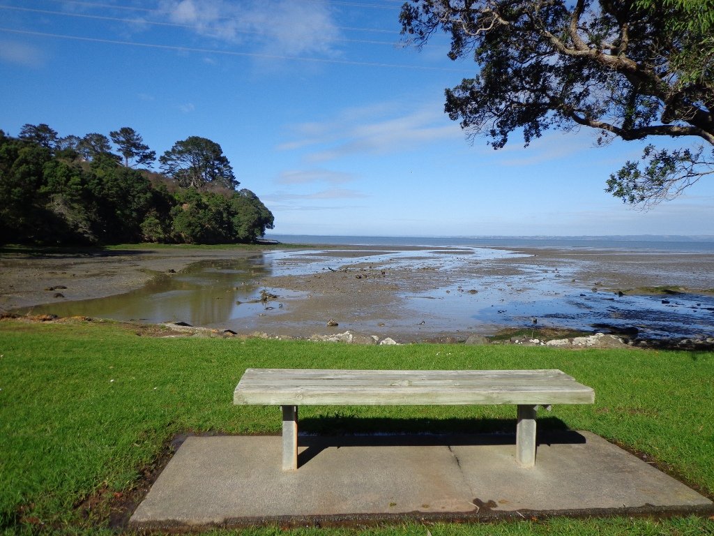
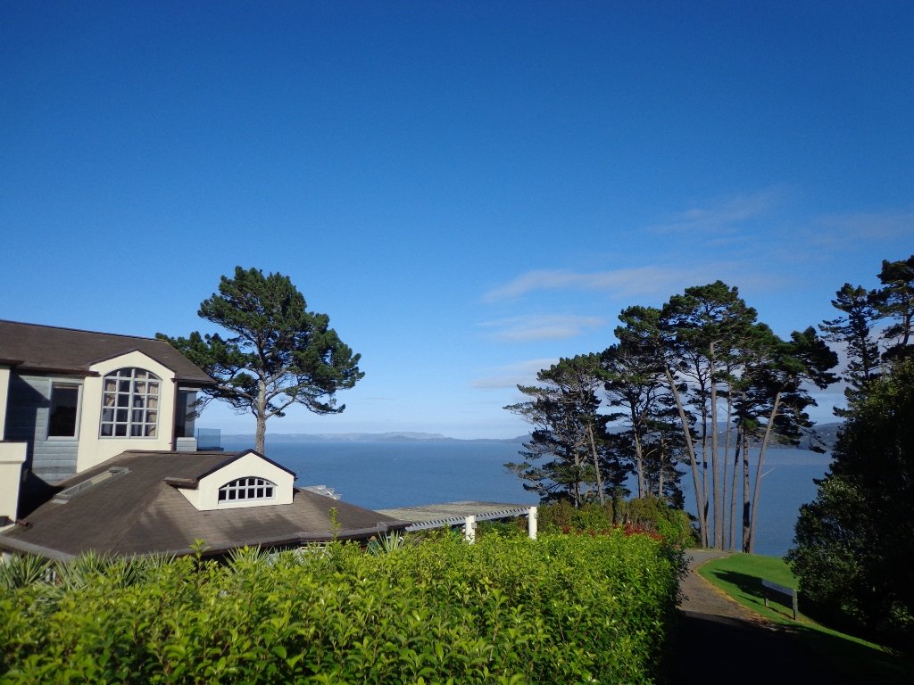
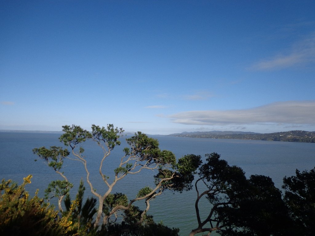
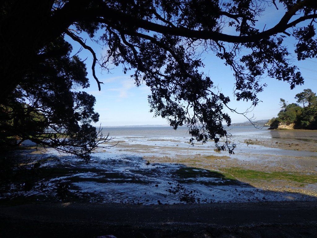
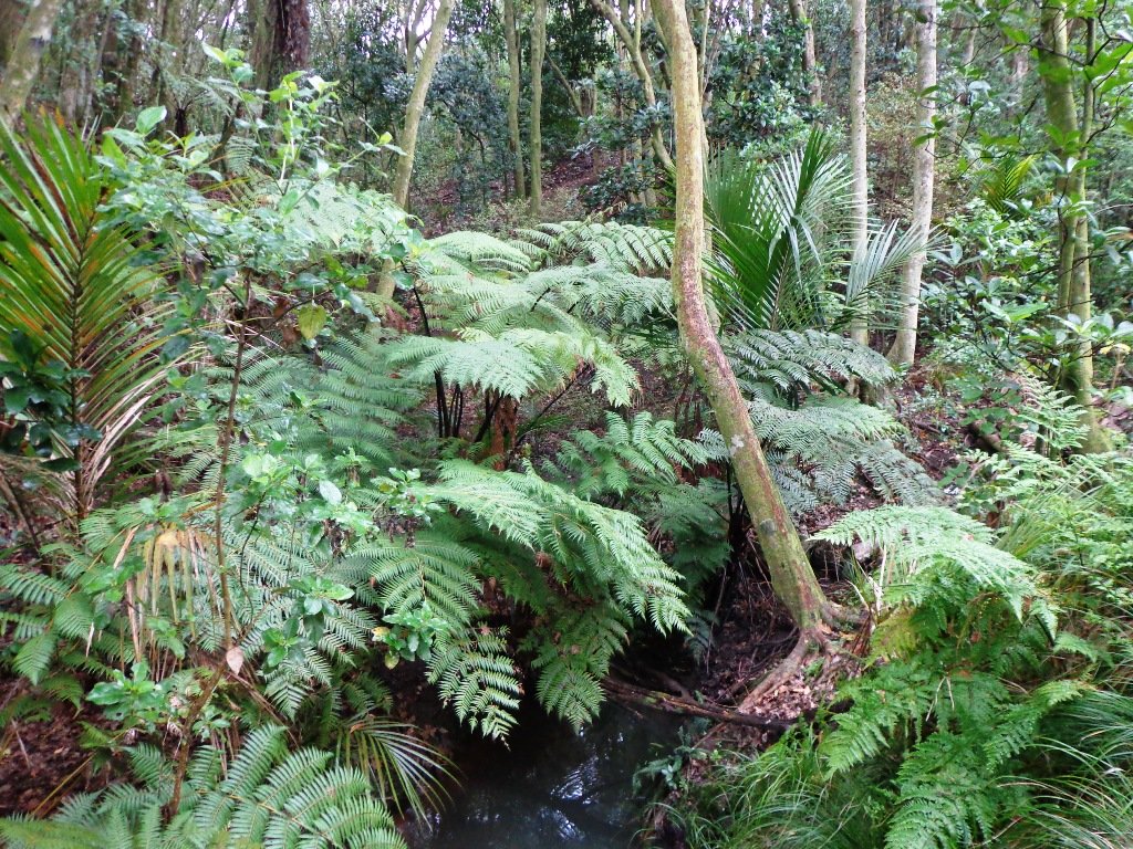
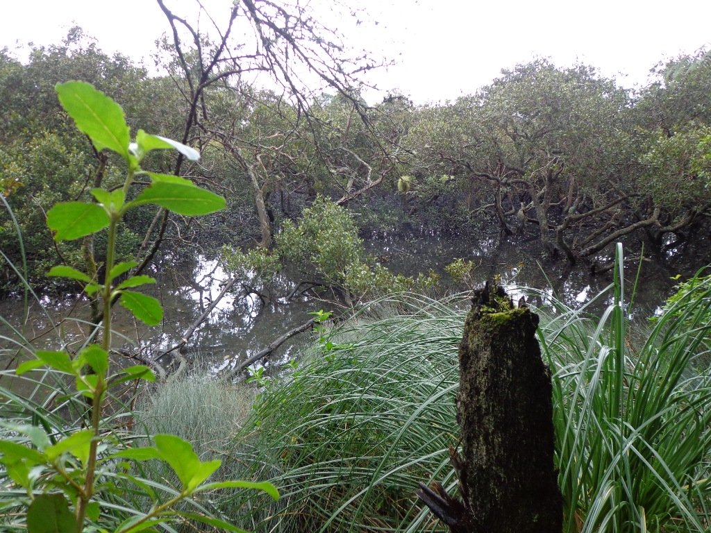
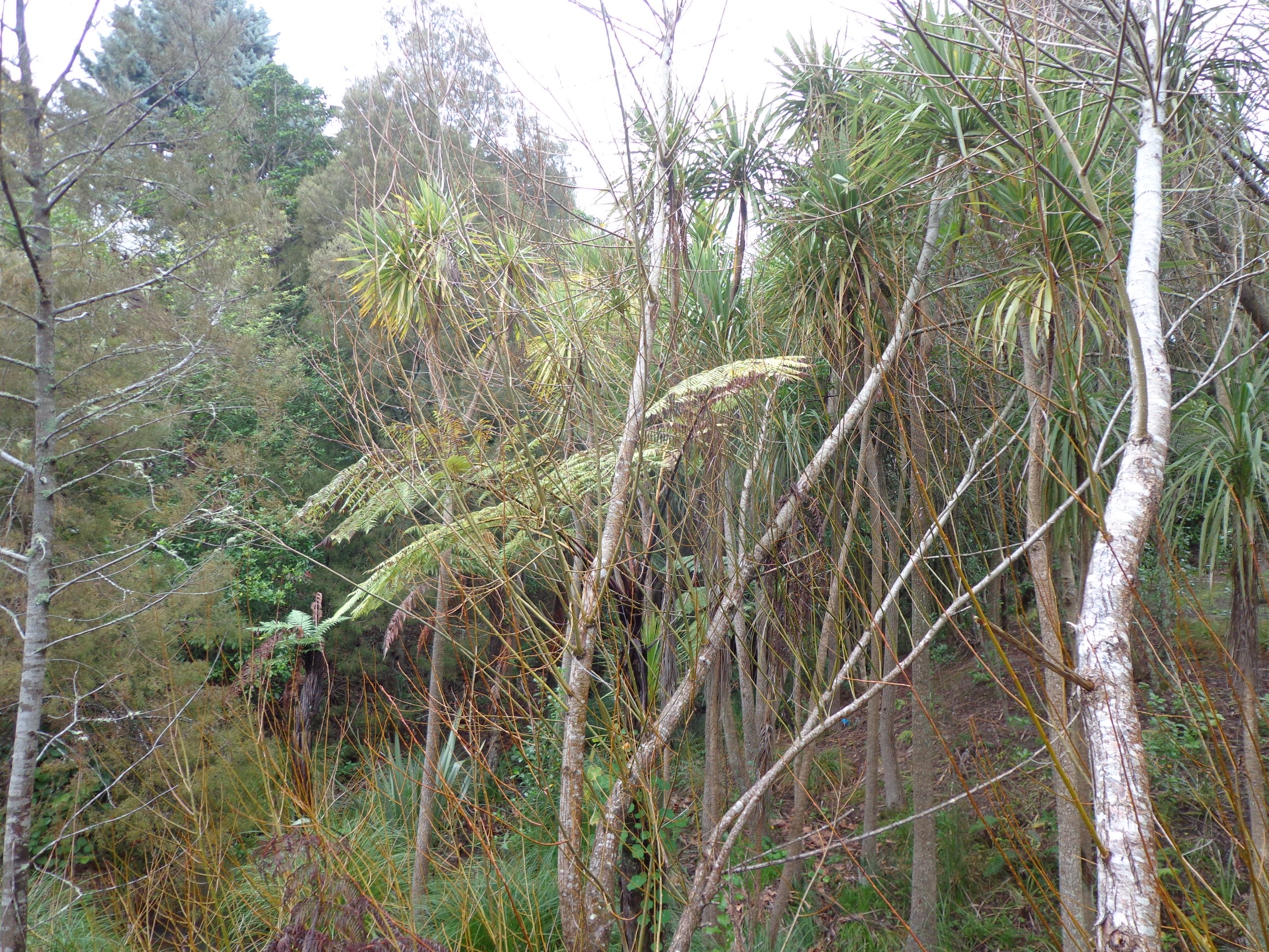
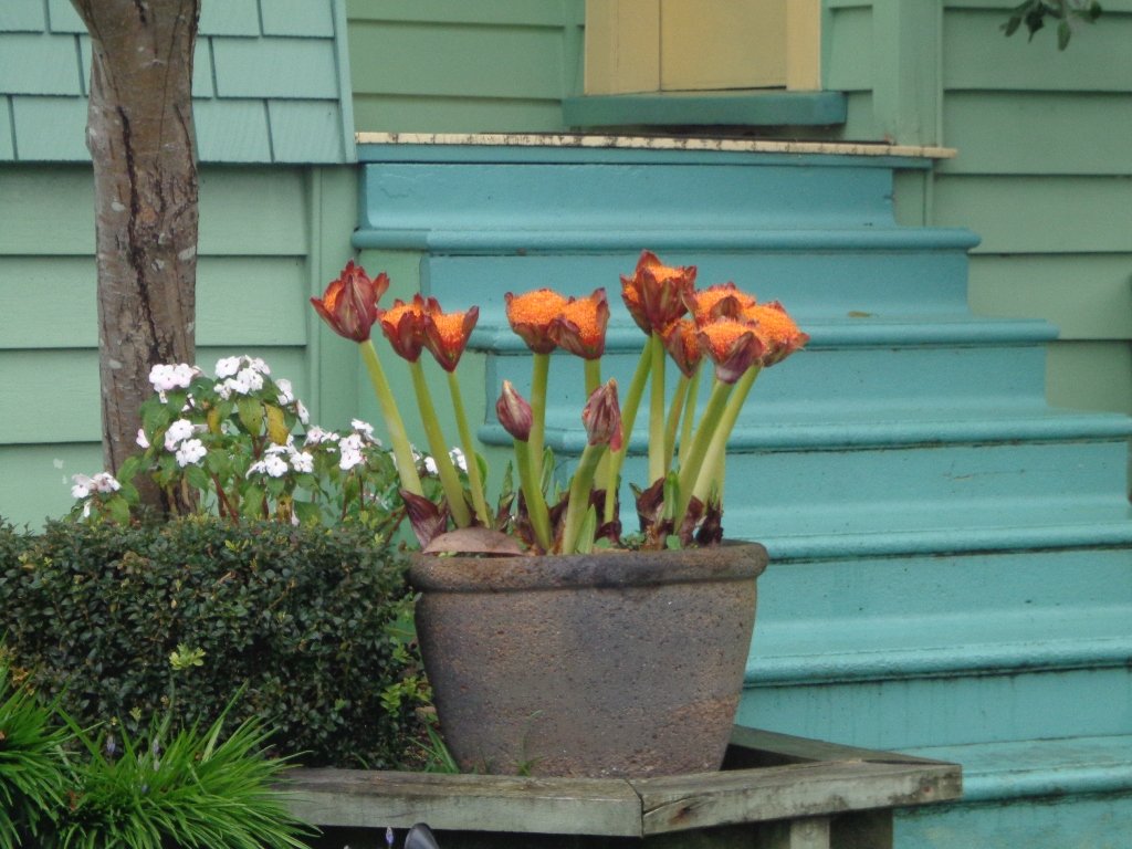
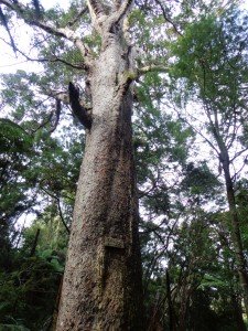
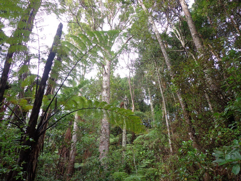
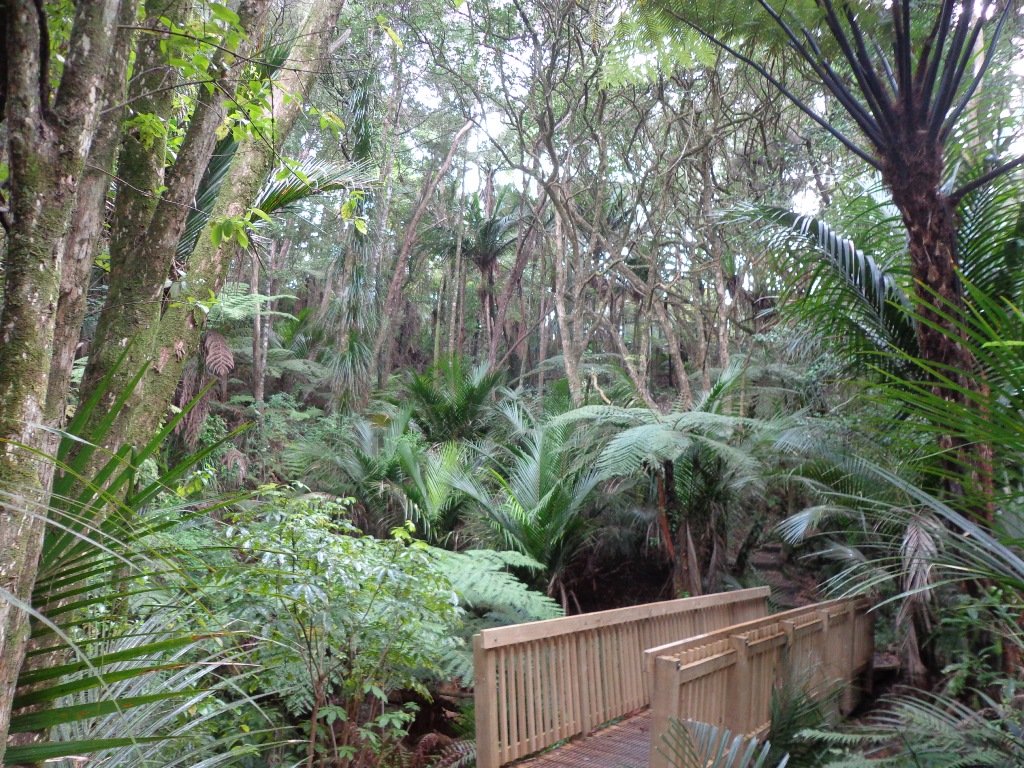
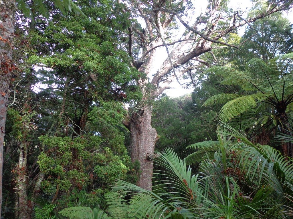
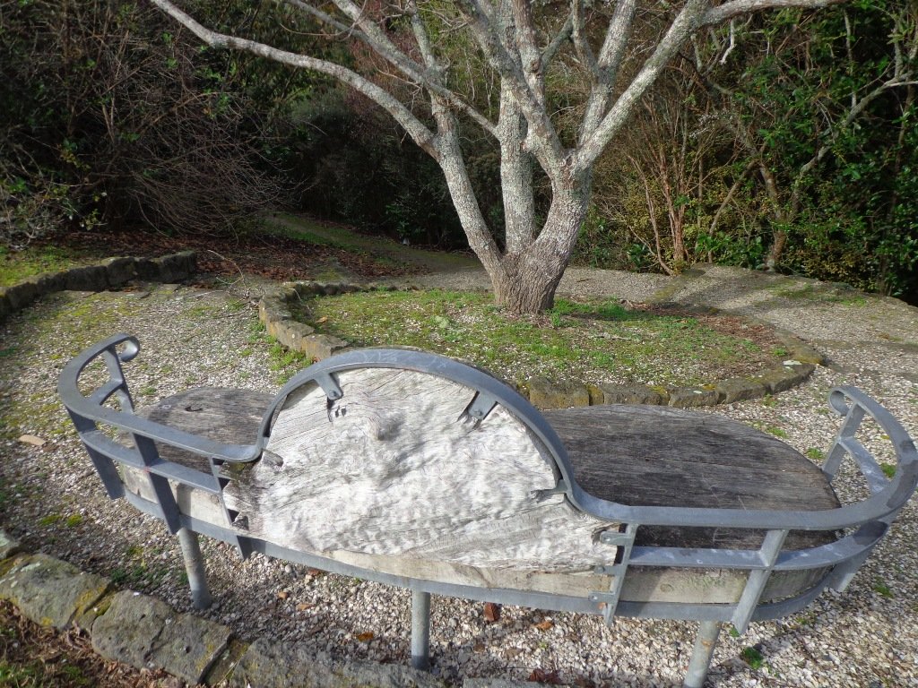
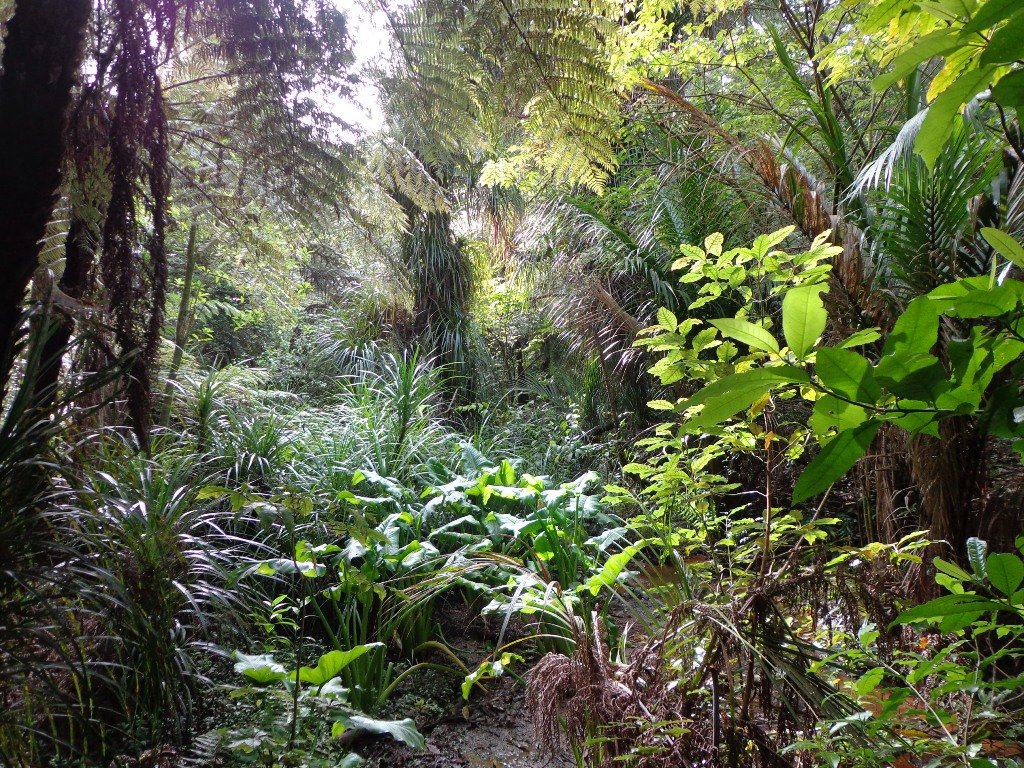
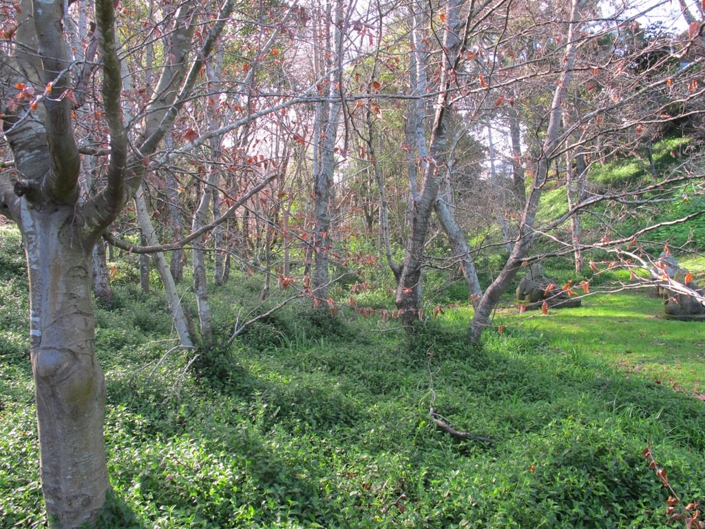
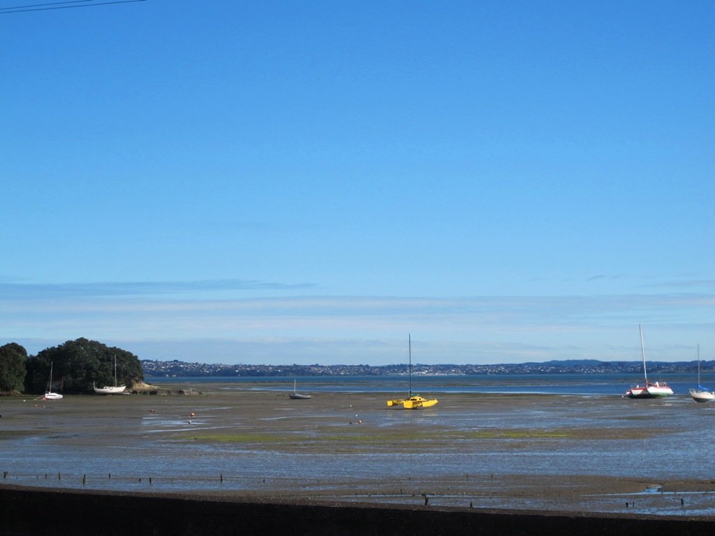
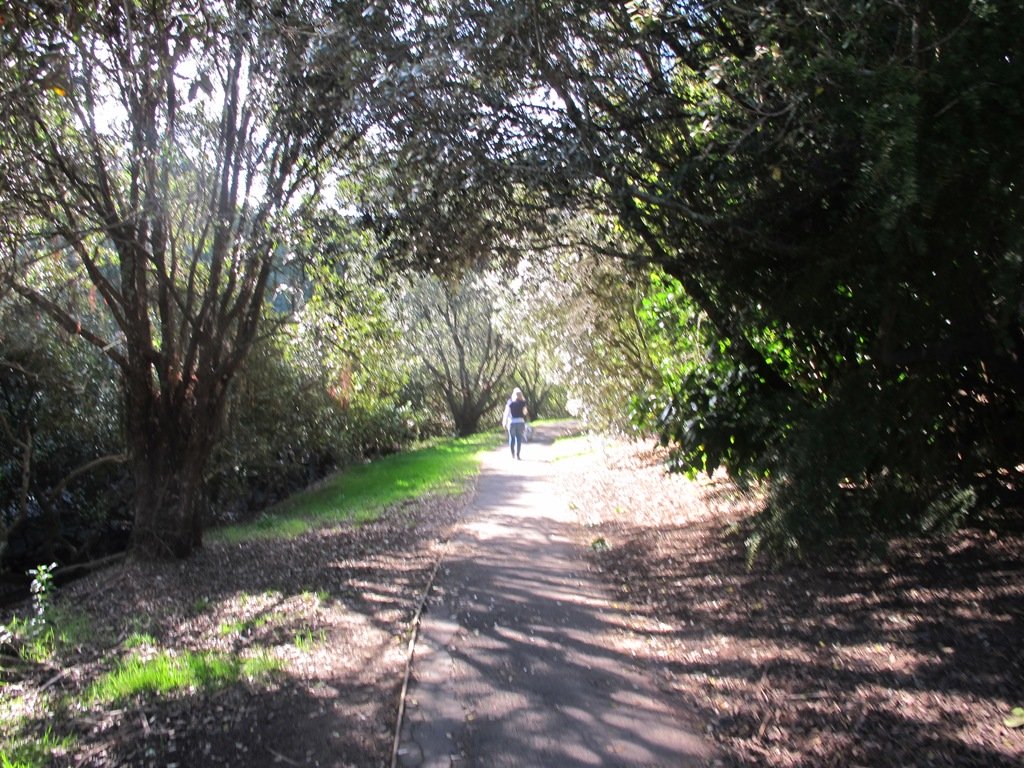
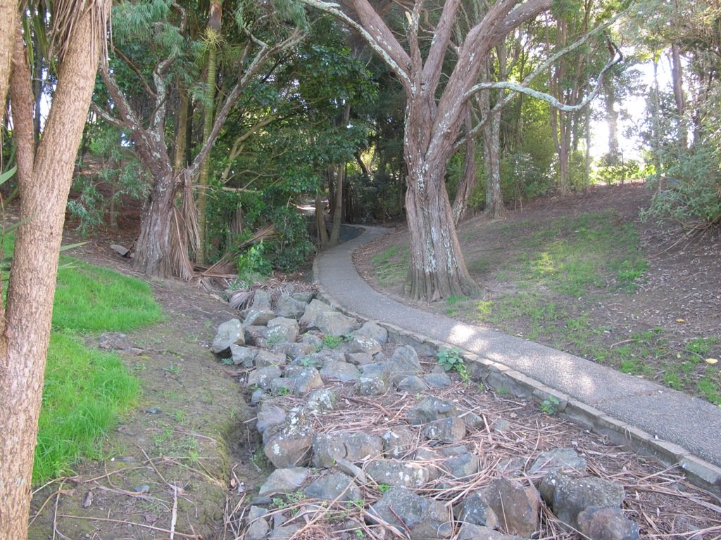
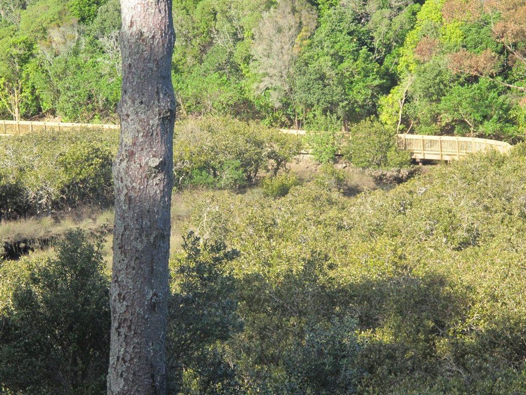
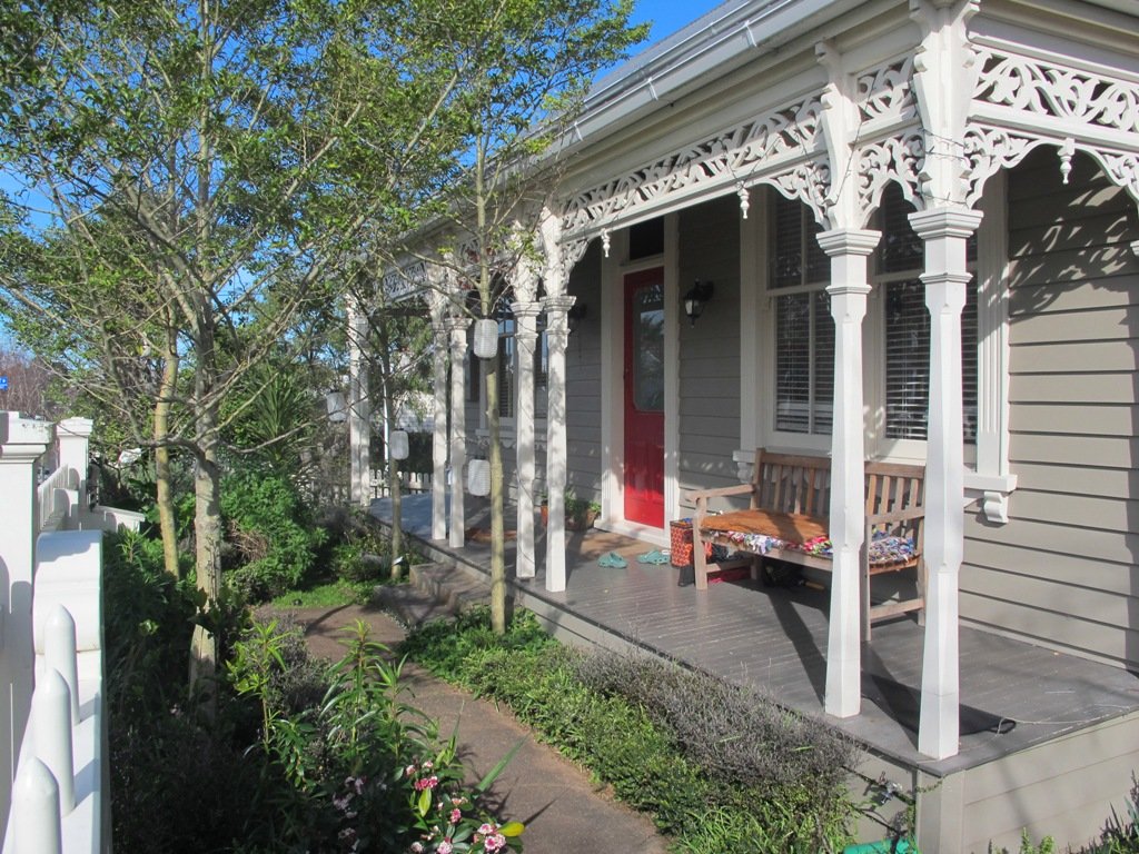
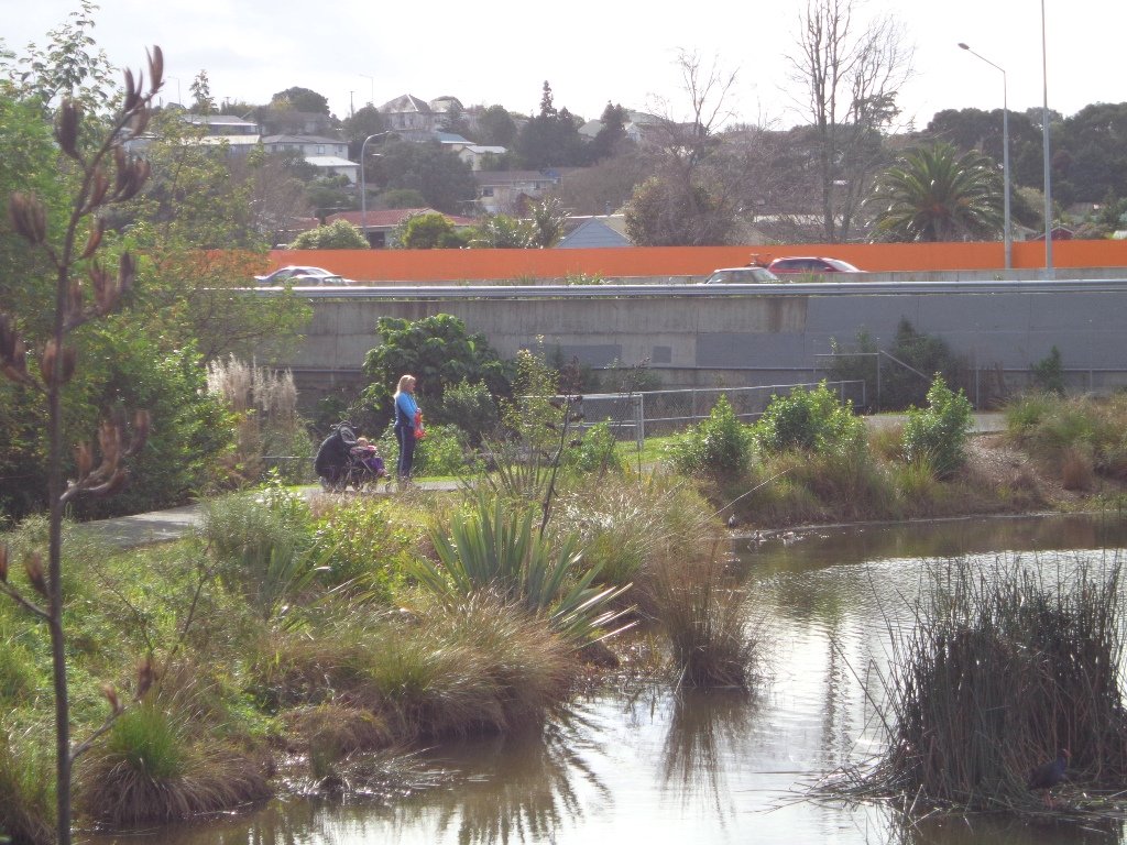
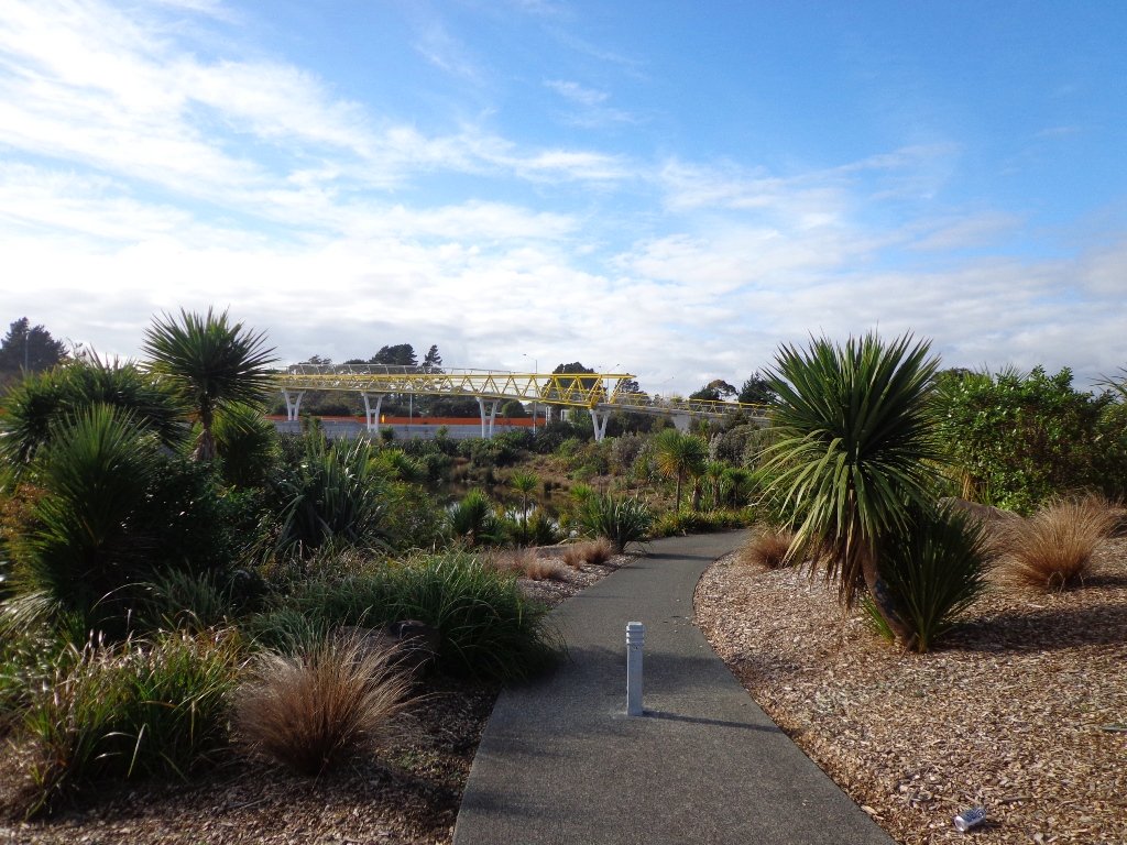
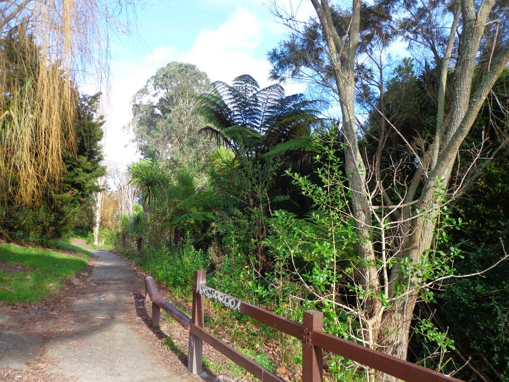
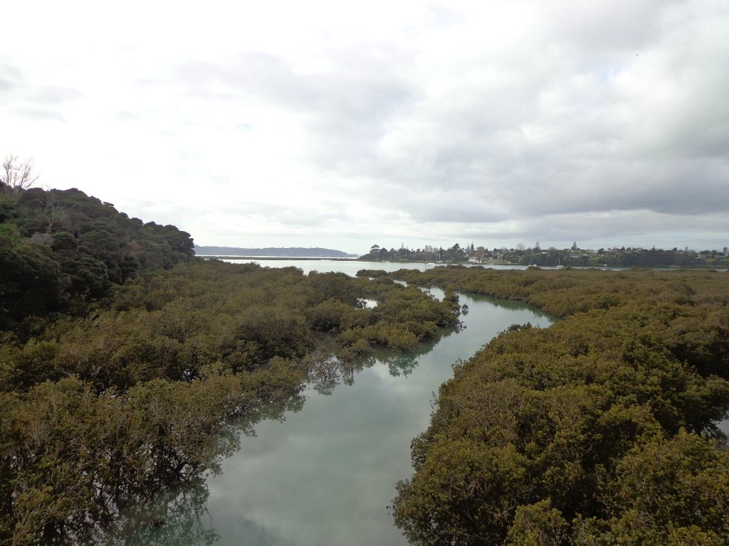
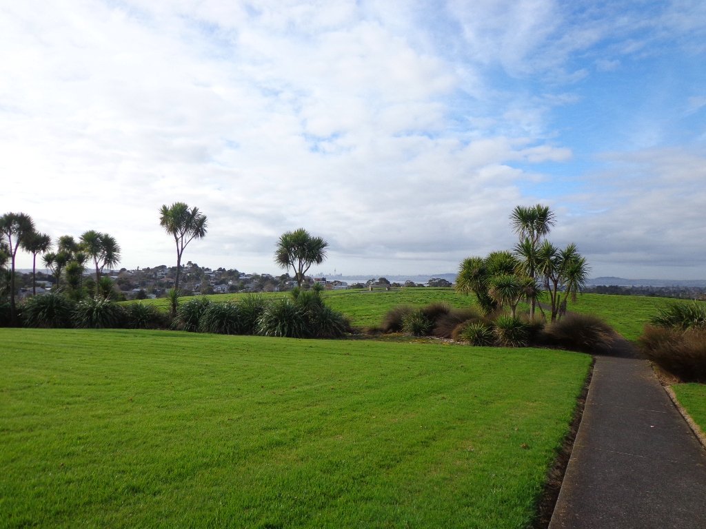
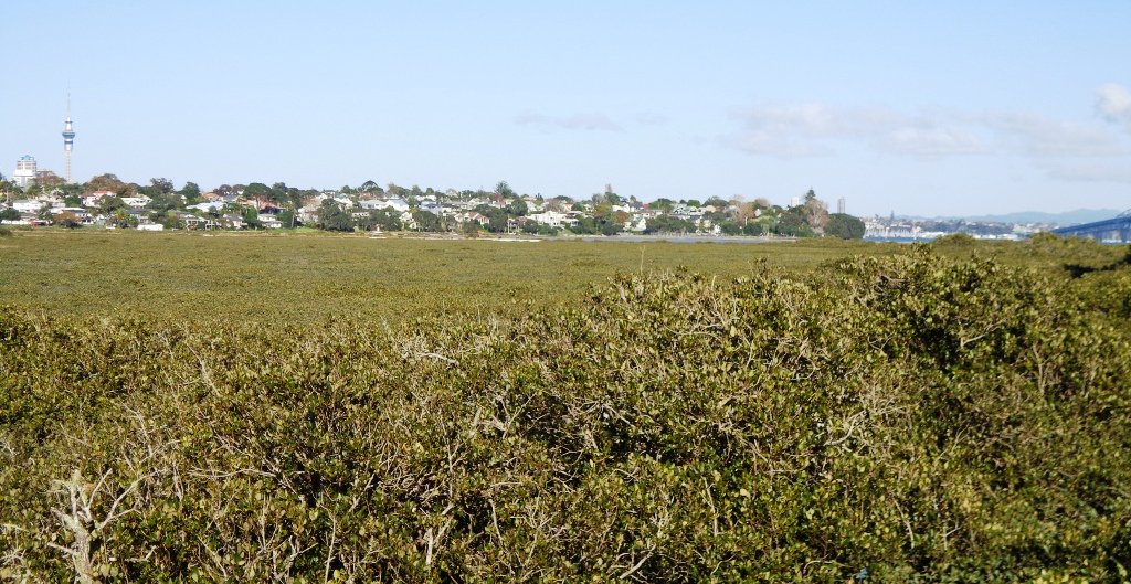
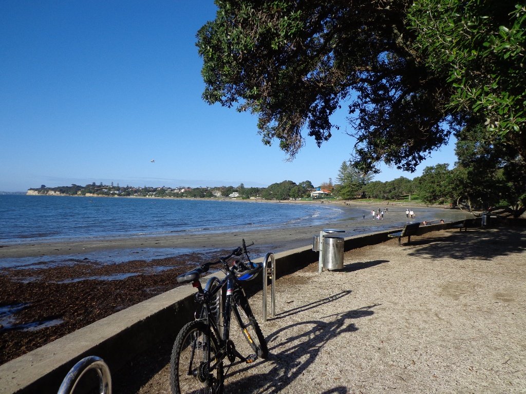
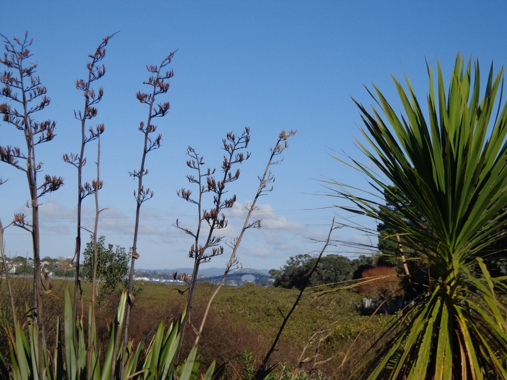
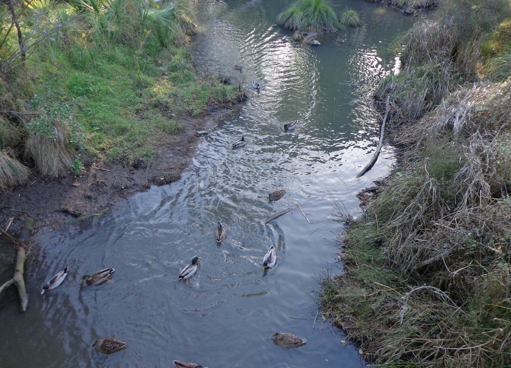
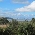
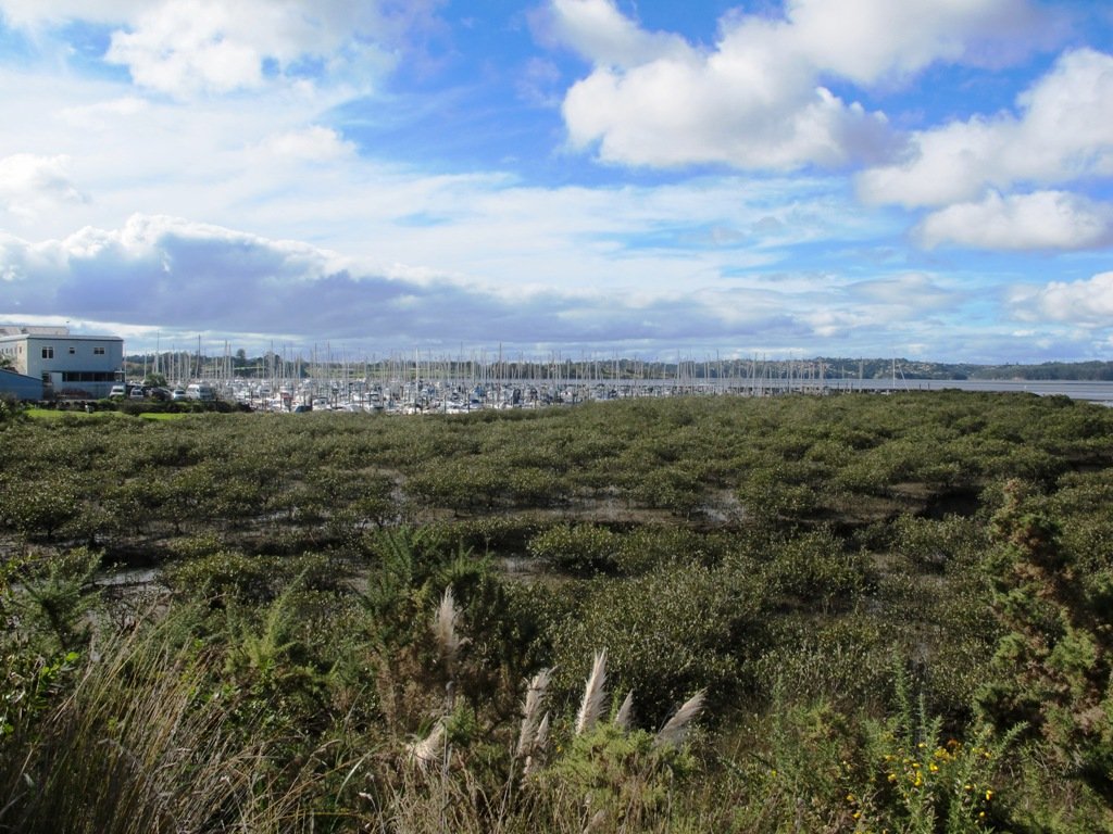
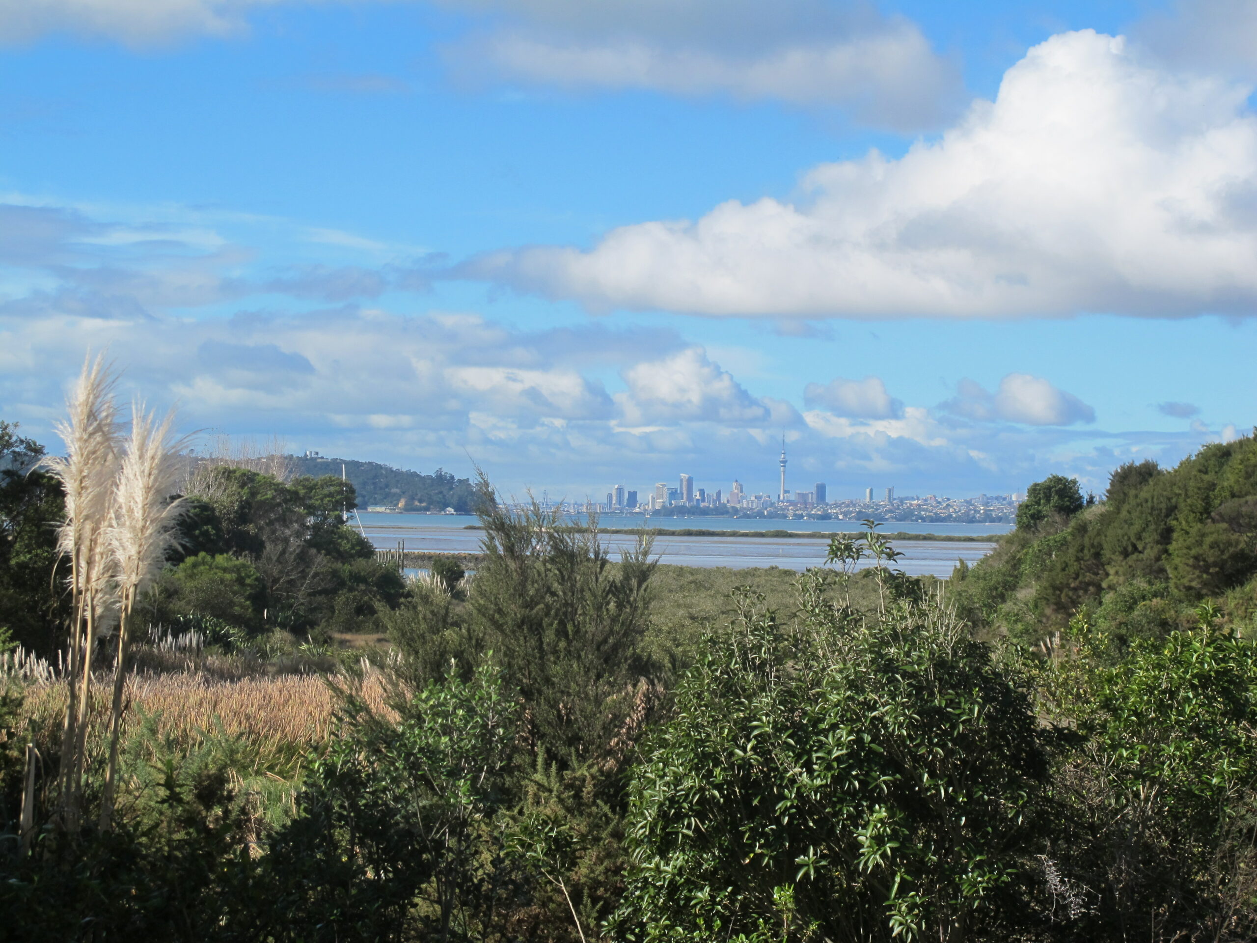
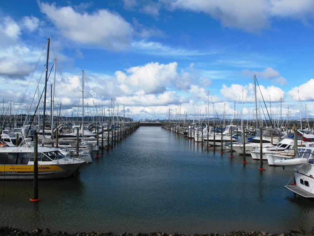
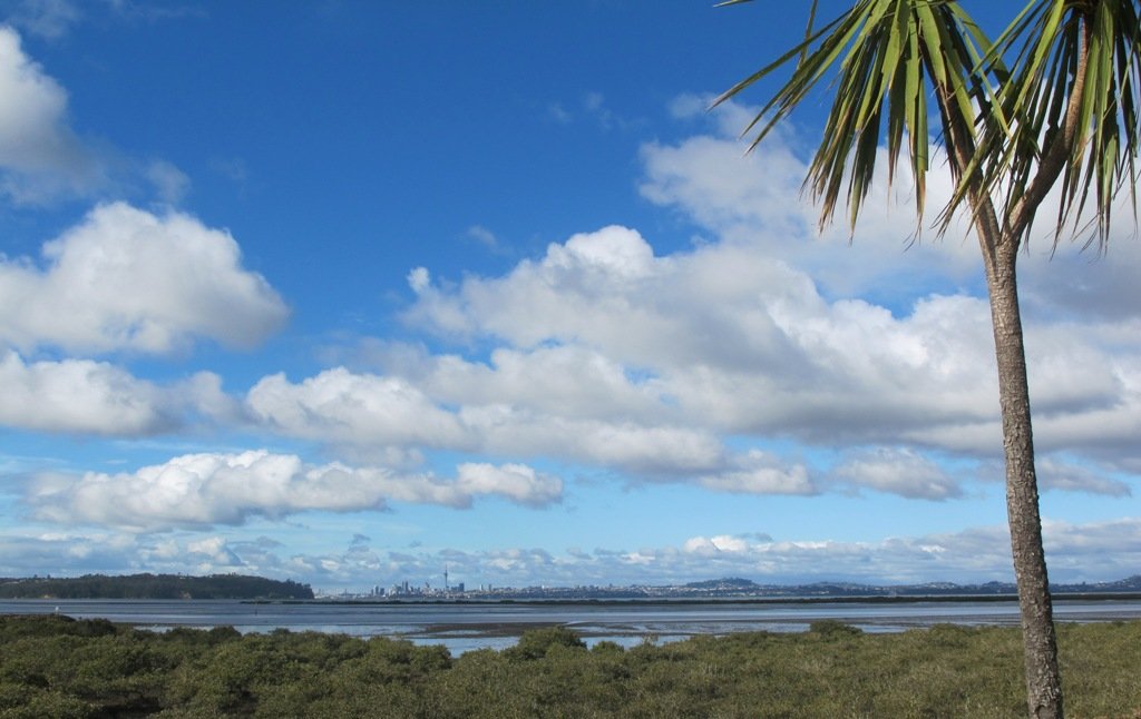
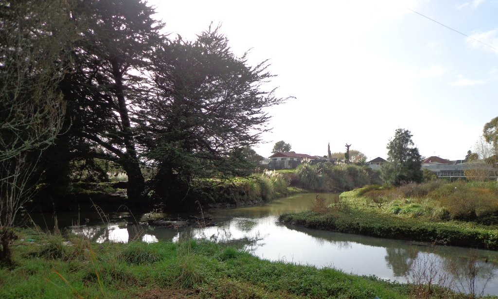
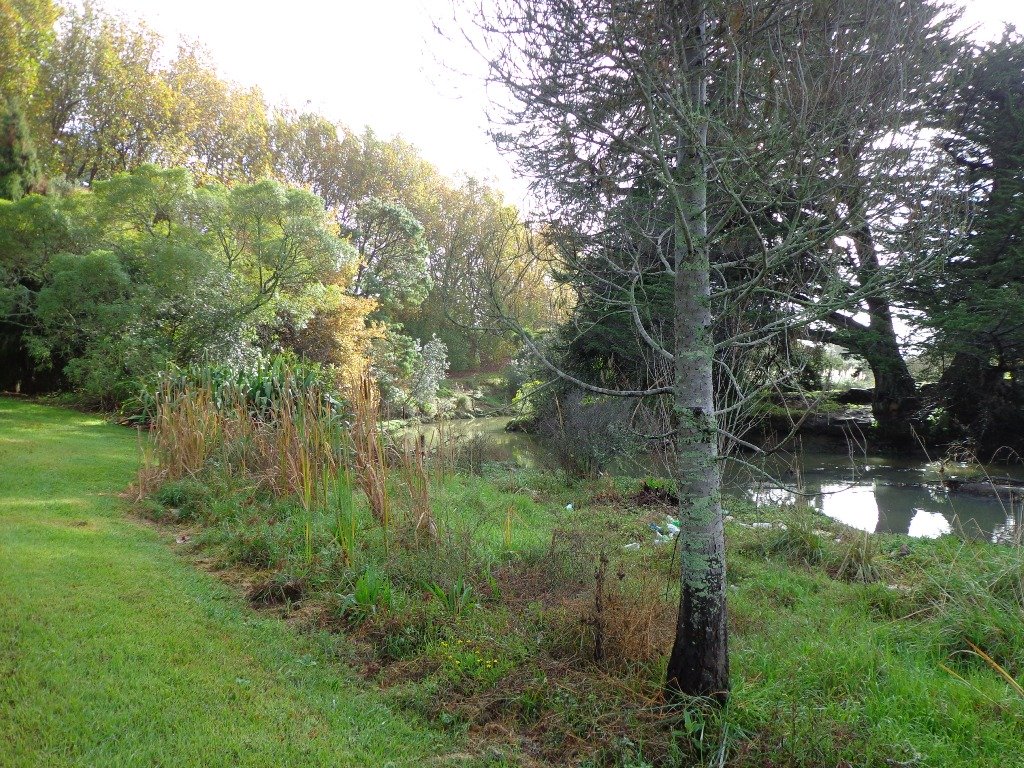
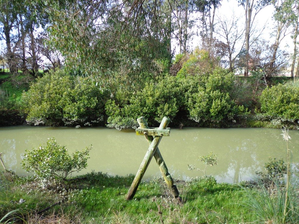
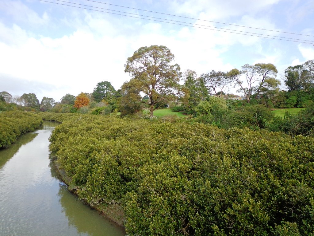
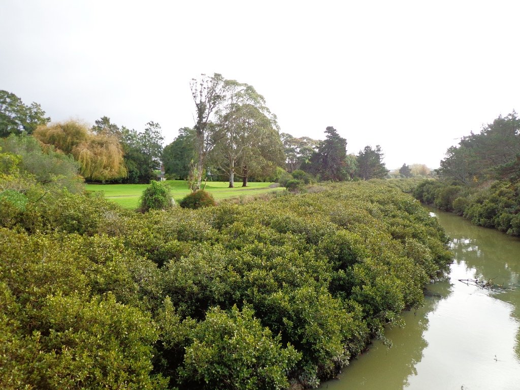
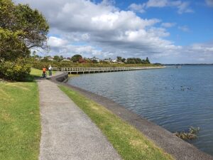
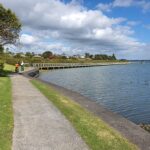
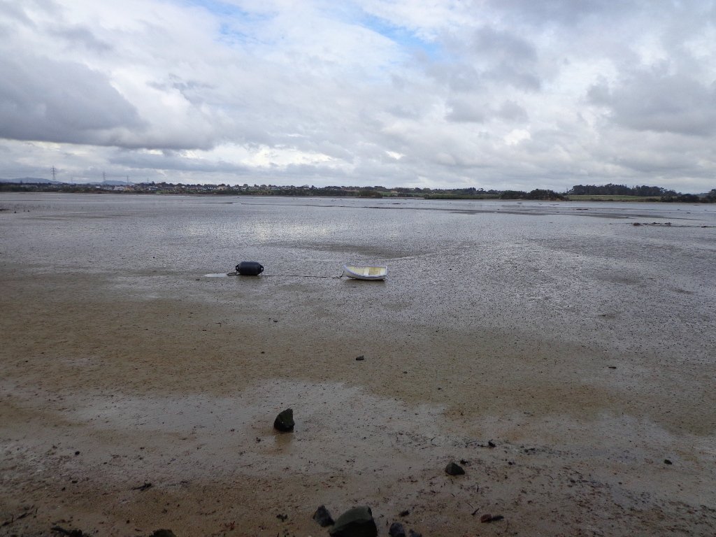
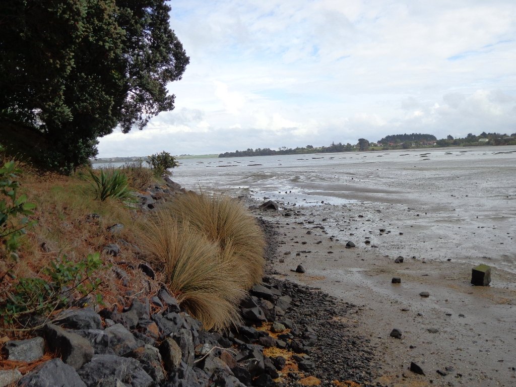
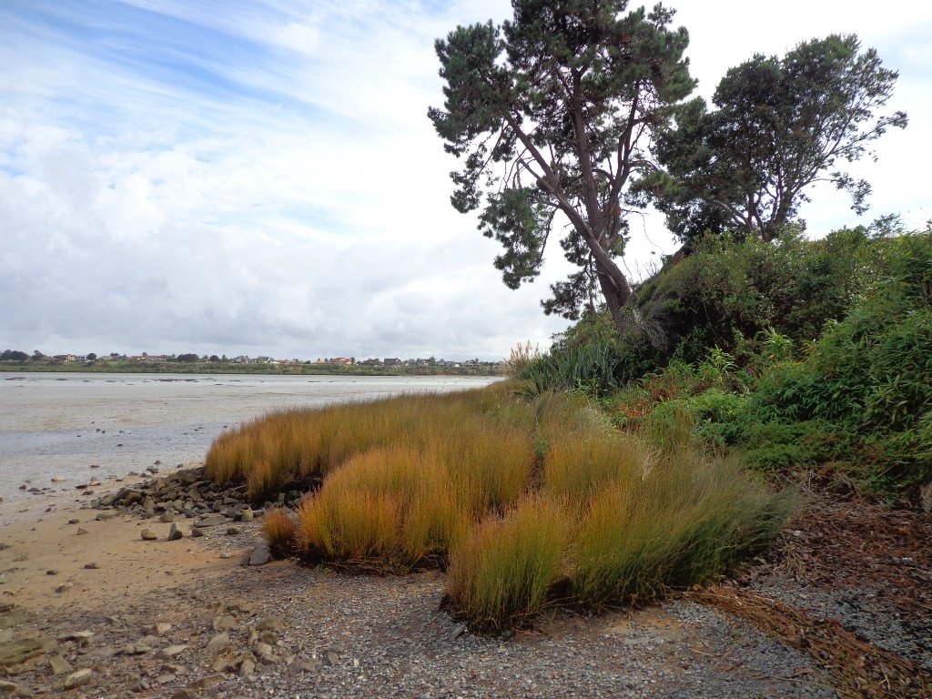
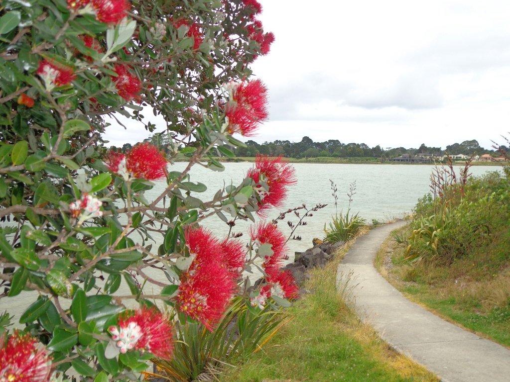
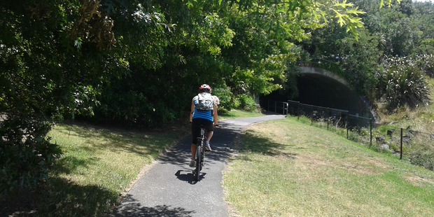
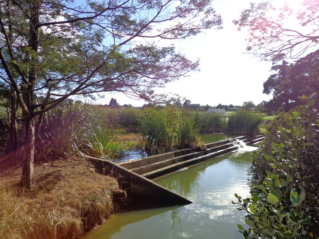
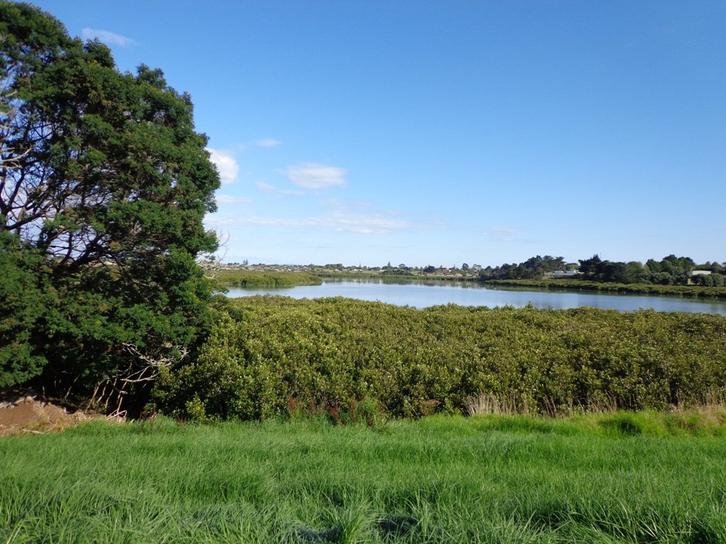
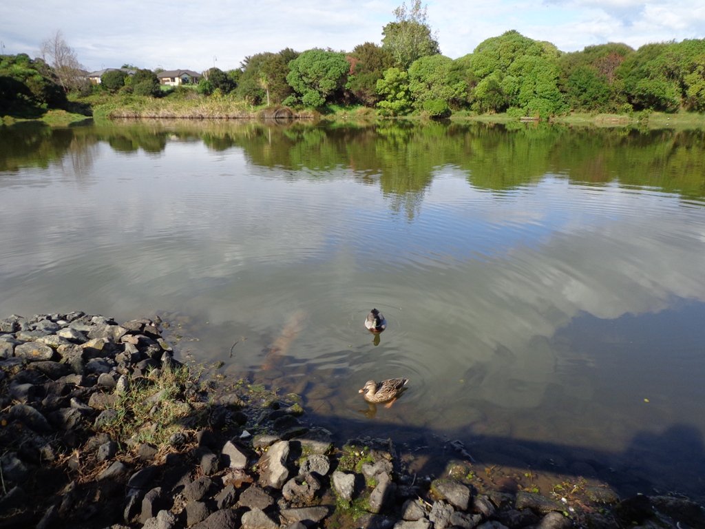
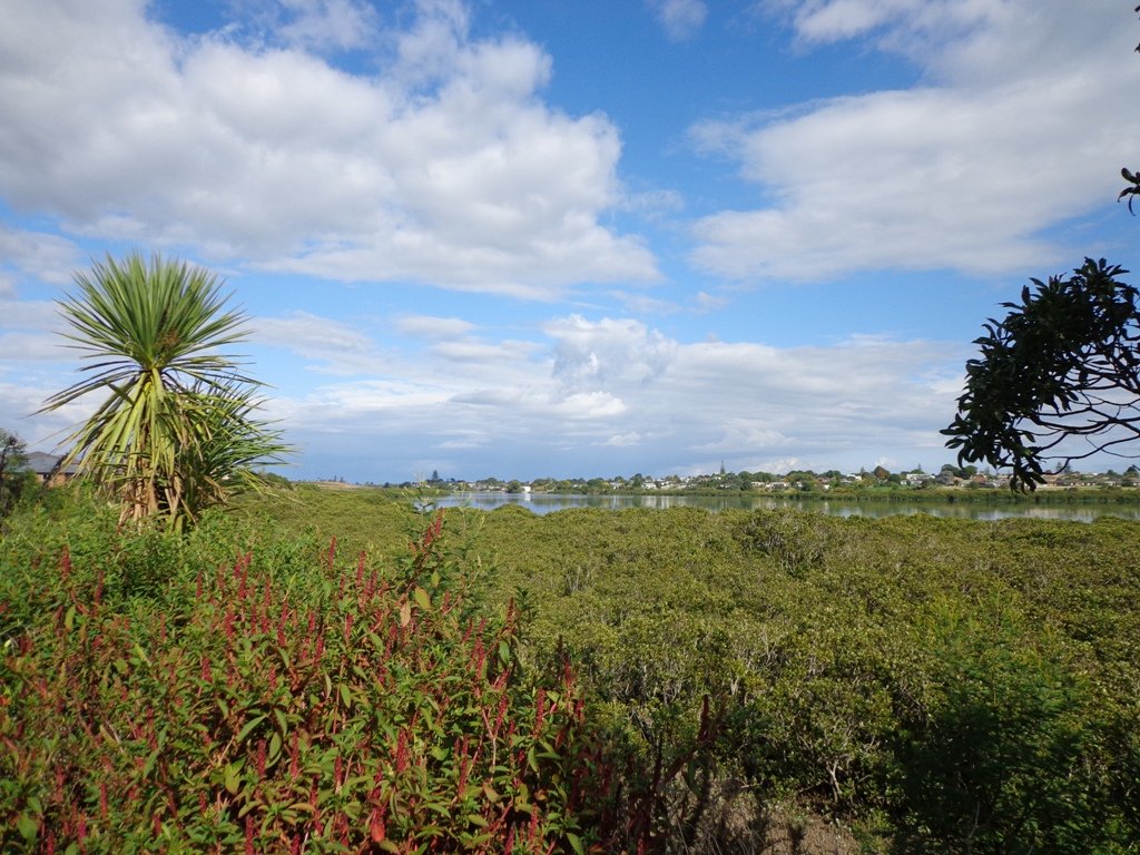
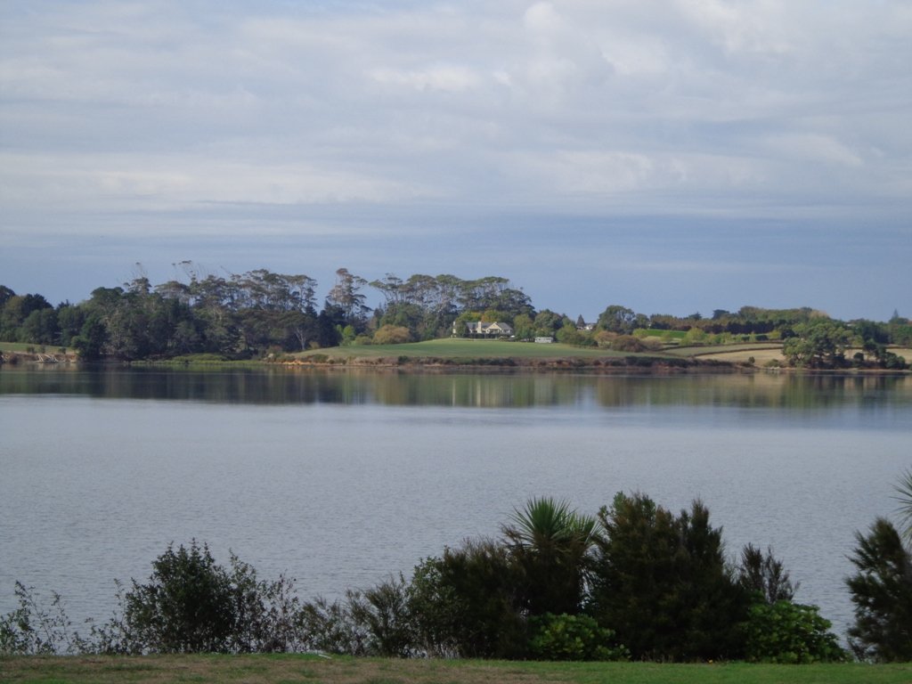
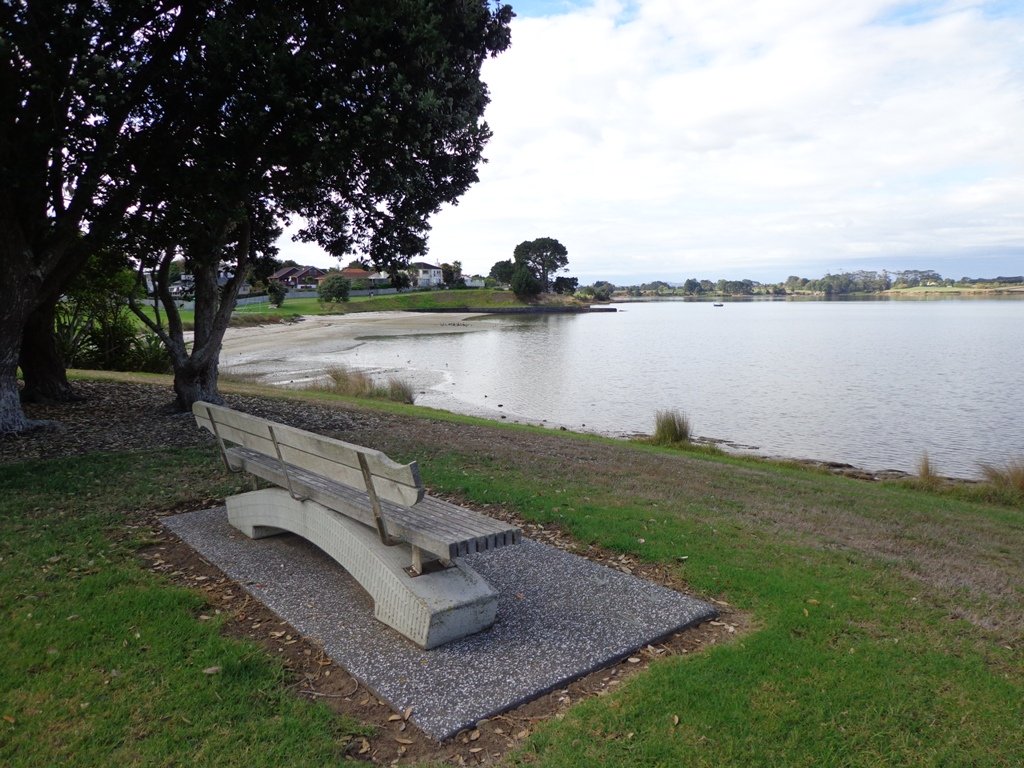
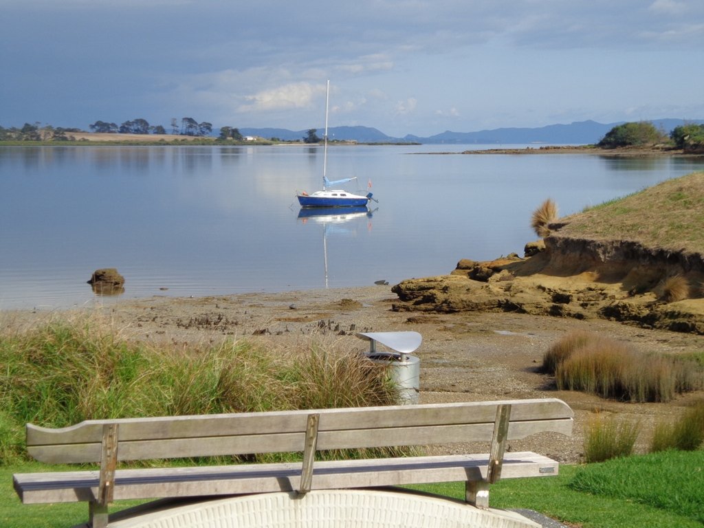
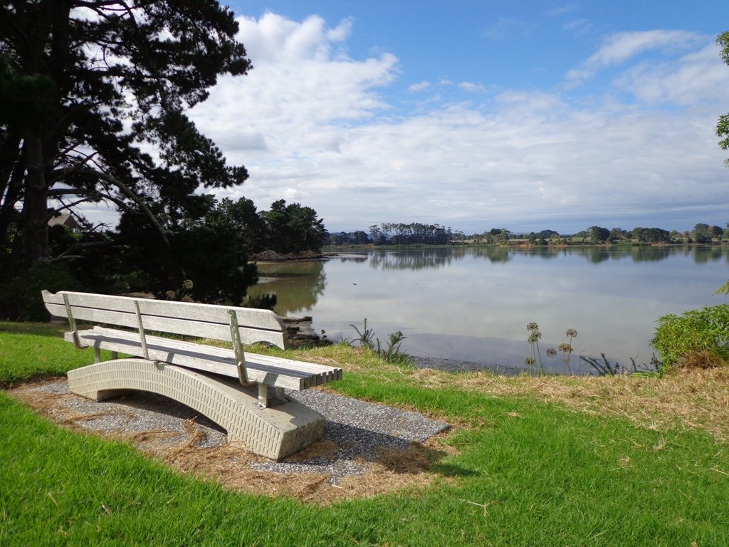
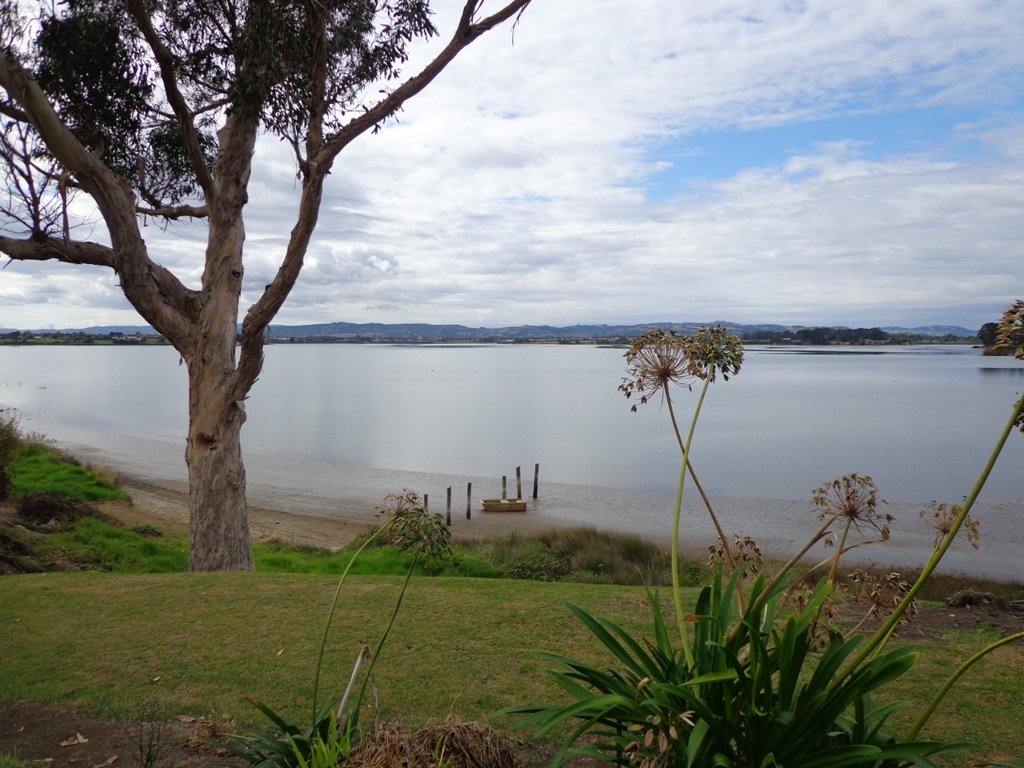
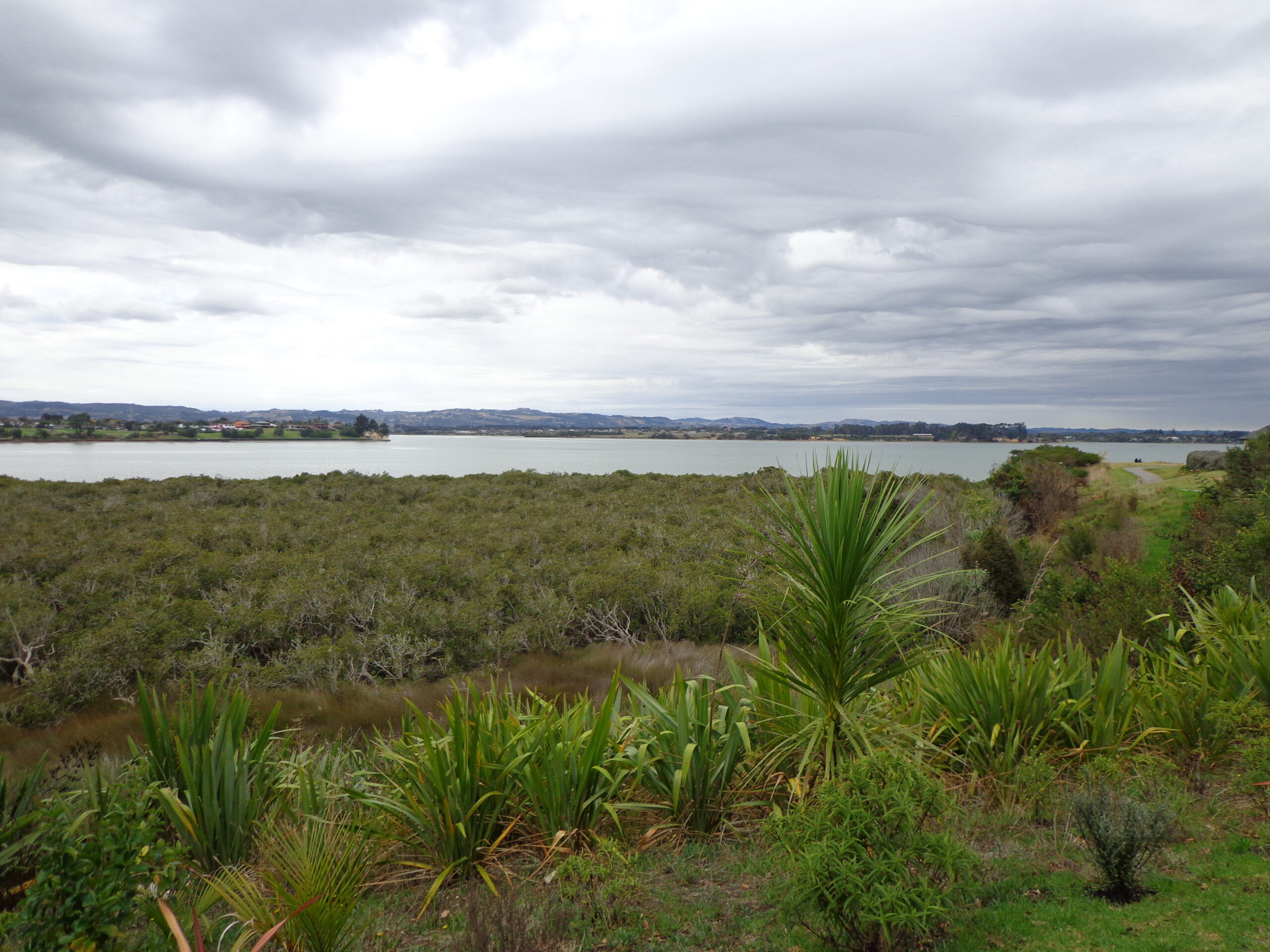
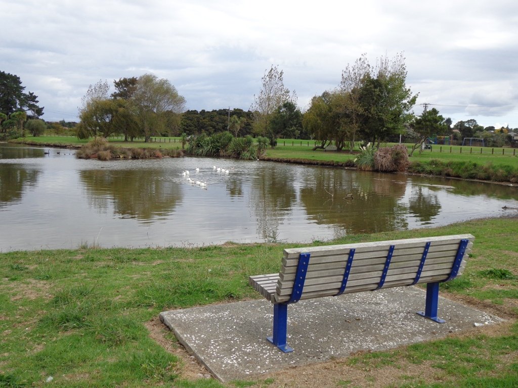
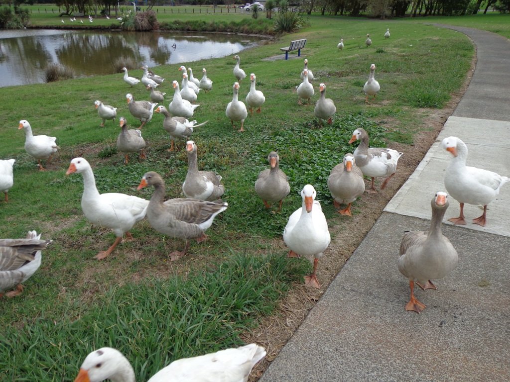
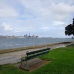
As always, it is uplifting to walk along the esplanades and parades of Devonport with the view across the Gulf and to the skyline of the city and beyond. And then the joy of looking at the beautifully kept Victorian style homes.  Followed by the sounds of birds as we walked alongside Ngataringa Park.

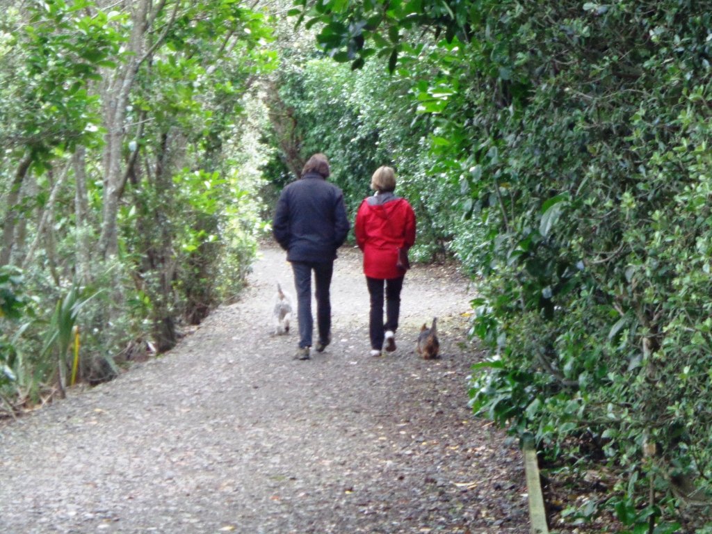
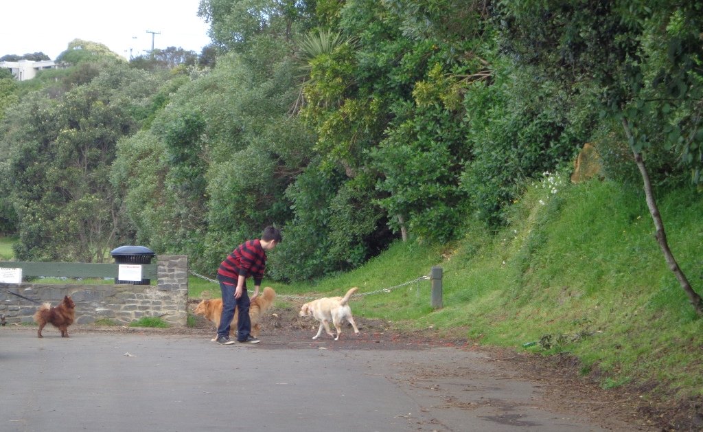
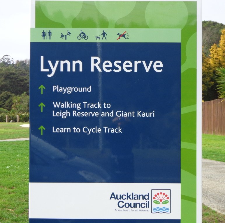
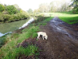
Dogs – off leash exercise area in Ngataringa Reserve.

We are then spoilt for choice as to where to stop for refreshments, and choosing from the many cafes can take time!

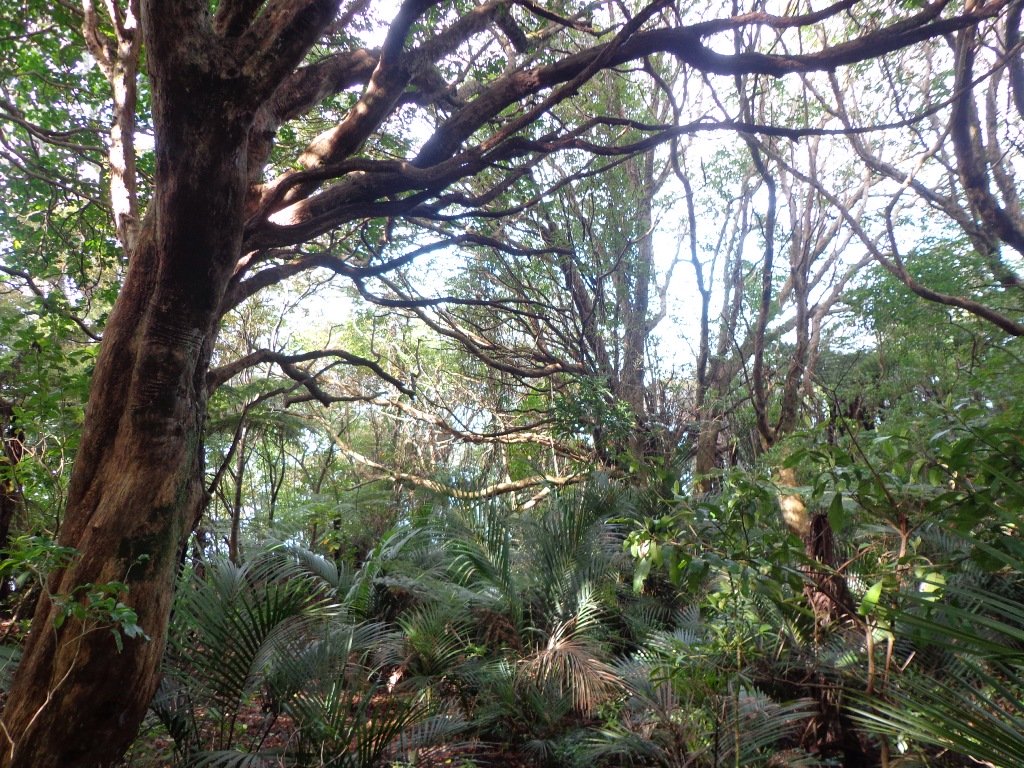
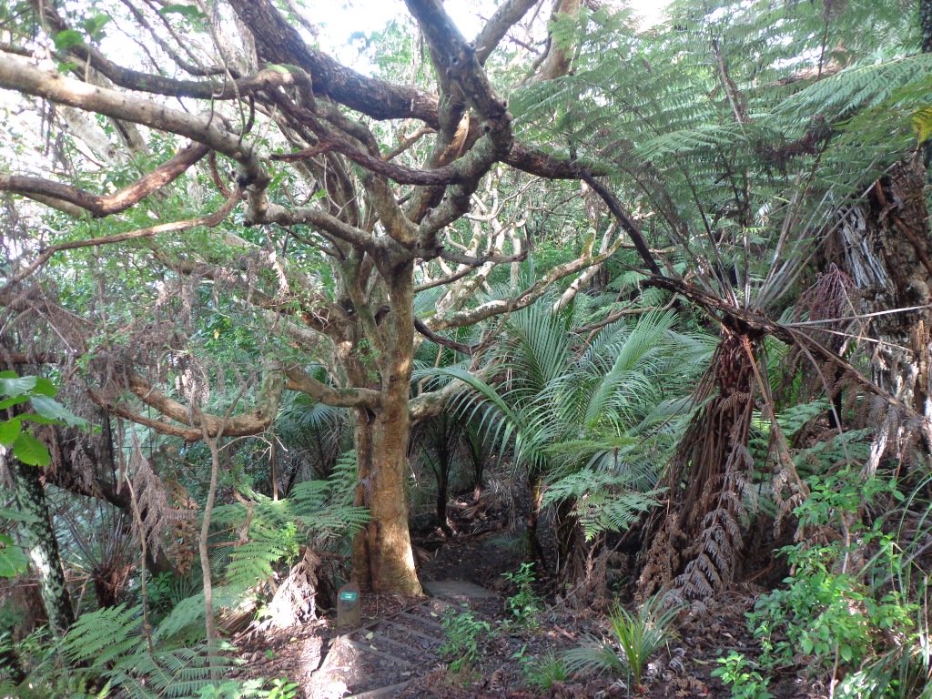
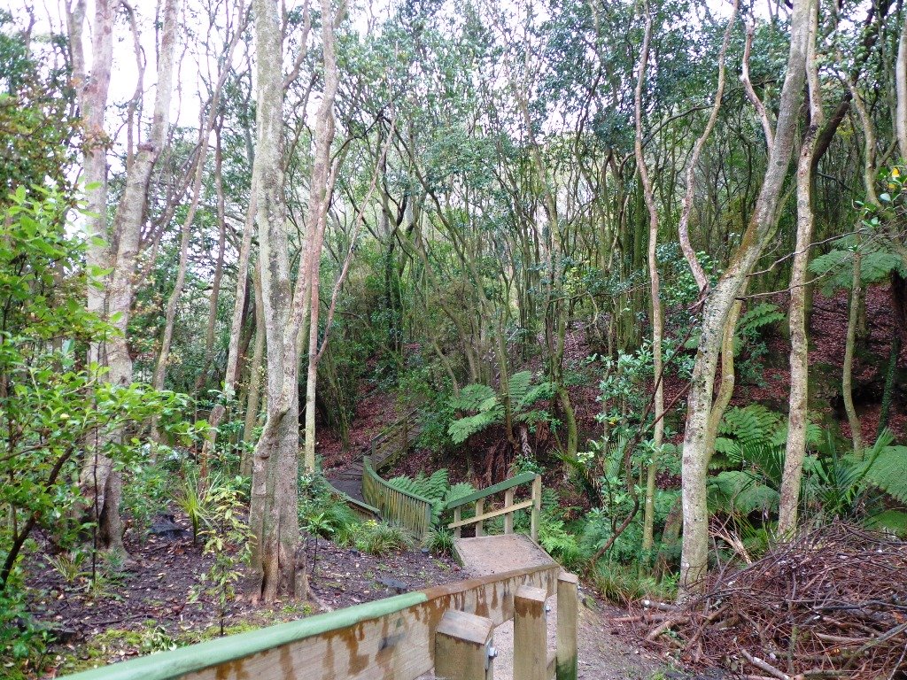
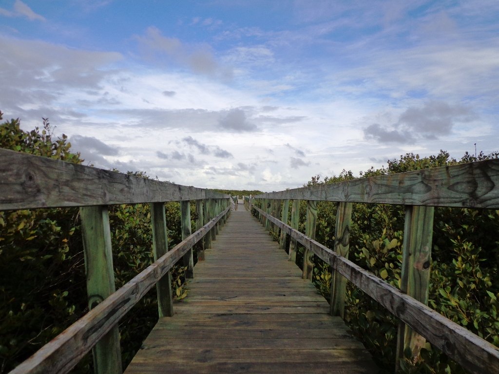
Description: A mix of level paths, steep paths and steps. Suitable for most ages and levels of fitness and mobility, designed with flat shoes or running shoes in mind. Not suitable for wheelchairs and pushchairs.
To see:  Hauraki Gulf and Auckland City views, historical buildings, Victorian style homes.
Time: approx. 60 minutes (about 5.5 kms).
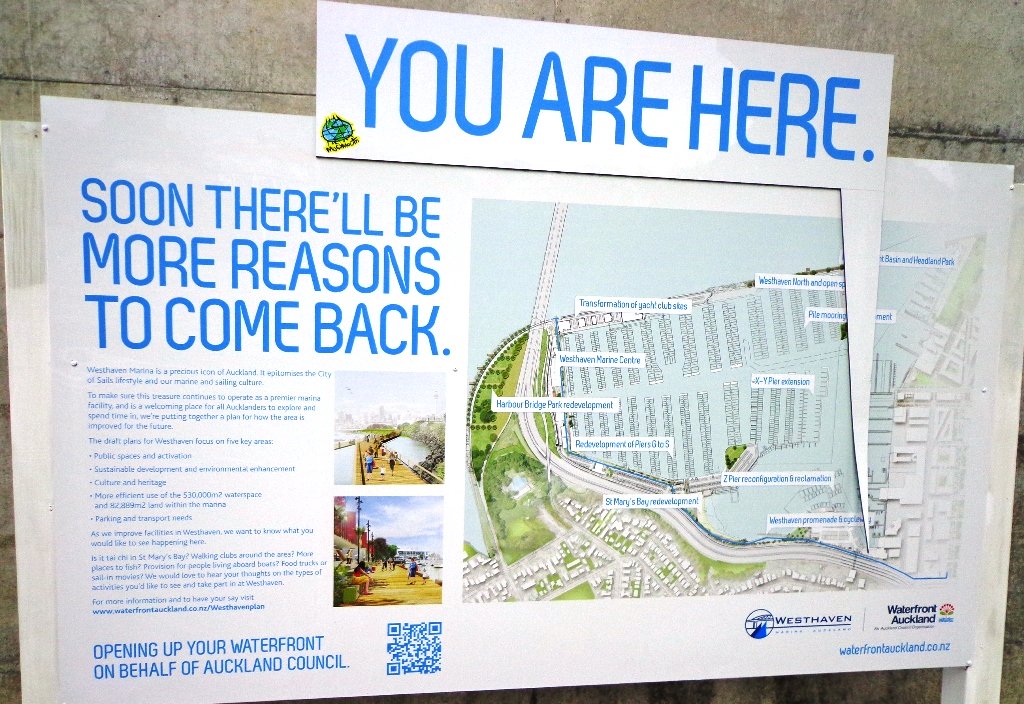
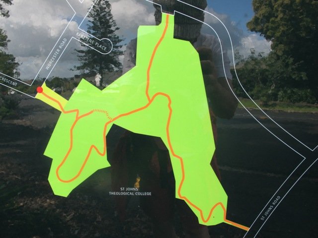
Parking:  In Devonport Village near ferry terminal or along King Edward Parade. MAP

Stay on track…find this walk’s map and directions guide (AN-089 Devonport Ngataringa Loop) and other walk self-guides at our Walk Store

Westhaven Loop Walk

It has been a while since we have headed down to Westhaven and Point Erin Park.  We found three good reasons to make a return visit. It seemed appropriate to be down at Auckland’s waterfront while TeamNZ was enduring their second race of the competition for the America’s Cup! We had watched the new pedestrian bridge crossing the motorway from the steep steps of Jacob’s Ladder being built, but still had not traversed it.  And the dark grey clouds threatened rain and we did not want to be a long way from shelter.

Westhaven Pedestrain Bridge

And the results were…TeamNZ won their second race, the pedestrian bridge looks better when you are on it and we stayed dry!

Since we last visited,  the Council has built a new pathway that runs alongside the motorway, with panels that effectively screen the motorway traffic noise. It promises to be beautiful in December when the red flowers of the pohutukawa trees are in bloom.

Dogs – this walk includes an off leash dog exercise area.

Westhaven Promenade - short walks in Auckland

30th January 2015: The Westhaven Promenade is now open. This will form part of a 20km continuous walkway and cycleway that runs from Herne Bay in the west to Tamaki Drive in the east. Read more: Westhaven Promenade

Description: Mainly level paths, two flights of steps. Suitable for users of average fitness and mobility. Running shoes suitable.
To see:  Auckland City views, Rangitoto Island views, harbour views, Harbour Bridge.
Time: approx. 45 minutes. (about 4.24 kms).
Point Erin Park for Dog off leash area, Playground, Picnic site. Children’s scooter friendly apart from the steps.
Start: Westhaven Drive, Saint Mary’s Bay (Harbour Bridge end) MAP

Dog friendly walks in Auckland - part three

Suggested cafe: Sitting Duck

Stay on track…get your detailed guide and map over at our Walks Store  (AC-088 Westhaven Loop) and our Book Store (one of 12 walks featured in our book “Dog Friendly Walks part 3”).

Orakei Basin Walkway extended

It’s been a while since we explored the Orakei Basin area.  The Auckland Council has done extensive work with the new boardwalks, repairing the slips on the bush track and concreting most of the walkway.

Families with young children would really appreciate having public toilets – there are none nearby. Either side of Lucerne Road there are steep inclines that could be unsuitable for parents to push a pram with their child in it, and also steep steps.

Orakei Basin Walkway © 2011-2013 Unleashed Ventures Limited

Today we explored extending the walk to include more of the surrounding suburb of Meadowbank – crossing bush-clad gullies and streams, the Waiatarua Bridge, the Orakei Creek Bridge and walking along Lucerne Road ridge.

This is a dog-friendly walk – the off leash area in the Orakei Basin Reserve between the waterski club and the carpark, is very popular.  The grassy area can be very muddy in the winter and gumboots are recommended.

Description: A mix of level and steep paths, steep steps. Suitable for most ages and levels of fitness and mobility, designed with flat shoes or running shoes in mind. Not suitable for wheelchairs and pushchairs.
This is a dog friendly walk with an off-leash area.(See other Dog Friendly Walks)
To see: Wonderful views of Mt Eden and Auckland City skyline. Small areas of bush. Railway track. Birdlife. Volcano crater.
Time: approx. 90 minutes (about 6.45 kms) or the shorter route 45 minutes (about 3.45 kms).
Parking: Near Kings Plant Barn, off Orakei Road near train station.
Buses: to Orakei Train Station
(Please note: no public toilets)

Suggested Cafés:Kings Garden Cafe does very good coffee (and lunches) as does Cafe Greenfingers at the Palmers Garden Centre

Stay on track…get your detailed guide and map over at our Walks Store  (AE-017 Orakei Basin Explorer) and our Book Store ( one of 12 walks featured in our books “Volcanoes” and “Best of the East”)

or…
You can download this free Orakei Basin walkway map from Auckland Council.

Blockhouse Bay Tiriwa walk

The Blockhouse Bay Tiriwa walk in Auckland follows the high cliff edge alongside Manukau Harbour to Green Bay Beach and then continues inland to Craigavon Park.

This is another newly discovered gem for us.  The  Pathway of Tiriwa (Te Ara O Tiriwa) is named after a Maori chief who lived in the area pre-canoe days.  The pathway takes you through Punga ferns and mature Puriri trees.  Native pigeons feed here in summer months.

There are steep steps  down and up the small gullies along the pathway, and the track was muddy today but not too bad (best to walk in dry weather).

The Block cafe at Blockhouse Bay

We stopped for refreshments at the newly opened The Block cafe in the main street of Blockhouse Bay.  What a wonderful “buzzy” community friendly place – and the menu looked mouth watering.  The brunch plates that were being served looked generous.

Dogs – this walk includes an off leash dog exercise area in Craigavon Park.

This walk also includes children’s playgrounds, picnic spots with BBQ’s, a fitness trail, public toilets – and hungry ducks to feed.

Description: Bush track, steps, inclines.  Muddy in places when wet.  Suitable for users of average fitness and mobility.
To see:  Native bush,  views across Manukau Harbour, native birds
Time: approx. 60 minutes. (about 5.0 kms).
Parking: Blockhouse Bay Reserve
Buses: Blockhouse Bay Road MAP

Stay on track…get your detailed guide and map over at our Walks Store  (AC-087 Blockhouse Bay Tiriwa Walk) and from our …

Book Store (one of 12 walks featured in our books “Dog Friendly Walks part  2″  and “Best of the West“).

Click photos to enlarge.

Lynfield Coastal Walk

The views across to Blockhouse Bay and Manukau Heads in the far distance along the Lynfield coastal walk this morning, were spectacular! The sun was shining, the sky was clear and the tide (check here for tide times) was almost full.

Lynfield Coastal Walk © 2011-2013 Unleashed Ventures Limited

This was an explore walk for us – trying to work out the best circular route without too much street walking.  The route has a few steep ups and downs, which makes it a good workout. We met some people who were walking their dog off leash along the reserve.

July 2016 Update: The sculpture “Open Stone” by late Japanese sculptor Hiroaki Ueda is now on view in the Manukau Domain, Lynfield.

Description: Bush track, steps, inclines. Muddy in places when wet. Suitable for users of average fitness and mobility.
To see: Native bush, views across Manukau Harbour, native birds.
Time: approx. 45 minutes. (about 3.75 kms). One small children’s playground. Dog friendly off-leash in Manukau Domain (alongside the Lynfield Cove Walkway).
Parking: Himalaya Crescent, Lynfield.
Buses: Halsey Drive, Lynfield MAP

Stay on track…find this walk’s map and directions guide (AC-086 Lynfield Coast & Bush Walk) and other walk self-guides at our Walk Store.

Westmere Loop Walk

This Westmere Loop walk explores the gems of Wellpark Reserve and Jaggers Bush Reserve beside the creek, and touches on the harbour edge at Westmere Park and the end of Garnet Road.  It is interesting to observe the varied style of housing. At low tide it is easy to take a short cut alongside the harbour.

Garnet Station Cafe

Despite the grey clouds and the rain forecast, we set off to explore the streets and reserves of Westmere, starting from the fabulous community-minded Garnet Station Cafe in Garnet Road.

Description: Bush track, steps, inclines. Muddy in places when wet. Suitable for users of average fitness and mobility.
To see: Native bush, views across Auckland Harbour, native birds.
Time: approx. 75 minutes. (about 5.5 kms). Dog friendly (off-leash in Jaggers Bush Reserve).
Parking: Garnet Road, Westmere.
Buses: Warwick Avenue, Westmere MAP

Stay on track…find this walk’s map and directions guide (AC-083 Westmere Loop Walk) and other walk self-guides at our Walk Store.

Bayview Giant Kauri Walk

***** ATTENTION Kauri Dieback has been identified on Auckland’s North Shore. Auckland Council will look to close tracks soon. As this Kauri tree in Lynn Reserve is the largest Kauri on the North Shore, and of significance to our community, you are asked to not visit this track. When walking near any Kauri, your shoes must be so clean you could ‘kiss’ them. Please protect our Kauri. The best way to help is to not walk near them.
Danielle Grant – Deputy Chair Kaipatiki Local Board ****

Bayview Giant Kauri tree © 2011-2013 Unleashed Ventures Limited

We returned to Bayview on the North Shore to complete a circular walk in a different direction to our previous Bayview Coast and Bush Walk.

Today’s walk starts off in Lynn Reserve, and heads up a bush filled gully with a small stream, to a giant Kauri tree (over 2 metres in diameter and is said to be about 800 years old) among a grove of smaller kauri trees which are growing in Leigh Scenic Reserve.  It is awesome!

The route joins up with the Glenfield Coastal Walkway and heads around to the boat ramp and Manuka Reserve at the bottom of Manuka Road.  Hearing the song of the tui birds as we slowly walked up the incline of Manuka Road gave us great encouragement.

This walk through the bush and along the Upper Harbour coastline is not only beautiful, it provides a great workout if you are into fitness. It is also a fun family walk that includes two children’s playgrounds, plus dog off leash exercise areas.

The new playground at Lynn Reserve looks great, and in the week since we last visited, a children’s ‘learn to cycle track‘ has been installed.

***Please note: September 2018 This track has been temporarily closed due to Kauri Dieback

Description: Bush track, steps, inclines and board walks. Muddy in places when wet. Suitable for users of average fitness and mobility.
To see: Native bush, including Giant Kauri, small waterfalls, views across Auckland Harbour to Hobsonville Point, native birds.
Time: approx. 75 minutes. (about 5.8 kms). Dog off leash areas. Three children’s playgrounds.
Parking: Lynn Road, Bayview near Glenfield.
Buses: 111 Lynn Road, Bayview MAP

Grey Lynn Explorer

It was time to visit the newly opened (15th June 2013) Cox’s Bay Reserve boardwalk and to incorporate it into another circular walk to add to our collection.

Cox's Bay Reserve board walk © 2011-2013 Unleashed Ventures Limited

This walk explores both Cox’s Bay Reserve and Grey Lynn Park.
Cox’s Bay Reserve is made up of three parks – Hukanui Reserve where the new boardwalk is, Bayfield Park where you may wish to have your picnic, and the sports fields of Cox’s Bay Park. It is a mini-paradise for dog owners with off-leash dog exercise areas.

And it is family friendly too, with a selection of children’s playgrounds and picnic sites. It is a great place for joggers and people who like to use the outdoor fitness stations.

The wide open spaces, sculptures, playing fields, the creek, mangrove swamps, gullies, the bay itself, a field with cattle and tall mature trees surrounded by interesting residential housing, make this another walk that is full of variety.

Also of interest is the Kelmarna Gardens Nature Trail off Hukanui Crescent – A self-directed nature trail will show you chickens, vegetable gardens, a pony and young cattle, an organic orchard, beehives, worm farm, compost making, native trees and flax. The trail winds its way through the gardens, across paddocks and links to Cox’s Creek Walkway. The gardens were established in 1981 and have been organically managed for 32 years. The land is owned by Auckland Council for the benefit of the whole community.

For history information visit “Meanderings about Cox’s Creek”.

Dogs – Off leash exercise areas in Cox’s Bay Reserve and Grey Lynn Park (check signage for rules).

Dog friendly walks in Auckland - part three

Description: Paved walkways, steps, inclines and board walks. Suitable for users of average fitness and mobility. (Suitable for prams/buggies excluding the steps).
To see: Sculptures, playing fields, the creek, mangrove swamps, gullies, the bay itself, a field with cattle and tall mature trees surrounded by interesting residential housing.
Time: approx. 70 minutes. (about 5.58 kms)
Parking: Westmoreland Street West off Richmond Road, Grey Lynn.
Buses: Richmond Road, Grey Lynn MAP
Children’s playgrounds. Off-leash dog exercise areas in in Grey Lynn Park and Cox’s Bay Reserve (please read the signs).
Cafe: Bread and Butter

Stay on track…get your detailed guide and map over at our Walks Store  (AC-081 Grey Lynn Explorer) and our Book Store (one of 12 walks featured in our book “Dog Friendly Walks part 3”).

Moire Park Bush Walk

We have done this Moire Park Bush Walk in Massey, West Aucklandtwice previously and this time we returned to make use of the yellow walking/cycling bridge that now crosses the motorway.

Note: this GPS Google Map is of Moire Park and does not include some of the extra walking described in the description below and brochure.

The walk now begins from Westgate Shopping Centre with the option of starting from the Moire Park sports complex off Granville Drive, if preferred.  There is a short stretch of street walking, but the majority of the walk is off road with a long stretch through native bush, following the Manutewhau Stream.

View from Flaunty Reserve © 2011-2013 Unleashed Ventures Limited

There is a collection of children’s playgrounds (some with flying fox) that could provide a great incentive for doing the walk with children, and if you take some bread, you may wish to feed the ducks in the ponds near Westgate.

The view from top of Flaunty Reserve across Auckland Harbour to the city can be breath-taking.

Description: A mix of level paths and steep paths. Suitable for users of average fitness and mobility. May require boots in wet weather, running shoes suitable in dry weather. Muddy tracks after rain.
To see: Auckland City views, Waitakere Hills view, views of Te Atatu Peninsula, native trees and fauna, urban development. Childrens playgrounds. Dog friendly off leash areas.
Time: approx. 75 minutes. (about 6 kms)
Parking: Westgate Shopping Centre.
Buses: Westgate Shopping Centre MAP

Stay on track…get your detailed guide and map (AW-031 Moire Park Bush Walk) over at our Walks Store  and our Book Store (one of 12 walks featured in our books “Urban Bush” and “Dog Friendly Walks part 1” and “Best of the West“).

Takapuna Explorer

Our walk around Takapuna on Auckland’s North Shore was in warm winter sunshine.  It was great to see so many people out walking – some with their dogs off-leash on the beach (check out the Council dog rules), making the most of the day.

Takapuna Beach Auckland Copyright Unleashed Ventures Limited 2013

We followed a route documented by Margaret Scrymgeour from her booklet “Explore the Shore”. This walk takes in the sandy shore as well as the mangrove filled estuaries. The walk is quite undulating, so gave us a good workout. The views of Rangitoto are stunning, and we also enjoyed the view to Auckland City, Mount Eden and the Harbour Bridge.

Description: Mix of flat and undulating paths. Suitable for users of average fitness and mobility.
To see: Takapuna Beach, Rangitoto, Mangrove, native birds, ducks
Time: approx. 90-120 minutes. (about 8 kms)
Start: Takapuna Boat Ramp, The Promenade  MAP

Coastal part 2

Stay on track…get your detailed guide and map (AN-075 Takapuna Explorer) over at our Walks Store  and our Book Store (one of 12 walks featured in our book “Coastal part 2”).

West Harbour Circuit

West harbour walkway. Copyr

West Harbour is tucked in between Hobsonville Point and Moire Park.  The walk circuit is short and does provide a couple of viewing points east to the city skyline. Start at the Waipareira Walkway at the West Harbour Marina and enjoy a coastal walk meandering in and around many little inlets, passing by wetlands and through native bush. If you are lucky, you may catch glimpses of bush birds like fantails and tui. There’s a nice picnic spot and children’s playground at Luckens Reserve (the swimming beach is below the reserve).

Find our GPS Google Map and further information here.

The tide soaked mangrove forest, provides a buffer between land and sea and is a nursery for fish and a safe haven for the many seabirds that nest there.

It is interesting to see the change in residential housing from mansions to more modest accommodation.

Visitors to Auckland may wish to catch a ferry to West Harbour, do the walk and then stay for lunch at either the cafe or restaurant, before returning to downtown Auckland. At Clearwater Cove you have the option to extend your walk by visiting the West Park Marina to watch the boats come and go.

Dogs – off leash exercise areas within the reserves.

Description: Mainly level paths. Suitable for users of average fitness and mobility.
To see: Clearwater Cove marina, views of Auckland City, Mangrove, native brids
Time: approx. 90 minutes. (about 5.75 kms)
Start: Clearwater Cove Marina, West Harbour MAP

Stay on track…get your detailed guide and map (AW-074 West Harbour Circuit) over at our Walks Store and our Book Store (one of 12 walks featured in our books “Coastal part 2” and “Best of the West“).

Otara Creek Walkway

The Otara Creek Walkway in South Auckland, passes through some 220 hectares of waterway/tidal mudflats and forms a green corridor within Otara township.

Otara Creek Walkway

This huge reserve was almost empty today; we saw two cyclists and one stray dog.

This walkway is ideal for family cycling and for taking your dog for an off-leash walk. (Dogs are welcome along the walkway provided they are kept under control and do not disturb wildlife or other park users. Dogs are not permitted on sport fields or near children’s playgrounds.)

The creek has mangrove mud flats and is sadly polluted – the locals seems to take delight in dropping shopping trolleys into the creek. However, if you can overlook the neglect, you may find enjoyment in the bigger view: the sounds of the birds and the trees and the native plants within the Otara Creek Reserve.

When I got home the thought came to me what it was that was missing here.  Other walks along waterways in Auckland like Wattle Downs and Conifer Grove have homes facing the waterway, but here alongside Otara Creek, there are only fenced off back yards.  Would people feel a sense of ownership, if another row of houses inside the reserve faced the creek?

History: An Otara timeline from 1955 to 2010

Description: Mainly level paths. Suitable for users of average fitness and mobility. Dog friendly.
To see: Otara Creek and estuary, mangrove mud flats
Time: approx. 75 minutes. (about 5.75 kms)
Start from: Fair Mall, Bairds Road, East Tamaki  MAP

Stay on track…get your detailed guide and map (AS-073 Otara Creek Walkway) over at our Walks Store  and our Book Store (one of 12 walks featured in our books “Dog Friendly Walks part 3” and “Best of the South”).

Conifer Grove Circuit

Conifer Grove Circuit © 2013 Unleashed Ventures Limited. All rights reserved

The walk along Conifer Grove Esplanade offers views across Manukau Harbour north to Wattle Downs and south to Karaka.

We met friendly chatty people along the shared walkway/cyclway, many with dogs and children in tow (there is a good selection of children’s playgrounds in the reserves).

Conifer Grove Walkway
Conifer Grove Walkway and Water

Link to open Google Map in a separate tab or tap the icon in top right of this map.

Download a printable version of the Conifer Grove Walkway Printable Google Map.

More information: My Auckland: Conifer Grove
The boardwalk through the mangroves provides a mini adventure for young children (but do keep an eye on them – one child’s scooter took a flying leap into the mud when we were there; luckily the tide was out!).

Suitable for family cycling – Brylee Drive Reserve, Takinini, 6km of shared paths.

Description: Mainly level paths, some steps. Suitable for users of average fitness and mobility.
To see: Manukau Harbour views, mangroves, residential homes and gardens
Time: approx. 60 minutes. (about 4.55 kms)
Start: Walter Strevens Drive, Conifer Grove  MAP

Stay on track…get your detailed guide and map (AS-069 Conifer Grove Circuit) over at our Walks Store and our Book Store (one of 12 walks featured in our books “Coastal part 2” and “Best of the South”).

Wattle Downs Walkway

Wattle Downs in South Auckland was another new area for us to explore. The Wattle Downs Walkway goes around the edge of the peninsula that extends into Manukau Harbour, at one spot there are views through to Manukau Heads.
The day was very calm – the water was like a mirror, and there were also threatening grey clouds hanging overhead.
The walking route is also great for cyclists, prams/buggies and dog walkers (on leash and off  leash dog exercise areas).

Wattle Downs walkway © 2013 Unleashed Ventures Limited

There are many points of interest along the way, and friendly people to say hello to. We stopped and spoke to a resident whose house looked out towards Manukau Heads – he told us that they get to view amazing sunsets over the harbour.

There are wetlands and ponds active with shore birds – if you are a keen bird watcher be sure to take your binoculars.

The only thing missing in the area is a cafe.

UPDATE March 2015 ** The shared walkway/cycleway has been extended from Hadley Wood Drive to Aberdeen Crescent.


Suitable for Family cycling: Frangipani Ave to Bluewater place, 10km each way.

Wattle Downs Public Toilets

Description: Mainly level paths, one set of steps (which can be avoided). Suitable for users of average fitness and mobility. Suitable for cyclists.
To see: Manukau Heads, Manukau Harbour, Wattle Farm Wetland Reserve, shore birds
Time: approx. 100 minutes (about 8.7 kms). Dog off-leash areas. Childrens playgrounds. No cafe. Public Toilets may not be open due to vandalism issues (see image below).
Start from: Wattle Farm Reserve MAP

Stay on track…get your detailed guide and map (AS-067 Wattle Downs Loop) over at our Walks Store   and our Book Store (one of 12 walks featured in our books “Coastal part 1”, “Dog Friendly Walks part 1” and “Best of the South”).

(Click on the photos to enlarge)

Apirana St Johns Loop

This walk makes use of the reserves within walking distance of Glen Innes Train Station. We visit the horse paddocks of Apirana Reserve with views of Mount Wellington, Eastern Beach and on a clear day, the Coromandel (this is part of the 7.5km  Point to Point Walkway) and then walk through the native bush within St Johns Bush.

Apirana Reserve is part of the Point to Point Walkway

St Johns Bush is a green corridor for birds flying across Auckland.  There is a wetland area with native fish.  This area is home to over 165 different species of plants.  The kauri tree is over 150 years old.

Joining up reserves to minimise street walking is a challenge, but we are very fortunate to have so many green spaces in Auckland. Our dream is that some time in the future, the reserves will be linked together to help us commute safely by bicycle or on foot (and hopefully wheelchairs), from one area to another, minimising road use.

Dogs- off leash exercise area in Merton Reserve.

Description: A mix of level and hilly paths. Suitable for users of average fitness and mobility.
To see: St Johns Bush native trees and ferns, residential housing, reserves, horse paddocks,views of Eastern Beach and the Coromandel, city skyline view
Time: approx. 60 minutes. (about 4.5 kms)
Start: Glen Innes Train Station  MAP

Stay on track…get your detailed guide and map over at our Walks Store  (AE-061 Apirana Saint Johns Loop) and our Book Store (one of 12 walks featured in our books “Dog Friendly Walks part 3” and “Best of the East”).