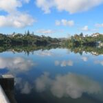
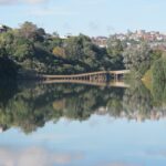
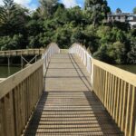
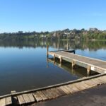
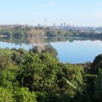
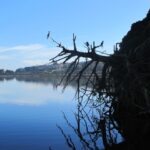
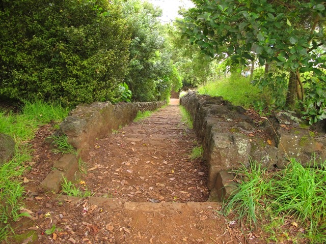
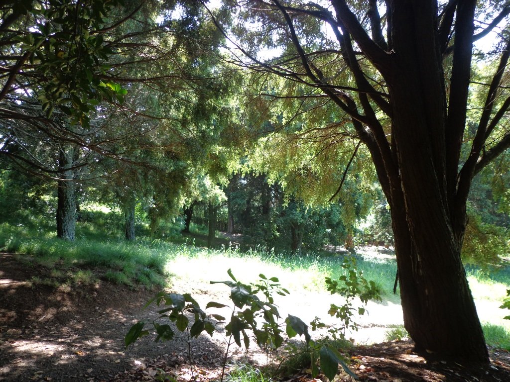
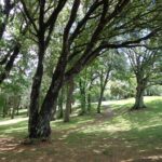
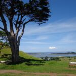
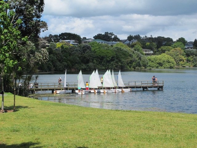
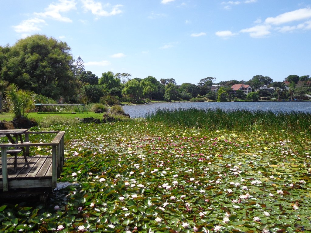
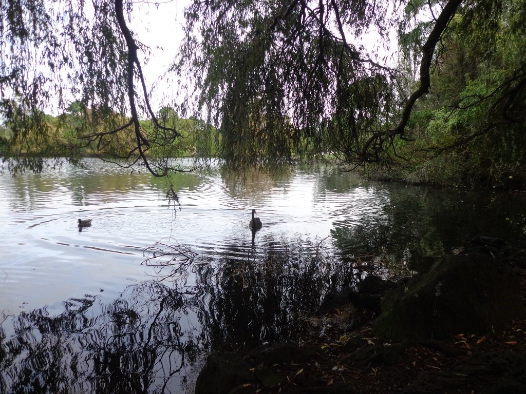
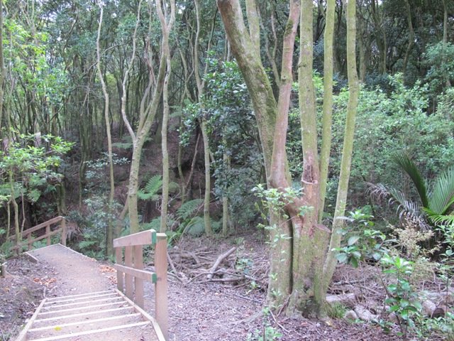
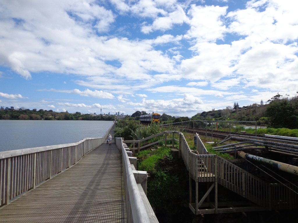
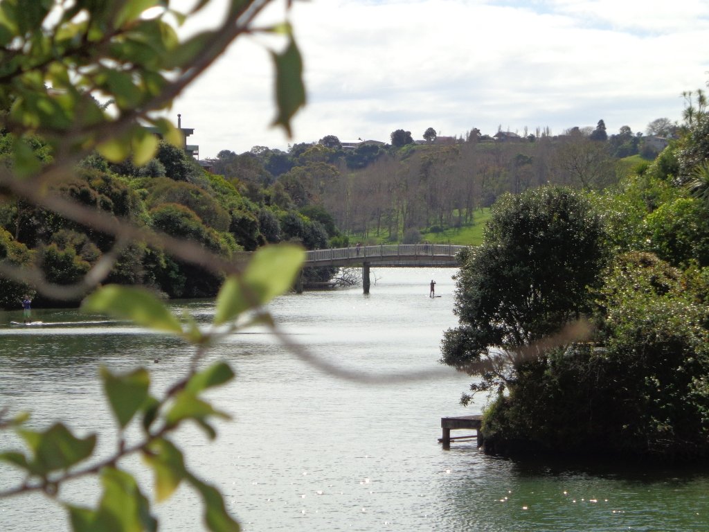
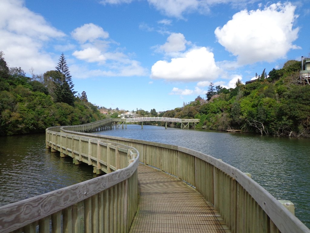
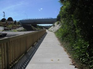
It’s been a while since we explored the Orakei Basin area. The Auckland Council has done extensive work with the new boardwalks, repairing the slips on the bush track and concreting most of the walkway.
Families with young children would really appreciate having public toilets – there are none nearby. Either side of Lucerne Road there are steep inclines that could be unsuitable for parents to push a pram with their child in it, and also steep steps.

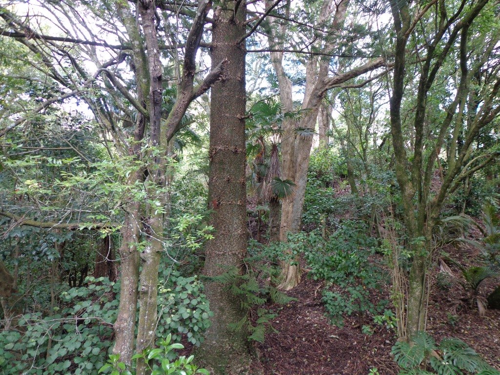
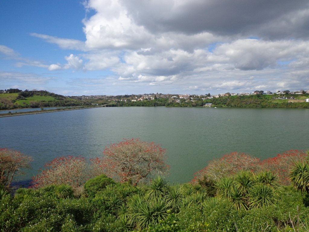
Today we explored extending the walk to include more of the surrounding suburb of Meadowbank – crossing bush-clad gullies and streams, the Waiatarua Bridge, the Orakei Creek Bridge and walking along Lucerne Road ridge.
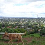
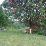
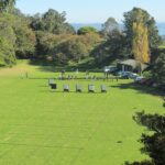
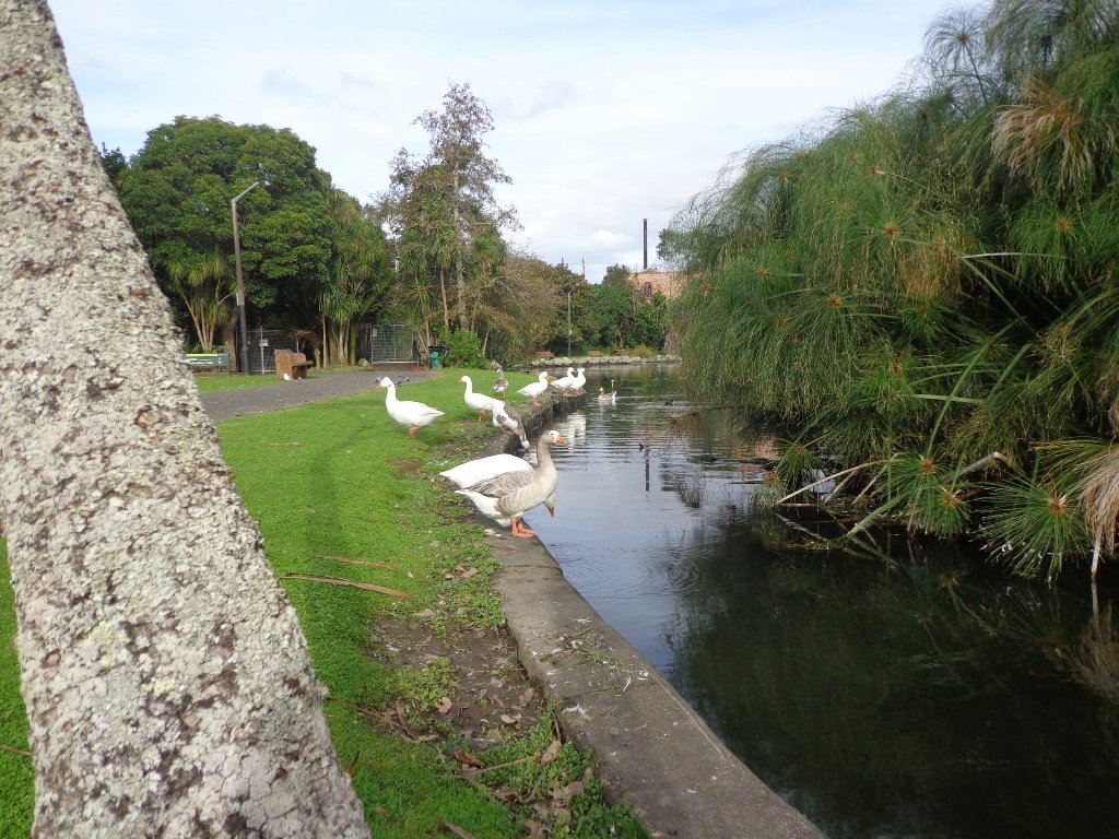
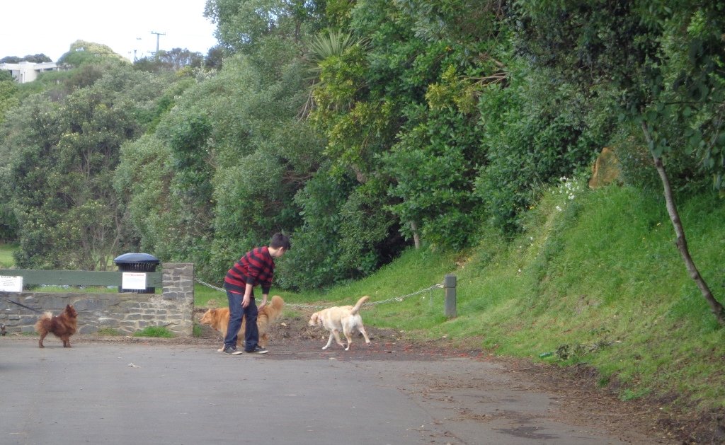
This is a dog-friendly walk – the off leash area in the Orakei Basin Reserve between the waterski club and the carpark, is very popular. The grassy area can be very muddy in the winter and gumboots are recommended.
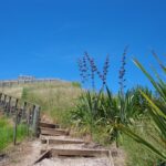
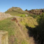
Description: A mix of level and steep paths, steep steps. Suitable for most ages and levels of fitness and mobility, designed with flat shoes or running shoes in mind. Not suitable for wheelchairs and pushchairs.
This is a dog friendly walk with an off-leash area.(See other Dog Friendly Walks)
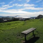
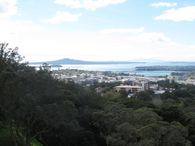
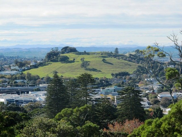
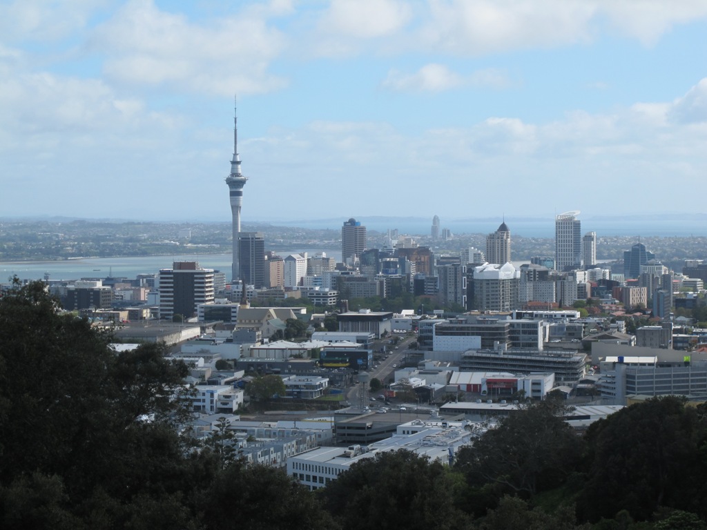
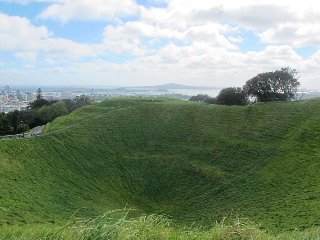
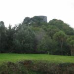
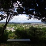
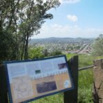
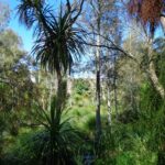
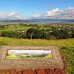
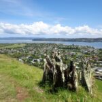
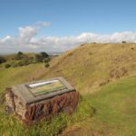
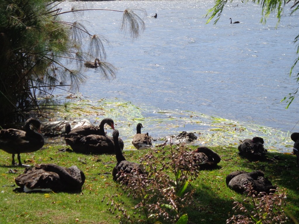
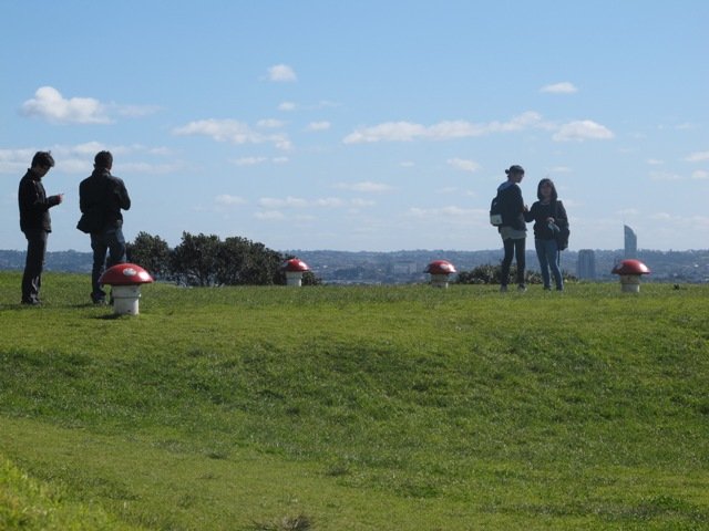
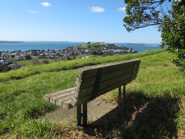
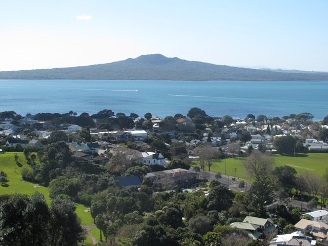
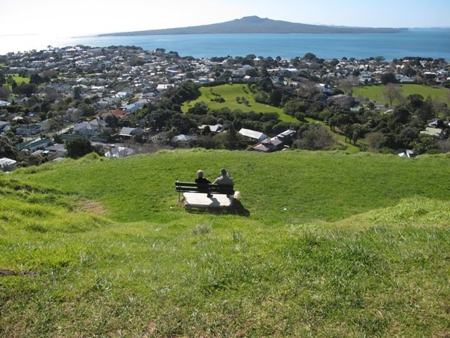
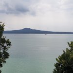
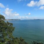
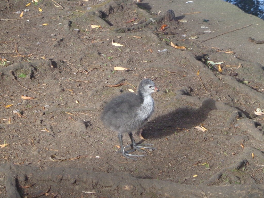
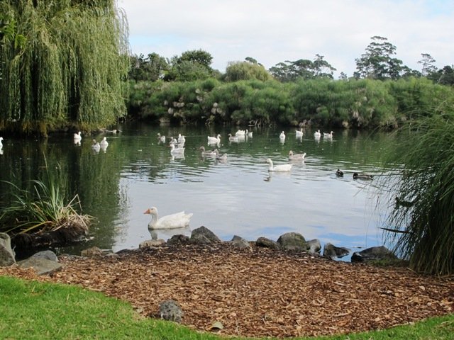
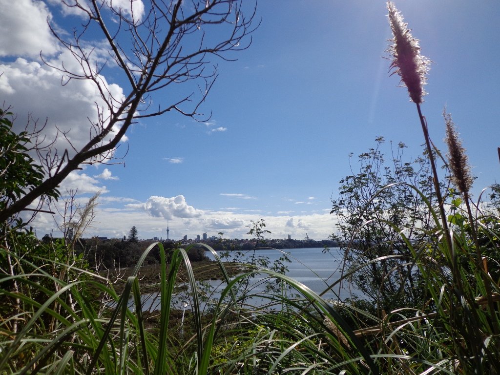
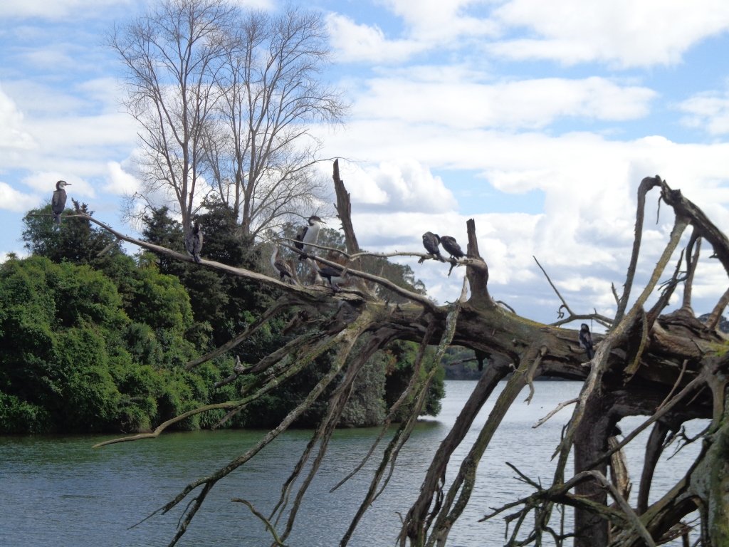
To see: Wonderful views of Mt Eden and Auckland City skyline. Small areas of bush. Railway track. Birdlife. Volcano crater.
Time: approx. 90 minutes (about 6.45 kms) or the shorter route 45 minutes (about 3.45 kms).
Parking: Near Kings Plant Barn, off Orakei Road near train station.
Buses: to Orakei Train Station
(Please note: no public toilets)
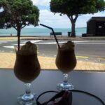
Suggested Cafés:Kings Garden Cafe does very good coffee (and lunches) as does Cafe Greenfingers at the Palmers Garden Centre

Stay on track…get your detailed guide and map over at our Walks Store (AE-017 Orakei Basin Explorer) and our Book Store ( one of 12 walks featured in our books “Volcanoes” and “Best of the East”)


or…
You can download this free Orakei Basin walkway map from Auckland Council.
 Suggested Cafés: