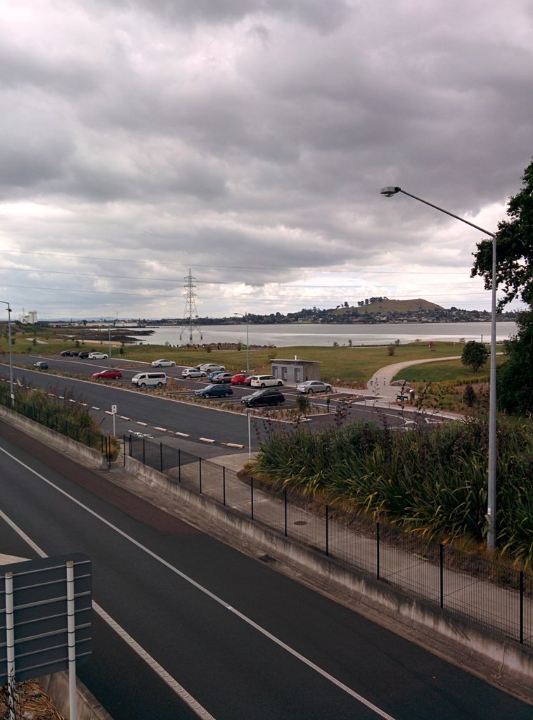
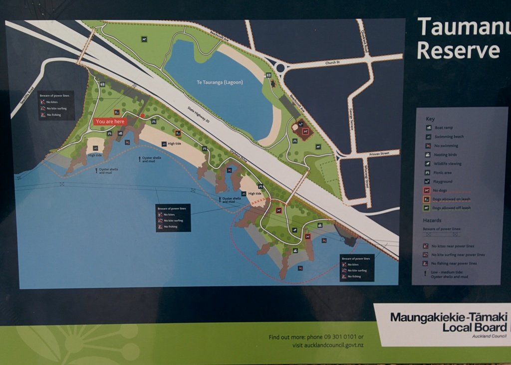
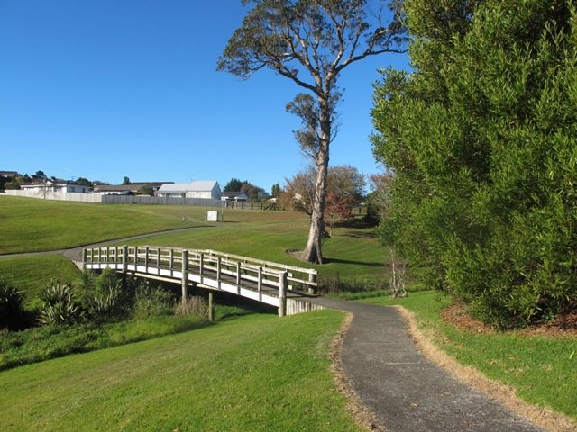
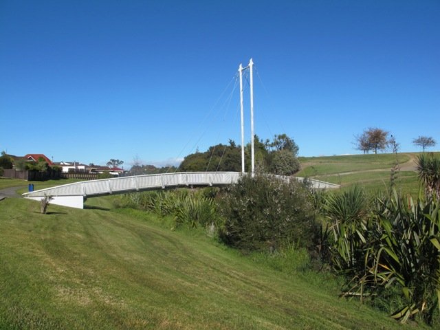
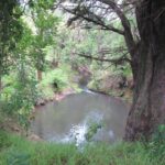
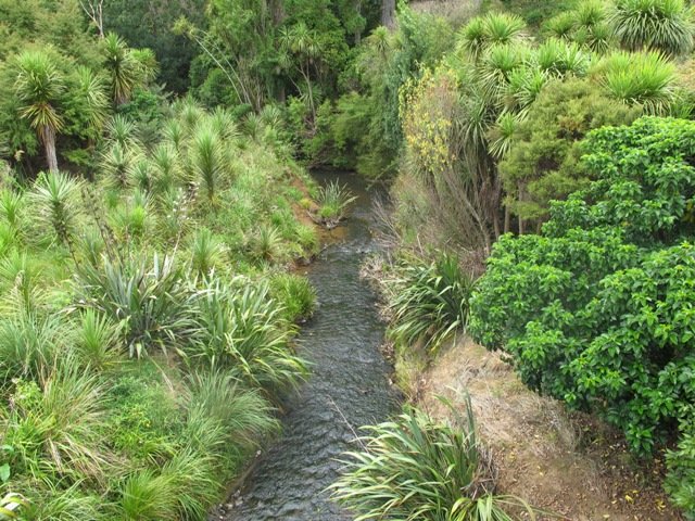
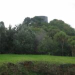
Part of our Pakuranga Loop Walk is along the Pakuranga Rotary Walkway which currently extends to Pigeon Mountain, along the Tamaki Estuary and Whakaaranga Creek.

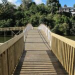
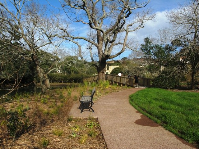
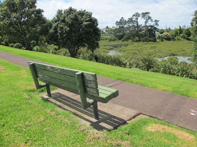
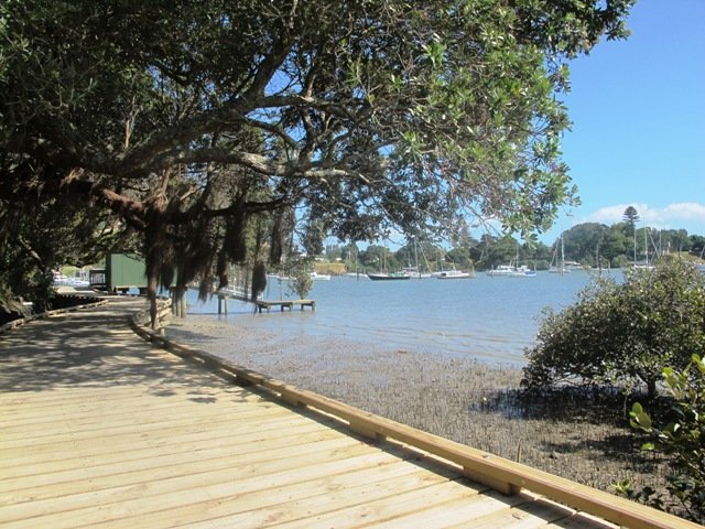
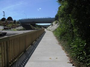
It is a safe cycling, jogging and walking route. The walkway is paved and relatively flat, making it suitable for wheelchairs, pushchairs and a range of fitness levels. The walkway along the estuary is safe for family cycling.
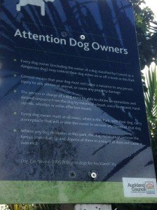
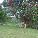
The walking route is also great for prams/buggies and dog walkers (on leash). There is an off leash dog exercise area –
along the Pakuranga Rotary Walkway between the Panmure Bridge and Waakaranga Reserve which permits dogs off-leash under the owners control. This is a huge off leash walk but most people do not know about. This sign can be found at the entrance to the walkway at Kerswill Place. See Auckland Council dog rules.
These flat river plains were used to grow oats, hay and wheat up until the 1950’s. Pakuranga was then known as “the granary of Auckland”.
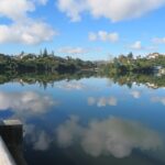
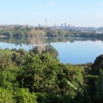
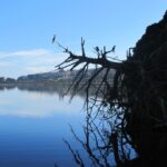
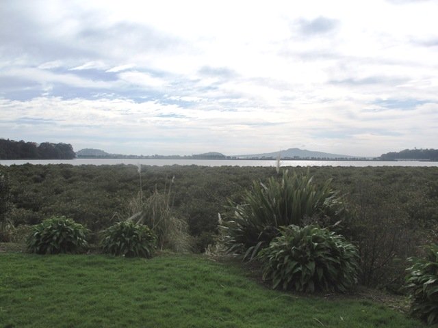
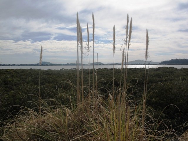
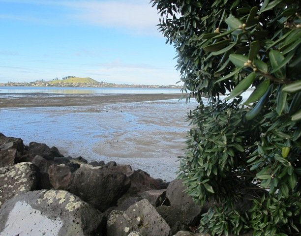
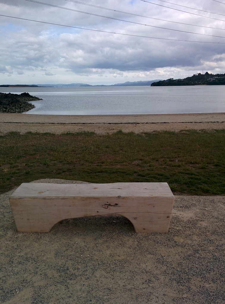
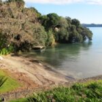
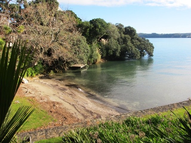
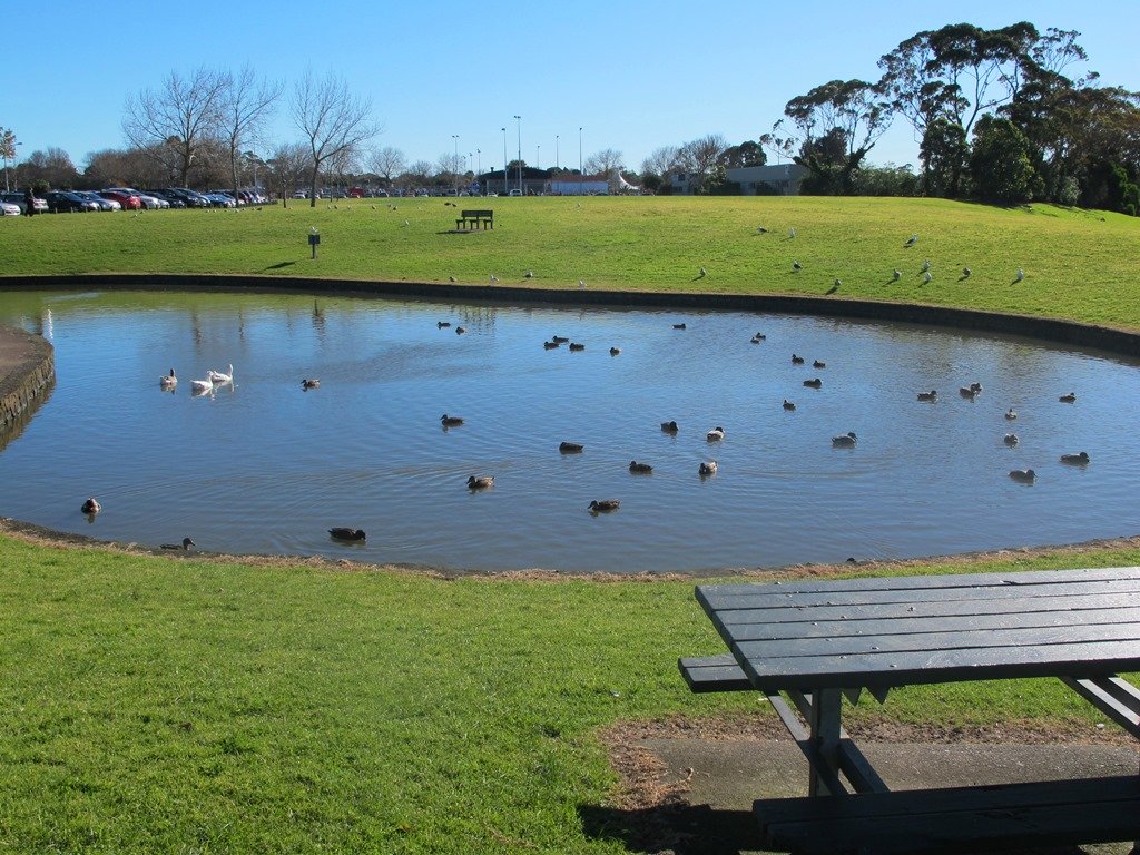
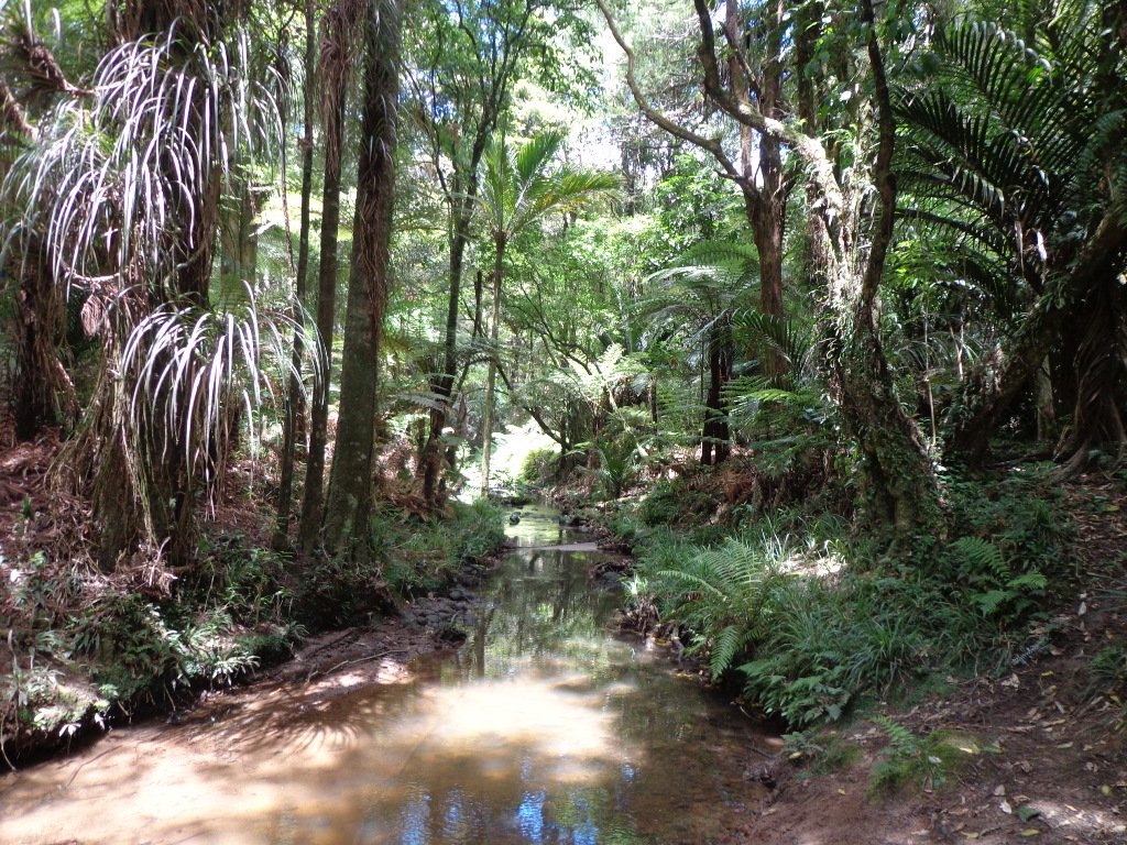
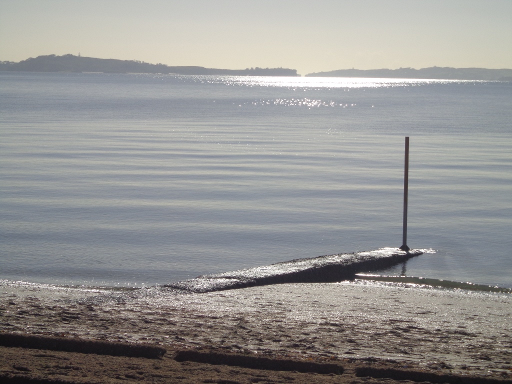
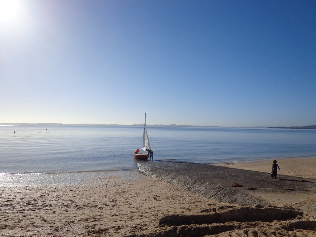
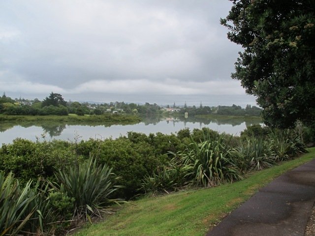
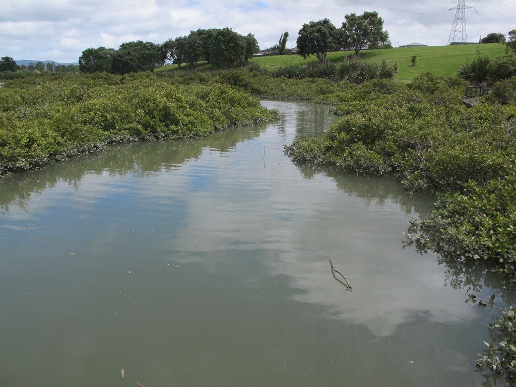
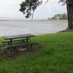
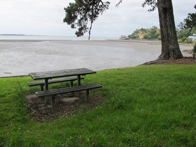
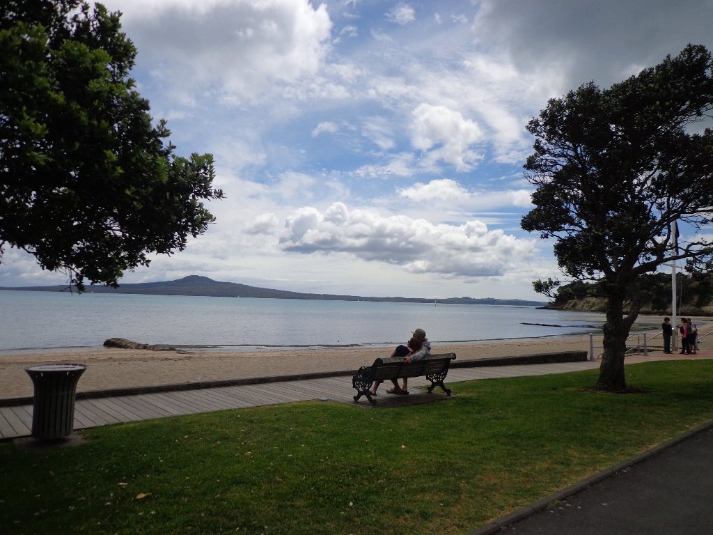
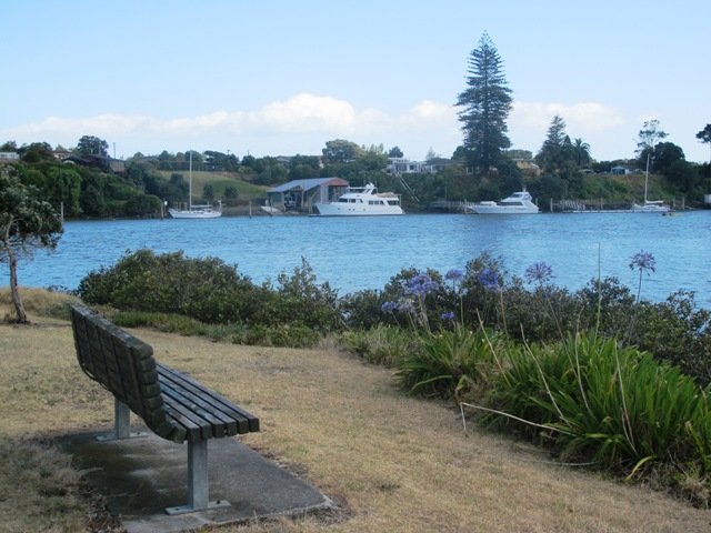
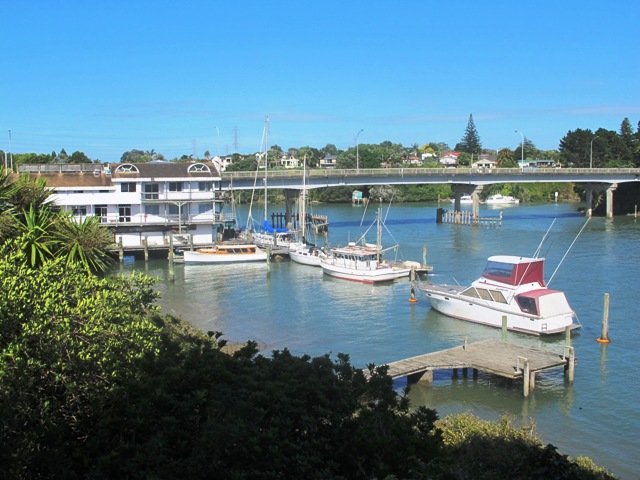
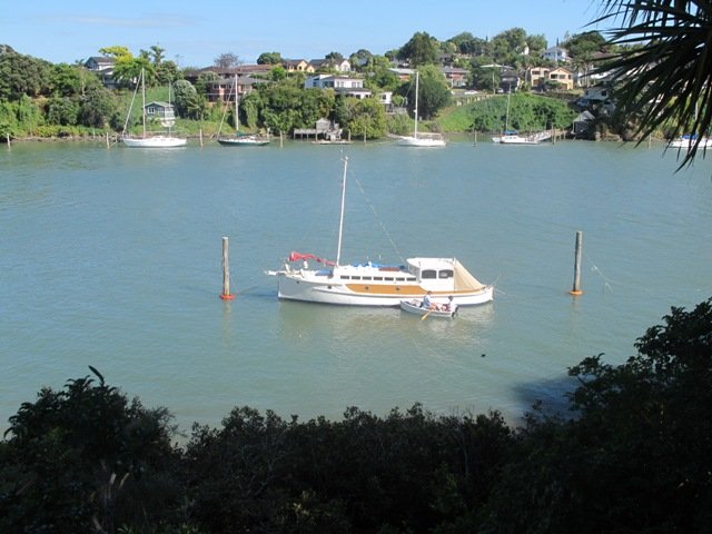
This walk section looks into the mouth of the Panmure Lagoon from the opposite bank.
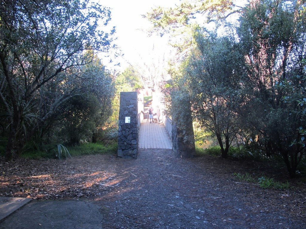
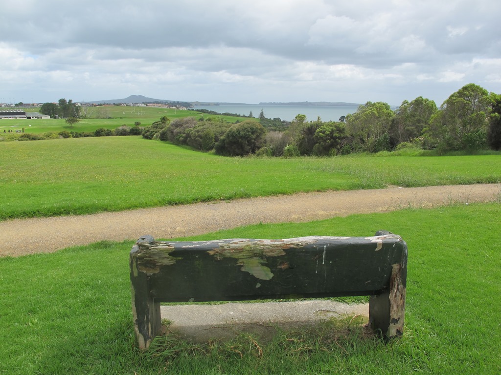
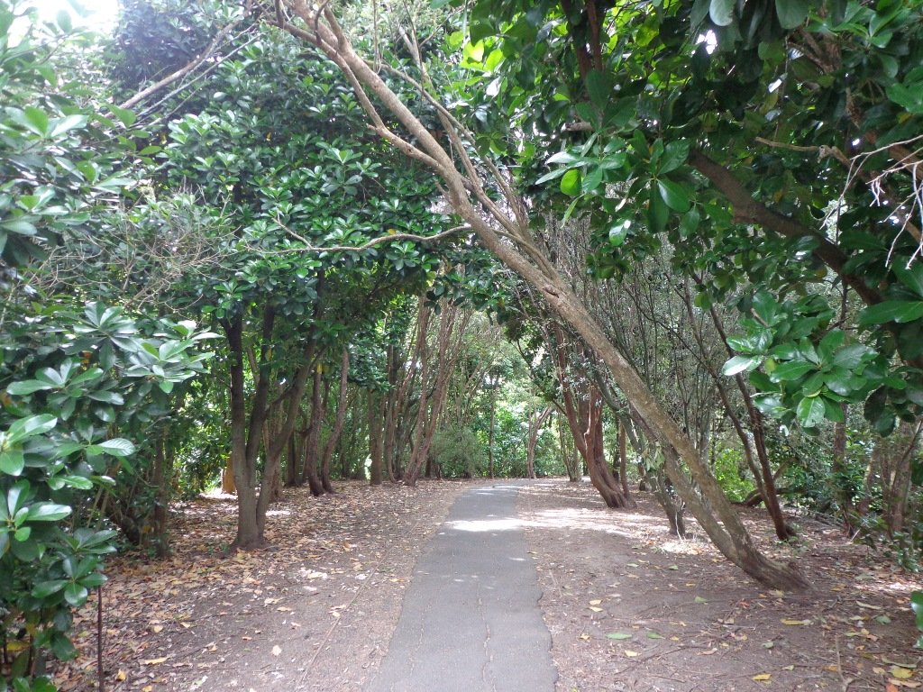
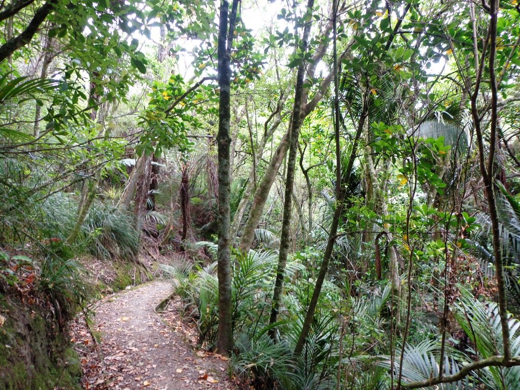
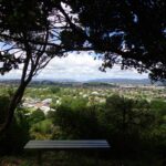
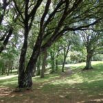
Description: A mix of level paths and slightly inclined paths. Suitable for users of average fitness and mobility.
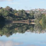
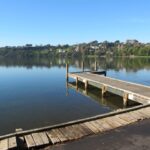
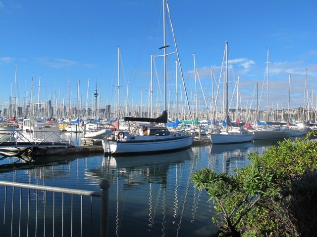
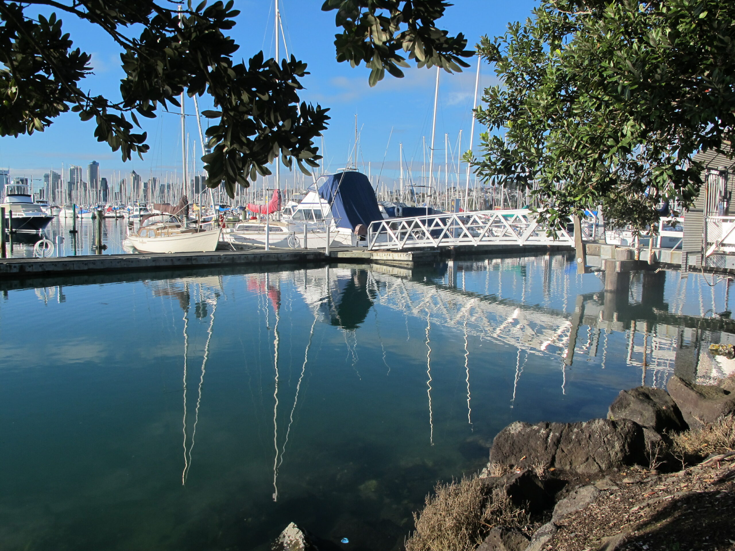
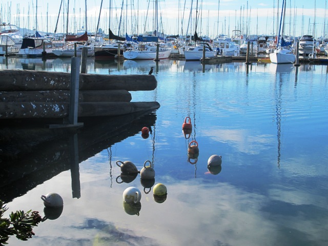
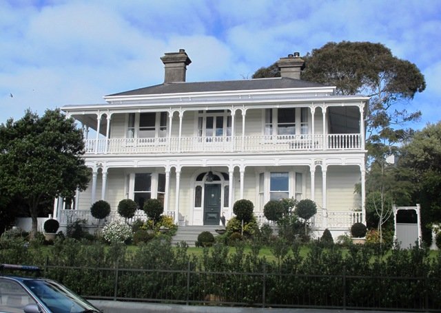
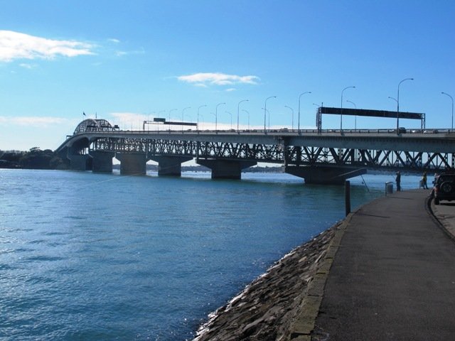
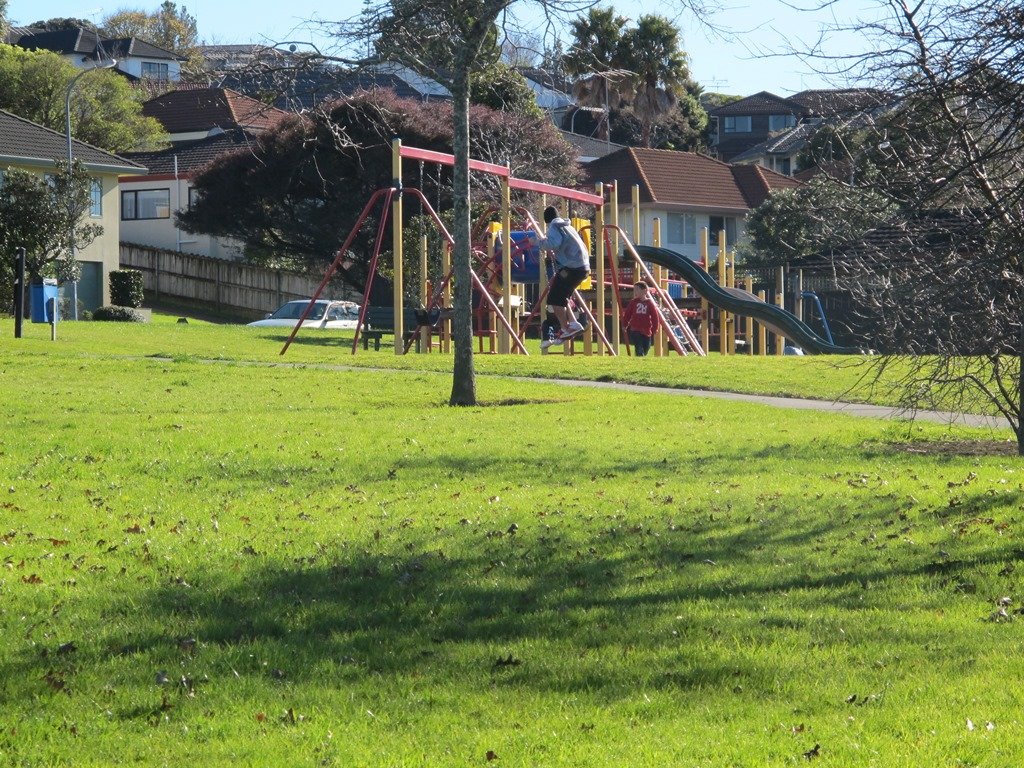
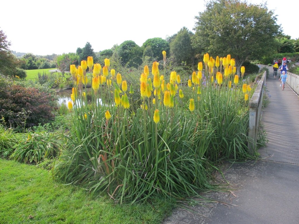
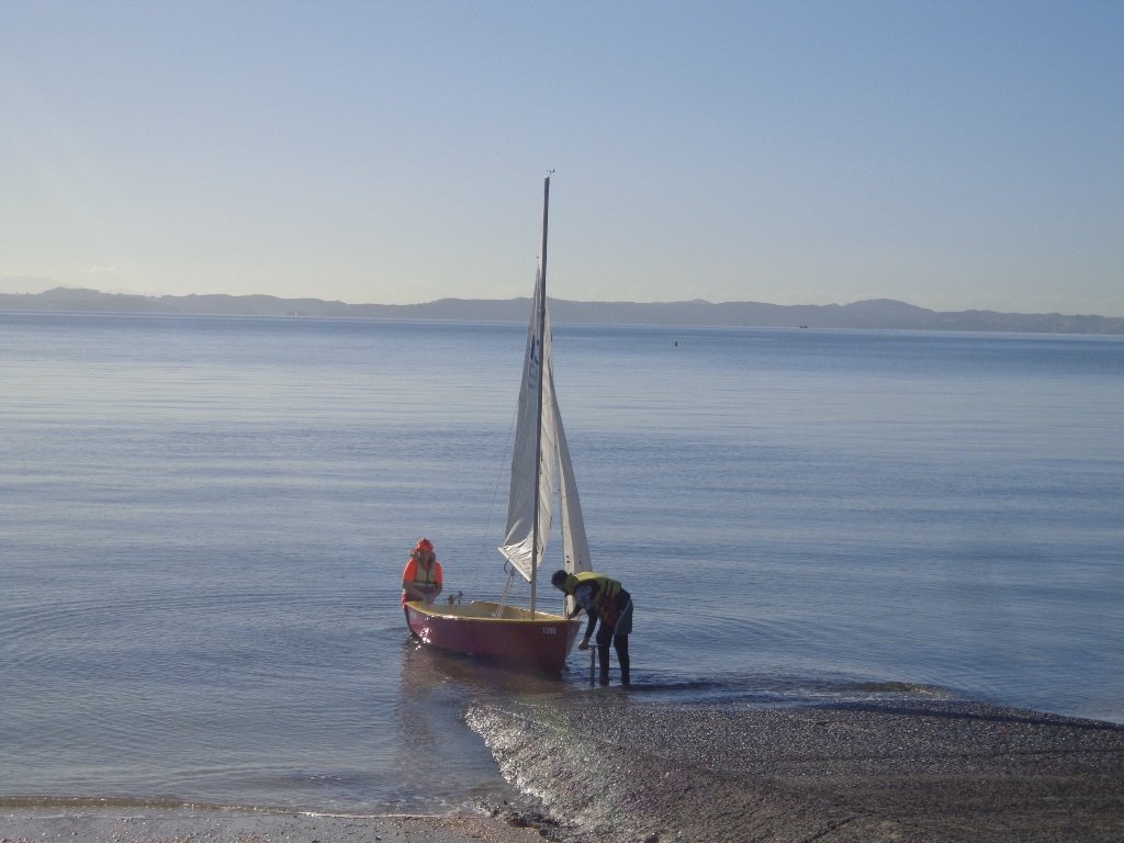
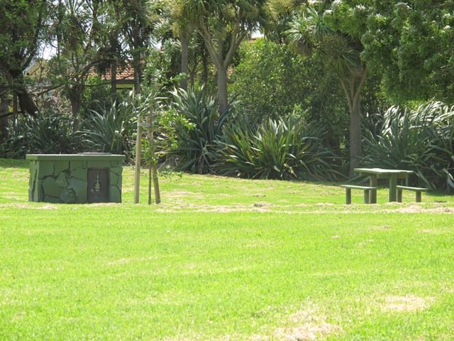
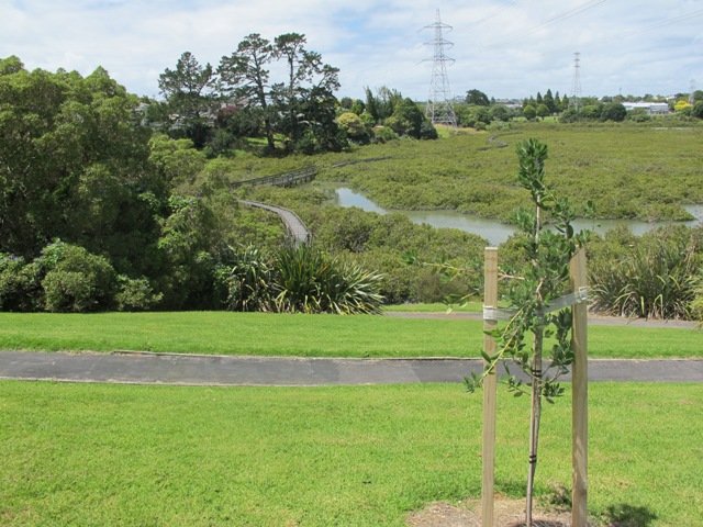
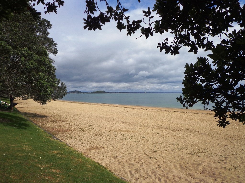
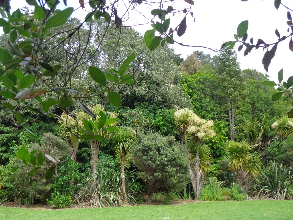
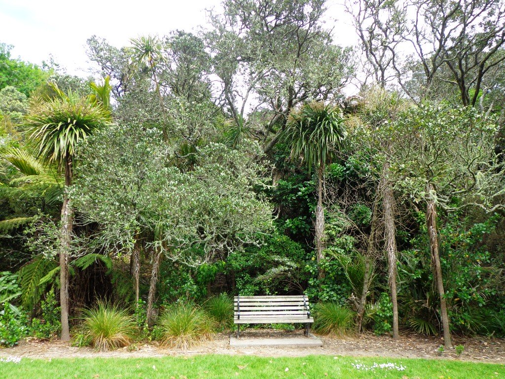
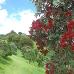
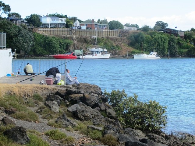
To see: Estuary views, boats, wetlands, residential housing, Mt Wellington, Pakuranga Mall
Time: approx. 40 minutes. (about 3.75 kms)
Start: Pakuranga Mall Map
-
 Pakuranga Loop (3.75kms)$1.95
Stay on track…find this walk’s map and directions guide (AE-057 Pakuranga Loop) and other walk self-guides at our Walk Store
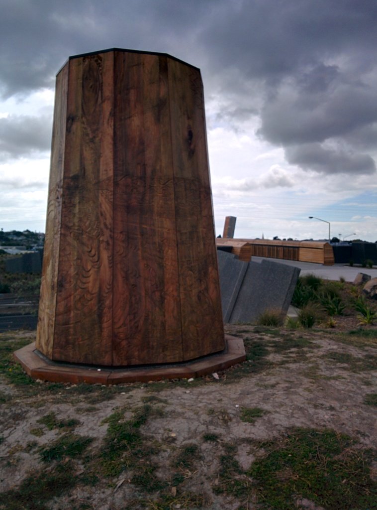
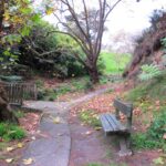
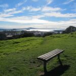
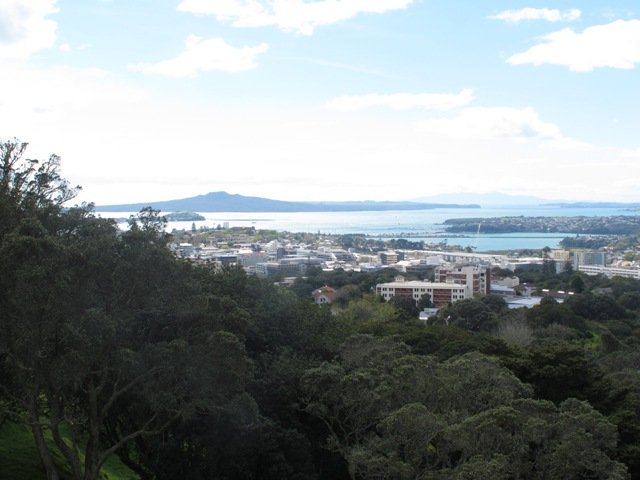
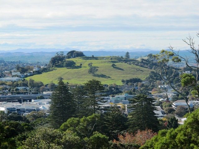
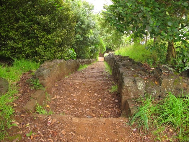
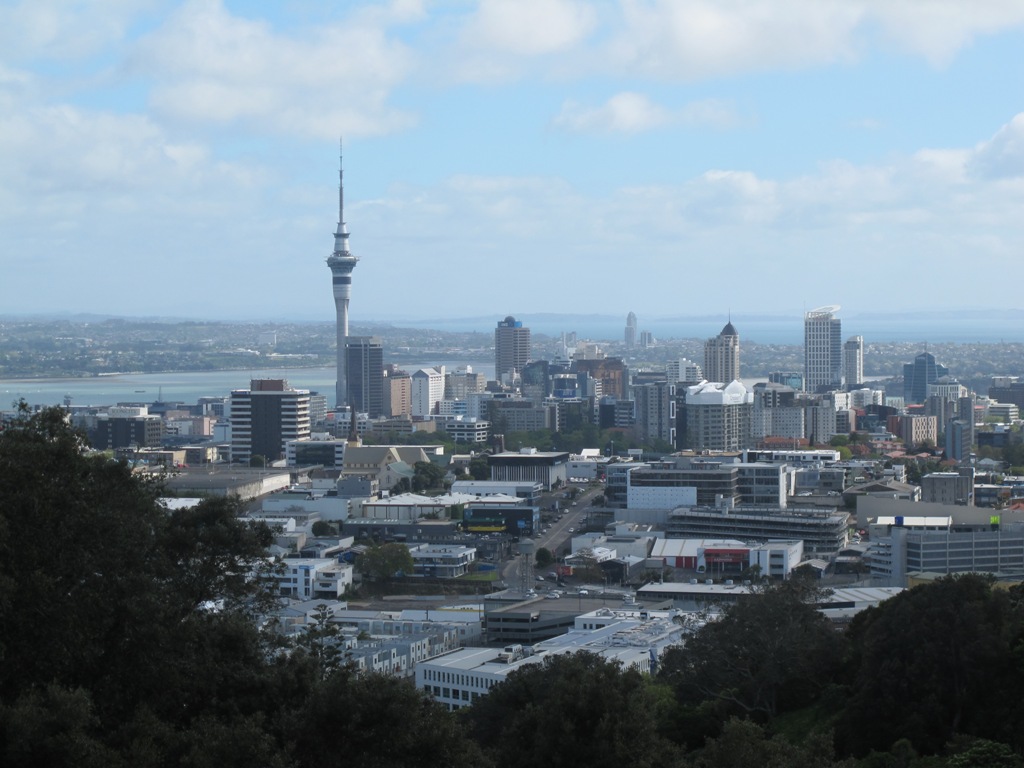
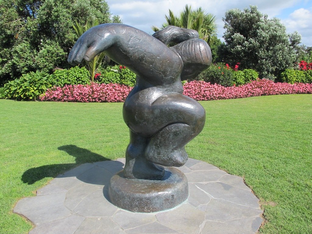
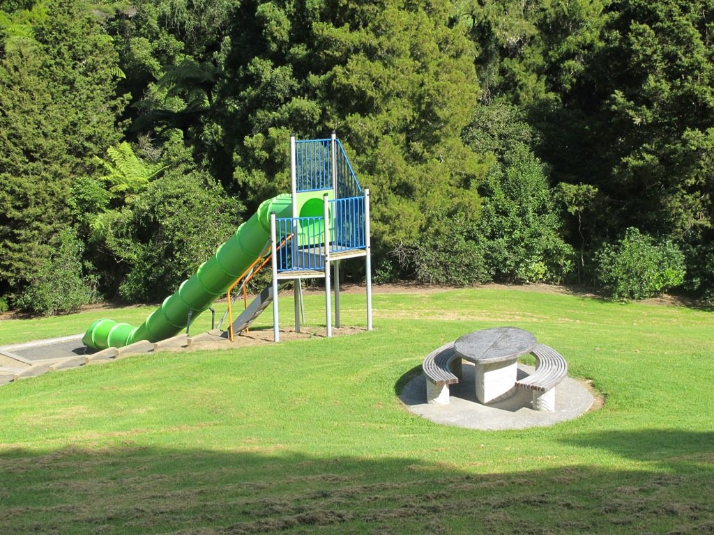
Click on the photos below to view in full screen.

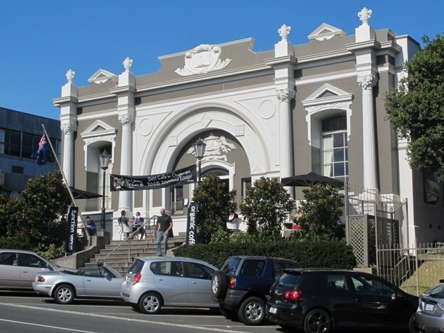
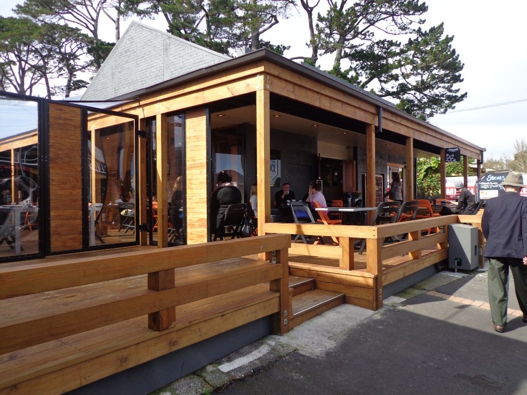
 Suggested Cafés:
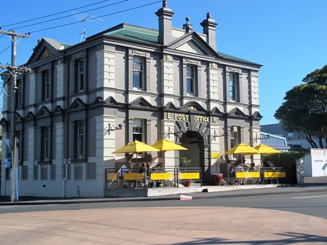