Tag Archives: New Discovery

Puhinui Reserve Walkway

Puhinui Reserve Walkway was another new discovery for us today.  It is a huge (199 hectares of rural landscape) undeveloped area out near Auckland Airport (off Price Road, off Puhiniu Road).

Puhinui Reserve Walkway will eventually link up with Te Araroa – The Long Pathway.

walks in Auckland

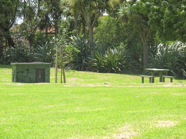
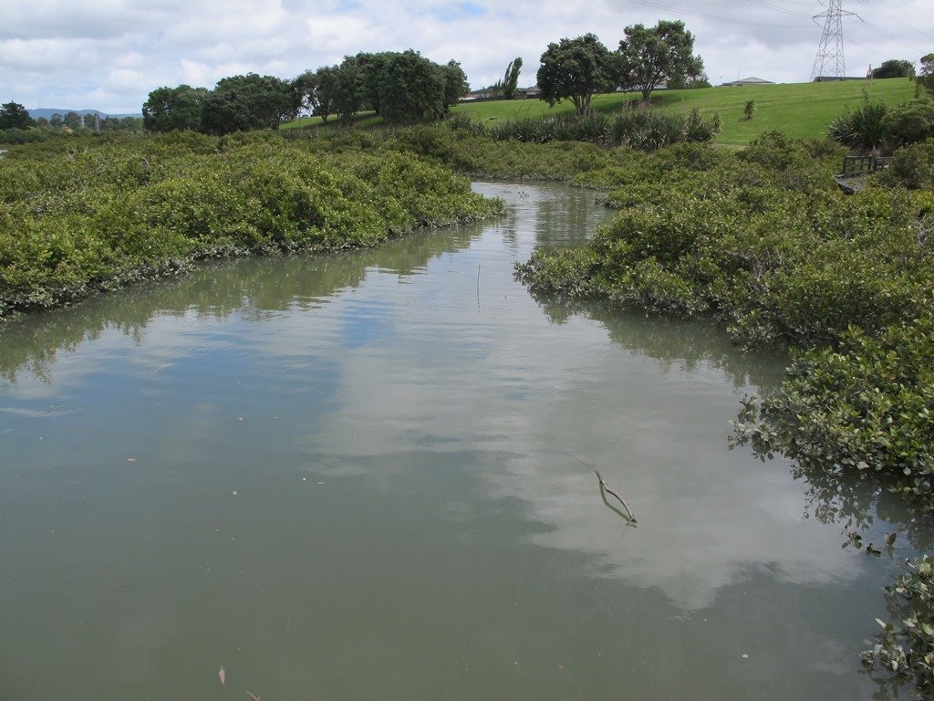
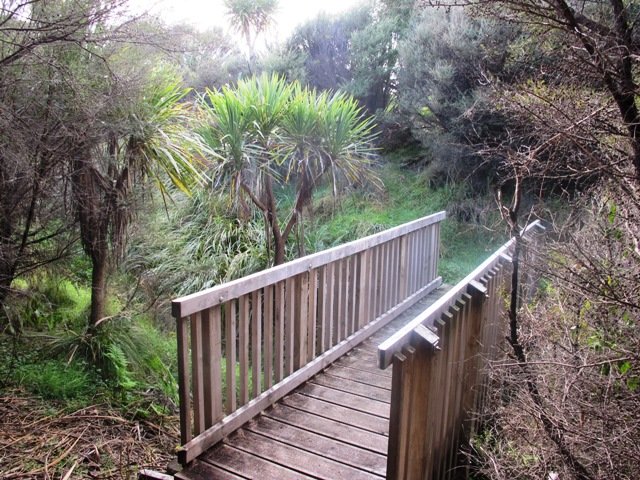
Puhinui Reserve forms part of the extensive Matukuturua volcanic field and is linked with pre-European settlements centred around Wiri Mountain (which has been extensively quarried) and Matukutura (McLaughlins Mountain). The area is used for a 3 day equestrian event once a year.  It is a great area for safe family cycling on mountain bikes. This is a mostly flat walk. Dogs are not permitted as it is a conservation area for birdlife (such as the rare or endangered NZ Dotterel, wrybill, fernbird, and black stilt). Take a picnic – there are no nearby cafes.

The walking route is suitable for mountain buggies. Puhiniu Reserve is a great place to visit from about the end of July to see the newborn lambs and calves.

Best of the South: Short walks in Auckland

Description: A mix of level paths and slightly inclined paths. Suitable for users of average fitness and mobility. May require boots in wet weather (mud and puddles), running shoes suitable in dry weather.
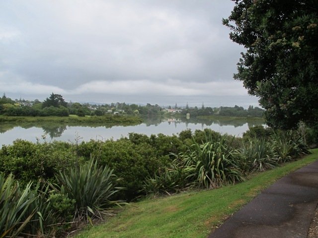
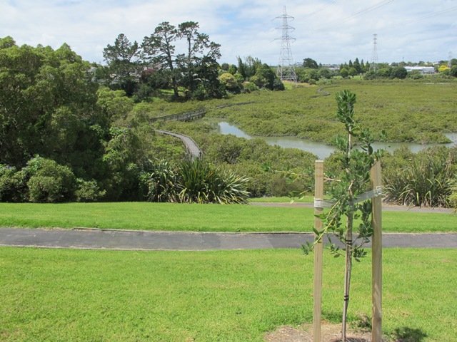
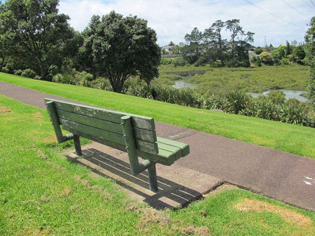
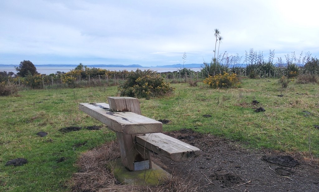
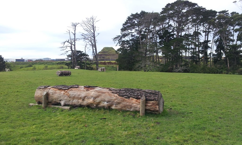
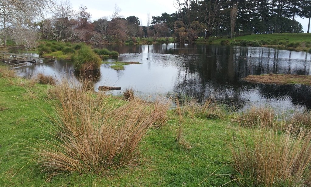
To see: Manukau Harbour conservation land, farmland and farm animals, view of McLaughlin Mountain (volcano), native bush.
Time: approx. 80 minutes. (about 6.50 kms)
Start: Price Road (off Puhinui Road, Wiri) MAP

*** Download this walk AS-039 Puhinui Reserve Loop for free when you enter your details here. *** or…

One of 12 walks available in “Short Walks in Auckland: Best of the South”. Visit our book store to get your copy.

Mangemangeroa Reserve walking track

walks in AucklandThe Mangemangeroa Reserve track was a totally new discovery for us today. I was  aware of it’s existence (and my awareness was raised further by my friend Isabel).

Today this coastal bush walk was an initial explore.  We concluded that it cannot be made into a circular walk however it is a beautiful magical place to walk, so we will be returning to document it fully. Yet again we hit the familiar snags, lack of sign posting – so we shall endeavor to keep fellow walkers on track with clear directions.

Today we met a couple at Shelly Park Beach who had walked from Howick Beach to Hayley Lane and were on their return journey. They had been walking for 31/2 hours to that point.

The views from the top of the ridge down the valley to the estuary were stunning, the bush was peaceful, and it was still and beautiful down by the water’s edge at Shelly Park Beach and the yacht club.

Download the Auckland Council brochure here.

I also suggest if you have the time that you pop into Howick Village markets which are held every Saturday morning. There is also a Sunday craft marketat All Saints Community Centre in Cook St check here for details.

walks in Auckland

How to get there: Southern Motorway to South Eastern exit. Follow Route 10 to Ti Rakau Drive, turn right and keep going past Botany Town Centre to its end. Turn left onto Chapel Rd, right onto Whitford Rd then hard left onto Somerville Rd. (MAP)

A walkway runs through native bush, past mudflats stretching along the estuary to Cockle Bay. Or walk through paddocks dotted with cows. Ferries used to manoeuvre through the creek but now it’s home to mangroves, crabs and hosts of birds. Beautiful lookouts and picnic spots. Dogs are allowed on a leash, except on the shoreline during bird breeding season, where they’re banned.

Avondale Whau River walk

walks in Auckland

The Avondale Whau River walkway from New Lynn, was a new discovery yesterday. The Whau River is almost full of mangroves but it does have a boardwalk going across thanks to Dawn Persson’s commitment to the Avondale Community.

This is a dog friendly walk with an off-leash exercise area and is a mostly flat walk – just one gentle rise after the boardwalk. The walking route is also suitable for prams/buggies.

You may like to pack a picnic or take advantage of the nearby New Lynn Cafes.

Description: A mix of mainly level paths and one slightly steep path. Suitable for users of average fitness and mobility. May require boots in wet weather, running shoes suitable in dry weather.
To see: Water birds, Mangroves, river views, boardwalk
Time: approx. 50 minutes. (about 6 kms)
Parking: Lynn Mall Shopping Centre Carpark

Stay on track…get your detailed guide and map (AW-030 Whau River Loop) over at our Walks Store and our Book Store (one of 12 walks featured in our books “Dog Friendly Walks part 2” and “Best of the West“).